Trip report by site editor Rick McCharles
Nov 2, 2014
Kyanjin Gompa 3830m – Langshisha Kharka 4110m
Another classic, perfect November day in the high Nepali Himalaya. Blue sky. Bright sun.
I departed Kyanjin Gompa late. As usual.

Today I would walk as far up the river as possible. Then camp. Only idiots carry their own tents on a Nepali Teahouse trek. I’m one of those idiots.


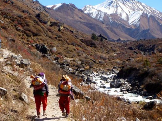
Past Kyanjin Gompa there are no houses. No people. Nothing but Yaks. If I wasn’t so hair impaired, I’d swear the Yak is my spirit animal.

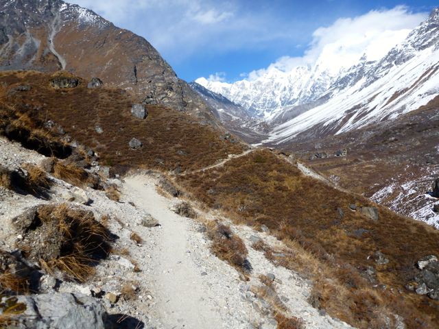
It’s rugged, varied, interesting trekking.


There are plenty of birds up high. The Golden Eagle looks to take smaller birds on the wing.

Cake for lunch. Kyanjin Gompa has two bakeries.

My friends headed back to town. They were saving their legs for an attempt on an even more difficult trekking peak, Tsergo Ri 4984m, next day.

Most Langtang day hikers stop here at Numthang viewpoint 3940m. To go further is a minimum 1hr, one way commitment including a climb over the big moraine wall on the left.

I continued up valley.


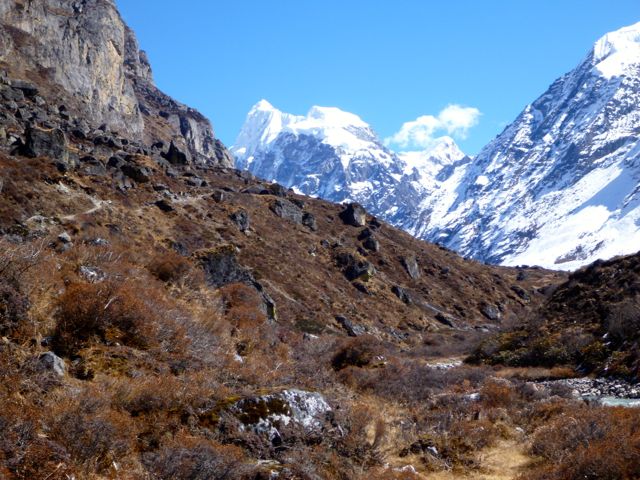
Over the moraine, the river valley winds around left presenting a completely new (bleaker) vista. Looking to Tibet.


This was my favourite part of the hike, so far.
The Yaks get even hairier up high.

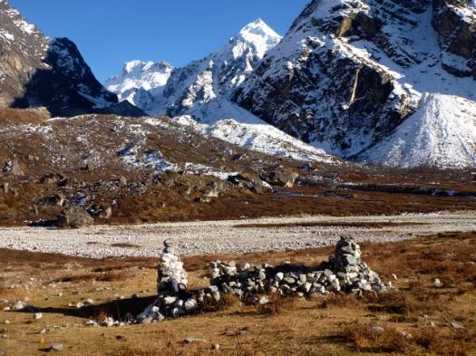
This was as far as I got. In the distance is the source of the Langtang, close to Morimoto Base Camp.

Perhaps I should have spent an extra day up here. Check a 2009 photo of Morimoto.

Earlier today, my friends caught a glimpse of some kind of wild dog. This scat is from some sort of carnivore beastie. There are no domestic dogs in the high Langtang.

Finally I set up my little tent in this seasonal Yak herders hut overlooking tomorrow’s adventure, a day hike up towards Tilman Pass the other side of the river.
A friendly Japanese expedition had already claimed the best tent site, nearby. They would head to Motomoto on the morrow.

I was ready for a cold, but moonlit, night.

Just at dusk I saw some grazing animals high above the Yaks. I hope these are Thar.

Last light on Mt. Urkinmang. (Have I got the correct mountain?)

Tilman Pass is just to the right of that perfect snowy triangle. I believe.
As always at dusk, Yaks come to check if you’ve left anything edible outside.

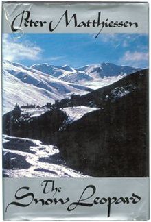 During the long, cold night in a cocoon of down and nylon, I listened to one of my favourite authors, Peter Matthiessen, read one of my favourite books, The Snow Leopard.
It’s his classic philosophical account of a November 1973 Nepal trek to Shey Gompa, Crystal Mountain.
If you wonder why I keep returning to Nepal, read Snow Leopard. Matthiessen is most eloquent on the joys and challenges.
Matthiessen had boots that were too small. A leaky tent. And no audio books to enliven the 12hr nights.
My 57th birthday. Under the Himalayan sky.

see all my high res photos from this day
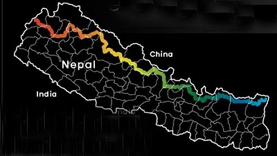
day 0 | day 1 | day 2 | day 3 | day 4 | day 5 | day 6 | day 7 | day 8 | info | … Gosainkund

… what makes this a joy to read is the sharing of Chris’ discovery of life on a trail like this, the beauty of the desert, the joys of the high mountains, the fascinating variety of the forests and the glorious wildcamps along the way. I wish I could describe this all a bit more eloquently but you’ll just have to go and read the book! …