Click PLAY or watch it on YouTube.
Our favourite trek there is Markha Valley.

Best hikes, treks, tramps in the world.
Cam was warned off this (supposedly) dangerous part of the world. But decided to go anyway based on local information.
The Colombian Andes.
The most northern part of the world’s longest mountain range.
The hiking highlight of this month’s trip to the region was a circuit of the Sierra Nevada del Cocuy …
59 miles (95 km approx.) …


related – best website – pnncocuy.com
Volunteers are building 130km of trails around the remote village of Curraj Eperm.

It’s part of a non-profit, student project called the Albanian Challenge (www.albanianchallenge.cz).
The village is cut off from the rest of the world. In fact it takes two days to walk there.
Highlights include caves, waterfalls and peaks 3000m high. Typical Albanian culture (food, architecture and customs) will be of interest to foreign visitors.
Click PLAY or watch a promo video on YouTube.
The Albanian Challenge was launched after the town lost its bridge in a flood. Increased tourism will help with the rebuilding effort.
Breathtaking is the only word that can remotely describe the beauty of Hunlen Falls in remote Tweedsmuir Provincial Park in the West Chilcotin area of British Columbia.
But almost no one has ever heard of Hunlen Falls – and nor do they realize that these waterfalls are Canada’s third highest – plunging 1,316 feet (401 meters). In fact they are the highest waterfalls in Canada IF you measure as a continuous unbroken drop. …
The best way to see Hunlen Falls is via floatplane. It’s a twenty minute flight from Nimpo Lake. If you have time, you can land on Turner Lake and take the one kilometer trail to the lookout.
Alternatively you can hike to Hunlen Falls. …
… 16.4 kilometers one way with a vertical raise of 800 meters (2625 feet). It’s a great trail if you like counting switchbacks. There are 78 of them.
Plan to take 6-9 hours one way …Canada’s 3rd Highest Waterfall – Breathtaking Hunlen Falls in BC
related – trip report – three day trip to Hunlen Falls and Turner Lake
Our new information page is up. And complete.
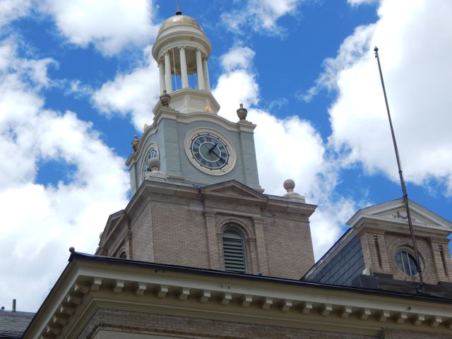
World → North America → Rockies → Colorado Trail

This is a MAJOR long distance adventure like the Pacific Crest Trail. You need do a lot of advance planning. If 500 miles is too much we recommend 3 highlight sections:
 486mi (782km) from Denver to Durango
Looking for inspiration? 🙂 Click PLAY John Bryant Baker 2012 on YouTube.
See more on our Colorado Trail information page.
trip report by site editor Rick McCharles
day 1 | day 2 | day 3 | day 4 | info page
seasonal Spring – Kennebec trailhead – Durango
The morning was overcast and gloomy for the first time on the hike. 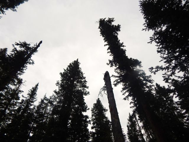 I’d hoped the pain in my leg would have “recovered” by morning.
It had not. 😦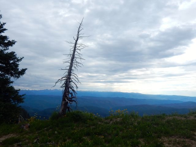 My closest escape route was Kennebec trailhead, 8 miles onward.
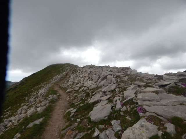
Would there be any vehicles there? Could I catch a ride back to Durango, skipping the last 20.5 miles?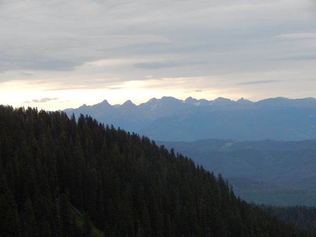 But when I hit the Highline Trail section I couldn’t stop grinning.
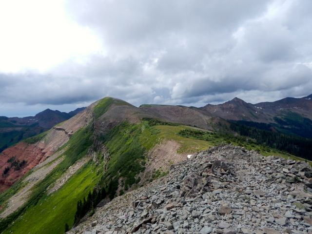
 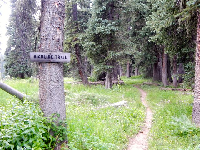 It came clear to me why these are some of the highlight miles of the entire Colorado Trail. The Indian Trail Ridge section of the Highline is fantastic.
Photos cannot capture the wide and unique vista. But I’ll post some anyway. 🙂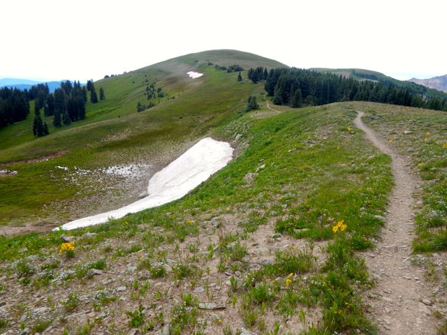
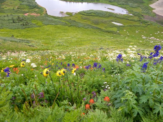
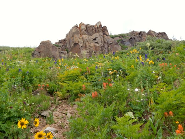
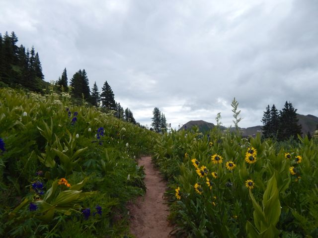
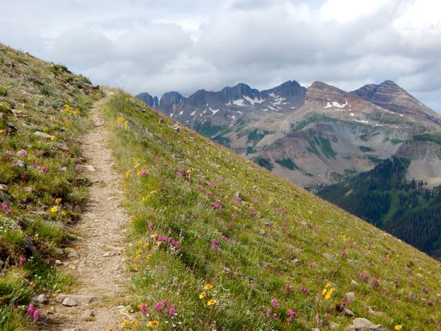 The wildflowers are reputedly better here in July than anywhere else on the Colorado Trail.
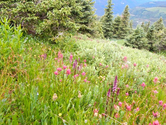
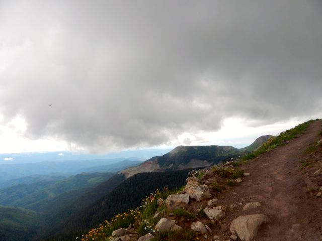
I was thinking to use this as my OK Cupid profile pic. 🙂 Ladies? 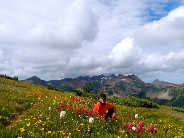 Bad news. I was moving much more slowly than usual … and the big, bad thunder clouds started piling up atop the highest point on the trail.
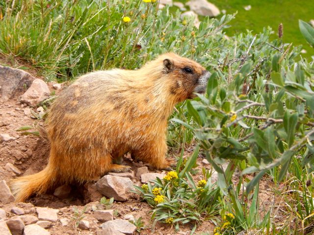
 Marmots can hide in the rocks if the thunder and lightning starts. But I’d be very exposed.
 I shuffled on and managed to drop down to Taylor Lake and the Kennebec trailhead before the rain started.
 I was relieved to get off the heights. And into even thicker wild flowers.
 The first folks I met – a family originally from Montana – offered me a lift part way down the mountain towards Durango. They were looking to fill their pick-up truck with firewood.
 (note – At this point my camera said “batteries exhausted“. I resembled that remark. And put the camera away. My hike OVER. 51 miles total.)
I was pleased to tag along. Prepared to start working the chainsaw when a second vehicle arrived. A couple of ex-military fishermen. They’d needed to hitchhike plenty over their many different fishing trips. The guys dropped me at the Rec Center in Durango so I could shower-up and change my clothes.
 A hot shower is one of the few things I miss while hiking. This one was glorious. 🙂
A lady at the Rec Center suggested I use the rest of the facilities. After all, I’d paid full price for the day – $6!
It sounded crazy at the time, but I did end up returning in the evening for a workout in the weight room. And another long, hot shower. 🙂
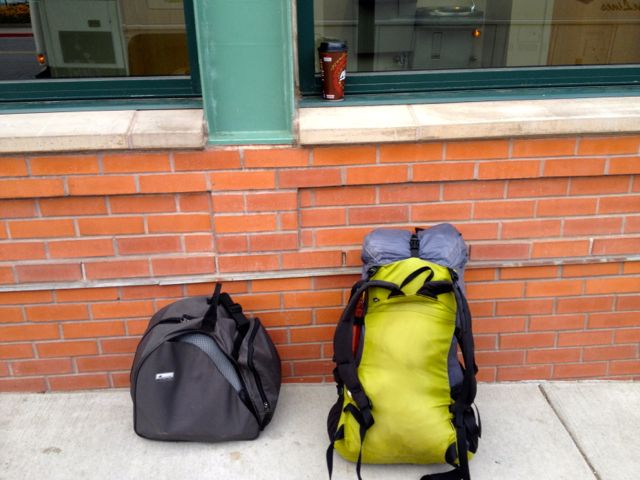
My stashed green garbage bag was exactly where I’d left it days ago. I repacked for travel, the Colorado hiking finished for 2015. (I was walking with a limp.)
 Have you ever tried to fly from one small town to another small town in another nation? On a summer long weekend? With one day notice?
DON’T!
An itinerary like this is near certain to go wrong.
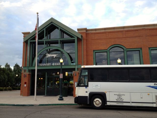
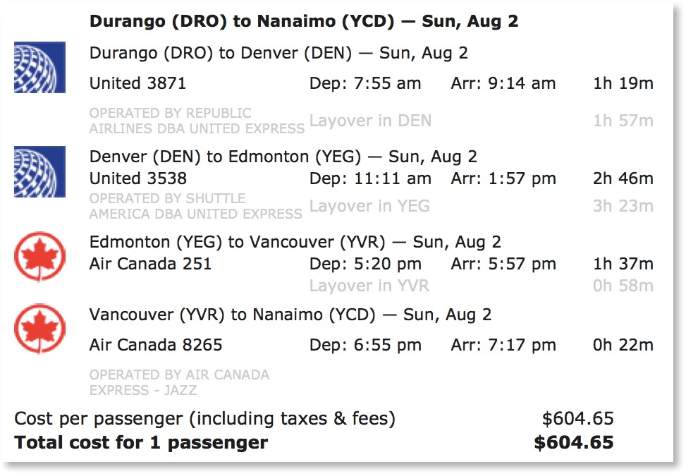 Instead, I played it SAFE and jumped on to the only long distance bus out of Durango. The 7am Roadrunner. The same bus that brought me here.
 Farewell Durango.
trip report by site editor Rick McCharles
day 1 | day 2 | day 3 | day 4 | info page
Straight Creek – seasonal Spring
No rain last night.  I hadn’t needed to put the fly on the tent!
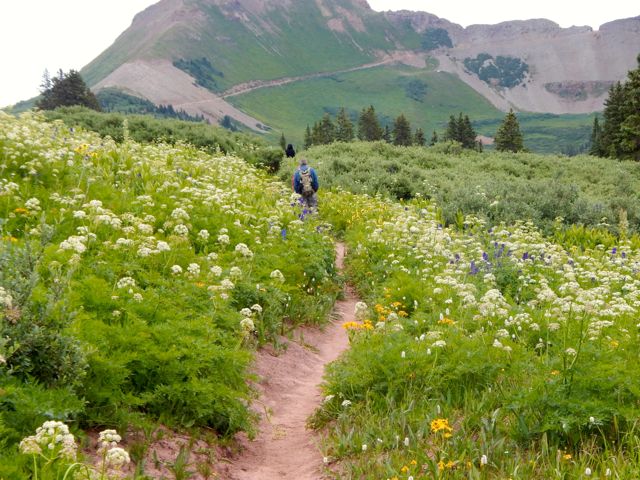
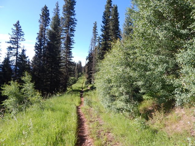
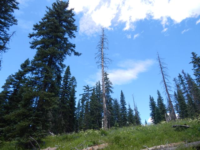
Mixed forest hiking. Often the Colorado Trail here traverses high on the mountain between alpine meadows and scattered trees. 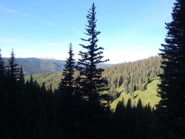
 With more good weather, I’d planned to push hard again and hike perhaps 26mi to Taylor Lake. Otherwise I’d need to stop before the last available water at around 20 miles.
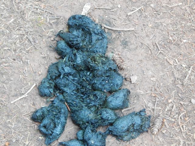
  I met an older couple from Nebraska riding the Continental Divide over a number of years. They’d camped near the first serious bear scat I’d seen in Colorado.
 Water is short on this high, ridge walking section. Trail angels had left this behind (empty) …
 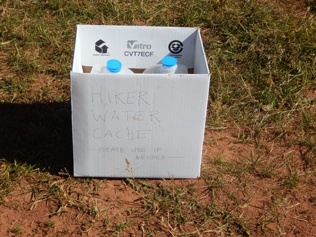 … and somebody up day biking left this.
 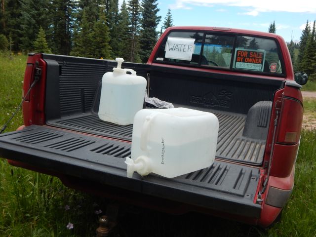 At many downhill fallen logs, I took a short rest.
  One of the few complaints I have about this trail is road walking. Old mining and logging roads are everywhere.
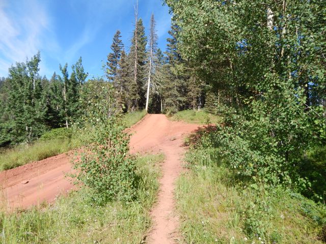
 There are very few motor vehicles, but I’d be happier if they’d route actual trail to avoid them completely.
Signage is quite good. But it’s possible to get lost for short periods of time. Some hiker had taken the time to post this helpful note. 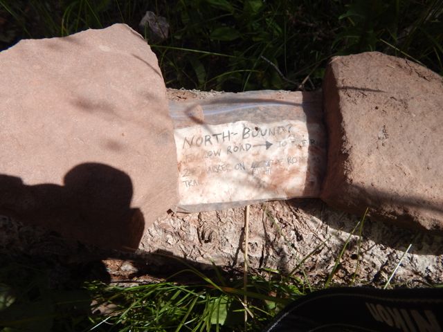 The best sections have open views for long periods.
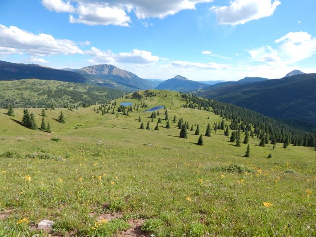
 A lovely day to be walking in the mountains.

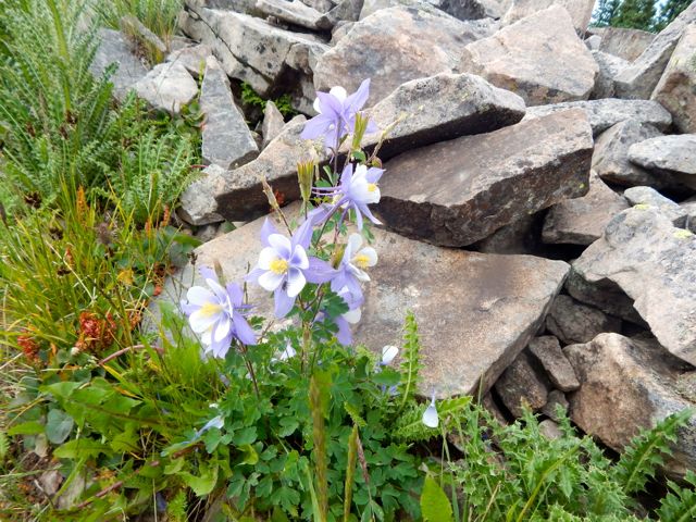
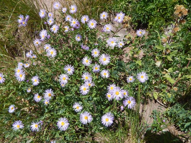
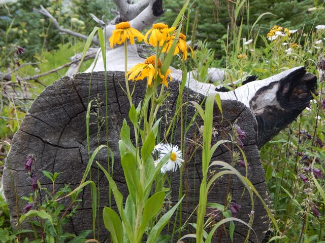
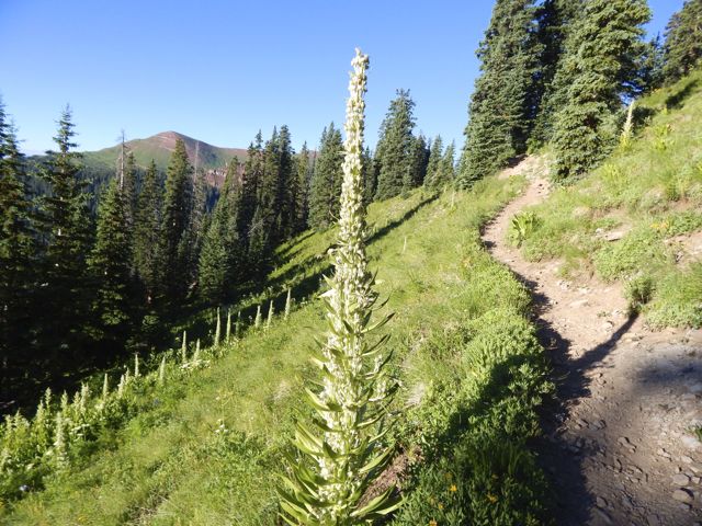
 Wildflowers a constant delight.
 These guys are camped here with motor vehicles.
 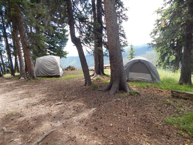 As feared, the skies darkened above the high, exposed ridge I hoped to cross. There’s not much trouble with bears here. But lightning kills hikers every year.
 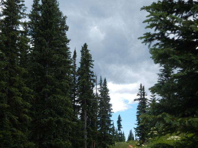 When it started to rain about 4pm, I decided to give up my attempt to make it to Taylor Lake.
 That decision was probably for the best as shinsplints (?) in one leg started to act up. (An old gymnastics injury from my youth.) I’d been pushing too hard with too heavy a pack, I guess.
This would delay my return to Durango by a day. But no big deal. I’d no plane to catch.
Charcoal I’d found on the trail wasn’t actually all that much help getting my fire going. So I cheated with my camp stove. 🙂

 more high resolution photos of day 3
trip report by site editor Rick McCharles
day 1 | day 2 | day 3 | day 4 | info page
Lime Creek – Straight Creek
Good morning. Blue sky. 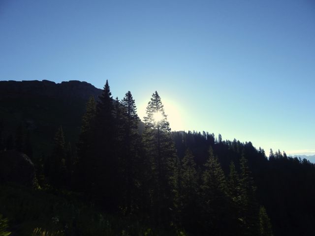
 Life is great in the Rockies when the weather is clear.
 This marmot seemed to be questioning my good mood. What does he know?
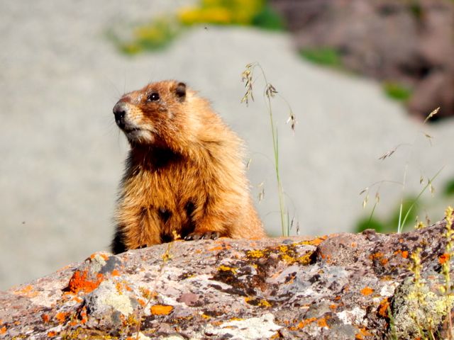 The wildflowers are fantastic in July.
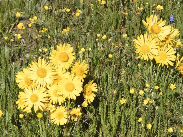
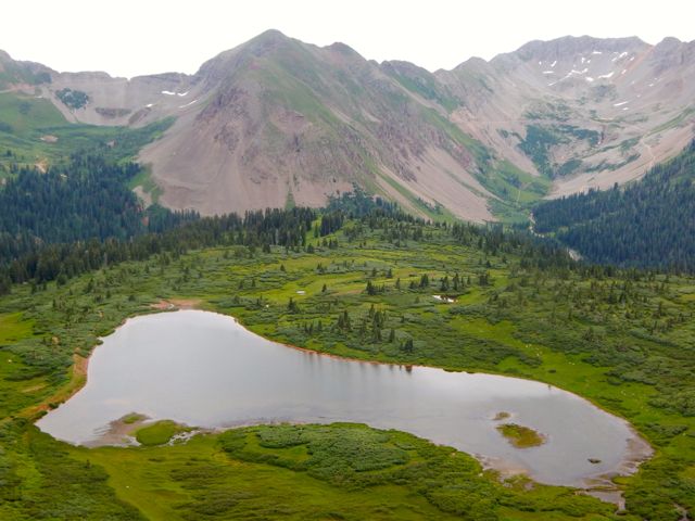
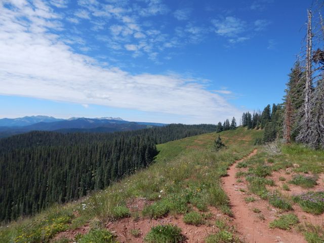
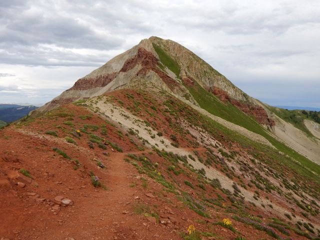
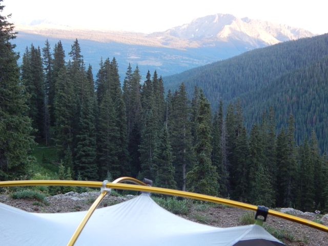
 Vistas wide open. Much of this hike is above the treeline.
 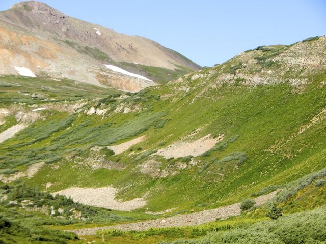 Clear mountain streams burble.
 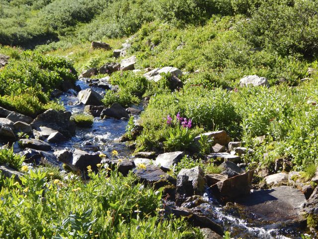 There’s a little bit of snow left on north facing slopes. But not much.
 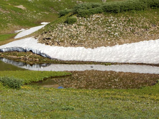 These ladies had an ideal campsite under the full moon. They were hiking about 10 miles / day. No rush.
 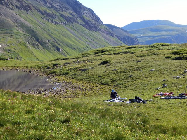 I was one happy hiker, myself.
 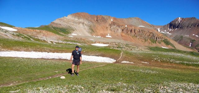 I snacked on raisin min-bagels and extra sharp cheddar cheese.
 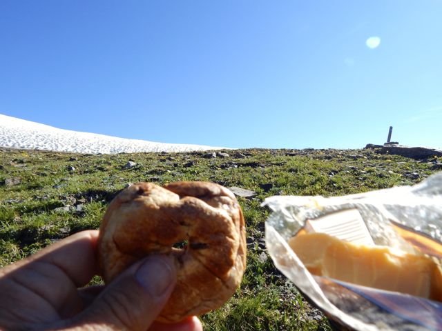 Lovin’ it.
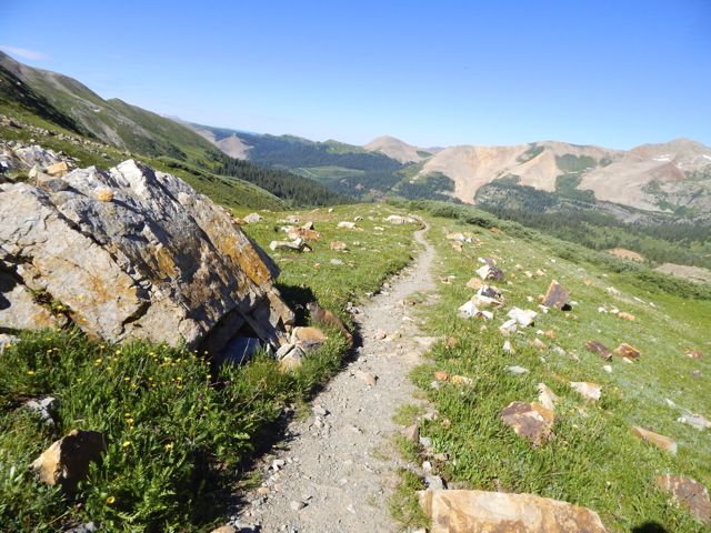
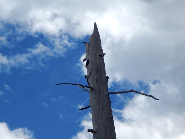
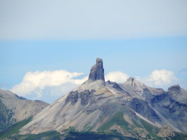
 Here’s the weirdest geological anomaly.
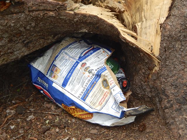
On the downside you must share this paradise with car campers.
 One group couldn’t be bothered to drive out their trash. 😦
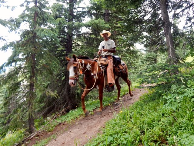
 Horseback travellers are cool, though.
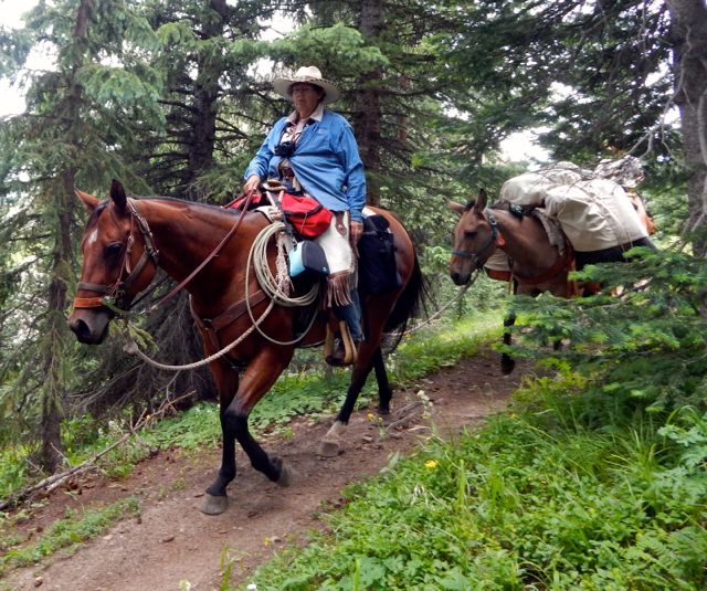
 As usual, the skies darkened in the afternoon.
 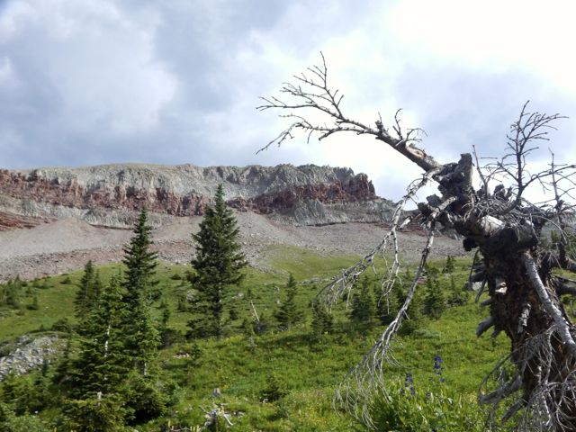 I wanted to cross Blackhawk Pass before stopping for the day.
 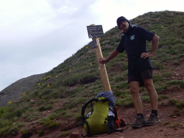 Here it is … I thought at the time.
 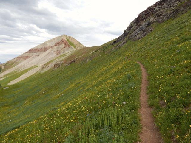 Nope. The real Blackhawk Pass (11,985ft) was far, far more challenging. I wasn’t sure I’d actually make it before the weather closed on me.

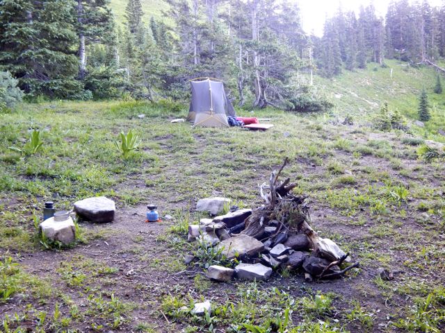
 When I finally crossed and found water, there was no campsite. I went off-trail to the creek and set up my tent on the upslope side of a large tree, one of the few possible places to set up on a steep slope.
 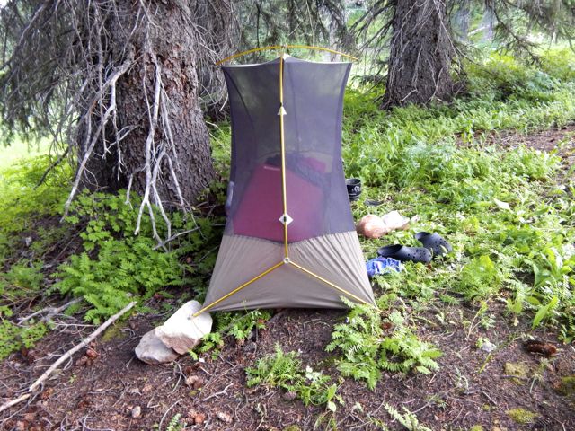 It was fairly flat … after I propped up one corner on rocks.
  more high resolution photos of day 2
trip report by site editor Rick McCharles
day 1 | day 2 | day 3 | day 4 | info page
Durango – Silverton – Molas Pass – Lime Creek
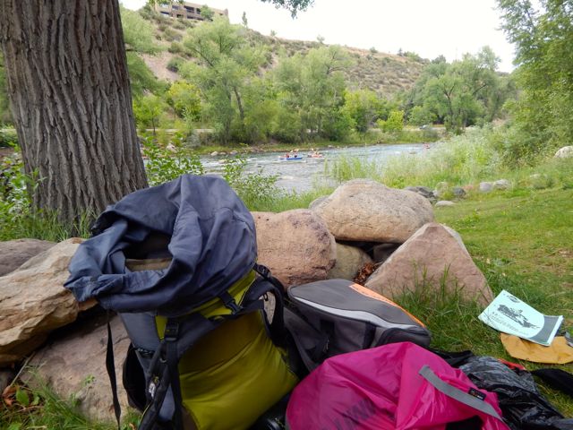
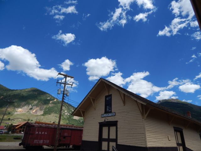
Arrived Durango, Colorado (pop. 18,000) by Roadrunner, the only long distance bus in and out of town. My plan was to take the train to Silverton. Hike back.
 Many had recommended the very LAST section of the 500 mile Colorado Trail – the San Juan’s – as the best part. 🙂
An excellent hostel having closed a couple of years ago, the cheapest room I could find was US$120. (This tourist trap is expensive during high season.)
Therefore I would sleep rough.
I found an excellent campsite hidden along the edge of the river in a Park currently under construction. Slept well in my tent.
I was using McDonald’s WiFi by 6am next morning.
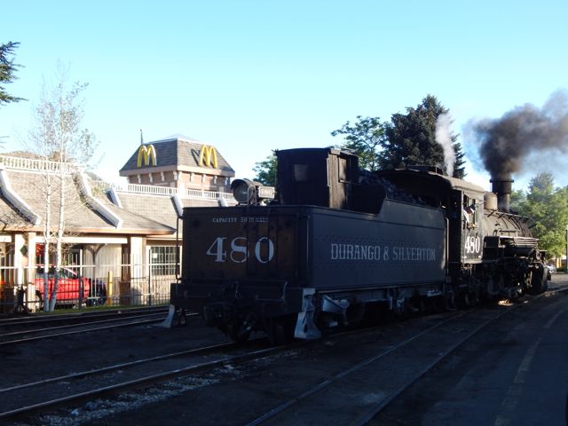 The ticket office for the Silverton train opened at 7am. Though officially “full”, one of the ticket officers managed to squeeze me on to the 8am train.
Problem. I had planned on taking the 9:30am train. Where would I store the gear I didn’t want to carry on the hike? In the 20min I had available before boarding?
No lockers at the train station. No lockers at the transit station. 😦
I ended up stashing a black garbage bag in bushes adjacent to the nearest grocery store. Hidden in plain sight in the Albertson’s parking lot.
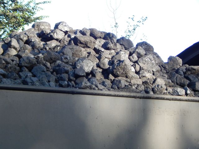
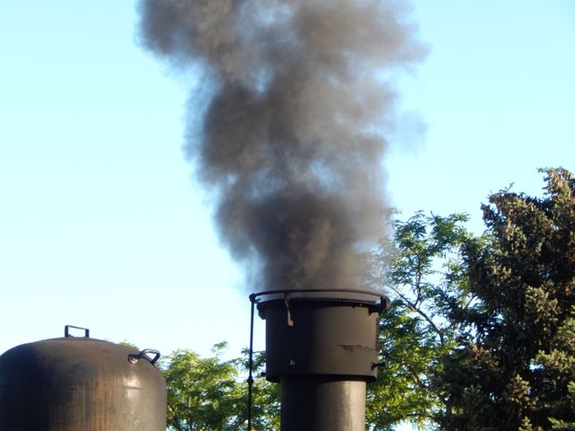
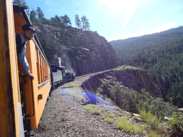
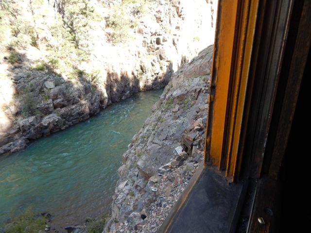
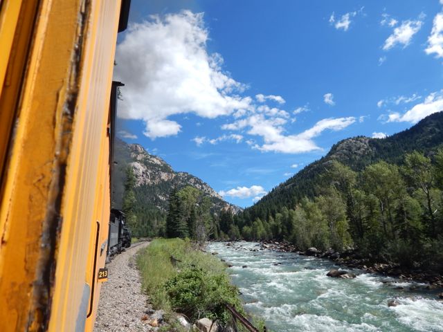
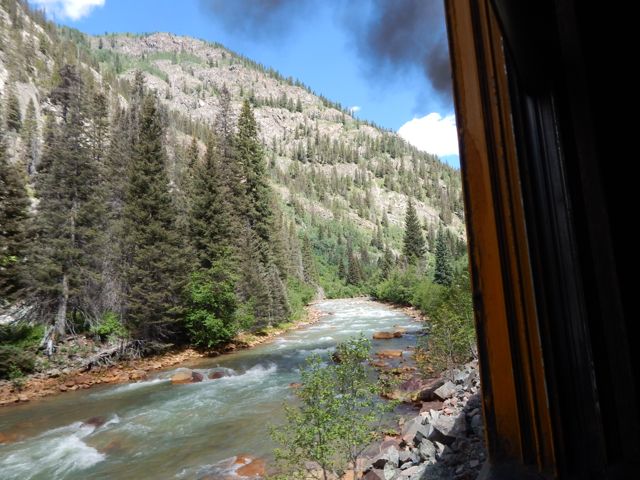
The Durango & Silverton Narrow Gauge Railroad … operates 45.2 miles (72.7 km) of track between Durango and Silverton …
The steam-powered locomotives used today on the Durango & Silverton Narrow Gauge Railroad were built during the 1920s. …
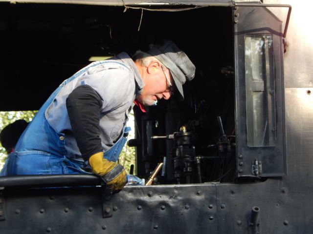 Plenty of hikers use the train to get up into the San Juan’s.
 One way scheduled trains take 3½ hours …
Elk Park is the last siding, wye, and flagstop before Silverton. Not as popular as Needleton for hikers, Elk Park is where the railroad crosses the Colorado Trail …

I stayed on the train at both Needleton and Elk Park. Rode it all the way to Silverton.
 One essential task left – laundry.
The campground is happy to have hikers stop by for a wash and dry. (Or a $7 shower.)
For lunch I hit the southern Barbecue joint – Thee Pits Again.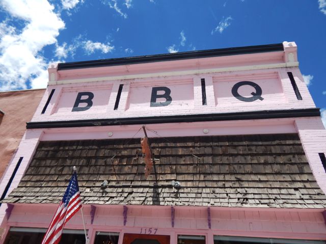 Pork ribs, baked beans, cornbread … and very British bread pudding for desert. My last restaurant meal before hitting the trail.
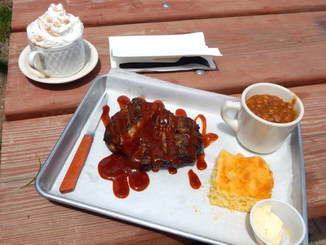 I wandered the town while my togs were drying.
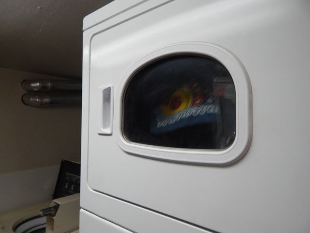
 Getting out of Silverton was another blunder. I started hitchhiking … in the wrong direction. A local gent drove me up to the correct highway and to the best place to hitch. I had a ride within minutes. Hikers are hitching back and forth the 7 miles to Molas Pass all the time.
Arriving at the pass I met a European who was nearly finished the 500 mile Colorado Trail. But he needed to resupply in Silverton, staying at the hostel there one night. Oddly, he got a 7 mile ride with this truck driver. Some scam was in the works, I suspected. 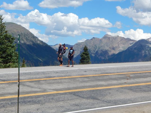
 Actually, Silverton has no grocery store. But does have a gear shop (fuel) and plenty of restaurants.
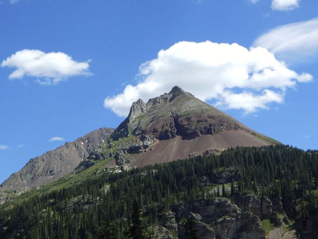
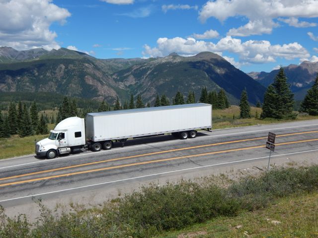
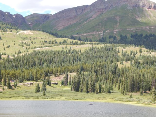
The vista looked great from Molas. Here I’m looking back at the section prior the one I was about to do.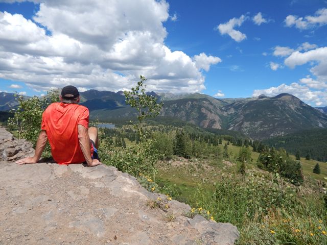 Across the highway. Off and up.
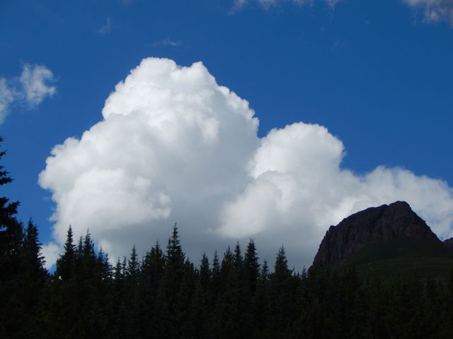 Gorgeous scenery. Though my pack felt heavy. I should have left more STUFF hidden in a garbage bag.
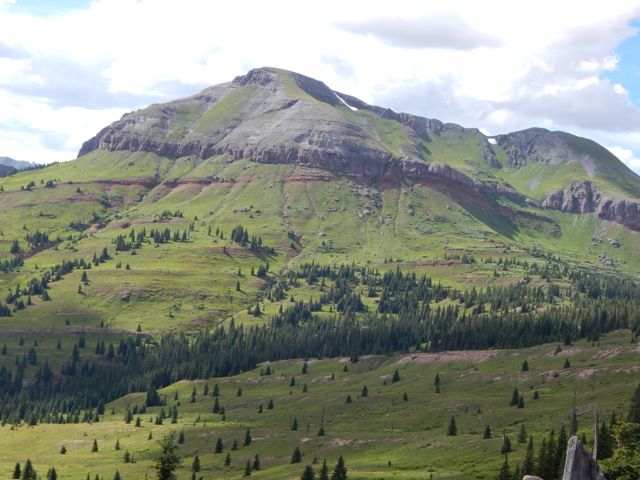
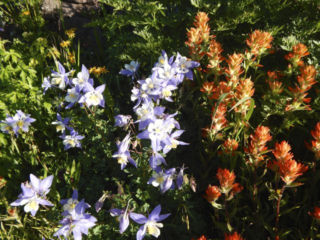
 The wild flowers are shoulder high in places.
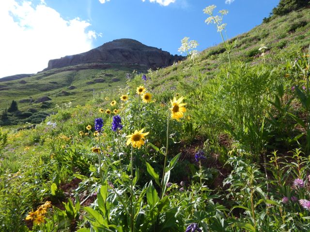 I set up in a lovely spot.
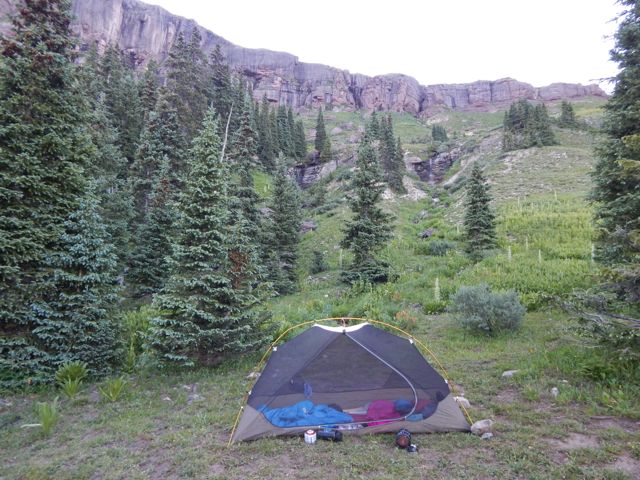
 Failed to get the campfire going this time. (Tried to skimp on kindling.)
The Colorado Trail is mostly dispersed camping. Put up your tent anywhere you like.
Clear skies. Nearly a full moon.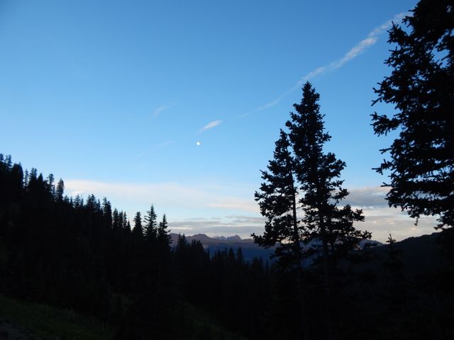 more high resolution photos of day 1


