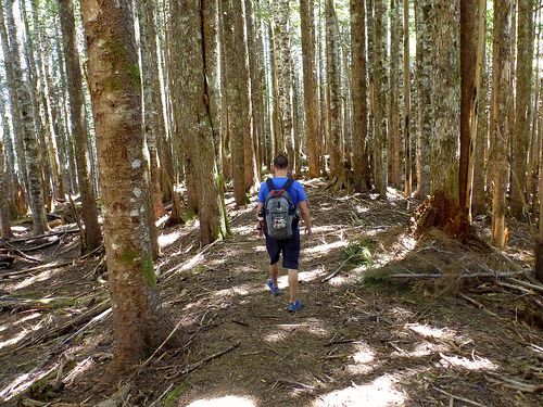
Dave Adlard, Jeni McNeil and crew enjoyed a non-rainy summit.


Best hikes, treks, tramps in the world.
Dave Adlard, Jeni McNeil and crew enjoyed a non-rainy summit.
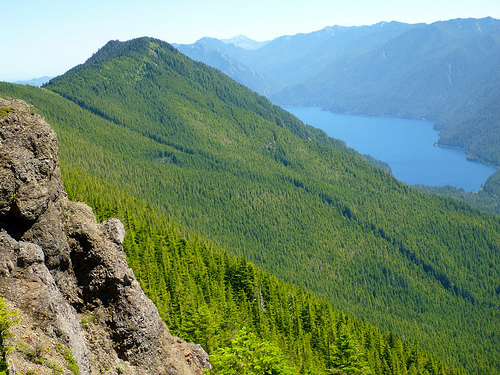
The Manaslu Trek (or Manaslu Circuit Trek) is a 14-day tea-house trek which circumnavigates the 8th highest peak in the world (8,156 m). …
The trek is much easier than it used to be with greatly improved trails along the Budi Gandaki river gorge. In terms of difficulty, it is comparable with the Annapurna Circuit Trek or Everest Base Camp trek. Its highlight is undoubtedly the spectacular unhindered views of Manaslu.
Just over 2,000 people complete the trek per year with more than half visiting in October. This is substantially fewer than visiting Annapurna, Everest or Langtang. There are two main reason for the fewer numbers.
The first reason is that the trek used to require camping, as there were too few tea-houses …
The second reason is that the trek has restricted area status. This means it requires a special permit … that the group have two or more members and that a registered trekking guide accompanies the group.
I’d like the option to trek alone. Therefore, Manaslu is probably out … though I’ll double check if and when I go to Nepal in November.
Some hikers with permits manage to do it independently.

The best website I’ve found is Manaslu Circuit Trek.
Click PLAY or watch it on YouTube.
… So why is Krause, a student at the University of California, Davis, subjecting himself to these swarms of monstrous, hungry bugs in Alaska?
He’s actually studying how birds react to seasons. In this case, he’s looking at how climate change could affect when spring arrives at the North Slope and how that will affect the birds that migrate there. …
Luckily, this year’s mosquito season might be on its last legs. Alaska.org reports that mosquitoes are “only really an issue for Alaska visitors from the second week in June to the last week in July.
See how Koby Kirk defended himself from flying vampires with his Buff.
And check midges plastered on Brad “MrFox” White’s vehicle in Oregon. Yeesh.
Nanda Devi (Hindi: नन्दा देवी पर्वत) is the second highest mountain in India and the highest entirely within the country …
Currently, Nanda Devi forms the core of the Nanda Devi Biosphere Reserve (which includes Nanda Devi National Park), declared by the Indian government in 1982. In 1988, Nanda Devi National Park was declared a UNESCO World Heritage Site …
So far I’m liking the Milam Glacier & Nandi Devi trek (as described in Lonely Planet) with possible 3 day sidetrip to East Base Camp.

If things worked out perfectly, I’d take the challenging alternative route back via the Ralam Dhura.
Biggest logistical challenge is getting to the trailhead at Munsyari. It’s about 12 hours by bus to Bageshwar. And 3 hours from there to Almora.
It’s one of the most expensive places in the Himalaya to hire help, as well.
MIGHT be a good idea to sign on with a trekking group for Nandi Devi, I’m thinking.
Leave a comment if you’ve been there. 🙂
I bought two books:
Cicerone Trekking in LadakhLonely Planet Trekking in the Indian Himalaya
Looks fantastic.
Mid-October I’ll fly Delhi Leh 3524 metres (11,562 ft) in Ladahk. Spend some days acclimatizing to altitude.

Most likely start with the Markha Valley Trek, carrying my own food, tent and pack.
Any advice for me?
… Leave a comment.
*****
Now the BAD news … 😦
The end of guide books? Lonely Planet lays off one-third of editorial staff

Venerable travel guide brand Lonely Planet, which has bounced from owner to owner in recent years, just announced some bad news: They’re slashing staff on three continents and getting rid of much of their content staff. Almost 100 jobs were slashed in Melbourne, Australia alone, and additional layoffs were made at Lonely Planet’s London and Oakland offices. …
Update: According to an email from a Lonely Planet publicist, “Print will continue to be part of the mix” for the company.
I was bamboozled. … Sorry about that.
original post:
Heavens Trail – A
place in Irelandwhereevery two years the stars line upwith this path
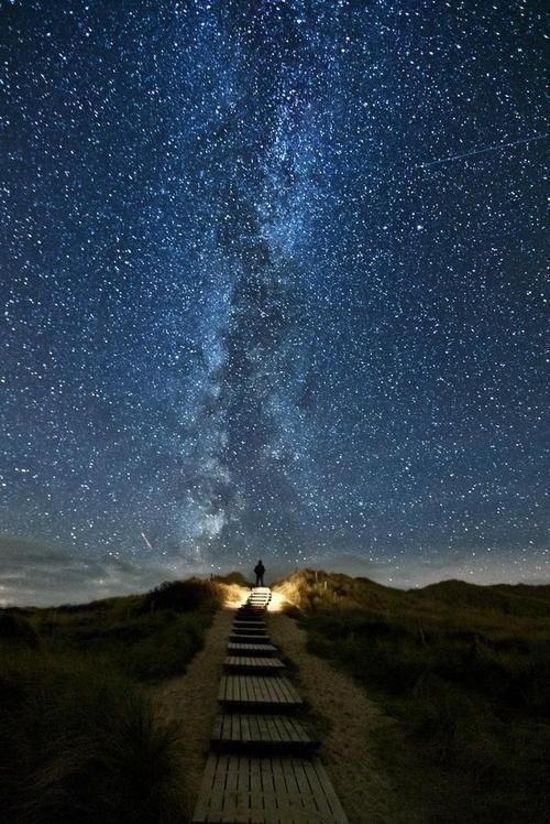
Photographer Thomas Zimmer tells the true story:
… It was at the west coast of the island Sylt, North Sea. …
That’s Germany, not Ireland.
I walked over the dunes and took the wooden stairs down. I took a last look back. An amazing view showed up. The Milky Way was right above the stairs. But I was so exhausted, hungry and cold. I almost wanted to give up, but then I made a last effort, and tried a final shot.
It looked good, but something was missing there. I first tried to light up the stairs with the flashlight. Looked better, but not what I wanted. It needed a human being in the image. Unfortunately, nobody was there for miles except me. So i set up the self timer, fired it and run up the stairs with the flashlight on. On top, I shut off the light and tried to stand still for 30 seconds, the exposure time. …
Thanks Dana.
When Swiss photographer Gus Petro took a trip to the United States last year, he was struck by the juxtaposition of “emptiness and density.” …

See more like that – This Is What It Would Look Like If You Dropped Manhattan Into the Grand Canyon
trip report by site editor Rick McCharles
In Day Hiking Olympic Peninsula (2007) by Romano, one adventure caught my eye:
Mount Muller
13mi loop
3200ft elevation gain

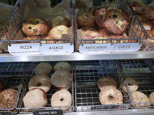
En route to the (easy to find) trailhead we stopped at the excellent Olympic Bagel in Port Angeles.
13 miles … how tough could it be?
… a low-elevation peak located in the northern region of the Olympic Mountains. … Clallam County …
Mount Muller is, however, the county’s point of greatest prominence (also known as the COGPP) and the county’s only peak with over 2000′ of prominence. …
… If the Mount Muller summit is the only goal, it can be reached in 5.3 miles from the west end of the trail system, or it can be reached in 7.5 miles from the east end of the trail system.
Many trail users opt to hike the entire 12.8-mile loop. The mountain is accessible year-round, and the Mount Muller Trail is open to non-motorized use only (i.e. hikers, bicyclists, equestrians, snowshoers).
… The ridgetop of the peak is primarily comprised of thick evergreen forests on its west side and rocky outcrops interspersed with forests on its east side …
… views from the mountaintop can be spectacular. Mount Olympus, Lake Crescent, the Strait of Juan de Fuca, Sol Duc Valley, among other notable areas …
A recreational use pass is required for each vehicle parking at/near the Mount Muller Trailhead.
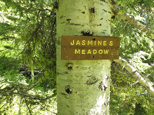
This hike was a labour of love for Forest Service employee Molly Erickson. She and a crew of friends designed and built the trail, naming many of the landmarks after themselves. 🙂
The wildflowers are GREAT. I was surprised to see beargrass this far west.
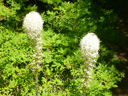
Turns out it’s …
… found mostly in western North America from British Columbia south to California and east to Wyoming, in subalpine meadows and coastal mountains, and also on low ground in the California coastal fog belt. It is common on the Olympic Peninsula and in the Cascades, northern Sierra Nevada and Rockies. …
After the loop, James and I enjoyed a soak in nearby Sol Duc Hot Springs.
related – 6min horseback trip VIDEO
trip report by site editor Rick McCharles
The incredibly GREAT July weather continues. James and I headed directly up the Deer Park road in Olympic National Park.
We’d heard automobile horror stories … but with good weather in July, most any vehicle could climb the 5400ft from sea level to treeline.

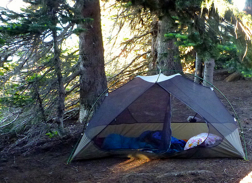
The excellent and unique tenting campground was full, not surprisingly.
Rangers had no wood — budget cuts I assume — but many were able to enjoy a campfire.

The 7.45mi Deer Park Trail to Obstruction was still … obstructed. Ice axes were recommended. So — instead — James and I took day hikes in every direction instead.

And it’s lovely in every direction.
We did the obligatory 0.5mi Rainshadow Trail to the top of Blue Mountain. Touristy. But the fantastic vistas made it all worth while.
From there we dashed out on seldom used trail onto two obvious adjacent ridges.

Views don’t get any better than Deer Park …

… unless you savour them from a HAMMOCK.
James Parent recommends you book a hiking holiday to Olympic National Park. 🙂

No water is available at Deer Park. Toilets are excellent. No parking “pass” is needed. You can pay on arrival for campsites, first come – first served.
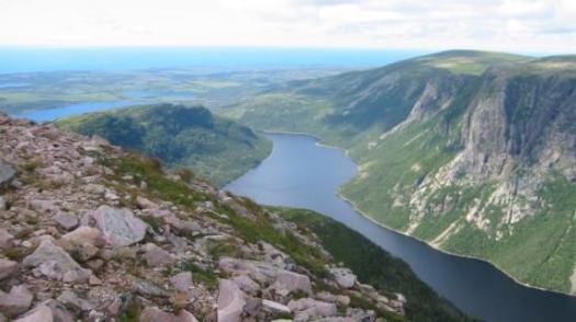
The UNESCO world heritage committee says a monitoring mission should be sent to Gros Morne National Park to assess fracking risks.
… it’s seriously concerned about plans for potential oil exploration near the site. …
CTV – Fracking risks in Gros Morne should be assessed, UNESCO says
State of Canada’s Parks:
Among the good news: a huge new park in Québec which is now eastern North America’s largest protected area and Canada’s largest provincial park!
The bad news? We’ve identified numerous emerging threats to some of our most iconic parks. The threat of oil fracking metres from Gros Morne National Park heads the list, along with ongoing concerns about federal budget cuts and inappropriate commercial developments in our national parks. Also, some provincial and territorial governments are backtracking on promises to create new parks and protected areas. …
read more from CPAWS – One step forward, two steps back for Canada’s parks: CPAWS’ 2013 State of Canada’s Parks Report