A Brilliant Monument to Mountaineering and Architecture Embedded in the Italian Alps


Best hikes, treks, tramps in the world.
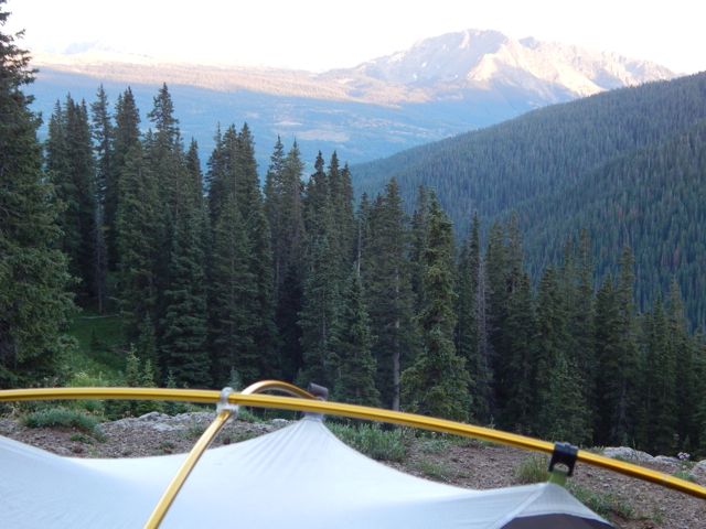
I did a lousy job packing for 2 weeks in the Colorado Rockies. In fact, I accidentally left behind at home my beloved MSR Reactor stove. 😦
I made a stop at REI to purchase a second Reactor – but they were out of stock. The best alternative available was the MiniMo.
Click PLAY or watch it on YouTube.
The MiniMo upends what we thought we knew about “personal cook systems,” the integrated stove/pot design that Jetboil pioneered in 2004. Like its predecessors, the MiniMo has lightning-fast boil times (it averaged 2 minutes and 21 seconds for 20 ounces at room temp in our controlled test) and efficient fuel consumption (expect about 9 liters of boiled water for a 3.5-ounce fuel canister). But, unlike all its predecessors, it can actually simmer …
I disliked my original Jetboil finding it dangerous. If something boiled over (as it often does) it was difficult to remove pot from flame. And your hand was scalded if you tried to turn off the flame.
But I have to admit, the MiniMo is a huge improvement. Almost as good as the Reactor.
It’s compact with many nifty features.
Outside’s Gear Guy reviewed it – What’s the Best Lightweight Backpacking Stove?
I wonder how long the auto-igniter will continue to work. Piezo ignition has problems above 8,000 feet.
It’s not easy to use a lighter on the MiniMo.
And it truly is lousy in the wind.
But as of now I’ll pack the MiniMo in preference to my old Reactor. Let’s see how long that lasts. 🙂
related – Adventure Tested: Jetboil MiniMo Backpacking Stove
trip report by site editor Rick McCharles
day 1 | day 2 | day 3 | day 4 | info page
seasonal Spring – Kennebec trailhead – Durango
The morning was overcast and gloomy for the first time on the hike. 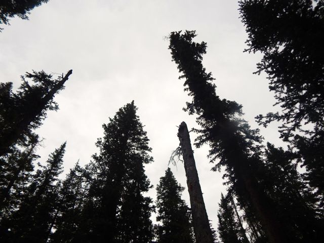 I’d hoped the pain in my leg would have “recovered” by morning.
It had not. 😦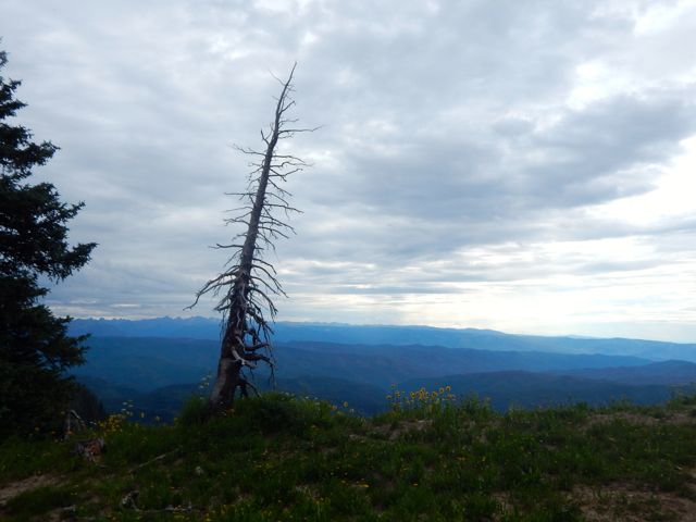 My closest escape route was Kennebec trailhead, 8 miles onward.
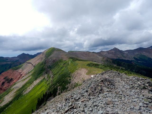
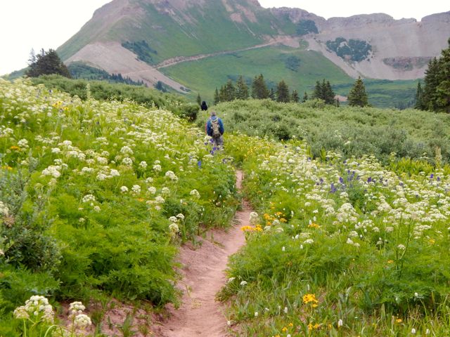
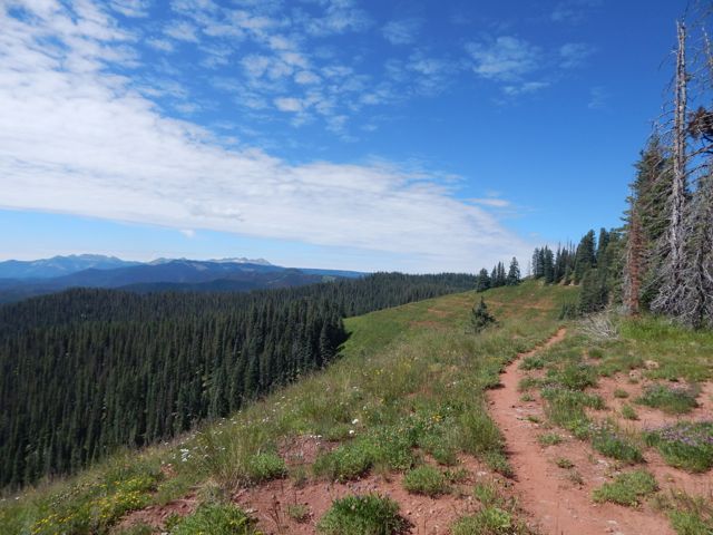
Would there be any vehicles there? Could I catch a ride back to Durango, skipping the last 20.5 miles?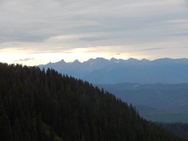 But when I hit the Highline Trail section I couldn’t stop grinning.
 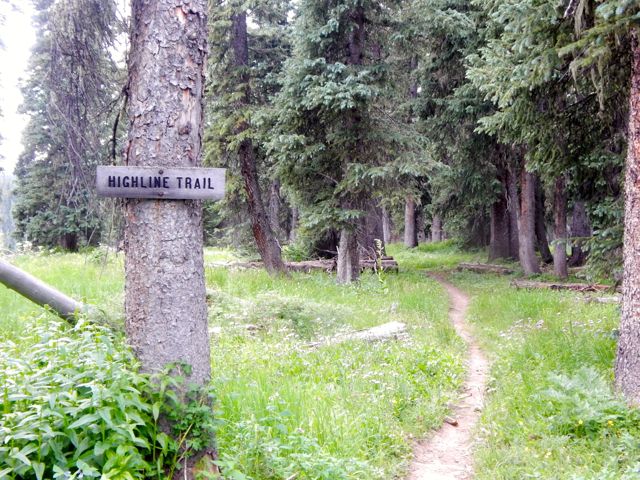 It came clear to me why these are some of the highlight miles of the entire Colorado Trail. The Indian Trail Ridge section of the Highline is fantastic.
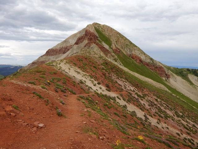
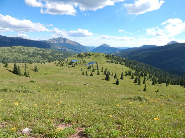
Photos cannot capture the wide and unique vista. But I’ll post some anyway. 🙂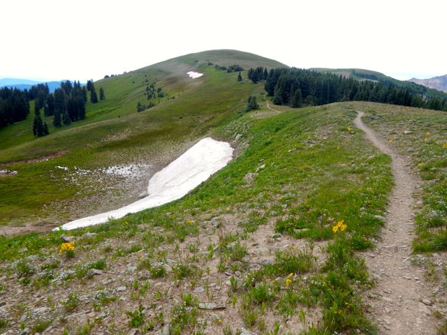
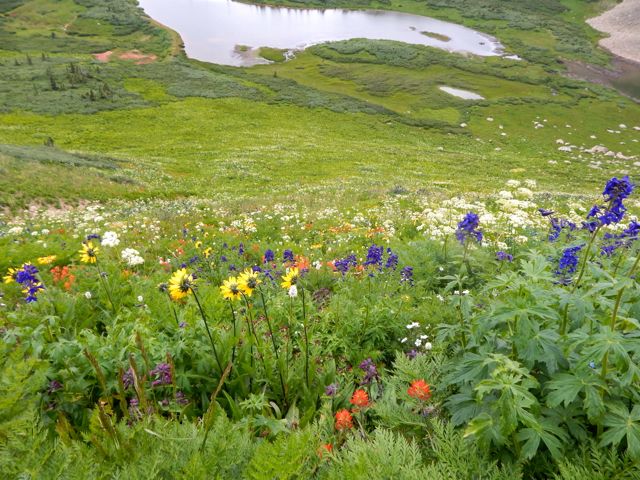
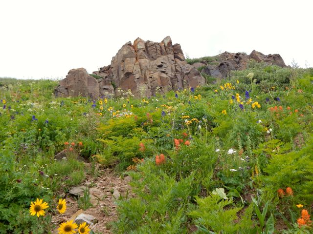
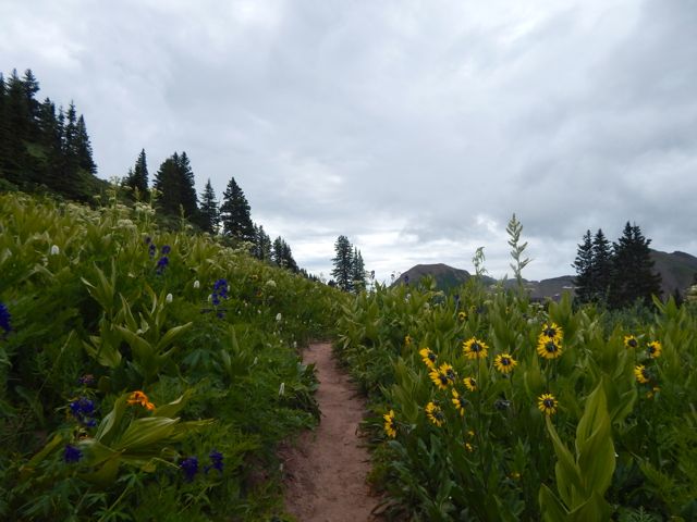
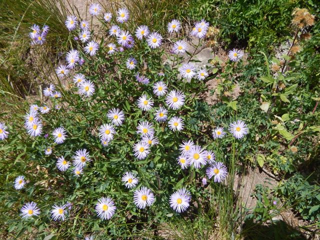
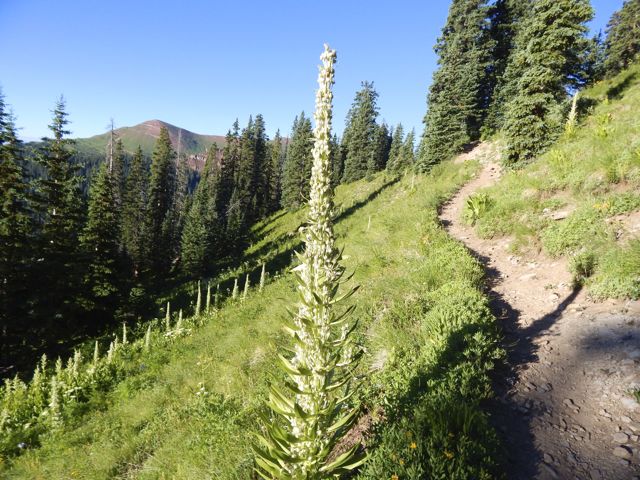
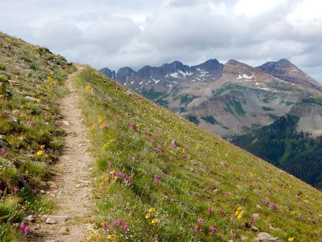 The wildflowers are reputedly better here in July than anywhere else on the Colorado Trail.
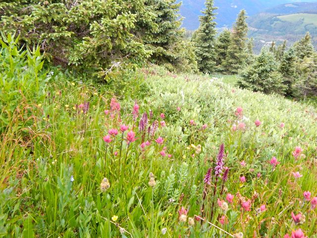
I was thinking to use this as my OK Cupid profile pic. 🙂 Ladies? 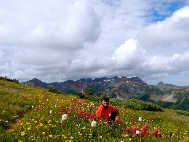 Bad news. I was moving much more slowly than usual … and the big, bad thunder clouds started piling up atop the highest point on the trail.
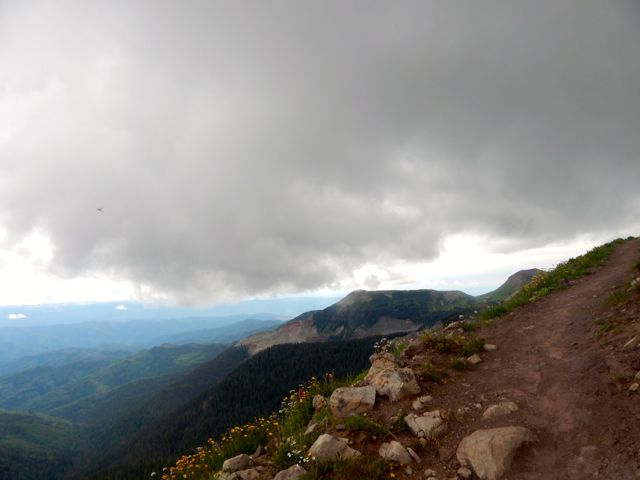
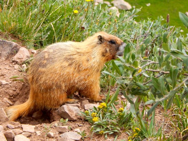
 Marmots can hide in the rocks if the thunder and lightning starts. But I’d be very exposed.
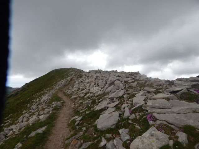
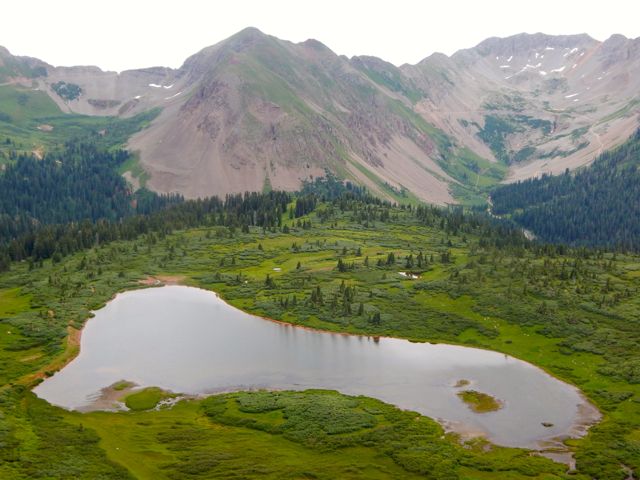
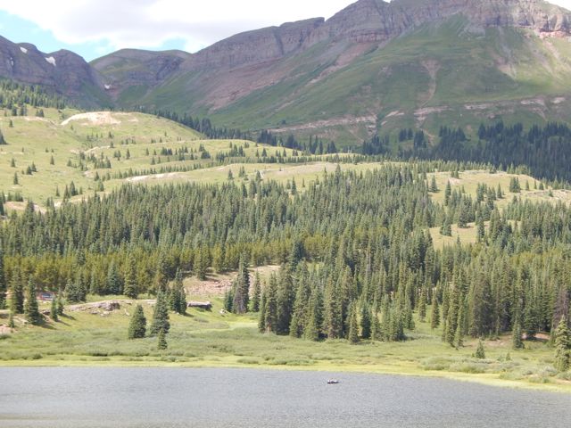
 I shuffled on and managed to drop down to Taylor Lake and the Kennebec trailhead before the rain started.
 I was relieved to get off the heights. And into even thicker wild flowers.
 The first folks I met – a family originally from Montana – offered me a lift part way down the mountain towards Durango. They were looking to fill their pick-up truck with firewood.
 (note – At this point my camera said “batteries exhausted“. I resembled that remark. And put the camera away. My hike OVER. 51 miles total.)
I was pleased to tag along. Prepared to start working the chainsaw when a second vehicle arrived. A couple of ex-military fishermen. They’d needed to hitchhike plenty over their many different fishing trips. The guys dropped me at the Rec Center in Durango so I could shower-up and change my clothes.
 A hot shower is one of the few things I miss while hiking. This one was glorious. 🙂
A lady at the Rec Center suggested I use the rest of the facilities. After all, I’d paid full price for the day – $6!
It sounded crazy at the time, but I did end up returning in the evening for a workout in the weight room. And another long, hot shower. 🙂
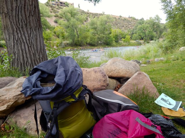
My stashed green garbage bag was exactly where I’d left it days ago. I repacked for travel, the Colorado hiking finished for 2015. (I was walking with a limp.)
 Have you ever tried to fly from one small town to another small town in another nation? On a summer long weekend? With one day notice?
DON’T!
An itinerary like this is near certain to go wrong.
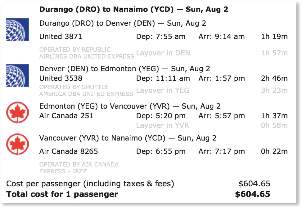 Instead, I played it SAFE and jumped on to the only long distance bus out of Durango. The 7am Roadrunner. The same bus that brought me here.
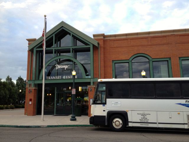
 Farewell Durango.
trip report by site editor Rick McCharles
day 1 | day 2 | day 3 | day 4 | info page
Straight Creek – seasonal Spring
No rain last night.  I hadn’t needed to put the fly on the tent!
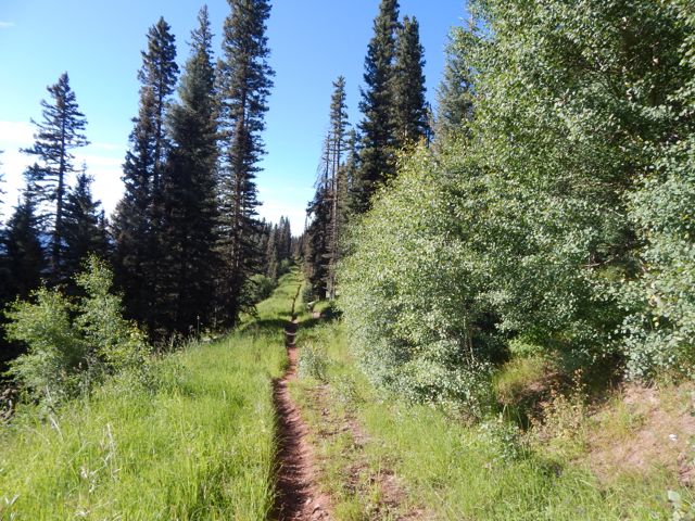
Mixed forest hiking. Often the Colorado Trail here traverses high on the mountain between alpine meadows and scattered trees. 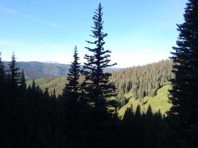
 With more good weather, I’d planned to push hard again and hike perhaps 26mi to Taylor Lake. Otherwise I’d need to stop before the last available water at around 20 miles.
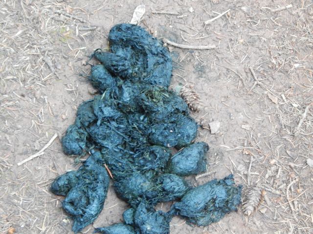
  I met an older couple from Nebraska riding the Continental Divide over a number of years. They’d camped near the first serious bear scat I’d seen in Colorado.
 Water is short on this high, ridge walking section. Trail angels had left this behind (empty) …
 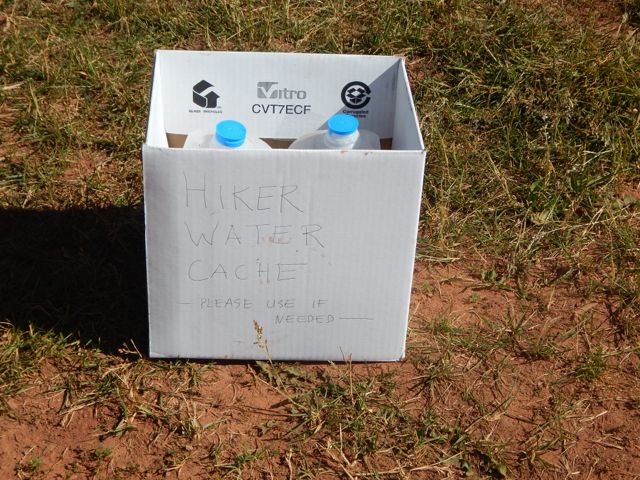 … and somebody up day biking left this.
 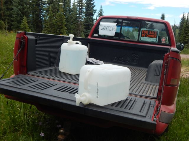 At many downhill fallen logs, I took a short rest.
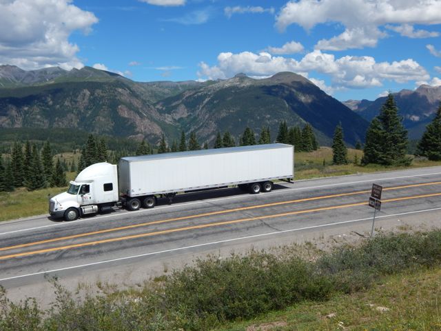
  One of the few complaints I have about this trail is road walking. Old mining and logging roads are everywhere.
 There are very few motor vehicles, but I’d be happier if they’d route actual trail to avoid them completely.
Signage is quite good. But it’s possible to get lost for short periods of time. Some hiker had taken the time to post this helpful note. 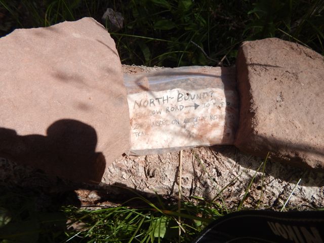 The best sections have open views for long periods.
 A lovely day to be walking in the mountains.

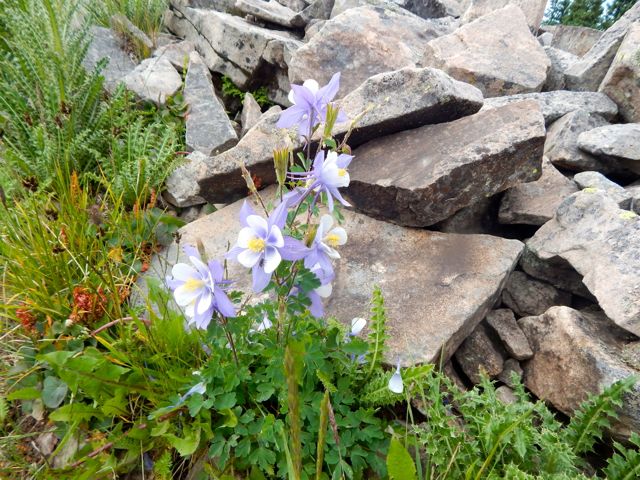
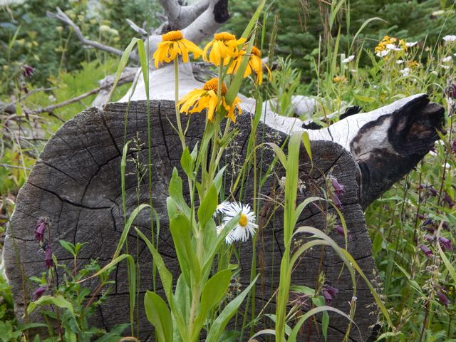
 Wildflowers a constant delight.
 These guys are camped here with motor vehicles.
 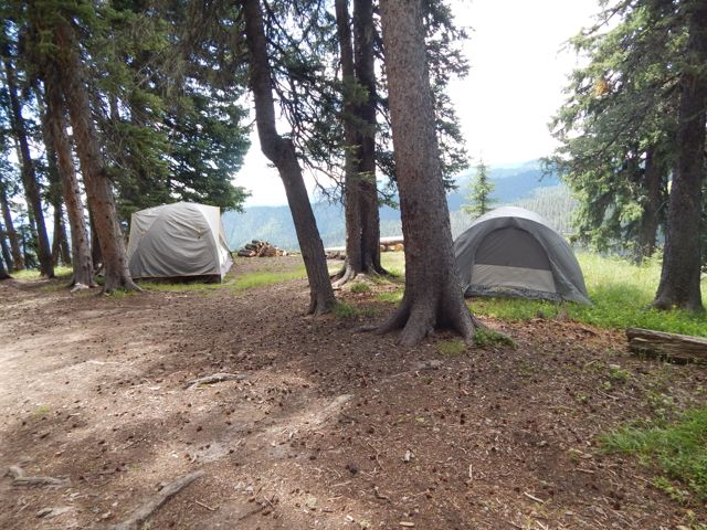 As feared, the skies darkened above the high, exposed ridge I hoped to cross. There’s not much trouble with bears here. But lightning kills hikers every year.
 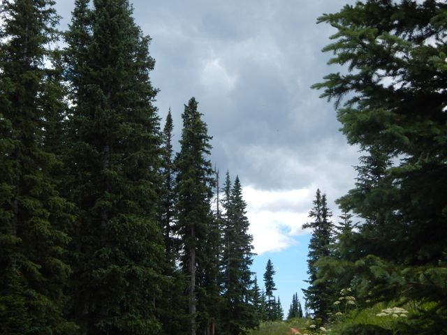 When it started to rain about 4pm, I decided to give up my attempt to make it to Taylor Lake.
 That decision was probably for the best as shinsplints (?) in one leg started to act up. (An old gymnastics injury from my youth.) I’d been pushing too hard with too heavy a pack, I guess.
This would delay my return to Durango by a day. But no big deal. I’d no plane to catch.
Charcoal I’d found on the trail wasn’t actually all that much help getting my fire going. So I cheated with my camp stove. 🙂

 more high resolution photos of day 3
trip report by site editor Rick McCharles
day 1 | day 2 | day 3 | day 4 | info page
Lime Creek – Straight Creek
Good morning. Blue sky. 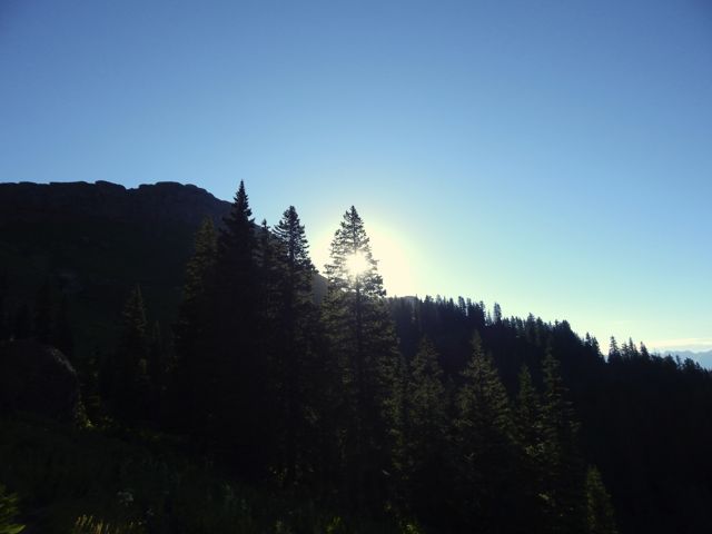
 Life is great in the Rockies when the weather is clear.
 This marmot seemed to be questioning my good mood. What does he know?
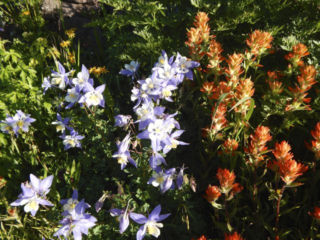
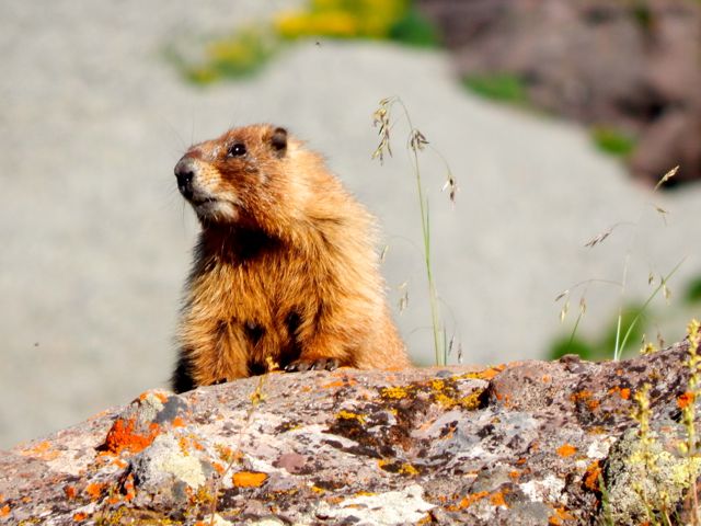 The wildflowers are fantastic in July.
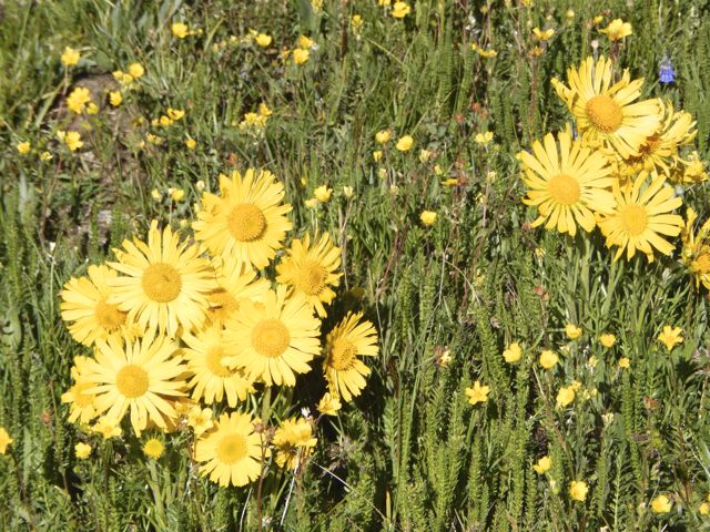
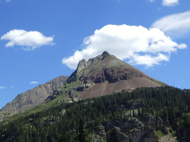
 Vistas wide open. Much of this hike is above the treeline.
 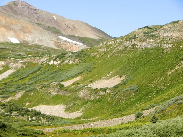 Clear mountain streams burble.
 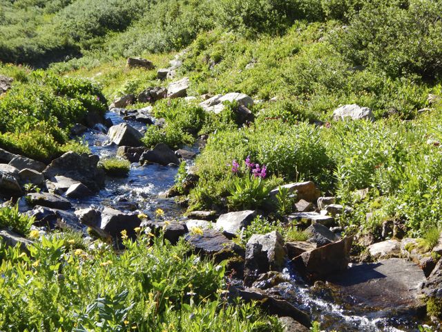 There’s a little bit of snow left on north facing slopes. But not much.
 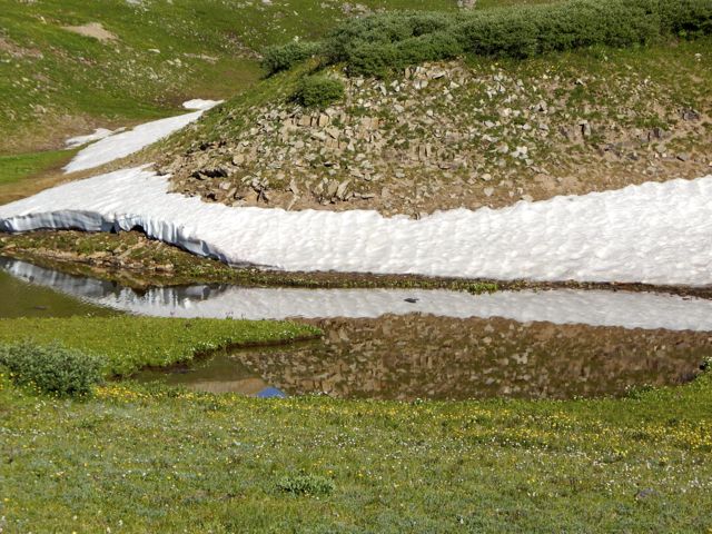 These ladies had an ideal campsite under the full moon. They were hiking about 10 miles / day. No rush.
 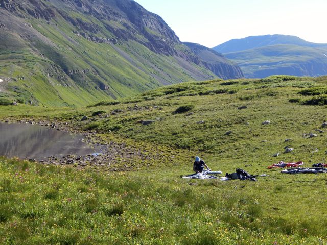 I was one happy hiker, myself.
 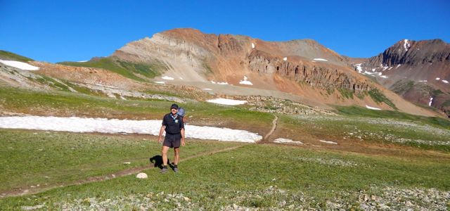 I snacked on raisin min-bagels and extra sharp cheddar cheese.
 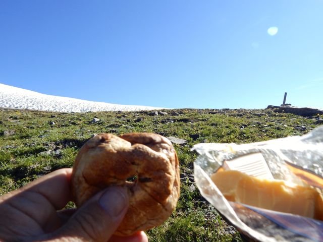 Lovin’ it.
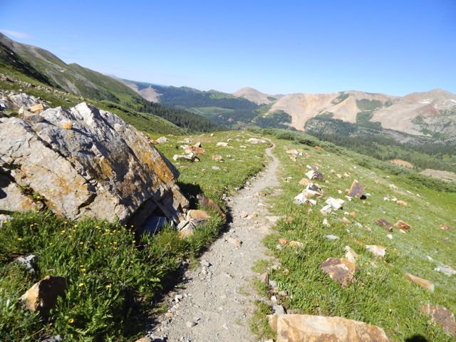
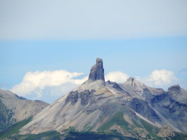
 Here’s the weirdest geological anomaly.
On the downside you must share this paradise with car campers.
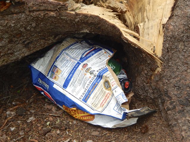
 One group couldn’t be bothered to drive out their trash. 😦
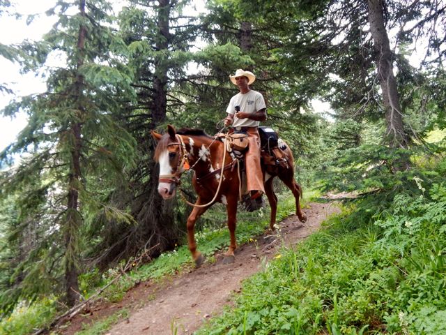
 Horseback travellers are cool, though.
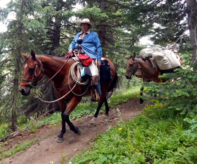
 As usual, the skies darkened in the afternoon.
 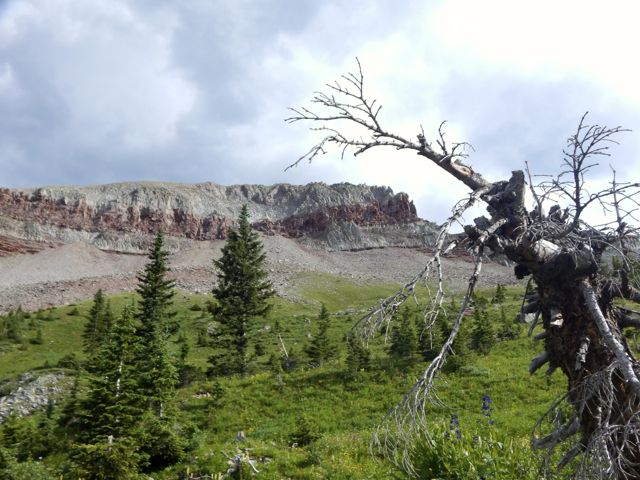 I wanted to cross Blackhawk Pass before stopping for the day.
 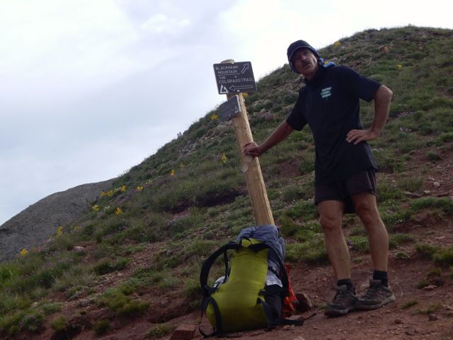 Here it is … I thought at the time.
 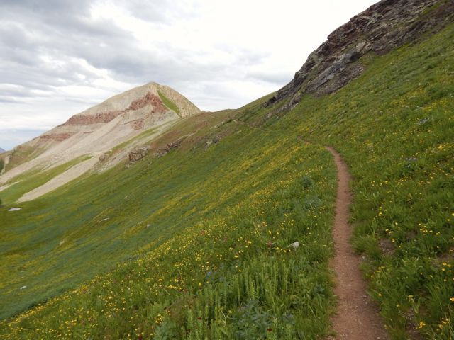 Nope. The real Blackhawk Pass (11,985ft) was far, far more challenging. I wasn’t sure I’d actually make it before the weather closed on me.

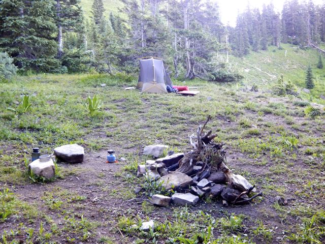
 When I finally crossed and found water, there was no campsite. I went off-trail to the creek and set up my tent on the upslope side of a large tree, one of the few possible places to set up on a steep slope.
 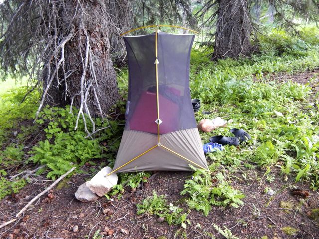 It was fairly flat … after I propped up one corner on rocks.
  more high resolution photos of day 2
trip report by site editor Rick McCharles
day 1 | day 2 | day 3 | day 4 | info page
Durango – Silverton – Molas Pass – Lime Creek
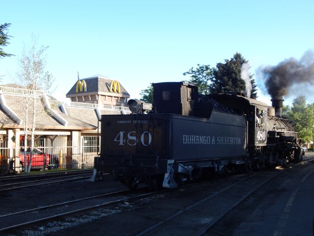
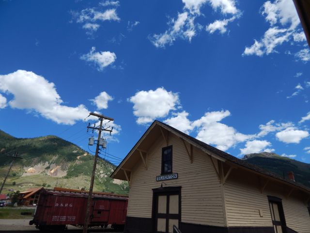
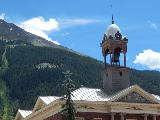
Arrived Durango, Colorado (pop. 18,000) by Roadrunner, the only long distance bus in and out of town. My plan was to take the train to Silverton. Hike back.
 Many had recommended the very LAST section of the 500 mile Colorado Trail – the San Juan’s – as the best part. 🙂
An excellent hostel having closed a couple of years ago, the cheapest room I could find was US$120. (This tourist trap is expensive during high season.)
Therefore I would sleep rough.
I found an excellent campsite hidden along the edge of the river in a Park currently under construction. Slept well in my tent.
I was using McDonald’s WiFi by 6am next morning.
 The ticket office for the Silverton train opened at 7am. Though officially “full”, one of the ticket officers managed to squeeze me on to the 8am train.
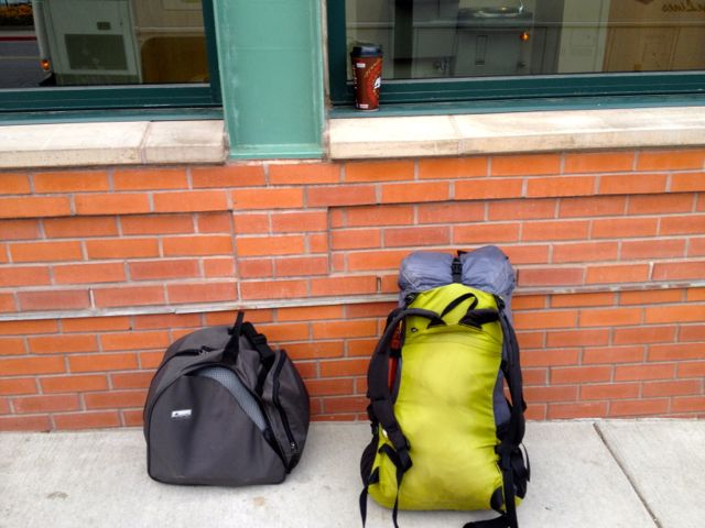
Problem. I had planned on taking the 9:30am train. Where would I store the gear I didn’t want to carry on the hike? In the 20min I had available before boarding?
No lockers at the train station. No lockers at the transit station. 😦
I ended up stashing a black garbage bag in bushes adjacent to the nearest grocery store. Hidden in plain sight in the Albertson’s parking lot.
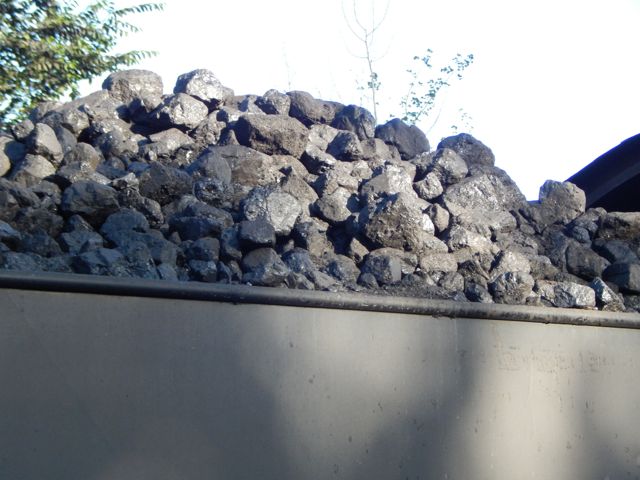
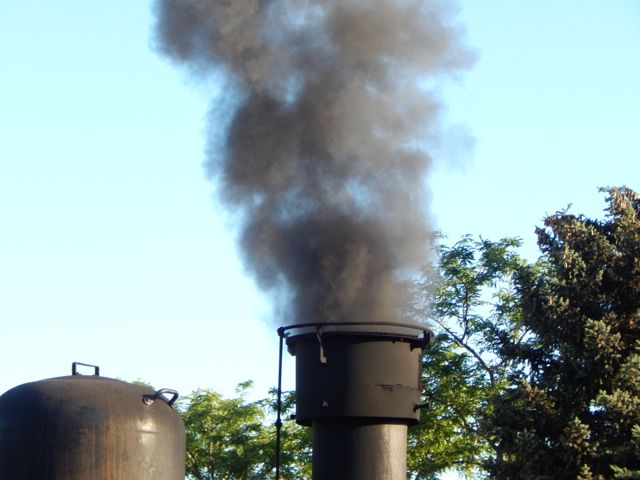
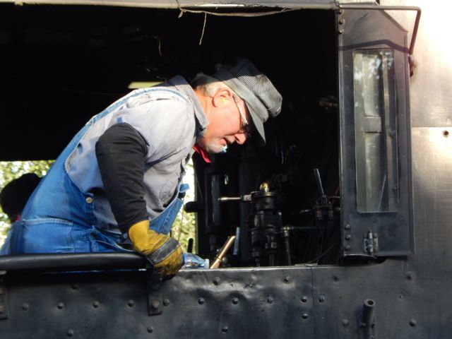
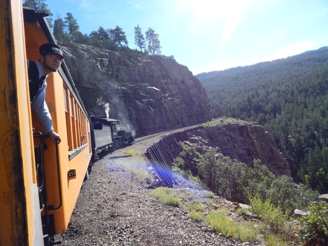
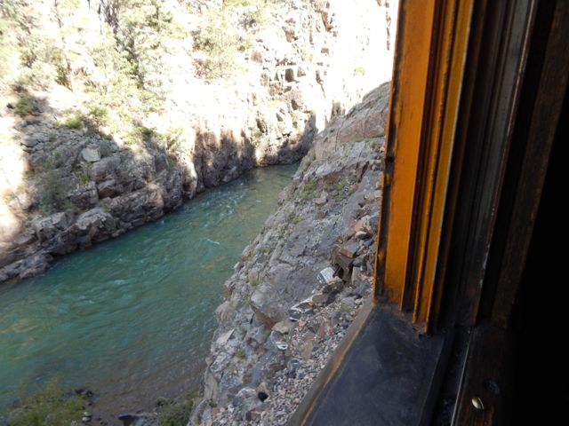
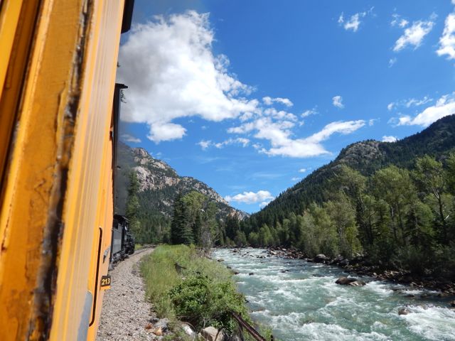
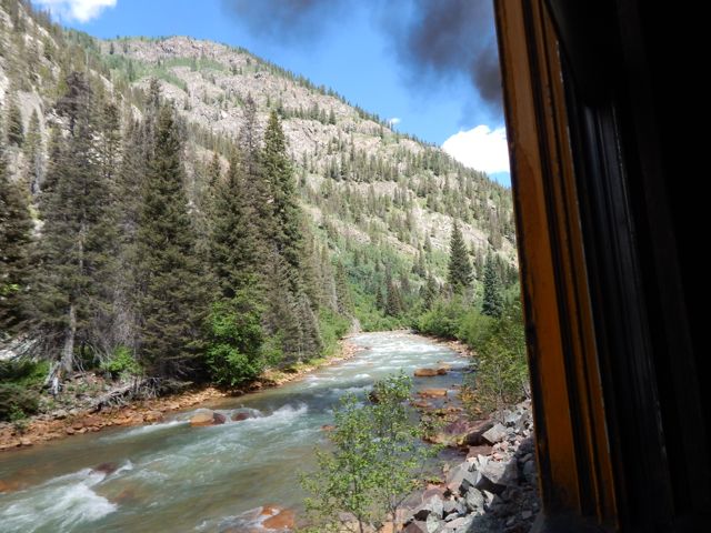
The Durango & Silverton Narrow Gauge Railroad … operates 45.2 miles (72.7 km) of track between Durango and Silverton …
The steam-powered locomotives used today on the Durango & Silverton Narrow Gauge Railroad were built during the 1920s. …
 Plenty of hikers use the train to get up into the San Juan’s.
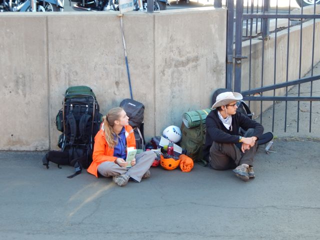 One way scheduled trains take 3½ hours …
Elk Park is the last siding, wye, and flagstop before Silverton. Not as popular as Needleton for hikers, Elk Park is where the railroad crosses the Colorado Trail …

I stayed on the train at both Needleton and Elk Park. Rode it all the way to Silverton.
 One essential task left – laundry.
The campground is happy to have hikers stop by for a wash and dry. (Or a $7 shower.)
For lunch I hit the southern Barbecue joint – Thee Pits Again.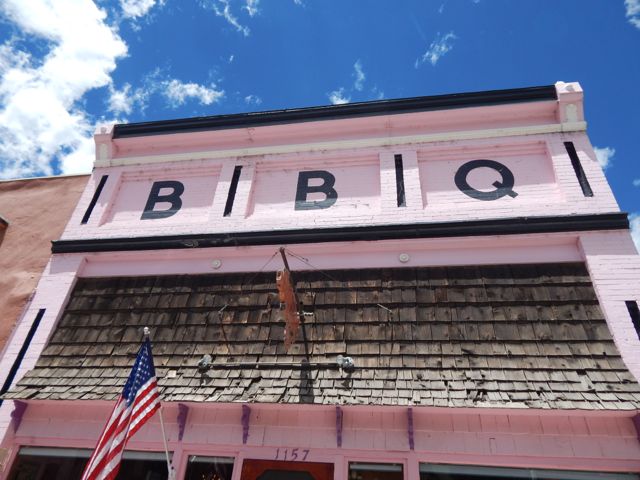 Pork ribs, baked beans, cornbread … and very British bread pudding for desert. My last restaurant meal before hitting the trail.
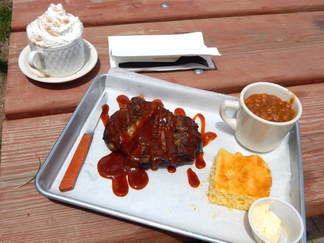 I wandered the town while my togs were drying.
 Getting out of Silverton was another blunder. I started hitchhiking … in the wrong direction. A local gent drove me up to the correct highway and to the best place to hitch. I had a ride within minutes. Hikers are hitching back and forth the 7 miles to Molas Pass all the time.
Arriving at the pass I met a European who was nearly finished the 500 mile Colorado Trail. But he needed to resupply in Silverton, staying at the hostel there one night. Oddly, he got a 7 mile ride with this truck driver. Some scam was in the works, I suspected. 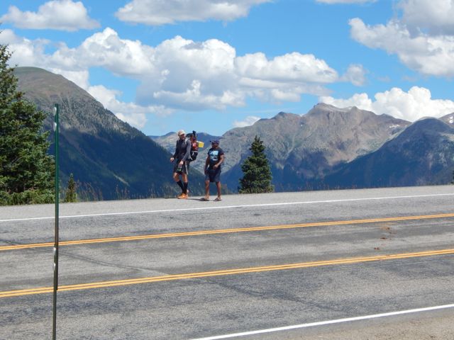
 Actually, Silverton has no grocery store. But does have a gear shop (fuel) and plenty of restaurants.
The vista looked great from Molas. Here I’m looking back at the section prior the one I was about to do.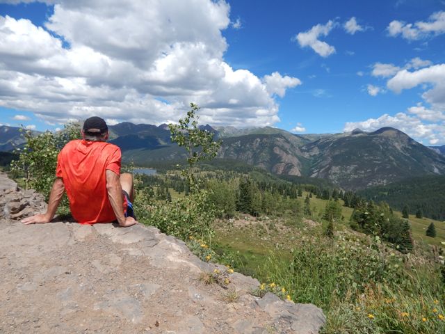 Across the highway. Off and up.
 Gorgeous scenery. Though my pack felt heavy. I should have left more STUFF hidden in a garbage bag.
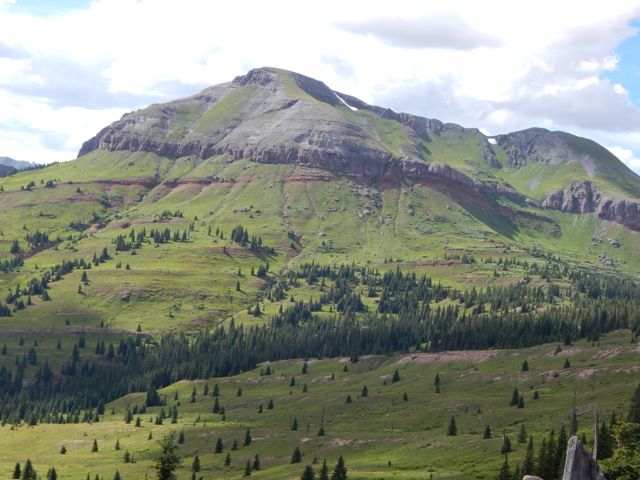
 The wild flowers are shoulder high in places.
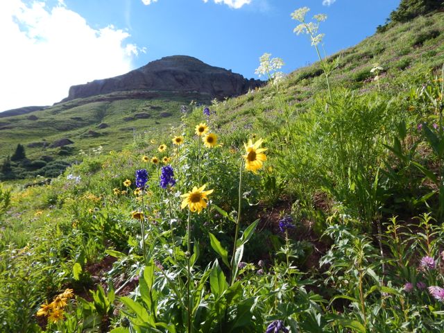 I set up in a lovely spot.
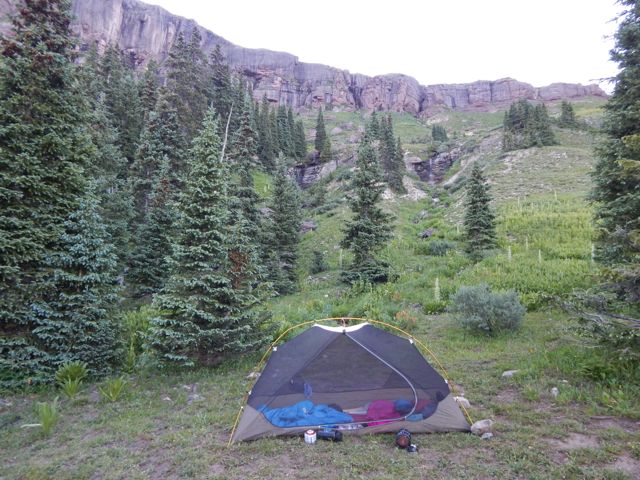
 Failed to get the campfire going this time. (Tried to skimp on kindling.)
The Colorado Trail is mostly dispersed camping. Put up your tent anywhere you like.
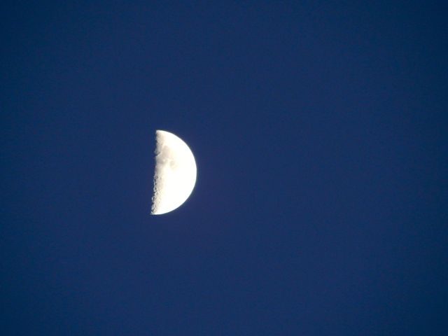
Clear skies. Nearly a full moon.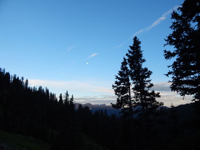 more high resolution photos of day 1
by site editor Rick McCharles
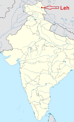
Locked and loaded. I land in Leh September 11th, 2015. I’ll be doing Markha and other local treks.
 AT A GLANCE
Click PLAY or watch 3minuteAdventures – Markha Valley Trek, Ladakh
on YouTube.
That’s the toughest itinerary, starting out of Stok village rather than the more popular trailheads of Spitok or Zinchen.
trip report by besthike editor Rick McCharles
day 1 | day 2 | day 3 | day 4 | day 5 | day 6 | info page
Hunt Lake to Monarch Pass
I was up at first light. But everyone else heading south was already gone. 

 I enjoyed a pot of coffee, as usual.
  It was up, up and away from pretty (but buggy) Hunt Lake.
  For some reason the steep climb to the only major pass felt easy today. Perhaps I’m getting used to this.

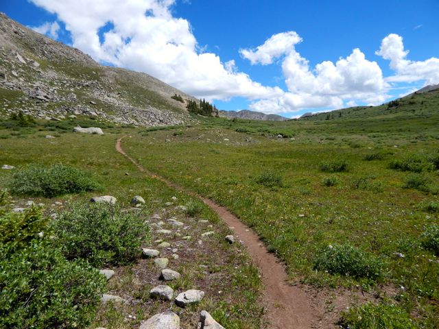
 The map showed a long, leisurely walk out along the continental divide.
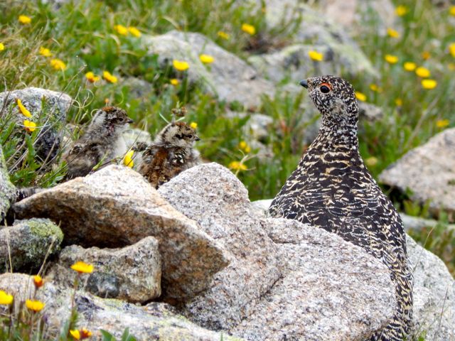
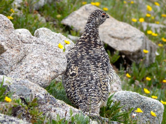
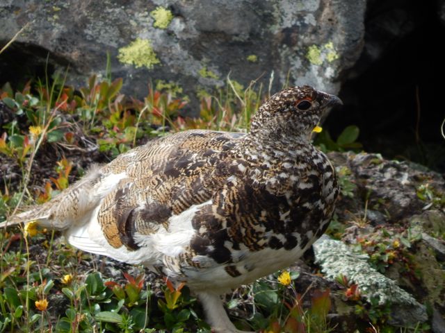
 More ptarmigan. These 4 chicks were very young.
 The end is near. Electricity.
  Traversing the roads atop of Monarch Ski Resort was a bit confusing. There are few trail signs.
 Here’s the finish. Paved paradise, put up a parking lot.
 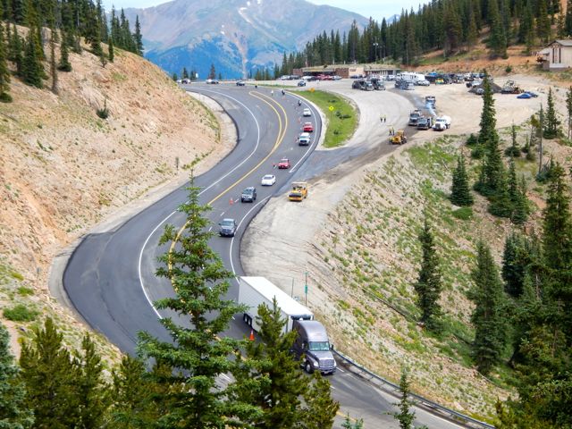 I caught a lift with a trail angel from Buena Vista. In thanks – and celebration – I treated for beer samplers and pork tacos at Elevation brewery.
 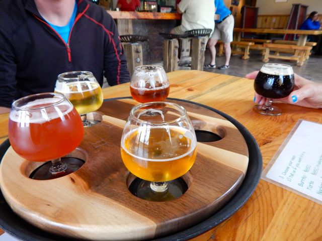 She dropped me at BV tourist information. I hoped to find a bus headed towards Aspen. Bad news: Though public transit is fantastic on the other side of Independence Pass, there are no buses in the poorer Arkansas River valley. 😦
Though I hate hitchhiking, a paddling guide drove me up to the Twin Lakes turnoff. … Then a fascinating world traveler – next skiing in Chile before settling down to research Dahl Sheep in Alaska – drove me the rest of the way to Aspen.
From there, in the pouring rain, I caught a $6 bus back to surprise my friends in Carbondale.
Done.
day 1 | day 2 | day 3 | day 4 | day 5 | day 6 | info page
___
If you are looking for a great 80 miles of hiking on the Continental Divide Trail, the new Colorado Trail Collegiate West is a terrific option. 🙂
trip report by besthike editor Rick McCharles
day 1 | day 2 | day 3 | day 4 | day 5 | day 6 | info page
Tunnel Lake to Hunt Lake
I made it through the night without putting the fly on the tent!
 UP – as usual – to the next pass.
 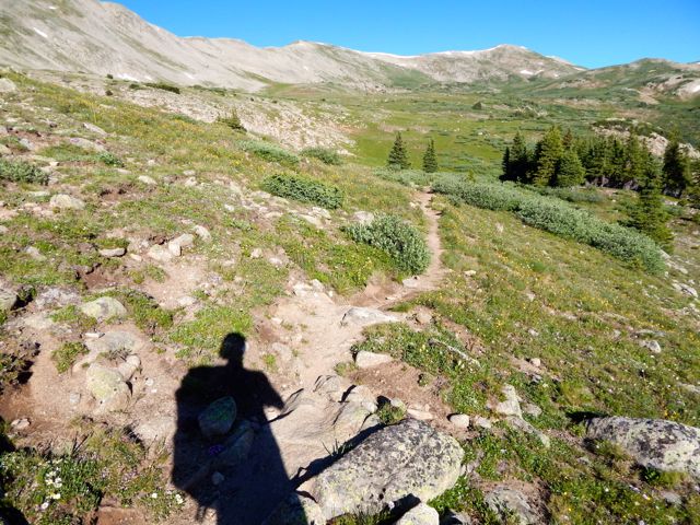 It looked imposing.
  On the other side are some buildings in Hancock.
  It was a relief, actually, to make better time walking an old rail line.
  Everyone loves the under regulation of hiking in Colorado. There are very few restrictive rules. One thing asked is that hikers register in log books as they pass by. Unfortunately each I passed was full. There were no pages left. Seems the system is broken. 😦
 In 2015 we still walked roads along the Arkansas River head waters en route to Hancock Lake. But volunteers were there in force building the trail which will soon run parallel to the roads. I was impressed with their enthusiasm.
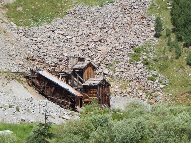
  Roads – and historical artifacts – exist in unusual places due to mining.
  I was happy to reach this lovely spot.
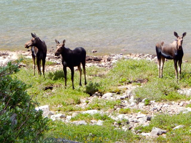
I chatted with a fisherman. He’d seen a herd of elk cross Chalk Creek Pass this very morning.  I didn’t see the elk. But there were three moose at Upper Hancock.
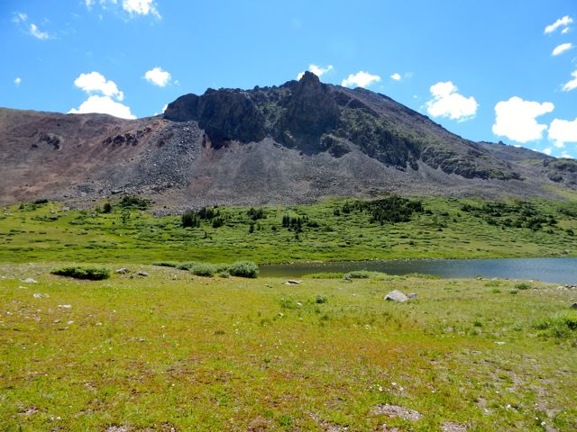
 Chalk Creek Pass was glorious. It’s a joy to get good weather up so high.
 In the heat, marmots got lazy.
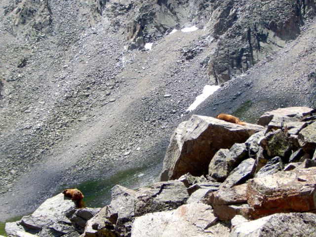
 I happened upon the empty Trail Crew camp. It inspired me to volunteer myself, one day. 🙂
 Over the bridge. Up to Boss Lake.
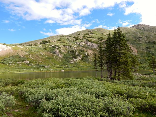
 I was keen. The weather was great. But an Austrian couple 3 weeks on the CDT convinced me I didn’t have time to make the final 9 miles so I set up at Hunt Lake.
  It turned out to be the prettiest campsite of my week.
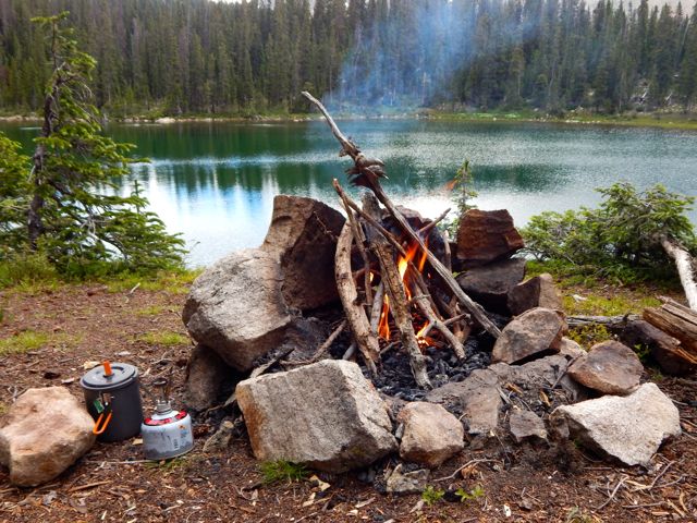


 more full resolution photos
trip report by besthike editor Rick McCharles
day 1 | day 2 | day 3 | day 4 | day 5 | day 6 | info page
Mineral Basin to Tunnel Lake
Good morning from the sunny continental divide. 🙂
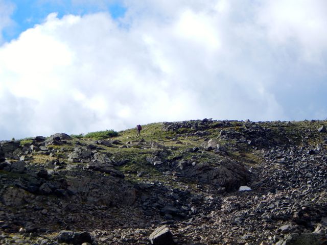
 I hate starting with a steep climb. Steep climbs like this.

 A lady hiking the opposite direction spotted ptarmigan.

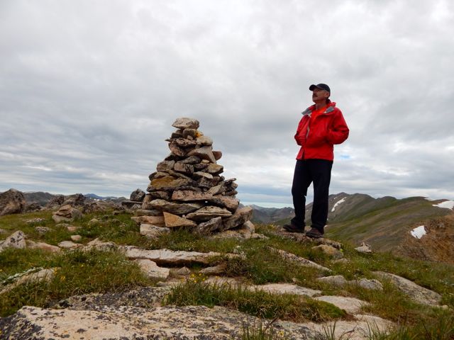
 I celebrated reaching this 12,824ft (3908m) pass. It should be a big deal. Yet this pass has no name, no sign. Not even a cairn.
 It was windy, as usual. So I didn’t stay long. Down and down.


 There are many different species of birds I can’t recognize. Woodpeckers are noisy in forested areas. Those I can identify. 🙂
 Glorious.


 That’s Tincup Pass Road near St Elmo. ATVs were here in number.
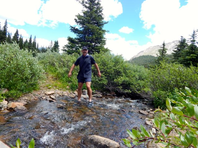
 I washed up in the creek.
 Then took a siesta for an hour or so.
  The Tunnel Lake trail ascent more gentle than usual.

Wanting some shelter from (possible) lightning storm, I camped by the lake. Oddly there were almost no established tent sites. In the end I crammed my Hubba into this spot. Another couple set-up in a fairly lousy spot, I thought, up above.
 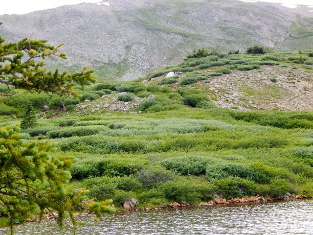 At dusk a hare came by to check me out. The first time I can recall any rabbit being curious about my tent.
