Denver has landed the coveted Outdoor Retailer summer and winter trade shows, sources confirm
Five year deal will bring 45,000 attendees to Denver, delivering estimated $45 million economic impact
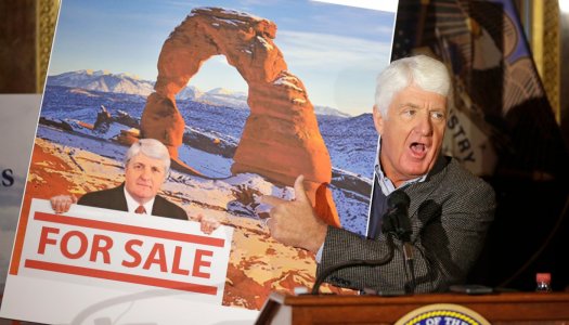
Emerald and its show partner, Boulder’s Outdoor Industry Association, announced this year they were pulling the winter and summer Outdoor Retailer trade shows out of their 21-year home in Salt Lake City, citing Utah political efforts to downsize recent national monument designations, specifically the 1.35 million-acre Bears Ears National Monument created by the Obama Administration in December 2016.
The @UtahGOP hate the outdoors.