new app – Trekking in Nepal

If interested download both the app and checkout the web page:

HoneyguideApps.com

The app offers offline support for both guided and independent trekkers.


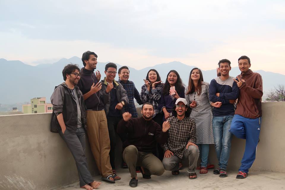
Guest post by Ashish Shrestha:

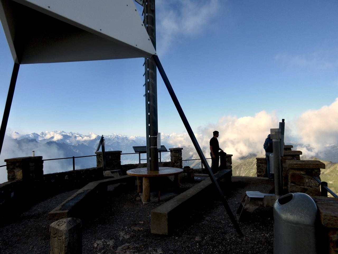
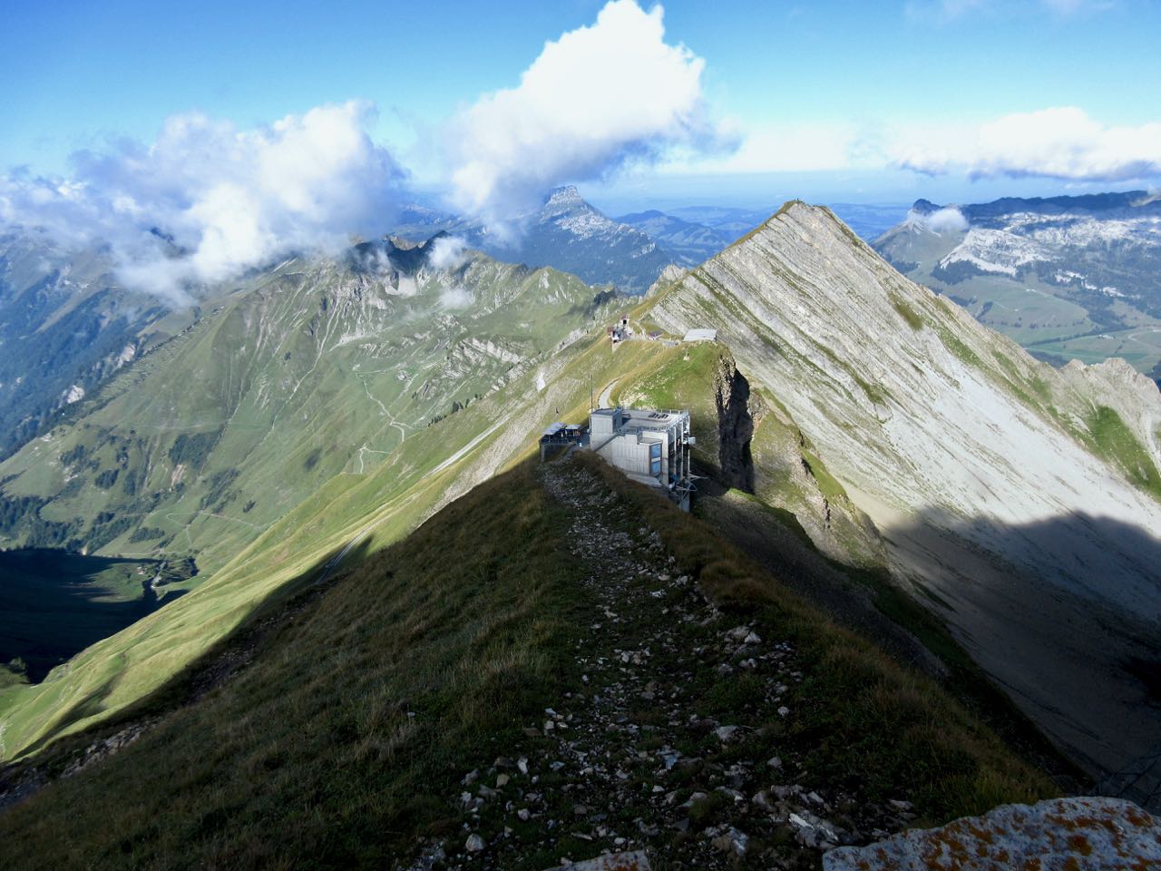
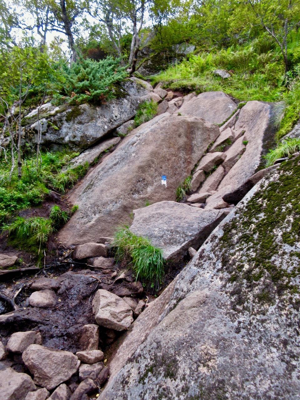
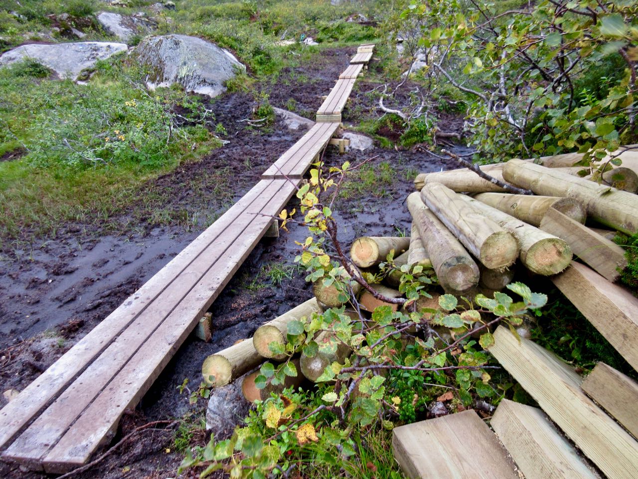
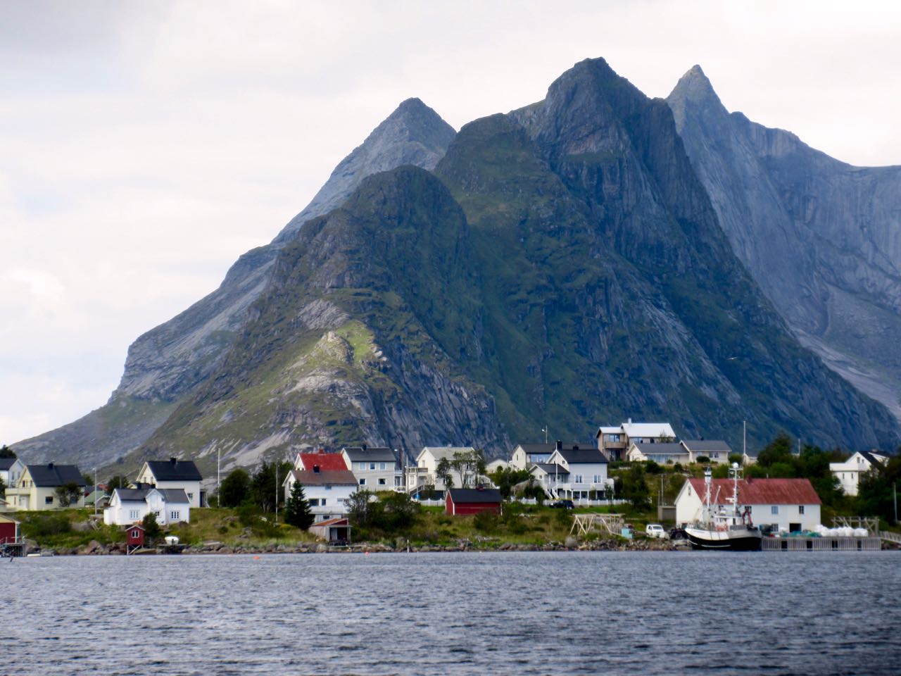
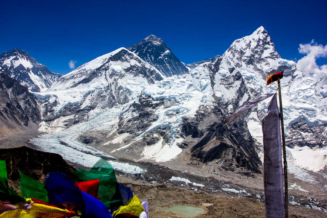
Phuraphuti Sherpa runs the homely Namaste Lodge at Monjo, one of the many small villages that trekkers pass through on their way to Everest Base Camp.

The number of trekkers is close to fifty thousand per year, but only a handful know the fact that Phuraputi also runs a small kitchen garden and serves organic vegetables to her guests.

As she says, “I run a small lodge but I make sure every trekkers leave happily when they go. I even grow my own vegetables and serve organic food. I hope that now even small lodges like mine get equal opportunity to be noticed!

In traditional dress for the photo.

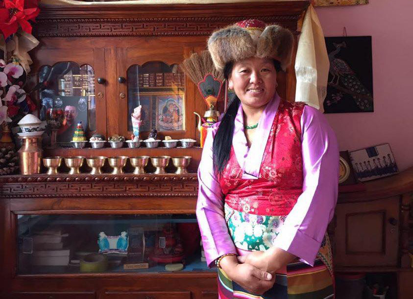
She is one of the 80 lodges in the Everest Region that has signed up for HoneyGuide, an online community that connects mountain lovers with people who depend on the mountains for their livelihood.

The inspiration behind HoneyGuide is to:

  1. Make sure that porters, guides, and lodges get paid equitably and get business transparently.
  2. Make sure that trekkers get enough options and information to run a trek the way they see fit: from going independent without any bookings to a fully guided trek.

To these ends, HoneyGuide is:

  1. A Trek Planning Tool with:
    1. Comprehensive and Up to date information on Everest Base Camp Trek
    2. Complete Checklist for planning a trek in Nepal
    3. Health and Safety Advice for Trekking in Nepal
  2. A Trek Booking Tool with:
    1. Transparent Trek Booking starting with minimum services and options to add on extra services. See Gokyo Lakes and Gokyo Ri Trek.
    2. Capacity to Book Flights, Lodges, and Guides separately. Email addresses and Phone Numbers are also available to aid communication.
    3. Reviews and Ratings to ensure that lodges, and guides get business not based on kickbacks, but hard work and good service.
  3. A Trek Companion that:
    1. Introduces you to the Attractions, Mountains, Birds, Flowers, and Cultural Sightings of the villages you will pass through. See Namche for example.
    2. Breakdown of what you can expect on each Day of your trek. For example see Day 8 of the Everest Base Camp Trek.
    3. Provides all of the above in an offline Mobile App “Trekking in Nepal”. Here are the download links for Android and iOS devices.

(The iOS app is not free right now. Contact Dakshina with the Referral Code BestHike, and we will send you a promo code for iOS devices.)

Everest View from Kala Pathar. PC: Tenzing Hillary Everest Marathon.

Author Information.

Ashish Shrestha from Kathmandu grew up surrounded by lofty peaks and early developed a love for mountains. He’s a co-founder of the project 

The HoneyGuide Team.


Harder Ridge, Switzerland – best day hike on Earth?

Trip report by BestHike editor Rick McCharles.

  • dangerous
  • 10 hours
  • at least 18km on sharply defined ridge
  • should absolutely never be attempted when wet
  • plenty of exposure on both sides
  • frequent scrambling required
  • Brienz to Interlaken with rail assistance getting up to and descending from the ridge

Don’t hike the other direction. Logistics are easier starting in Brienz. And it’s safer as the last 2 hours (when your legs are tired) is on easier trails. 

I got up early in Interlaken, ready for my free hostel breakfast starting 7am.

Every half hour a train runs from Interlaken to Brienz for 8.20 francs (2018).

Happily I made the first steam train 8:36am — from Brienz to Brienzer Rothorn Station. It’s been making this run since 1891.

Price is reduced to 28 francs for the first train (2018) to encourage folks to get as early a start as possible on their hike.

At 9km / hour it takes an hour to get to the top of the ridge 2351m.

If clear, you can enjoy distant views over to Jungfrau highest peaks; the Eiger, Mönch, Jungfrau, Schreckhorn, Finsteraarhorn.

I climbed up to the viewpoint. This is as far as most tourists hike.

Looking down on Brienzer Rothorn Station.

At 10am I started to walk back to Interlaken. I would have about 11.5 hours to make the last teleferico down from Harder Kulm Restaurant. Otherwise I’d have to walk down in the dark.

You can’t really get lost. Follow the ridge no matter what.

The weather was perfect.

You have Brienz lake on one side …

… and Swiss foothills on the other.

I loved it instantly.

Most of the time the ridge is not all that intimidating.

It often looks worse than it turns out to be.

I’d heard everyone who comes up here sees ibex. … Are these ibex?

This adventure is more popular with trail runners than with hikers as they can easily make it in less than 10 hours.

I took very few breaks. Other than checking the GPS on my phone, I had no idea whether I was moving quickly enough to finish in time.

Each time I’d climb a high point on the ridge, even higher points would come into view.

I don’t think I saw another person over the first 5 hours.

Sadly I seemed to be a lot closer to Brienz than Interlaken.

There are sections with stairs, cable and chain assistance. These would be most useful when down climbing in wet conditions.

Hmm … I might finally be past half way.

I tried to quicken my pace on the easiest sections.

There are many more day hikers on the Interlaken end of the ridge. They assured me I’d make it on time.

Interlaken

The last 2 hours stays on the ridge, but you are mostly in the trees. It was the least interesting section … but I was pleased to have less exposure as my legs got tired.

Here it is at last. Harder Kulm Restaurant.

The last funicular descends at 9:10pm. If it’s busy they may run until 9:40pm.

I gladly paid 16 francs and found the short trip down very interesting.

It was dark by the time we arrived Interlaken.

And I was quite dehydrated. I’d brought only 1.5 litres with me. I could have used about 3 litres.

When I got back to the hostel I announced it was the best day hike of my life.

Click PLAY or see if I look happy on YouTube.

best way to hike Lofoten Islands, Norway

Lofoten is without question one of the best hiking destinations in the world.

Bunes Beach hike

But it’s remote.

Also, Norway is very expensive.

The gateway for most people is the town of Bodø, the end of the train line north. It’s often cheaper and easier to fly as the train is a 17 hour overnight journey.

From Bodø you have options. If you don’t have your own transportation easiest is to make a loop by ferry and bus.

Take the fast passenger ferry Bodø to Svolvær. About 4 hours.

Your first hike should be Fløya & Devil’s Gate. The trailhead is about a half hour walk from the ferry landing.

From Svolvær you would take buses or hitchhike the only highway west through islands A to V to F to M. 

M Moskenes (Moskenesøya) has the best hiking. Save it for last.

Reine is the best base town for Moskenes. You can do 3-4 awesome hikes out of the same town.

From the village of Å (the last letter of the Norwegian alphabet) you can catch the slow ferry back to Bodø. About 4 hours.

The weather is dreadful. For any 7 day period during the hiking season you may have several days of serious wind and rain. These should be rest days if you have time.

If you have your own vehicle — or decide to rent a car — you can go when and where you want. That’s ideal.

related – travel 2 walk – trip report: Norway – Bødo & Lofoten Islands, August 2017


Norway’s Lofoten Islands – hike Fløya & Devil’s Gate

Trip report by BestHike editor Rick McCharles.

My last hike in Norway was terrific.

The evening before my 6:30am ferry departing Lofoten Islands I did the famous hike out of Svolvær, the fast ferry port.

From the wharf it’s about a half hour walk to the trailhead.

I hid my pack where I wanted to tent and started up the steep scramble. For a change the most difficult part is right at the bottom.

There’s chain and rope assistance at some points.

The muddiest sections have new boardwalk. That helped.

As much as possible I stayed on stone.

Pretty views all the way up.

From below I saw people scrambling the ridge.

I ended up climbing to the top of Fløya first. An amazing vista down over the town of Svolvær and Vestfjorden.

Down below is the famous climbing spire called the Goat. (Svolvaergeita)

To get to Djevelporten (Devil’s Gate) I had to descend quite far and climb back up again.

Late in the evening I had it to myself.

Click PLAY or watch it on YouTube.

In no rush I descended back to my tent stopping often to enjoy my final hiking vistas of gorgeous Lofoten.

Norway’s Lofoten Islands – Reinebringen alternative Topp 730

Trip report by BestHike editor Rick McCharles.

The most famous hike on the Lofoten Islands — Reinebringen — was closed for the 3rd season in a row.

Happily, my guide book (2017) by Kristin Olsen recommended an alternative.

There’s a longer, muddier route to hike up to the coffin above Reine.

From there you can walk the ridge and scramble up to two different peaks, one unnamed but called on some maps Topp 730.

Best would be to have your own kayak or raft to get to the end of Djupfjorden. I didn’t … so had to walk the muddy shoreline from the bridge.

I camped near this point on my return, atop a huge flat boulder.

I’d been warned this section was worst. It was.

But the elixir of life kept me going.

Goal #1 was the red cabin at the end of the fjord.

From there you scramble as best you can to the top of the waterfall. No trail. I was with a French couple at this point.

It was a pleasure to reach the lake and easier scrambling.

It was another beautiful day well above the Arctic Circle.

I was super happy to reach the coffin. Gorgeous views.

There’s no real reason to go on.

But everyone up there, including me, went scrambling the cliff edge.

Finally I sat down to enjoy the vista and my Mexican pizza.

Everyone but me headed up left to this peak. An easy walk-up.

I went instead for the steeper scramble to my right of the coffin.

Though there was some exposure, it was a blast.

I left a Summit Stone.

A local hiker who had been there before looped down on the closed old Reinebringen trail, avoiding the Nepali construction team.

When I saw them working far below I finally turned back, not wanting to risk rock fall.

What a fantastic hiking day.

This is why I made the long trip to the remote Lofoten Islands.

Norway’s Lofoten Islands – hike Helvetestind (Hell’s peak) & Bunes beach

Trip report by BestHike editor Rick McCharles.

My first hike in stunning Lofoten above the Arctic Circle was a great one — Bunes beach.

The weather atypically gorgeous in Reine.

From here you catch a ferry to the end of the Bunesfjorden.

A Norwegian hiker told me he had this beach to himself on a sunny July day 9-years-ago. No more. It’s super popular in 2018. Our boat was packed.

Half the passengers were stuck like sardines in a can below deck. The other half sat up top. Yep … I was front and centre savouring the scenery.

The ferry was at least as good as the hike itself.

I’ve seen some amazing mountains. Dolomites. Yukon. Patagonia. But I can’t recall seeing so many astonishing peaks anywhere else. They were carved by huge, powerful glaciers.

Of two or three potential trailheads, most hikers alight at Vinstad.

Most dashed straight up the old carriage road to the beach to set up their tents.

I stopped, instead, at the pass for lunch.

Stashed the pack …

… then headed up Hell’s peak.

Actually it was easier than it looks.

This is Helvetestind (Hell’s peak) 602MASL (metres above sea level). That’s the beach below.

You can see Reine looking back down the fjord.

I took my time coming down.

Lofoten is gorgeous in so many ways.

Bunes beach is huge. I dropped my pack and went exploring while I still had sunlight.

Everyone sets-up under this huge wall.

Next morning I was first up and gone. I sat up on the pass enjoying my coffee in the sun while it was still shady down on the beach.

As a result I got back to Vinstad early.

People live here. I went exploring.

Homes are literally cabled to the ground to keep them from flying away during strong winter storms.

While waiting on the ferry a packraft stopped by. The German adventurer was going to try an off-trail climb for the second day in a row.

Less crowded, everyone got to stay up top on the return.

Reine is beautiful. A good kayaking fjord.

Reine is the best base town on the Lofoten Islands for me. You can do 3-4 great hikes like this from here.

famous Norwegian hike closed for Sherpas

For the 3rd season in a row Reinebringen out of Reine, Lofoten Islands is closed.

Several people have died in recent years on the tough, muddy scramble to this iconic vista.

The experts were called. Eight experienced trail builders from the Himalaya.

If people climbed there’s a risk of rock fall down to where they are working.

Out of respect for these guys, I did not climb it.

Reinebringen should open 2019. And be MUCH safer.

There is a good alternative (called by some) Topp 730 that gets you to very similar vistas.

hike Besseggen Ridge, Norway

Trip report by BestHike editor Rick McCharles.

Besseggen, or Besseggi … in Jotunheimen, is a thrilling ridge walk with alpine lakes on either side. You look down on lakes Gjende and Bessvatnet.

  • 13.3km (8.25mi)
  • 6-9 hours
  • 950m elevation gain

Click PLAY or get a quick glimpse of how it goes on YouTube.

Besseggen is a loop with a ferry section.

You walk between Memurubu and Gjendesheim. Both offer lodges and camping. Independent hikers tend to camp outside the official campground area at either. That’s free.

I camped for free.

The vast majority bus in or park at Gjendesheim. Then take the Besseggen Boat. There’s no real reason to book in advance online.

You can hike the other direction but the down climbs are slightly more dangerous that way.

This is Norway’s most exciting National Park: Jotunheimen the “Home of the Giants“.

Camping free at Memurubu.

Besseggen is recommended from the end of June to mid-September. During those months more than 30,000 hikers make the adventure. You won’t be lonely in high season.

Many bring dogs on leash.

The route is well signed. You won’t get lost.

The morning I was there it was foggy on the long slog up.

One you get up on the ridge views are awesome.

I left a Summit Stone at one of the cairns.

Footing is rocky but offers traction everywhere except steep, wet down climbs. Those are dangerous.

As promised, the weather cleared. I love this kind of bleak beauty.

Looking back at the long lake. It’s turquoise due to rock flour.

The last 4km back to the start are sometimes flat and easy, sometimes challenging scramble. There is a chain assist at one point.

Besseggen is definitely one of the best day hikes in the world. I’ll never forget it.

Click PLAY or watch some SAFETY tips on YouTube.

Finally, Click PLAY or watch on YouTube some highlights of my own hike.

related – Visit Norway – BESSEGGEN RIDGE IN JOTUNHEIMEN

Norway – hiking Solstien out of Rjukan

trip report by BestHike editor Rick McCharles

Driving in after dark, I slept at the base of Mt. Gausta, Norway, hoping to get a very early start.

It’s the highest mountain in Telemark, a super popular hike.

When I awoke, however, it was cloudy atop the peak.

After making some coffee I finally decided to drive on and hike instead nearby Hardangervidda plateau.

I drove way, way down to Rjukan town.

For 6 months a year no sun reaches this deep valley.

Why would people live in Rjukan?

Hydroelectricity, of course.

Rjukan Falls, a 104-metre waterfall, provided easy means of generating large quantities of electricity. In 1934 this was the world’s largest power plant.

Easiest way up the opposite side of the valley is via the Krossobanen aerial tramway, built 1928 as a gift from Norsk Hydro to the people of Rjukan (most of them Hydro employees), offering them a view of the sun during winter.

Actually that’s the oldest in Scandinavia. It looks old.

I was in the first car. Happy to gain 814m quickly.

There’s a restaurant and good views across the valley to the mountain.

At the top of the lift I was a bit disappointed to see road, cabins, snow machines, quads. It’s a community up here, not wilderness.

Lonely Planet recommended a 9km walk-in to Helberg cabin.

I had been advised the hike was wet. And it was wet.

Hardangervidda is characterised by barren, treeless moorland interrupted by numerous pools, lakes, rivers and streams. Erosion in this environment makes any trail muddy. Too wet for me.

I turned around.

Instead I tried the Solstien loop. I knew it had a stepping stone stairway. I could keep my feet relatively dry.

Nice.

The sun came out as I got to the top.

Germans in World War II tried to produce heavy water for future nuclear weapons in this valley.

They built these gun emplacements to shoot down British planes.

This weird, bleak, inhospitable environment really appeals to me. I recommend the hike.

By the way, I small-stepped down the 814m back to my car. It did seem long.
___

There’s some good news. The people of Rjukan now get some sunlight without climbing out of their valley. Martin Andersen, an artist who moved there in 2002, pushed an initiative to build a computer-controlled array of three giant mirrors that moves with the sun to light 600 square meters of the town square.

related – Visit Telemark – Solstien