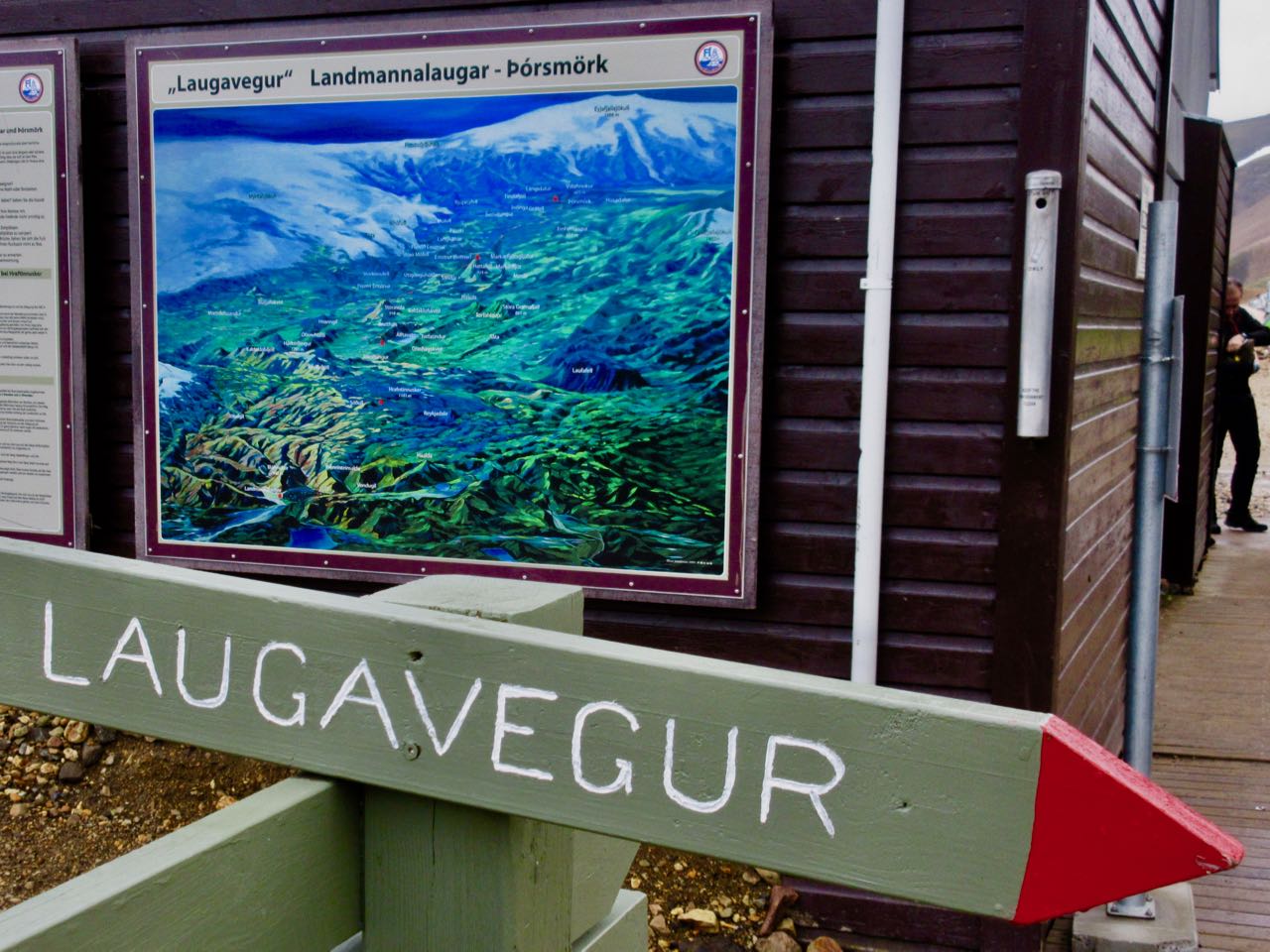
Trolltunga (Troll Tongue) is a rock formation situated about 1,100 metres above sea level …
The special cliff is jutting horizontally out from the mountain, into free air about 700 metres (2,300 ft) above the north side of lake Ringedalsvatnet. …
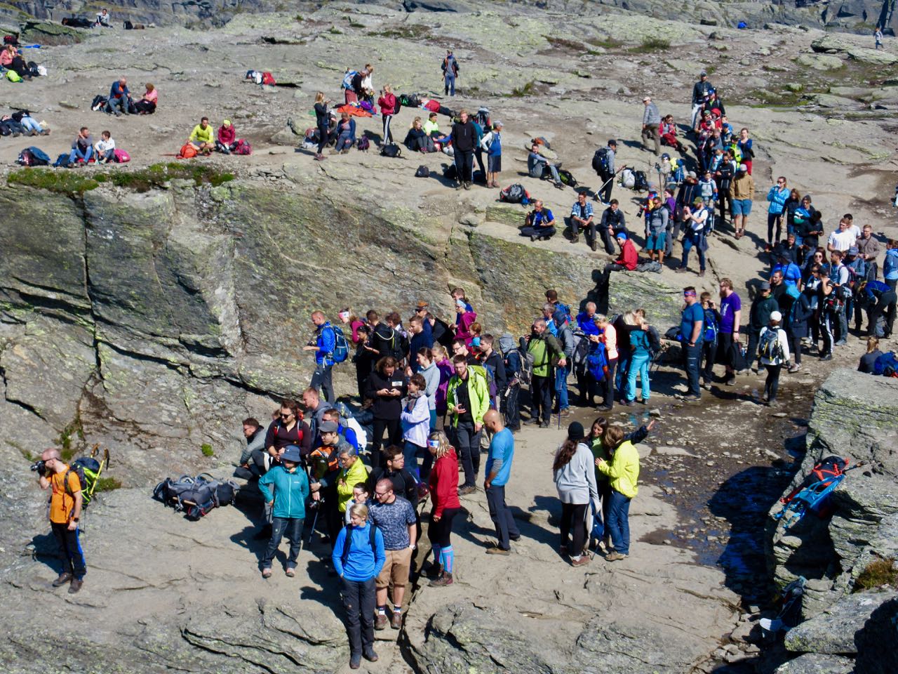
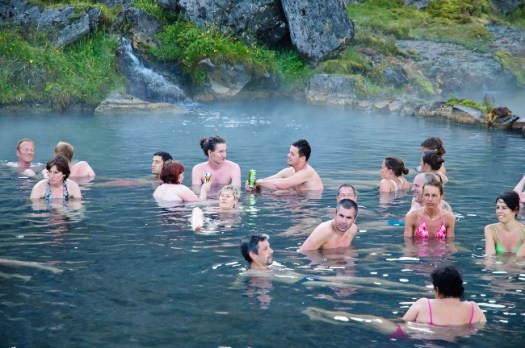
Here’s the Instagram moment people expect.
Here’s the line-up ☹️ when I arrived on one of the best days of the year.
Before 2010 fewer than 800 people hiked to Trolltunga each year. In 2016 more than 80,000 people made the adventure!
It’s packed.
I certainly didn’t wait.
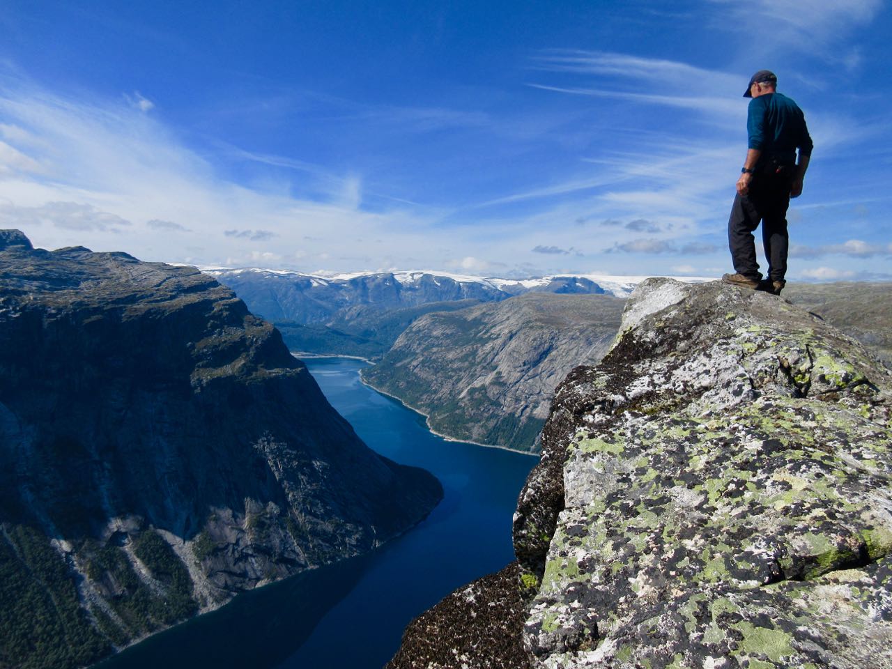
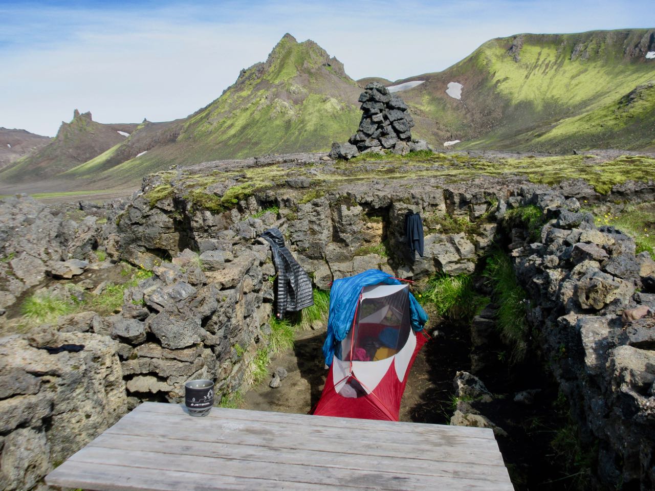
Instead I walked on to try to find the little Pulpit which is about 2km further past the last emergency hut. It’s close to the best camping area.
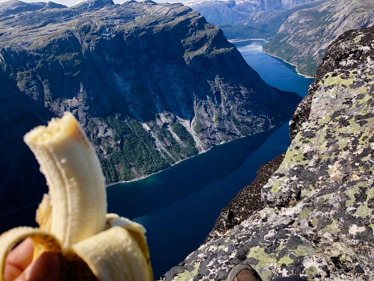
Happily I had the small Pulpit to myself for about 25 minutes before anyone else showed up. A great lunch spot.
And I did get to dangle my feet over the edge.
Fact is it’s pretty easy to locate a private cliff edge in Norway. It has the second longest coastline in the world due to all those fjords. Go find your own.
Despite the mob scene at the Tongue I really enjoyed the hiking day. We lucked out and had great weather.
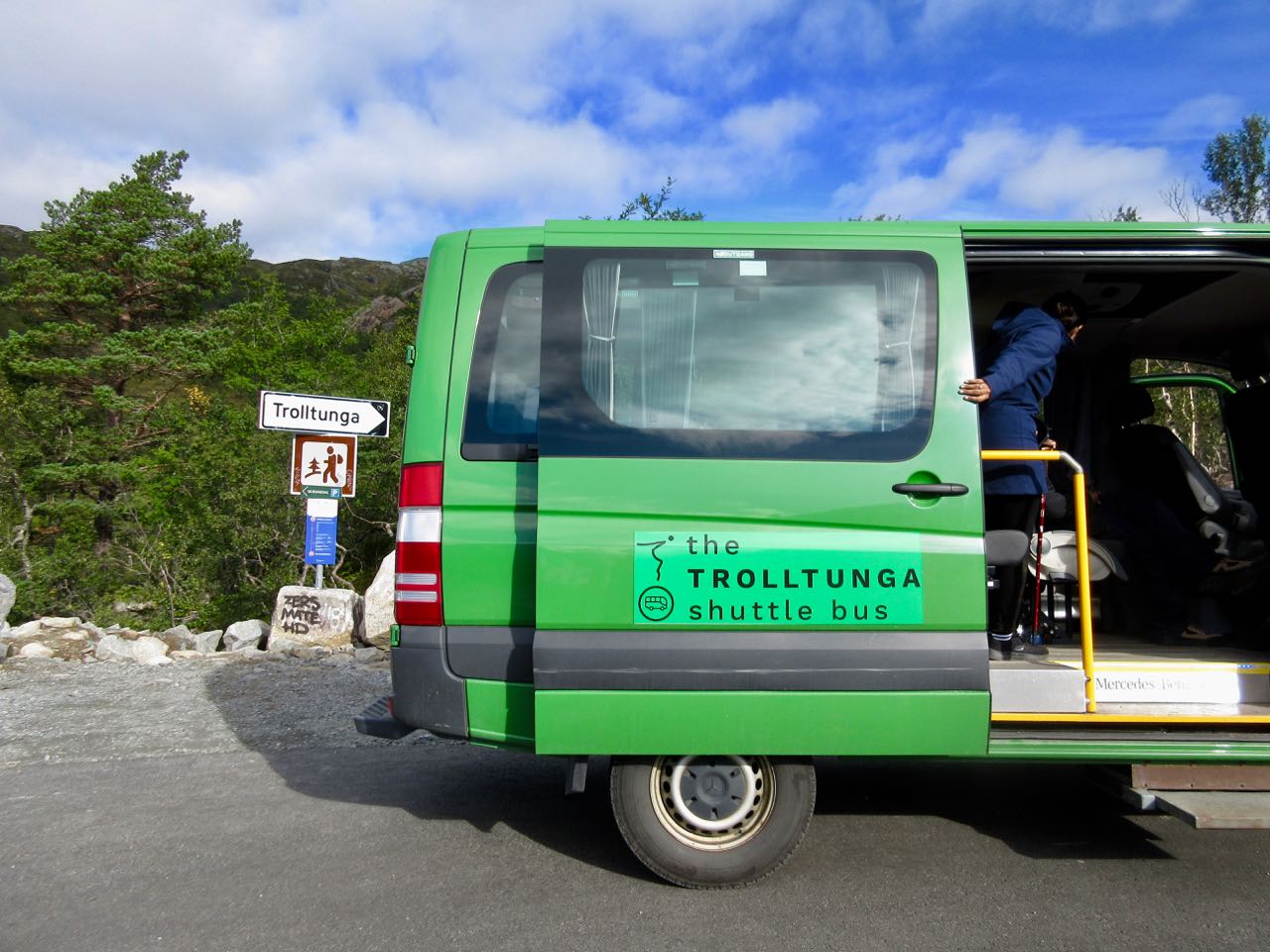
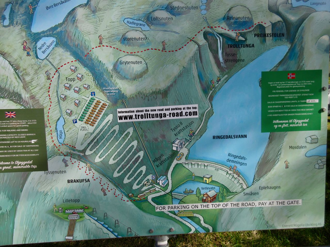
Parking at the trailhead costs 500 NOK/day (approx. 62 USD or 52 EUR). And over 300 spots were full the morning I arrived. I had to park 6km lower on the mountain for 300 NOK/day … and take a golf cart up for 100 NOK. Yeesh!
Starting 2017 from the higher parking lot you can take a shuttle up an additional 4km for 100 NOK. Worried about finishing in daylight, I paid.
Just to get to the start of the hike cost me CAD $78.
Troll’s Tongue much longer but easier walking than the other two famous cliff edge hikes in Norway. Very enjoyable.
Safety is a big concern. September 2015 a 24-year-old Australian woman fell to her death, the first recorded fatality. There are about 40 rescues annually, most on the walk out due to fatigue or exposure. A few get lost.
An additional bonus is the crazy drive to get to the trailhead. I drove both up and down the entire mountain. It’s awesome.
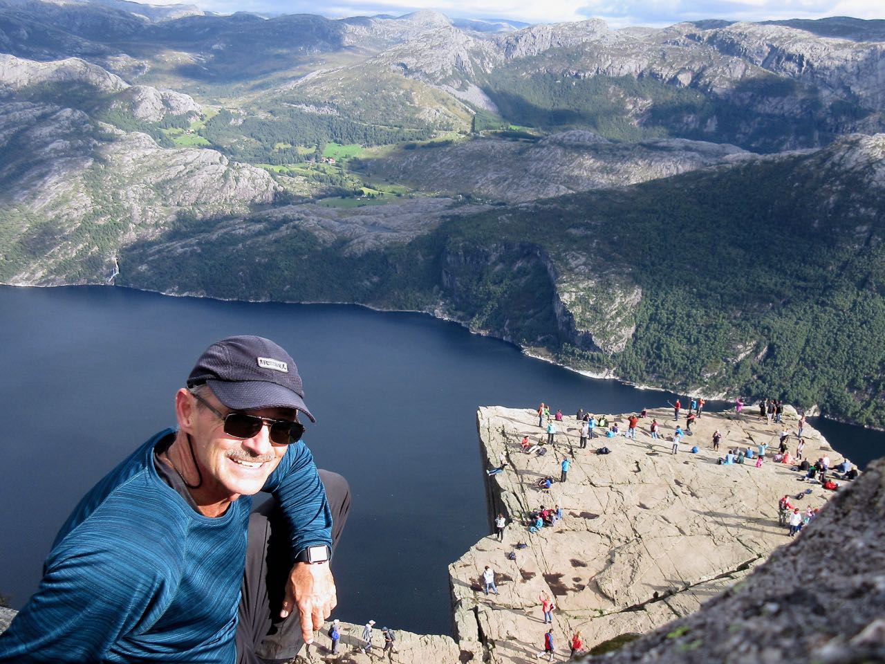
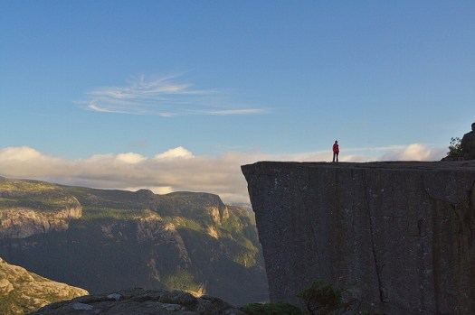
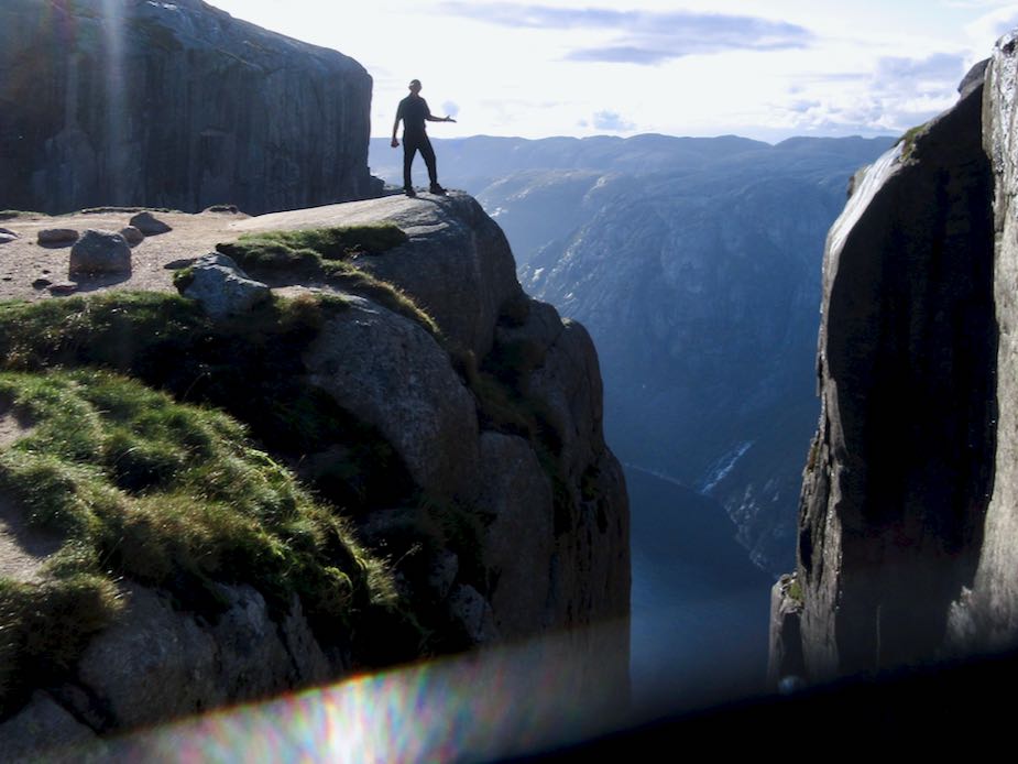
Preikestolen (English: «Preacher’s Pulpit», «Preacher’s Chair» or «Pulpit Rock’») … is a steep cliff which rises 604 metres (1,982 ft) above the Lysefjorden. …
Tourism at the site has been increasing in recent years, with between 150,000 and 200,000 visitors in 2012 …
… authorities have opted not to install fencing or other safety devices as they felt it would detract from the natural beauty of the site and the fact that fatalities at the site are extremely rare …
Up top I realized I’d left my good camcorder and tripod on my rent-a-car in the very busy parking lot. Surprise, surprise … it was still there when I got back 4 hours later.
The new trail will bring economic benefits to the North Coast, where rural towns need such growth. Outdoor recreation already brings in more than $92 billion a year to California, nearly 700,000 jobs with more than $30 billion in wages and more $6 billion in local and state tax revenues.
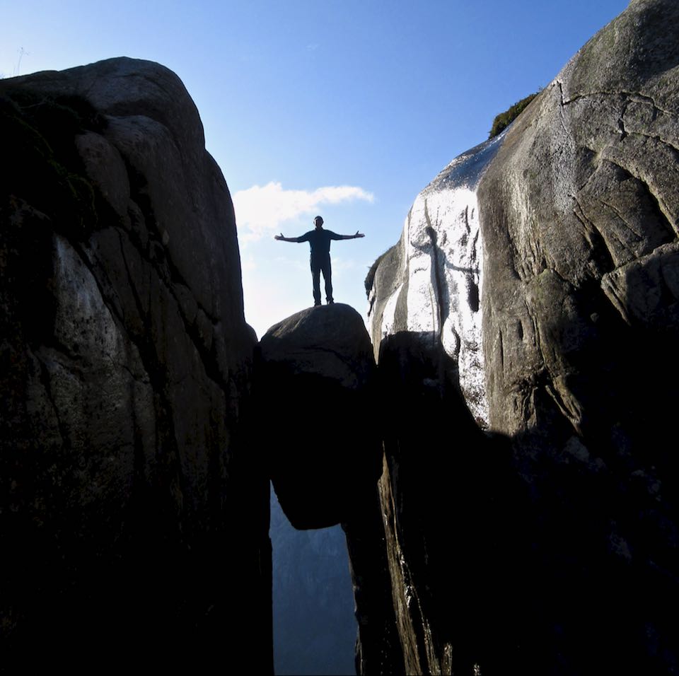
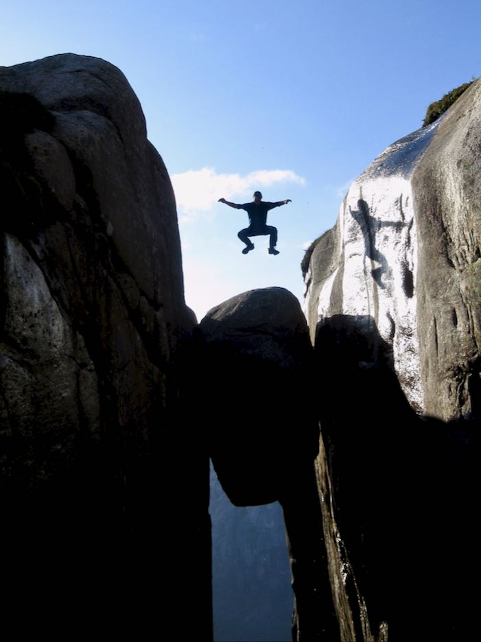
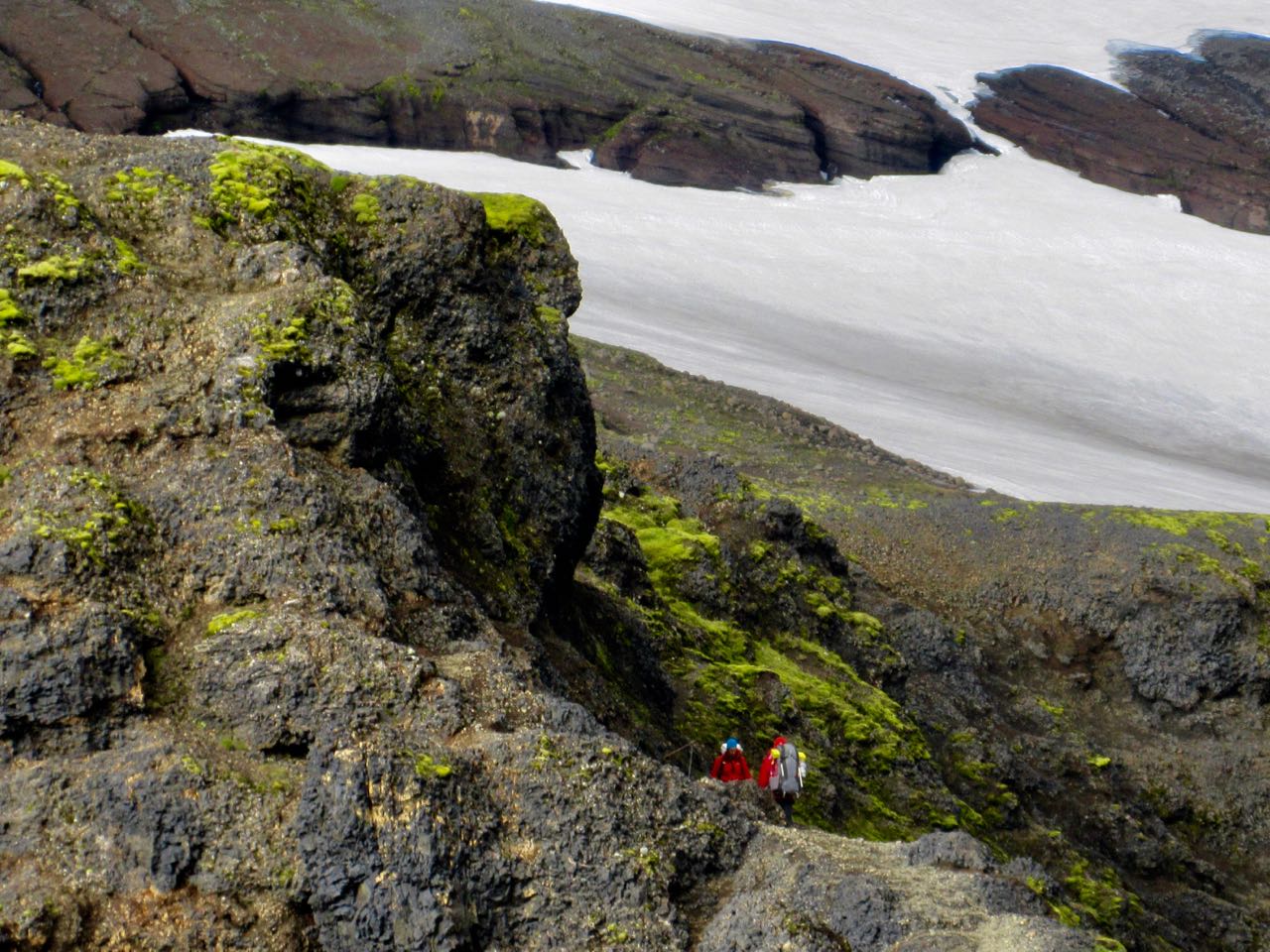
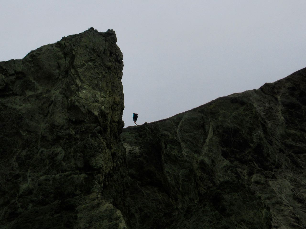
Every hiker has seen photos of the boulderwedged into a Kjerag mountain crevasse above a Norwegian fjord.
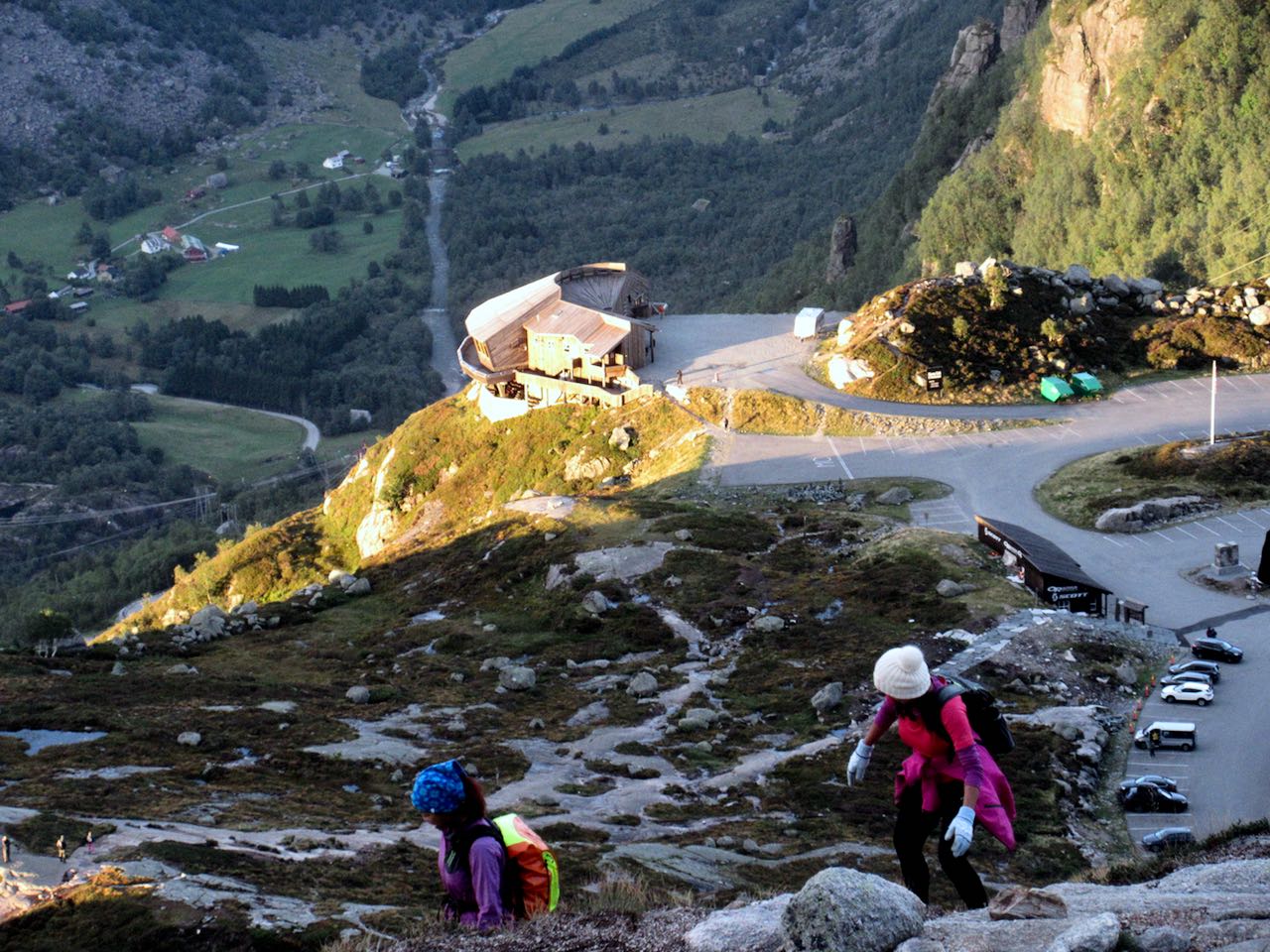
That’s 984m (3,228ft) high. It’s a popular site for BASE jumping.
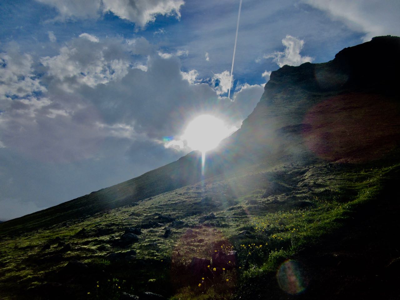
A Russian BASE jumper was walking up at the same time as myself — some like to jump close to sunset — but he kept climbing past this spot to something more exciting.
I’d never heard it was a tough hike to get there.
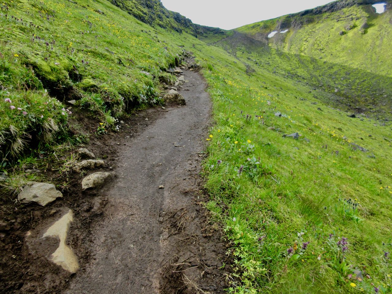
Here’s the start of the easiest ascent from Øygardsstølen visitors center.
It’s 4-6 hour return over beautiful rocky terrain. Some scrambling. Very slippery. There are plenty of chain assists. I used many of them even in dry weather.
By comparison I would say this is much more challenging than Half Dome in Yosemite. And there are all kinds of inexperienced tourists with poor footwear.
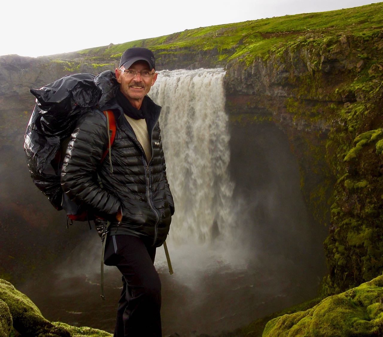
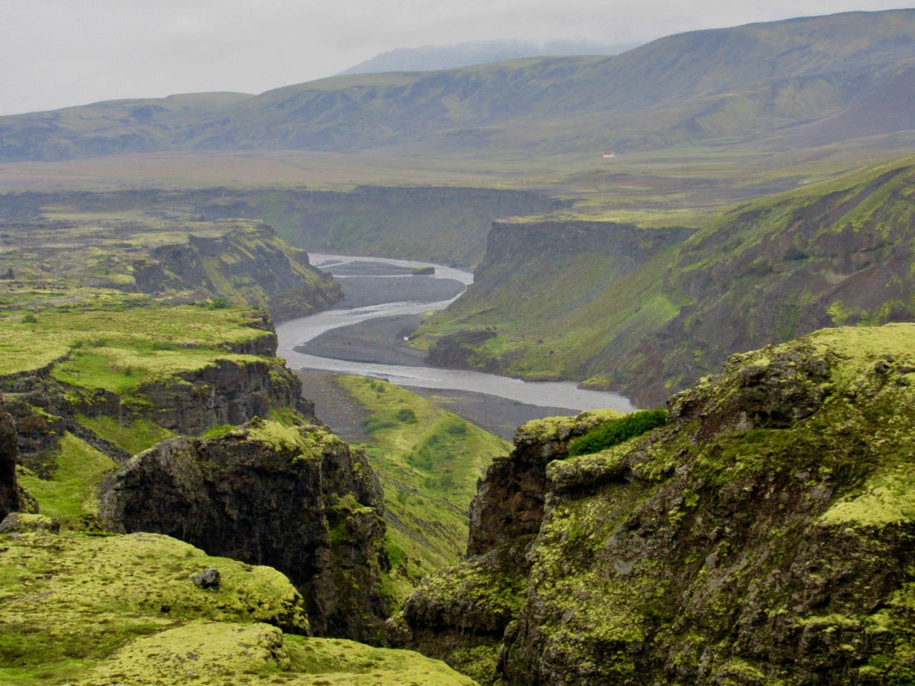
When I think back on Laugevagur, my first thoughts are of the amazing waterfalls on the last day. Is there a more spectacular chain of falls anywhere else on Earth?
Happily, the weather was quite good when I woke early. Then a thunder storm rolled in and disappeared before I’d finished coffee.
Later I learned that Mark was already up high. Very nervous. There’s no place to hide from lightning in Iceland.
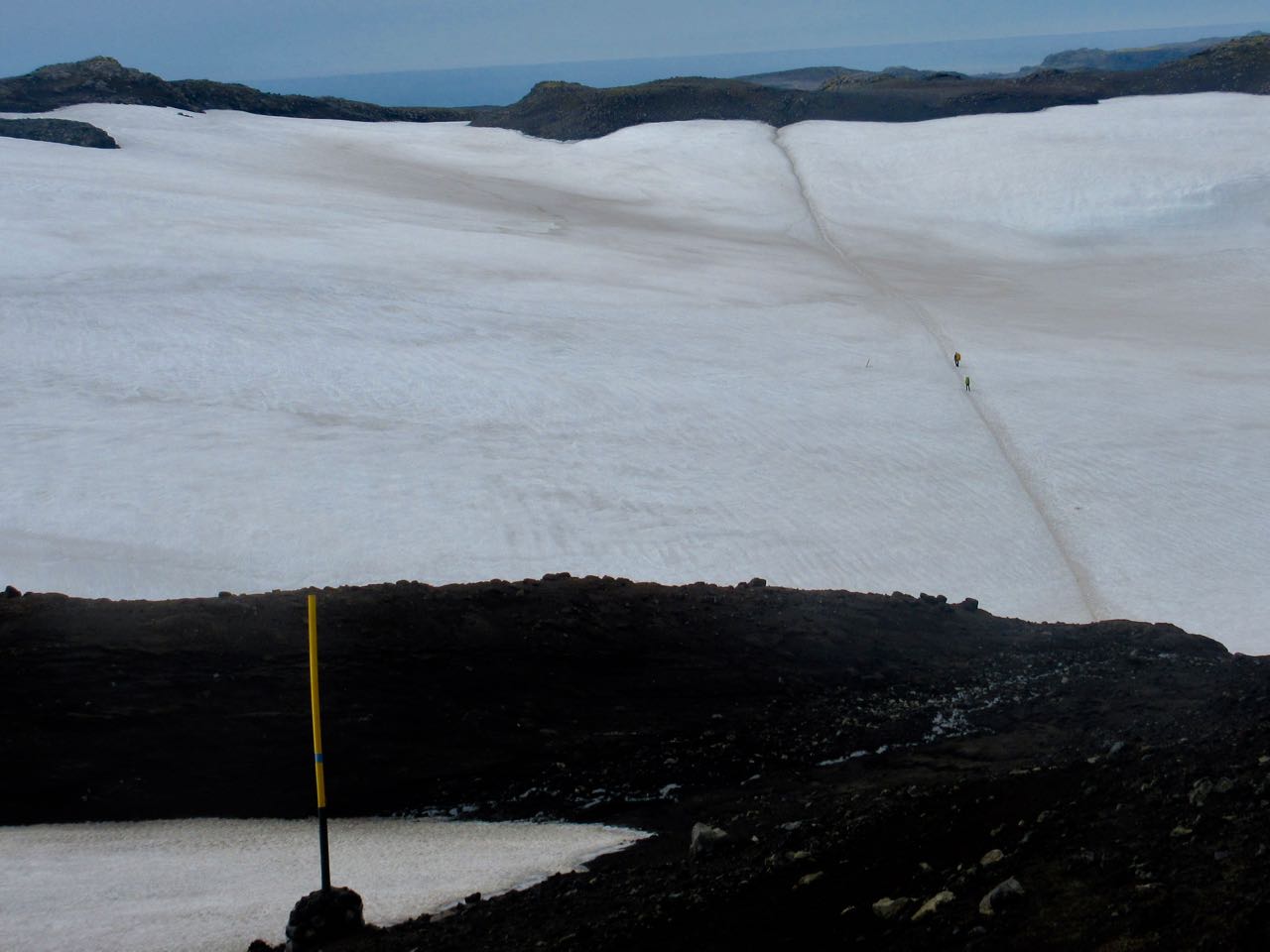
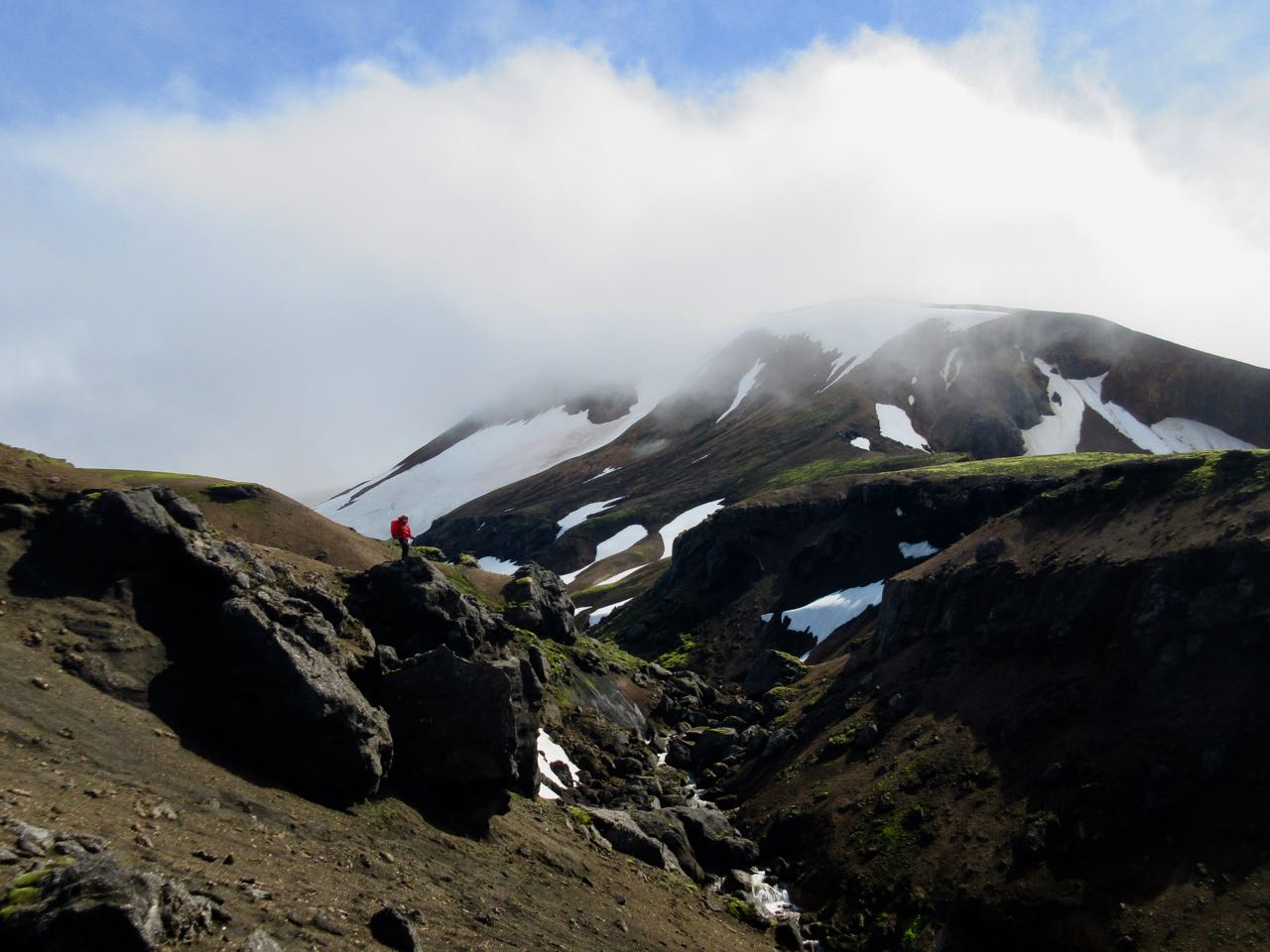
Here I was psyching up for the 900m climb to Fimmvörðuháls pass.
I knew it could be a long, tough day climbing to the icefields up on a high plateau. It’s the most glaciated section. But at least there are NO RIVER CROSSINGS!
The ascent was quite easy, as it turned out.
What’s this?
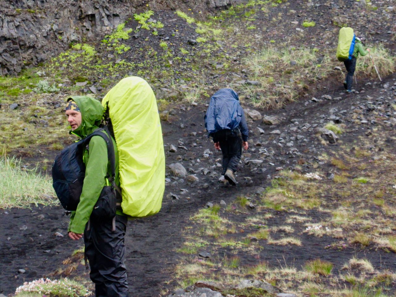
These were the first hikers I saw coming the other direction. Doing this with a day pack is quite popular.
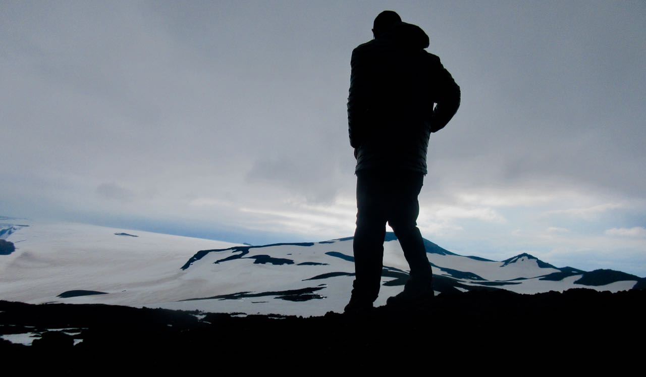
Stunning views.
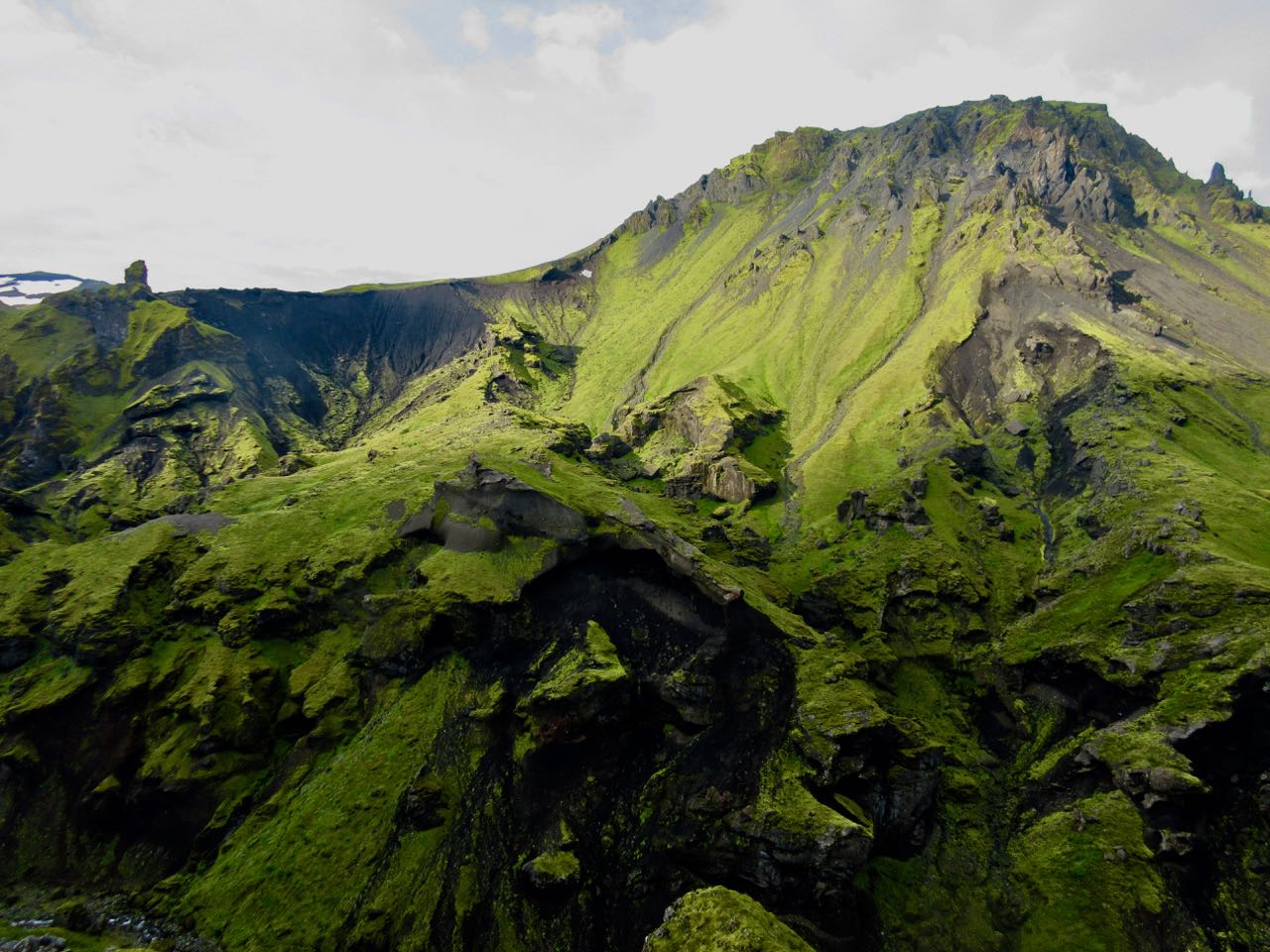
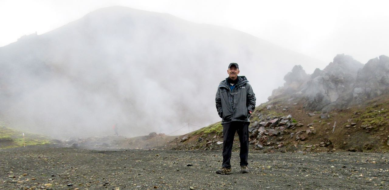
Recall the 2010 volcano that disrupted air traffic all over Europe?
This is it. You walk that massive lava flow.
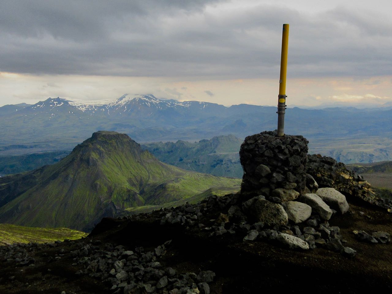
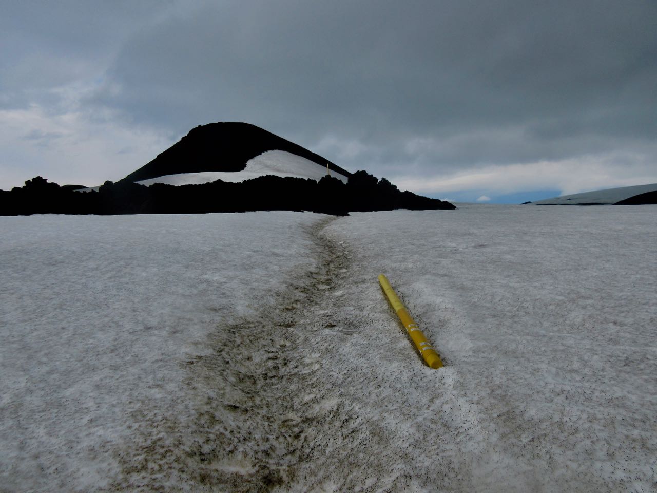
Moodi and Magni (Thor’s sons) are two summit cones pushed up in 2010.
Magni
Everyone climbs Magni to enjoy the 360 degree view.
One worry late in the season is the snowfields turning to slush. Or water.
Happily, it was still good walking for me on July 29th.
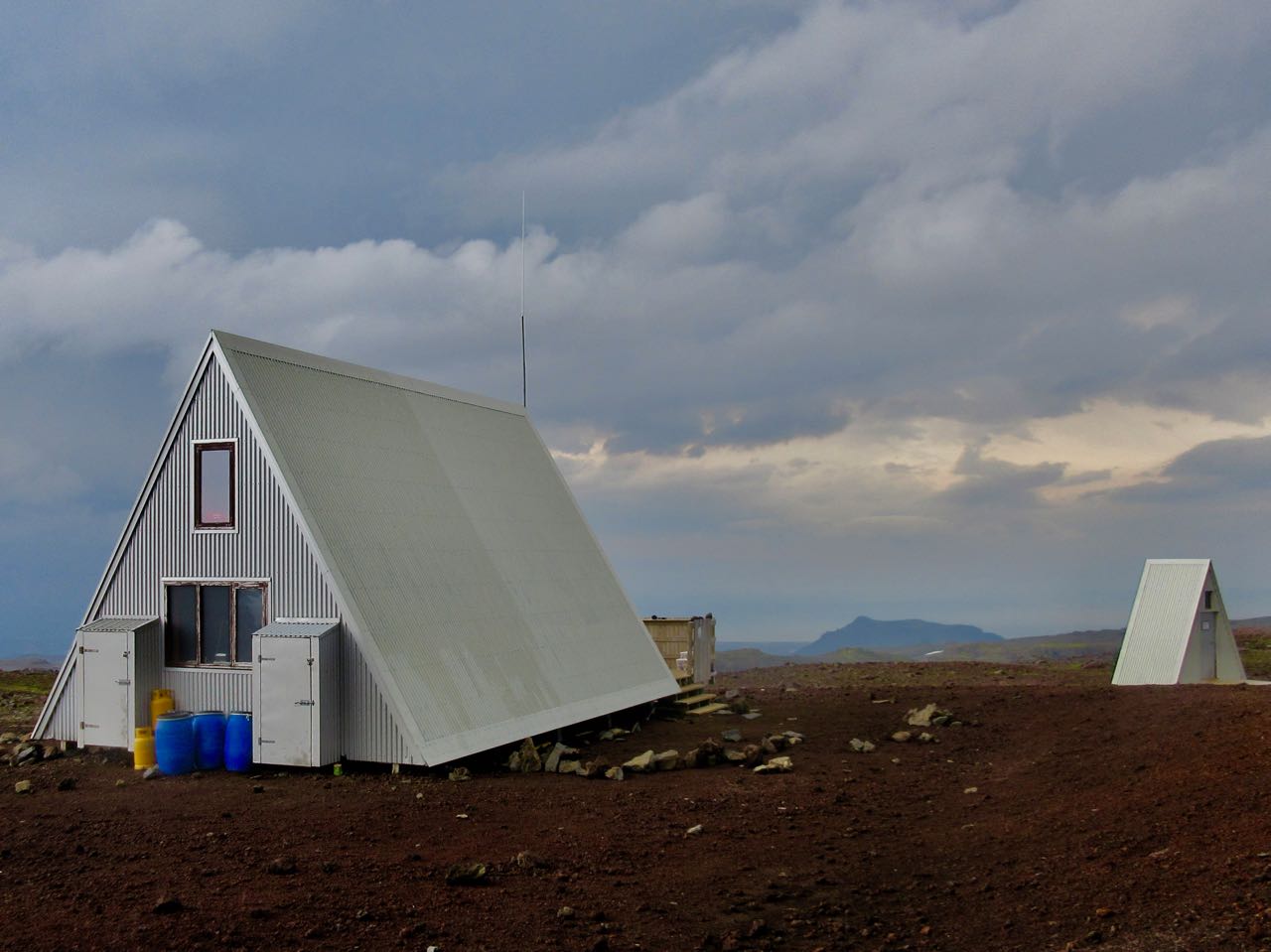
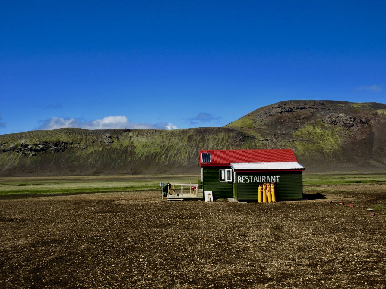
Baldvinsskali is a small emergency hut en route. Hikers are allowed to escape the wind and elements if needed.
My only complaint about this hiking day is some road walking on the way down. I’d prefer they make a parallel walking trail.
How far to Skógar?
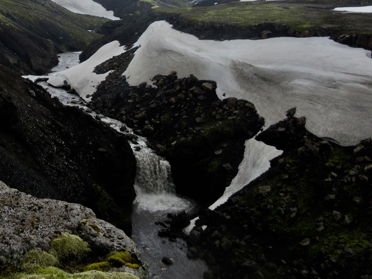
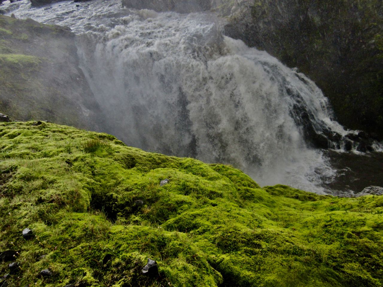
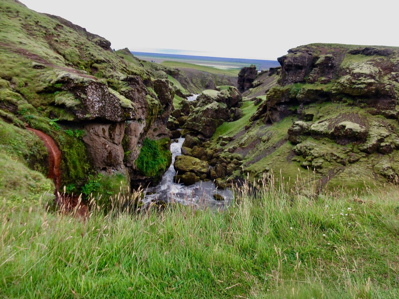
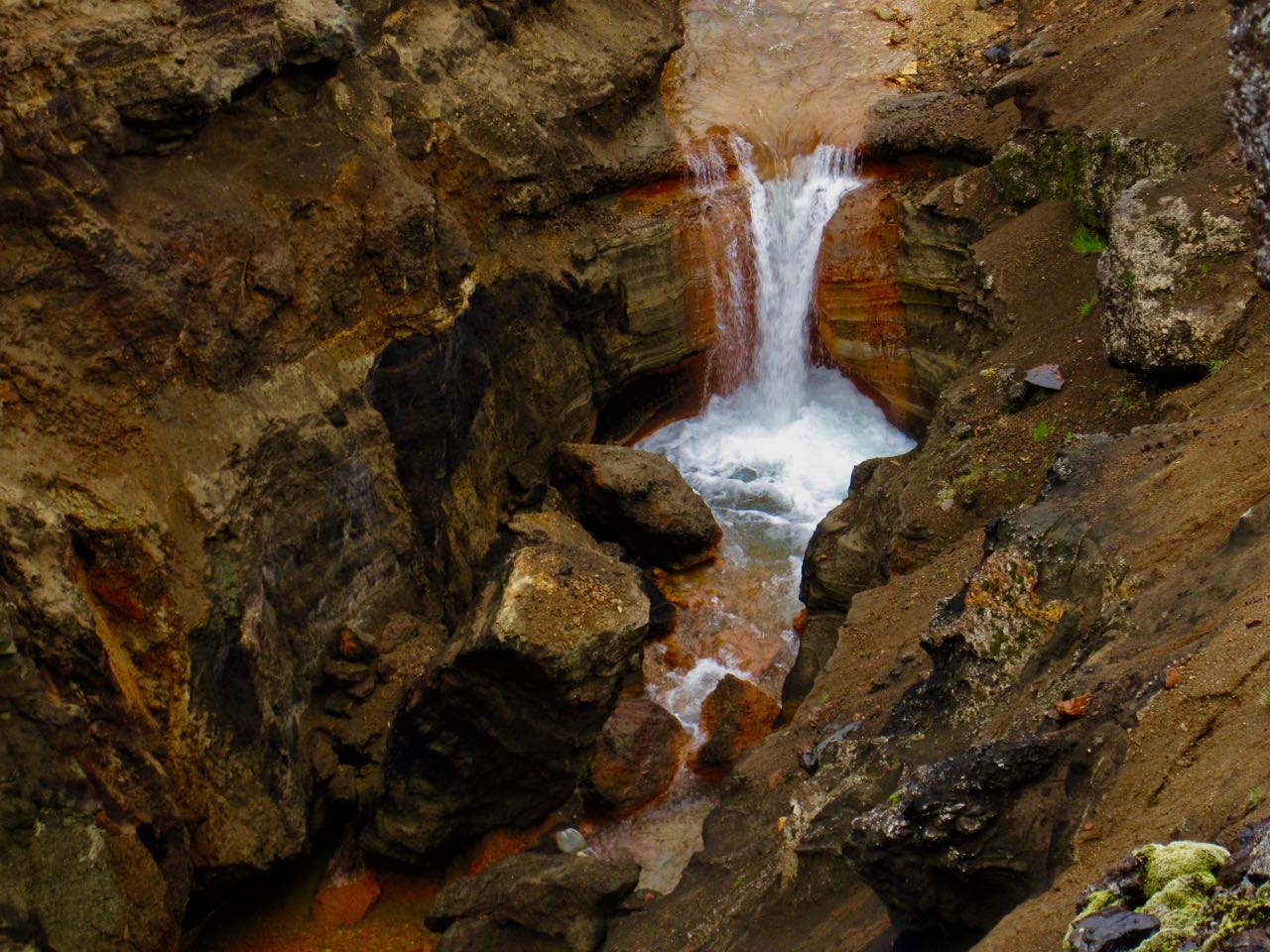
Waterfalls begin.
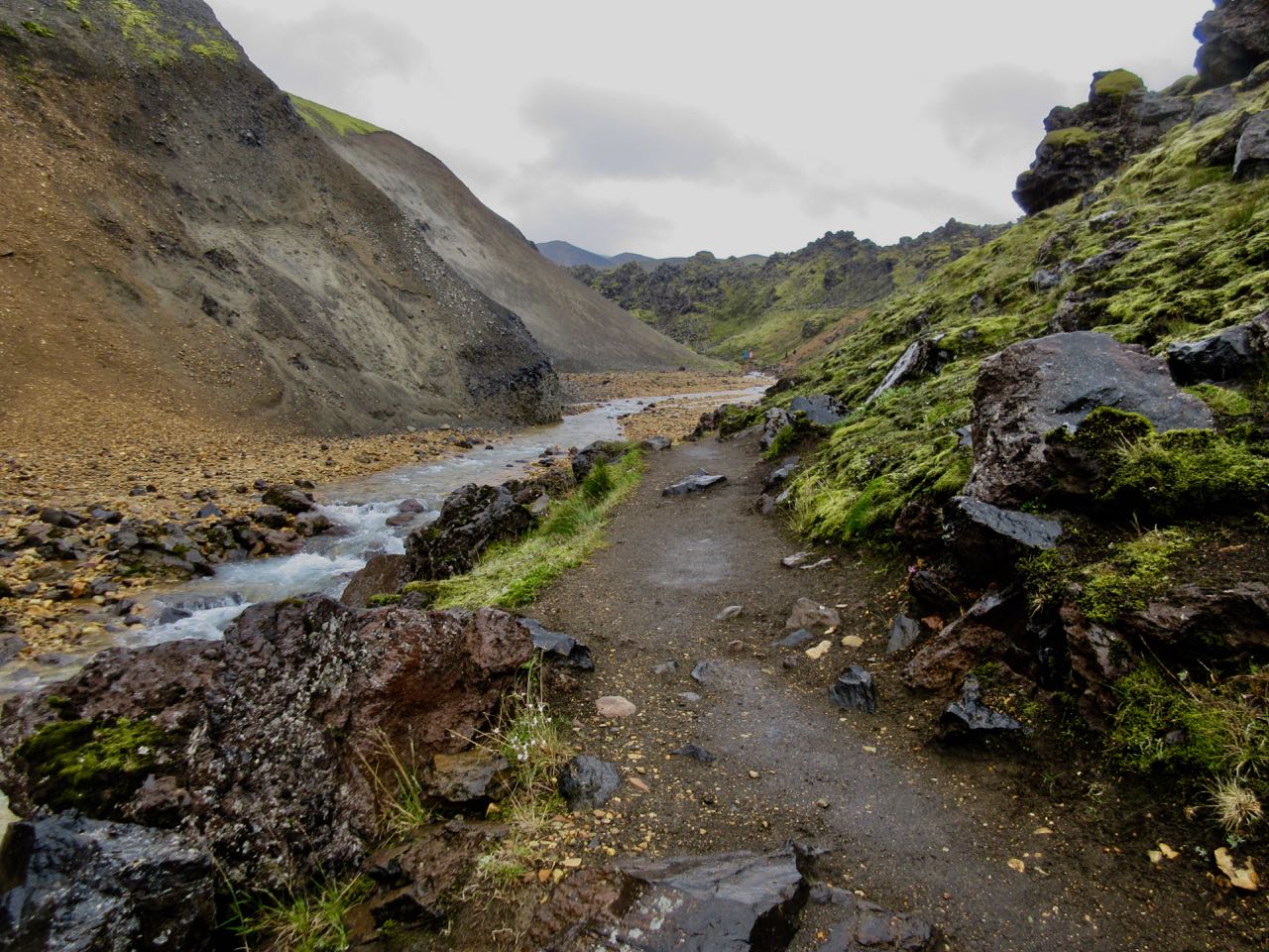
The trail follows the river down.
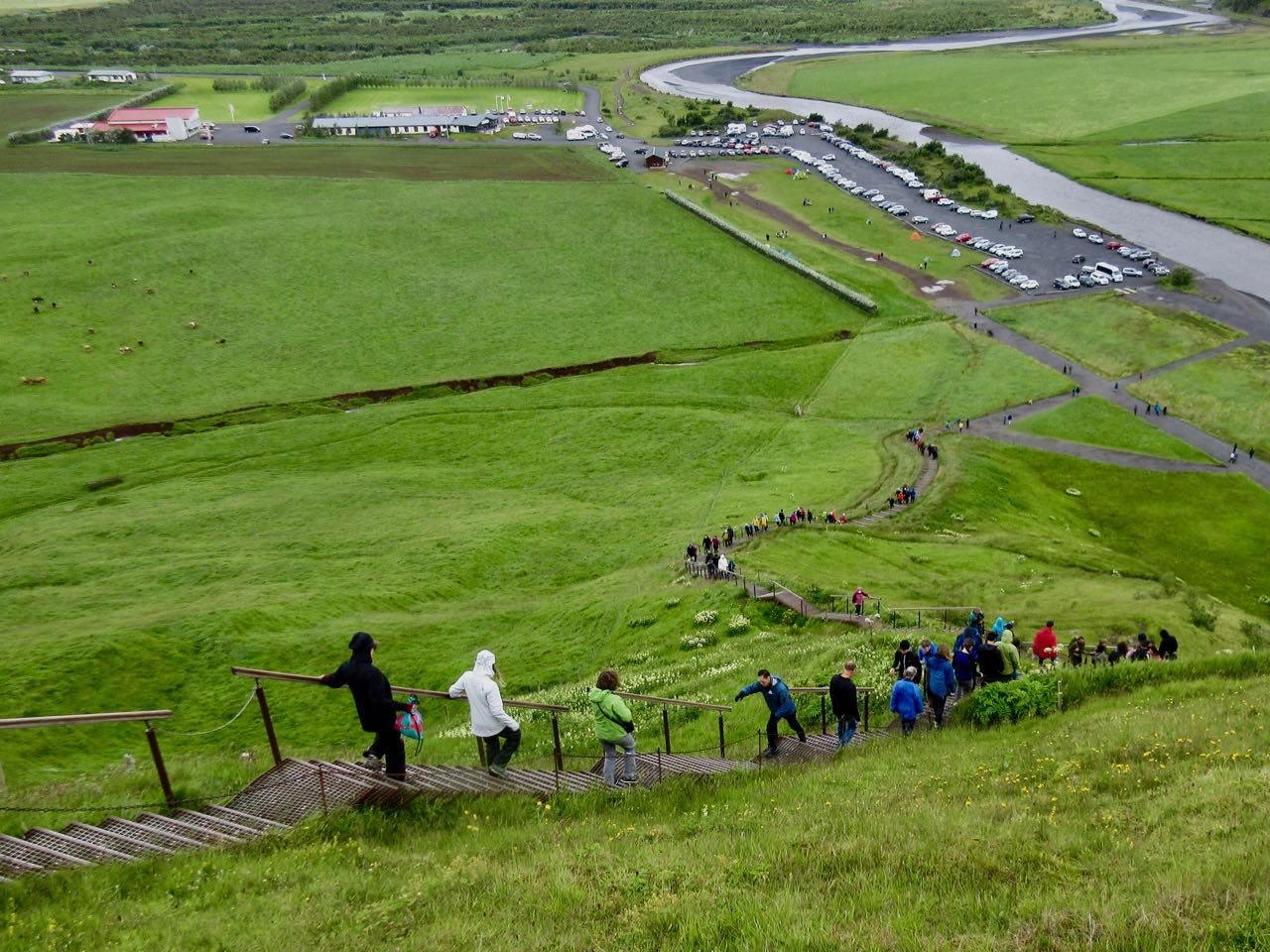
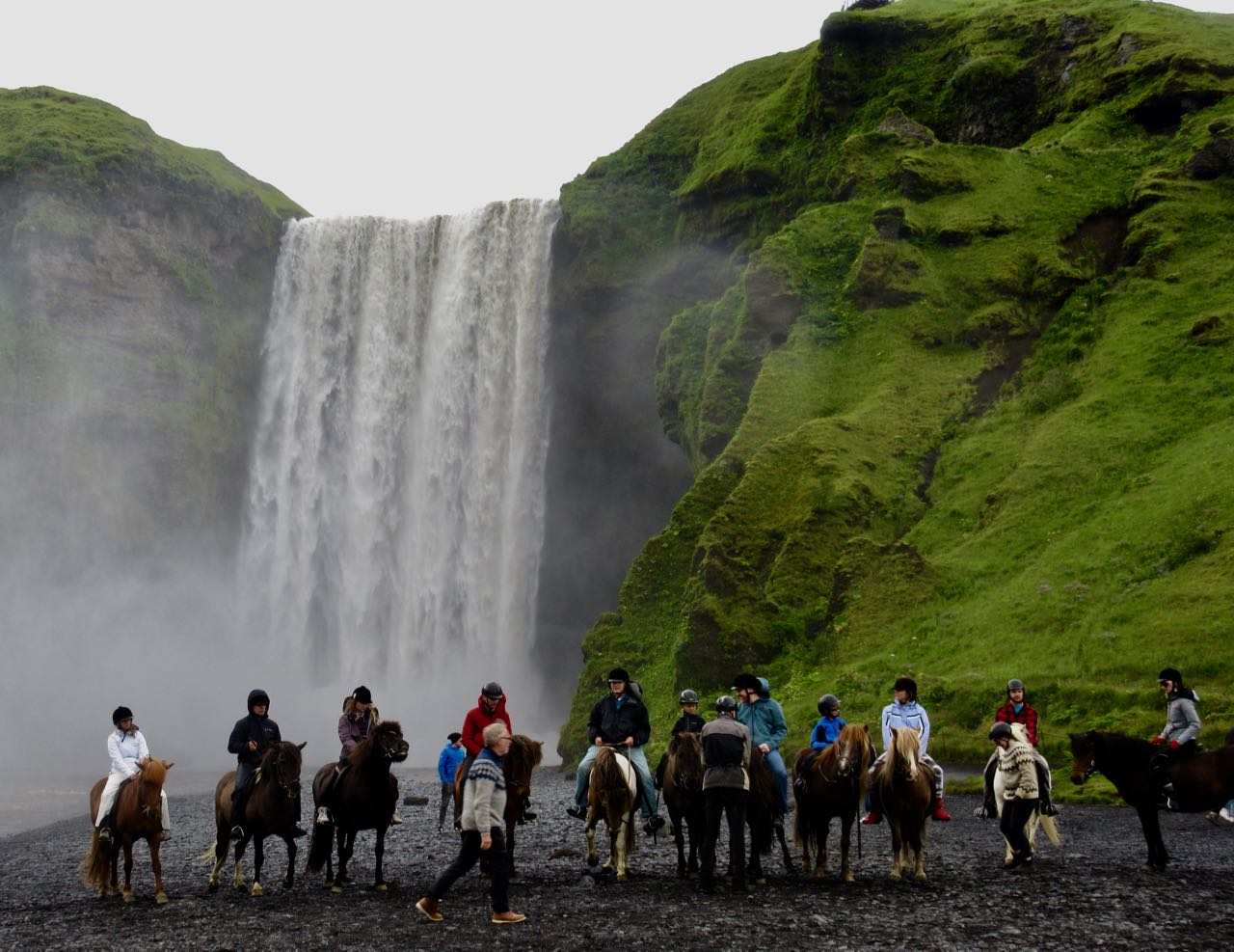
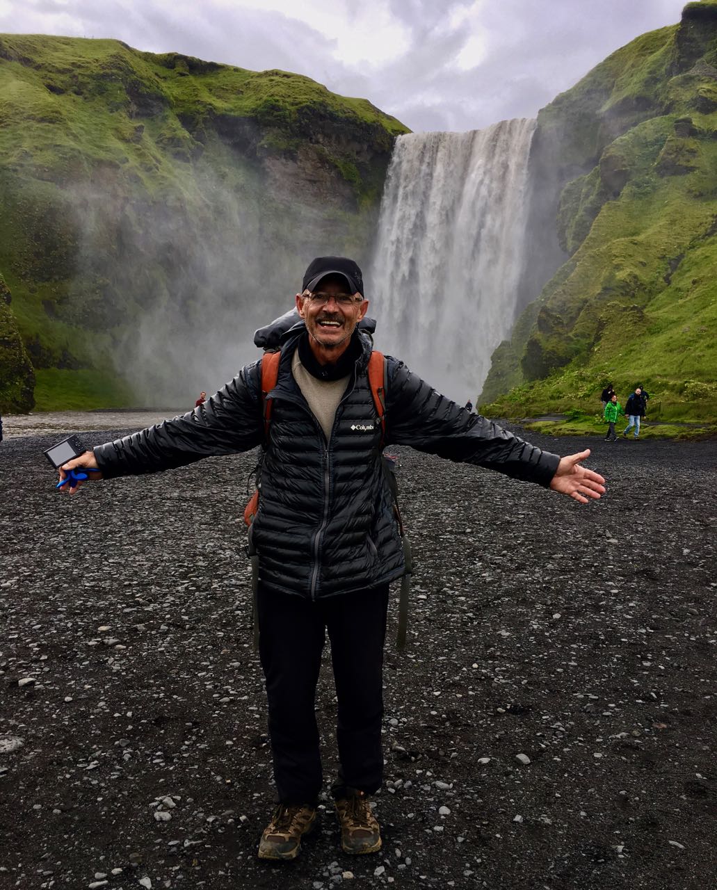
Every tourist to Iceland visits the falls at Skógar.
Made it!
About half way through the day I’d decided to bus back to Reykjavík, if I could. Mark was shooting photos at the base of the falls. I bought a ticket on his bus.
You could stay over. Skógar has a hostel and camping. As well as several restaurants.
Hoping to make a huge day, I was one of the first to leave camp. In the fog.
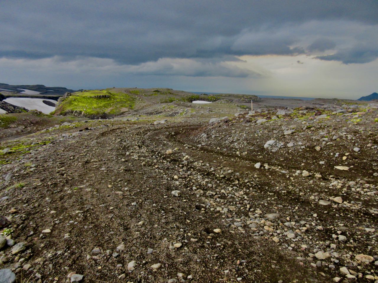
Bleak and flat to start.
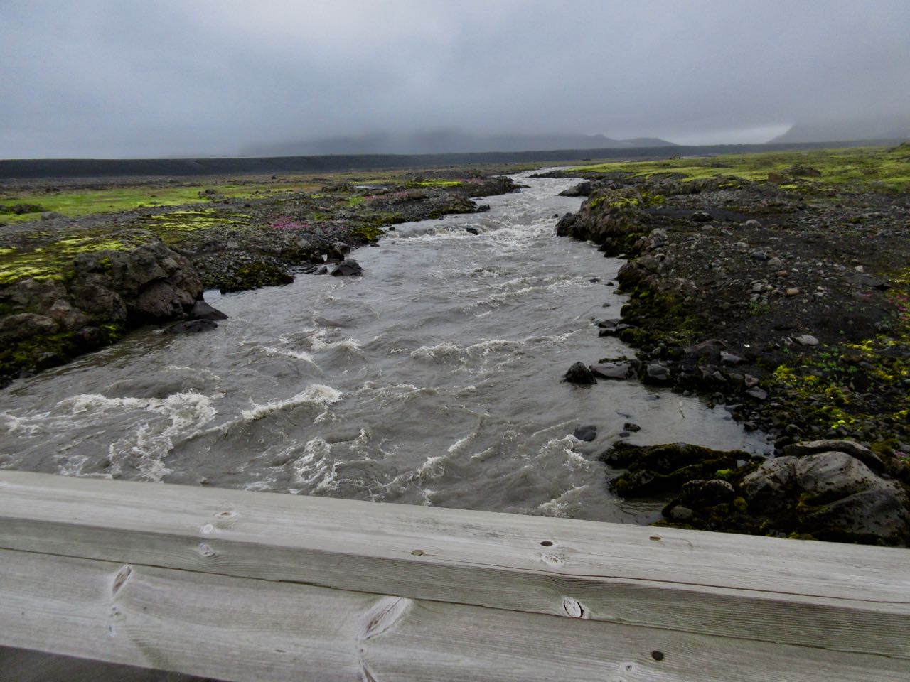
Bridge! Thank God.
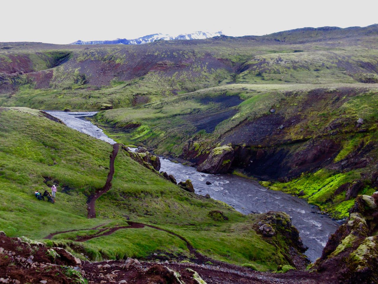
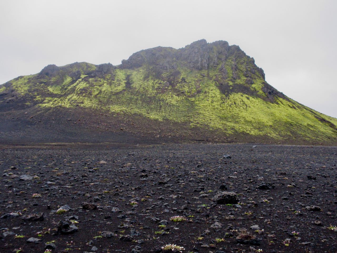
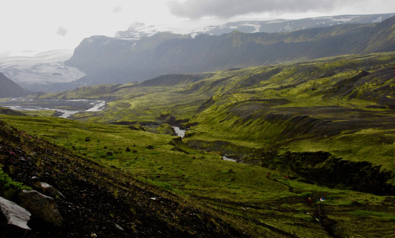
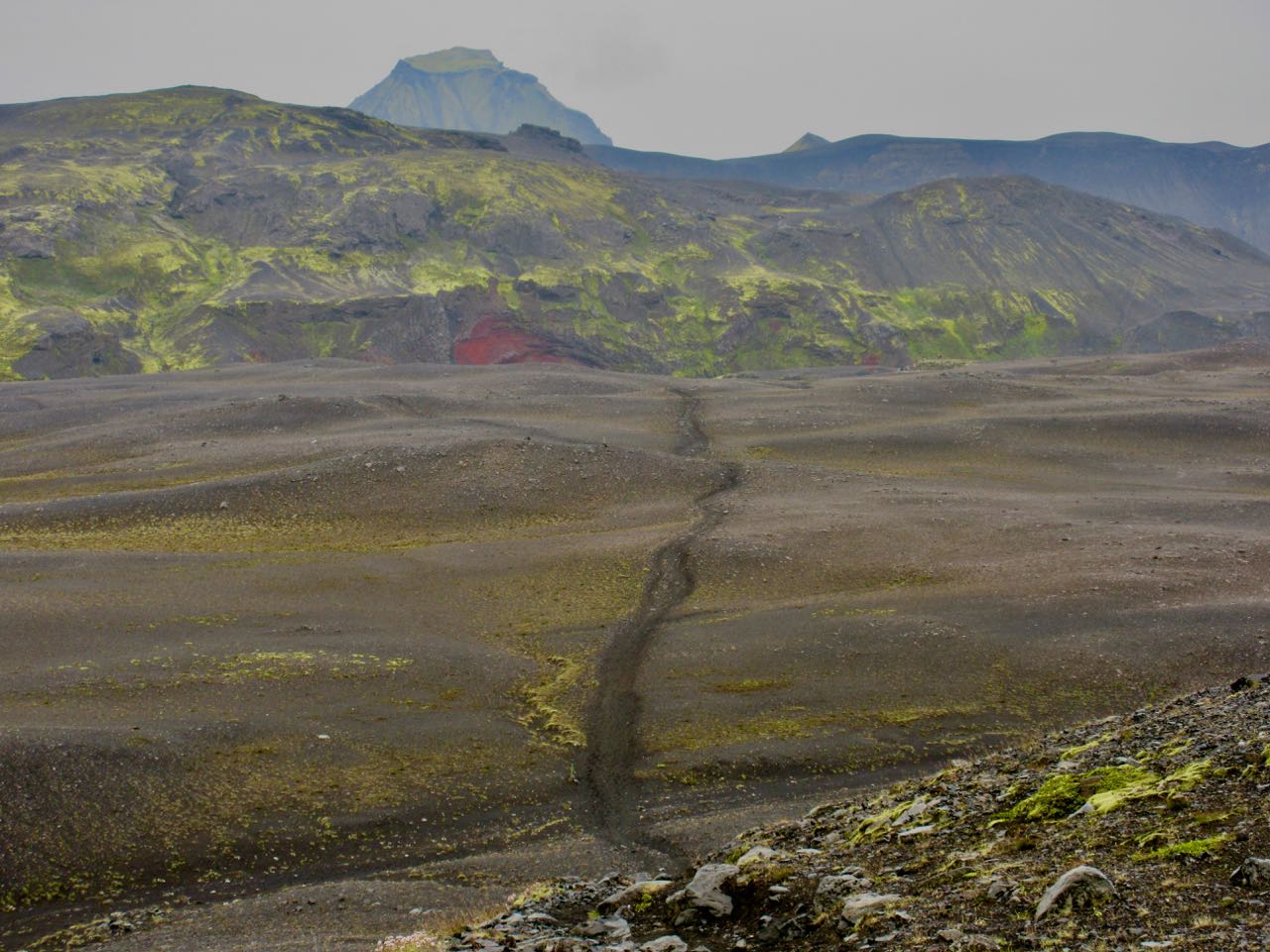
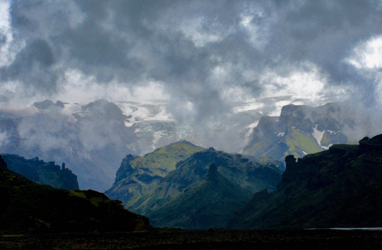
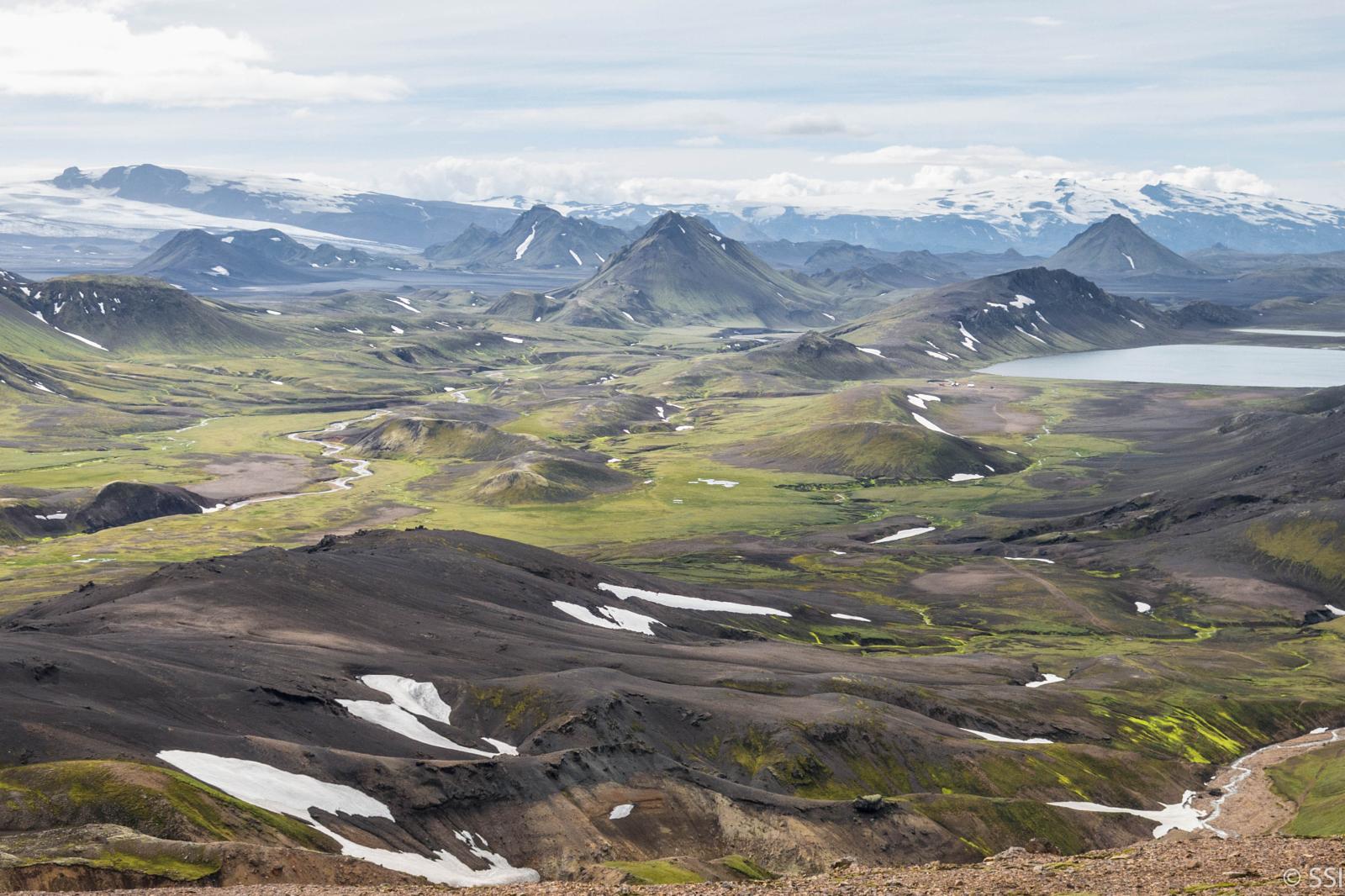
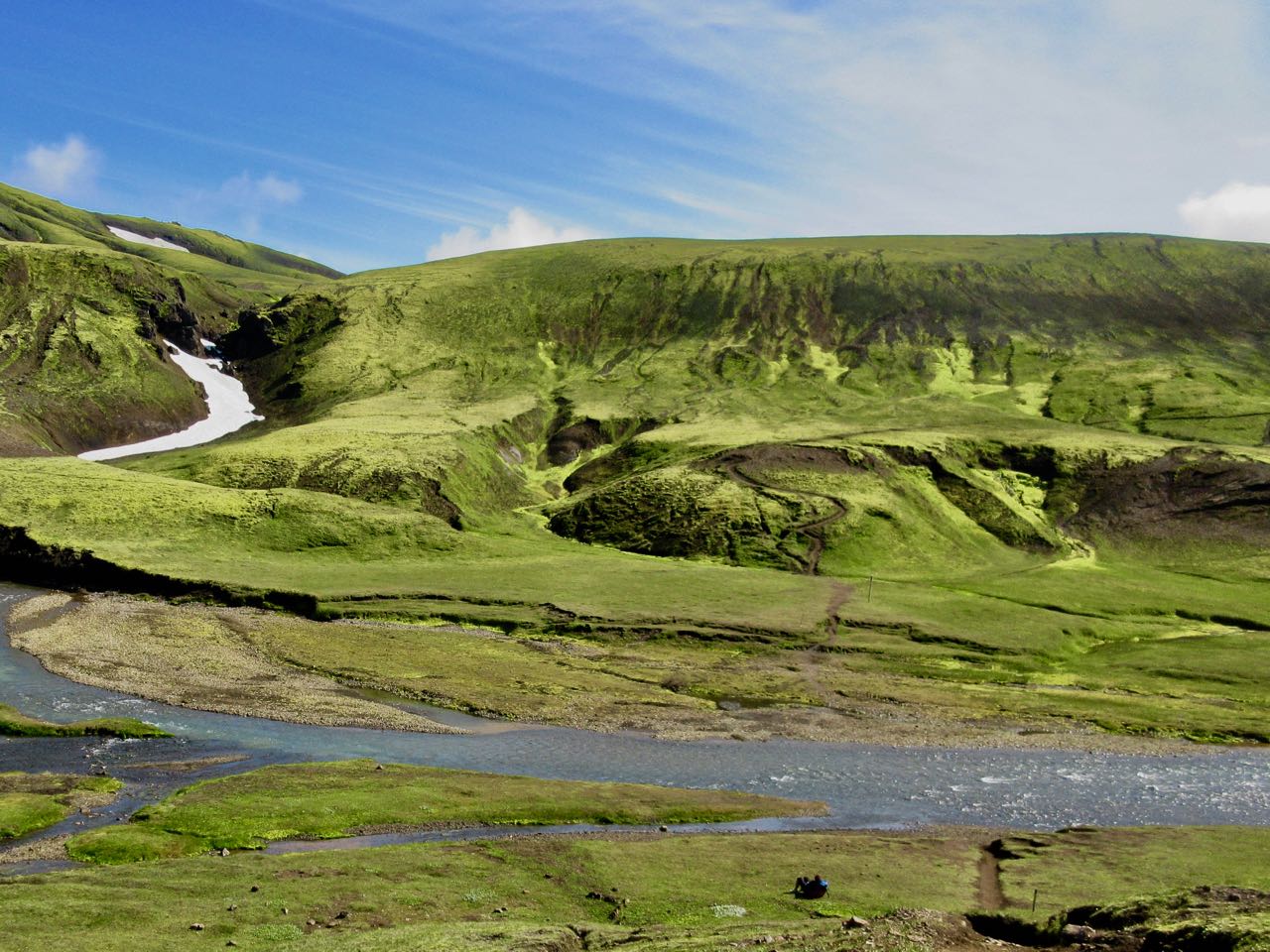
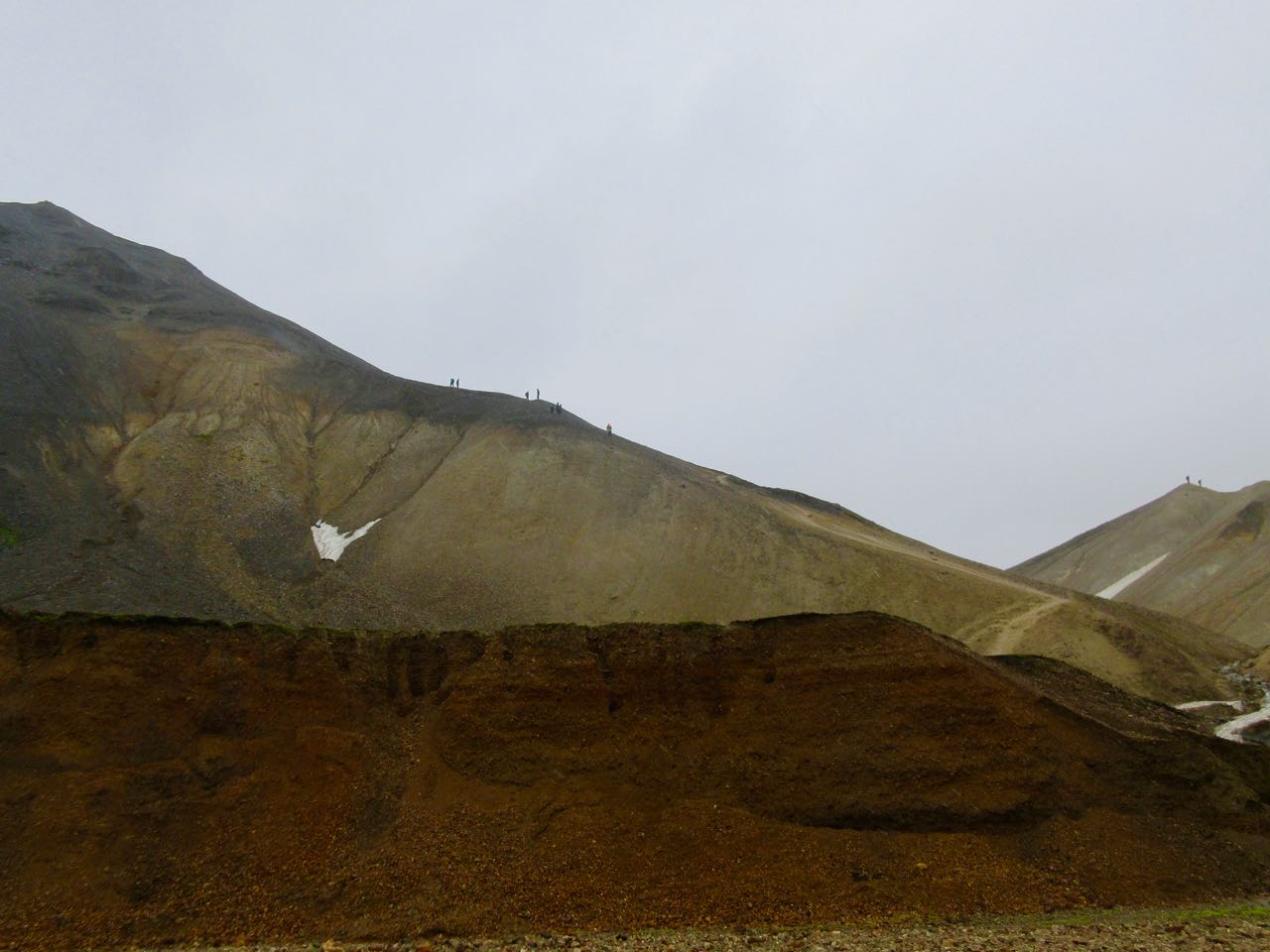
What an epic landscape!
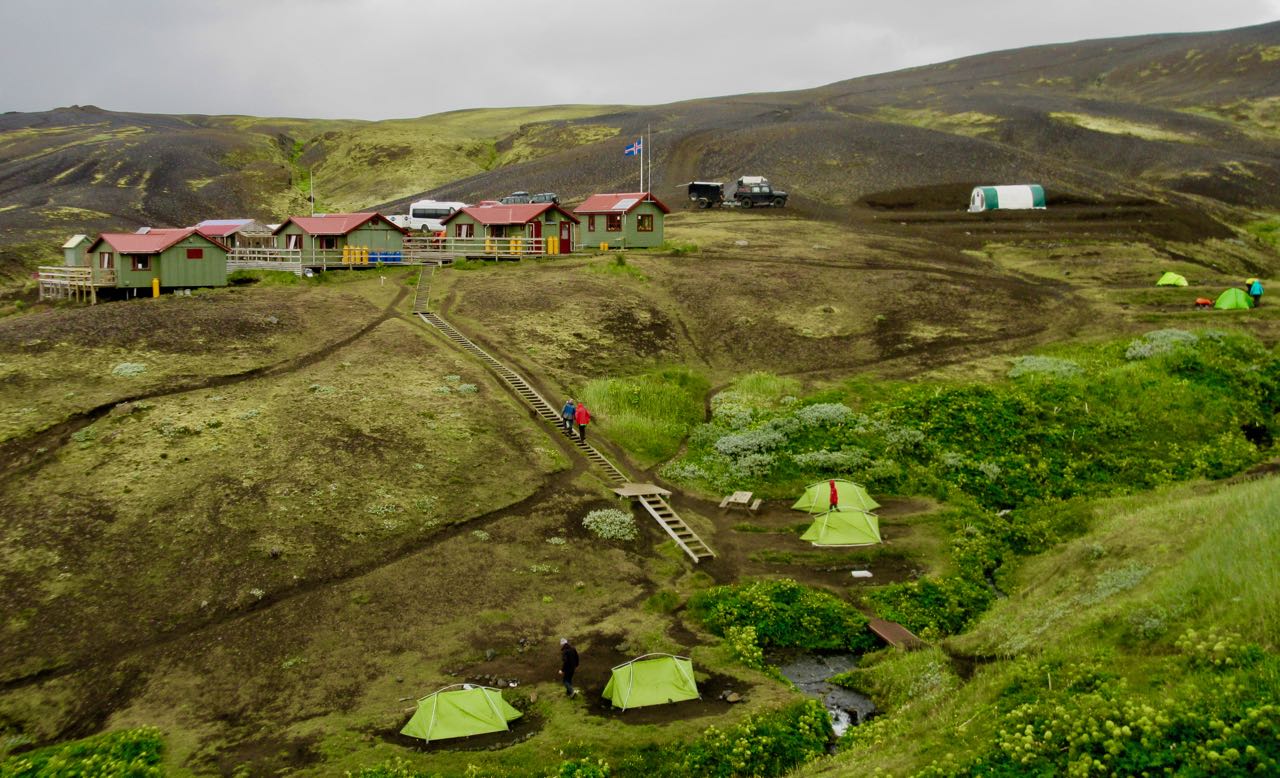
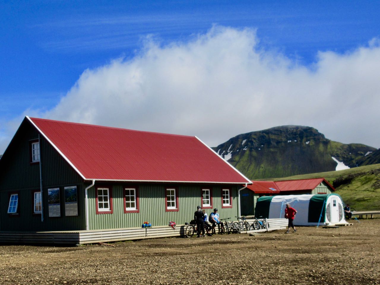
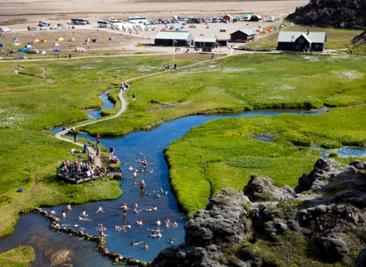
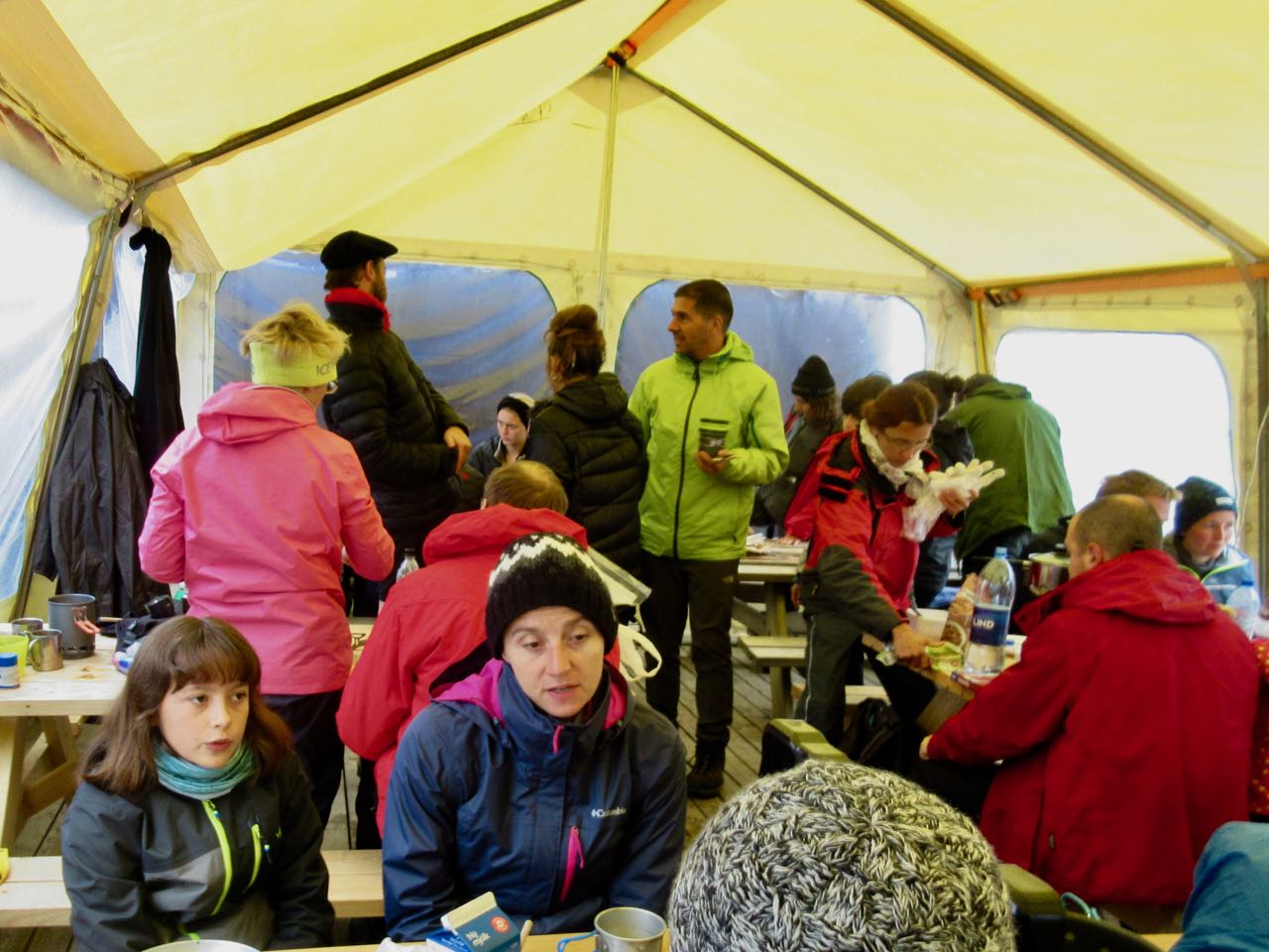
Quite quickly you arrive at this pretty tourist area built 1995.
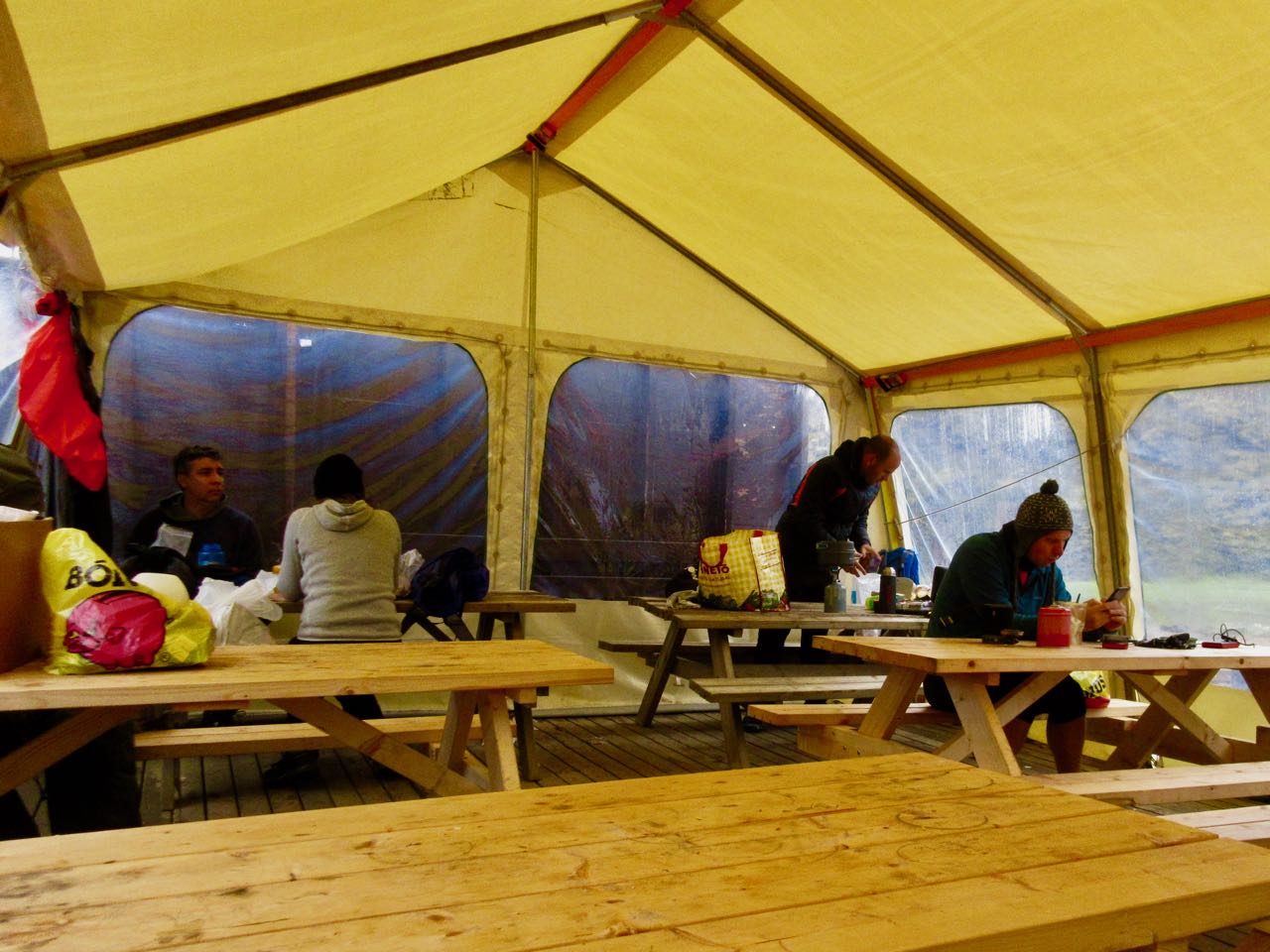
I had some hot brunch in the cook tent. Then moved on quickly. Some stop here to climb one or two summits as day hikes.
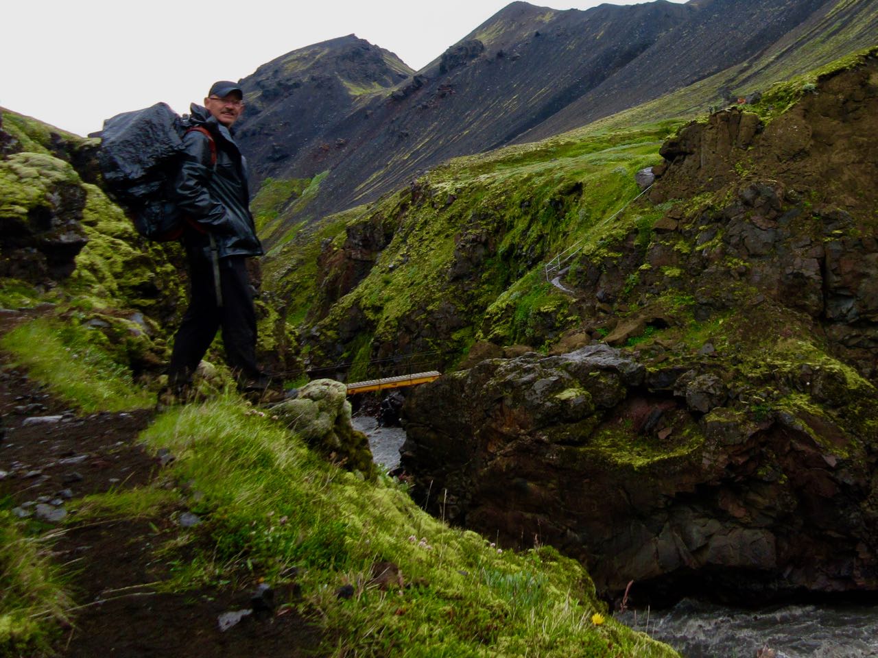
More bridges!
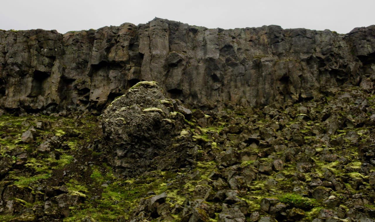
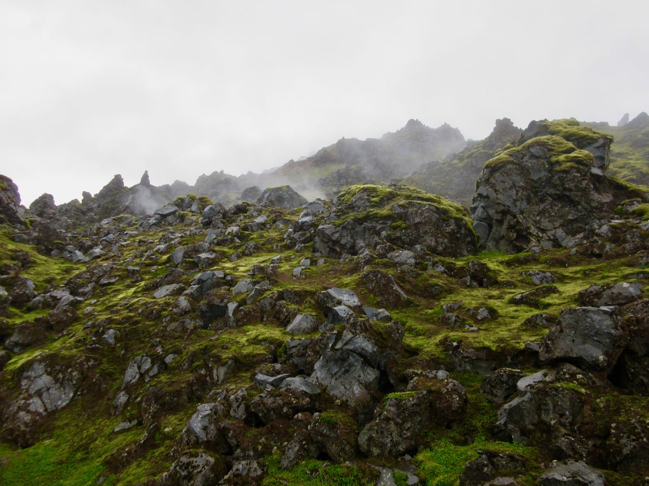
Interesting geology at every turn.
I was missing that brief bit of blue sky from yesterday. Everyone wore their rain gear today.
This is volcanic ash. Worse than sand, it gets into everything.
Oh my. This is amazing.
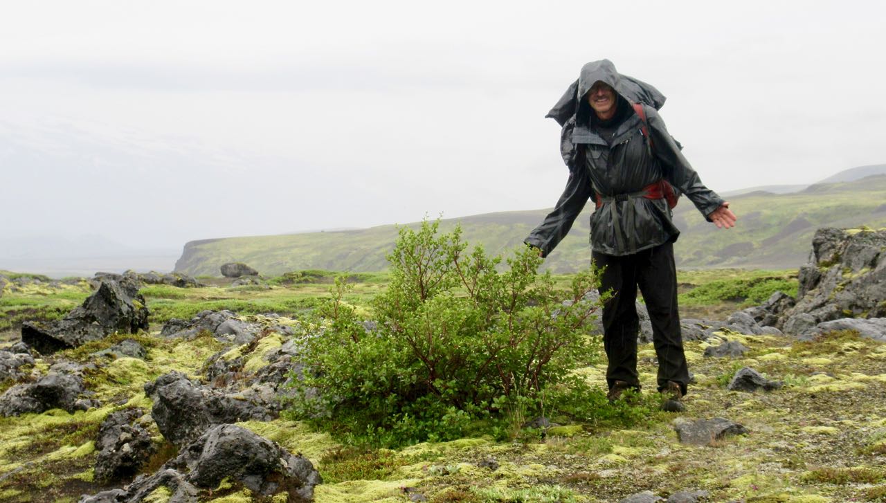
My first … tree !?
Trees are rare in Iceland. But there are plenty in Þórsmörk (Thorsmork)… Thor’s forrest.
(Iceland was actually 25% forested at one time. Timber cutting resulted in only about 1% remaining.)
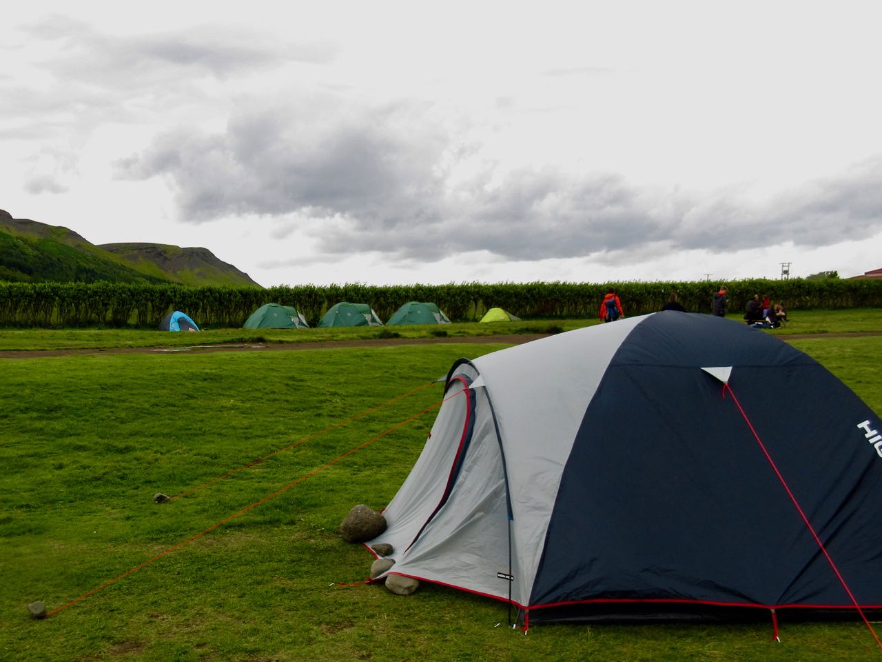
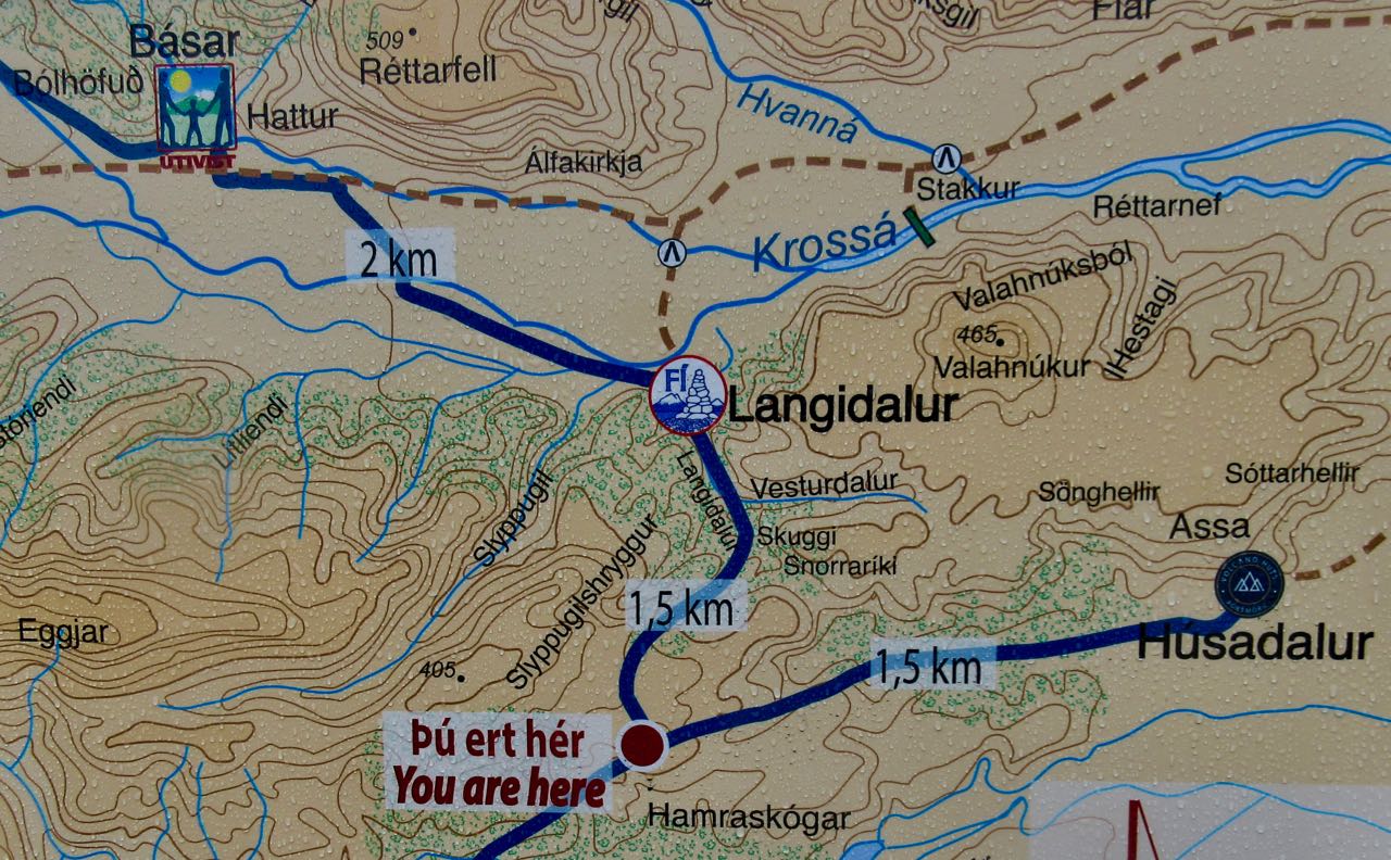
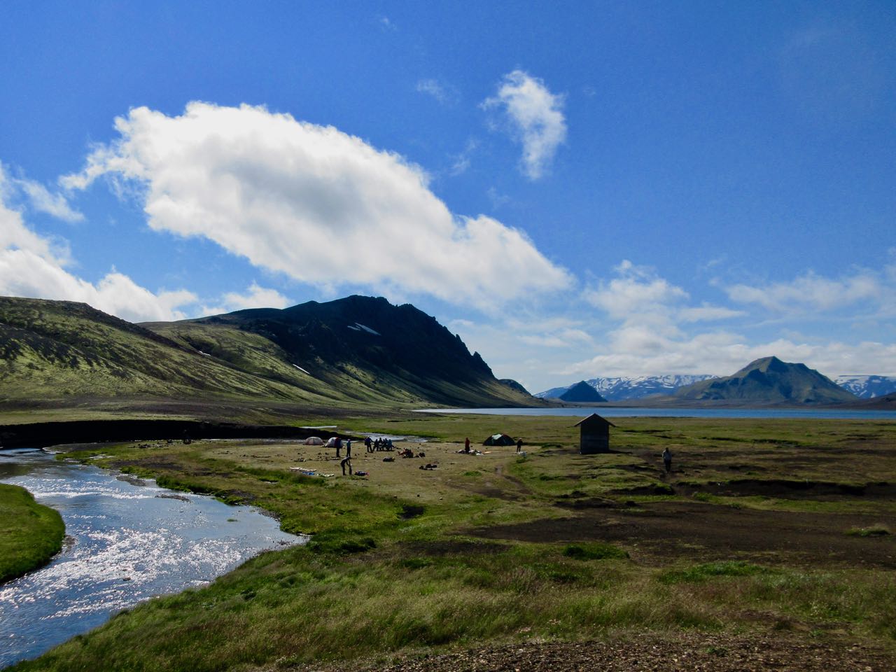
When you finally arrive Þórsmörk you need choose between 3 separated campsites: Húsadalur, Langidalur or Básar.
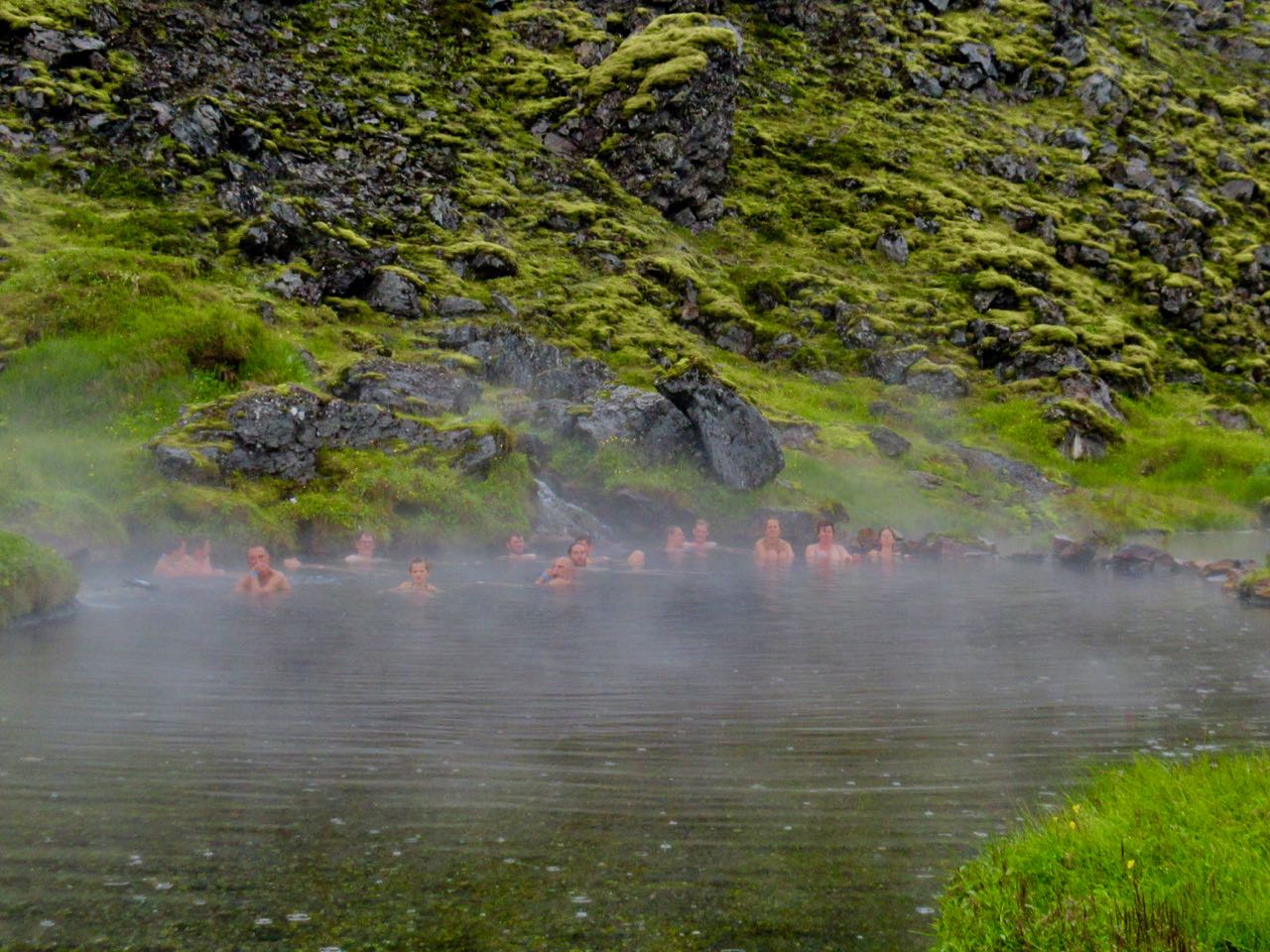
Husadalur is biggest and has a natural hot springs.
But if you plan to continue hiking next day to Skógar, Básar is the best choice. It’s closest to the exit trail for next morning.
That’s where I headed.
Langidalur is pretty, however. The tenting looks superb.
I met again two Canadian women waiting for the bus. They’d had enough of rugged Laugevagur. Here’s the vista that dissuaded them from climbing up to the glaciers next day.
It does look intimidating.
If you do decide to linger at one of the 3 campsites, there’s even more day hiking here than at Landmannalaugar
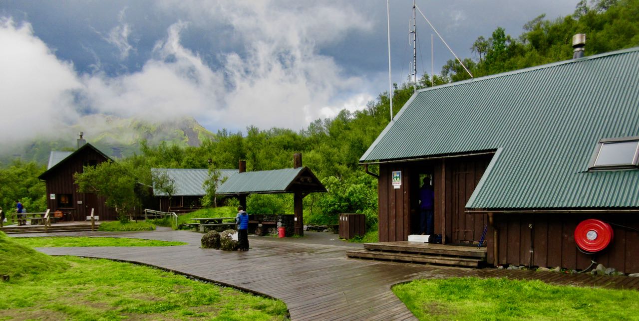
Básar is sprawling. Busy with campers and day hikers.
I asked for advice on a quiet tent spot.
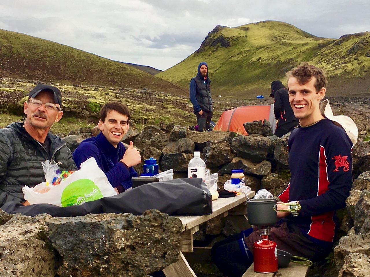
While I was eating dinner Mark from Boston arrived.
He and I were the only two from the start who had made it this far, this fast. We both planned to get an early start next day and finish to Skógar. It would be the toughest and best day of all.
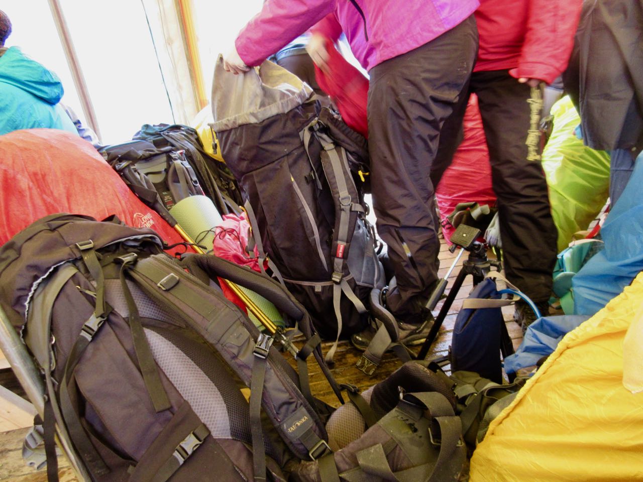
Sharing a room in a hut with dozens of strangers, I snuck out early for coffee. And to kind of organize my pack out of the rain.
Somehow I left behind my river shoes. And a jar of peanut butter. ☹️
The weather was no better but I certainly wasn’t going to wait another day at Landmannalaugar. It was go … or catch the bus out.
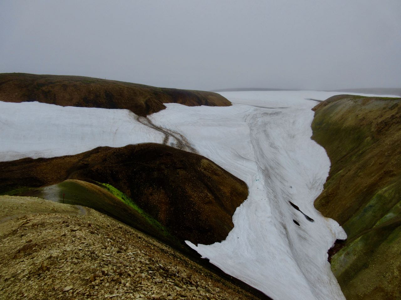
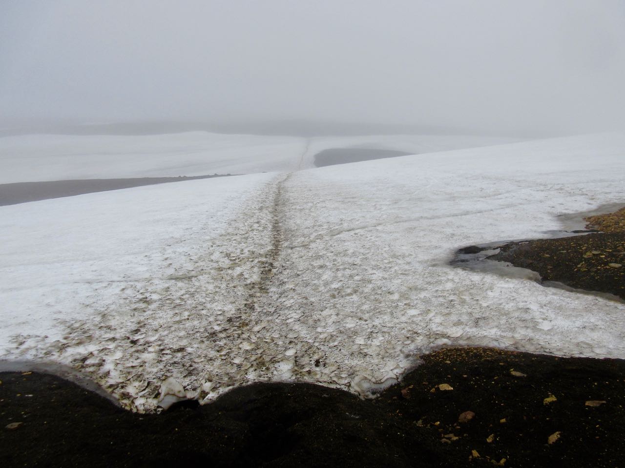
UP past the fumaroles and quite quickly on to snowfields.
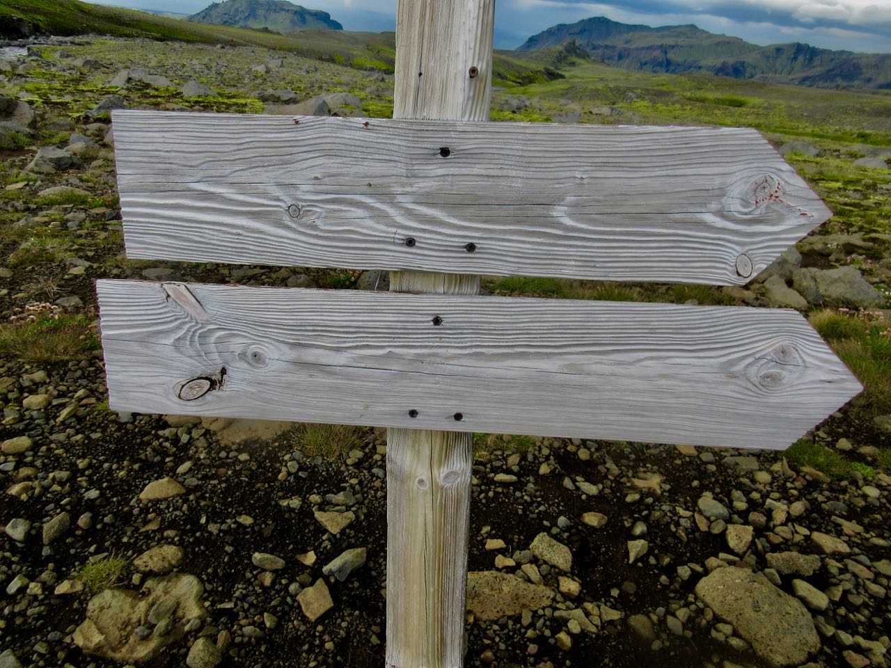
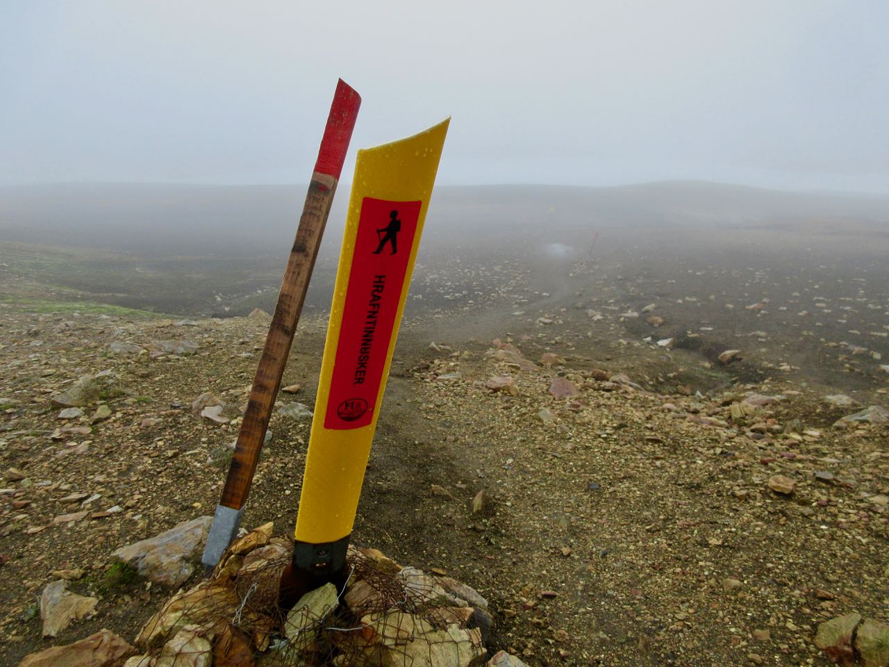
The trail is well marked … IF you have visibility.
In 2004 Ido Keinan, a 25-year-old hiker from Israel, got caught in a late June storm and died of exposure only 1km away from the hut in Hrafntinnusker. Wardens at Landmannalaugar warned him it was too dangerous.
He needed a GPS.
Glaciers cover 11% of Iceland. Lava fields and deserts about 60%. It’s easy to get lost.
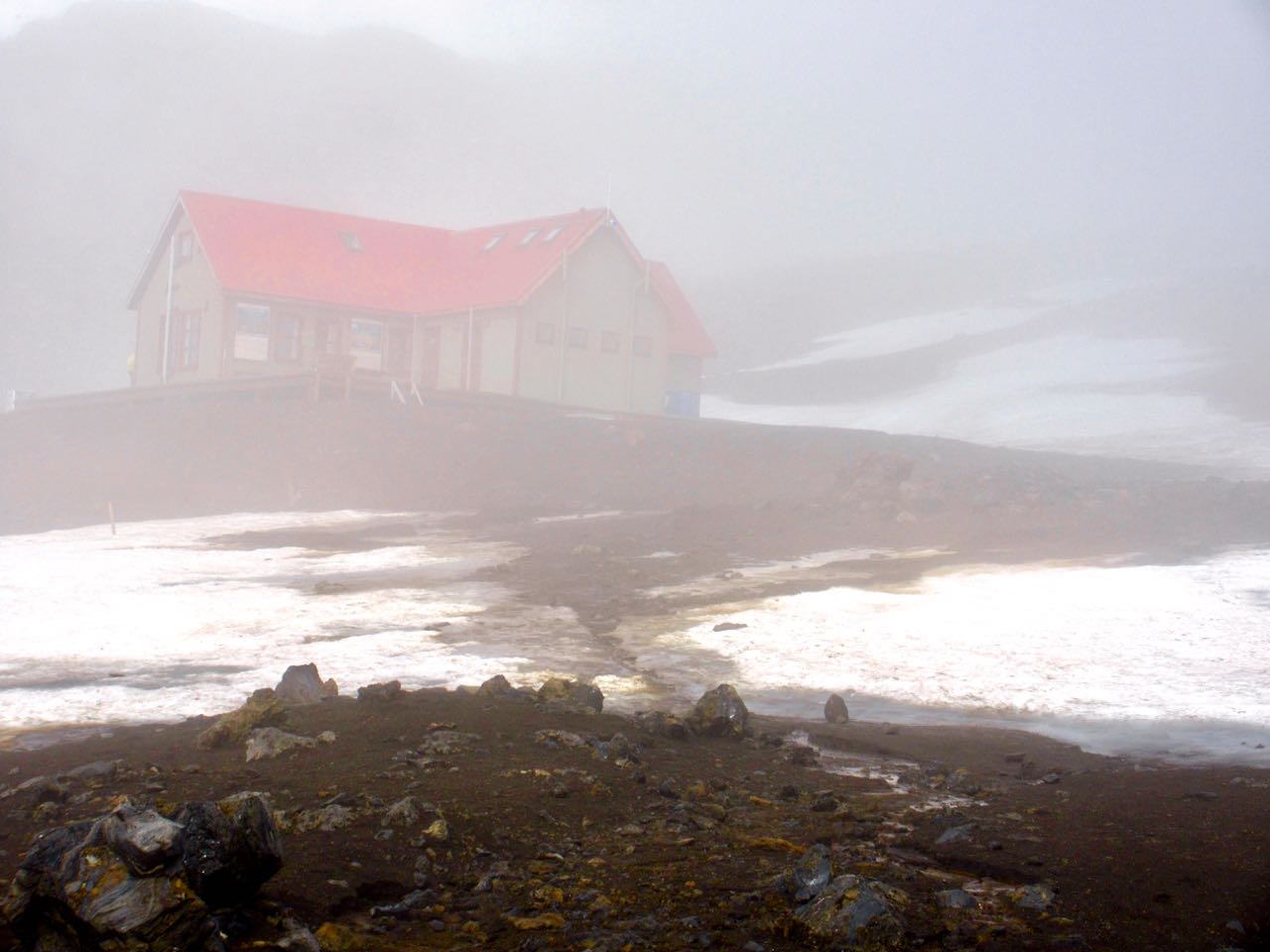
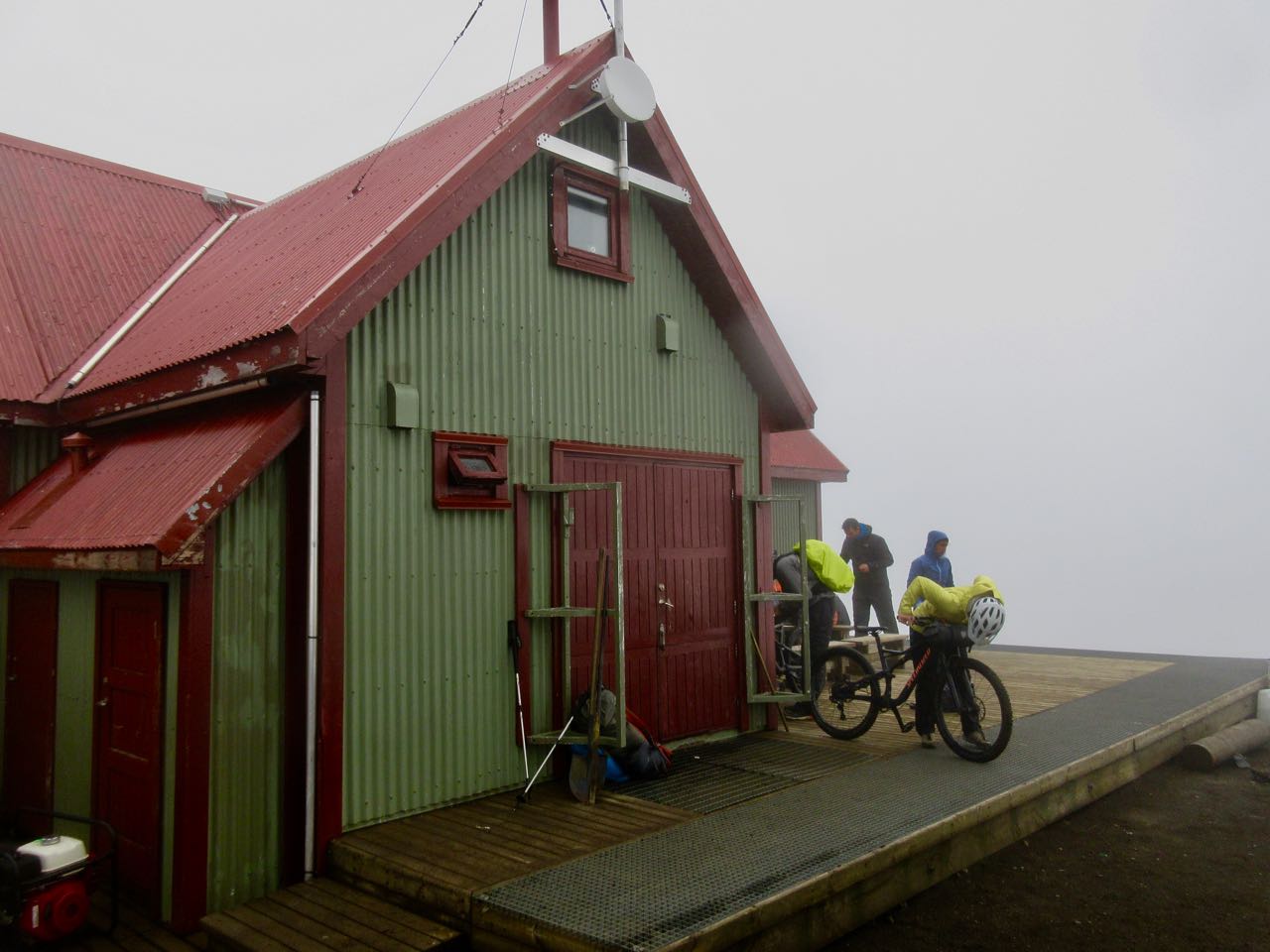
Here’s that hut. The Alaskan cyclists were just leaving as I arrived.
It only sleeps 36 so best bring a tent if you want to stop here. If the weather is cooperating, push on and over to Álftavatn as I did.
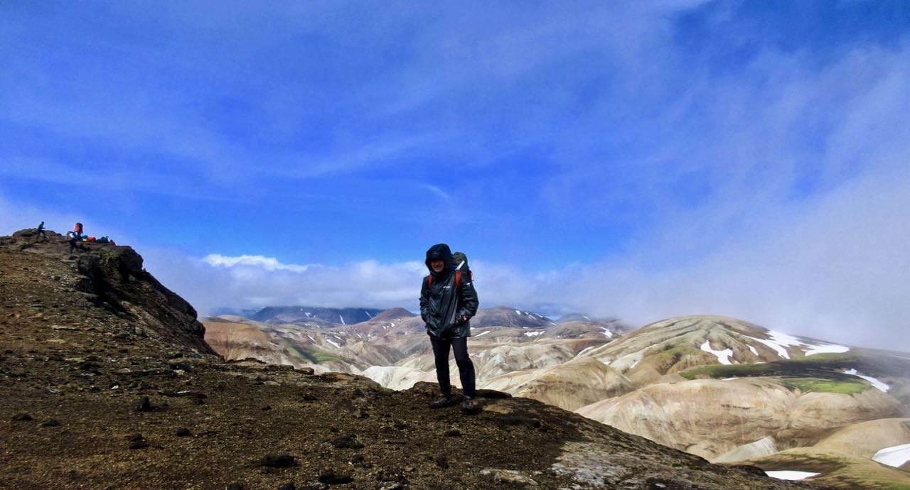
Happily and surprisingly the sky cleared. It was windy. But gorgeous.
Iceland is a dream destination for photographers. There are so many weird things to see. And the light is unusual.
Of many bizarre and wonderful volcanic features, I liked the glassy black obsidian best. Many hikers add pieces to their backpack as souvenirs.
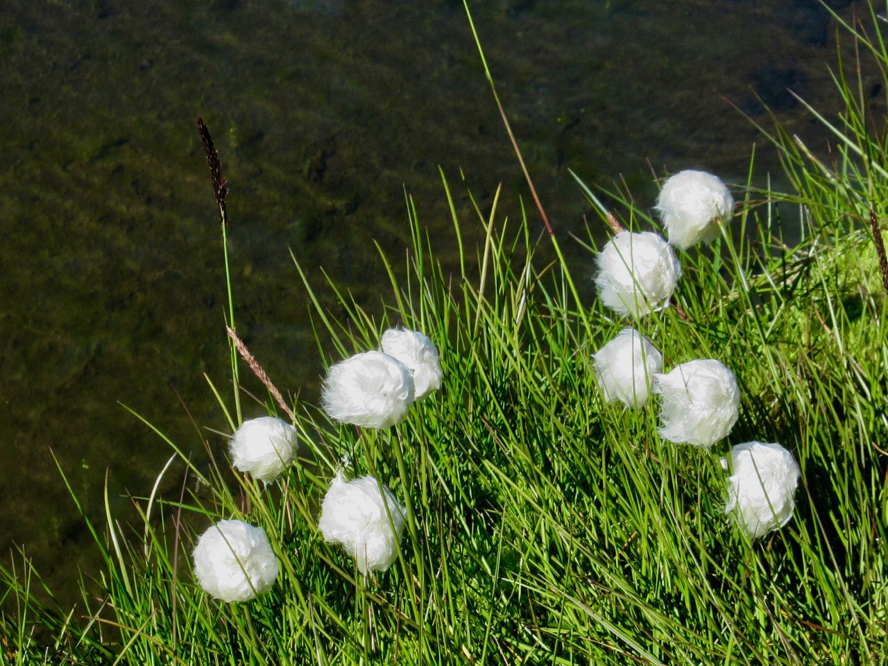
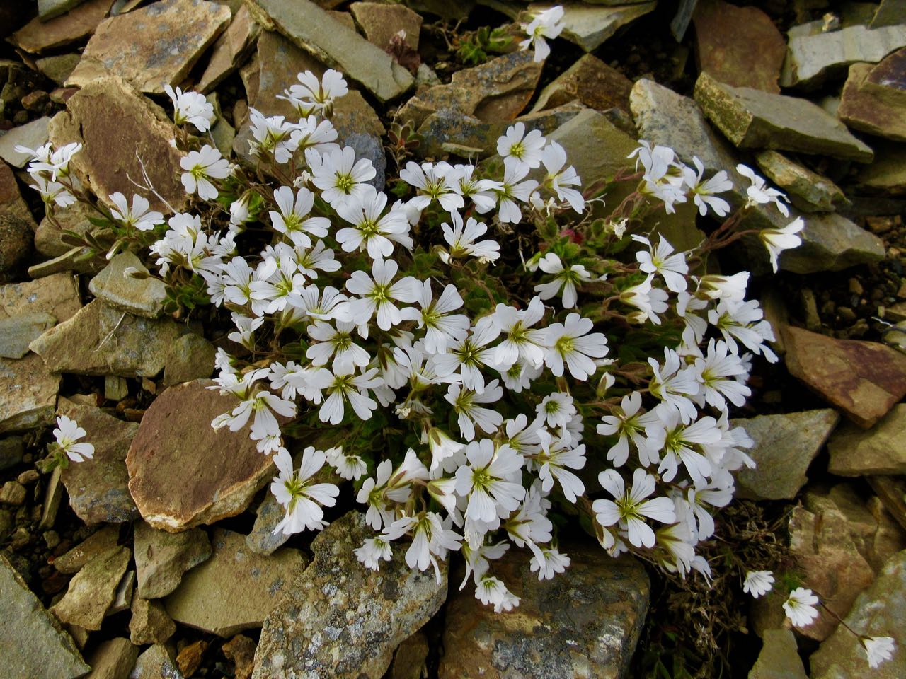
Of the plants, I liked tundra cotton best.
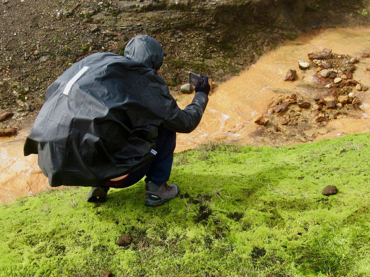
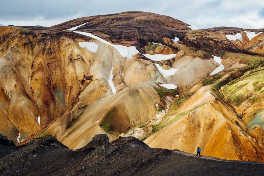
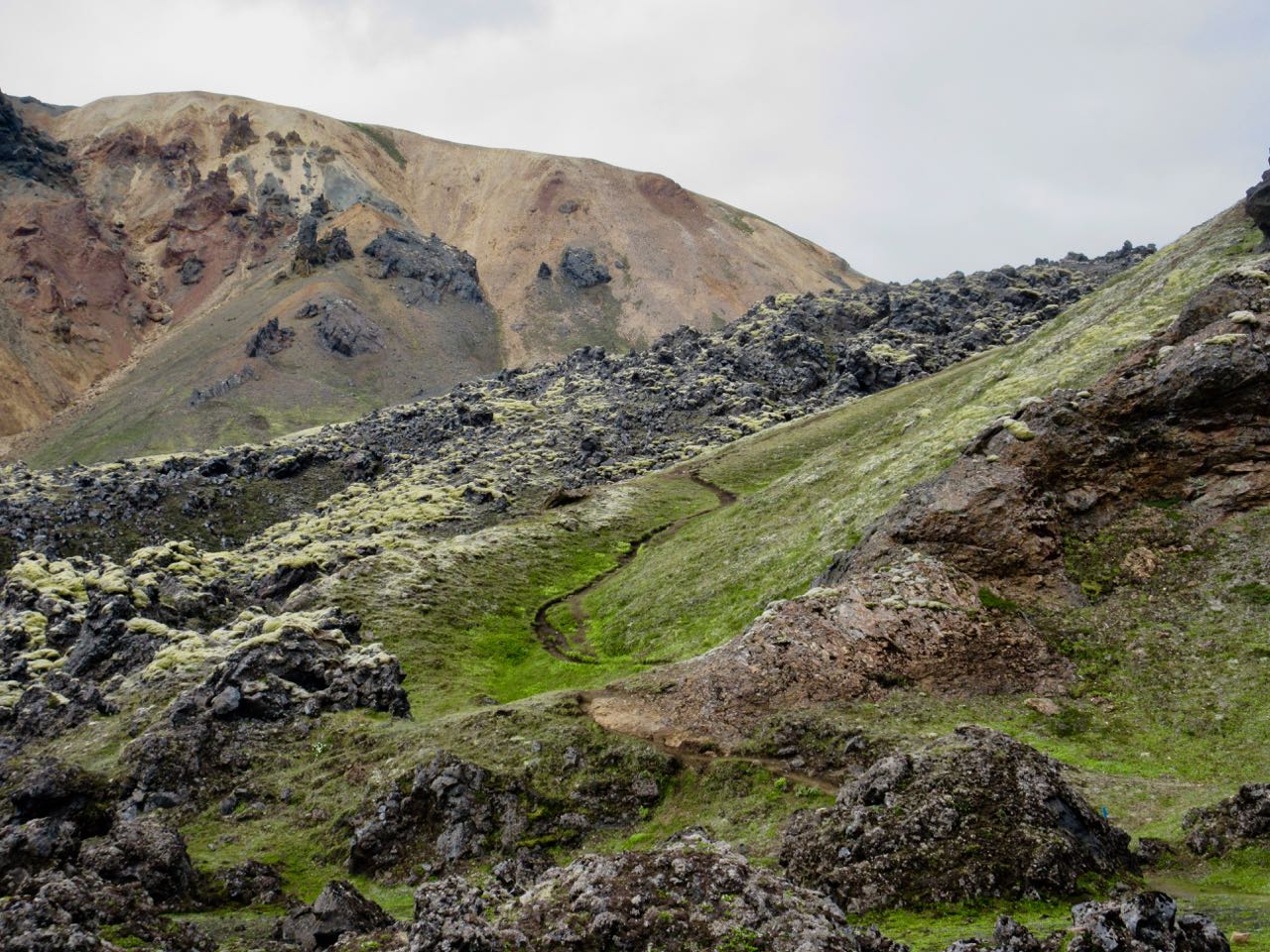
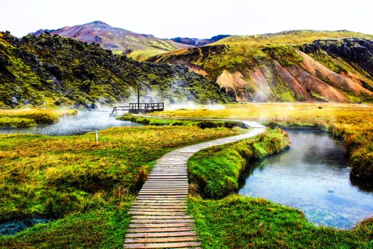
You cross the Torfajokull caldera, about 15km in diameter. It last erupted 1480. There’s a wide distribution of hot springs, mud pots and fumaroles.
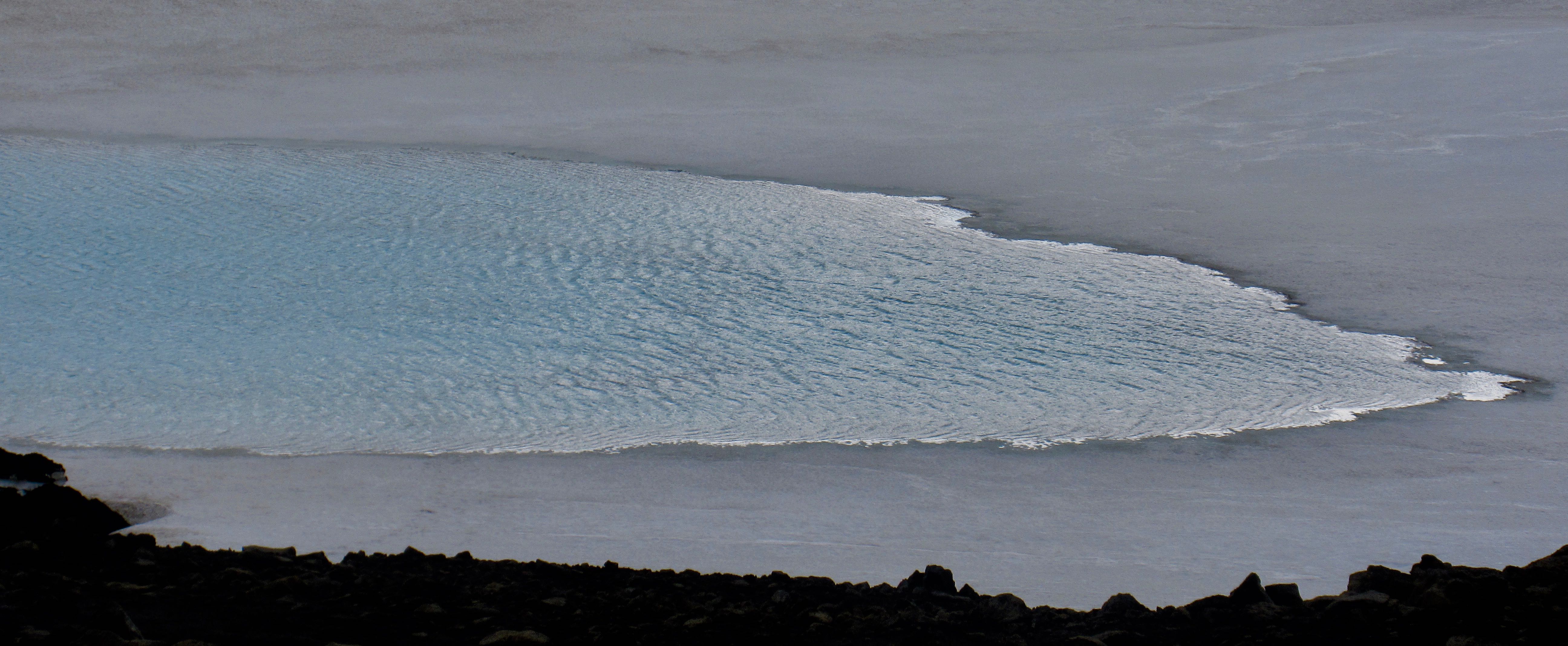
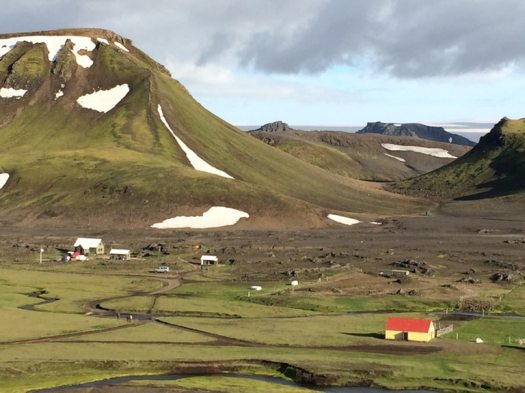
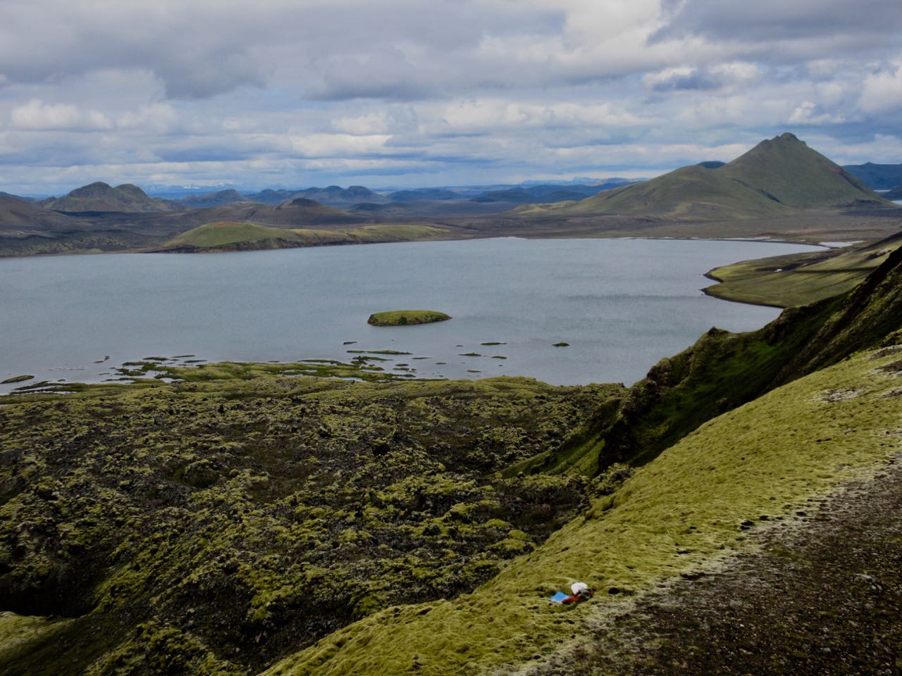
In good weather you can see Álftavatn (“Swan Lake”) from quite a distance
Though it had rained all night off and on, it hadn’t rained hard. I was optimistic poking my head outside the tent in the morning.
No go.
Recommendation from the information office was that we should stay in camp another night. Forecast for the following day was “improving“.
Sigh …
A hiker recently died on this section during a big storm.
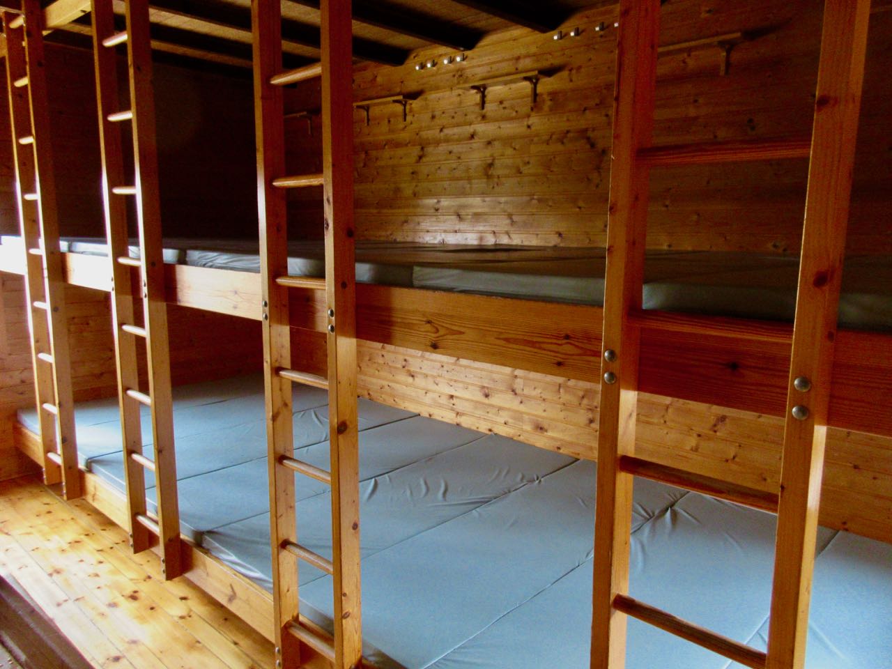
I did grab a cancellation for a spot in the 110 bed tourist hut operated by Ferdafelag Islands. (Others had booked at least 6 months in advance.)
In fact, I got in early and had my pick. Farthest from the door, against the wall. It cost $90 – no meals. The most expensive bunkbed of my life. Tenting is $20 / person.
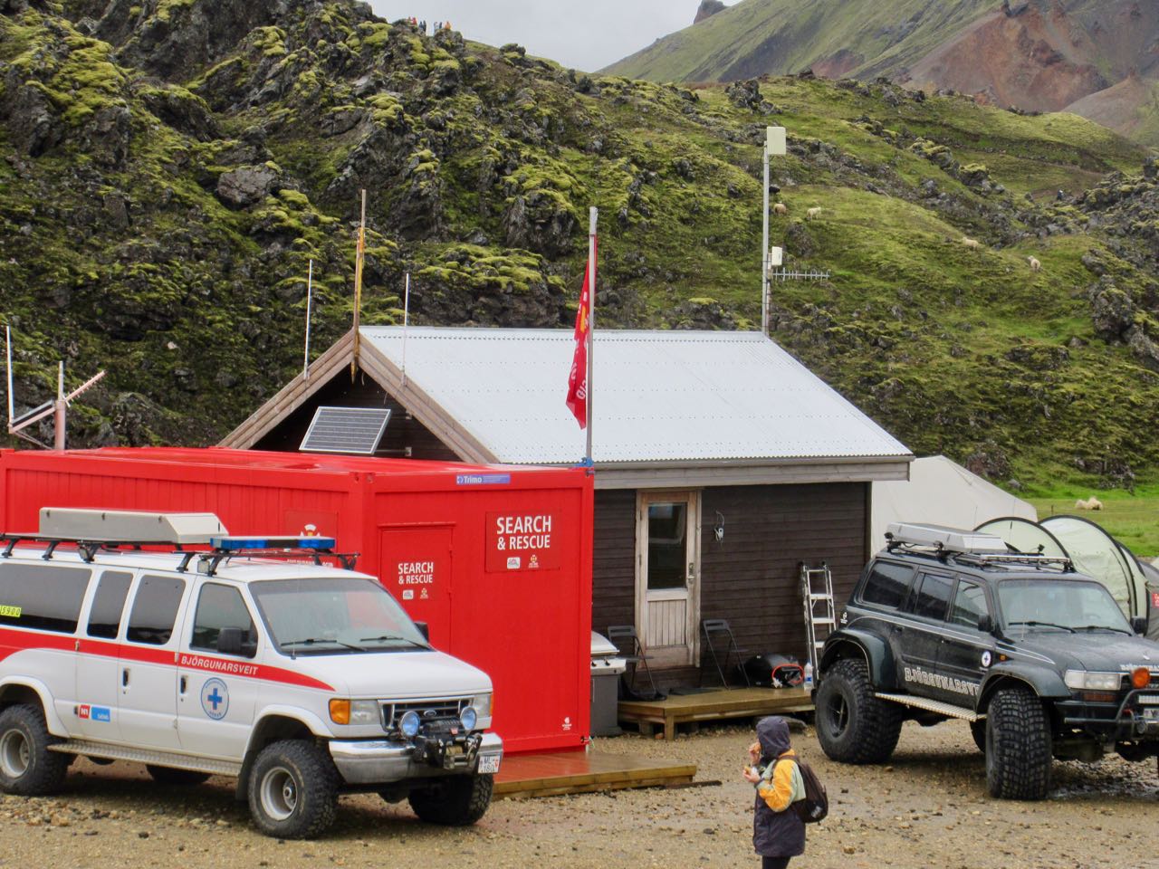
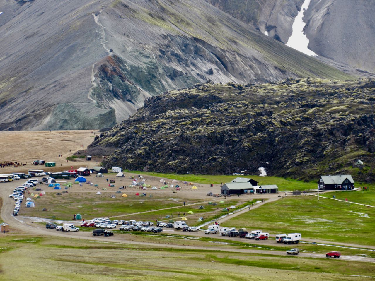
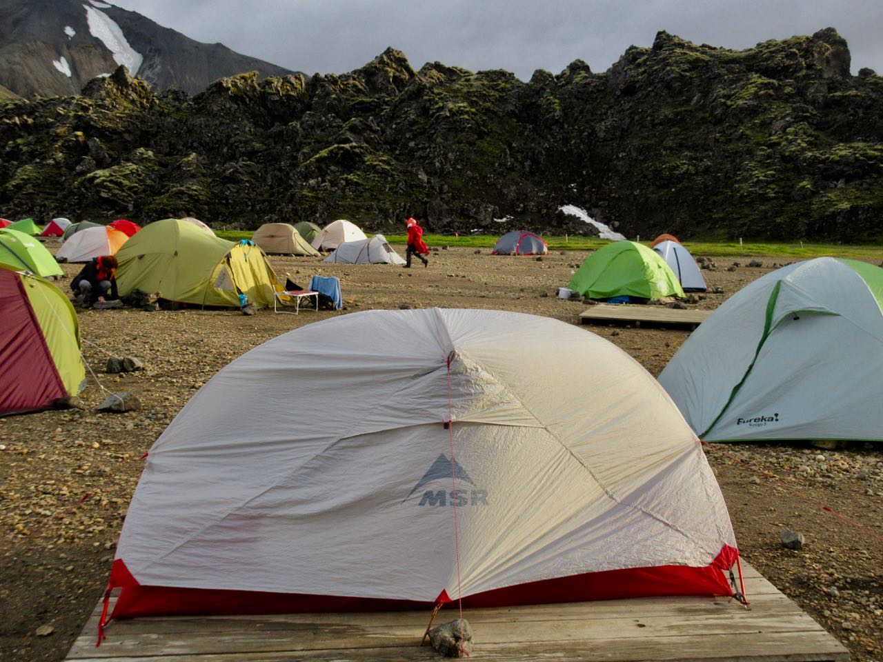
Landmannalaugar tent city was packed.
Many — including me — heeded the advice that we should stay. As day hikers rolled in it got more and more crowded.
At the time I trusted the advice. They know a lot about alpine rescue here.
So … a lazy day to read my book. Take a nap. And, of course, do the rest of the local day hikes.
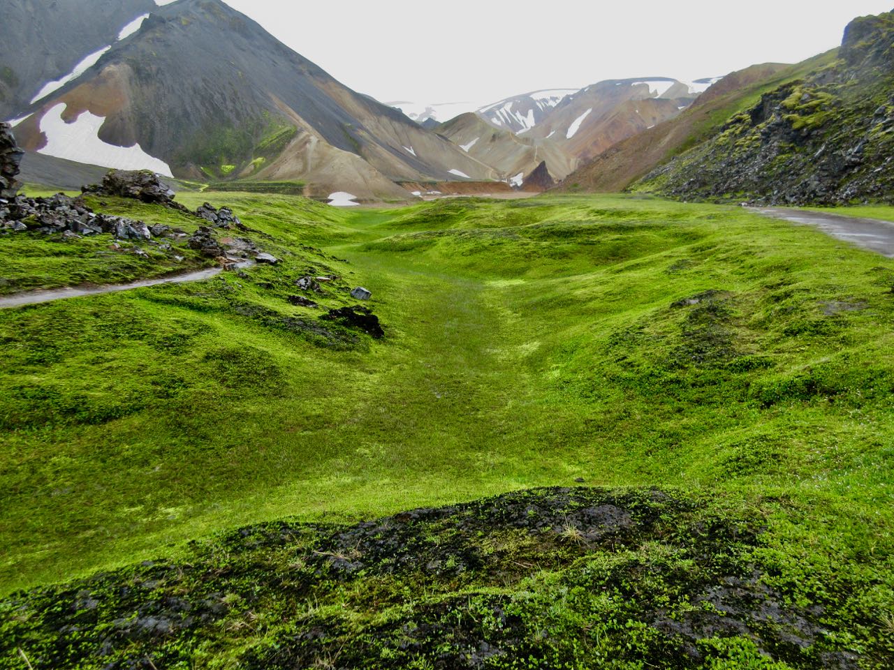
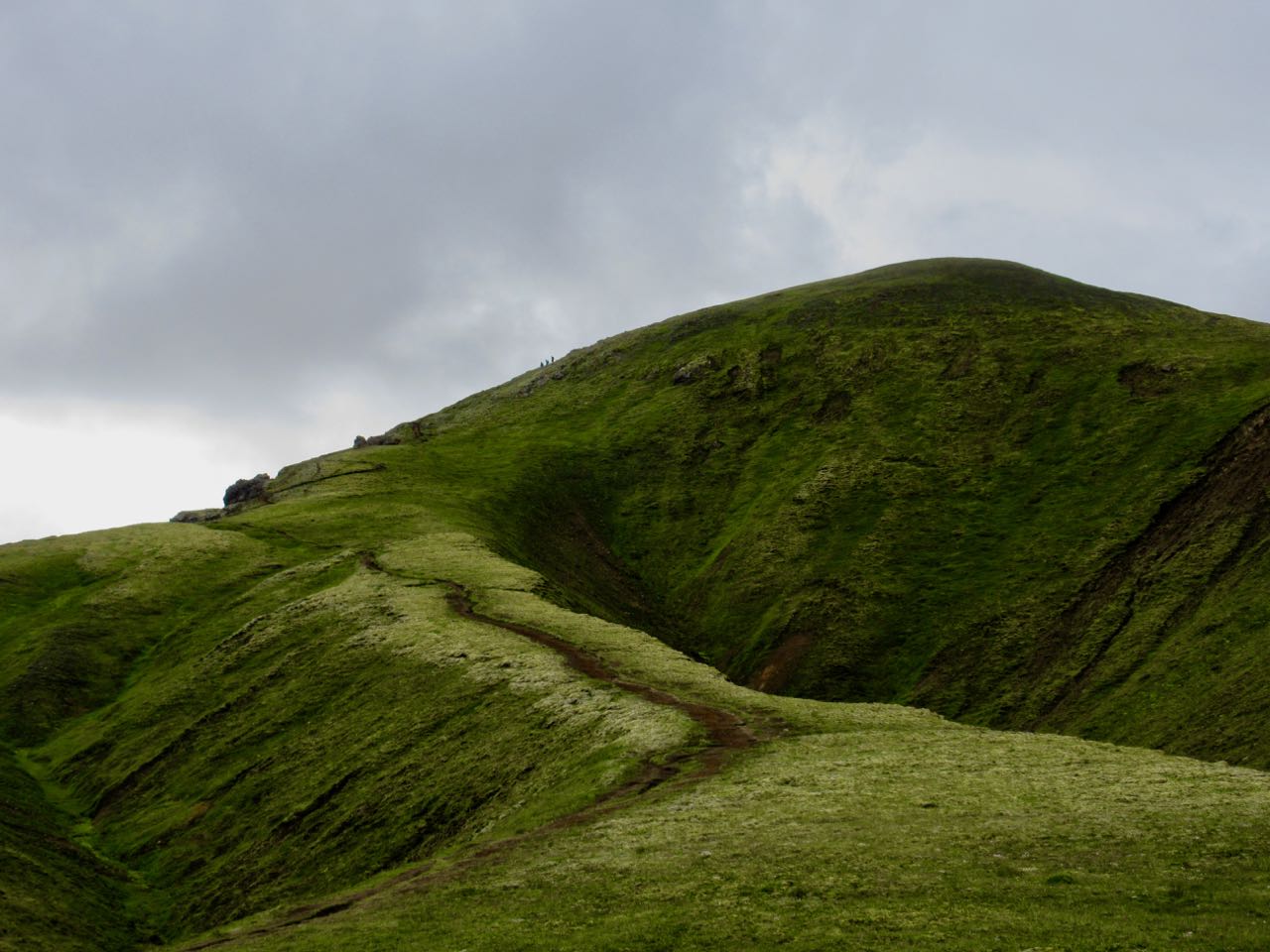
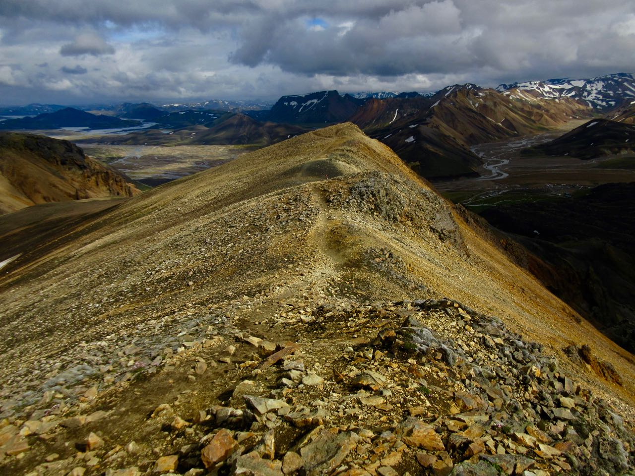
I made my own routes including parts of the Sulphur Wave trail (towards Brennisteinsalda). Wandered the Laugahraun lava fields. I climbed part way up Blue Peak (Bláhnjúkur).
The weather never really got any worse.
In fact, this was some of my best hiking of the trip.
I enjoyed another hot springs soak, of course.
And hung out in the cook tent as late as possible. Before climbing into my warm, comfortable bunkbed. Those out in tents were getting soaked.
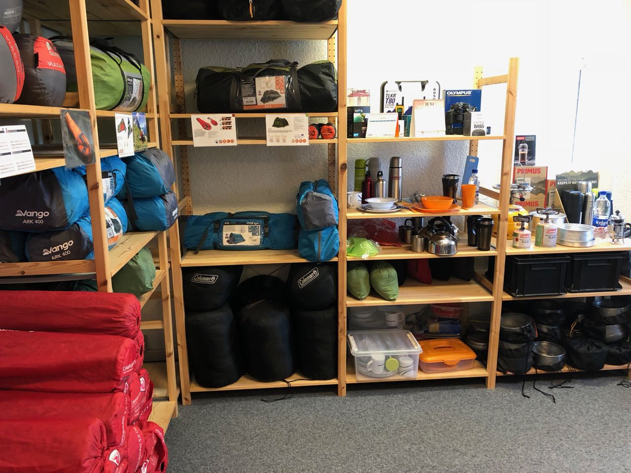
I bought my fuel at Iceland Camping Equipment in Reykjavík. It’s VERY expensive.
Later I learned that every hostel and campsite has plenty of free fuel canisters left behind by foreign hikers who will soon fly out.
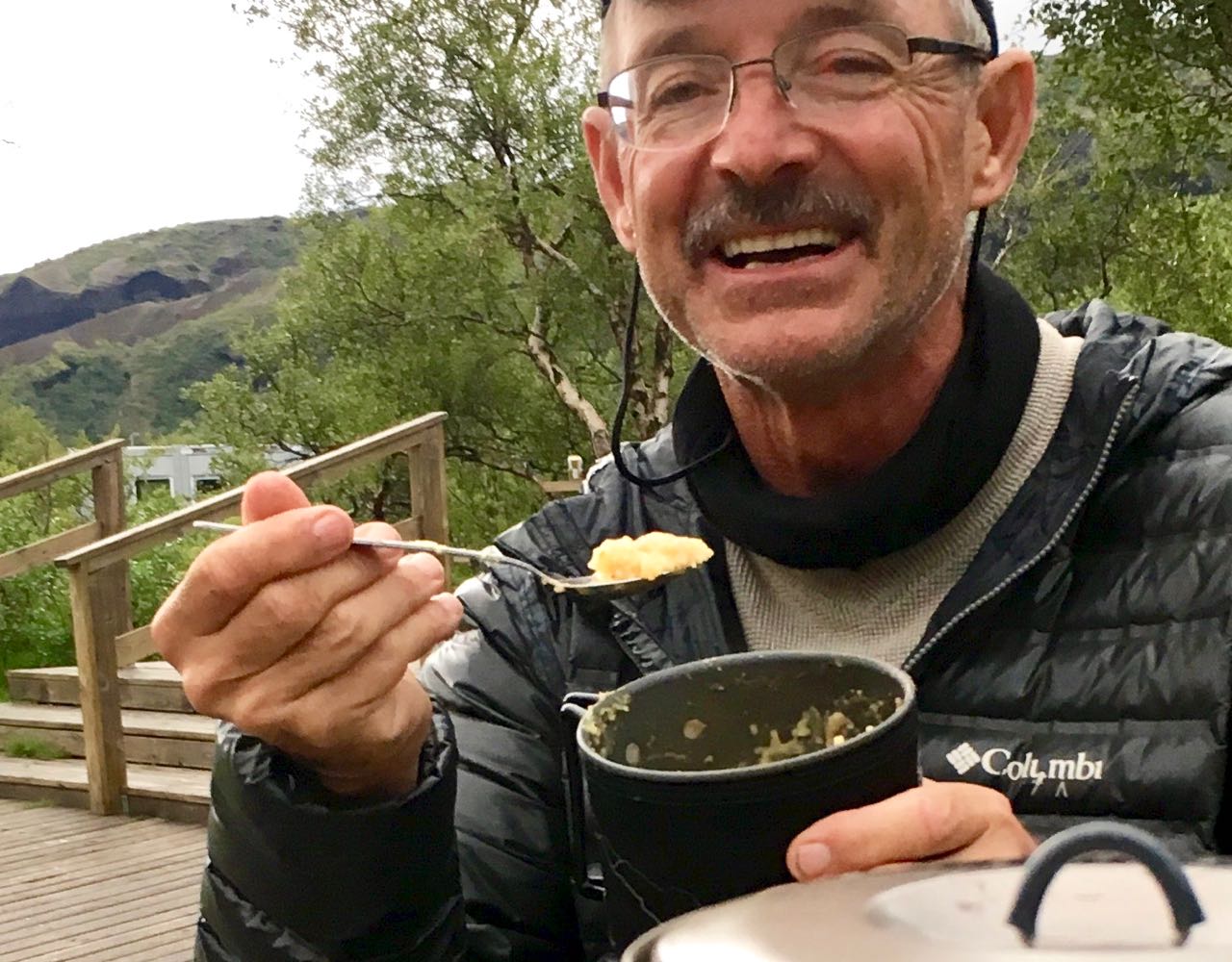
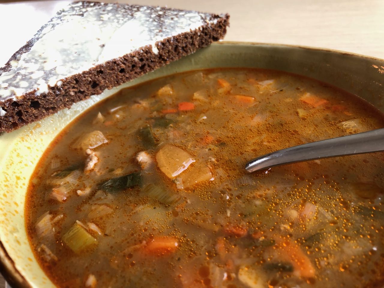
I enjoyed my last restaurant meal – traditional Icelandic meat soup.
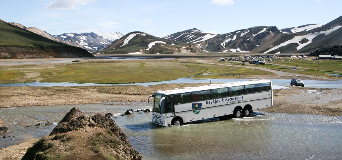
There are a number of ways to get to Landmannalaugar. Reykavik Expeditions and TREX are the two biggest bus services.
I went early to catch the 4pm bus. … Last bus leaves at 1pm. Never believe anything you read on the internet.
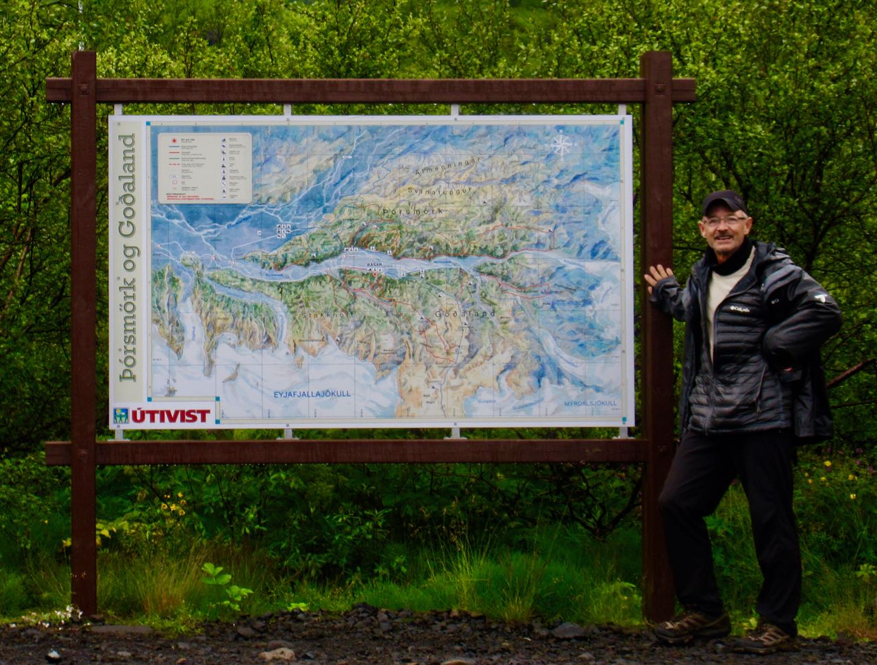
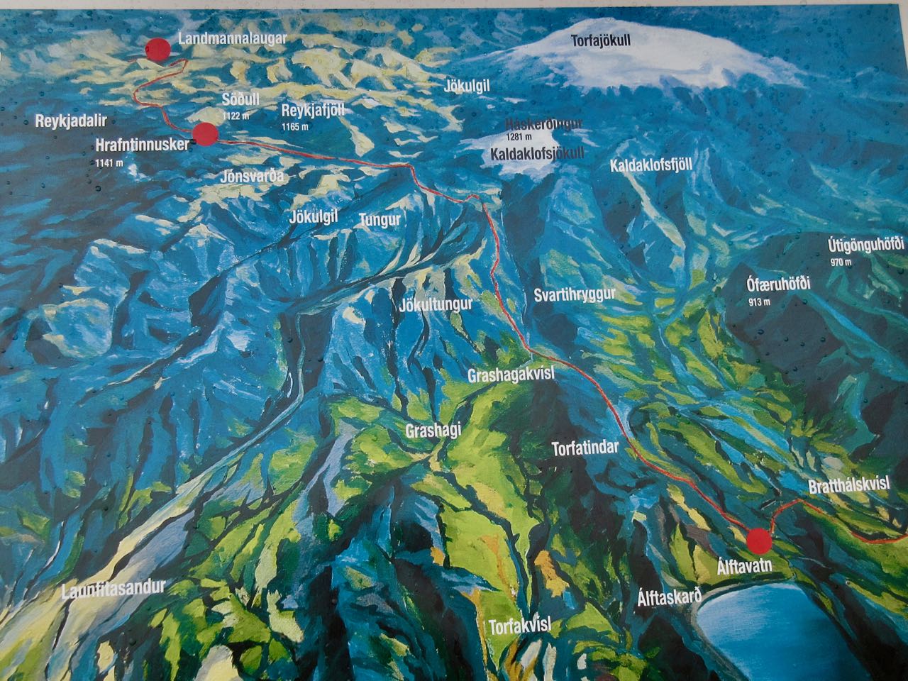
click for bigger map
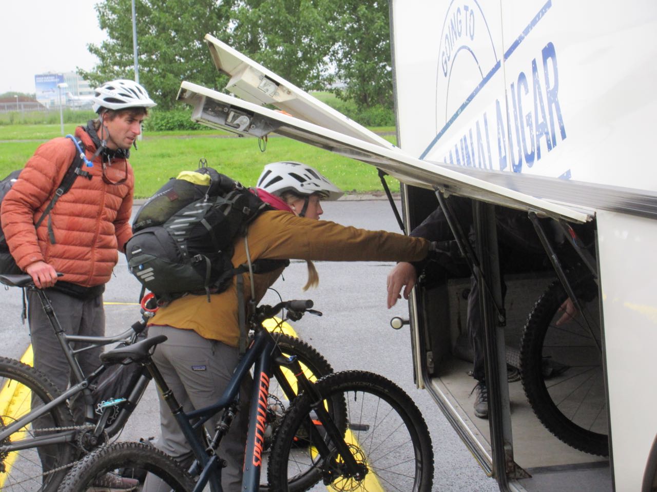
Next morning I was surprised to see young people from Alaska loading bikes. I’d not heard of people cycling Laugevagur. Turns out it’s a bad idea.
Reykjavík to Landmannalaugar is about 4 hours … if you don’t get stuck.
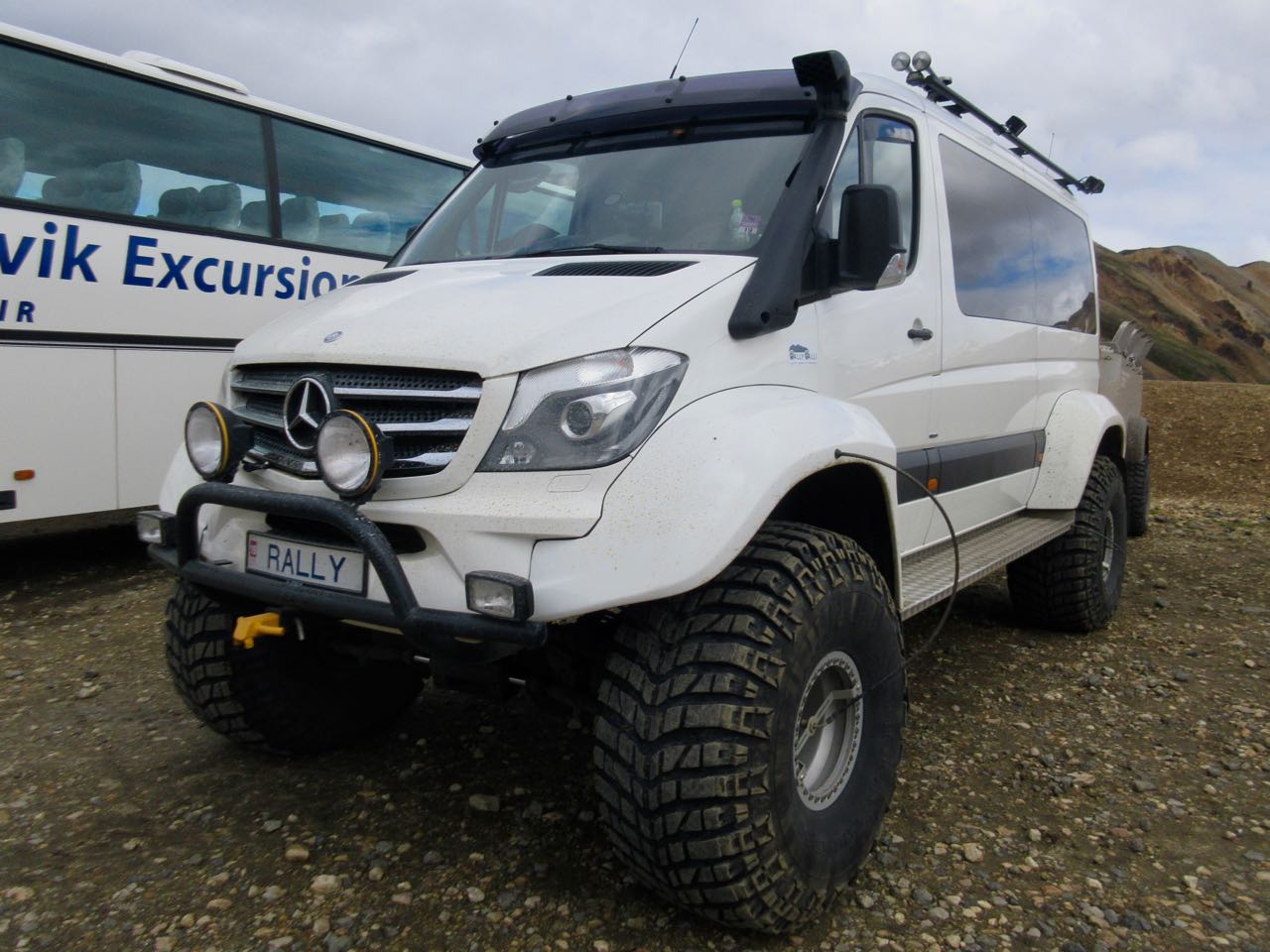
It would be FUN to drive your own rental monster truck.
Landmannalaugar is a sprawling mess of a campsite.
While the rest of the world was suffering a heat wave, Iceland has had the worst summer weather in recorded history (100 years).
Forecast was not good. We worried whether or not we’d be able to attempt the hike.
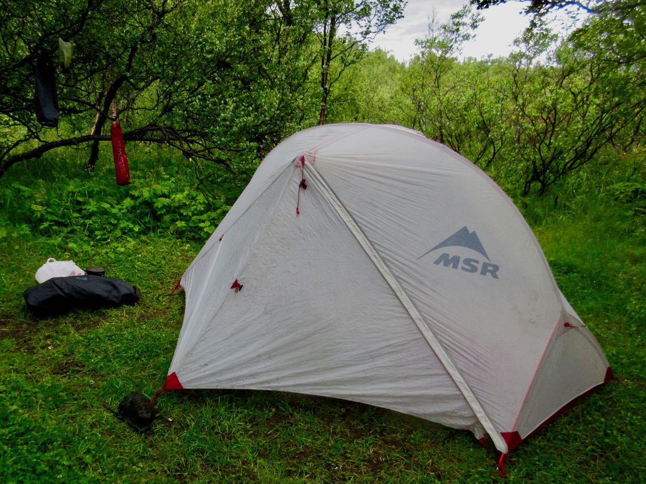
I put my Hubba up on a platform in case of flood during the night.
At the information office you can buy a crappy day hiking map for about $3.
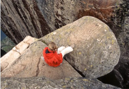
Most recommended is the Suournamur loop (about 9km). I first took a detour up the Ljiotipollur ‘Ugly Puddle’ trail and found myself this lookout for lunch. Ljiotipollur is an explosion crater lake.
If you find any trail crowded in Iceland, you only need walk a few minutes on any side trail to feel like you have the island to yourself.
Suournamurtrail is gorgeous. It climbs up above the campsite.


