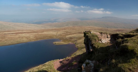
I’ve twice been on the Annapurna Circuit. It has been degraded by road building. In fact, on the more recent trip I enjoyed mountain biking more than hiking.
Tripple P. Gurung decided to invent an alternative in the region.
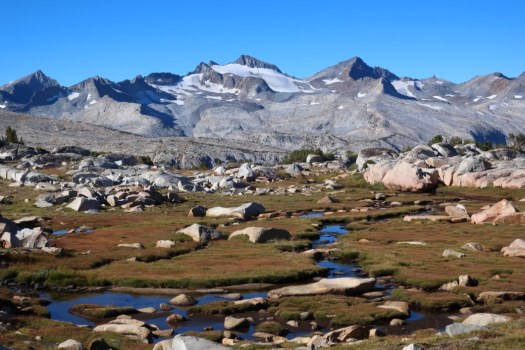
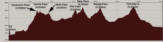
The Annapurna Seven Passes … is a 20-day trek that takes a trekker through seven high passes, four of which are above 5,000 meters. In addition to the challenge of the high passes, this trek offers a mix of wilderness and culture that is missing from treks that run through villages. …
Click PLAY or watch it on YouTube.
It’s actually a route, not a trail. I would need a guide.
QUICK FACTS
-
Difficulty LevelHard
-
Total Length177 Km
-
Highest Altitude5416 Meters
-
Start locationTal (1,665m)
-
Finish locationJomsom (2,740m)
-
PermitsACAP Permit,TIMS Permit,Naar-Phu Restricted Area Permit
-
Best SeasonApril-November
Click through for details: