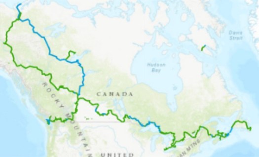
The longest network of recreational trails in the entire world. …
It is exclusively designated for recreational purposes and only allows bikes, hikers and horseback riders in the summer and in the winter it is used for cross-country skiing and snowmobiling. …
The new marketing campaign by the Chilean government called “Route of Parks” is not a hiking trail. It’s a series of roads with occasional trails. And other outdoor adventure options along the way.
It’s a work in progress. Ultimately MIGHT be 1,500 miles long.
It’s one of the great conservation stories of all time: Last month Chile President Michelle Bachelet and American philanthropist and conservationist Kristine McDivitt Tompkins pledged to expand Chile’s national park system by just over 10 million acres—an area larger than Switzerland. …
If you are looking for a long thru hike in Patagonia, check the Greater Patagonian Trail route. It does not connect in any way with the Route of Parks because that’s a road. 😀
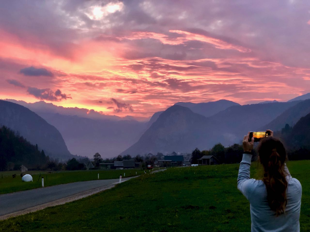
You can do a half day hiking circuit from Bled. But I was riding with a tourist agent from Belgium who was doing research on the area. She had a rent-a-car.
In October near end of day, it wasn’t particularly crowded. Nor was Bled During July and August you may have trouble finding a place to park. And all accommodation can get booked out.
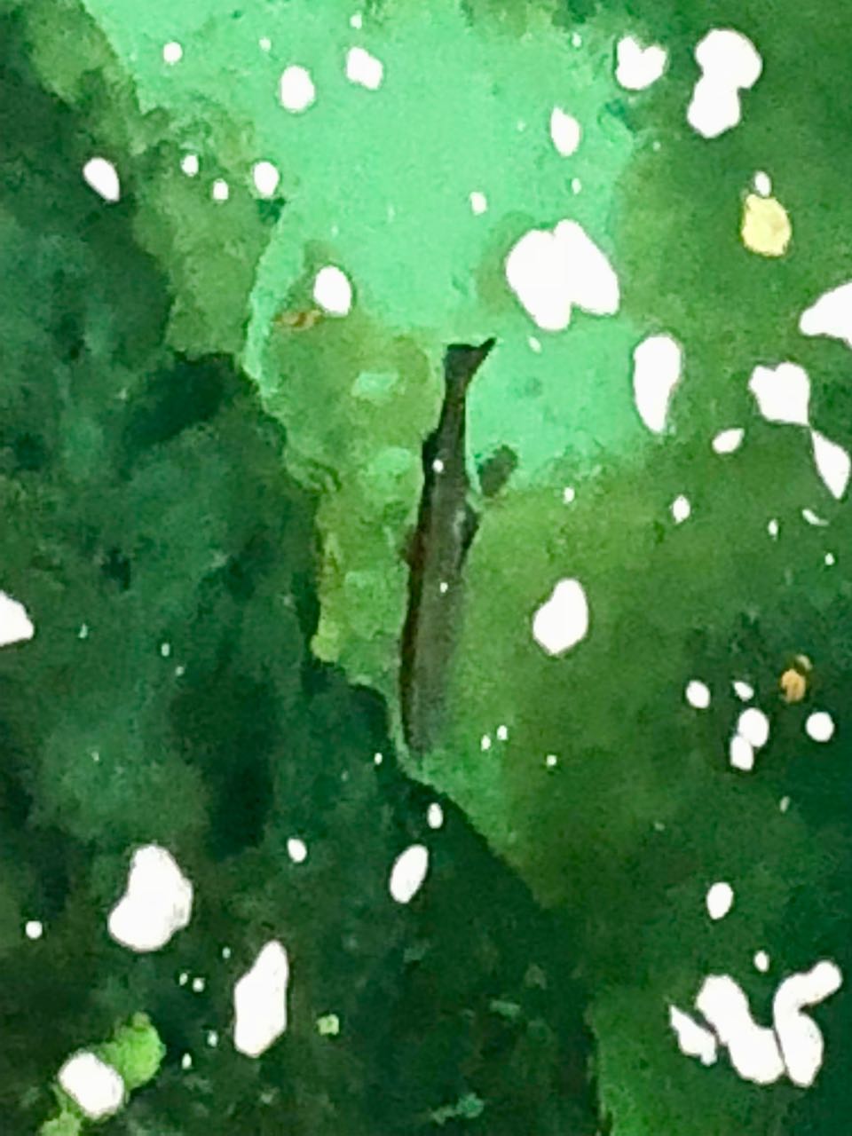
The water is so clear you can watch fish waiting on food to drift down.
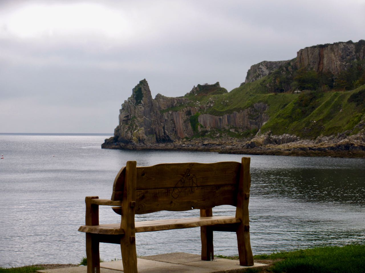
We caught a terrific sunset after finishing our hike.
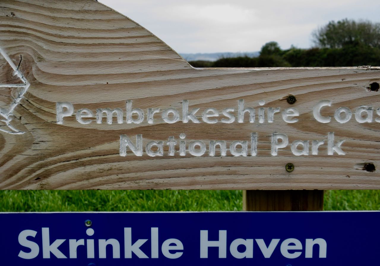
The Wales Coast Path (Welsh: Llwybr Arfordir Cymru) is a long-distance footpathwhich follows, or runs close to, the majority of the coastline of Wales.
It opened on 5 May 2012, and offers a 870-mile (1,400 km) walking route from Chepstow, Monmouthshire, in the south to near Chester, in the north. …
The whole path is accessible to walkers and, where practical, some sections are suitable for cyclists, families with pushchairs, people with restricted mobility, and horse riders. …
Louis-Phillipe Loncke …. This was an epic journey that left him exhausted, pushed to his limits, and 15 kg (33 pounds) lighter than when he set off.
The video below is from a new report aired in Australia that caught up with the Belgian adventurer just as he was crossing the finish line, providing some insights into what this journey was like. …
I made coffee in the vestibule of my tent in the dark. Packed up and was on my feet by 8am. BIG day ahead. The toughest and most physically demanding of any on the Coast Path.
It was about 2 miles to town. Another 14 miles more (at least) to finish.
I finally saw rabbits on one farm. (SLUGS are much more plentiful.)
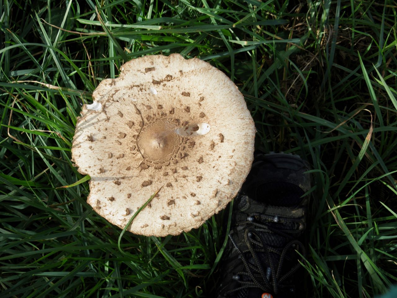
Giant mushrooms.
I detoured to Newport town to pick up provisions. There was some chance I’d need to wild camp again. I had no reservation for the hostel. And it was Saturday.
Scones and fruit cake are high calorie. Easy to eat.
For the first time in my hiking career an official trail crossed a golf course. That’s cool.
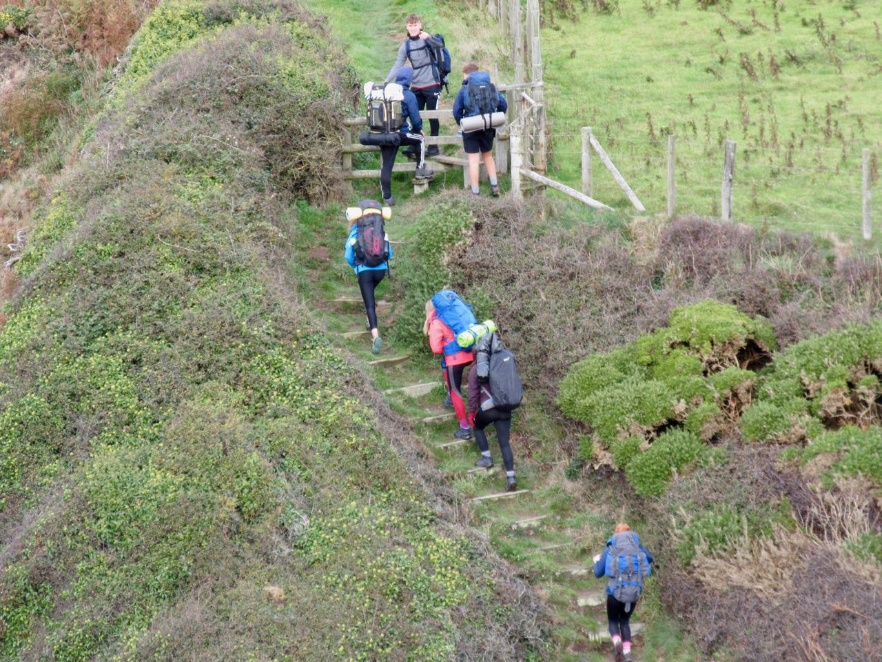
In the parking lot Duke of Edinburgh hikers were unloading. These are students who had to plan and execute an expedition of at least 2 days and 1 night. They looked woefully unprepared to me.
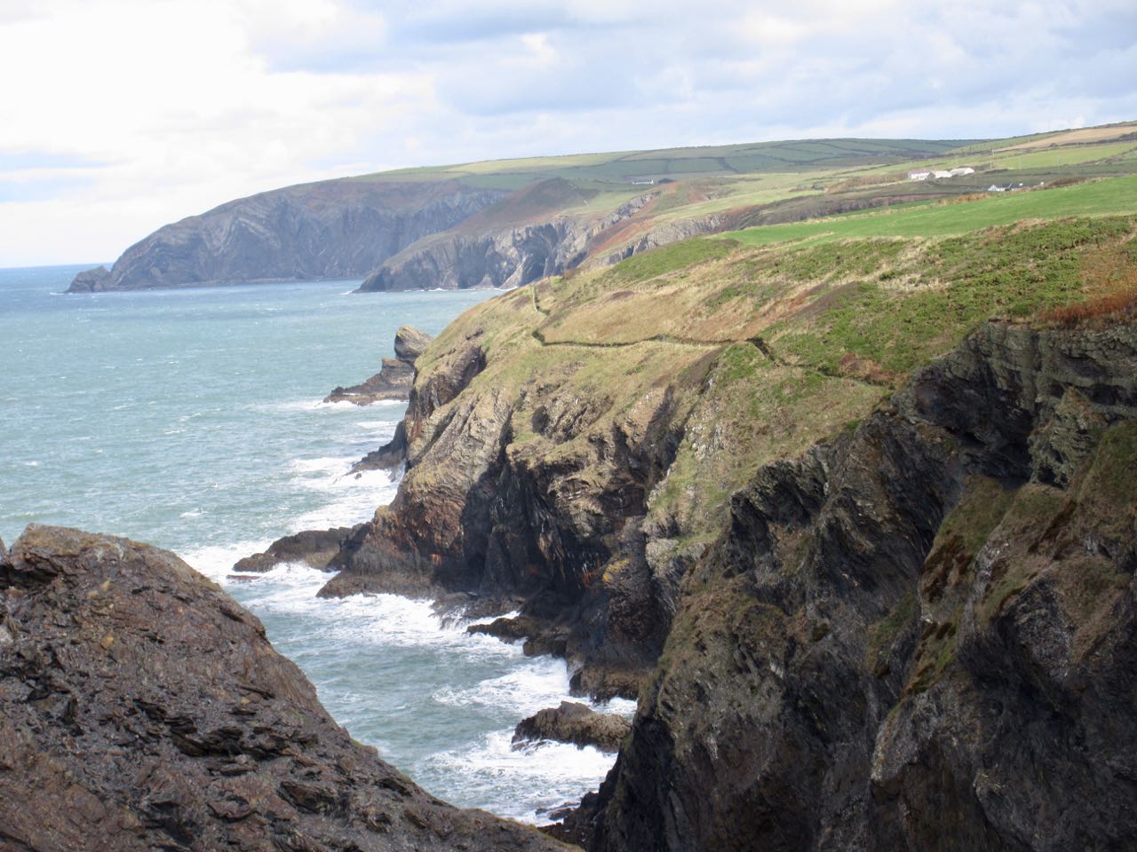
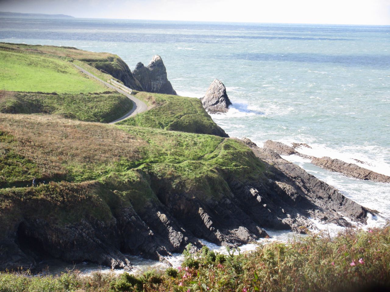
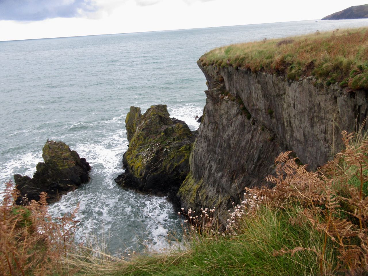
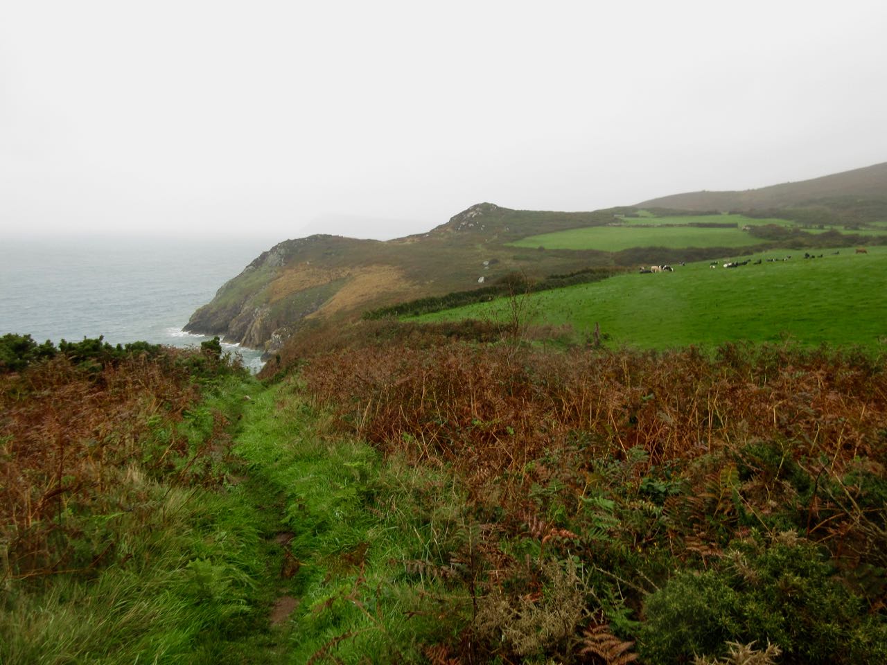
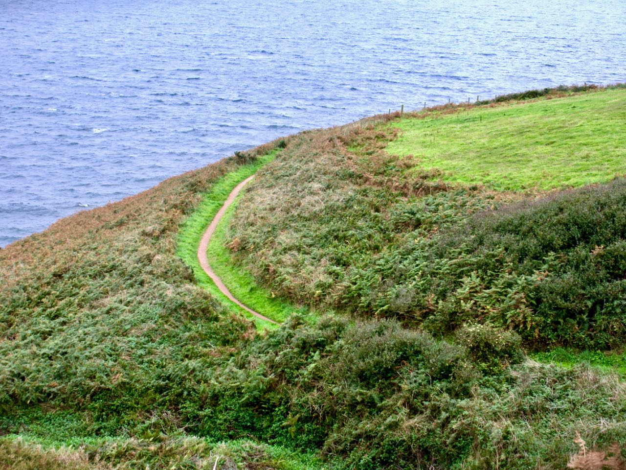
The steep, sheer, non-stop cliffs begin. The highest 575ft (175m). There’s only one emergency exit all day.
Narrow trails. Far less used than those in the south.
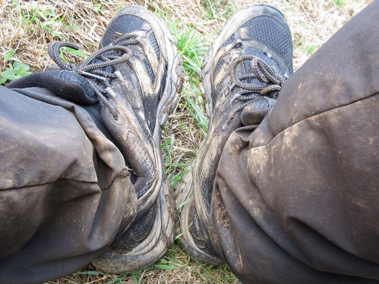
Yes. Muddy.
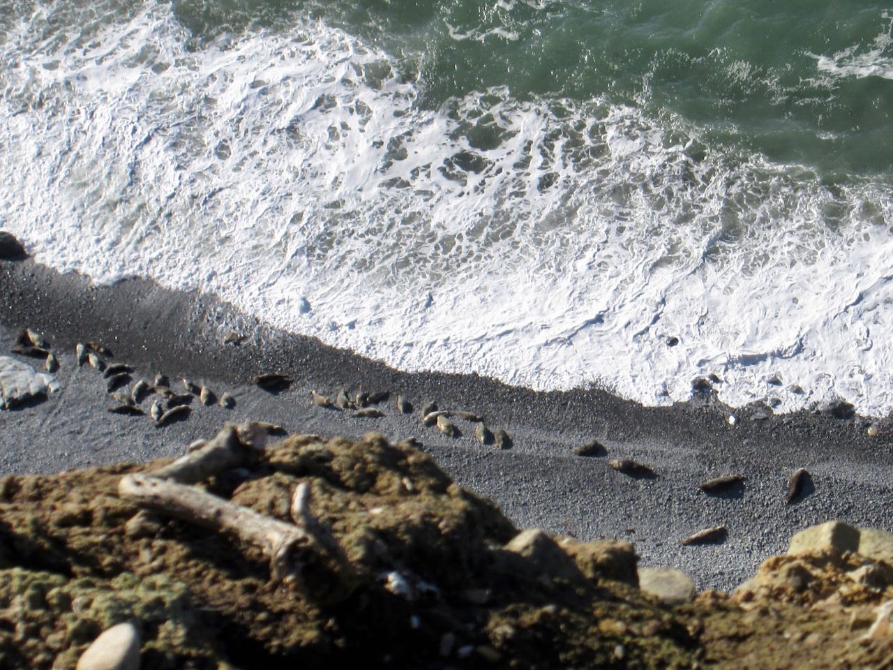
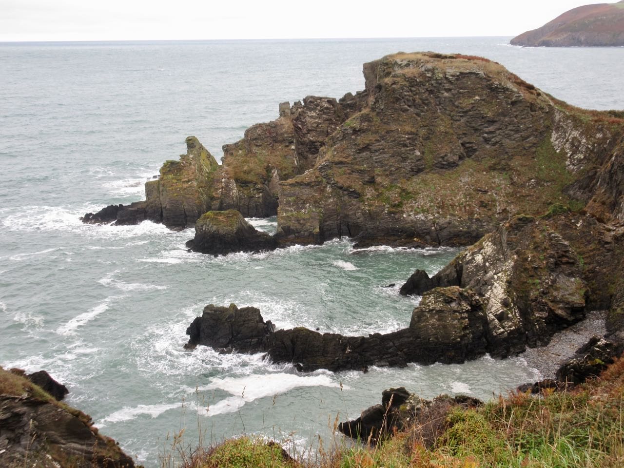
Most of the coves are inaccessible except from sea.
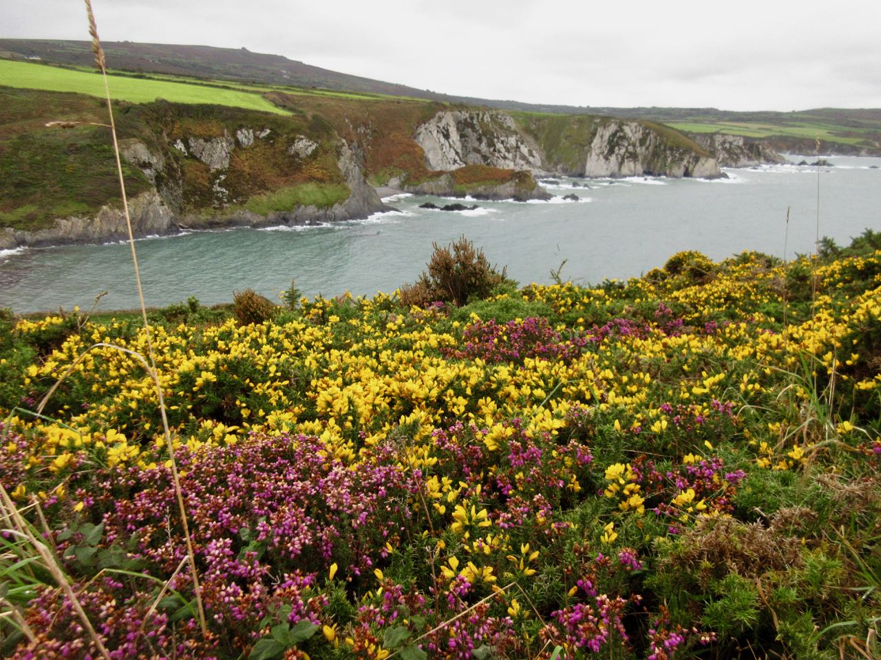
Stunning scenery. The weather improved over the day.
I was quite happy to round the corner and see that cliffs had ended. I’d been walking for nearly 8 hours.
On a weekend, I feared Poppit Sands hostel would be full. I’d need to wild camp again.
Happily there was space at the inn. I spent about 25 minutes in the hot shower! Welsh hostels are excellent.
It was a fun night chatting with an entertaining, informative Irishman. (Are there any other kind?) He was just finishing up a 3 month cycling holiday.
Before dinner I walked Poppit beach. My Coast Path would be ending first thing in the morning.
____
After coffee in the morning I had 2 miles left to trail end in St Dogmaels.
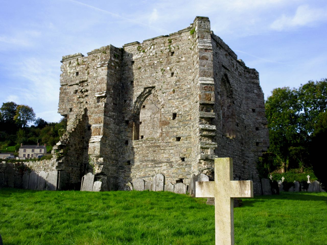
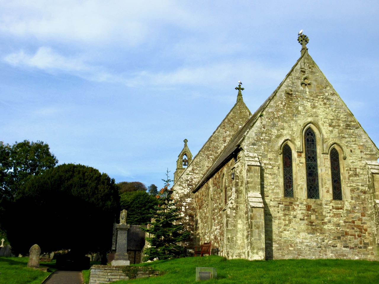
I visited the ancient Abby. And church built 1847 from Abby stones.
Here’s the finish.
Over 4 days I’d walked the first 20 miles. And the last 25 miles. About a quarter of the Coast Path. It was enough.
Then I walked another 2 miles along the Wales Coast Path, an 870-mile (1,400 km) route around the whole coast of Wales, to the bus stop at Cardigan. From there I planned to catch a bus to the train station.
What! What?
In October there are no longer ANY buses to anywhere on a Sunday. Bus service has been shrinking for years for rural towns in Wales. ☹️
The closest train station was 50£ by cab. I hate taxis. So checked into a lovely hotel instead for 45£. A holiday from my hiking vacation.
I had a plan. And plenty of doubts whether or not I’d make all the connections.
8am breakfast at the Manorbier Youth Hostel
8:33am bus to Tenby
9:37am train to Fishguard
That all worked! I was pleased.
I wanted to continue my hiking on the spectacular northern end of the Coast Path.
I studied the litter by the train tracks. Mostly drink containers. Some fast food wrap. Cigarette packages.
There was no trash can available on this platform. No wonder, Wales.☹️
I headed for Fishguard because it had a train station. From there I hoped to catch one of the much promoted coastal bus lines.
Wanting to head in the direction of St. Davids, locals sent me to catch the Strumble Shuttle. Starting Oct 4th it went on winter hours. Only two days a week: Thursday and Saturday.
I checked my watch. I’d arrived Friday, Oct 5th. ☹️
… Oh well. I started walking instead in the other direction. Towards the north end of the Coast Path. The best and most difficult section.
I picked up some provisions (including 2 litres of water) in town before climbing up and away towards headlands.
It was 1pm. I had about 6 hours of daylight to get as far as I could … wanting to shorten tomorrow’s final, most difficult day. I left Fishguard as quickly as possible.
It was misty, almost drizzling, all day. Many of my panorama photos looked a little grey.
Still, every hiker I spoke with felt it was great weather for walking. I heard it had been too hot in this section during summer 2018.
The cliffs grew increasingly rugged. Increasingly challenging. The highpoint of the day is 465ft (142m).
There are more cows than sheep.
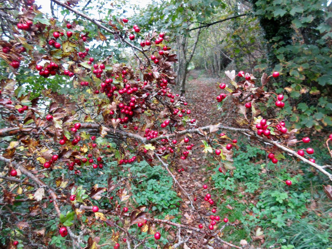
Vegetation is dense. Plenty of thorny berry bushes.
I considered tenting in this bay, but it was still too early in the day.
Certainly I enjoyed the walking. There’s much to distract from the exertions of climbing up and down cliffs with full pack.
About 6pm I started looking for a discrete place to wild camp. Slim pickings. The Welsh have had hundreds of years to lock up their private property. There’s no “right to roam” in Wales.
The public space was a narrow path, dense shrub and then a deadly fall to the sea.
I lucked out reaching a now closed nature reserve. Climbed the fence. Found a secluded spot. And set up the Hubba.
It still had not rained. … Not until the middle of the night when I had to scramble and put on the fly.
Day 2 would be problematic. I could hike in the opposite direction from the hostel … but it was unlikely I’d find a bus to get me back.
In the end I decided to take a chance. If I couldn’t find a bus, I’d backtrack the way I came. My turnaround time would be 3pm.
Immediately the scenery was more dramatic than anything I’d seen so far. BIG cliffs.
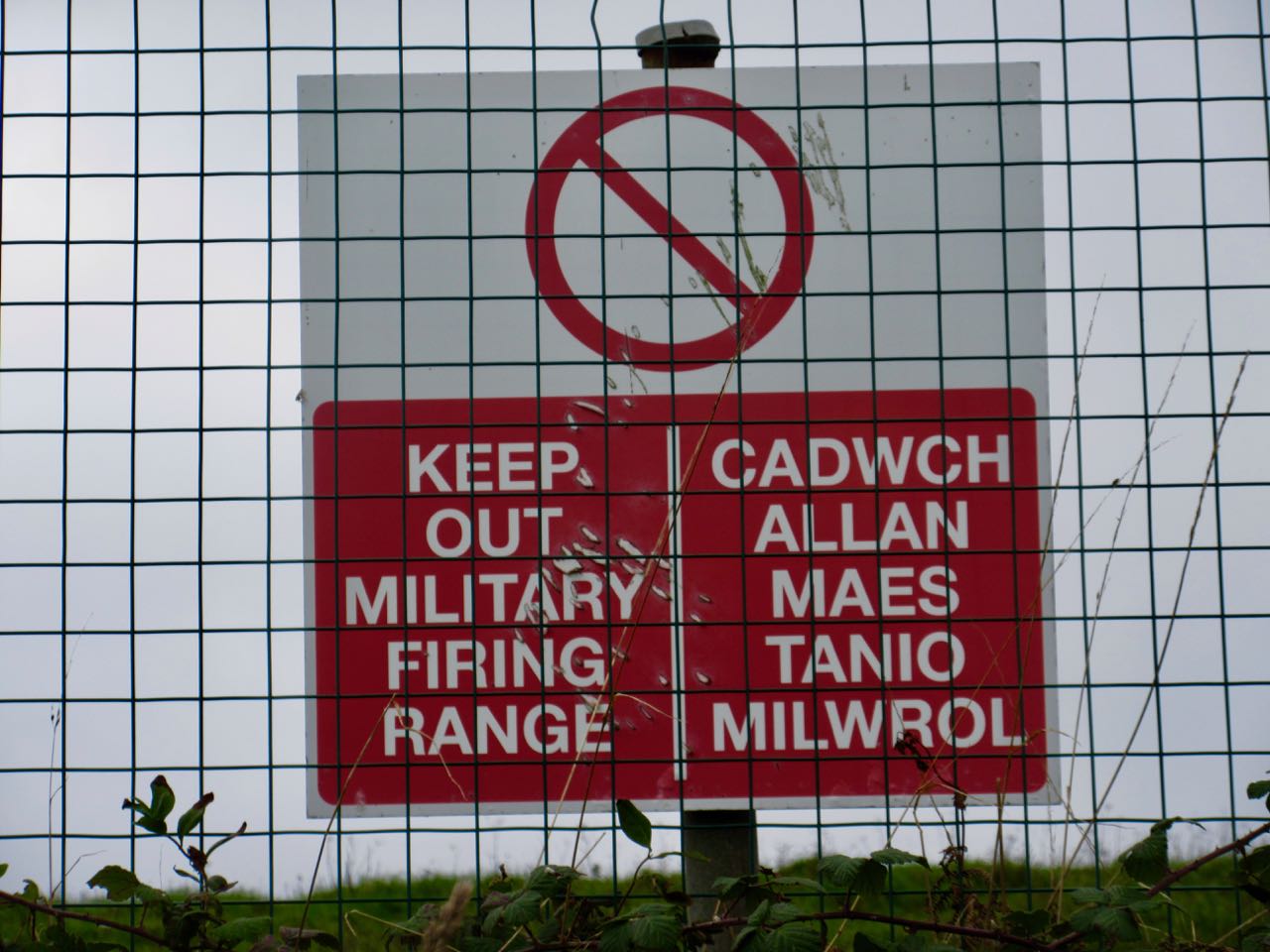
This rugged, remote area is used for military training. At one point I was forced to walk around a training camp.
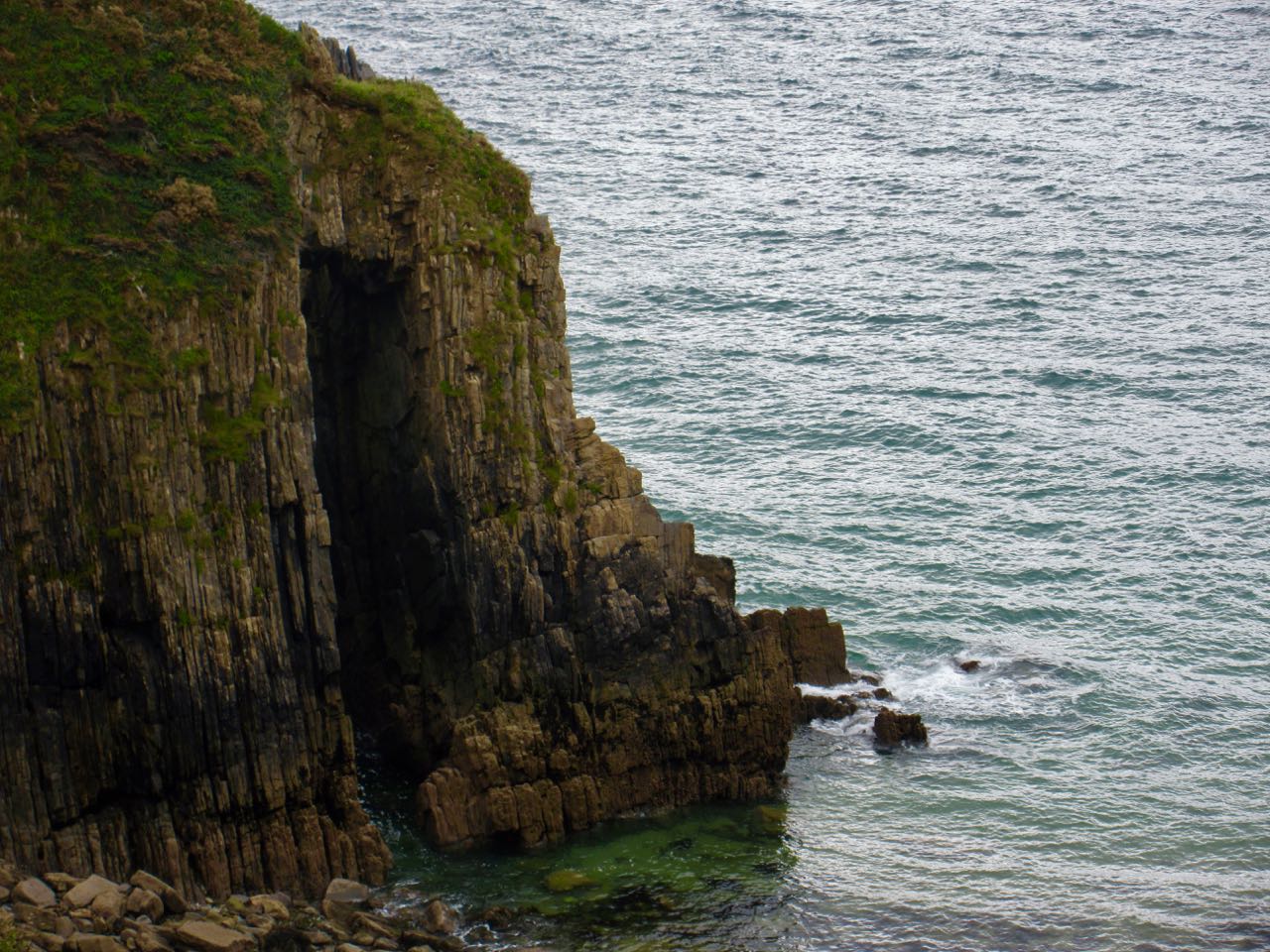
Most of my day was walking high cliffs.
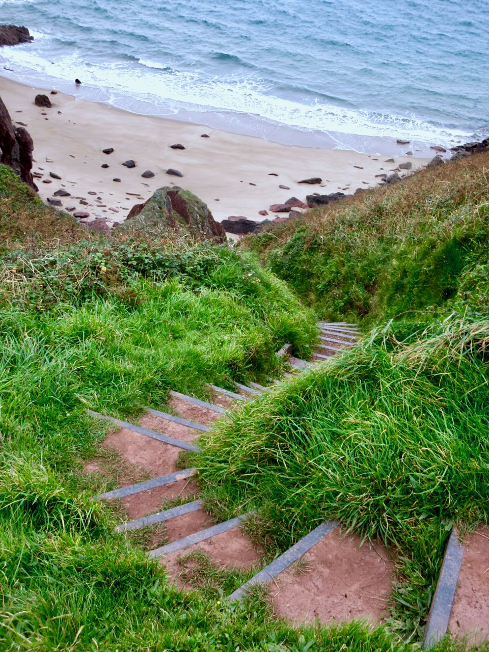
The few coves had stairs. Most of them, in any case.
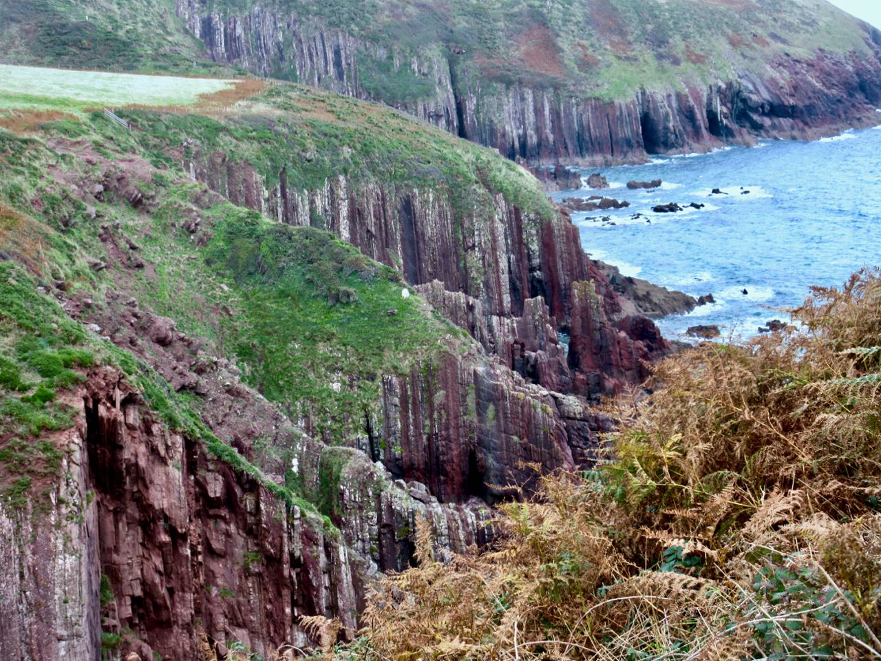
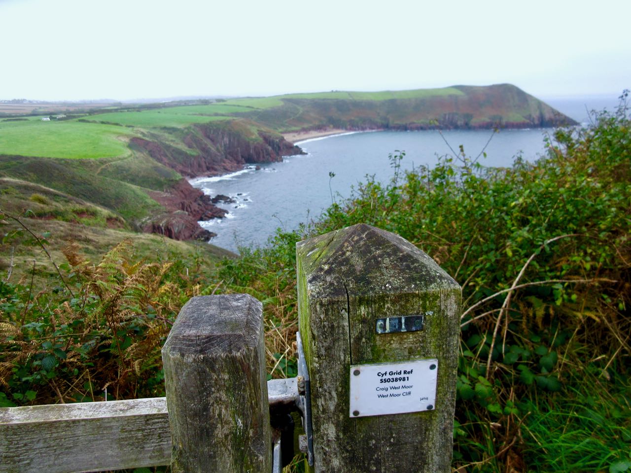
You can see how the earth was flipped 90 degrees at some point in geological history.
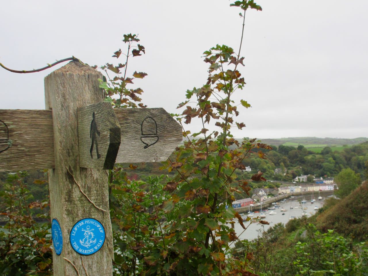
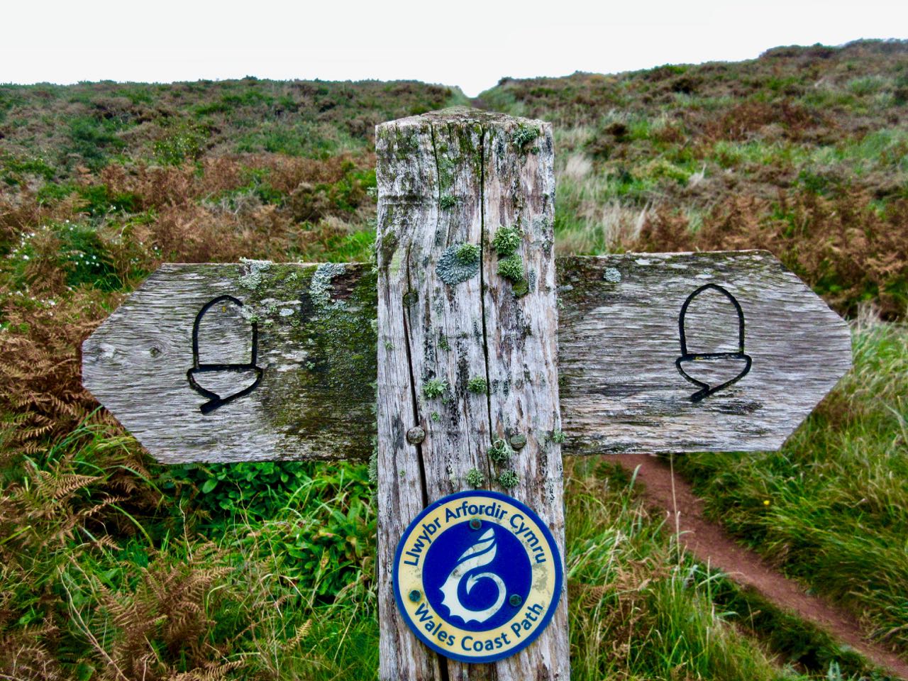
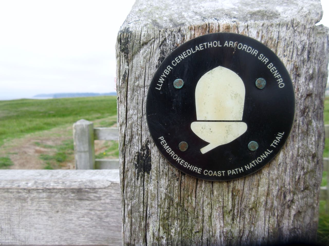
The Pembrokeshire Coast Path (opened 1970) is part of the longer Wales Coast Path. Many of these trails have multiple logos.
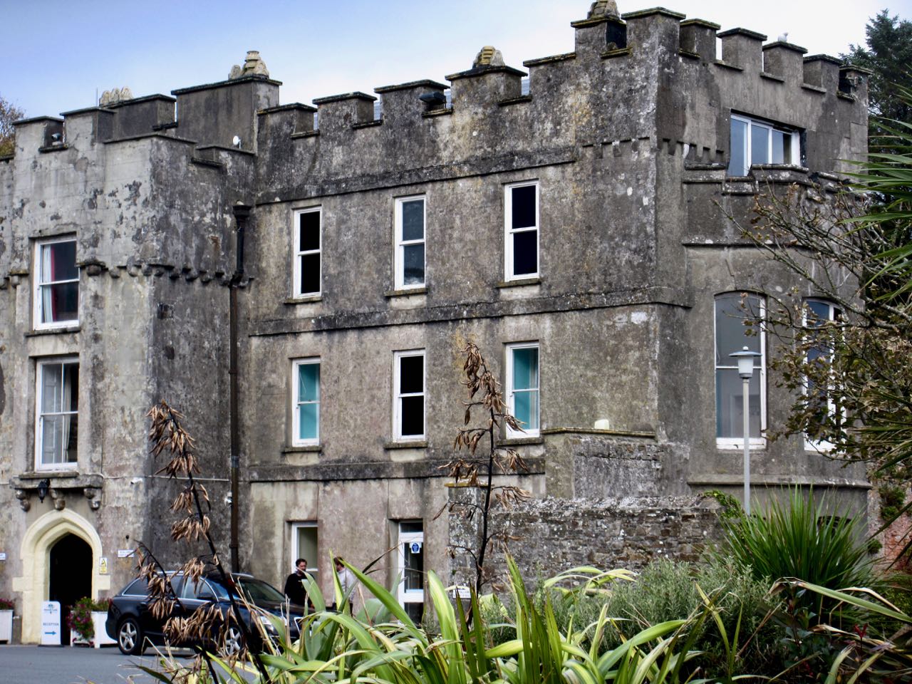
Though I’d been staying at the the Manorbier Youth Hostel (in Skrinkle), I finally made it to the village of Manorbier.
I’d been looking forward to see the quite intact Manorbier Castle. It’s privately owned now, but public can buy tea and access.
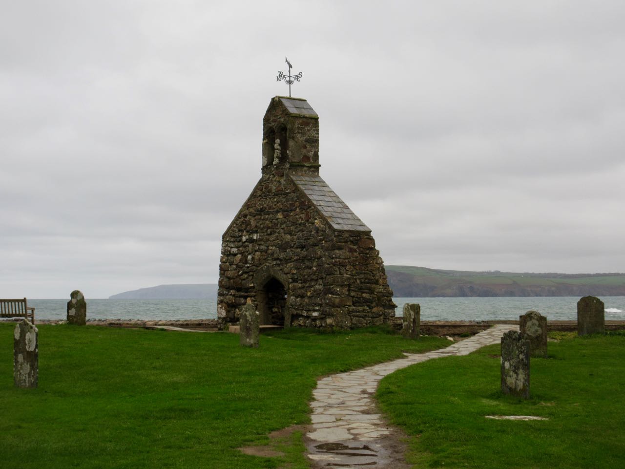
Across the way is the 12th century Norman Church.
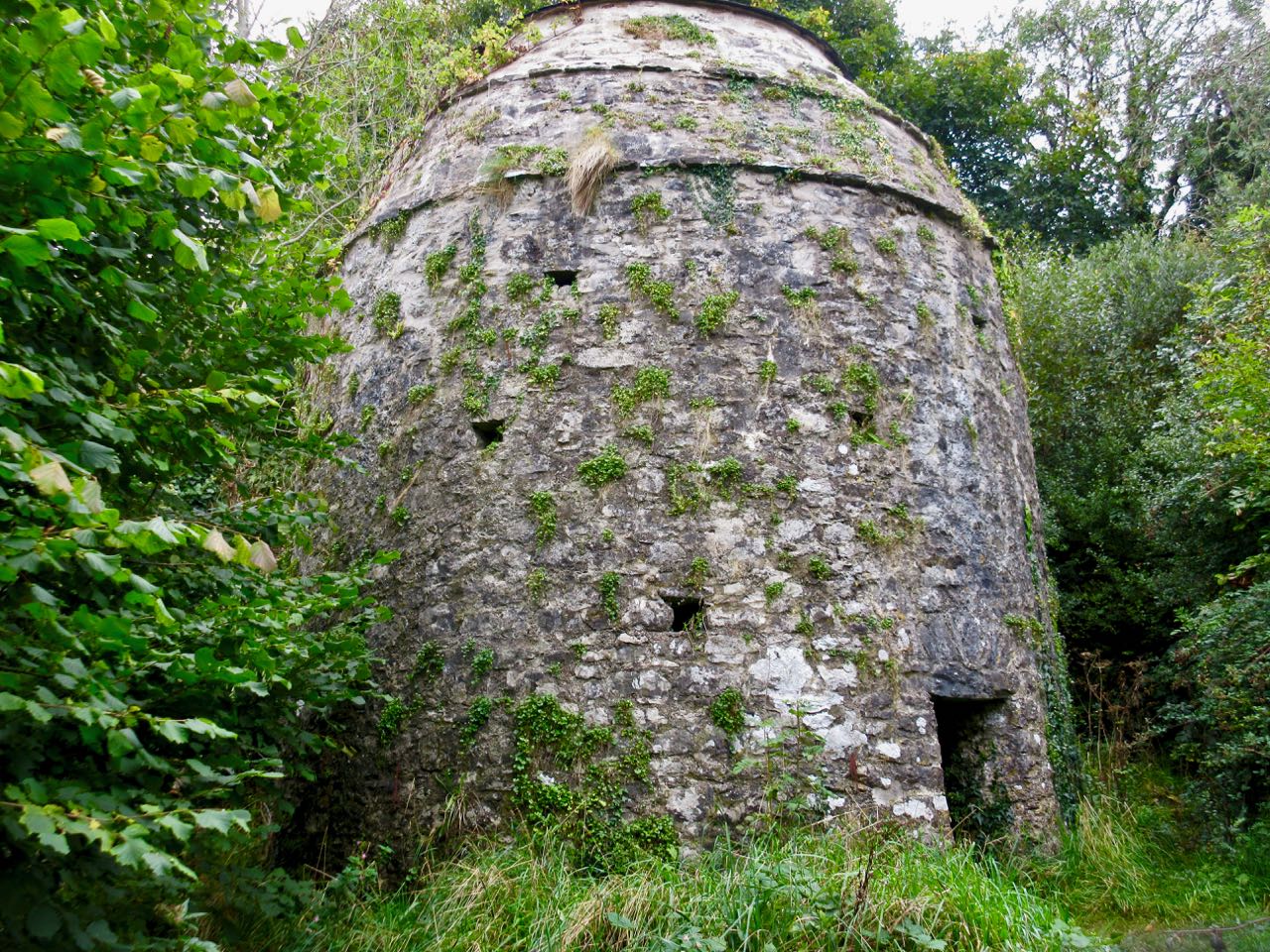
More interesting to me was an ancient dovecote. This was home to about 250 birds. Doves and pigeons laid 2 eggs about six times a year. Squabs (4-6 weeks) were an important food source as were the eggs.
I carried on. It was hazy all day, but did not rain.
I saw many hikers.
Finally. Clearwater East Beach. It was here I was hoping to find a bus.
I walked the sand dunes to town.
Bad news. The chap in the ice-cream truck told me buses after Oct 1st only run once a day each way. The bus I needed had past about 2 hours earlier.
I ended my hiking day here. Had a bite to eat at the only pub in town. And retraced my steps, running most of the flat sections.
Happily, I can now personally confirm that it deservesto be on that list.
Opened 1970, it’s 186 miles (299km). You can hike it in 12 days of about 15 miles.
Few thru hike. But it’s very popular with day hikers.
I knew the area around Tenby had some of the best hiking sections. So decided to take the train from Cardiff to Tenby to start.
A second train got me 2 miles away from the Manorbier Youth Hostel. (It’s in Skrinkle, not Manorbier.) I used my camera flashlight and Maps.me to find my way over dark rural roads. I arrived at the hostel 9pm.
Next morning I fueled up with a hearty Welsh breakfast. And plenty of coffee.
The hostel is perfect. Right on the Coast Path.
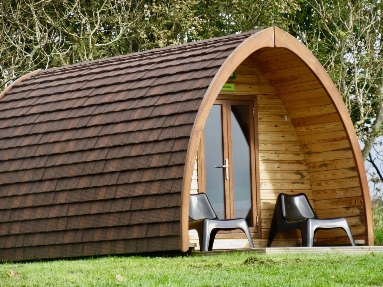
They have inexpensive private rooms, tenting and these cute huts.
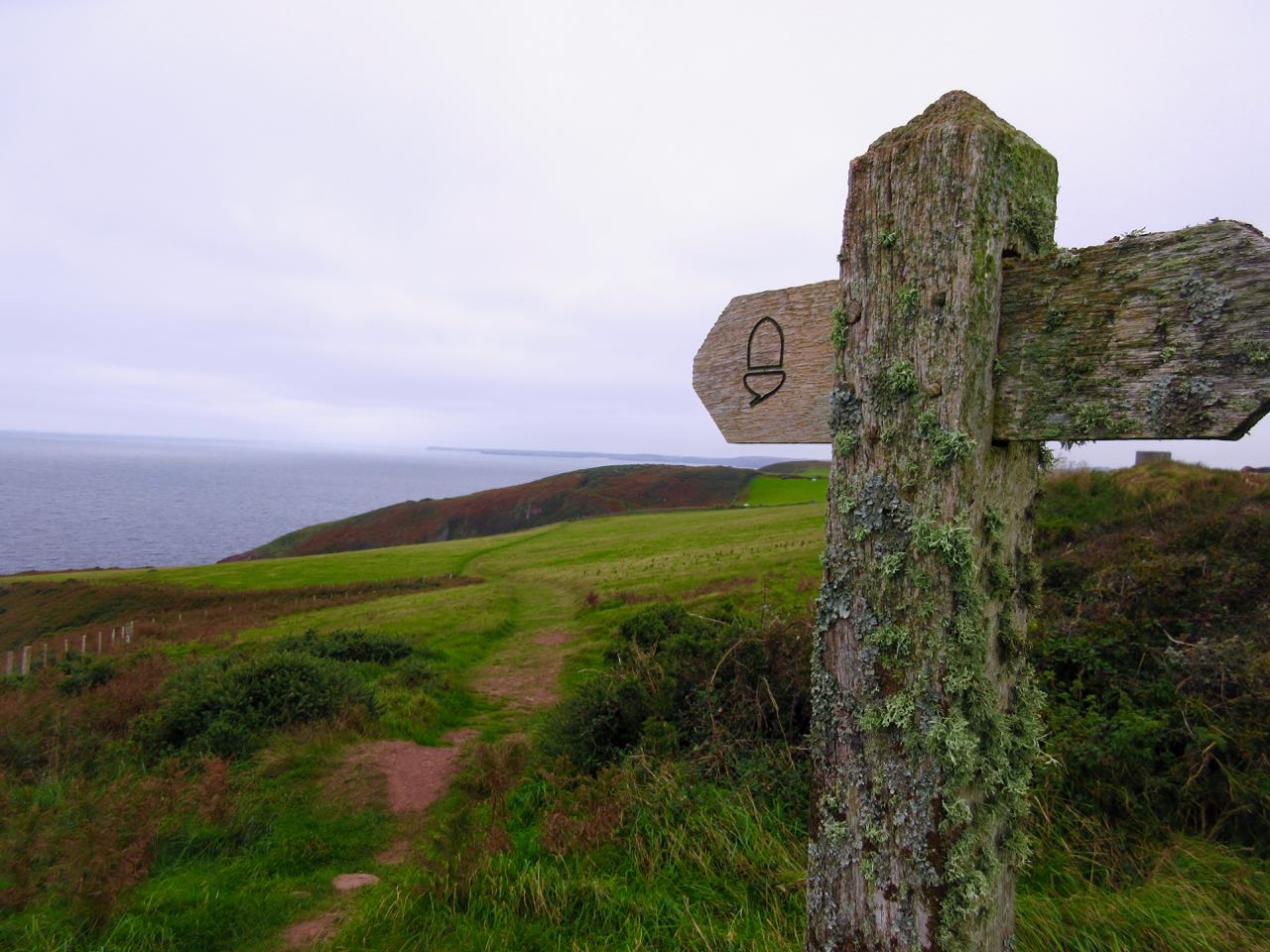
It’s an ideal base for hiking. Head for the water. And follow the acorn blazes.
The weather this day was … Welsh. Threatening. But no rain.
Though parkland, much of the walk has grazing animals staring at you.
As expected, these cliffs are rugged.
It’s an area that that has been much used by the British military over the years. Near Penally you can still see trenches where troops trained during WW I.
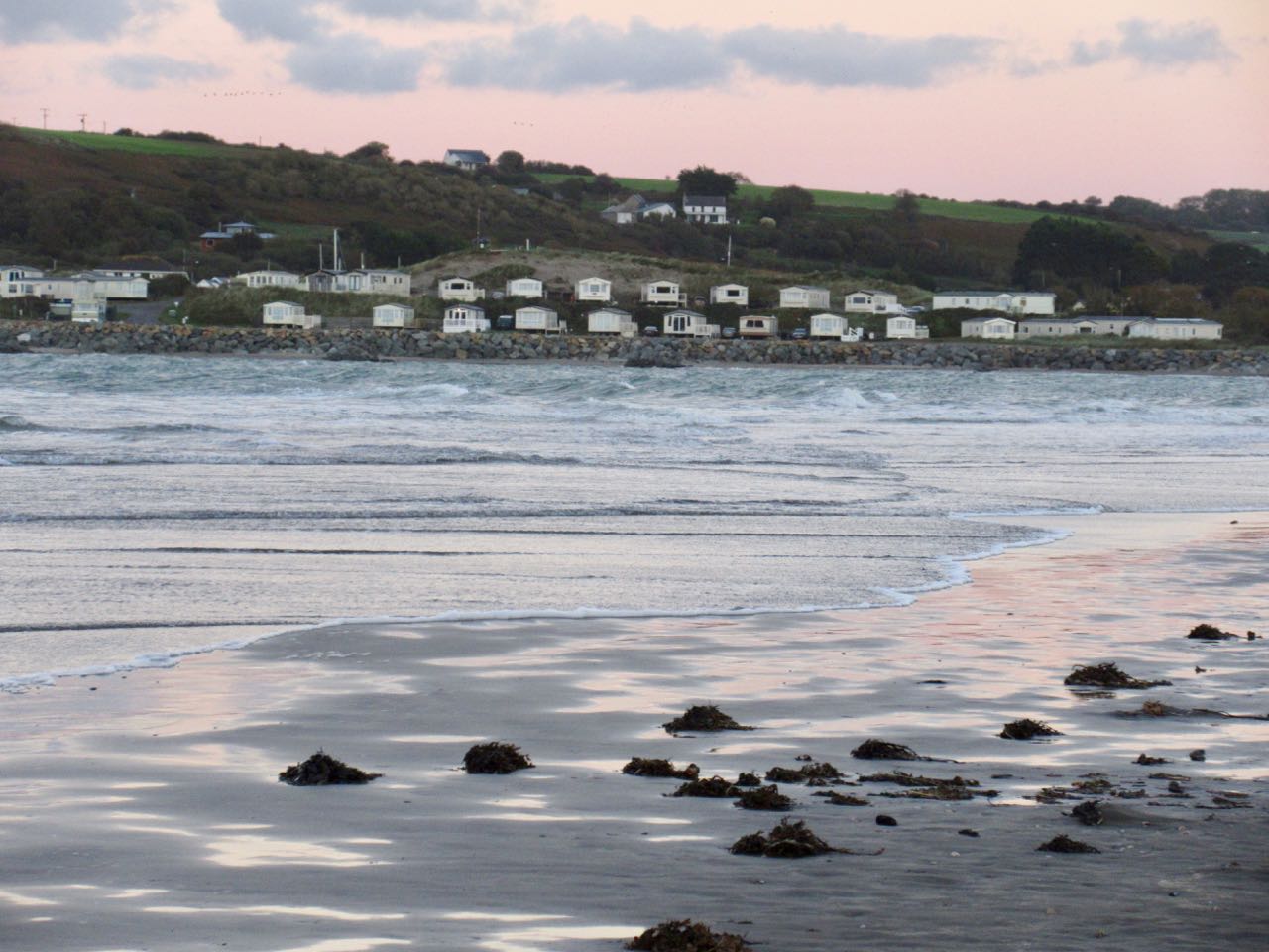
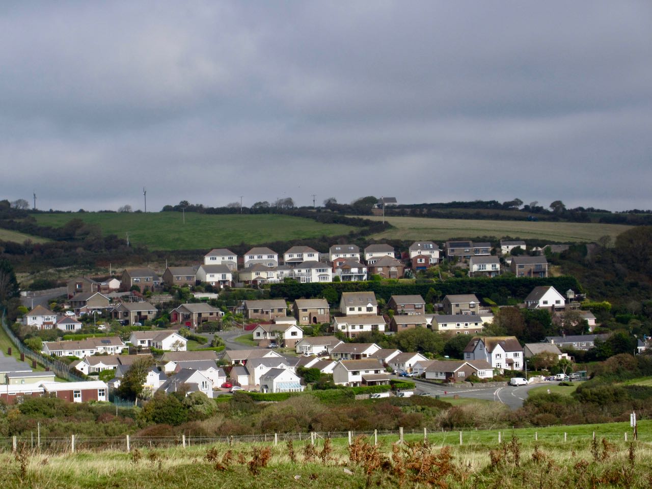
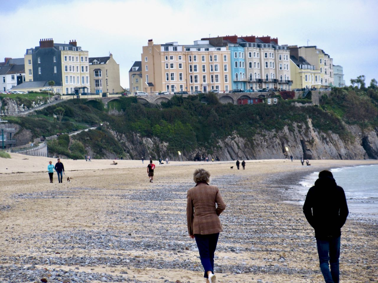
Approaching Tenby you begin to see holiday home trailer parks.
The number of full time residents is smaller than I’d expect.
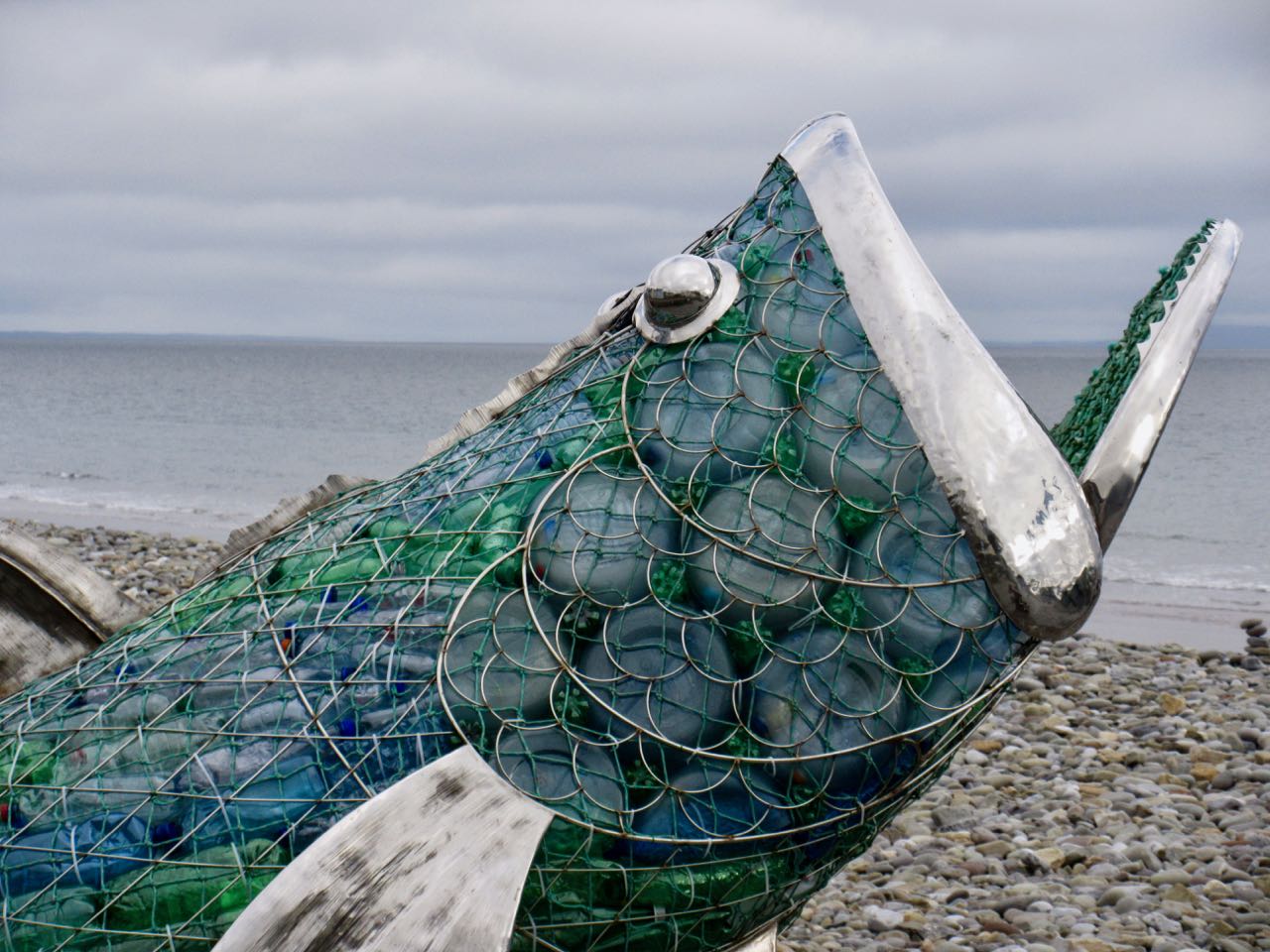
The trail is endless entertaining. There’s always something unexpected around the next corner.
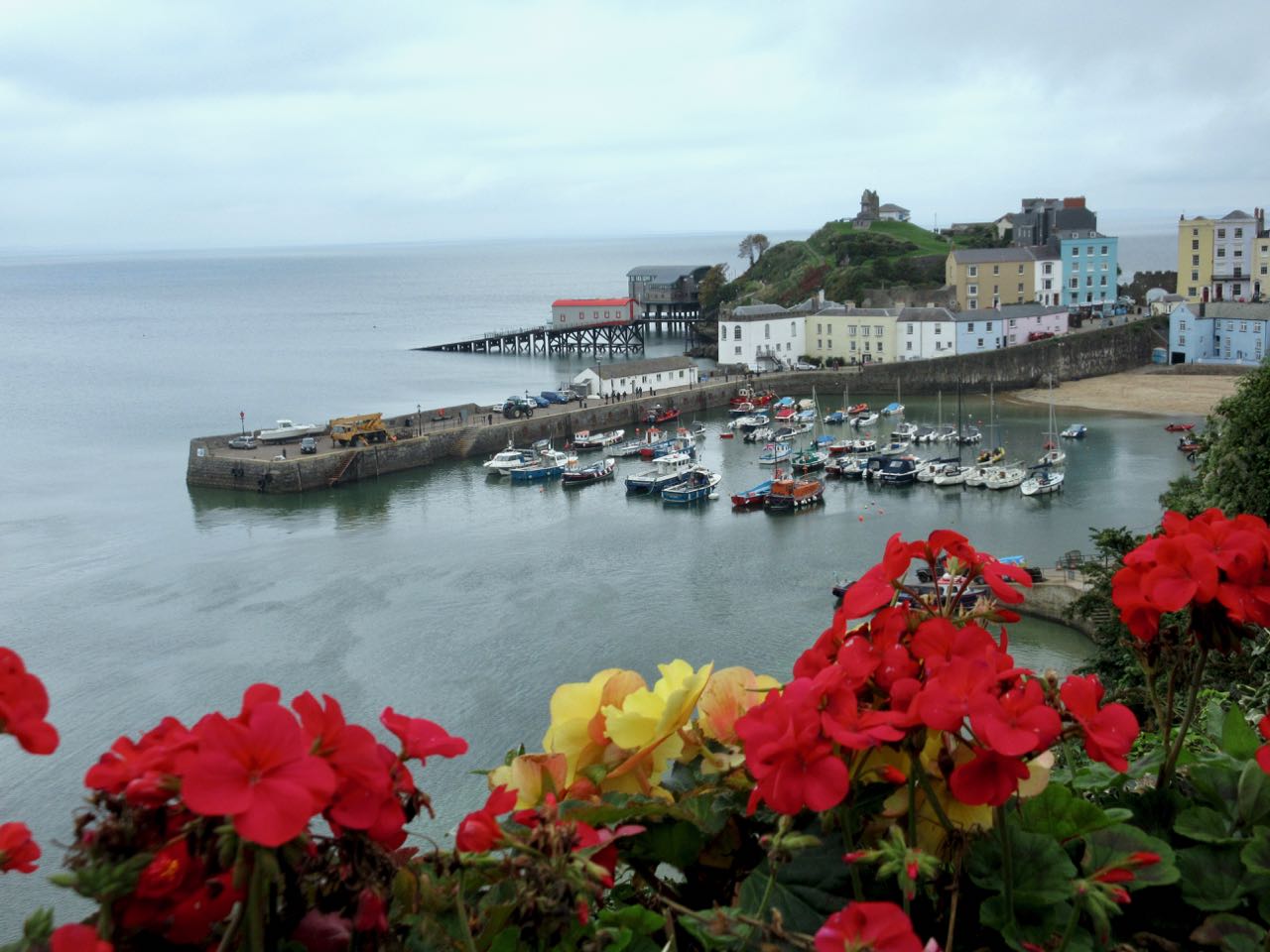
In fact, I’d say Tenby is as cute and interesting a holiday destination as any town I can recall. Visit Tenby and stay 2-3 nights. There’s plenty to do and see.
Past Tenby is one official end of the Pembrokeshire Coast Path. It’s a nice walk to Amroth.
And I was happy to reach the start.
I caught the last bus returning to Tenby. And the last bus from Tenby back to the hostel.
There are buses along the Pembrokeshire Coast Path, but some run very few times a day. Especially during the “winter” season which normally starts October 1st.