trip report by site editor Rick McCharles
day 0 | 1 | 2 | 3 | 4 | 5 | Traverse info page
Upper Estero Mocho > Laguna Avutardas
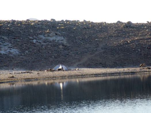
Lonely Planet recommended Upper Estero Mocho for camping … but it isn’t a particularly good site. The water source was standing pools.

We would have been better to camp higher for better water.
Weather continued perfect.

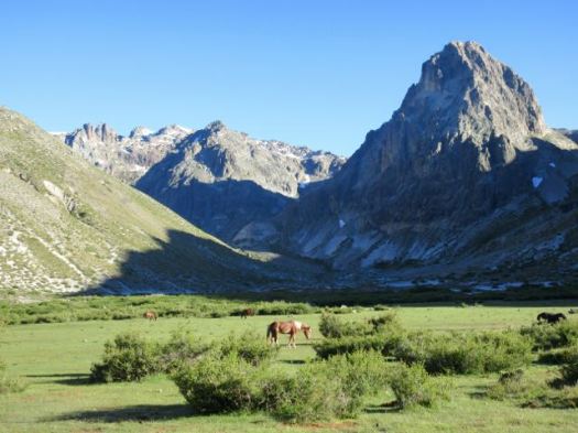
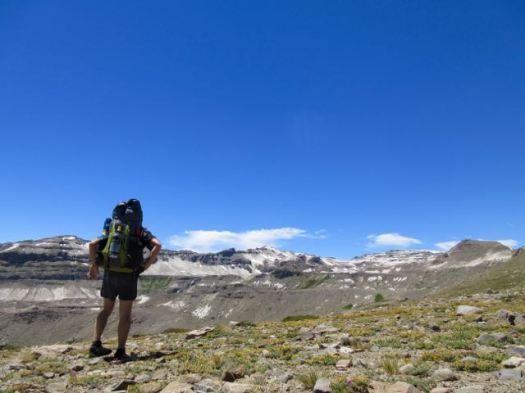
50km of 81 total. We hoped for BIG mileage today as the going was easier.

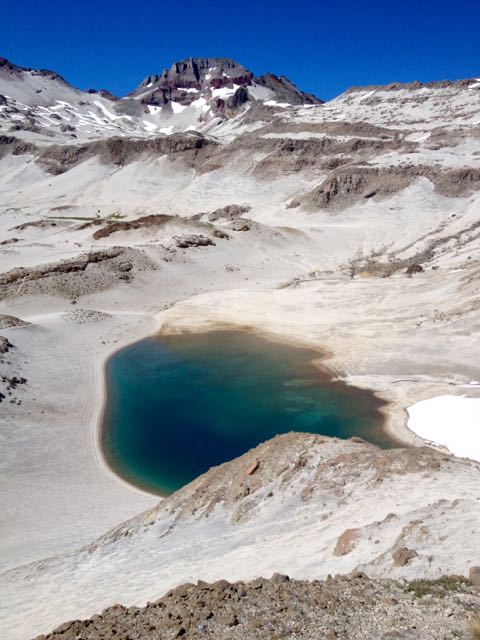
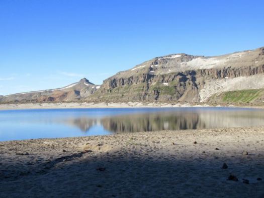
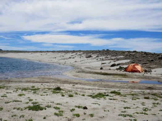
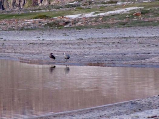
Laguna Azul, out first big lake of the trip.

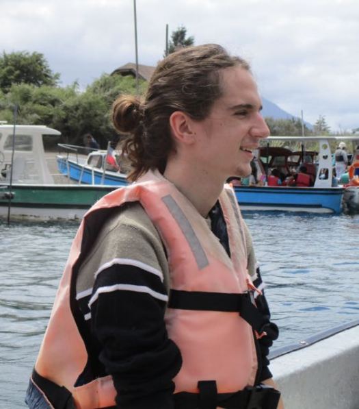
The Brazilians had never seen snow in person until this trip.


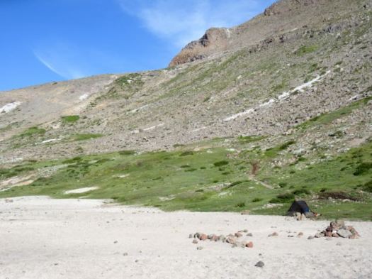
Lunch vista.

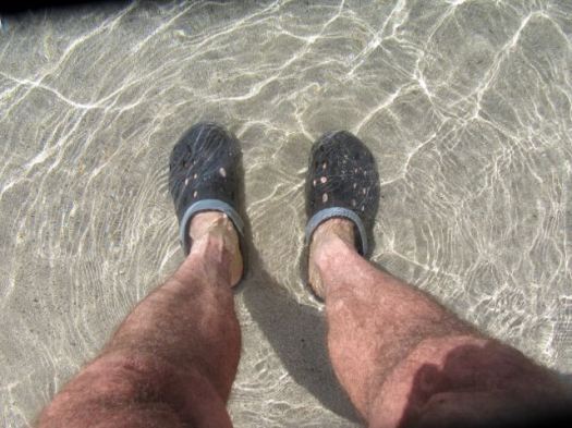
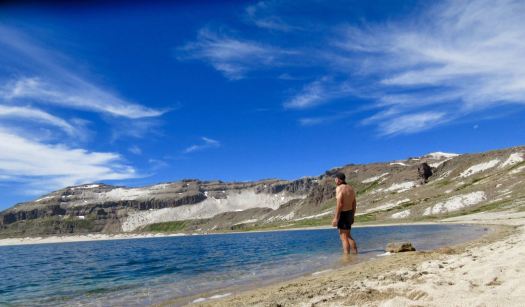
We stopped at the lake, as well.

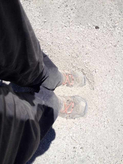
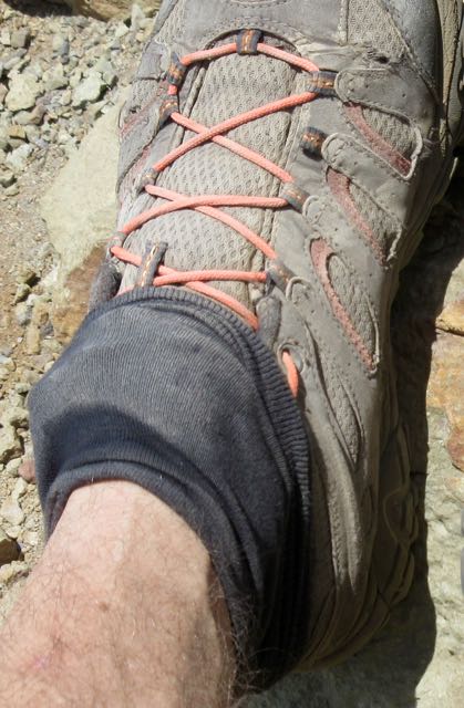
Victor – somehow – lost one of his sandals there. By this point both the guys had switched over from their hiking boots (too small) for sandals.
Victor was forced to put his boots back on despite blisters.

… Or was he?
Instead Victor tried hiking in several pairs of socks with the boot inserts.

I can’t recall ever hiking with anyone using that system. 🙂
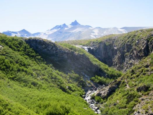
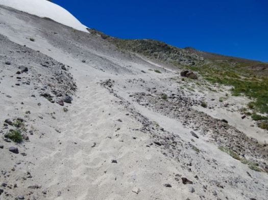
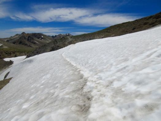
The next section was intensely beautiful.


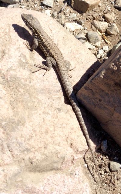
I hoped this lizard would ride along and help me chase away horseflies.

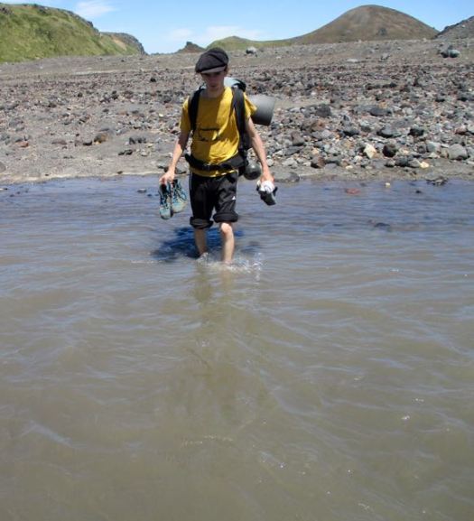
Our only river crossing.
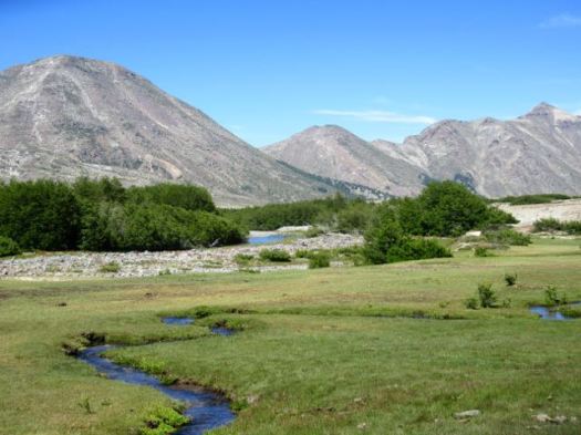
We bypassed Laguna Blanca.

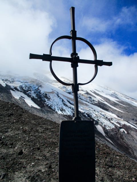
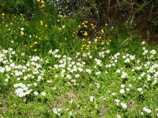
WOW!


This was my favourite section of all. The sky amazing.

Finally we began dropping back down into the trees.


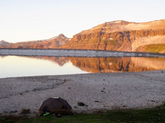
We camped at Laguna Avutardas making this day 25km or more, double the recommended Lonely Planet distance.

There were too many cows crapping in the lake for my liking.

Again I walked back for better water.
This curious calf came to visit. We again were again hiding out in our tents to frustrate horseflies.