Trip report by BestHike editor Rick McCharles.
- dangerous
- 10 hours
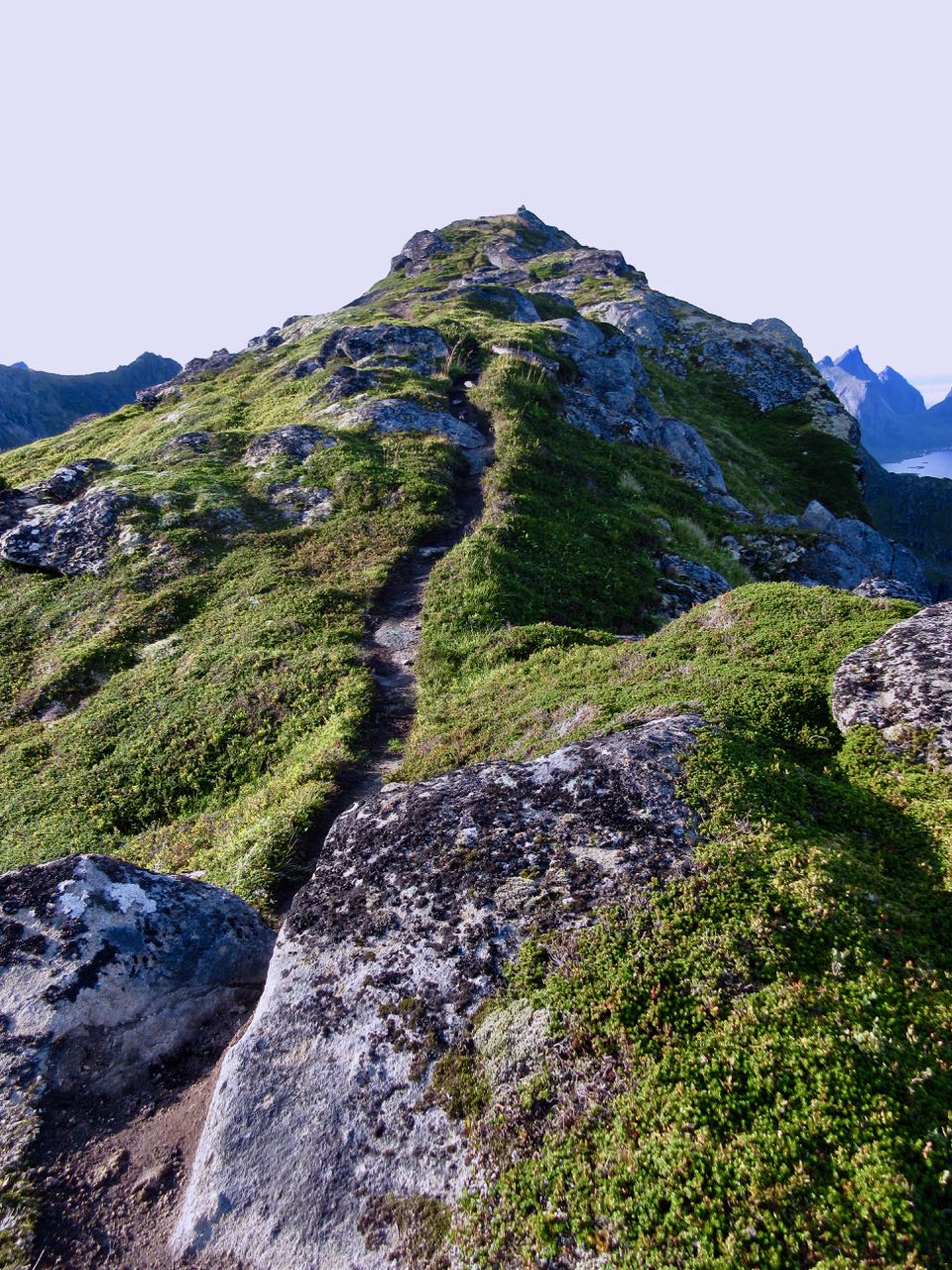
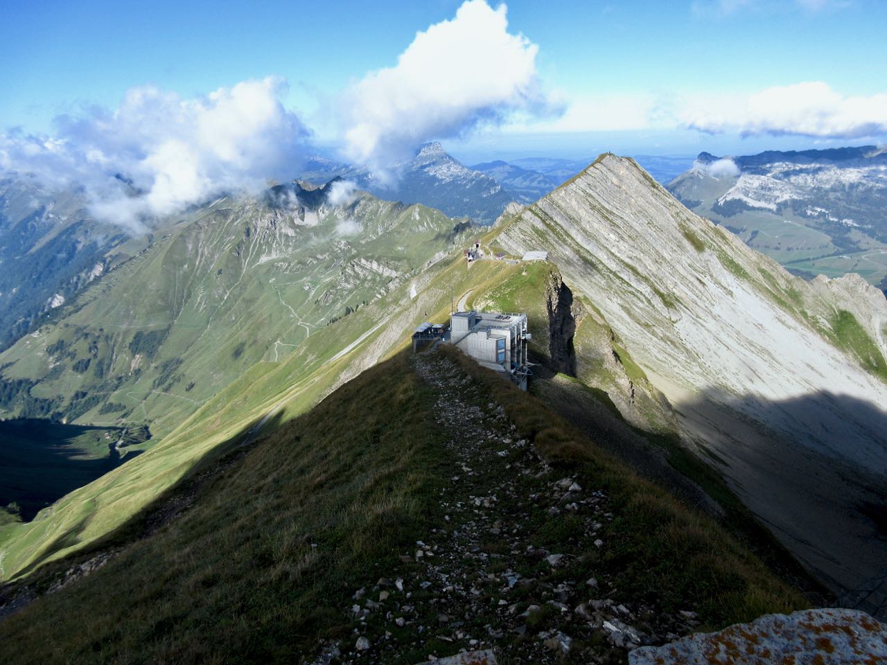
- at least 18km on sharply defined ridge
- should absolutely never be attempted when wet
- plenty of exposure on both sides
- frequent scrambling required
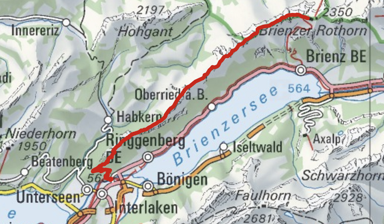
- Brienz to Interlaken with rail assistance getting up to and descending from the ridge
Don’t hike the other direction. Logistics are easier starting in Brienz. And it’s safer as the last 2 hours (when your legs are tired) is on easier trails.
 I got up early in Interlaken, ready for my free hostel breakfast starting 7am.
Every half hour a train runs from Interlaken to Brienz for 8.20 francs (2018).
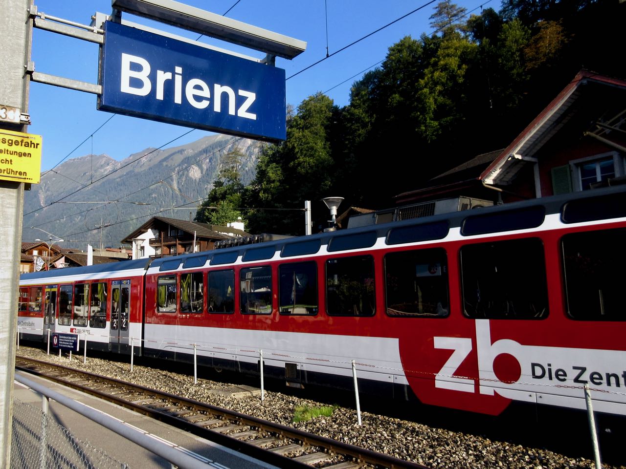
Happily I made the first steam train — 8:36am — from Brienz to Brienzer Rothorn Station. It’s been making this run since 1891.
 Price is reduced to 28 francs for the first train (2018) to encourage folks to get as early a start as possible on their hike.
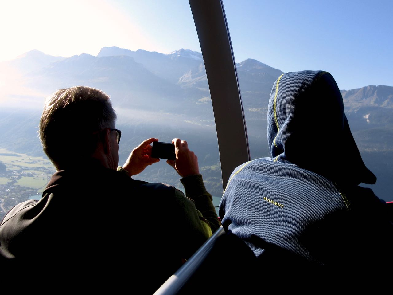
At 9km / hour it takes an hour to get to the top of the ridge 2351m.

If clear, you can enjoy distant views over to Jungfrau highest peaks; the Eiger, Mönch, Jungfrau, Schreckhorn, Finsteraarhorn.


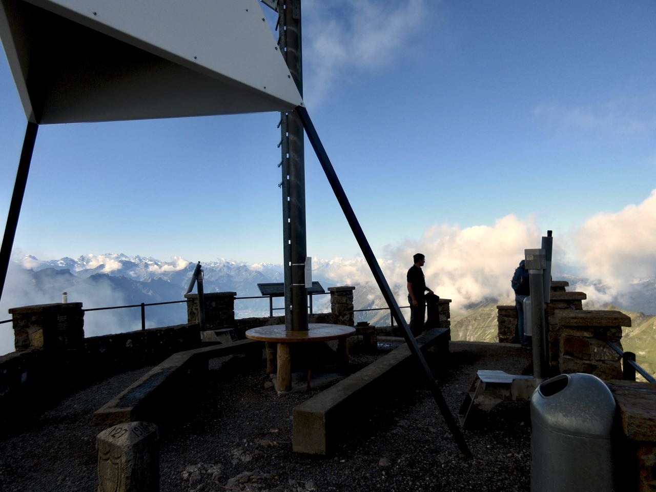
I climbed up to the viewpoint. This is as far as most tourists hike.
Looking down on Brienzer Rothorn Station.
At 10am I started to walk back to Interlaken. I would have about 11.5 hours to make the last teleferico down from Harder Kulm Restaurant. Otherwise I’d have to walk down in the dark.
You can’t really get lost. Follow the ridge no matter what.

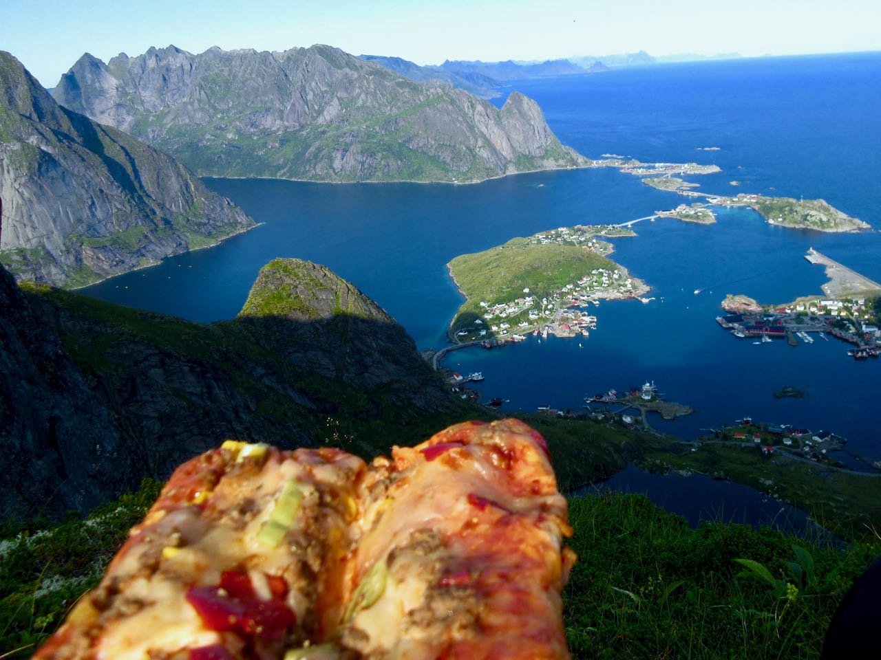
The weather was perfect.
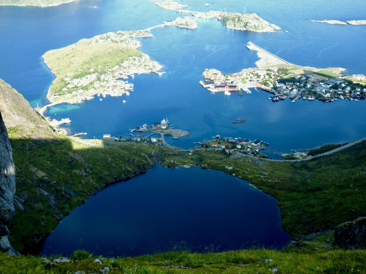
You have Brienz lake on one side …
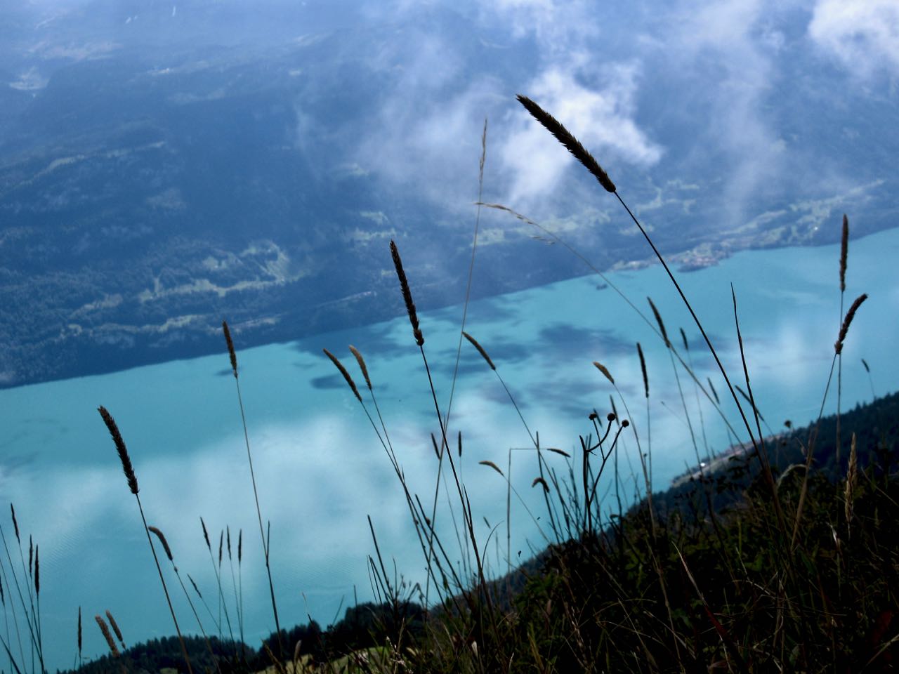
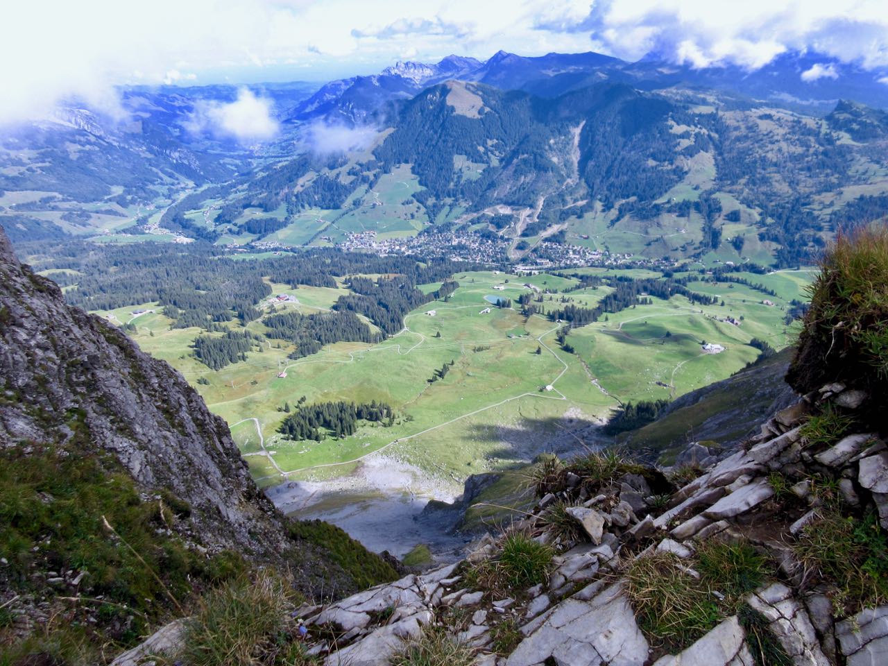
… and Swiss foothills on the other.
I loved it instantly.
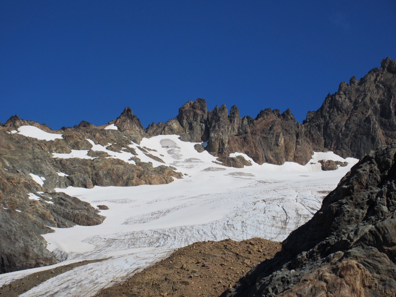
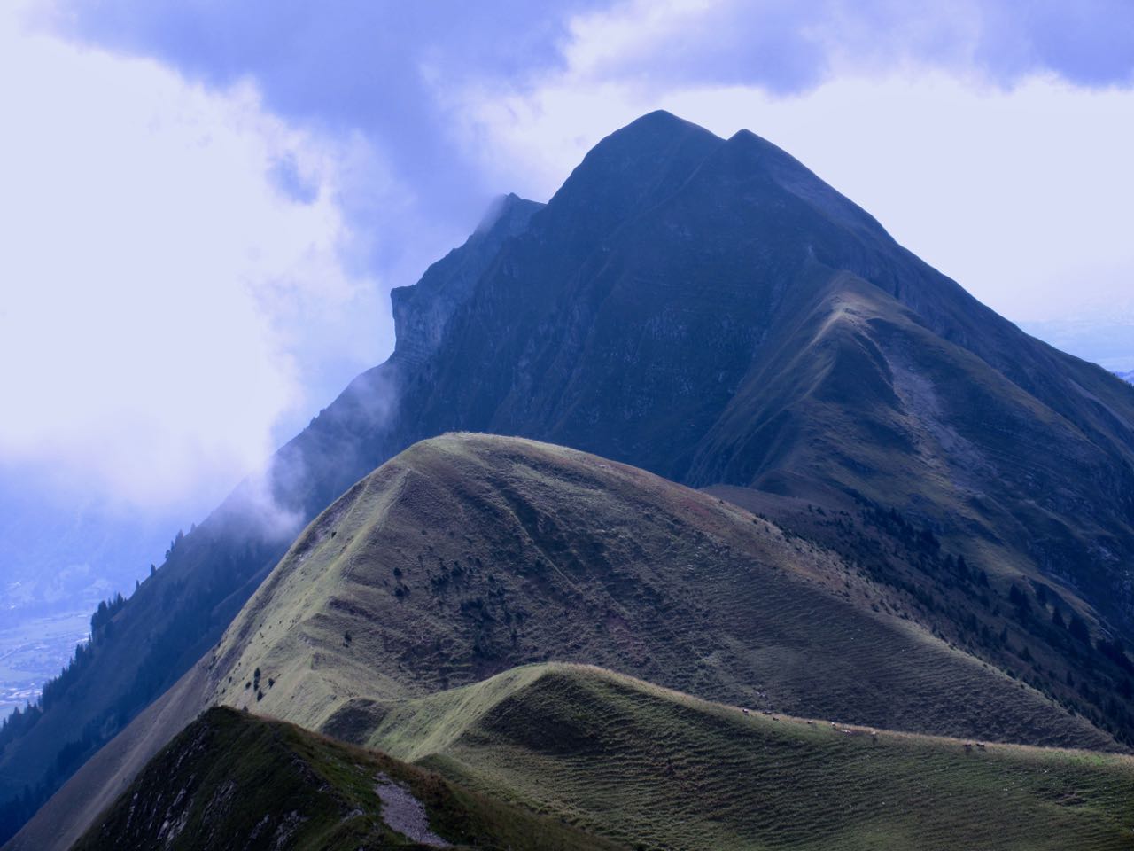
Most of the time the ridge is not all that intimidating.

It often looks worse than it turns out to be.

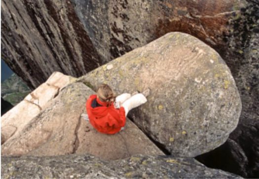
I’d heard everyone who comes up here sees ibex. … Are these ibex?

This adventure is more popular with trail runners than with hikers as they can easily make it in less than 10 hours.

I took very few breaks. Other than checking the GPS on my phone, I had no idea whether I was moving quickly enough to finish in time.

Each time I’d climb a high point on the ridge, even higher points would come into view.
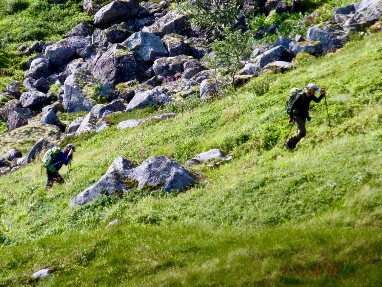
I don’t think I saw another person over the first 5 hours.
Sadly I seemed to be a lot closer to Brienz than Interlaken.

There are sections with stairs, cable and chain assistance. These would be most useful when down climbing in wet conditions.

Hmm … I might finally be past half way.

I tried to quicken my pace on the easiest sections.
There are many more day hikers on the Interlaken end of the ridge. They assured me I’d make it on time.

The last 2 hours stays on the ridge, but you are mostly in the trees. It was the least interesting section … but I was pleased to have less exposure as my legs got tired.
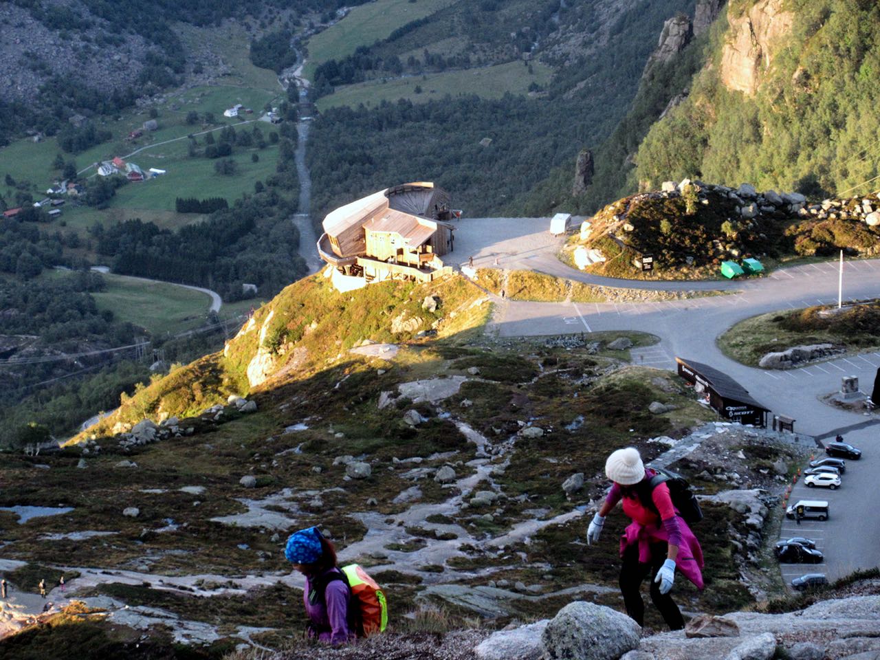
Here it is at last. Harder Kulm Restaurant.

The last funicular descends at 9:10pm. If it’s busy they may run until 9:40pm.
I gladly paid 16 francs and found the short trip down very interesting.
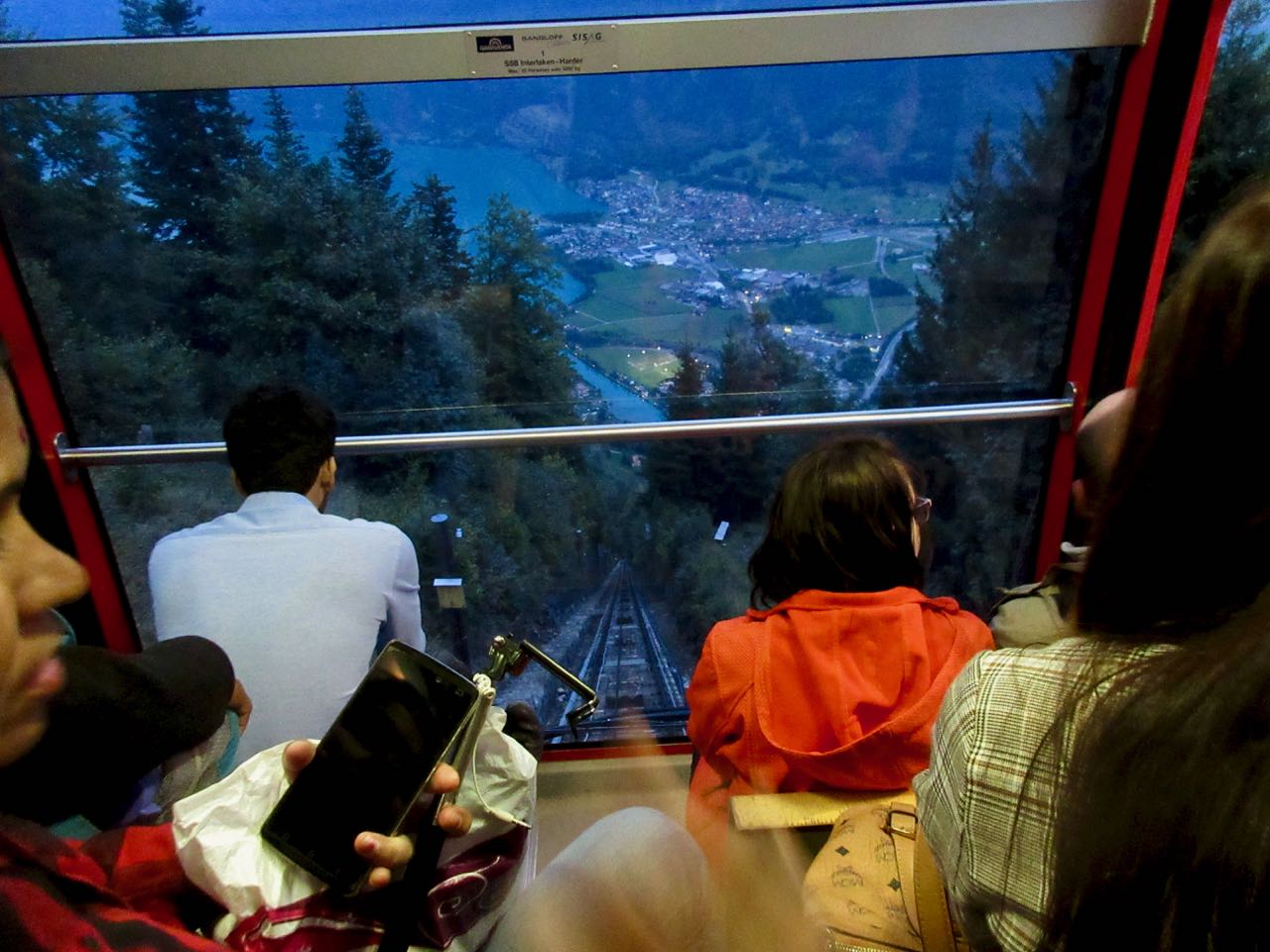
It was dark by the time we arrived Interlaken.

And I was quite dehydrated. I’d brought only 1.5 litres with me. I could have used about 3 litres.
When I got back to the hostel I announced it was the best day hike of my life.
Click PLAY or see if I look happy on YouTube.