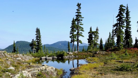
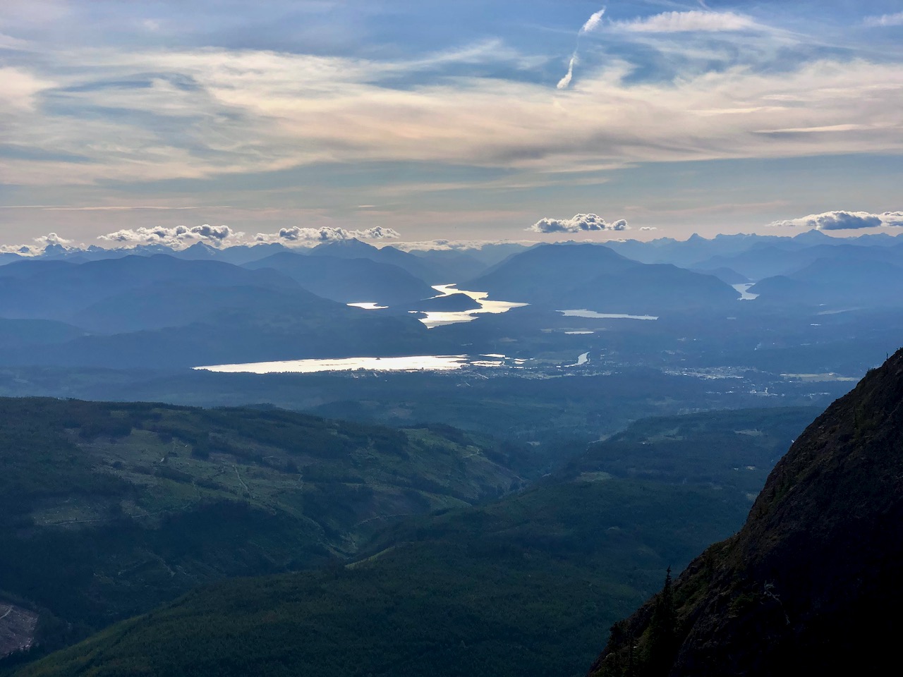
If you’re looking for a long but glorious out and back day hike in Kananaskis Country then the Centennial Ridge hike up to Mount Allan should fit the bill.
If you want to turn it into an epic day, do the Centenial Ridge hike one-way and then from the summit of Mount Allan descend to Dead Man’s Flats. You’ll need a car shuttle to do that. …
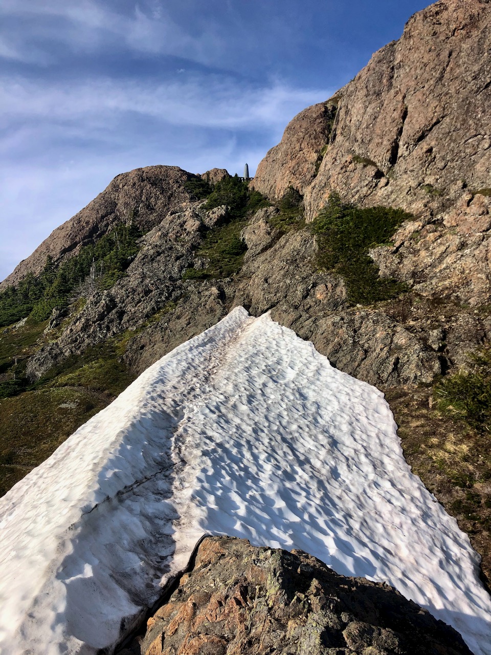
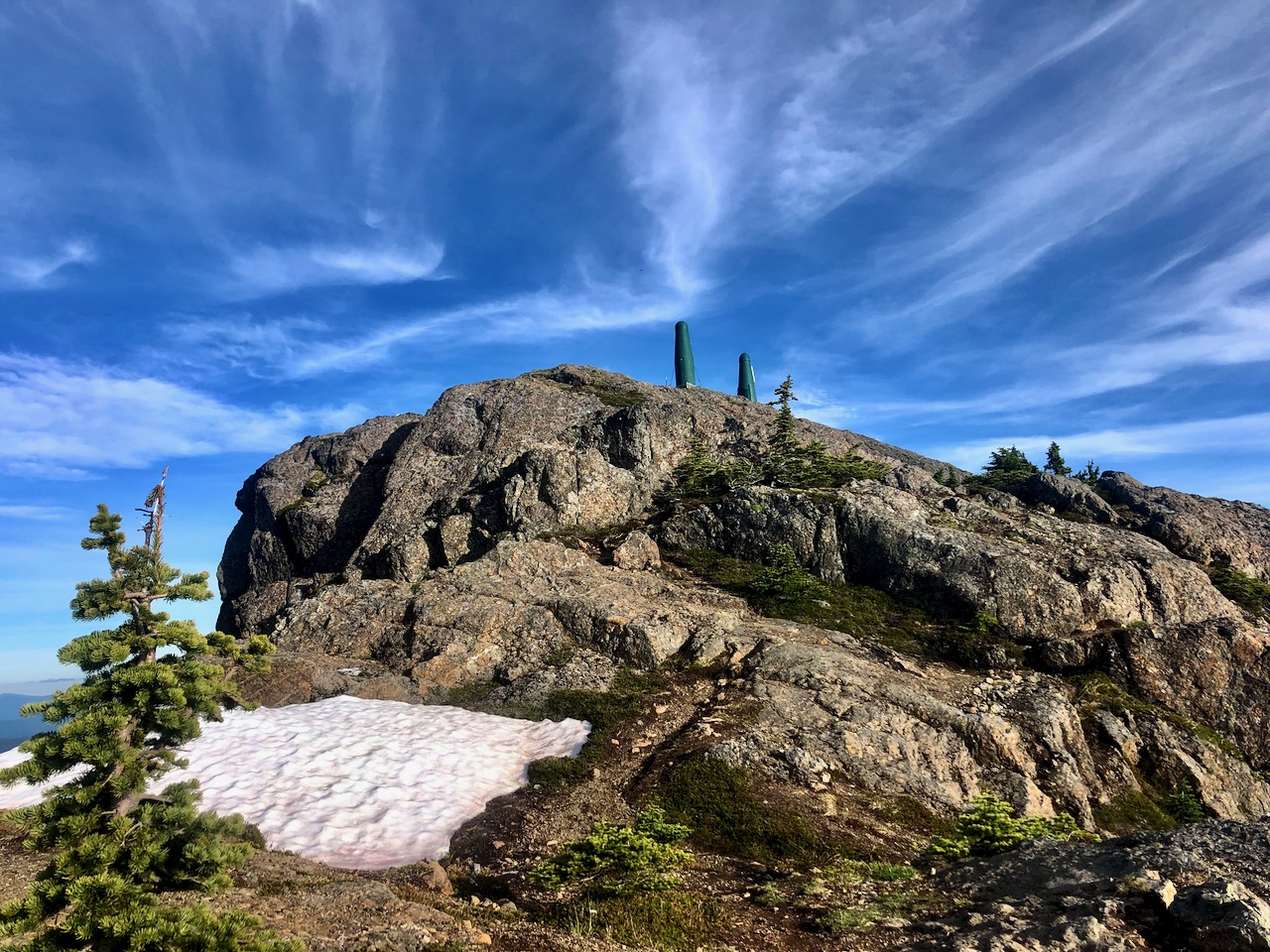
It’s a tough 7.8 kilometre hike to the summit of Mount Allan via the Centennial Ridge – with an elevation gain of 1,356 metres.
The summit sits at 2819 metres, ensuring it’s the highest trail in the Rockies, at least according to Gillean Daffern. Your knees, feet and hips will probably feel it by the end of the day. …
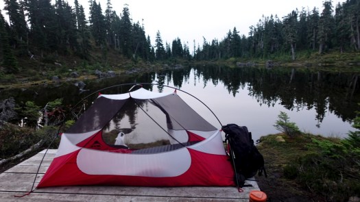
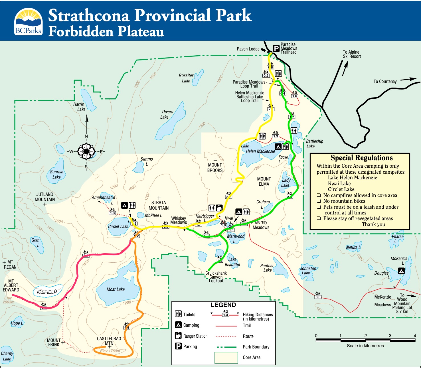
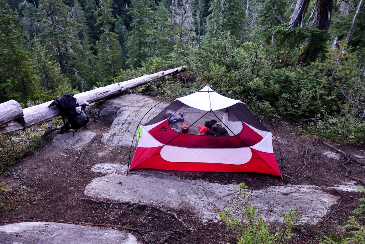
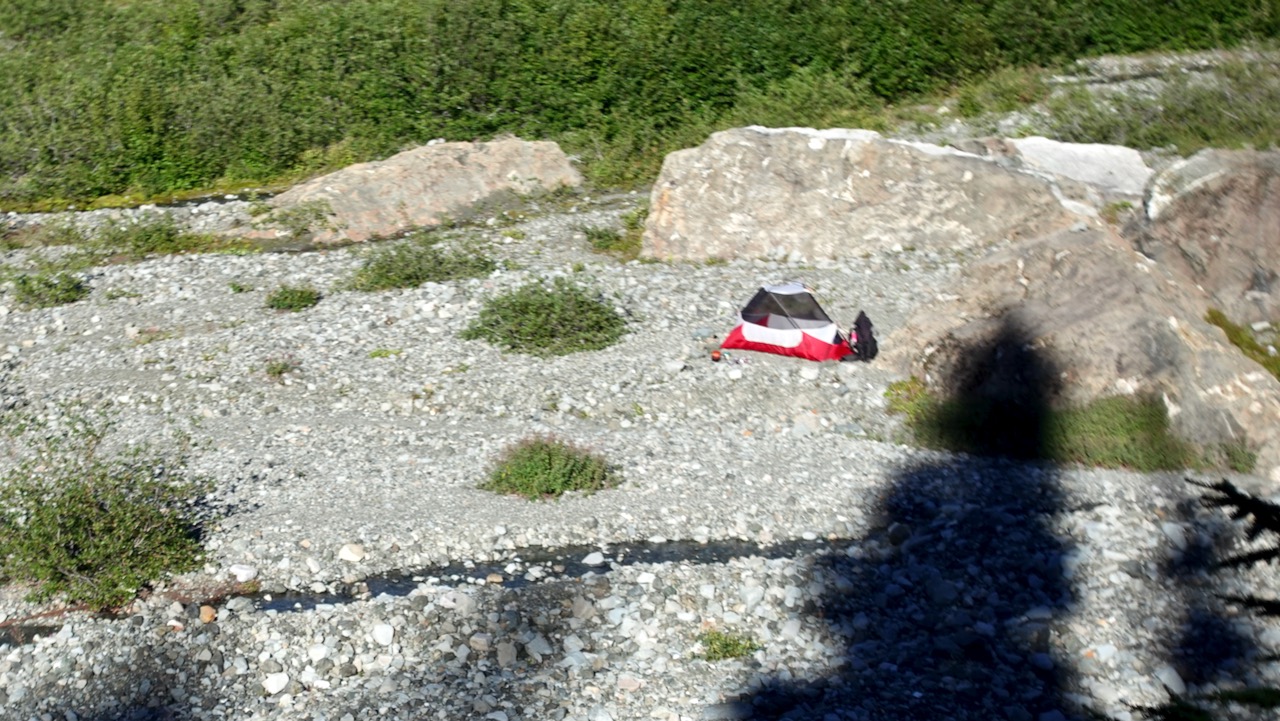
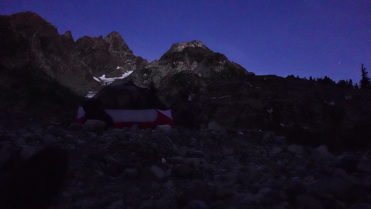
I camped 3 nights at Circlet Lake altogether. Lovely.
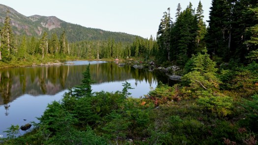
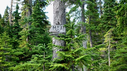
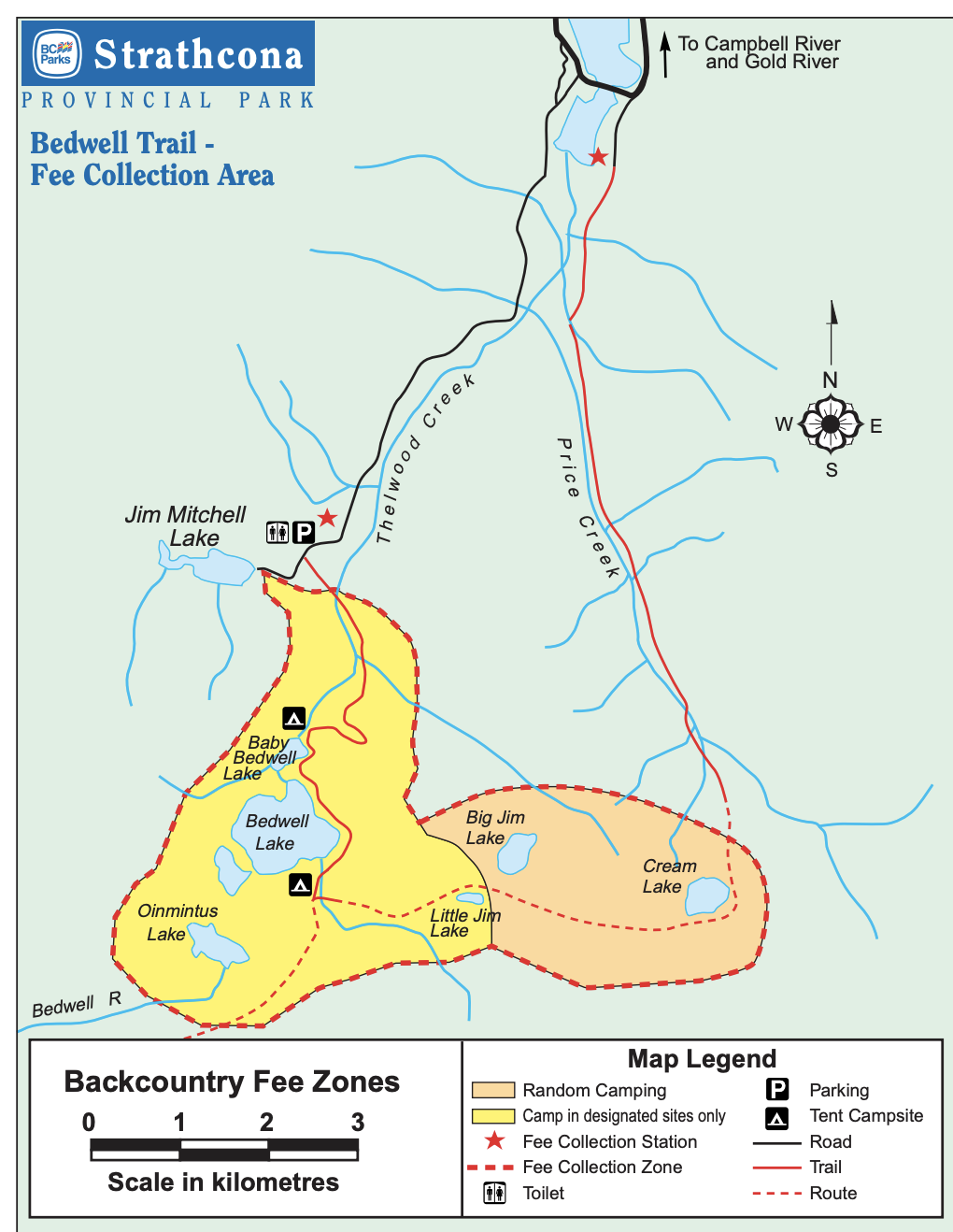
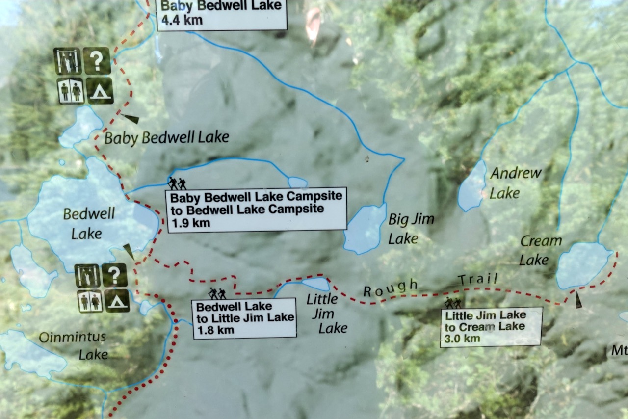
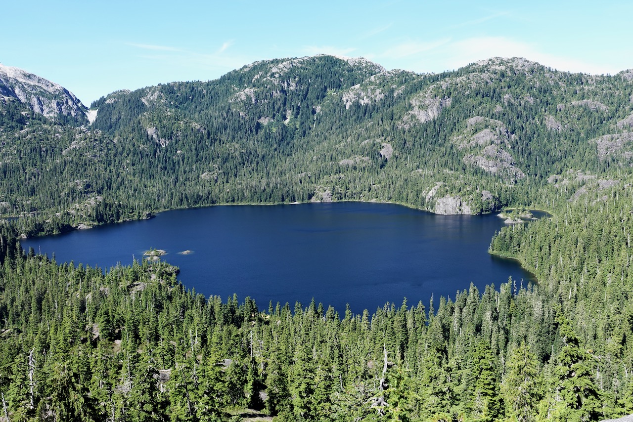
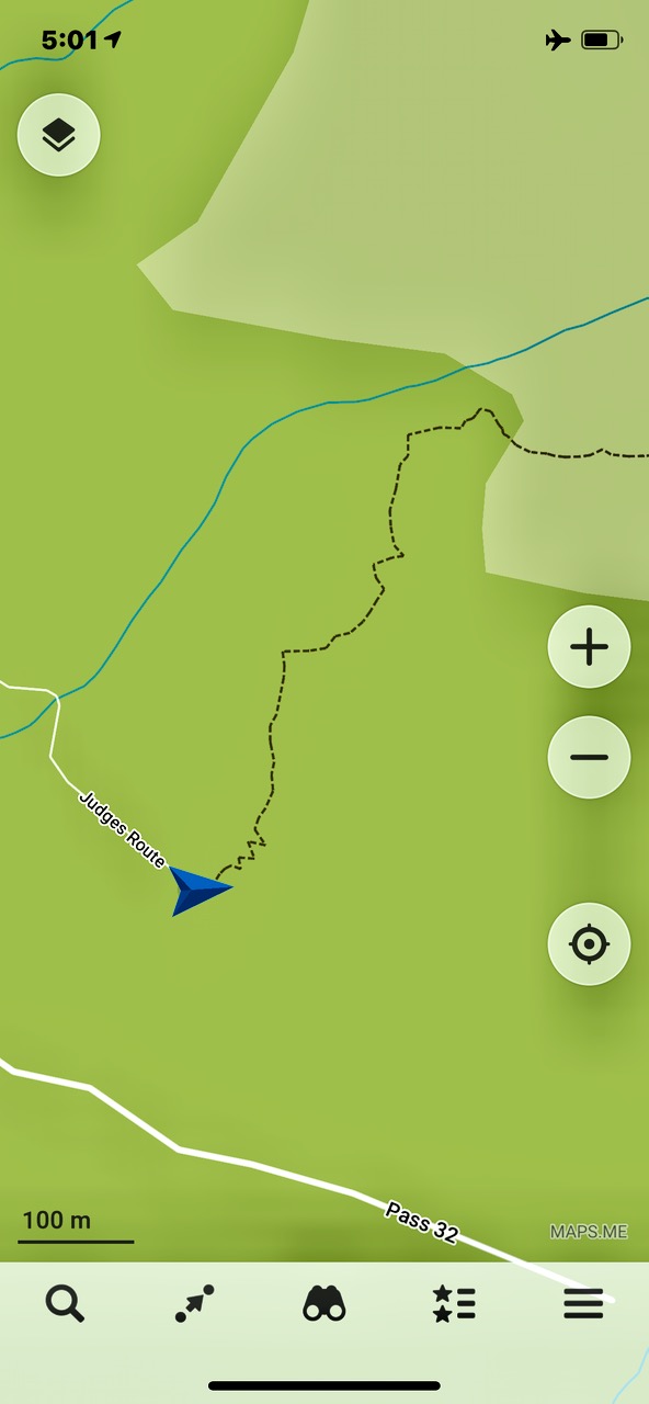
From Circlet it’s not far to the Castlecrag trail marked in orange on the map. Look for the sign to Moat Lake.
Click for LARGER version.
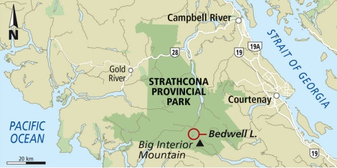
I hiked the route marked in orange. Here’s the original Park map online.
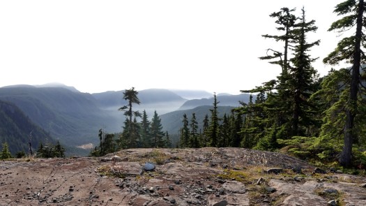
This was a foggy and somewhat hazy day.
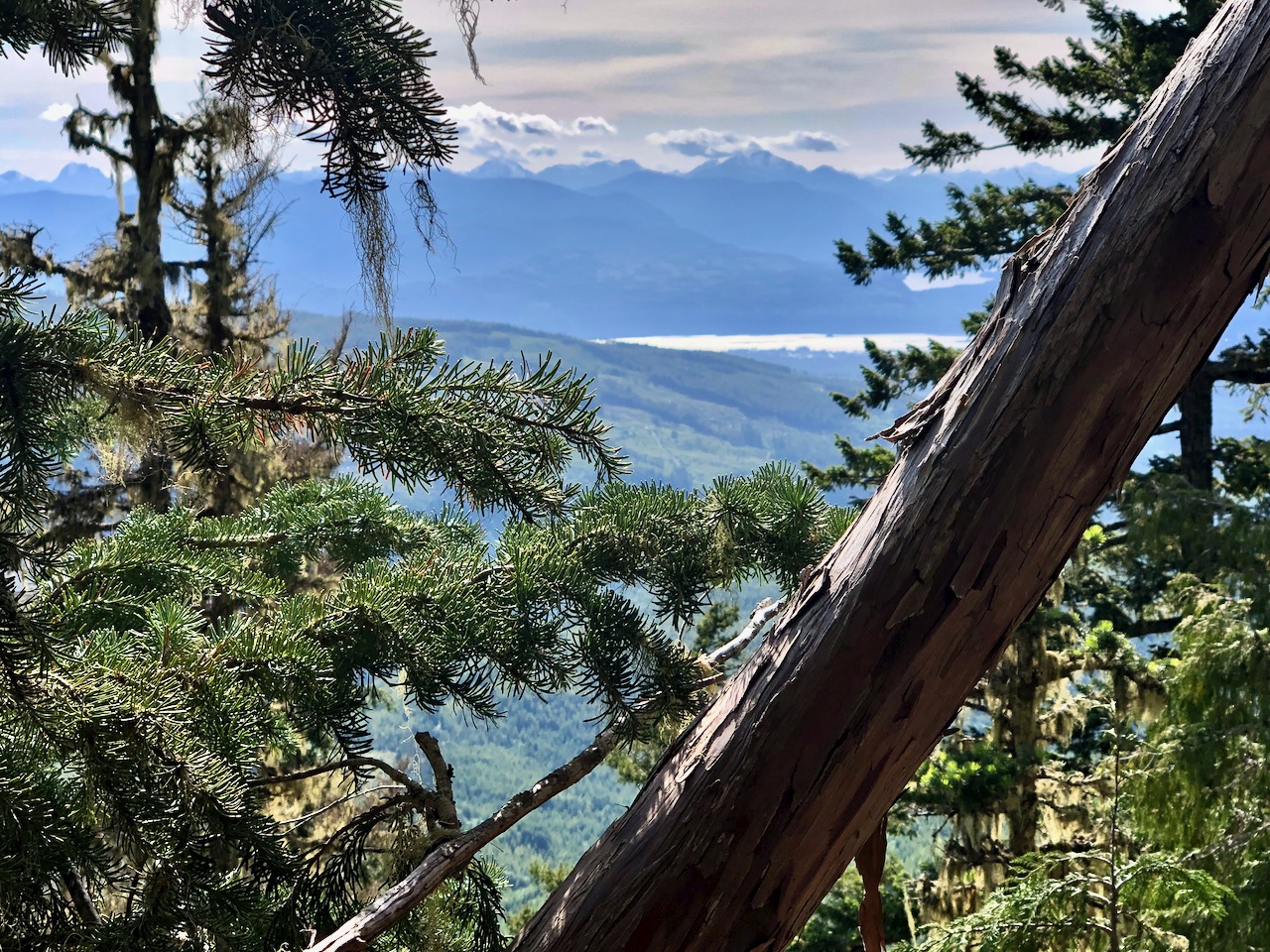
But plenty clear enough to see where I was headed.
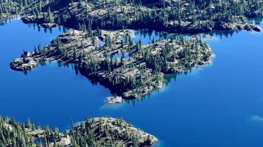
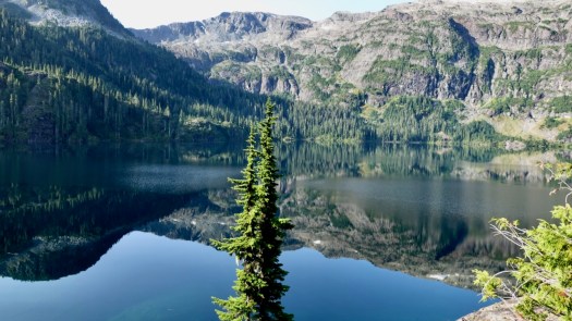
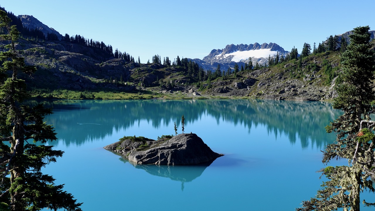
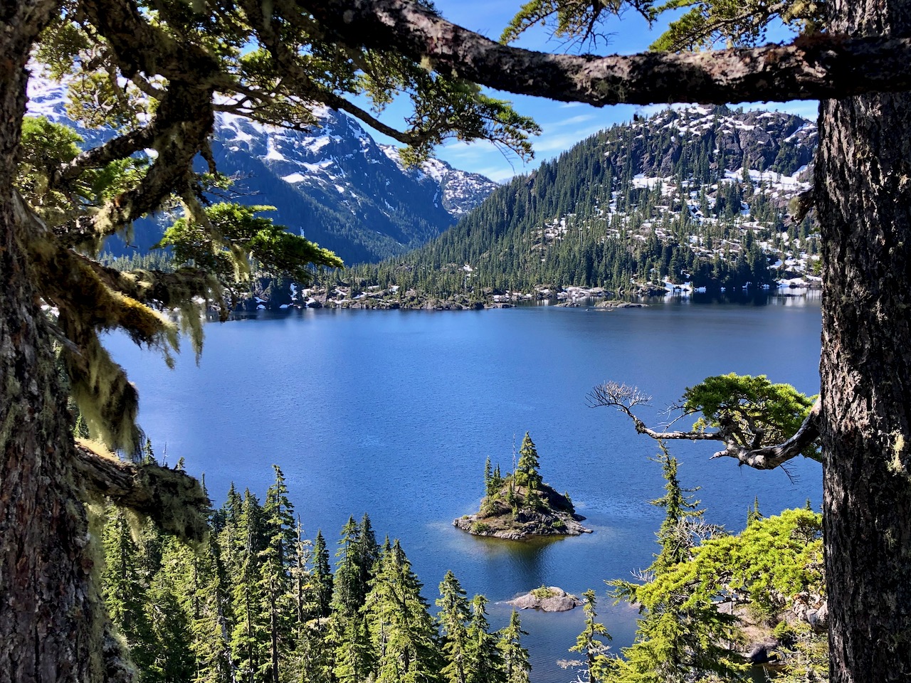
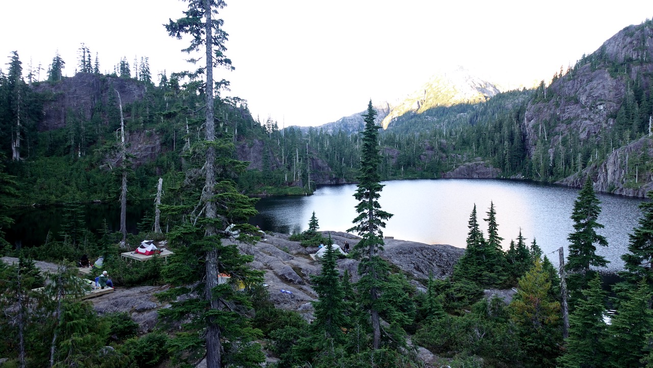
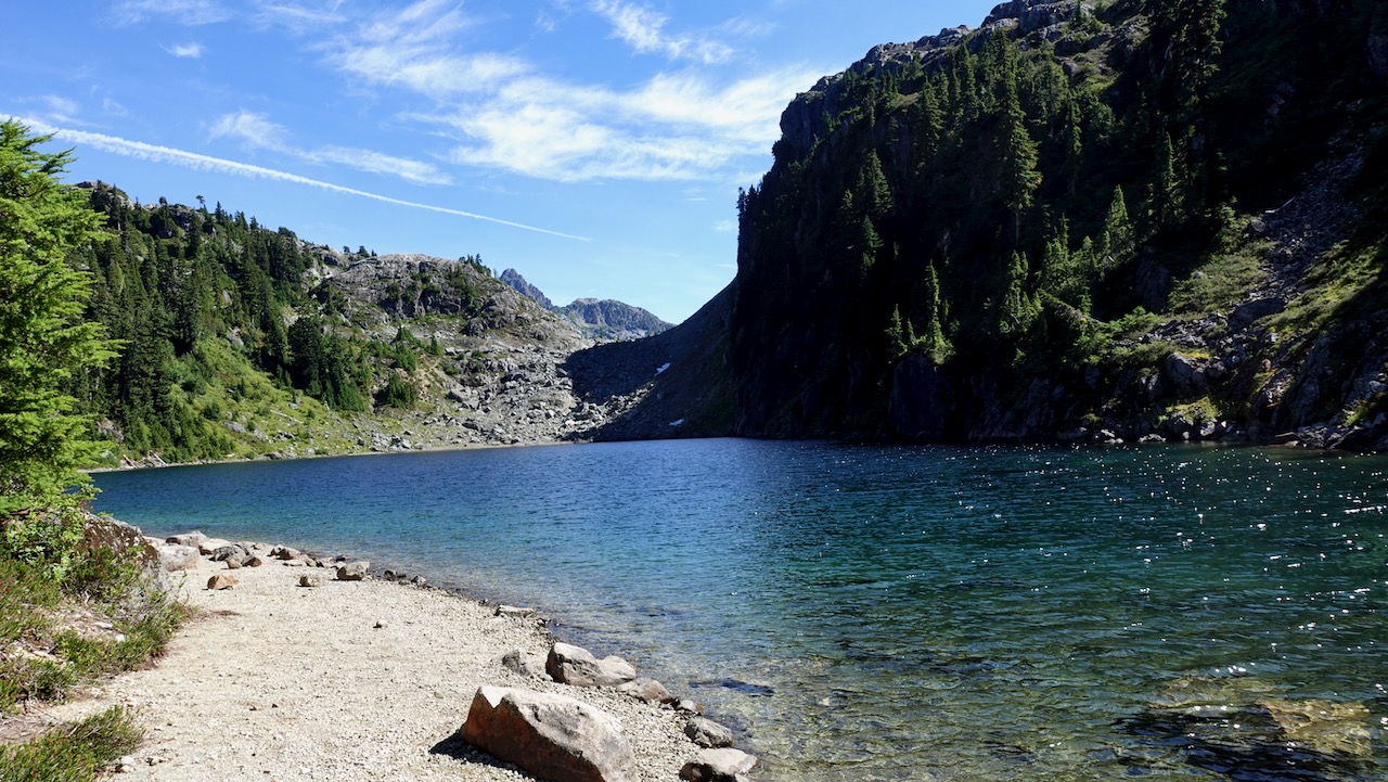
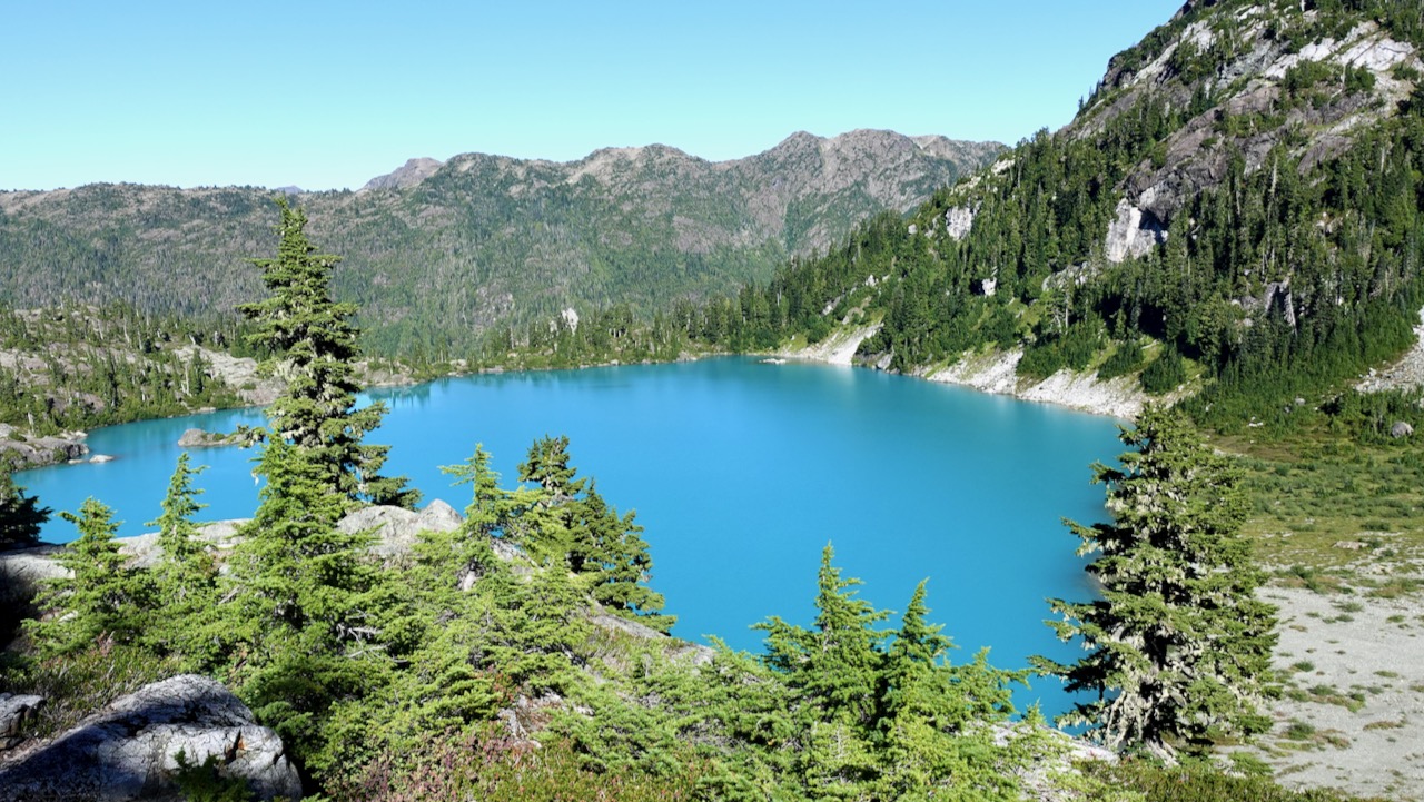
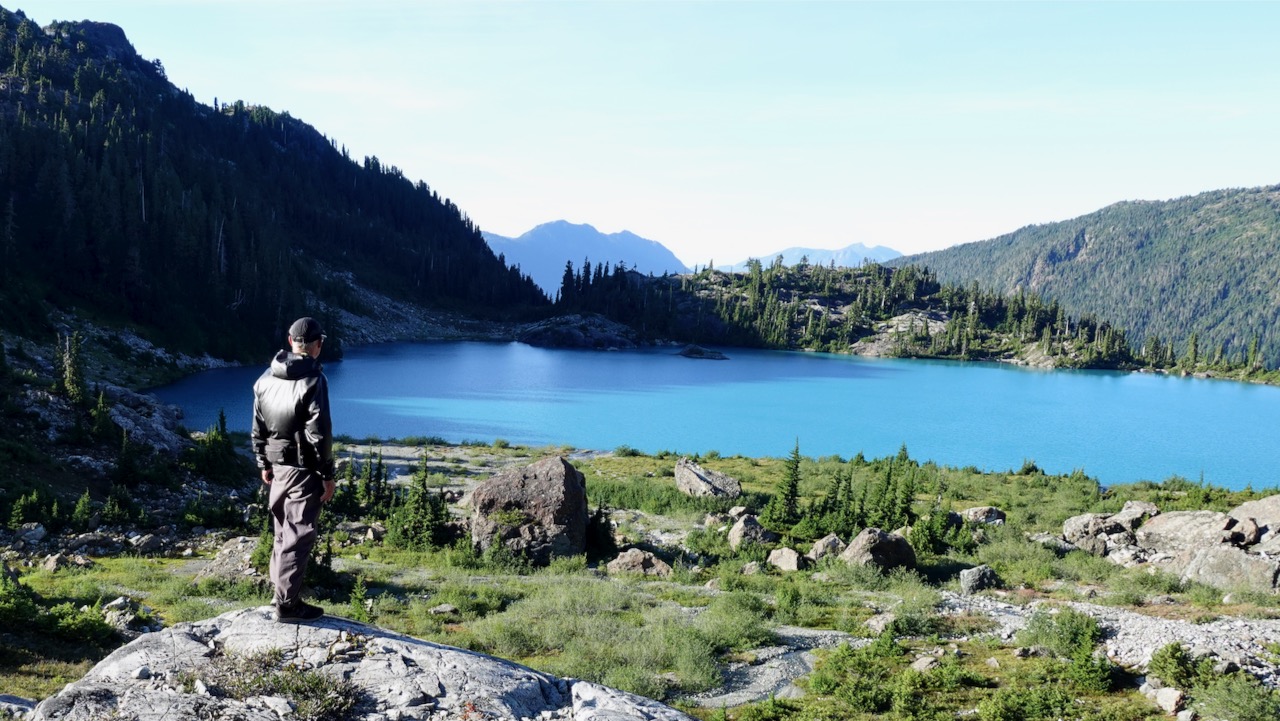
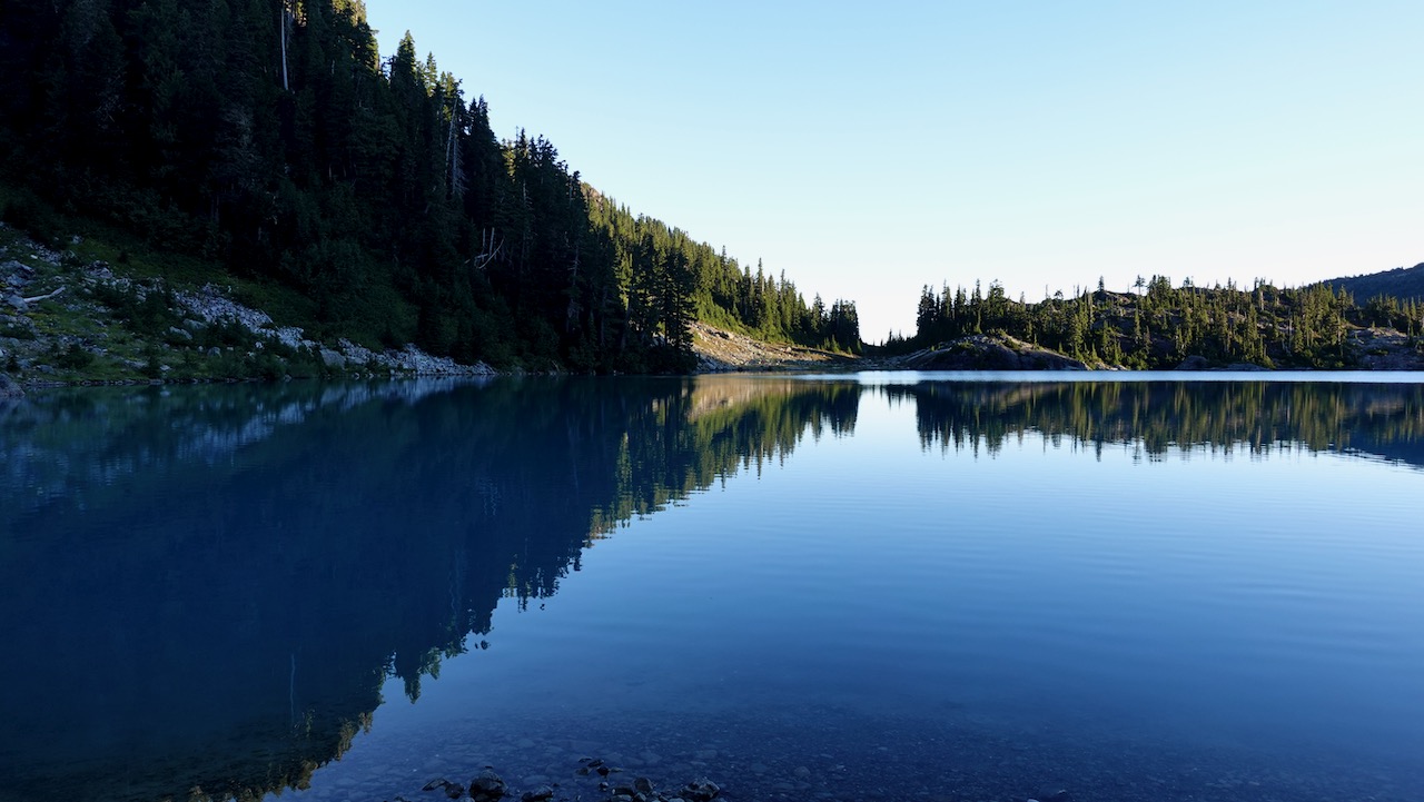
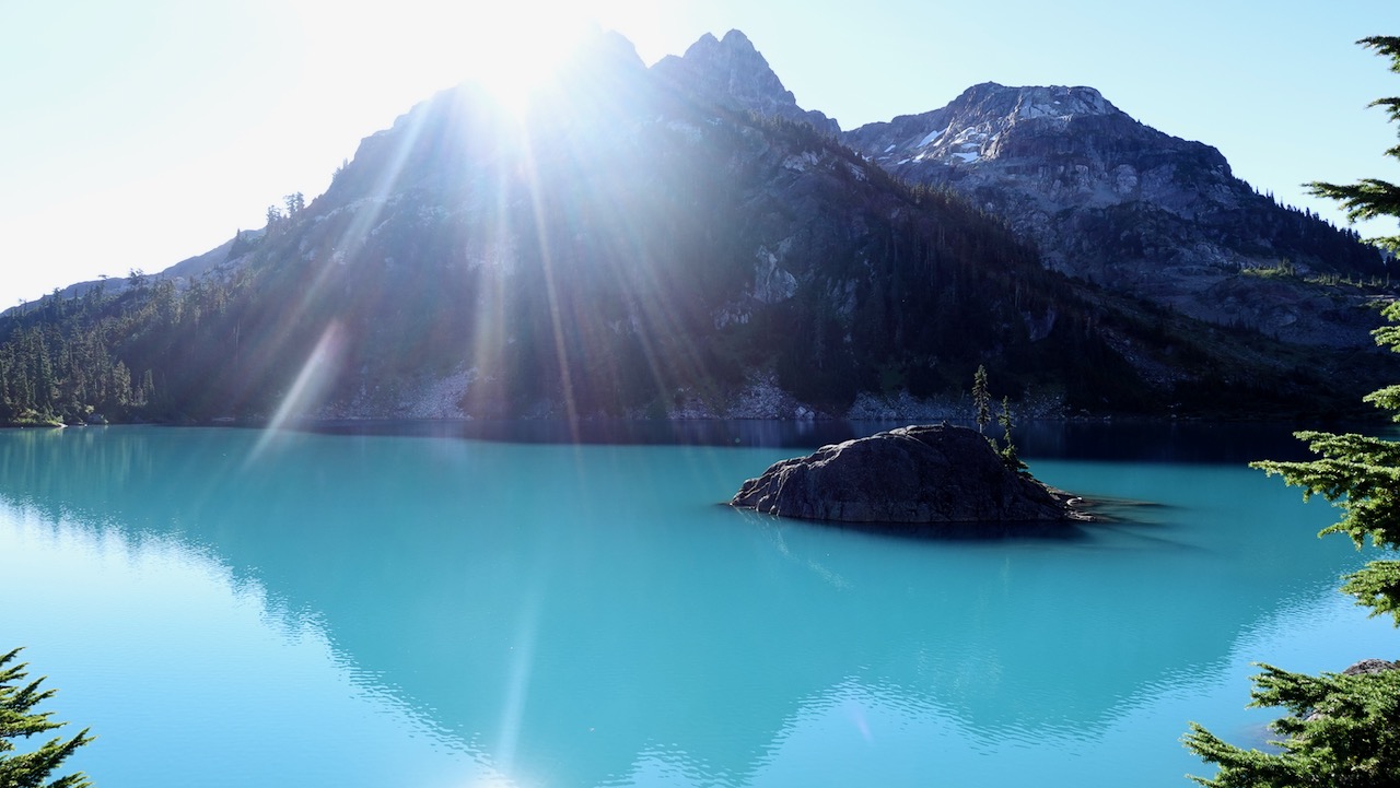
I’d seen lovely Moat Lake the day before from the Albert Edward hike.
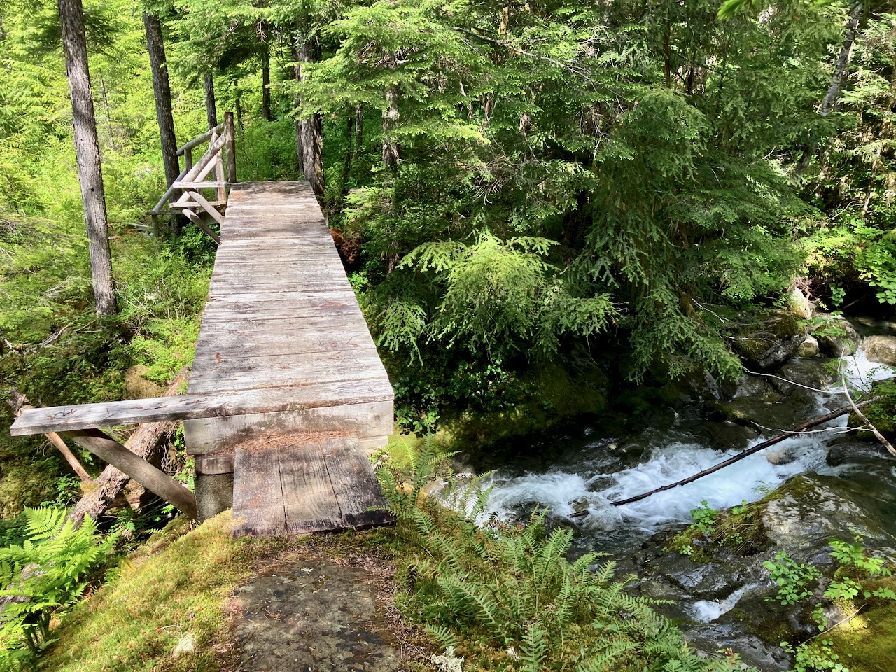
For Castlecrag you circumambulate the far side, crossing the worst bridge I’d seen in Strathcona 2020.
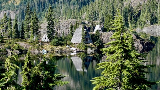
En route a helicopter flew into Moat Lake Retreat, an island you can rent with 2 cabins sleeping a total of 10 people. It’s a legacy from when Clinton Wood first built a lodge here in 1934.
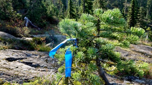
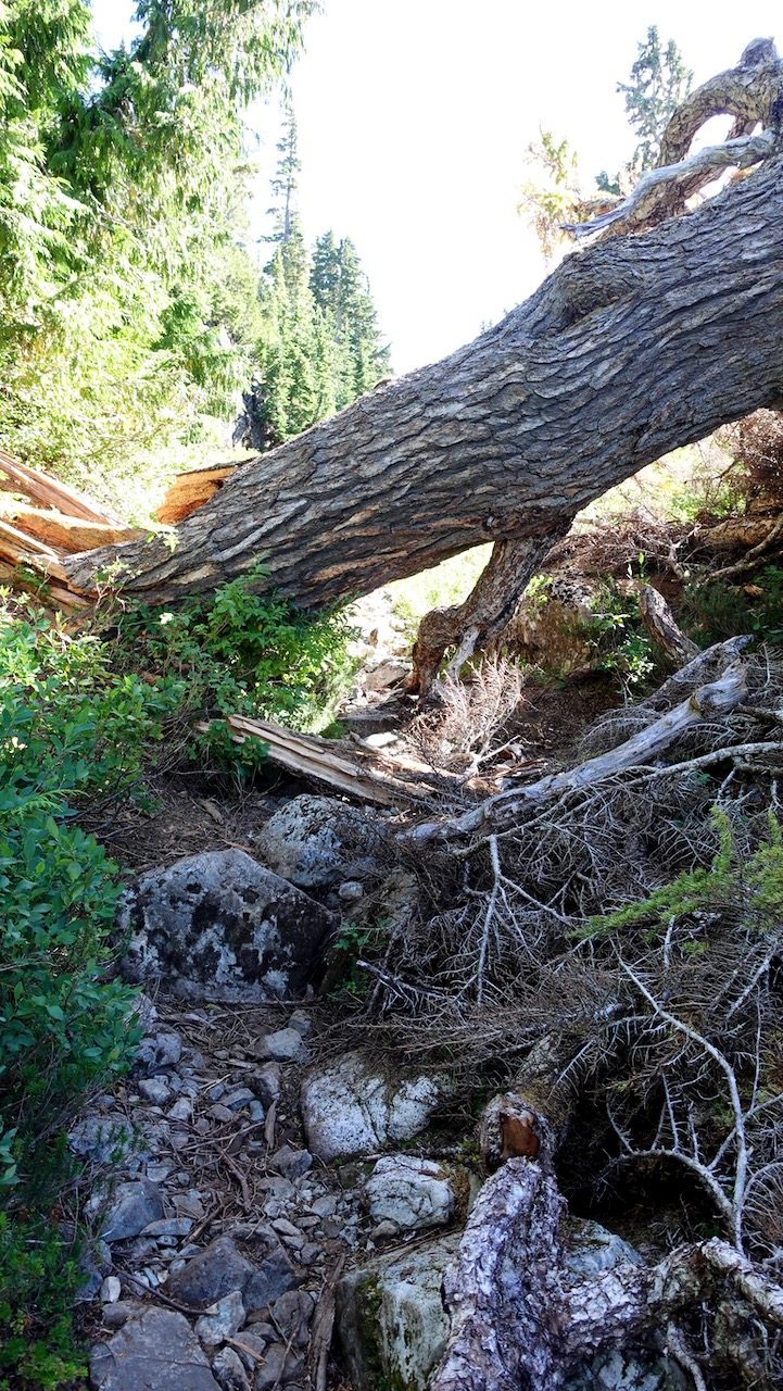
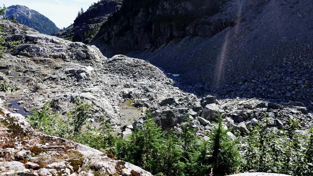
In good weather, finding the route is not all that difficult. Follow the cairns and (possibly) ribbons.
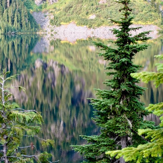
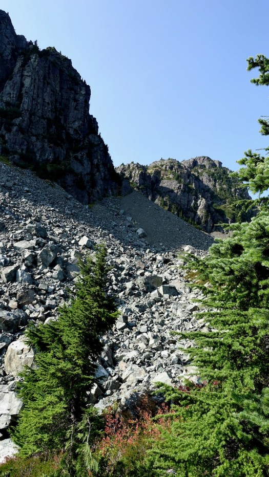
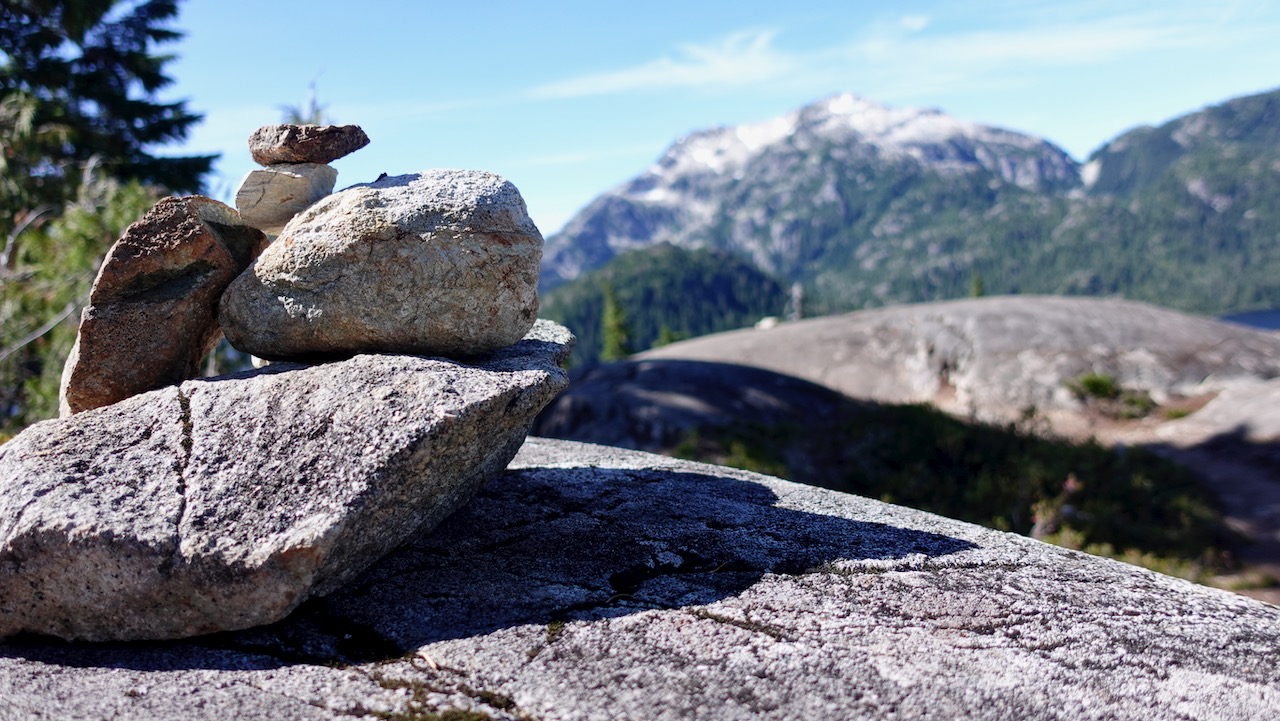
Much of this adventure is above the treeline.
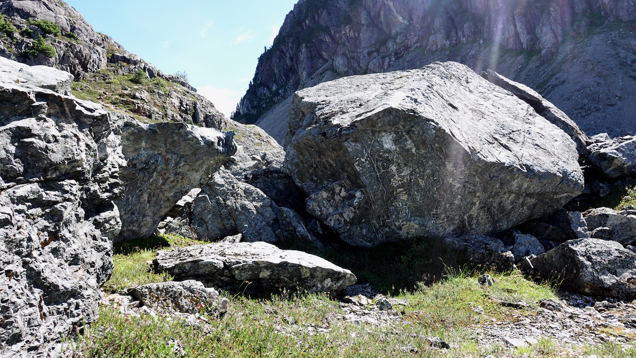
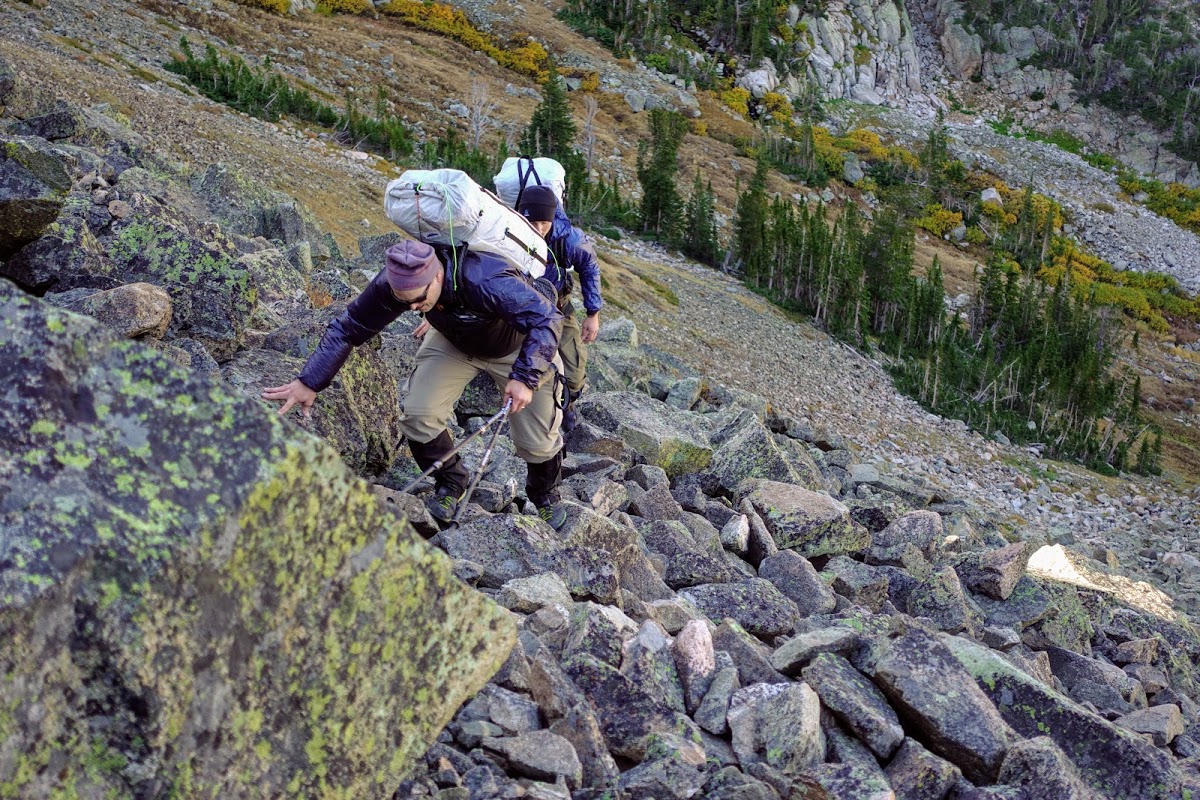
Overall the hiking is more difficult than on nearby Edward Albert as there is a fair bit of boulder hopping over avalanche slopes.
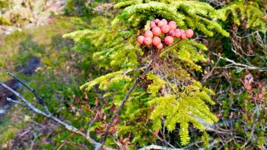
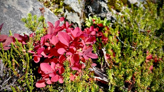
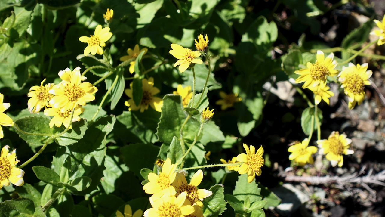
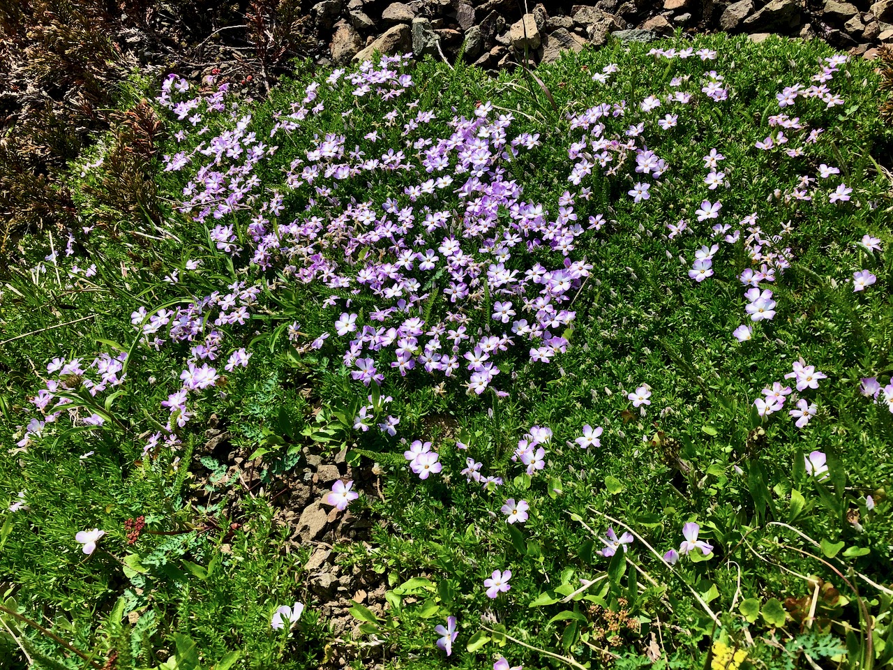
Two highlights end of September: no mosquitoes and autumn colours.
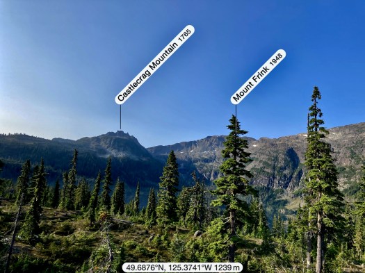
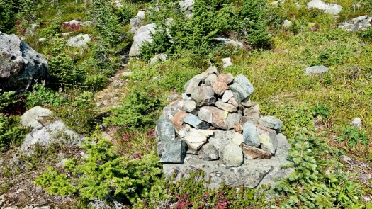
The turnoff UP to Castlecrag is not signed. Watch for the big cairn on the right.
Castlecrag 1740m (5709ft) is a satellite peak to Mt Albert Edward 2093m and many serious hikers / trail runners connect the two via Mt Frink. I’d originally planned to do that myself — but found it too difficult and risky on my own. Also, days are short end of September. I might have spent some hours in the dark on the way down.
It’s a short climb from the cairn to the summit of Castlecrag.
The Dolomites are a mountain range located in north-eastern Italy. A tourist mecca, the Dolomites are famous for skiing in the winter months, mountain climbing, hiking and climbing in the summer.
AT A GLANCE
a wonderful region mostly in Italy
Italian: Dolomiti; German: Dolomiten
limestone geology results in fascinating shapes and colour
named a UNESCO World Heritage site
highest peak Marmolada 3,343m
convenient airports include Venice, Munich, Milan, Innsbruck, Verona
easy access to trails of all all levels of ability and experience
very good tourist infrastructure
convenient, efficient public transport. Buses & trains run on time.
Only 3km return, this scramble is considered difficult. On the other hand, there are plenty of comfort ropes to assist you. Some of the descents might be tricky in the rain.
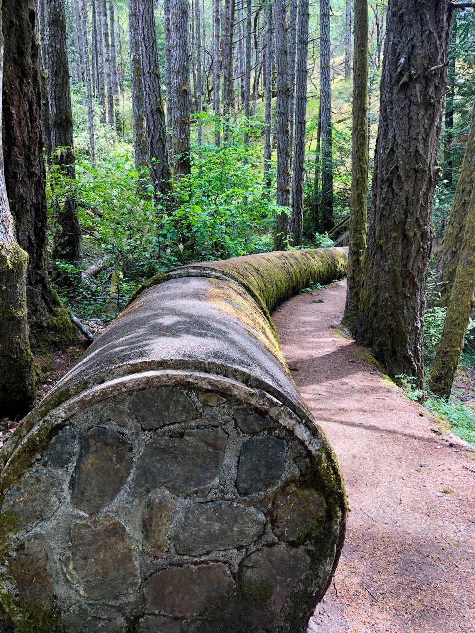
Very pretty is this old pipe now covered with moss. They bricked the ends to keep critters and kids out.
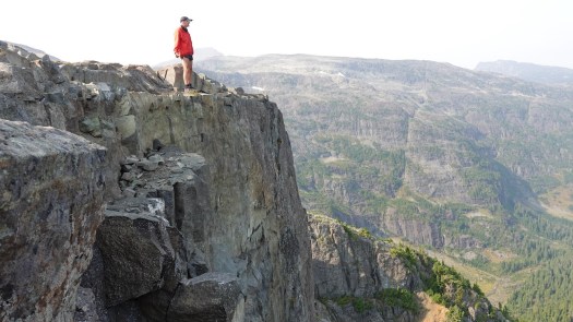
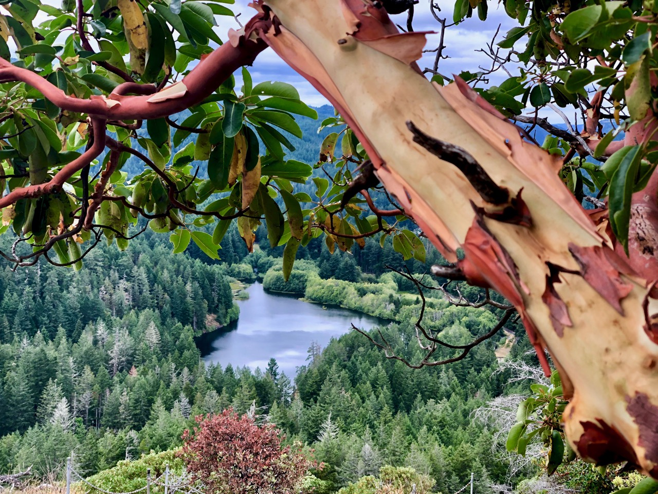
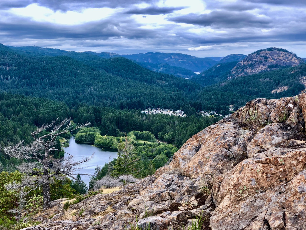
… offering views as far away as downtown Victoria, Juan de Fuca Strait, and towards Sooke …
This hike is very challenging. Calling it Low-Medium is insanity. 🙄
There are many sections where you need to use your hands. Scrambles.
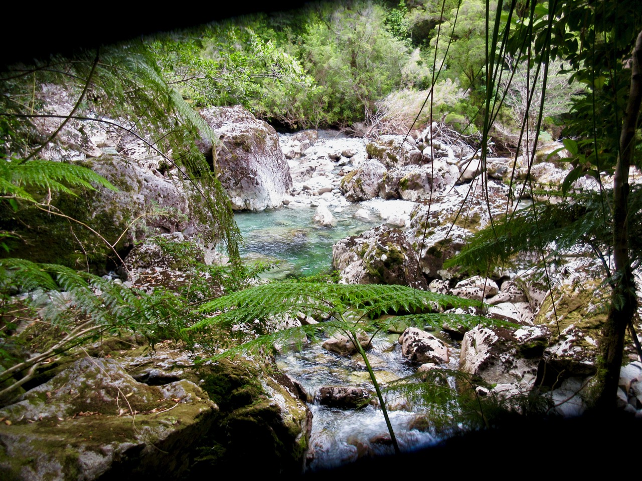
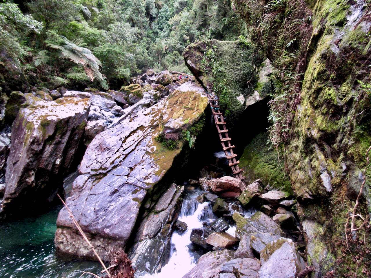
The river crossing could be dangerous / impossible at high water. I slipped in with both feet while boulder hopping.
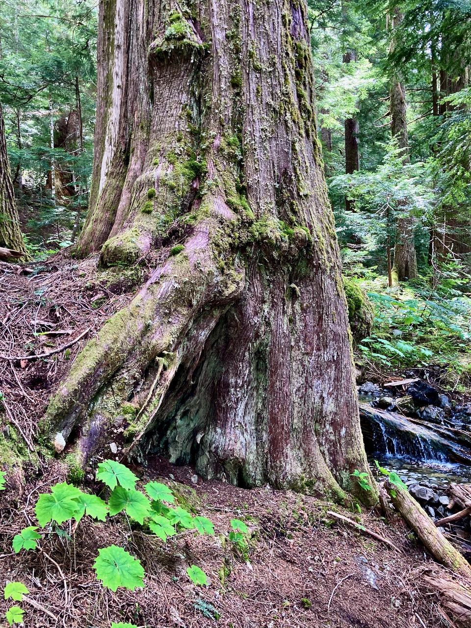
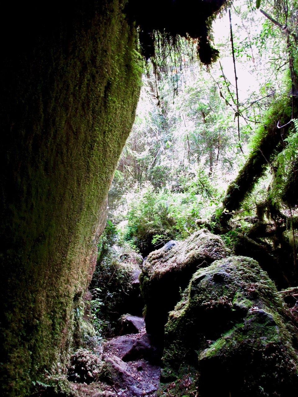
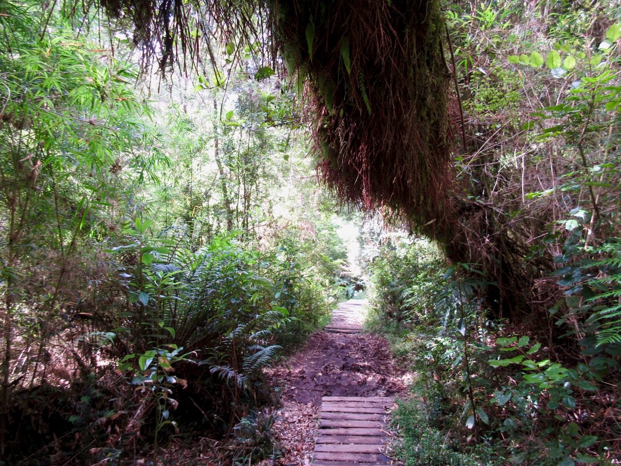
You can quickly see why this temperate rain forest was so inaccessible before superb trail builders got here.
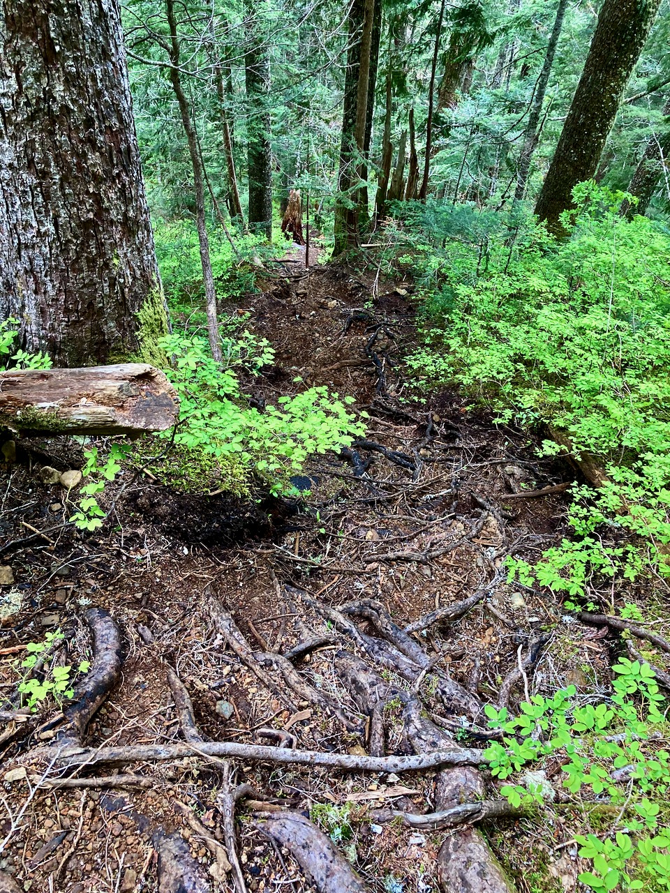
There was a ton of work done to put in this trail. Plenty of boardwalk, most made from local wood onsite.
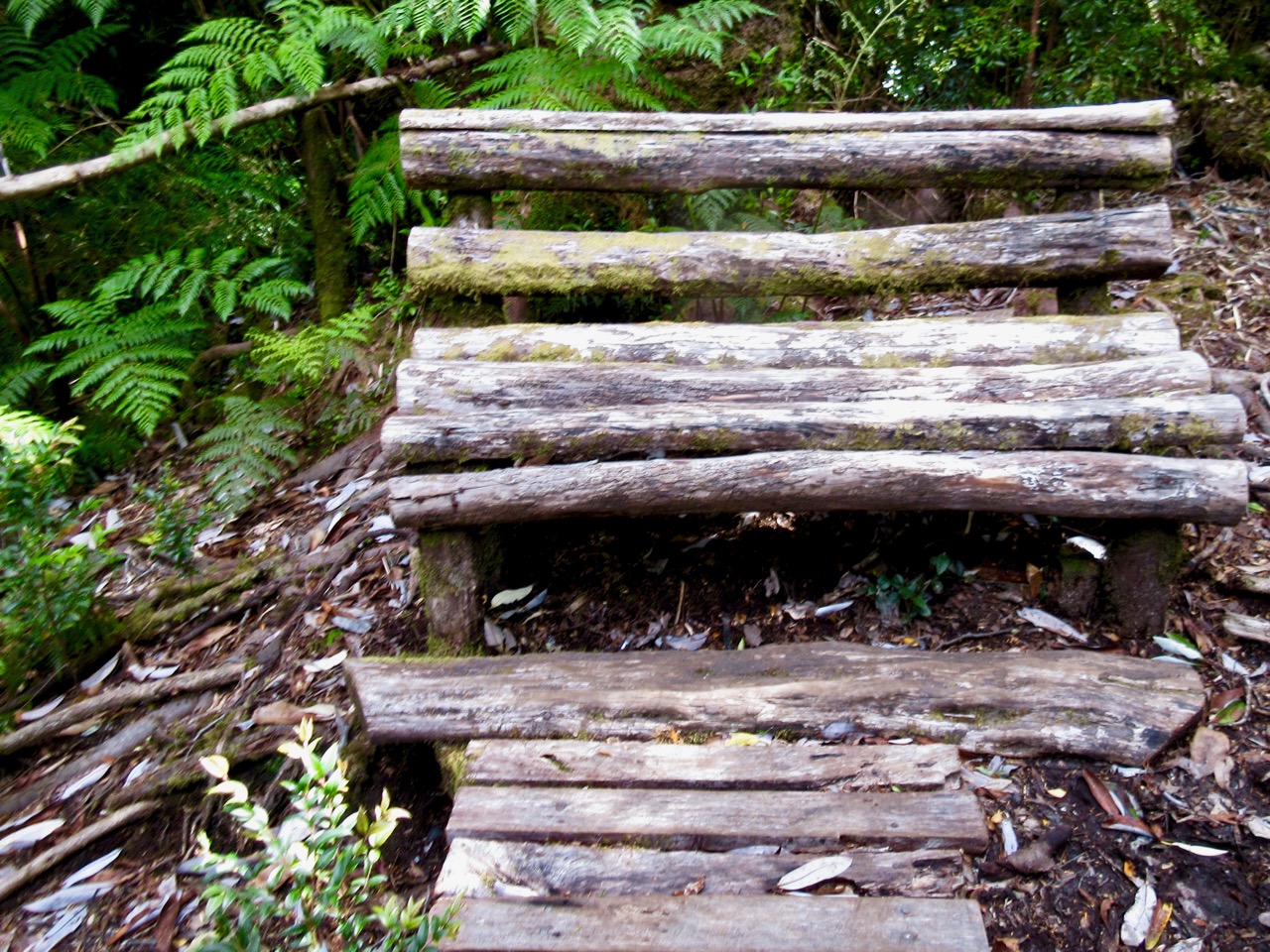
Check this natural park bench.
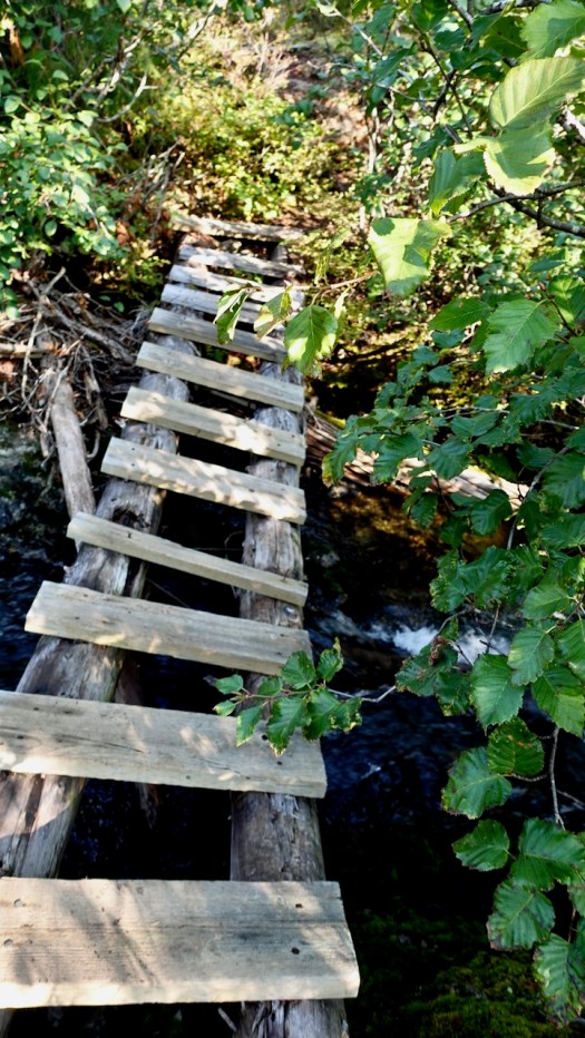
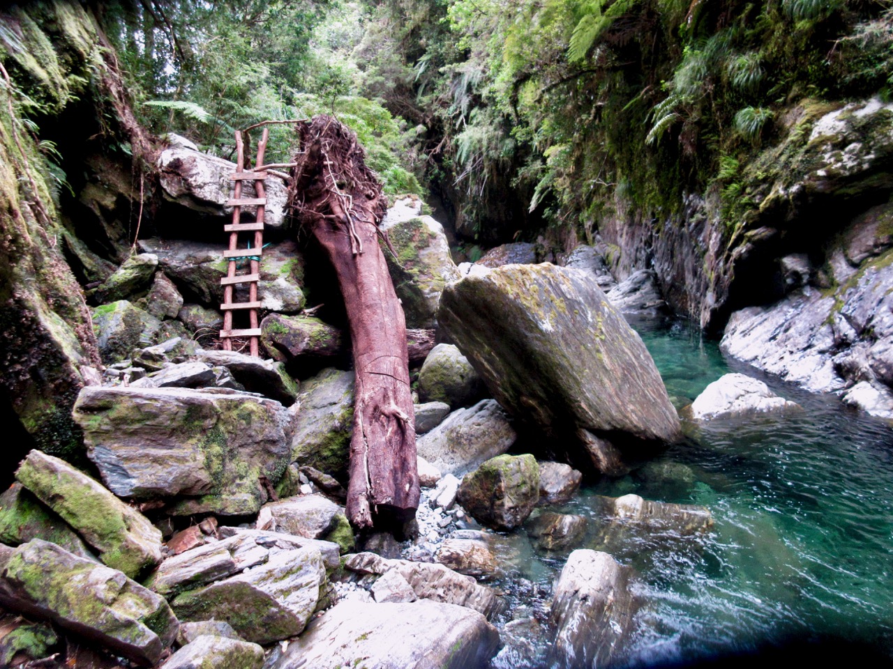
The crux of the hike are these two ladders.
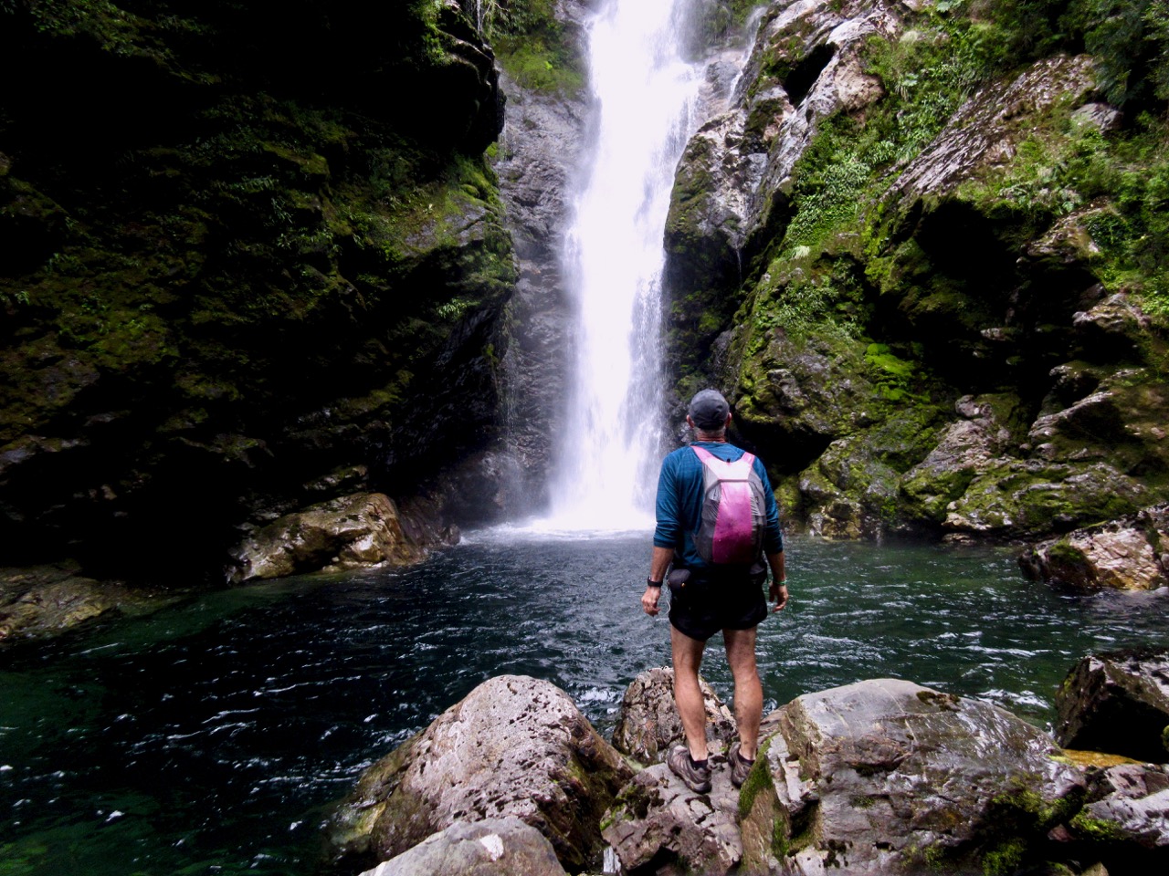
Made it. This is what I expected at Pumalín.
For me it was 3 hours round trip. Finishing at 8pm I had only about 2 hours of daylight left to get set-up at the nearby campground and to cook up a BIG dinner.
Cascada was my first hike in this sector of Parque Pumalín.
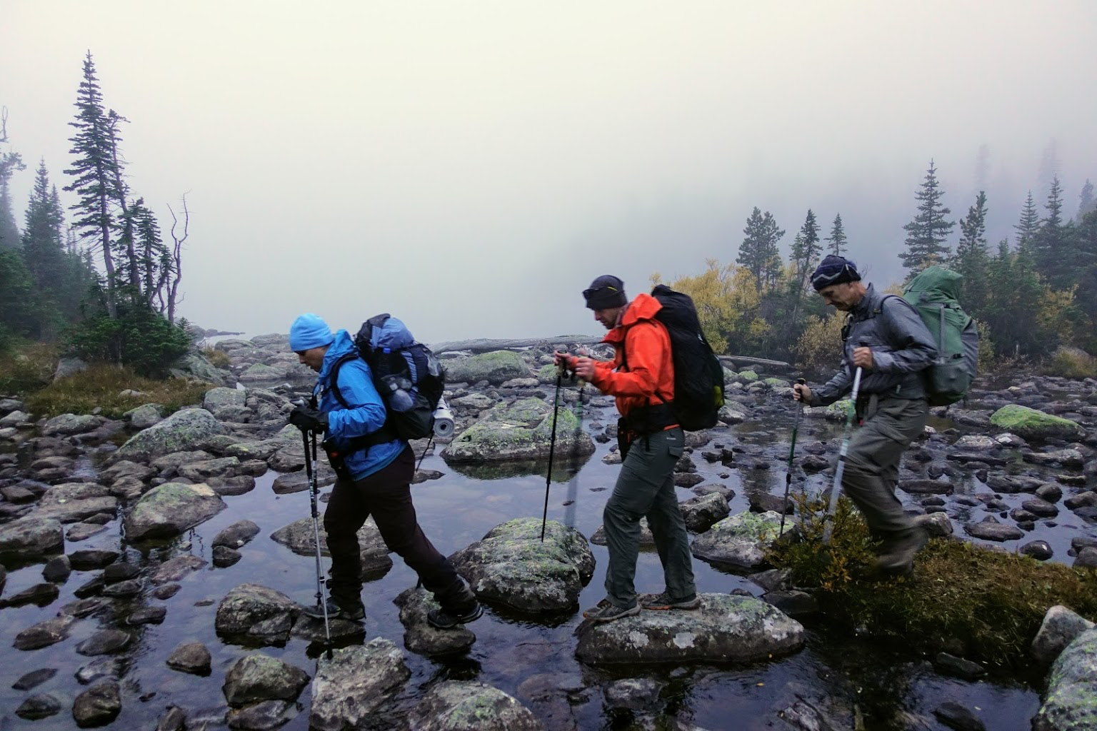
As part of the Backpacking Light Wilderness Adventures program, Trek Director Kevin Fletcher and I led a guided trip across the Absaroka-Beartooth Wilderness in Montana in September 2018.
This program, dubbed the “Whitetail Trek”, was a new program for us where we gave the group a start and end point and let them plan their own trek across the range. …
Once again the guided hiking group nearby was up and gone before I’d even woken up.
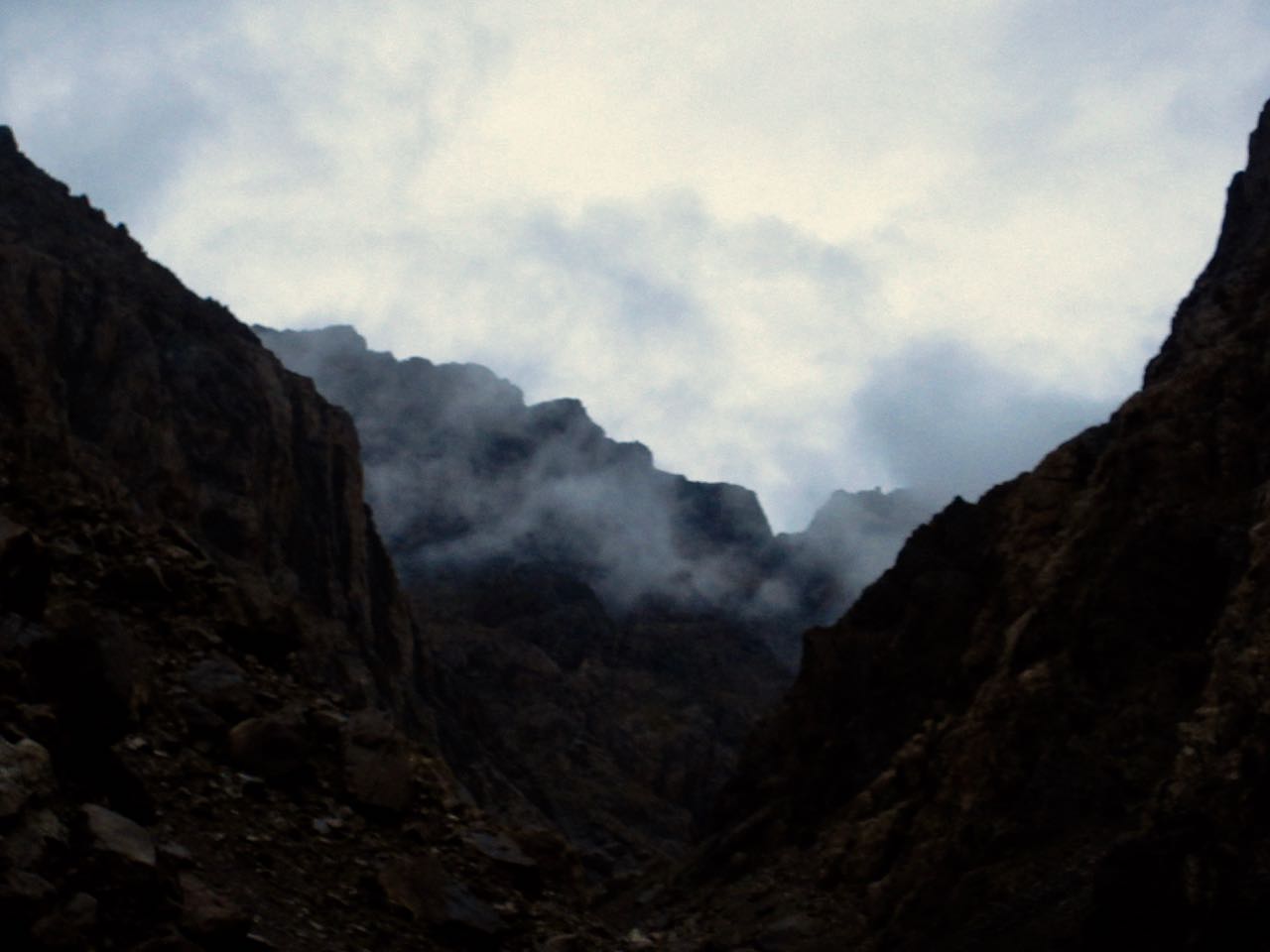
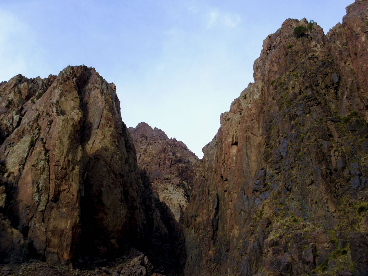
I started up into a very cool gorge section. It was dark and hazy.
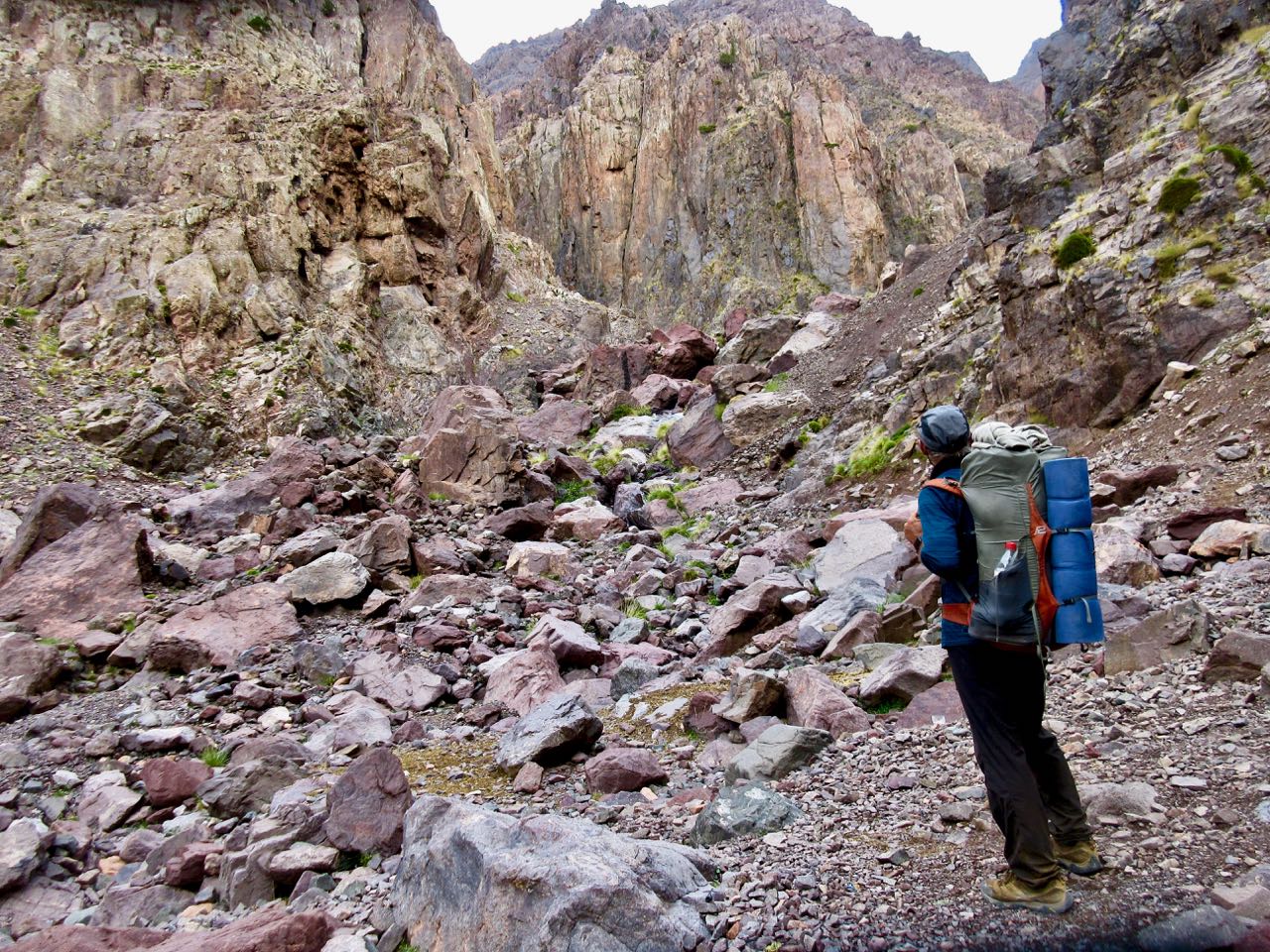
This is Azib Imi n’Ouassif (2841m), a crossroads of several gorges where some people camp.
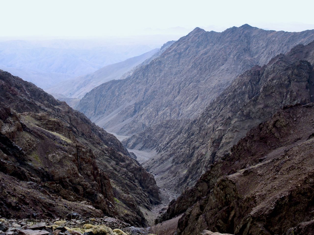
From here it’s a steep climb to the pass at Tizi n’Ouanoums.
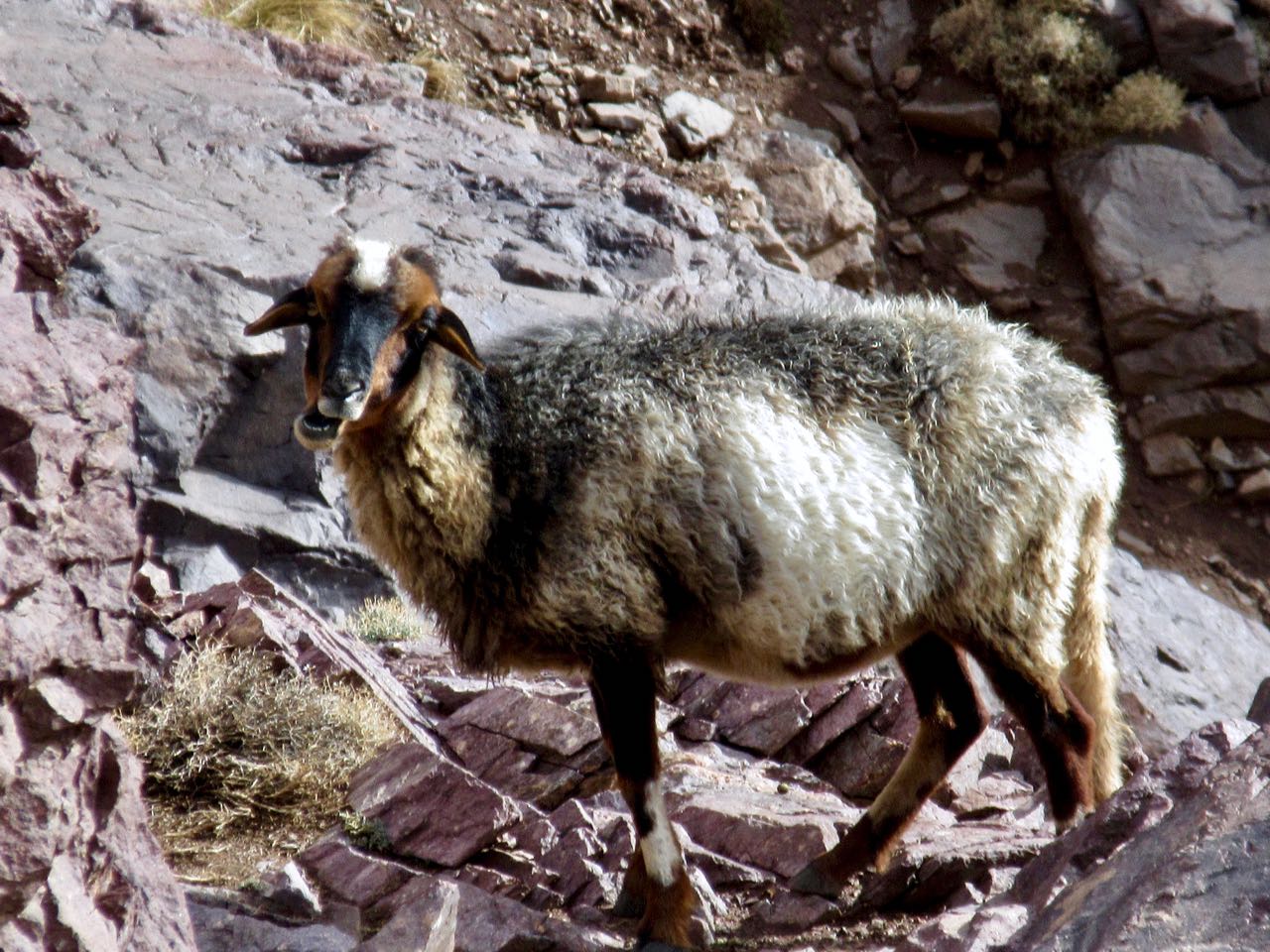
Escapee goats live on these inhospitable cliffs. There’s not much to eat.
It was a bit of a relief to reach the second high pass of the circuit. From here it was all downhill … at least while carrying full pack.
Descending the pass was supposed to be a bit treacherous. As I crossed it wasn’t all that bad.
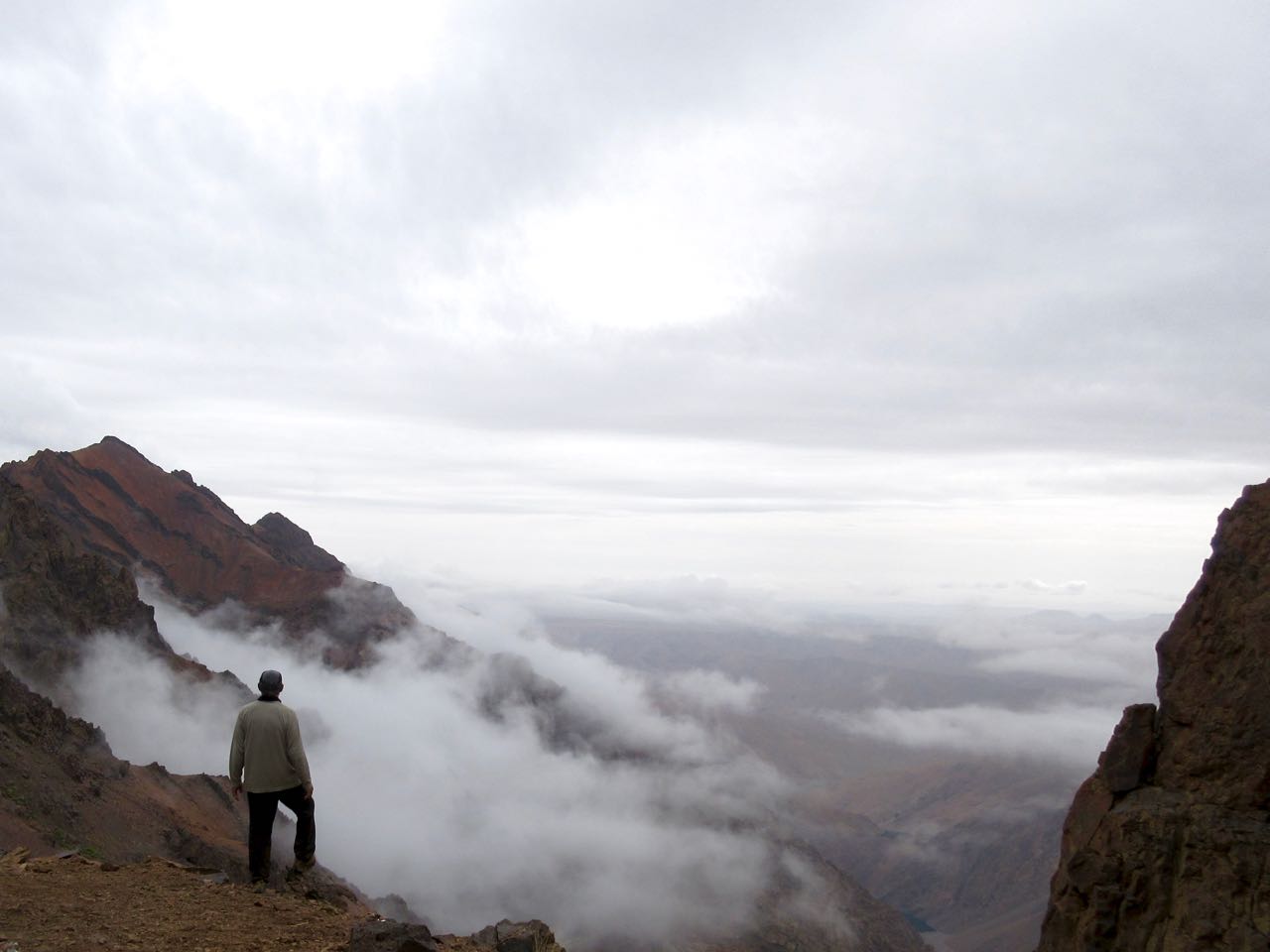
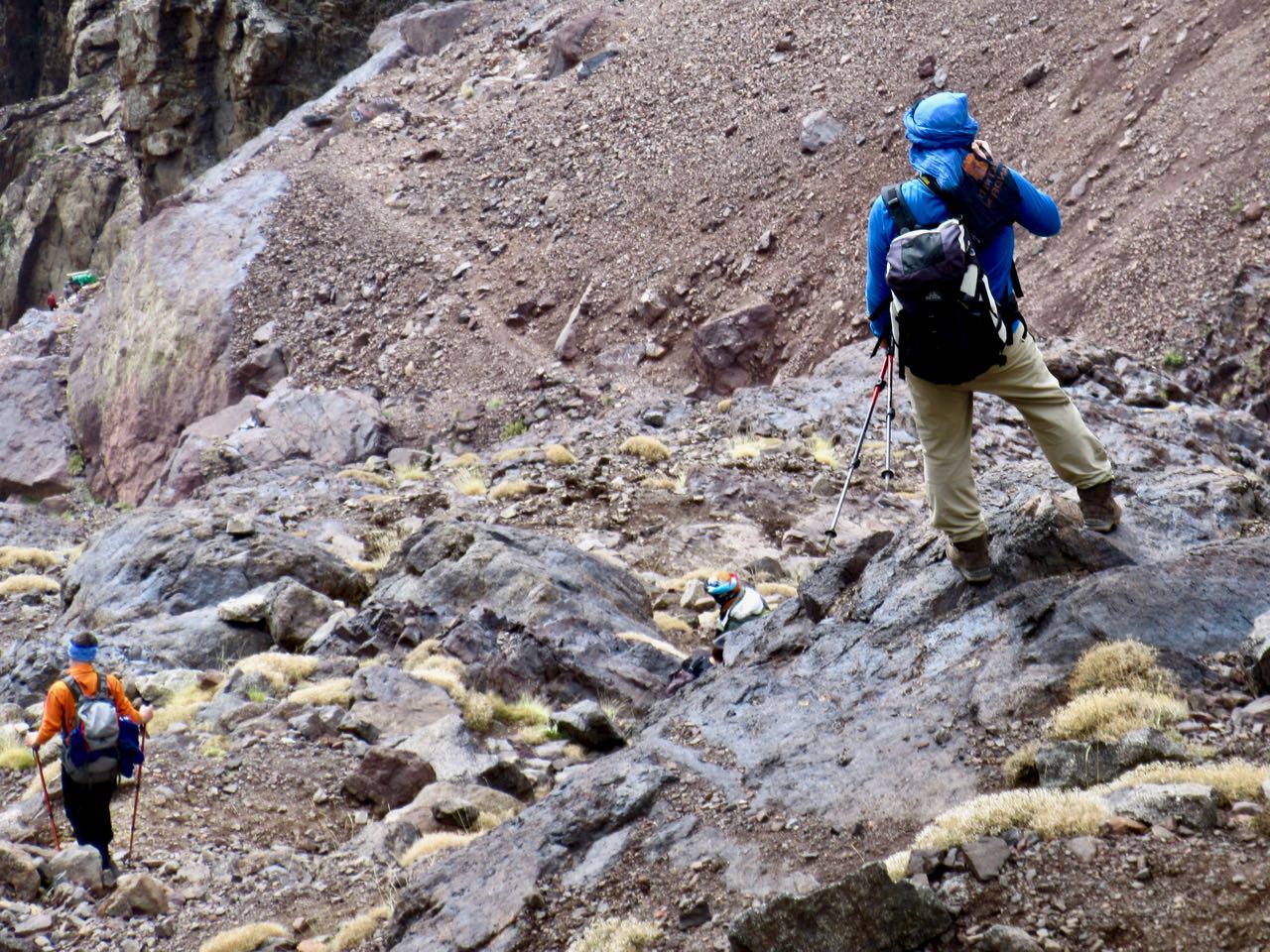
I could see some of the Iceland group having lunch at the bottom. By the time I got there they had begun climbing a secondary trail up the other side to the 2nd / 3rd highest peaks in north Africa. Their guide stayed back having hurt his ankle. In fact he sent the group cook as guide in his stead.
I had some lunch too. Then, with plenty of time, followed. Weather looked good.
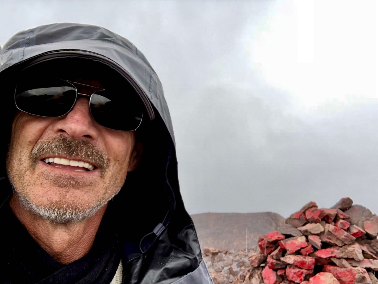
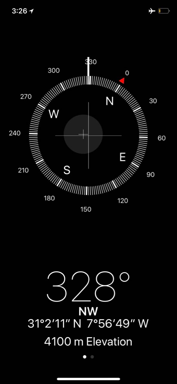
The scramble to one Ouanoukrim summit — Ras Ouanoukrim (4083m) — in a hail storm turned out to be the highlight of the entire circuit. We had a blast.
Once safely down, the others headed off briskly (as they always did) to rejoin their group. One of the men, Dorfi, had once led a 3 week horse trek across Iceland. This weather was nothing to him. He wore a wool sweater under a waterproof poncho on that trip. Never got wet.
In no rush I walked slowly downhill to Toubkal Refuge (3207m).
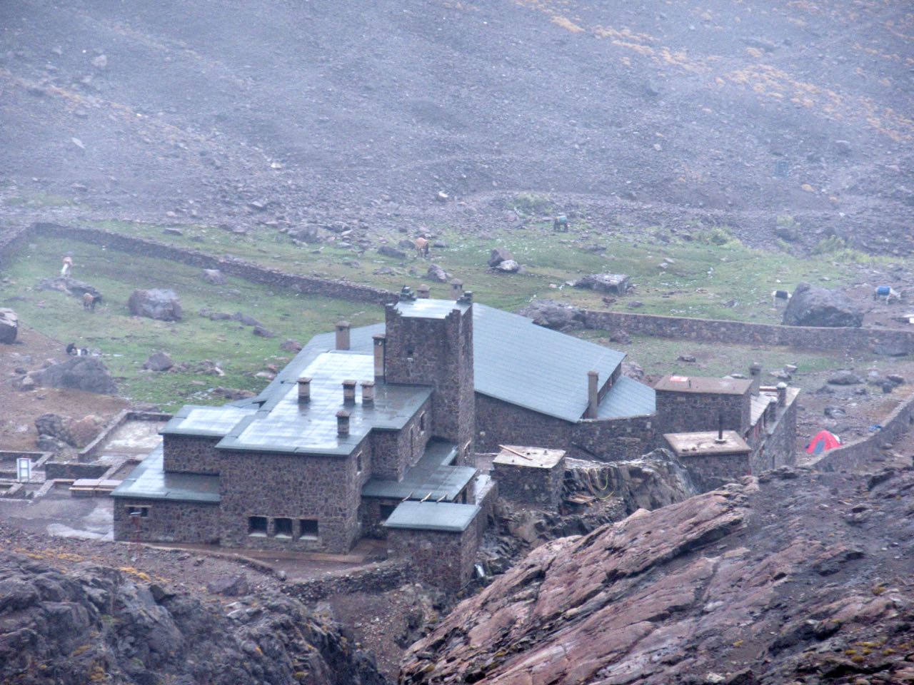
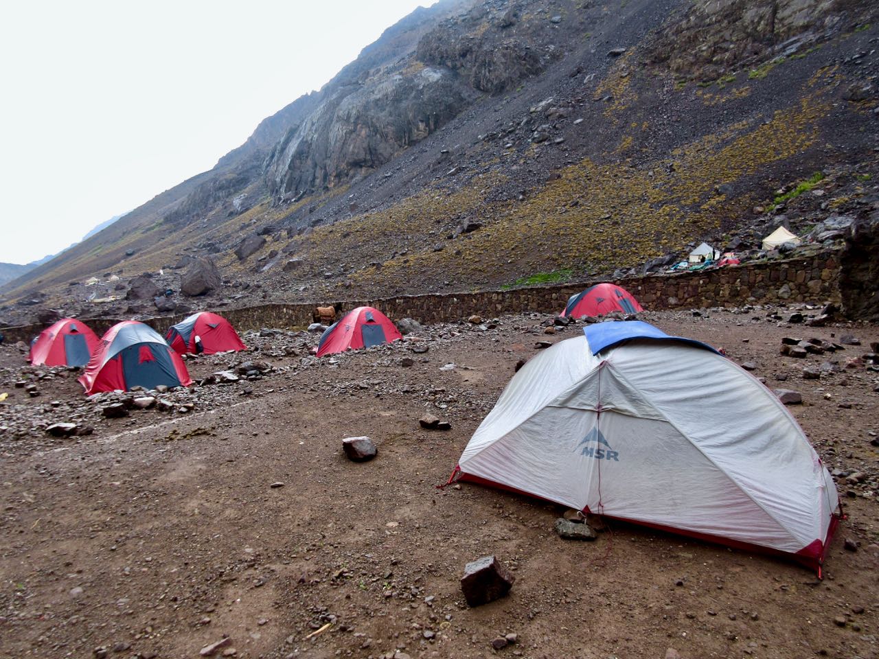
I’d plan to wild camp again … until I saw the massive complex. It looked intriguing.
As it was raining too I decided to camp at Refuge Mouflon and sign up for the 7pm dinner. It was pretty good.
I charged my batteries in Mouflon after dinner and watched an episode of Better Call Saul on my phone as I waited. Then headed out into the rain to my tent.