Trip report by BestHike editor Rick McCharles
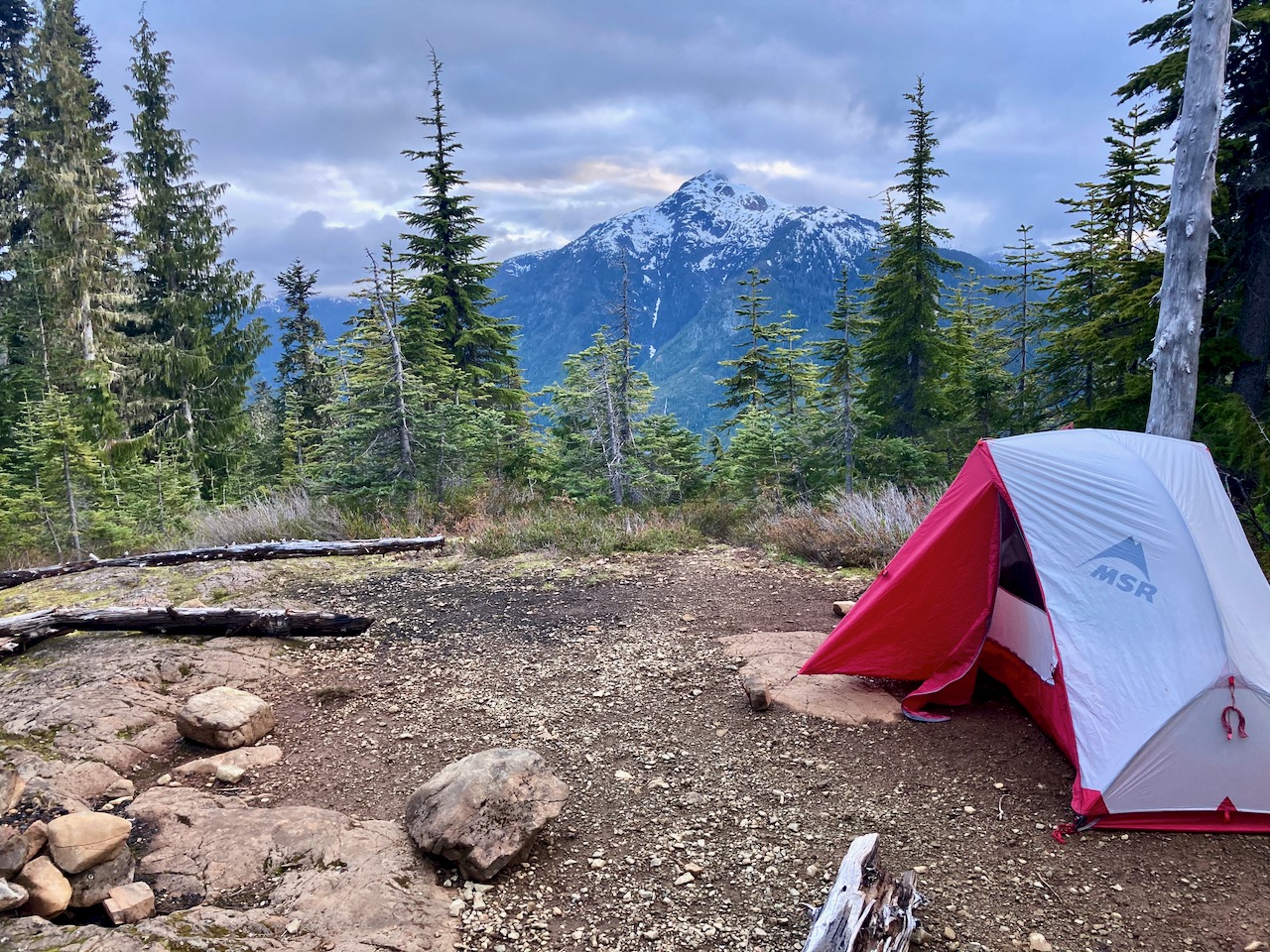
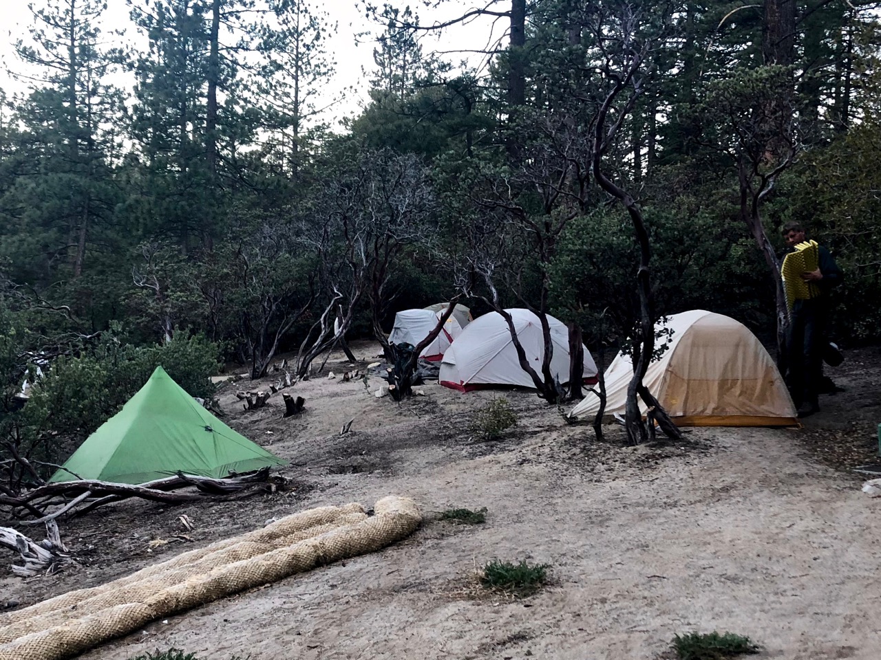
Magog campground in Mount Assiniboine Provincial Park, B.C. has 40 sites, all good.
Supposedly 100% booked, quite a few were empty. We assumed people had forgotten to cancel.

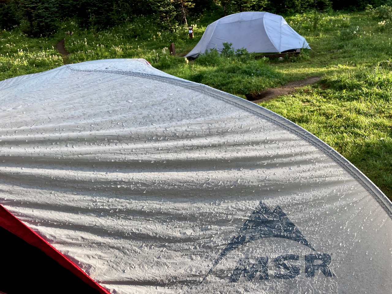
Though it had rained much of the night, morning was gorgeous.
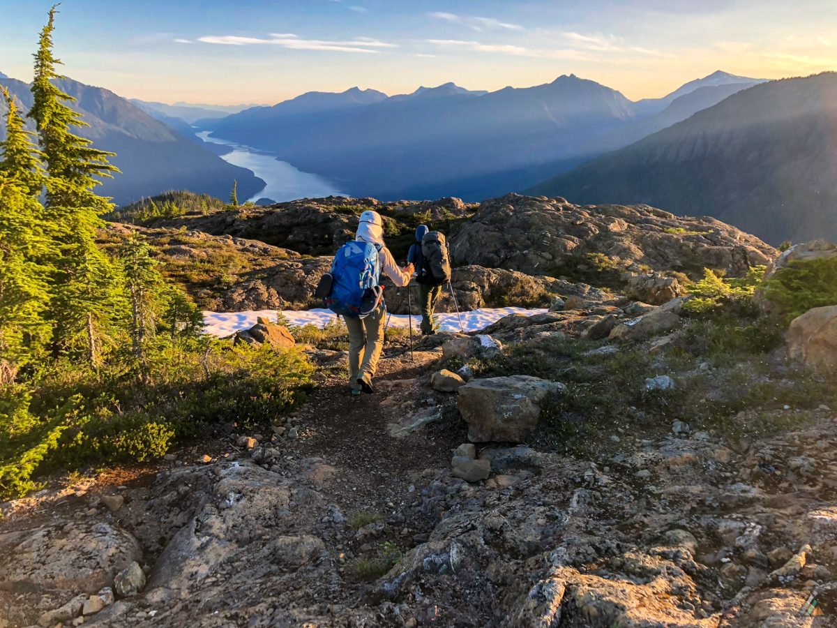
We set off for Nub Peak as it’s typically the most popular day hike out of Magog. One you want to do in good weather.


What’s this? An artist working on his NUDE HIKING CALENDAR photos.

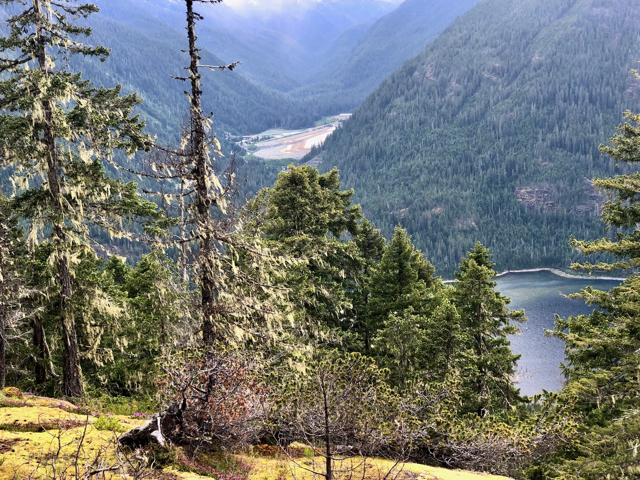
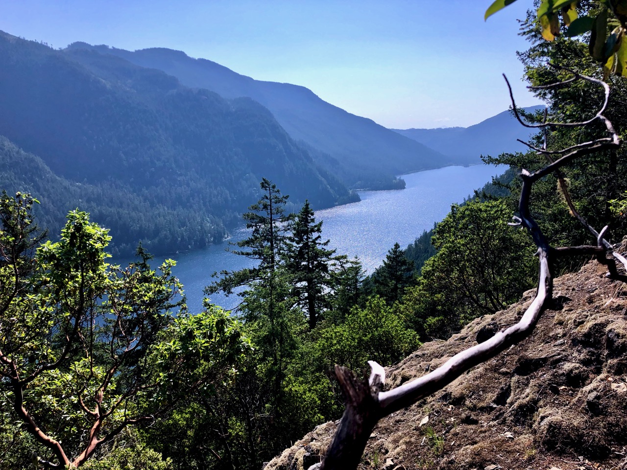
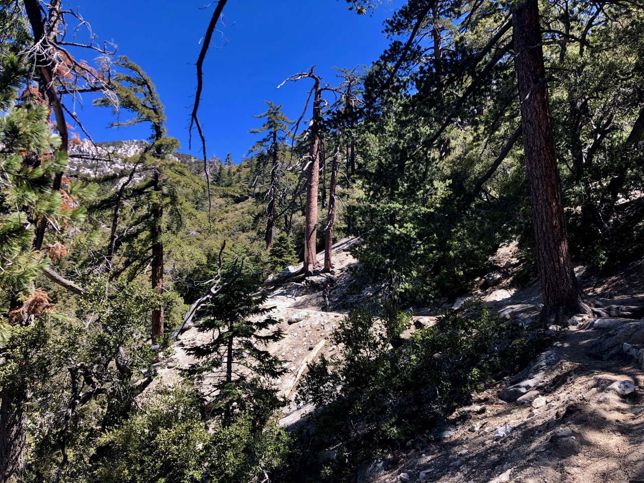
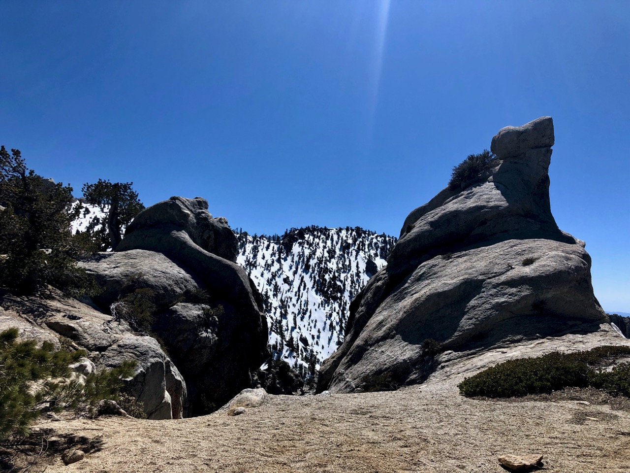
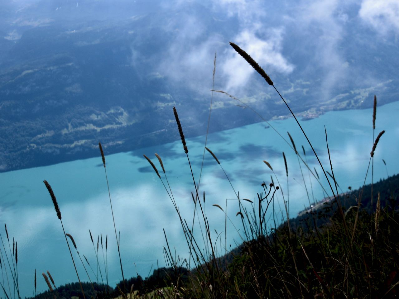
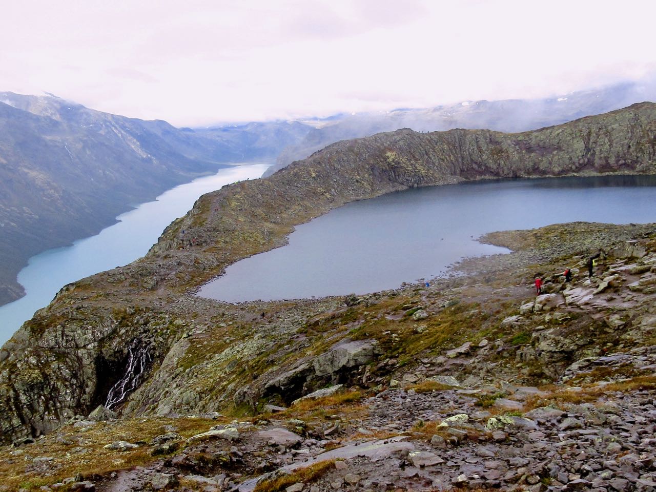
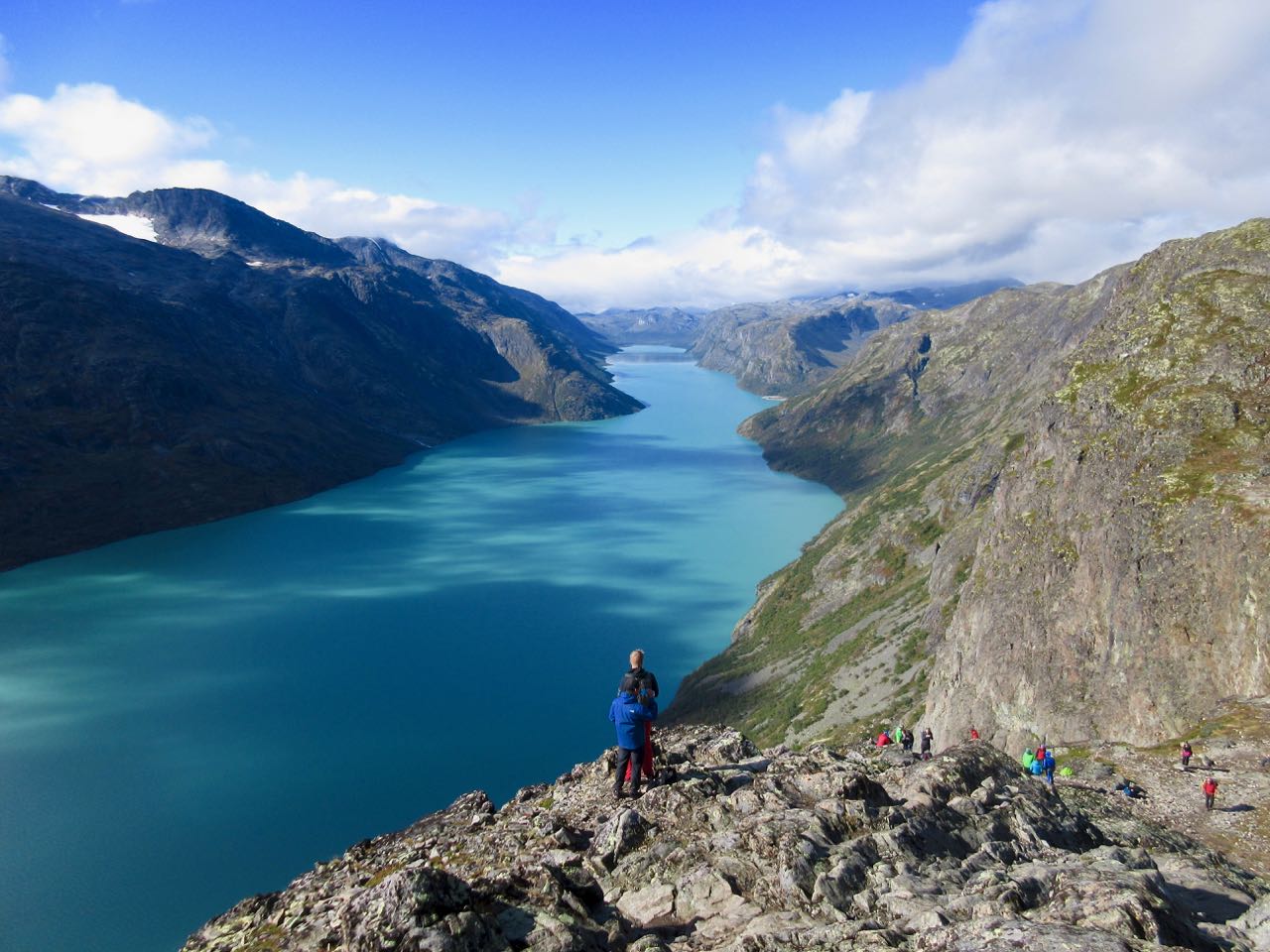
We passed Sunburst, Cerulean, and Elizabeth Lakes.
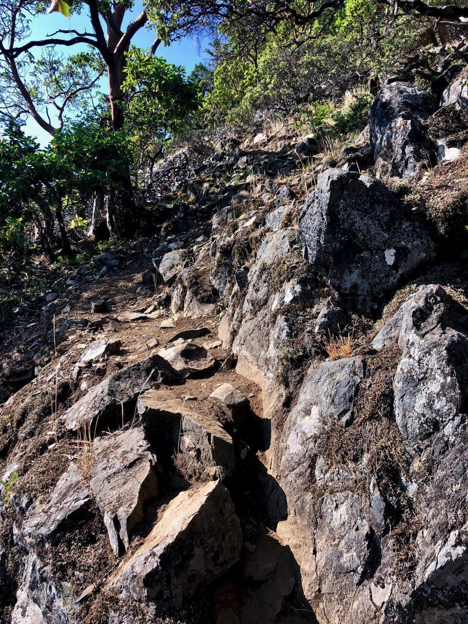
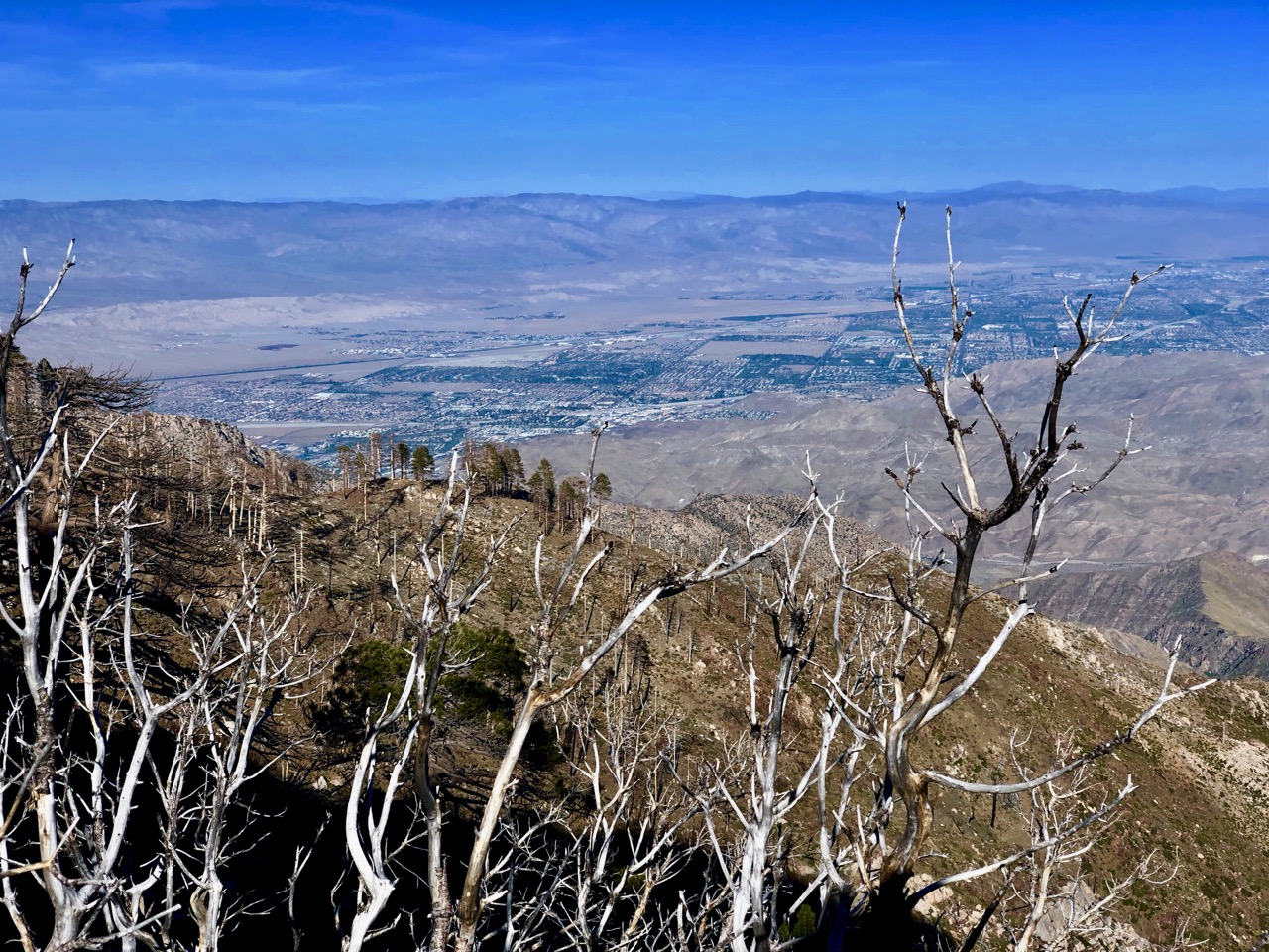
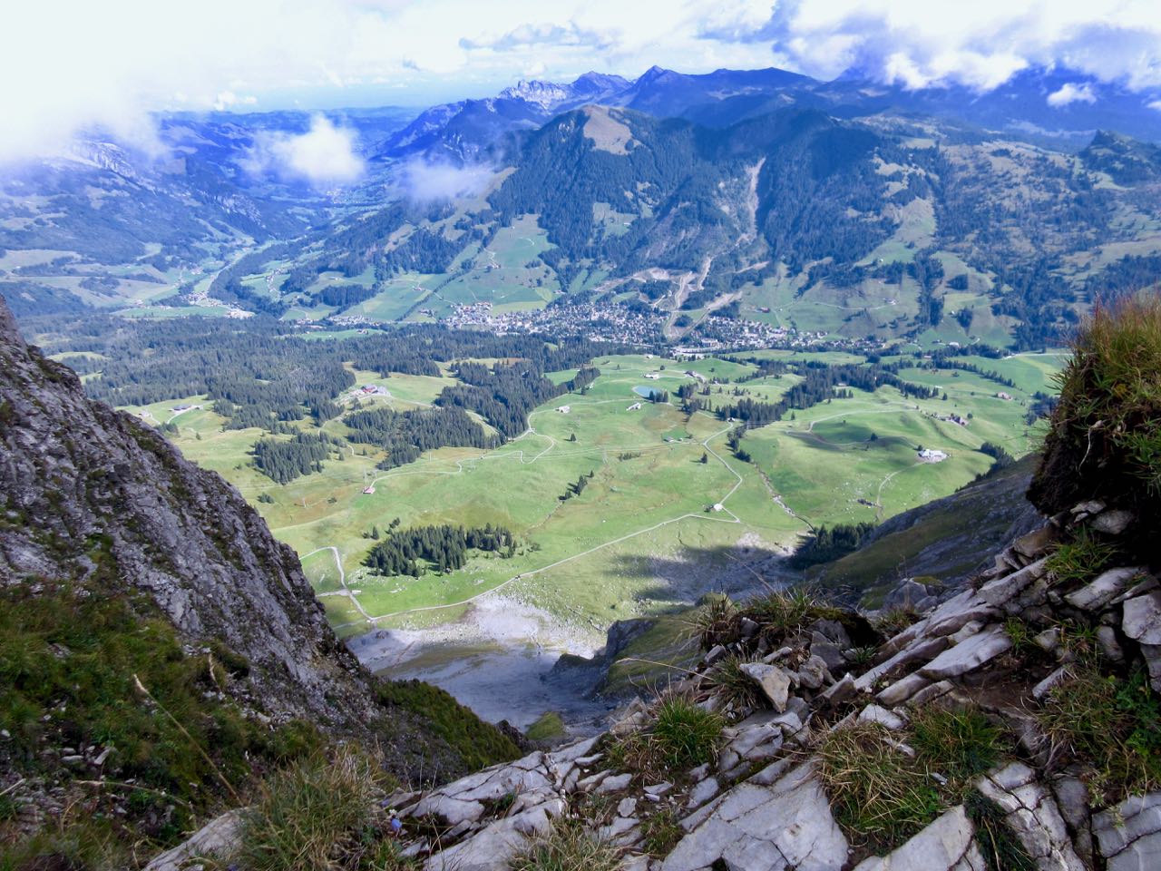
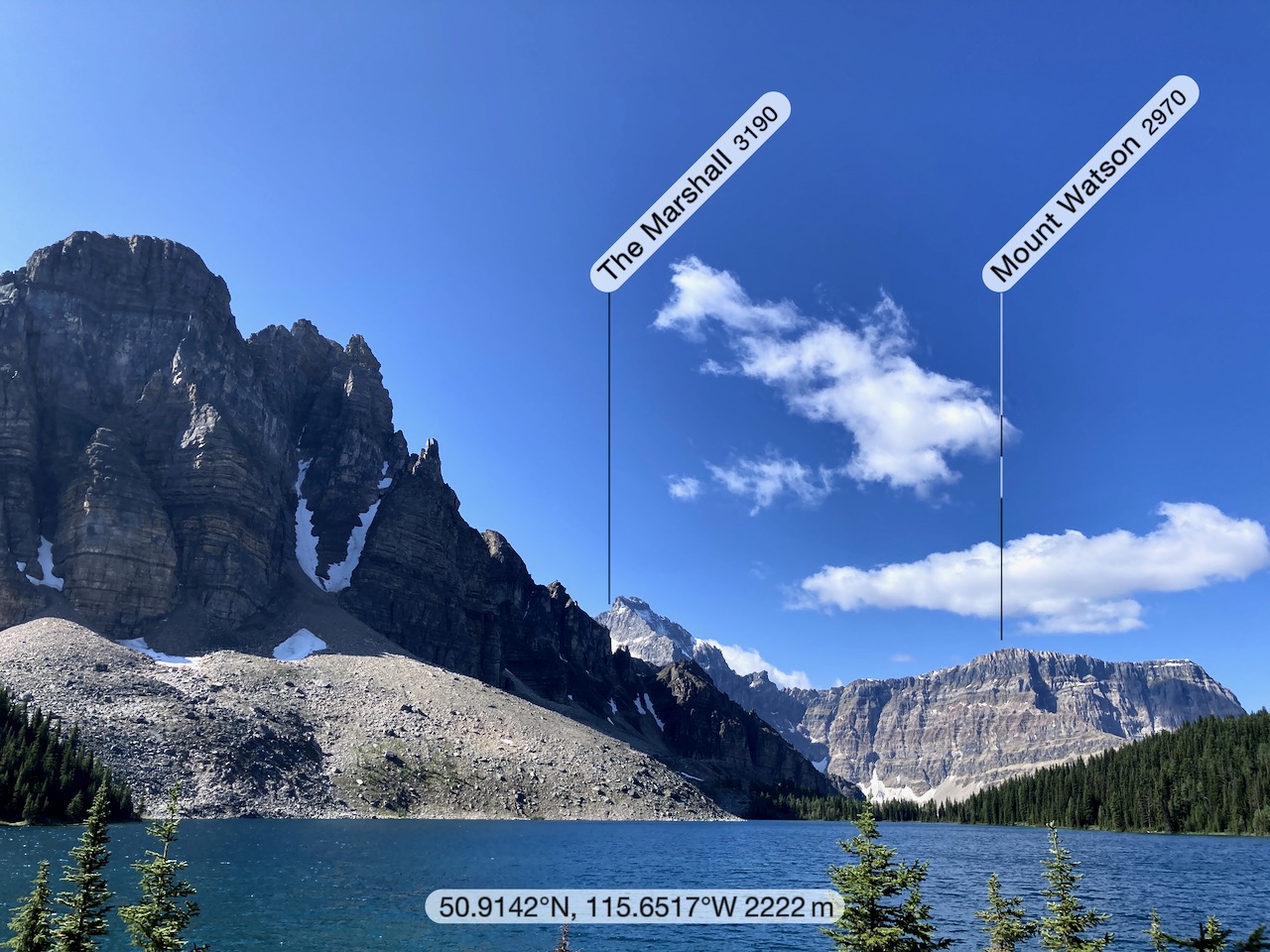
Though I could name mountains and tell you our GPS coordinates, somehow we got lost.
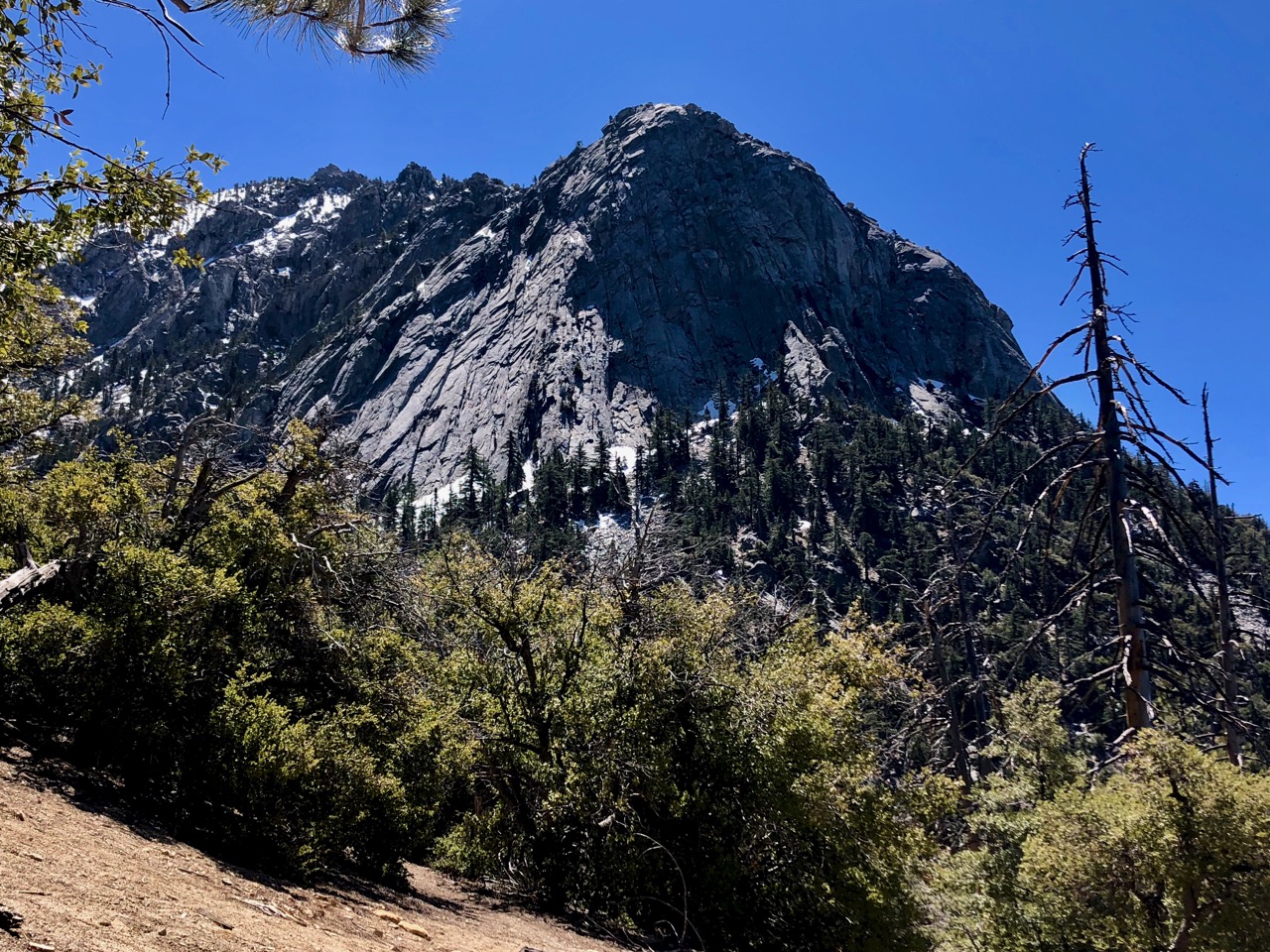
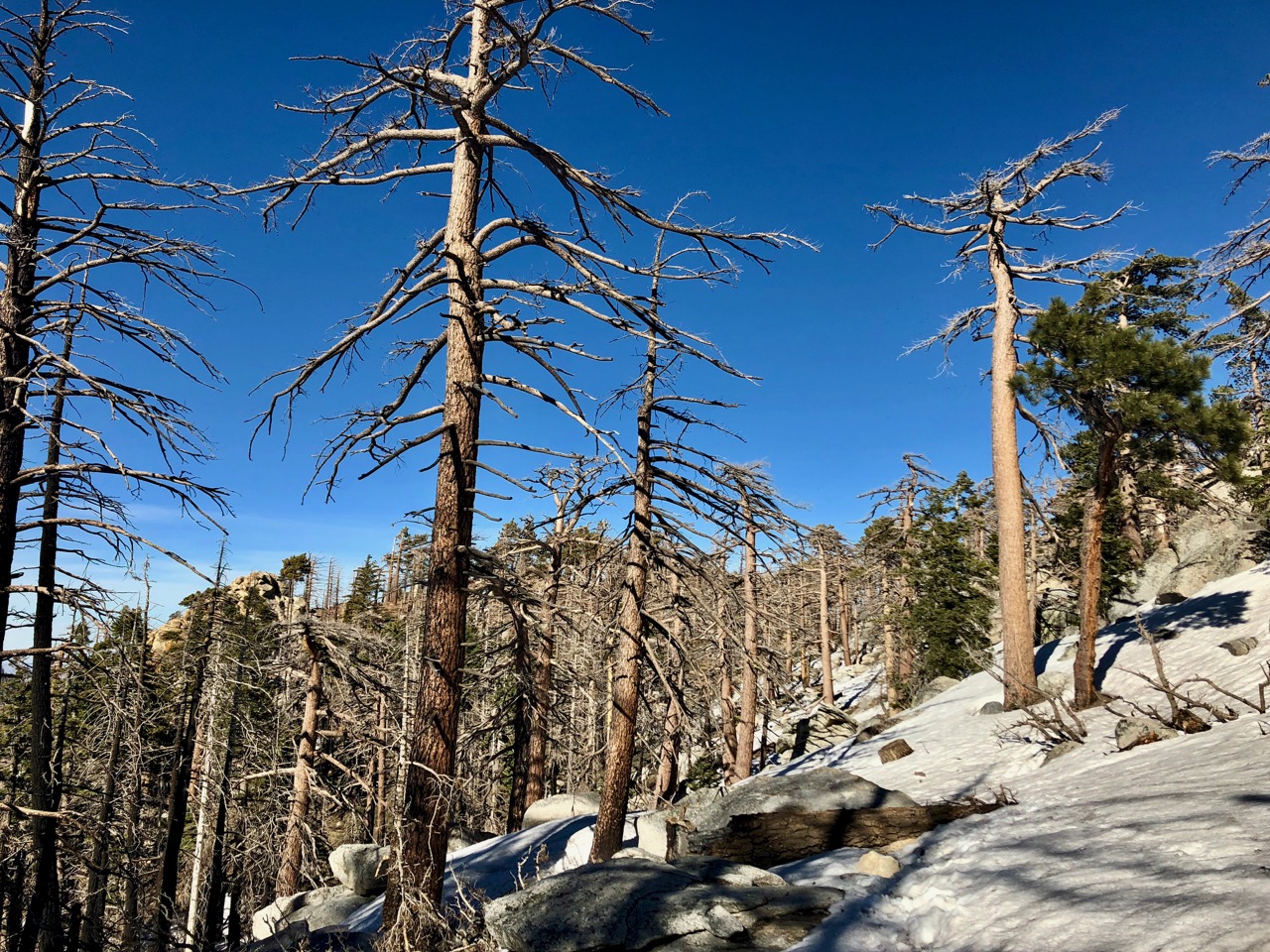
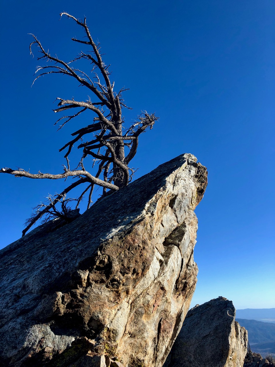
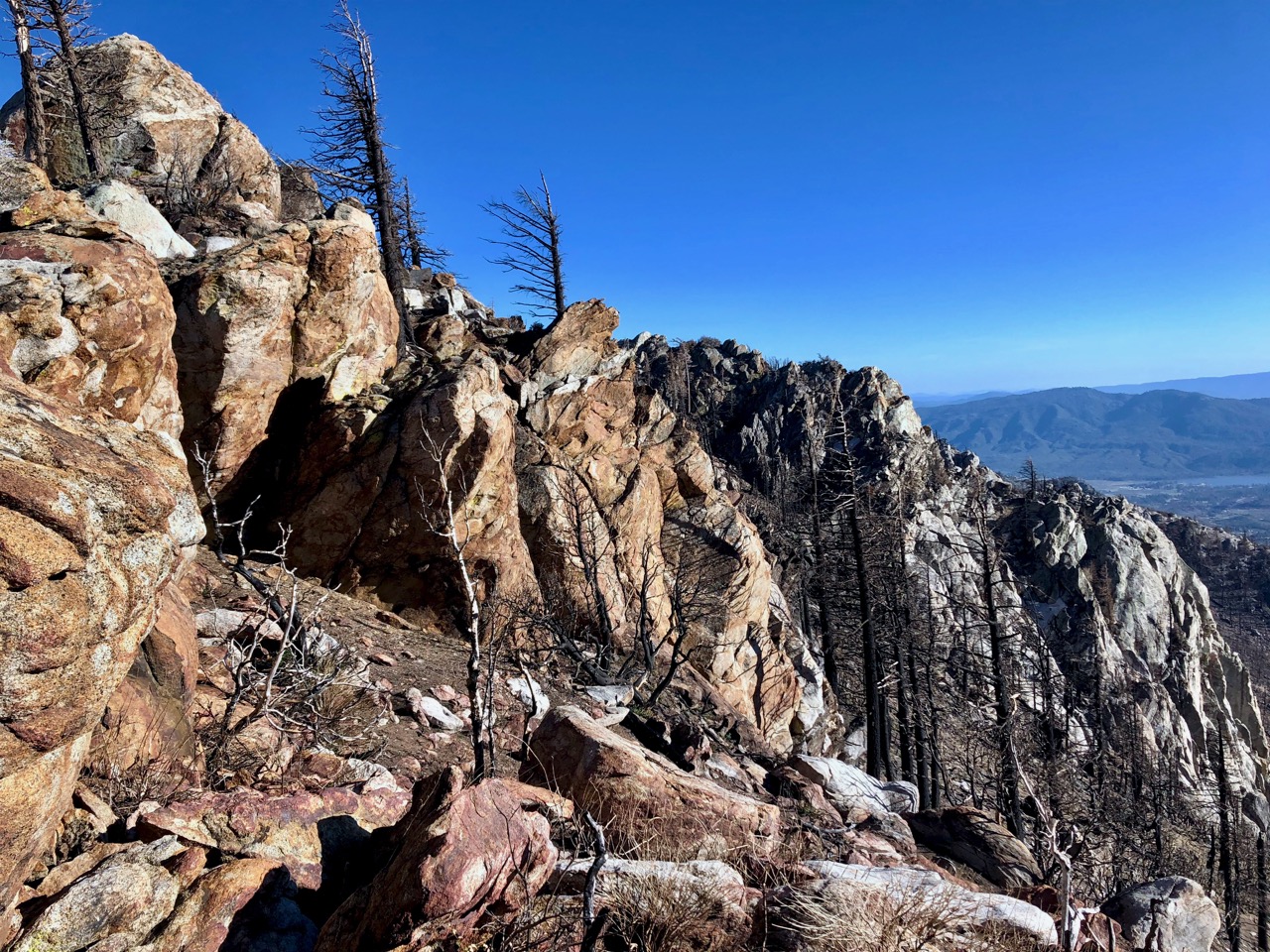
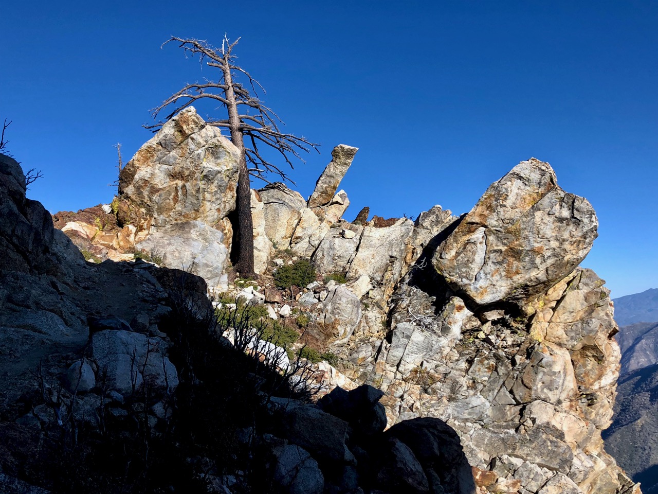
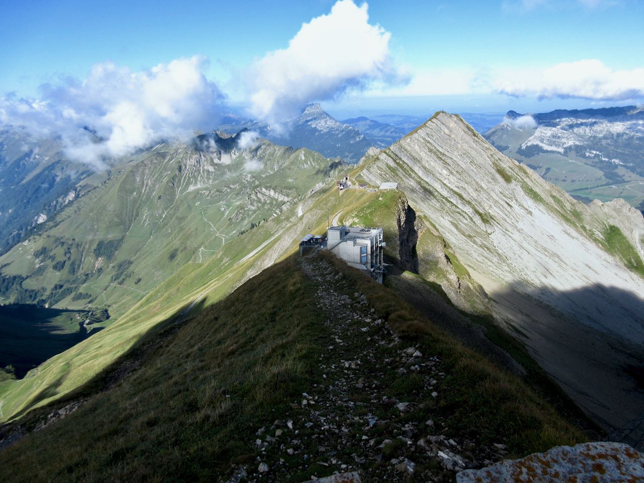
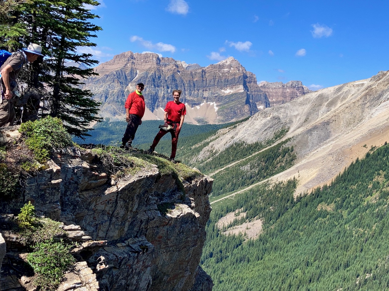
The trail sign said Chuck’s Ridge, so we decided to check it out.

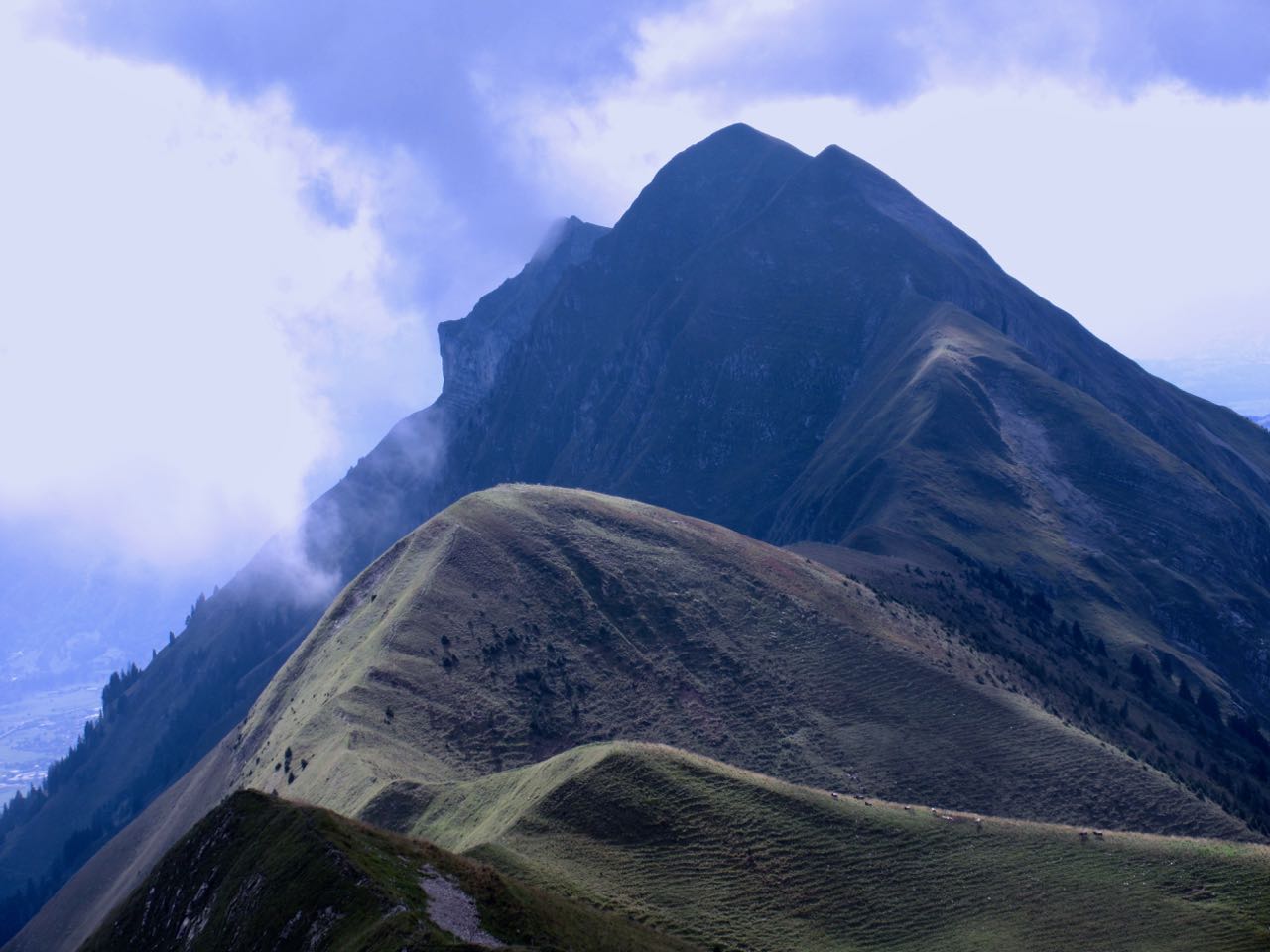
I couldn’t recall having climbed up here on past trips. Chuck’s Ridge is excellent.
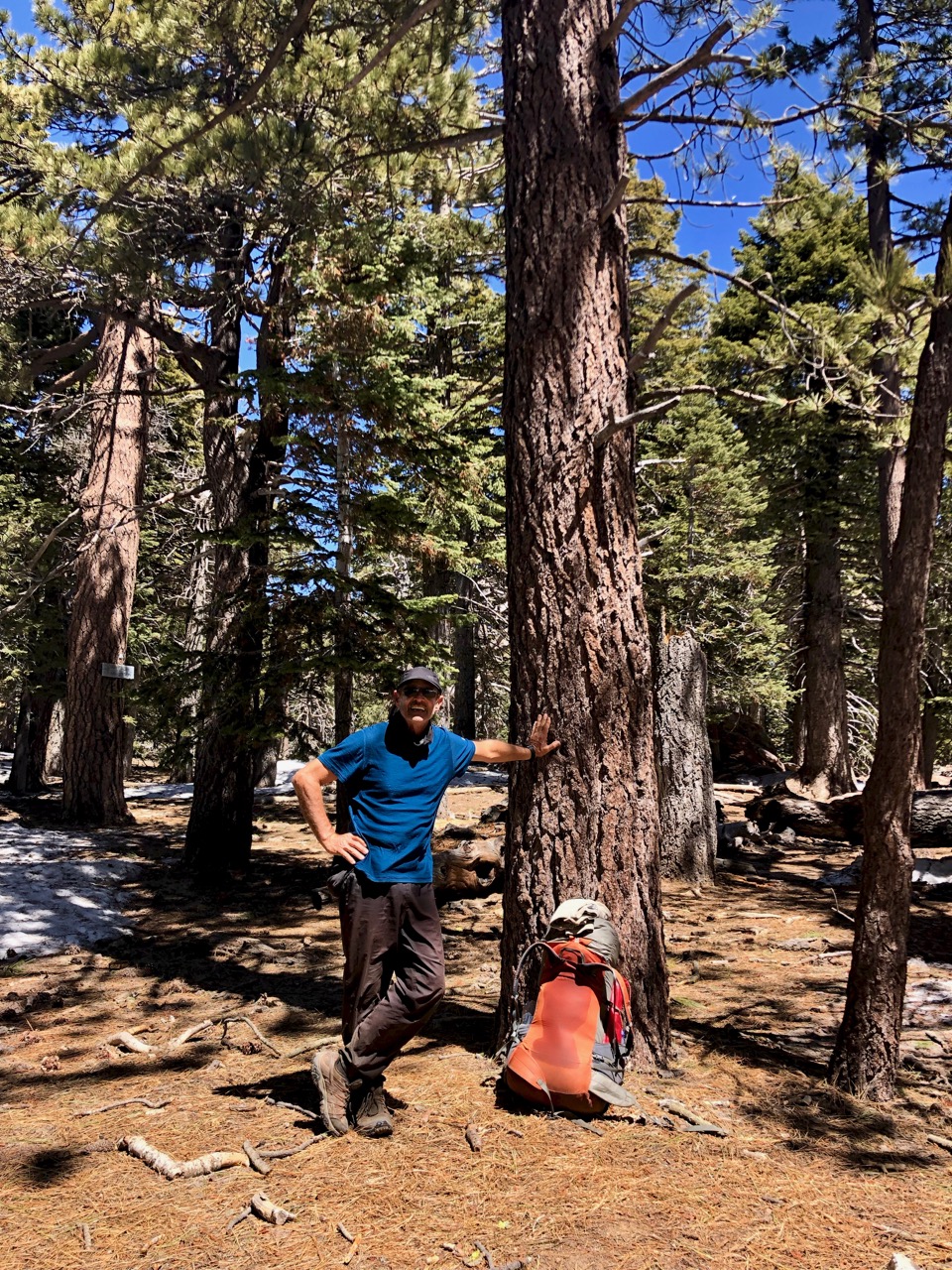
Mosquitoes at Magog were bad, as they have been everywhere in 2020. (They were bad here in 2019, as well.)
Rather than apply skin poison, for protection from the tiny vampires, I wear baggy nylon clothing instead. Even when it’s hot.

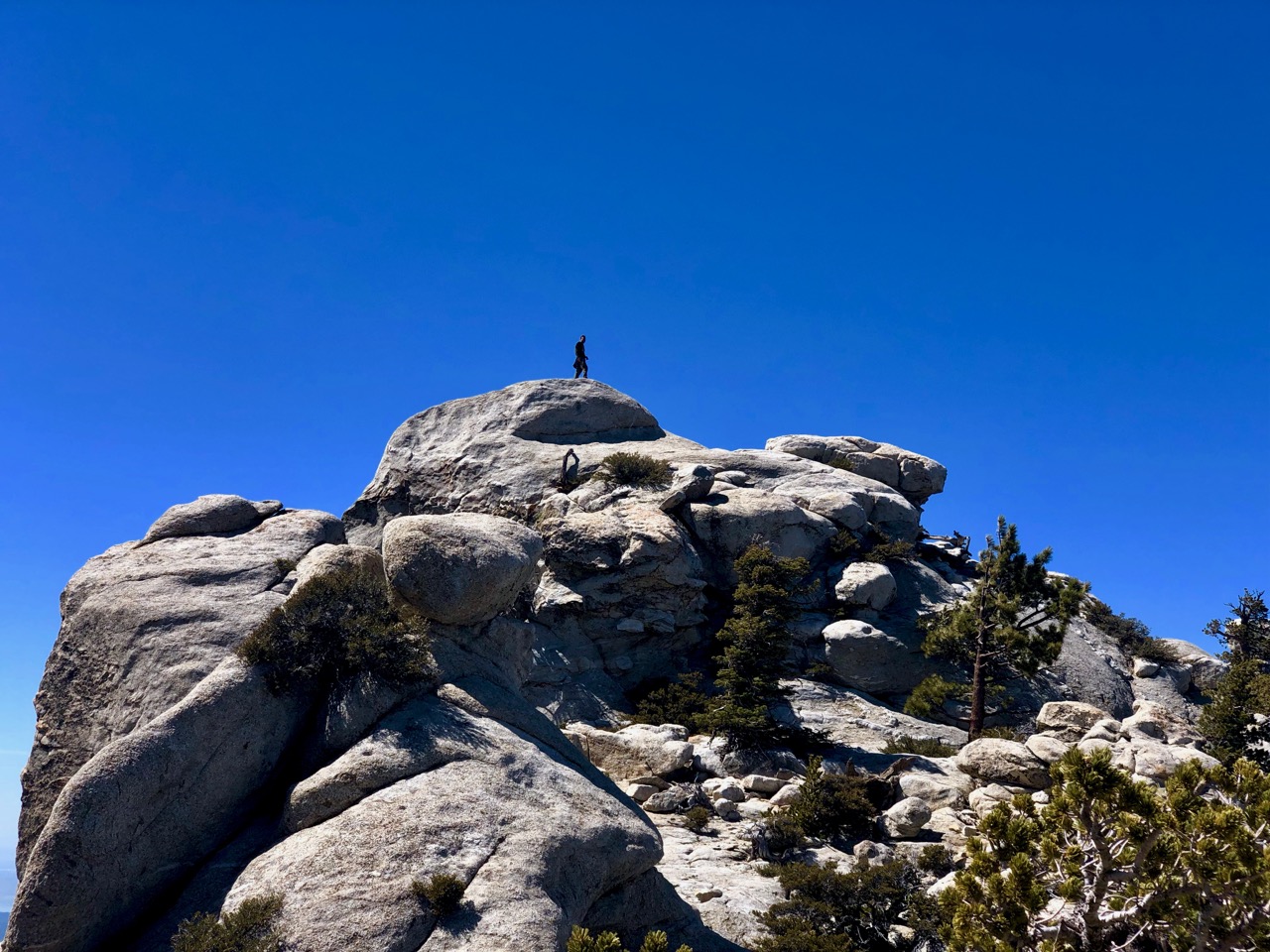
On the return from Chuck’s, somebody had the bright idea to scramble up to Nub, rather than backtrack to the correct trailhead.

As you would expect, that didn’t work.
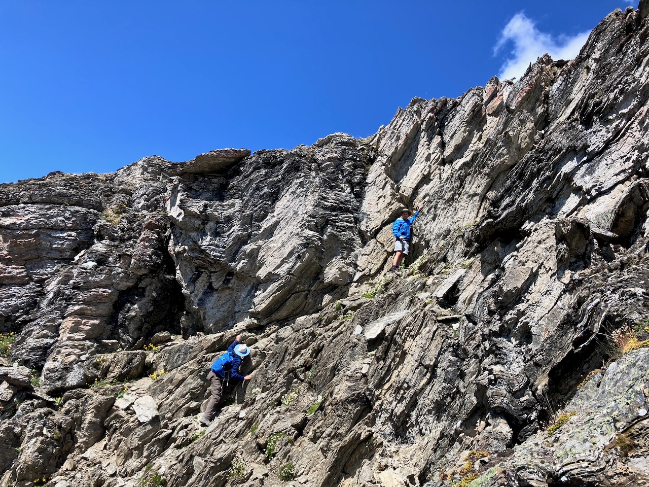

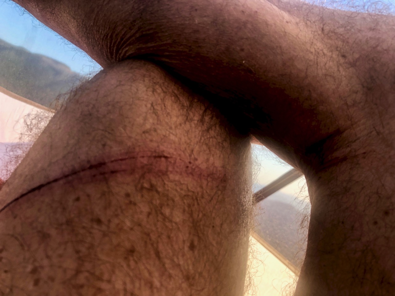
When it got too dangerous, we decided to scree back down the way we came.
This about finished my worn out Merrell Moabs.

Click PLAY or watch our scramble on YouTube.
After a lunch break at camp, we set out again for Nub. The trail sign had been stolen — so many were missing the turn as we had in the morning.
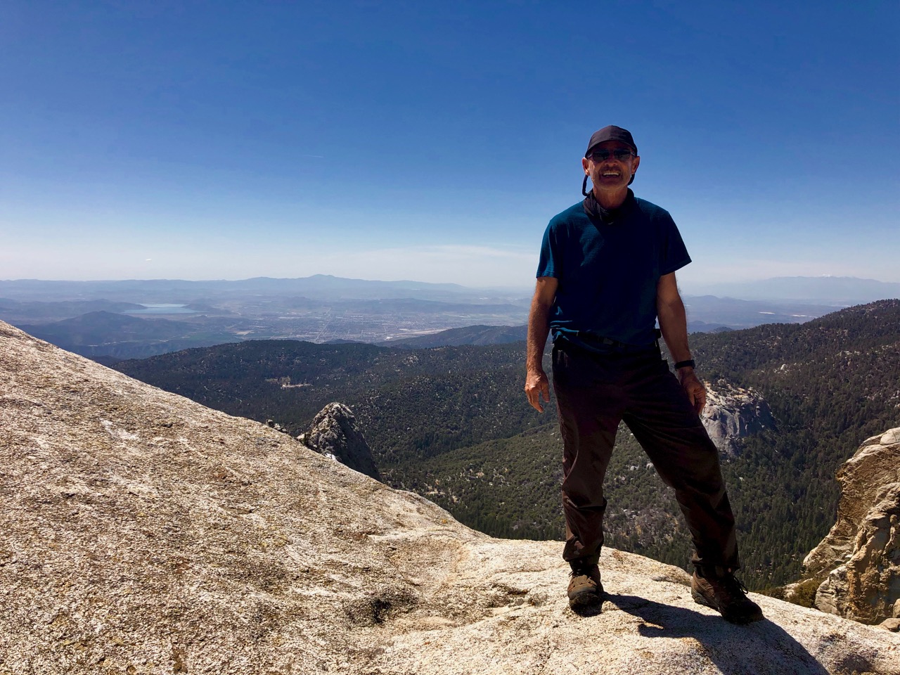
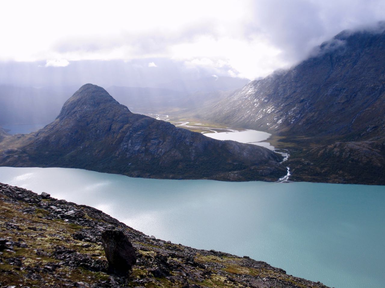
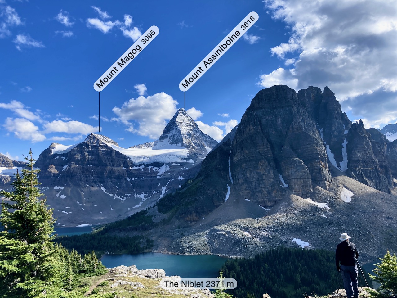
First stop is the Nublet. Next the Niblet. The classic Assiniboine vista.


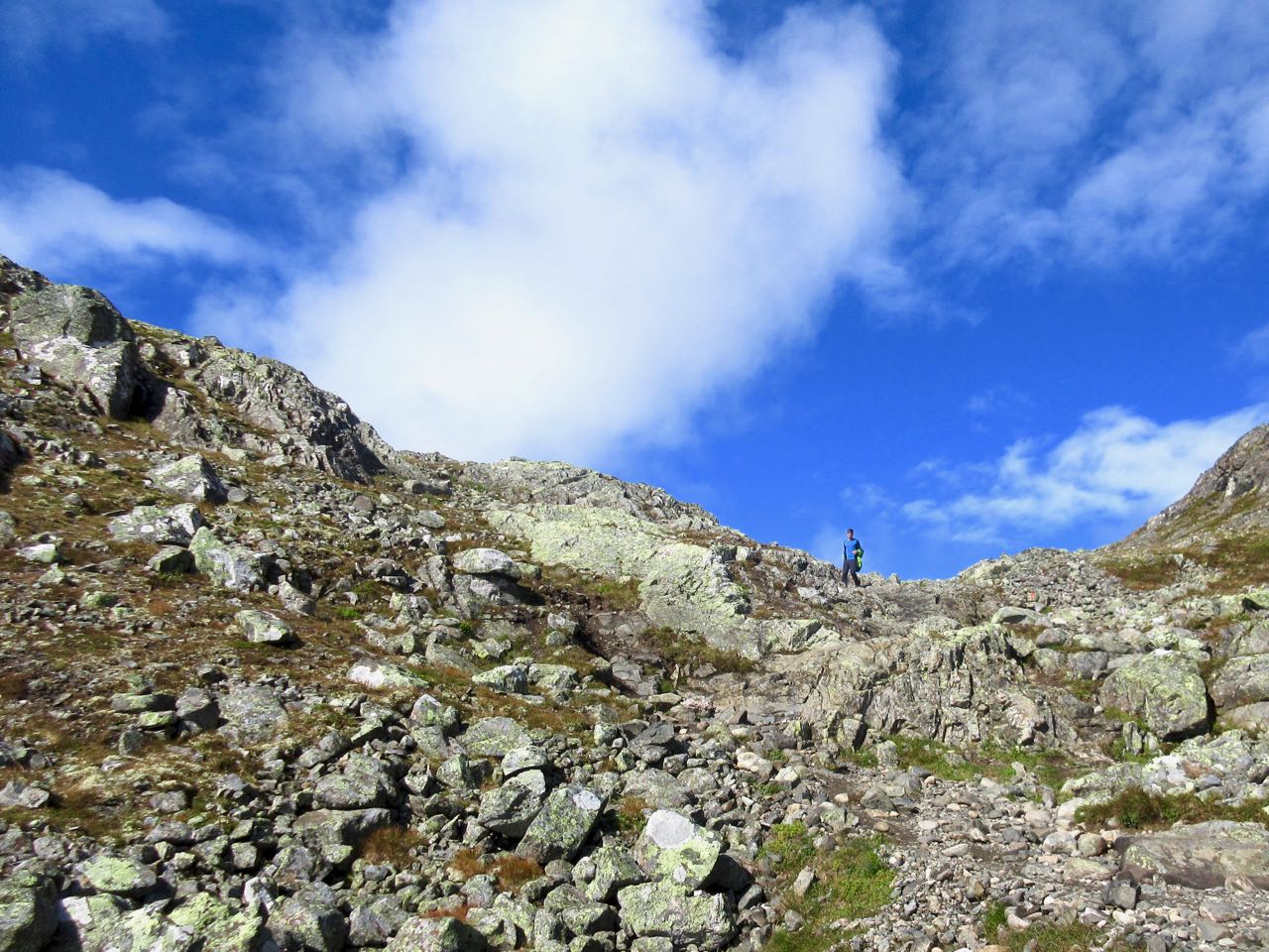
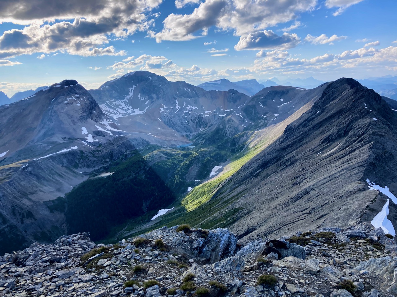
I’ve always enjoyed the ridge walk up from there.

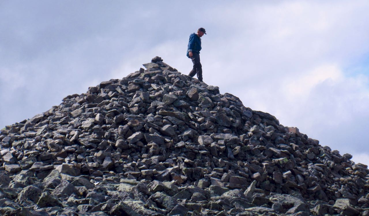
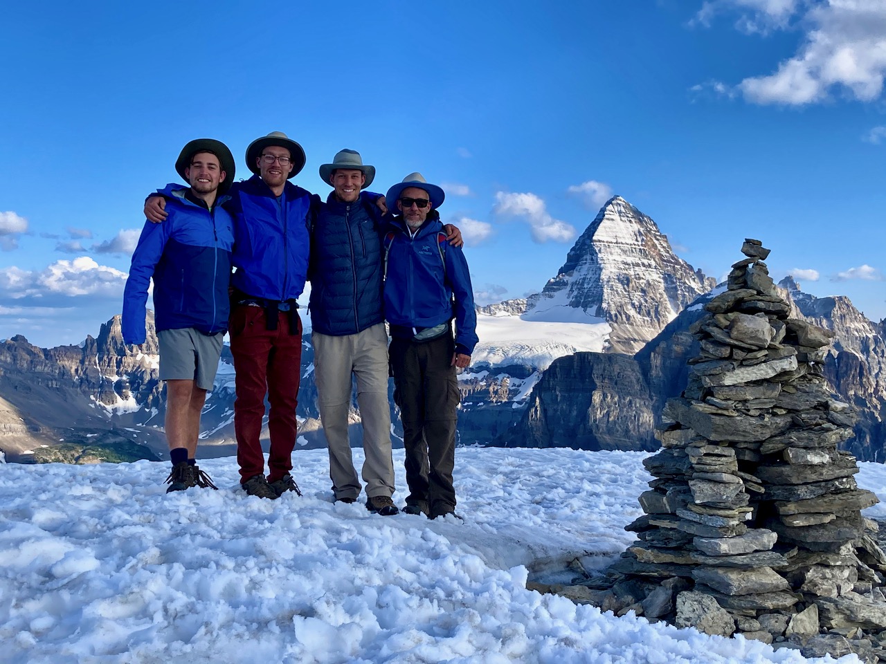
Here’s the Nub Peak summit cairn.

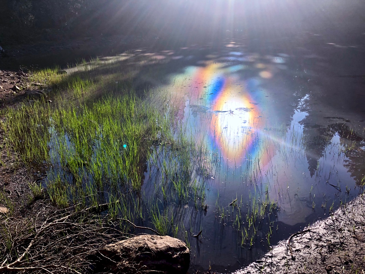
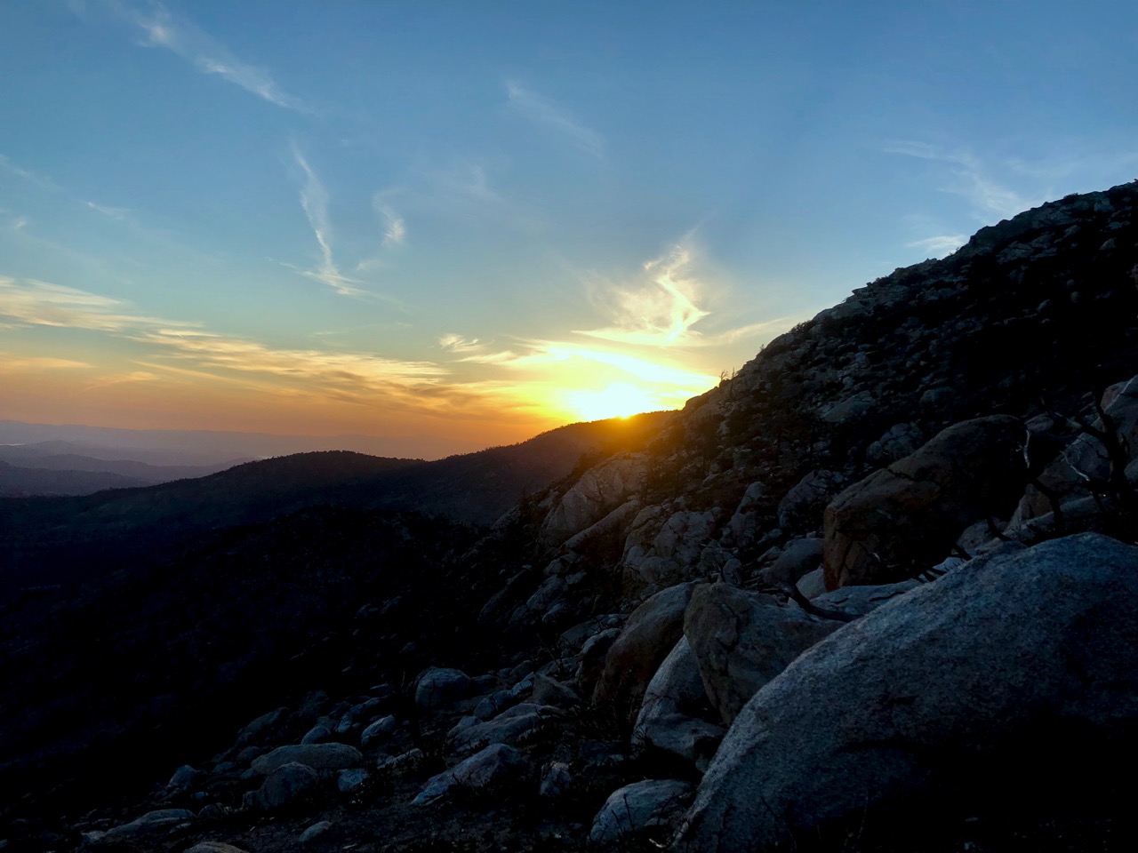
Henry noticed an interesting phenomenon of light.
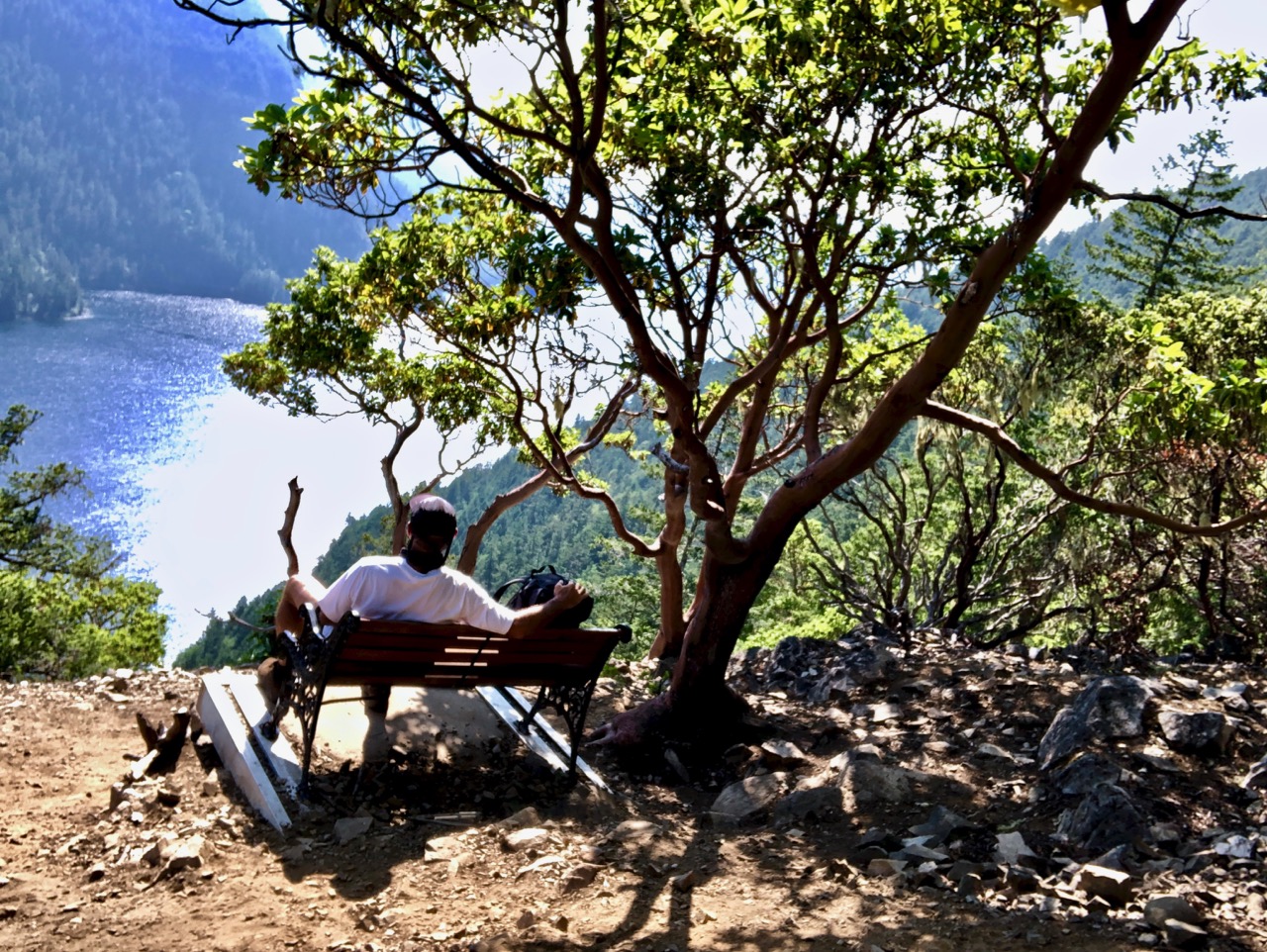
Last ones on the mountain, we lingered.


Up high the wild flowers were still in bloom.

Vistas of Assiniboine are some of my favourites world wide.

Click PLAY or watch a short video of our Nub on YouTube.
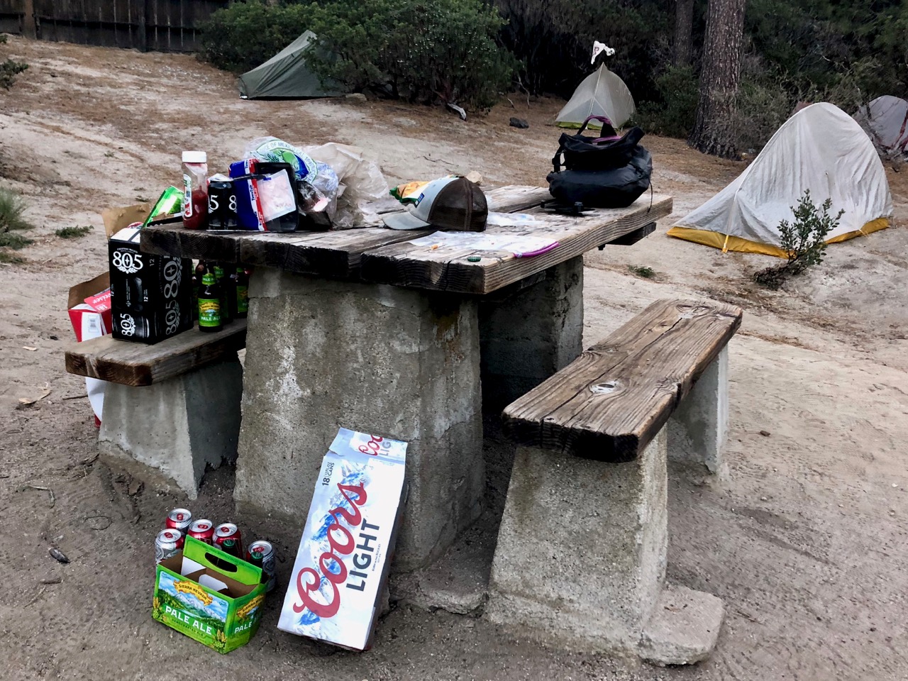
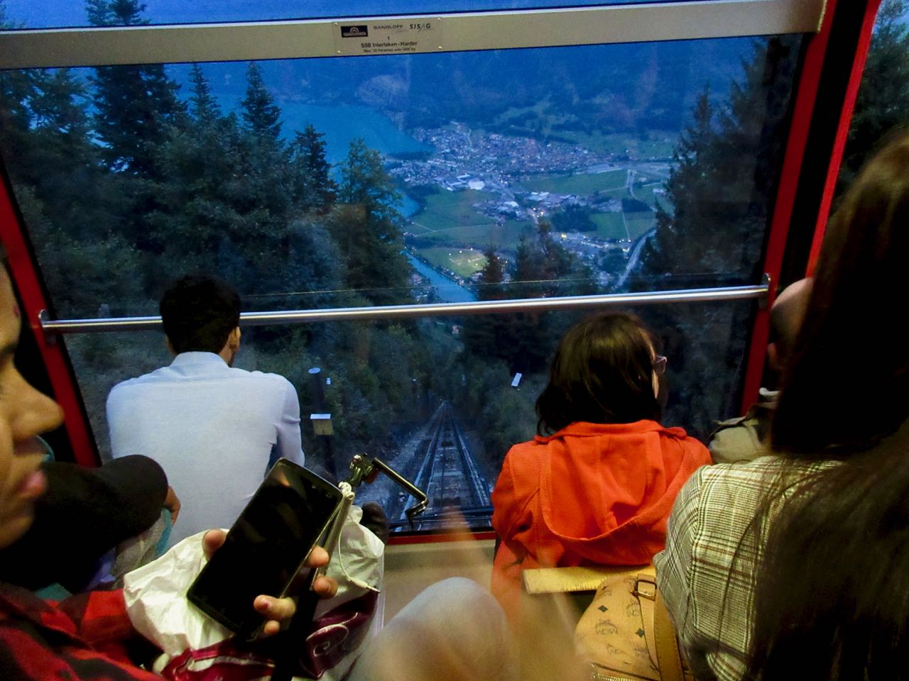
We were very late getting back to camp.

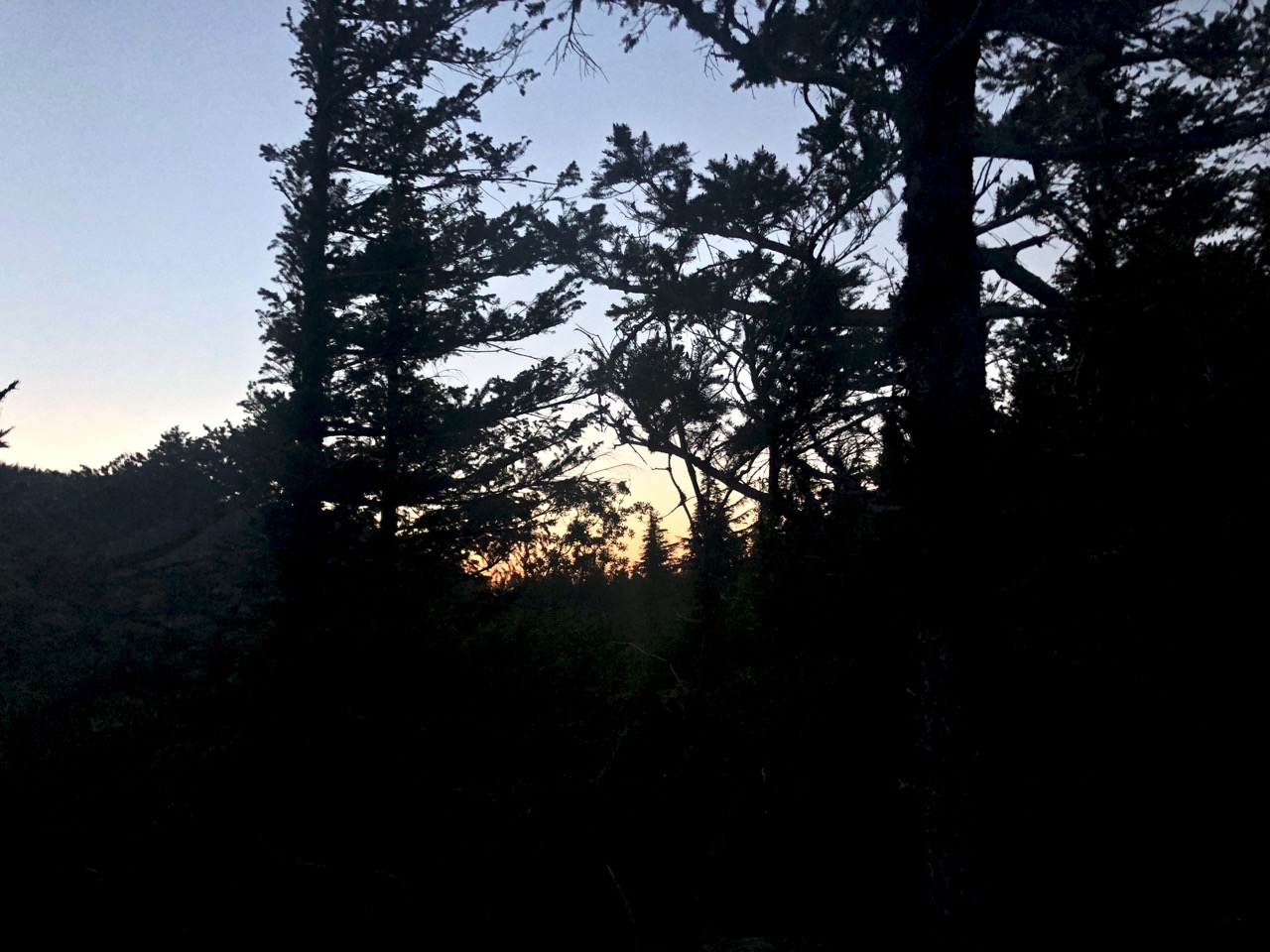
Dinner in the dark.