1. Dog Mountain
2. Stawamus Chief
3. St. Mark’s Summit
4. Mount Cheam
5. Mount Baker Recreation Area
6. Garibaldi Lake
7. Diez Vistas
8. Crown Mountain
9. Mount Seymour
10. The Binkert Lions

Thanks Molly.


Best hikes, treks, tramps in the world.
1. Dog Mountain
2. Stawamus Chief
3. St. Mark’s Summit
4. Mount Cheam
5. Mount Baker Recreation Area
6. Garibaldi Lake
7. Diez Vistas
8. Crown Mountain
9. Mount Seymour
10. The Binkert Lions
Thanks Molly.
Trip report by site editor Rick McCharles.
day 0 | day 1 | day 2 | day 3 | day 4 | day 5 | day 6 | info page
A last minute change in my transportation itinerary required that I finish the West Coast Trail a day ahead of the rest of my group.
That meant I’d need to finish the last 2 days by 4pm TODAY, in time for the last ferry across the Gordon River.

I packed up in the morning gloom.
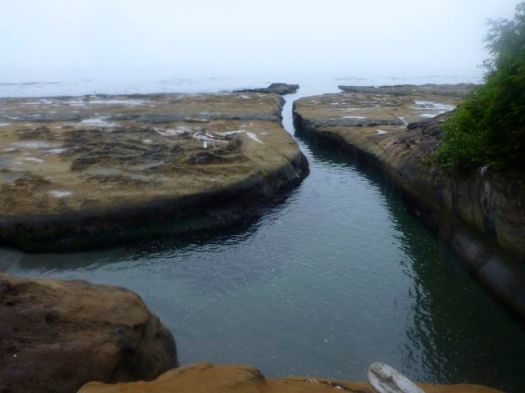
Alone and at low tide, however, I made very good time.
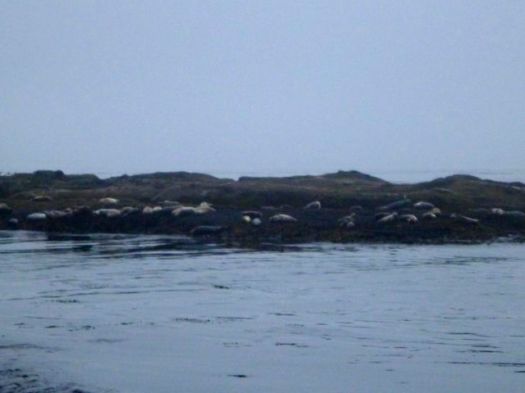
It was just me and these … smelly guys.
Sea stacks are the iconic image of the West Coast Trail.
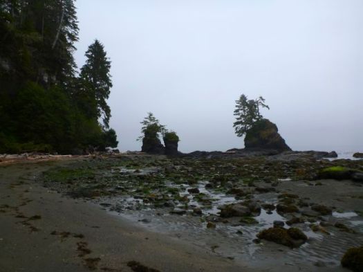
I did linger to take some photos at Owen Point.
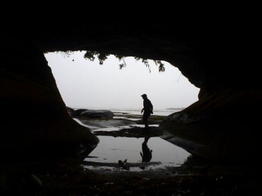

In my opinion, the most dangerous section of the West Coast Trail is not Adrenaline Surge, rather the boulder section between Owen and Thrasher.
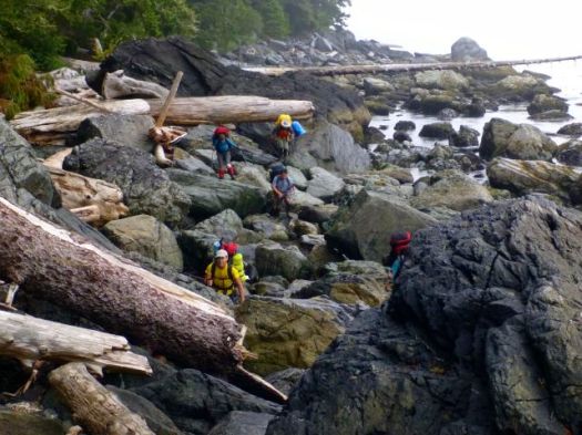
These are hikers coming the other direction. In wet conditions, the footing is treacherous.
Walk balanced atop beached logs instead, at every opportunity.
I stopped for brunch at Thrasher, pleased with my time getting there. A brazen mink was making the trip from the safety of the forest to the shore right beside hikers.

It was trying to tear off chunks of a dead octopus, washed up on the rocks.

Twice a bald eagle swooped in. First time we assumed it was defending the dead octopus. After the second, we realized it was trying to take the mink, instead.
Ahead of me lay the “toughest” day. Supposedly.

In 1999 this short section to the Gordon River had taken us 10hrs.

I’m not sure what’s changed. But it seemed very easy. Very scenic. The footing excellent.
The only real challenge was wasps.
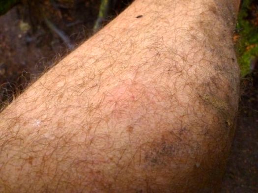
A scrawled paper warned of wasps. I ignored it. And was stung once.
Many others that day and the next were stung, as well. (Some were stung near Chez Monique’s, as well.)
But I had no time to lick my wounds. Here I am happy to have reached the Donkey Engine.
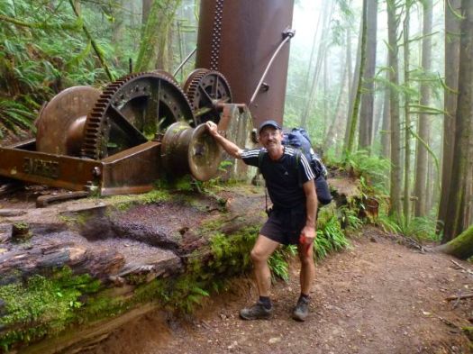

km 75. We made it in time for the 3pm Ferry.
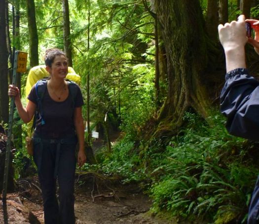
Happy. But dirty and tired. Some injured.
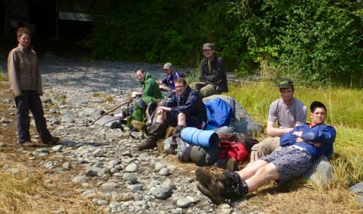
Myself. I felt great. Especially while cooling my feet in the chill Gordon.

If you miss the 4pm boat, there’s a chance you’ll be spending the night here.

On the civilization side you can immediately get a hot shower at the campground.
Transportation clicked. I caught the 5pm WCT shuttle to the downtown Victoria bus station. I was at my parent’s home in Parksville by 10pm.
more photos from this day
day 0 | day 1 | day 2 | day 3 | day 4 | day 5 | day 6 | info page
Trip report by site editor Rick McCharles.
day 0 | day 1 | day 2 | day 3 | day 4 | day 5 | day 6 | info page
Morning was, again, misty.
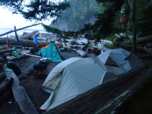
We enjoyed one of the better toilets here, however.
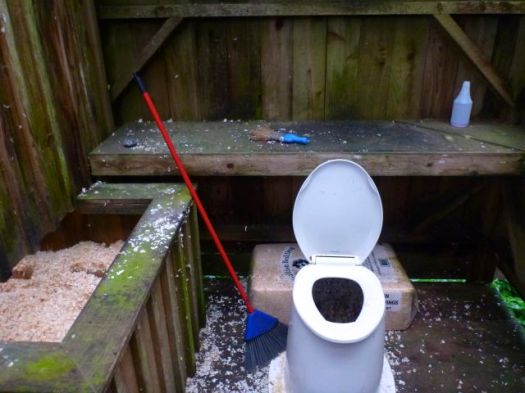
Sawdust does help reduce odour.
Seems the expensive solar composting toilets (used in the past) are no longer “must have” technology.
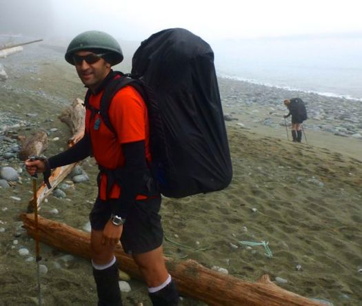
Hicham dressing for battle.
We faced the most dangerous section of the West Coast Trail — dread Adrenaline Surge.
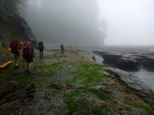
Our arrival was perfectly timed for low tide.
Two choices. Down and back up? … Or scramble around?
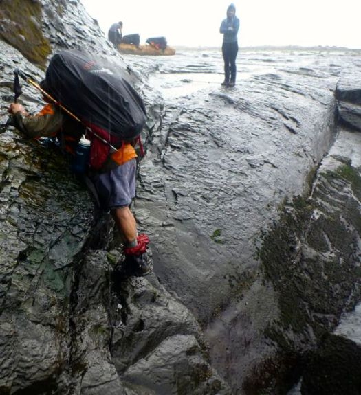
We opted to stay high rather than risk a freak wave flushing us out to sea. That had happened to a friend of ours in the past. (She was washed back into the Surge on the next wave. And pulled to safety.)
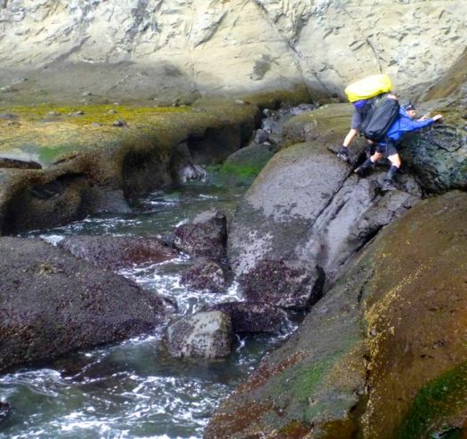
All 11 made the traverse safely. But it was very, very slippery.
If not confident in your agility, take the inland route, instead.
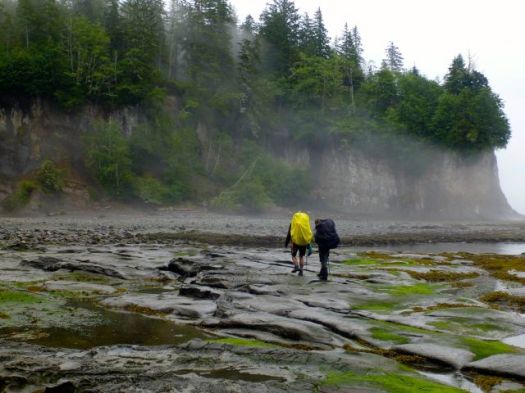
On the other hand, in good conditions, at low tide, the coast can be like a sidewalk. Sandy and myself ALWAYS voted to take the coastal route. Vistas are magnificent.
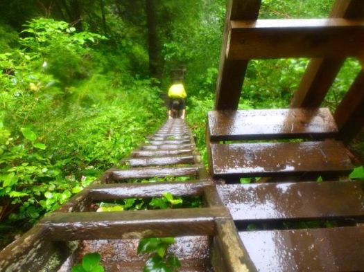
The first word that comes to mind when describing the WCT is … LADDERS.
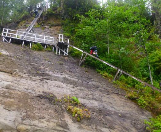
There are MANY. Some are LONG and STEEP.
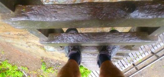
This is no adventure for those afraid of heights.

The second word that comes to mind is … RAIN.
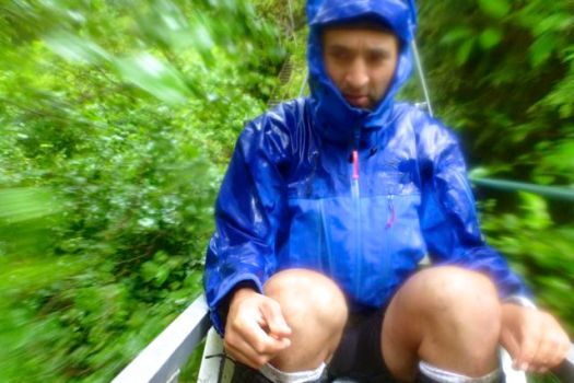
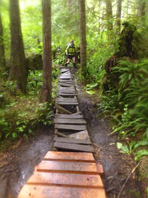
The WCT is no place for those afraid of slipping on wet surfaces.
Nor those who don’t like to get dirty.
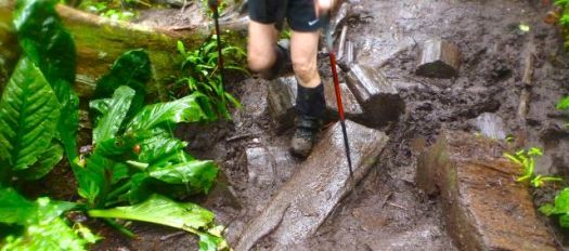
Actually, we had only a few hours of rain. This was a relatively dry week on the Wet Coast Trail.
Any idiot can hike when it’s dry. It takes experience and expertise to enjoy camping in the rain.
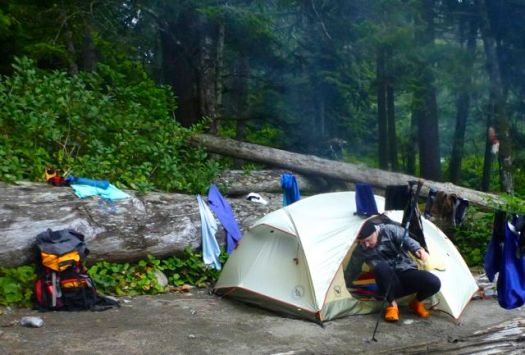
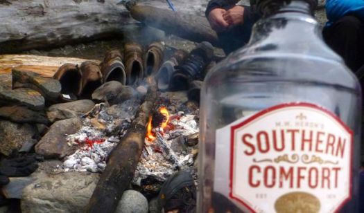
I insisted we finish off my booze.
Good night.
more photos from this day
day 0 | day 1 | day 2 | day 3 | day 4 | day 5 | day 6 | info page
Trip report by site editor Rick McCharles.
day 0 | day 1 | day 2 | day 3 | day 4 | day 5 | day 6 | info page
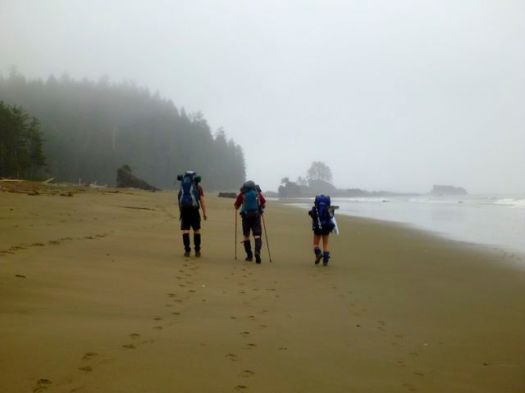
Another misty morning on the West Coast Trail.
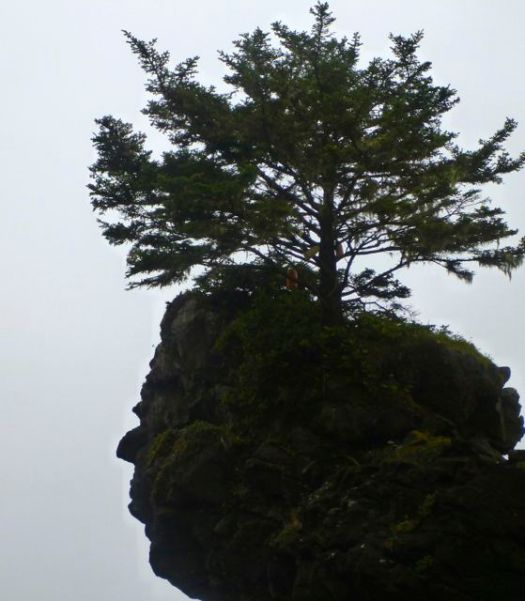
Look! That head has a tree growing out of it. 🙂
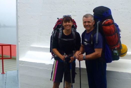
Happy hikers at the Carmanah Point Light Station.

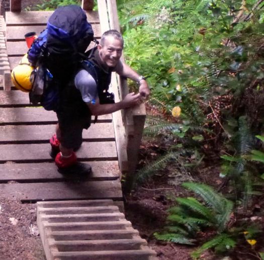
Warren’s happy too. He knows Chez Monique’s is close.
This was the 4th time over the past 14yrs that I’ve enjoyed this Beach restaurant. This time I took the opportunity to hang out with the Quebecois founder. Still feisty after all these years.
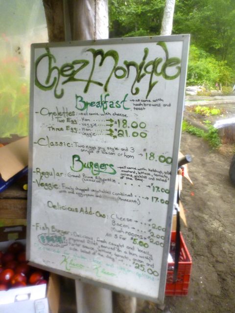

I learned of a new service. The restaurant will transfer 40 pounds of your food by boat for $35. You pick up that package when you get to Chez Monique’s. I’m not sure who to contact to arrange that transfer, however.
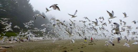
One of our best moments was hiking through tens of thousands of gulls.
Of our 11 hikers, only 4 were brave enough to scramble the river inland to see the Canada’s tallest tree, the Carmanah Giant, at 95.836 m (314 ft). It’s the tallest Sitka Spruce in the world, too.

A fair bit of boulder hopping was required to keep our feet dry.

I left a Summit Stone in tribute.
Another day, more superb and varied hiking.


Some of our group reached Camp via the inland route. Some took the shore.
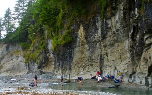
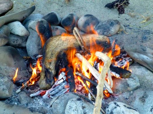
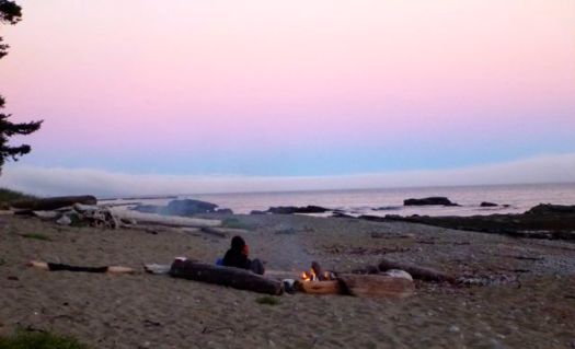
One of the great joys of coastal hiking is the evening fire.

It’s not always easy to find dry wood, however.

more photos from this day
day 0 | day 1 | day 2 | day 3 | day 4 | day 5 | day 6 | info page
Trip report by site editor Rick McCharles.
day 0 | day 1 | day 2 | day 3 | day 4 | day 5 | day 6 | info page
Though dry, 2003 was a foggy summer on the West Coast Trail.

I’m trying to dry dew and mist before packing up.
Morning fog typically burns off fairly rapidly on the coast. But not this week.

We timed our departure to reach Tsusiat Point at low tide.


We did some gymnastics.

Warren showed off his mussels.

In 1999 we could get mobile phone service most every day. In 2013 there was nothing, no matter how you “held” your phone.

Wealthier folks than I reserve a night or two at the Dididaht tent camp.

Happy. Happy. We reach Nitinat Narrows.
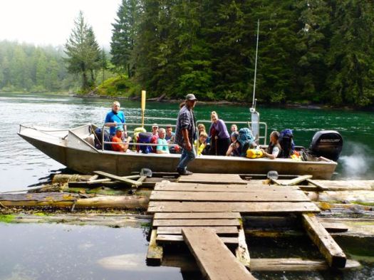
The cost of this crossing is built into your hiking fees.
Some of us bought treats on the south side “restaurant”.

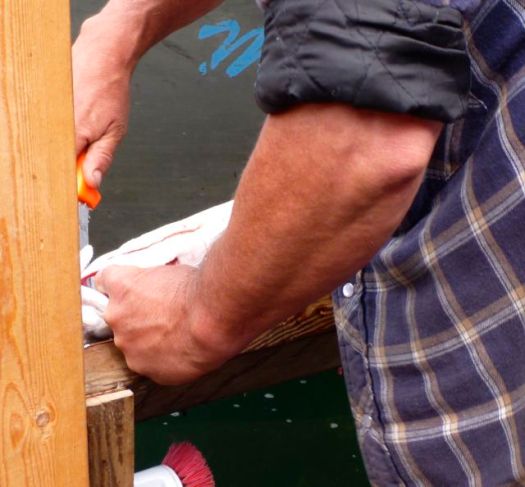
On recommendation of the fisherman, I ordered salmon. It was cleaned in front of my eyes. Then served up with a delicious baked potato. ($25)

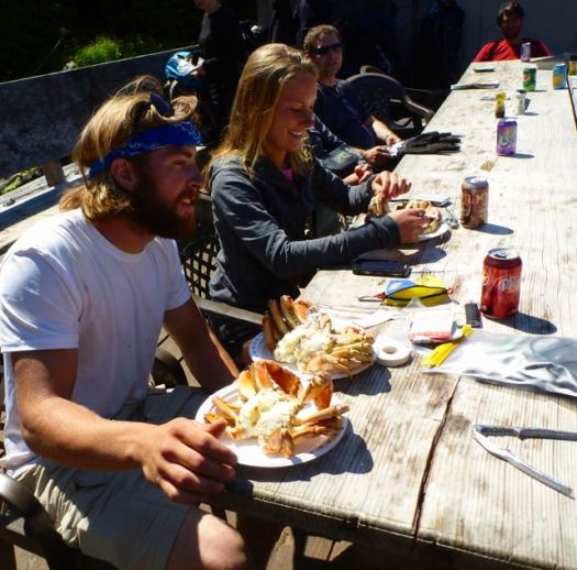
This guy ordered 2 crabs for himself. And ate every bite.

Onward.

Onward.

SOMEBODY got us lost, trying to stay on the coast when it was impassable.

Who was that, Bill?
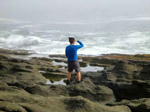
We backtracked. Then made the final push to weird and wonderful Cribs Creek campsite.

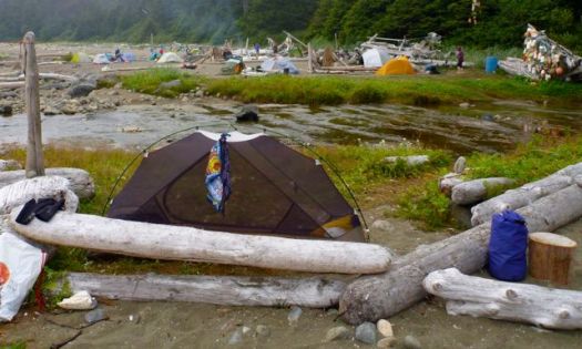

Food tastes GREAT when you are on the Trail, burning a lot of calories.


more photos from this day
day 0 | day 1 | day 2 | day 3 | day 4 | day 5 | day 6 | info page
Trip report by site editor Rick McCharles.
day 0 | day 1 | day 2 | day 3 | day 4 | day 5 | day 6 | info page
By luck I met my friends at the store in Bamfield, buying last minute provisions. Everyone but myself had arrived by JUAN DE FUCA EXPRESS Water Taxi. (about $135 / person one way in 2013)
They’ll be hiking back to their vehicles in Port Renfrew.

Still clean. Still fresh. But with HEAVY packs. 🙂
It’s not easy to get permits for a group this large. (The maximum group size is 10.) But we somehow managed it, booking by phone the very first minute that reservations are taken.

Famously — this is supposed to be the EASY end of the WCT. Yet Sandy found this the toughest day of all.
Sandy’s catch phrase for our adventure, day-by-day, was from Big Bang Theory:
What fresh Hell is this?
Day 1 was not all that “easy”. New ladders have been added at the Bamfield end.

Still — there are some gorgeous attractions.
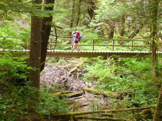

When it’s not raining, temperate rain forests are intriguing. So many odd mushrooms, for example.


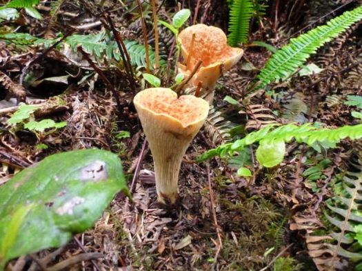
Trying NOT to accidentally step on huge Banana slugs is a challenge.

At this end, many of the biggest old growth trees have been logged.

How are the toilets, you may ask?
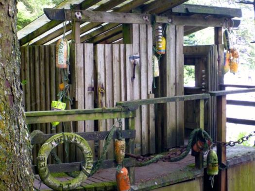
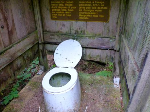
Not as good as on my past trips. Avoid them if you can. Sit in the woods, instead. 🙂
How is the mud?

Not as bad as on past trips. 2013 was a very dry season.
As always, the safest strategy is to plod right through the middle. This is one trek where waterproof footwear and gators are recommended.
Most of our group was from flat, FLAT Saskatchewan. Tidal pools are a big attraction.
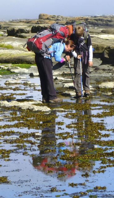
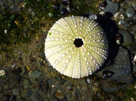
All week our timing with the tides was perfect. Hiking the coast when tides are low, weather dry, makes the WCT far, far easier.

On my other trips we camped at Michigan. Trying to avoid the crowds, we kept going to Tsocowis Creek. We found it fairly crowded.


What’s this weird toilet-paper-look-a-like kelp?

For the first time on the WCT (for me), we had a bear lockers at every campsite.

A perfect start to the West Coast Trail. 🙂
… Except that my headlamp failed. New batteries were dead. 😦
Warren advised to put a piece of plastic between the batteries and the contact while in transit. Next time.
more photos from this day
day 0 | day 1 | day 2 | day 3 | day 4 | day 5 | day 6 | info page
 Trip report by site editor Rick McCharles.
day 0 | day 1 | day 2 | day 3 | day 4 | day 5 | day 6 | info page
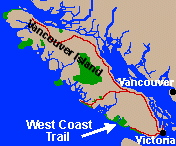
The West Coast Trail on Vancouver Island in Canada is our #1 hike in the World.
This was my 4th WCT. 🙂
My Dad dropped me at the ferry in Port Alberni. Riding the Francis Barkley is my favourite way to start the WCT.
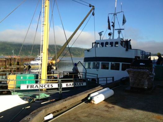
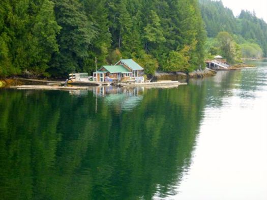
The weather was perfect as it had been for most of the summer of 2013.
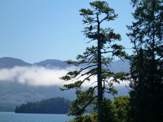
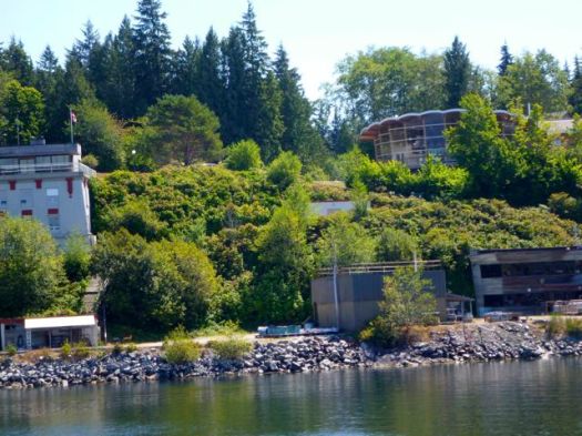
Scheduled to rendezvous with the rest of my group next day, I could have taken a trail shuttle out toPachena Bay Campground at the trailhead.
Instead, I stayed at small Centennial Park Campground ($23) in Bamfield.
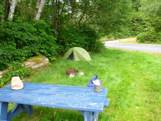
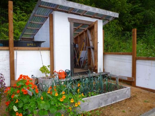
Having no place to store my food overnight, I ended up leaving it in this shed. Storage for a communal fenced garden.
My new lighter failed. They truly are an unreliable technology. 😦
It was nice to have a final few hours with phone / free internet access (Bamfield Community School Library). And there were OTHER good reasons to spend my last night in Bamfield. 🙂
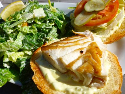

I enjoyed both meals at Tides and Trails Restaurant.
more photos from this day
day 0 | day 1 | day 2 | day 3 | day 4 | day 5 | day 6 | info page
scenes from the trail has a detailed trip report on the new North Coast Trail on Vancouver Island. These ladies found it easier than I did. 🙂

Distance: 59.5 km (including about 16 km which is part of the Cape Scott track).
Recommended number of days: for average parties 5.5-7, for fast and very fit parties 3.5-5.
Location: Near Port Hardy, BC. Part of Cape Scott Provincial Park.
Logistics: A water taxi is necessary to get to the starting point at Shushartie Bay. The North Coast Trail Shuttle offers a water taxi from Port Hardy and a pick up at the Cape Scott trailhead (about 60 km from Port Hardy).
Bookings: At this stage, it isn’t necessary to book the track. You should book your shuttle/boat in advance. You must also pay a back country fee to BC Parks of $10 per person, per night.
Further Considerations: Make sure you consult a tide chart before leaving, and have one with you. There is only one short section that is truly impassable at high tide, but many of the beach sections are much easier at low tide. Also consider that this is an area in which there is a lot of wildlife, particularly wolves and bears. …
read more – scenes from the trail – The North Coast Trail
related – Club Tread – North Coast Trail
I’m just back from our #1 hike in the world. 🙂
Detailed trip report coming in September — following our reunion slide show & meet up in Saskatoon.
Until then, here’s a short video montage that will give you a glimpse.
Click PLAY or watch it on YouTube.
I got a chance to hike on the wild west coast of Vancouver Island on May 14th.
6 hikes / trail runs.
Parks Canada handed me this map. And recommended a number of hikes.
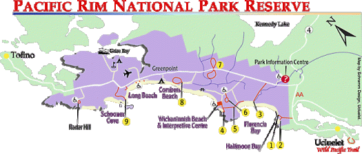
4+5 South Beach Trail + Nuu-chah-nulth Trail (out and back)
7 Rainforest Trail A
7 Rainforest Trail B
8 Combers Beach Trail
Wild Pacific Trail (Ucluelet) – Lighthouse Loop section

Trails in Canada are as well maintained as any in the world. There is a ton of boardwalk in these temperate rainforest hikes.

Instead of watching your boots, you’ll be looking up at the huge old-growth trees.
When Captain Cook first arrived, the old growth forests looked endless. Only 1 in 10 of those ancient trees still stands today.

Pacific Rim National Park Reserve of Canada – Hiking – Long Beach Unit
HIGHLY recommended. 🙂

