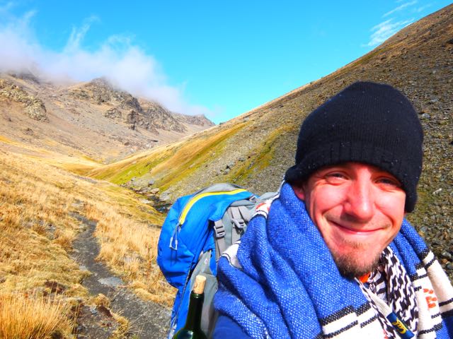
trip report by besthike editor Rick McCharles
Not being a rock climber, I’d never heard of Cochamó before this trip. But the photos were intriguing.

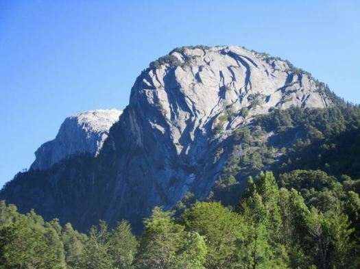
… The valley has a striking similarity to Yosemite Valley, due to its granite domes and old-growth forests. Like Yosemite, rock climbers from around the world come to climb the valley’s several 1,000 meters (3,300 ft) granite walls. However, it is also an unexplored paradise for serious and hikers – with trails ranging from easy to challenging, a myriad of rare bird and plant life, and a stunning landscape. …
The trail’s most famous users were Butch Cassidy and the Sundance Kid, who, while hiding out for a couple of years at their ranch in Argentina, actually drove their own cattle down to sell in Cochamó. …
Almost the entire valley is privately owned …
International tourism was pioneered by German adventurer and maverick, Clark Stede, who brought the trail to the attention of mainly European visitors, and established two lodges – one at the mouth of the River Cochamó, and an “outback” lodge in the upper La Junta Valley (the ‘Yosemite’ of Chile). These evolved into Campo Aventura. (currently closed) This was in the early 1990s …
Getting to the Cochamó valley was more complicated that expected. The bus we awaited in Puerto Varas did not bother stopping as it was already full.
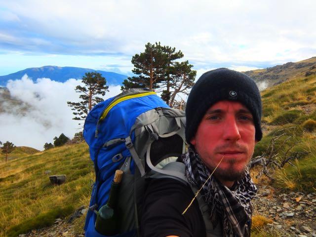
Myself and 2 other Canadians from Alberta decided to take a 30 min bus to Puerto Montt – the start – in order to get seats on the next bus to Cochamó.
In fact, many buses that Saturday were leaving Puerto Montt full. Cochamó is very popular with Chileans during the summer.
The bus drops you at Cochamó town or the turnoff to the trailhead, just past the town.
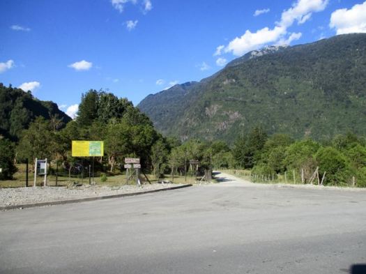
From there I paid an additional couple of dollars for a shuttle to the trailhead itself.
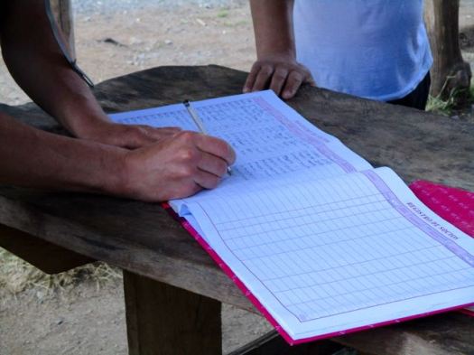
You are required to register but there’s no cost for the hike.
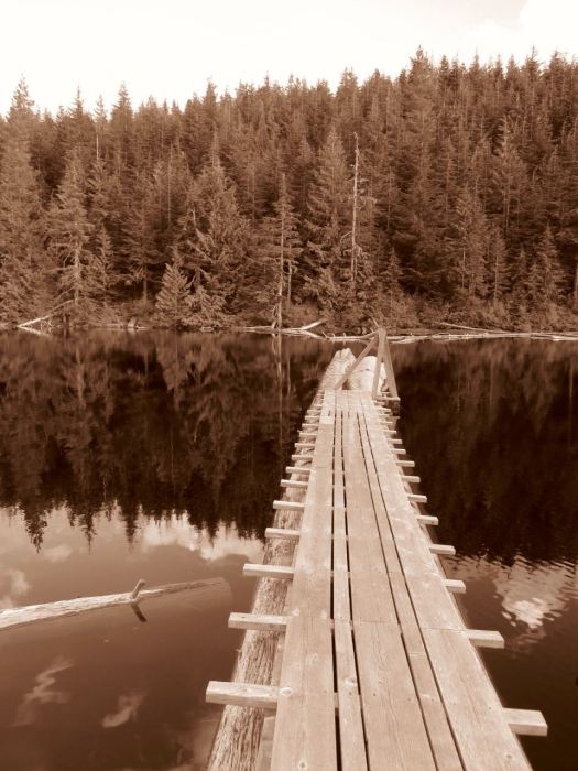
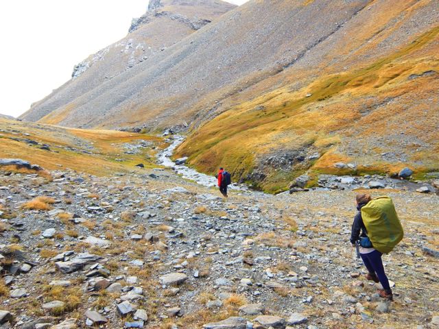
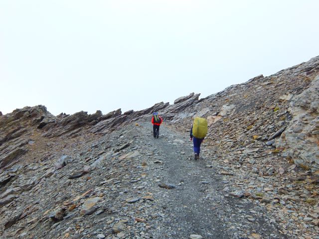
You head into the trees. For 13kms.

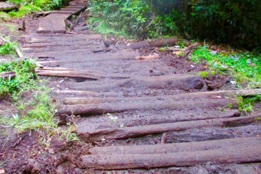
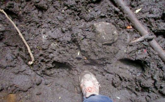
13kms of muddy, horse churned muck.
Luckily, it had been sunny for weeks prior to my visit. I could almost get through without getting my feet wet.
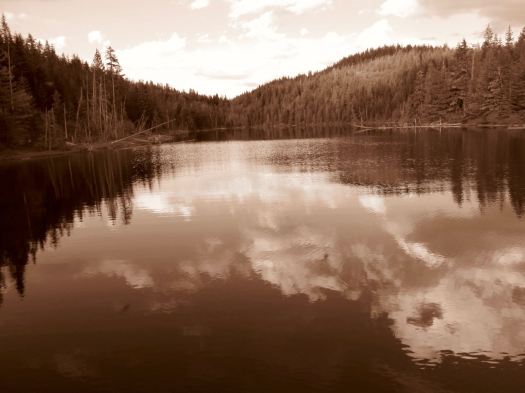
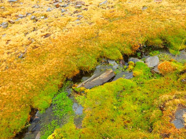
About the only highlight was catching glimpses of the crystal clear, pretty river.

I ran out of daylight putting up my tent near the trail about 10pm.
Very early next morning I hiked on another hour or so to La Junta.

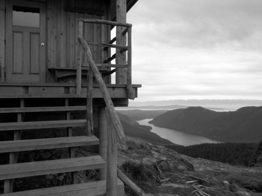
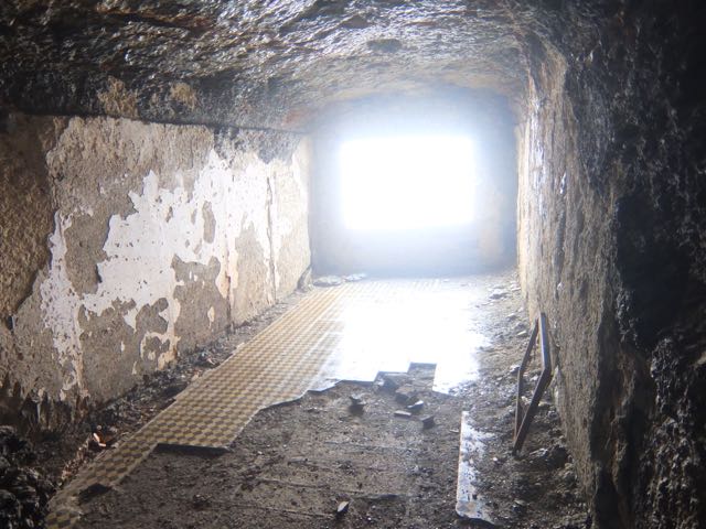
Of several campgrounds available, I was most impressed with Camping Trawen.
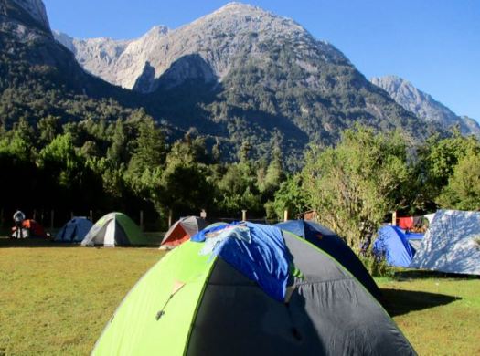


But a petty tyrant lady terrorizing campers there motivated me to cross the river by cable car to stay at the next campground.


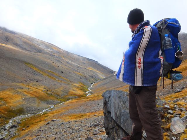
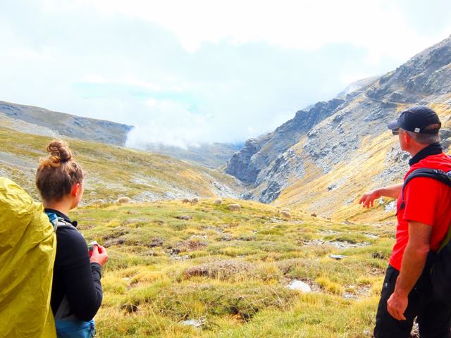
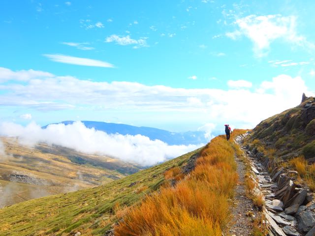
For hikers it’s recommended to camp in the valley. Day hike up, up, up on 3 different trails:
• Trinidad (13km return)
• Amphitheatre (8km return)
• Arco Iris (13km return)
I planned to do Trinidad & Amphitheatre day 1. Arco Iris day 2. Then hike out in time for the bus.
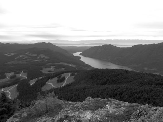
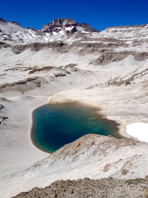
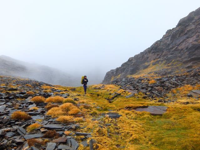
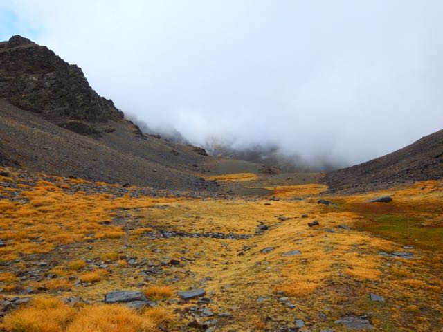
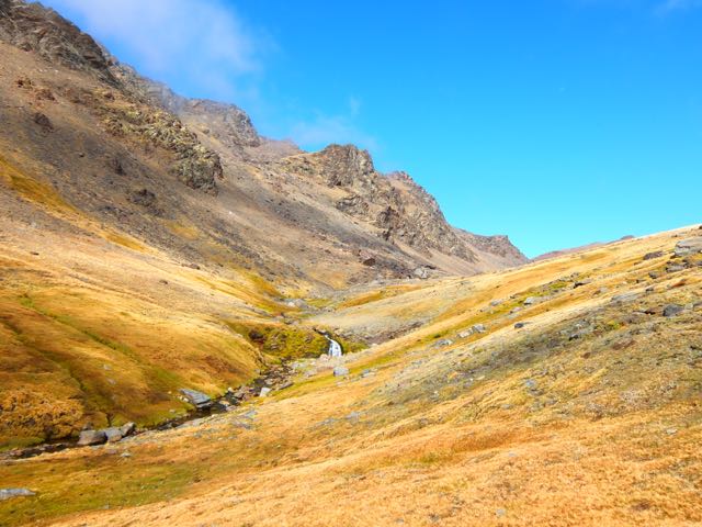
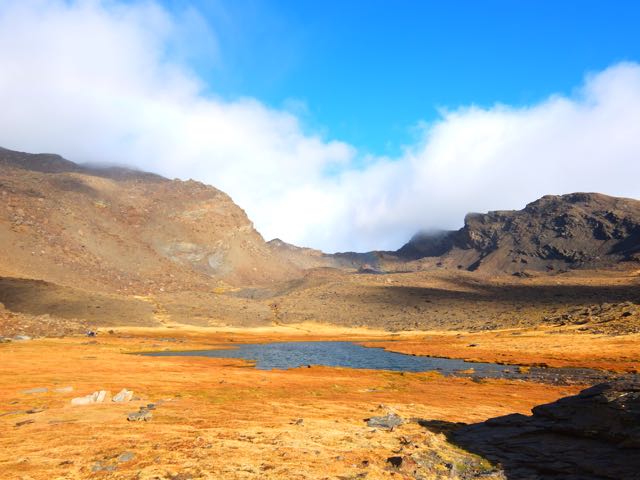
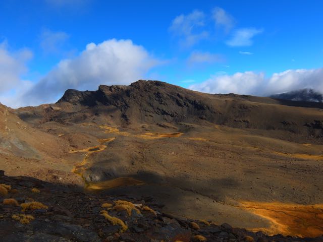
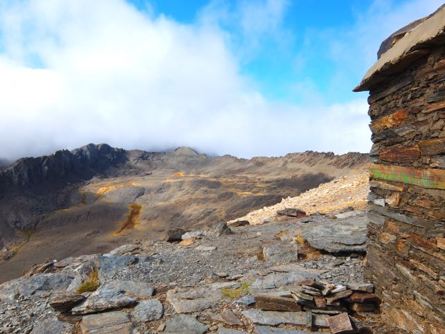
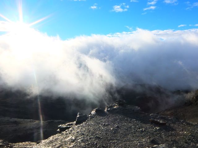
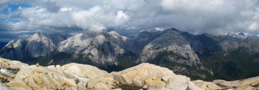
Views from La Junta were enticing. It did not look all that far to the walls.
I started up quickly passing the famous water slide.

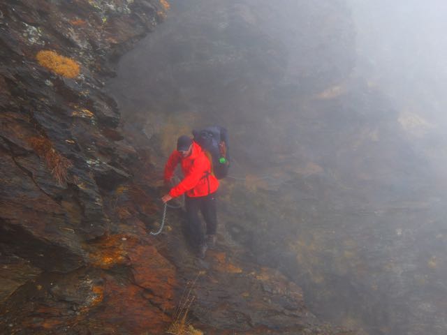
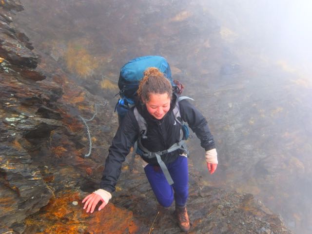
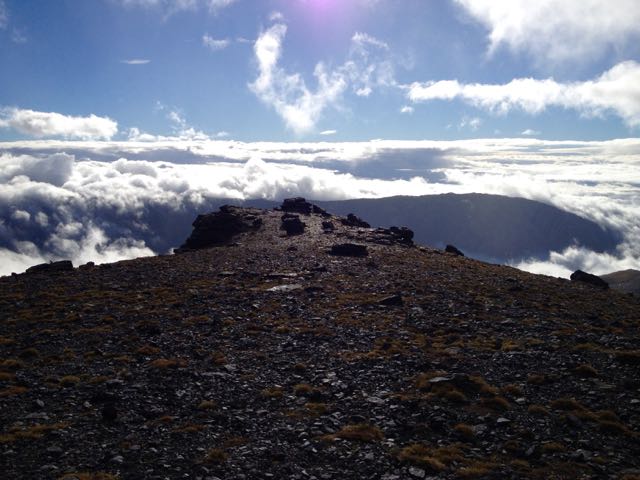
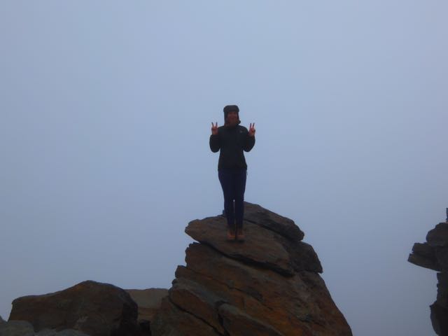
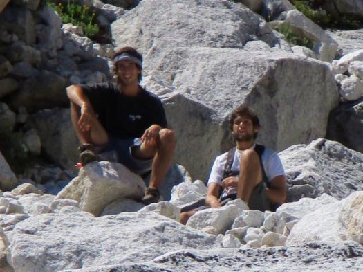
I was the first person to start up Trinidad that day. It took a couple of hours of scrambling (hands & feet) to get to granite. In the trees without all that many views.

A couple of young guys caught me and we traversed together for another hour.

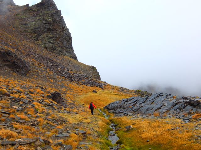
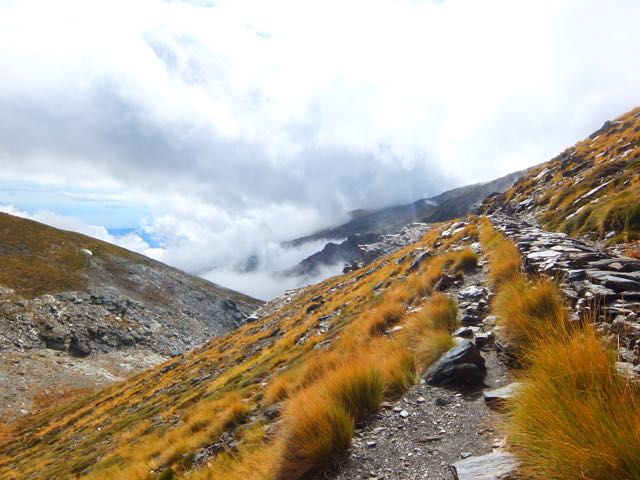
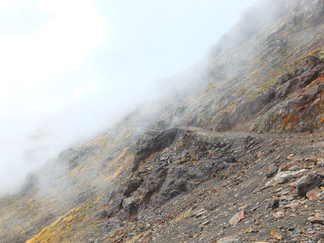
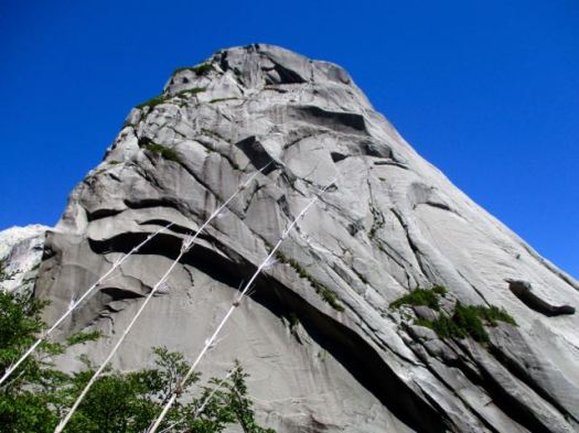
Route finding is tricky. These are not park trails but rather bushwhacking routes – the fastest ways climbers have found to get to the lines they want.
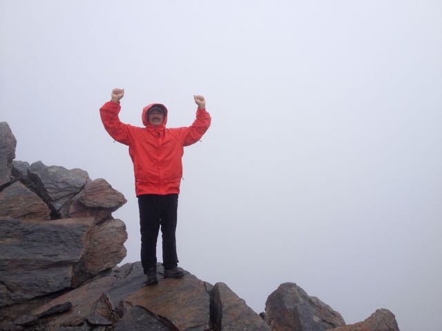
When I got to this vista I sat down to enjoy lunch.
A condor was checking us out.

The boys sat too. They couldn’t find the route to the end-of-the-line laguna.
It was us and the lizards.

I turned back, still wanting to get to Amphitheatre in the afternoon.


Back into the trees.
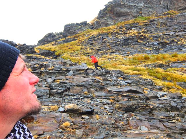
It seems Amphitheatre is far less popular. I saw very few people on this “trail”. There was some rope assistance for scrambling over this rock. It would be very, very slippery when wet.

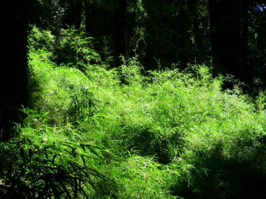
Orchids, I assume.

Amphitheatre is impressive. 🙂

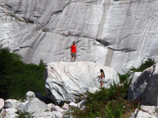

This was about 4:30pm, however. I didn’t stay long.
Sadly I left my camera at Amphitheatre. It was embarrassing to tell other hikers descending why I was going back up. Two hours back up. 😦
… It wasn’t there. Merde.
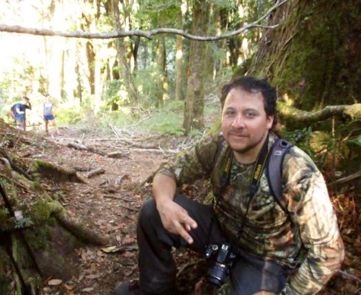
Happily, this guy had found my camera somewhere on the trail. Then hung it on a branch across the trail so I couldn’t miss it on my second descent. 🙂
That was about 7pm.
I hustled down as quickly as possible but it was still near dark before I reached my tent. I was exhausted from 15 hours or more on my feet. And fed up with narrow, dangerous scrambles.
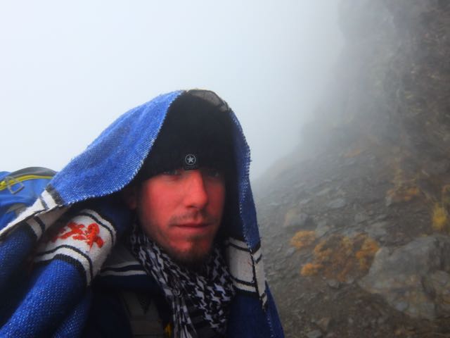
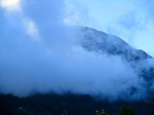
Next morning was cloudy.

But I’d already decided to skip Arco Iris. That’s a shame.
Summit Post:
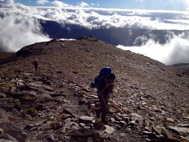
Arco Iris is probably the best “hike” in the valley. A relentless, steep hike involving fixed hand lines and good exposure takes you to treeline and a spectacular view point on the north side of the valley. From here, you can continue to scramble up to the summit and be rewarded with some of the best views you will probably ever see. Although this is certainly a serious scramble, trekkers comfortable with exposure and handlines should be able to make it. If big drop-offs scare you or you haven’t done any very steep trails requiring use of your hands extensively, then consider passing on this route.
I walked out. Very tired.
If this all appeals to you, go for it. But I’m not recommending this destination for hikers. 95% of the time you are tree locked. The 26kms return in muddy ruts is not worth the time when there are so many better hikes in Chile nearby.
Hopefully it will be made a National Park one day. Trails, access and navigation improved.