trip report by besthike editor Rick McCharles
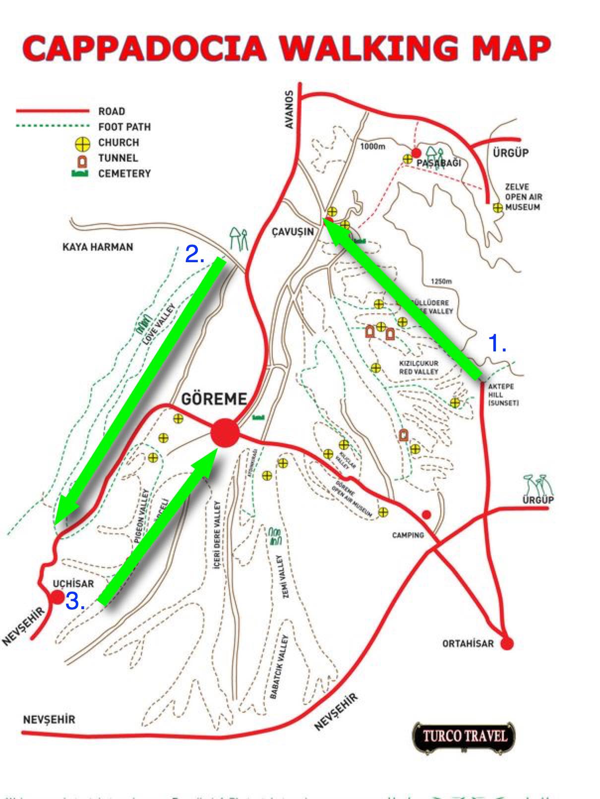
Panoramic viewpoint > Rose Valley > Çavuşin > Love Valley > Uchisar Castle > Pigeon Valley > Göreme
For hikers Göreme is probably the best base for Cappadocia. You can literally go off hiking in any direction. It’s got a good variety of restaurants and accommodation too.
On arrival in Göreme someone will hand you a FREE hiking map.

Most wander around with this thing … frequently getting lost. We could find no decent map nor guidebook in 2017.
For 6 days I hiked and cycled many of these trails, often lost, before finally deciding on what I felt was the best hike.
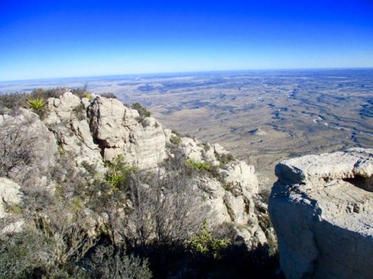
Ask the people at your accommodation in Göreme how to get to the Rose Valley Panoramic viewpoint. They’ll likely recommend a taxi and tell you the price. It’s about a 15 minute drive uphill from town.
There is a small entry fee for Panoramic viewpoint. The taxi may drop you outside the gates.
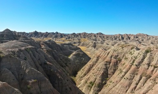
Here begins the Rose Valley trail. 5km to Caveusin. Most feel Rose is the best hike of all. And I’d agree.

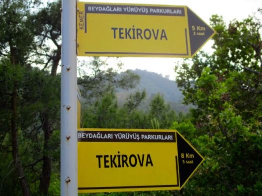
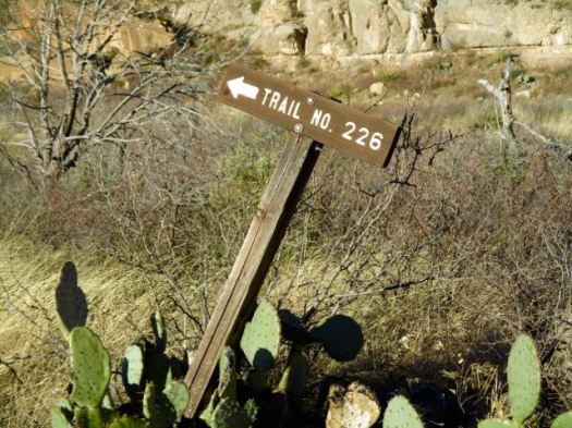
Note that most of the trail signage is in Turkish.
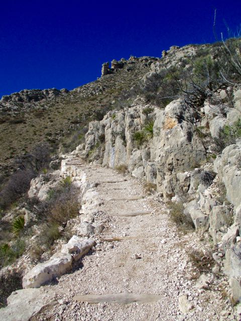
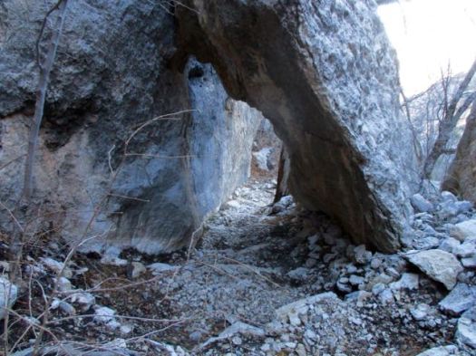
There are many twisting and turning trail options. All are good but the very bottom of the valley might be muddy.


Rose is popular with cyclists, too.

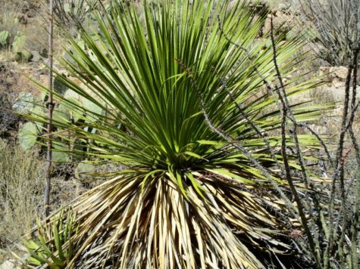
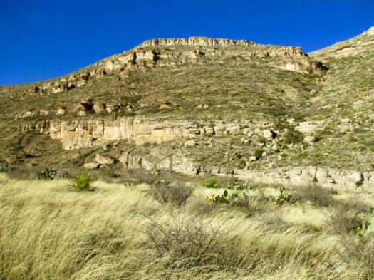
Gorgeous, surreal scenery.

End of the trail is the village of Çavuşin.

If you haven’t yet seen enough Church caves — you might want to visit the World Heritage site Caveusin Kilisesi.

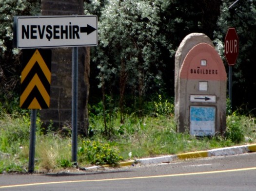
From Çavuşin you need to get to the Love Valley trailhead. Ask in town. It’s about 1km up the highway towards Goreme. (There are shortcuts.)
If walking the highway here’s the turn-off. These pink signs are the best of the admittedly poor and confusing trail signage in the area.
From there you can’t miss it.
Love Valley is the second best trail in my opinion.
Why they call it Love Valley I can’t imagine. 🙂

You can see here how those columns erode away from the valley wall.


It’s about 4km uphill to the end of the Love trail. If not lost you’ll finish at this tourist trap.

Bus tours stop and parade their unwilling passengers through the souvenirs.
Cross the highway and make your way up to the top of impressive Uchisar Castle. There’s a small entry fee.

Exiting on your way down ask for the Pigeon Valley trailhead. Look for these pigeons. It’s not difficult to find.

Some have reported seeing no pigeons in Pigeon Valley. We saw plenty.

Historically farmers built roosts for pigeons in the valley wall in order to later collect their guano.
It’s downhill to Göreme. A nice but often crowded walk.


Looking back to the Castle.

You might spend 4-6 hours including stops on this best hike.
Panoramic viewpoint > Rose Valley > Çavuşin > Love Valley > Uchisar Castle > Pigeon Valley > Göreme
___
A shorter alternative would be to loop Pigeon to Love Valley. It’s a 2km walk up the highway back to Göreme, however.
We really need someone to put together a decent map of trails out of Goreme. Hundreds of thousands visit every year and almost all do some hiking.
related – Hike Bike Travel – 21 Photos That Will Make You Want To Hike In Turkey’s Rose Valley
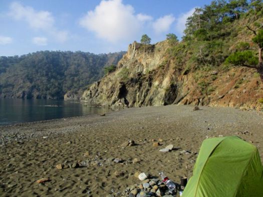


 I checked out the campsites. Too exposed. It was very, very windy.