Namibia camping – Brandburg – day 1

My hosts in Swakopmund, Namibia run  Ondjamba Safaris.

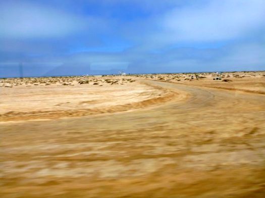
For the independence day long weekend, we loaded kids into one of their desert vehicles and headed north into the desert.

P1280379

P1280386

P1280388

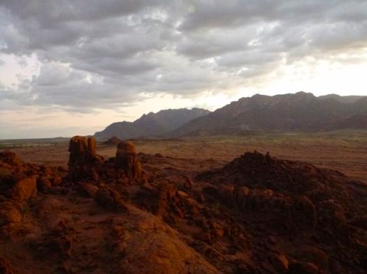
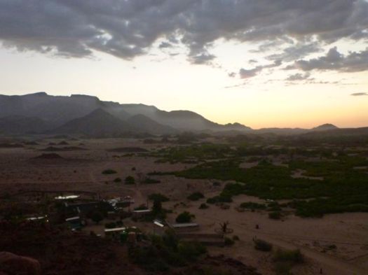
Our destination was Brandburg (Fire Mountain), Namibia’s highest massif at 2573m.

P1280392

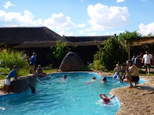
The temperature was about 40C when we arrived White Lady Lodge.

P1280395

I love the Namibian campsites, sprawling under shade trees.

P1280403

P1280399

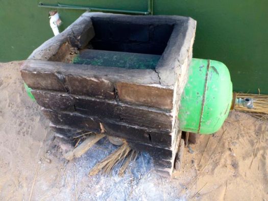
This technology was a first for me — showers are heated by wood fire. Campground employees light up the showers every morning.

P1280400

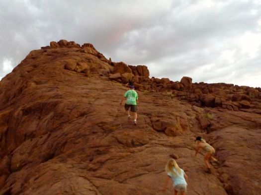
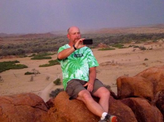
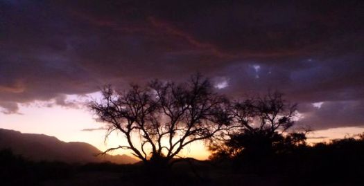
Just before sunset we headed off to climb a mound of boulders.

P1280422

P1280430

P1280438

P1280434

P1280426

P1280424

The real attraction of Namibian camping is the Brai — a magnificent barbecue.

P1280439

P1280412

I slumped into my tent early. Too much wine.

see ALL my photos from this long weekend trip

Community Inca Trail Trek

guest post by Helene Cooper:

Last month I embarked on one of the most amazing experiences of my life, Peru’s Inca Trail. I took part in a five day “Community Trek”, which goes a little more off the beaten track, combining an exhilarating trek along the Peruvian Andes, with an opportunity to camp with local villagers and help with farming and community work.

En-route I enjoyed some of the most beautiful mountainous terrain I’ve ever seen, stopping at amazing ancient ruins and pushing my body to new extremes. The Community Trek gives you the opportunity to give something back to the local people, with a proportion of your fees helping with their schooling and farming activities. While you see less of the ruins than on the Classic Trek, you still see the best, while enjoying a completely different experience, too.

The trek was amazingly hard work, with high altitudes making the long hikes exhausting at times, but with the end reward of Machu Picchu just hours away, it was well worth it. The trails are less preserved than on the Classic Trek, which makes it harder work, but what’s life without a little challenge? The opportunity to spend time in local communities gave the trip an added attraction; I really recommend you try it.

Day 0:

We begin our five-day journey with a pre-trek meeting with our guides from Andina Travel. Everyone takes the opportunity to ask any questions and psyche themselves up for the next four days of walking. We’re told to prepare for the high altitudes, which can reach up to 13,900ft.

Day 1:

We’re picked up early by a minibus; it’s a beautiful clear day and the mountains are simply awe-inspiring – I can’t wait to crack on with the trek.

First stop is Saksaywaman, an incredible old ancient fortress overlooking Cusco; giant boulders are stacked as if they fell from the sky – it’s a great photo opportunity! Our guide tells us this was once a historic, religious and ceremonial place, which you certainly get a feel for.

Next we move to the Sacred Valley, a huge gorge between two steep mountains and home to hundreds of maize fields and numerous tributaries, what an amazing sight!

We trek on to the Pisac ruins and its fantastic terraces and walkways, where we get to put our feet up and give our lungs a rest. We purchase walking sticks, coca leaves and colourful plastic ponchos, the last supplies for our mammoth trek.

After lunch it’s time to start walking! We tentatively start climbing our way up the hills and slowly the scenery starts to change. The higher we climb the colder it gets, and the air starts to thin out, which is a strange feeling.

Our tents are already set up when we arrive to our first camp in the amazing Andes. We’re greeted by hot popcorn and cold drinks in the kitchen tent – very civilised! A pack of cards come out and we play and talk about today’s sights until dinner is served.

I’m starving and it was a pleasure to be served a delicious three course meal including ‘Cuy’, roasted Guinea Pig on a spit, which is really succulent and tasty, followed by a hot cup of Peruvian tea to warm us up, as its now getting pretty cold – I put socks on my hands to keep warm.

Day 2:

The morning starts with a soft knock on our tent and the voice of our guide calling: “coca tea!”

We poke our sleepy heads out to find mugs of steaming tea and a hot basin of washing water waiting for us. What luxury! The coca tea is a greenish yellow colour and has a mild bitter flavour, similar to green tea, but gives you a wake-up kick like a good cup of coffee.

Our cooks continue to spoil us with a breakfast of porridge, toast and eggs, which feels like a real treat. We pick up our snack bags, which include some local fruit and biscuits, and set off for a full day’s walking. Small steps and deep breaths is definitely the recipe for success.

En-route we meet some little old ladies running up the mountain paths without shoes, carrying heavy loads on their backs. Kids hike their way to school down the valley and we all feel a bit sheepish in our Gore-Tex hiking gear.

I feel a real respect for the people living in these harsh conditions, it’s bitterly cold and arid in places, but absolutely stunning nonetheless. We advance towards the highest point of the trek, which is surrounded by clouds and looks incredible.

The air is so thin it’s really hard to fill your lungs with oxygen and my body is getting really tired. As we reach the summit we reward ourselves with a shot of Pisco, which is quite the livener; each of us pouring a drop on the ground as a sacrifice to Pachamama (Mother Earth).

Finally we venture downhill and race towards our lunch stop. The porters and cooks overtook us a long time ago and have served up some delicious hot food, including local rice and beans.

Day 3:

More trekking, I can feel myself getting fitter as we progress, but it’s still a strain on the limbs. There are herds of alpacas and llamas on the mountain sides, which I feed with some of my biscuits; the llama is like a cross between a camel and a sheep and laps up my snacks.

We conquer another high pass and stop for a few photos of the stunning green mountain lakes on show, which shimmer in the sunlight, it’s great to be alive!

We cruise downhill for lunch at our second campsite. I have an afternoon nap while some of the guys play football. At night the stars are shining and we admire the silent stillness of the Andes; it feels like we’re the only ones in the world that are enjoying this moment.

Day 4:

We visit a local school where we work with the local children, helping with break activities, singing and poetry lessons, it’s really good fun. None of the children can speak English but they enjoy learning some useful phrases, like llama and Guinea pig!

We get Quechua lessons, the local dialect, from a teacher, who teaches me “sulpayki wayki” (thank you friend)! We then move on to a local farm and help them with planting and weeding and I buy a nice colourful hat from a local weaver.

Our last day of trekking is short and fortunately it’s all downhill, unsurprisingly nobody complains! We’re sad to say goodbye to our team of porters and cooks as we hop on a bus to Ollantaytambo.

On arrival at our lodge in Ollantaytambo we have glorious hot showers and a short rest before a guided tour of the Ollantaytambo ruins, the royal estate of Emperor Pachacuti. The town is home to a large settlement, so we have dinner in a local restaurant which serves some delicious soups and stews with ‘pan de papa’, a bread made with mashed potatoes.

No sooner have we finished eating we are eager to get back to the lodge to try out those lovely looking beds, which do their job very well indeed.

Day 5:

Today we embark on the final part of our journey, towards the epic Machu Picchu; I am so excited! We have an early breakfast and jump on the train to Aguas Calientes, which has some really picturesque views on route. Unfortunately we don’t arrive at Machu Picchu until late morning, so miss the sunrise, but we still arrive earlier than the masses of tourists, which I’m pleased about.

We take a shuttle bus to Machu Picchu, which suddenly appears on the horizon, lying on a steep sunlit mountain side. We meet up with the other trekkers, who took the more traditional, “Classic” Inca Trail route; they are yet to shower and are pretty envious of our fresh smells!

We have a couple of hours of free time to look around the Machu Picchu complex, so we hike up to the Sun Gate, which offers an amazing view on what is a beautifully clear day; the others take the opportunity to have a closer look around the city’s ruins.
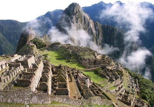
Machu Picchu

Soon it’s time to head back; we board the bus and train to Ollantaytambo and our transfer takes us to back to Cusco, where we tell stories about our experiences of the last five days.

We all have aching muscles, blisters and the odd tummy ache, but the amazing scenery and ancient ruins were well worth it. I can’t recommend the Inca Trail highly enough.

Helene Cooper currently writes for Dragoman, the overland adventure operator

related – our Best Hikes South America list

West Coast Trail day 0
wctmaTrip report by site editor Rick McCharles.

day 0 | day 1 | day 2 | day 3 | day 4 | day 5 | day 6 | info page

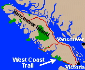
The West Coast Trail on Vancouver Island in Canada is our #1 hike in the World.

This was my 4th WCT. 🙂

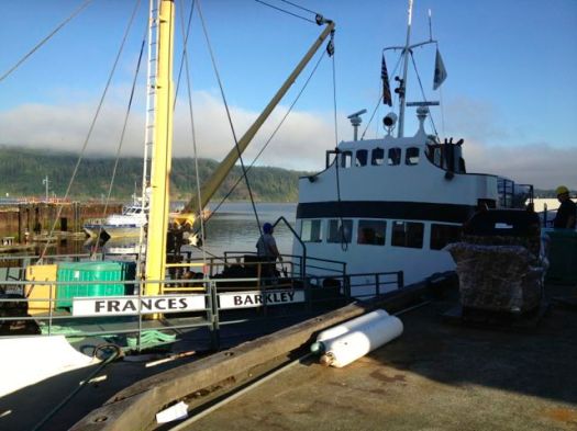
My Dad dropped me at the ferry in Port Alberni. Riding the Francis Barkley is my favourite way to start the WCT.

IMG_1319

P1210737

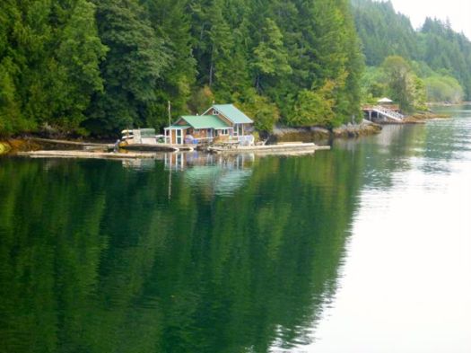
The weather was perfect as it had been for most of the summer of 2013.

P1210758

arriving Bamfield
arriving Bamfield

Scheduled to rendezvous with the rest of my group next day, I could have taken a trail shuttle out toPachena Bay Campground at the trailhead.

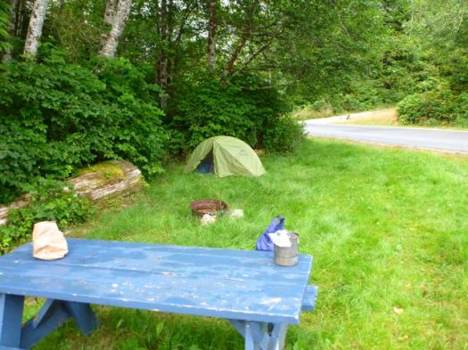
Instead, I stayed at small Centennial Park Campground ($23) in Bamfield.

P1210788

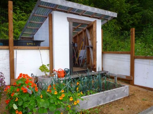
Having no place to store my food overnight, I ended up leaving it in this shed. Storage for a communal fenced garden.

P1210787

My new lighter failed. They truly are an unreliable technology. 😦

It was nice to have a final few hours with phone / free internet access (Bamfield Community School Library). And there were OTHER good reasons to spend my last night in Bamfield. 🙂

P1210786

P1210789

I enjoyed both meals at Tides and Trails Restaurant.

more photos from this day

day 0 | day 1 | day 2 | day 3 | day 4 | day 5 | day 6 | info page

North Cascades Copper Ridge Chilliwack River loop

Washington State

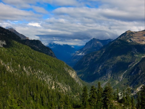
… the sight of Mt. Shuksan‘s tumultuous, glaciated north face will have you groping for adjectives to replace “awwwe-some” or “un-bee-lievable.” Even from a distance you have to crane your neck to take in all of the massive peak.

This remote, unroaded section of North Cascades National Park brims with private pleasures for anyone willing to strap on a pack and exert themselves: thick forests, wildflower-filled avalanche chutes, alpine tarns, and streams that look like milk, thanks to the glacial runoff. …

Backpacker

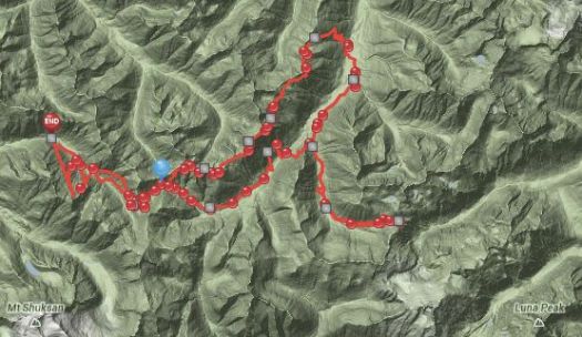
Ilya posted a trip report starting Sept 1, 2013.

click to see photo map

trail

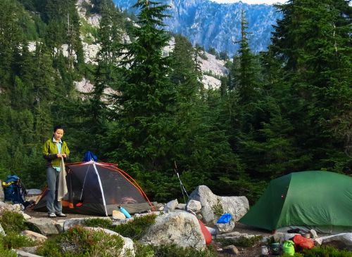
tents

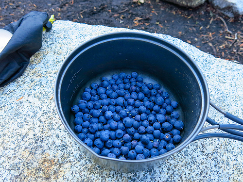
berries

valley

See more on flickr.

Envirofit clean-burning cook stove

Kraig Becker promotes the Himalayan Stove Project.

Check this article to see what they are doing to make the world a better place:

The problems the Project are addressing and solving are obvious. Inefficient cookstoves in the fragile high Himalayan environment (and elsewhere) cause

1.) indoor air pollution and related health issues due to smoke inhalation,

2.) personal safety hazards to families and their children,

3.) deforestation,

4.) climate change and

5.) economic and other social issues.

The Himalayan Stove Project is a U.S. public charity staffed totally by volunteers who pay all their own expenses, including travel to Nepal. In addition, a growing community of institutions, corporations and individuals supports its very pragmatic mission of making a difference now.

Indoor Air Pollution (IAP) is the planet’s 4th-largest public health threat after malaria, clean water and HIV-Aids.

Changing the World One Cookstove at a Time –

Click PLAY or watch one of the clearer technology stoves on YouTube.

best lunch vista in the Dolomites

by site editor Rick McCharles

1956 Winter Olympics host Cortina d’Ampezzo, Italy, is the jumping off mountain town for visitors arriving to enjoy a region of jagged mountain spires, far more striking than the Alps.

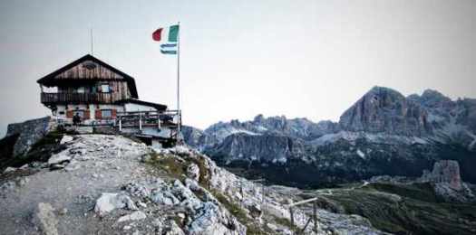
Sleep in Cortina, then catch an early bus to the trails. Of many great options, the best panorama for lunch just might be from the Nuvolau mountain hut (Refugio) built 1883, first in the Dolomites. It’s impossibly located on the very top of a 2600 meter (8530 foot) cliff.

Nuvolau

To get there you need the hiker’s shuttle bus to drop you at passo Falzarego on the SR 48. At least six different paths of varying difficulty get you to Nuvolau. Look first at Alpine Trail #439 via the Rifugio Cinque Torri (5 Towers). The Refugio offers 26 cramped beds. But with bus access this convenient, it’s best to day hike out of Cortina. (There have been many complaints from those sleeping at Nuvolau.)

Bring your own gourmet Italian food and drink from town. Or order from the hut menu. Nuvolau is only open during the hiking season, June 15 to September 30. August is busiest. That’s when Italians holiday.

The Dolomites are one of our top 10 hiking regions in the world.

The crazies at sram somehow got up there with their mountain bikes!

Nuvolau
_____

Related:

Do your shopping at Cooperativa di Cortina, founded 1893. But count your change. The ladies at the till were shortchanging foreign tourists last time we were there.

If you are flying in, book the direct Cortina Express bus from Venice’s main airport, Marco Polo.

Trip Advisor Cortina d’Ampezzo gives up-to-date recommendations for hotels in all price ranges. Cheapest is tenting.

North Coast Trail – day 7

Sept 2012 trip report by site editor Rick McCharles


» day 1 | day 2 | day 3 | day 4 | day 5 | day 6 | day 7 | ★ recommendations

San Josef to Port Hardy

What a shame. It’s over. 😦

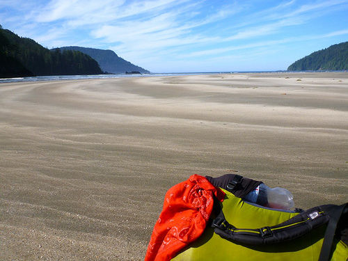
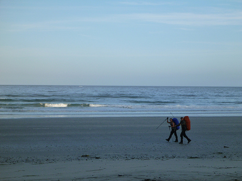
Perfect weather on the beach … yet I had to be at the trailhead by 1pm to catch my (prescheduled) Trail Shuttle out.

I tried to enjoy the final few hours, as best I could.

It was time to go.

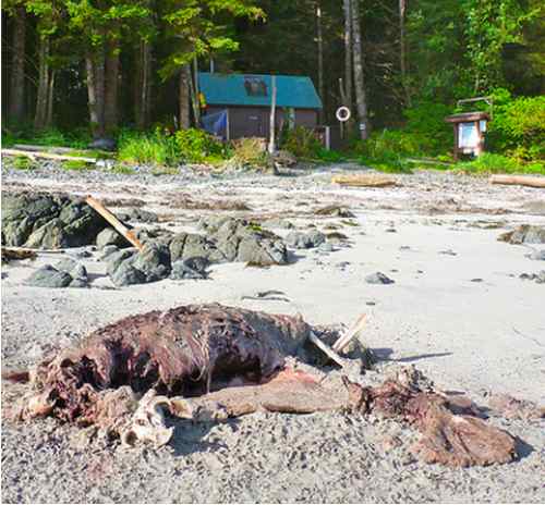
This had just been left ashore. Is it a Salmon Shark?

Given time, I would have hidden myself above and taken video of whatever scavenger arrived first.

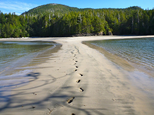
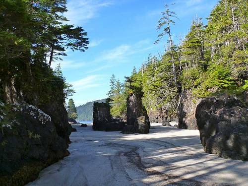
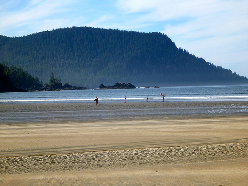
At exactly low tide, the sea stacks were dry. And very pretty.

Accessible by car, families with kids were day tripping to Josef.

I sent them running to see the “shark”. 🙂

I washed up in the estuary. And left the beach.

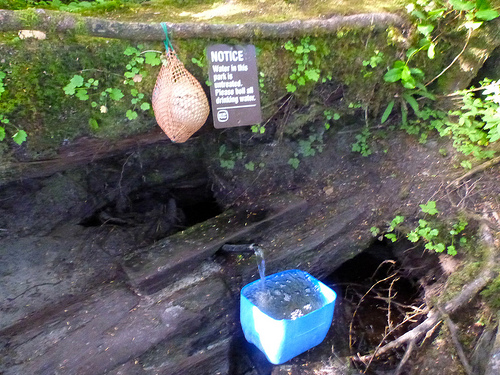
The signage is great on this adventure. No GPS or compass needed, really. But it would have saved time to have all water sources listed by GPS coordinates .

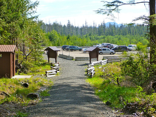
Cape Scott Trail parking lot.

Obviously, the girls had arrived before me.

We were somewhat stinky after 7days in the wilderness. The girls had swum in Eric Lake, however. Respect.

Unsurprisingly — for me — I found there was no water at the parking area. 😦

… It was another km walk to wash up in a creek. And change clothes.

Our Shuttle arrived, right on schedule. We were only 64km away from civilization!

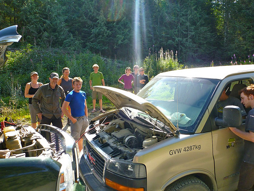
Doh! We broke down, half way.

Our rescuer was paid in Halibut!

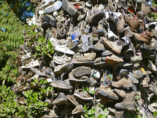
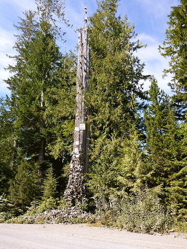
We did make time to visit the famous Shoe Tree.

One of the girls donated some sandals.

Elated to be finished, we chowed down in Port Hardy. I had Halibut & Chips and big waffle cone ice cream.

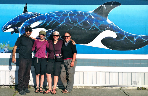
The girls and I said our farewells.

In bed at the hostel by 7:30pm. Somewhat sick in the stomach. (bad water?) Somewhat exhausted.

I won’t soon forget the North Coast Trail.

more photos


» day 1 | day 2 | day 3 | day 4 | day 5 | day 6 | day 7 | ★ recommendations

North Coast Trail – day 5

Sept 2012 trip report by site editor Rick McCharles


» day 1 | day 2 | day 3 | day 4 | day 5 | day 6 | day 7 | ★ recommendations

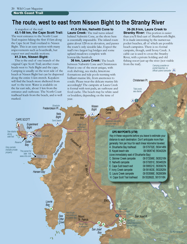
Nissen to Cape Scott Lighthouse

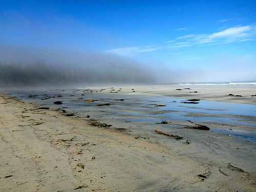
Mornings are often foggy on this coast. It burns off after a couple of hours on a sunny day.

Here’s a fog bank, for comparison, dissipating later in the day at Nel’s Bight.

Departing Nissen, you find that your North Coast Trail is now also the older (1973) Cape Scott Trail. In much better condition.

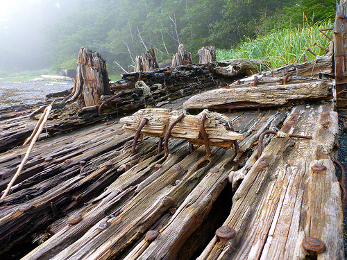
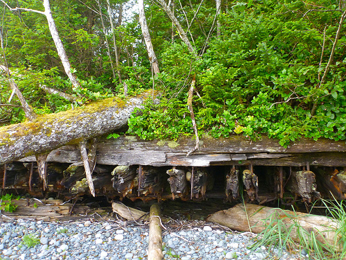
Very cool. Unique, so far as I’ve seen, is this broken up wooden ship hulk, sunk as a breakwater, slowly being overgrown by vegetation.

The Earth reclaiming. 🙂

From 1897 until 1910, Danish settlers tried to establish a fishing community near San Josef Bay. Due to the harsh climate and lack of governmental support, the community failed …

… another attempt was made at Hansen Lagoon, similarly failing by 1917. Alfred Spencer, the last resident, left in 1956.

Some artifacts can still be seen in the park, including a three-metre-tall granite tombstone, several corduroy roads, many ruins (that look like anonymous mossy mounds), and rusty farming implements. …

Wikipedia – history of Cape Scott

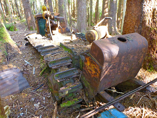
Of those relics, the most impressive to me is this crude tractor abandoned jammed between trees near Hansen Lagoon.

Nel’s Bight is gorgeous. My favourite stop. The most popular beach in the Park is reasonably easy to access from the parking lot. No need to hike the NCT to get here.

I set up my tent early in the day, for the first time. And walked the 2km long beach barefoot in bright sunshine.

I’d pushed to get here early to have time to side trip to the Cape Scott lighthouse. (minimum 13.6km)

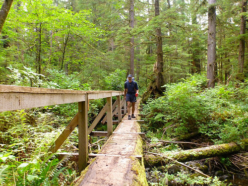
It’s a pretty, varied and well maintained trail. I love log bridges made of materials available on site, this style in particular.

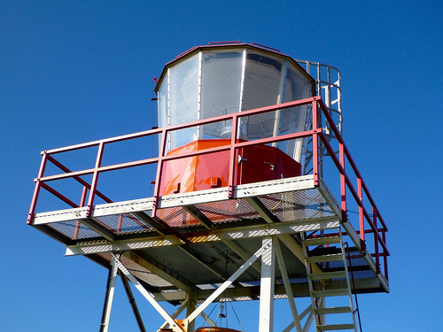
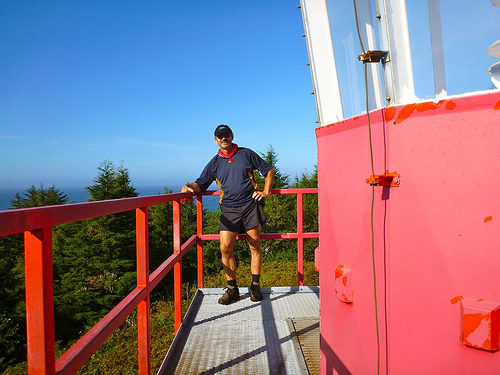
Some find the manned light house a bit of a let down. It’s immaculate, however.

The weather was marvelous. With views over to the island north of the north tip of Vancouver Island.

The letdown is the location of the light station, far from shore atop a hill. Somehow it’s not as exciting as those on the West Coast Trail.

Locals love grass fringed Guise Bay en route.

And unique Dune Neck to Experiment Bight.

Natives formerly dragged their boats across this sandy stretch rather than risk the circumnavigation of Cape Scott in dangerous seas.

FEAR the WOLVES

By the time I got back to the tent, it was late. I was tired.

My food, as always, was carefully locked away in the campsite cache.

🙂 Fortunately, I’d found stove fuel left behind by departing hikers.

😦 Unfortunately …, there was a pack of wolves close to the water source at Nel’s beach.

Why?

They were feasting dawn and dusk on a sea lion carcass dead directly in front of the Ranger’s cabin. Here a photo I took the next day.

The water — however — was close to the Ranger’s cabin, as well.

So wolves, be damned. I marched directly to get water. The beasts dissolved into the trees.

It was quite dark by the time I finished dinner. Instead of cleaning the pot, I used an old trick — filling it with sand and sea water. That prevents critters from coming to visit during the night.

But the tide was low. I had a long walk barefoot to reach the surf.

When I turned around, there was the alpha wolf, about 25ft away. They’d trapped me!

I SHOUTED. I raved. I waved (my pot).

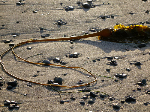
I grabbed KELP and snapped it like a WHIP.

The wolf mother finally realized I was some madman. And finally trotted off with her brood. … At least my THEORY is that this is a mother with young ones. Some speculated the leader is the Alpha Male with 3 or 4 followers.

Here’s a wolf, perhaps the same wolf, on the same beach Aug 10th, 2012, a month before I was there.

Click PLAY or watch it on YouTube.

It was much, much later before I realized she was only coming out to see where I dumped leftovers in the sea.

Wolves almost NEVER attack humans. The are among the least threatening beasts anywhere for their size and strength.

The Vancouver Island Wolf is a subspecies of grey. They will attack dogs and, indeed, there were at least two dog encounters this season in the Park. Don’t bring your dog here.

Their main prey on this Island are Columbian black-tailed deer and Roosevelt elk. While I was on the Trail, one hiker captured video of a wolf chasing a deer through the surf.

more photos

P.S.
I’m adding a line to my résumé:

Once pursued by wolves.


» day 1 | day 2 | day 3 | day 4 | day 5 | day 6 | day 7 | ★ recommendations

North Coast Trail – day 4

Sept 2012 trip report by site editor Rick McCharles


» day 1 | day 2 | day 3 | day 4 | day 5 | day 6 | day 7 | ★ recommendations

Shuttleworth to Nissen Bight

My German friends were first out of Camp. Again.

Often I’m slow to depart, hoping trying to dry my gear before packing up.

A pretty morning.

I crossed the Strandby River cable car with the girls.

Many have painful feet by this point in the adventure. Mine were still OK, lucky since I only wore low cut approach shoes without gaiters.

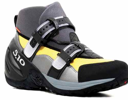
With all this mud, next time on the NCT I’d wear Water Walking Shoes. Like these Five Ten Canyoneers.

Those worked well for me in Paria Canyon, Virgin Narrows and the West Coast Trail.

Downside?

Risk of puncturing them on a sharp branch or rock.

But aside from the rocks, most everything in this climate is soft, rotting, rounded or blunted.

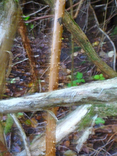
I found only one thorny plant in a week.

Not much flora can harm you on this trek. There is some Cow Parsnip, which might cause skin irritation.

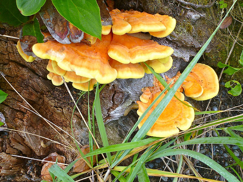
Unless you know what you’re doing, don’t eat any of the amazing lichen or mushrooms.

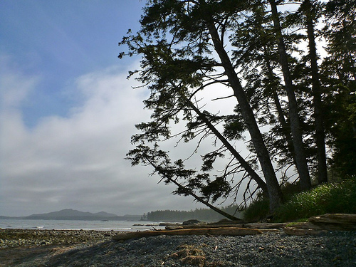
The walking gets easier and easier as you go West, as promised. You enjoy more coastal sections, less in the trees.

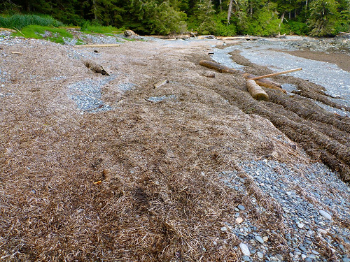
This was my favourite surface — dried sea weed.

You end up walking many beached logs. As a former gymnast, the balance required doesn’t intimidate. 🙂

I wish they could reroute more muddy sections over fallen logs.

Hard packed sand makes for excellent footing, too. You test each beach to find the best sand.

Personally, I try to stay on the coast, even if the walking’s more difficult. On this section I happened upon some nice tidal pools.

Though the North Coast Trail is more difficult, for some reason I fall more on the West Coast Trail.

WCT (3 times) = average 1 fall to the ground / day
NCT (1 time) = fell only twice over 7 days

… perhaps the sample size is too small. 🙂

Best advice — when you fall, pull in limbs, try to land on your pack. You want the pack to take as much of the impact as possible.

The Germans and I decided to skip Laura Creek. And go all the way to Nissen Bight.

For me that was 9hrs on foot. A long day.

At Nissen the water source is at one end of the beach, 900m away from the pit toilet. … Who’s stupid idea was that?

After traipsing back and forth, I ran out of stove fuel in any case … No hot dinner for me. Sheiss.

I really need to get one of the “twig” stoves.

more photos


» day 1 | day 2 | day 3 | day 4 | day 5 | day 6 | day 7 | ★ recommendations

North Coast Trail – day 2

Sept 2012 trip report by site editor Rick McCharles


» day 1 | day 2 | day 3 | day 4 | day 5 | day 6 | day 7 | ★ recommendations

Skinner Nahwitti Stretch to Cape Sutil

Skinner Creek – photo via Coast & Kayak

New day. More MUD.

It IS possible to hike along the beach from Skinner Creek to Nahwitti River at low tide. (Start a couple of hours before low tide, if you can.)

Another day. Another BEAR.

Stumbling out of the trees at this beach — there was a bear. Studiously ignoring me.

I quietly scrambled atop this rocky outcropping. No bear could get up there.

I read my book. And then left a Summit Stone in a crack on top. 🙂

Many feel the Nahwitti Stretch is even more difficult than day 1 Shushartie Overland, but I liked it much better. There’s plenty of variety. Plenty of entertainment.

For example, the Nahwitti River Cable Car.

Now that’s FUN. I did not see any sign of spawning salmon, however. Perhaps it’s too early in the season.

FUN too are the longest stairs on the Trail — “Long Leg Hill”.

Hikers praise aloud those who built these, let me tell you. 🙂

The West Coast Trail has ladders. The NCT stairs. Many.

And ropes. … Have I mentioned the ropes, as yet?

So far as I saw, there’s only one truly impassable headland on the official North Coast Trail — at km 43.2.

Late, I arrived at high tide, and was obliged to lie down for a nap.

At some point later the girls arrived, needing to wait as well. They were more than mildly surprised when I popped up out-of-nowhere from my sleep.

As we found out the following day, the girls never actually made it to Sutil that night. Due to knee pain and failing light, they decided to wild camp in one of the pocket coves just short of Sutil, having to “hang” their food from bears, wolves and (perhaps) hyenas. 🙂

If the ladies had known in advance they were too late to get through, they could have stopped at Nahwitti River campsite.

The tent platforms on the NCT are fantastic. If it’s raining, you definitely try to set-up on these.

On arriving at the beautiful big beach at Sutil, I was astonished to find 3 kayaks and 4 kayakers, just dropped by the water taxi, starting a 2wk adventure. (I wished I’d come in with them to start hiking here.)

It was a birthday party. I felt obliged to finish off the leftovers from their heavy dinner. And to drink their heavy wine. And warm myself at their friendly fire.

As dusk fell we sipped wine, … and wondered whatever happened to the girls.

No search party was launched.

more photos


» day 1 | day 2 | day 3 | day 4 | day 5 | day 6 | day 7 | ★ recommendations