See the rest. 🙂


Best hikes, treks, tramps in the world.
See the rest. 🙂
Yeesh. North Face ultra-runners Mike Foote and Mike Wolfe.
Stingy Nomads:
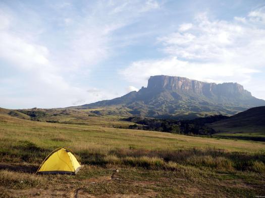
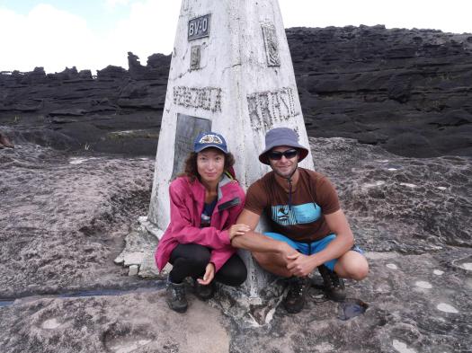
Mount Roraima is the highest of the many Table Mountains (tepuis) scattered over the grasslands of The Grand Sabana. The strange rock formations, quarts fields that look like a diamond encrusted fairy land, insect eating plants and many high waterfalls gives the whole area unreal feel and have been an inspiration to writers and movie makers. It is thought to have inspired Arthur Cone Doyle’s book ‘The Lost World’, published in 1912 …
Tours are normally 6 to 8 days, taking three days to reach the top, then one to three days exploring the top and it takes two more days to come down the same trail. You cannot hike this route independent since a guide is compulsory. There are many companies in Santa Elena that offers all-inclusive tours; you can also try to find an independent guide to lead your trek. …
Cycle hiking the Islands – trip report by site editor Rick McCharles
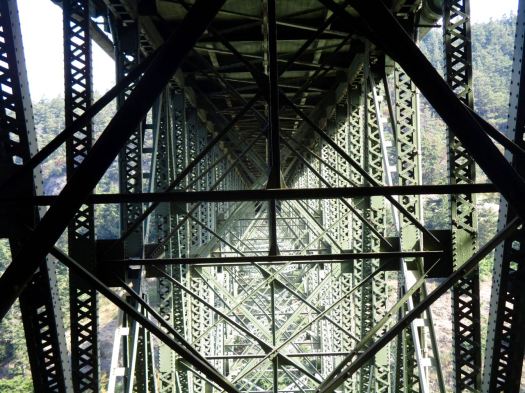
I crossed the amazing bridge between Whidbey and Hidalgo worried about my front tire.
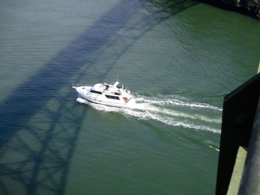
After the third time pumping more air I inquired at a general store as to the nearest cycle shop. A gentleman there offered to drive me the 8 miles to Skagit Cycle in Anacortes.

I don’t trust myself to fix a tire correctly. 😦
Waiting on the next ferry, I cycled up to the Little Cranberry Lake area.

Nice, but from the little I saw, NOT impressed with Anacortes. Too big. Too much traffic. Not much to write home about. But there is a Jack in the Box. 🙂
During the summer it’s a busy ferry over to Orcas.
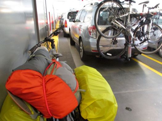
Hydration is important. 🙂

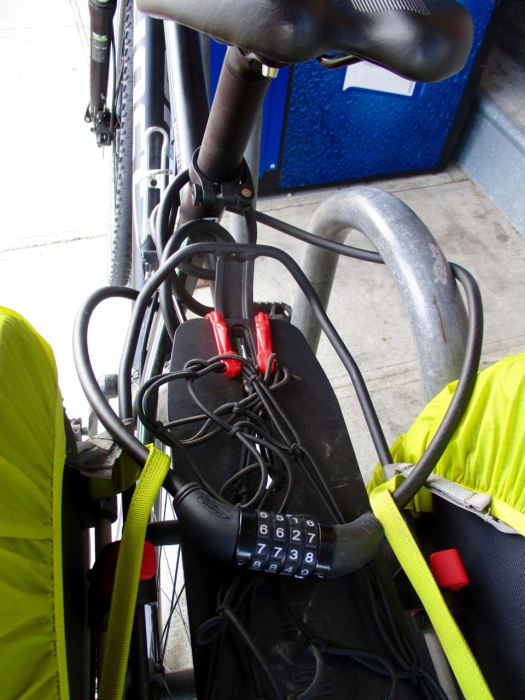
As is keeping your paniers locked to your bike.
I’d been looking forward to Orcas and – as it turned out – it was my favourite island, so far.

I cycled directly to Eastsound. That’s the main town.
I checked the hostel. It cost US$50 for a dorm bed. I don’t think I’ve ever paid more than $30.
So I cycled on to Moran State Park. Wild camped near the campground.

Stinging nettle was my only gripe. There are a few mosquitoes too.
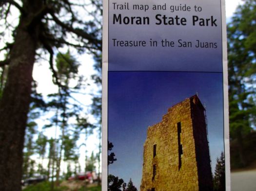
Moran encompasses over 5,000 acres of various terrain including forests, wetlands, bogs, hills, and lakes. It is the largest public recreation area in the San Juan Islands and the fourth largest state park in the state. …
The park offers 38 miles of hiking trails …
If you go to Orcas for hiking, be sure to find a copy of the free brochure.
Next morning I climbed out of the tent and walked directly on to the Twin Lakes trail via Mountain Lake.


A crew was doing trail construction at Twin Lakes. I had lunch and watched them. Good work.
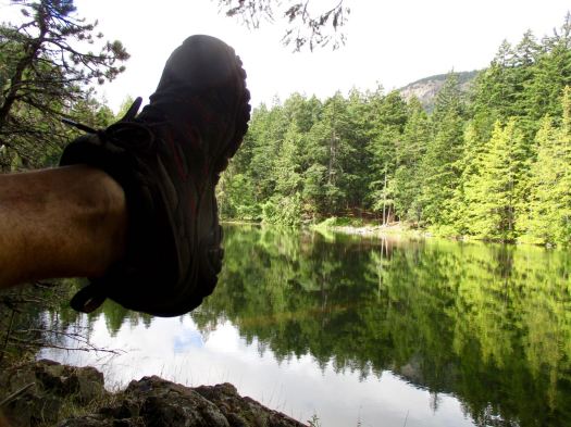
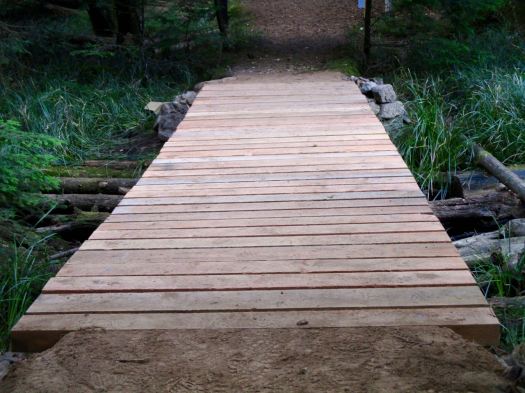
Returning via a series of cascades, I resolved to return one day to bike these trails. After Sept 15th they are all open to mountain bikes.
Back to the tent to relax. Then on to my next adventure. Cycling to the summit of Mt Constitution.
… the highest point in the San Juan Islands. A stone observation tower patterned after a medieval watch tower stands at the summit. …

I resolved to only go as high as I could make it without getting off the saddle. It’s 5 miles at an average 8 degree slope. Turned out I made it to the top. 🙂 Beautiful vista.
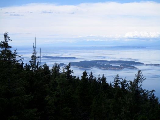
After a steep and fast ride back down the 5 miles I headed on to lovely Doe Bay resort.

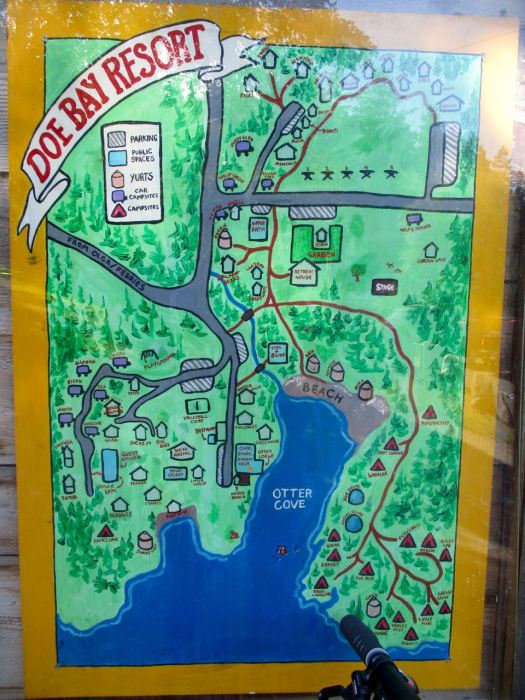


I could definitely stay here for a few days. 🙂
But I wanted to stay near Eastsound that evening. I ended up wild camping in an excellent city park called Crescent Beach Preserve. It was close to a superb coffee shop – Enzo’s.
I rode next to Westsound. En route I hiked Turtleback Mountain.
I started at the north trailhead and hiked up to Waldron overlook. The trail is better for mountain biking than hiking, I’d say.
On the return I stopped at North Valley Overlook, a tranquil, rural scene.


And finally all the way to Deer Harbor.
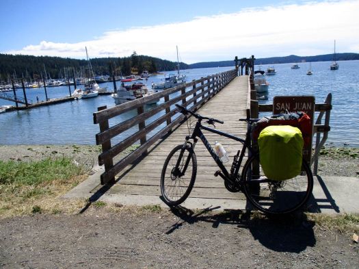
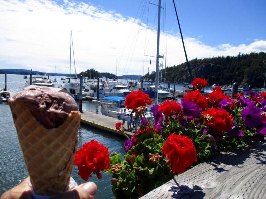
Time to celebrate.
Ilha Grande … remains largely undeveloped. …
The island, which is 193 km2 (75 sq mi) in area, is now a popular tourist destination that is noted for its scenic beauty, unspoilt tropical beaches, luxuriant vegetation and rugged landscape. The highest point is the 1,031 m (3,383 ft) Pico da Pedra D’Água. …
Ilha Grande is one of the most pristine remnants of Brazil’s Atlantic rainforest making it one of the richest ecosystems in the world. …
Small-scale ecotourism is being encouraged on the island. Although it has no roads and motorised vehicles banned, the island has more than 150 km (93 mi) of hiking trails …

Stingy Nomads circumambulated the island in 5 days.

… In 5 days we saw: many marmoset and howler monkeys, squirrels, one armadillo, many lizards, owls, bats, parrots, vultures, different tropical birds, humming birds, many spiders with their huge webs all over the jungle and butterflies. On the official web page it says you can also see sloths, we weren’t that lucky, and they warn you about poison snakes, we were lucky enough not to see any. …

trip report by besthike editor Rick McCharles
day 0 | day 1 | day 2 | day 3 | not recommended
When you sleep under the net and stars, you wake at first light.
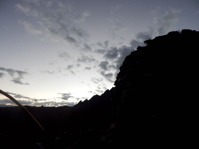
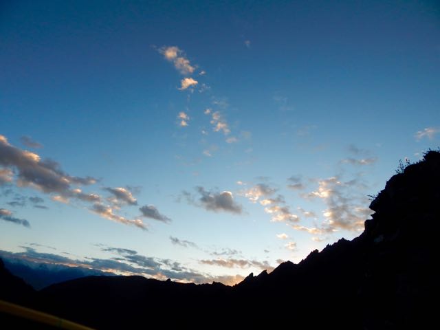
In no rush, I enjoyed 3 pots of coffee while waiting for the sun to reach my tent.
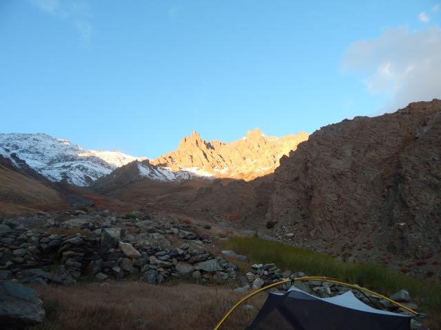
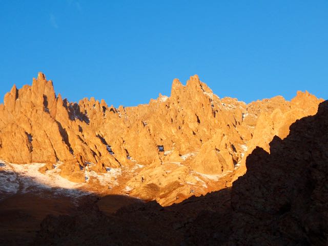
Time to GO.
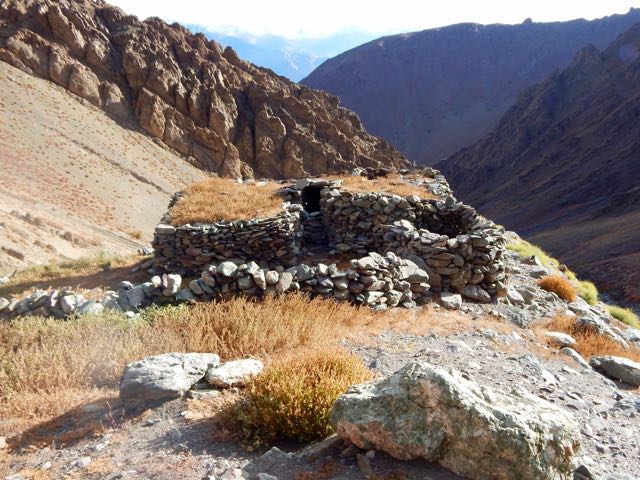
Up. Up. Up.
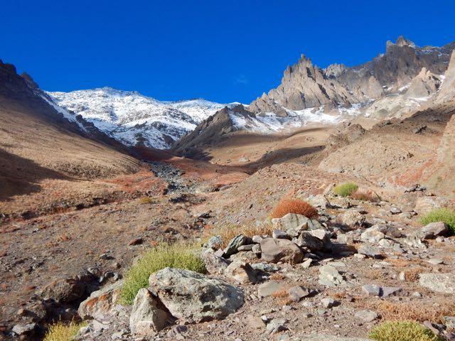
As I drew closer the crossing got increasingly more serious looking.
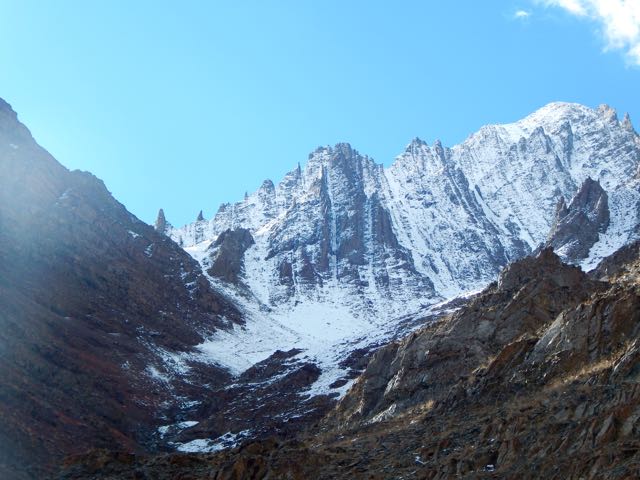
Entering this valley, the trail disappeared beneath the snow.
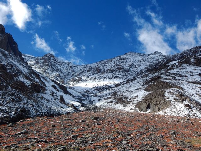
I was at the same altitude as the snow line on the other side of the Indus.
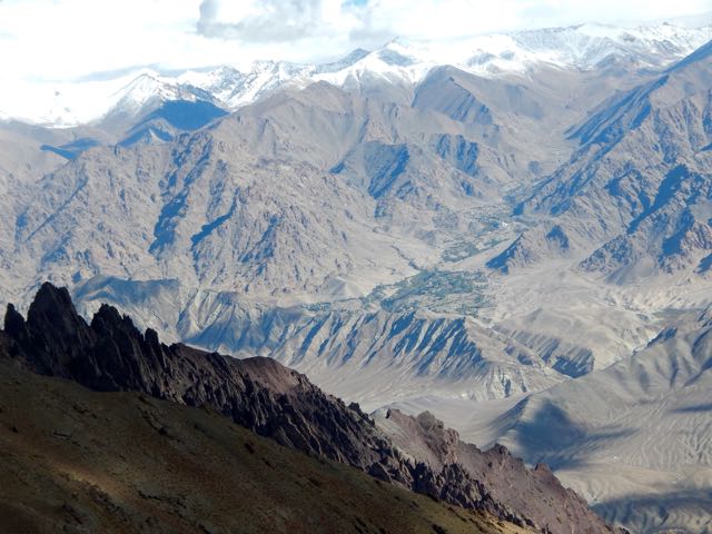
Luckily, the weather was perfect.
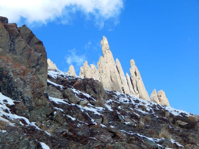
Which notch on the skyline is the pass?
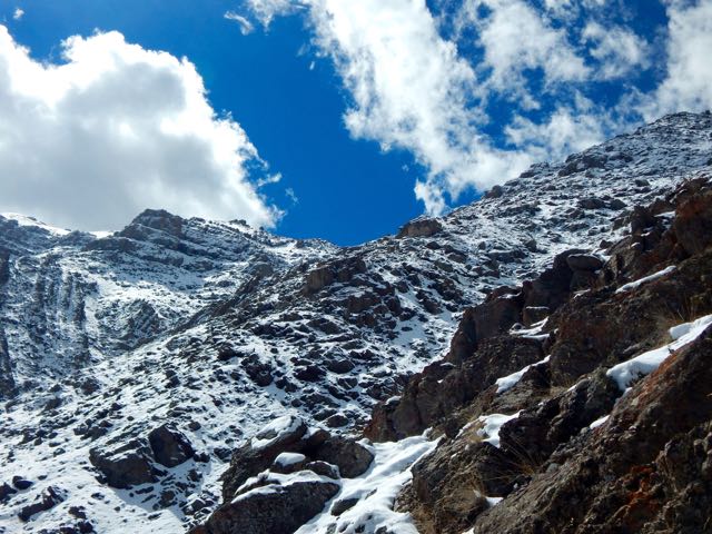
Normally I’d be able to find the route by following cairns.
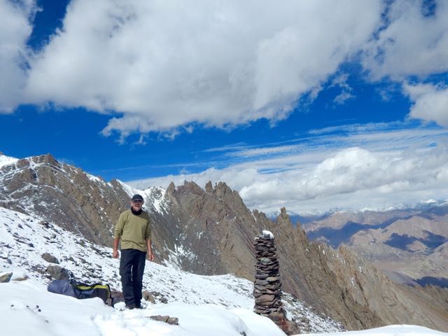
Sadly, there were very, very few cairns. Mostly I made up my own route. The new snow got thicker and thicker.
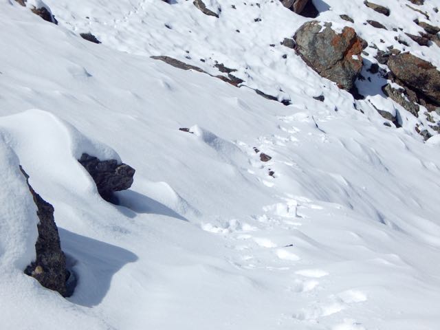
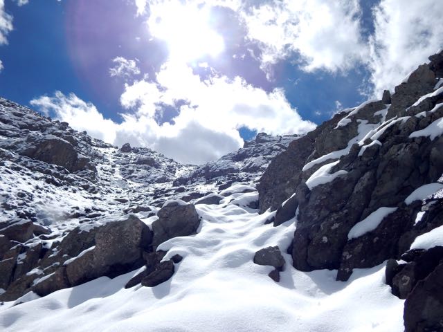
I was the second visitor here since the snow fell.
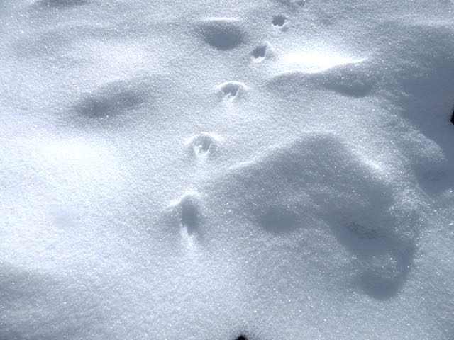
As the morning warmed-up, snow got softer. At the top there were sections of exposure.
The slope got steeper. Finally – pissed off – I dropped my pack and climbed up the slippery, frustrating slope without it.
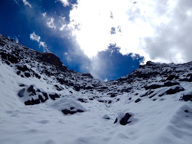
Happy. Happy. I finally saw the prayer flags of Stakspi La 5177m (16985ft).
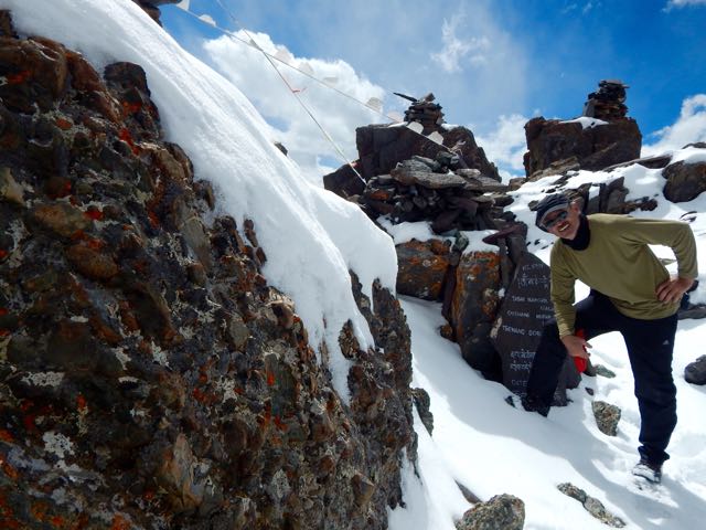
Thanks the Gods. The other side was an easy descent, in comparison. I’d feared it would be as snowy and slippery as the ascent side.
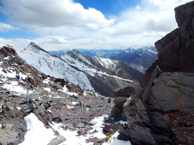
It was an 15 excited minutes down. 35 very motivated minutes back up with the pack. (The alternative – having to retreat on that soft snow could have been disastrous.)
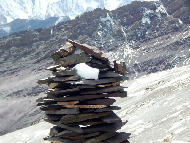
Even better, the downhill was a soft scree slope. Fun. And very easy on the knees and feet.

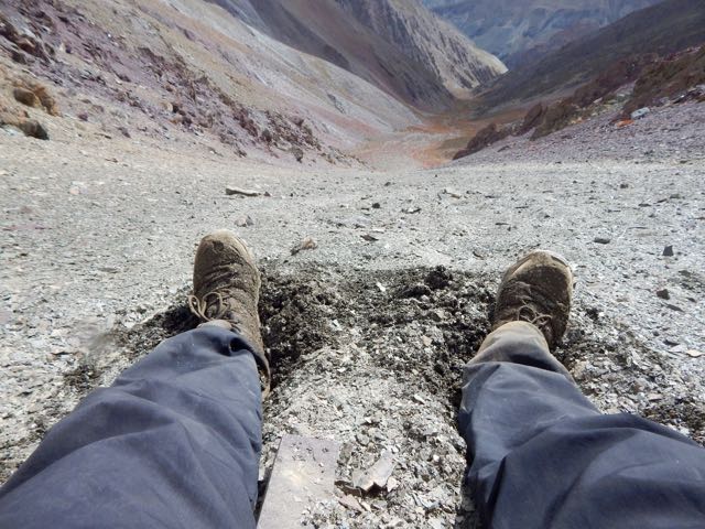
Very quickly I was at the valley bottom looking back at the Pass.
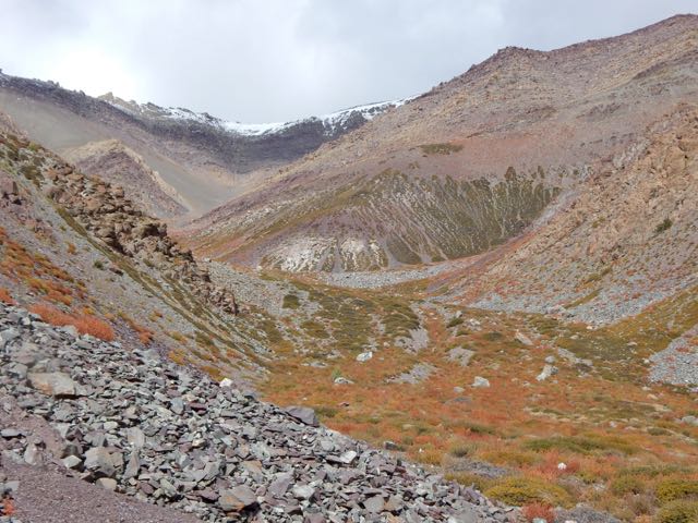
Already I’d concluded to NOT recommend this route on my hiking site. It’s far too dangerous. And it was obvious that very few people ever cross it.
I’d not taken the time to melt snow so had very little water left at this point.
I could see small springs up high on the slopes, but was watching closely for the start of water in the main valley. And for good camp spots. I was exhausted.
I spotted one possibility.
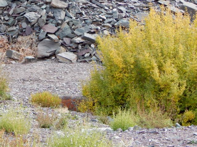
Then 2 snow leopards resting next door! There may be as few as 7000 left in the wild.
One took flight instantly. And was gone.
The other stayed. And stared me down. I franticly fired up my camera into video mode.
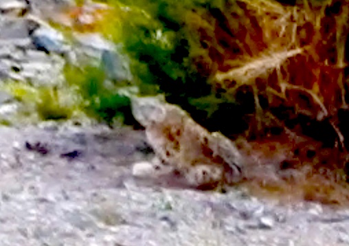
Eventually the second took off after the first, both disappearing into some scrub trees on the mountain slope.
Click PLAY or watch the video on YouTube.
I hung around for another 30 minutes, hoping to see them again. But I believe both stayed in the trees motionless. Watching me.
Needless to say, I didn’t camp there. I moved on down the valley.
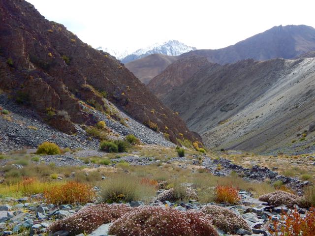
About 15 minutes later I found out why the snow leopards were so close to a human trail. They were on the hunt. This is their favourite prey – Blue Sheep.
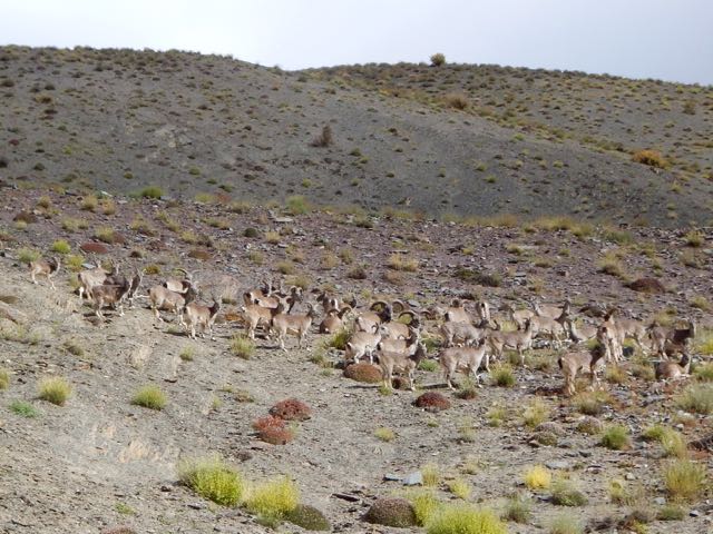
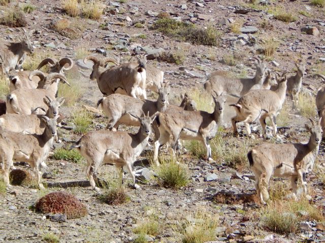
Why were these sheep so far from the protection of a rocky wall? I could only guess they’d come down for an evening drink of water.
Not much further down I found a protected, hidden spot by the finally running water. And crashed early.
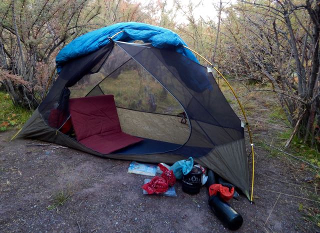
It had been a rough day.
But seeing snow leopards definitely made up for my suffering on the ascent. The Snow Leopard (1978) by Peter Matthiessen is one of my favourite books. In it George Schaller and Matthiessen search for Himalayan blue sheep and Snow Leopard. Schaller eventually spots a snow leopard, but Matthiessen does not.
See all the high resolution photos from this day.
day 0 | day 1 | day 2 | day 3 | not recommended
trip report by site editor Rick McCharles
day 1 | 2 | 3 | 4 | Sunshine Coast Trail information page
This was my toughest day. A steep scramble up to Confederation Hut on the same-named lake. Then a long descent down to Fiddlehead Landing Hut. And finally a steep slog up to the top of Tin Hat Mountain.

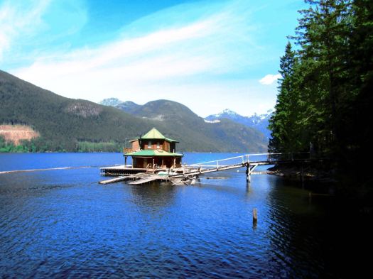
This is not Fiddlehead Landing Hut. Rather a floating holiday home next door.
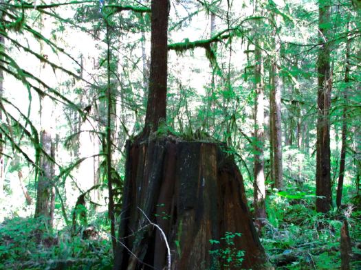
Hiking temperate rain forest can be lovely. Soft mulch underfoot. Plenty of variety. Nurse logs. Good visibility even in the trees.

I didn’t see much wildlife. Other than garter snakes.
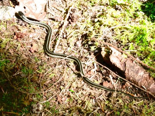
One snake was eating a banana slug. I’d believed NOTHING could eat a banana slug. 🙂
Lisa from Ontario had seen a bear near the start of SCT. But – in general – you don’t see much aside from birds.
… Fact is, I never made it to the top of the mountain. About an hour short of Tin Hat Hut I dropped my pack on the trail and set-up on the trail.
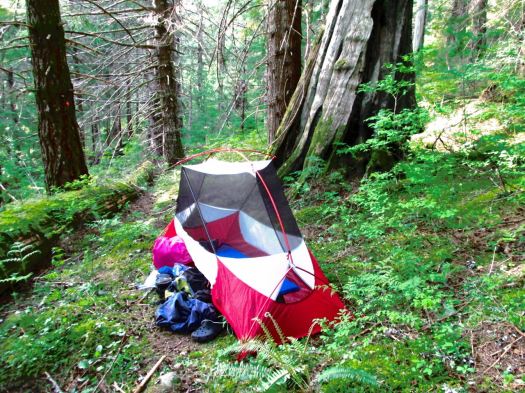
Could barely keep my eyes open. That was 7pm. I’d been almost all of 12 hours on my feet. Mostly climbing up or down.
day 1 | 2 | 3 | 4 | Sunshine Coast Trail information page
The Bigfoot Trail … begins in the Yolla Bolly-Middle Eel Wilderness and ends in Redwood National Park at the Pacific Ocean near Crescent City, California. …
Northwest California’s Klamath Mountains foster one of the most diverse temperate coniferous forests on Earth and this route is a celebration of that biodiversity. …
Due to the strenuous nature of the trail and the fact that some section have been un-maintained for many years it is not a trail that can be hiked quickly. Experience using map and compass as well as the ability to read the landscape are necessary for a successful thru-hike. The Bigfoot Trail was originally proposed by Michael Kauffmann in 2009 …
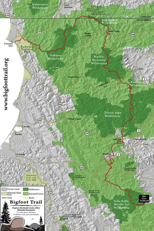
Get the map from the official website.
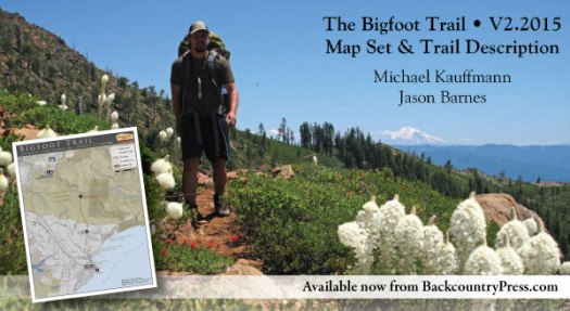
Sage Clegg hiked it in 2014.
Cam Honan:
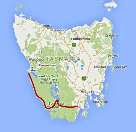
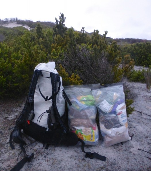
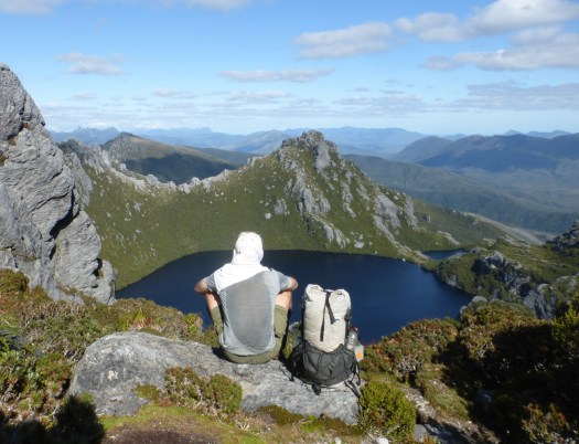
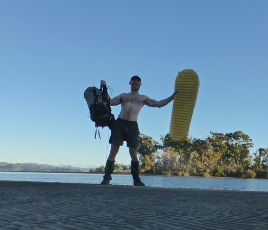
Between February 27 and March 22 of this year, I completed a traverse of the southwestern region of the state. One of the wildest, most pristine backcountry areas on the planet, it was a hike I had dreamed of doing for almost two decades. …
200 miles (322 km) approx. …
Time: 24 days
Daily Average: 8 miles (13 km) approx. This included one rest/resupply day. Hiking, scrambling, bushwhacking, climbing, paddling, crawling, swimming, rock hopping…………yep……..the terrain really was that challenging …
trip report by site editor Rick McCharles
4.4mi round trip
850ft elevation gain
North of Seattle.
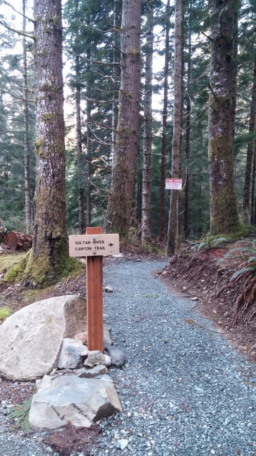
Opened in 2015, this new tail takes you deep into the Sultan River Canyon where towering old growth trees and steep slopes shade a remote section of the Sultan River. …
That was enough for me. I was first on the trail April 9th, early in the hiking season. I ran some of the flats and downhill … and walked uphill.
You can drive out as far as Culmback Dam.
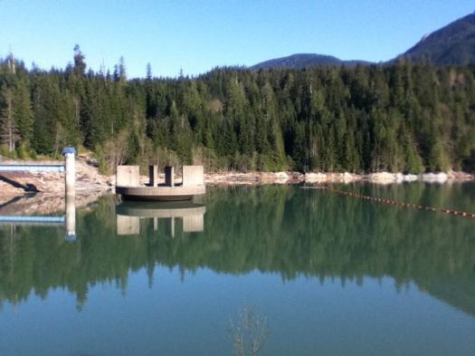
Spada Lake is the reservoir for Everett, WA.


From there it’s about 1mi walk on a good logging road before you drop steeply into the canyon.
The trail dead ends at the river. I relaxed on a rock in the river for a good 10 minutes.

Then began the climb back up while listening to an audio book for motivation. 🙂
Check the Evergreen Endurance trip report.

