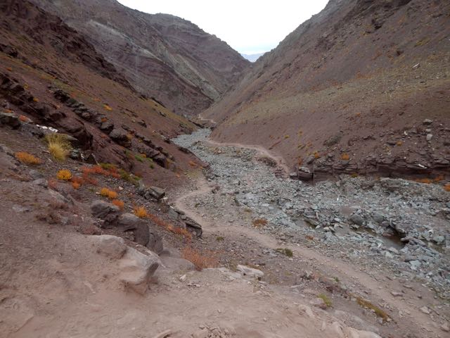
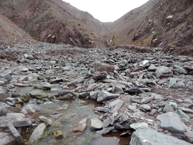
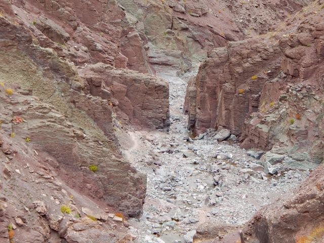
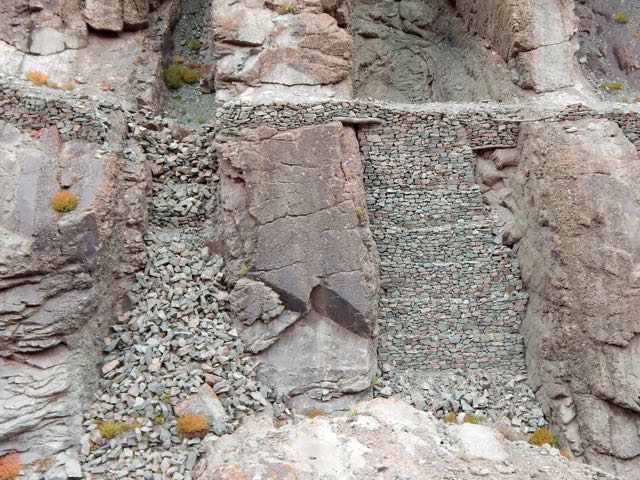
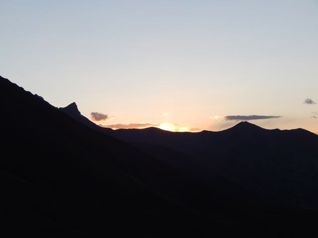
hiking Cochamó valley, Chile – NOT recommended

trip report by besthike editor Rick McCharles 

Not being a rock climber, I’d never heard of Cochamó before this trip. But the photos were intriguing.

IMG_0517

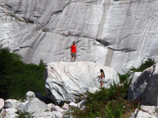
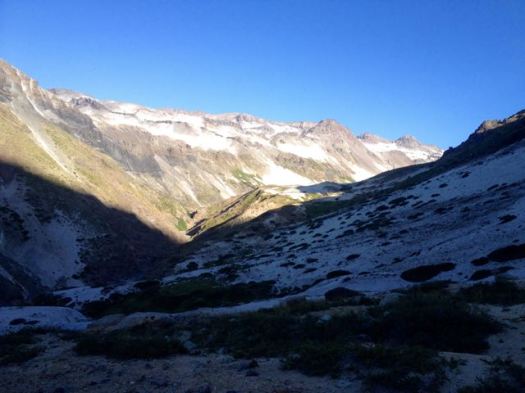
… The valley has a striking similarity to Yosemite Valley, due to its granite domes and old-growth forests. Like Yosemite, rock climbers from around the world come to climb the valley’s several 1,000 meters (3,300 ft) granite walls. However, it is also an unexplored paradise for serious and hikers – with trails ranging from easy to challenging, a myriad of rare bird and plant life, and a stunning landscape. …

The trail’s most famous users were Butch Cassidy and the Sundance Kid, who, while hiding out for a couple of years at their ranch in Argentina, actually drove their own cattle down to sell in Cochamó. …

Almost the entire valley is privately owned …

International tourism was pioneered by German adventurer and maverick, Clark Stede, who brought the trail to the attention of mainly European visitors, and established two lodges – one at the mouth of the River Cochamó, and an “outback” lodge in the upper La Junta Valley (the ‘Yosemite’ of Chile). These evolved into Campo Aventura. (currently closed) This was in the early 1990s …

Getting to the Cochamó valley was more complicated that expected. The bus we awaited in Puerto Varas did not bother stopping as it was already full.

Myself and 2 other Canadians from Alberta decided to take a 30 min bus to Puerto Montt – the start – in order to get seats on the next bus to Cochamó.

In fact, many buses that Saturday were leaving Puerto Montt full. Cochamó is very popular with Chileans during the summer.

The bus drops you at Cochamó town or the turnoff to the trailhead, just past the town.
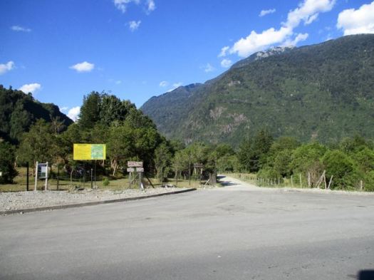
IMG_0467

From there I paid an additional couple of dollars for a shuttle to the trailhead itself.

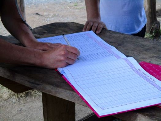
You are required to register but there’s no cost for the hike.
IMG_0471

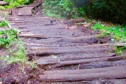
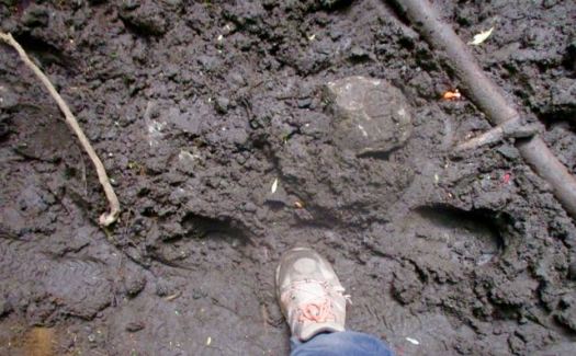
You head into the trees. For 13kms.
IMG_0562

IMG_0557

IMG_0563

13kms of muddy, horse churned muck.

Luckily, it had been sunny for weeks prior to my visit. I could almost get through without getting my feet wet.

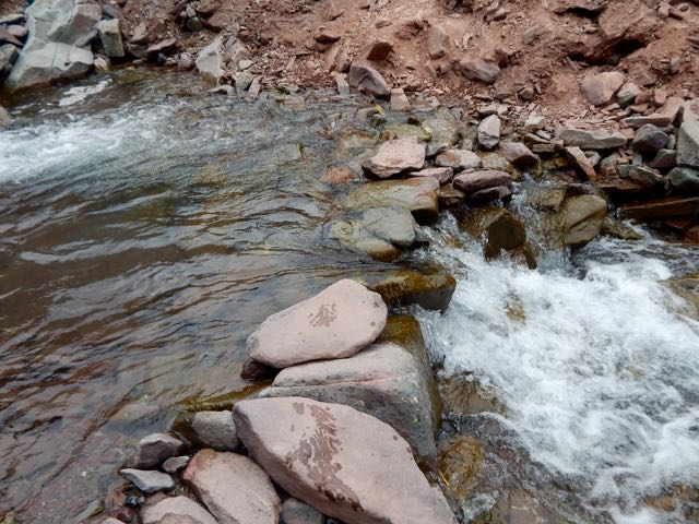
About the only highlight was catching glimpses of the crystal clear, pretty river.

IMG_0480

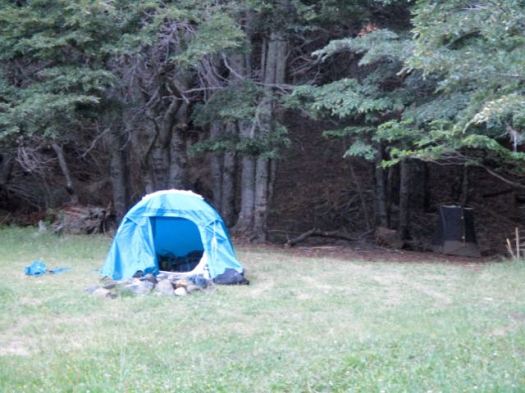
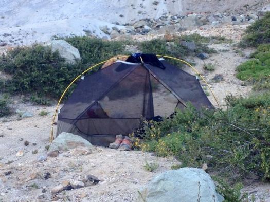
I ran out of daylight putting up my tent near the trail about 10pm.

Very early next morning I hiked on another hour or so to La Junta.

IMG_0493

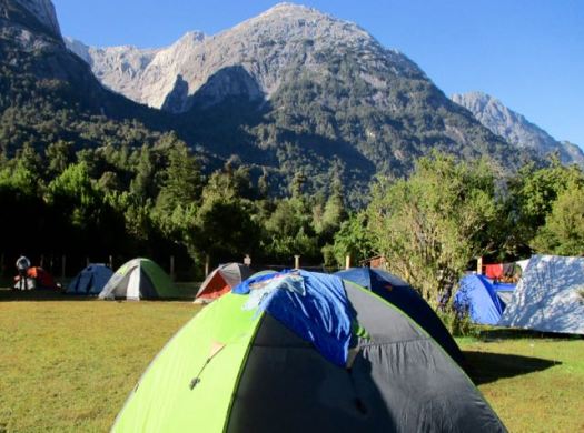
Of several campgrounds available, I was most impressed with Camping Trawen.
IMG_0496

IMG_0494

IMG_0497

But a petty tyrant lady terrorizing campers there motivated me to cross the river by cable car to stay at the next campground.

IMG_0499

IMG_0505

For hikers it’s recommended to camp in the valley. Day hike up, up, up on 3 different trails:

• Trinidad (13km return)
• Amphitheatre (8km return)
• Arco Iris (13km return)

I planned to do Trinidad & Amphitheatre day 1. Arco Iris day 2. Then hike out in time for the bus.

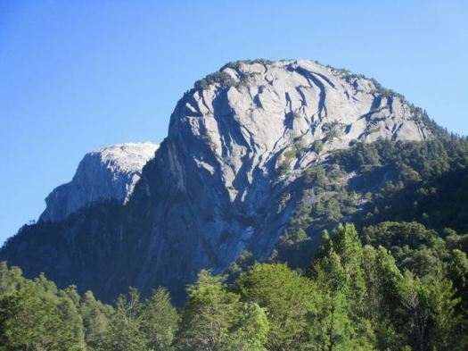
Views from La Junta were enticing. It did not look all that far to the walls.
IMG_0504

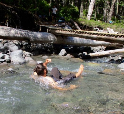
I started up quickly passing the famous water slide.

IMG_0509

I was the first person to start up Trinidad that day. It took a couple of hours of scrambling (hands & feet) to get to granite. In the trees without all that many views.

IMG_0515

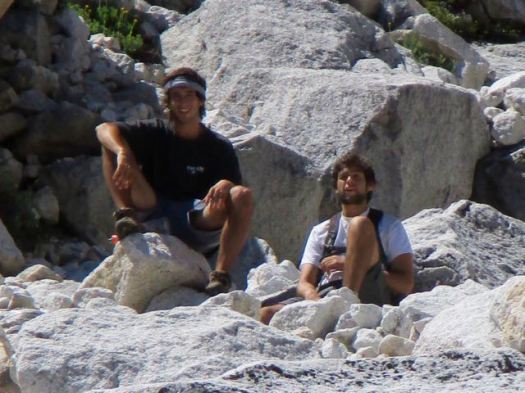
A couple of young guys caught me and we traversed together for another hour.

IMG_0518

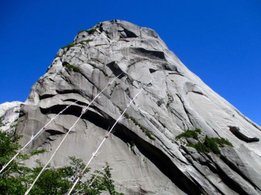
Route finding is tricky. These are not park trails but rather bushwhacking routes – the fastest ways climbers have found to get to the lines they want.

When I got to this vista I sat down to enjoy lunch.
IMG_0519

A condor was checking us out.

IMG_0521

The boys sat too. They couldn’t find the route to the end-of-the-line laguna.
IMG_0523

It was us and the lizards.

IMG_0530

I turned back, still wanting to get to Amphitheatre in the afternoon.

IMG_0524

IMG_0528

Back into the trees.

IMG_0531

It seems Amphitheatre is far less popular. I saw very few people on this “trail”. There was some rope assistance for scrambling over this rock. It would be very, very slippery when wet.

IMG_0534

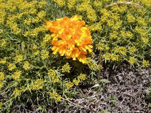
Orchids, I assume.

IMG_0538

Amphitheatre is impressive. 🙂

IMG_0541

IMG_0542

IMG_0544

This was about 4:30pm, however. I didn’t stay long.

Sadly I left my camera at Amphitheatre. It was embarrassing to tell other hikers descending why I was going back up. Two hours back up. 😦

… It wasn’t there. Merde.

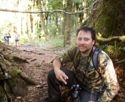
Happily, this guy had found my camera somewhere on the trail. Then hung it on a branch across the trail so I couldn’t miss it on my second descent. 🙂
IMG_0548

That was about 7pm.

I hustled down as quickly as possible but it was still near dark before I reached my tent. I was exhausted from 15 hours or more on my feet. And fed up with narrow, dangerous scrambles.

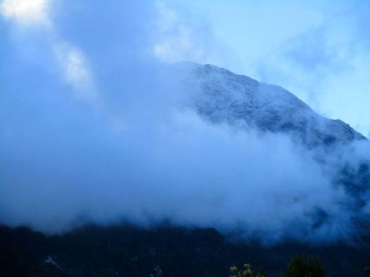
Next morning was cloudy.
IMG_0553

IMG_0554

But I’d already decided to skip Arco Iris. That’s a shame.

Summit Post:

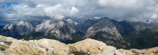
Arco Iris is probably the best “hike” in the valley. A relentless, steep hike involving fixed hand lines and good exposure takes you to treeline and a spectacular view point on the north side of the valley. From here, you can continue to scramble up to the summit and be rewarded with some of the best views you will probably ever see. Although this is certainly a serious scramble, trekkers comfortable with exposure and handlines should be able to make it. If big drop-offs scare you or you haven’t done any very steep trails requiring use of your hands extensively, then consider passing on this route.
Arco Iris

I walked out. Very tired.

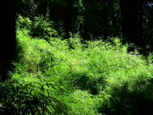
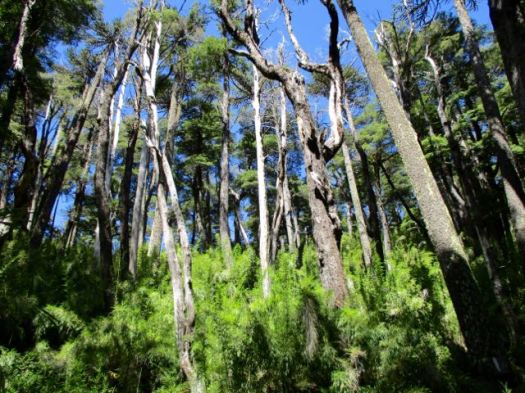
If this all appeals to you, go for it. But I’m not recommending this destination for hikers. 95% of the time you are tree locked. The 26kms return in muddy ruts is not worth the time when there are so many better hikes in Chile nearby.

Hopefully it will be made a National Park one day. Trails, access and navigation improved.

Chili volcanos – Villarrica Traverse day 2

trip report by site editor Rick McCharles 

day 0 | 1 | 2 | 3 | 4 | 5 | Traverse info page

Estero Nilfe > Camping Chinay picnic area

Good morning. 🙂

IMG_0059

IMG_0061

I went for a wander in my crocs.

IMG_0062

We could see steam venting from Villarrica.

IMG_0066

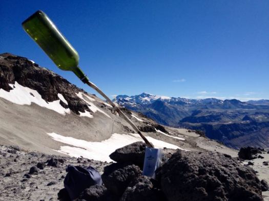
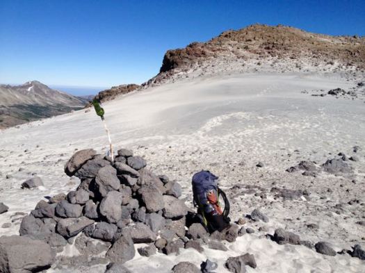
I left a Summit Stone in the Valley of Fire.

IMG_0067

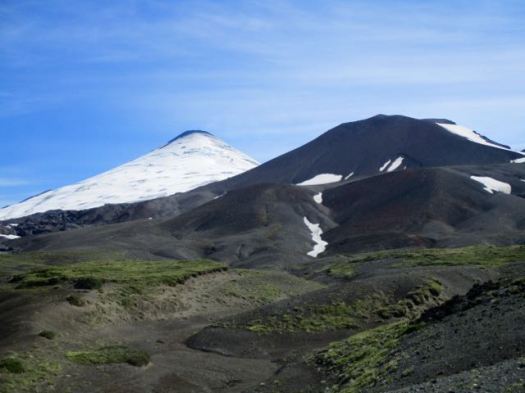
Starting up again we soon got our first view of the biggest volcano, Lanin.

IMG_0069

The 3 Amigos were loving this.

IMG_0073

Interesting mixed terrain today.

IMG_0070

IMG_0071

Pedro is a big guy – about 100kg. But he was still heavily loaded.

IMG_0076

This was the first overnight hike for the two Brazilian guys.

IMG_0082

I love weird volcanic geology.

IMG_0079

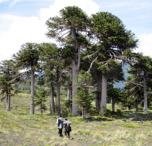
More Monkey Puzzle.

IMG_0089

IMG_0090

One of my favourite photos from the trip.

IMG_0091

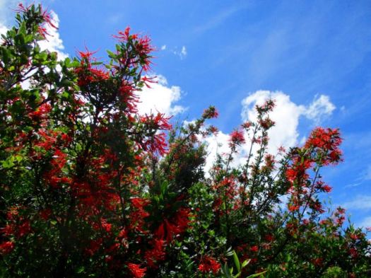
These are the most impressive flowers up here.

IMG_0095

Once again we saw no wildlife aside from hares. The lizards are entertaining, however.

IMG_0101

When we finally reached the first bigger creek on our trip, I decided to soak my feet.

IMG_0102

Pedro took the plunge.

IMG_0107

IMG_0116

Big trees. Good water. We considered camping here.

IMG_0117

Instead we walked on to a mostly disused road eventually catching a short ride.

IMG_0123

In the end we set up at an old picnic site at (currently closed) Camping Chinay.

IMG_0125

A hiker from France joined us in trying to finish our 3 litres of wine. 🙂

IMG_0126

day 0 | 1 | 2 | 3 | 4 | 5 | Traverse info page

day 3 – Laguna Ánimas to Hot Springs

trip report by besthike editor Rick McCharles

day 0 | 1 | 2 | 3 | 4 | 5 | info Condor Circuit  

Another lovely dawn. I packed up before the sun hit my tent. Fearing sunburn.

IMG_0472 IMG_4130

Pretty Laguna las Ánimas is a jewel in the midst of volcanic destruction.

IMG_4131

Atop the next plateau I was surprised to find yet another alpine meadow.

IMG_4132

If this region were not so volcanic, it would be very green.

Higher there was yet more water. But the scenery grew stark. Weird and wonderful.

IMG_4136

IMG_4135

IMG_4137

Looking back on my morning route.

IMG_4138

Above Ánimas there are no signs. No official trails. You are on your own. I’m sure people get lost and die here every year.

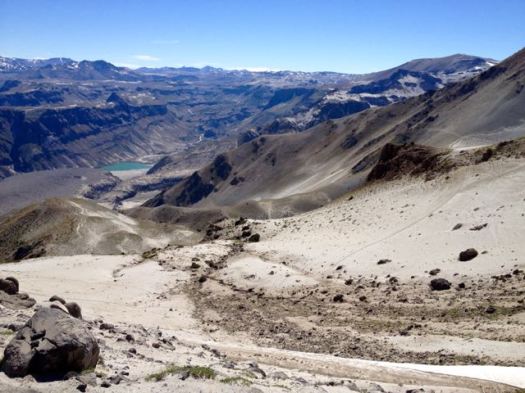
I hoped that was my highest pass up ahead.
IMG_4139

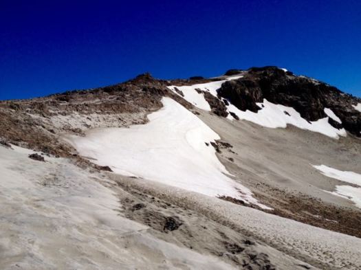
It was. 🙂 I left a Summit Stone.
IMG_4141

It would be an excellent idea to enjoy the massive and impressive Mt. Decapitated vista from here. And turn back.

Laguna Mondaca
Laguna Mondaca

IMG_4144

I dropped down to the other side crossing this field of snow and ash.

IMG_4145

Laguna Mondaca looked too great a descent for me. I’d really rather not drop down that far and have to climb back up.

A high traverse trail on the right looked much more tempting. Quickly I decided to stay as high as I could. Returning by the same route if that trail didn’t loop around back to Valle de Indio.

IMG_4148

I LOVE this kind of brutal & extreme landscape.

IMG_4147

IMG_4151

IMG_4153

Surprisingly, it’s quite easy to find water here.

IMG_4154

IMG_4155

Wildflowers were still thriving in January.

IMG_4159

IMG_4162

The unofficial trail was excellent. I stayed as high as I could.

Laguna Mondaca
Laguna Mondaca

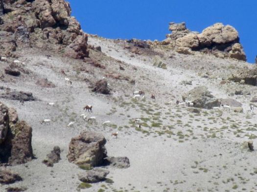
Though I could see for miles in every direction, I’d seen no wild mammals at yet. Goats were grazing very high up, circled by two very interested condors.

IMG_0473

I tried to find some shade to take a siesta mid-day. This was one of the best.

IMG_4169

I set up the tent to keep flies and wasps away.

IMG_4174

This was a long but comparatively easy day, mostly gradually downhill. I decided to enter a side valley hoping it would loop back to where I started. (My GPS did not work and I had no map, so this was wild speculation.)
IMG_4175

Entering the valley I smelled sulphur. I’d stumbled on to one of the many natural hot springs in the area. But a horse group was already camped there. I decided to wait until next day to have my bath.

I set up high and out-of-sight since there were cattle and people in this valley.

IMG_4176

day 0 | 1 | 2 | 3 | 4 | 5 | info Condor Circuit  

Alchi Circuit, Ladakh – day 1

trip report by besthike editor Rick McCharles

day 0 | day 1 | day 2 | day 3 | not recommended

After 2 days rain delay, the morning dawned lovely in Leh.

DSCN3529

DSCN3532

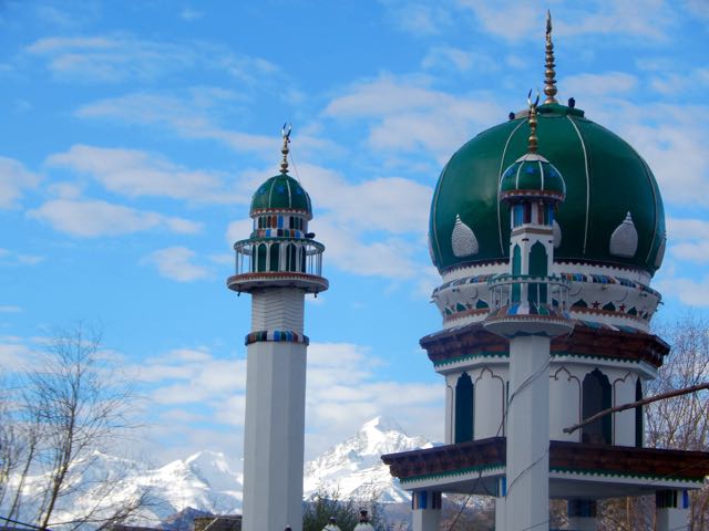
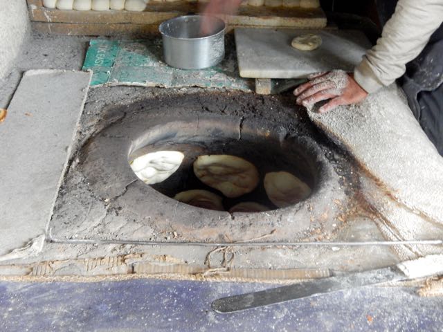
First stop was the outdoor bakery near the main Mosque.

DSCN3533

DSCN3535

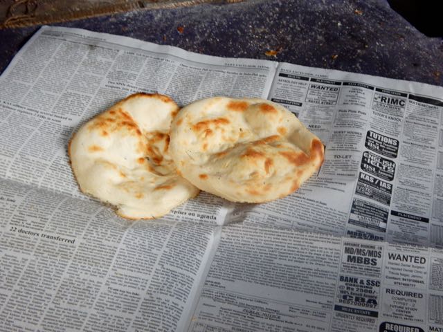
I picked up 10 flat bread for less than $1. My hiking lunches. With peanut butter. 🙂

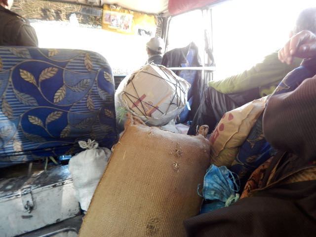
At the NEW Bus Station I found the (unmarked) 8am bus to Alchi, about 70km away. It was packed.

DSCN3539

Alchi Monastery or Alchi Gompa … is said to be the oldest and most famous. …

The monastery complex was built, according to local tradition, by the great translator Guru Rinchen Zangpo between 958 and 1055. However, inscriptions in the preserved monuments ascribe it to a Tibetan noble called Kal-dan Shes-rab later in the 11th century …

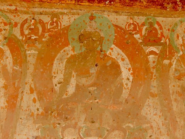
The artistic and spiritual details of both Buddhism and the Hindu kings of that time in Kashmir are reflected in the wall paintings … These are some of the oldest surviving paintings in Ladakh. …

Image_of_Kannon_in_Ladakh_001

DSCN3544

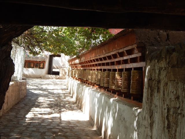
I made the Kora. Let’s hope my hike goes well.

DSCN3547

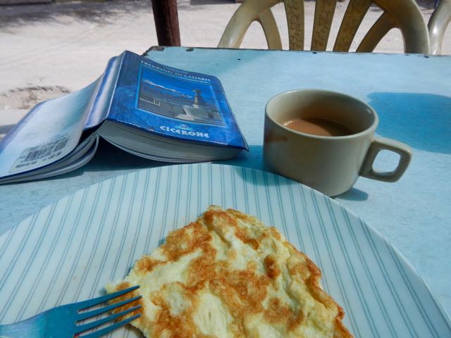
My last meal.

DSCN3549

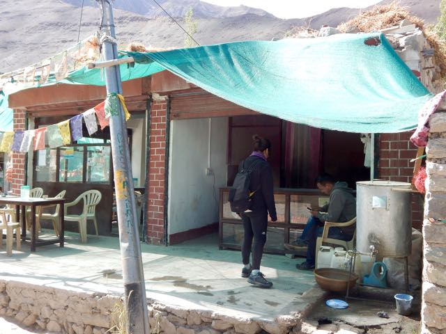
The Italian woman who joined me at the tiny restaurant in Alchi square was hospitalized in Leh the day before. Altitude sickness. She was given 2 shots and 3 different pills!

DSCN3551

The restaurant owner pointed me in the right direction at 11am. Wandering though local fields.

DSCN3553

DSCN3555

I was at an altitude of 3,100m (10,200ft). And needed to climb at least 2km vertical!

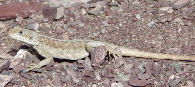
Here’s the one and only lizard I saw on the trip. He stayed behind in the sun.

DSCN3563

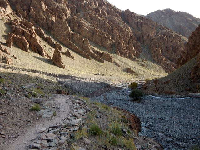
It’s an easy start. Winding up a Himalayan valley.

DSCN3564

DSCN3567

Still, I was worried. I’d need to cross a huge, difficult pass, about the same height as I could see on the other side of the Indus valley.

DSCN3568

Higher and higher.

DSCN3570

DSCN3574

DSCN3576

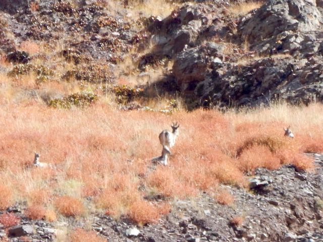
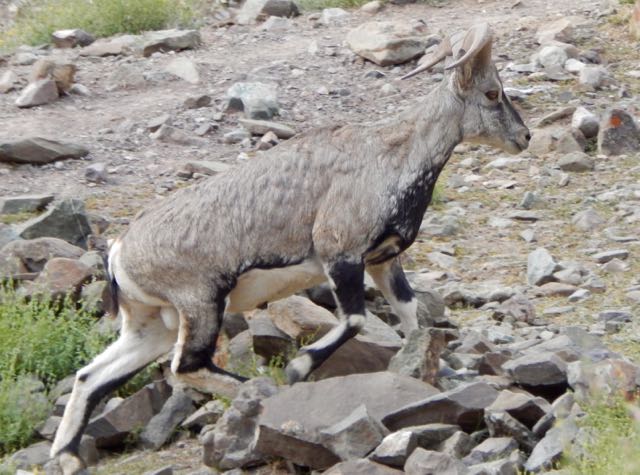
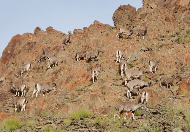
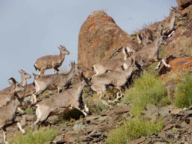
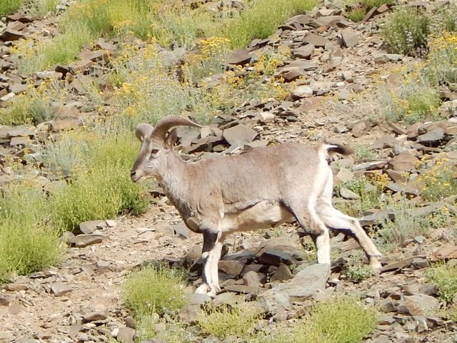
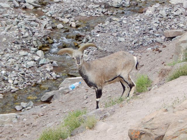
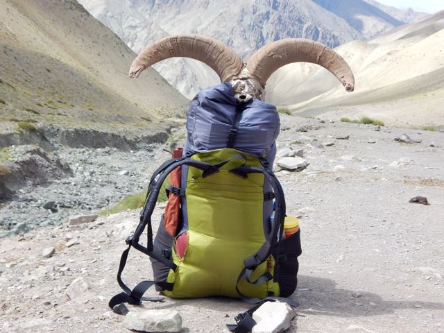
Up a side valley I spotted Blue Sheep. Here’s the herd at 32x zoom.

DSCN3581

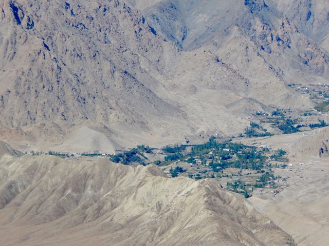
That oasis across the Indus is the famed Buddhist temple Likir.

DSCN3590

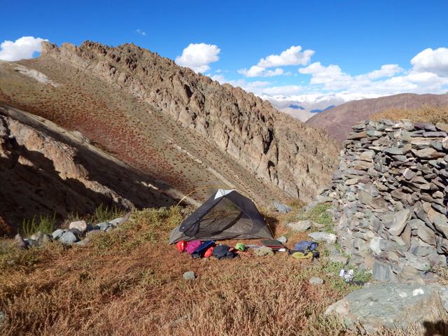
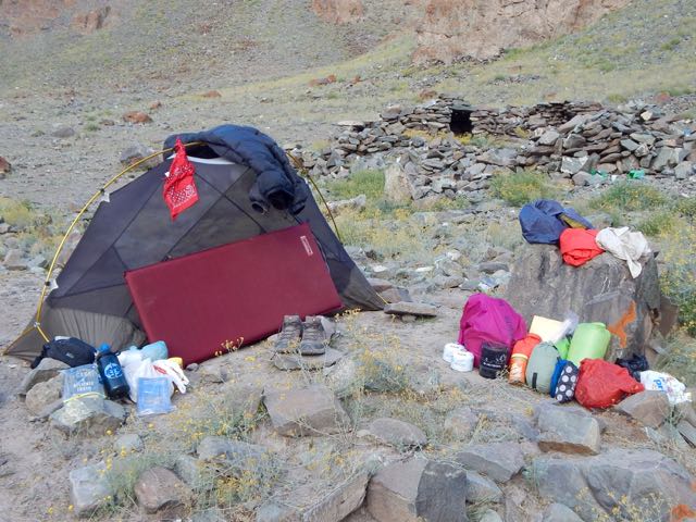
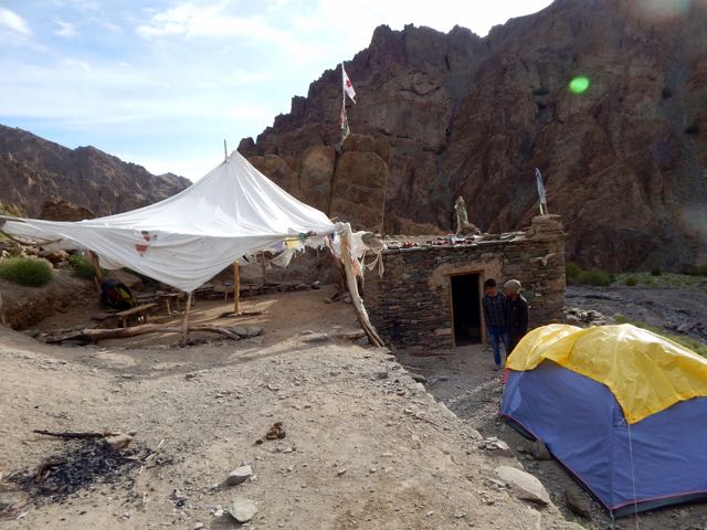
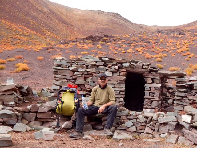
I set up my tent at the last possible site, the highest shepard shelter. My guidebook called it Stakspi La Base Camp. It was 3:30pm.

DSCN3599

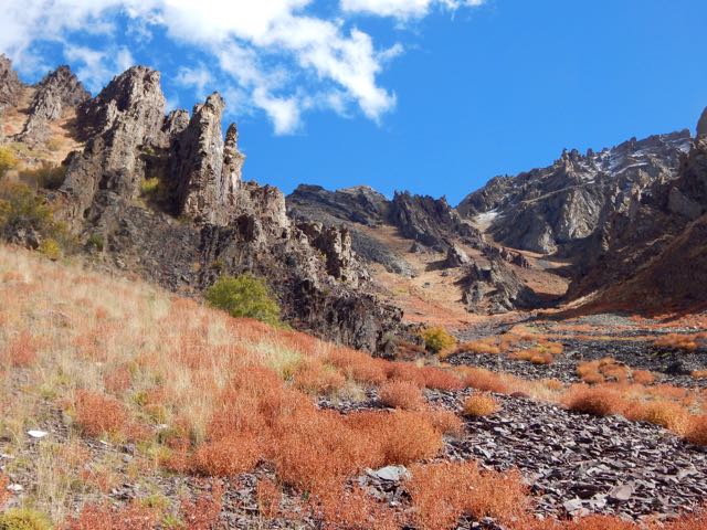
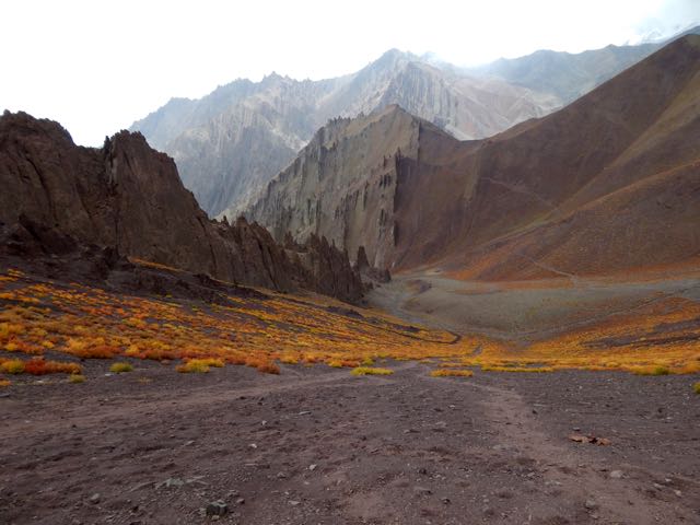
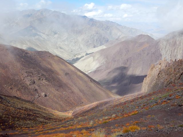
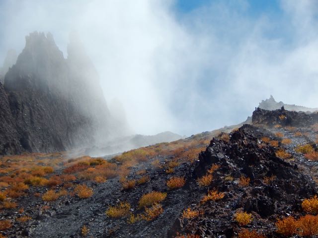
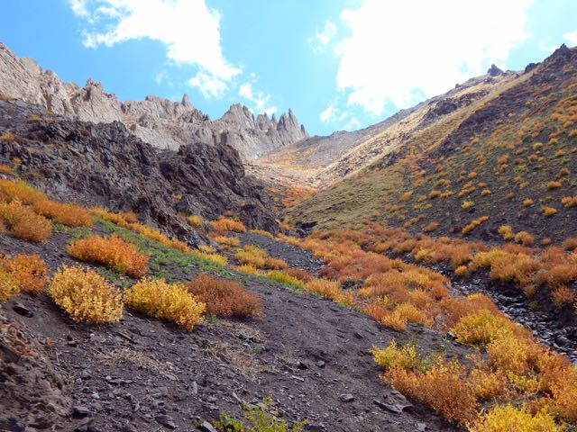
In the bright Tibetan sunlight, the autumn colours were lovely.

DSCN3594

DSCN3607

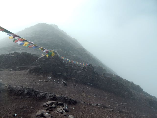
My goal for tomorrow is climbing up and over this 5000m+ wall.

DSCN3605

Goodnight.

DSCN3612

See all the high resolution photos from this day.

day 0 | day 1 | day 2 | day 3 | not recommended

Markha trek, Ladakh – day 7

trip report by besthike editor Rick McCharles

day 0 | day 1 | day 2 | day 3 | day 4 | day 5 | day 6 | day 7 | info page

Good morning.

DSCN3412

After 2 pots of coffee in a totally empty campground, the first sight of my hiking day was … these.

DSCN3413

DSCN3414

DSCN3415

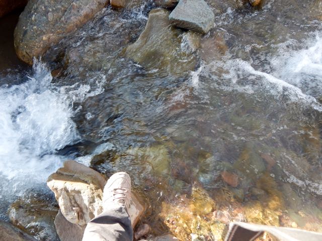
The river valley continued rocky requiring many boulder hops.

DSCN3417

DSCN3418

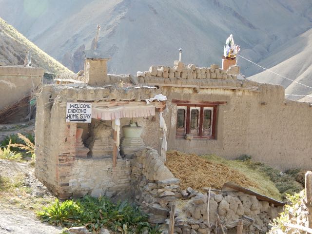
Chockdo 3985m is a pretty place.

DSCN3420

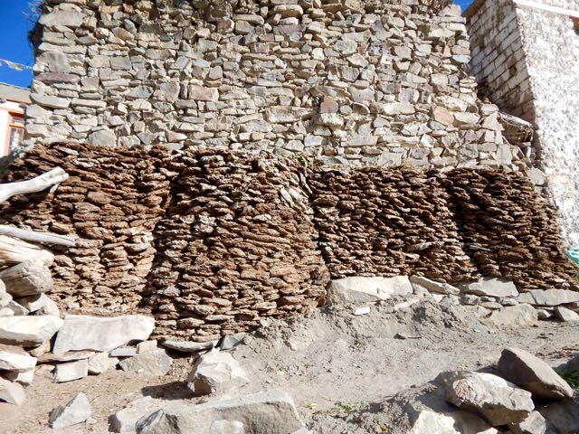
Well stocked with dung fuel for winter.

DSCN3422

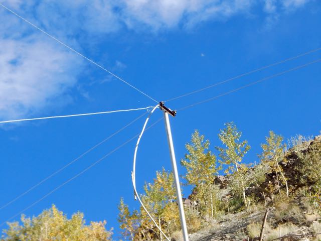
Unfortunately electricity has reached Chockdo. If I see electrical lines or motor vehicles, I quit hiking ASAP.

DSCN3425

The homestays here actually look appealing.

DSCN3428

DSCN3429

DSCN3430

Compared with yesterday, this descent was a piece of cake.

DSCN3434

DSCN3435

I was a little fried, but – like the horses – happy to be reaching the finish line.

DSCN3438

At Shang Sumdo I found 2 jeeps packing up. One was already full. The other agreed to drive me back to Leh for $8.

DSCN3443

DSCN3445

I said goodbye to the Markha circuit.

DSCN3447

And goodbye to Sergei.

DSCN3210

He decided to walk to the highway. Then hitchhike to somewhere else. Somewhere with more trees. 🙂

Home sweet home. Hotel Chube in Leh.

DSCN3458

Luke warm shower. Dosa and uttapam for lunch. 3 hours of internet. Then a celebration dinner with friends at Chopsticks, my favourite restaurant in town.

Astonishingly we watched professional wrestling on TV. It’s unbelievably popular in India.

See all my high resolution photos from this day on flickr.

day 0 | day 1 | day 2 | day 3 | day 4 | day 5 | day 6 | day 7 | info page

Markha trek, Ladakh – day 6

trip report by besthike editor Rick McCharles

day 0 | day 1 | day 2 | day 3 | day 4 | day 5 | day 6 | day 7 | info page

Coffee in the tent. Two pots.

DSCN3293

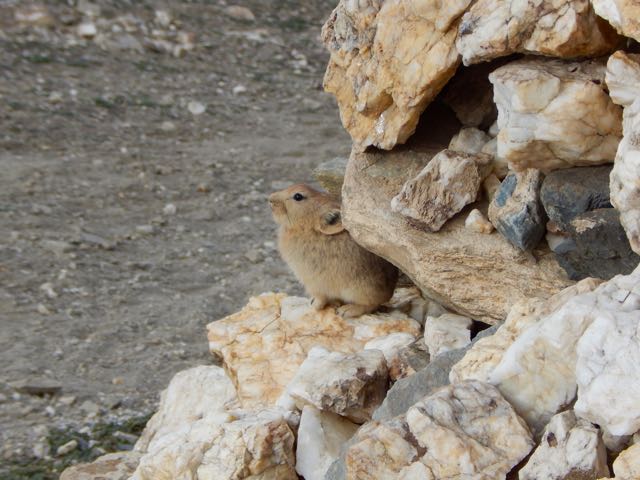
Nearby was a big marmot hole. Currently occupied by this pica.

DSCN3295

DSCN3299

I packed up sooner than anyone else in camp (aside from Sergei). Nobody arrived to collect my fee.

DSCN3301

I’d never seen so many picas in my life as I did this day. The Ladakh population is quite fearless too.

DSCN3307

It’s easy to see we were reaching high altitudes again.

DSCN3316

DSCN3315

DSCN3322

Tsigu lake 4690m.

DSCN3319

Here’s Kang Yaze peak 6400m.

DSCN3324

Looking back down the Markha a gorgeous vista.

DSCN3325

I caught a glimpse of Sergei, perhaps a half hour ahead.

DSCN3332

He was en route to Gongmaru Pass. Which looks very easy from here.

DSCN3330

I stopped at the parachute in Nyimaling 4848m. (VERY high!) If you’re smart, you overnight here in these tents giving more time next day to get over.

DSCN3333

DSCN3334

DSCN3335

DSCN3336

DSCN3337

I started up towards the pass at 11am.

DSCN3339

Looking back to Kang Yaze mountain.

DSCN3350

That’s Langthang Valley, the start of the difficult, remote trek to Pang. (My next trip to Ladakh.)

My climb looks easy. But it took a lot longer than anticipated to get to Gongmaru La 5287m.

DSCN3356

DSCN3355

Surprisingly, I caught Sergei. And this dog.

DSCN3365

DSCN3360

Sergei started down while I enjoyed the top for some time.

DSCN3372

DSCN3369

DSCN3374

I like that last photo, using it for Facebook.

Every time you reach a high pass it’s worth checking both sides. In this case you could easily climb to 5500m or higher. I didn’t have the energy. Instead dropped down to the other side.

DSCN3375

This guy and his horses coming up looked exhausted.

DSCN3384

DSCN3383

It would be easier to fly.

DSCN3387

“It takes 3 1/2 hrs to Chuskyurmo from the pass.”

Kucharski – the author of my guidebook – bungled that estimate. It must take some people 6 hours to make this descent.

DSCN3380

“ … steep, slippery, precipitous, stony, … “

Yep. And worse.

DSCN3389

DSCN3391

DSCN3393

Engineers at various times have tried to make a safer trail. But landslides and washouts are difficult to predict.

DSCN3398

Boulder hopping is a necessary skill.

DSCN3406

The trail seemed to get worse and worse.

DSCN3407

I got fed up after this point. Stopped taking photos. When I finally reached Chuskyurmo I plunked down my pack at the first official campsite.

Good night.

See all my high resolution photos from this day on flickr.

day 0 | day 1 | day 2 | day 3 | day 4 | day 5 | day 6 | day 7 | info page

Markha trek, Ladakh – day 5

trip report by besthike editor Rick McCharles

day 0 | day 1 | day 2 | day 3 | day 4 | day 5 | day 6 | day 7 | info page

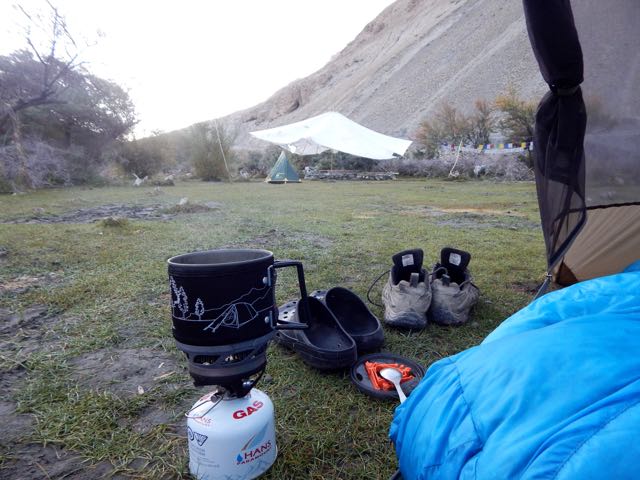
Morning coffee.

DSCN3145

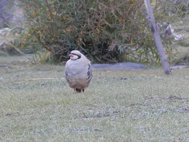
These curious (and common) ground birds dropped by. Are they Chukar partridge?

DSCN3153

Sergei packs up his small cycling tent.

DSCN3163

We were surprised when a Tibetan woman appeared asking for 150 rupees each. It had seemed the campsite (dirty and without a toilet) was closed for the season. Apparently not.

Official campsites seem to cost 600 Indian rupees in 2015. Unofficial ones 150 Indian rupee. Both overpriced compared with homestays, we felt. (900 rupees including 3 meals)

UP and off.

DSCN3171

DSCN3172

I tried to keep up with Sergei. It wasn’t easy. Especially since I had been exhausted the day before keeping pace.

DSCN3176

On the other hand, we were fairly compatible. Both keen and very independent hikers.

DSCN3187

I found the dry Markha valley gorgeous. Sergei missed trees.

DSCN3195

DSCN3193

River crossings were actually a relief. Heat emergency is a real risk here.

DSCN3197

I changed footwear. Sergei plunged through.

We’d anticipated Markha village 3806m to be somehow more impressive than the other villages. But it was very quiet. Harvest was in progress. Everyone in the fields.

DSCN3214

DSCN3216

DSCN3207

DSCN3209

So we continued.

DSCN3223

DSCN3227

DSCN3228

Horses are the most popular pack animal here. Followed by donkeys.

DSCN3231

I didn’t once see a Yak or Yak hybrid used.

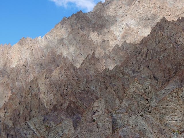
The geology here is stunning.

DSCN3277

Sergei is an alpinist, having summited Lenin Peak. He was interested in these formations.

DSCN3232

DSCN3236

DSCN3237

Though there are many impressive stupas and monasteries, it seems Ladakh does not have many monks.

DSCN3241

This particular monastery does impress, however. Umlung Gompa 3890m, impossibly situated.

DSCN3245

DSCN3251

The parachute camp was closed. So we carried on.

DSCN3255

Seabuckthorn berries are everywhere. Used for jam and other local products.

DSCN3259

Higher and drier.

DSCN3262

DSCN3263

DSCN3265

We considered stopping near Hankar 3990m. But Sergei likes to walk until dusk. So he can set up his tent in the dark (for free) and not be hassled by passing locals. Everyone who walks past asks for 150 ruppee, even a monk … though the monk actually seemed to have “receipts” in his robes for the camping fee.

DSCN3273

Exhausted and with sore feet, I finally put down my tent in the official camping at Thachungtse 4250m.

DSCN3285

Sergei, lacking firewood to cook his dinner, decided to stay as well and use my gas stove.

See all my high resolution photos from this day on flickr.

day 0 | day 1 | day 2 | day 3 | day 4 | day 5 | day 6 | day 7 | info page

Markha trek, Ladakh – day 4

trip report by besthike editor Rick McCharles

day 0 | day 1 | day 2 | day 3 | day 4 | day 5 | day 6 | day 7 | info page

Like every other night on Markha, I slept under mesh. No fly needed.

DSCN3017

That typically means I awake at first light.

DSCN3019

With the moon setting early, I enjoyed dark nights. Bright stars. Milky way.

Clean water for coffee. Just as soon as the ice melted.

DSCN3020

Rabbits and partridge watched me pack up.

DSCN3027

DSCN3043

DSCN3022

Kanda La 4973m was an easy crossing.

DSCN3045

DSCN3046

Holy shit.

DSCN3048

It’s always a treat to see over the other side of the mountain.

DSCN3052

DSCN3051

Down. Down. Down.

DSCN3054

The marmots here are huge.

DSCN3062

Before long I was back in the fields. Harvest in progress.

DSCN3072

This is Shingo 4128m.

DSCN3074

When you get low enough. Dry enough. Hot enough. Lizards appear.

DSCN3091

I finally reached the Markha river at Skyu 3430m.

DSCN3096

DSCN3098

The monastery in Skyu is impressive. The parachute camp clean and organized.

DSCN3106

DSCN3110

DSCN3112

In fact, Skyu has electricity in the evening. And road building has been attempted.

DSCN3115

DSCN3113

Seems to me the Markha valley will one day be ruined for trekking. 😦

It was here I joined Sergei.

DSCN3117

An alpinist and hiker from Russia, nobody on the trail carried a bigger pack. Nor walked as far each day. He was tenting, as was I.

Sergei cooked over an open fire each day. His own food brought from home. He needs wood, a rare commodity in Ladakh.

Happily there are many trees along the river in the lower Markha valley.

DSCN3120

We continued up river.

DSCN3124

The Markha is beautiful. Rugged in places.

DSCN3134

It was getting dark before we finally settled on a (dirty) closed campsite.

DSCN3137

But it had a fire pit. Wood. And clean water. We were happy with the spot.

DSCN3144

See all my high resolution photos from this day on flickr.

day 0 | day 1 | day 2 | day 3 | day 4 | day 5 | day 6 | day 7 | info page

Markha trek, Ladakh – day 3

trip report by besthike editor Rick McCharles

day 0 | day 1 | day 2 | day 3 | day 4 | day 5 | day 6 | day 7 | info page

I had a peaceful night camped above 5000m close to the rocky face of the big mountain – Stok Kangri.

DSCN2888

What little water I had left was frozen.

DSCN2886

My challenge today was to scramble “Rick’s ridge” back to the trail.

DSCN2885

DSCN2887

You could say I was lost. On the other hand, I could see the official route many kms below.

DSCN2897

DSCN2896

In fact I loved the ridge walk. One of the highlights of the week.

DSCN2903

The only difficulty was the last scramble down to Rumbak 3847m.

DSCN2902

Rumbak turned out to be a pretty, interesting town. Everyone getting ready for winter.

DSCN2913

DSCN2918

DSCN2919

DSCN2921

DSCN2924

Feed. Wood. Fuel.

DSCN2922

These contraptions are used for melting snow.

DSCN2925

These are used for gates and fences.

DSCN2927

They use some solar power in Ladakh, but not nearly as much as in Nepal.

DSCN2928

I carried on up to Yurutse 4150m.

DSCN2930

DSCN2953

DSCN2960

And finally Kanda La “Base Camp” 4345m. (Calling these Pass jumping off points Base Camps is embarrassing, I agree.)

DSCN2965

The young guy running the parachute was getting drunk on rum and beer. And looking forward to partying.

I left as quickly as possible after my Masala Chai.

I hiked up to about 4600m metres to a place that my guidebook called “Advanced Base Camp”.

DSCN2968

It was me. The marmots. The partridge (?). And a horseman that stopped to let his animals graze and drink for a half hour.

DSCN2978

DSCN2986

DSCN3011

DSCN2966

DSCN2994

As always, you need watch the cattle and Yak hybrids. They like to snoop in tents for food.

DSCN2996

DSCN3002

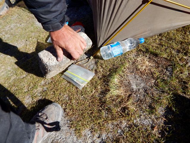
I hid my passport and most of my money under a stone. Just in case.

DSCN3005

Good night. 🙂

DSCN3007

See all my high resolution photos from this day on flickr.

day 0 | day 1 | day 2 | day 3 | day 4 | day 5 | day 6 | day 7 | info page

Markha trek, Ladakh – day 2

trip report by besthike editor Rick McCharles

day 0 | day 1 | day 2 | day 3 | day 4 | day 5 | day 6 | day 7 | info page

Colossal blunder or Adventurous Side Trip?

Though I managed to get myself lost for 8 hours, this was to be the best day of the trek. 🙂

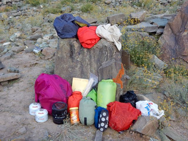
Was I carrying too much? Missing anything?

DSCN2709 DSCN2708 DSCN2707

As it turned out, carrying 3 books was crazy. Instead I should have brought some sort of power supply for my iPhone. Audio books are best on the trail.

DSCN2713

Around one corner I stumbled into a big herd of Blue Sheep.

DSCN2723

DSCN2731

DSCN2726

Lucky me.

DSCN2733

Actually, the boys at this parachute camp were providing a salt lick.

DSCN2732

These parachutes are seasonal restaurants. They all serve hot and cold drinks. Few provide hot food.

I stayed some time snapping pics.

DSCN2741

DSCN2752

DSCN2759

It’s here that you either ascend to climb Stok Kangri 6153m (20,182 feet) … or head for the Markha circuit via one of two passes.

DSCN2757

Up and up.

DSCN2766

Beautiful and somewhat mystical.

DSCN2770

DSCN2775

My lunch for the first few days was peanut butter on Naan. I’d purchased these flatbreads from outdoor Muslim bakers near the mosques in Leh. Less than $1 for 10. They keep well on the the trail.

DSCN2778

DSCN2801

One very good reason to come to Ladakh end of season is to enjoy the autumn colours. It reminded me of Yukon in the Fall.

DSCN2802

DSCN2803

DSCN2807

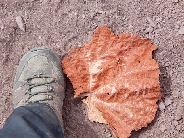
These odd high altitude plants are mostly leaf.

DSCN2806

I finally reached Stok Pass. Alon from Israel arrived same time from the other side.

DSCN2811

DSCN2812

We were both happy to get some weather. It made the crossing more memorable.

DSCN2814

Just behind Alon were 3 more hikers, not quite so enthusiastic about the snow.

DSCN2823

DSCN2824

Gorgeous.

DSCN2817

DSCN2819

DSCN2825

Dropping down the weather cleared.

DSCN2831

DSCN2829

This is an extreme desert. Precipitation is rare.

I love desert landscapes.

DSCN2832

DSCN2833

DSCN2834

DSCN2836

DSCN2837

Arriving to the other side my plan was to shortcut – skipping Rumbak village. Why descend when I could traverse the mountain?

DSCN2846

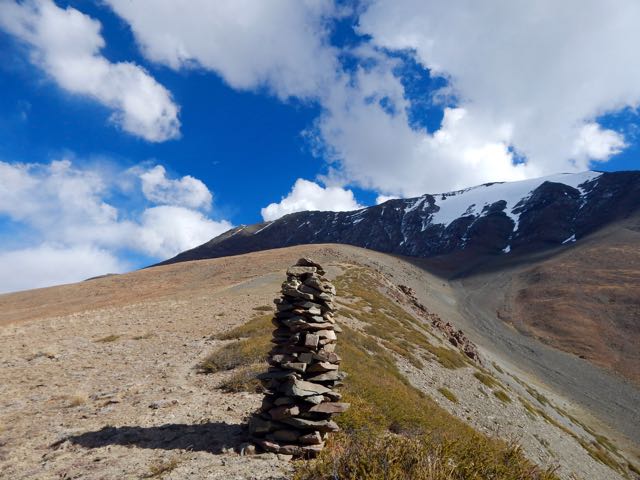
A series of cairns seemed to confirm my off-trail route.

DSCN2858

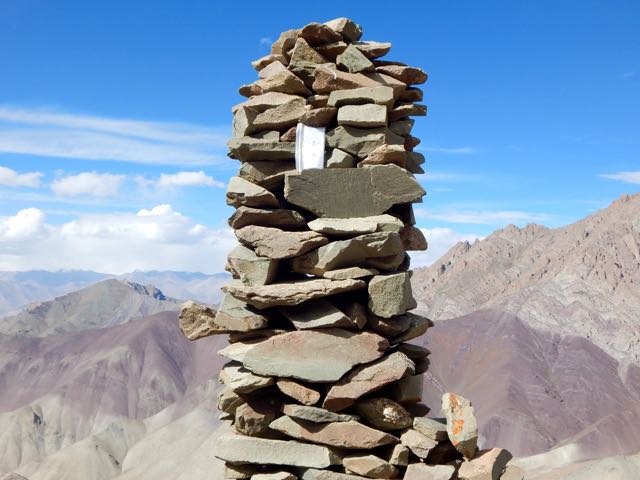
I left a Summit Stone in this sentry.

DSCN2859

DSCN2860

Climbing high I ASSumed I’d be able to traverse towards Kanda Pass in the next valley.

DSCN2861

I ASSumed wrong. I was nowhere near Kanda. 😦

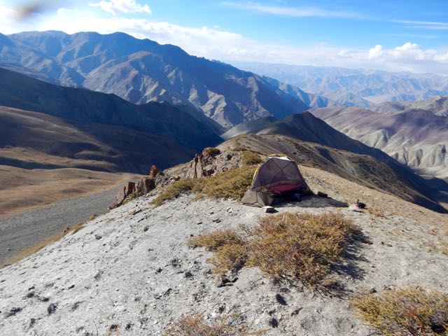
Daylight failing, all I could do was set up my tent well above 5000m.

DSCN2862

Nothing lives up there. But a couple of vultures did fly-bys. Hoping I was dead.

DSCN2866

It was an impressive campsite.

DSCN2874

DSCN2877

If needed, I could melt snow.

DSCN2878

I listened to Jack Reacher on audio through the night.

DSCN2881

DSCN2883

See all my high resolution photos from this day on flickr.

day 0 | day 1 | day 2 | day 3 | day 4 | day 5 | day 6 | day 7 | info page