- up to 8 days
- up to 120km (74.5mi)
- guided
Karen Watkins:
The … Naukluft hiking trail is regarded as one of Africa’s toughest. I went along to find out why. …
Travel Namibia News (2012)




Best hikes, treks, tramps in the world.
Karen Watkins:
The … Naukluft hiking trail is regarded as one of Africa’s toughest. I went along to find out why. …
Travel Namibia News (2012)
Have you been following Peter McBride & Kevin Fedarko?
Epic Grand Canyon Hike: A 650-Mile Challenge (Part 1)
Epic Grand Canyon Hike: Frozen Shoes and Low on Food (Part 2)
I liked the 3rd and final instalment best.
Click PLAY or watch Thirst and Threats in the Godscape on YouTube.
trip report by site editor Rick McCharles
I love Mojave National Preserve about an hour away from Las Vegas.
But I’d already done most of the popular hikes on previous trips.
Happily this time I discovered the Barber Loop Trail apparently the newest of the established trails.
Ideal for those sleeping at Hole-in-the-Wall Campground.

It’s a loop so you can hike in either direction.

Best is to start off into the desert, return via the Rings Loop Trail
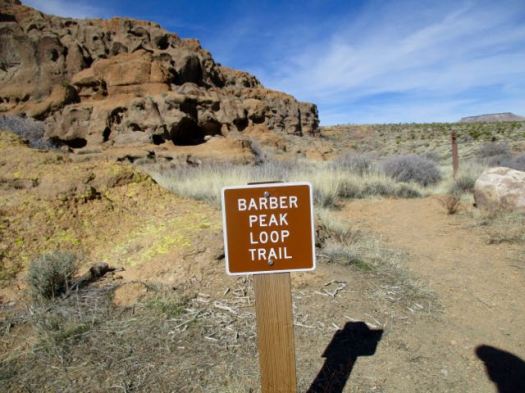
I was a bit disappointed. Standard flat desert.

I’d hoped the trail would loop up on top of Barber Mountain. It doesn’t.

There are a few things to see in the desert, of course.


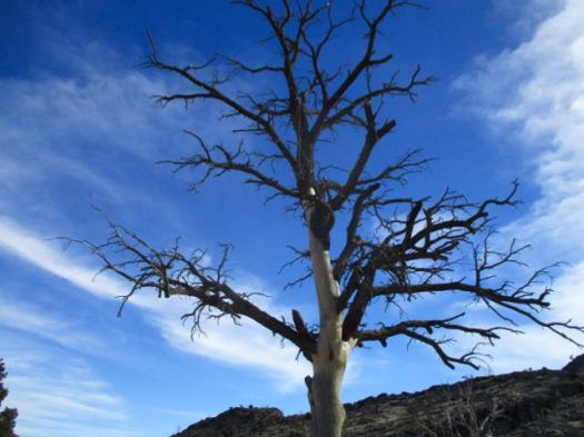
The best part is the section you could do separately as the Rings Loop Trail.


If you want to know more, Bird and Hike posted an excellent trip report.
trip report by site editor Rick McCharles
My old friend Francis Tally took me to one of his favourite hikes out of Usery Mountains Regional Park near his winter home in Mesa, AZ.

Huge Saguaro cactus are the highlight. And the brazen chipmunks. 🙂
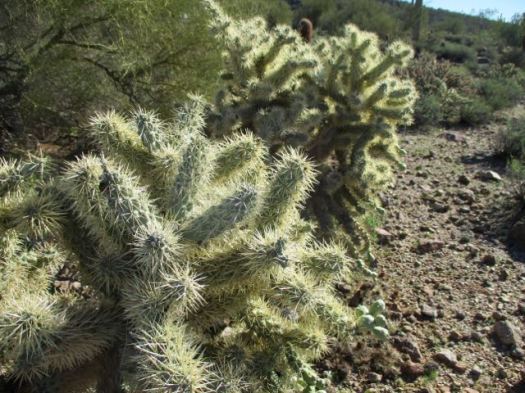
Francis told me an awful story of a hiker who fell into one of the OTHER types of cactus. It took paramedics 3 hours to remove enough spines just to transport him by ambulance!
We arrived on a Sunday morning to learn that weekend mornings are a zoo on this popular trail. It was difficult to find parking .

The trail itself is not all that difficult. Many children hike it.
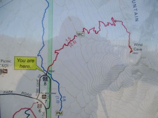
The Wind Cave isn’t really a “cave” but rather an indent to shelter from the wind.

Almost everyone stops here. Francis and I scrambled on to the top of the mountain.
Finding some pink ribbons we decided to follow that off-trail route.

Here we be. The sprawl of greater Phoenix at our feet.

This is a terrific area for day hikes.

Thanks Francis. … I assume the name tag on your hat is to help authorities return you to your retirement park if you get lost. 🙂

Exiting the Park Francis took me over to a nearby gun range just below the Phoenix sign. I’d never seen one before.

They are LOUD.
related – Roads Less Traveled trip report
New Mexico
trip report by site editor Rick McCharles
Length: 2 miles (3.5 km), round-trip
The White Sands National Monument … at an elevation of 4,235 feet (1,291 m). …
It is the largest gypsum dune field in the world. …
The Monument is completely surrounded by military installations (White Sands Missile Range and Holloman Air Force Base) and has always had an uneasy relationship with the military …
Located on the northernmost boundaries of White Sands Missile Range, the Trinity Site can be found, where the first atom bomb was detonated. …
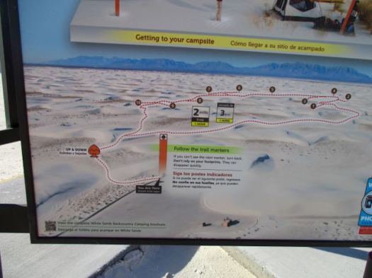
There are non-stop warnings about dehydration.

Let’s go.
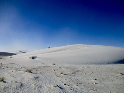
I wore these lightweight camp shoes. They turned out to be perfect for the soft sand.

It was VERY windy.

Deserts are always interesting.


There are 10 backcountry campsites available.
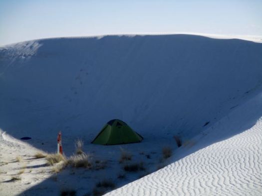
details on Backcountry Camping
Following my hike, I joined the sunset dunes walk led by a Ranger.

It was very interesting and entertaining. This entire structure was created by that plant.

Sunsets are wonderful in the desert.
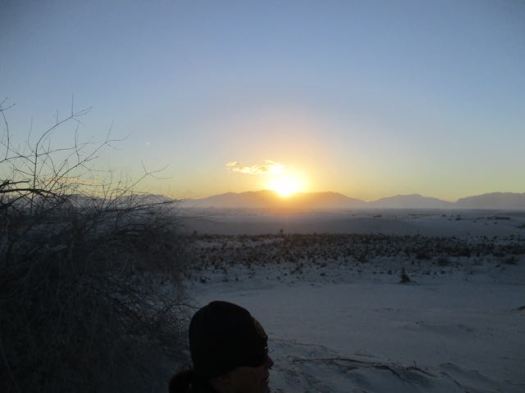
The Ranger noted that any President could remove National Monument status. Potentially this land could be given to the military. 😦
details – Backcountry Camping Trail
There’s a longer (5 mile) Dunes hike called the Alkali Flat Trail. If you want more.
trip report by site editor Rick McCharles
After visiting Carlsbad Caverns I dayhiked nearby Rattlesnake Canyon.

It’s well loved for Spring wildflowers and a variety of cactus. But I was there in January. Not many flowers.
You immediately drop down into a small drainage following cairns. There’s no signage.

Up the other side the trail is well defined.


I love the desert. And it was a beautiful day … though very windy.

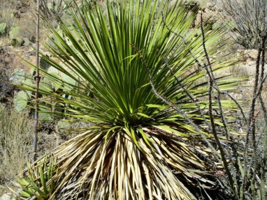


You can go 3 miles out, 3 miles back. Or try to loop via other canyons. Instead I went out about a mile … enjoyed some solitude … then hustled back to my vehicle.
The “unfriendly vegetation” was too often snagging on my favourite hiking pants. It was difficult to avoid.

In the flat desert it’s easy to get lost. Even here close to Carlsbad Caverns and many roads. In 1999 hikers Raffi Kodikian and David Coughlin were lost in Rattlesnake Canyon. Coughlin died.
related – trip report by 160k- Rattlesnake Canyon
Spittal Pond Nature Reserve is the largest wildlife sanctuary in Bermuda …
It is one of 13 parks or reserves managed by the Bermuda Department of Conservation Services which protects and conserves environmentally critical areas and habitats. …
…unique characteristics such as its lagoon which is permanently brackish, ecology featuring wet grassland and mangrove forests, seasonal shorebirds, other waterbirds and European eels. …
The winter season provides one of the best vistas for visitors walking along the many small trails in the park.
I was there in November. The only visitor on the trail.
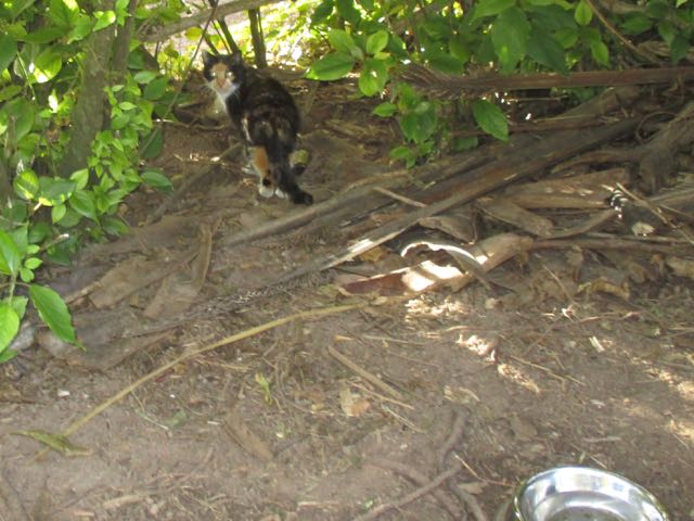
I did see feral cats.
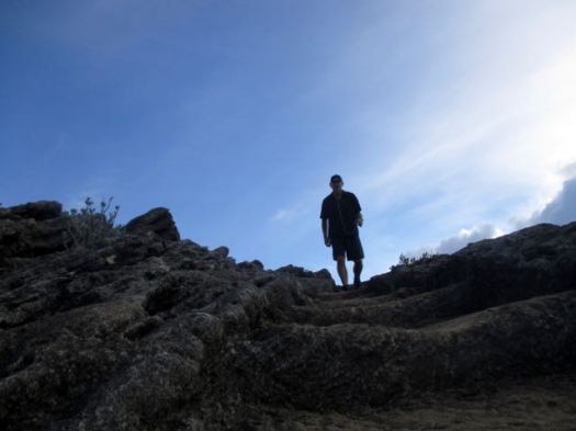
Though short, I would say it’s the best hike in Bermuda.
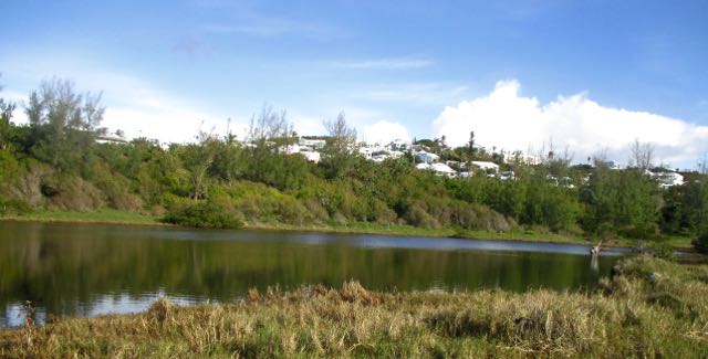
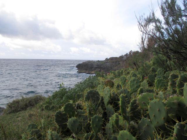
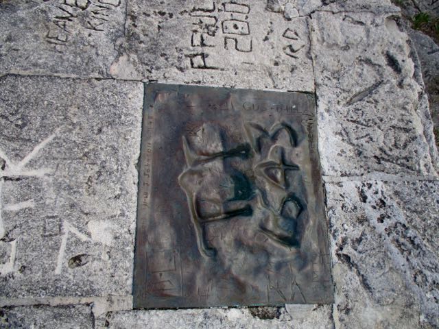
“Spanish Rock”, (also known as “Portuguese Rock”) a rocky cliff overlooking the ocean with inscriptions of the year 1543 AD … This rock piece has been taken out and replaced by a bronze plaque. …
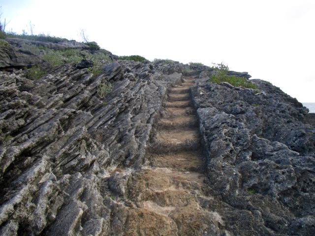
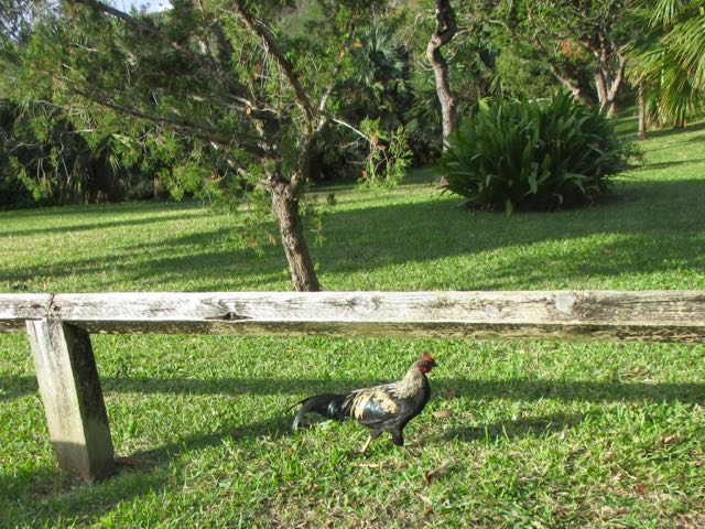
The only other wildlife I spotted were wild chickens.
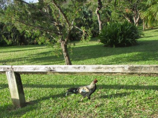
Click PLAY or watch it on YouTube.
Cam Honan:
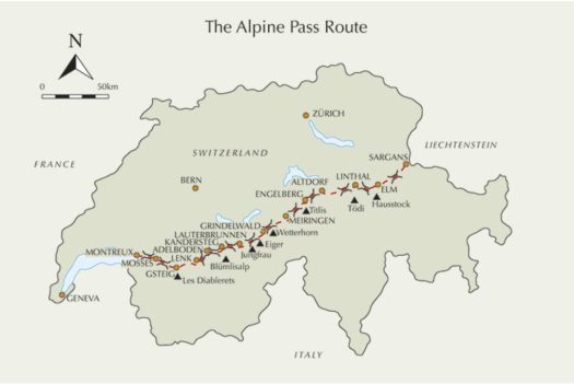
… a 340 kilometre (211 miles) hiking trail that spans the breadth of Switzerland. Starting in Sargans on the border with Liechtenstein, it passes up and over sixteen mountain passes before reaching its western terminus at Montreux, situated on Lake Geneva.
I completed the Alpine Pass Route in August, 1997. Nineteen years and many hiking miles later, it remains one of my favourite European trails. A memorable combination of gorgeous mountain scenery, picturesque villages, great hospitality and some very cool side trips …
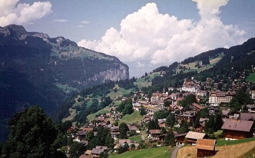
It’s one of our best hikes in Europe.
David Webb:
… Tucked away at the tip of the Yukon, with its base camp set at 69 degrees north and hundreds of kilometres from the nearest road, only a handful of people will ever visit this park. Untouched by the last Ice Age, it’s a place of unique rock formations, abundant wildlife—we saw muskox, caribou, grizzlies and Dall’s sheep—jaw-dropping mountain vistas, clearwater rivers and vast open tundra. …
And the hiking… wow. There was no point in the five days I spent in Ivvavik where Iwasn’t surrounded by an awesome panorama. From deep gorges carved by a frothy river; to tundra dotted with bright lupins; to multi-coloured slate stabbing from mountaintops like the spines on a dragon’s back; to the midnight sun circling the whole expanse like a halo. It is the most beautiful natural environment I have ever seen. (And I’ve seen a lot.) …
Video Post: Jaw-Dropping Ivvavik National Park
Click PLAY or get a glimpse on YouTube.
… to Anaktuvuk, float southwest on the John River, hike west to the Alatna River, float southeast on the Alatna to access the Arrigetch, cross the Arrigetch, float northwest on the Noatak River, hike southwest to the Ambler River, and float west to Ambler. 400 miles in 19 days. …


Click PLAY or watch it on Vimeo.