Trip report by BestHike editor Rick McCharles
Day 1 | 2 | 3 | 4 | 5 | 6
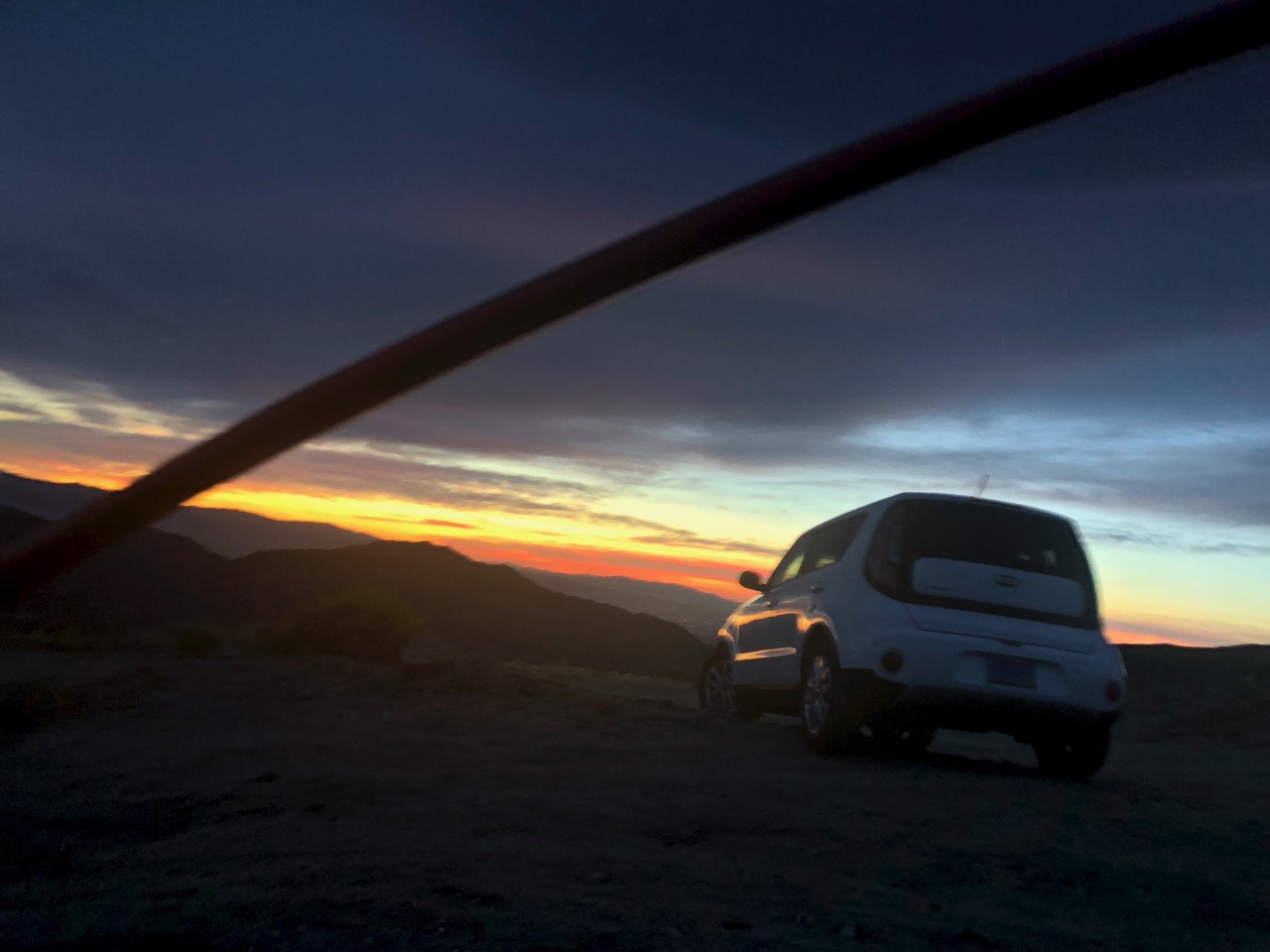
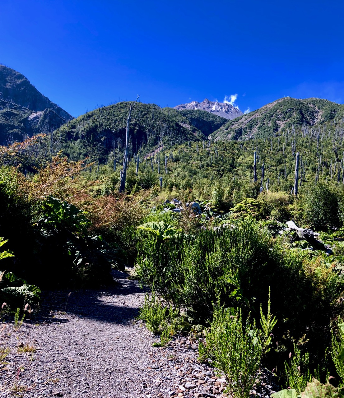
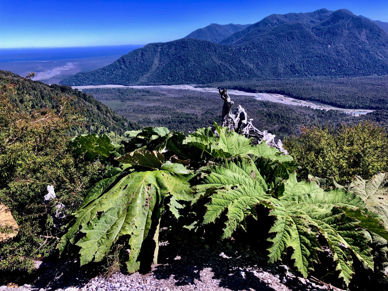
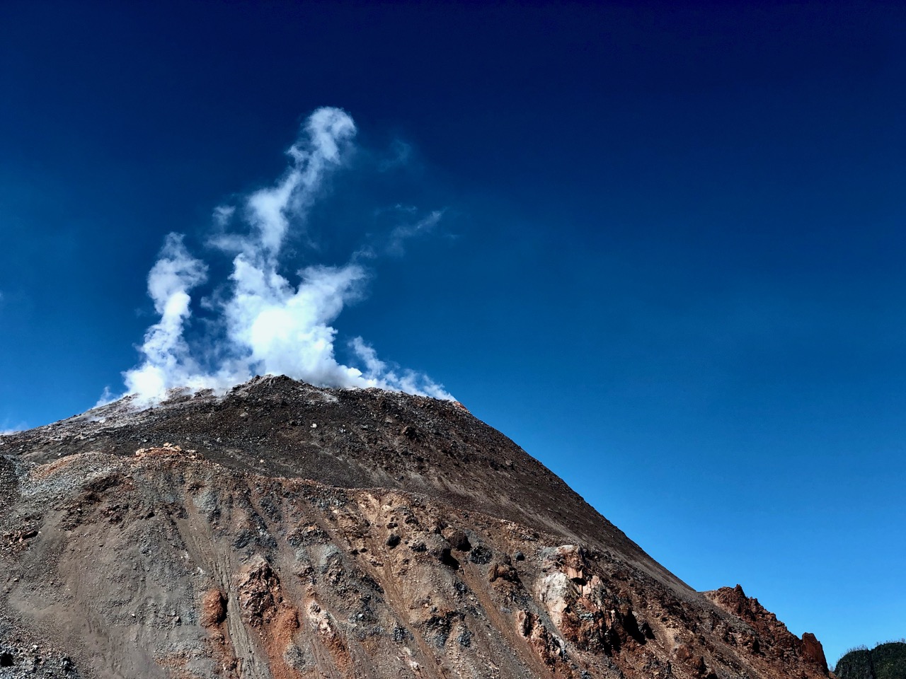
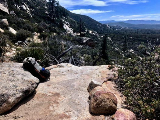
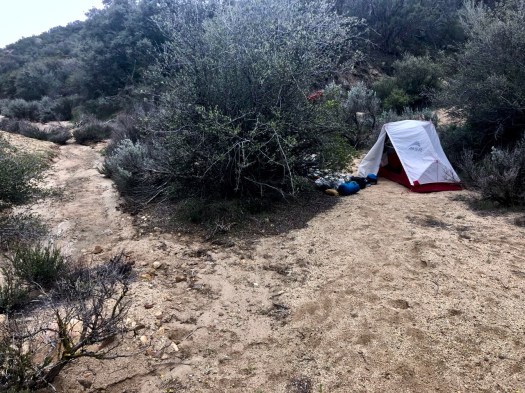
Another fantastic campsite. Great weather again.
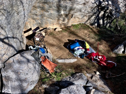
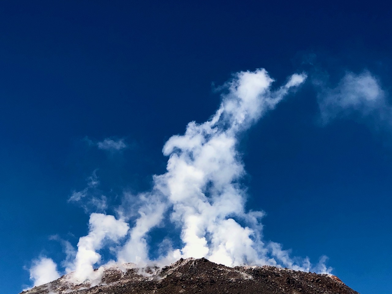
Here are views looking up from my tent.
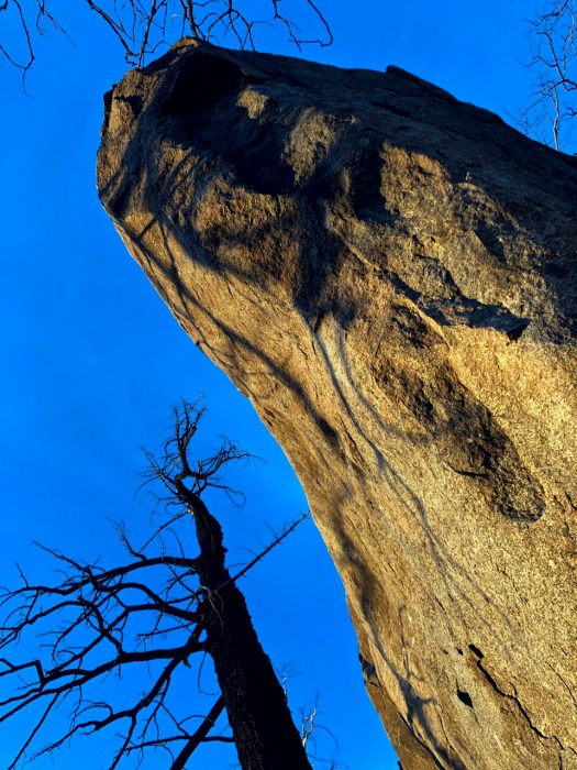
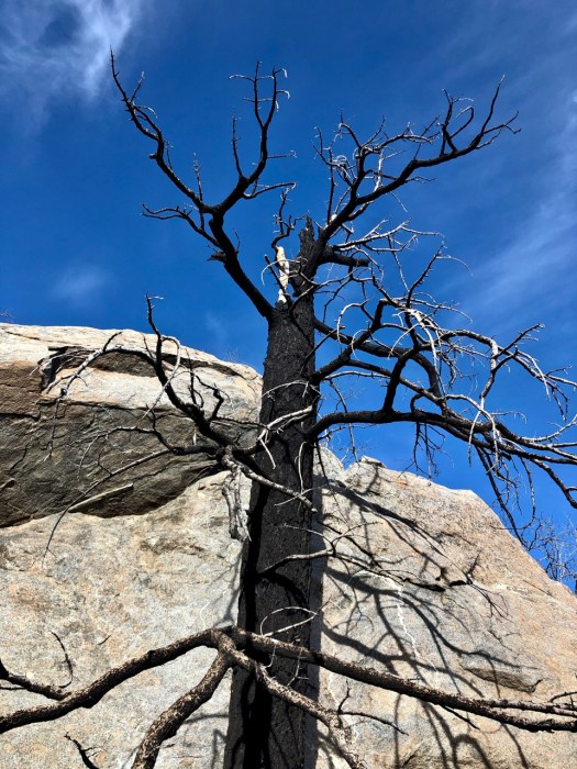
Majestic.
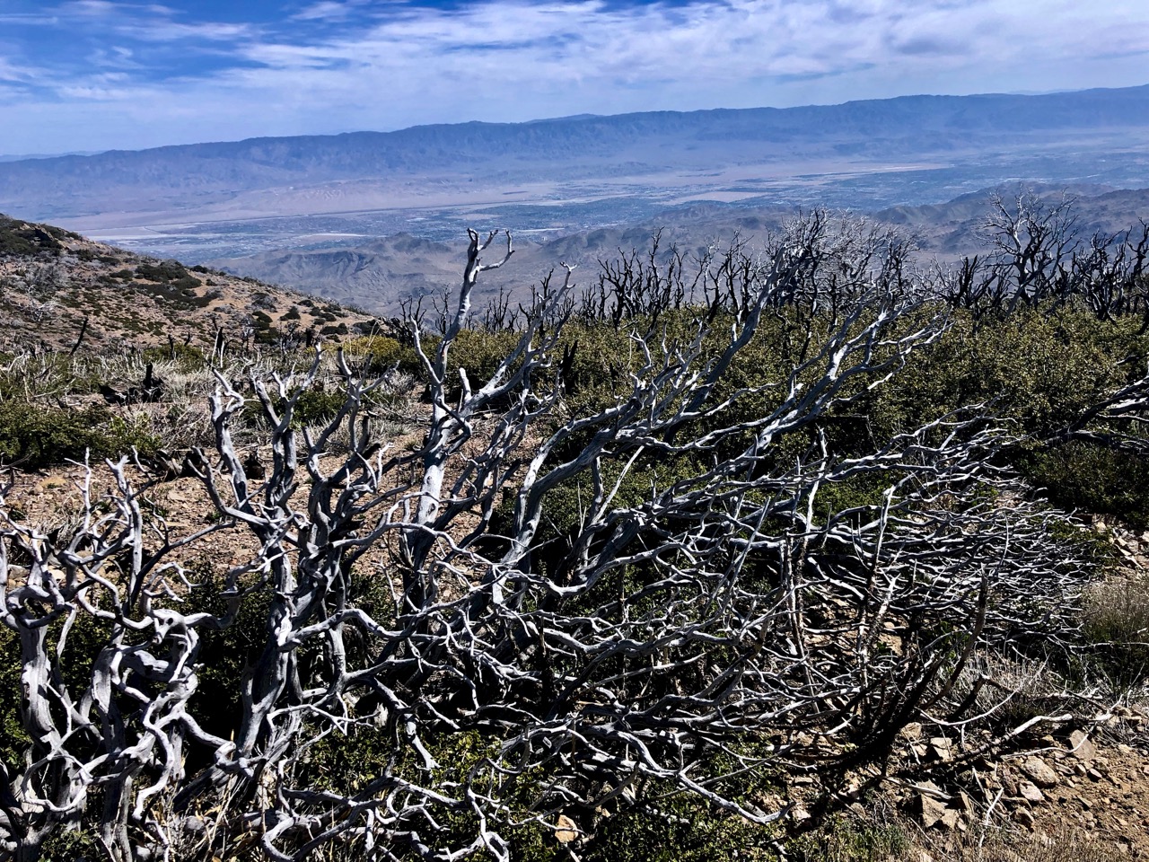
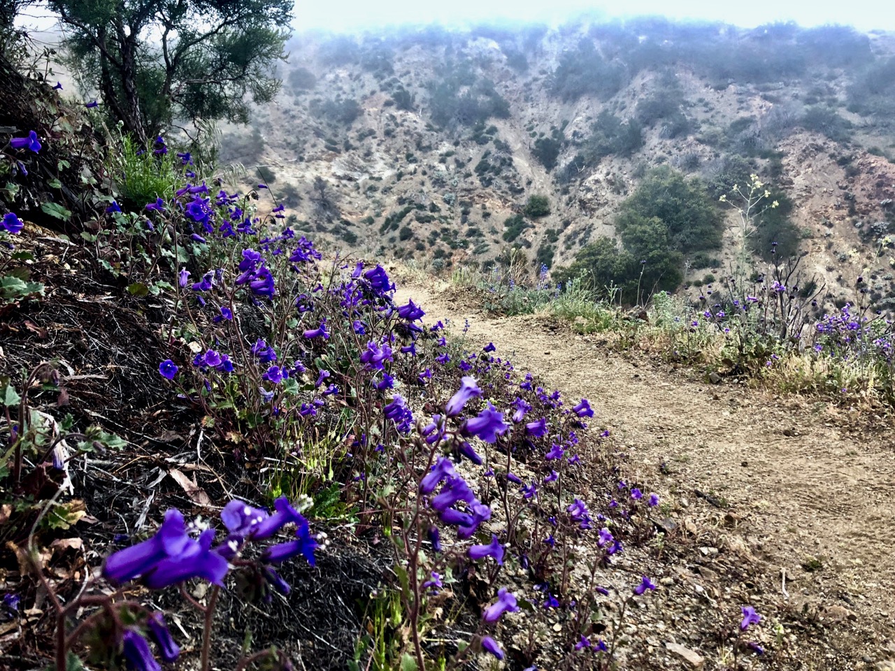
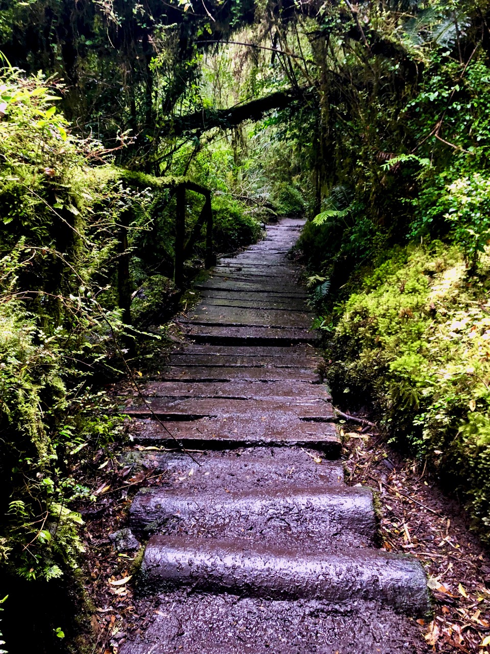
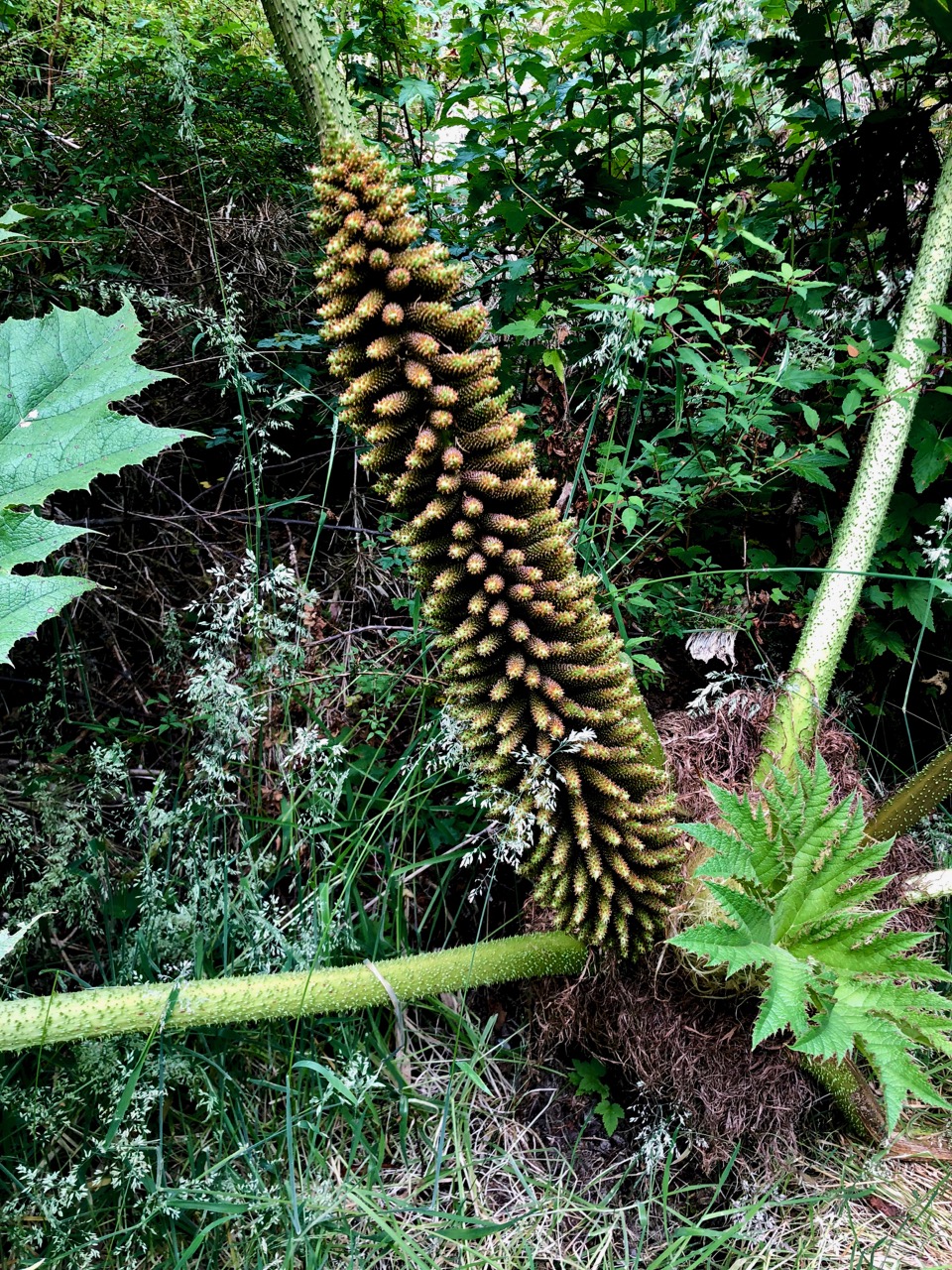
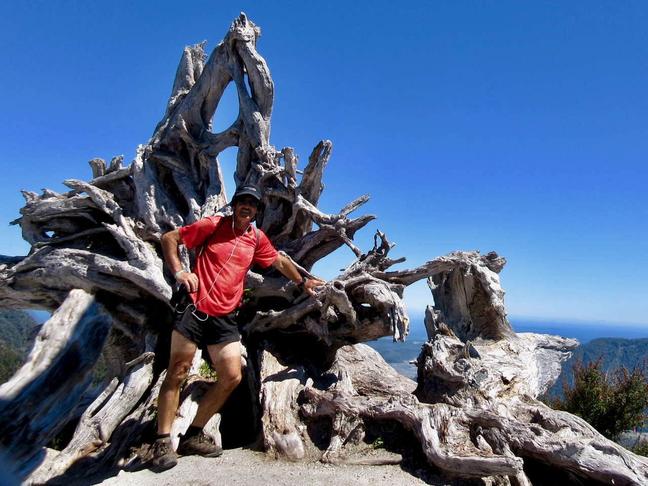
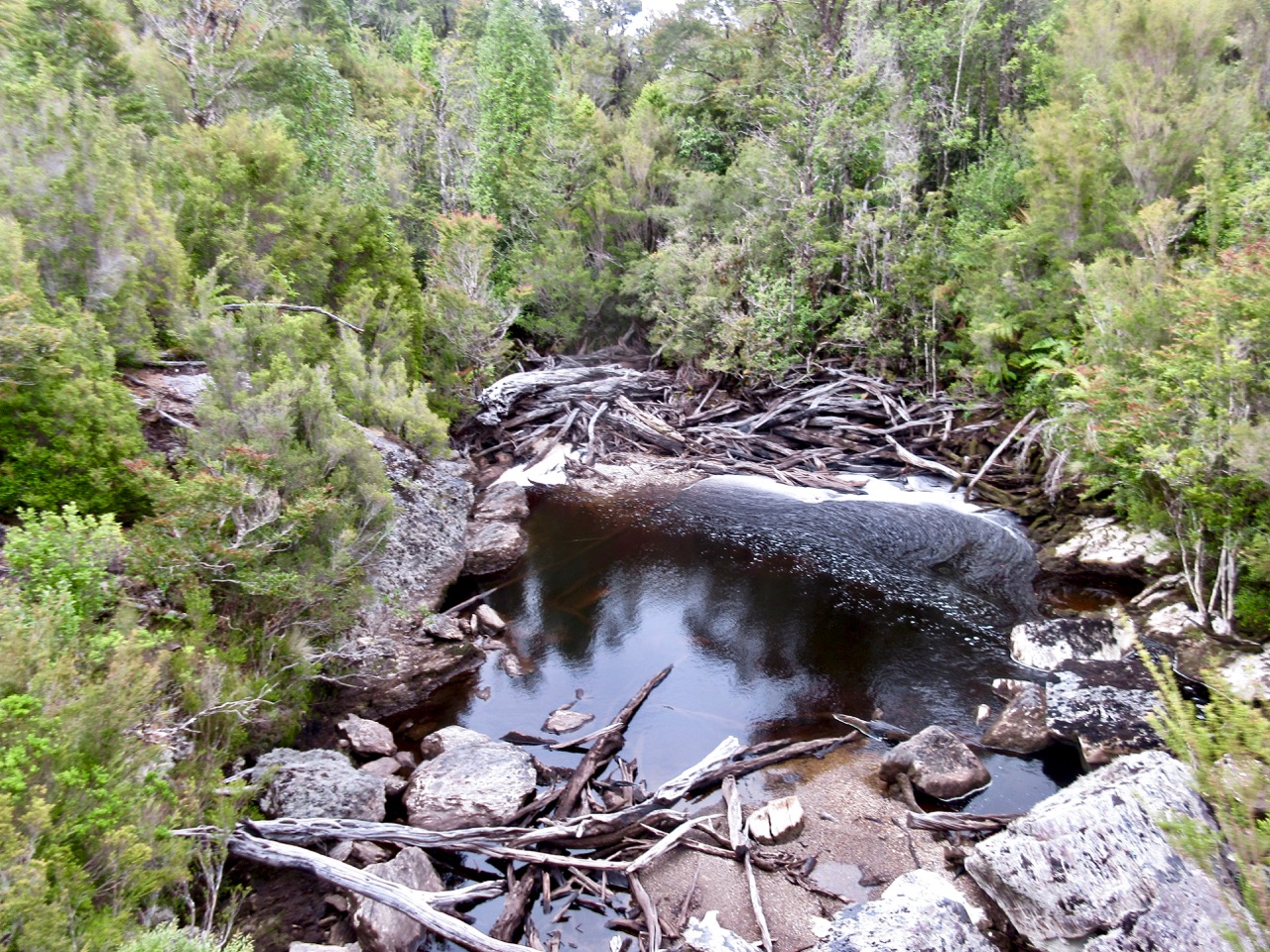
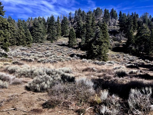
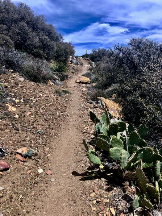
I’d been steadily descending from the snowy heights. Vegetation now changing rapidly.

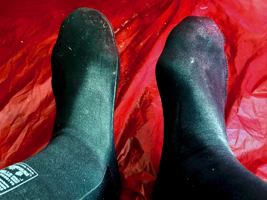
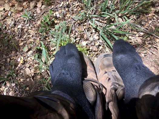
My only health worry was hot foot. Would I get blisters?
Just in case I took off the shoes every hour or two.
I’ve used the same pack for many a year – the super light frameless Granite Gear Virga 2.
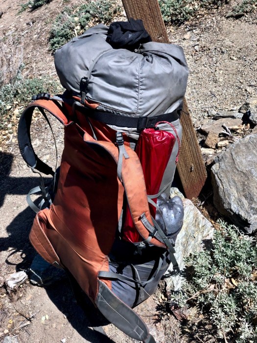
The similar Granite Gear Crown2 is the 5th most popular on the PCT. My next pack will be a Hyperlite, the 3rd most popular. It’s heavier but near waterproof. And more durable, I reckon.
Cactus.
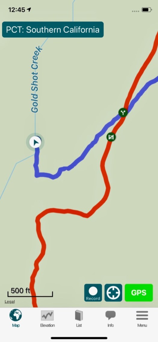
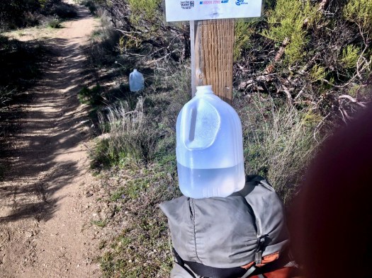
Here’s one of the main reason people buy the Guthook app — to find off-trail water in the desert.
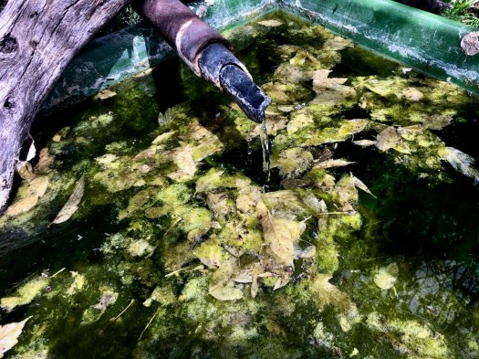
Though I treated this pipe water, it did look and smell great in April.
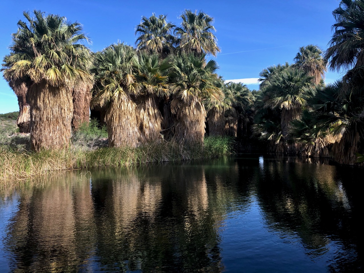
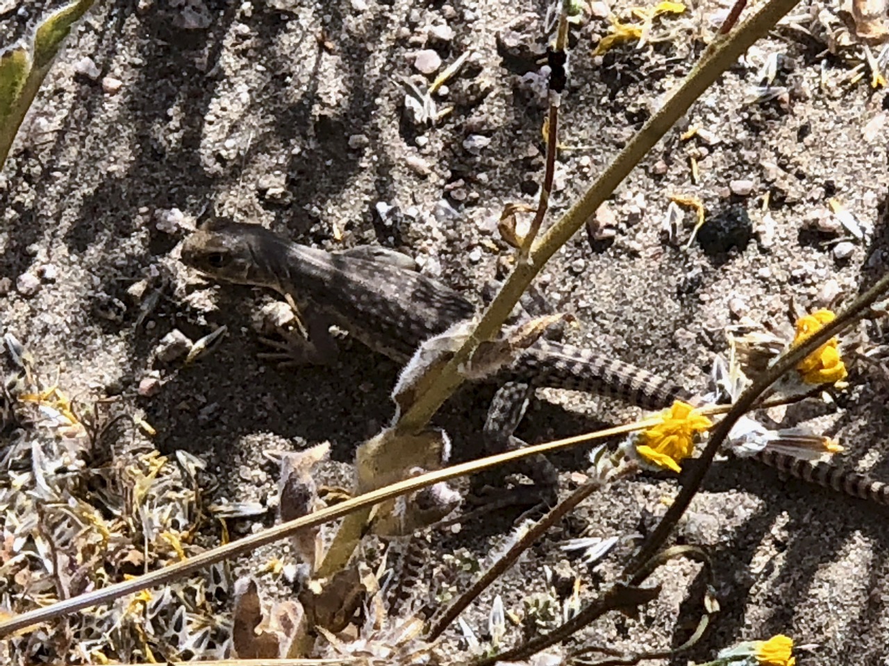
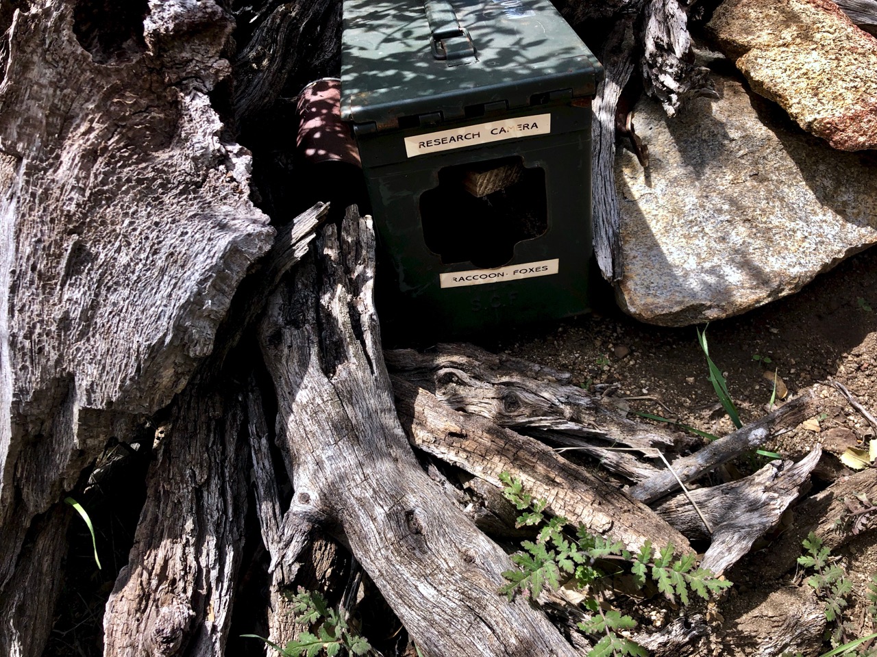
Water is scarce. Researchers use watering holes to check on the health of mammals in the area.

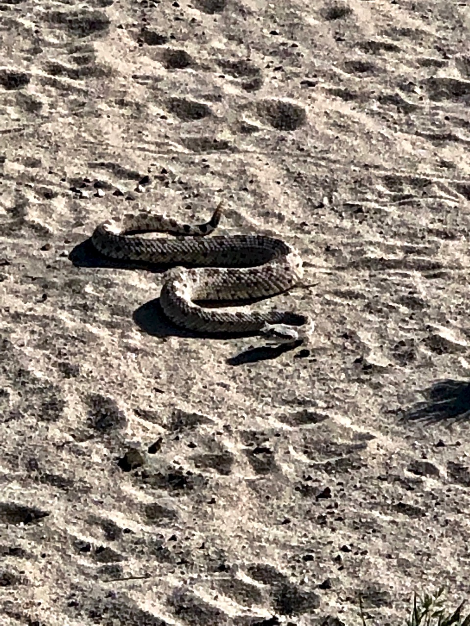
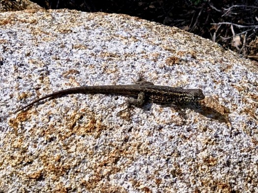
Successful in the desert are birds, snakes and lizards.
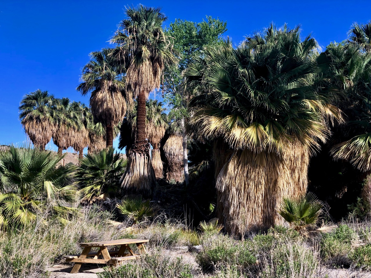
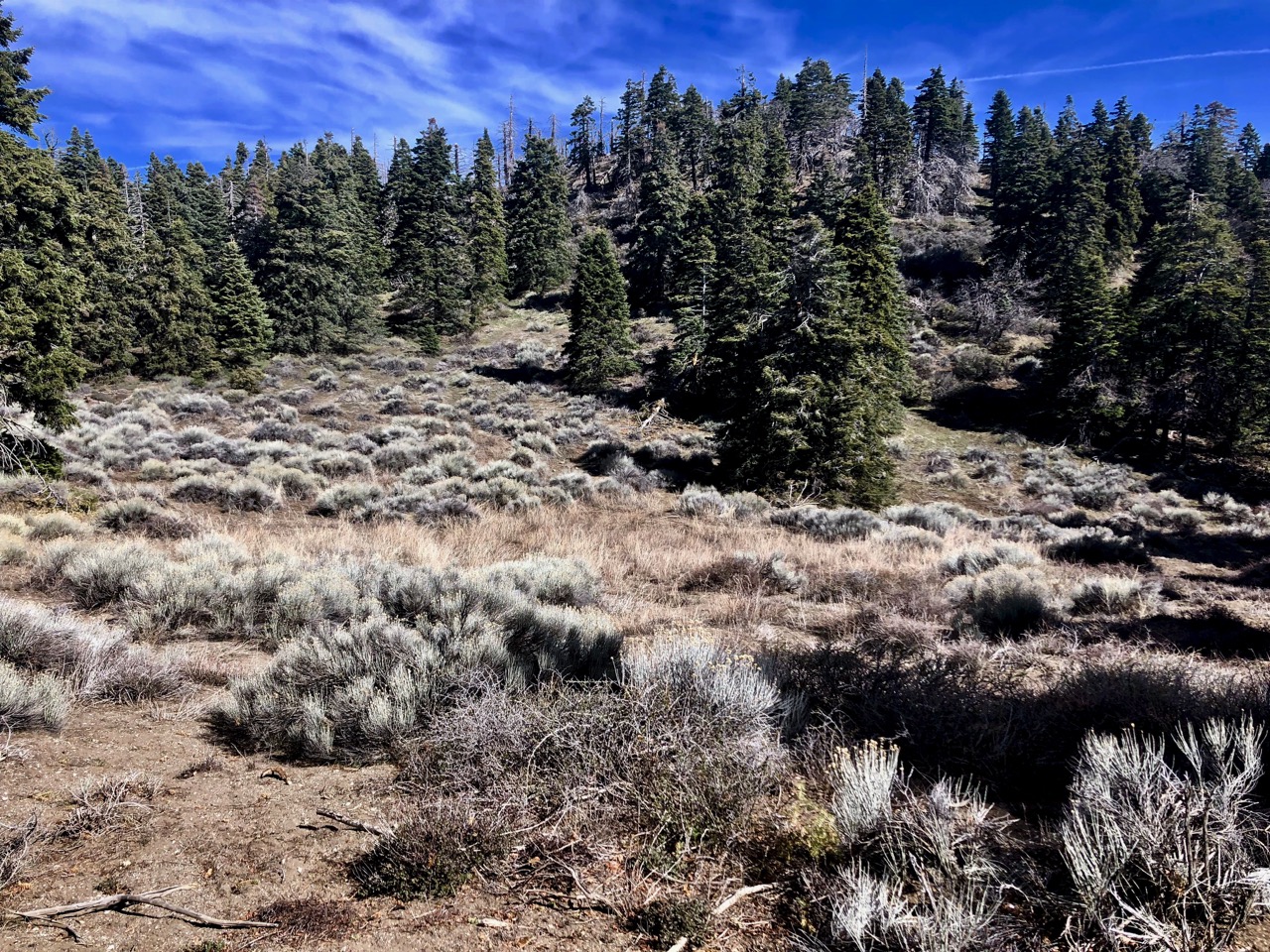
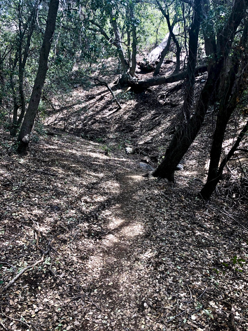
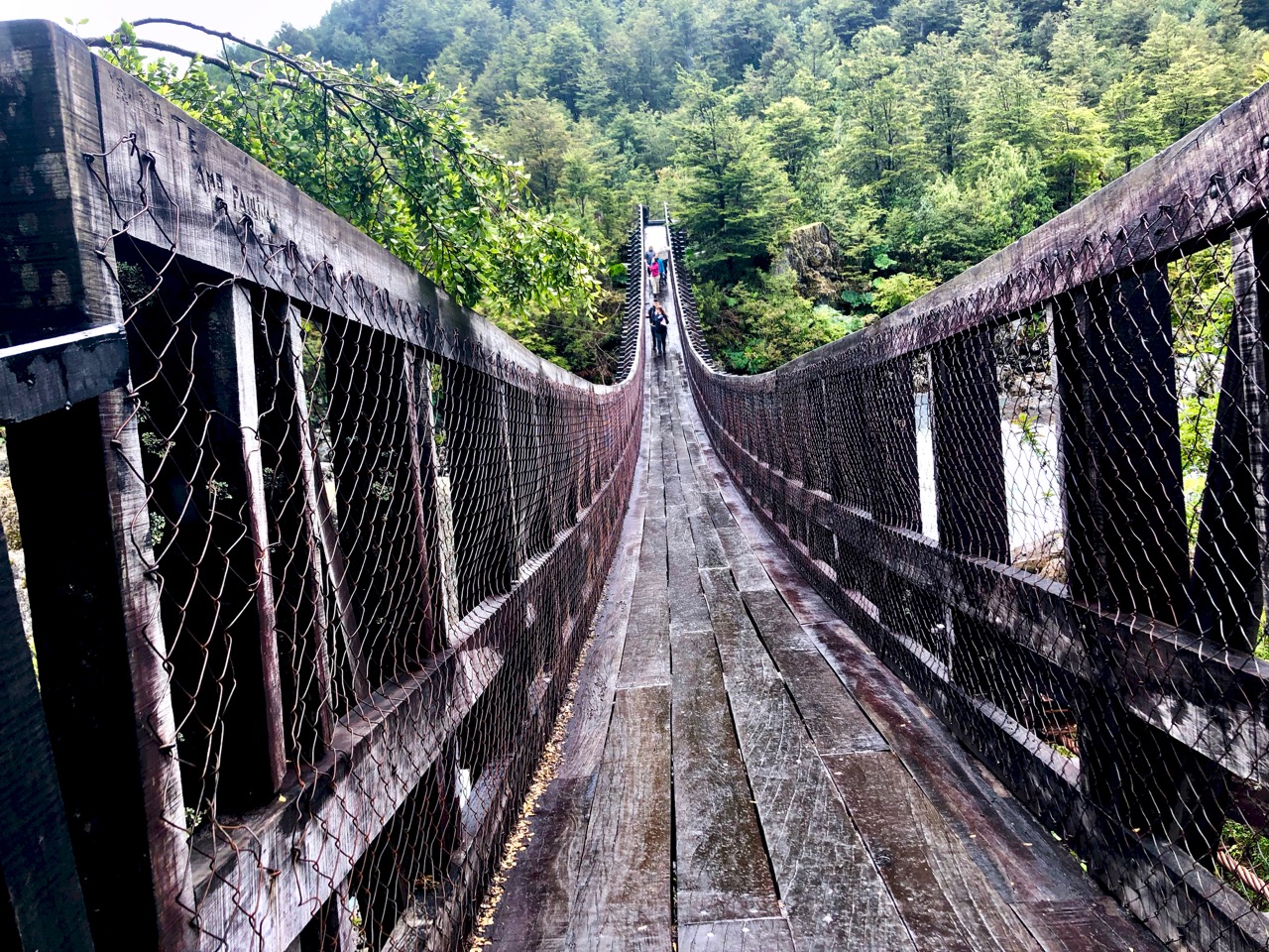
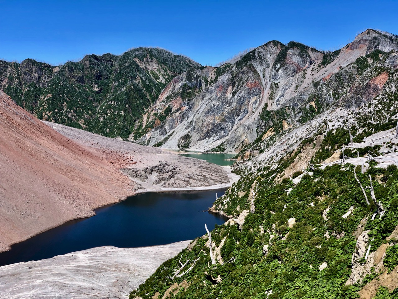
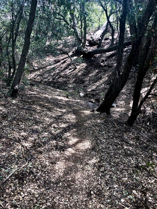
Down, down.
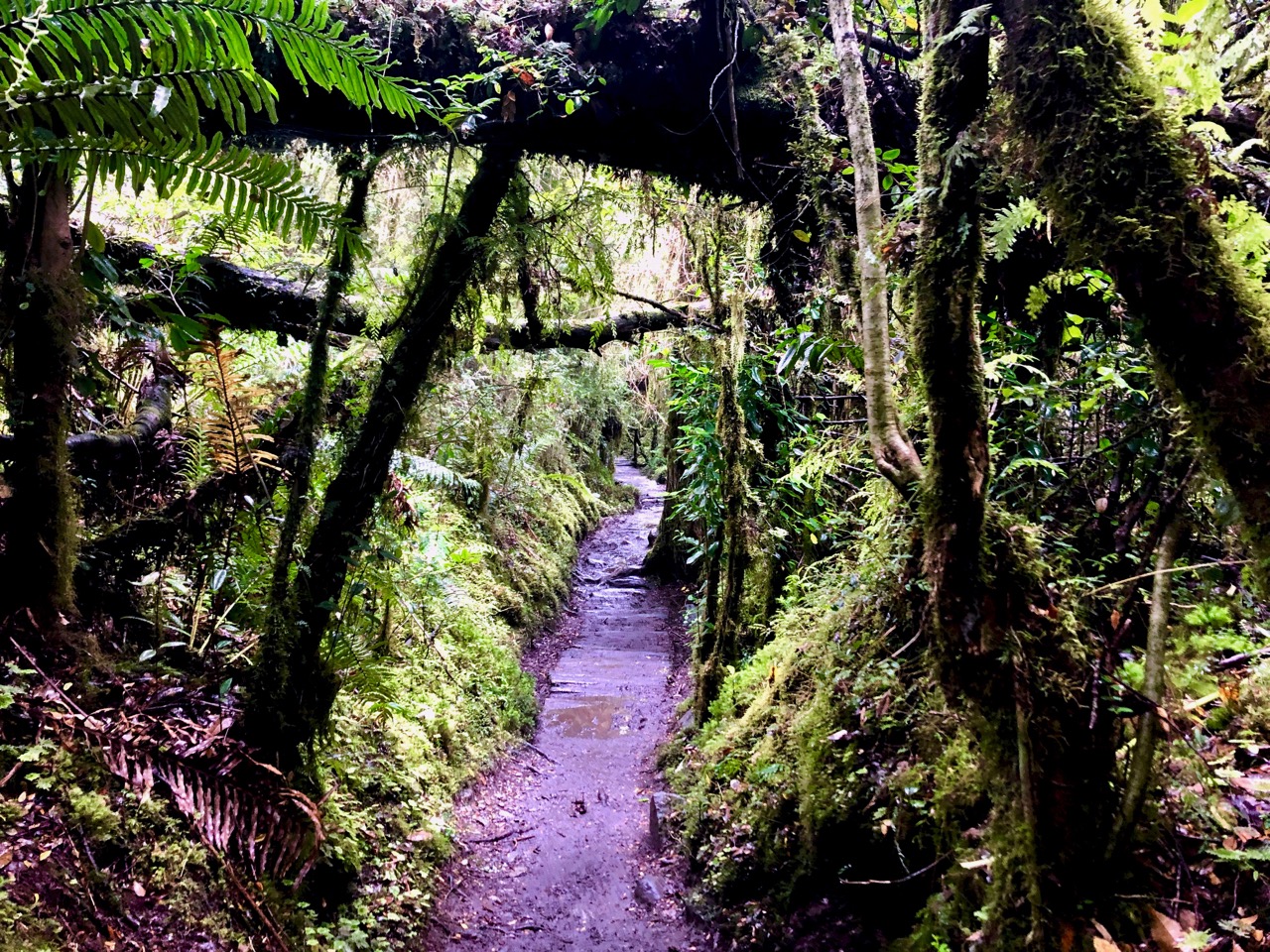
Into the trees.
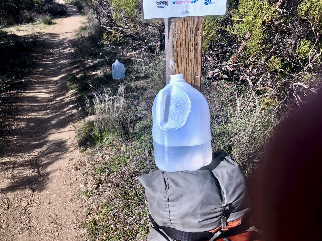
Here’s where PCT hikers often get their water. GIFTS from Trail Angels.
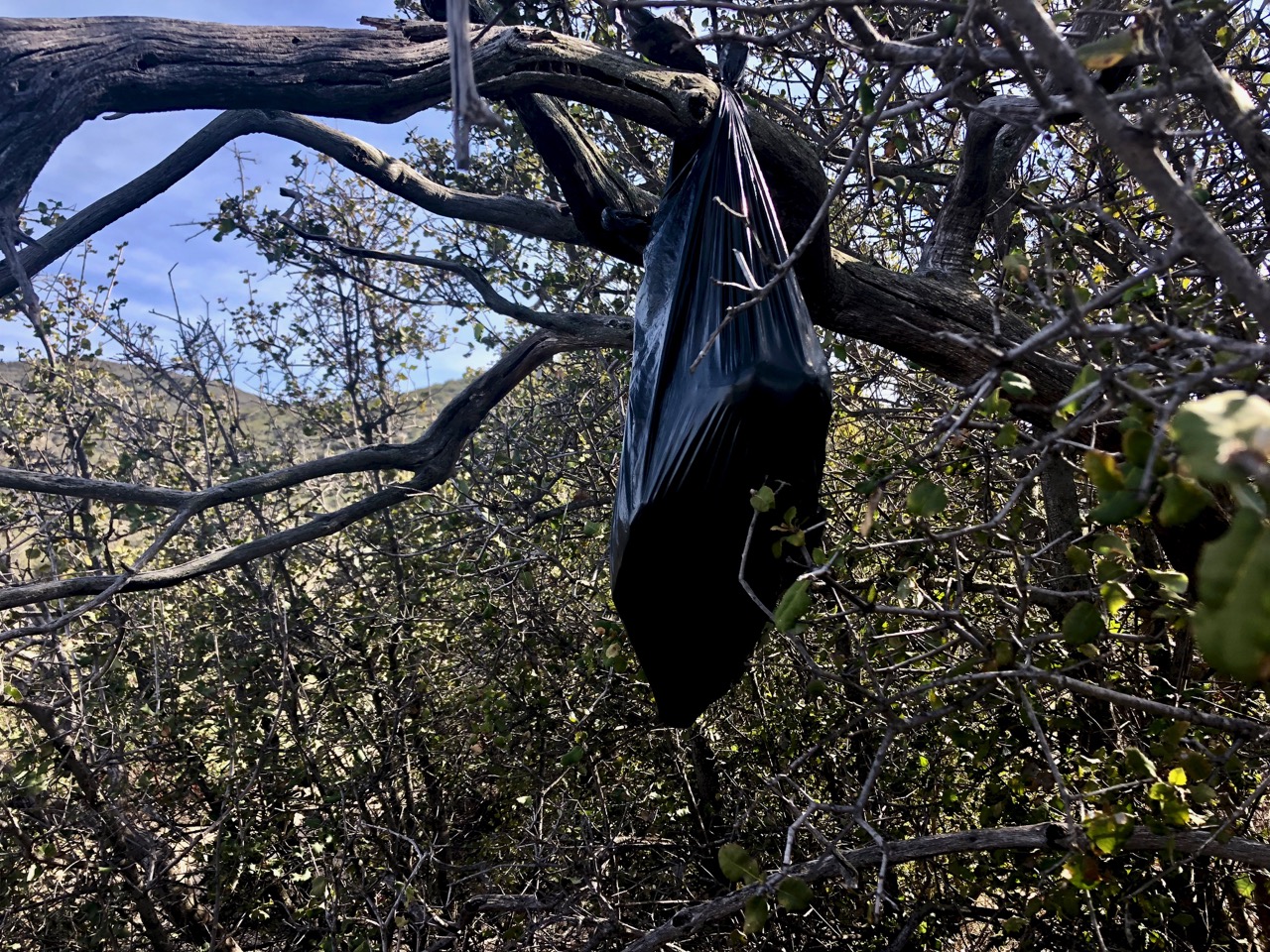
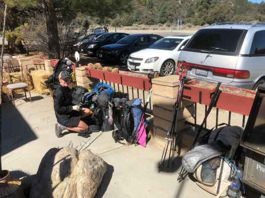
I finally reached the first road. Would the mini-resupply I’d hung in a tree still be there?
YES!

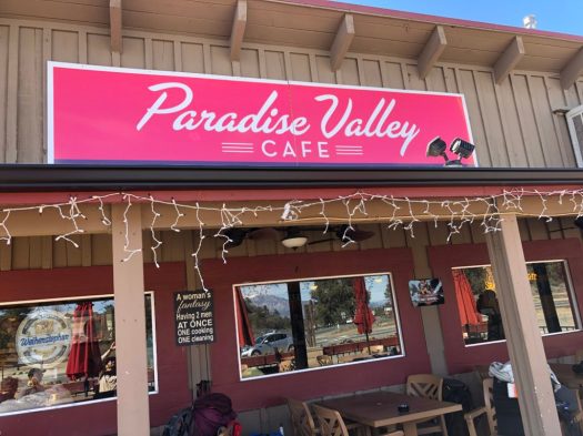
I had enough food for the final 40 miles to Warner Springs. Yet I diverted one mile down the highway to famed Paradise Cafe.
My camp fuel was running low. I didn’t think I could make it two more days.
Unfortunately Paradise does not sell camp fuel. I returned to the trail hoping my Jetboil Flash would run on fumes.
Back on the PCT, I made it another couple of miles.
It looked like wind and rain so I set up my broken tent high enough in the wash to avoid flash flood.
As I feared, my stove fuel ran out before I could boil water for dinner. 😞
___ day 7
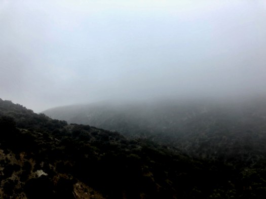
Weather forecast for today was for rain and very big winds. Not good.
I started south. Stopped. Then turned around and headed back towards Paradise.
Skipping the next 40 miles meant missing most of the desert wildflower bloom. Too bad.

Three reasons for quitting on my intended route:
- broken tent
- no stove fuel
- weather forecast
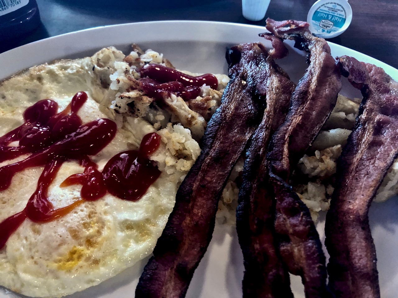
The restaurant was packed. As usual.
I ended up seated with a tourist couple from Philly. As they were headed for Palm Springs I offered to pay for breakfast in exchange for a lift to town.
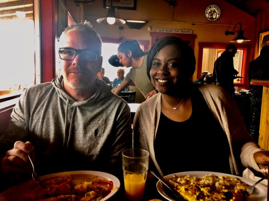
My PCT week was over. After breakfast.

Despite glitches — I really enjoyed hiking southbound on the PCT during peak season. The highlight was seeing hundreds and speaking with dozens of normal people whom — for one reason or another — wanted to try to hike from Mexico to Canada.
They are inspiring.
Day 1 | 2 | 3 | 4 | 5 | 6