Trip report by site editor Rick McCharles.
Easy day. Only 12km to finish the Giant’s Cup Trail at Bushman’s Nek Hut.
I departed Swiman hut late.
Glorious. Glorious.


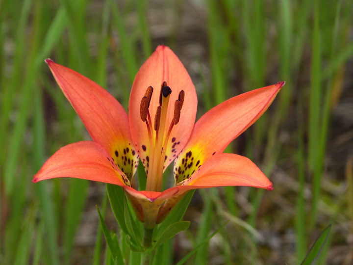
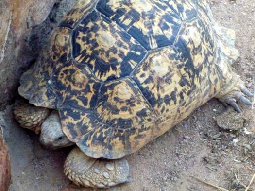
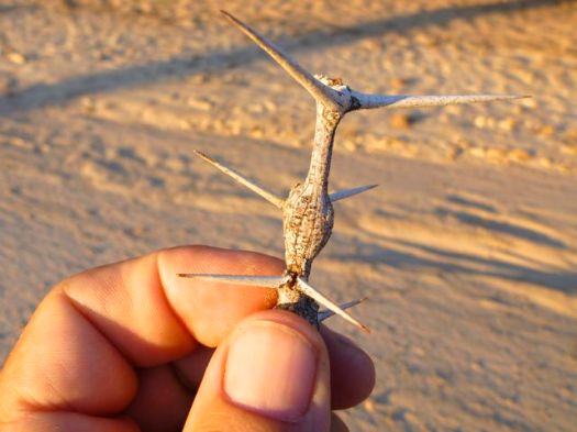
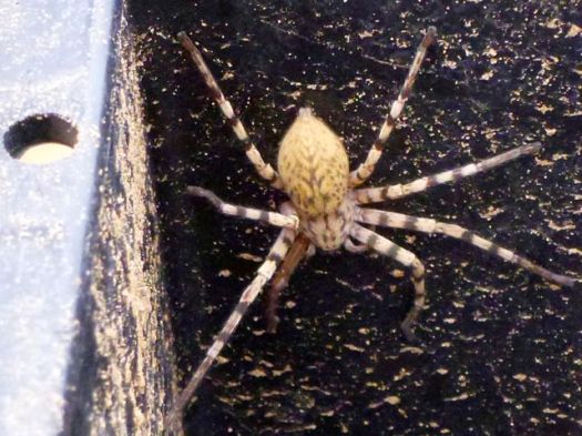
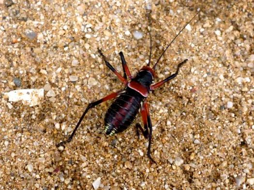
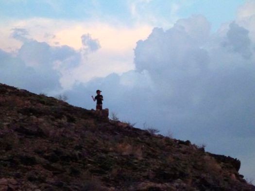
Skies were clear. The landscape empty aside from me. And THIS GUY.


I later did some research … but couldn’t confirm the species. Leave a comment if you know.
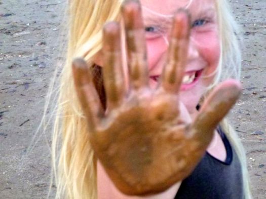
Again, each time I got saw some significant shade, I cooled off.

This crude wooden bridge had obviously flooded recently.


BABOONS!
This afternoon I saw 4-5 different troops of Baboons in the distance.

This was my best photo.

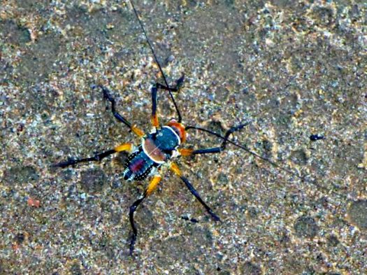
DUNG BEETLE! … Actually, there are plenty of Dung beetles on this trail.

Frog.

I had great views of a big herd of Eland.

And again saw grey rhebok.
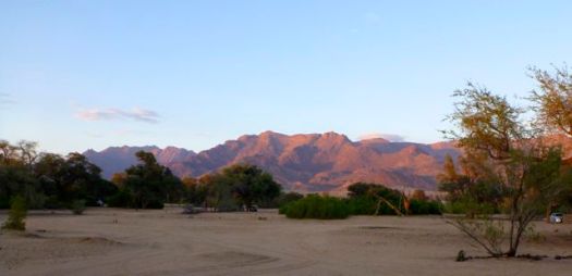
South Africa is a hot, dry country. But there’s no shortage of water in the Drakensberg during the rainy season.

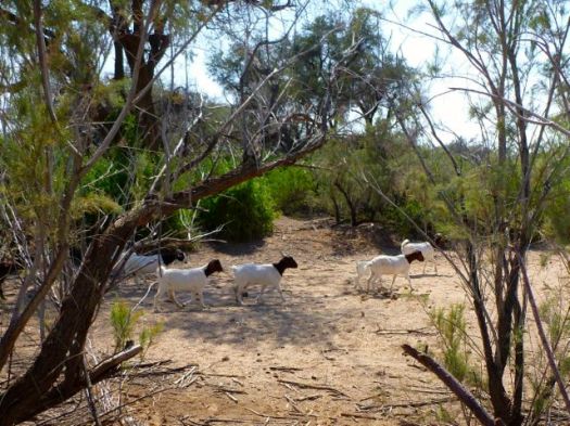
Civilization.

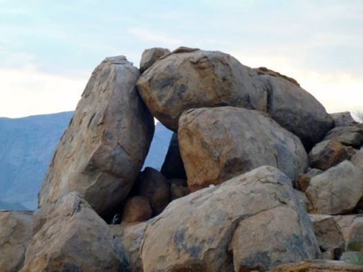
I’d held on to a Summit Stone for the entire trip, waiting on some “highlight” of the Giant’s Cups Trail.
 But there was no one highlight. The Giant’s Cup is all good. I left this one in the final cairn before dropping down to Bushman’s Nek.

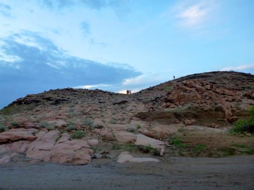
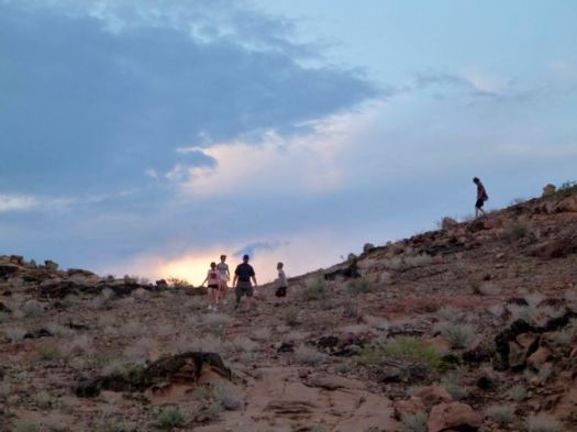
I saw a sign pointing to Bushman’s Nek hut, but ignored it as the trail looked faint.
Instead I stayed on the trail more trodden.
Turned out that took me to the KZN Wildlife office. I had to backtrack about 1km in the rain.
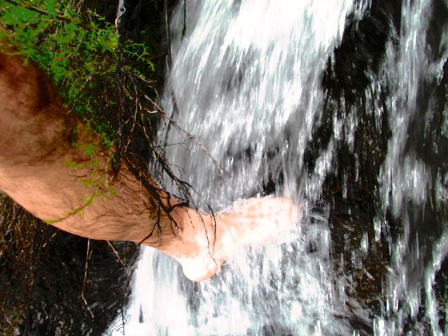
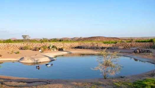
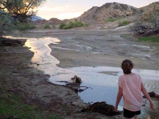
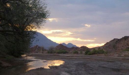
Alone again. Bushman’s Nek hut is in a very pretty location.

It was nice to wash my dusty, hot feed in the nearby waterfall.
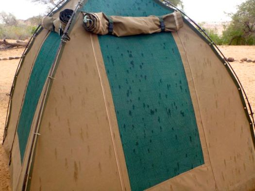
Rather than sleep under a roof, I again set up my tent under cover. And watched the night fall.


more photos from this day
___
Logistics
Next morning the KZN Wildlife office called a bush taxi from a local hotel. It took me to Underberg town for about $50 (expensive).
I was there for about 4hrs waiting for the mini-bus to Pietermaritzburg to fill. Though tourists are often advised not to take the local transport, in Underberg they are fairly used to shuttling hikers out from the Giant’s Cup.
You might consider starting at Bushman’s Nek and hiking to Sani Backpackers or Sani Pass Hotel. Travel logistics would be easier and cheaper if you don’t have your own vehicle.
If you wanted to hire a guide, I’d recommend booking through Drakensberg Adventures.
related:
• EKZ’s Giant’s Cup Trail page
• my hiking guidebook – Cicerone Walking in the Drakensberg


 Ascending next morning, the valley looked to be narrowing further.