trip report by site editor Rick McCharles

The highlight was seeing 2 resplendent quetzal. Another Canadian saw 4 the same day. May is breeding season.
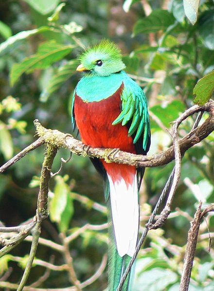
… The “song” is a treble syllable described as kyow or like “a whimpering pup”, often in pairs, which may be repeated monotonously. …
It was something closer to a puppy whimper than a kitten’s sound.
… classified as near threatened on the IUCN Red List due to habitat loss. …
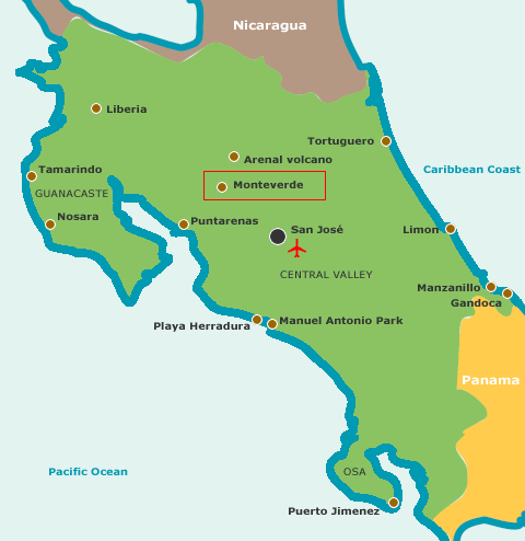
The Monteverde Cloud Forest Reserve (Reserva Biológica Bosque Nuboso Monteverde) … founded in 1972 … visited by roughly 70,000 visitors a year. …
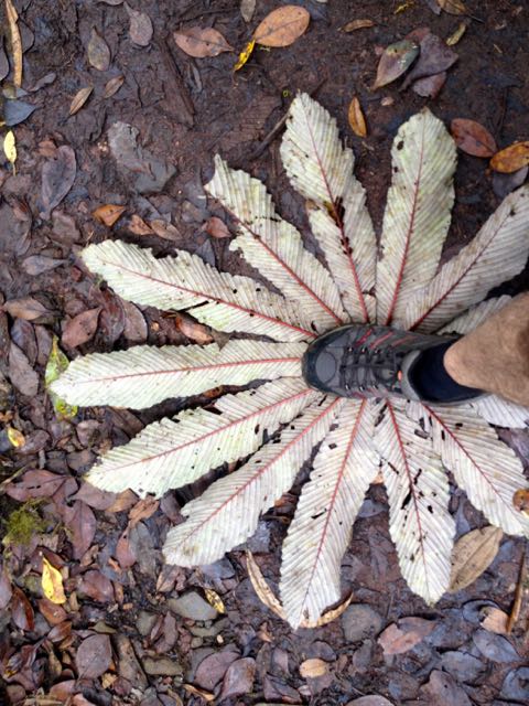
… extremely high biodiversity, consisting of over 2,500 plant species (including the most orchid species in a single place), 100 species of mammals, 400 bird species, 120 reptilian and amphibian species, and thousands of insects, has drawn scientists and tourists since. …
I hiked all the trails in less than 4 hours. A number were closed. They looked to me to be closed permanently.

I did take one of the closed trails for a few hundred metres, just to compare. It seemed about the same but without trail maintenance.

For lunch I propped myself up against my pack under a giant tree. And enjoyed it so much that I left behind a Summit Stone.

A second highlight was the bridge through and above the forest canopy. Dangling plants living only on “air” are amazing.

Cost for entry in 2015 was $20 for a foreign adult. Locals consider that high compared to a similar experience in the other reserves.
On the other hand, this is the only official local hiking area that reaches the continental divide.

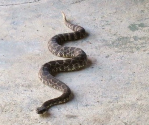
Though you are not likely to see any animals … (I saw only one mammal fleetingly) … I recommend this hike.
Transportation between San Jose and Monteverde is relatively painless. You can easily get to the Arenal volcano, as well.
I recommend it. Monteverde Cloud Forest Reserve is one of the best hikes in Costa Rica.
more photos