Markha trek, Ladakh – day 3

trip report by besthike editor Rick McCharles

day 0 | day 1 | day 2 | day 3 | day 4 | day 5 | day 6 | day 7 | info page

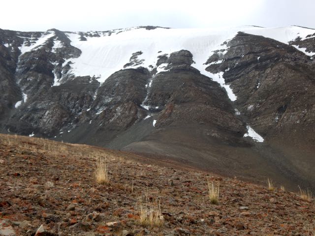
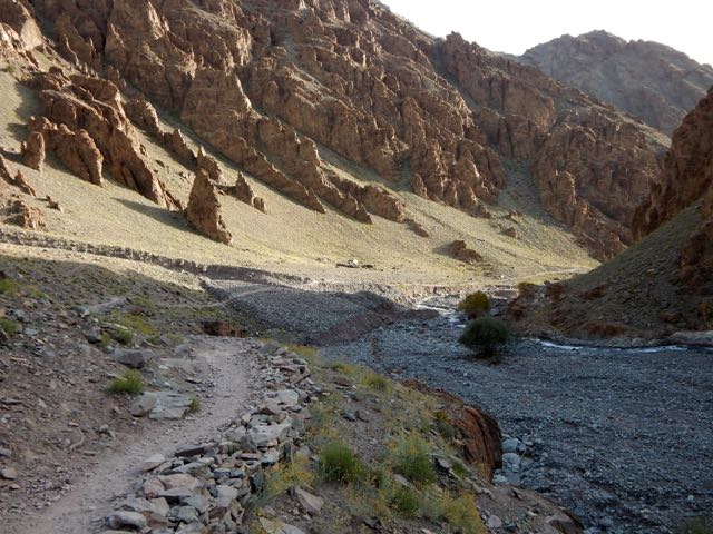
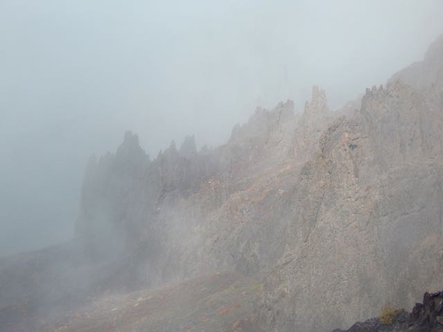
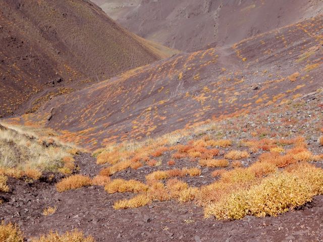
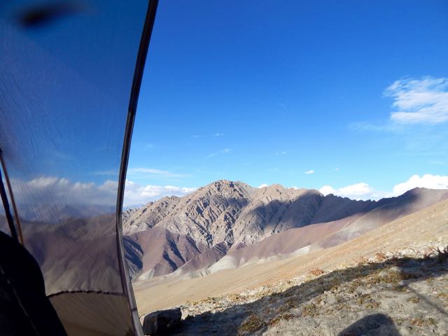
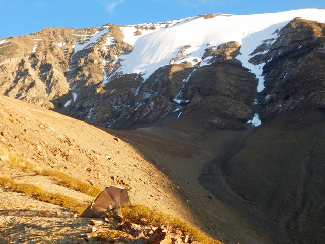
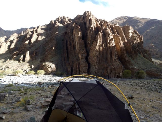
I had a peaceful night camped above 5000m close to the rocky face of the big mountain – Stok Kangri.

DSCN2888

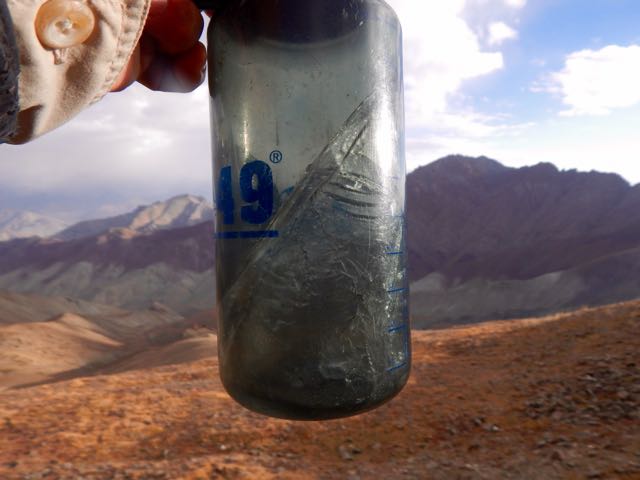
What little water I had left was frozen.

DSCN2886

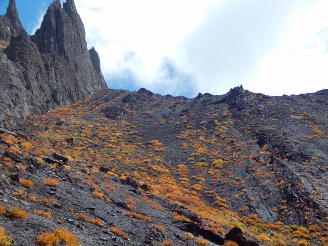
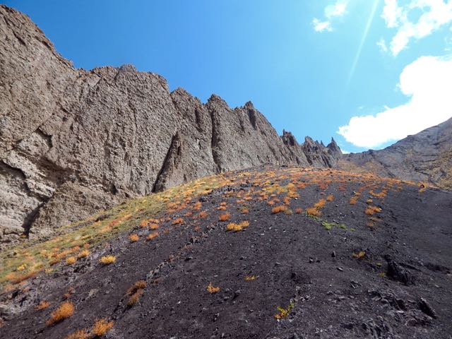
My challenge today was to scramble “Rick’s ridge” back to the trail.

DSCN2885

DSCN2887

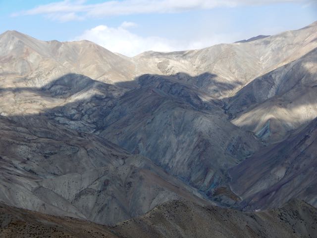
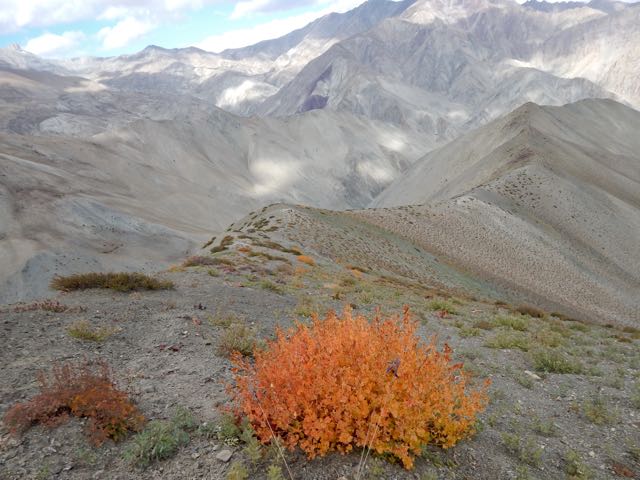
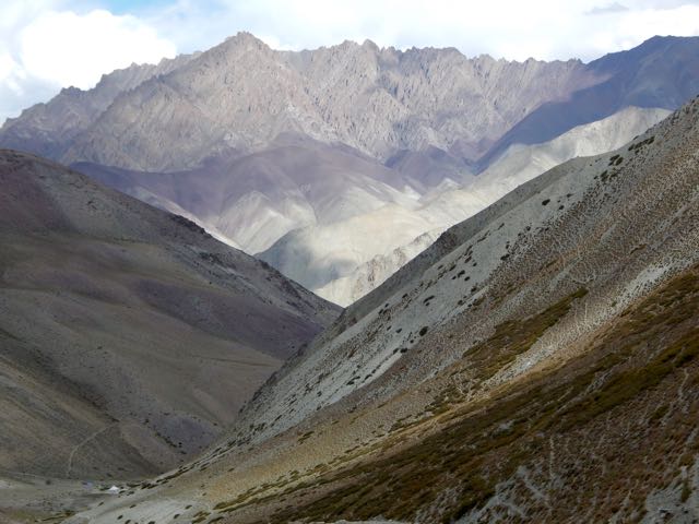
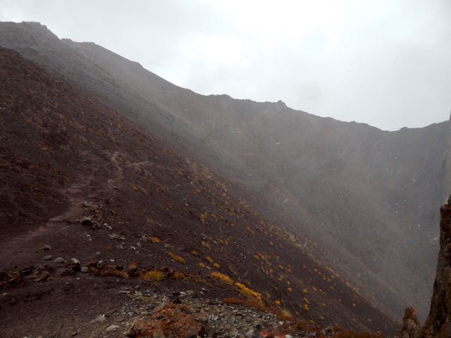
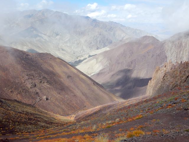
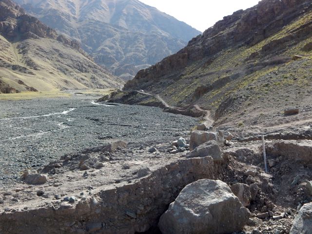
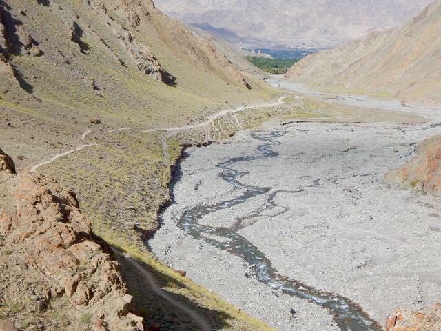
You could say I was lost. On the other hand, I could see the official route many kms below.

DSCN2897

DSCN2896

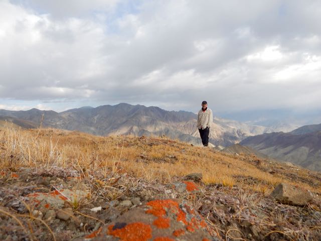
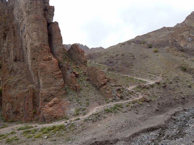
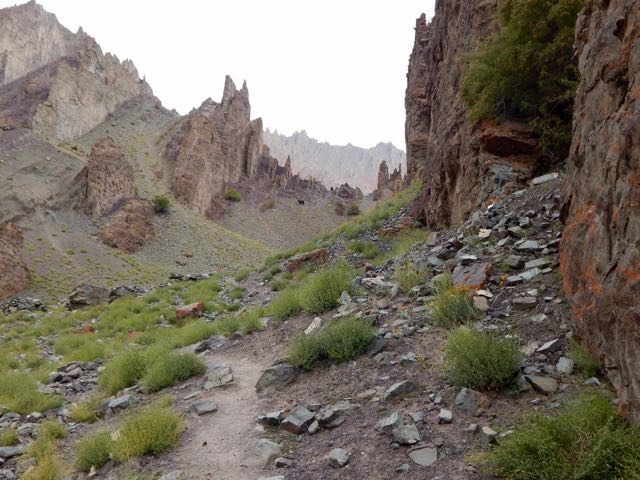
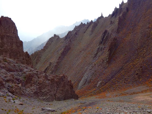
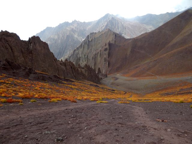
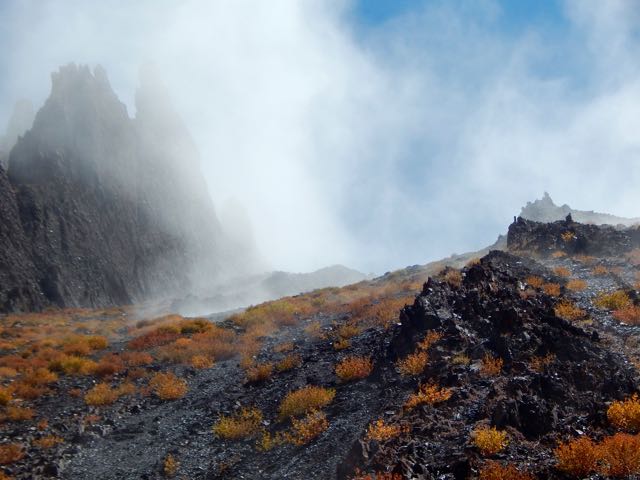
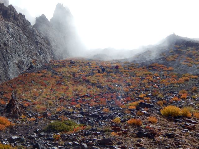
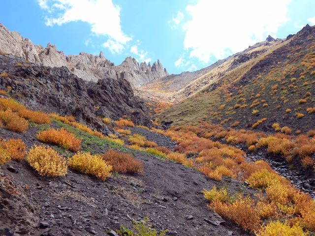
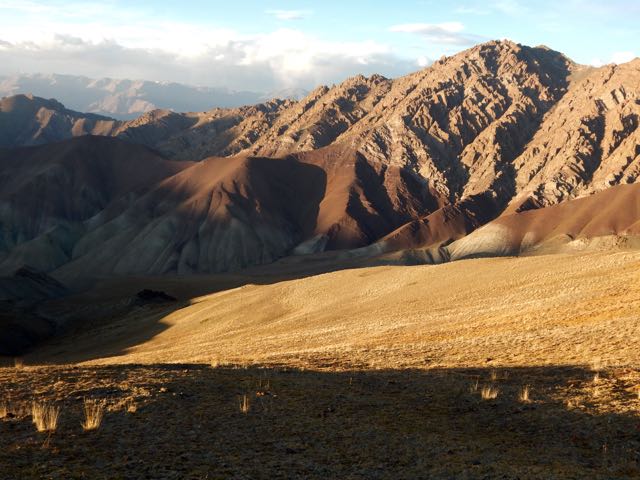
In fact I loved the ridge walk. One of the highlights of the week.

DSCN2903

The only difficulty was the last scramble down to Rumbak 3847m.

DSCN2902

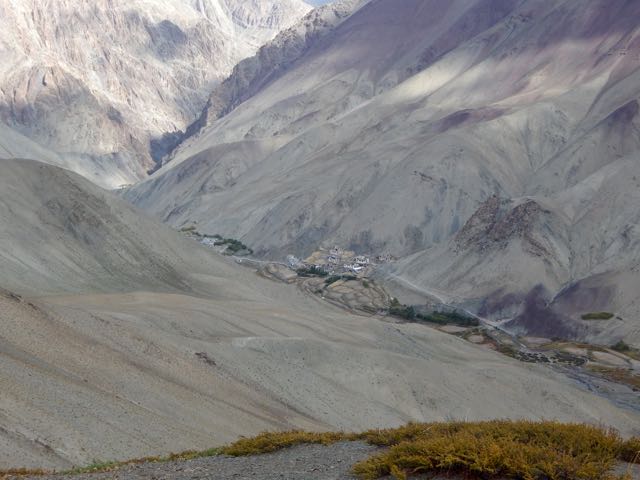
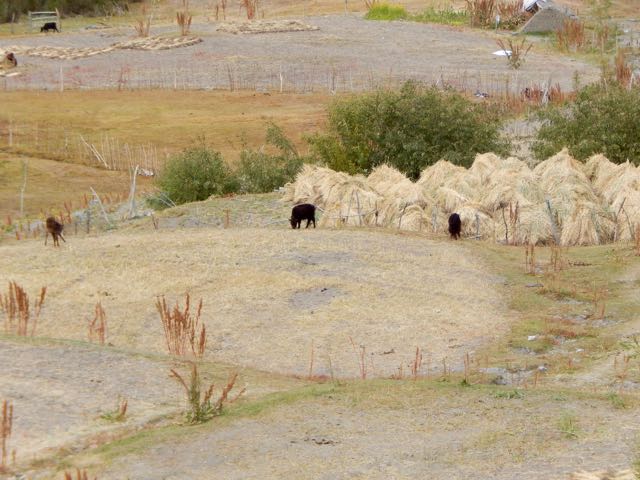
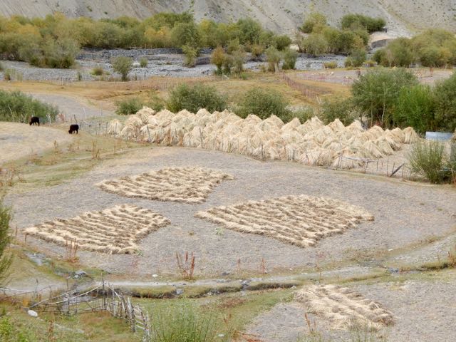
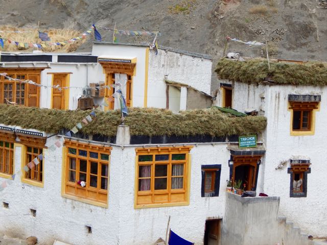
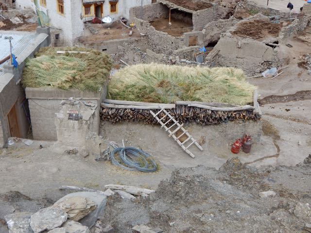
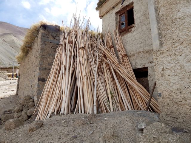
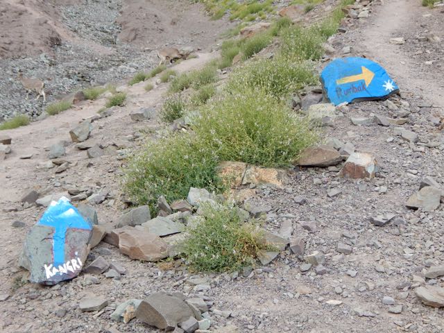
Rumbak turned out to be a pretty, interesting town. Everyone getting ready for winter.

DSCN2913

DSCN2918

DSCN2919

DSCN2921

DSCN2924

Feed. Wood. Fuel.

DSCN2922

These contraptions are used for melting snow.

DSCN2925

These are used for gates and fences.

DSCN2927

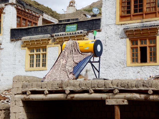
They use some solar power in Ladakh, but not nearly as much as in Nepal.

DSCN2928

I carried on up to Yurutse 4150m.

DSCN2930

DSCN2953

DSCN2960

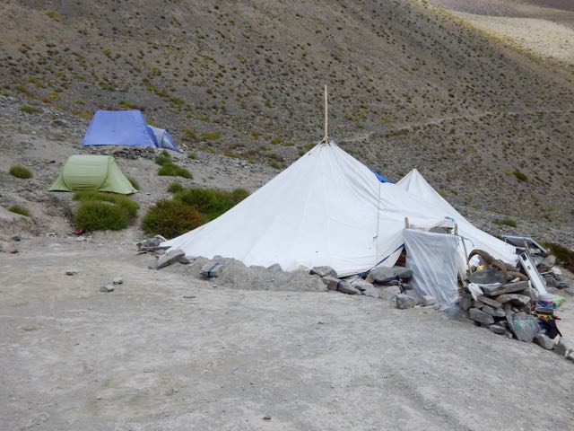
And finally Kanda La “Base Camp” 4345m. (Calling these Pass jumping off points Base Camps is embarrassing, I agree.)

DSCN2965

The young guy running the parachute was getting drunk on rum and beer. And looking forward to partying.

I left as quickly as possible after my Masala Chai.

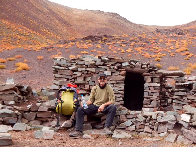
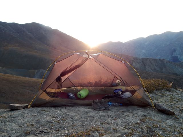
I hiked up to about 4600m metres to a place that my guidebook called “Advanced Base Camp”.

DSCN2968

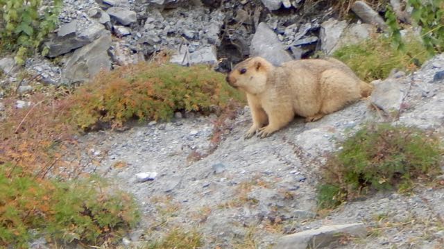
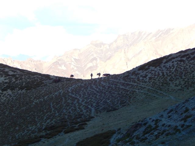
It was me. The marmots. The partridge (?). And a horseman that stopped to let his animals graze and drink for a half hour.

DSCN2978

DSCN2986

DSCN3011

DSCN2966

DSCN2994

As always, you need watch the cattle and Yak hybrids. They like to snoop in tents for food.

DSCN2996

DSCN3002

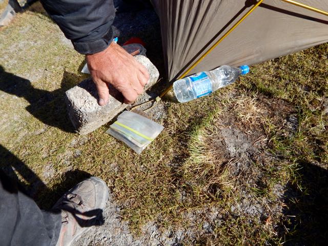
I hid my passport and most of my money under a stone. Just in case.

DSCN3005

Good night. 🙂

DSCN3007

See all my high resolution photos from this day on flickr.

day 0 | day 1 | day 2 | day 3 | day 4 | day 5 | day 6 | day 7 | info page

Markha trek, Ladakh – day 2

trip report by besthike editor Rick McCharles

day 0 | day 1 | day 2 | day 3 | day 4 | day 5 | day 6 | day 7 | info page

Colossal blunder or Adventurous Side Trip?

Though I managed to get myself lost for 8 hours, this was to be the best day of the trek. 🙂

Was I carrying too much? Missing anything?

DSCN2709 DSCN2708 DSCN2707

As it turned out, carrying 3 books was crazy. Instead I should have brought some sort of power supply for my iPhone. Audio books are best on the trail.

DSCN2713

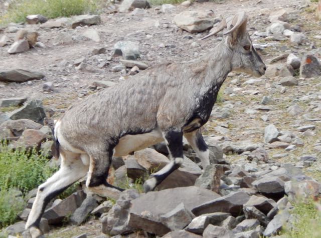
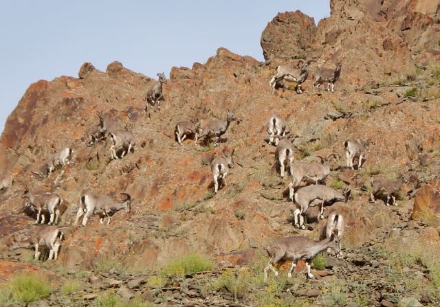
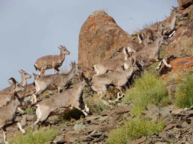
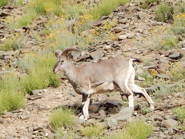
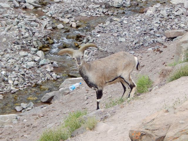
Around one corner I stumbled into a big herd of Blue Sheep.

DSCN2723

DSCN2731

DSCN2726

Lucky me.

DSCN2733

Actually, the boys at this parachute camp were providing a salt lick.

DSCN2732

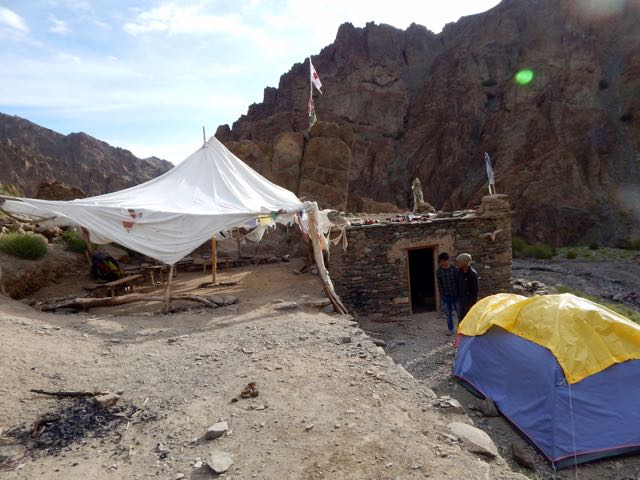
These parachutes are seasonal restaurants. They all serve hot and cold drinks. Few provide hot food.

I stayed some time snapping pics.

DSCN2741

DSCN2752

DSCN2759

It’s here that you either ascend to climb Stok Kangri 6153m (20,182 feet) … or head for the Markha circuit via one of two passes.

DSCN2757

Up and up.

DSCN2766

Beautiful and somewhat mystical.

DSCN2770

DSCN2775

My lunch for the first few days was peanut butter on Naan. I’d purchased these flatbreads from outdoor Muslim bakers near the mosques in Leh. Less than $1 for 10. They keep well on the the trail.

DSCN2778

DSCN2801

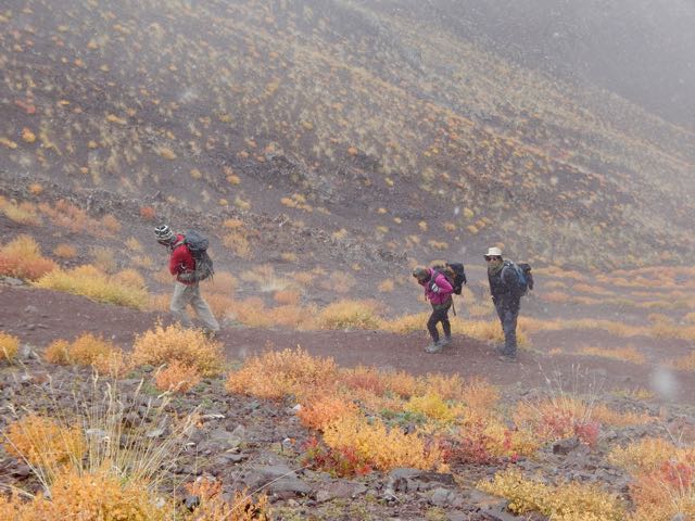
One very good reason to come to Ladakh end of season is to enjoy the autumn colours. It reminded me of Yukon in the Fall.

DSCN2802

DSCN2803

DSCN2807

These odd high altitude plants are mostly leaf.

DSCN2806

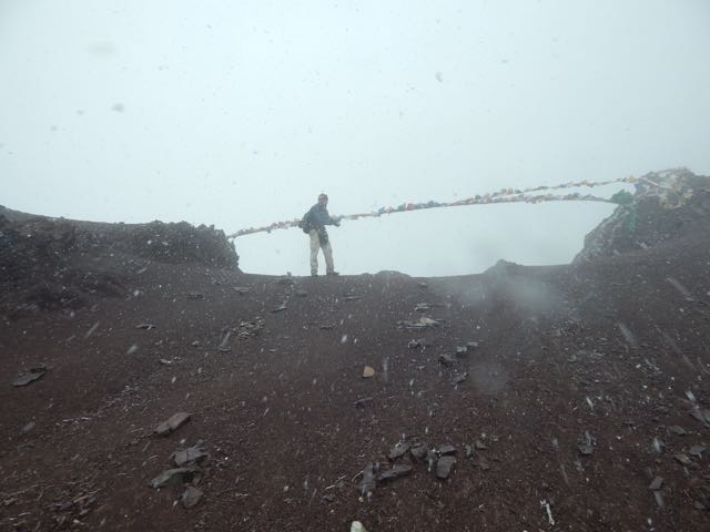
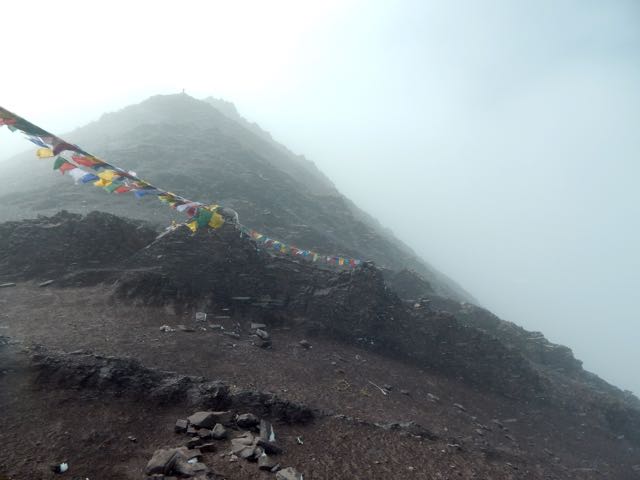
I finally reached Stok Pass. Alon from Israel arrived same time from the other side.

DSCN2811

DSCN2812

We were both happy to get some weather. It made the crossing more memorable.

DSCN2814

Just behind Alon were 3 more hikers, not quite so enthusiastic about the snow.

DSCN2823

DSCN2824

Gorgeous.

DSCN2817

DSCN2819

DSCN2825

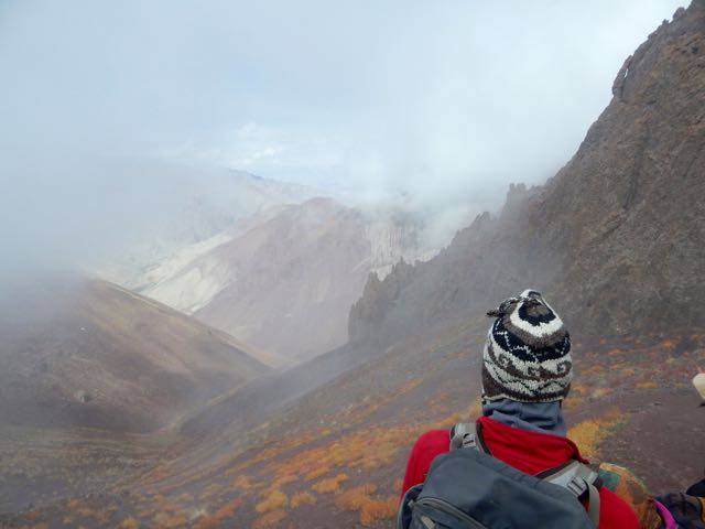
Dropping down the weather cleared.

DSCN2831

DSCN2829

This is an extreme desert. Precipitation is rare.

I love desert landscapes.

DSCN2832

DSCN2833

DSCN2834

DSCN2836

DSCN2837

Arriving to the other side my plan was to shortcut – skipping Rumbak village. Why descend when I could traverse the mountain?

DSCN2846

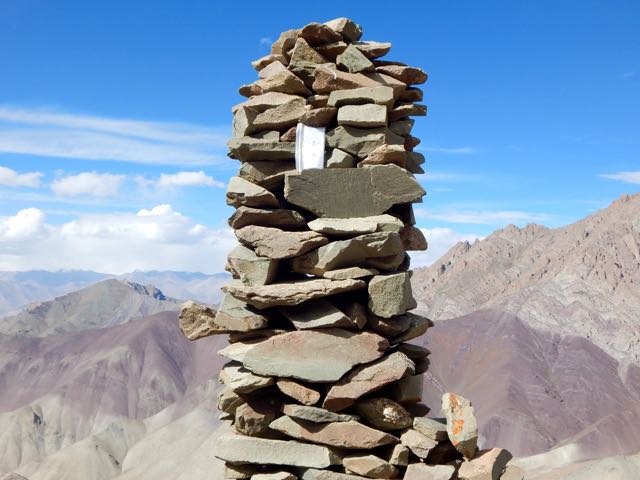
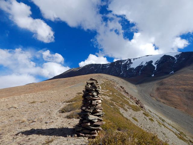
A series of cairns seemed to confirm my off-trail route.

DSCN2858

I left a Summit Stone in this sentry.

DSCN2859

DSCN2860

Climbing high I ASSumed I’d be able to traverse towards Kanda Pass in the next valley.

DSCN2861

I ASSumed wrong. I was nowhere near Kanda. 😦

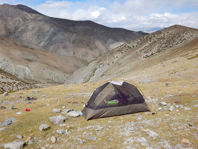
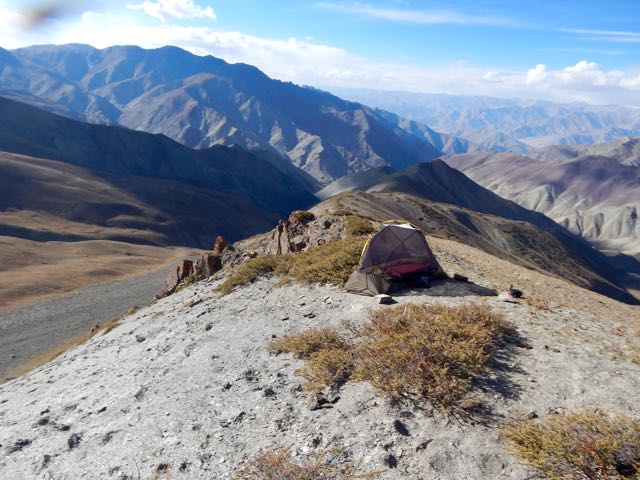
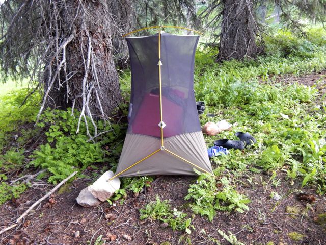
Daylight failing, all I could do was set up my tent well above 5000m.

DSCN2862

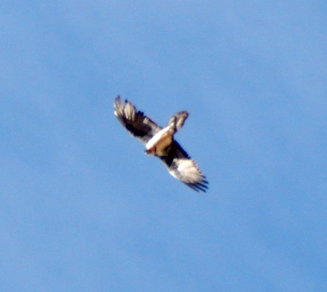
Nothing lives up there. But a couple of vultures did fly-bys. Hoping I was dead.

DSCN2866

It was an impressive campsite.

DSCN2874

DSCN2877

If needed, I could melt snow.

DSCN2878

I listened to Jack Reacher on audio through the night.

DSCN2881

DSCN2883

See all my high resolution photos from this day on flickr.

day 0 | day 1 | day 2 | day 3 | day 4 | day 5 | day 6 | day 7 | info page

Markha trek, Ladakh – day 1

trip report by besthike editor Rick McCharles

day 0 | day 1 | day 2 | day 3 | day 4 | day 5 | day 6 | day 7 | info page

Stok to Shang Sumdo

The “normal” Markha Valley trek starts in Spituk. You take photos of the Buddhist monastery there. Then walk 16 hot, dusty kilometres to Zingchan.

That didn’t appeal.

Instead – in the early afternoon – I took a taxi ($8) from Leh to Stok.

The village is home to the Stok Monastery, a museum and gompa. Stok monastery is the current residence of the former royal family of Ladakh and the museum contains the shrines, crown, ceremonial dress and jewelry of the Ladakhi king.

DSCN2680

DSCN2666

The museum is well worth visiting.

DSCN2659

DSCN2661

DSCN2662

DSCN2663

DSCN2664

Three Czech hikers (just finishing) gave me my first solid information on the high Pass. They told it was no problem. But that I should treat all water sources. They’d seen 2 dead horses in creeks over the past 2 weeks hiking.

DSCN2669

I wandered through town up to the new Buddha statue.

DSCN2665

Hoping to gain some sort of favour, unfortunately the big guy had no comment.

DSCN2677

DSCN2678

DSCN2681

Sacred cows were equally mute on my proposed route.

DSCN2682

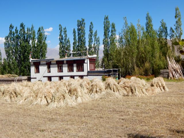
Harvest was in progress. The local people busy.

DSCN2673

DSCN2683

DSCN2674

DSCN2684

At the end of the road I got more information from guided groups just finishing.

DSCN2686

DSCN2687

Finally I turned up hill following the creek. Up.

DSCN2689

So far so good, here’s the trail looking back to Stok.

DSCN2692

I actually didn’t get far. About 2 hours above town. At this point I still wasn’t sure whether I was acclimatized enough. Better safe than sorry.

DSCN2703

See all my high resolution photos from this day on flickr.

day 0 | day 1 | day 2 | day 3 | day 4 | day 5 | day 6 | day 7 | info page

Markha trek, Ladakh – day 0

trip report by besthike editor Rick McCharles

day 0 | day 1 | day 2 | day 3 | day 4 | day 5 | day 6 | day 7 | info page

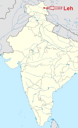
I flew Delhi to Leh in September (the best month) to circumambulate the most famous mountain in the area, Stok Kangri.

LehAT A GLANCE

  • the most popular hike in Ladahk, northern India, bordering Tibet
  • easy access out of Leh
  • 6-8 days
  • 111km (69mi)
  • early June to mid-October
  • moderate-demanding
  • big risk of altitude sickness
  • 2-3 high passes (4900m-5200m)
  • several nights at very high altitude
  • sleep in tent or in “homestays”
  • frequent flights from Delhi. Infrequent flights from Srinagar and Jammu.
  • hike independently or with a Guide
  • check the confusing tourist visa requirements for India. Some nations can get a visa-on-arrival at airports.

Nobody speaks about hiking distance in the Himalaya. Only altitude truly matters. Markha ranges from 3190m – 5287m.

Acclimation is critical.

I spent 3 nights in dusty, cluttered Leh. And a 4th day cycling from the highest road pass – 38kms back to town.

I was hoping 4 days would be long enough to successfully start from Stok, rather than the usual place – Zingchen.

click for larger version

I’ll leave my luggage locked up in a Leh hotel. And try for a solo, independent, tenting week in the high mountains.

Wish me luck. 🙂

See all my high resolution photos from this day on flickr.

day 0 | day 1 | day 2 | day 3 | day 4 | day 5 | day 6 | day 7 | info page

dispersed hiking in Alaska

If you’ve been to Alaska, you know hiking there is challenging.

Distances are HUGE. And there are not all that many established trails.

Turns out, that’s partly by design.

GearJunkie in Denali:

The park’s 2006 Backcountry Management Plan … “Except as otherwise specified… backcountry access and travel in Denali will continue without designated routes or constructed trails to allow for freedom to explore and to minimize signs of human presence.”

Similar trail-less wilderness areas exist within Alaska, which contains more than half of all the country’s wildernesses, but Denali is by far the most popular, totaling more than 38,000 backcountry campers last year. According to Burrows, the relative ease at which visitors can access Denali’s backcountry (it’s split in two by the park road) has spurred increased exploration and cause for increased measures to keep the wilderness as Murie intended.

Very quickly after starting hiking from the park road, we ran across our faint trails, and like many of Denali’s visitors we opted to take the path less traveled, spread out to disperse our impact and take advantage of a wilderness experience unlike anyplace else.

Bushwhacking Encouraged: Denali Strives To Eliminate Ad Hoc Trails

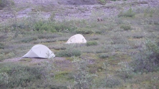
Matt Zimmerman - Grizzly bear in Denali National Park
Matt Zimmerman – Grizzly bear in Denali National Park

Colorado Trail – Silverton to Durango – day 4

trip report by site editor Rick McCharles

day 1 | day 2 | day 3 | day 4 | info page

seasonal Spring – Kennebec trailhead – Durango

The morning was overcast and gloomy for the first time on the hike. DSCN2111I’d hoped the pain in my leg would have “recovered” by morning.

It had not. 😦DSCN2120My closest escape route was Kennebec trailhead, 8 miles onward.

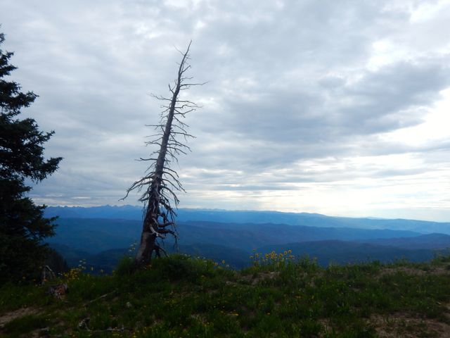
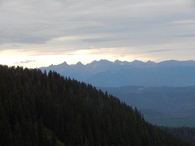
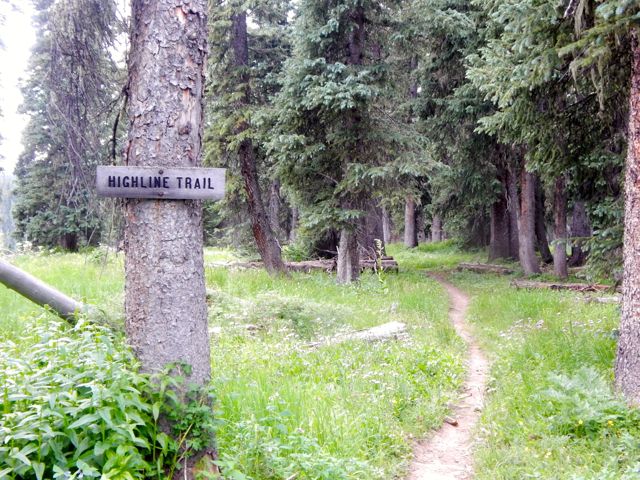
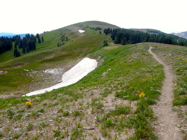
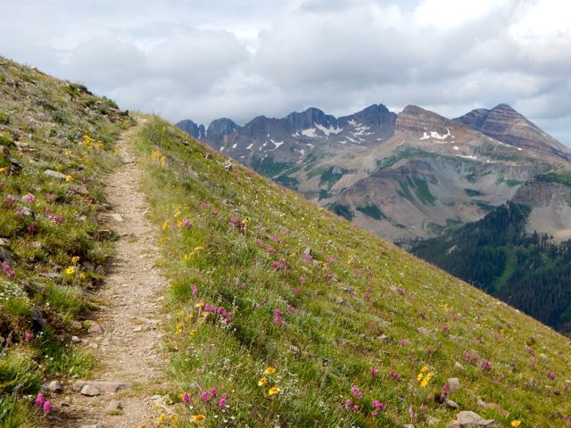
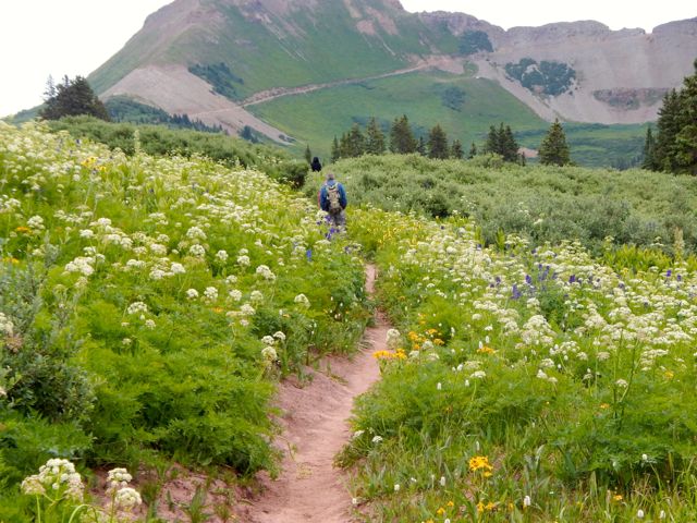
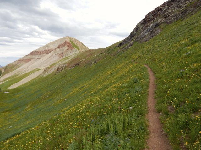
Would there be any vehicles there? Could I catch a ride back to Durango, skipping the last 20.5 miles?DSCN2116But when I hit the Highline Trail section I couldn’t stop grinning. DSCN2114It came clear to me why these are some of the highlight miles of the entire Colorado Trail. The Indian Trail Ridge section of the Highline is fantastic.

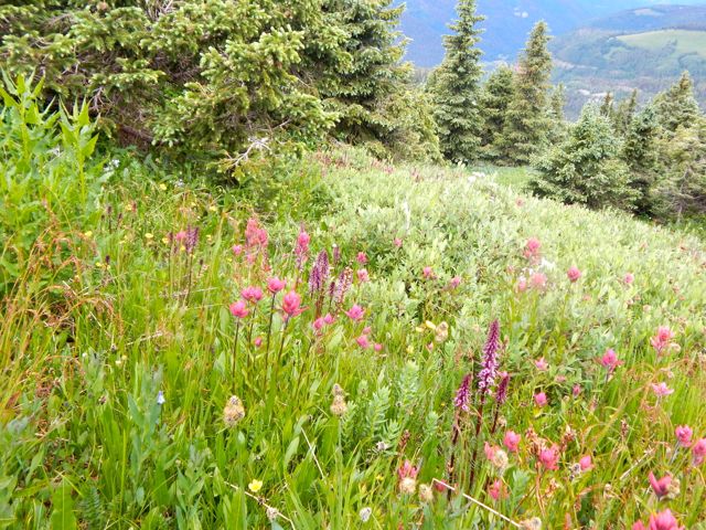
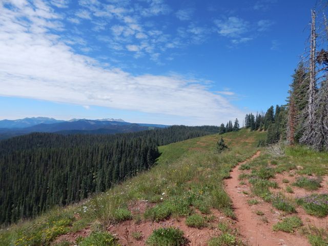
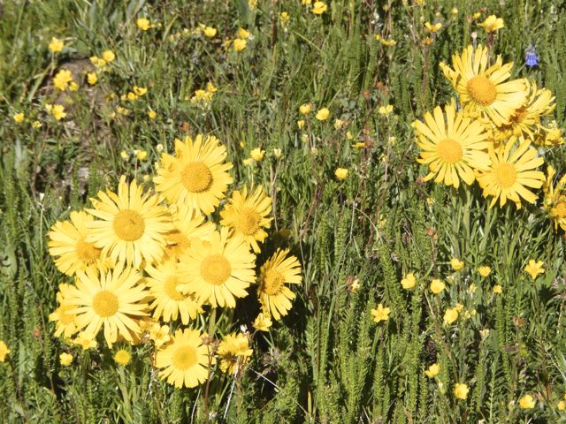
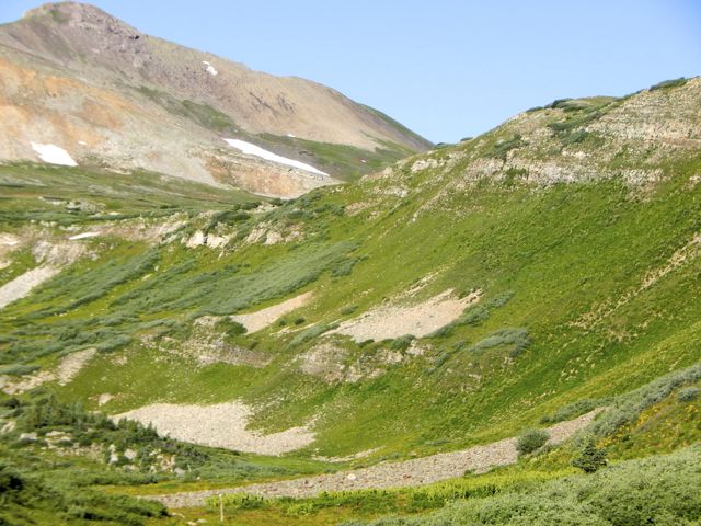
Photos cannot capture the wide and unique vista. But I’ll post some anyway. 🙂DSCN2122DSCN2136The wildflowers are reputedly better here in July than anywhere else on the Colorado Trail.  DSCN2131

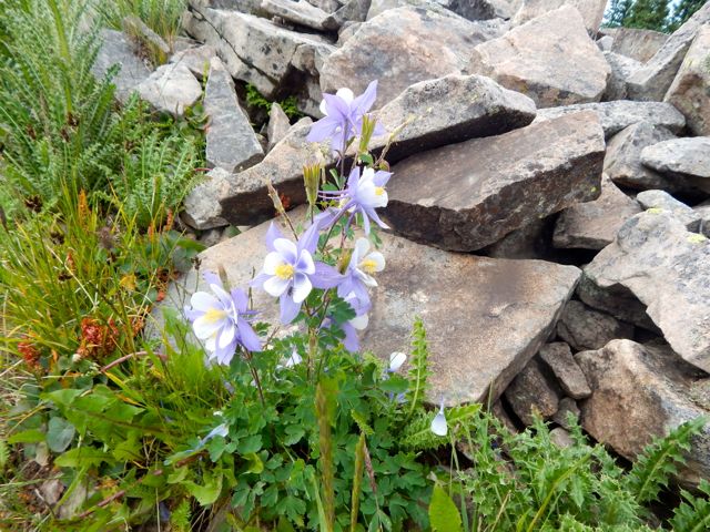
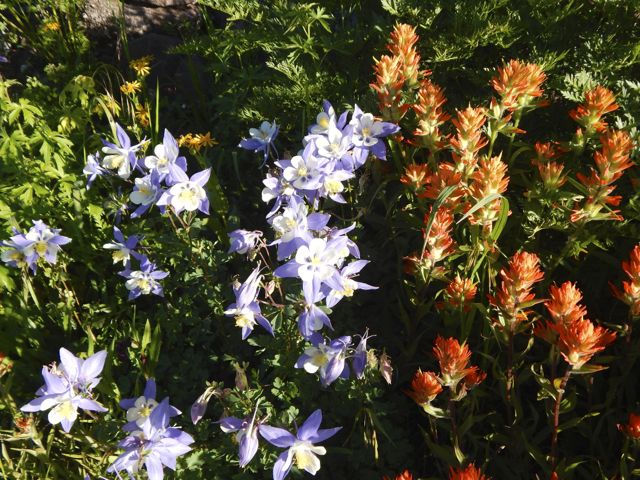
Blue Columbine
Blue Columbine

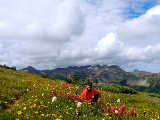
I was thinking to use this as my OK Cupid profile pic. 🙂 Ladies? DSCN2139Bad news. I was moving much more slowly than usual … and the big, bad thunder clouds started piling up atop the highest point on the trail.

DSCN2140DSCN2142

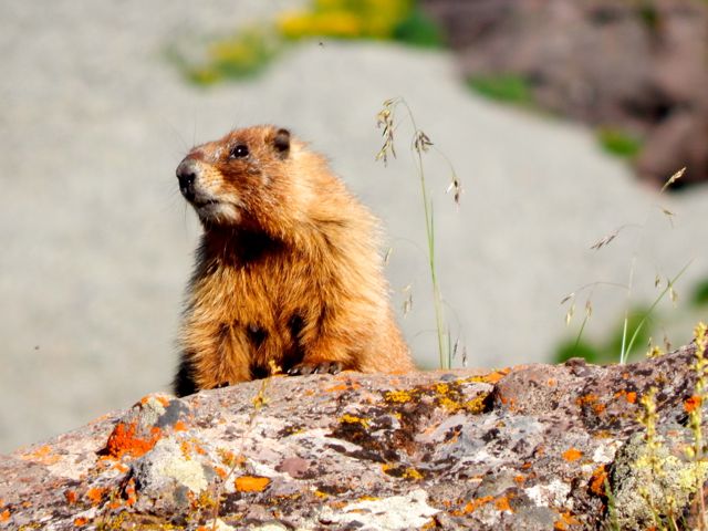
DSCN2143Marmots can hide in the rocks if the thunder and lightning starts. But I’d be very exposed.

DSCN2157I shuffled on and managed to drop down to Taylor Lake and the Kennebec trailhead before the rain started.

DSCN2162I was relieved to get off the heights. And into even thicker wild flowers.
DSCN2164
DSCN2165DSCN2166The first folks I met – a family originally from Montana – offered me a lift part way down the mountain towards Durango. They were looking to fill their pick-up truck with firewood.

DSCN2169(note – At this point my camera said “batteries exhausted“. I resembled that remark. And put the camera away. My hike OVER. 51 miles total.)

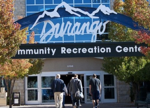
I was pleased to tag along. Prepared to start working the chainsaw when a second vehicle arrived. A couple of ex-military fishermen. They’d needed to hitchhike plenty over their many different fishing trips. The guys dropped me at the Rec Center in Durango so I could shower-up and change my clothes.

Rec CenterA hot shower is one of the few things I miss while hiking. This one was glorious. 🙂

A lady at the Rec Center suggested I use the rest of the facilities. After all, I’d paid full price for the day – $6!

It sounded crazy at the time, but I did end up returning in the evening for a workout in the weight room. And another long, hot shower. 🙂

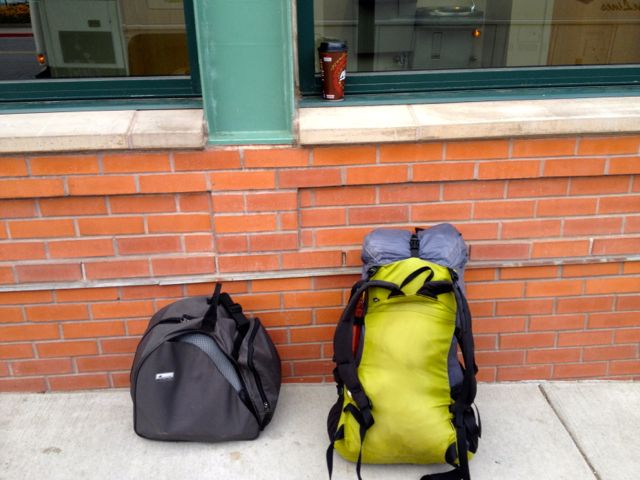
My stashed green garbage bag was exactly where I’d left it days ago. I repacked for travel, the Colorado hiking finished for 2015. (I was walking with a limp.)

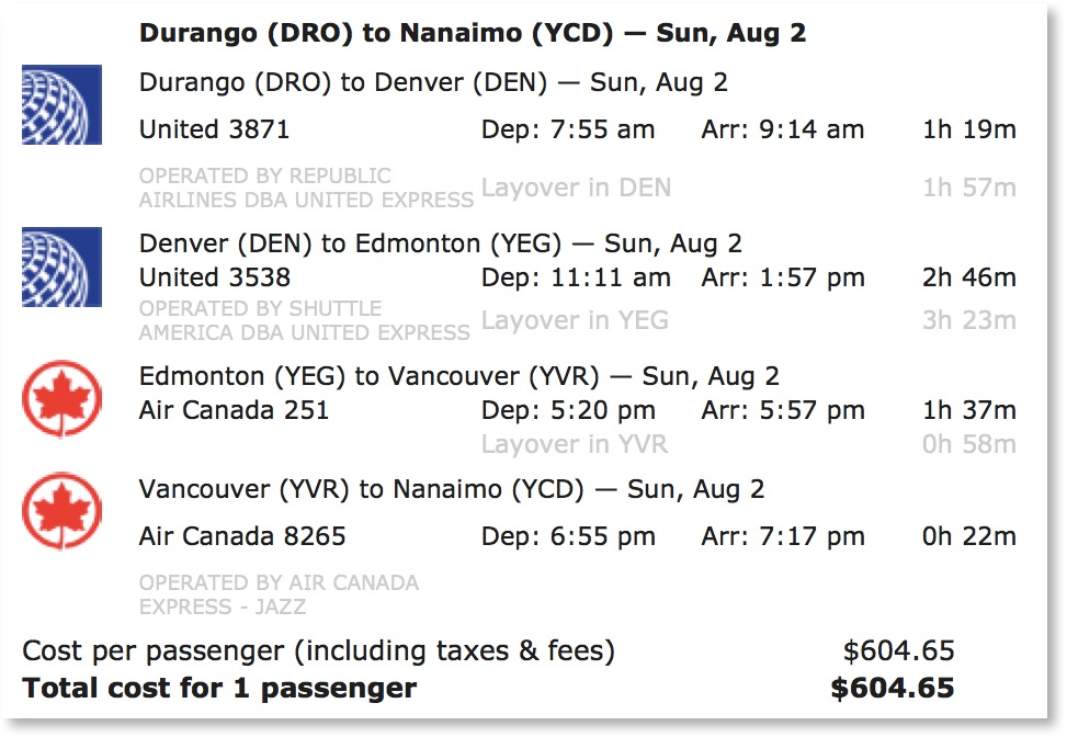
DSCN2171Have you ever tried to fly from one small town to another small town in another nation? On a summer long weekend? With one day notice?

DON’T!

An itinerary like this is near certain to go wrong.

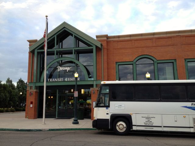
itineraryInstead, I played it SAFE and jumped on to the only long distance bus out of Durango. The 7am Roadrunner. The same bus that brought me here.

IMG_3408IMG_3410Farewell Durango.

more high resolution photos of day 4

day 1 | day 2 | day 3 | day 4 | info page

Colorado Trail – Silverton to Durango – day 3

trip report by site editor Rick McCharles

day 1 | day 2 | day 3 | day 4 | info page

Straight Creek – seasonal Spring

No rain last night. DSCN2062I hadn’t needed to put the fly on the tent!

Mixed forest hiking. Often the Colorado Trail here traverses high on the mountain between alpine meadows and scattered trees. DSCN2068 DSCN2071With more good weather, I’d planned to push hard again and hike perhaps 26mi to Taylor Lake. Otherwise I’d need to stop before the last available water at around 20 miles. DSCN2066I met an older couple from Nebraska riding the Continental Divide over a number of years. They’d camped near the first serious bear scat I’d seen in Colorado. DSCN2079DSCN2070Water is short on this high, ridge walking section. Trail angels had left this behind (empty) … DSCN2076… and somebody up day biking left this. DSCN2095At many downhill fallen logs, I took a short rest. DSCN2080One of the few complaints I have about this trail is road walking. Old mining and logging roads are everywhere.DSCN2074 DSCN2075DSCN2084There are very few motor vehicles, but I’d be happier if they’d route actual trail to avoid them completely.

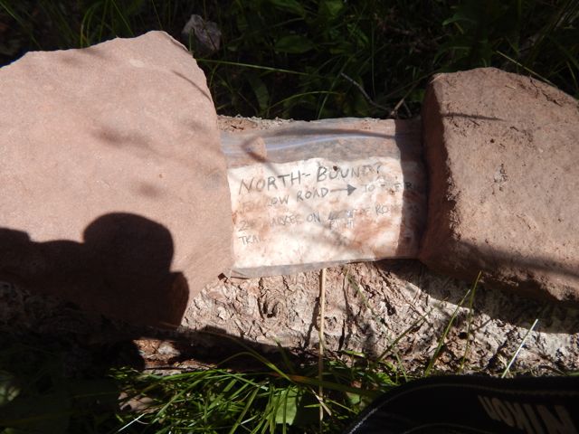
Signage is quite good. But it’s possible to get lost for short periods of time. Some hiker had taken the time to post this helpful note. DSCN2085The best sections have open views for long periods. DSCN2082 DSCN2083 DSCN2097A lovely day to be walking in the mountains. DSCN2086 DSCN2087 DSCN2101 DSCN2088Wildflowers a constant delight. DSCN2090 DSCN2091 DSCN2099These guys are camped here with motor vehicles. DSCN2093As feared, the skies darkened above the high, exposed ridge I hoped to cross. There’s not much trouble with bears here. But lightning kills hikers every year. DSCN2098When it started to rain about 4pm, I decided to give up my attempt to make it to Taylor Lake.DSCN2104That decision was probably for the best as shinsplints (?) in one leg started to act up. (An old gymnastics injury from my youth.) I’d been pushing too hard with too heavy a pack, I guess.

This would delay my return to Durango by a day. But no big deal. I’d no plane to catch.

Charcoal I’d found on the trail wasn’t actually all that much help getting my fire going. So I cheated with my camp stove. 🙂DSCN2105 DSCN2109 DSCN2110more high resolution photos of day 3

day 1 | day 2 | day 3 | day 4 | info page

Colorado Trail – Silverton to Durango – day 2

trip report by site editor Rick McCharles

day 1 | day 2 | day 3 | day 4 | info page

Lime Creek – Straight Creek

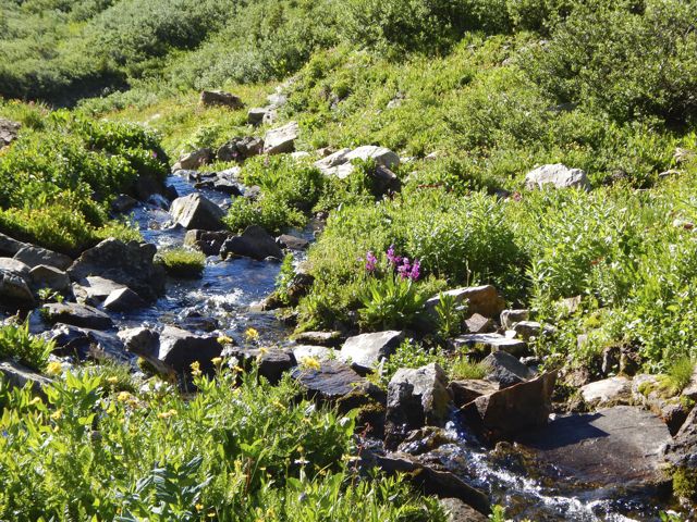
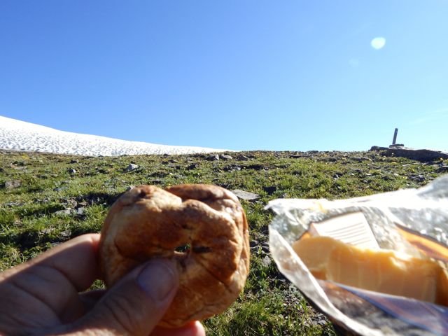
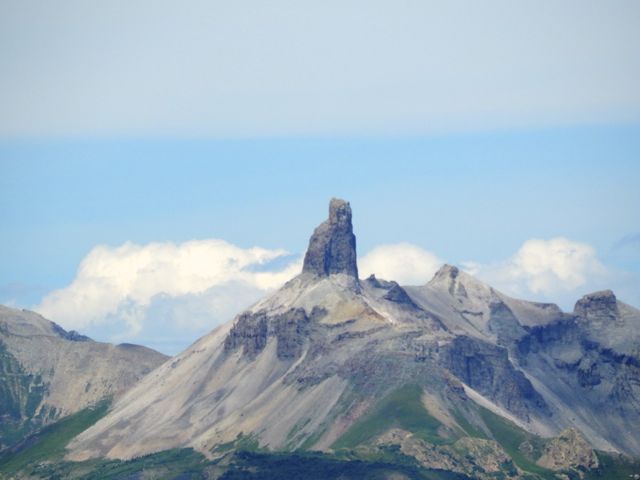
Good morning. Blue sky. DSCN1975 DSCN1974Life is great in the Rockies when the weather is clear. DSCN1977 DSCN1976This marmot seemed to be questioning my good mood. What does he know?DSCN1979The wildflowers are fantastic in July. DSCN1992 DSCN1980Vistas wide open. Much of this hike is above the treeline. DSCN1983Clear mountain streams burble. DSCN1988There’s a little bit of snow left on north facing slopes. But not much. DSCN1990These ladies had an ideal campsite under the full moon. They were hiking about 10 miles / day. No rush. DSCN1991I was one happy hiker, myself. DSCN1994I snacked on raisin min-bagels and extra sharp cheddar cheese. DSCN1998Lovin’ it. DSCN2000 DSCN2014Here’s the weirdest geological anomaly.

Lizard Head Peak.
Lizard Head Peak.

On the downside you must share this paradise with car campers.
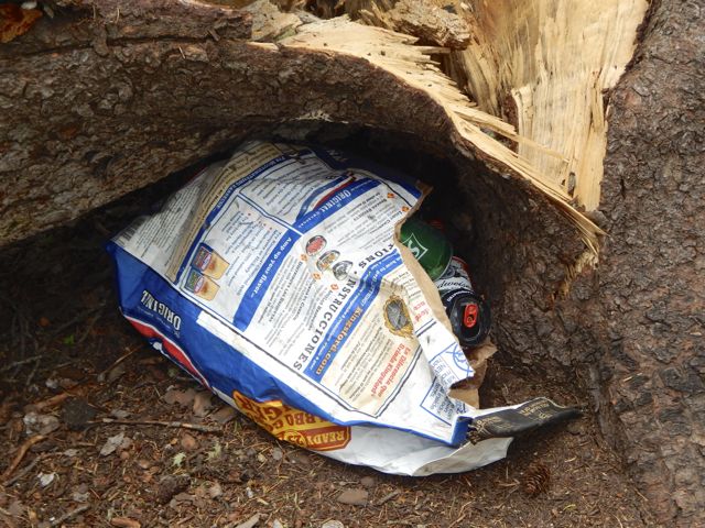
DSCN2026One group couldn’t be bothered to drive out their trash. 😦
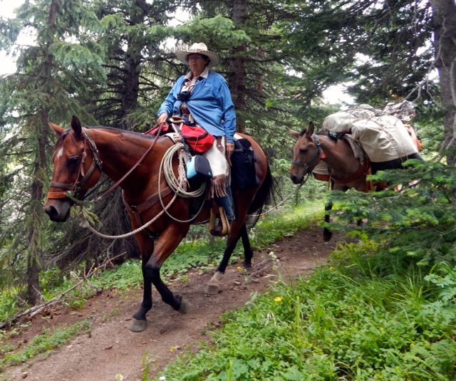
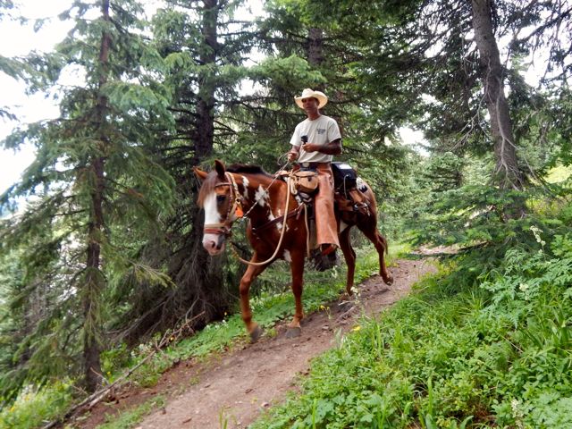
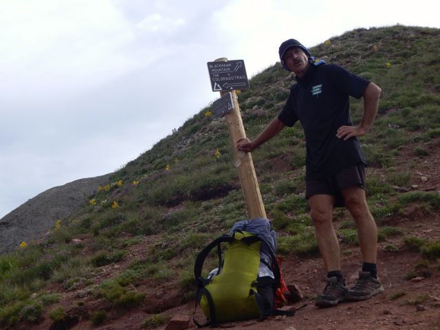
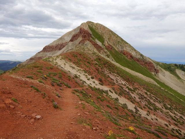
DSCN2025Horseback travellers are cool, though. DSCN2033 DSCN2036As usual, the skies darkened in the afternoon. DSCN2048I wanted to cross Blackhawk Pass before stopping for the day. DSCN2055Here it is … I thought at the time. DSCN2054Nope. The real Blackhawk Pass (11,985ft) was far, far more challenging. I wasn’t sure I’d actually make it before the weather closed on me.

photo by Scott Morris

DSCN2058When I finally crossed and found water, there was no campsite. I went off-trail to the creek and set up my tent on the upslope side of a large tree, one of the few possible places to set up on a steep slope. DSCN2059It was fairly flat … after I propped up one corner on rocks. DSCN2060more high resolution photos of day 2

day 1 | day 2 | day 3 | day 4 | info page

Colorado Trail – Silverton to Durango – day 1

trip report by site editor Rick McCharles

day 1 | day 2 | day 3 | day 4 | info page

Durango – Silverton – Molas Pass – Lime Creek

Arrived Durango, Colorado (pop. 18,000) by Roadrunner, the only long distance bus in and out of town. My plan was to take the train to Silverton. Hike back.
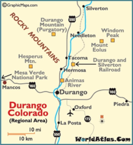
durangomapMany had recommended the very LAST section of the 500 mile Colorado Trail – the San Juan’s – as the best part. 🙂

An excellent hostel having closed a couple of years ago, the cheapest room I could find was US$120. (This tourist trap is expensive during high season.)

Therefore I would sleep rough.

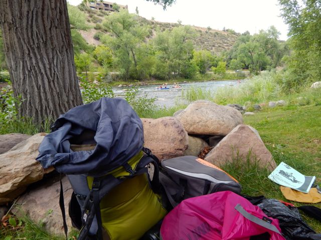
I found an excellent campsite hidden along the edge of the river in a Park currently under construction. Slept well in my tent.

I was using McDonald’s WiFi by 6am next morning.
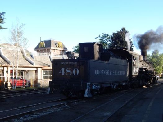
DSCN1897The ticket office for the Silverton train opened at 7am. Though officially “full”, one of the ticket officers managed to squeeze me on to the 8am train.

Problem. I had planned on taking the 9:30am train. Where would I store the gear I didn’t want to carry on the hike? In the 20min I had available before boarding?

No lockers at the train station. No lockers at the transit station. 😦

I ended up stashing a black garbage bag in bushes adjacent to the nearest grocery store. Hidden in plain sight in the Albertson’s parking lot.

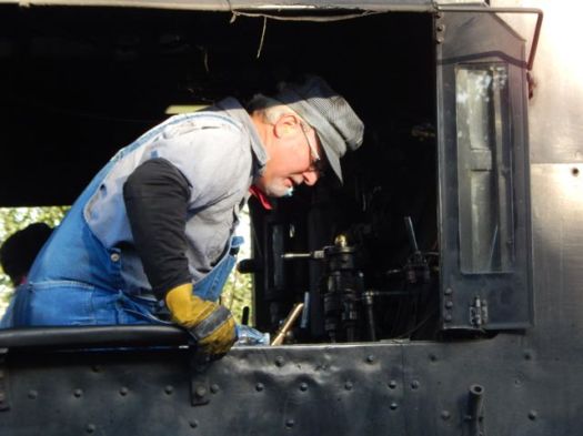
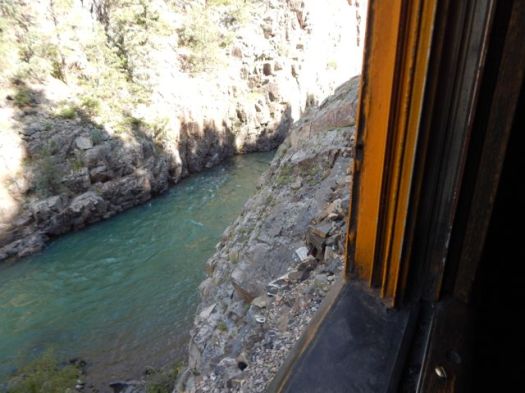
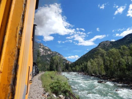
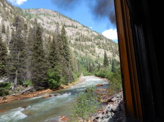
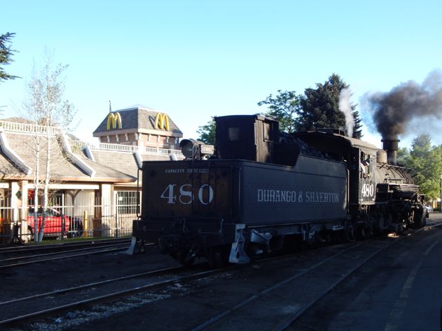
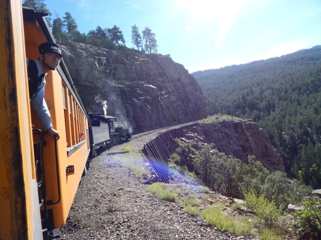
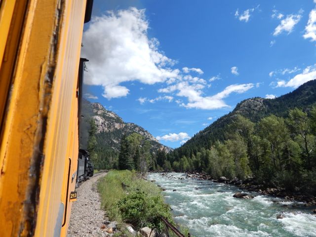
The Durango & Silverton Narrow Gauge Railroad …  operates 45.2 miles (72.7 km) of track between Durango and Silverton …

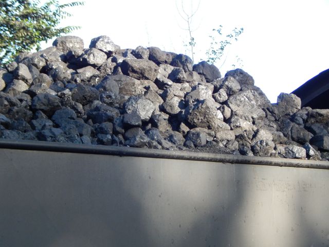
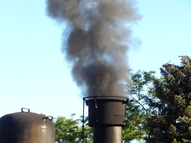
The steam-powered locomotives used today on the Durango & Silverton Narrow Gauge Railroad were built during the 1920s. …
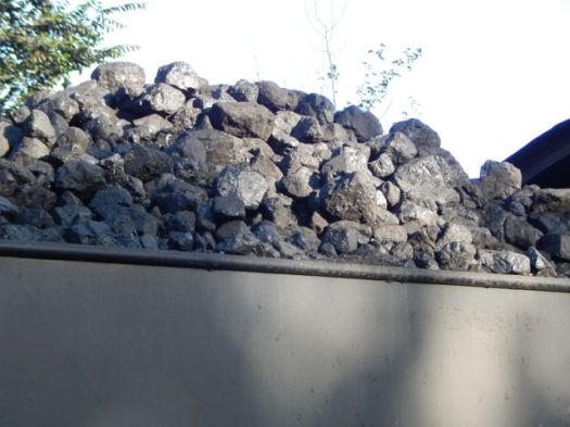
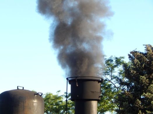
DSCN1898 DSCN1899 DSCN1900Plenty of hikers use the train to get up into the San Juan’s.DSCN1904One way scheduled trains take 3½ hours …
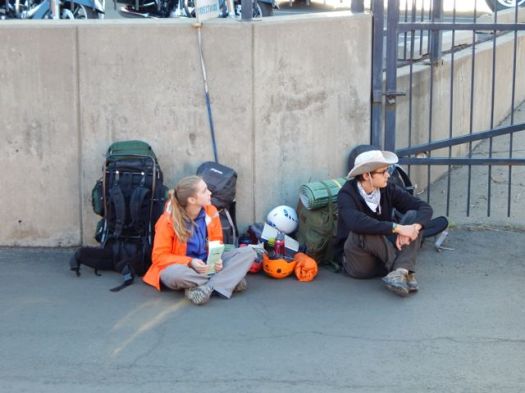
Elk Park is the last siding, wye, and flagstop before Silverton. Not as popular as Needleton for hikers, Elk Park is where the railroad crosses the Colorado Trail …
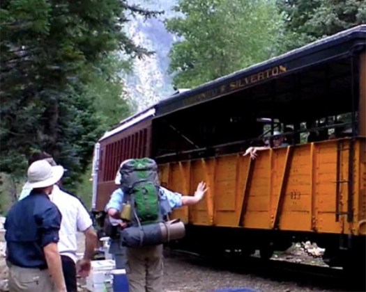
hikers Needleton

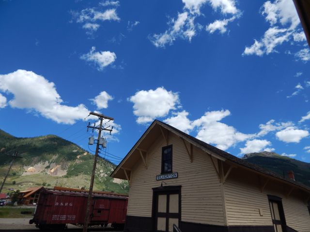
I stayed on the train at both Needleton and Elk Park. Rode it all the way to Silverton.
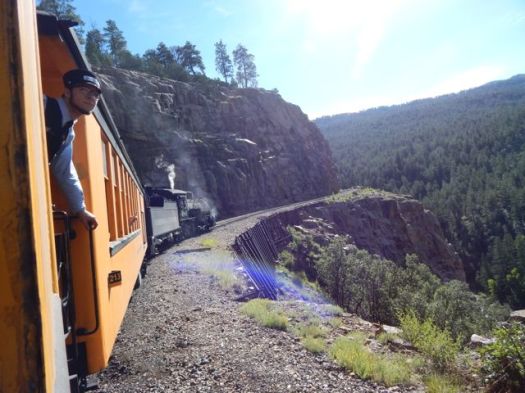
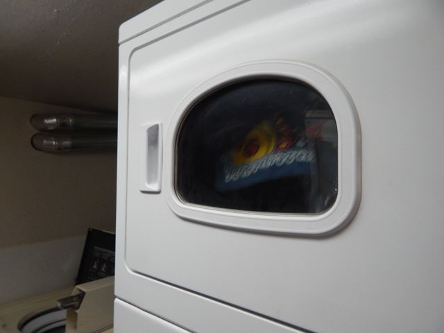
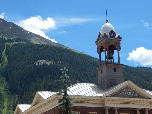
DSCN1905 DSCN1910 DSCN1915 DSCN1927 DSCN1930 DSCN1931One essential task left – laundry.

The campground is happy to have hikers stop by for a wash and dry. (Or a $7 shower.)

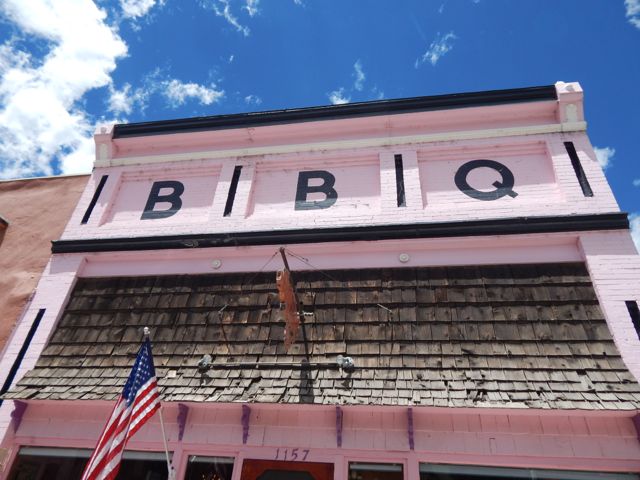
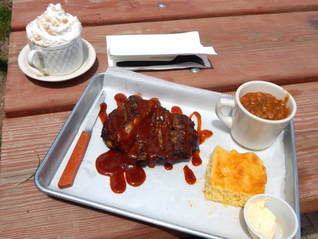
For lunch I hit the southern Barbecue joint – Thee Pits Again.DSCN1933Pork ribs, baked beans, cornbread … and very British bread pudding for desert. My last restaurant meal before hitting the trail.DSCN1936I wandered the town while my togs were drying. DSCN1944DSCN1941 DSCN1943Getting out of Silverton was another blunder. I started hitchhiking … in the wrong direction. A local gent drove me up to the correct highway and to the best place to hitch. I had a ride within minutes. Hikers are hitching back and forth the 7 miles to Molas Pass all the time.
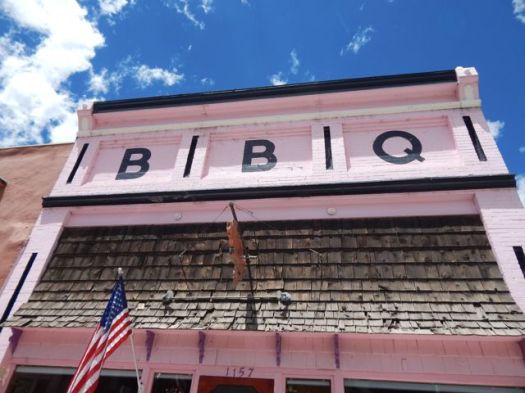
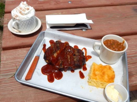
Arriving at the pass I met a European who was nearly finished the 500 mile Colorado Trail. But he needed to resupply in Silverton, staying at the hostel there one night.  Oddly, he got a 7 mile ride with this truck driver. Some scam was in the works, I suspected. DSCN1953 DSCN1954Actually, Silverton has no grocery store. But does have a gear shop (fuel) and plenty of restaurants.

The vista looked great from Molas. Here I’m looking back at the section prior the one I was about to do.DSCN1949  Across the highway. Off and up.DSCN1956Gorgeous scenery. Though my pack felt heavy. I should have left more STUFF hidden in a garbage bag.DSCN1959DSCN1965The wild flowers are shoulder high in places.DSCN1963I set up in a lovely spot.DSCN1968DSCN1970Failed to get the campfire going this time. (Tried to skimp on kindling.)
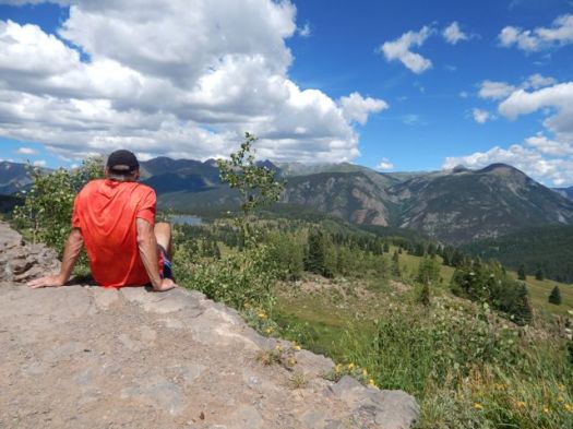
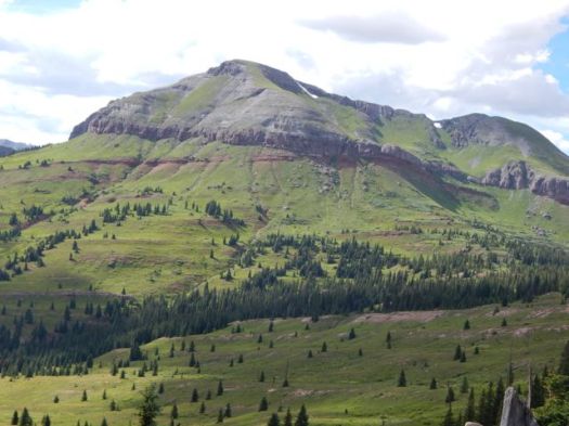
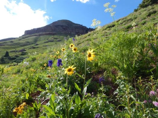
The Colorado Trail is mostly dispersed camping. Put up your tent anywhere you like.

Clear skies. Nearly a full moon.DSCN1967more high resolution photos of day 1
day 1 | day 2 | day 3 | day 4 | info page

Colorado Trail – Collegiate West day 6

trip report by besthike editor Rick McCharles

day 1 | day 2 | day 3 | day 4 | day 5 | day 6 | info page
Hunt Lake to Monarch Pass

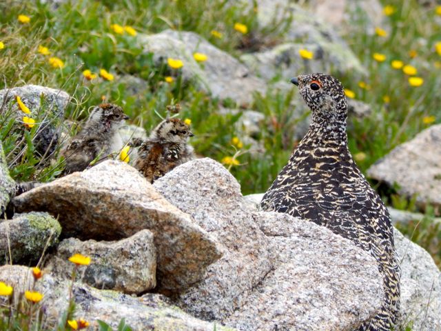
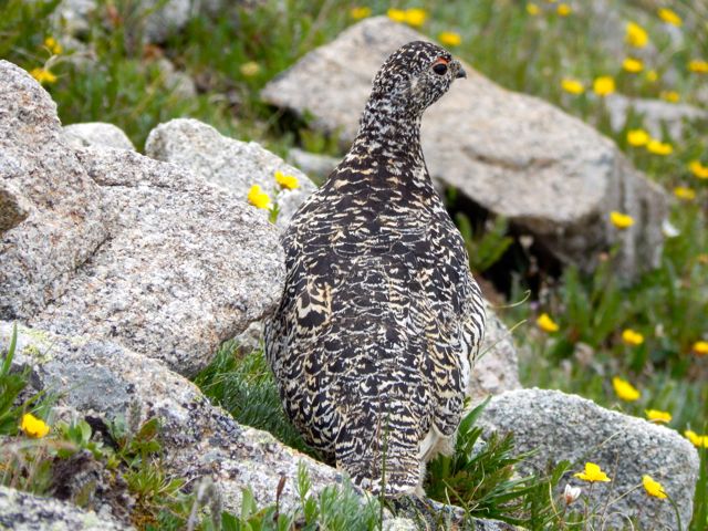
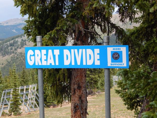
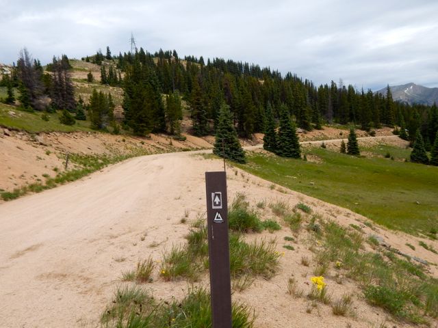
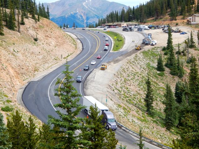
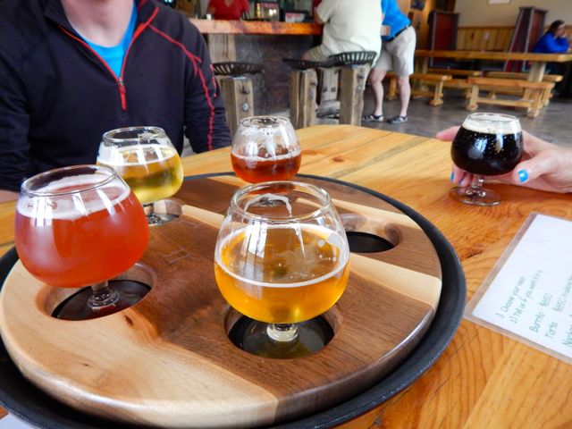
I was up at first light. But everyone else heading south was already gone. DSCN1824 DSCN1829 DSCN1827I enjoyed a pot of coffee, as usual. DSCN1831It was up, up and away from pretty (but buggy) Hunt Lake. DSCN1834For some reason the steep climb to the only major pass felt easy today. Perhaps I’m getting used to this.DSCN1836 DSCN1837 DSCN1838The map showed a long, leisurely walk out along the continental divide. DSCN1839 DSCN1841More ptarmigan. These 4 chicks were very young. DSCN1857 DSCN1849 DSCN1845The end is near. Electricity. DSCN1862Traversing the roads atop of Monarch Ski Resort was a bit confusing. There are few trail signs.DSCN1865 DSCN1868 DSCN1872Here’s the finish. Paved paradise, put up a parking lot. DSCN1875I caught a lift with a trail angel from Buena Vista. In thanks – and celebration – I treated for beer samplers and pork tacos at Elevation brewery. DSCN1878She dropped me at BV tourist information. I hoped to find a bus headed towards Aspen. Bad news: Though public transit is fantastic on the other side of Independence Pass, there are no buses in the poorer Arkansas River valley. 😦

Though I hate hitchhiking, a paddling guide drove me up to the Twin Lakes turnoff. … Then a fascinating world traveler – next skiing in Chile before settling down to research Dahl Sheep in Alaska – drove me the rest of the way to Aspen.

From there, in the pouring rain, I caught a $6 bus back to surprise my friends in Carbondale.

Done.

more full resolution photos

day 1 | day 2 | day 3 | day 4 | day 5 | day 6 | info page
___

If you are looking for a great 80 miles of hiking on the Continental Divide Trail, the new Colorado Trail Collegiate West is a terrific option. 🙂