I’m flying to Moab, Utah today.
One of the best outdoor adventure towns of the world.
March / April should be excellent weather for hiking.
There are 19 in our group — so far. Should be FUN. 😀
Click PLAY or watch it on YouTube.

Best hikes, treks, tramps in the world.
I’m flying to Moab, Utah today.
One of the best outdoor adventure towns of the world.
March / April should be excellent weather for hiking.
There are 19 in our group — so far. Should be FUN. 😀
Click PLAY or watch it on YouTube.
South West USA
Capitol Reef, Zion, Bryce, the Grand Canyon, Monument Valley, Glen Canyon, White Sands National Monument, Canyonlands and Arches National Parks. This part of the world is awesome.
We hike the SW USA every year and have yet to be disappointed.
Fascinating, diverse and mind-boggling. The best WOW geological zone we’ve seen anywhere.
More correct would be to call this region the Four Corners.

The high desert plateau intersection of the four U.S. states of Utah, Colorado, New Mexico, and Arizona.
The Grand Canyon of the Colorado Plateau is not the deepest nor largest, but it’s by far the most stunningly beautiful on Earth.
Most of the best slot canyons and natural stone arches in the world are here. A desert, your views are unobstructed. The light is perfect for photography.
The best weather is Oct-Nov, Mar-May. Summers are too hot for most hikers.
Most of the hikes in the Four Corners are short due to lack of water and the real risk of getting lost. People die in this wilderness every year.
Our favourite hike in the Four Corners region is Paria Canyon on the border of Arizona and Utah. You enjoy many days beneath huge walls in a slot canyon.

more from our Paria photo set
if you hike Paria you’ll certainly add on a nearby day hike called The Wave.

more Wave photos
More information on on dozens more great adventures on our new SW USA information page.
Details on Lonely Planet.
As I’m planning on another trip to the S.W. USA Spring 2023, I’m again looking for new-to-me best hikes there.
Nick on Hikematic:
Details on Hikematic – Best Hikes in Utah – Trail Guide

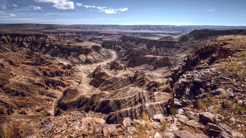
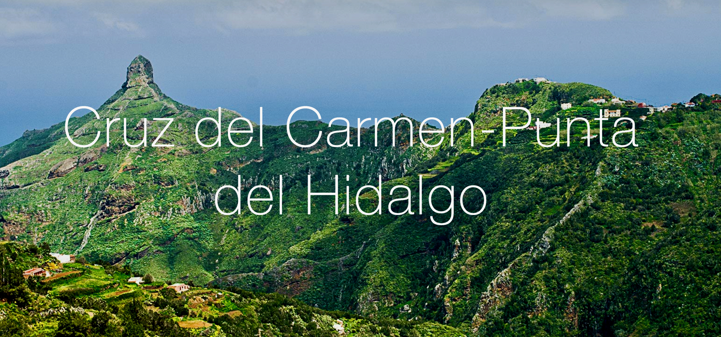
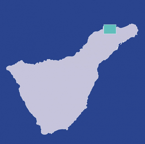
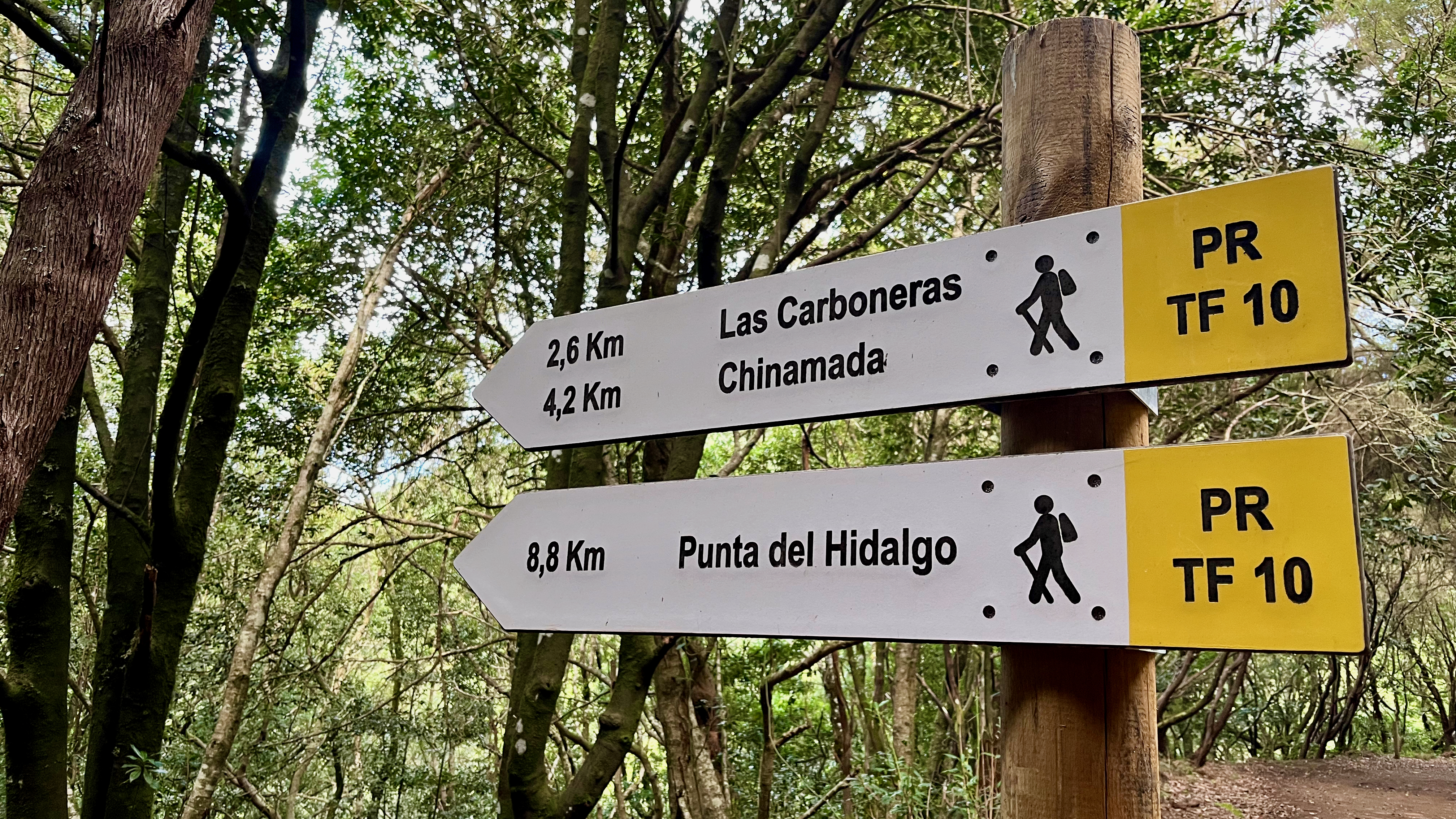
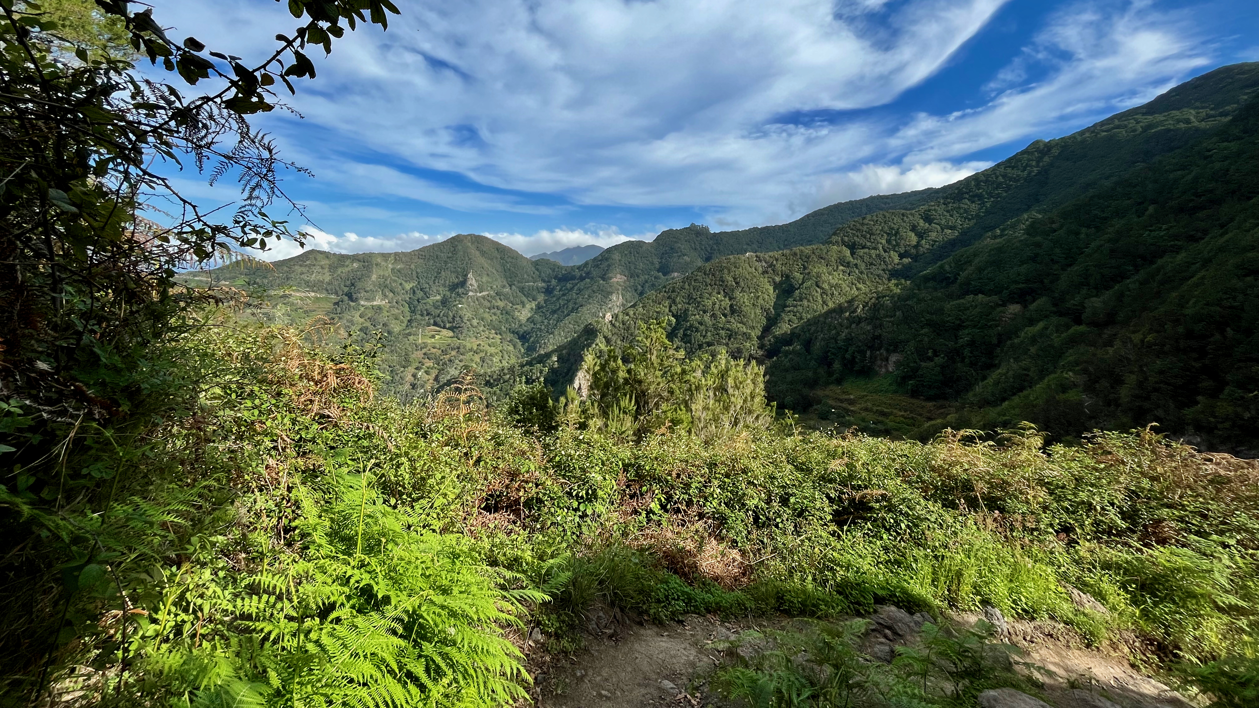
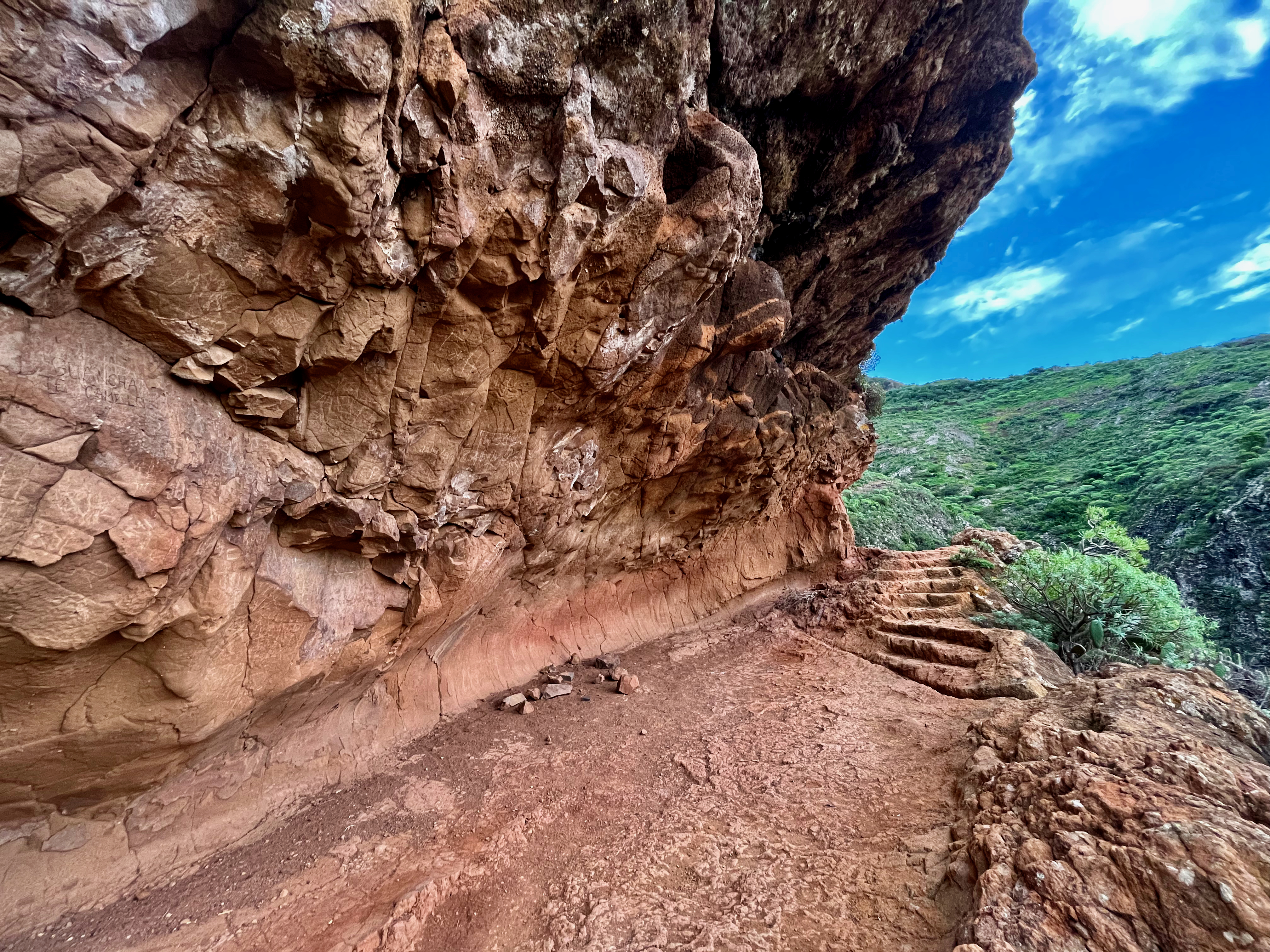
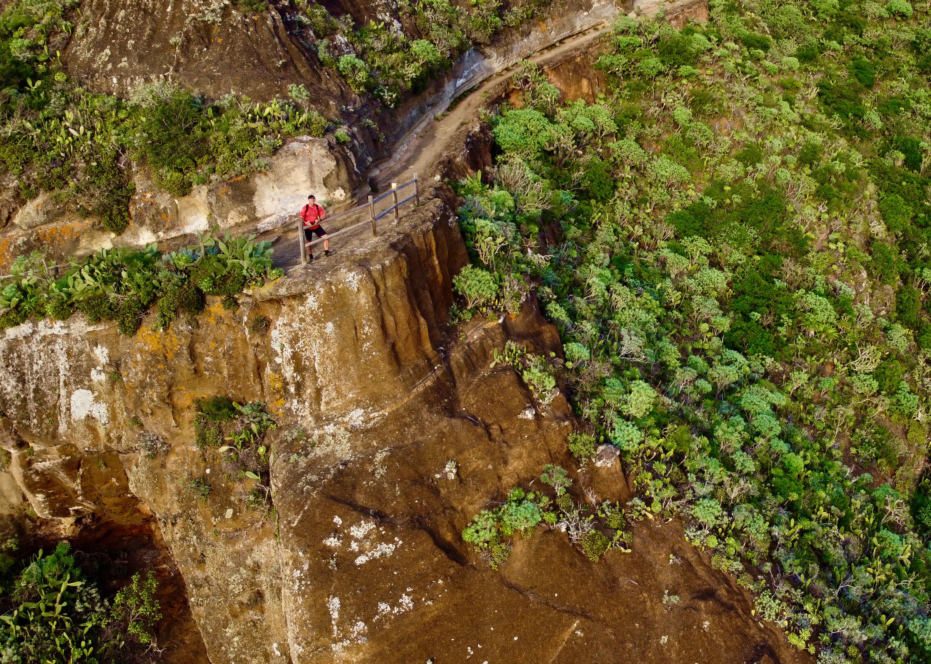
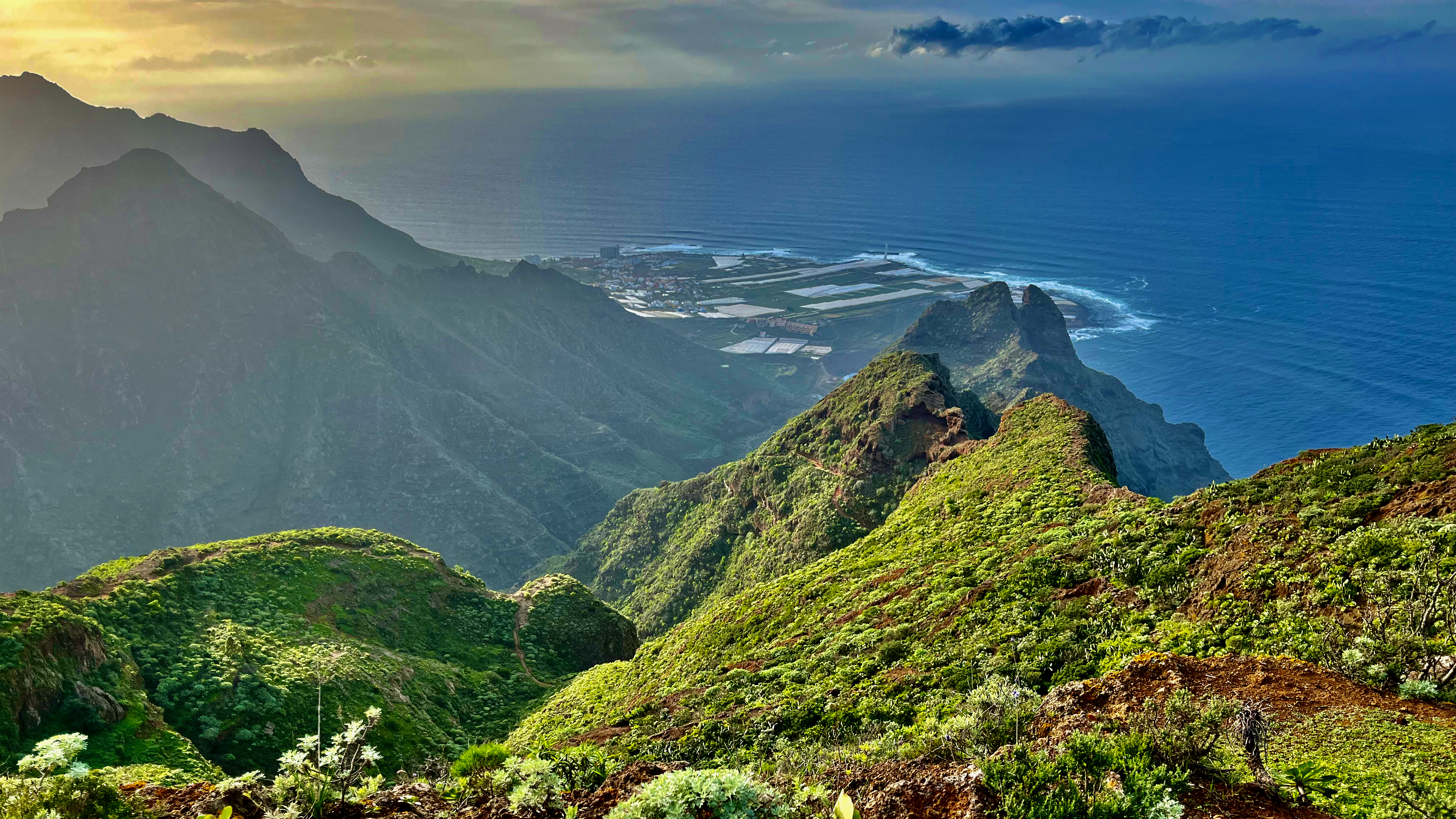
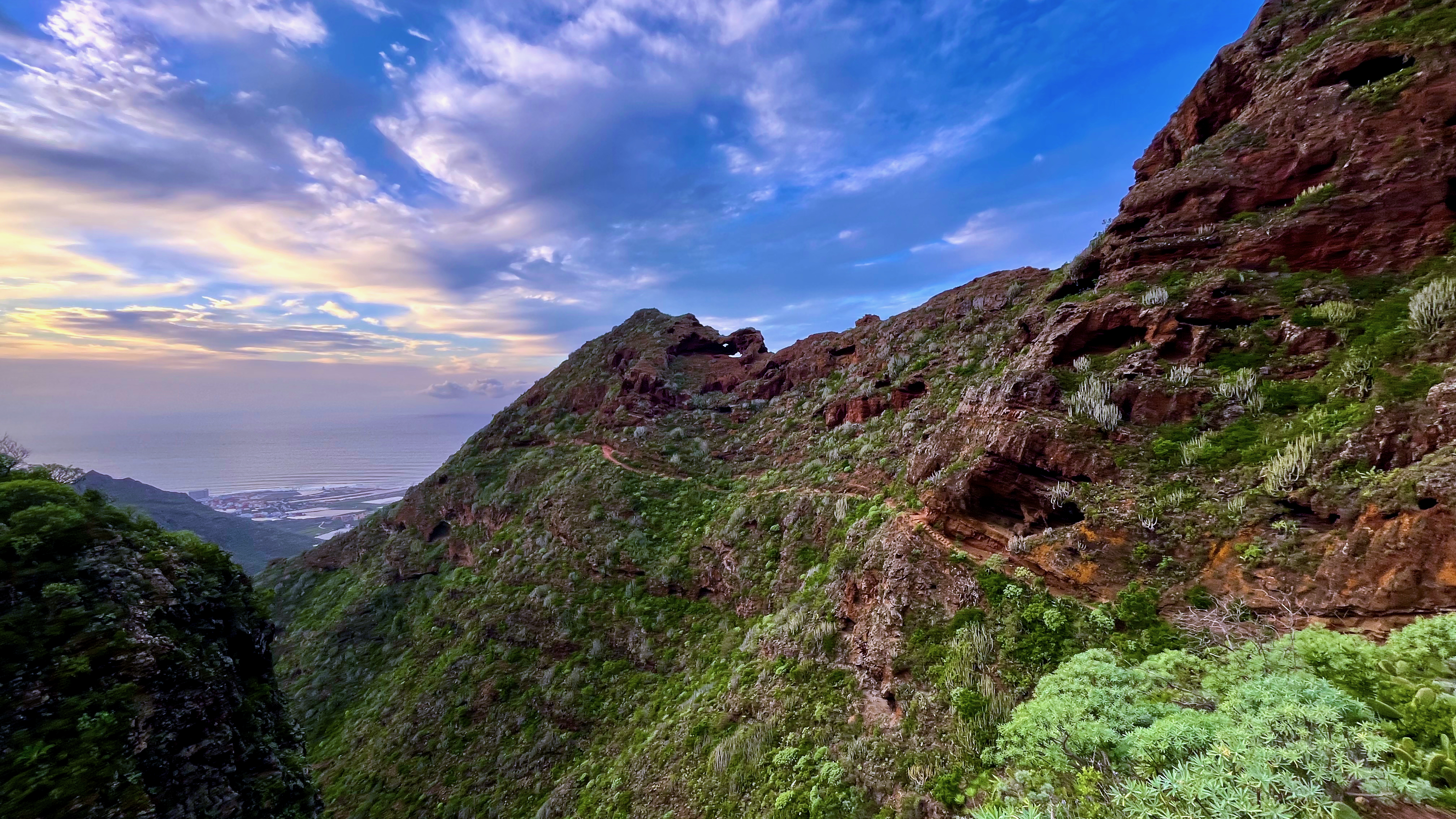
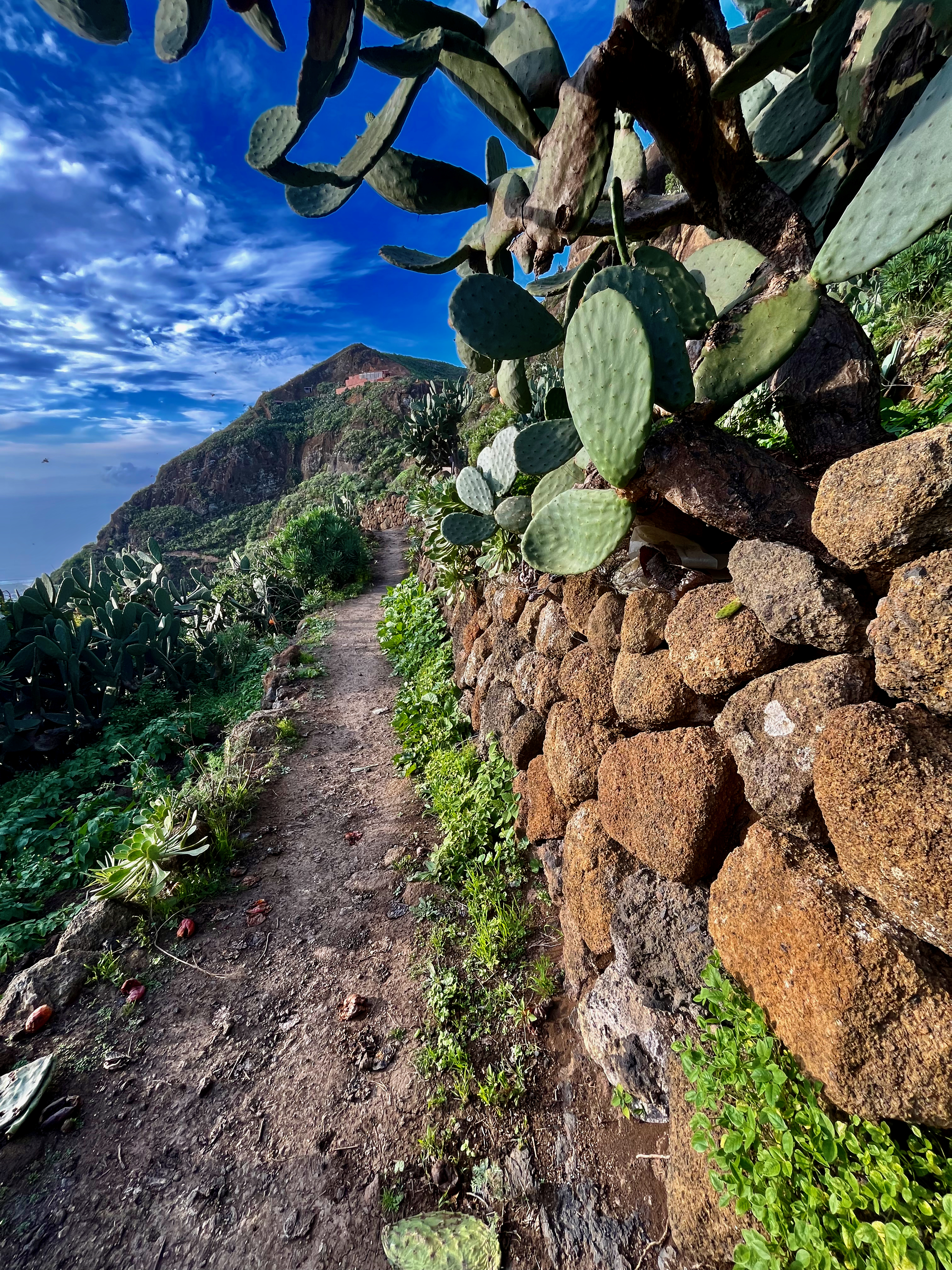
The specific trail is numbered PR-TF 10 Cruz del Carmen to La Punta del Hidalgo.
Definitely one of the best hikes on Tenerife island.
I caught 2 buses to get to Cruz del Carmen, off the main roadways.
From there it was 5.3km to Chinamada. And a further 4.5km to Punta del Hidalgo on the coast. A descent of about 916m on mixed surface, some sharp and volcanic. You need good shoes and plenty of water.

I had downloaded an AllTrails map, but never used it as trails here are very well marked.
It was warm in November. But not too hot.
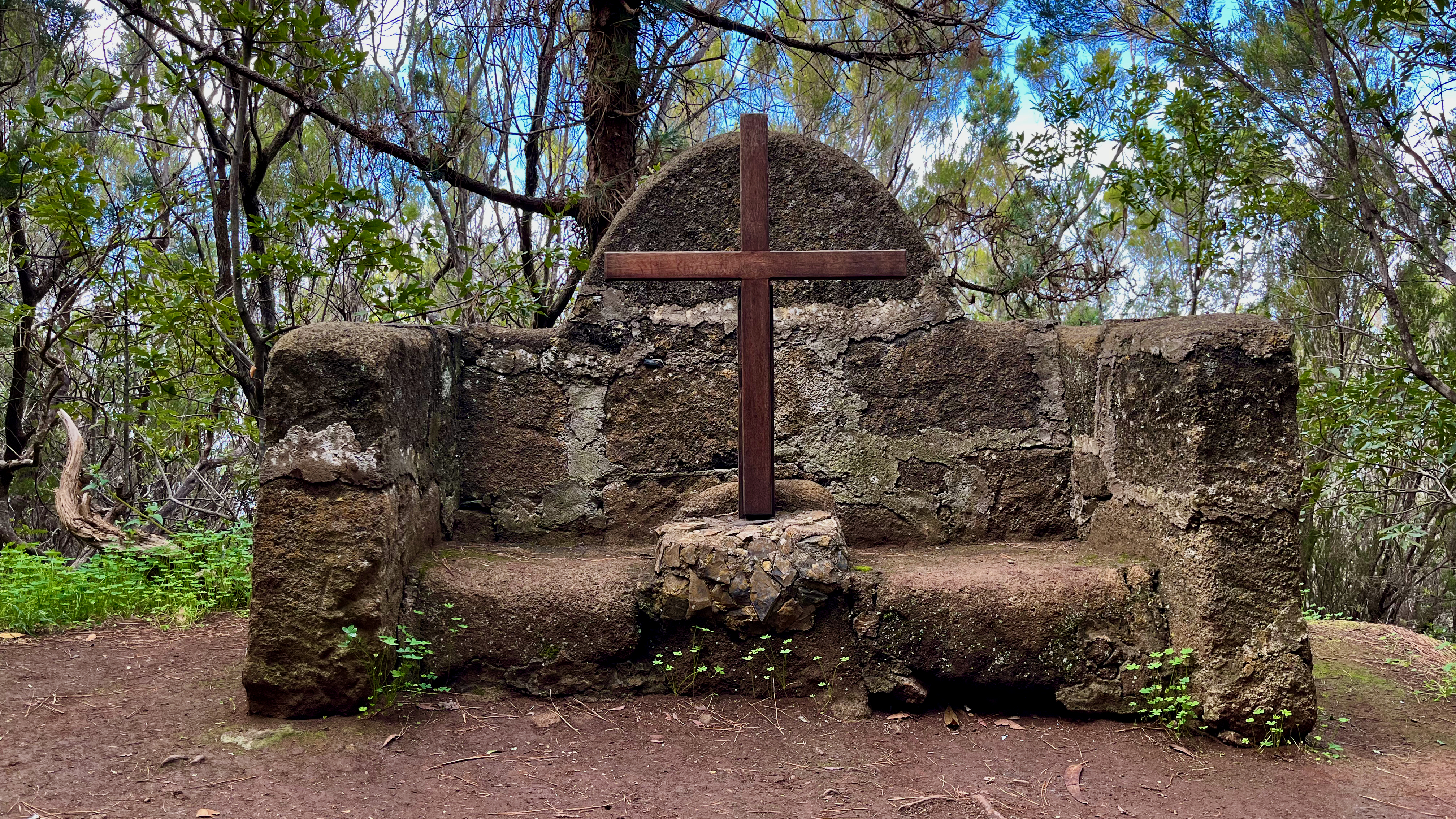
Near the tourist information office at the start, there is a weird bug.

Even more surprising was this bouquet set into a tree near the start.

Dropping in elevation, the vegetation changes. Near Cruz del Carmen it’s relatively lush laurel forest. After Chinamada it’s arid brushwood and cactus.
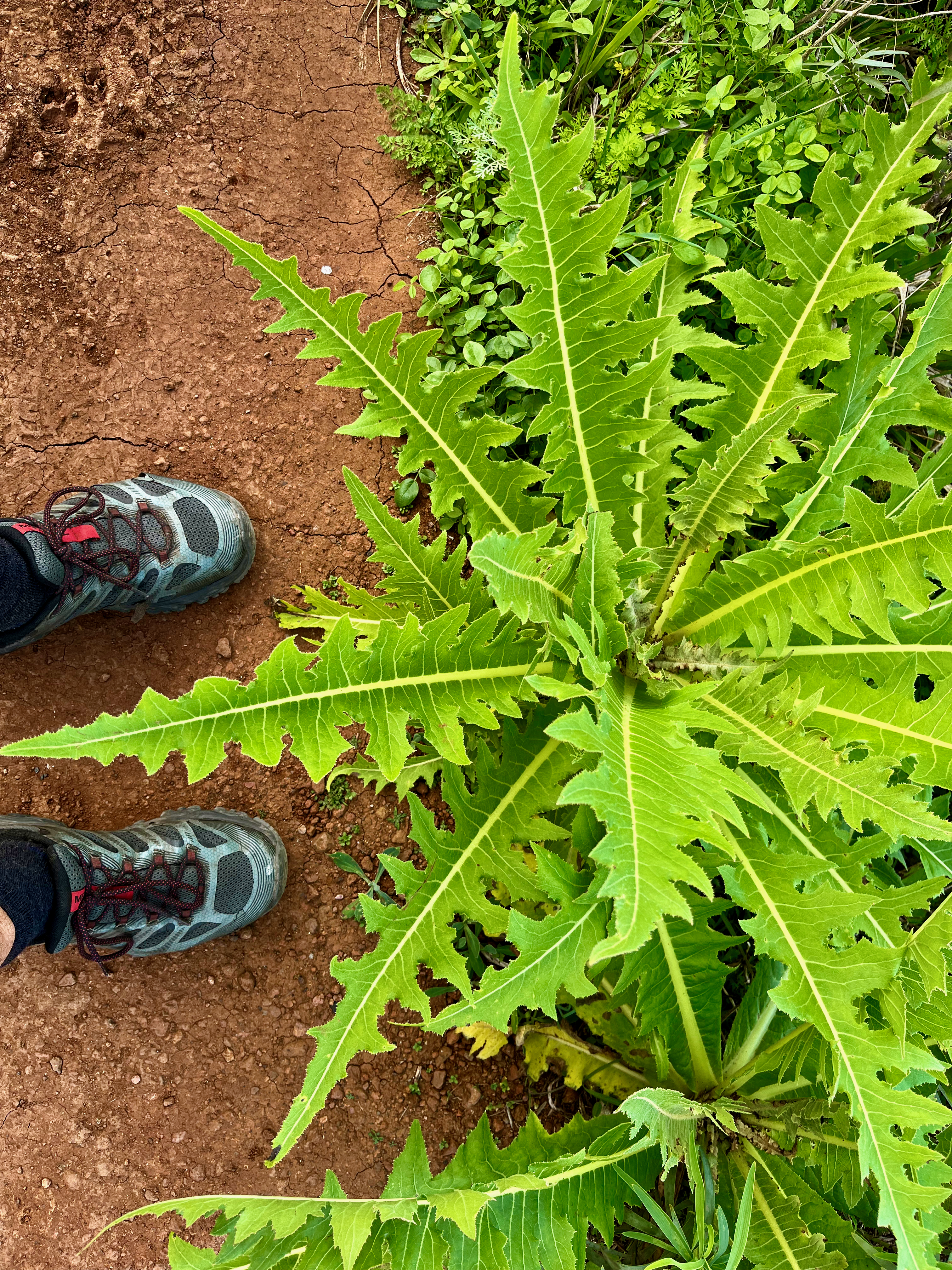
The only wildlife I saw was birds and lizards.
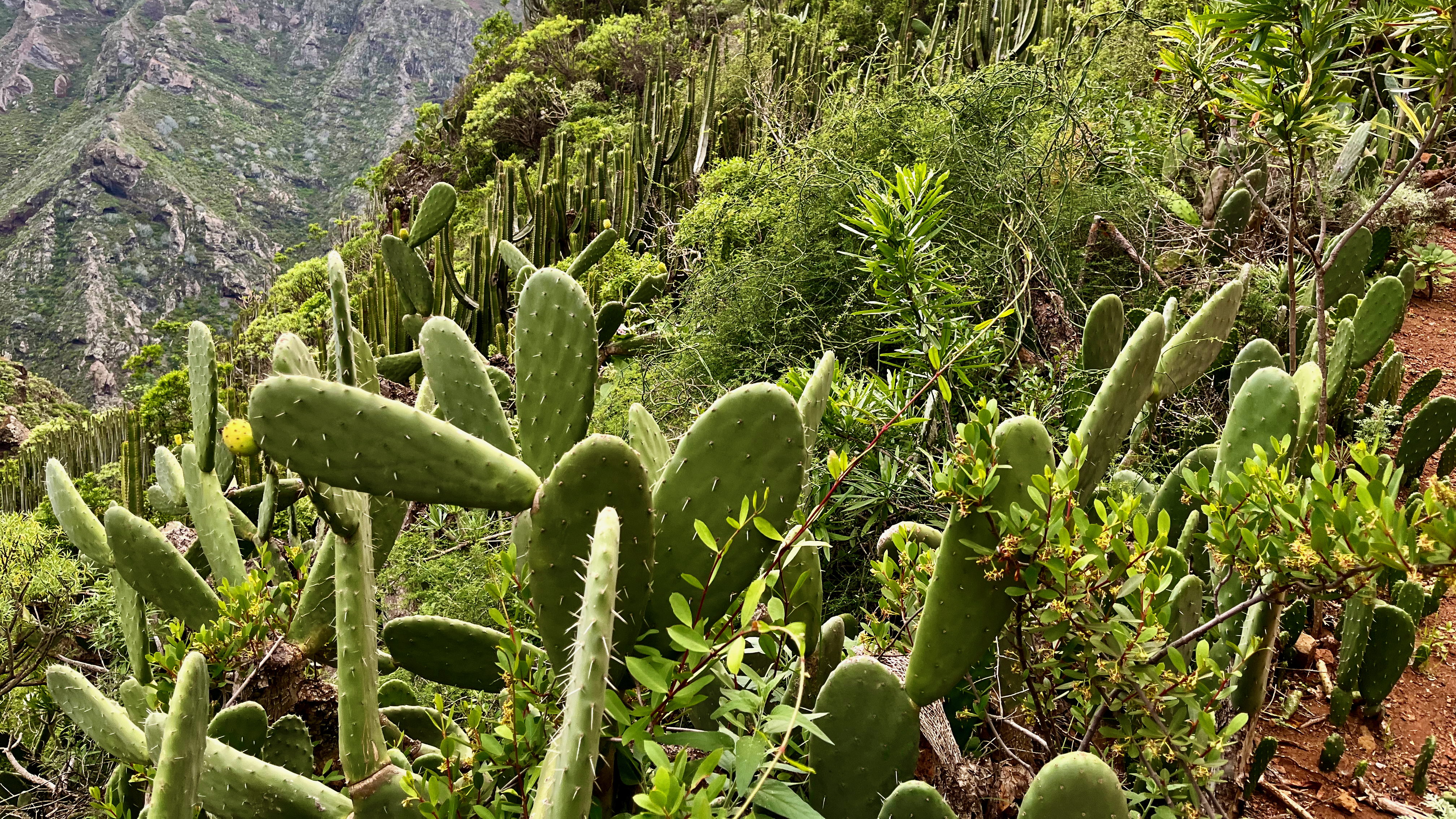
I would say the Chinamada to Hidalgo section is the more spectacular half. Plenty of steep cliffs — though nothing dangerous.
My favourite parts were while approaching the Atlantic. That’s Punta del Hidalgo in the distance.
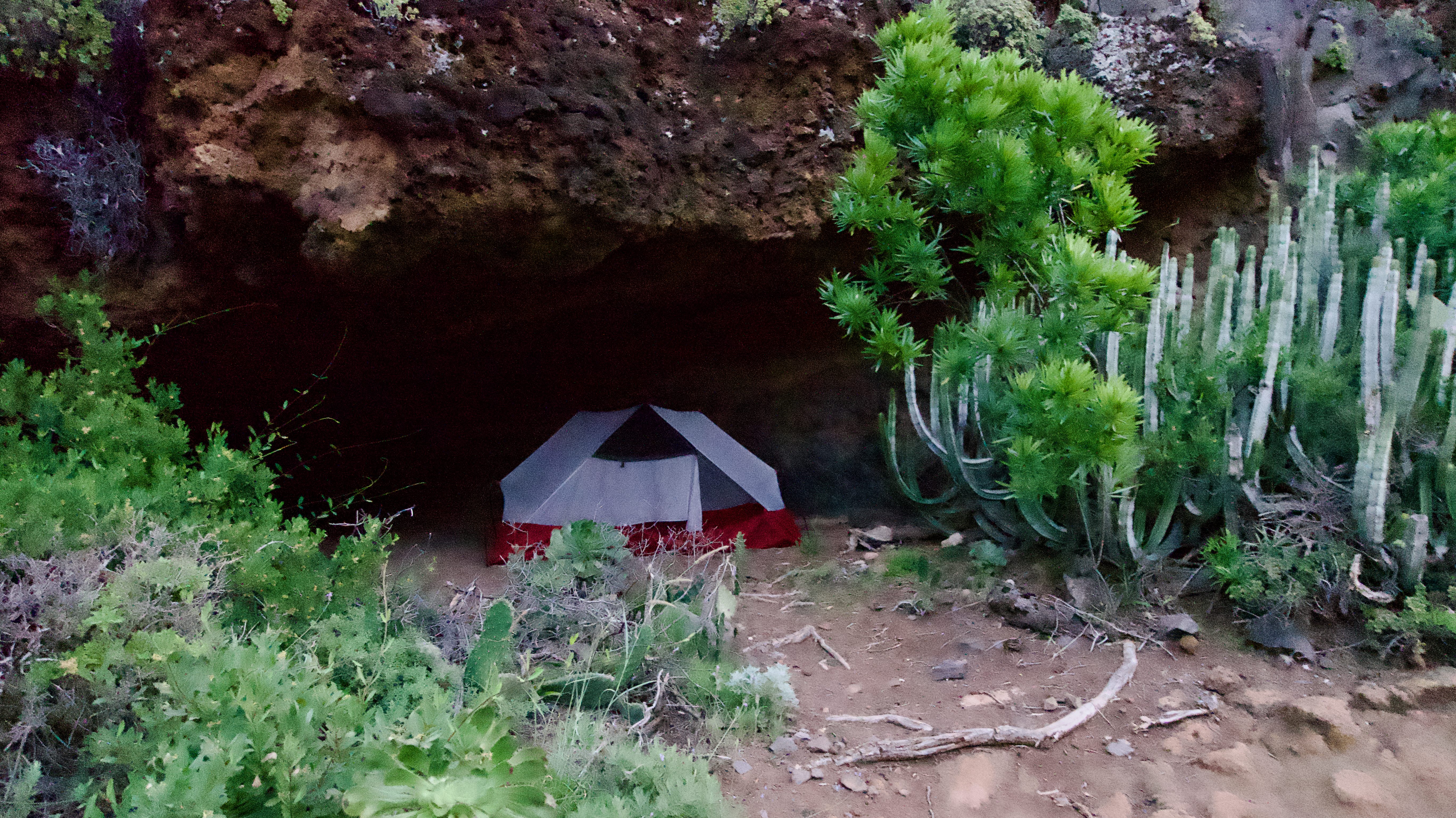
Indigenous people lived in natural caves on this part of the island. As did I. 😀
Once I got to town next morning, the main attraction is the Punta del Hidalgo Lighthouse, the strangest I’ve ever seen. Unequal and irregular columns of increasing height rising from a triangular base.
Built 1992, it’s 50-metres-high (160 ft).
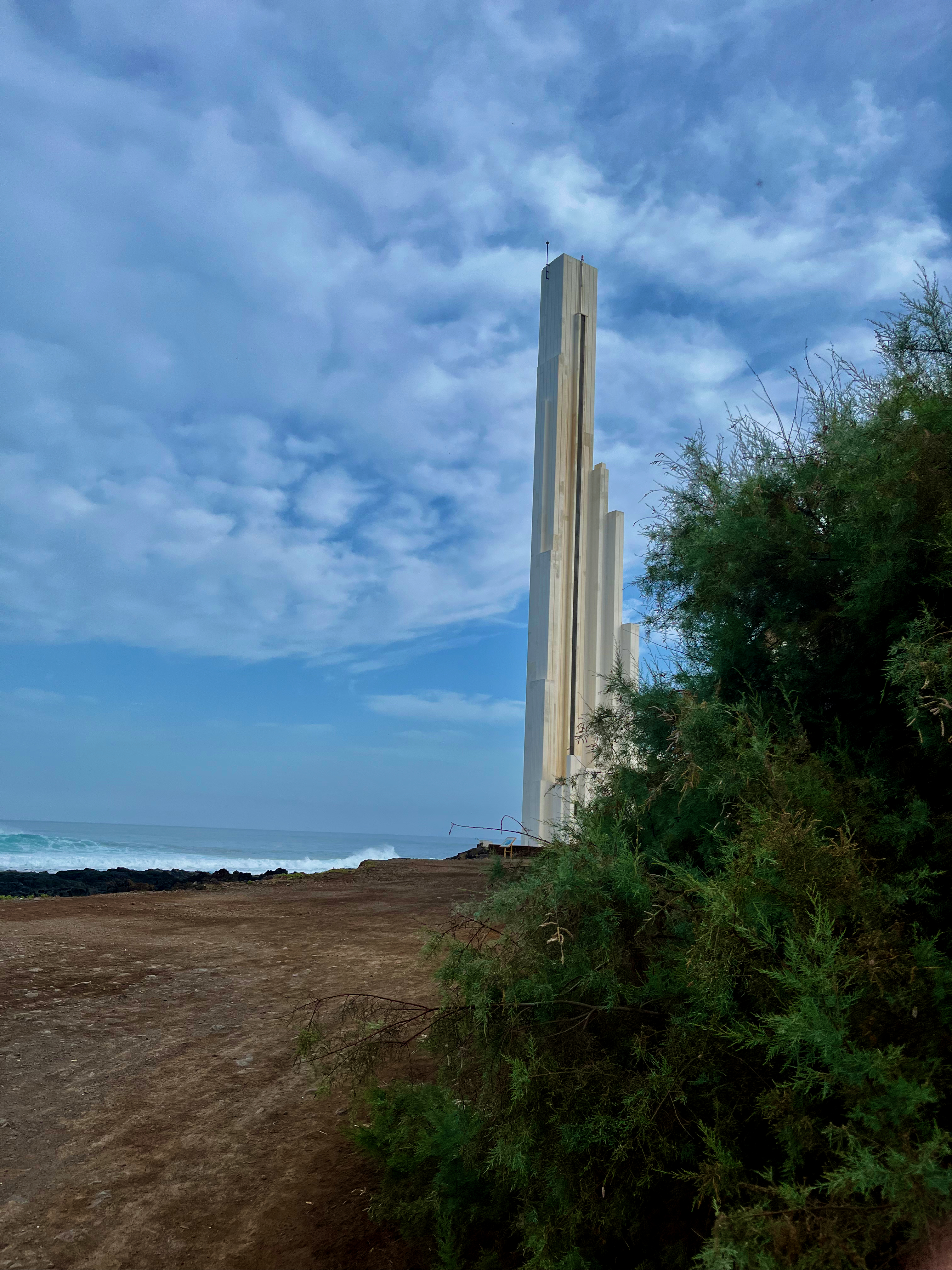
This is the end of the line for the bus along the coast. A quaint town.
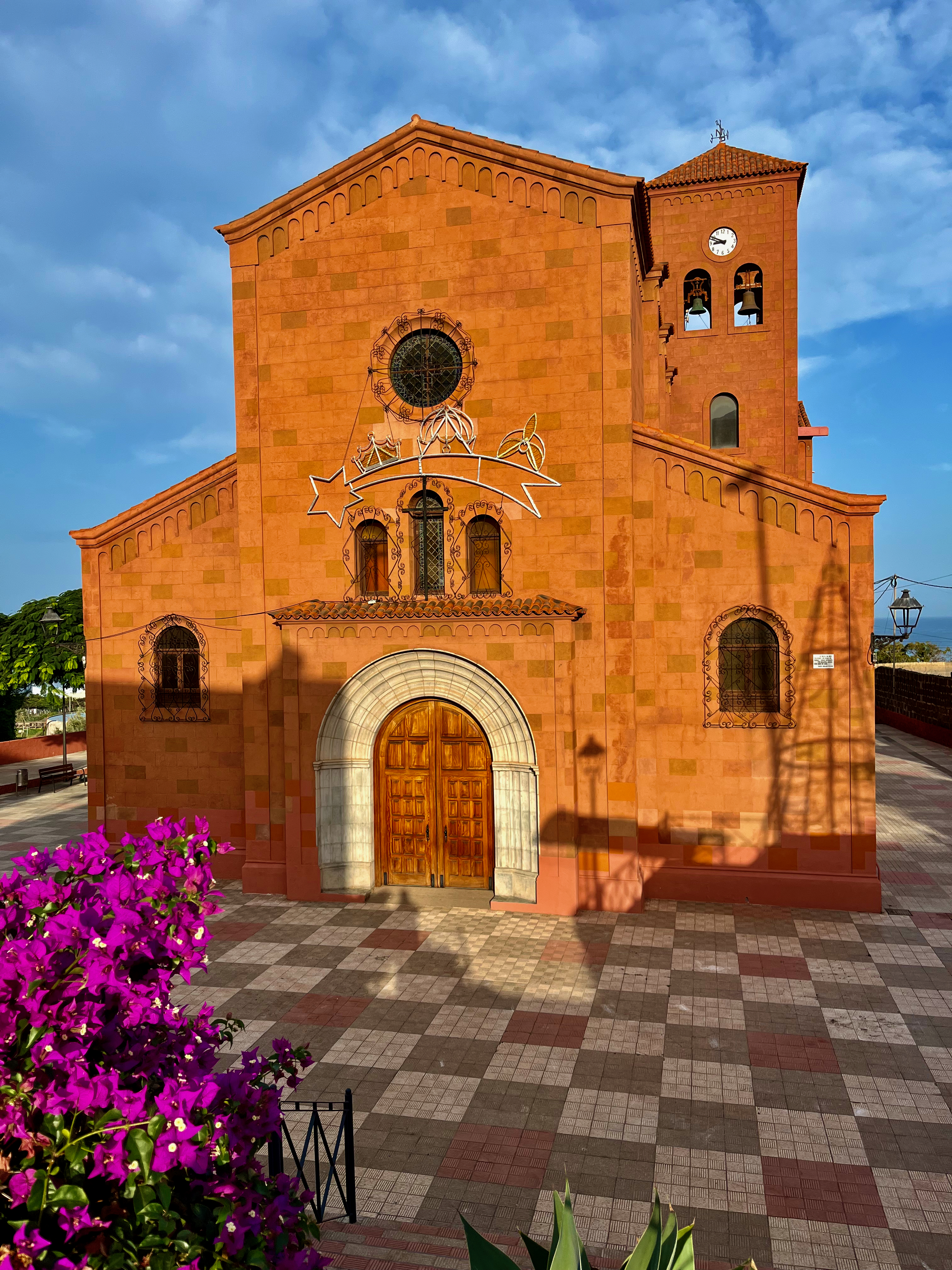
I caught a different bus back to the main highway . Bus service on Tenerife is excellent running every half hour or less, even on Sundays.
related – Hello Canary Islands
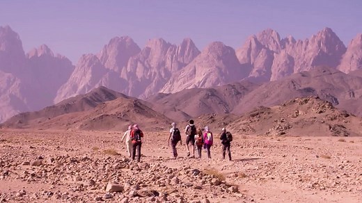
The 170-km Red Sea Mountain Trail (RSMT) is touted to be the “first long-distance hiking trail in mainland Egypt and the sister project of the award-winning Sinai Trail“.
Of course walking pilgrimage in Egypt has been a tradition for thousands of year.
Connecting a series of ancient trade, travel, smuggling and shepherd routes into a single trail for modern times it is a 170km path taking most hikers 10 days to complete.
Created by Bedouin of the Maaza tribe – who manage the trail today on behalf of the wider Bedouin community – the Red Sea Mountain Trail gives a way into one of the most untrodden, little-known and beautiful wildernesses in the Middle East and perhaps the world.
From vast desert plains to deep gorges and high summits and from crumbling Roman towns to prehistoric rock art and chapels of Egypt’s Desert Fathers, the trail shows the best of the region’s inimitable beauty and seeks to open new kind of tourism that truly benefits its communities.
official website
You can explore the RSMT by clicking through the 10 days of a Virtual Thru Hike.
Or watch a short video on CNN.
It looks great.
We’ve added both the RSMT and the Sinai Trail to our list of the best hikes in Africa.
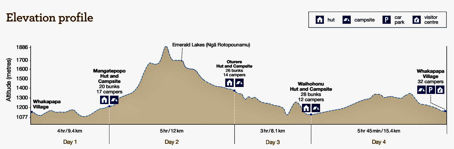
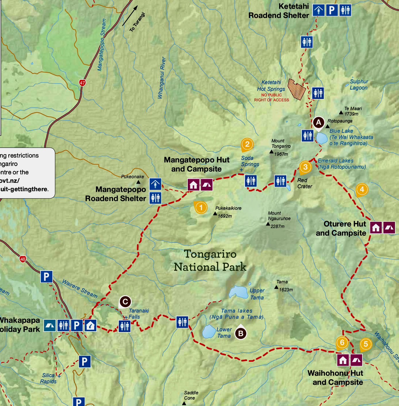
Tongariro Northern Circuit is one of our top 10 hikes in the world.
Our favourite multi-day tramp in our favourite hiking region of the world — glorious New Zealand. 😎

World → Australasia → New Zealand → Tongariro Circuit
Click PLAY or watch a 1-minute introduction on YouTube.
For details click over to our Tongariro Northern Circuit information page.
A 160km multi-day hiking trail running the length of the Grampians (Gariwerd) national park will open to the public on Saturday, becoming one of the longest trails in Victoria.
Connecting some of the park’s most spectacular peaks, the Grampians Peaks Trail is a 13-day/12-night journey starting at Mt Zero and travelling south over the ranges that make up Gariwerd and ending in the town of Dunkeld, 270km west of Melbourne. …
Guardian
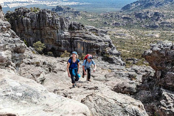
I visited the Addo Elephant National Park as a tourist a few years ago and didn’t find out about this fantastic hike.
Click PLAY or watch it on YouTube.
Read a trip report – Alexandria Hiking Trail | Addo
