The area is largely rocky desert with an average elevation of more than 900 m (3,000 ft) above sea level. The highest peak, Mount Tahat, is at 2,908 m (9,541 ft). …
The jumping off point is the city of Tamanrasset, population about population of 93,000.
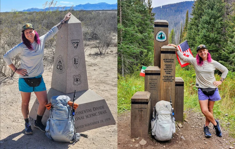
You’re not likely to cross paths with trail name Sugar because this route is so remote, so difficult.
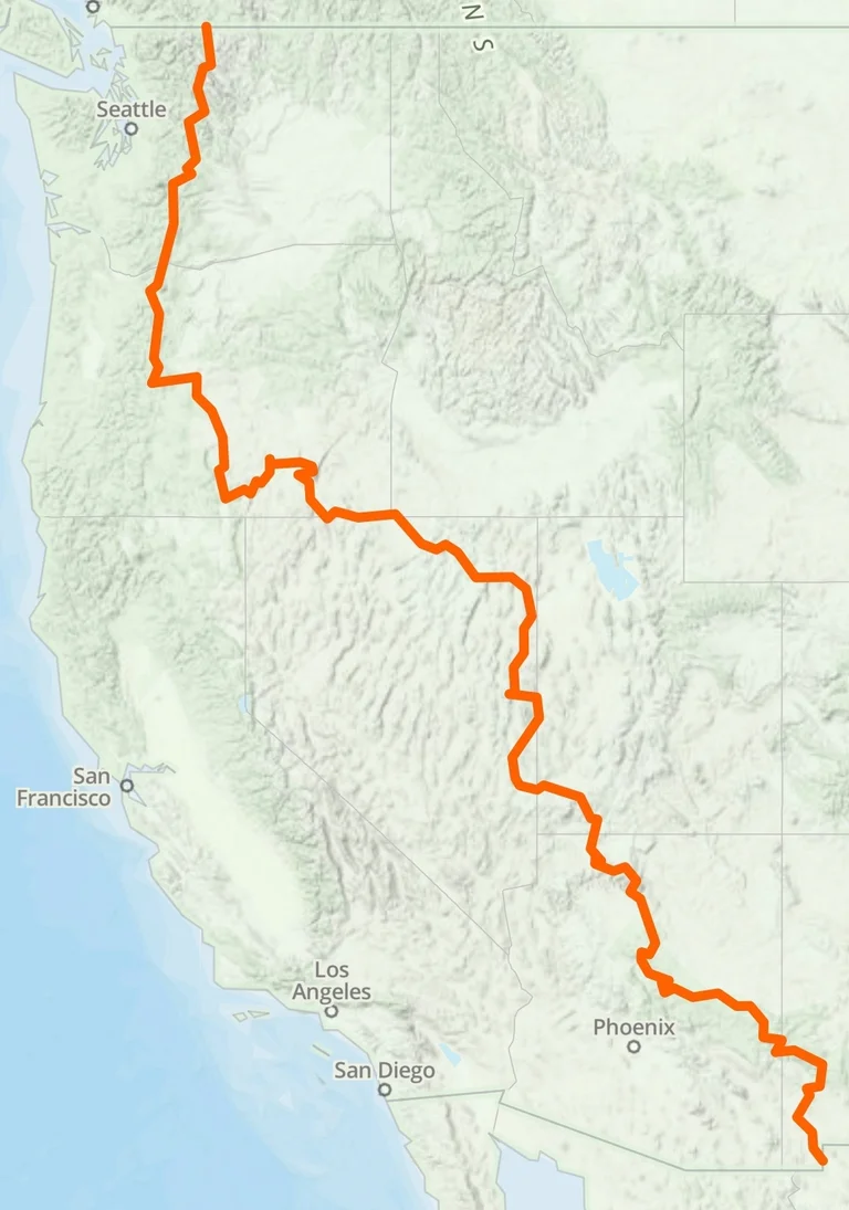
Two trails piqued Harrod’s desert hiking interest: The 500-mile Mogollon Rim Trail in Arizona and the 750-mile Oregon Desert Trail. She wondered if she could somehow connect them. …
… Nevada’s Basin and Range Trail proved to be the missing piece. The 1,090-mile route through eastern and central Nevada allowed Harrod to begin planning her diagonal traverse from the barren deserts of New Mexico to the glacial peaks of Washington. …
During the summer months, temperatures along the trail can exceed 45 °C (113 °F) leading to risk of heatstroke and dehydration. Most people walk the trail during winter when the days are cooler.
Note. The video incorrectly mentions that Mt. Toubkal 4,167 m (13,671 ft) requires a guide. Not so. You can easily do it independently though it’s longer than an easy day hike. And altitude sickness is a big risk.
Moab is a fantastic jumping off point for outdoor adventure, a special mecca for crack climbing.
But the “strip” can be loud, ugly, hot and aggravating. Once you get away from the highway, the town’s much prettier. They have a good library and great bike trails.
Moab … in eastern Utah … is 233 miles (374 km) southeast of Salt Lake City and 354 miles (569 km) west of Denver, Colorado …
The population was 4,779 at the 2000 census. … Moab hosts a large number of tourists every year, mostly visitors of the Arches and Canyonlands National Parks, which are located close by. The town is also a popular base for mountain bikers who come to ride the extensive network of trails including the famed Slickrock Trail …