cycling Lost Lake, Whistler B.C.

Whistler Ski Resort is a cycling mecca in the summer.

There’s something for everyone within a very short radius.

Click PLAY or watch it on YouTube.

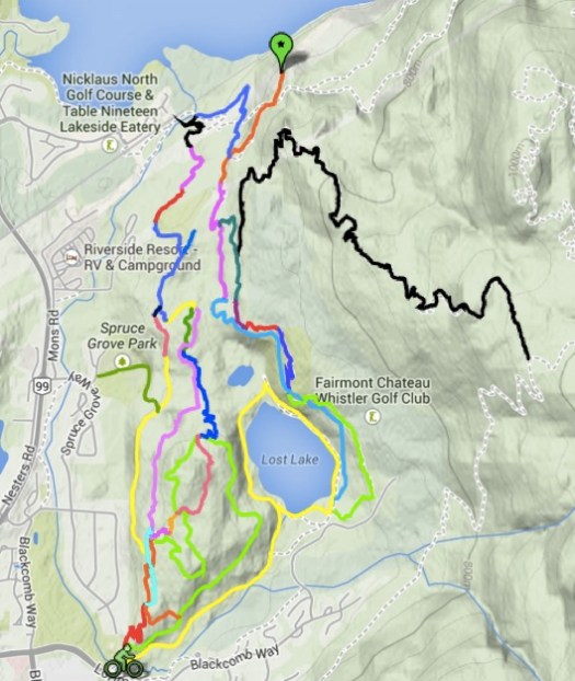
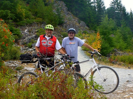
Rockin’ Ronnie and I thoroughly enjoyed the medium difficulty network around Lost Lake. (The one short black trail we tried was too technical.)

Lost Lake cycling map

A great day. Next time we plan to try the easier downhill tracks off the ski lift. 🙂

14851749928_a274d573e2_z

more photos

hiking Acadia National Park – meh

Don’t get me wrong. I liked Acadia National Park in Maine. But as a hiking destination, you can do better.

Why?

  • The most famous hike, the Precipice Wall, is closed every year from March 15 – August 15th. Peregrine falcons are nesting.
  • Valley Cove Wall, Jordan Cliffs and Beech Cliffs are also closed March 15 – August 15th.
  • no legal backcountry camping
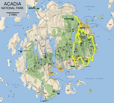
  • it’s often crowded, over 2 million visitors a year in a very small area. Only about 120 miles of official trails.
  • only two campgrounds in the National Park: Blackwoods and Seawall
  • On the bright side, there’s no need to hike to and from your vehicle. Using the free Park bus shuttle opens up all sorts of interesting options.

    And the trails are good. The views excellent.

    Acadia map

    I spent only 2 days in Acadia. Then set off for Mt Washington, New Hampshire.

    … But if I went back to Acadia, I’d plan to mountain bike the Carriage Roads rather than hike.

    Tour de Great Himalayan Trail

    I mountain biked 2 days of the GHT (Annapurna) last year. Glorious. But tough.

    Stretching for more than 1700 km (1056 miles) across Nepal, the Great Himalaya Trail is making a bid for becoming one of the top long distance trekking routes in the world.

    While the infrastructure along the trail is still being built, it has already become a mecca for adventure.

    In the video below, we get a 4-minute look at the GHT from some mountain bikers

    Adventure Blog

    Click PLAY or watch it on YouTube.

    Facebook page.

    cycling Huayhuash

    Joey Schusler:

    The goal: to circumnavigate one of the most wonderful and wicked mountain ranges in the world – the Huayhuash, by bicycle.

    This was all a spur of the moment idea; part of the vicious cycle of making every adventure more thrilling than the last.

    January was the off-season, or rainy season, for the Andes so the wilderness would be completely desolate. The three friends hoped to be the second group to complete this trek on bikes. However, they underestimated the relentless weather they would encounter as they traveled for a week above treeline. …

    Official Selection: 2014 5Point Film Festival

    Click PLAY or watch it on Vimeo. (13 mins)


    My Huayhuash hike 2004 was my personal best ever. I’d much rather walk it than cycle. 🙂

    mountain biking the GR20

    Dan Harmon and Dale WeathersonAre you crazy?

    It’s super difficult to walk!

    scrambling GR20

    MTN bike GR20

    the GR20 is notorious as being one of the most scenic, yet most difficult hiking trails in Europe. The harsh, granite terrain rises steeply out of the Mediterranean on the French island of Corsica. In July, when the snow on the peaks has melted and the refuges are open, the route becomes home to thousands of walkers who traverse the island in about two weeks. They move from refuge to refuge, eating and sleeping in relative comfort before the next stage. One must therefore question why anyone would choose to attempt to complete this route, almost 200km in length with more elevation change than Mt Everest, by mountain bike in early May!

    MTB’ing Corsica

    cycling the Carretera Austral

    In Chile.

    Austral spokes Carratera bikes

    Mike Howarth:

    … a grand feat of engineering linking the remote and isolated communities of Puerto Montt in the north with Villa O’Higgins in the south. Perhaps a curiouser byproduct is that of the adoption of this rough isolated road spanning 1200 kms by cyclists. Voted one of the top ten cycling destinations in the world, each year more and more come to make their pilgrimage to the holy grail of adventurous cycling. …

    see Mike’s photo journal – Carretera Austral: A Ripio Oddeseey

    There’s GREAT access to remote hiking from that roadway, by the way.

    day hiking the Fanie Botha

    trip report by site editor Rick McCharles

    I would have loved to trek famed multi-day Fanie Botha Trail in South Africa.

    But the best I could do was to day hike sections:

    • Lone Creek Falls
    • Bridal Veil Falls
    • Mac Mac Falls
    • Mac Mac Pools

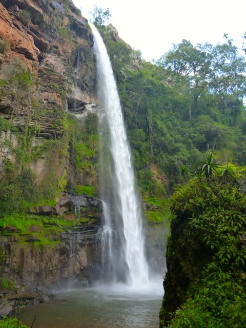
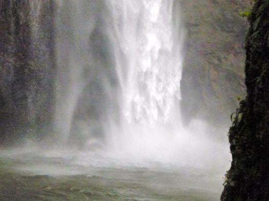
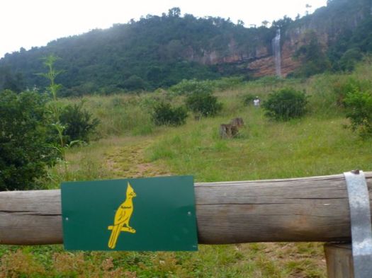
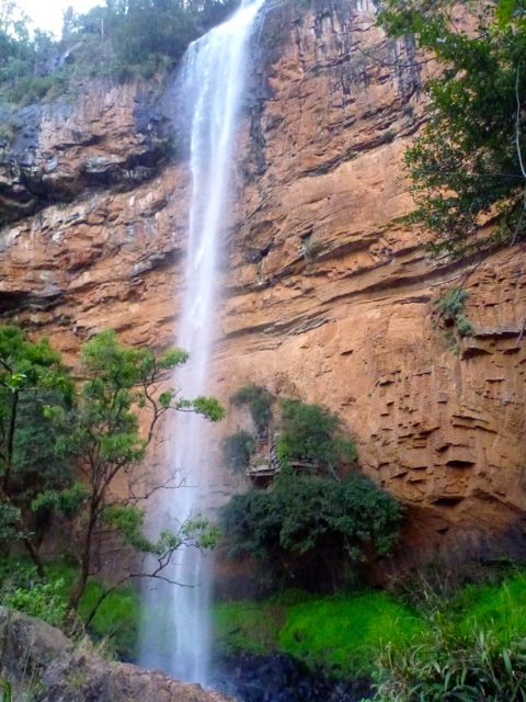
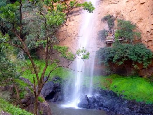
    Lone Creek Falls, a National monument, is yet another of the dozens of impressive waterfalls close to Graskop, South Africa.

    P1280774

    P1280775

    Nearby are the equally impressive, but much more popular, Bridal Veil Falls.

    I parked at Ceylon Hut on the Fanie Botha, then ran to Bridal Veil. The trail here is signed for mountain bikes, as well.

    P1280785

    P1280786

    P1280787

    From the base of the falls, there’s a rough scramble up the escarpment. Scenic and challenging.

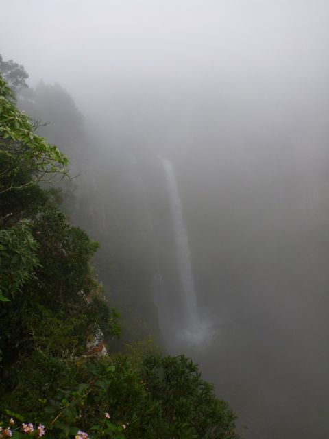
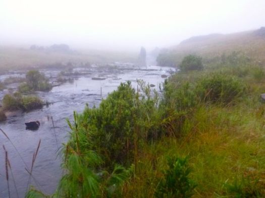
    Mac Mac Falls is another National monument. I’d been warned the weather here is often misty and/or rainy. But this was the only day I got the typical slogging in the fog.

    P1280804

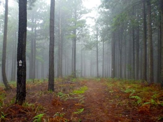
    Parking at Mac Mac Falls, I hiked both directions on the Fanie Botha. Towards President Burger Hut (… yep, that’s the real name) is was mellow forest trail.

    P1280805

    Towards Graskop Hut you walk the top of a cliff. It must be very scenic, when the clouds are not so low.

    P1280809

    I’m assuming those are the Mac-Mac Pools. 🙂

    I obviously did not hike far enough to reach the best of them.


    hiking/biking Annapurna day 6

    by site editor Rick McCharles

    After 15 days continuous hiking on Manaslu and Annapurna, I was pleased to be able to saddle up on a mountain bike.

    P1260507

    Mustang Mountain Bikes opened in Muktinath in 2012. It’s run by Jurriaan Prakke (NED) and a Nepali partner.

    Most ride Muktinath 3760m 1 day down to Jomson 2800m (airport). Or 2 days down to the hotsprings at Tatopani 1190m. I paid $30 / day for a “basic bike” to the hot springs. Money well spent. 🙂
    P1260514

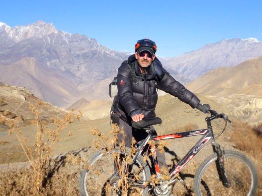
    Jurriaan, the owner, was riding down same day as me. We set off together.
    P1260522

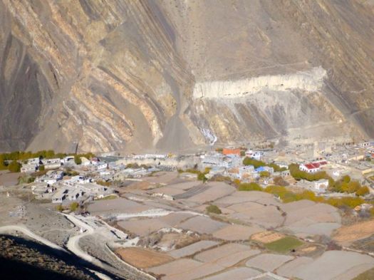
    Downhill, dry and open, cycling is fairly easy on the Tibetan plateau.

    I stopped often for photos.

    P1260518

    Mustang gave me recommendations on where to eat. And where to sleep en route. Much appreciated.

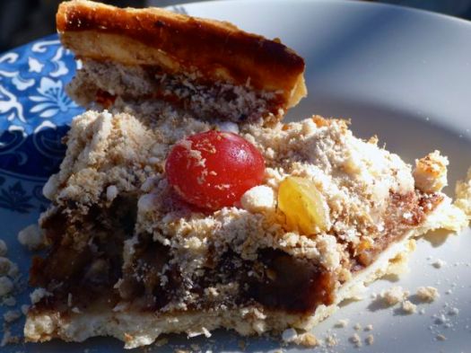
    Jurrian himself had recommended “Applebees” in Kagbeni, my favourite village the last time I hiked Annapurna.
    P1260529

    This is the gateway to the (formerly) forbidden Kingdom of Lo Mustang, getting more popular with trekkers in recent years.
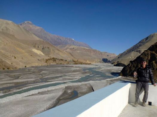
    P1260532

    I wandered Kagbeni for an hour or more. It’s a very interesting town.
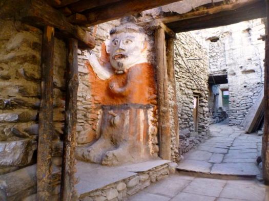
    P1260536

    Descending, I often needed to decide whether to take the river (easier) or the road (higher & dustier). Most often I opted for river, sometimes to my grief.
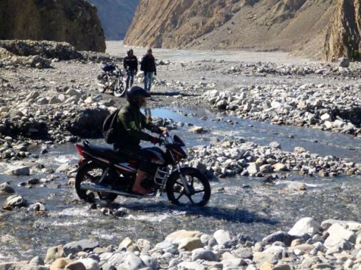
    P1260550

    There was a fair bit of hike-a-bike in these sections.

    P1260552

    I stopped in the big city of Jomson for lunch. And to check email.

    Then continued on to the recommended stop at Marpha.

    P1260564

    Marpha is wonderful.

    600px-Goats_in_MarphaI checked out the monastery.

    Marpha roof

    Then climbed up above town.

    P1260574

    Tourism, apple growing and mule rearing are the means of survival.

    All the Mustang rental cyclists that day stayed in the recommended guesthouse in Marpha. Room price was only $1. Lodges on this side of the Annapurna Circuit were mostly empty, trekkers now flying out of Jomson. Or catching motor vehicles down the mountain.

    One hope for the future is mountain biking getting more popular

    All-in-all, that was one fantastic cycling day. 🙂

    One sour note … On a late night walk through Marpha a healthy dog decided to playfully nip my Achilles. Not appreciated, I can tell you. I’ve never taken the 3 shots required for Rabies.

    see high resolution photos from this day on flickr

    day 1 | day 2 | day 3 | day 4 | day 5 | day 6 | day 7 | info

    Mt Muller loop, Washington

    trip report by site editor Rick McCharles

    In Day Hiking Olympic Peninsula (2007) by Romano, one adventure caught my eye:

    Mount Muller
    13mi loop
    3200ft elevation gain

    click for larger map
    click for larger map

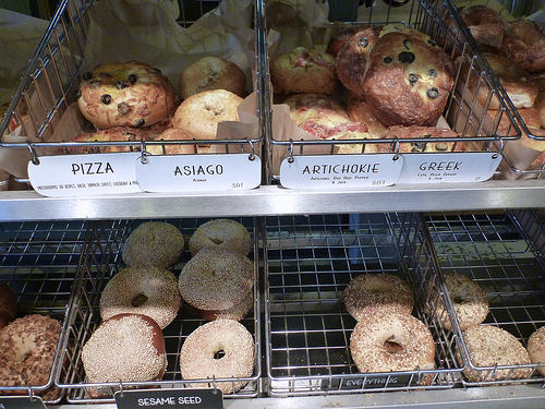
    En route to the (easy to find) trailhead we stopped at the excellent Olympic Bagel in Port Angeles.

    CARBO loading
    CARBO loading

    13 miles … how tough could it be?

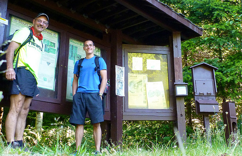
    Muller trailhead

    … a low-elevation peak located in the northern region of the Olympic Mountains. … Clallam County …

    Mount Muller is, however, the county’s point of greatest prominence (also known as the COGPP) and the county’s only peak with over 2000′ of prominence. …

    … If the Mount Muller summit is the only goal, it can be reached in 5.3 miles from the west end of the trail system, or it can be reached in 7.5 miles from the east end of the trail system.

    Many trail users opt to hike the entire 12.8-mile loop. The mountain is accessible year-round, and the Mount Muller Trail is open to non-motorized use only (i.e. hikers, bicyclists, equestrians, snowshoers).

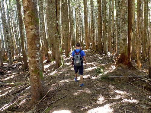
    … The ridgetop of the peak is primarily comprised of thick evergreen forests on its west side and rocky outcrops interspersed with forests on its east side …

    ridgewalk

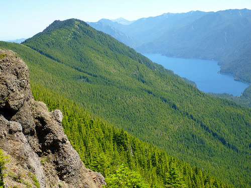
    … views from the mountaintop can be spectacular. Mount Olympus, Lake Crescent, the Strait of Juan de Fuca, Sol Duc Valley, among other notable areas …

    Crescent

    A recreational use pass is required for each vehicle parking at/near the Mount Muller Trailhead.

    Summit Post

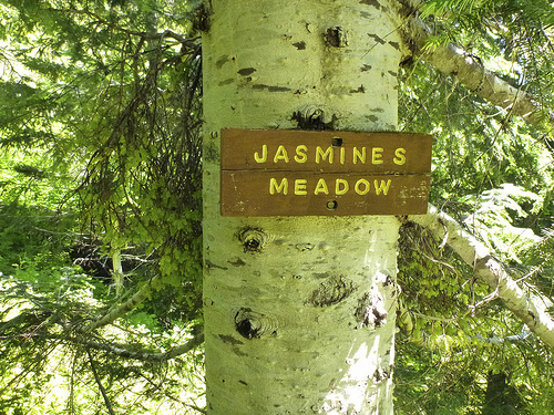
    This hike was a labour of love for Forest Service employee Molly Erickson. She and a crew of friends designed and built the trail, naming many of the landmarks after themselves. 🙂

    Jasmines

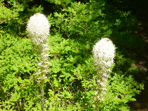
    The wildflowers are GREAT. I was surprised to see beargrass this far west.

    beargrass

    Turns out it’s …

    … found mostly in western North America from British Columbia south to California and east to Wyoming, in subalpine meadows and coastal mountains, and also on low ground in the California coastal fog belt. It is common on the Olympic Peninsula and in the Cascades, northern Sierra Nevada and Rockies. …

    After the loop, James and I enjoyed a soak in nearby Sol Duc Hot Springs.

    more photos

    related – 6min horseback trip VIDEO