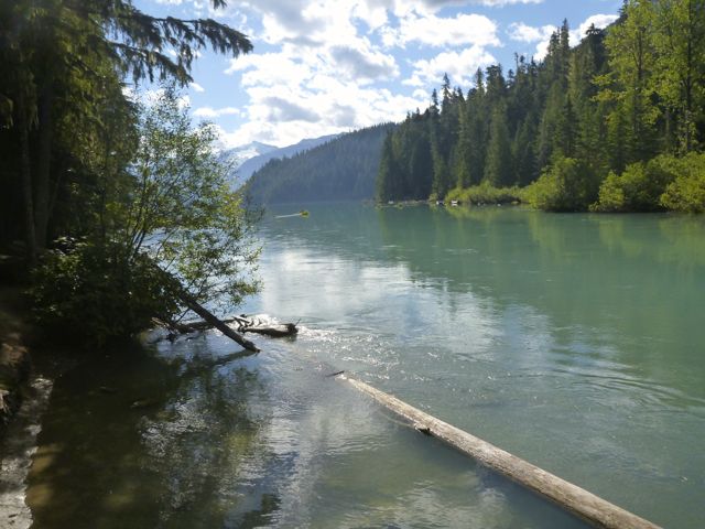
cycle hiking Galiano Island

Cycle hiking the Gulf Islands – trip report by site editor Rick McCharles

Galeano Island is 27.5 km long, 6 km at its widest point, and 1.6 km across at its narrowest point …

… population of 1258 inhabitants. …

GalianoMap

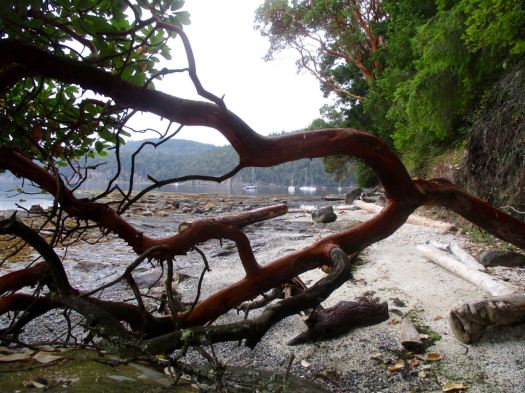
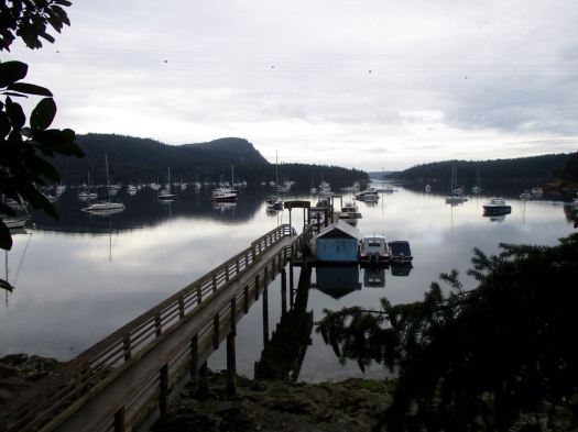
Seeing a campground an hour out from the ferry landing at Sturdies Bay, I went to check out Montague Harbour Marine Provincial Park.

Nice setup. But the cost was $25 / site for up to 4 people. I prefer the pricing model $10 / person.

So I turned my bike around and wild camped nearby.

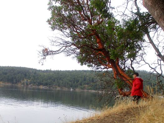
In the morning I packed up early and rode back to the campground to make coffee. There’s a good hike there called the Gray Peninsula Trail. About 2km.
IMG_1617

IMG_1619

IMG_1622

IMG_1625

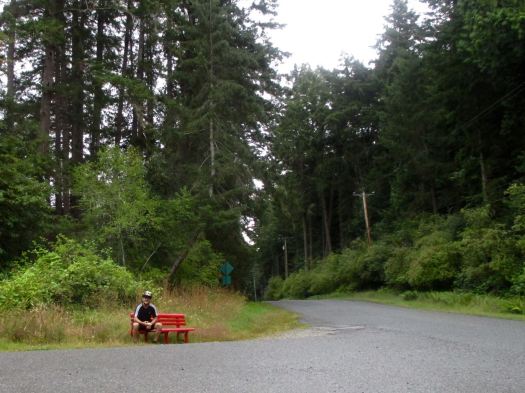
I cycled on to the Pebble Beach hike trailhead. Breakfast was cold pizza on this bench.
IMG_1626

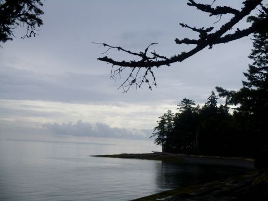
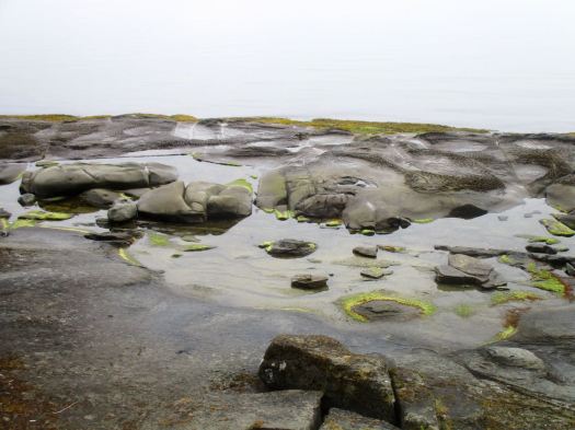
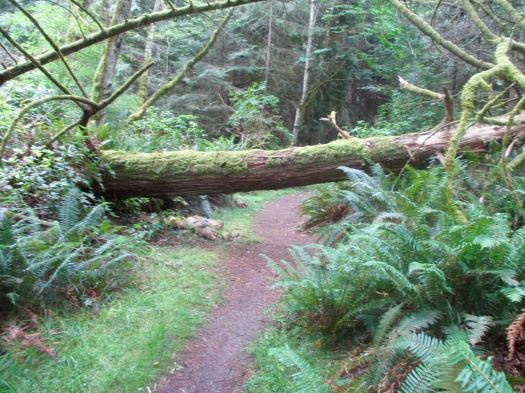
You reach the coast at Cable Bay. Then saunter over to Pebble Beach.
IMG_1629

IMG_1631

IMG_1632

IMG_1634

IMG_1635

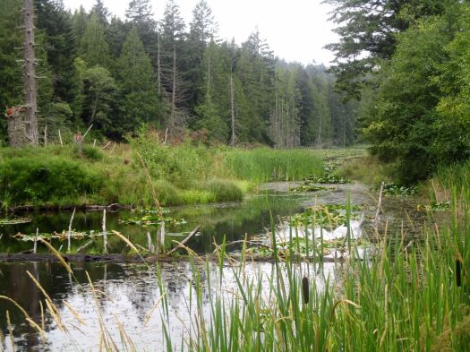
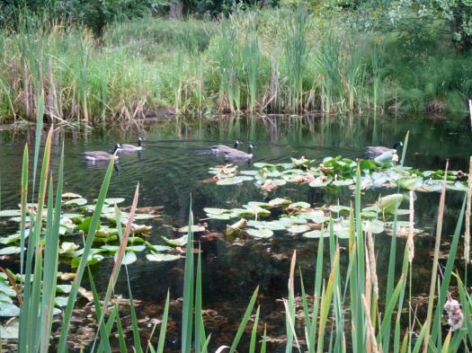
On a trail map it looked like I could cycle a mountain bike trail to Laughlin lake, the largest body of water on Galiano. That’s a bit risky on a hybrid bike. Happily, it worked.
IMG_1639

IMG_1638

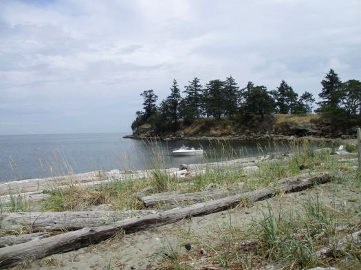
Four guys in this boat arrived for a picnic. Boat and kayak are the best ways to get to Dionisio.
IMG_1657

I returned via the dead end Bodega Beach Drive seeing only 2 vehicles in 3 hours. An ideal place to cycle.

The best hike on the island was yet to come – Bodega Ridge.

Bodega started much like any other hike, a welcoming soft temperate rain forest trail.
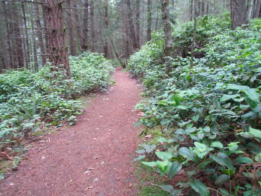
IMG_1659

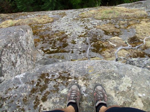
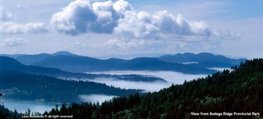
The fun starts when you get up on the ridge. A steep drop with marvellous views.
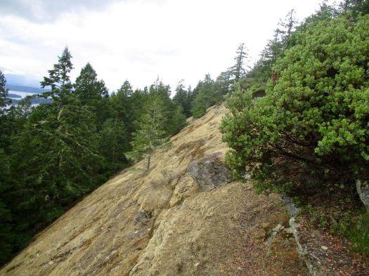
IMG_1662

IMG_1664

2-bodega-ridge-provincial-park

Galiano was a hard day for me. I could barely keep my eyes open on the ferry to Pender.
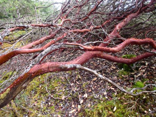
IMG_1665

I’d like to return one day. Kayak to camp at Dionisio. And climb Mt Galiano, the highest point on the island.
C-Level Cirque, Banff

trip report by site editor Rick McCharles

Elevation gain: 455 m (1,500 ft)
Maximum elevation: 1920 m (6,300 ft)

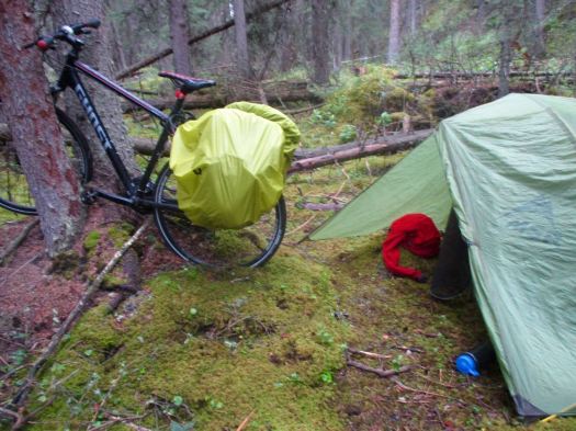
I’d wild camped the previous night, rushing to the first discrete spot I could find when thunder and lightning started.

IMG_1436

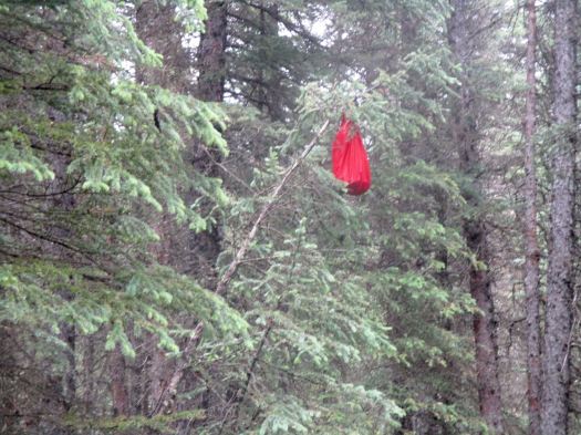
Hanging food in this kind of forest isn’t easy. This time I bent a small tree to the ground. Let it spring back to vertical with my bear bag in place.

IMG_1437

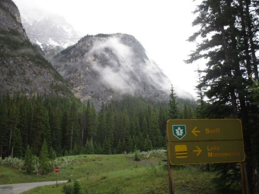
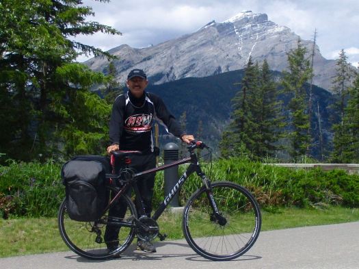
Next morning I loaded up the panniers and headed for the trailhead. That had been my first night ever bike camping. 🙂

My goal was C-Level Cirque on nearby Cascade Mountain. One of the most popular day hikes out of Banff.

Looked like new snow had arrived the previous night.

IMG_1440

The trail begins its ascent through a pleasantly varied forest of lodgepole pine, aspen and spruce, where calypso orchids, blue clematis and many colourful violets bloom in early summer.

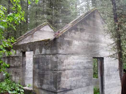
Within a half-hour you reach two skeletal buildings, the remnants of an anthracite coal operation that flourished in the area from 1904 to 1922. A town of nearly 1,000 inhabitants called Bankhead was spread across the valley where the trail begins, and these old buildings were a part of the “C Level” operation—the highest coal seams worked within the eastern slope of Cascade Mountain. …

Banff – C Level Cirque

IMG_1442

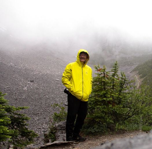
By the time I reached the first viewpoint, it was snowing. Rather than continue, I opted to turn back here.

IMG_1443

I did see some fresh bear scat on the way down.

related – Hiking with Barry trip report on a sunny day

Sundance Trail, Banff

trip report by site editor Rick McCharles

In 1985, the United Nations declared Banff National Park, as one of the Canadian Rocky Mountain Parks, a World Heritage Site. Banff remains one of the most popular tourist destinations in Canada. …

Millions of people visit each year. The Cave and Basin Centennial Centre is not the best tourist attraction in Banff. But it is popular.

Rick at Cave & Basin

Throughout most of its long history, the short 2 km loop trail leading through Sundance Canyon was accessible by road from the town of Banff. In the mid 1980s, the road beyond the Cave and Basin was converted to a paved walking and cycling path, which made the trip longer but more scenically varied. Many people bike to the canyon on the broad, paved trail, but the first half of the trip is an open and pleasant route for walkers as well. …

Banff.ca

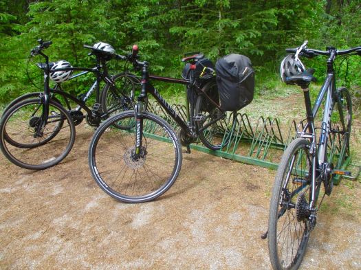
End of the road is a picnic area and bike rack.

IMG_1423

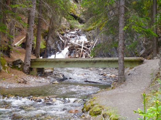
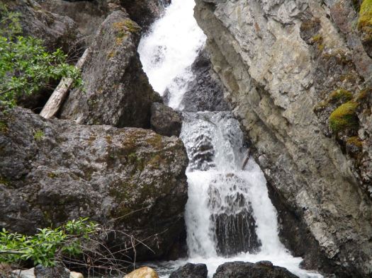
From there it’s a surprisingly steep climb up along the creek.

IMG_1421

IMG_1418

It’s a 2km loop with switchbacks on the final descent.

So convenient to Banff, this day hike is highly recommended.

related – bikepirate – Sundance

climbing Mount Sopris, CO

trip report by besthike editor Rick McCharles

I’m arrived Colorado. 🙂 Only my second hiking trip to this fantastic State.

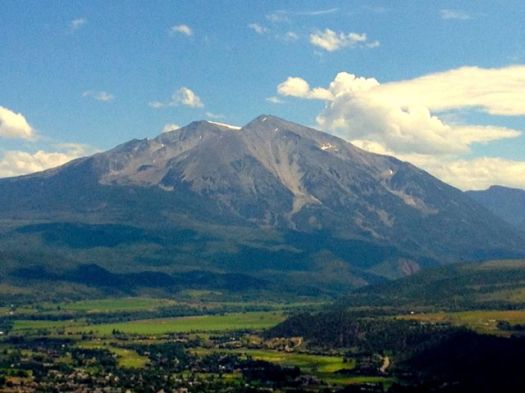
As a warm-up leg stretcher, on Saturday I attempted Sopris, the imposing peak above Carbondale. Elevation 12,953 feet.

Sopris

We were up at 6am. My host, Brion, owner of Independence Run and Hike, wished it had been 5am. The Colorado Rockies are famous for mid-day lightning storms.

At the trailhead Brion took off for a training run. I turned the opposite direction to start up Sopris.

DSCN1315Brion warned me of aggressive cows and possibly even bulls. They weren’t aggressive with us. But they were a bit of a pain.

DSCN1317I met Matt – recently moved to Colorado from the East coast – at the start. He and I walked together to the top.

DSCN1324We took no breaks up to the Thomas lakes. Happy with the speed of ascent, we decided to carry on and have our first break above the treeline.

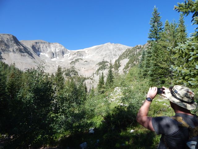
DSCN1322Lunch  on the ridge was terrific. Big vistas down both sides.

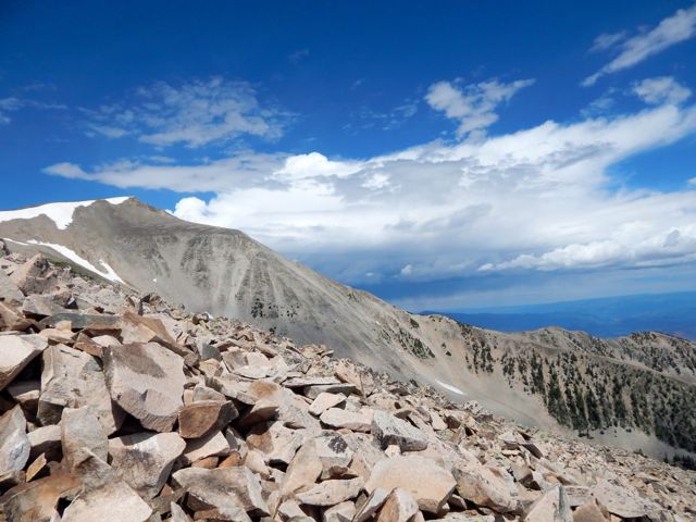
DSCN1327Above the treeline the scramble up Sopris begins. The trail disappears at times up unstable boulders.

DSCN1330Our goal was the first summit. It looked an easy hour from our lunch vantage.

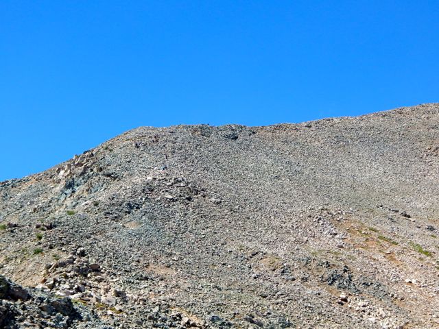
DSCN1331Up on the scree ridge footing gets easier leading to the false summit. Many stop here as the views are just about as good as on the summit. But Matt and I felt good. Wanted to go all the way.

DSCN1332And the weather was holding. Check this blue sky. 🙂

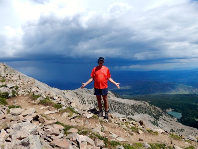
DSCN1336Sadly, in the other direction big scary clouds were rushing up the valley. When we saw the first lightning bolts, we turned back. 🙂

DSCN1338I planned to hurry down to the lakes. And cool my feet in cold alpine waters.

DSCN1339It’s far more dangerous going down than climbing up. Be careful.

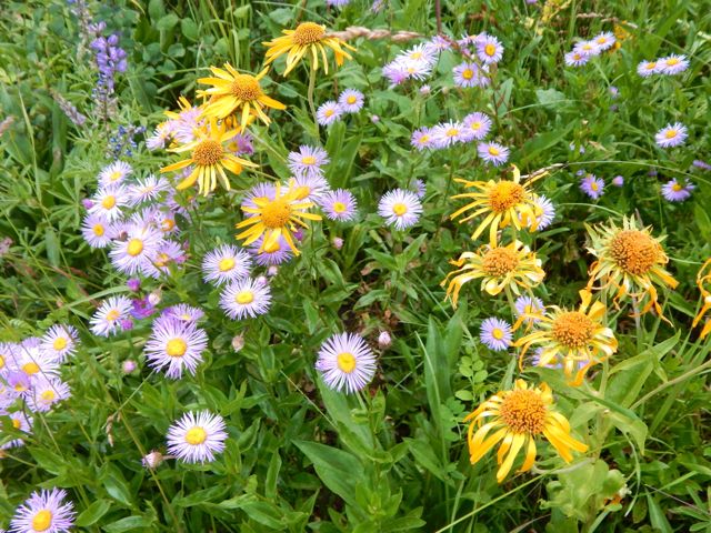
DSCN1345A real highlight this time of year is wild flowers.

DSCN1378 DSCN1376 DSCN1367

As the weather worsened, I increased my pace. But still got caught in a downpour the last 20 minutes to the parking lot.

DSCN1381

I hid from the rain at the pit toilet, changing clothes for the long mountain bike ride back to Carbondale.

DSCN1382

I always carry empty dry bags in my pack just for this kind of soaking rain.

DSCN1383

It was a fun, muddy roll down the mountain. The best part of the day.

DSCN1384more photos

related – Hiking in Colorado – Mount Sopris

Expedition Alaska Adventure Race

I’m planning to volunteer for Dave Adlard’s NEXT expedition race. Social media. Photos. Video.

June 28th – July 4th, 2015.

Over almost 7 days, teams will undertake a 340 – 600 km (200 – 350 miles) expedition over some of the most beautiful, epic and challenging terrain on Earth.

Racers will use a map, compass and their own wits to navigate their way over a (mostly) unmarked route by mountain biking, rafting, paddling, trekking, canyoneering, coasteering, glacier travel, orienteering, trail running, fixed ropes, and a few other surprises through the amazing expanse of Alaska’s Kenai peninsula!

expeditionak.com

Expedition Alaska

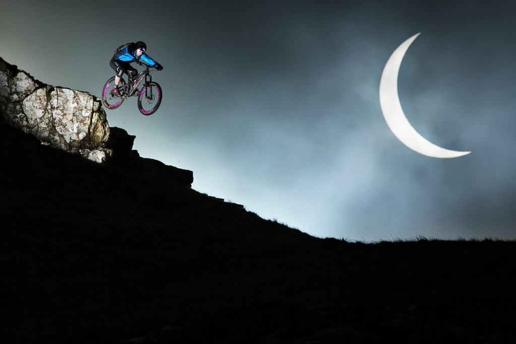
Danny MacAskill’s Solar Eclipse

On Friday March 20th a Solar Eclipse plunged Europe into darkness. Photographer Rutger Pauw teamed up with Danny MacAskill to capture the moment on Danny’s homeland, the Isle of Skye in Scotland.
With just one small window of opportunity to get the shot he had dreamed about, Rutger and the team spent days scouring to select the perfect location. This clip gives a unique behind the scenes look at how they found the spot and how they managed to capture one of the most creative shots of the year.

Danny-MacAskill-with-eclipse-Rutger-PauwRed-Bull-Content-Pool--1024x682
grindtv

Click PLAY or watch the story behind this photo on YouTube.

(via Adventure Blog)

Danny Macaskill: The Ridge

#TheRidge is the brand new film from Danny Macaskill… For the first time in one of his films Danny climbs aboard a mountain bike and returns to his native home of the Isle of Skye in Scotland to take on a death-defying ride along the notorious Cuillin Ridgeline.

Click PLAY or watch it on YouTube.

Tyres & Earth: Meeting Mike Howarth

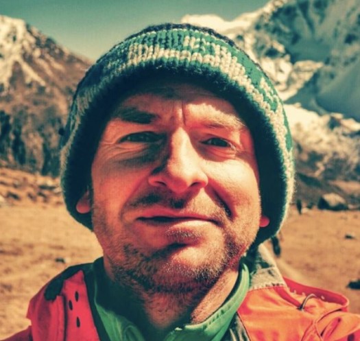
Ashley Crowther:

… It seems like an age ago since I first met Mike, I was looking for some company to trek up to Annapurna Base Camp in the Nepal Himalaya. Although this is a easy route to tackle on your own, I believe that sometimes moments are best shared with two.

Posting a thread on Lonely Planet’s Thorn Tree Forum looking for people, I received an email from a Yorkshire man who was currently cycling around and across Nepal, but wanted to leave his bike behind for some good old fashioned walking.

We caught up in Pokhara, by Phewa Lake for a beer and a cheeky Western treat of Pizza. …

Mike

You’re currently in South America, what has it been like and where have you been?

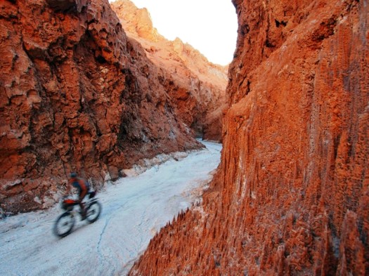
… I started my travels in Buenos Aires, dubbed the Paris of South America. I spent a month learning Spanish and exploring this colourful and vibrant city. From there I travelled to Argentina’s southernmost city; Usuhaia. El Fin Del Mundo (The End of the World) and started my trip north toward Columbia after a last minute trip to Antartica. I cycled through Patagonia, the Argentinan and Chilean Lake Districts before stopping off for a breather and a slice of city life in Santiago and Valpariso.

From there I linked up with the spine of the Andes and rode through the Argentina wine growing areas of Mendoza and Cafayate before crossing in to Boliva and spending over 6 weeks on the Bolivian Antiplano crossing the spectacular Salar De Uyuni. I am currently in the heart of the Peruvian Andes, and plan to follow these north as closely as possible. …

cycling Andes

read more

Helm Creek to Black Tusk

trip report by site editor Rick McCharles

Whistler is a Canadian resort town in the southern Pacific Ranges of the Coast Mountains in the province of British Columbia, Canada, approximately 125 km (78 mi) north of Vancouver. … 

Over two million people visit Whistler annually, primarily for alpine skiing and snowboarding and, in summer, mountain biking …

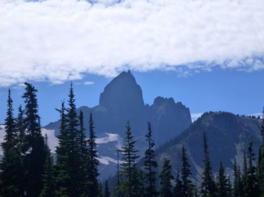
Very few of those 2 million visitors climb up to one of the most iconic Canadian peaks, Black Tusk.

The Black Tusk is a stratovolcano and a pinnacle of volcanic rock in Garibaldi Provincial Park of British Columbia, Canada. At 2,319 m (7,608 ft) above sea level, the upper spire is visible from a great distance in all directions. It is particularly noticeable from the Sea-to-Sky Highway just south of Whistler


Black Tusk
Black Tusk

Most hikers approach from the Taylor Meadows campground to the south near Garibaldi Lake, although there is a second route from the north that travels by way of Helm Lake. …

Locals advised me to avoid the crowded trailhead off the highway, and hike via the Helm Creek Trail instead. That’s the Cheakamus Lake trailhead, closer to Whistler.

I bought my $10 / person / night camping permit online from BC Parks. You can pay cash at a machine only at the Diamond Head and Garibaldi Lake parking lots, not at the Cheakamus Lake parking lot.

Why doesn’t BC Parks have an office somewhere near Whistler?

Cheakamus Lake to Black Tusk Meadows via Helm Creek:

• Length, 14.5 km; suggested time, 6 to 7 hours one way;
• elevation change, 600 metres.
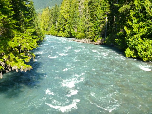
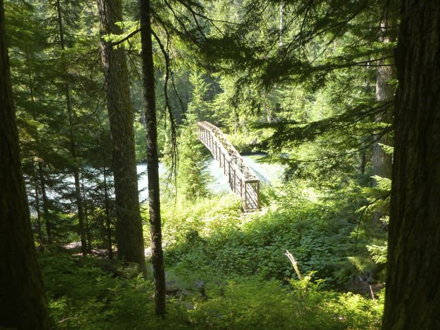
• 1.5 km along the Cheakamus Lake trail, drop down to a bridge across the Cheakamus River.

P1300549 P1300552On the other side of the river the trail switchbacks upward steeply to the Helm Creek Campground.

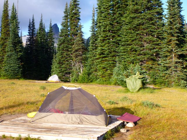
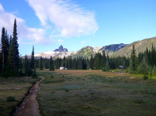
P1300561 P1300566I carried on to gorgeous Black Tusk Meadows.

P1300577Hikers coming down from the south summit told me it was too late in the day for me to start up.

After weighing my options (I was carrying a head lamp) I finally decided to wander the meadows, instead.
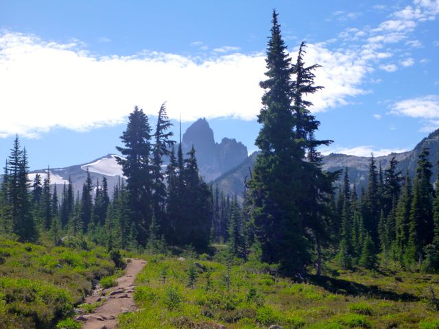
P1300572 P1300581 P1300589It turned out to be a leisurely night.
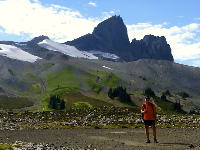
P1300602

Next morning I turned my back on Black Tusk and headed back down to my car.

P1300610 P1300611

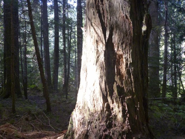
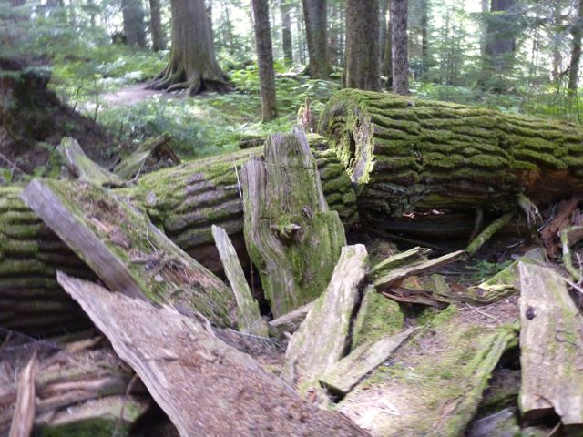
I had time for a sidetrip to pretty Cheakamus Lake via lush temperate rain forest.

P1300622 P1300624 P1300625Black Tusk is off limits to mountain bikes, but the ride to this lake is superb.

All in all, a wonderful 2-day hike.

If I had one more day I would have done the 34km route Helm Creek, Panorama Ridge and Black Tusk shoulder detailed in this 9min video.

Click PLAY or watch Summer hiking featuring Helm Creek, Panorama Ridge and Black Tusk on YouTube.

I might even exit from there to the highway. It’s still possible to hitchhike near Whistler. 🙂

more photos from my hike

related – BC Parks – Garibaldi Provincial Park