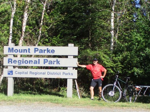
Cycle hiking the Islands – trip report by site editor Rick McCharles
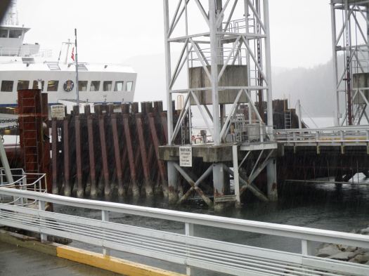
I caught the ferry from Port Townsend. Immediately cycled to Ebey’s Landing for the Bluff-Ridge Trail.
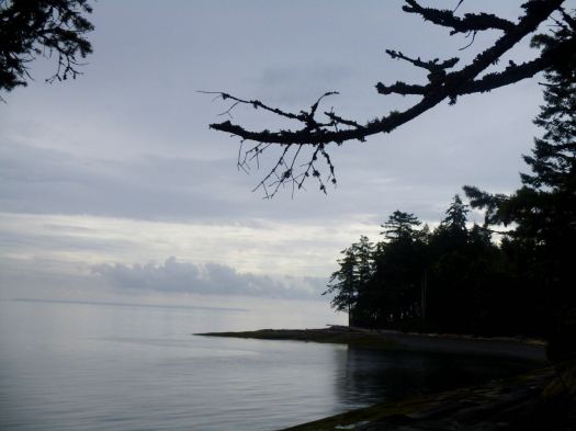
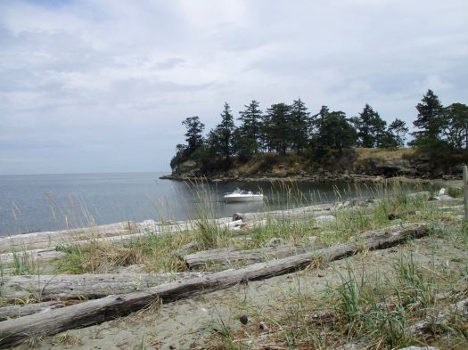
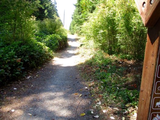
I started from the trailhead at the end of Ebey’s Landing Road. Here’s the view looking back to the start.


minimum 3.7 mile loop
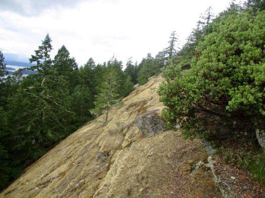
This hike is ALL GOOD. The best I’ve found in the islands, so far.
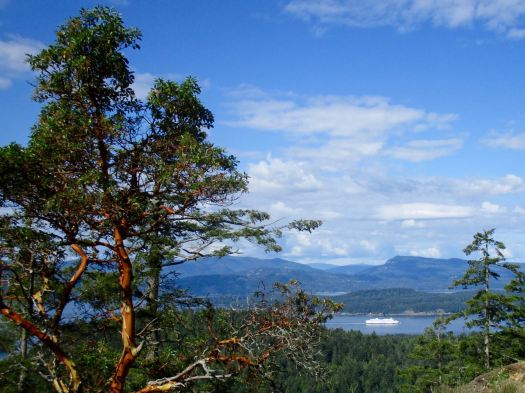
There’s a prairie section leading to the bluff.

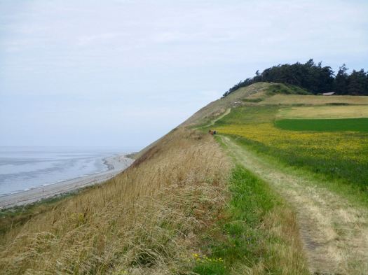
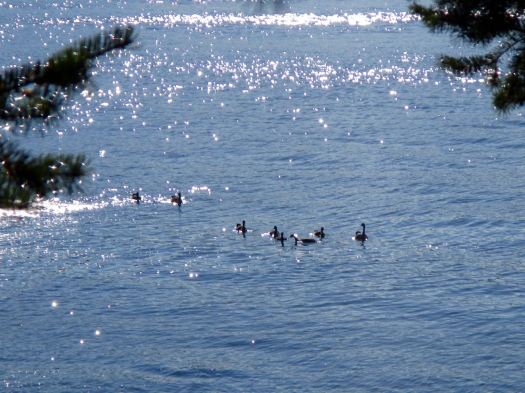
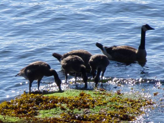
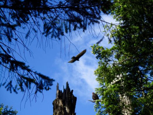
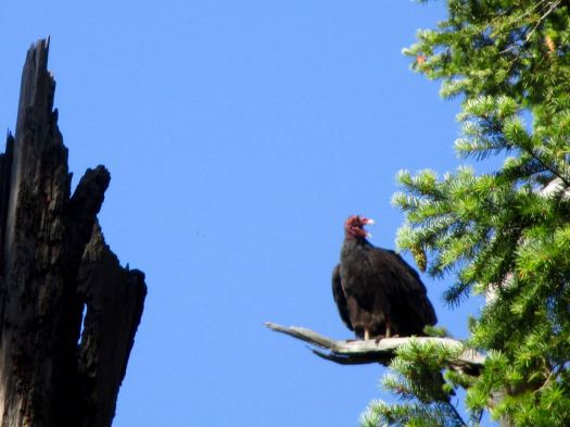
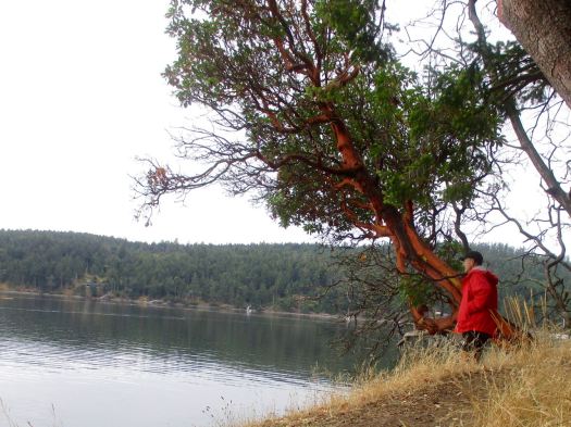
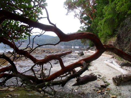
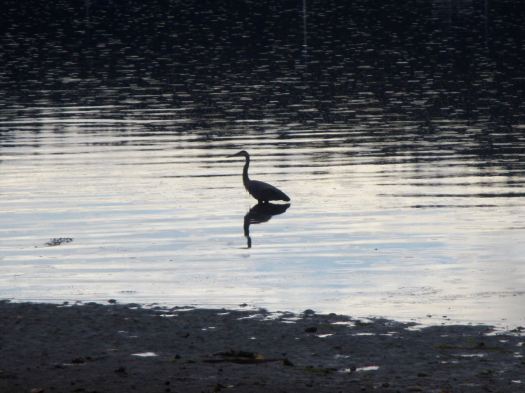
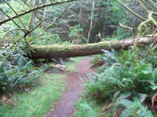
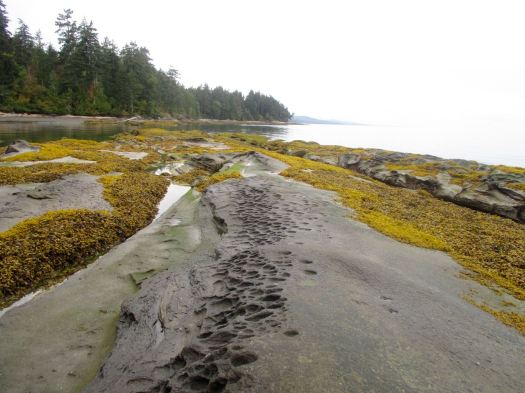
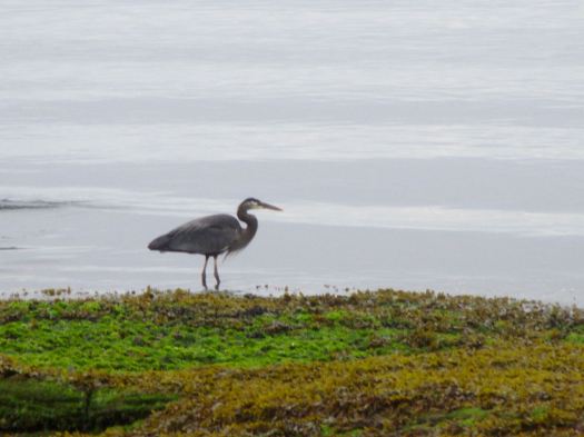
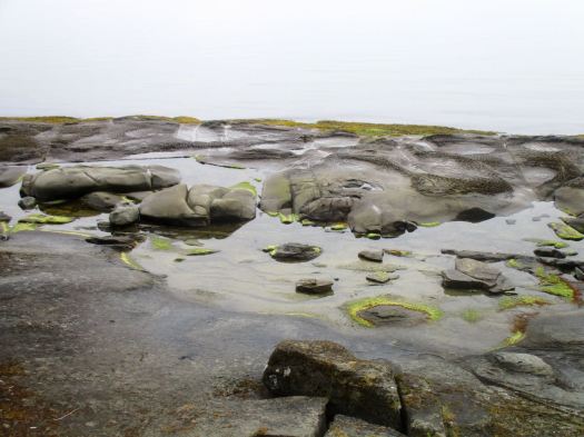
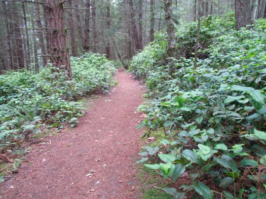
Plenty of interesting things to see along the way.


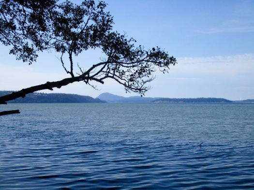
Almost everyone starts along the bluff, returns via the beach trail. But I enjoyed the breeze and vistas so much I decided to stay on the high road both there and back. 🙂

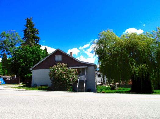
To celebrate the great hike, I stopped in next at Kapaws Iskreme on Front Street in Coupeville.

Coupeville is a nice little tourist town.
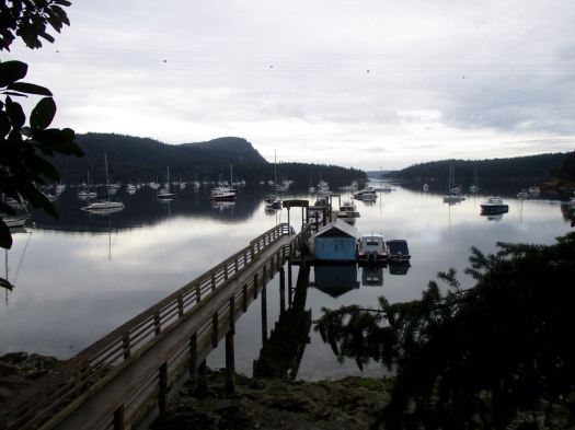
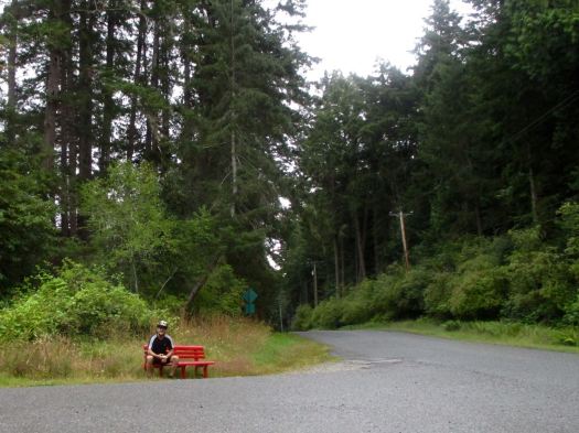
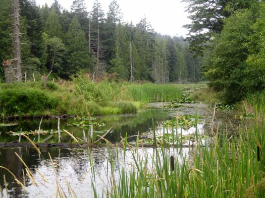
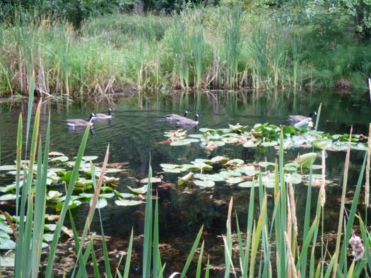
Though I’d heard nothing about it I decided to stop in at Dugualla Bay State Park.
Turns out I could have cycled the trail, but instead I hiked it down to the ocean.

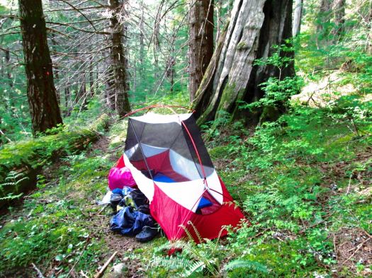
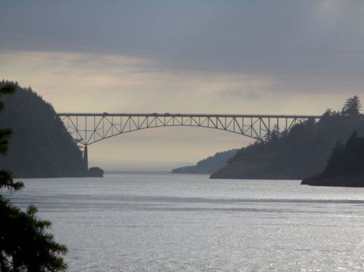
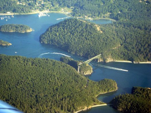
The famous State park is Deception Pass. I decided to camp there. Next morning I’d cycle across the bridge to Hidalgo Island.
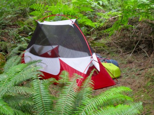
It was a good spot. I slept in until 7:30am. Enjoyed a pot of coffee. And decided to explore the trails of Deception Pass by bike and on foot.
Unfortunately I’d somehow acquired a slow leak. Adding air only worked for short bursts.
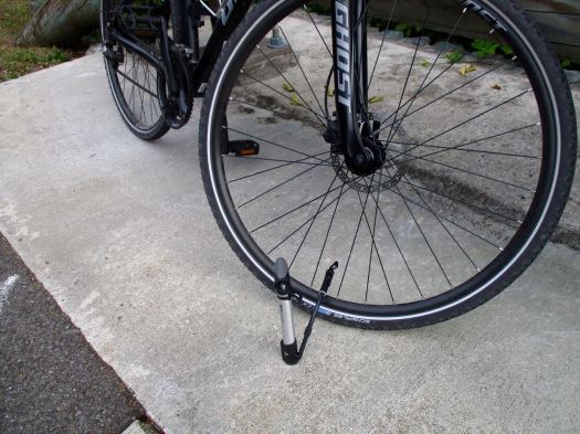
I opted to head for the nearest bike shop. Save Deception Pass for future adventures.
Turns out it’s the most-visited park in Washington with over 2 million visitors / year. I’ll plan to stay for a couple of days next time.
related trip report – Whidbey Island – Ebey’s Landing