NEW – Annapurna Seven Passes route

I’ve twice been on the Annapurna Circuit. It has been degraded by road building. In fact, on the more recent trip I enjoyed mountain biking more than hiking.

Tripple P. Gurung decided to invent an alternative in the region.

The Annapurna Seven Passes … is a 20-day trek that takes a trekker through seven high passes, four of which are above 5,000 meters. In addition to the challenge of the high passes, this trek offers a mix of wilderness and culture that is missing from treks that run through villages. …

Click PLAY or watch it on YouTube.

It’s actually a route, not a trail. I would need a guide.

QUICK FACTS

  • Difficulty Level
    Hard
  • Total Length
    177 Km
  • Highest Altitude
    5416 Meters
  • Start location
    Tal (1,665m)
  • Finish location
    Jomsom (2,740m)
  • Permits
    ACAP Permit,TIMS Permit,Naar-Phu Restricted Area Permit
  • Best Season
    April-November

Click through for details:

Saving the Annapurna Circuit – The Annapurna Seven Passes Trek

walking Brecon Beacons, Wales

Trip report by BestHike editor Rick McCharles.


Click PLAY or get a glimpse on YouTube.

My friend in Cardiff told me bus tickets to Brecon Beacons National Park were free on weekends. That’s my price range.

Brecon is a quaint tourist town. Weather was perfect on a Saturday morning in October.

I fuelled up with a big Welsh brunch.

There are many trailheads. I opted to start at the most popular – Storey Arms.

It was very busy on this fine day.

At the top of Pen y Fan 886m (2907ft), I celebrated with Welsh Cakes.

From there I continued following whatever ridges looked interesting. You can see why they call it Hill Walking.

I planned to tent one night, they walk out back to Beacon next day.

I learned on the trail that — unlike England and Scotland — Wales has no ‘right to roam‘ law. I wasn’t allowed to legally tent on this public land. Gak.

I waited until dusk and set up in a discrete spot.

It was a perfect evening. A starry, starry night.

Clouds rolled in by morning. I packed up at first light.

I saw only one other tent.

Most of the national park is bare, grassy moorland grazed by Welsh mountain ponies and Welsh mountain sheep.

It was an easy walkout through farmland back to town. I used Maps.me for navigation.

I do recommend Brecon Beacons to any hiker who visits Wales.

Click PLAY or watch it on YouTube.

Skurka is writing a book on the new Yosemite High Route

He hopes to publish February 2019 to get the information out for next season.

As Skurka has envisioned it, the YHR forms a figure-eight from Dorothy Lake Pass in the north, pinching in the middle at Tuolomne Meadows, and extending as far south as the area surrounding Rodgers Peak, not far from Mt. Lyell. …

What are your favorite sections?

The “good stuff” on the Yosemite High Route runs south from Grace Meadow in upper Falls Creek and ends at Quartzite Peak at the northern end of the Clark Range. All the miles between these two points are world-class. You can’t go wrong. …

Adventure Journal 

andrewskurka.com – Trip Report: Scouting the Yosemite High Route

consider doing the JMT Northbound

Only 2% of applicants get permits for the John Muir Trail, one of our top 10 hikes in the world, southbound.

Odds are better in the other (more difficult) direction.

This superb trip report is recommended for your planning.

Brown Gal Trekker:

I completed my solo thru hike of JMT’s entire length of 210 miles plus 11 miles climb up from Whitney Portal starting from Whitney on July 29, 2018 and ending in Yosemite Valley on August 21, 2018, a day ahead of my schedule …

JMT northbound wasn’t the original intention. The start supposedly had to occur in Yosemite heading southbound and ending with the highest passes like most thru hikers do. Many proclaim southbound route trains you best for the harder climbs and higher altitudes. And yet northbound JMT took shape due to the permit limitations. Hence, northbound became the journey.

… Whitney greeted me on the 2nd day. Forrester pass at 13000 feet came in on day 4. Kearsarge at 11750 feet came the next day. I hauled 40 pounds all the while. …

The regular SOBO permits can be obtained solely through a lottery.  You can apply 170 days prior to the start date of your choosing.  Application form must be completed and faxed.  For the SOBO permit, you must fill out your starting and ending dates plus your trailheads of preference. The instructions are straightforward but the chances of getting a permit are rather slim.  You can learn more about applying via this website.

Because we weren’t the lucky 2% who scored a SOBO permit, we ended up taking our chances on the unclaimed permits going NOBO via Whitney Portal.   If you wish to go for overnight Whitney permits from the start, the application usually starts in February. See details on how to apply for Whitney overnight permit lottery here. We searched for permits on May 1st, when the unclaimed permits were released. These permits can be booked via Recreation.gov. To learn more, go to this site.

In applying for the permits, you will need to guesstimate your itinerary.  The most important part is the entry date and entry point. In our case, we were seeking to secure the overnight Whitney permit for our desired date. When you get to Lone Pine, CA, make sure to stop by the Eastern Sierra Park office to pick up your permit. …


If interested in doing the John Muir Trail yourself, check our JMT information page.

Morocco’s Toubkal Circuit – day 5

Trip report by BestHike editor Rick McCharles.

day 1 | 2 | 3 | 4 | 5 | info | video

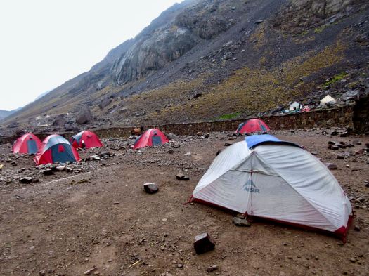
Most guided hikers departed in the dark as — normally — the peak is clearest in the morning. I decided to wait until first light, instead.

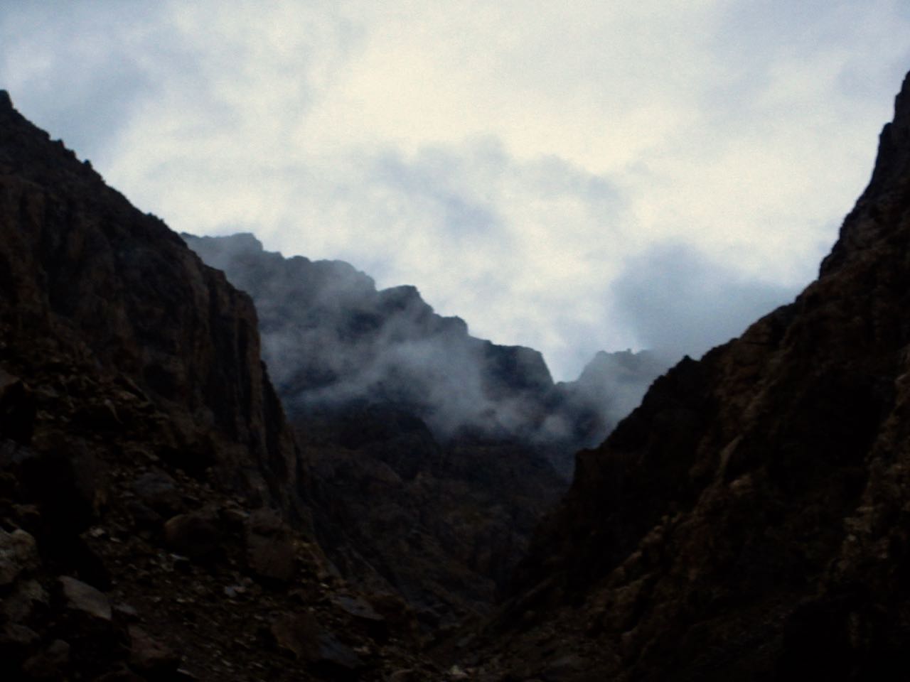
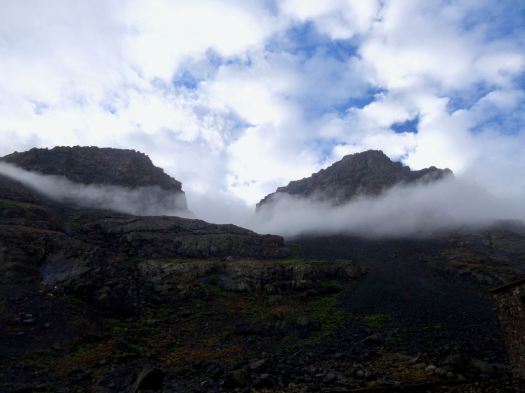
In fact, before dawn there were lightning flashes in the direction of Toubkal. I rolled over thinking I’d not be doing the peak at all.

On waking I enjoyed 2 pots of coffee … and waited about an hour before packing up.

… but weather seemed to be clearing.

It was worth giving it a try. I could always turn back if lightning resumed.

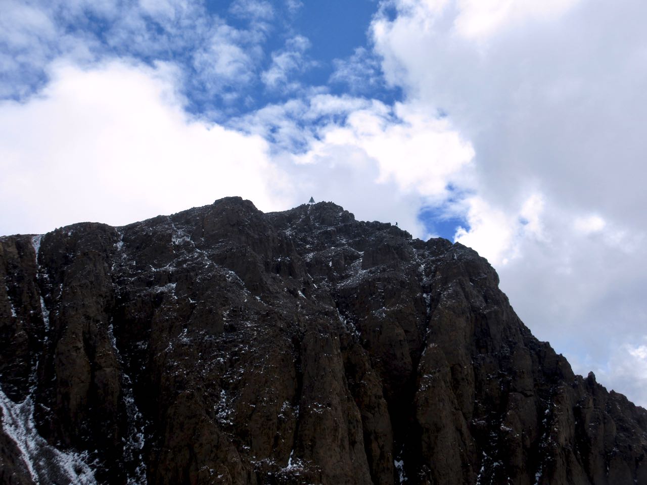
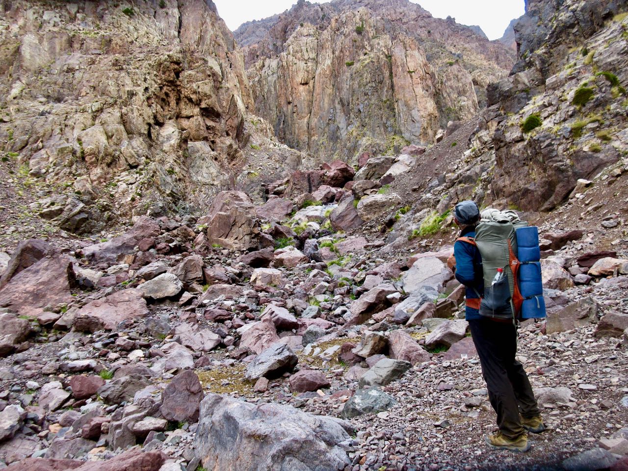
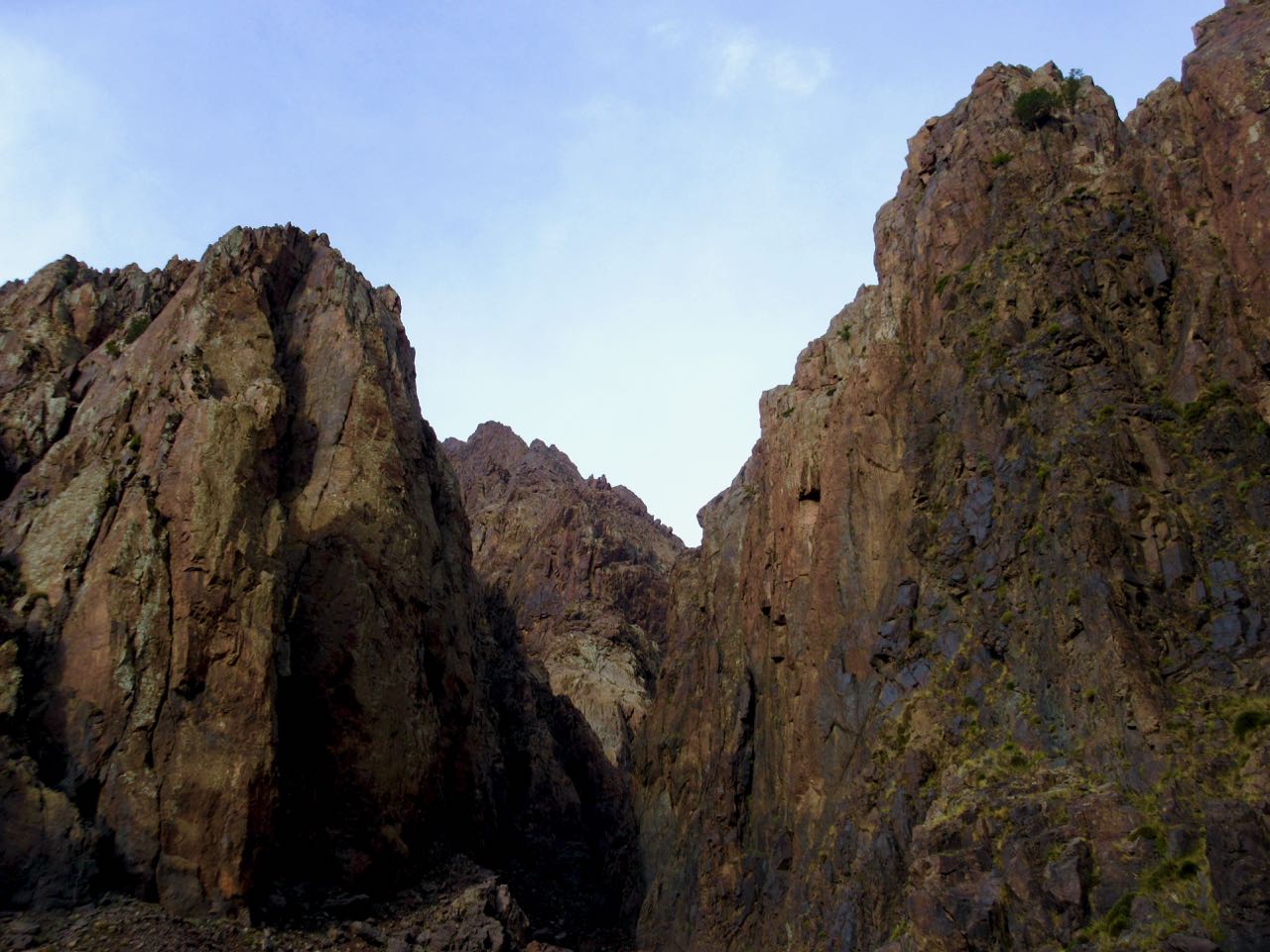
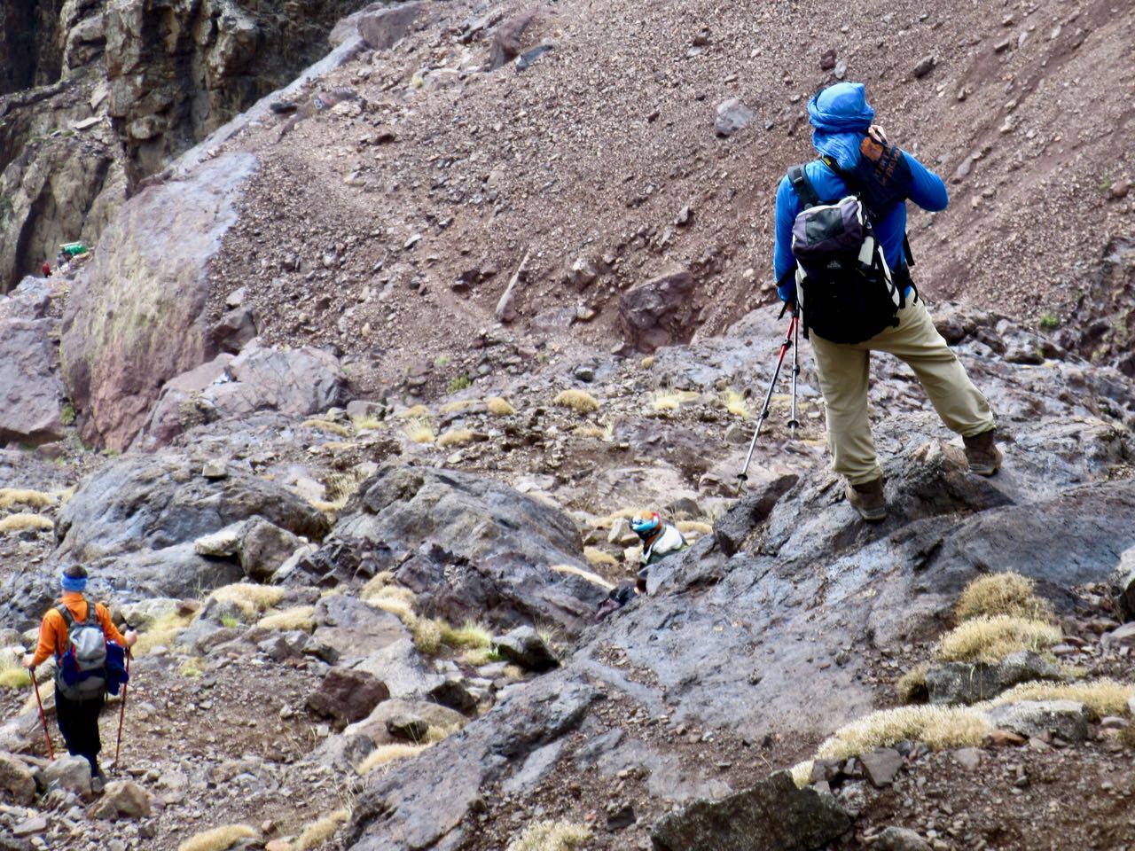
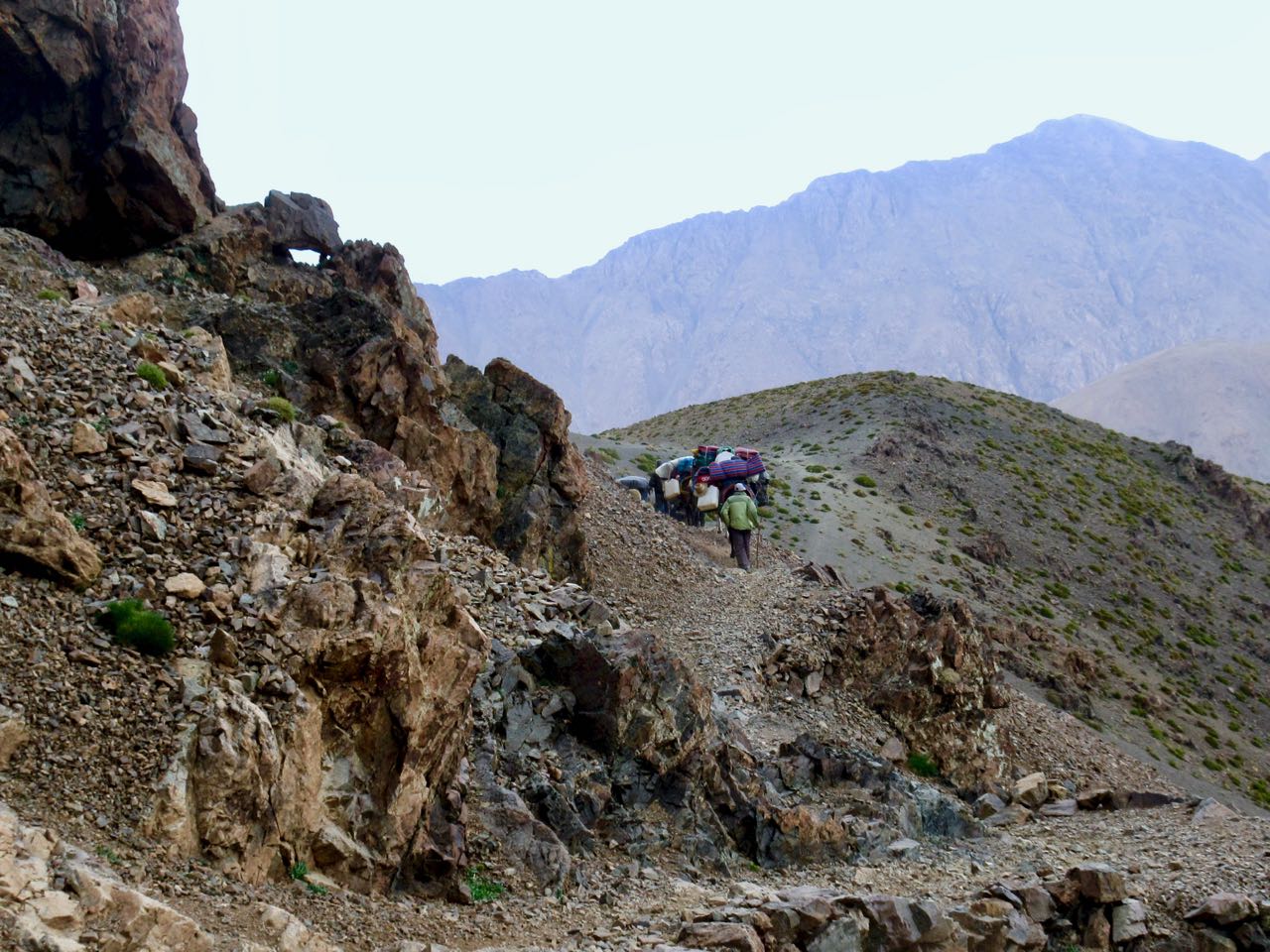
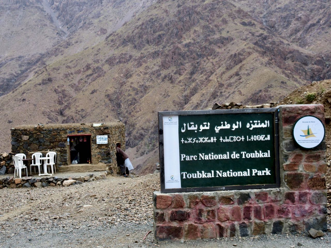
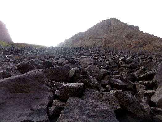
The start of the Toubkal climb is the most challenging part. It’s a scramble.

While I was beginning dozens were descending, many wearing headlamps. That was a bit disconcerting. #late #late #late

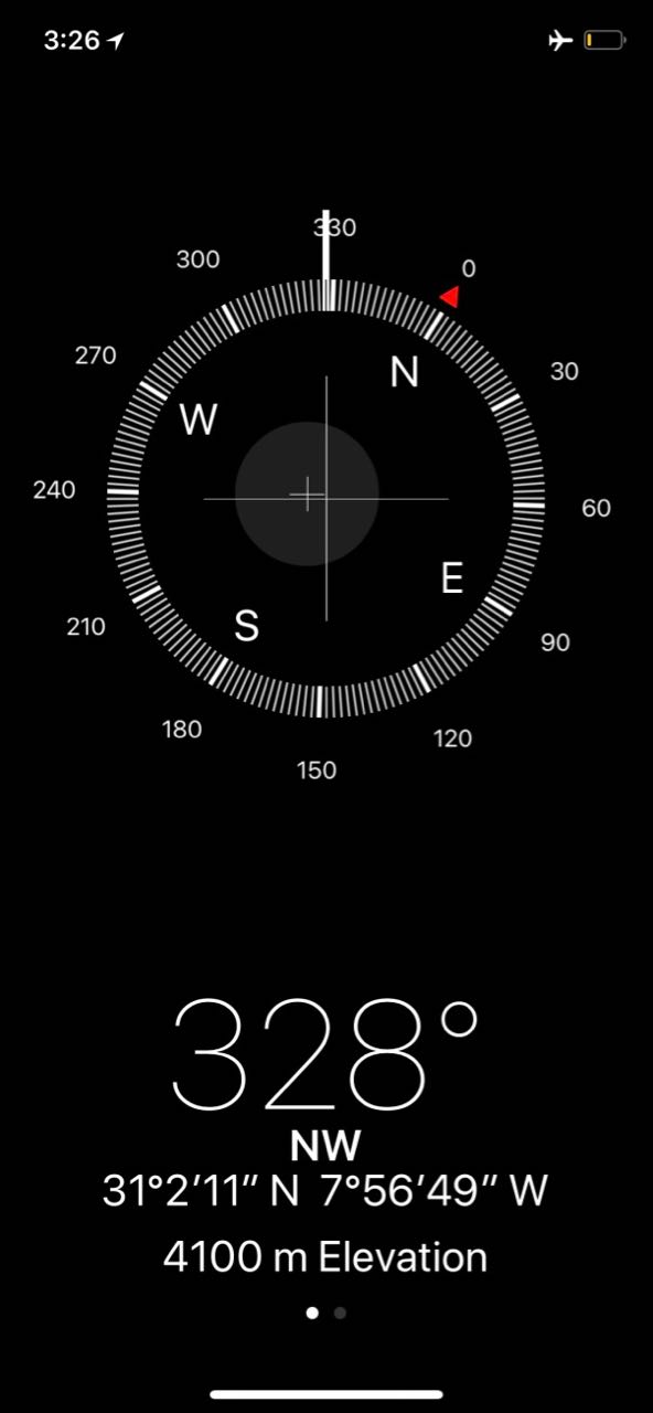
Vertical gain is about 960m, but it seemed to go quickly and easily for me. I was well acclimatized for altitude.

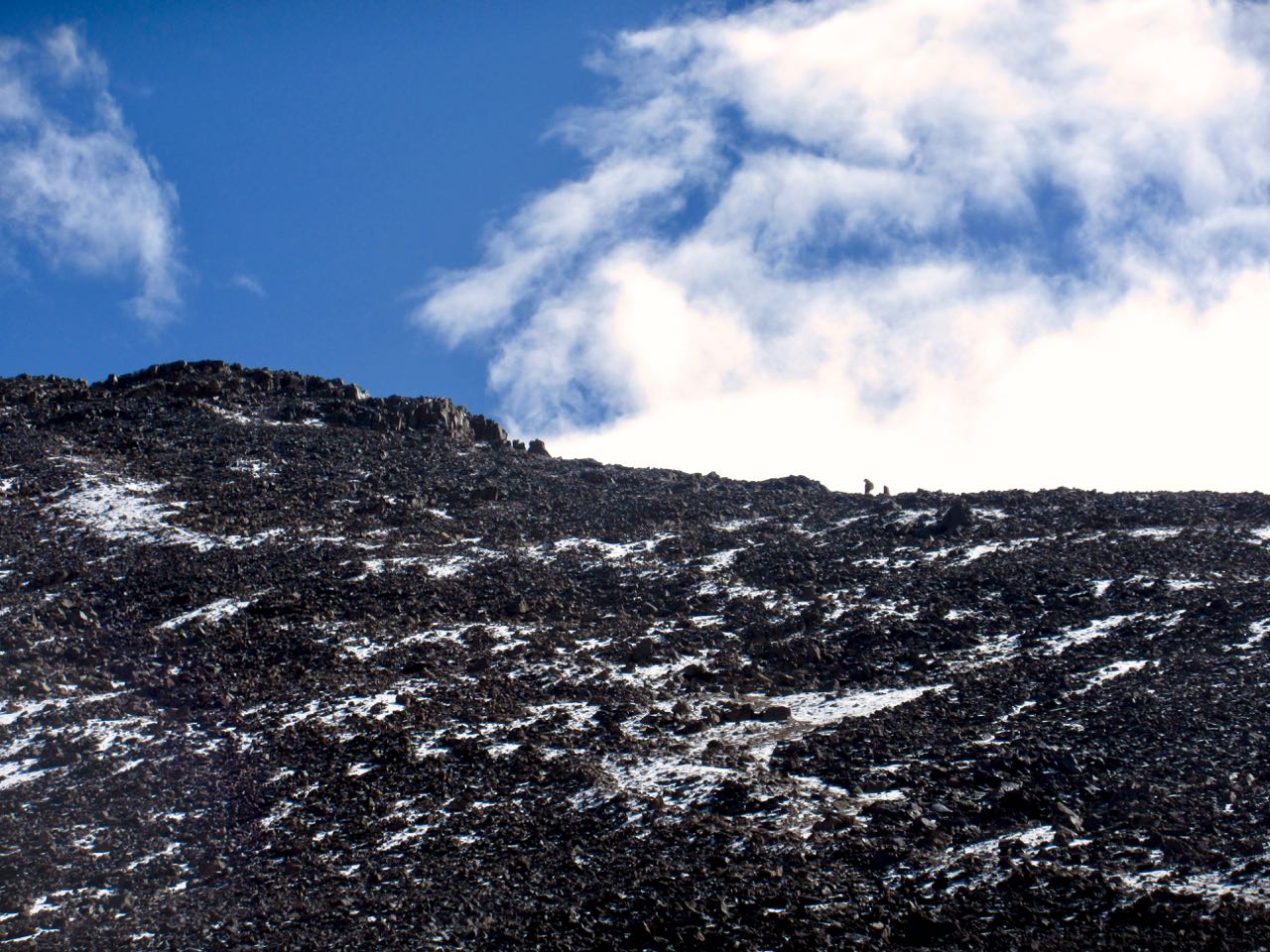
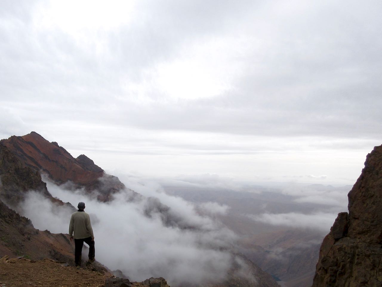
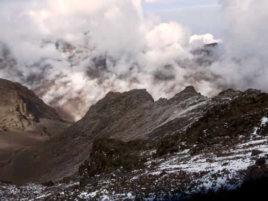
There are several false summits. Here was my first glimpse of the top.

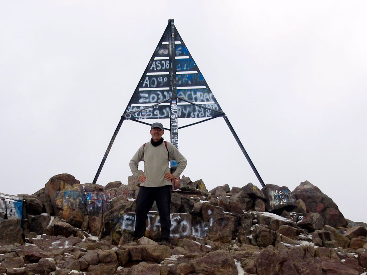
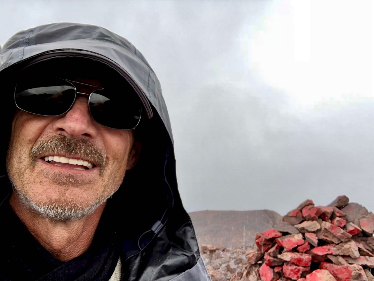
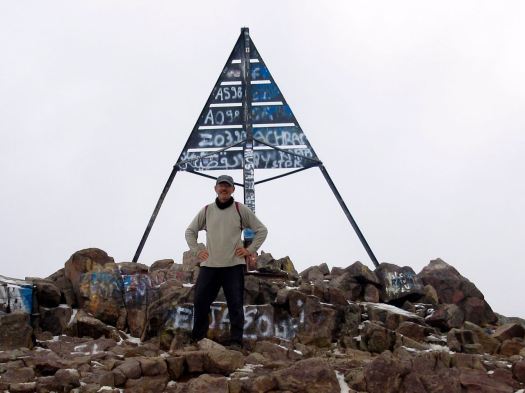
Myself and a couple from eastern Europe were the highest humans for at least 2000km. And the views were great. 🙂

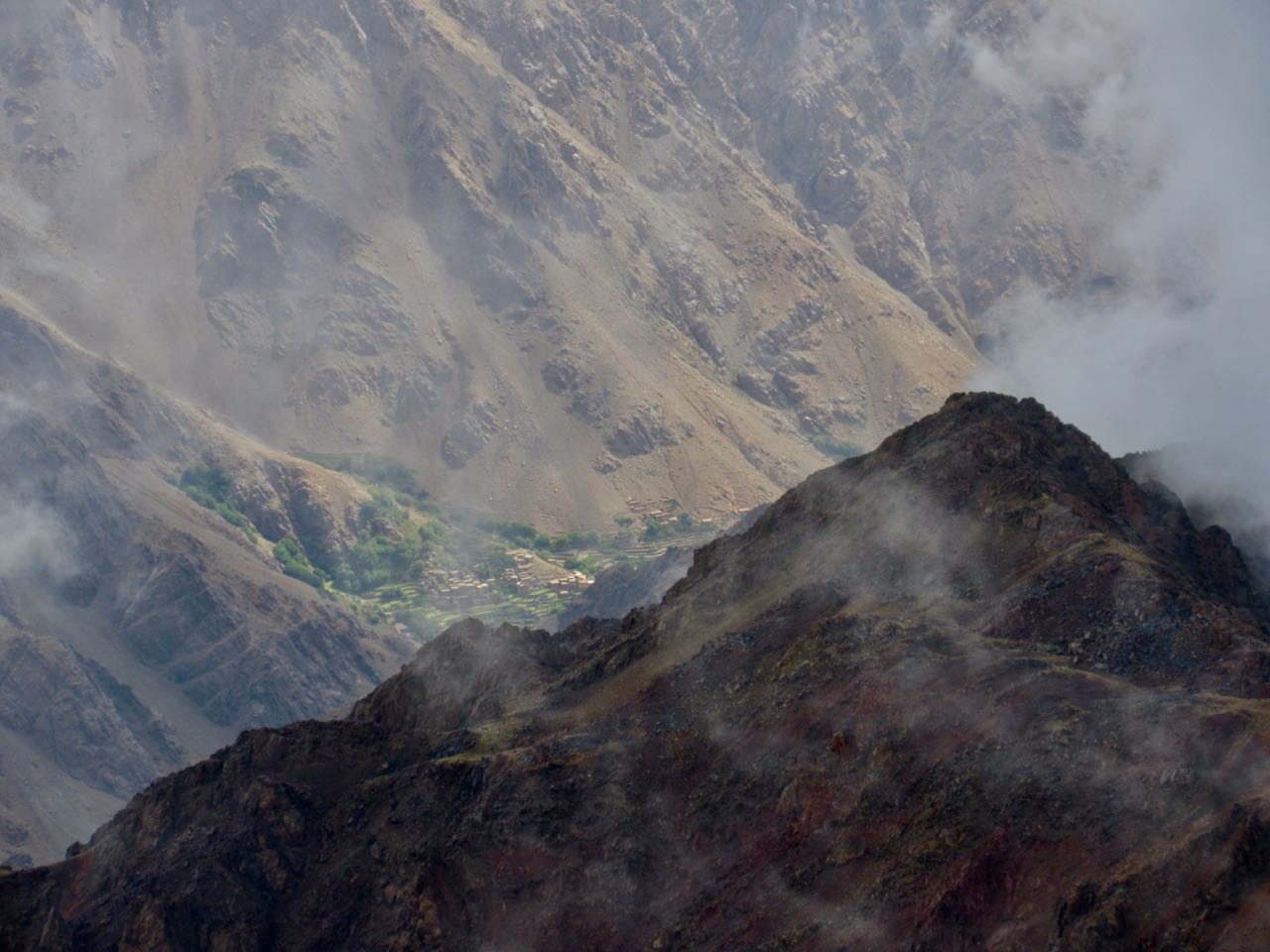
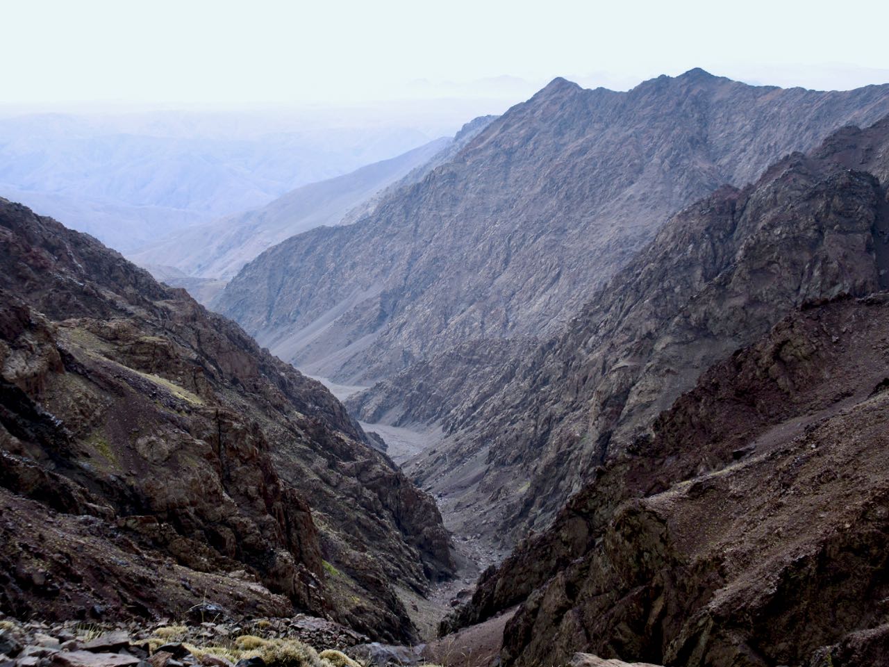
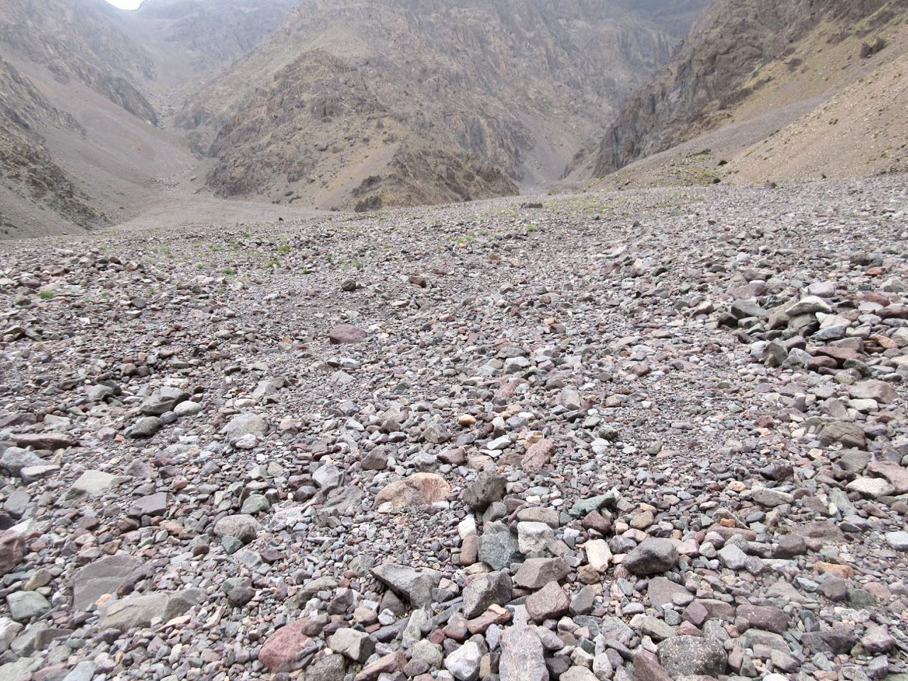
I could look back to where I’d come from a couple of days ago.

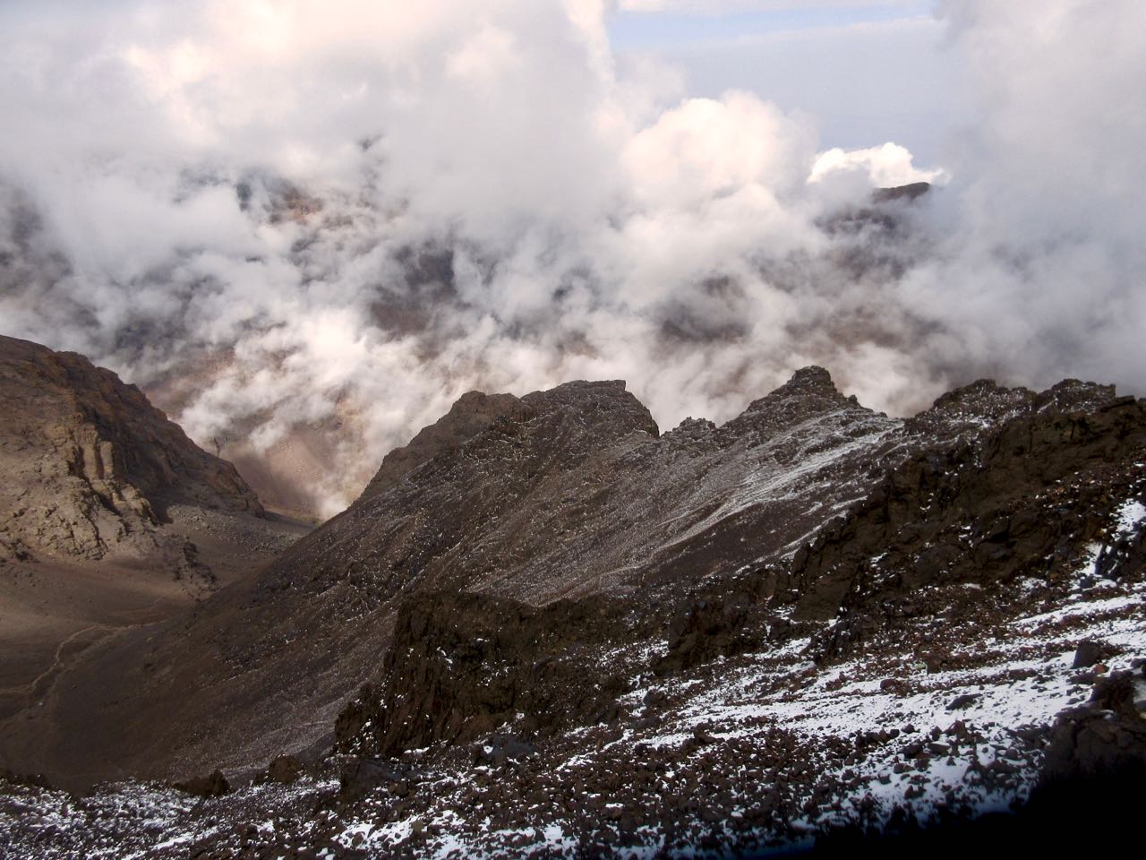
If anything, weather was still improving.

We were the last people on the mountain … except for one Canadian coming up even later. And a Moroccan couple. They were very late because they’d walked up from Imlil. That’s over 2400m of gain in one day!

The couple had found my PHONE! I’d left it on a boulder on the way up. Whew!

I enthusiastically thanked them and urged them to continue as they’d be getting much better weather than the early morning mob.

… I was way wrong. ☹️

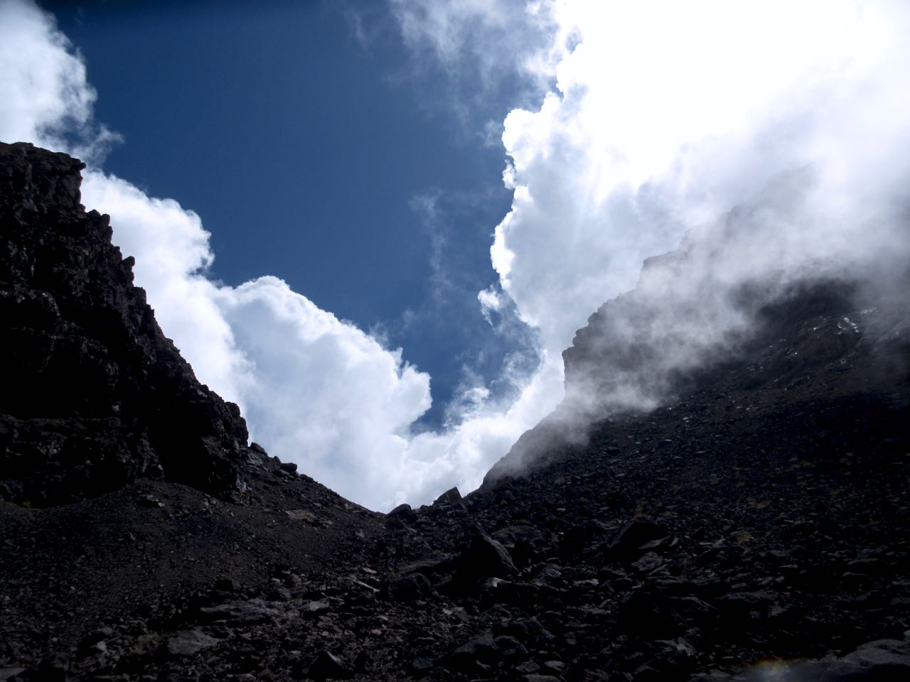
Thunder and lightning returned about an hour later. The Canadian turned back. Last he saw the Moroccan couple were still ascending into the lighting storm. Very dangerous.

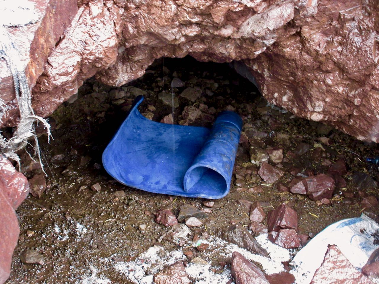
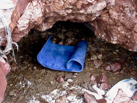
Me? I hid in a cramped cave.

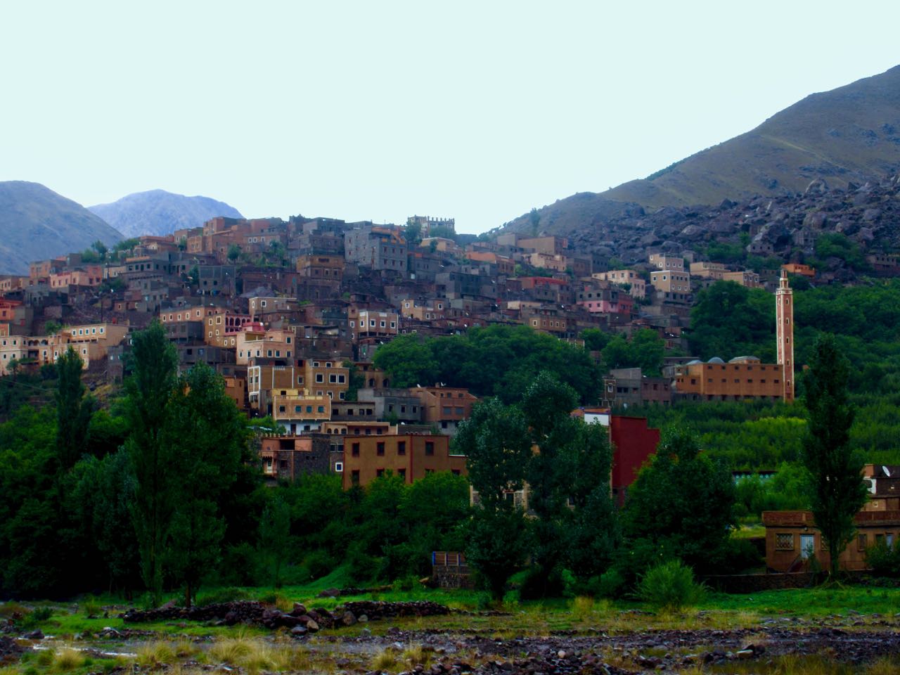
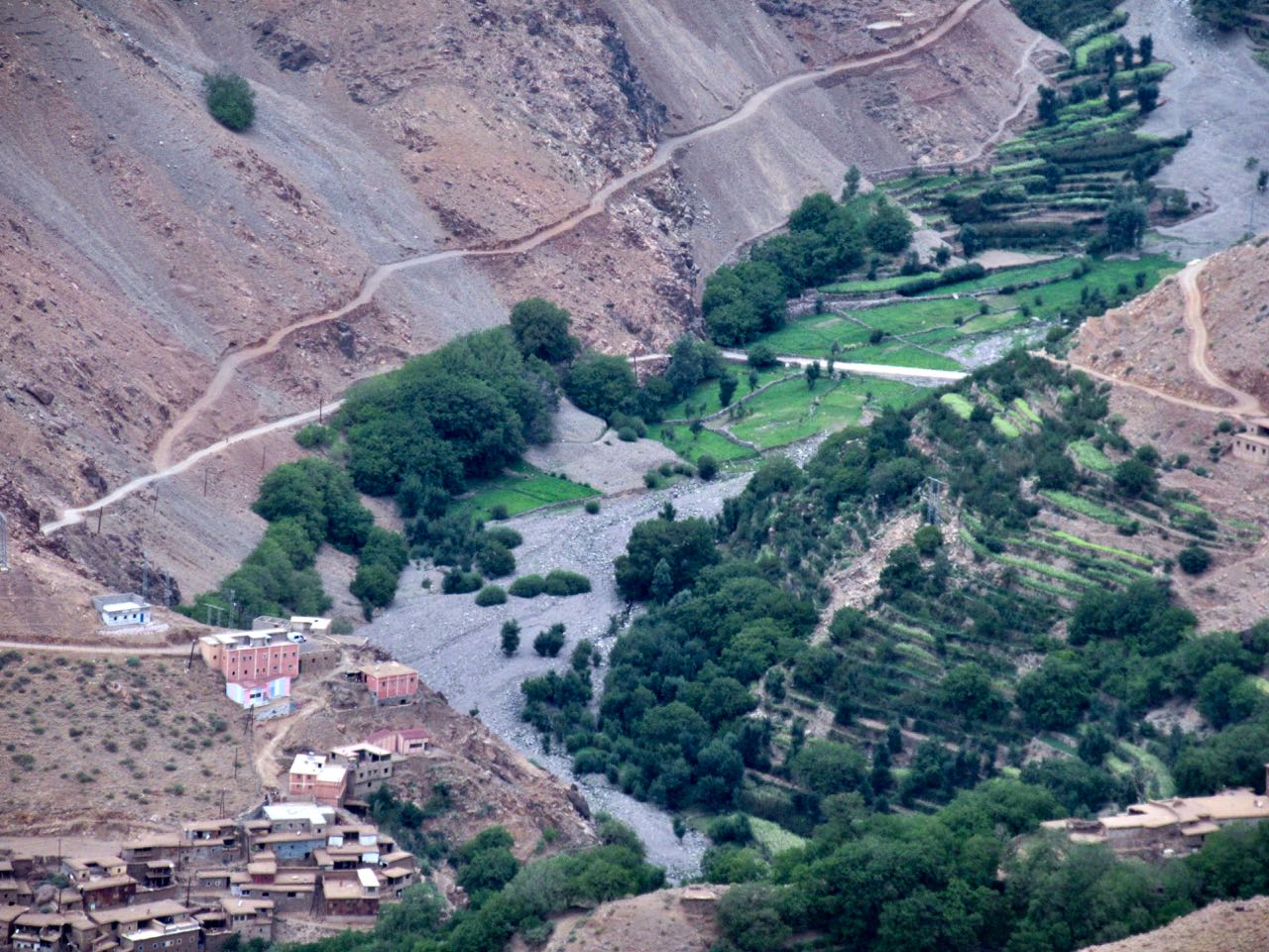
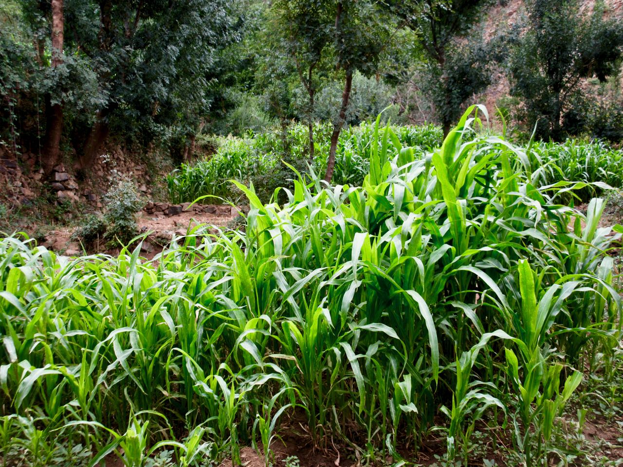
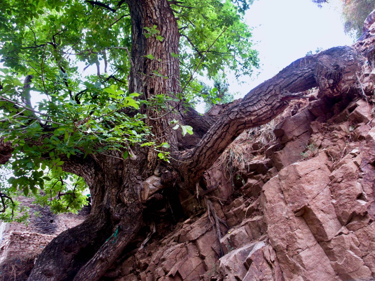
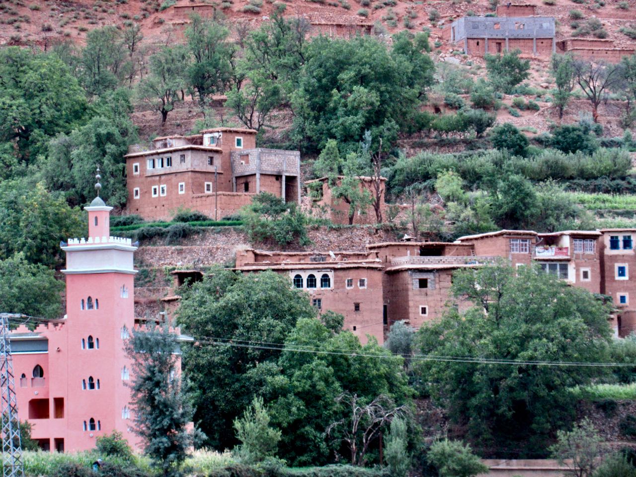
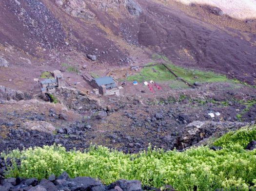
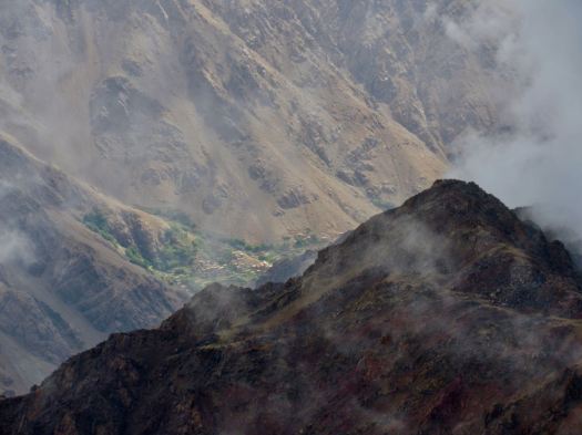
Once it finally quit I trudged tiredly down to Imlil.

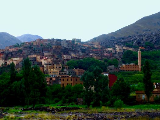
It’s a pretty town, actually.

I was totally psyched to make it back to Marrakesh same day. I pushed.

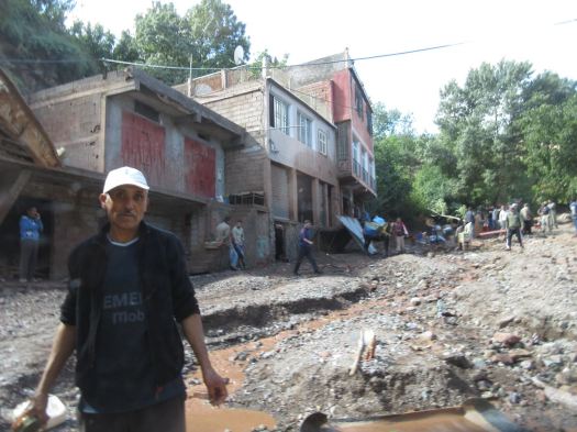
But the road near the taxi stand was impassable due to flash flood.

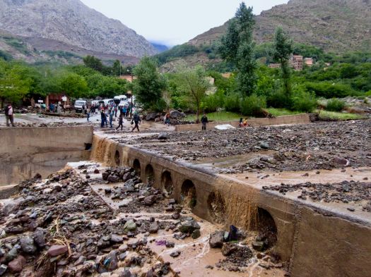
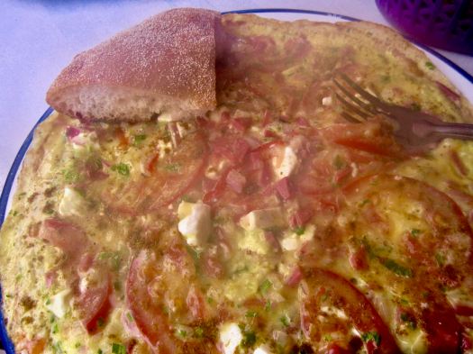
I turned back and had dinner in a crossroads restaurant. A huge, steaming omelette.

A Brit I’d spoken with earlier on the street had recommended their hotel — Les Etoiles de Toubkal.

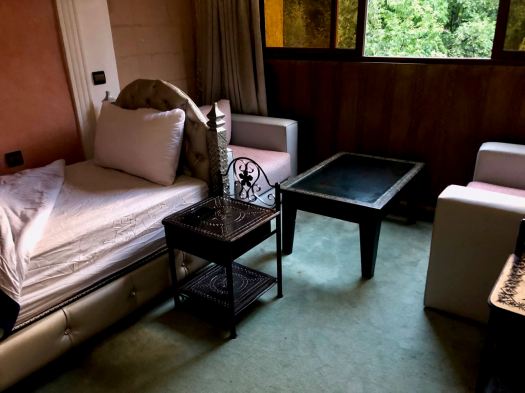
It was excellent. The best room I’d had in nearly 2 months. It cost me $30 including breakfast.

I took several hot, hot showers and went to sleep early.


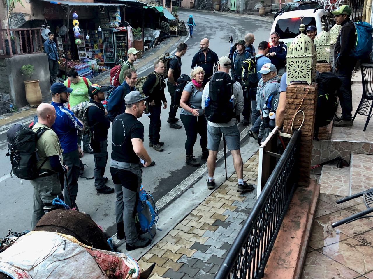
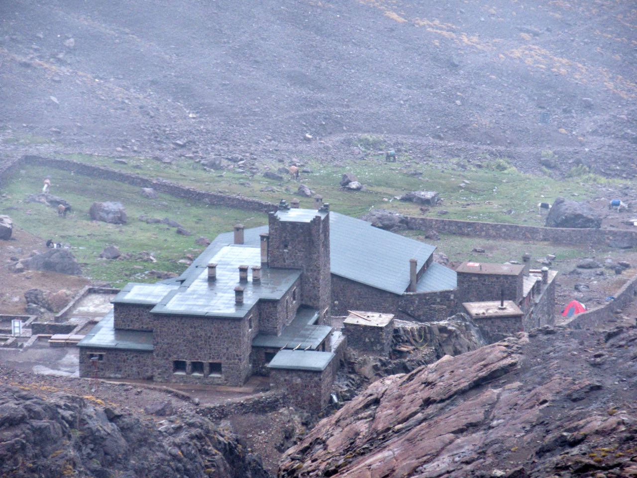
Next morning I was up before daylight as almost every other guest was packing up and getting ready to hike up to the Refuge. It was fun having breakfast with an enthusiastic group from the U.K.

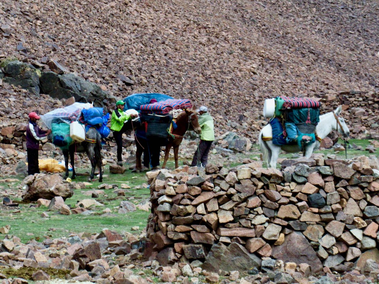
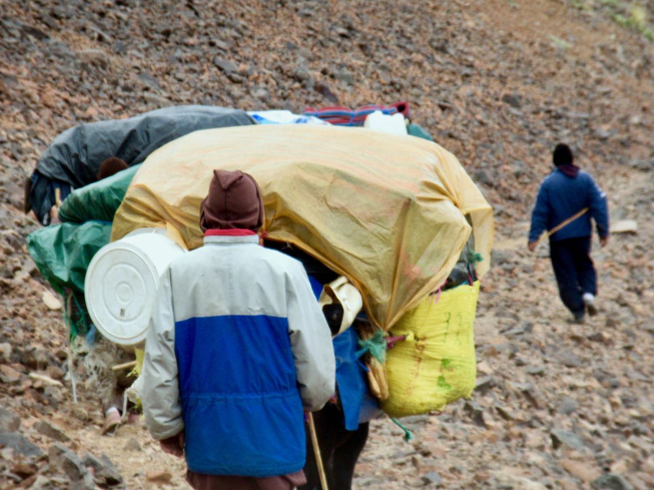
They left at 8am just as their mules were arriving. YES they did have mules, not horses.

Their U.K. guide confided to me that getting a large group like this started was like herding cats. But once on the trail, it was easy.

My hotel told me the road might open about noon. That prices for transportation would be higher than normal because of the backlog.

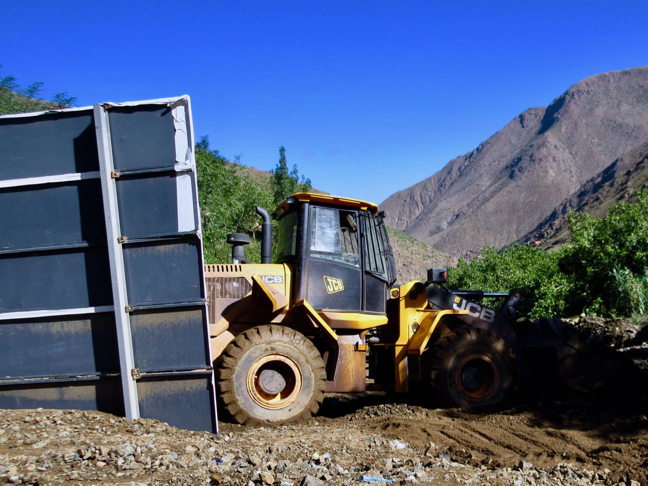
I walked down to check. Road still closed. Big machines still arriving.

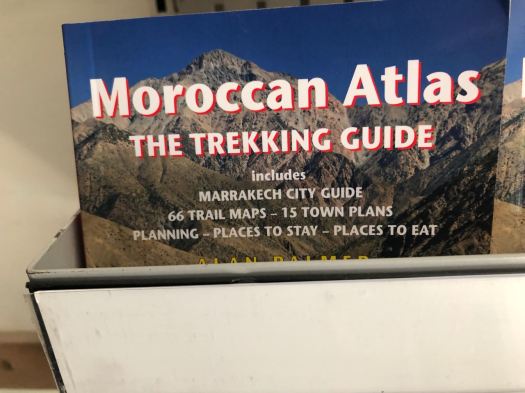
But the Atlas Extreme shop was finally open. It is well stocked. Copies of all the english language trekking guidebooks including the one I had wanted – Moroccan Atlas by Alan Palmer. Every kind of camping fuel. Top line gear.

Eventually I noticed that the shop was not actually open. The workers there were doing some renovations.

I met the Canadian who got caught in the storm again.  He had an afternoon bus reservation. We decided to try to walk out past all the road blockages to get the first possible transport.

It was less than a km to reach waiting taxis. He and I outbid others wanting to climb into the first waiting vehicle. I paid 6 times what I’d paid on the way up.

It was worth it.

AND he made it to the bus station in Marrakesh on time. With 10 minutes to spare.

My adventure was a surprising success considering how little information I had on arrival in Imlil five days earlier.

day 1 | 2 | 3 | 4 | 5 | info | video

Morocco’s Toubkal Circuit – day 4

Trip report by BestHike editor Rick McCharles.

day 1 | 2 | 3 | 4 | 5 | info | video

Once again the guided hiking group nearby was up and gone before I’d even woken up.

I started up into a very cool gorge section. It was dark and hazy.

This is Azib Imi n’Ouassif (2841m), a crossroads of several gorges where some people camp.

From here it’s a steep climb to the pass at Tizi n’Ouanoums.

Escapee goats live on these inhospitable cliffs. There’s not much to eat.

It was a bit of a relief to reach the second high pass of the circuit. From here it was all downhill … at least while carrying full pack.

Descending the pass was supposed to be a bit treacherous. As I crossed it wasn’t all that bad.

I could see some of the Iceland group having lunch at the bottom. By the time I got there they had begun climbing a secondary trail up the other side to the 2nd / 3rd highest peaks in north Africa. Their guide stayed back having hurt his ankle. In fact he sent the group cook as guide in his stead.

I had some lunch too. Then, with plenty of time, followed. Weather looked good.

The scramble to one Ouanoukrim summit — Ras Ouanoukrim (4083m) — in a hail storm turned out to be the highlight of the entire circuit. We had a blast.

Click PLAY or watch it on YouTube.

I hustled over to another lump of a peak — Timzguida (4089m) — which we later found out to be 5m higher.

In fact my phone had it (wrongly) at 4100m.

I left a Summit Stone.

Once safely down, the others headed off briskly (as they always did) to rejoin their group. One of the men, Dorfi, had once led a 3 week horse trek across Iceland. This weather was nothing to him. He wore a wool sweater under a waterproof poncho on that trip. Never got wet.

In no rush I walked slowly downhill to Toubkal Refuge (3207m).

I’d plan to wild camp again … until I saw the massive complex. It looked intriguing.

As it was raining too I decided to camp at Refuge Mouflon and sign up for the 7pm dinner. It was pretty good.

I charged my batteries in Mouflon after dinner and watched an episode of Better Call Saul on my phone as I waited. Then headed out into the rain to my tent.

day 1 | 2 | 3 | 4 | 5 | info | video

Morocco’s Toubkal Circuit – day 3

Trip report by BestHike editor Rick McCharles.

day 1 | 2 | 3 | 4 | 5 | info | video

I had camped at a site called Azib Likemt with a guided German group.

They were up and gone long before I finished my coffee.

I followed the last of their horsemen up and over a low pass.

From the col you descend to the impressive Berber village of Amsouzert (1797m).

When water is available this mountain range is incredibly lush.

It’s a very interesting place. I could see staying overnight here.

Many homes had satellite dishes.

In fact, I later decided to recommend future hikers start at Amsouzert. It’s on the N10 highway connecting Marrakesh and Ouarzazate. A private taxi is the easiest way to get here.

Not stopping at the many shops and restaurants, I continued up up up to famous Lac d’Ifni back in the National Park.

It’s incredibly rugged with the trail forced high above.

Here I debated whether to stop at the lake. Or continue up towards the gorge climb for the next day.

Pushy shopkeepers decided it for me. I don’t like being harassed while hiking.

So it was out onto the massive spring flooding wash of stones.

Surprisingly, I couldn’t find any water until I reached camp.

Once again I camped near a guided group, this one from Iceland.

I chose my tent site as safest from rockfall.

It was still fairly early in the evening so I did some wandering, mostly laughing at the goats and sheep coming down from the gorge for nightfall.

day 1 | 2 | 3 | 4 | 5 | info | video