Morocco’s Toubkal Circuit – day 5

Trip report by BestHike editor Rick McCharles.

day 1 | 2 | 3 | 4 | 5 | info | video

Most guided hikers departed in the dark as — normally — the peak is clearest in the morning. I decided to wait until first light, instead.
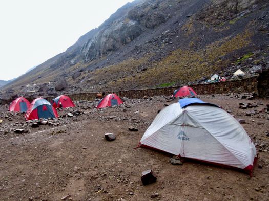
In fact, before dawn there were lightning flashes in the direction of Toubkal. I rolled over thinking I’d not be doing the peak at all.

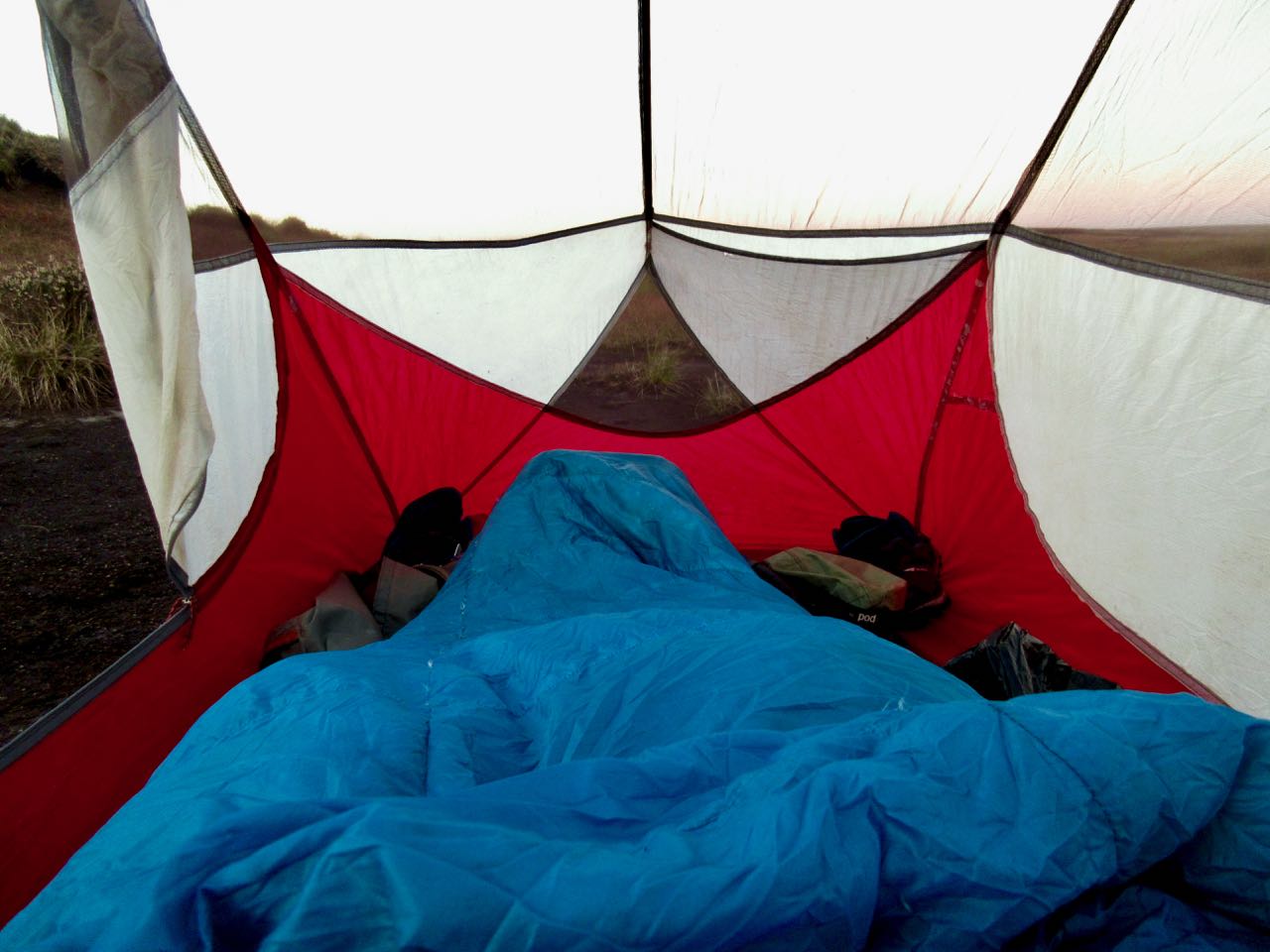
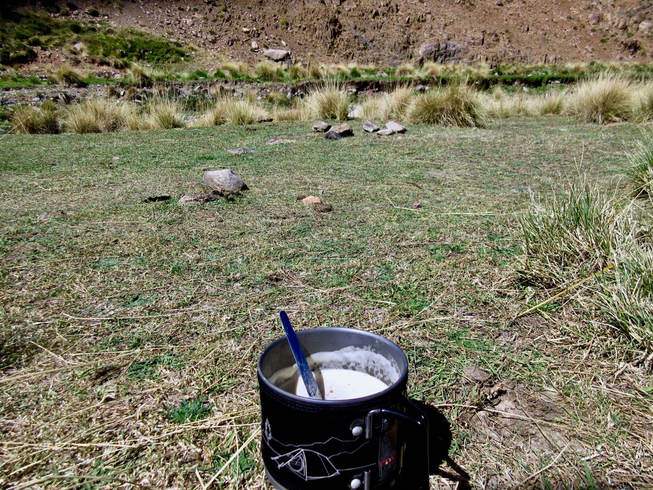
On waking I enjoyed 2 pots of coffee … and waited about an hour before packing up.

… but weather seemed to be clearing.
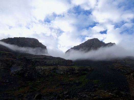
It was worth giving it a try. I could always turn back if lightning resumed.

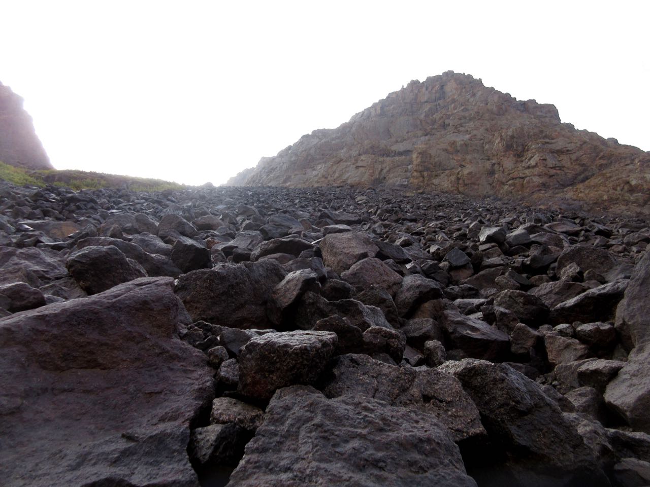
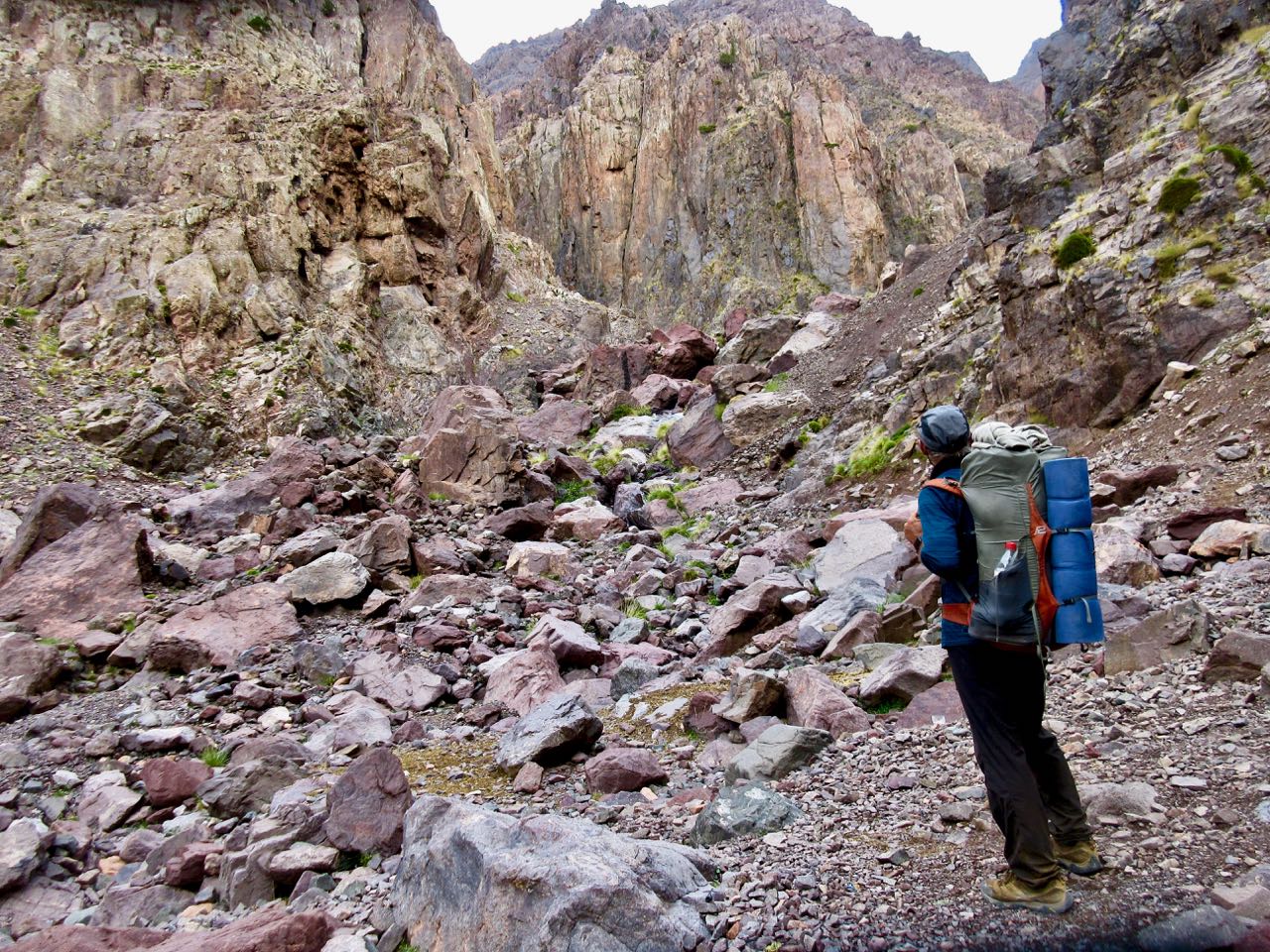
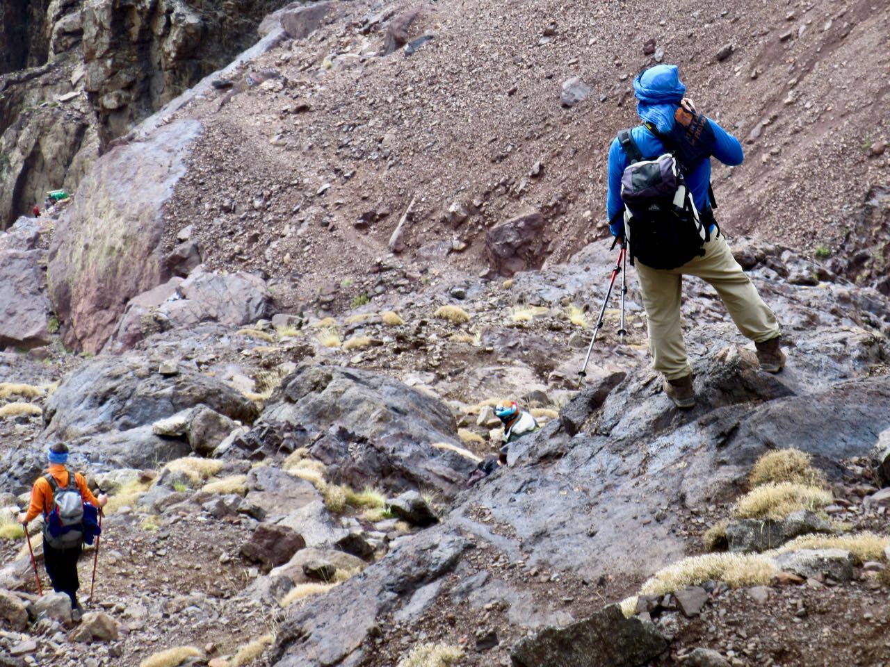
The start of the Toubkal climb is the most challenging part. It’s a scramble.
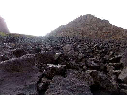
While I was beginning dozens were descending, many wearing headlamps. That was a bit disconcerting. #late #late #late

Vertical gain is about 960m, but it seemed to go quickly and easily for me. I was well acclimatized for altitude.
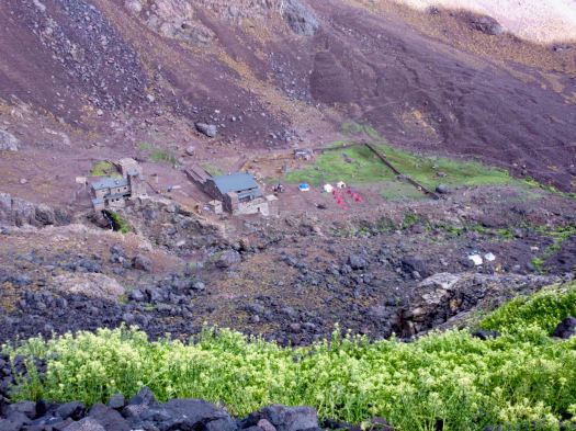
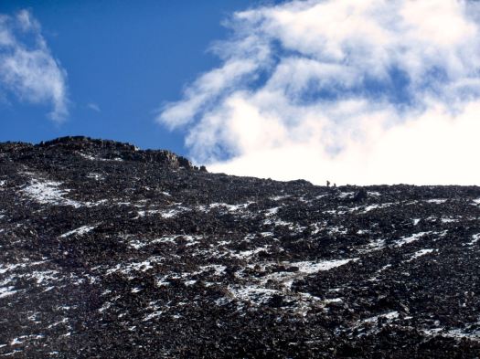
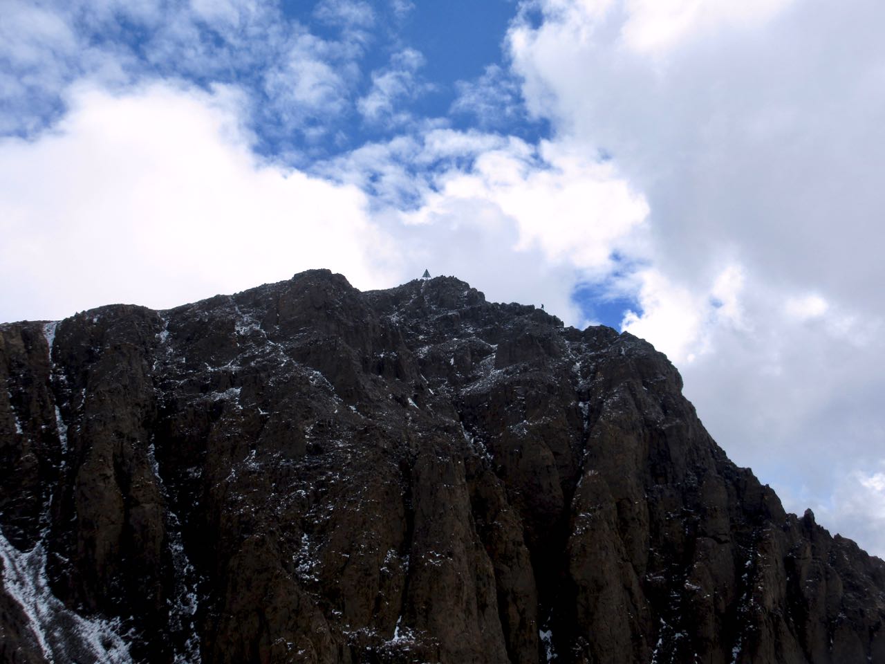
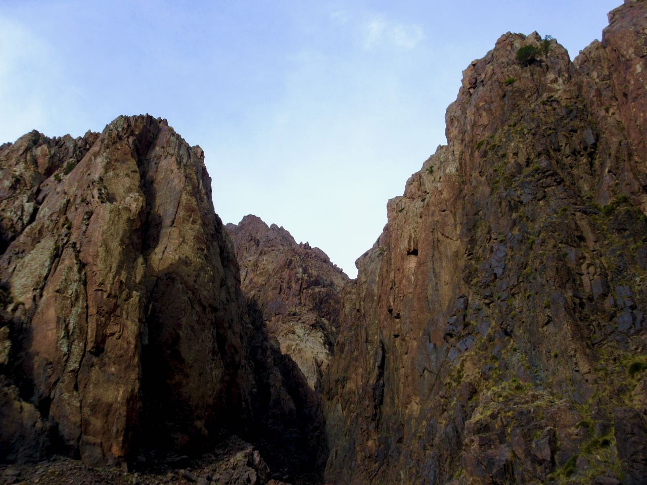
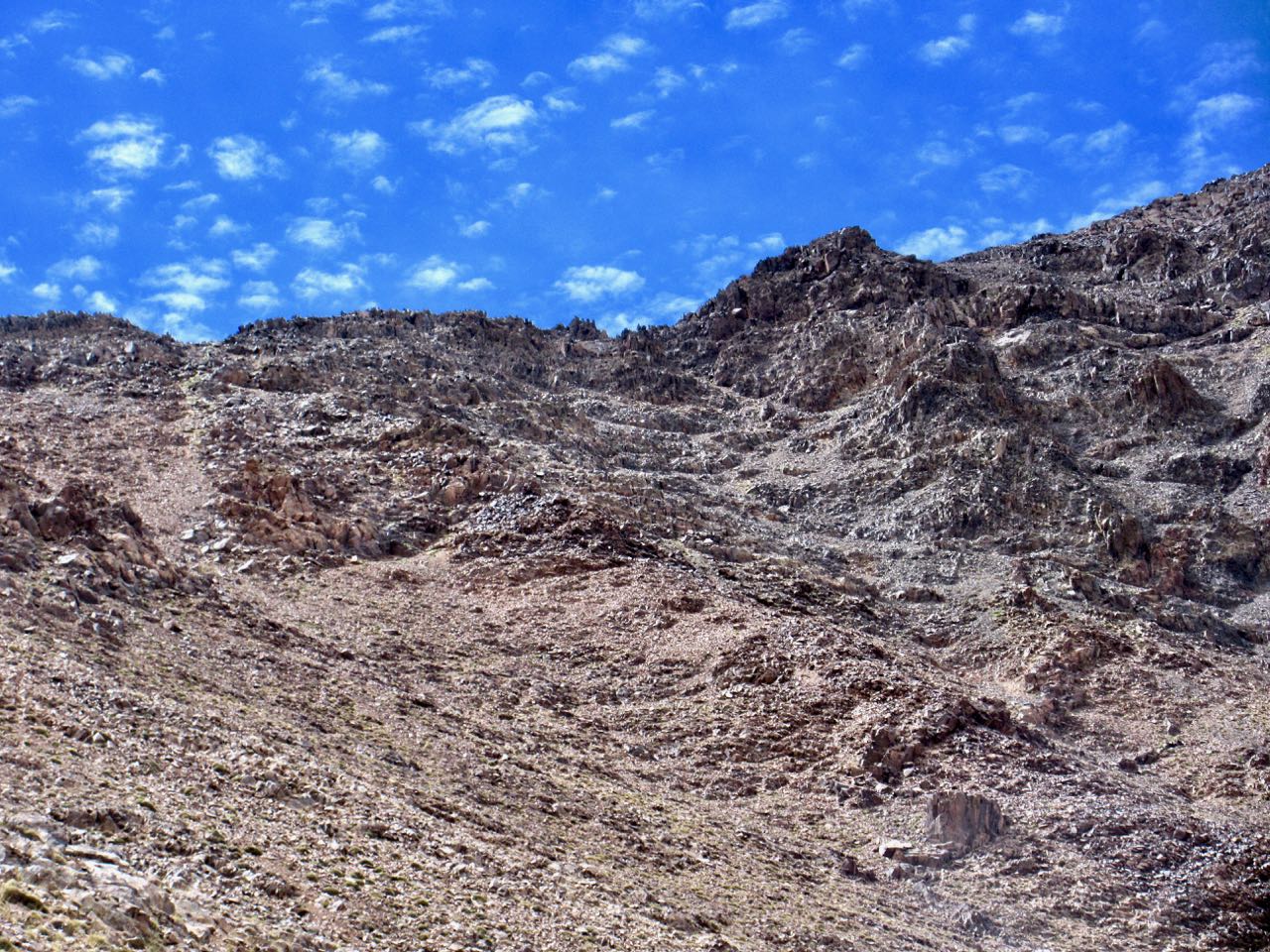
There are several false summits. Here was my first glimpse of the top.
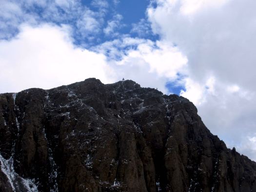
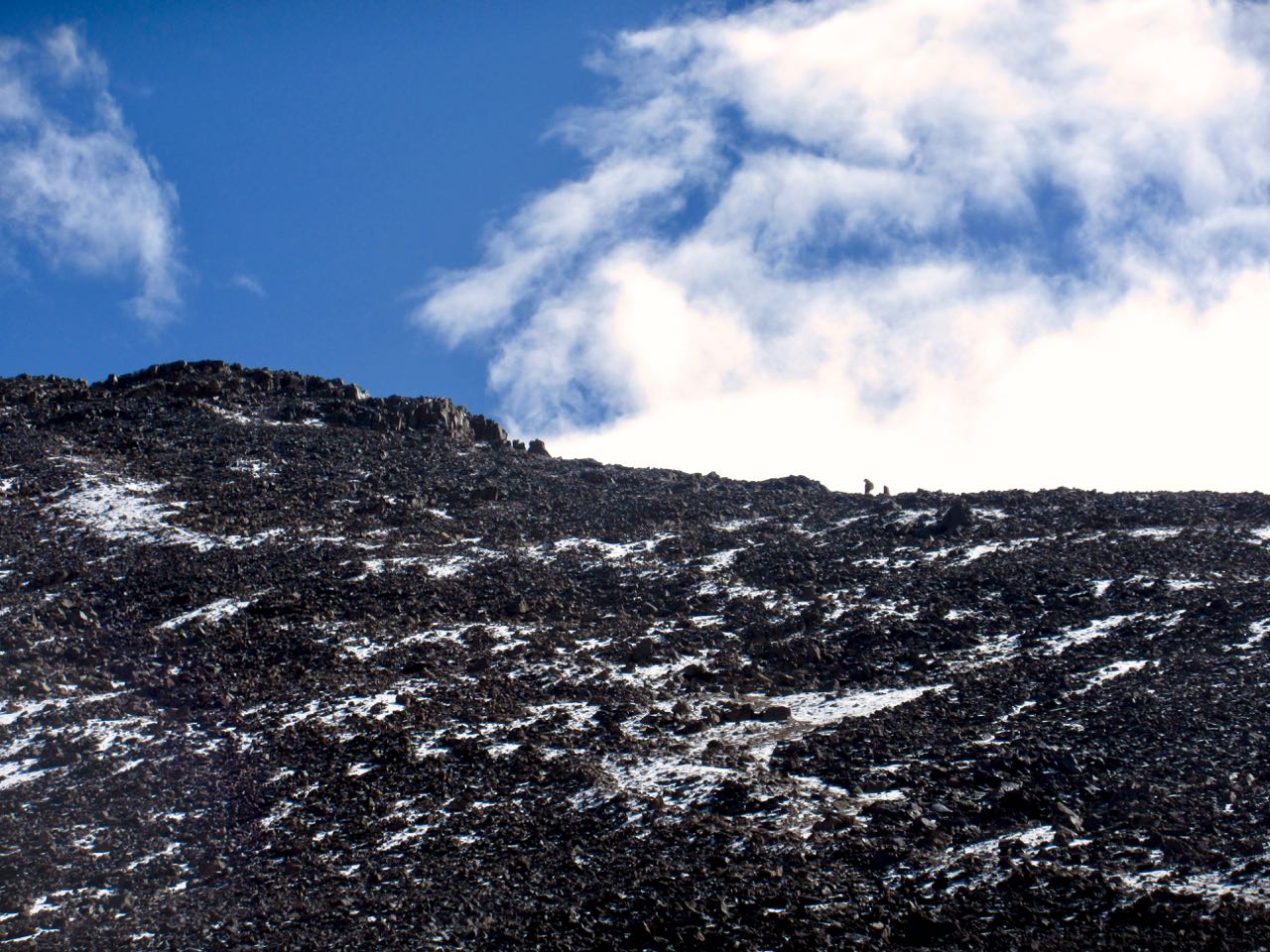
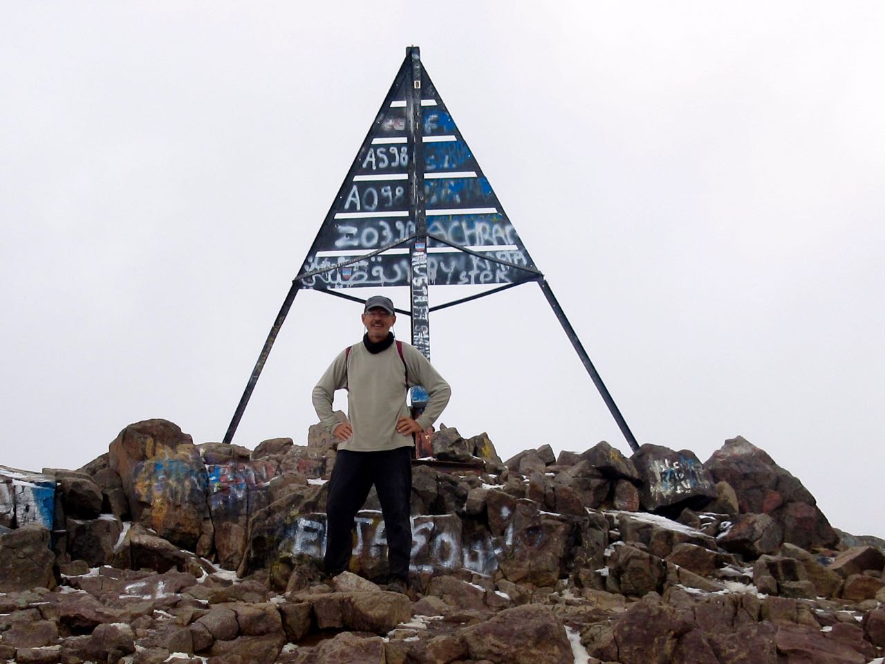
Myself and a couple from eastern Europe were the highest humans for at least 2000km. And the views were great. 🙂
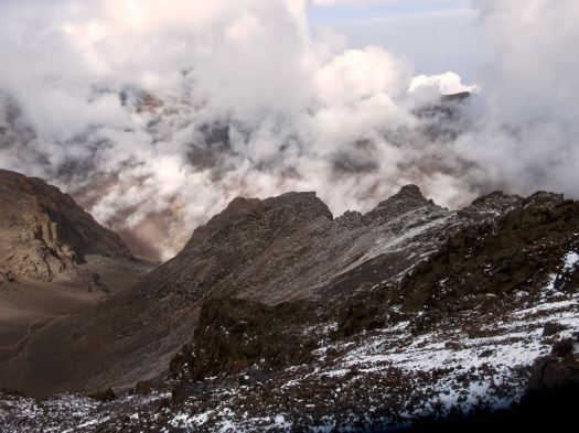
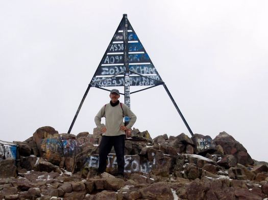
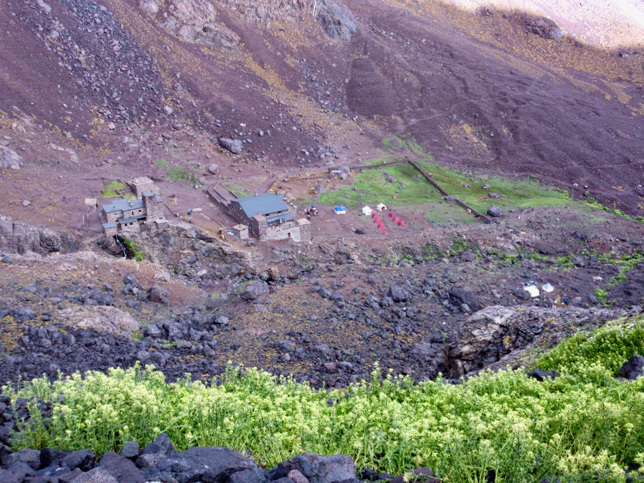
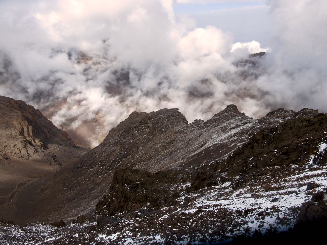
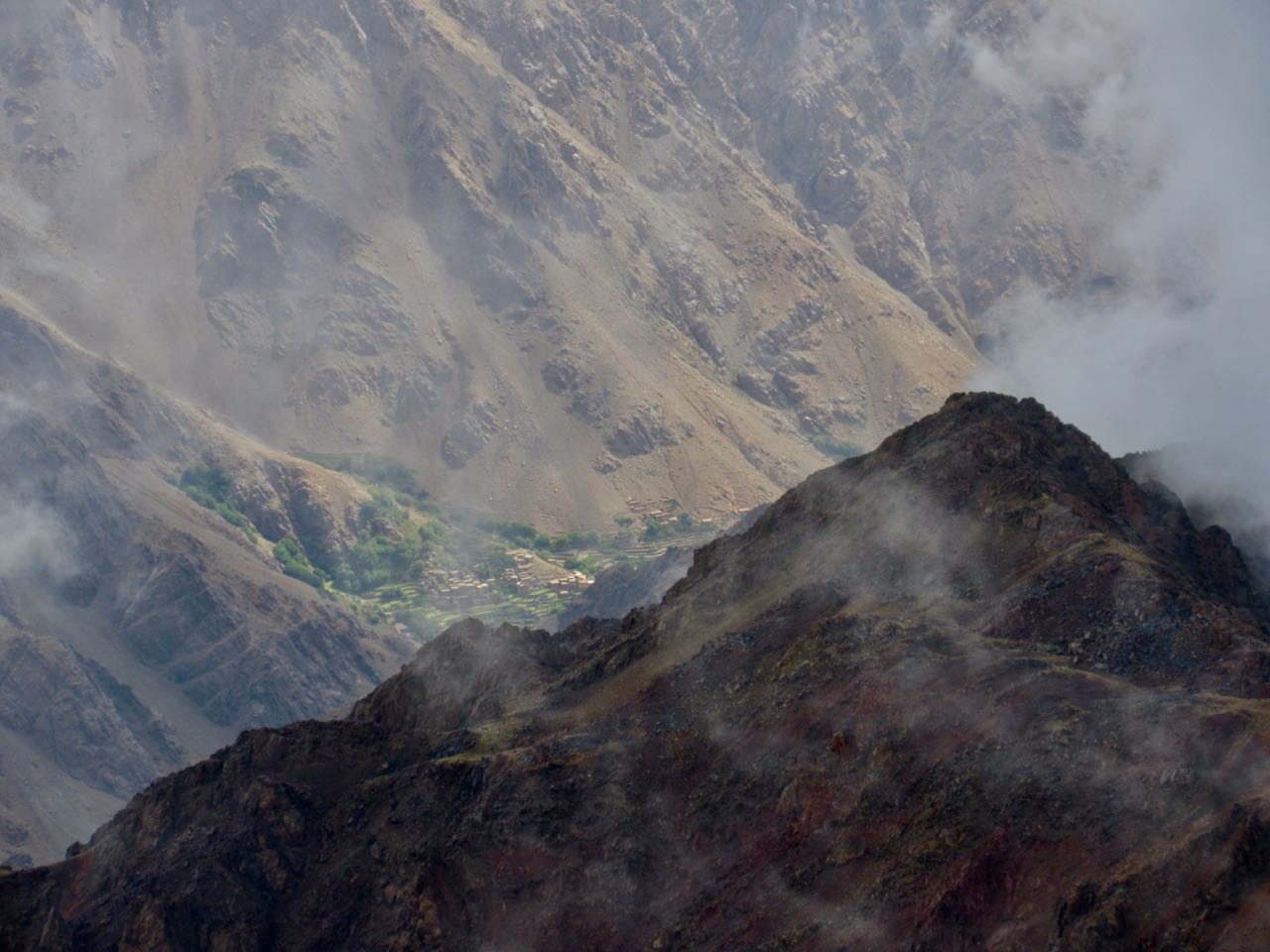
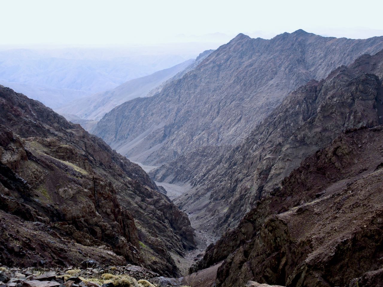
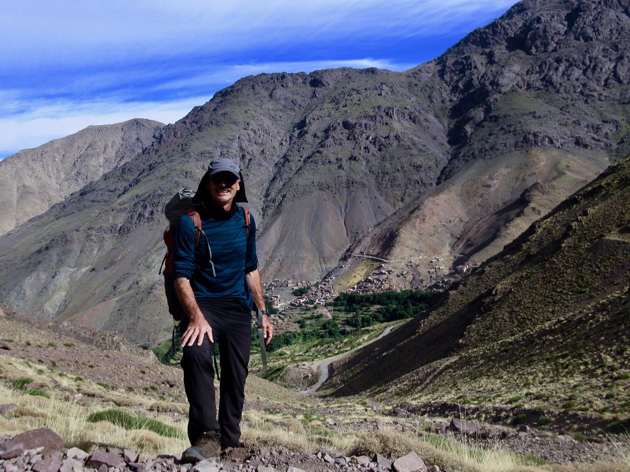
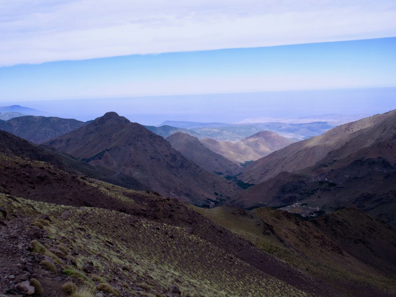
I could look back to where I’d come from a couple of days ago.
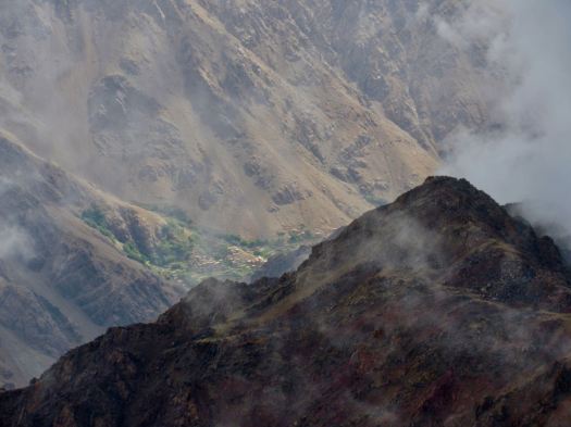
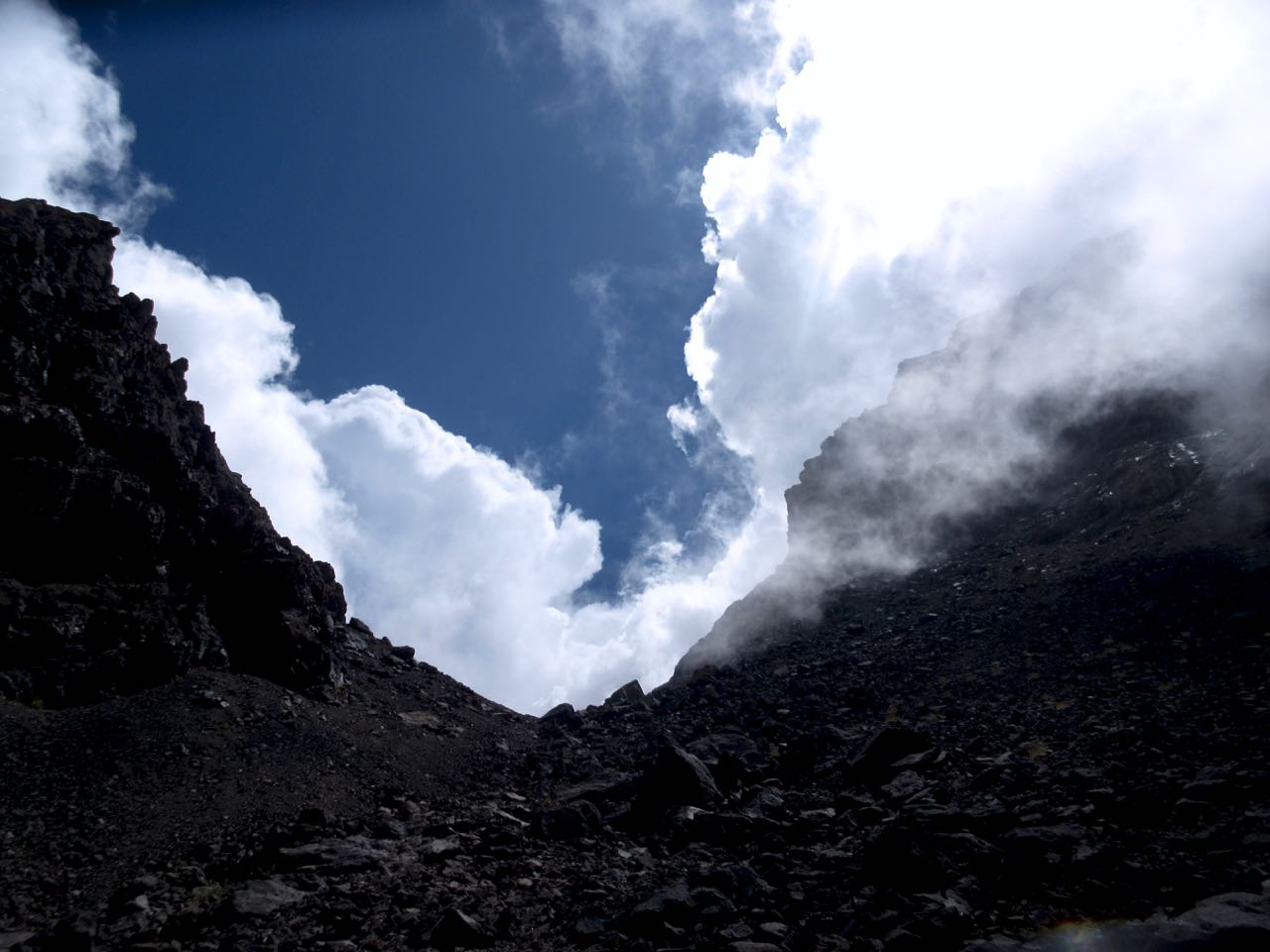
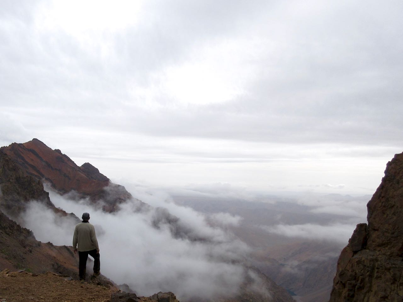
If anything, weather was still improving.
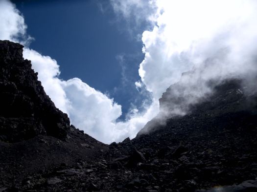
We were the last people on the mountain … except for one Canadian coming up even later. And a Moroccan couple. They were very late because they’d walked up from Imlil. That’s over 2400m of gain in one day!

The couple had found my PHONE! I’d left it on a boulder on the way up. Whew!

I enthusiastically thanked them and urged them to continue as they’d be getting much better weather than the early morning mob.

… I was way wrong. ☹️

Thunder and lightning returned about an hour later. The Canadian turned back. Last he saw the Moroccan couple were still ascending into the lighting storm. Very dangerous.

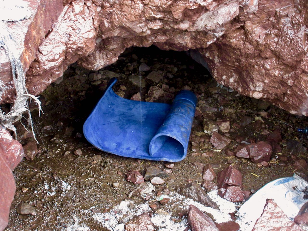
Me? I hid in a cramped cave.
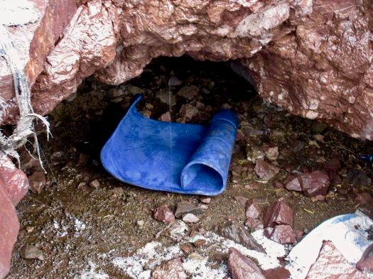
Once it finally quit I trudged tiredly down to Imlil.

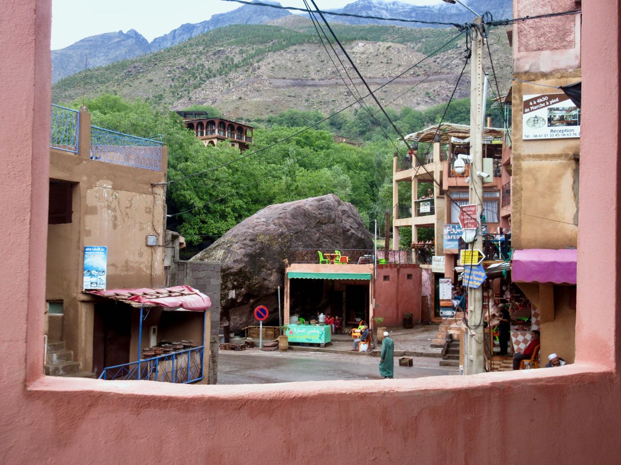
It’s a pretty town, actually.
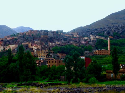
I was totally psyched to make it back to Marrakesh same day. I pushed.

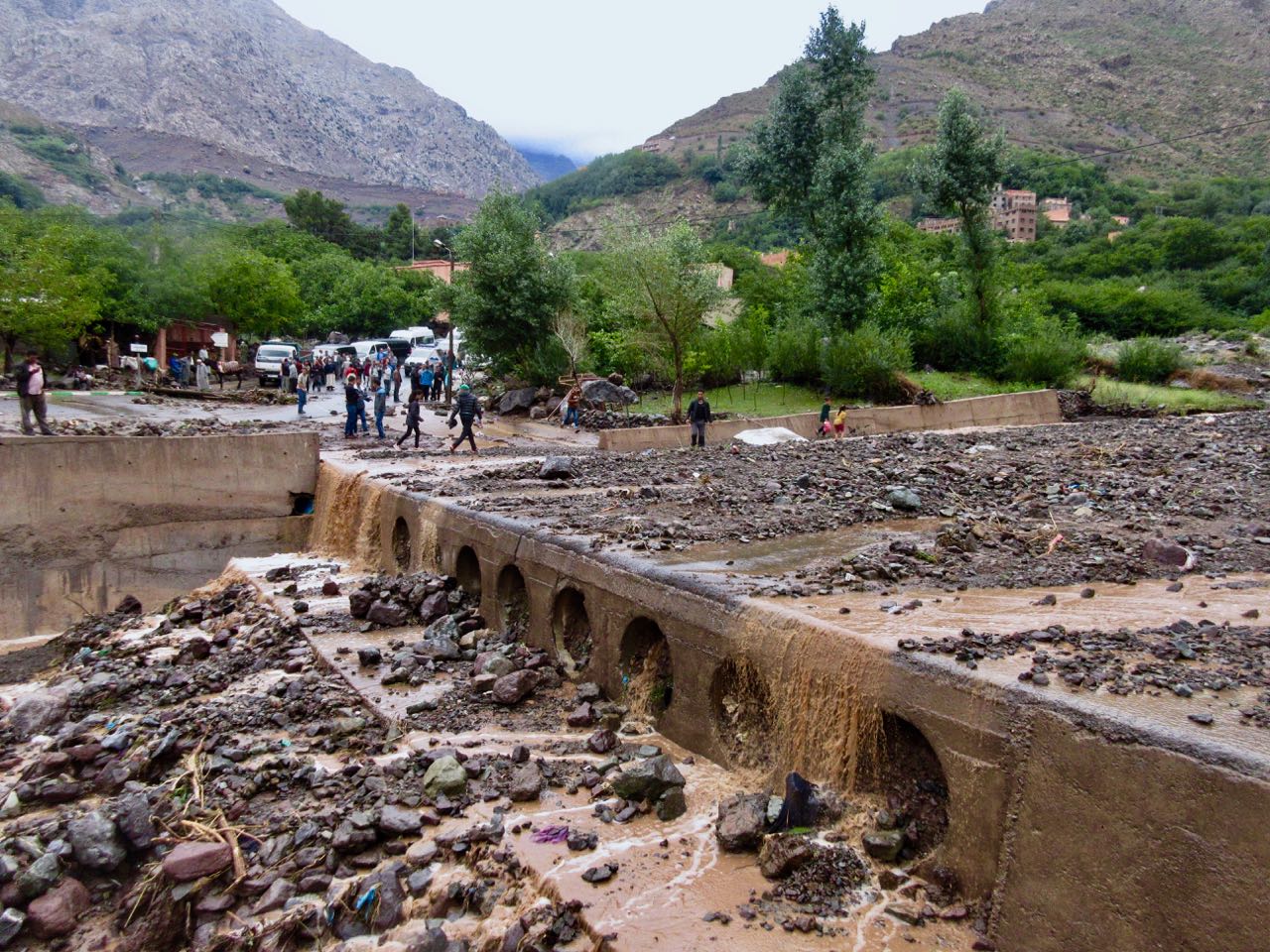
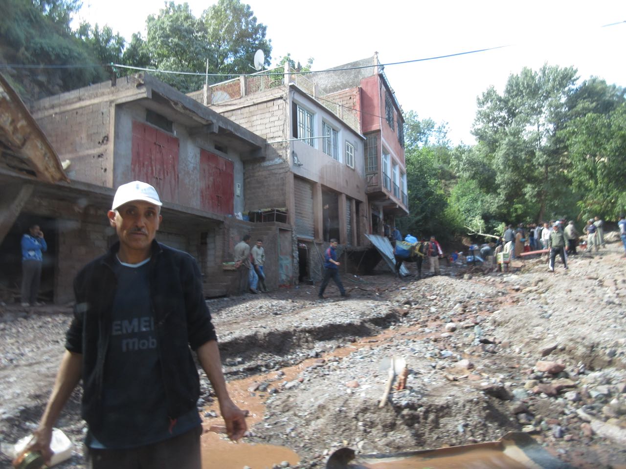
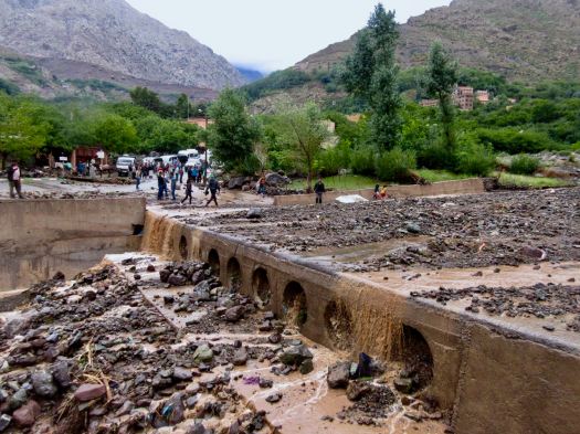
But the road near the taxi stand was impassable due to flash flood.
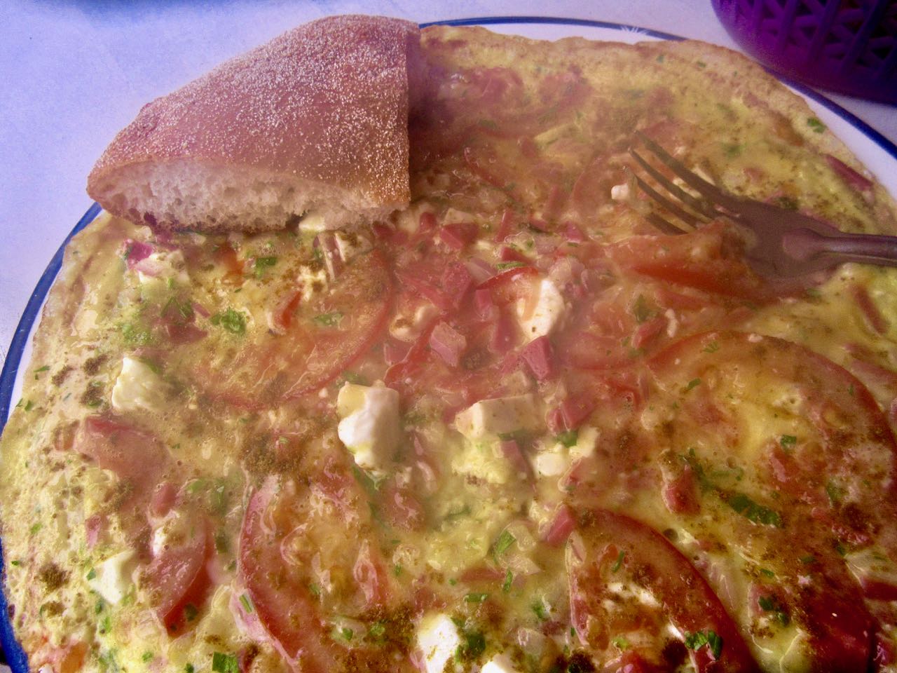
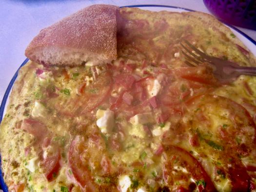
I turned back and had dinner in a crossroads restaurant. A huge, steaming omelette.
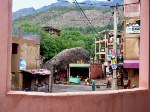
A Brit I’d spoken with earlier on the street had recommended their hotel — Les Etoiles de Toubkal.

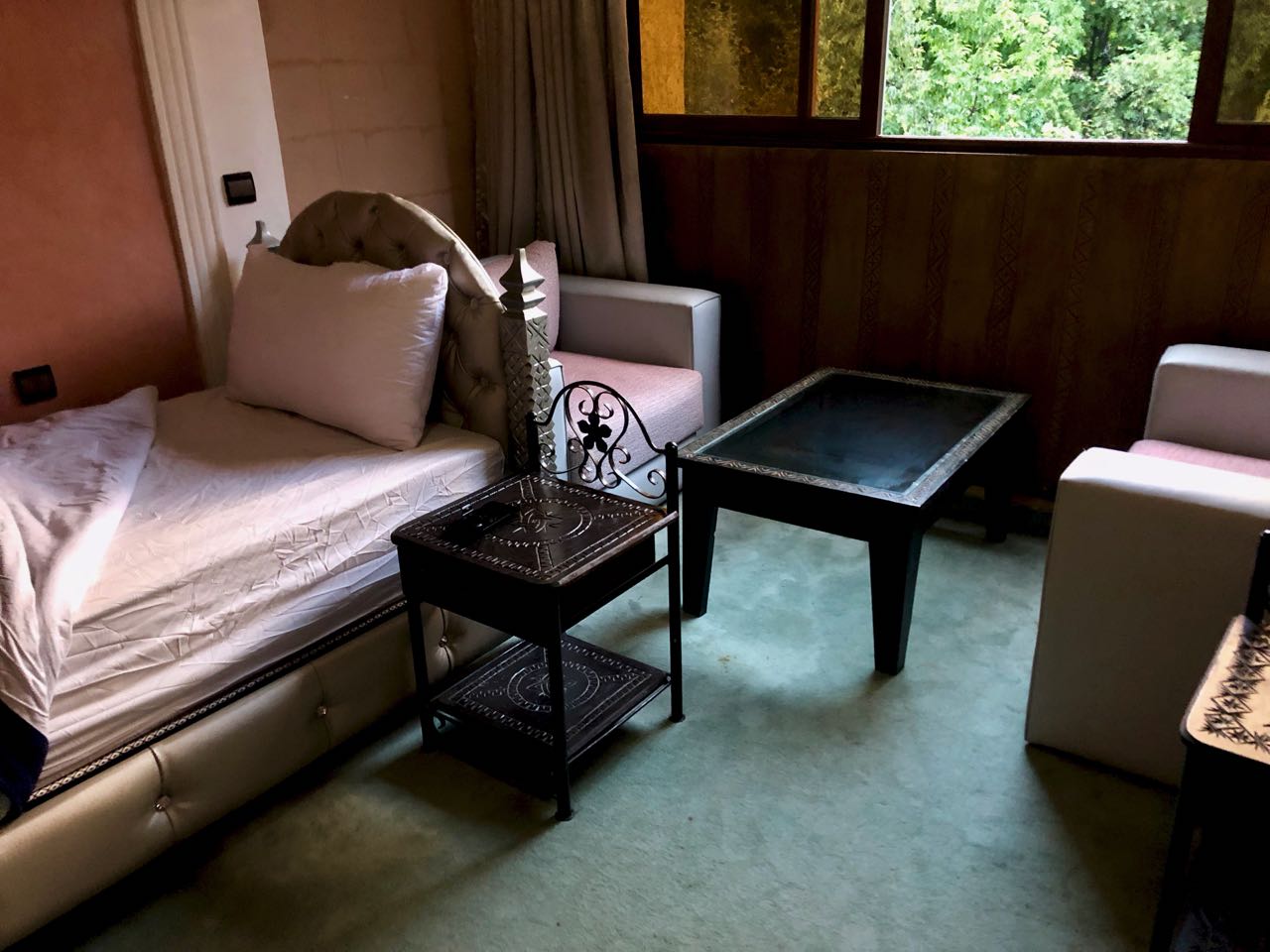
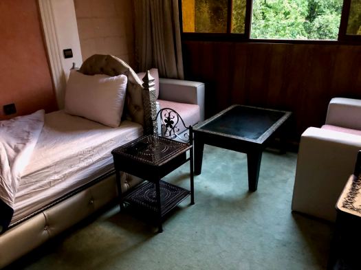
It was excellent. The best room I’d had in nearly 2 months. It cost me $30 including breakfast.

I took several hot, hot showers and went to sleep early.

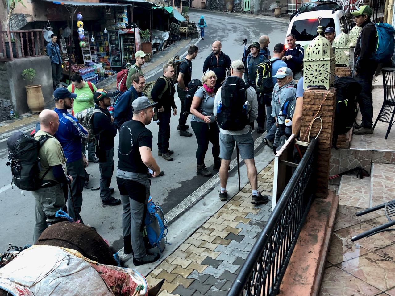
Next morning I was up before daylight as almost every other guest was packing up and getting ready to hike up to the Refuge. It was fun having breakfast with an enthusiastic group from the U.K.

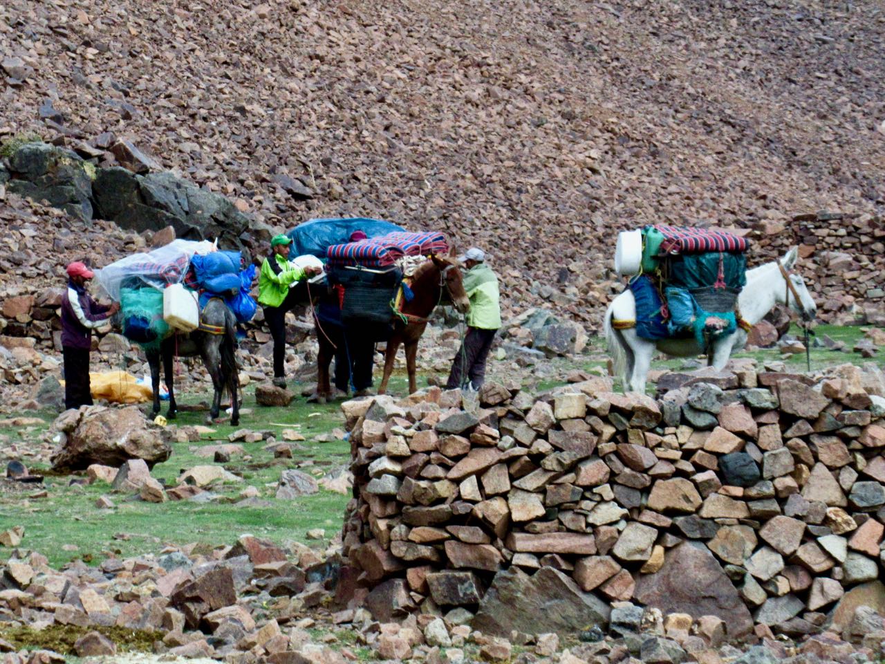
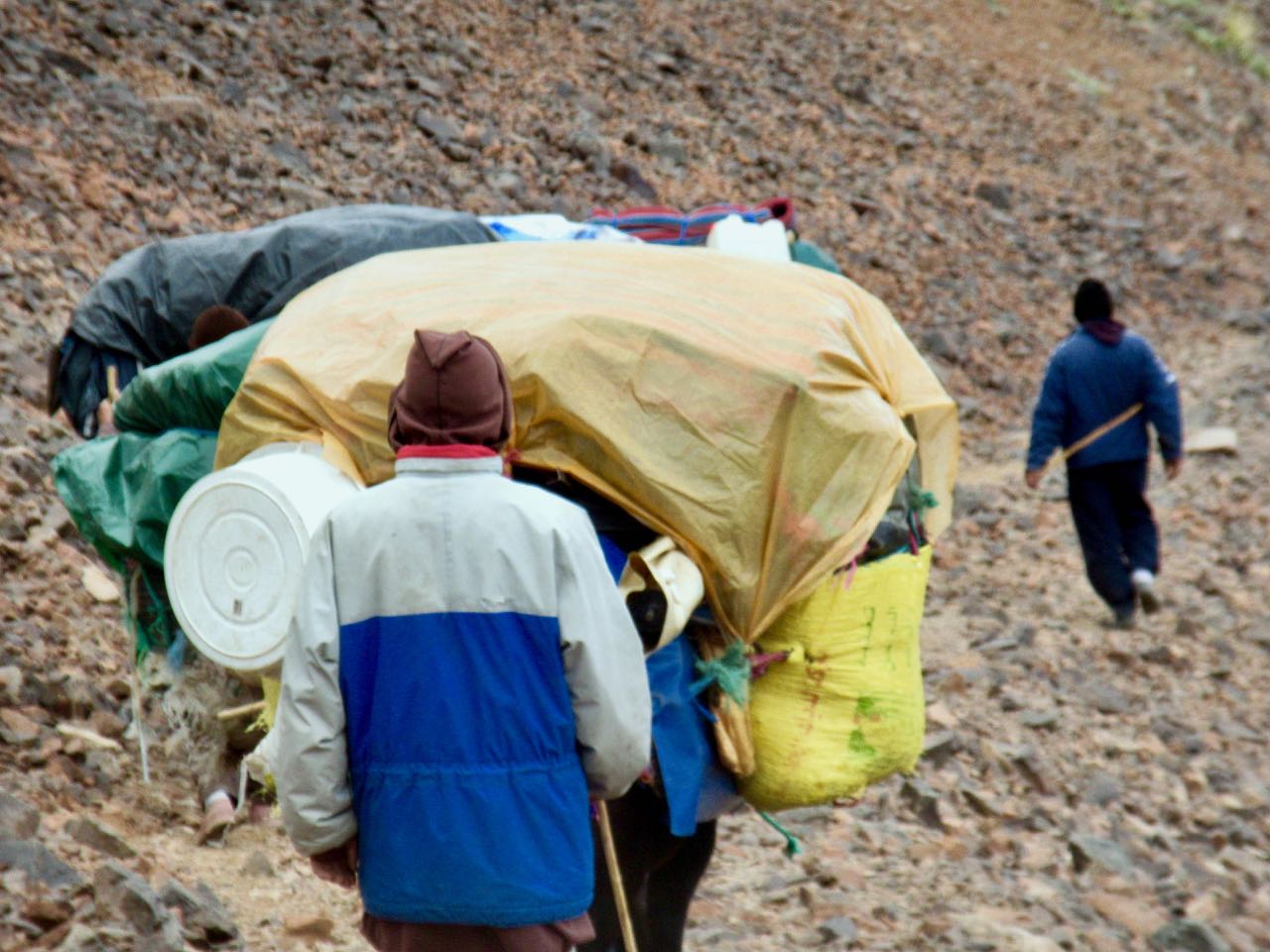
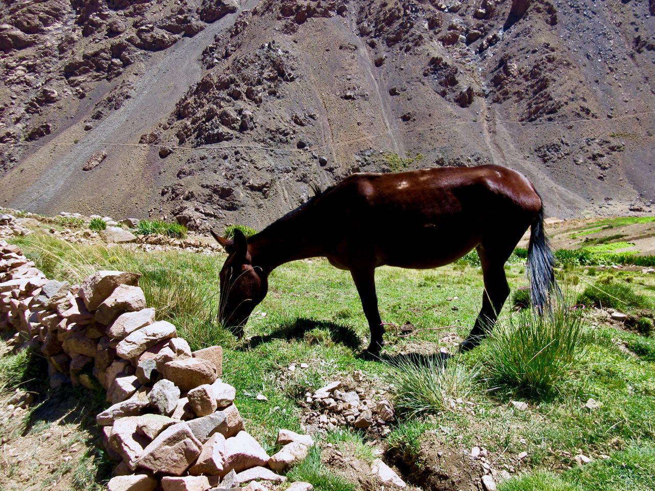
They left at 8am just as their mules were arriving. YES they did have mules, not horses.
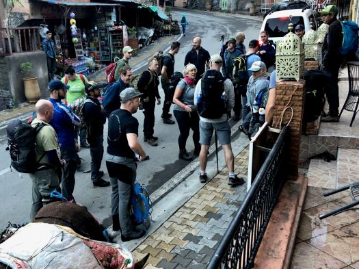
Their U.K. guide confided to me that getting a large group like this started was like herding cats. But once on the trail, it was easy.

My hotel told me the road might open about noon. That prices for transportation would be higher than normal because of the backlog.

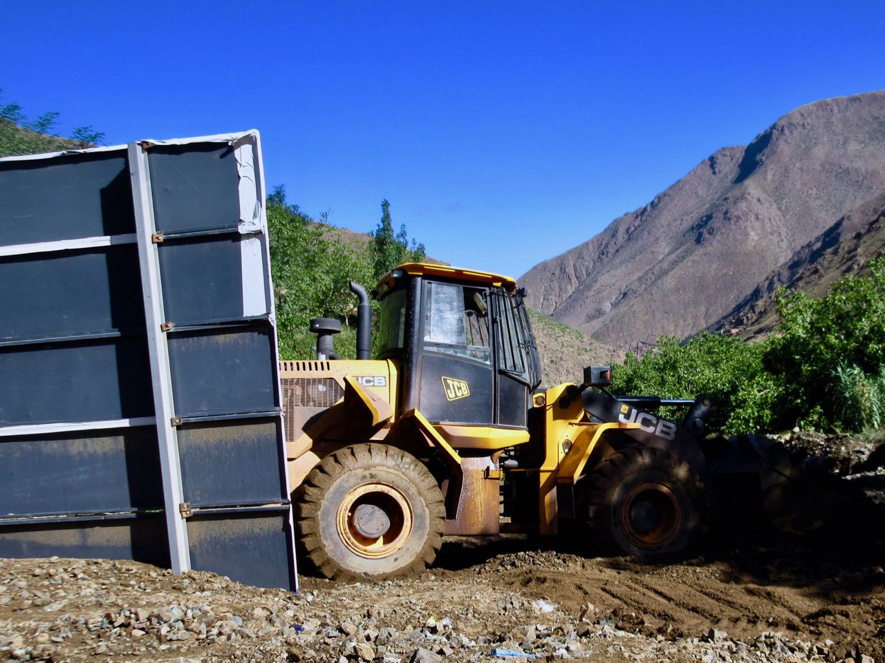
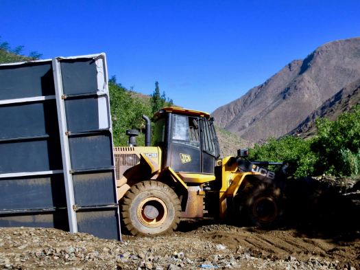
I walked down to check. Road still closed. Big machines still arriving.
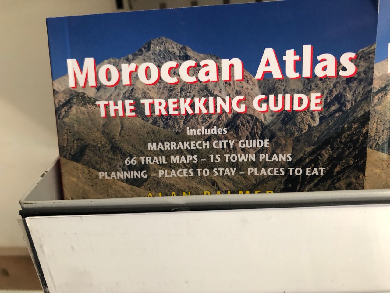
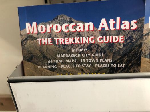
But the Atlas Extreme shop was finally open. It is well stocked. Copies of all the english language trekking guidebooks including the one I had wanted – Moroccan Atlas by Alan Palmer. Every kind of camping fuel. Top line gear.
Eventually I noticed that the shop was not actually open. The workers there were doing some renovations.

I met the Canadian who got caught in the storm again.  He had an afternoon bus reservation. We decided to try to walk out past all the road blockages to get the first possible transport.

It was less than a km to reach waiting taxis. He and I outbid others wanting to climb into the first waiting vehicle. I paid 6 times what I’d paid on the way up.
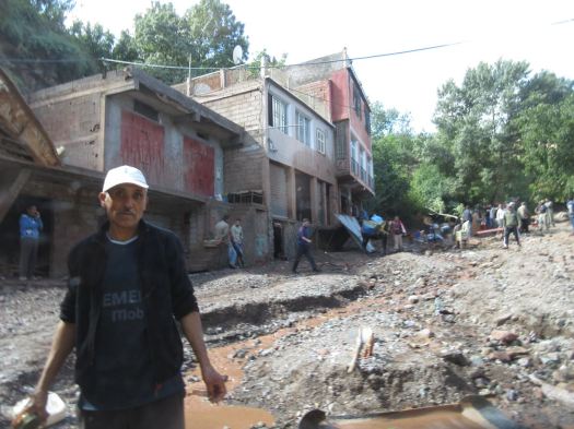
It was worth it.

AND he made it to the bus station in Marrakesh on time. With 10 minutes to spare.

My adventure was a surprising success considering how little information I had on arrival in Imlil five days earlier.

day 1 | 2 | 3 | 4 | 5 | info | video

Morocco’s Toubkal Circuit – day 4

Trip report by BestHike editor Rick McCharles.

day 1 | 2 | 3 | 4 | 5 | info | video

Once again the guided hiking group nearby was up and gone before I’d even woken up.

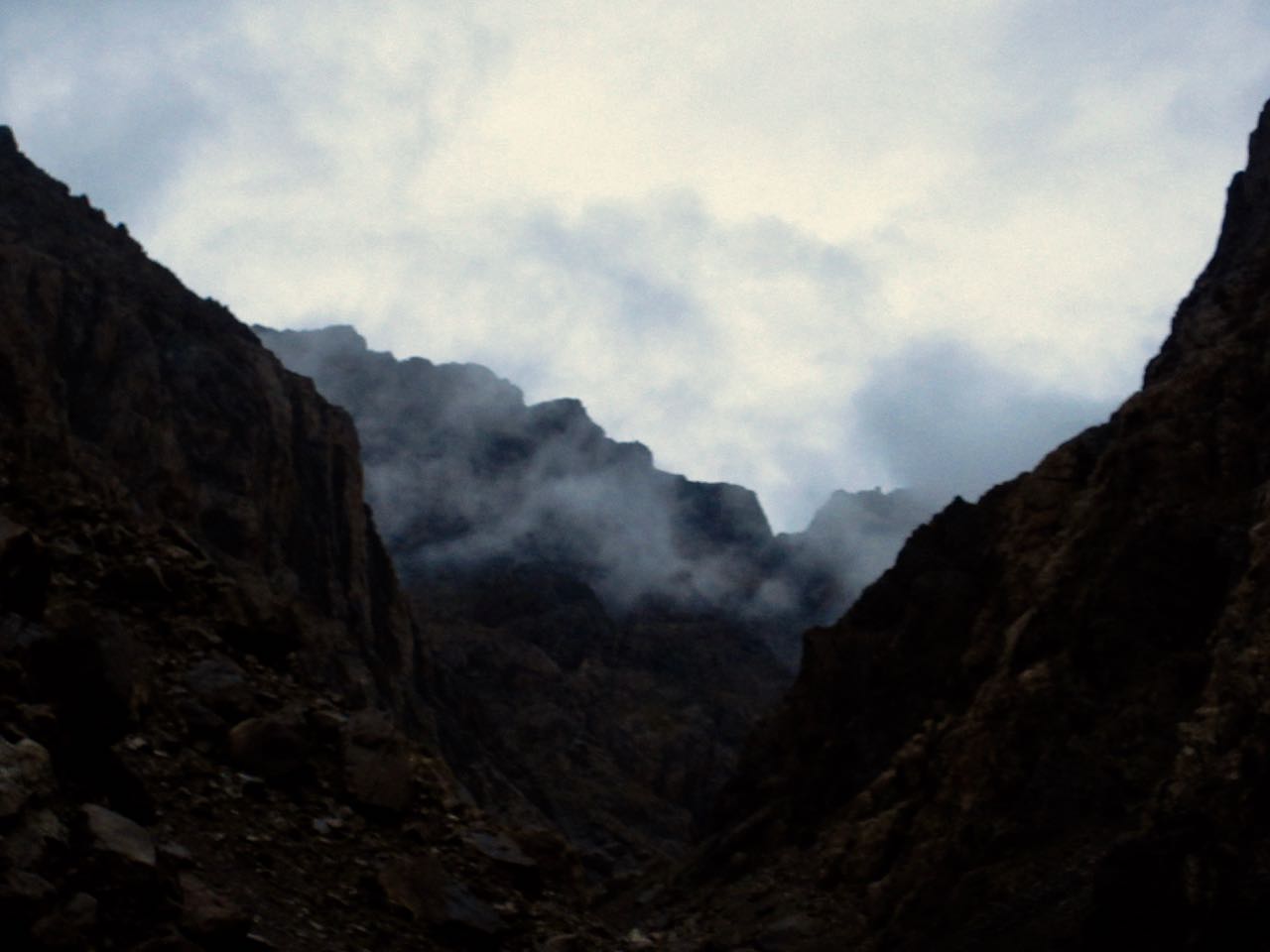
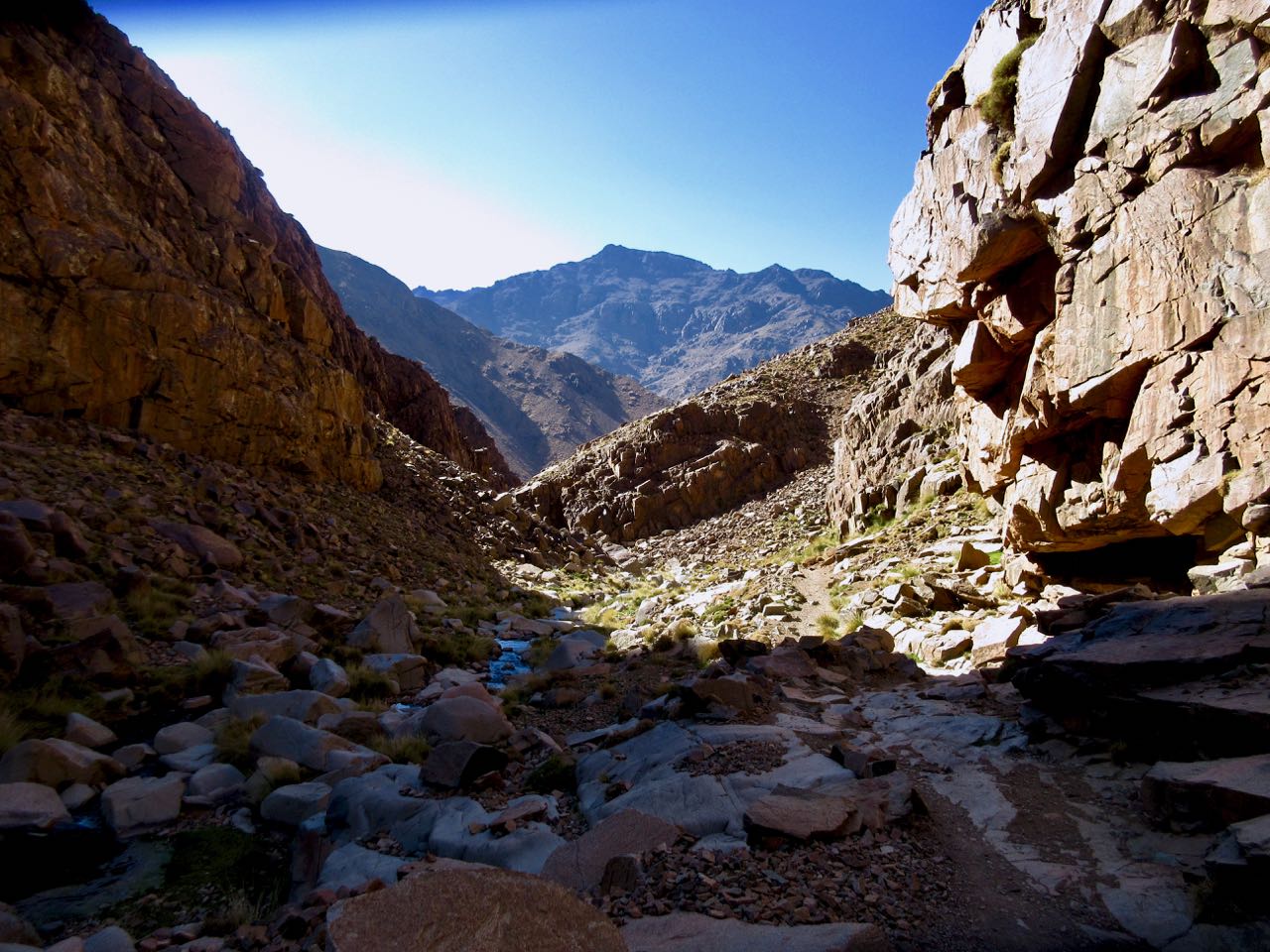
I started up into a very cool gorge section. It was dark and hazy.

This is Azib Imi n’Ouassif (2841m), a crossroads of several gorges where some people camp.

From here it’s a steep climb to the pass at Tizi n’Ouanoums.

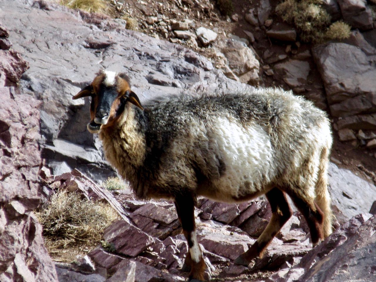
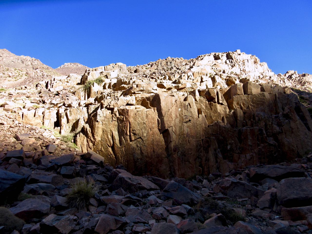
Escapee goats live on these inhospitable cliffs. There’s not much to eat.

It was a bit of a relief to reach the second high pass of the circuit. From here it was all downhill … at least while carrying full pack.

Descending the pass was supposed to be a bit treacherous. As I crossed it wasn’t all that bad.

I could see some of the Iceland group having lunch at the bottom. By the time I got there they had begun climbing a secondary trail up the other side to the 2nd / 3rd highest peaks in north Africa. Their guide stayed back having hurt his ankle. In fact he sent the group cook as guide in his stead.

I had some lunch too. Then, with plenty of time, followed. Weather looked good.

The scramble to one Ouanoukrim summit — Ras Ouanoukrim (4083m) — in a hail storm turned out to be the highlight of the entire circuit. We had a blast.

Click PLAY or watch it on YouTube.

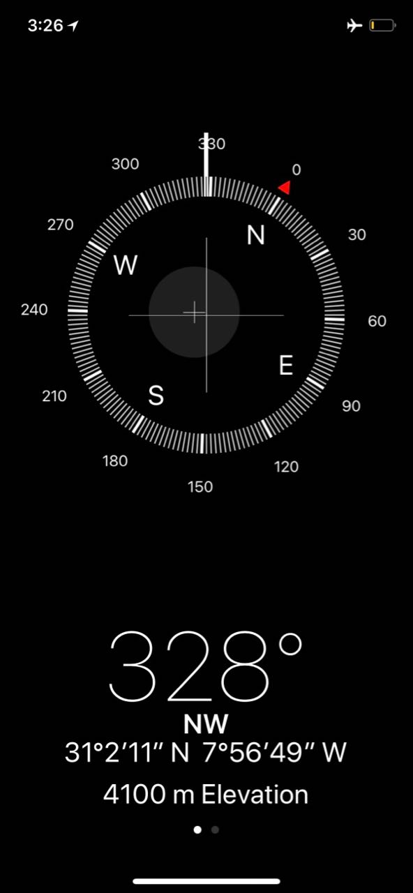
I hustled over to another lump of a peak — Timzguida (4089m) — which we later found out to be 5m higher.

In fact my phone had it (wrongly) at 4100m.

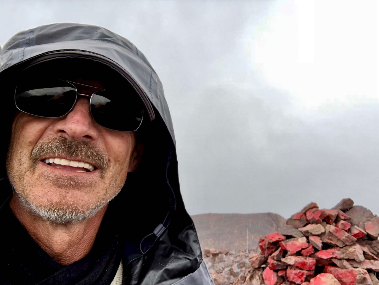
I left a Summit Stone.

Once safely down, the others headed off briskly (as they always did) to rejoin their group. One of the men, Dorfi, had once led a 3 week horse trek across Iceland. This weather was nothing to him. He wore a wool sweater under a waterproof poncho on that trip. Never got wet.

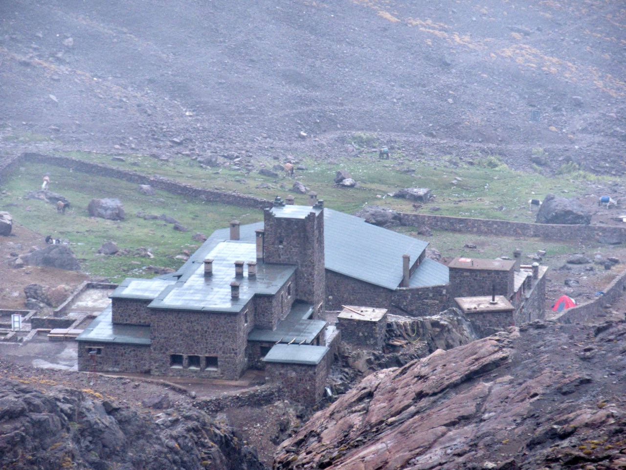
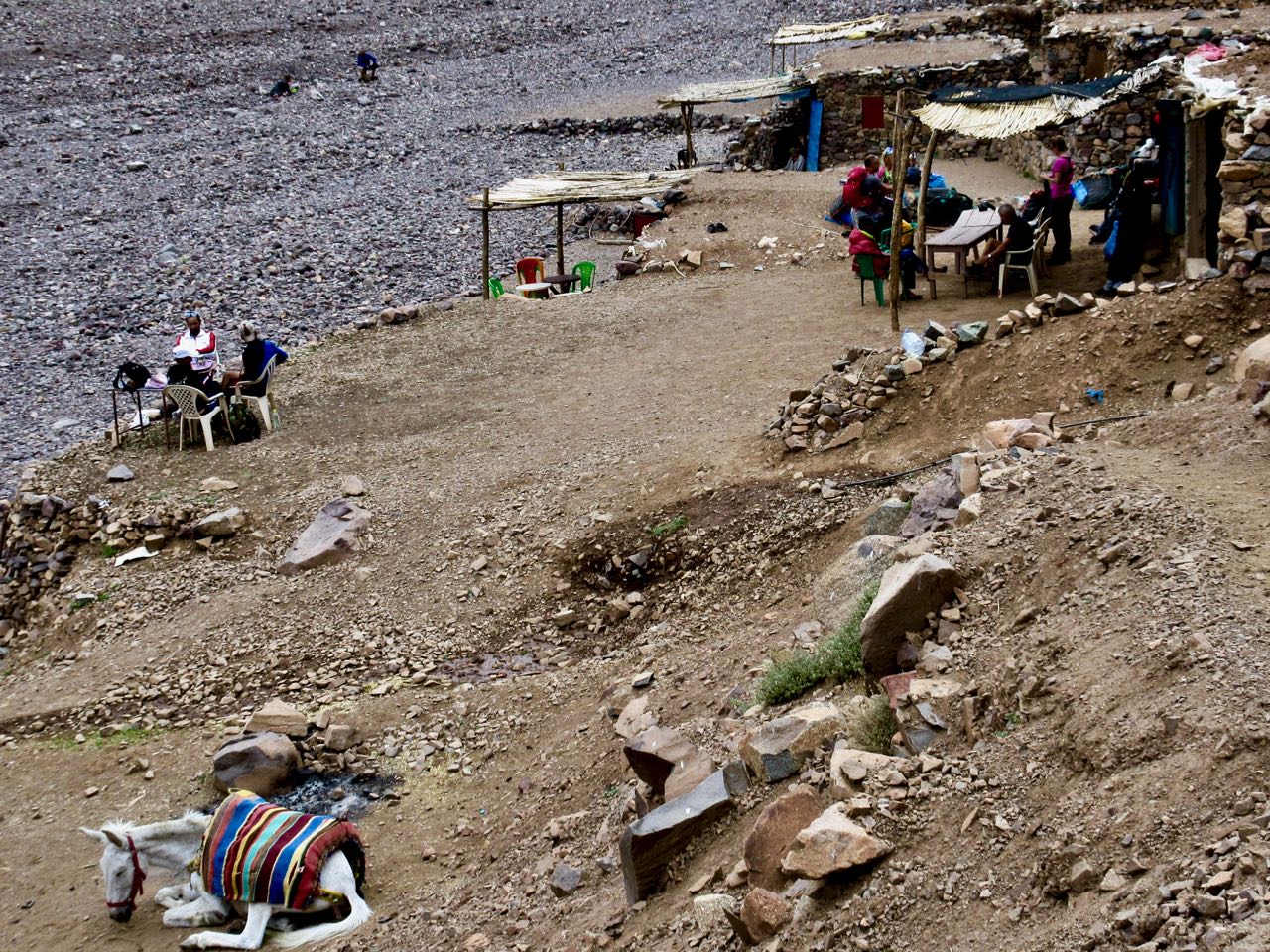
In no rush I walked slowly downhill to Toubkal Refuge (3207m).

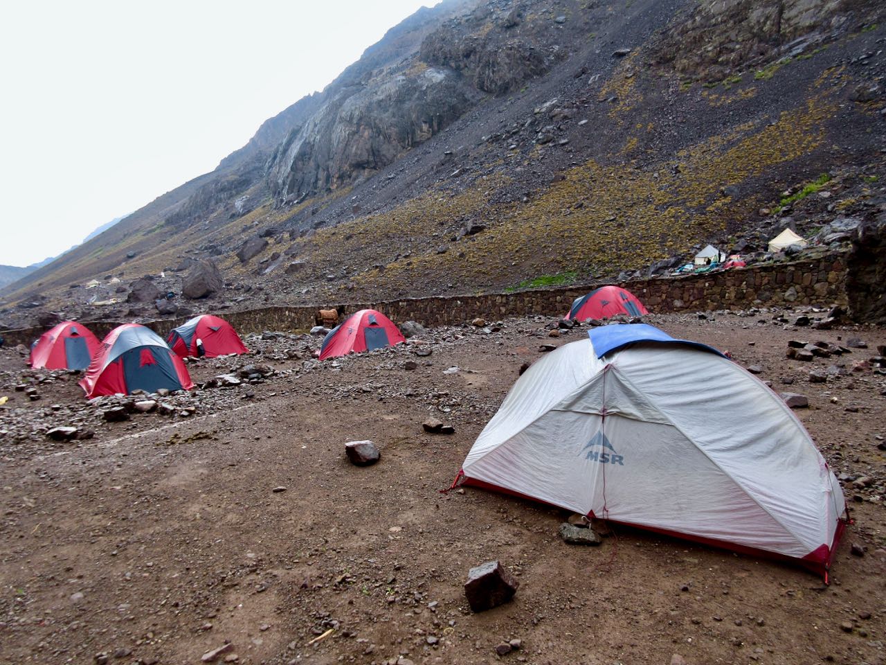
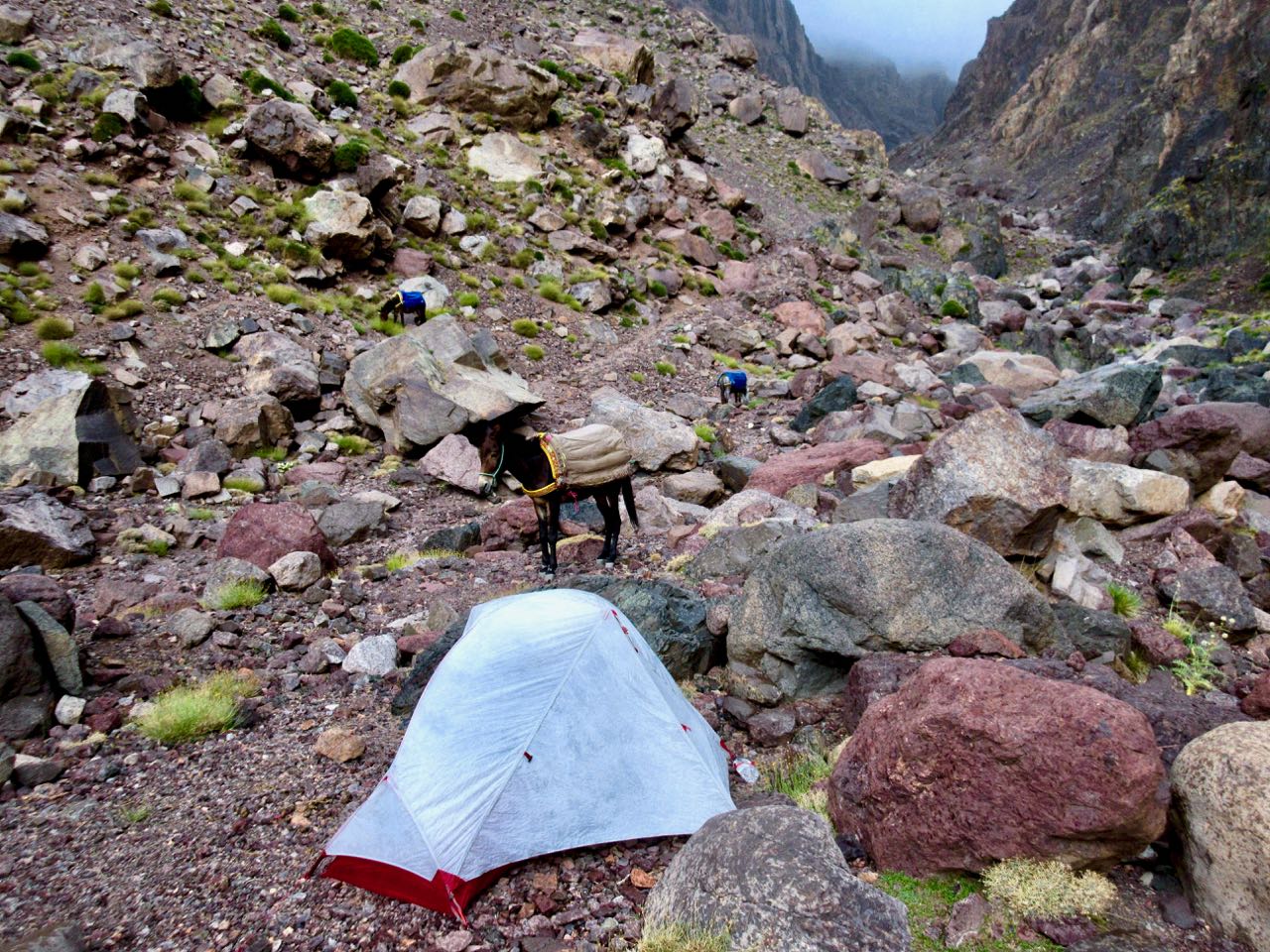
I’d plan to wild camp again … until I saw the massive complex. It looked intriguing.

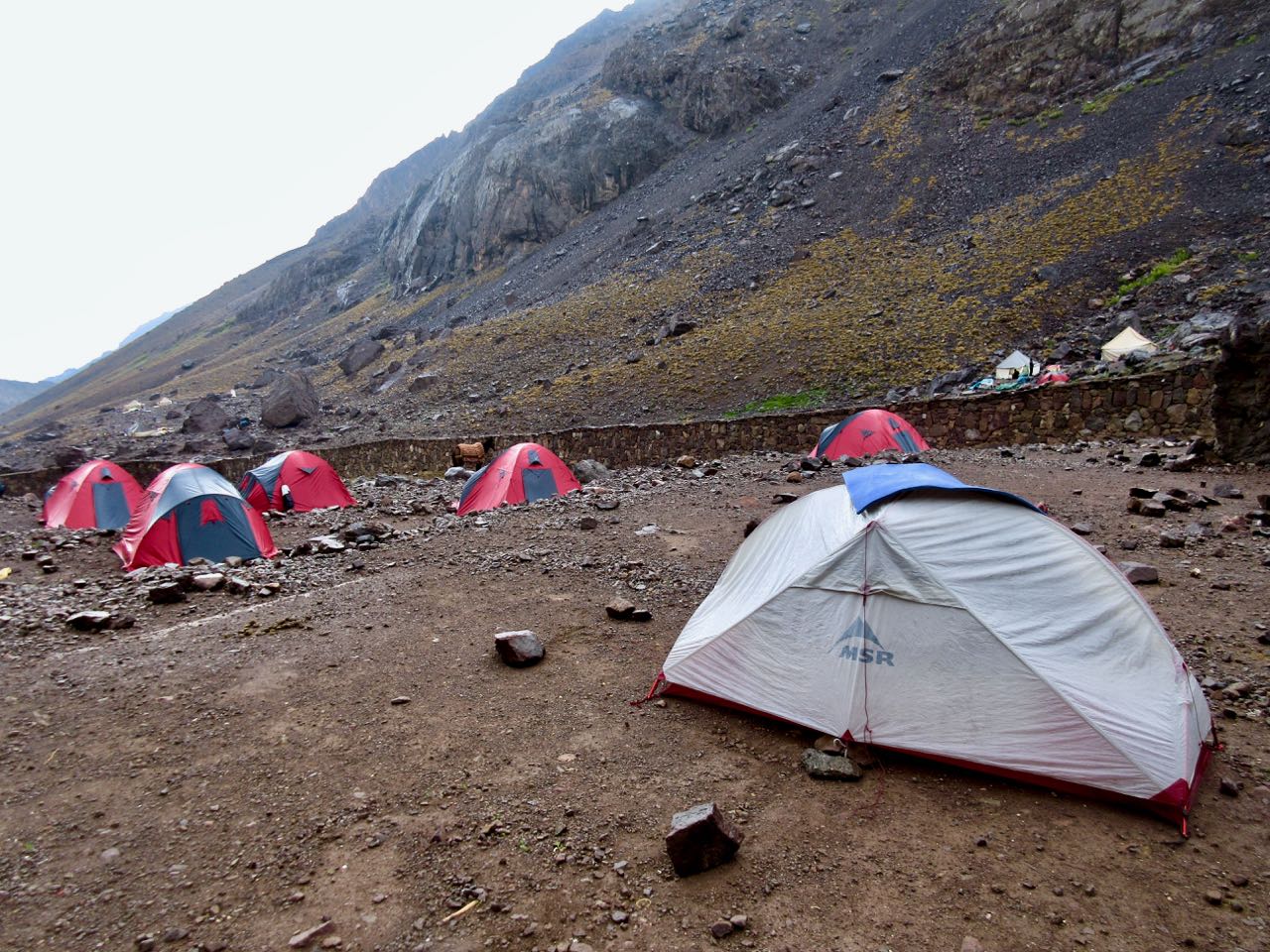
As it was raining too I decided to camp at Refuge Mouflon and sign up for the 7pm dinner. It was pretty good.

I charged my batteries in Mouflon after dinner and watched an episode of Better Call Saul on my phone as I waited. Then headed out into the rain to my tent.

day 1 | 2 | 3 | 4 | 5 | info | video
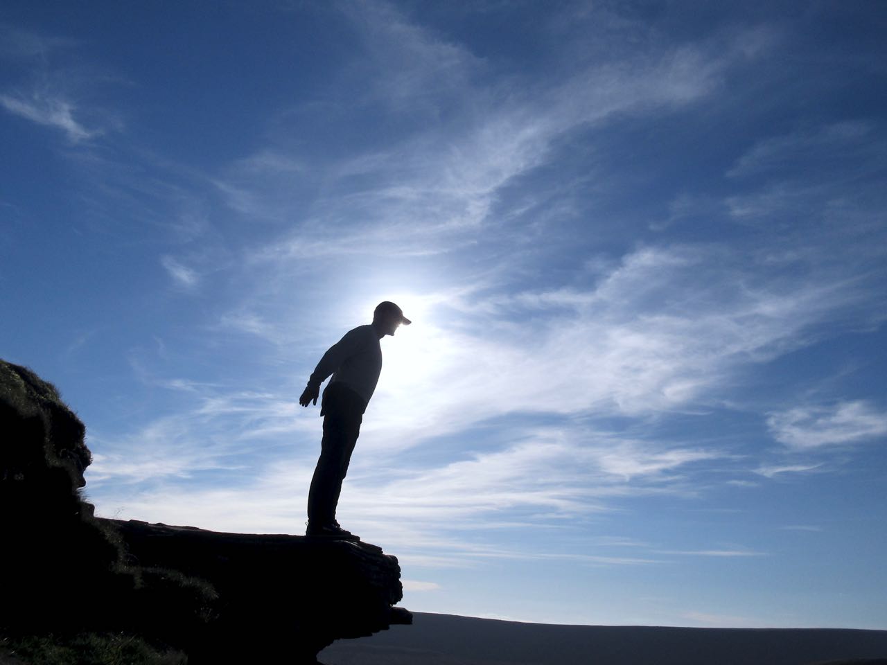
Morocco’s Toubkal Circuit – day 3

Trip report by BestHike editor Rick McCharles.

day 1 | 2 | 3 | 4 | 5 | info | video
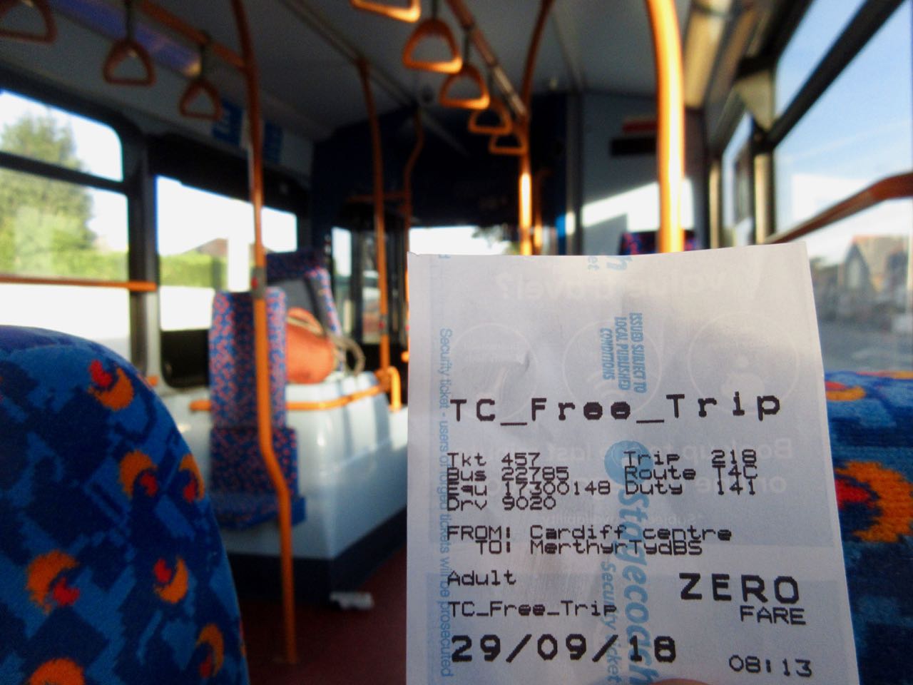
I had camped at a site called Azib Likemt with a guided German group.

They were up and gone long before I finished my coffee.

I followed the last of their horsemen up and over a low pass.

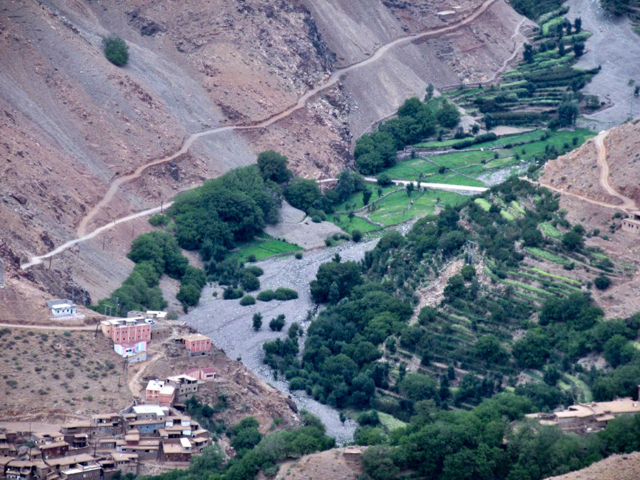
From the col you descend to the impressive Berber village of Amsouzert (1797m).

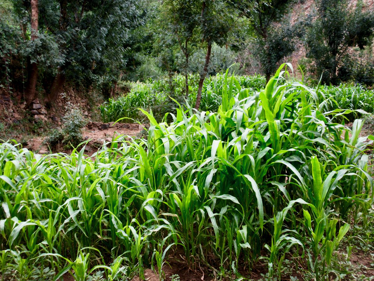
When water is available this mountain range is incredibly lush.

It’s a very interesting place. I could see staying overnight here.

Many homes had satellite dishes.

In fact, I later decided to recommend future hikers start at Amsouzert. It’s on the N10 highway connecting Marrakesh and Ouarzazate. A private taxi is the easiest way to get here.

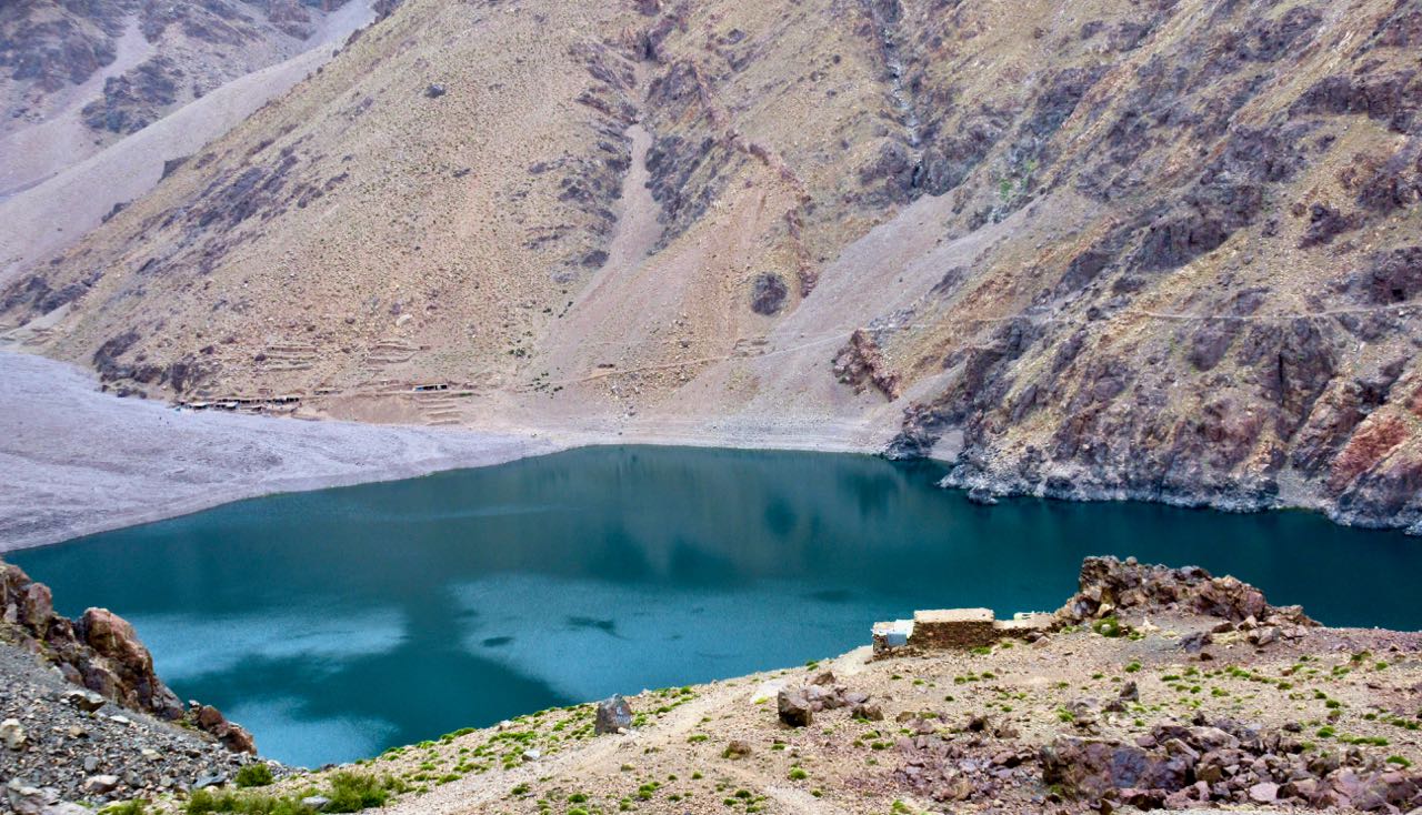
Not stopping at the many shops and restaurants, I continued up up up to famous Lac d’Ifni back in the National Park.

It’s incredibly rugged with the trail forced high above.

Here I debated whether to stop at the lake. Or continue up towards the gorge climb for the next day.

Pushy shopkeepers decided it for me. I don’t like being harassed while hiking.

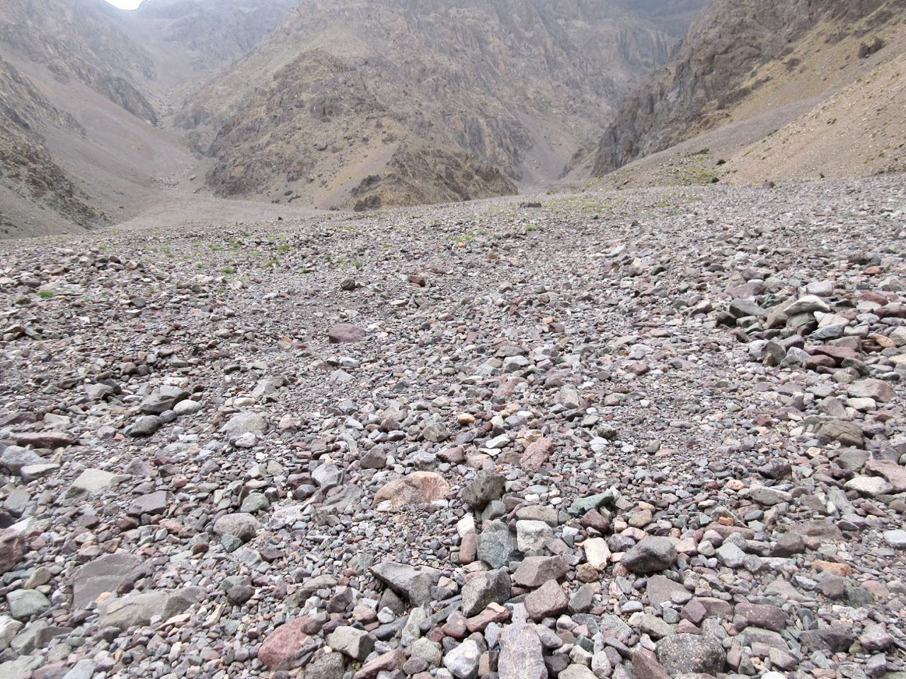
So it was out onto the massive spring flooding wash of stones.

Surprisingly, I couldn’t find any water until I reached camp.

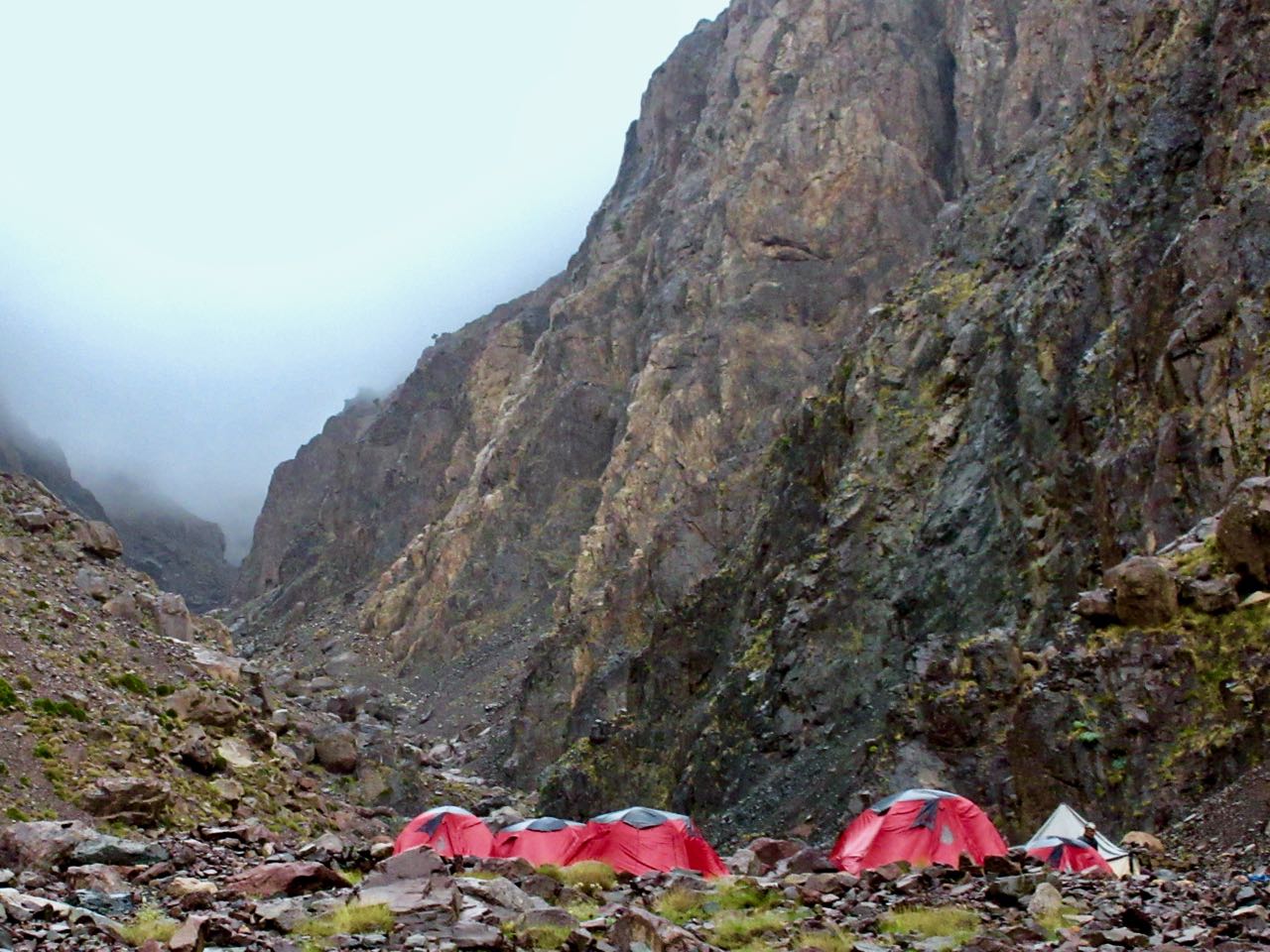
Once again I camped near a guided group, this one from Iceland.

I chose my tent site as safest from rockfall.

It was still fairly early in the evening so I did some wandering, mostly laughing at the goats and sheep coming down from the gorge for nightfall.

day 1 | 2 | 3 | 4 | 5 | info | video
Morocco’s Toubkal Circuit – day 2

Trip report by BestHike editor Rick McCharles.

day 1 | 2 | 3 | 4 | 5 | info | video
I woke at dawn. Shared a couple of cups of coffee with Aziz.

Then told him I might return if I couldn’t find the route.

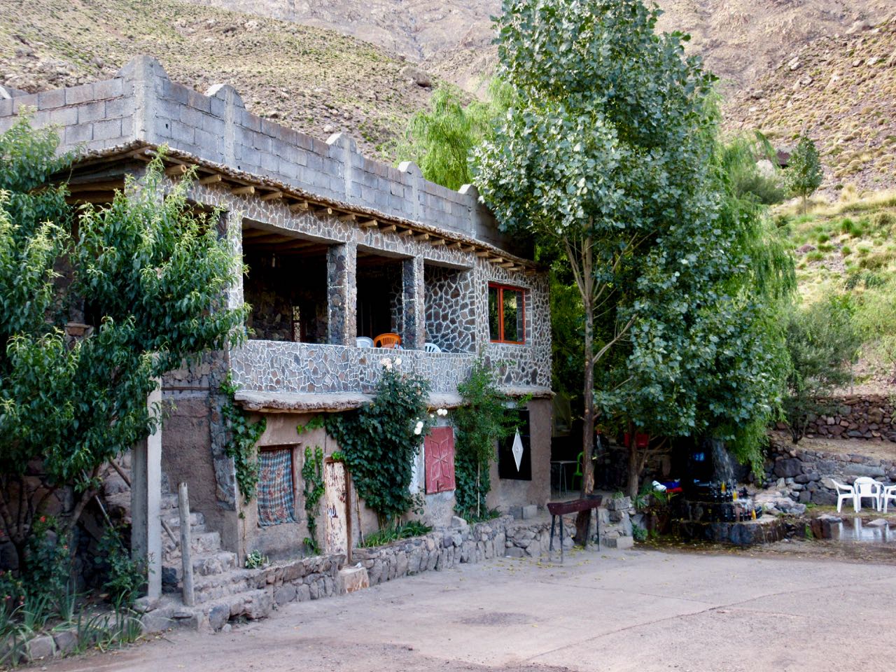
I climbed back up to the paved road surprised to find this hotel.

If I was to do the circuit again I’d hire a cab in Imlil to deliver me here on the paved road. Begin the hike next morning.

I still had no idea where to start the climb up to Tizi Likemt (3550m), the first high pass.

Happily I saw a brightly coloured people walking down the highway in my direction. It was an Israeli couple who had just finished the circuit the opposite direction.

Waiting on them was the smartest thing I did all week. They told me the entire circuit is available on Maps.me. I had downloaded it in advance. My navigation problems were solved.

Maps.me saves the day again.

I’m sure they thought I looked too energetic. Over-confident.

I was raring to go.

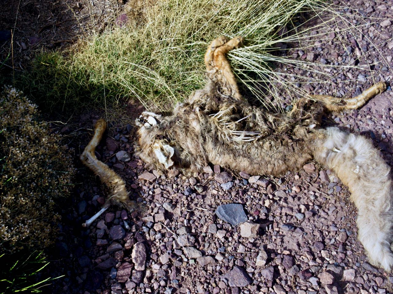
On the other hand, this poor carnivore might have been a bad omen.

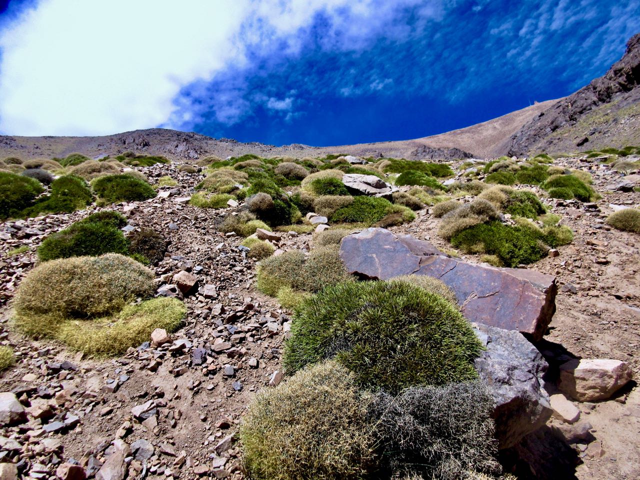
The climb was very long. And not all that thrilling.

Looking backward …

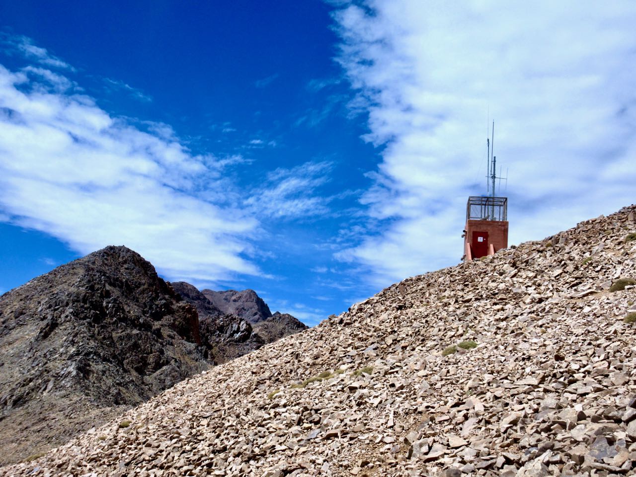
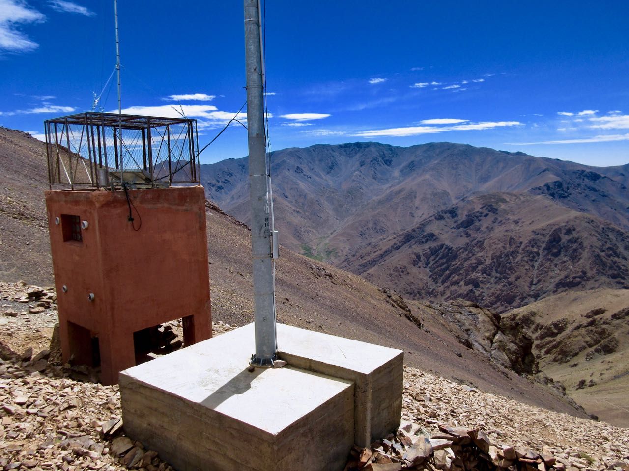
There’s a Japanese donated weather station at the pass, but you can’t see it from the side I climbed.

It was hot and sunny. No water.

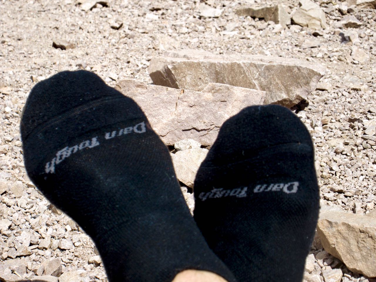
My Darn Toughs did all 5 days of the hiking. I switched to camp socks / shoes each evening.

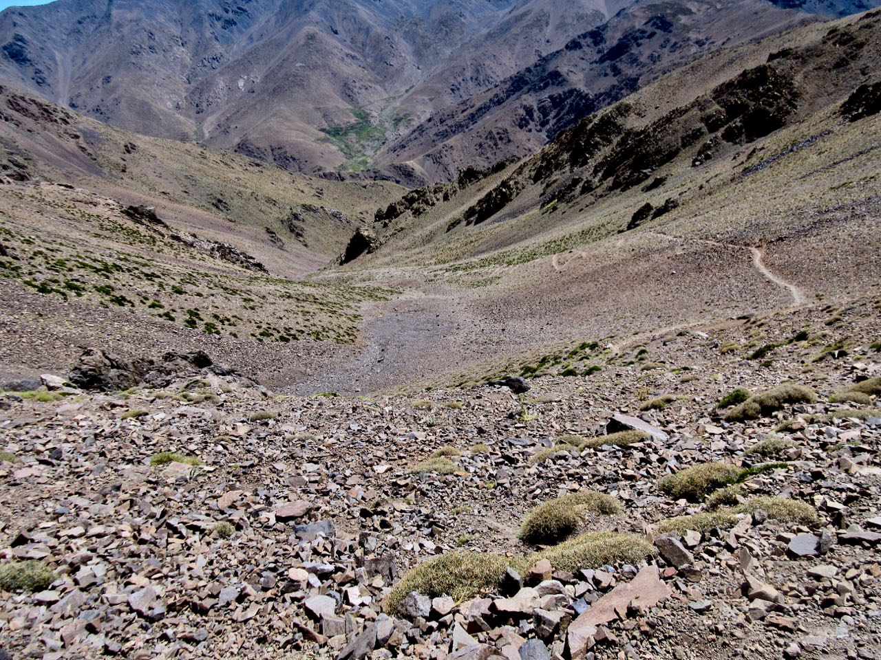
It was a long, hot descent as well.

In fact, a pass this high first day is stupid. That’s not smart acclimatization. On the way down I resolve to NOT recommend these first 2 days to future hikers.

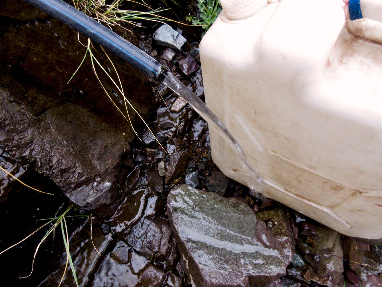
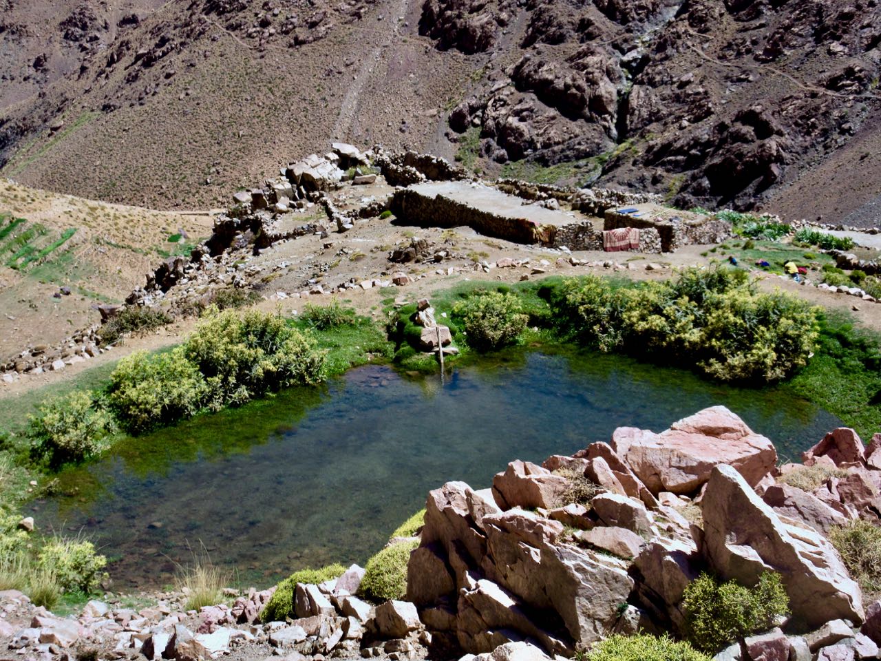
Here’s the first water I’d seen in hours. All water sources should be treated in these mountains unless you see it coming out of the mountain with your own eyes.

I was happy to reach the river. A German group had already claimed the best spot.

Further along I enjoyed a couple of pots of coffee.

This is a summer grazing settlement. Animals and their keepers will head down soon when snow threatens.

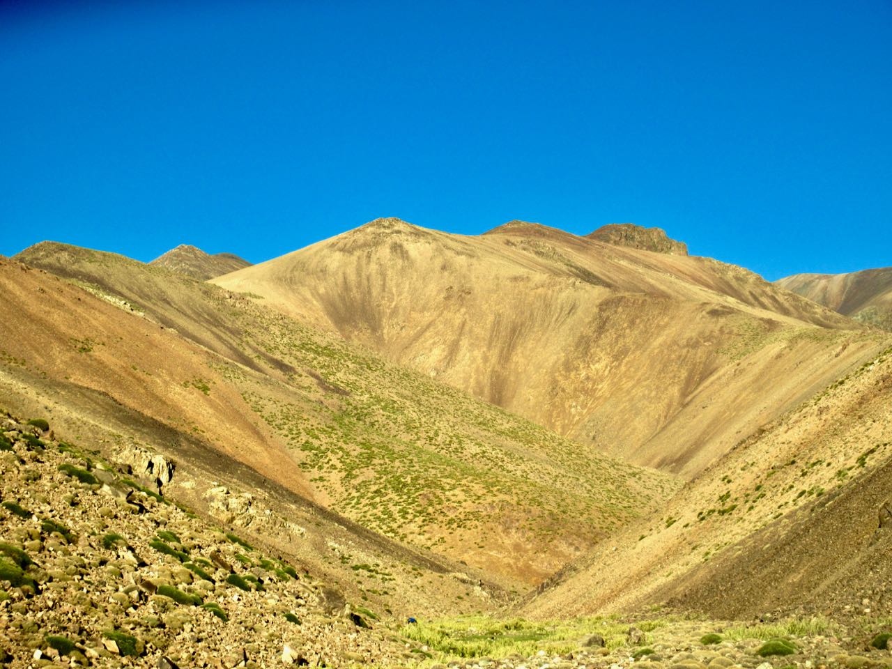
The next section climbing through a gorge was very entertaining. One of my favourite bits.

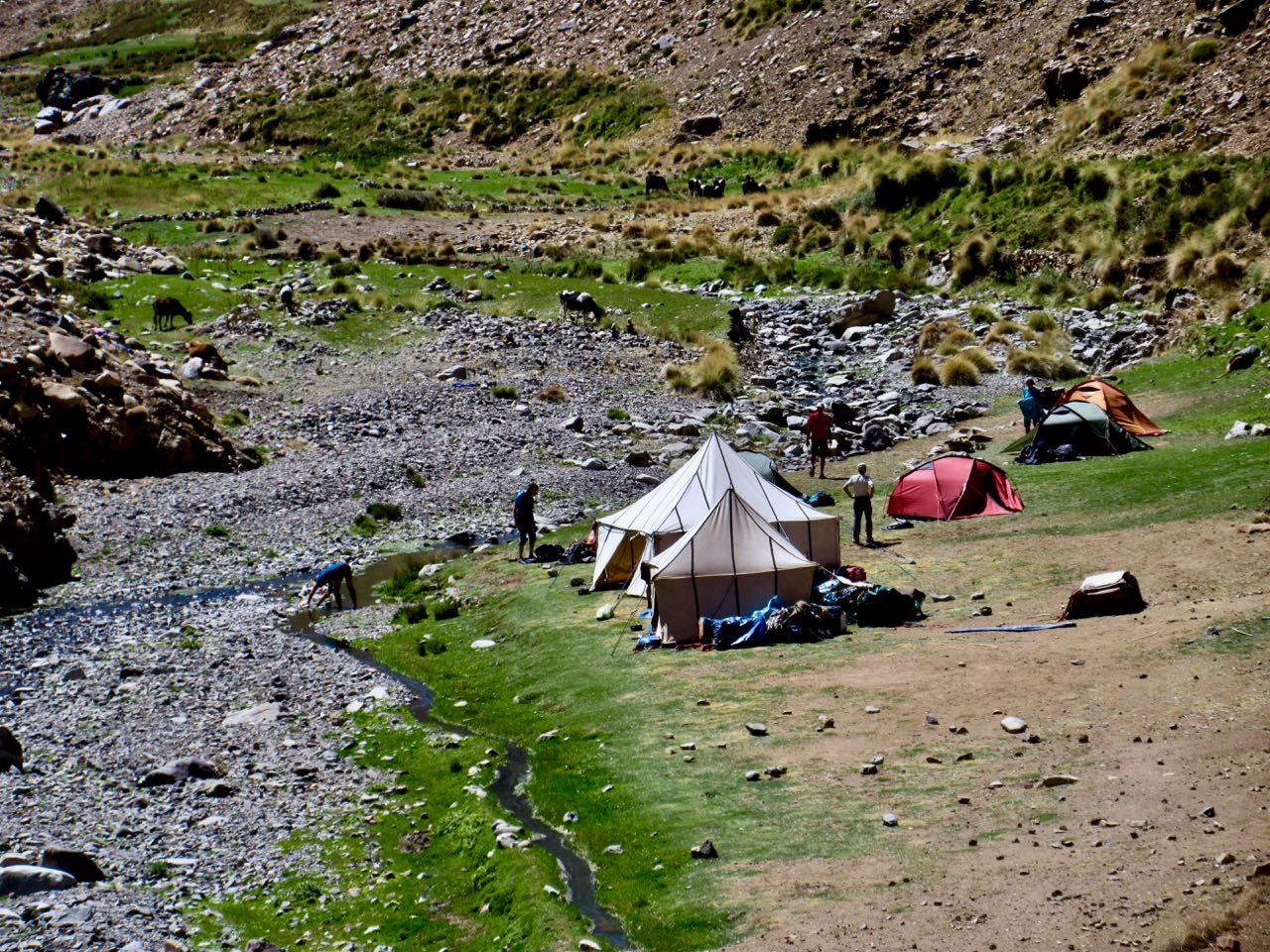
I finally camped at an open area on another creek near yet another guided hiking group.

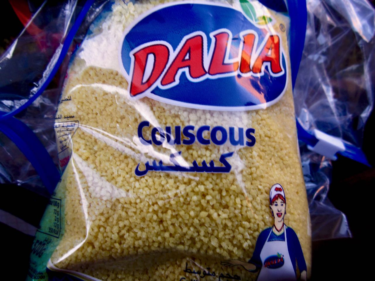
Dinner in the dark was coucous, soup, raisins and peanuts. For Morocco I switched from my usual instant mashed potatoes base to couscous.

day 1 | 2 | 3 | 4 | 5 | info | video 
Morocco’s Toubkal Circuit – day 1

Trip report by BestHike editor Rick McCharles.

day 1 | 2 | 3 | 4 | 5 | info | video
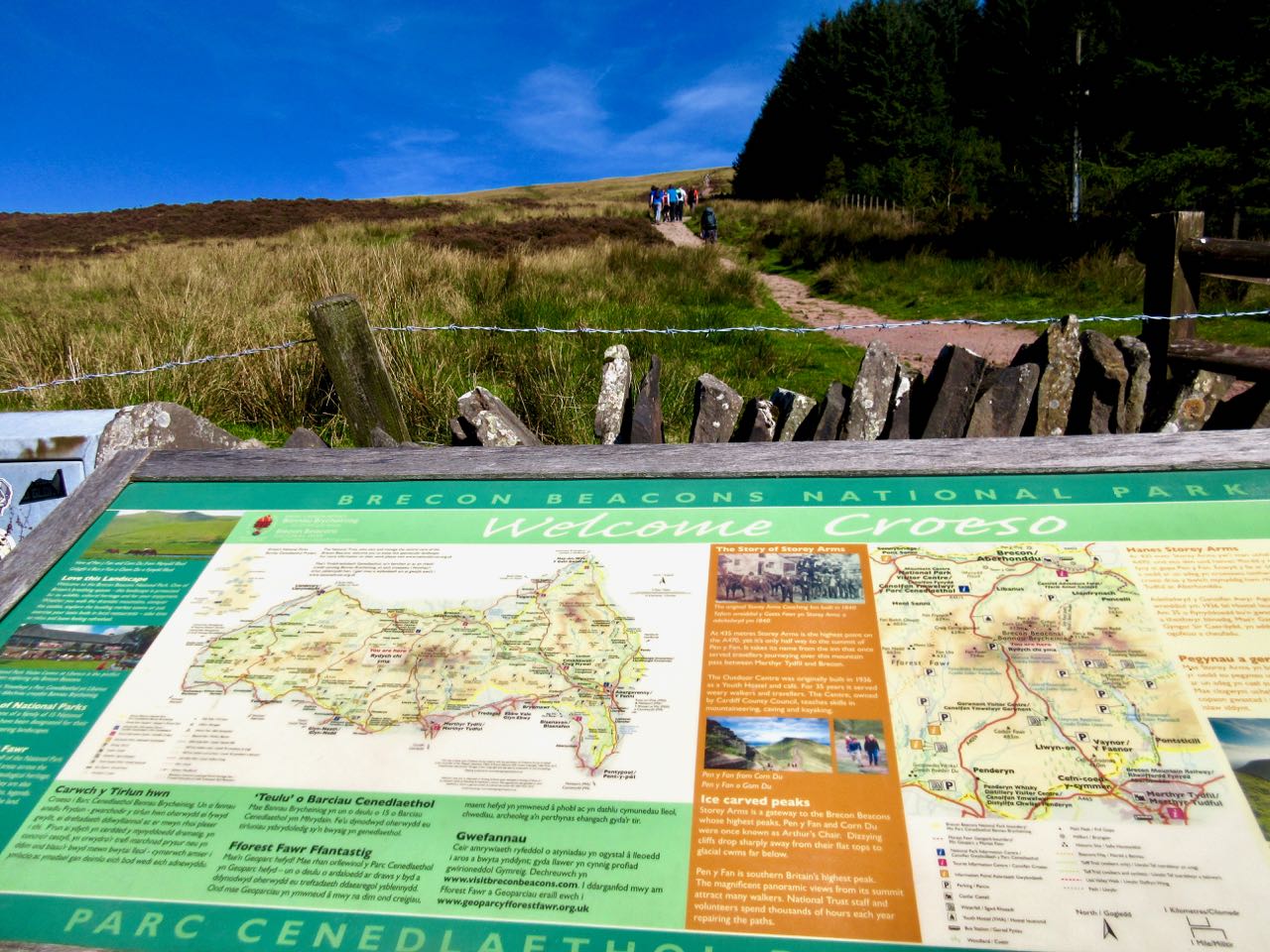
Toubkal is by far the most popular and important trekking destination in Morocco for serious hikers.

It’s easily accessible from Marrakesh.

Lonely Planet

Unhappily I couldn’t find either camping fuel nor english language hiking guidebook for Toubkal in Marrakesh.

Lonely Planet said there were good gear shops in the trailhead town of Imlil (1740m).

My hostel in Marrakesh told me where to find the shared cabs to Imlil. But that turned out to be my greatest navigational challenge. Shared taxis sprawl across several streets. A tout finally took me to the right one.

In 2018 locals paid 35 Dirham to get the 64km to Imlil. Foreigners 50 Dirham. ($5.40) Cost seemed to be non-negotiable.

Vans don’t leave until full … plus 3-5 more people.

It’s less than 2 hours from the hot city to the much cooler High Atlas mountains.

Imlil is an impressive and popular tourist town.

Unfortunately the best gear shop in town — Atlas Extreme — was closed when I arrive. For an hour? A day? A Week? None of the neighbours seemed to know.

I’d wanted this guidebook for the trip. But Trailblazer doesn’t sell a digital version. I needed a paper copy.

IMG_1063

I managed to get some used stove fuel and the map of the region instead at a tiny stall. The map ($10 plus) was fairly useless. It doesn’t show the circuit route. I did have the 5 page Lonely Planet description on my phone. And I did have little maps like this.

Toubkal circuit

Not wanting to wait around, I got off on to the “trail” as quickly as possible.

departing Imlil

It was a hot, sunny day. I saw very few water sources.

Why was I walking on a paved road?

Only one stretch took me off-road and up through a village.

These mountains are massive.

I looked forwards to getting away from the heat.

On this excellent road I saw very few vehicles. A lot of sheep.

I walked up this valley past Berber villages Talate n’Chaoute, Tamguist and Ouaneskra.

Many locals ran out to greet me urging I stay in their homes or camp in their yards. I was unimpressed by most explaining that I planned to hike until 7pm.

Finally I passed a young man with a Canada cap. Stopping to chat with that group I met a guesthouse manager named Aziz. I liked him instantly. Everyone who passed by had a friendly word with him. Popular and charismatic.

I decided to “comp” at Gite Entre Les Vallees. Aziz was surprised I didn’t want instead to sleep in any of the 13 empty beds he had inside.

His location is ideal. A new bridge is being built across the river right next door. Soon he’ll have all the traffic.

Before dinner I went for a walk on the other side of the valley to try to see my route for the next day. It looked intimidating.

I still had no idea which of those passes was the one I’d need to cross.

I did meet some French hikers who’d come up with a rent-a-car to climb a peak on this side of the valley. Acclimatization. It was over 3000m.

The first time I went to take a photo of a Berber woman in the fields she called up to me NO PHOTOS. I respected that injunction for the rest of the trip.

day 1 | 2 | 3 | 4 | 5 | info | video
Ladakhi Women’s Travel Company

This Women-Run Guide Service is Changing Himalayan Trekking in India

Back in 2009, Thinlas Chorol set up the Ladakhi Women’s Travel Company, which has the distinction of being Ladakh’s first travel company completely owned and operated by women. It is also known for promoting ecotourism. …
… With the encouragement she received at SECMOL (Students Education and Culture Movement of Ladakh, an organization that helps educate children from remote regions of Ladakh) and the support of her American English teacher, Thinlas went on to gain some commendable professional expertise.

She attended a mountaineering course at the Nehru Institute of Mountaineering (Uttarkashi) and spent a semester at the National Outdoor Leadership School (NOLS) in Ranikhet, Uttarakhand, where she picked up wilderness and leadership skills. …

Since then, many Ladakhi women have approached her to train them as trekking guides and, today, the company has 8 guides, 4 trainees and 20 employees in all. …

Ladakh’s First and Only All-Women Travel Company and the Woman Who Started it All

Ladakhi Womens Travel Co

official website – ladakhiwomenstravel.com

new app – Trekking in Nepal

If interested download both the app and checkout the web page:

HoneyguideApps.com

The app offers offline support for both guided and independent trekkers.


Guest post by Ashish Shrestha:

Phuraphuti Sherpa runs the homely Namaste Lodge at Monjo, one of the many small villages that trekkers pass through on their way to Everest Base Camp.

The number of trekkers is close to fifty thousand per year, but only a handful know the fact that Phuraputi also runs a small kitchen garden and serves organic vegetables to her guests.

As she says, “I run a small lodge but I make sure every trekkers leave happily when they go. I even grow my own vegetables and serve organic food. I hope that now even small lodges like mine get equal opportunity to be noticed!

In traditional dress for the photo.

She is one of the 80 lodges in the Everest Region that has signed up for HoneyGuide, an online community that connects mountain lovers with people who depend on the mountains for their livelihood.

The inspiration behind HoneyGuide is to:

  1. Make sure that porters, guides, and lodges get paid equitably and get business transparently.
  2. Make sure that trekkers get enough options and information to run a trek the way they see fit: from going independent without any bookings to a fully guided trek.

To these ends, HoneyGuide is:

  1. A Trek Planning Tool with:
    1. Comprehensive and Up to date information on Everest Base Camp Trek
    2. Complete Checklist for planning a trek in Nepal
    3. Health and Safety Advice for Trekking in Nepal
  2. A Trek Booking Tool with:
    1. Transparent Trek Booking starting with minimum services and options to add on extra services. See Gokyo Lakes and Gokyo Ri Trek.
    2. Capacity to Book Flights, Lodges, and Guides separately. Email addresses and Phone Numbers are also available to aid communication.
    3. Reviews and Ratings to ensure that lodges, and guides get business not based on kickbacks, but hard work and good service.
  3. A Trek Companion that:
    1. Introduces you to the Attractions, Mountains, Birds, Flowers, and Cultural Sightings of the villages you will pass through. See Namche for example.
    2. Breakdown of what you can expect on each Day of your trek. For example see Day 8 of the Everest Base Camp Trek.
    3. Provides all of the above in an offline Mobile App “Trekking in Nepal”. Here are the download links for Android and iOS devices.

(The iOS app is not free right now. Contact Dakshina with the Referral Code BestHike, and we will send you a promo code for iOS devices.)

Everest View from Kala Pathar. PC: Tenzing Hillary Everest Marathon.

Author Information.

Ashish Shrestha from Kathmandu grew up surrounded by lofty peaks and early developed a love for mountains. He’s a co-founder of the project 

The HoneyGuide Team.


Harder Ridge, Switzerland – best day hike on Earth?

Trip report by BestHike editor Rick McCharles.

  • dangerous
  • 10 hours
  • at least 18km on sharply defined ridge
  • should absolutely never be attempted when wet
  • plenty of exposure on both sides
  • frequent scrambling required
  • Brienz to Interlaken with rail assistance getting up to and descending from the ridge

Don’t hike the other direction. Logistics are easier starting in Brienz. And it’s safer as the last 2 hours (when your legs are tired) is on easier trails. 

I got up early in Interlaken, ready for my free hostel breakfast starting 7am.

Every half hour a train runs from Interlaken to Brienz for 8.20 francs (2018).

Happily I made the first steam train 8:36am — from Brienz to Brienzer Rothorn Station. It’s been making this run since 1891.

Price is reduced to 28 francs for the first train (2018) to encourage folks to get as early a start as possible on their hike.

At 9km / hour it takes an hour to get to the top of the ridge 2351m.

If clear, you can enjoy distant views over to Jungfrau highest peaks; the Eiger, Mönch, Jungfrau, Schreckhorn, Finsteraarhorn.

I climbed up to the viewpoint. This is as far as most tourists hike.

Looking down on Brienzer Rothorn Station.

At 10am I started to walk back to Interlaken. I would have about 11.5 hours to make the last teleferico down from Harder Kulm Restaurant. Otherwise I’d have to walk down in the dark.

You can’t really get lost. Follow the ridge no matter what.

The weather was perfect.

You have Brienz lake on one side …

… and Swiss foothills on the other.

I loved it instantly.

Most of the time the ridge is not all that intimidating.

It often looks worse than it turns out to be.

I’d heard everyone who comes up here sees ibex. … Are these ibex?

This adventure is more popular with trail runners than with hikers as they can easily make it in less than 10 hours.

I took very few breaks. Other than checking the GPS on my phone, I had no idea whether I was moving quickly enough to finish in time.

Each time I’d climb a high point on the ridge, even higher points would come into view.

I don’t think I saw another person over the first 5 hours.

Sadly I seemed to be a lot closer to Brienz than Interlaken.

There are sections with stairs, cable and chain assistance. These would be most useful when down climbing in wet conditions.

Hmm … I might finally be past half way.

I tried to quicken my pace on the easiest sections.

There are many more day hikers on the Interlaken end of the ridge. They assured me I’d make it on time.

Interlaken

The last 2 hours stays on the ridge, but you are mostly in the trees. It was the least interesting section … but I was pleased to have less exposure as my legs got tired.

Here it is at last. Harder Kulm Restaurant.

The last funicular descends at 9:10pm. If it’s busy they may run until 9:40pm.

I gladly paid 16 francs and found the short trip down very interesting.

It was dark by the time we arrived Interlaken.

And I was quite dehydrated. I’d brought only 1.5 litres with me. I could have used about 3 litres.

When I got back to the hostel I announced it was the best day hike of my life.

Click PLAY or see if I look happy on YouTube.

Norway’s Lofoten Islands – hike Fløya & Devil’s Gate

Trip report by BestHike editor Rick McCharles.

My last hike in Norway was terrific.

The evening before my 6:30am ferry departing Lofoten Islands I did the famous hike out of Svolvær, the fast ferry port.

From the wharf it’s about a half hour walk to the trailhead.

I hid my pack where I wanted to tent and started up the steep scramble. For a change the most difficult part is right at the bottom.

There’s chain and rope assistance at some points.

The muddiest sections have new boardwalk. That helped.

As much as possible I stayed on stone.

Pretty views all the way up.

From below I saw people scrambling the ridge.

I ended up climbing to the top of Fløya first. An amazing vista down over the town of Svolvær and Vestfjorden.

Down below is the famous climbing spire called the Goat. (Svolvaergeita)

To get to Djevelporten (Devil’s Gate) I had to descend quite far and climb back up again.

Late in the evening I had it to myself.

Click PLAY or watch it on YouTube.

In no rush I descended back to my tent stopping often to enjoy my final hiking vistas of gorgeous Lofoten.