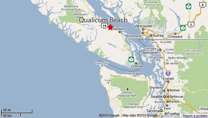
It’s a charming retirement community — median age of 65.9 in 2016 — in one of Canada’s best winter climates.
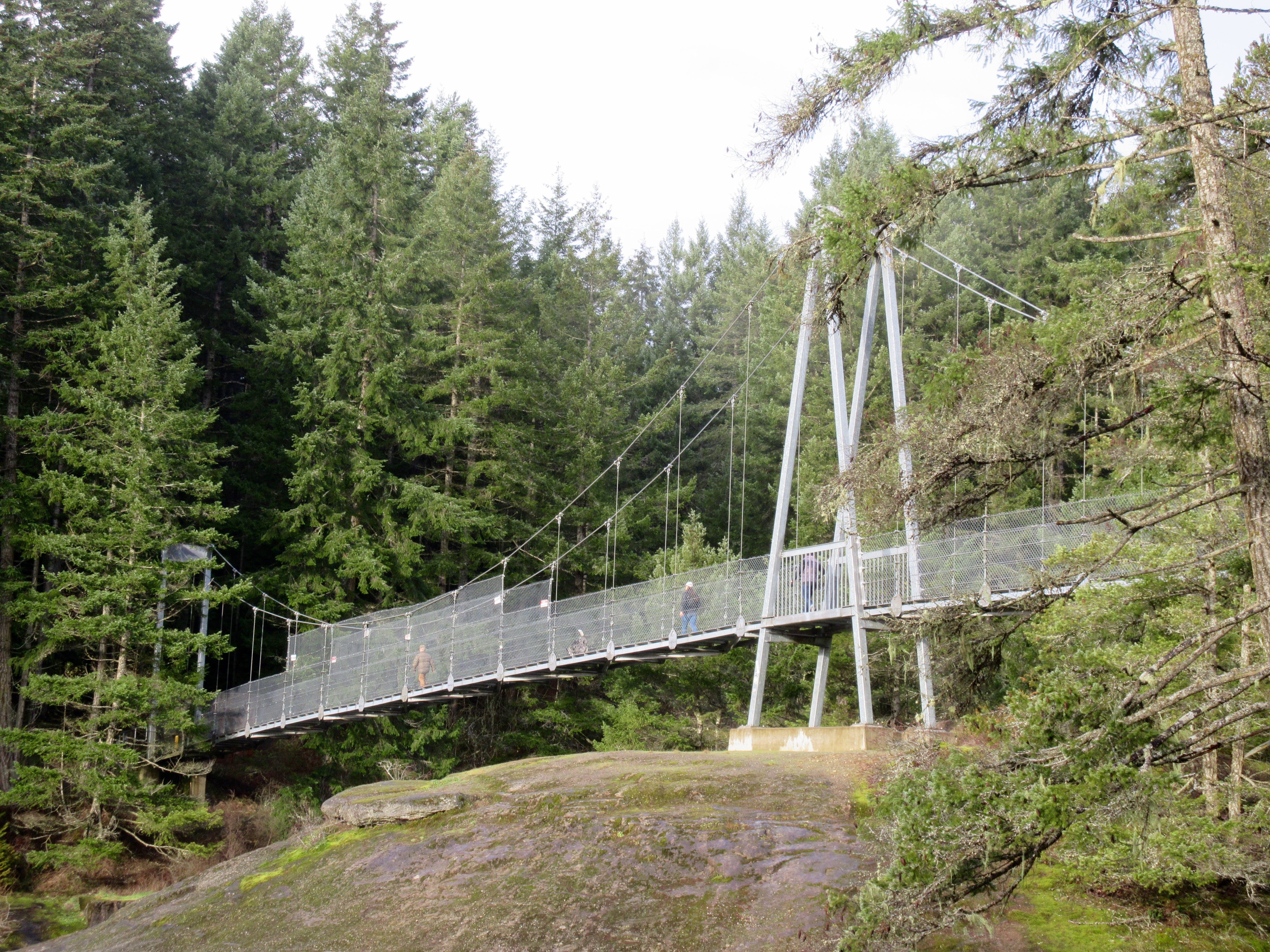
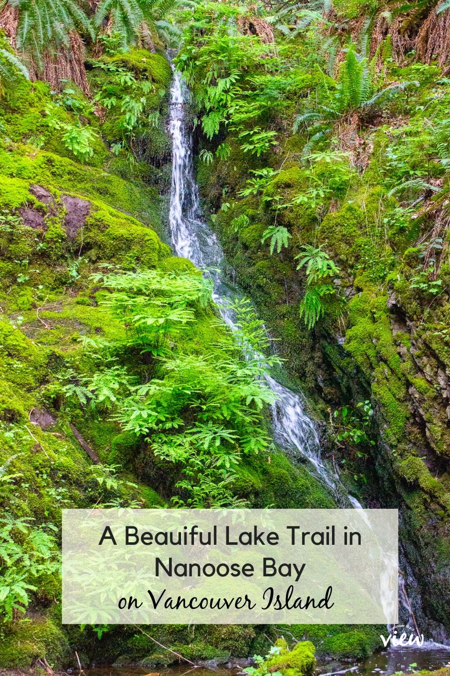
Temperate rain forest is ideal for hiking, cycling or running year round. One highlight of Qualicum are the 400 year old Douglas Fir in their Heritage Forest.
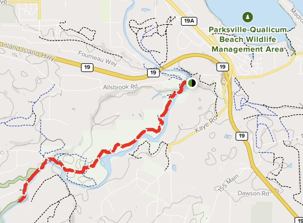
But you don’t need follow the AllTrails 10.5km out and back route.
It’s a network of mountain biking / walking trails on the west side of the Englishman River. You can’t really get lost so long as you parallel the water.
I spend a lot of time here as I have family in Parksville.
This is temperate rain forest. It can be wet. It can be muddy.
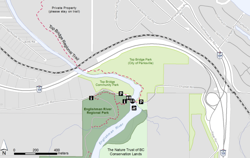
Most people park at the Top Bridge trailhead (green dot) close to highway 19 at Parksville. Head inland along the river for as far as they wish. Then backtrack.
I started on the far left of the map below at Middlegate Road trailhead. Walked to Top Bridge Park close to the highway. About 5km one way plus many side trips.
I often, as well, head the other direction, under the highway towards Parksville on the 5km Top Bridge Regional Trail.
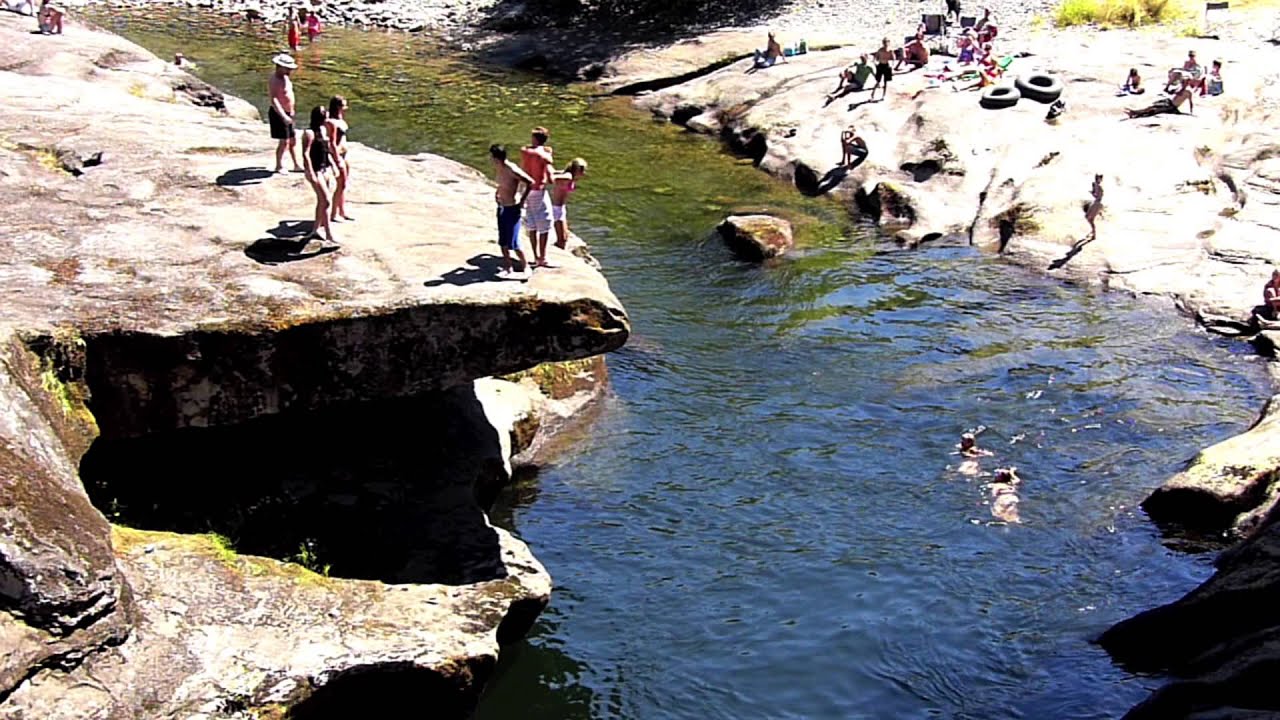
In good weather, the bridge near the parking areas is a popular swimming spot.
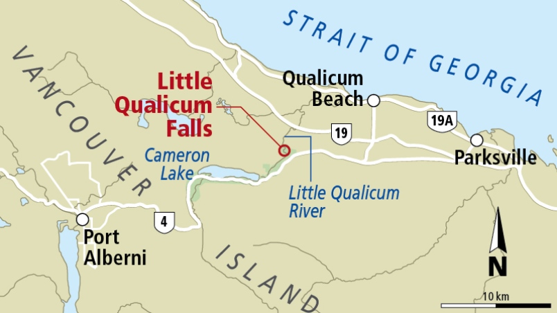
Little Qualicum Falls Provincial Park, established 1940 to protect the old growth forest, offers a terrific 1 hour hike if you are driving between Nanaimo and Port Alberni.
There are plenty of other nearby attractions including Cathedral Grove.
Swimming is possible in good weather. But know that people have drowned here.