Trip report by BestHike editor Rick McCharles
Click PLAY or get a glimpse on YouTube.
I traveled by train to Dresden and cycled to Saxon Switzerland National Park mainly inspired by the chance to hike Bastei Bridge.
And it’s awesome. 😀

First ➙ let’s clear up the confusion.
Saxon Switzerland National Park is in eastern Germany.
Saxon, Switzerland is a village of about 7000 in Switzerland.
Yeesh. 😀
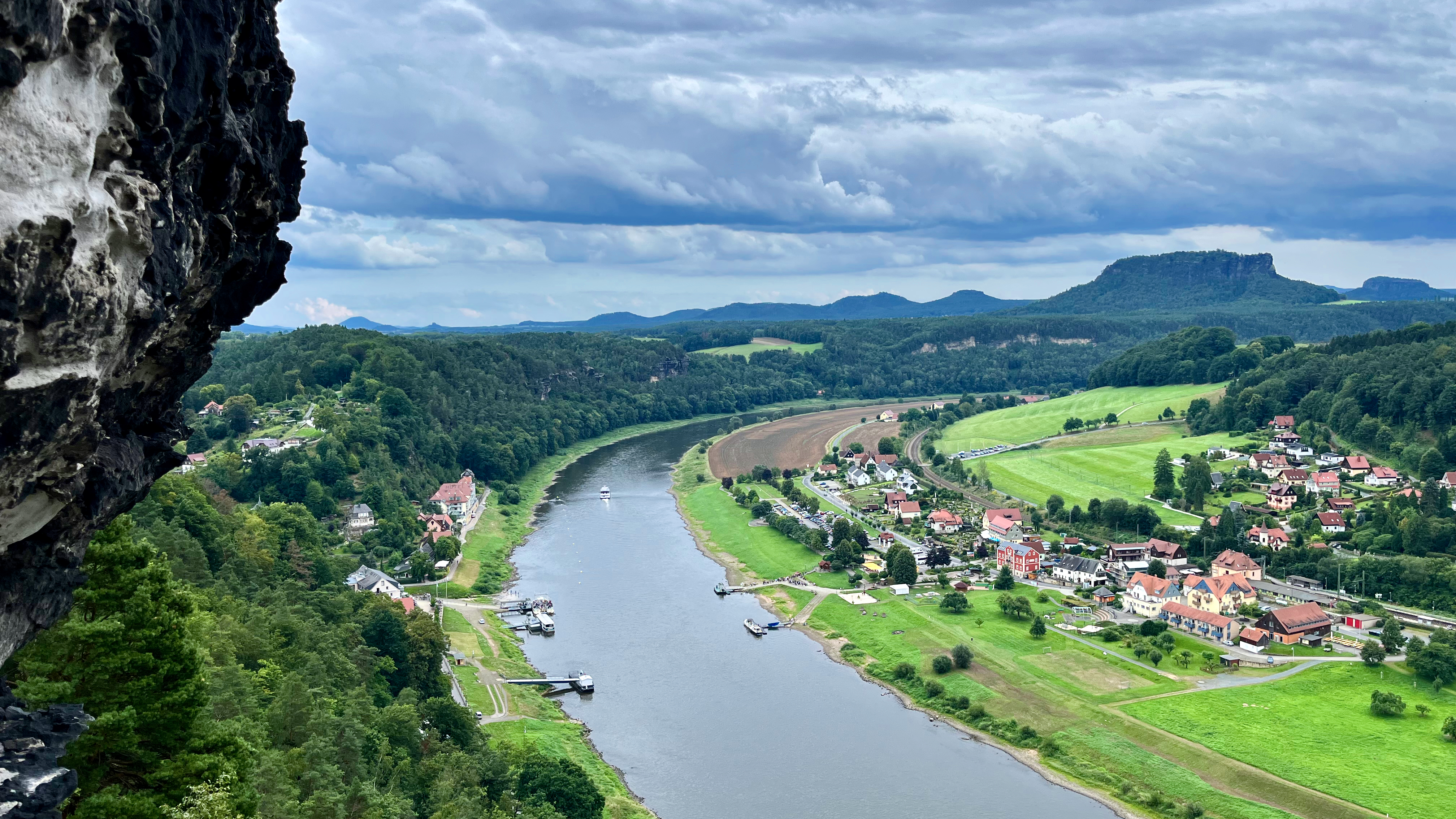
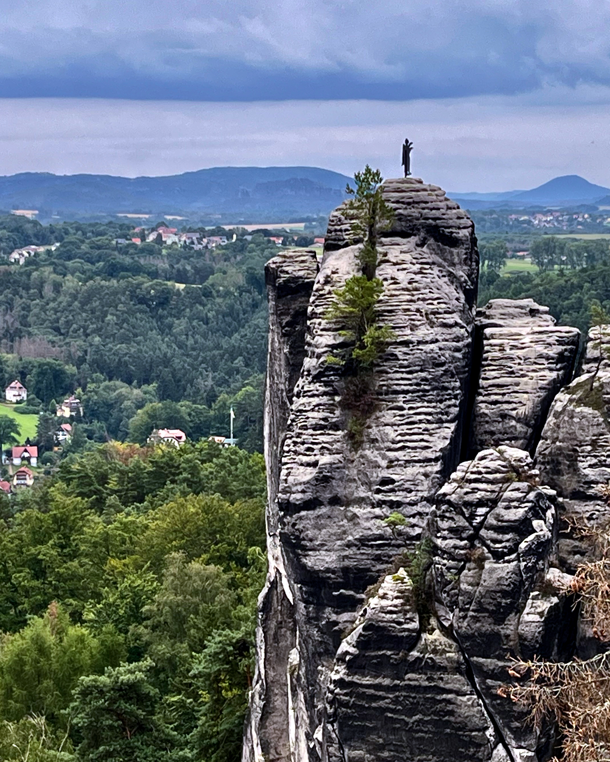
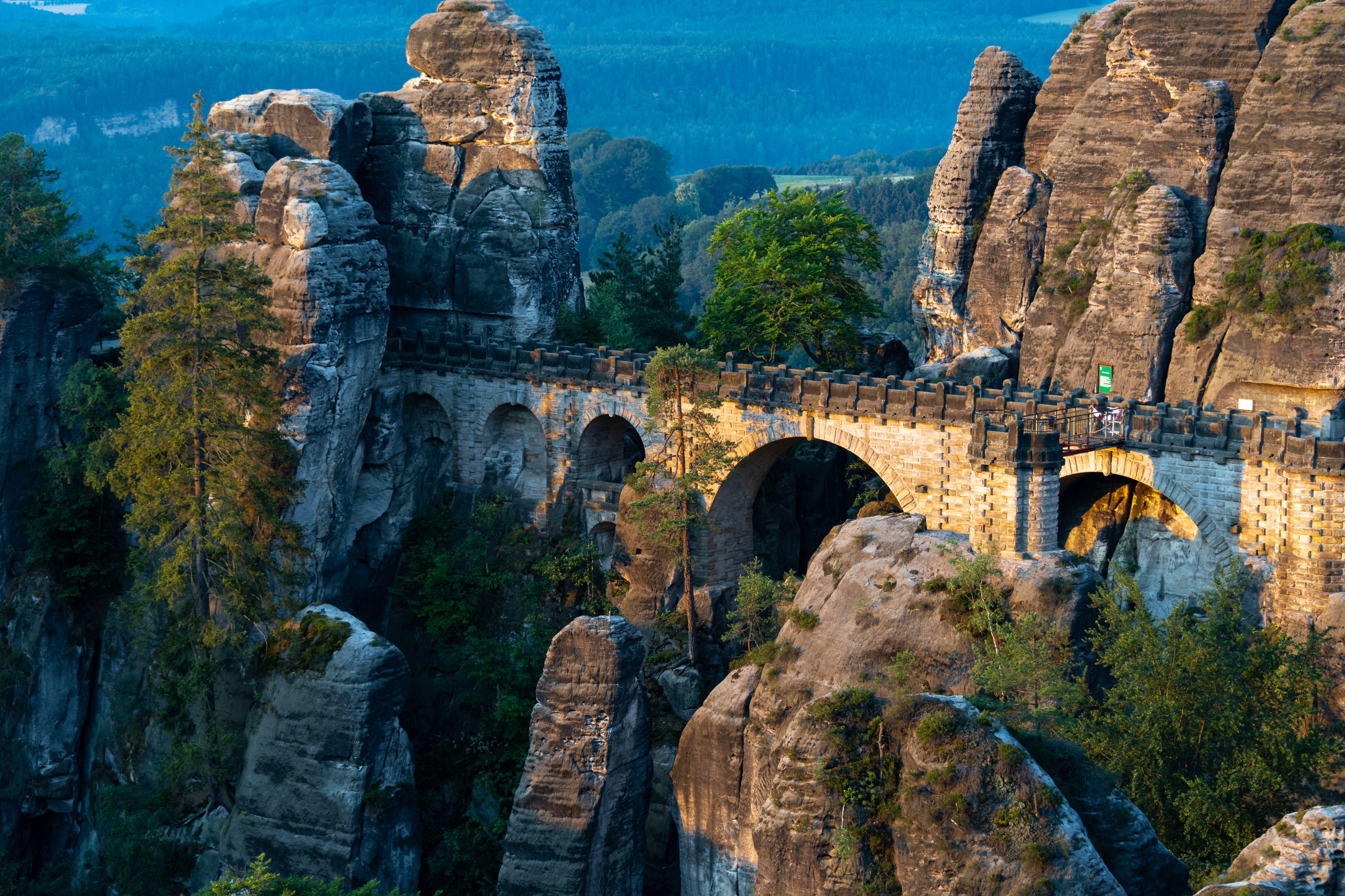
The Bastei is a rock formation rising 194 metres (636 ft) above the Elbe River …
… situated near Rathen …
The Bastei (“bastion”) has been a tourist attraction for over 200 years. In 1824, a wooden bridge was constructed to link several rocks for the visitors. This bridge was replaced in 1851 by the present Bastei Bridge made of sandstone. …
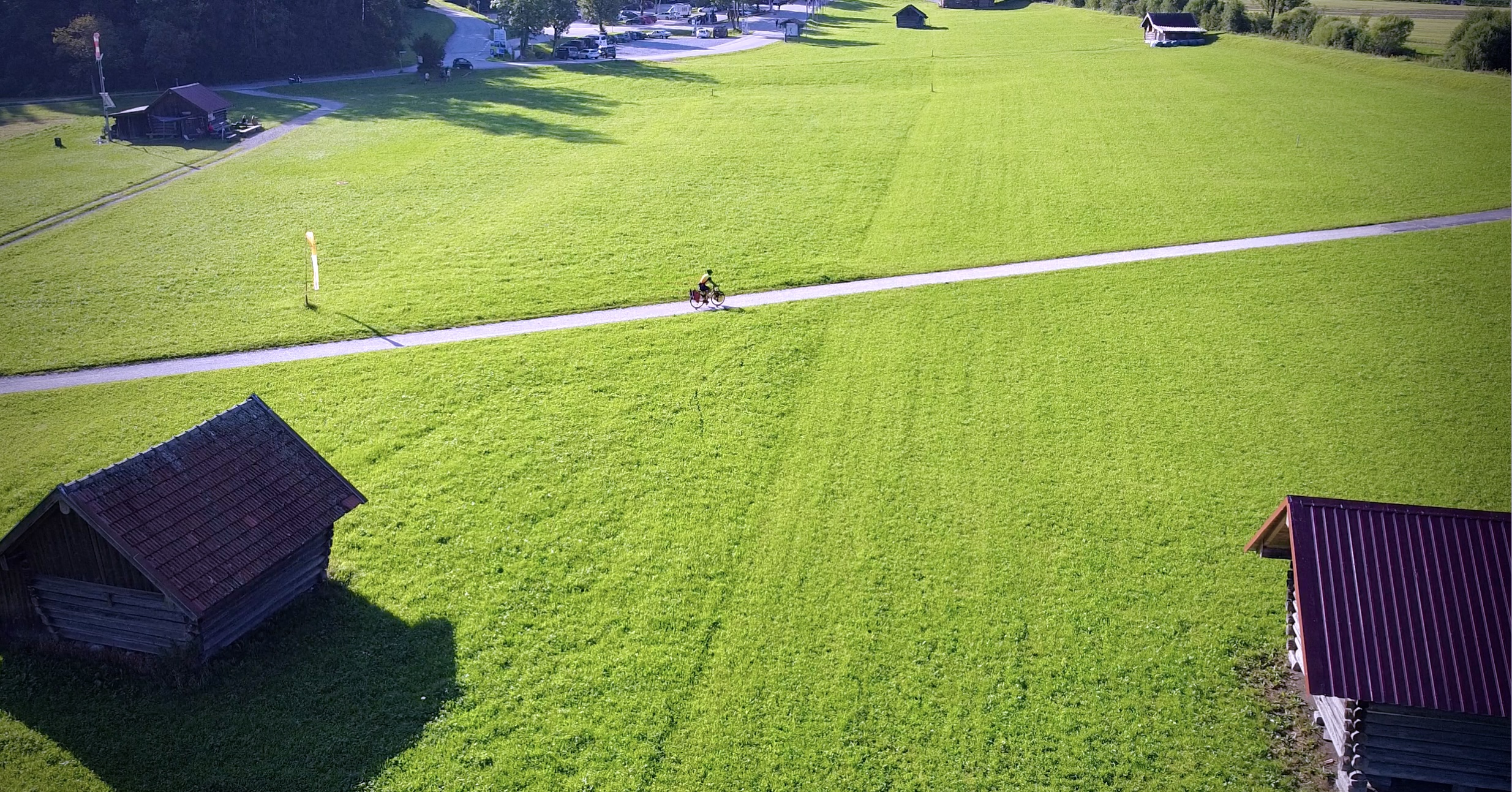
I took the train one way to Rathen. Cycled the other.
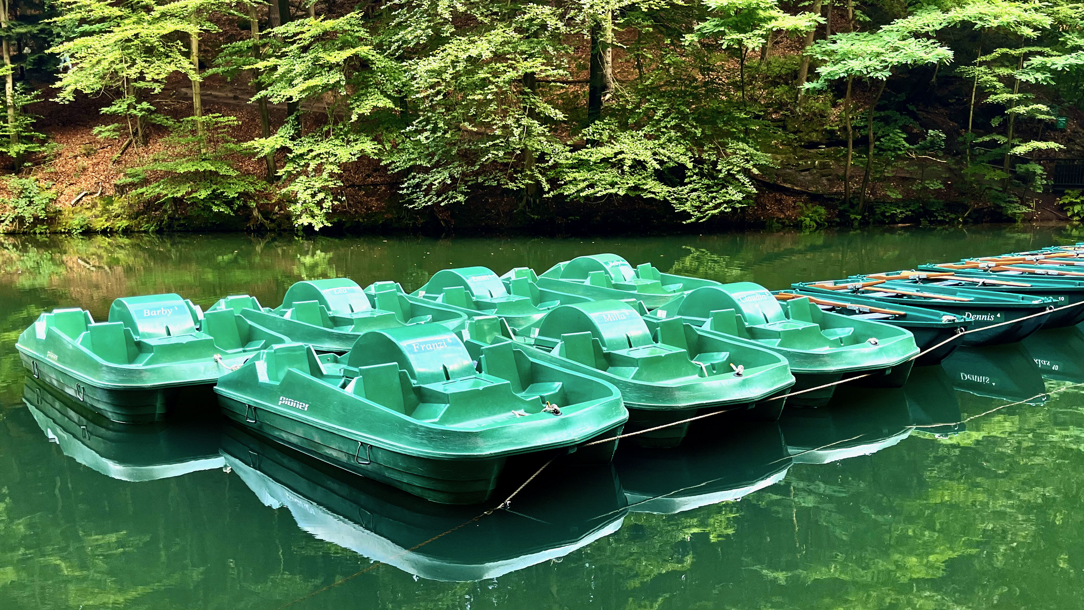
Camped at the very convenient hostel.
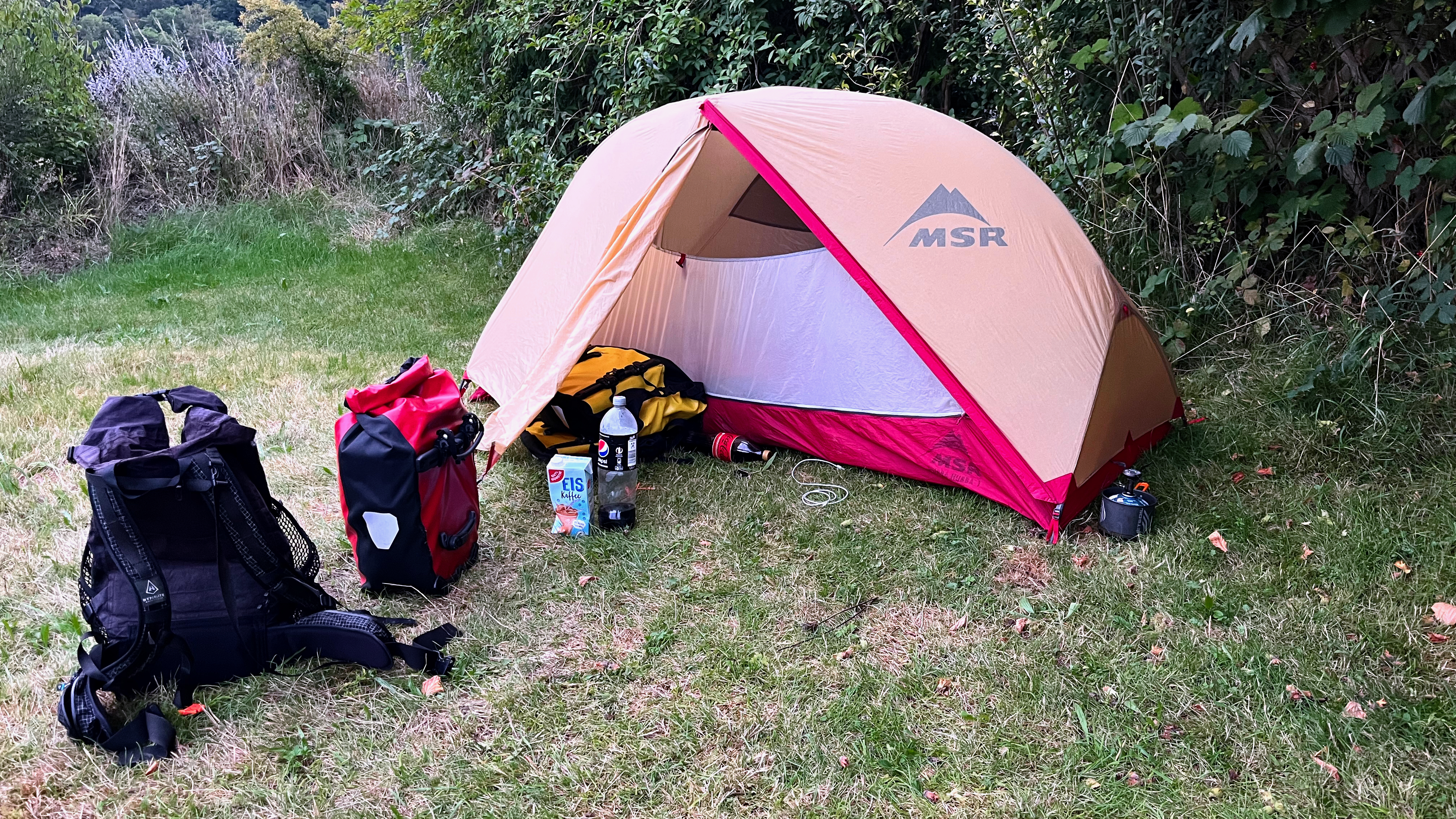
My tent is my home away from home. Protection from the elements.
You take a short ferry across the river to reach the Bastei trailheads.
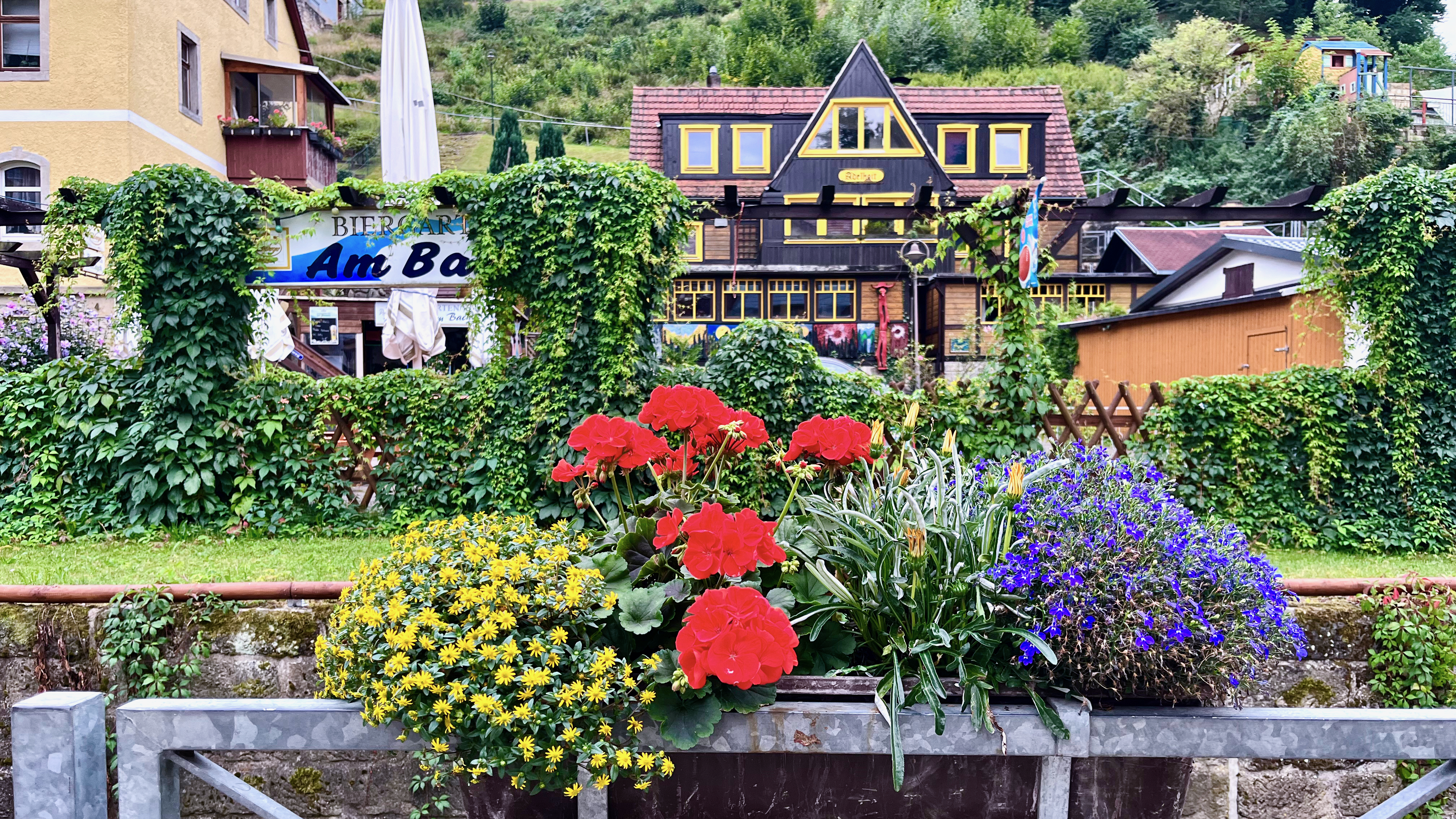
I do love the German country homes. Many are spectacularly colourful and well maintained.
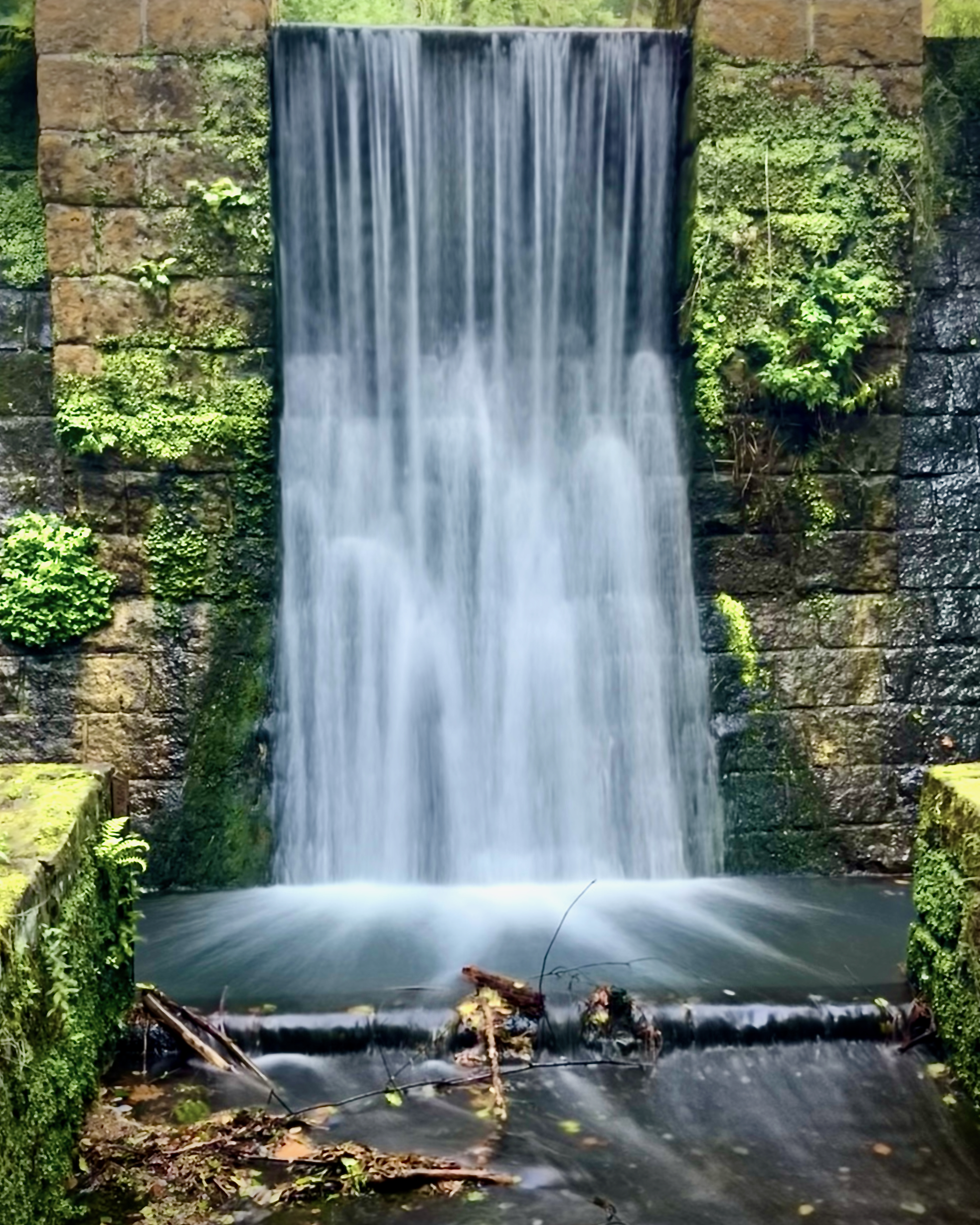
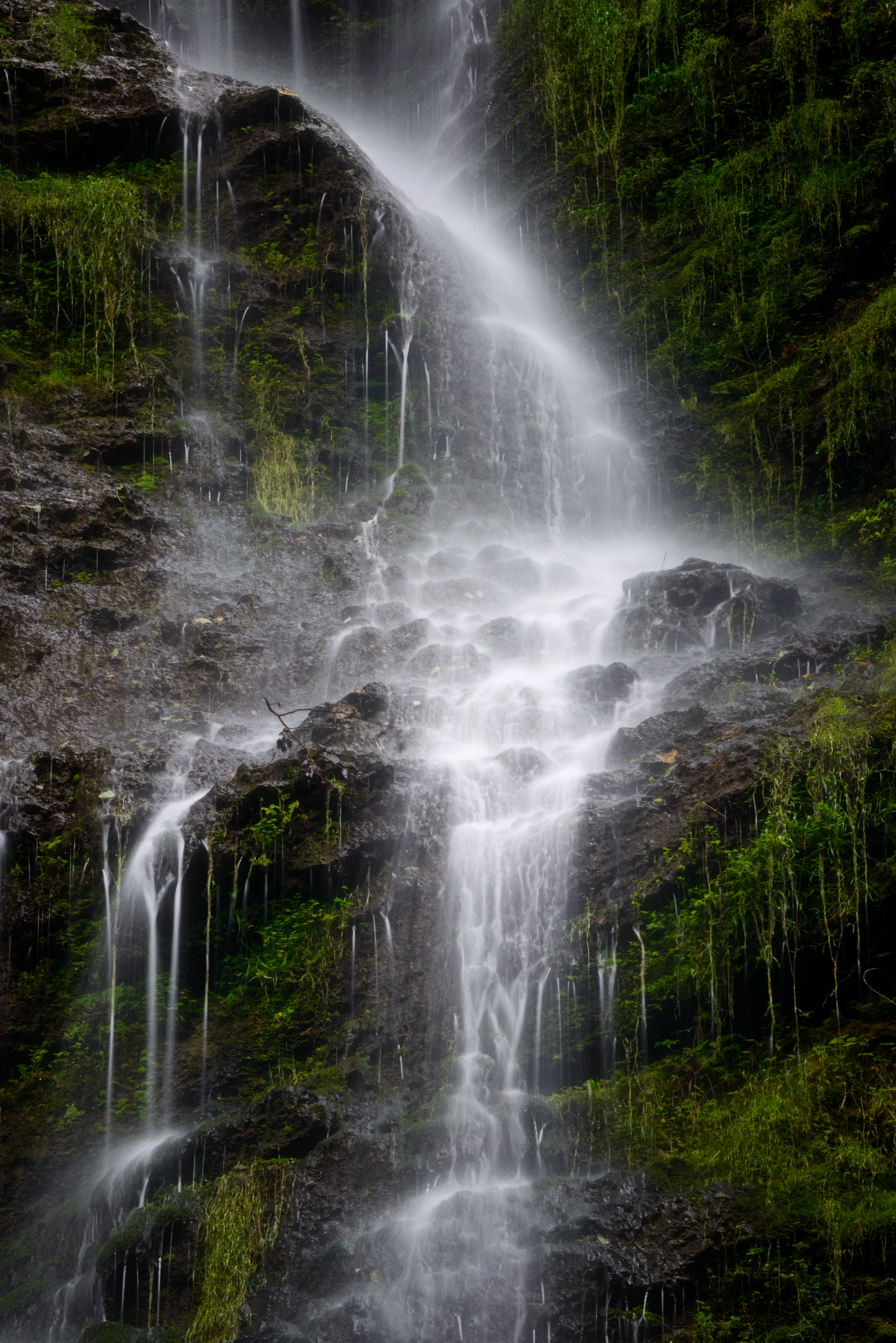
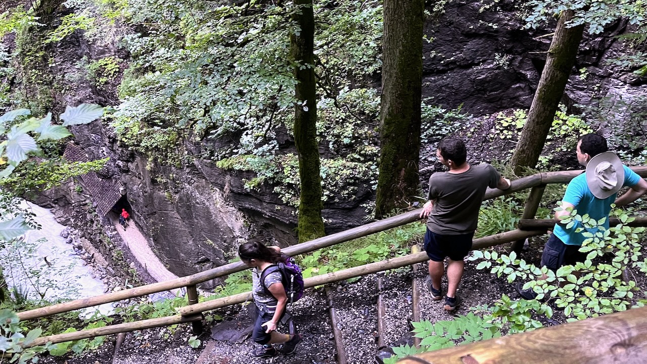
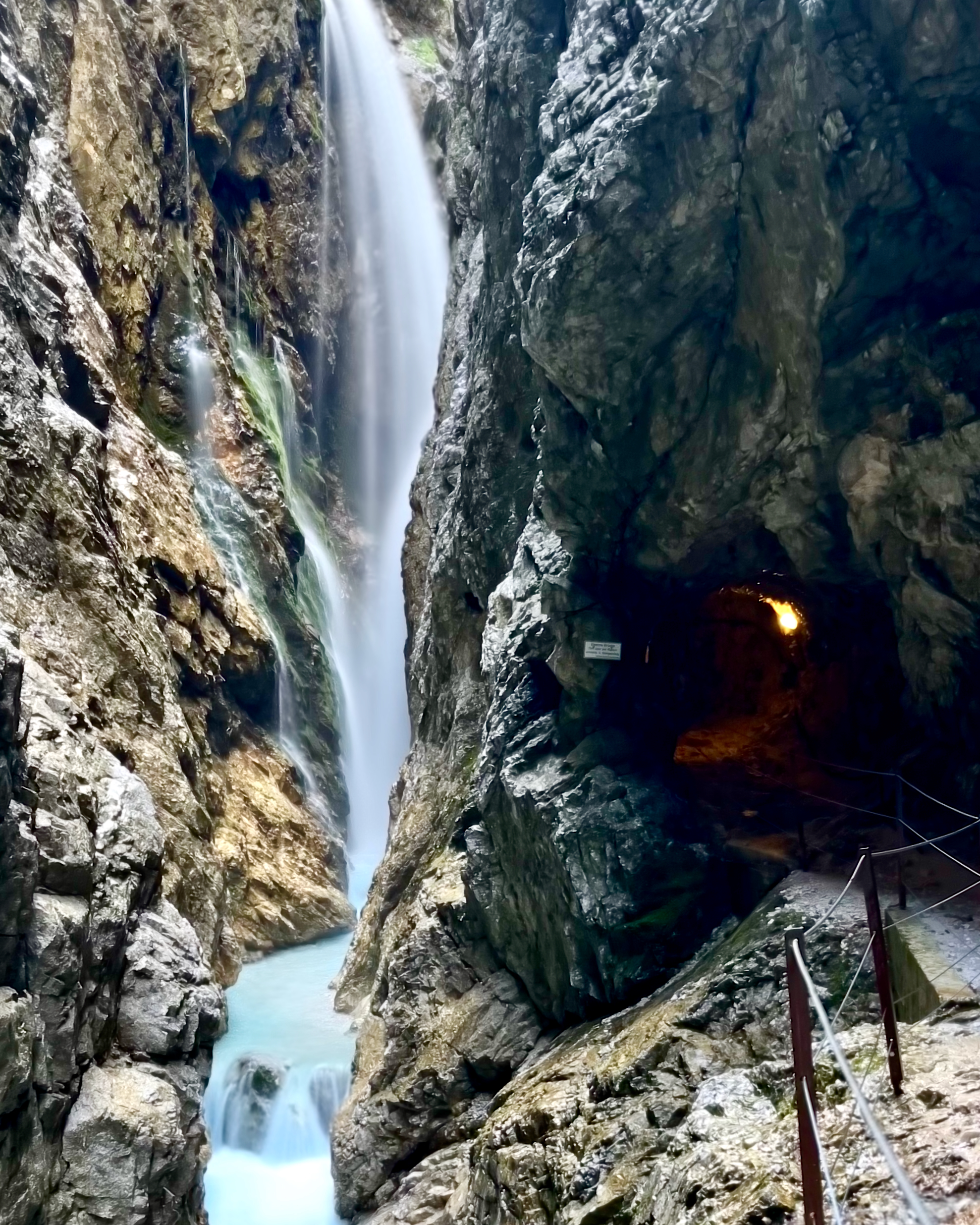
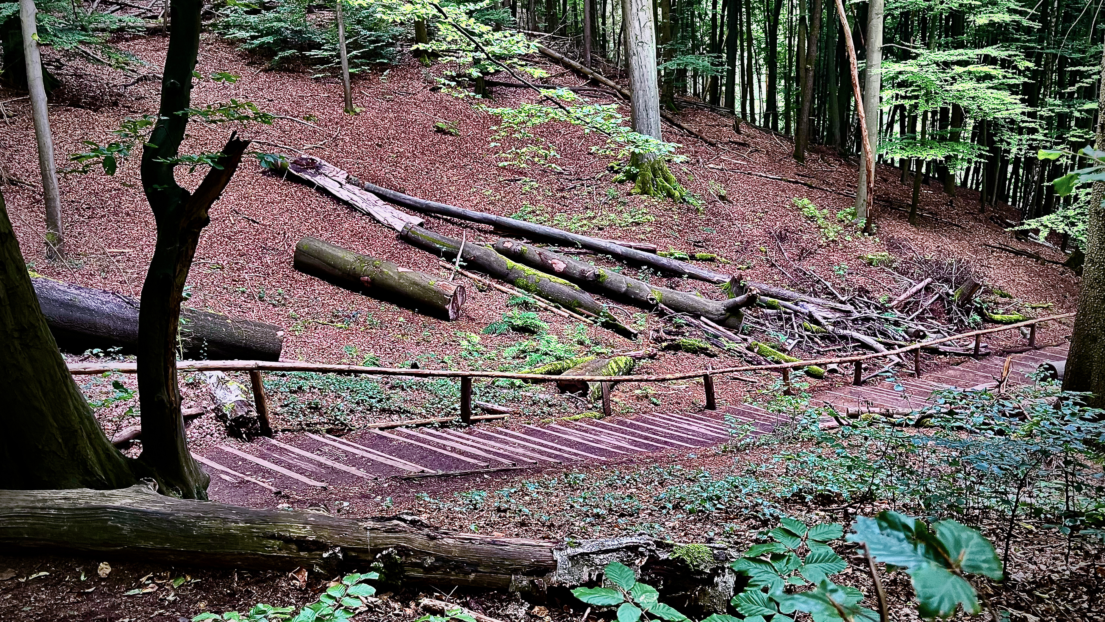
There’s a scenic walk along waterways …
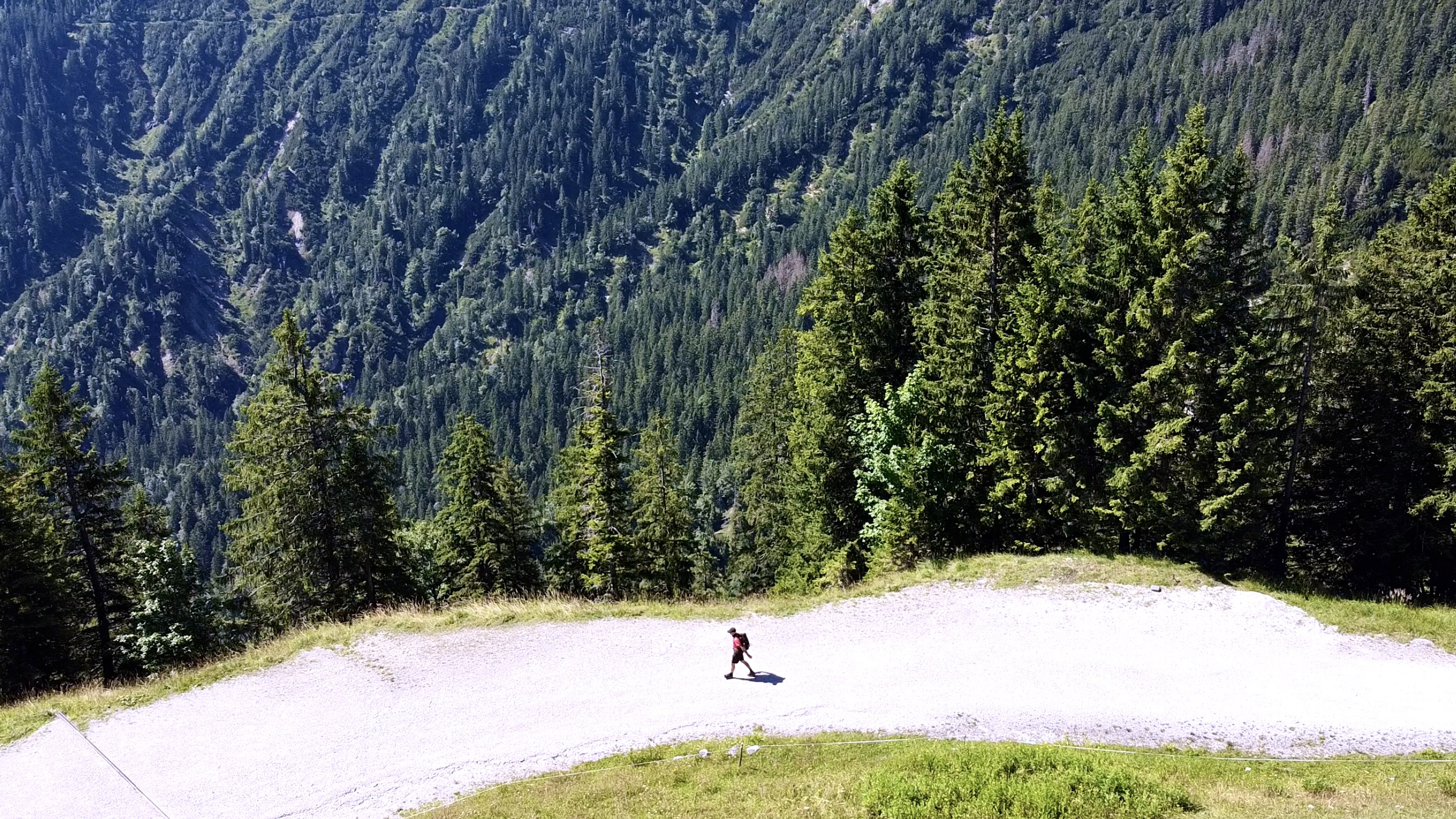
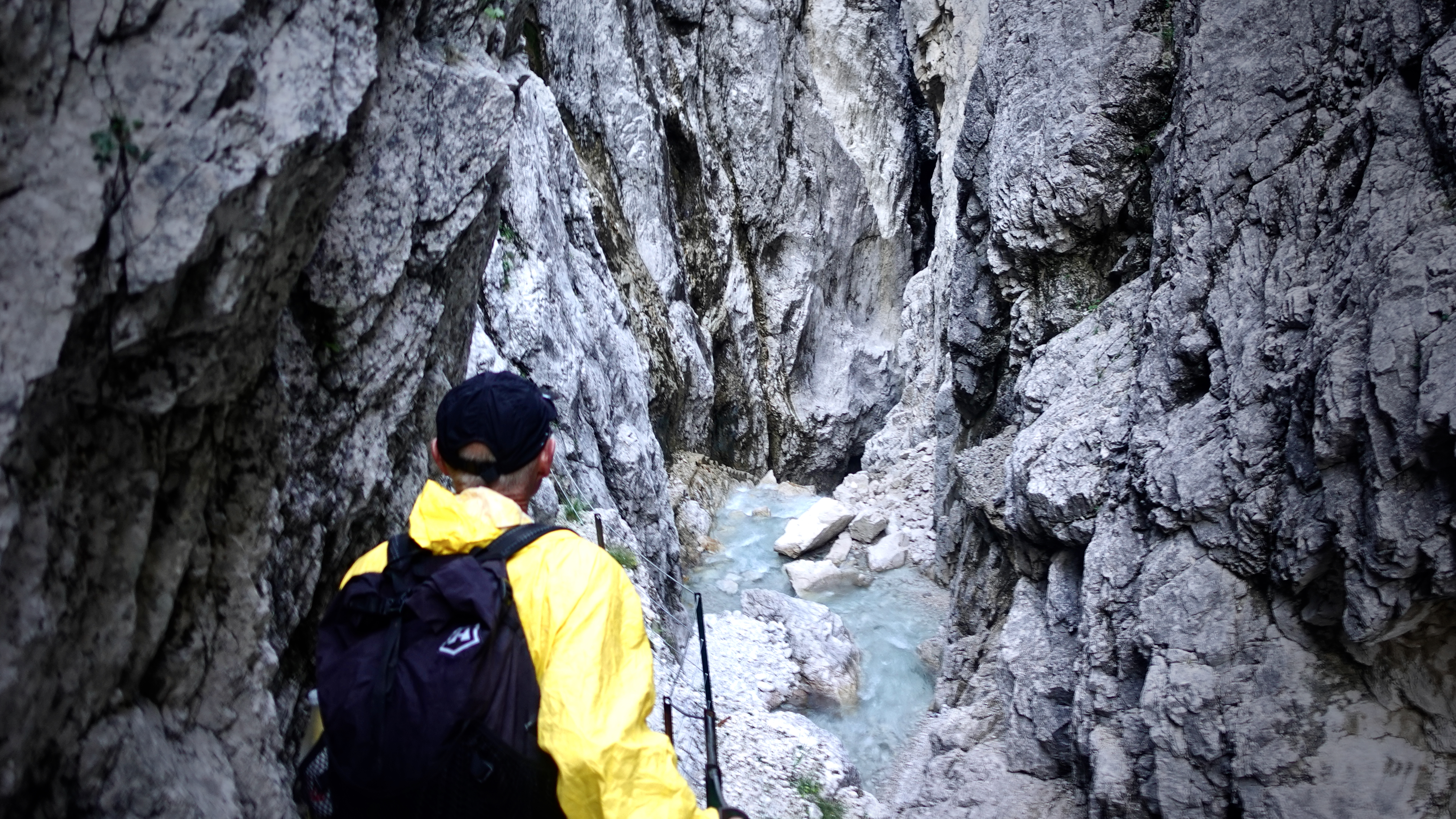
… then several steep ascent trails to get to the bridge.
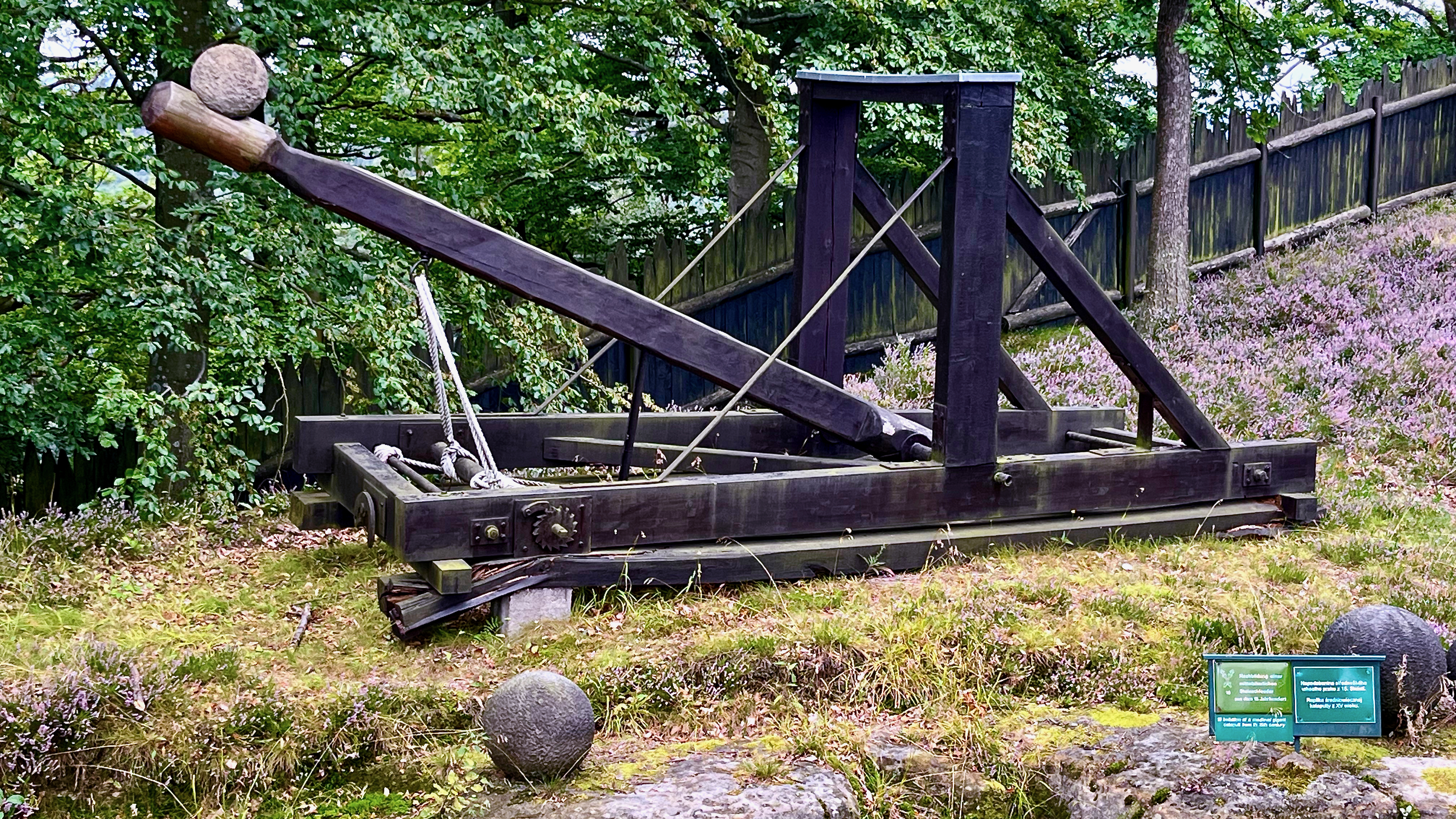
A medieval catapult and many of the boulders are on display.
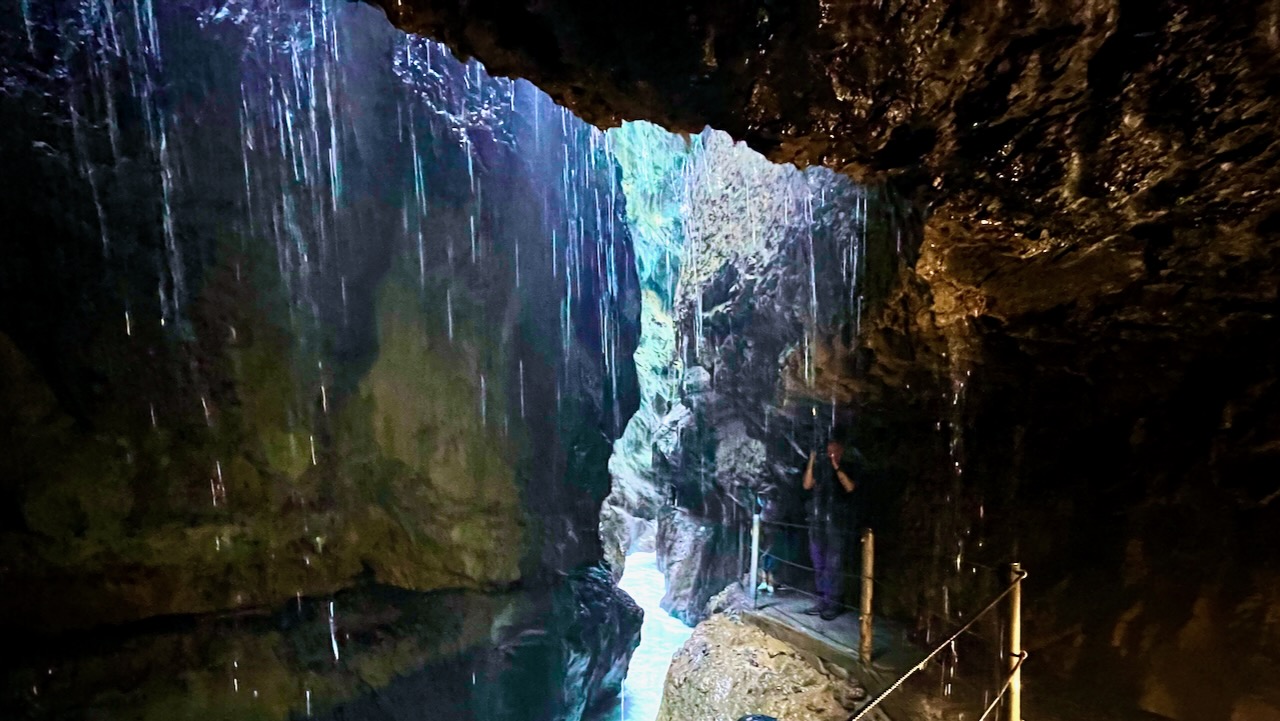
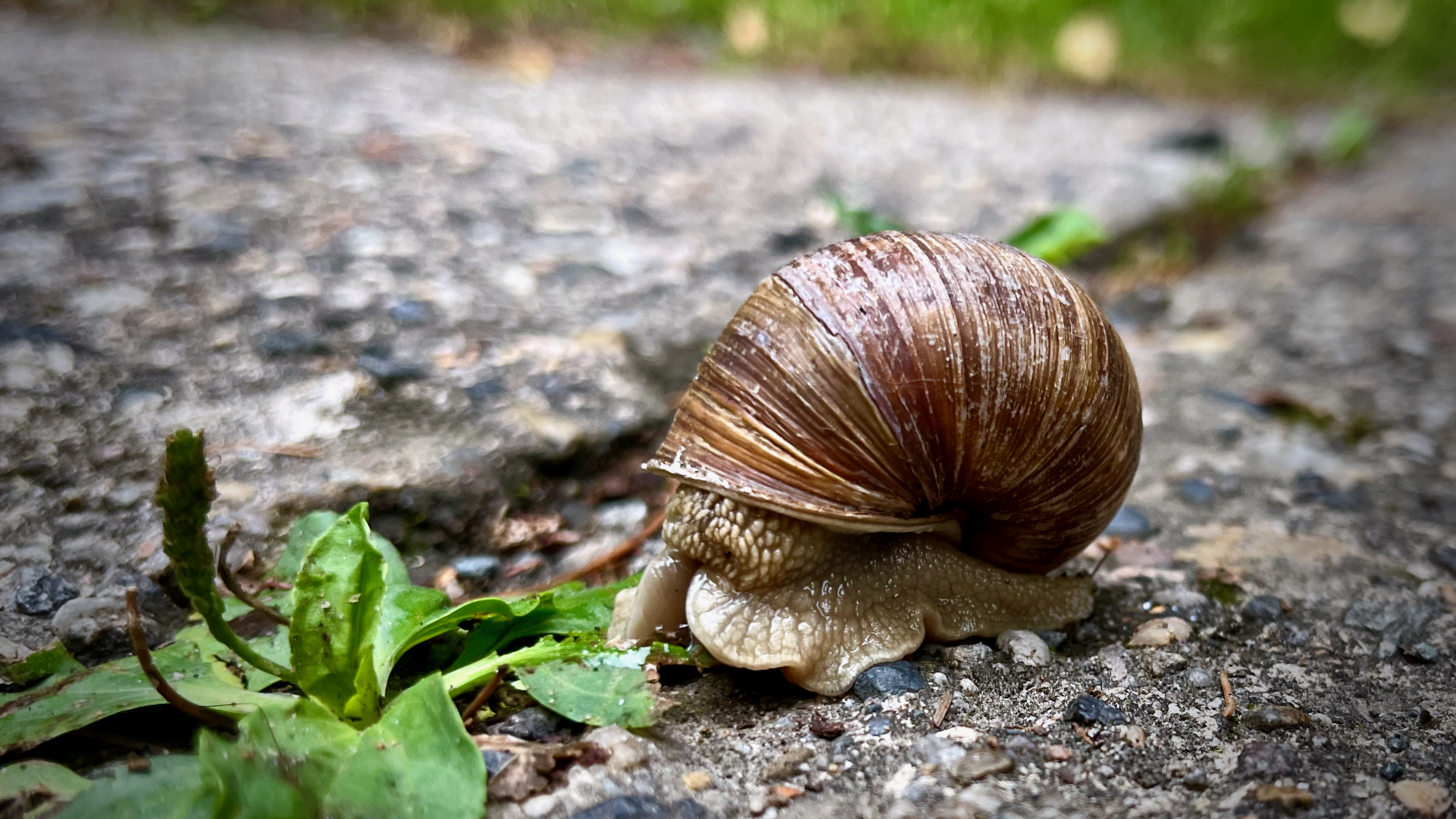
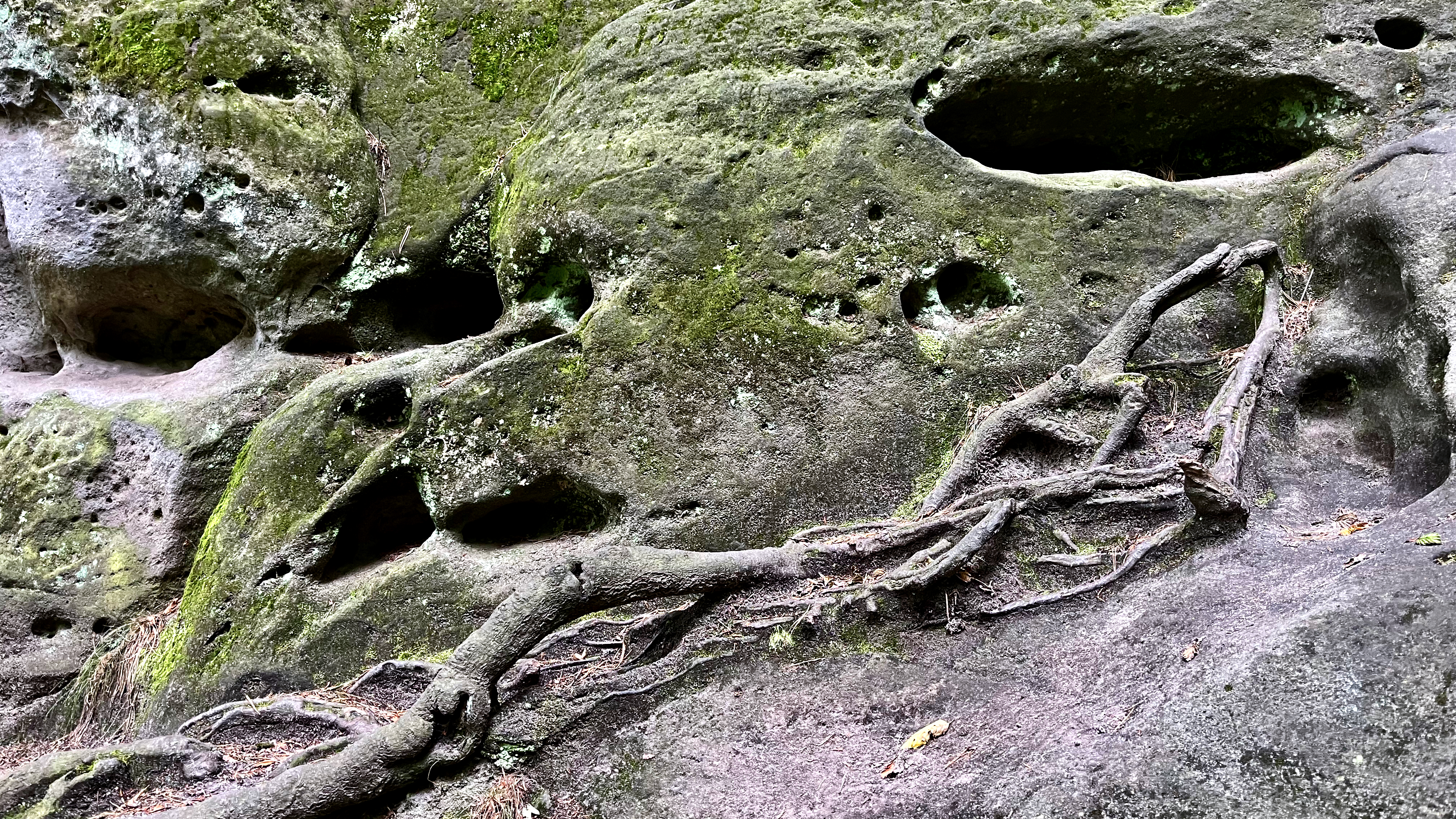
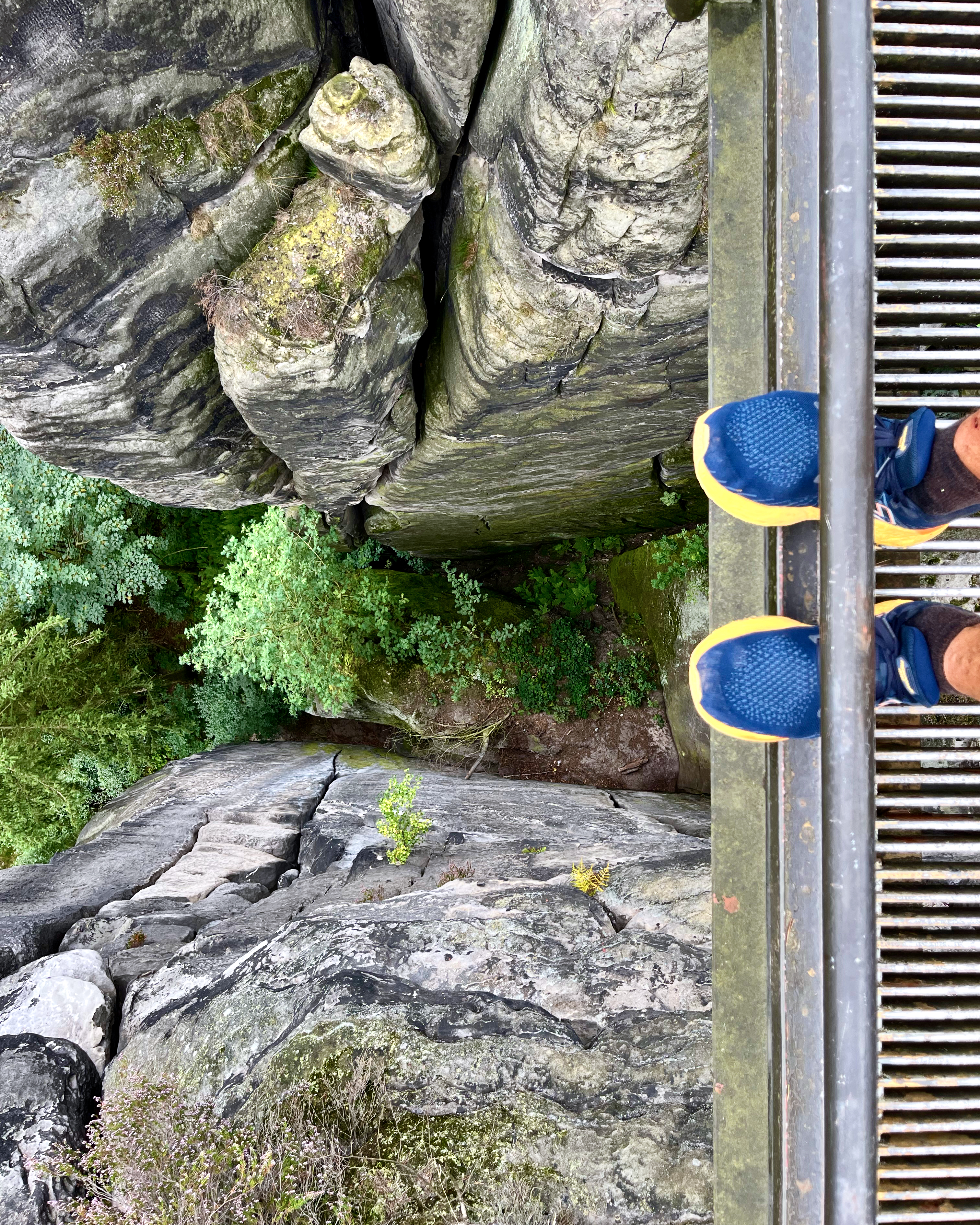
Of course the archeology of the eroded sandstone is varied and interesting.
Once up high it’s all good. Most of the trails are free. But to walk across the bridge itself there is a small fee.
The views are just as good from the free trails, in my opinion.
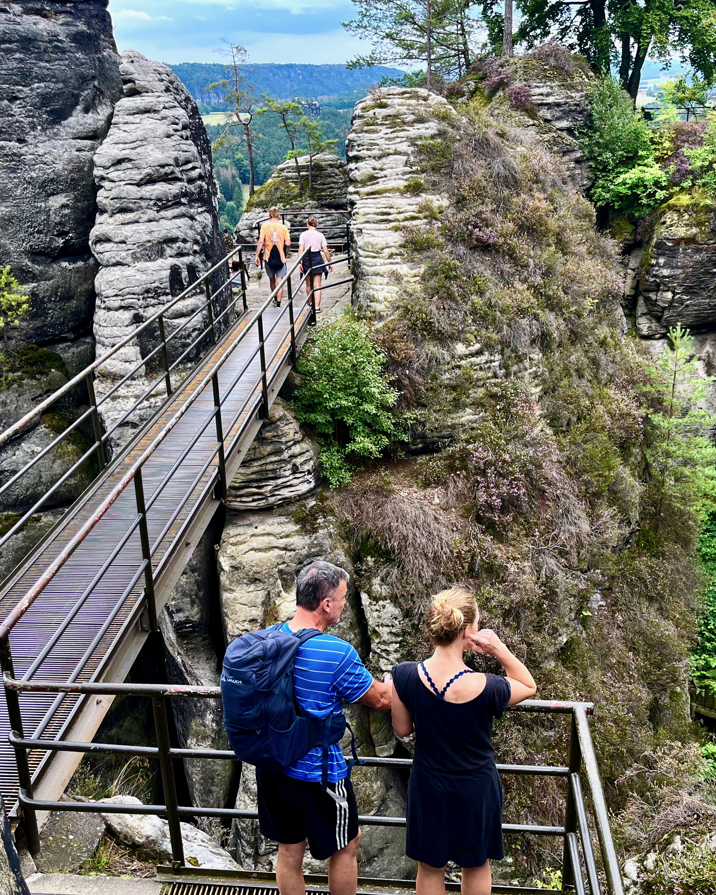
It is high. If you have a fear of heights, this might not be the hike for you.
It is busy. If you don’t like crowds on high walkways, come earlier or later in the day.
If you have the time, consider doing more hiking in the area. One popular hike runs from Stadt Wehlen via Bastei to Kurort Rathen (or the other way round).
On this hiking tour, also called the “Golden Triangle”, sights such as the ruins of Wehlen Fort, Bastei Bridge and the Schwedenlöcher (Swede Hole) Trail can be discovered.
saechsische-schweiz