Start / Finish: Lake Sylvan car park / Routeburn shelter.
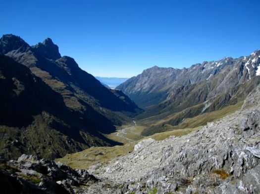
The Five Passes Route is a wilderness tramp (Kiwi speak for ‘hike’ or ‘trek’) that requires good route finding and map reading skills. If you are looking for a well marked, easy to follow trail, you may want to try the nearby Routeburn Track. …
There are no huts, except for the somewhat dilapidated Rock Burn Shelter, situated a few kilometres north of Lake Sylvan car park.
There are rock bivvies at Beans Burn, Olivine Ledge, Parks Pass and Theatre Flats. See Moir’s Guide for details of exact locations. The Beans Burn and Parks Pass bivvies are the pick of the bunch.
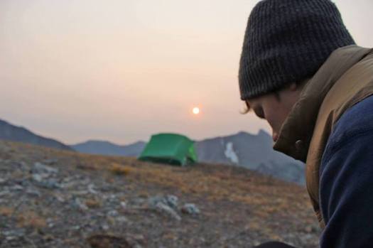
It is possible to spend all of your nights under the rock bivvies, however considering the challenging terrain and unpredictable nature of the weather, you would be wise to bring your own shelter.
A challenging trek for experienced hikers only. Scenically stunning from start to finish. …
1. Two people can fit in a 2 person tent.
2. You’ll sleep warmer if you sleep naked in a sleeping bag.
3. You need to wear hiking boots to go backpacking.
4. You need a backpack rain cover to hike in the rain.
5. You need a tent footprint to protect the floor of your tent.
6. Waterproof breathable rain jackets are breathable.
7. You need a 4 season tent to camp in winter.
8. Biodegradable soap is ok to wash with in streams and ponds.
9. Waterproof hiking boots will keep your feet dry.
10. You don’t need to carry maps and a compass because you have a GPS.
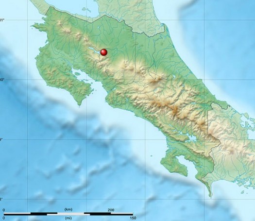
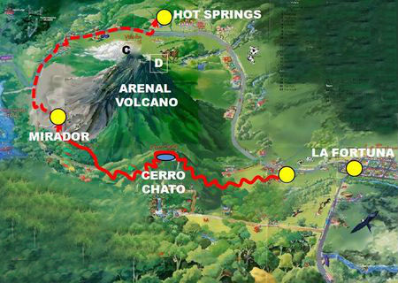
Arenal Volcano National Park (Spanish: Parque Nacional Volcán Arenal) is a Costa Rican national park in the central part of the country …
The park encompasses the Arenal Volcano, which “was” the most active in the country, which had previously been believed to be dormant until a major eruption in 1968. …
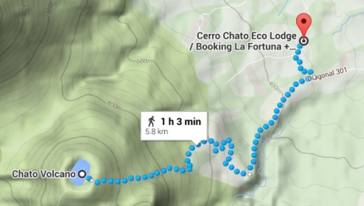
The park also contains a second volcano, Chato, whose crater contains a lagoon. It is also called Cerro Chato (literally Mount Chato) as it has been inactive for around 3500 years …
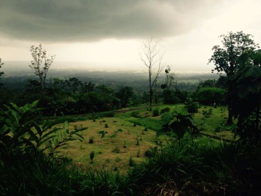
Looks great. Unfortunately I got rained out May 9th, 2015. May is the start of the rainy season. 😦
The most popular trails are short day hikes. Perhaps 4 miles in total.
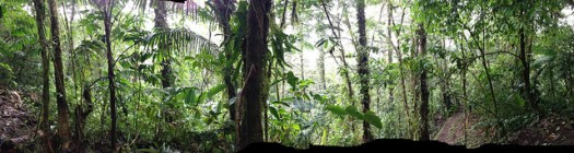
jungle section
It’s been mostly inactive since 2010. Might remain dormant state for the next 600 or 800 years.
I was free for a half day. This is one of the few FREE hikes in Monteverde. So I tried it.
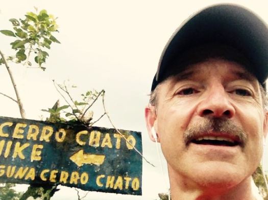
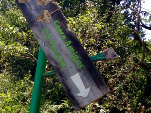
There is some signage. Not great.
If you hadn’t been told by a local to zig rather than take the obvious zag, you’d be lost.
I got lost.
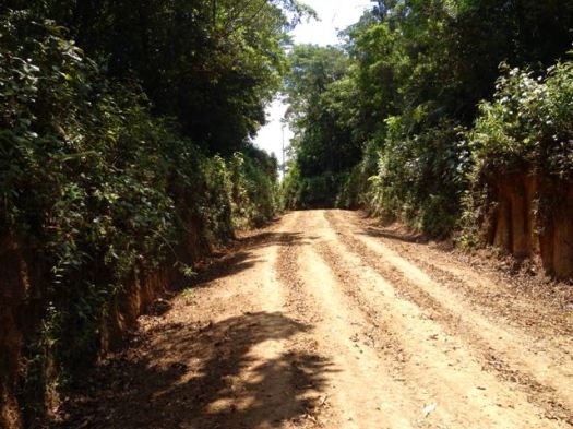
Eventually I did find the service road up.
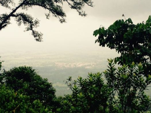
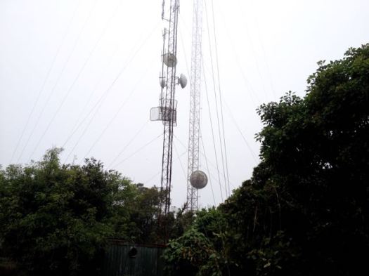
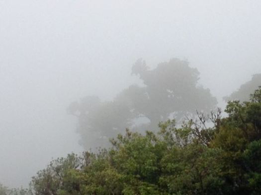
Whenever the clouds momentarily clear above Monteverde and Santa Elena you can see the radio, television and phone towers topping Cerro Amigos. (1842m)
The access road to the top is used by the occasional maintenance crews but it’s also a great route for a short steep hike – free and open to the public. …
The highlight was seeing 2 resplendent quetzal. Another Canadian saw 4 the same day. May is breeding season.
… The “song” is a treble syllable described as kyow or like “a whimpering pup”, often in pairs, which may be repeated monotonously. …
It was something closer to a puppy whimper than a kitten’s sound.
… classified as near threatened on the IUCN Red List due to habitat loss. …
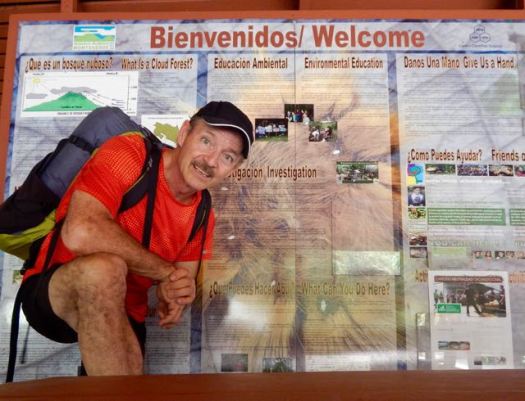
The Monteverde Cloud Forest Reserve (Reserva Biológica Bosque Nuboso Monteverde) … founded in 1972 … visited by roughly 70,000 visitors a year. …
… extremely high biodiversity, consisting of over 2,500 plant species (including the most orchid species in a single place), 100 species of mammals, 400 bird species, 120 reptilian and amphibian species, and thousands of insects, has drawn scientists and tourists since. …
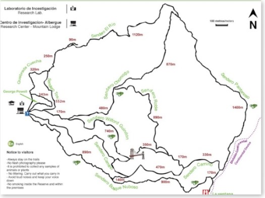
I hiked all the trails in less than 4 hours. A number were closed. They looked to me to be closed permanently.
I did take one of the closed trails for a few hundred metres, just to compare. It seemed about the same but without trail maintenance.
For lunch I propped myself up against my pack under a giant tree. And enjoyed it so much that I left behind a Summit Stone.
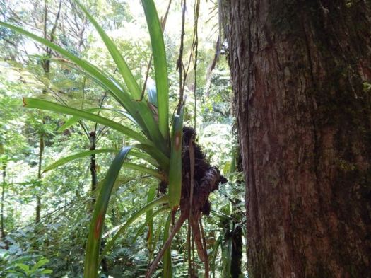
A second highlight was the bridge through and above the forest canopy. Dangling plants living only on “air” are amazing.
Cost for entry in 2015 was $20 for a foreign adult. Locals consider that high compared to a similar experience in the other reserves.
On the other hand, this is the only official local hiking area that reaches the continental divide.
Though you are not likely to see any animals … (I saw only one mammal fleetingly) … I recommend this hike.
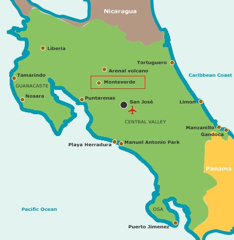
Transportation between San Jose and Monteverde is relatively painless. You can easily get to the Arenal volcano, as well.