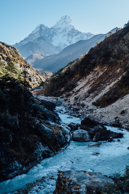
trip report by besthike editor Rick McCharles
day 0 | 1 | 2 | 3 | 4 | 5 | info Condor Circuit
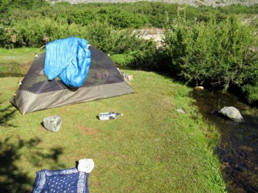
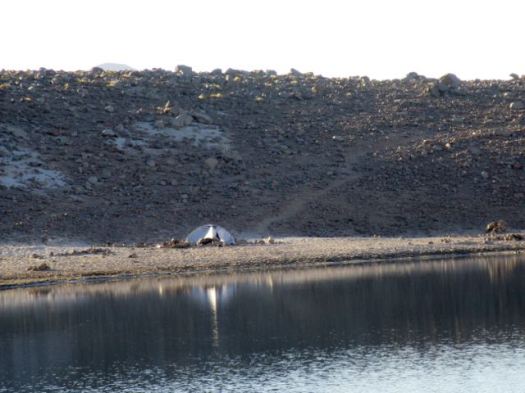
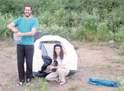
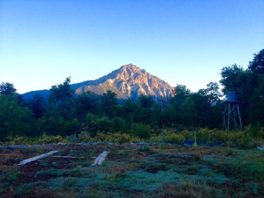
Another lovely dawn. I packed up before the sun hit my tent. Fearing sunburn.
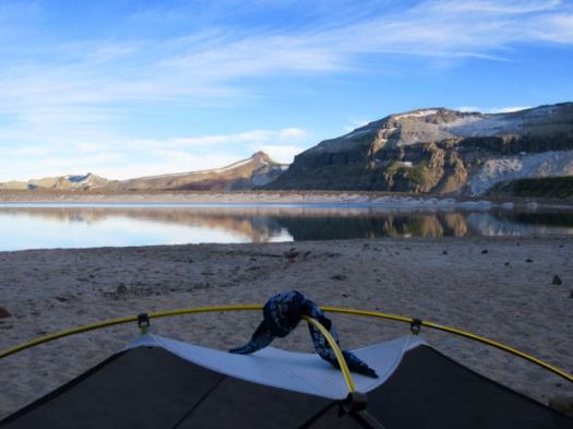
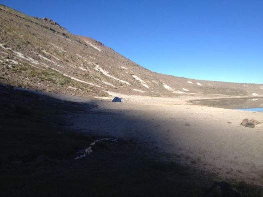
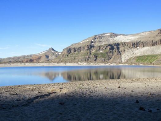
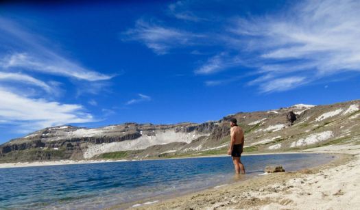
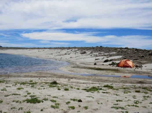
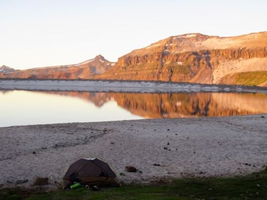
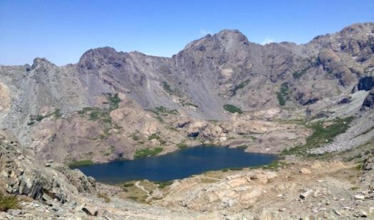
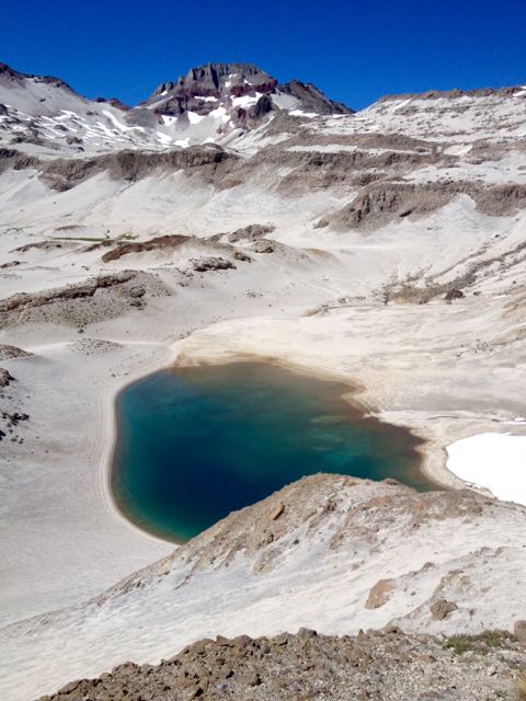
Pretty Laguna las Ánimas is a jewel in the midst of volcanic destruction.
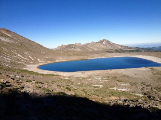
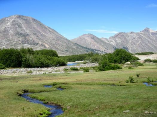
Atop the next plateau I was surprised to find yet another alpine meadow.
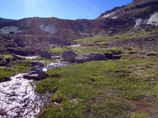
If this region were not so volcanic, it would be very green.
Higher there was yet more water. But the scenery grew stark. Weird and wonderful.
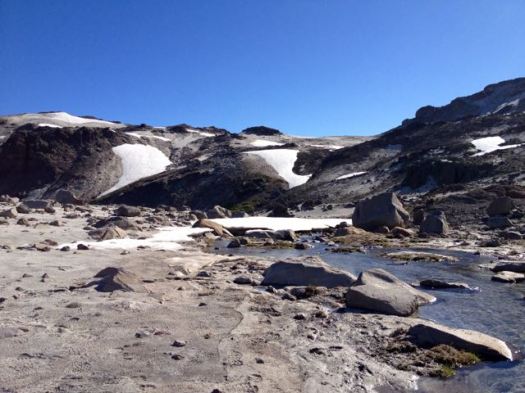
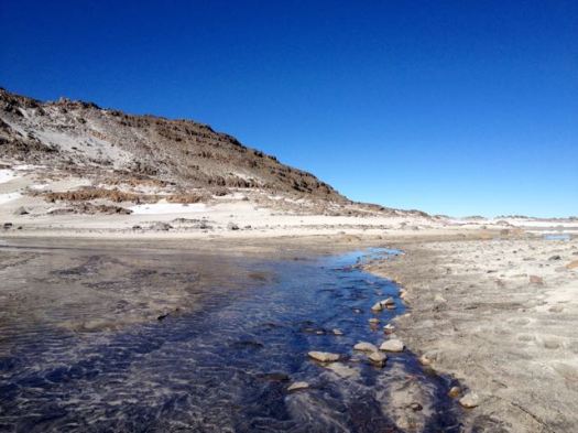
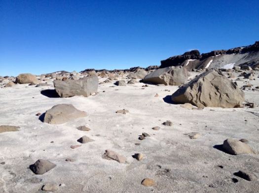
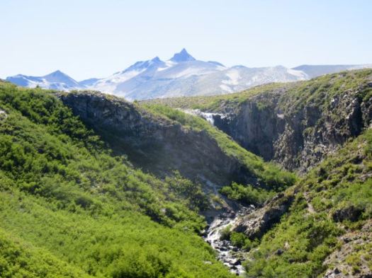
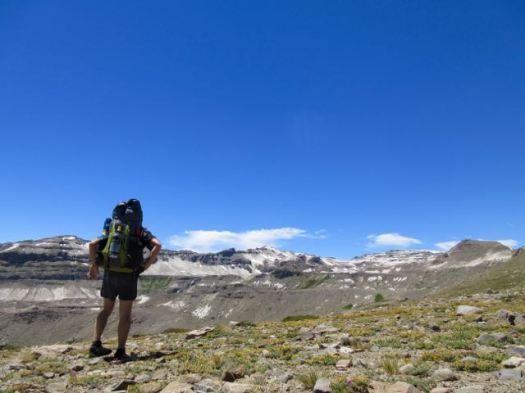
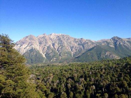
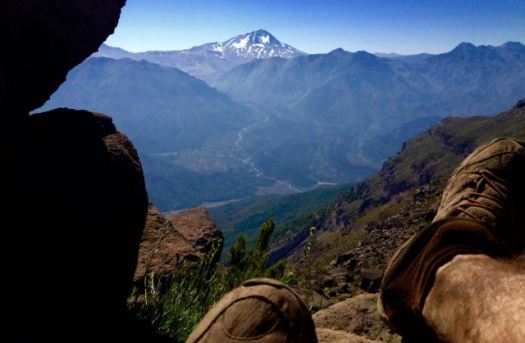
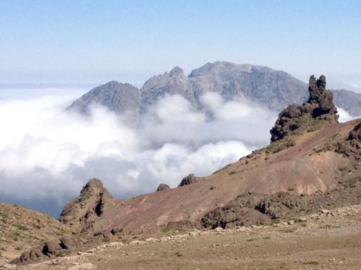
Looking back on my morning route.
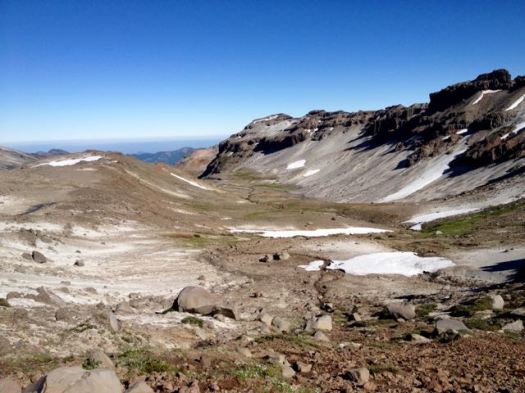
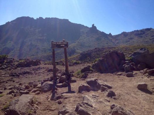
Above Ánimas there are no signs. No official trails. You are on your own. I’m sure people get lost and die here every year.
I hoped that was my highest pass up ahead.
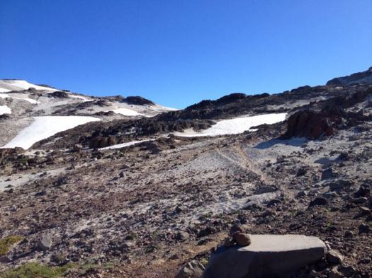
It was. 🙂 I left a Summit Stone.
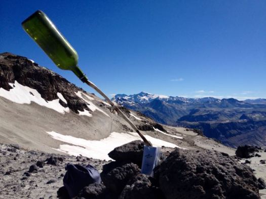
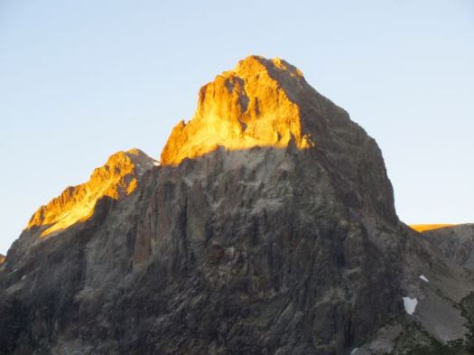
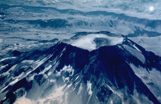
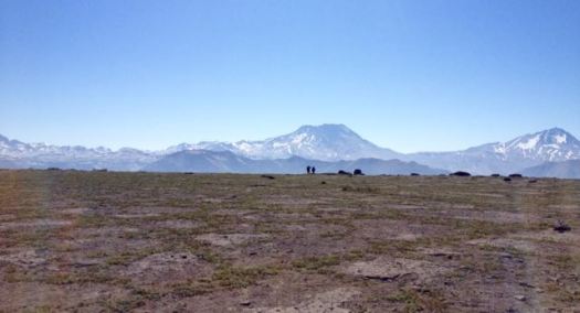
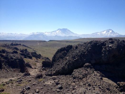
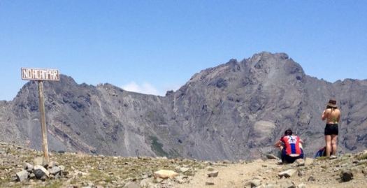
It would be an excellent idea to enjoy the massive and impressive Mt. Decapitated vista from here. And turn back.
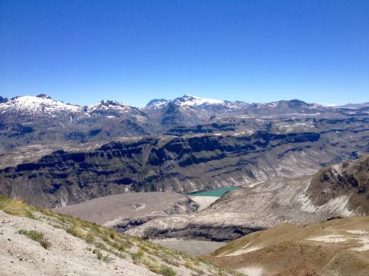
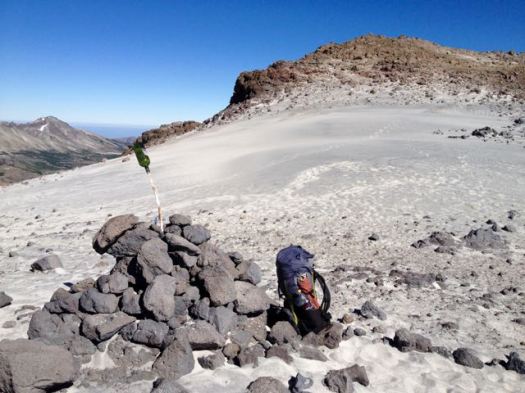
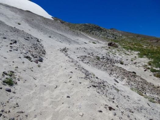
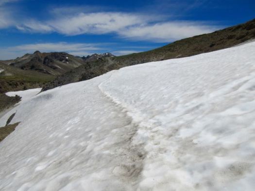
I dropped down to the other side crossing this field of snow and ash.

Laguna Mondaca looked too great a descent for me. I’d really rather not drop down that far and have to climb back up.
A high traverse trail on the right looked much more tempting. Quickly I decided to stay as high as I could. Returning by the same route if that trail didn’t loop around back to Valle de Indio.
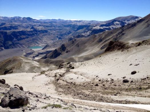
I LOVE this kind of brutal & extreme landscape.
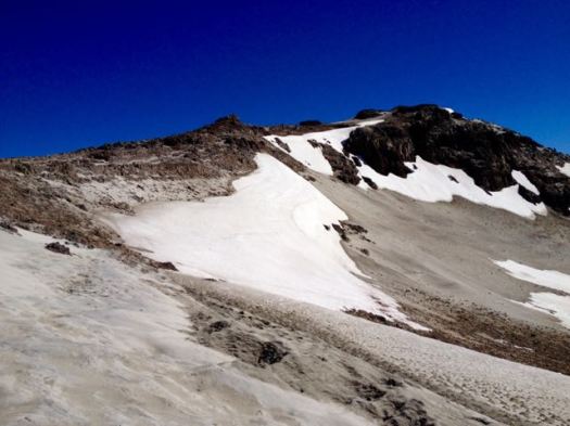
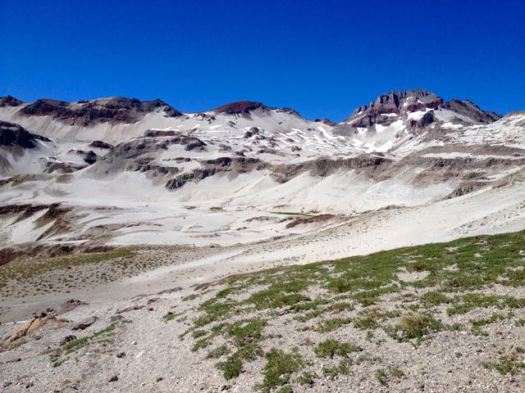
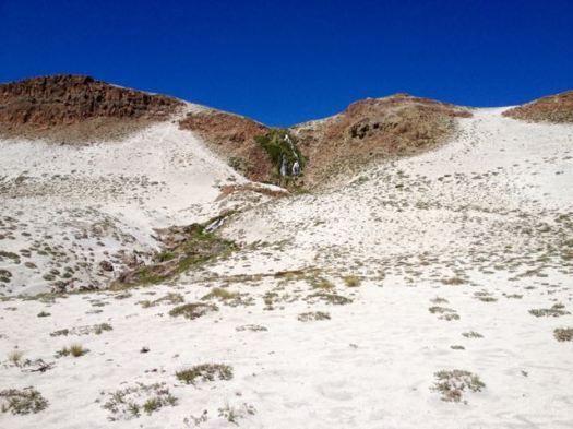
Surprisingly, it’s quite easy to find water here.
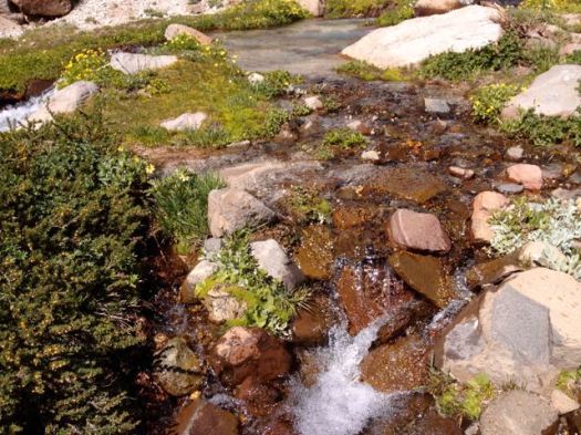
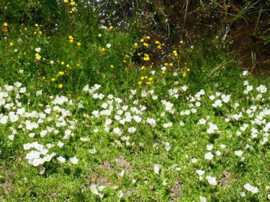
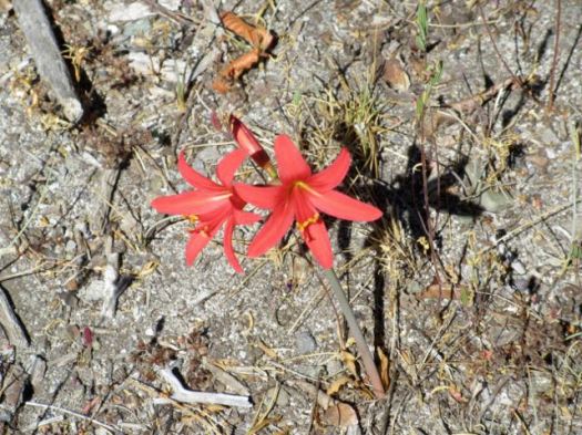
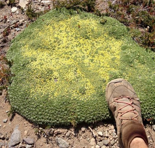
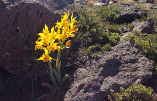
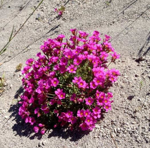
Wildflowers were still thriving in January.
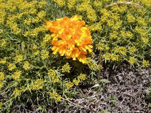
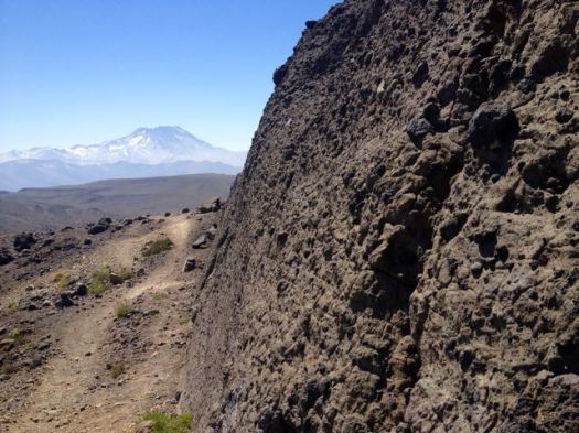
The unofficial trail was excellent. I stayed as high as I could.
Though I could see for miles in every direction, I’d seen no wild mammals at yet. Goats were grazing very high up, circled by two very interested condors.
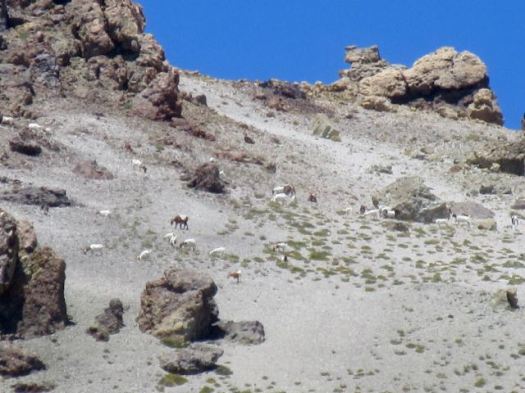
I tried to find some shade to take a siesta mid-day. This was one of the best.
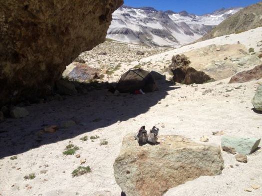
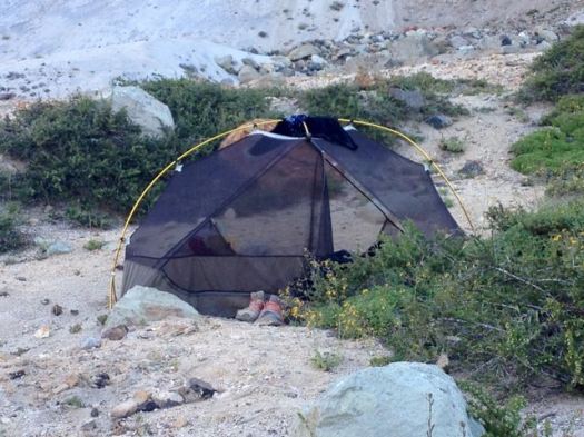
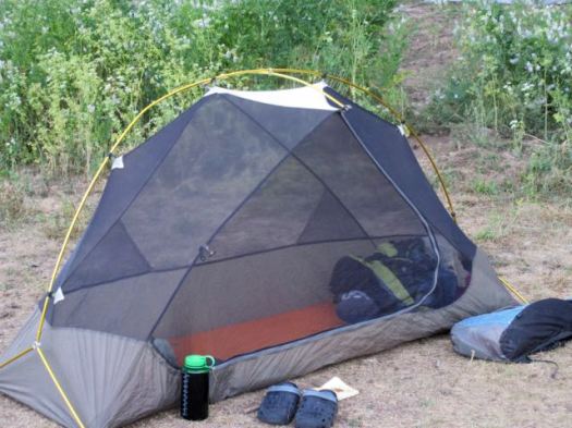
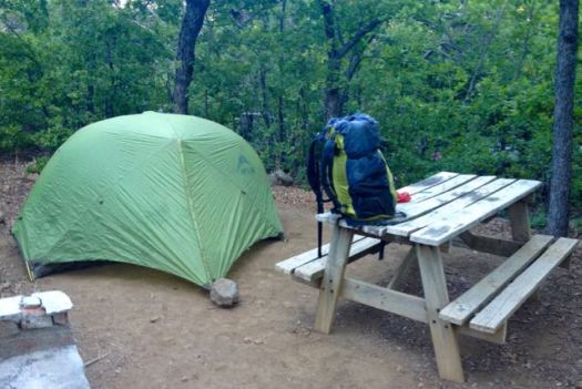
I set up the tent to keep flies and wasps away.
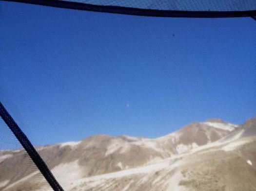
This was a long but comparatively easy day, mostly gradually downhill. I decided to enter a side valley hoping it would loop back to where I started. (My GPS did not work and I had no map, so this was wild speculation.)
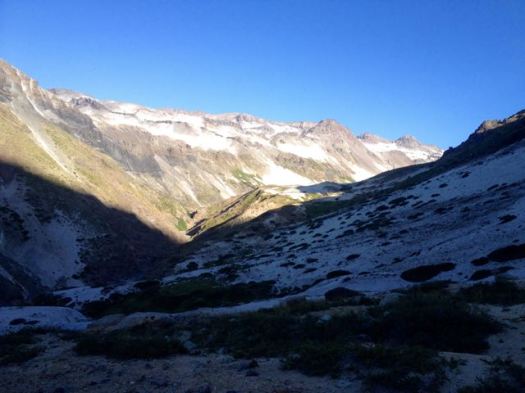
Entering the valley I smelled sulphur. I’d stumbled on to one of the many natural hot springs in the area. But a horse group was already camped there. I decided to wait until next day to have my bath.
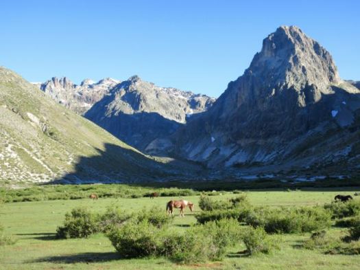
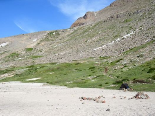
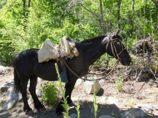
I set up high and out-of-sight since there were cattle and people in this valley.