documentary – Sunshine Coast Trail, B.C.

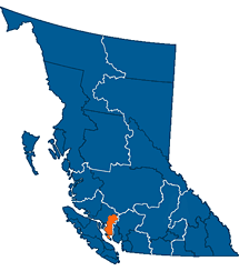
World → North America → Pacific NW → Canada → Sunshine Coast Trail

Nearby West Coast Trail is the best hike in the world. Right?

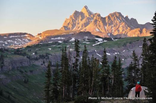
The SCT is the latest of a number of WCT alternatives. And it’s an excellent alternative. Be aware that “Sunshine Coast” is the name of the region. Not much of the SCT is on the coast. It’s almost entirely inland.

AT A GLANCE

  • the best jumping off point for the SCT is Powell River, close to Vancouver B.C.
  • the Sunshine Coast is less rainy than the rest of the lower mainland, but can still be very wet
  • up to 180km (112mi)
  • possible to hike hut to hut without carrying a tent
  • 12 huts “first-come, first-sleep”. Each can accommodate at least 12 hikers. More huts are being added.
  • Canada’s longest hut to hut hiking trail
  • NO permits or reservation required
  • free 🙂
  • it’s considered B.C.’s hidden gem of hiking routes. Many have not yet heard of this adventure.
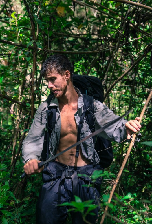
  • we recommend you carry a tent as a back-up. There are many scenarios which might cause you not to reach the next hut on any given day.

Read more on our Sunshine Coast Trail information page.

Click PLAY or watch a trailer for a new Sunshine Coast Trail documentary on Vimeo.

(via Sunshine Coast Trail on Facebook)

Ultra-Sil® Dry Day Pack

Made from siliconized CORDURA® fabric, this ultra-lightweight and compact day pack resists water ….

The seams are double stitched and sealed with high density PU seam tape. The unique double Hypalon® roll top is non-wicking and helps create a good seal. The compression lacing system provides secure storage.

Ultra-Sil dry

It will keep my clothes dry in the hiking pack. And I’ll use it for day hike side trips and climbs as needed.

Click PLAY or watch it on YouTube.

It costs about $50 on Amazon.

new – Scottish National Trail

The Scottish National Trail is an 864 kilometre-long long distance walking route running the length of Scotland from Kirk Yetholm to Cape Wrath.

Devised by outdoors writer and broadcaster Cameron McNeish, the Trail offers very varied walking, following long-established footpaths for much of the distance but becoming progressively more difficult as it heads north, finishing with a tough stretch of backpacking – with some pathless and demanding terrain – on the final stretch of the Cape Wrath Trail. …

ScottishNationalTrail.co.uk

map

Click PLAY or watch a teaser on YouTube.

Pumalín Park, Chili

Pumalín Park (Spanish: Parque Pumalín) is a … private nature reserve in the Palena Province of Chile, created by the United States environmental foundation The Conservation Land Trust, which was endowed and led by the American business magnate Douglas Tompkins. …

We dropped into to the head office of this private park in Puerto Varas to get an update on progress.

Facilities have expanded since I visited Pubalin 11 years ago. The official map now has 17 campsites, 12 official short trails, 4 hotsprings. We were told there are no official overnight hikes. Yet.

Pumalin

Their website is posted in Spanish and English.

On December 8, 2015, Tompkins was kayaking with five others on General Carrera Lake in southern Chile when strong waves caused their kayaks to capsize. Tompkins spent a “considerable amount of time” in waters 40 °F (4 °C) below. He was flown via helicopter to a hospital in nearby Coyhaique, where he died hours later from severe hypothermia. He was 72 years old …

Doug_Tompkins

Lonely Planet Trekking in the Patagonian Andes

trekking Patagonian AndesThe 2009 edition is longer available from LP. Not even as a digital version. 😦

I highly doubt it will ever be updated.

You can still find used versions on Amazon at high cost.

I searched until I found one in a used book store. I’ll hang on to it. There’s nothing better for the region, in my opinion.

A 2015 Spanish language guidebook is closest – Trekking por Chile by Compass, the map company.

If you only need to see some of the Lonely Planet guide, check the version archived on Google Books.

Michael Lanza’s top 10 U.S. hikes

#1 A Grand Tour of Yosemite

#2 Northern Glacier National Park

#3 Teton Crest Trail

#4 Zion’s Narrows

#5 John Muir Trail

#6 Royal Arch Loop, Grand Canyon

#7 The Southern Olympic Coast

#8 Spider Gap-Buck Creek Pass Loop, Glacier Peak Wilderness

#9 Idaho’s Sawtooth Mountains

#10 Timberline Trail, Mount Hood

DETAILS

Tet16-40-Death-Canyon-Shelf-Grand-Teton-NP-copy
Death Canyon Shelf, Teton Crest Trail

Michael Lanza was for many years was the Northwest Editor of Backpacker Magazine. He edits The Big Outside hiking blog.

Ash Dykes – Madagascar Traverse

… the first person in history to successfully walk the entire length of Madagascar, summiting its eight highest mountains on the way. …

How do you feel after walking 1,600 miles for 155 days from the south end of Madagascar to the northernmost point?

When I actually arrived & finished at the most northern point (Cap’D Ambre), I had to walk two days back the same way to reach civilisation, the small tracks were too bad for any car to attempt to pick us up. But it was a surreal, exciting and an extremely satisfying feeling!

Why did you choose to take on this challenge?

I knew it would be amazingly unique: over 80 per cent of all fauna and flora are found nowhere else in the world – so that alone would mix things up. I knew barely anything about Madagascar and hardly anyone talks about it. I wanted to get into its interior and really discover what it’s about deep within the island.

The island is also constantly changing, from desert, shrub land, jungle, savanna and mountains …

FIELD REPORT: ASH DYKES MADAGASCAR TRAVERSE – INTERVIEW

Ash jungle

Click PLAY or watch an expedition preview on YouTube.

ashdykes.com