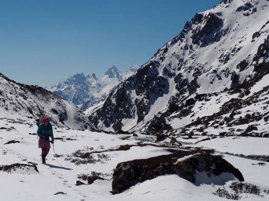
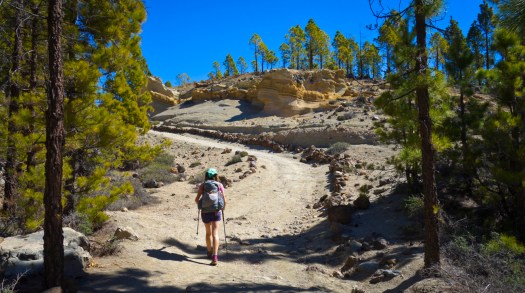
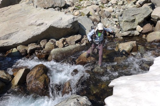
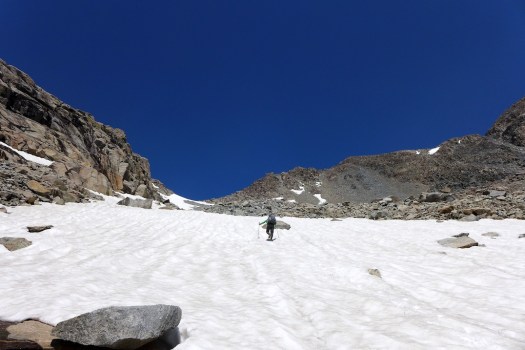
CHELSEA and JOSEPH did not want to stay in Alpine Huts. They tented the entire route. Nine days.
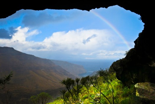
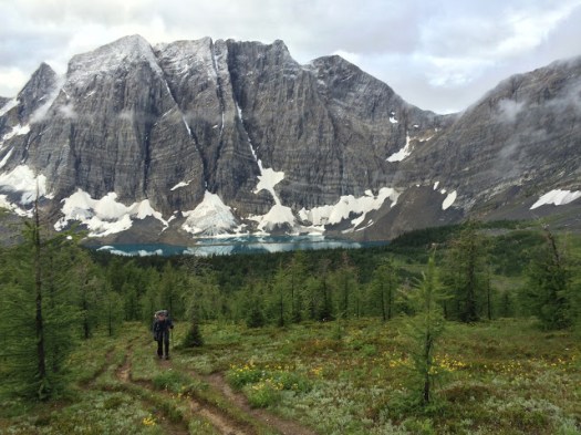
From Chamonix to Zermatt, from Mont Blanc to the Matterhorn, how could you go wrong with a hike like this! The Walker’s Haute Route is an absolutely stunning trail that offers what I would consider to be the classic Alps experience: beautiful mountain hamlets, green flower-rich valleys, gorgeous snow-capped peaks and almost constant access to great food and drink. …
In many European countries, wild (not in a designated campsite) camping is illegal and the number of legitimate campsites are few and far between.
In addition, other trip reports for the WHR were claiming that tenting the whole way was impossible due to the terrain and/or that all camping in Switzerland was illegal. Looking a bit closer though it became clear that while wild camping in Switzerland is highly discouraged, it is not “illegal” in all places. You are generally allowed to camp high , but should avoid camping outside of designated sites in the valleys as each canton and town has different laws and can impose a fine for wild camping.
Armed with this information we decided to go ahead with our plan and hike the trail with our tent. We hope this guide will help others who are looking to do the same. …
You should pretty much always have a map when you go hiking (and know how to use it), but the maps for this trail were just stupid expensive and big. Instead, we relied solely on the Kindle version of the Kev Reynolds guide, Chamonix-Zermatt: The Walker’s Haute Route. While we disliked Kev by the end of the hike for his nonchalant writing style, he did manage to get us to Zermatt without major incident or getting lost. …
The Walker’s Haute Route: Unguided, Unmapped and with a Tent


We’ve updated our Haute Route information page with this excellent trip report.