Click PLAY or watch it on YouTube.
If you like that, watch another Patagonia edit by Martin Heck on Vimeo.
(via Adventure Blog)

Best hikes, treks, tramps in the world.
Click PLAY or watch it on YouTube.
If you like that, watch another Patagonia edit by Martin Heck on Vimeo.
(via Adventure Blog)
Click PLAY or watch it on YouTube.
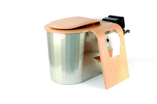
I learned about this system from the Outside magazine podcast –
Canadian researcher Geoff Hill is now putting the French design into National Parks in North America.
Click PLAY or watch it on YouTube.
related – Williams, Brennan – Risks And Benefits of the Use of Urine-Diverting Vermicomposting Toilet Systems
trip report by site editor Rick McCharles
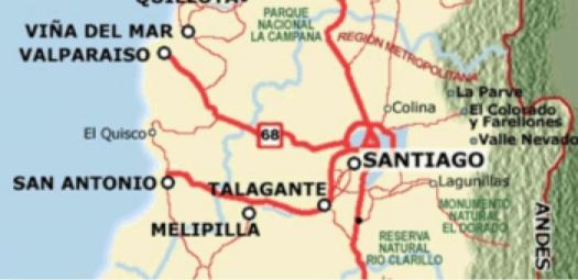
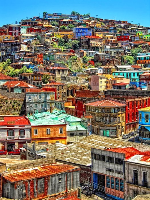
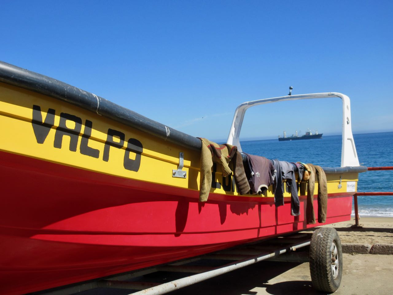
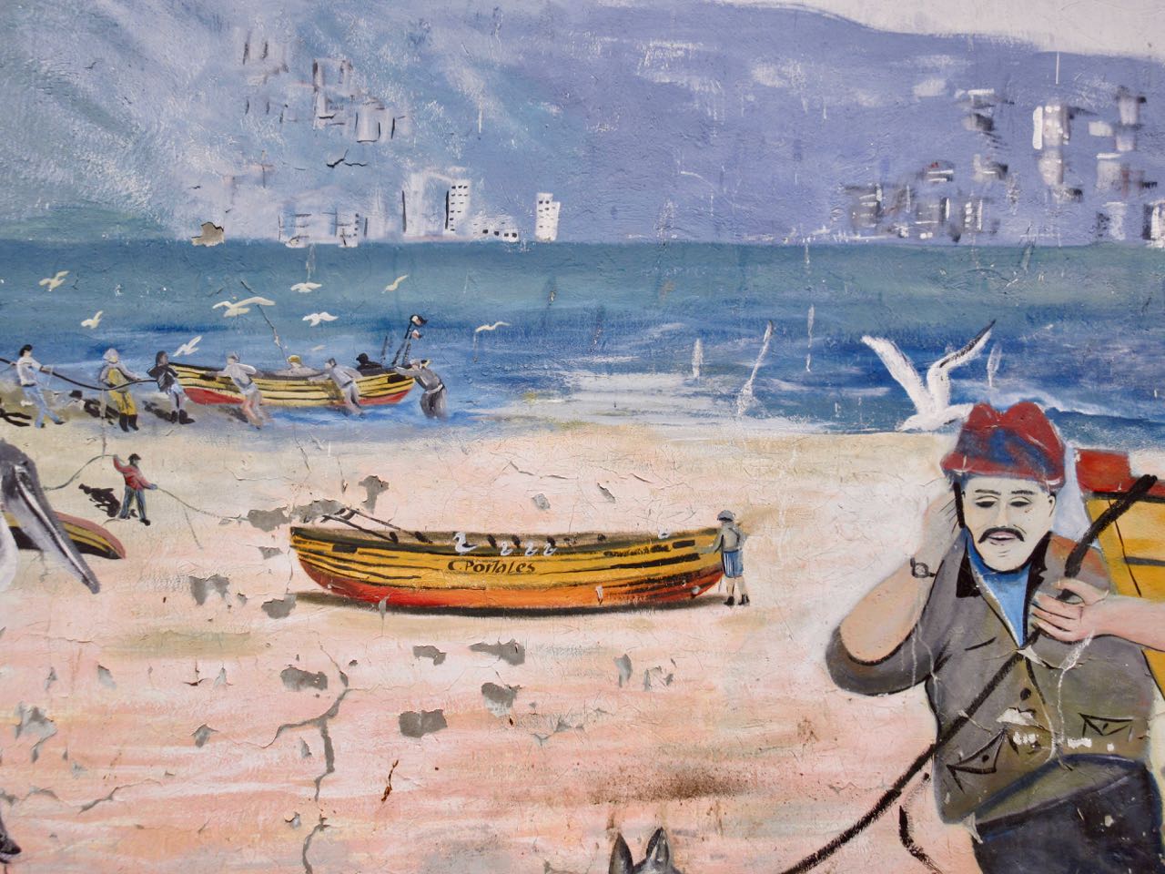
People from the BIG CITY of Santiago love to escape to Valparaíso on the coast.
Valpo is popular with tourists who enjoy the city’s labyrinth of cobbled alleys and colorful buildings.
It has a a mild Mediterranean climate.
In 1996, the World Monuments Fund declared Valparaíso’s unusual system of funicular lifts (steeply inclined carriages) one of the world’s 100 most endangered historical treasures.
Valparaíso is protected as a UNESCO World Heritage Site.
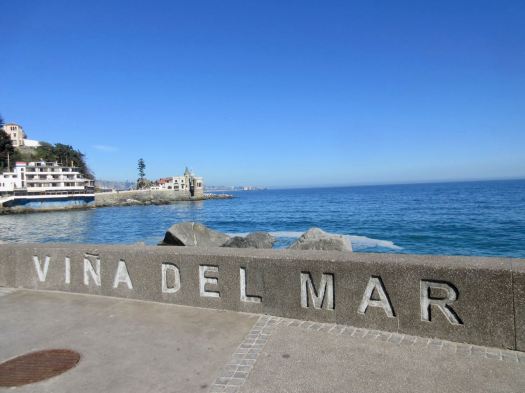
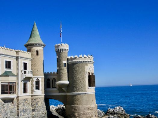
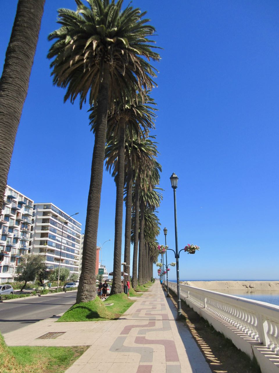
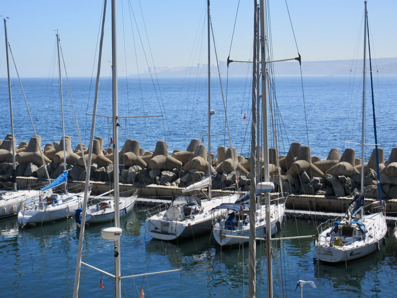
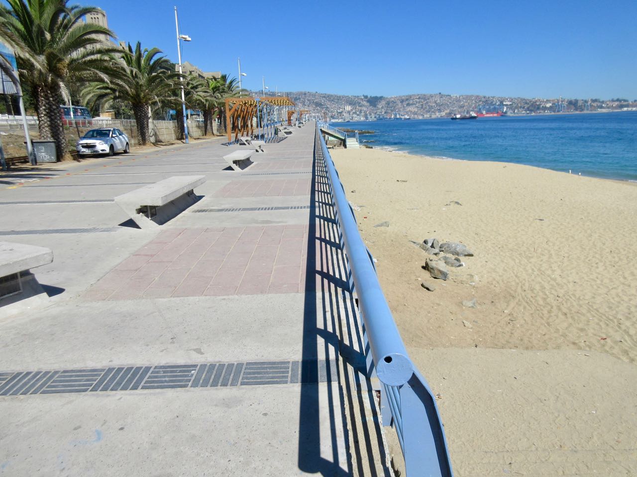
I decided to walk to Valpo along the coast from Viña del Mar, an upscale suburb to the north famed for great beaches.
Having walked the beaches the previous evening, I started near the castle.
There were plenty of runners and cyclists, but not many walkers.
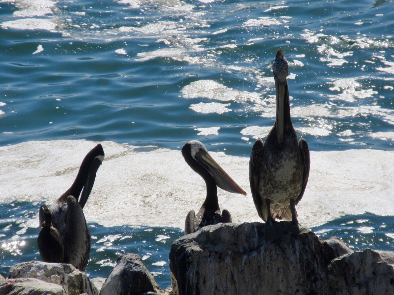
Birds are always a highlight in Chile. Pelicans have always been some of my favourites.
Originally a port and fishing centre, much of the coast has not been improved for pedestrians.
Some has.
Fishermen use mobile phones now.
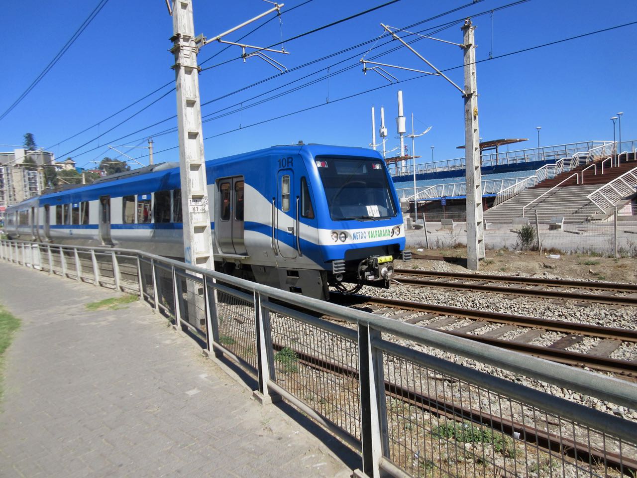
There’s a lot of traffic on the coastal road. At one point you are pushed inland by train tracks.
Parts of this 3 hour walk I did enjoy.
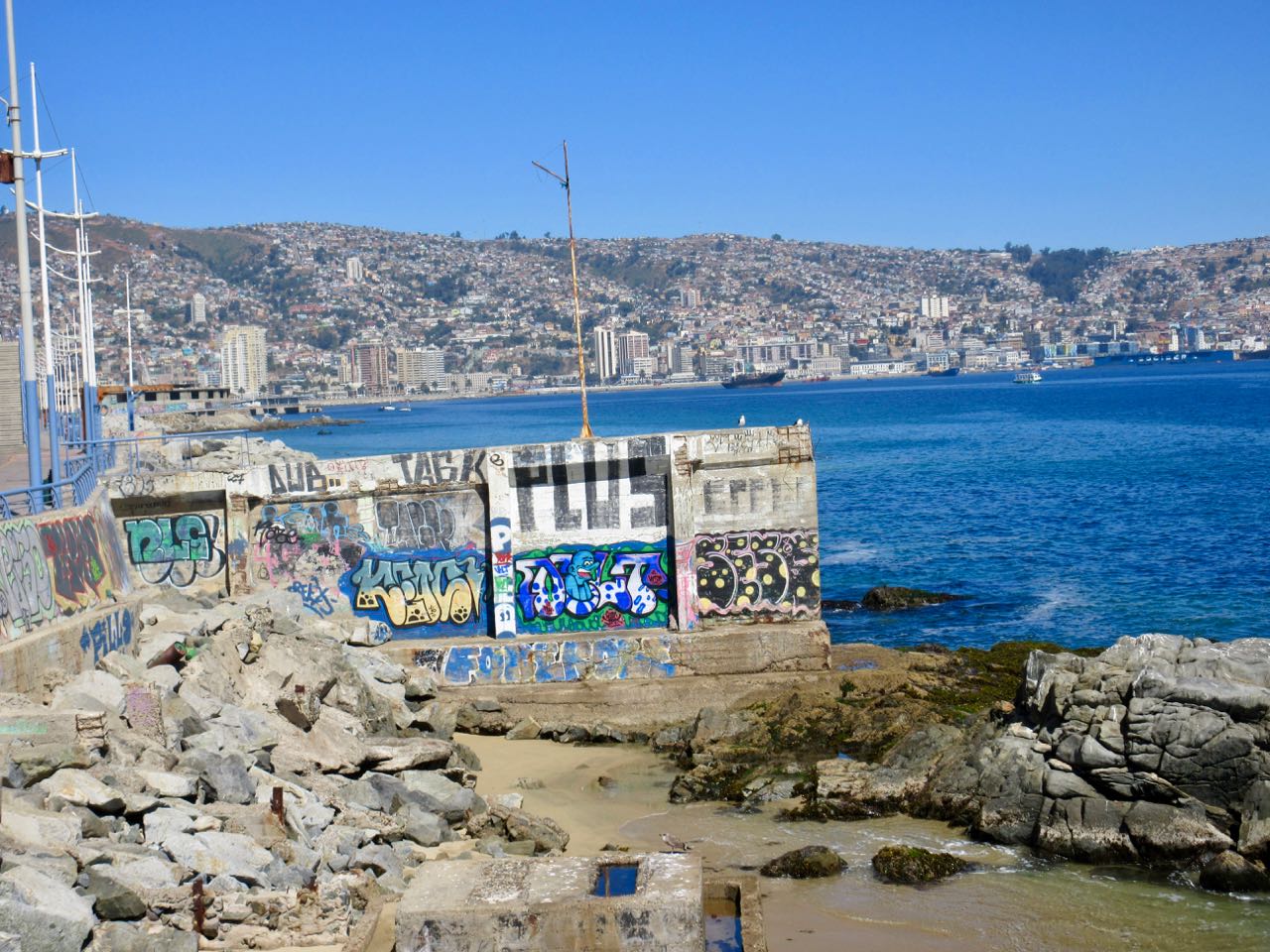
Other sections I found annoying. Graffiti EVERYWHERE was starting to bother me.
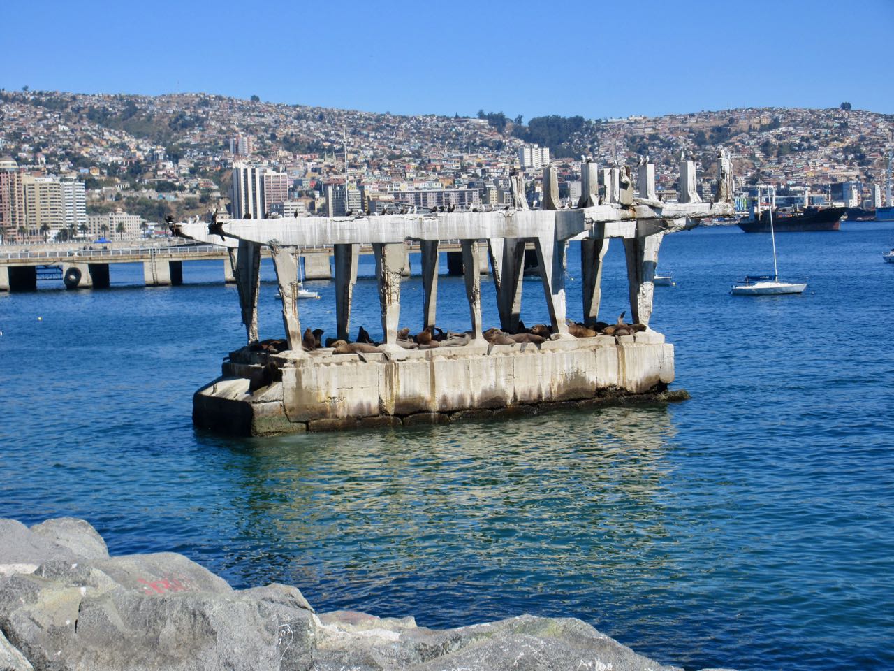
A real highlight near Valpo is watching sea lions close up on this abandoned concrete structure. It’s amazing they can get up there. It’s entertaining to watch them negotiate who gets the prime real estate. And who gets pushed off back into the sea.
The best part was arriving in Valparaíso and joining a free (for tips) walking tour. The daughter of one of the gentlemen in our group had tons of fun sliding down a cement ramp.
All in all I wished I’d — instead — spent my time hiking out at Parque Nacional La Campana.
trip report by site editor Rick McCharles
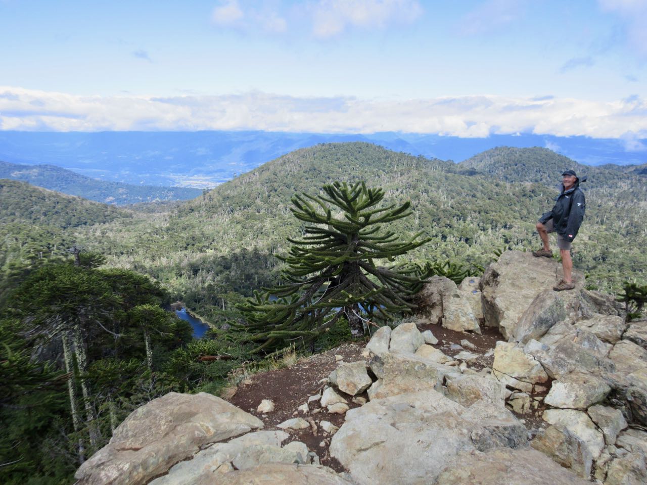
Pucón is the adventure capital of the Chilean lake district. Climbing, cycling, hiking, skiing. You name it.
A super popular day hike is the private nature reserve El Cañi Sanctuary. It’s about an 8 hour day Pucón to Pucón for most people.
1240 metres (4068 feet) ascent.
Click PLAY or watch my trip on YouTube.
A highlight is the unique Araucaria (monkey-puzzle) forrest. Perhaps my favourite tree.
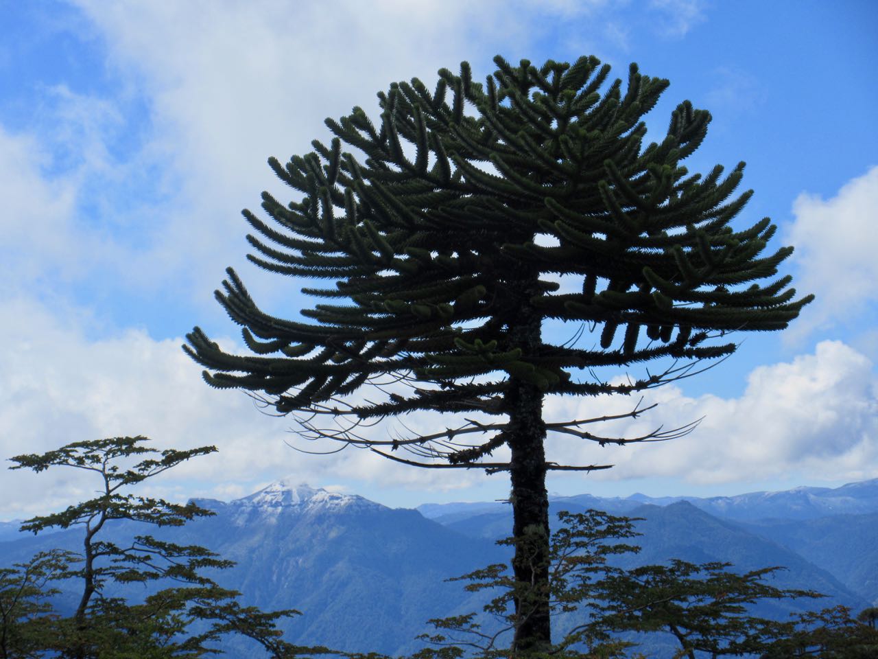
If weather is clear from the summit mirador, you see many volcanoes: Volcán Llaima, Volcán Villarrica, Volcán Quetrupillan and Volcán Lanin.
Almost everyone does this as a day hike. But it’s possible to tent at Laguna Negra or or at the Aserradero hut for about $13 if you prefer.
Another highlight is the add-on Lagunas del Cañi (lake circuit). Some trails are narrow and overgrown.
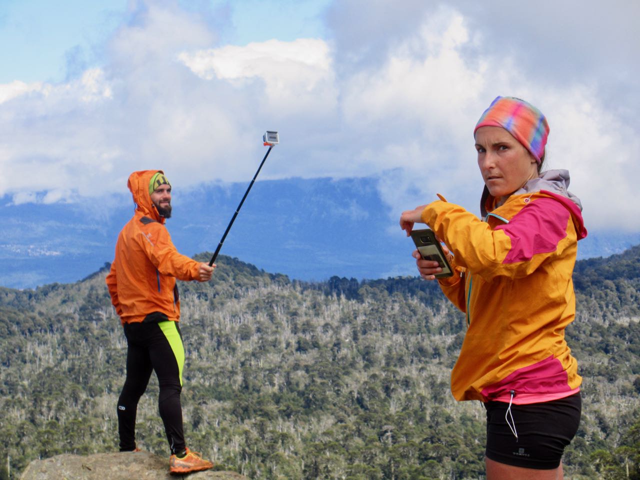
I reached the summit mirador with two trail runners from France. We took photos of one another.
It’s a long way down. Then back to town … or to one of many hotsprings near the trailhead, Termas Los Pozones was recommended. I rushed back to catch a 12 hour night bus.
_____
Most people do this hike independently taking the local bus 13 miles (20 km) themselves. But you can hire a guide in Pucón for about $100.
I got my information from ¡école! Hosteria and Restaurant in Pucón.
Click PLAY or watch Ernest Aymerich’s trip on YouTube.
Click PLAY or watch it on Twitter.
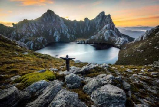
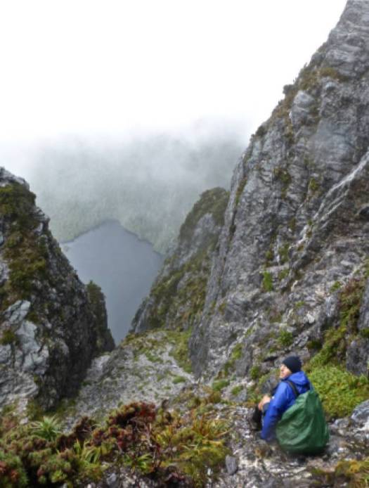
Cam Honan has hiked everything. Everywhere. But for me his most impressive trips have been his extreme Tasmania epics.
Floating rivers on his NeoAir mattress, for example.
For us mere mortals, he summarized his advice on a route called Arthur Range Traverse.
It’s only 48 miles (77km) but will take you 10-14 days, on average. With no resupply. You carry all that food on your back.
If not already decided there’s no way that sounds like fun, click through to …
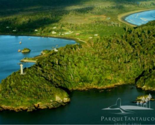
Tantauco Park (Spanish: Parque Tantauco) is a 1,180 km2 (456 sq mi) private natural reserve on the south end of Chiloé Island in Chile.
The park was created by Chilean business magnate and President of Chile Sebastián Piñera in 2005 …
The park is open to the public with two campgrounds and a 150 km (93 mi) network of hiking trails. …
Tantauco Park is an attractive ecotourist destination due to the remarkable biodiversity of its nearly untouched Valdivian temperate rainforest and the rather easy public access. Precipitations in the area average about 2,500 mm (98 in) annually. …
official website – parquetantauco.cl/en/
If interested, stop first at their administrative headquarters & information center in Quellón. Get up-to-date trail conditions. Making bookings there based on the weather forecast
Only about 7700 visited the Park in 2017. It’s not crowded. There are a number of huts available for shelter.
Unlike many other parts of Chile, this is a rainy cold temperate maritime climate.
Click PLAY or watch SOME of this video on YouTube. You’ll get the idea.
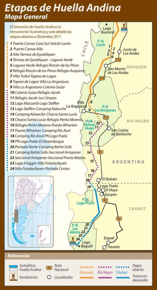
UPDATE from Mariano Rezk:
I walked it myself in January 2017. It is true that the government stopped the funding, but I must disagree about the fact that “a large proportion of the trails are closed”. Only about 5 out of 43 stages are closed (that’s less than 15%).
There’s a lot of room for improvement but Huella Andina is still one of the best ways to hike-thru and discover the argentinean side of the northern Patagonia.
The Huella Andina is a series of routes totalling about 600km. They are not all connected.
Some sections are signposted and marked. Some are not.
There are numerous resupply points along the way.
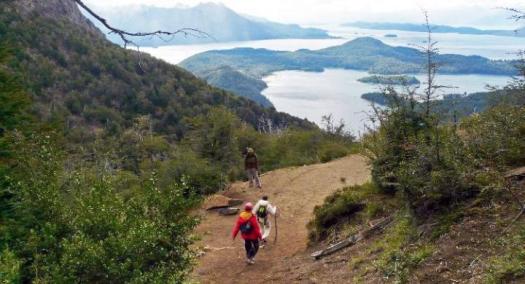
Jan Dudeck:
In 2017 the government of Argentina officially stopped funding the trail project Huella Andina. Some national parks maintain some routes with other funds but a large proportion of the trails are closed and becoming quickly overgrown. Several parts of the Huella Andina were not traversable since the season 2016/2017.
I checked in person with Club Andino Bariloche and the Nahuel Huapi National Park Office about their section of the Huella Andina. It exists. But is far less popular than the other hikes.
They gave me a free map of the Huella Andina showing about 27 hours of hiking over 4 sections. Difficulty of those sections was rated easy to severe. In fact, a parks officer recommended hiring a guide for the 10 hours between Refugio Jacob to Los Cesares.
In addition, there’s a section of road walking.
Click PLAY or watch 18 days of highlights on YouTube.
___
Huella Andina connects to the Greater Patagonian Trail on the shore of Lago Puelo. Adventurers might try to loop sections of the two new long distance hikes.

If you want to know more check Wikiexplora – Huella Andina (Spanish)
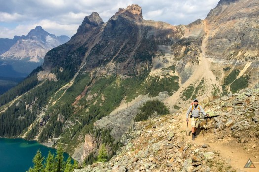
The most beautiful place in a beautiful place. Nearest international airport is Calgary, Alberta.
So popular that it’s difficult to get a reservation to camp.
MB Guiding has everything you need to know to make it happen.