Back in 2009, Thinlas Chorol set up the Ladakhi Women’s Travel Company, which has the distinction of being Ladakh’s first travel company completely owned and operated by women. It is also known for promoting ecotourism. …
… With the encouragement she received at SECMOL (Students Education and Culture Movement of Ladakh, an organization that helps educate children from remote regions of Ladakh) and the support of her American English teacher, Thinlas went on to gain some commendable professional expertise.
She attended a mountaineering course at the Nehru Institute of Mountaineering (Uttarkashi) and spent a semester at the National Outdoor Leadership School (NOLS) in Ranikhet, Uttarakhand, where she picked up wilderness and leadership skills. …
Since then, many Ladakhi women have approached her to train them as trekking guides and, today, the company has 8 guides, 4 trainees and 20 employees in all. …
The app offers offline support for both guided and independent trekkers.
Guest post by Ashish Shrestha:
Phuraphuti Sherpa runs the homely Namaste Lodge at Monjo, one of the many small villages that trekkers pass through on their way to Everest Base Camp.
The number of trekkers is close to fifty thousand per year, but only a handful know the fact that Phuraputi also runs a small kitchen garden and serves organic vegetables to her guests.
As she says, “I run a small lodge but I make sure every trekkers leave happily when they go. I even grow my own vegetables and serve organic food. I hope that now even small lodges like mine get equal opportunity to be noticed!”
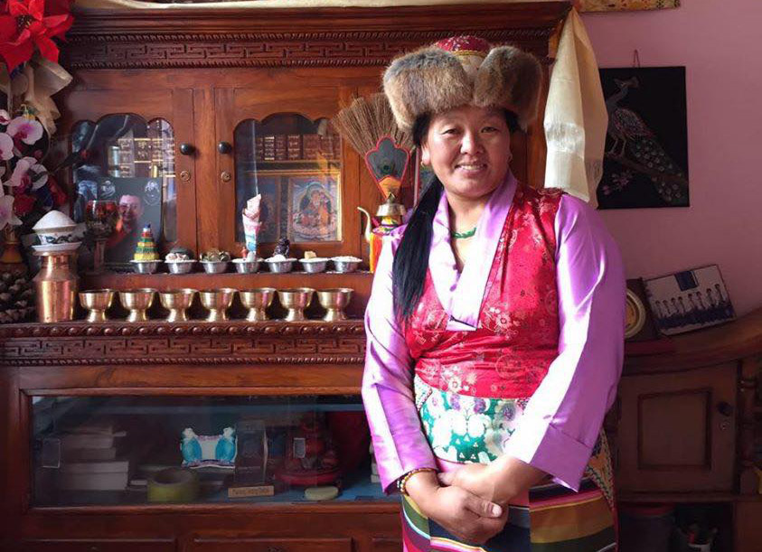
In traditional dress for the photo.
She is one of the 80 lodges in the Everest Region that has signed up for HoneyGuide, an online community that connects mountain lovers with people who depend on the mountains for their livelihood.
The inspiration behind HoneyGuide is to:
Make sure that porters, guides, and lodges get paid equitably and get business transparently.
Make sure that trekkers get enough options and information to run a trek the way they see fit: from going independent without any bookings to a fully guided trek.
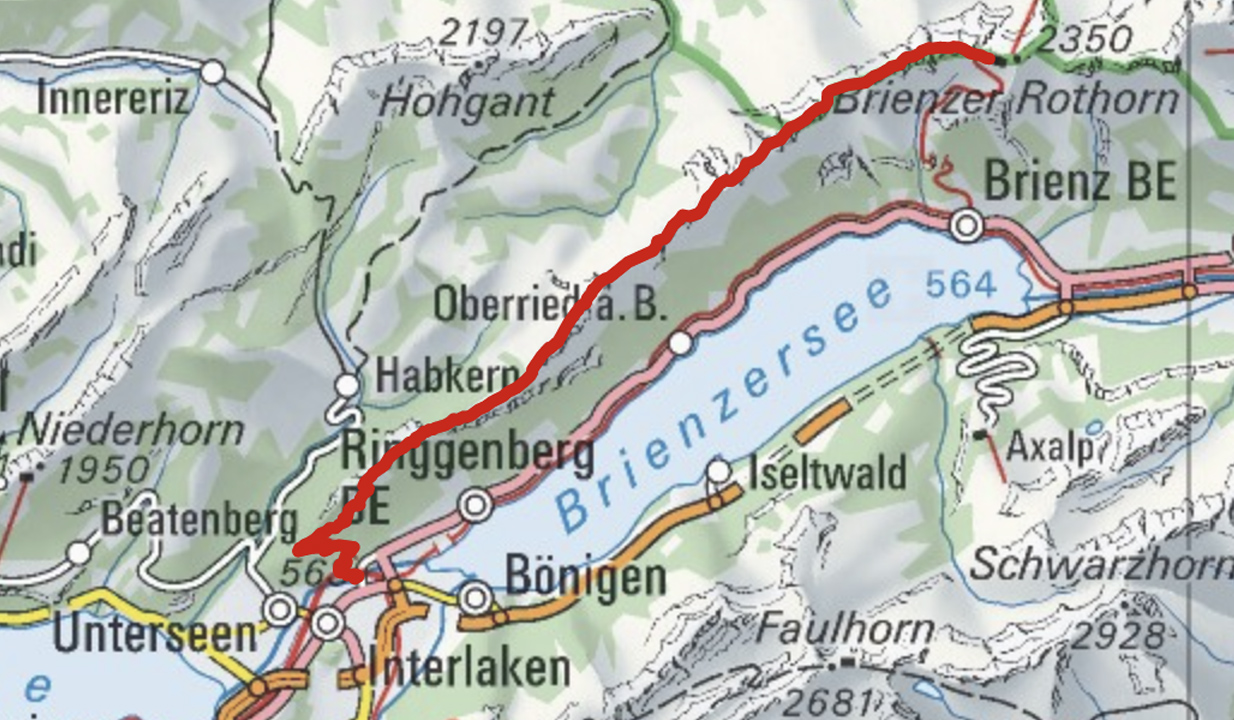
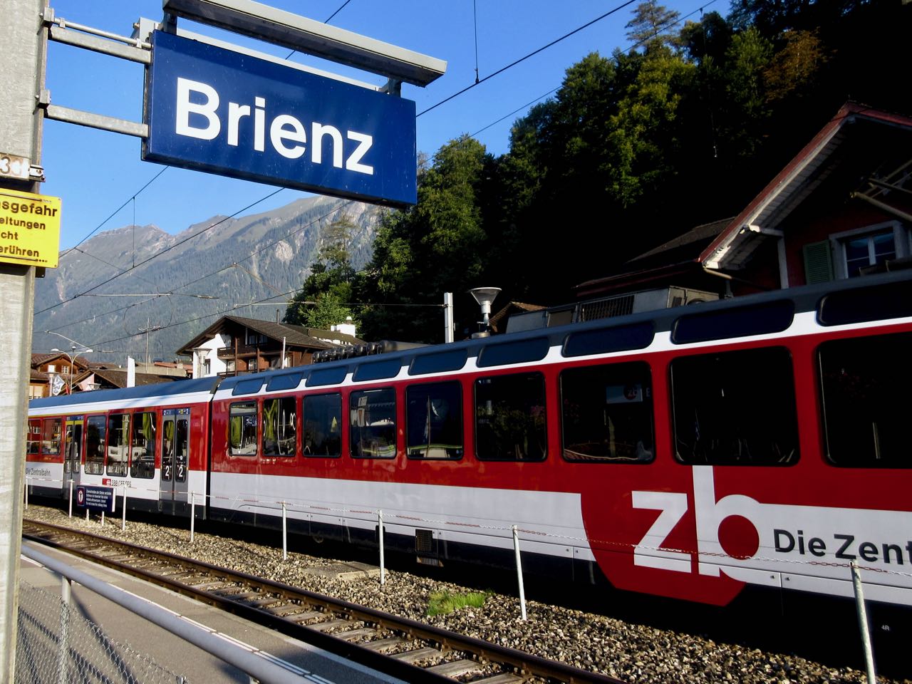
Brienz to Interlaken with rail assistance getting up to and descending from the ridge
Don’t hike the other direction. Logistics are easier starting in Brienz. And it’s safer as the last 2 hours (when your legs are tired) is on easier trails.
I got up early in Interlaken, ready for my free hostel breakfast starting 7am.
Every half hour a train runs from Interlaken to Brienz for 8.20 francs (2018).
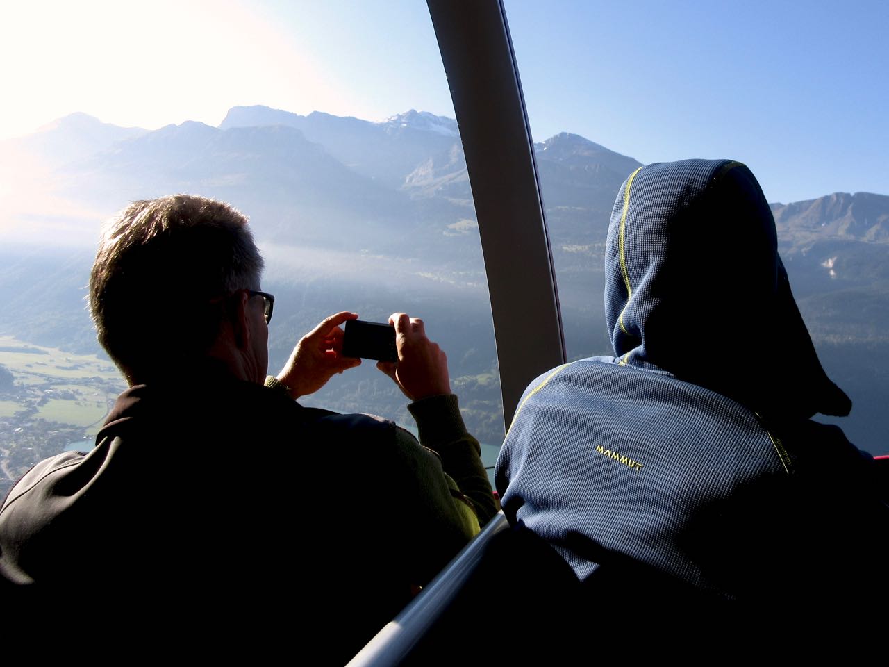
Happily I made the first steam train — 8:36am — from Brienz to Brienzer Rothorn Station. It’s been making this run since 1891.
Price is reduced to 28 francs for the first train (2018) to encourage folks to get as early a start as possible on their hike.
At 9km / hour it takes an hour to get to the top of the ridge 2351m.
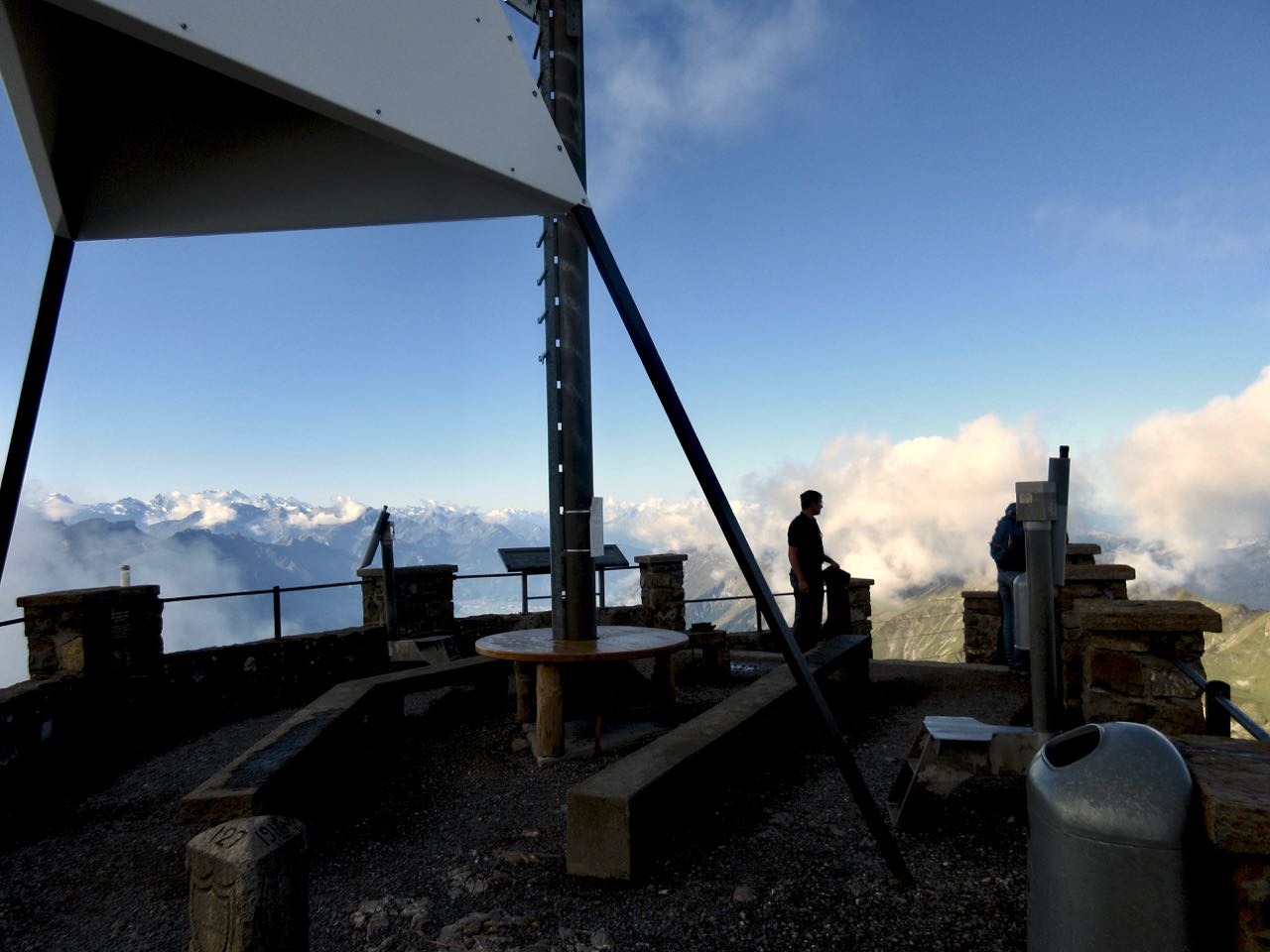
If clear, you can enjoy distant views over to Jungfrau highest peaks; the Eiger, Mönch, Jungfrau, Schreckhorn, Finsteraarhorn.
I climbed up to the viewpoint. This is as far as most tourists hike.
Looking down on Brienzer Rothorn Station.
At 10am I started to walk back to Interlaken. I would have about 11.5 hours to make the last teleferico down from Harder Kulm Restaurant. Otherwise I’d have to walk down in the dark.
You can’t really get lost. Follow the ridge no matter what.
The weather was perfect.
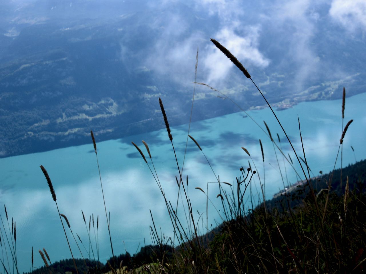
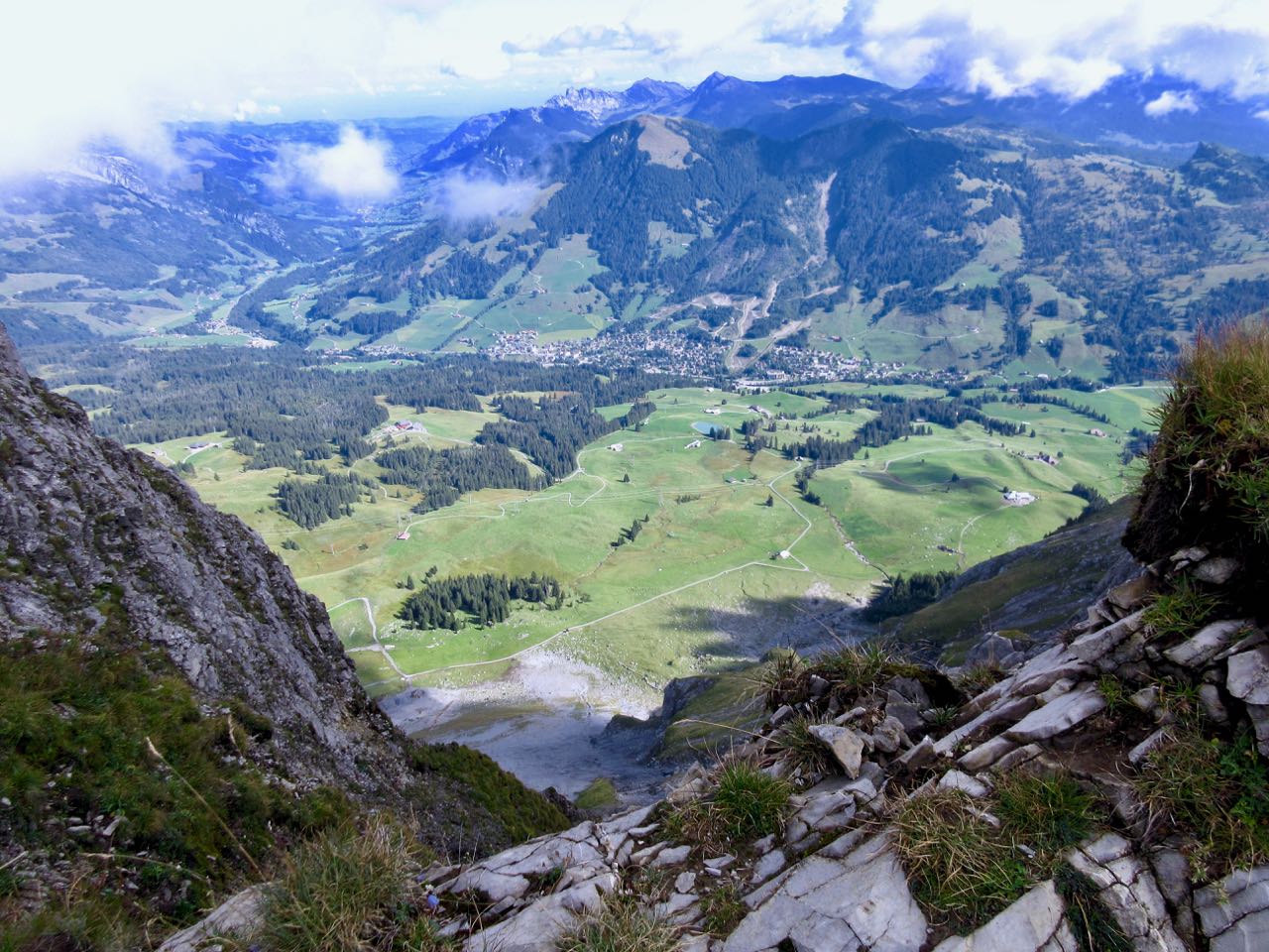
You have Brienz lake on one side …
… and Swiss foothills on the other.
I loved it instantly.
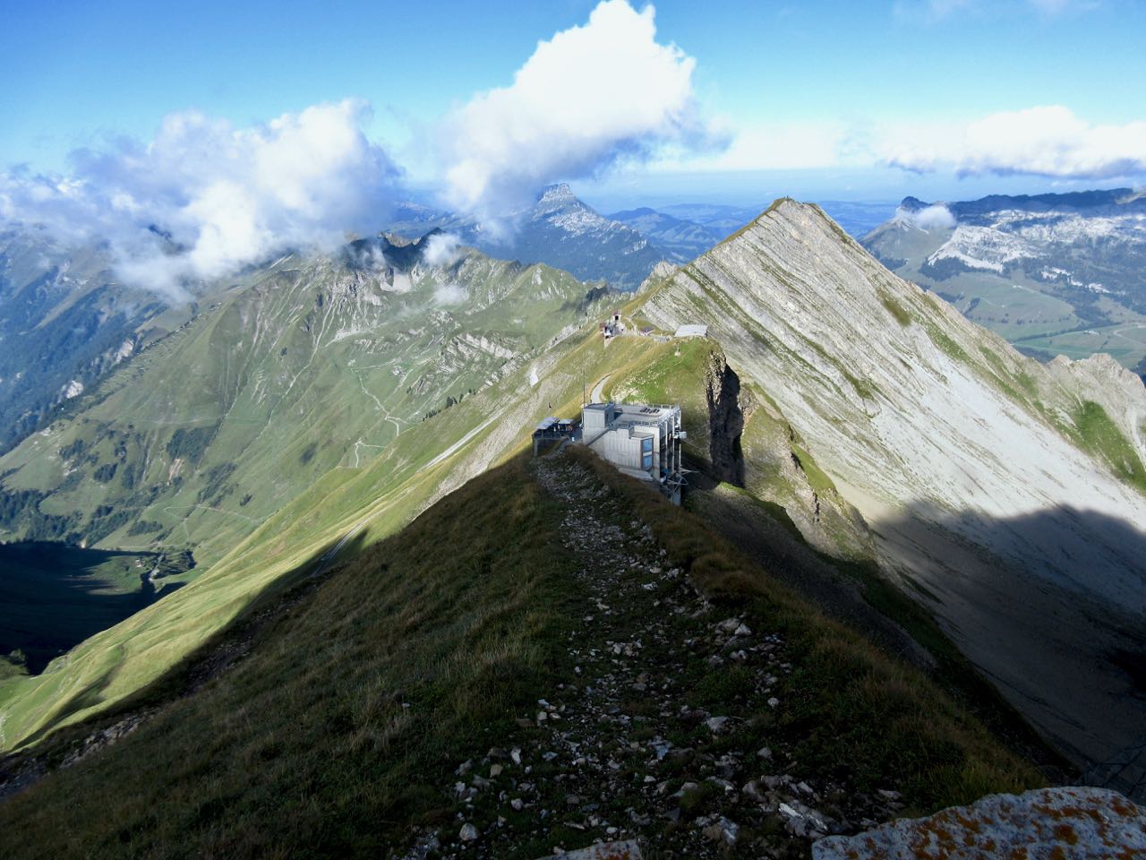
Most of the time the ridge is not all that intimidating.
It often looks worse than it turns out to be.
I’d heard everyone who comes up here sees ibex. … Are these ibex?
This adventure is more popular with trail runners than with hikers as they can easily make it in less than 10 hours.
I took very few breaks. Other than checking the GPS on my phone, I had no idea whether I was moving quickly enough to finish in time.
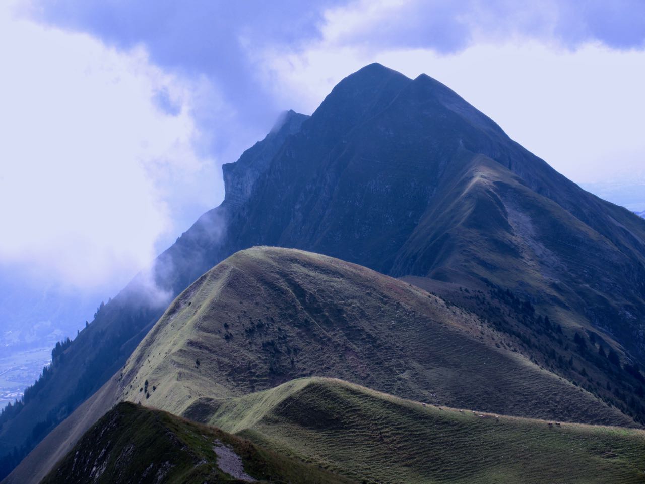
Each time I’d climb a high point on the ridge, even higher points would come into view.
I don’t think I saw another person over the first 5 hours.
Sadly I seemed to be a lot closer to Brienz than Interlaken.
There are sections with stairs, cable and chain assistance. These would be most useful when down climbing in wet conditions.
Hmm … I might finally be past half way.
I tried to quicken my pace on the easiest sections.
There are many more day hikers on the Interlaken end of the ridge. They assured me I’d make it on time.
Interlaken
The last 2 hours stays on the ridge, but you are mostly in the trees. It was the least interesting section … but I was pleased to have less exposure as my legs got tired.
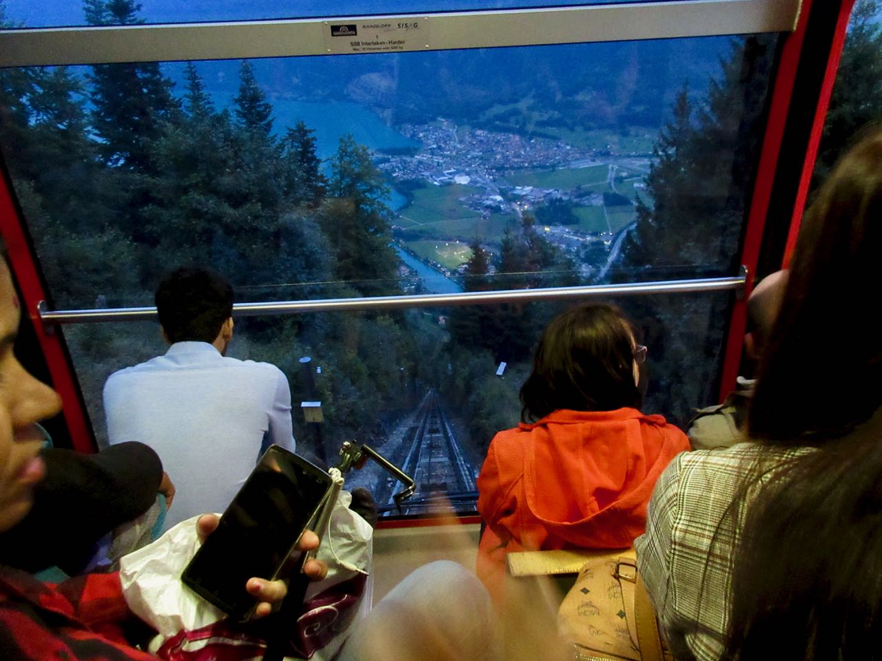
Here it is at last. Harder Kulm Restaurant.
The last funicular descends at 9:10pm. If it’s busy they may run until 9:40pm.
I gladly paid 16 francs and found the short trip down very interesting.
It was dark by the time we arrived Interlaken.
And I was quite dehydrated. I’d brought only 1.5 litres with me. I could have used about 3 litres.
When I got back to the hostel I announced it was the best day hike of my life.
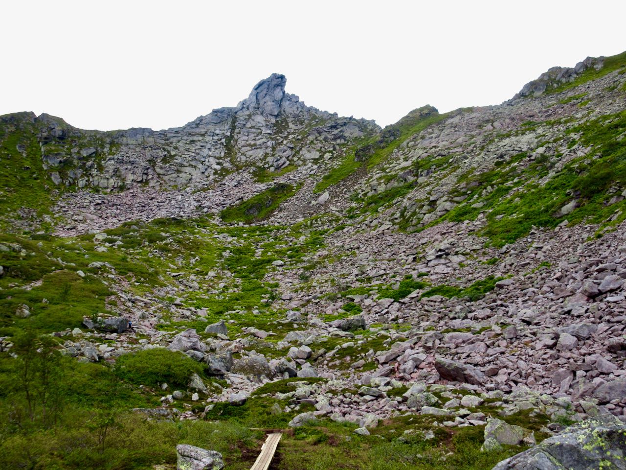
Lofoten is without question one of the best hiking destinations in the world.
Bunes Beach hike
But it’s remote.
Also, Norway is very expensive.
The gateway for most people is the town of Bodø, the end of the train line north. It’s often cheaper and easier to fly as the train is a 17 hour overnight journey.
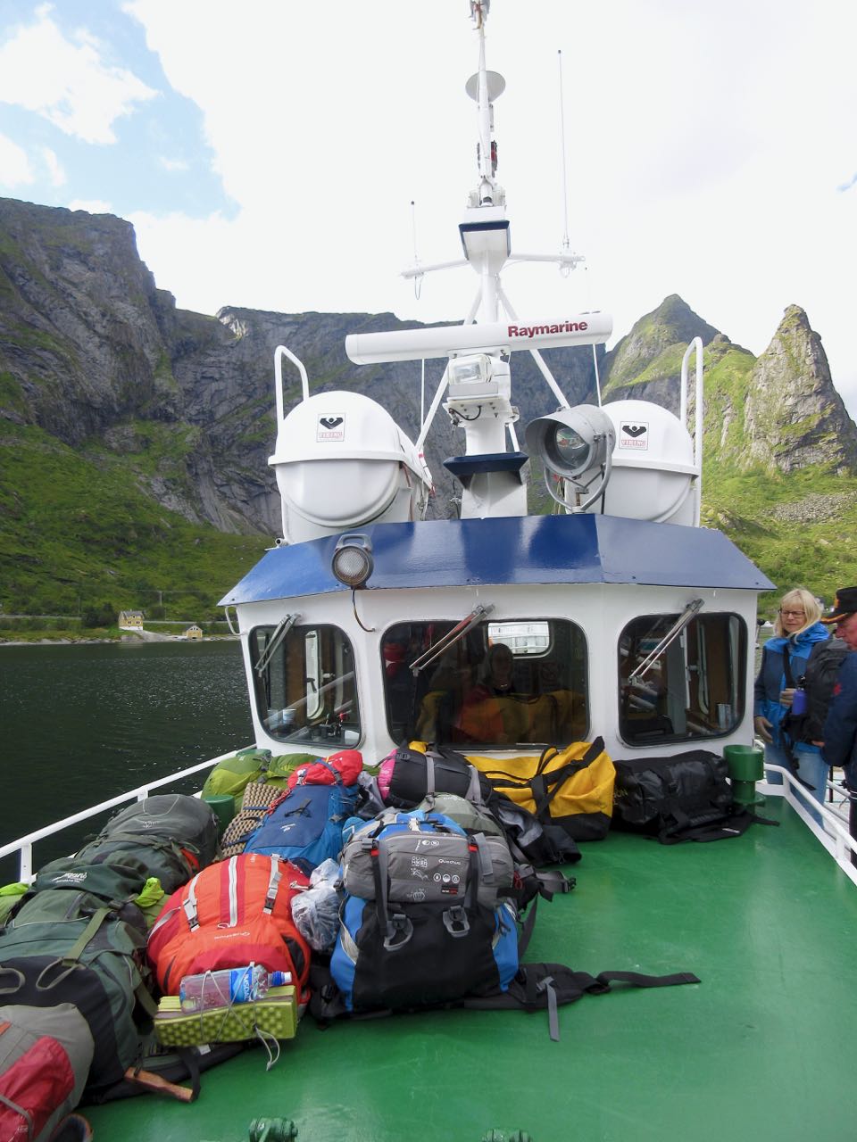
From Bodø you have options. If you don’t have your own transportation easiest is to make a loop by ferry and bus.
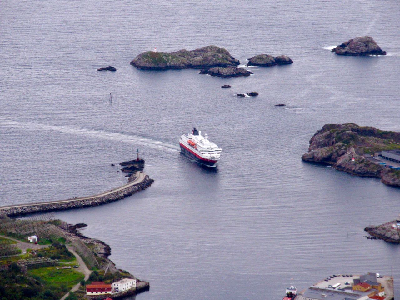
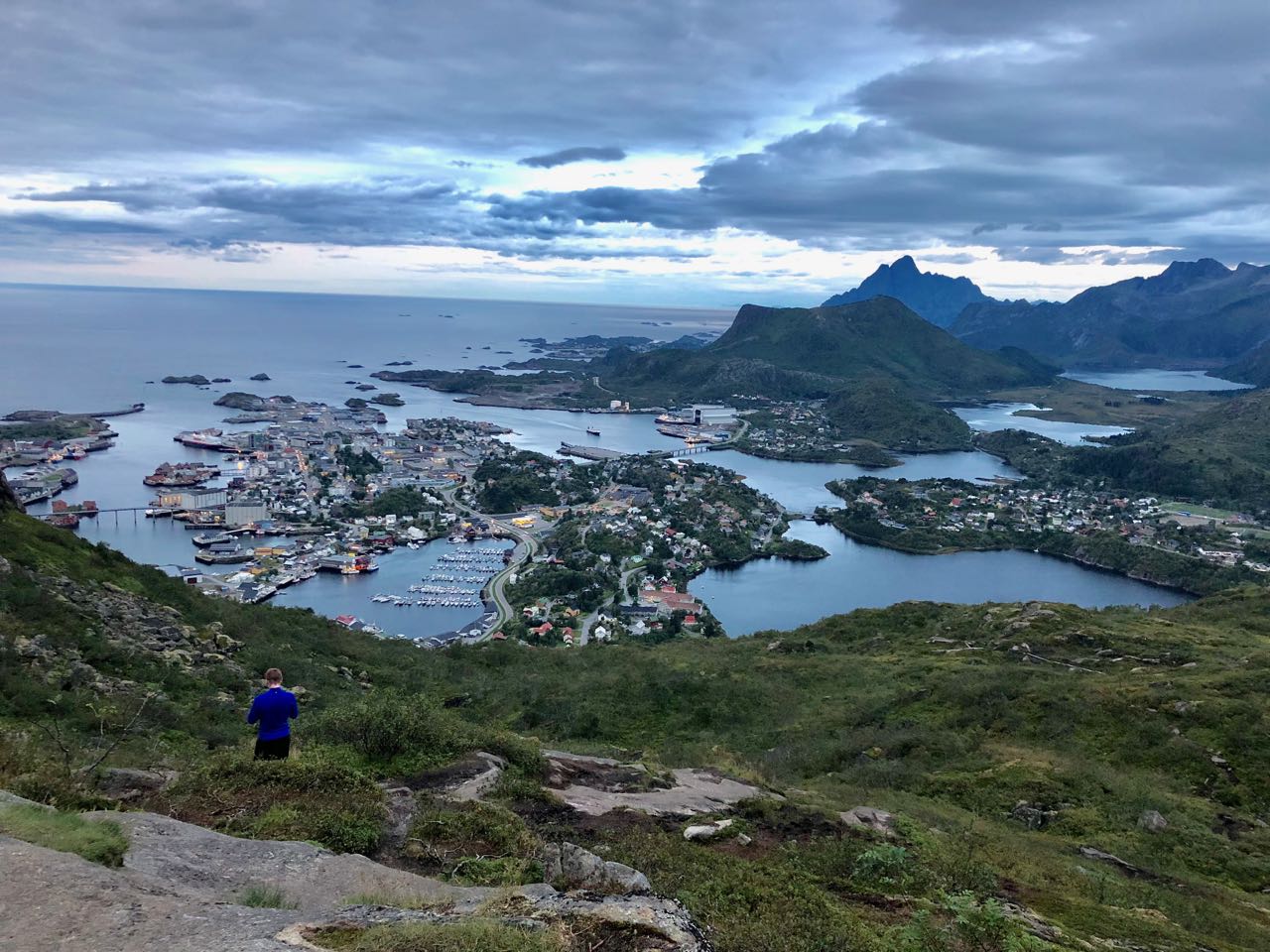
Take the fast passenger ferry Bodø to Svolvær. About 4 hours.
Your first hike should be Fløya & Devil’s Gate. The trailhead is about a half hour walk from the ferry landing.
From Svolvær you would take buses or hitchhike the only highway west through islands A to V to F to M.
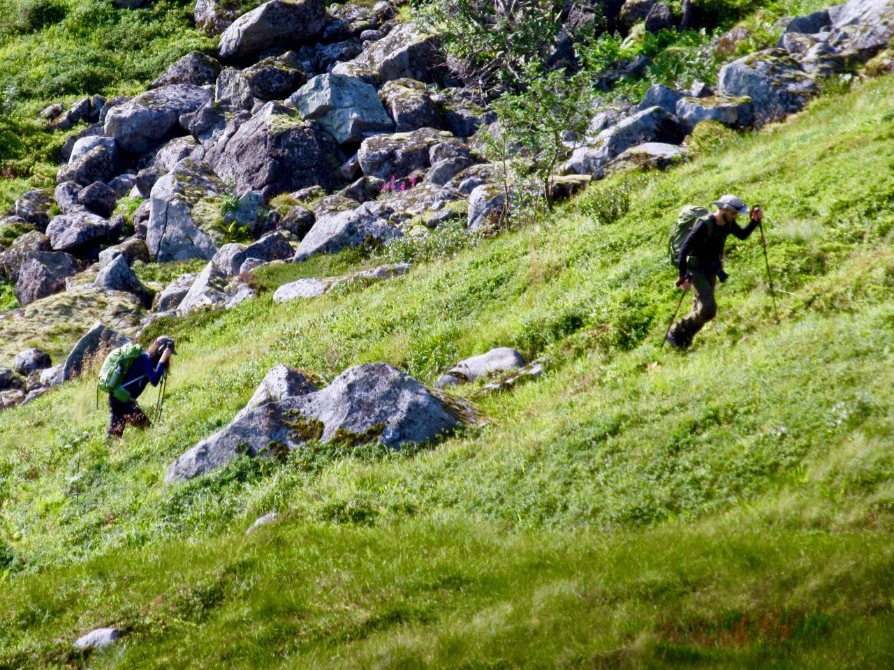
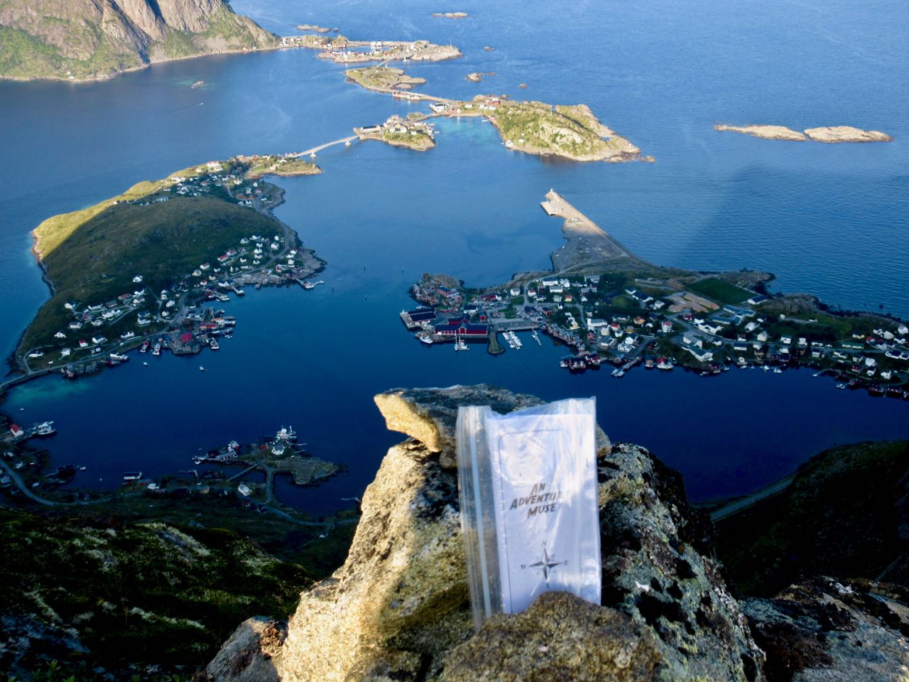
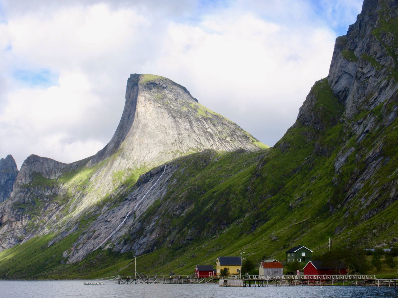
M Moskenes (Moskenesøya) has the best hiking. Save it for last.
Reine is the best base town for Moskenes. You can do 3-4 awesome hikes out of the same town.
From the village of Å (the last letter of the Norwegian alphabet) you can catch the slow ferry back to Bodø. About 4 hours.
The weather is dreadful. For any 7 day period during the hiking season you may have several days of serious wind and rain. These should be rest days if you have time.
If you have your own vehicle — or decide to rent a car — you can go when and where you want. That’s ideal.
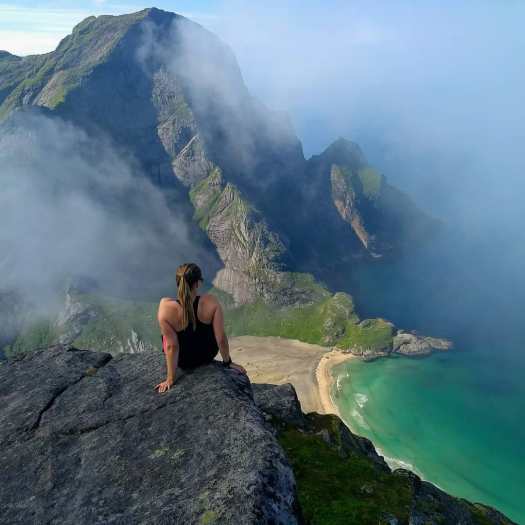
My first hike in stunning Lofoten above the Arctic Circle was a great one — Bunes beach.
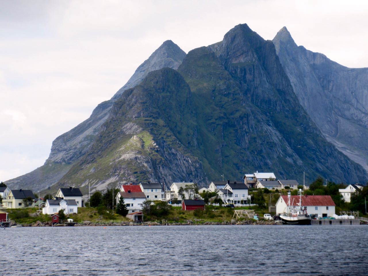
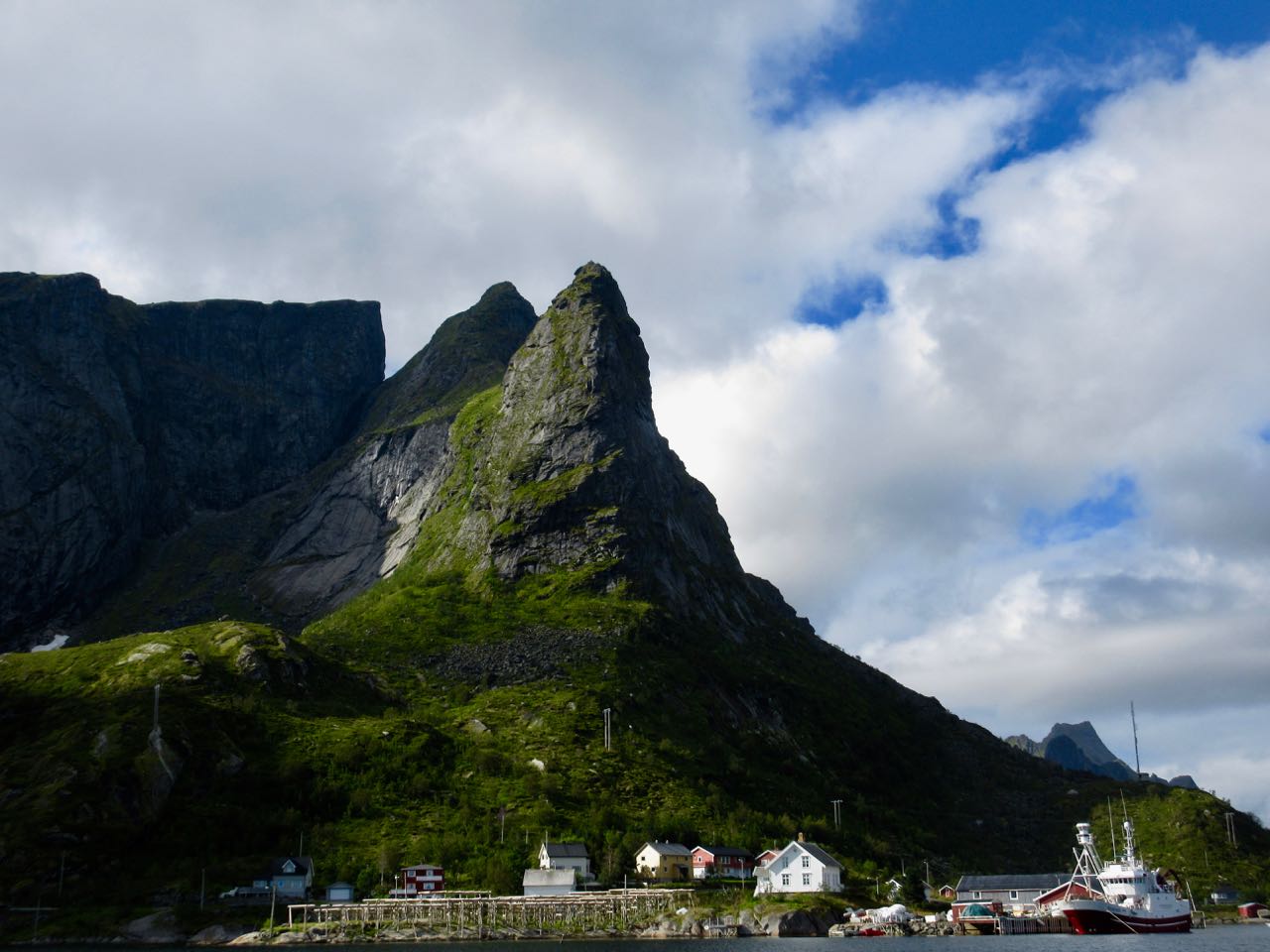
The weather atypically gorgeous in Reine.
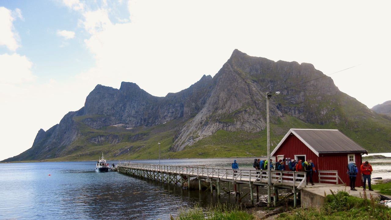
From here you catch a ferry to the end of the Bunesfjorden.
A Norwegian hiker told me he had this beach to himself on a sunny July day 9-years-ago. No more. It’s super popular in 2018. Our boat was packed.
Half the passengers were stuck like sardines in a can below deck. The other half sat up top. Yep … I was front and centre savouring the scenery.
The ferry was at least as good as the hike itself.
I’ve seen some amazing mountains. Dolomites. Yukon. Patagonia. But I can’t recall seeing so many astonishing peaks anywhere else. They were carved by huge, powerful glaciers.
Of two or three potential trailheads, most hikers alight at Vinstad.
Most dashed straight up the old carriage road to the beach to set up their tents.
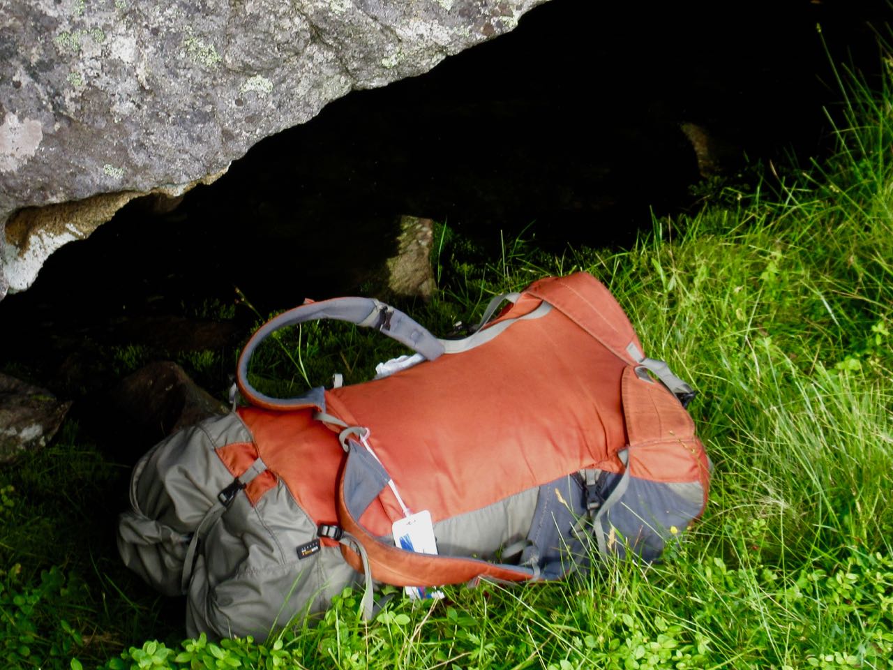
I stopped, instead, at the pass for lunch.
Stashed the pack …
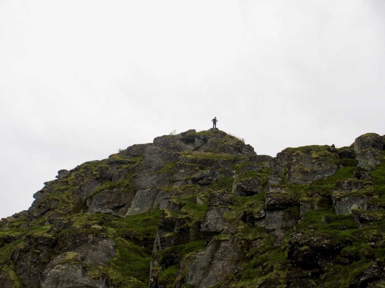
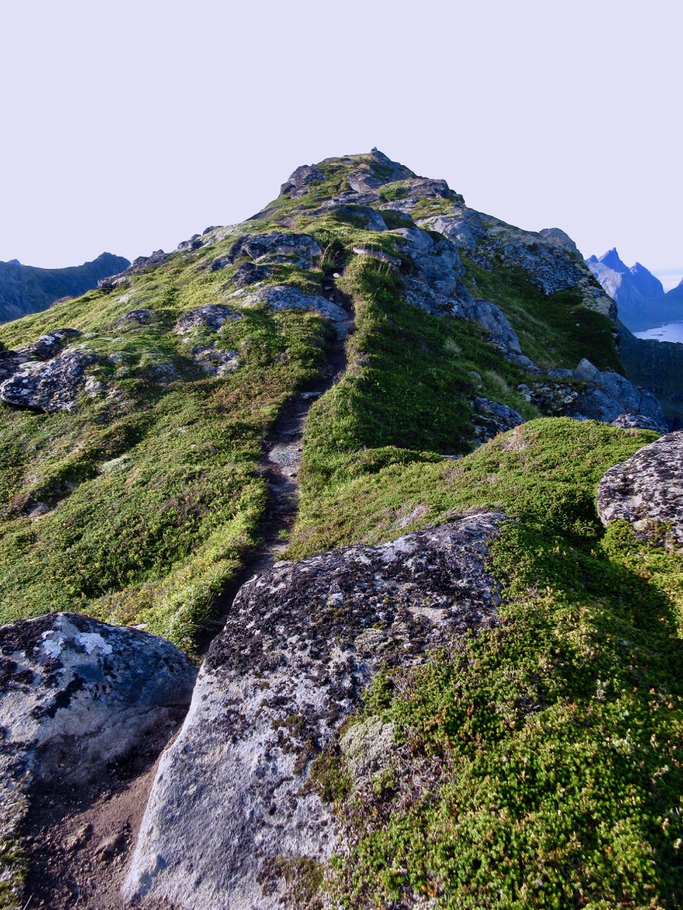
… then headed up Hell’s peak.
Actually it was easier than it looks.
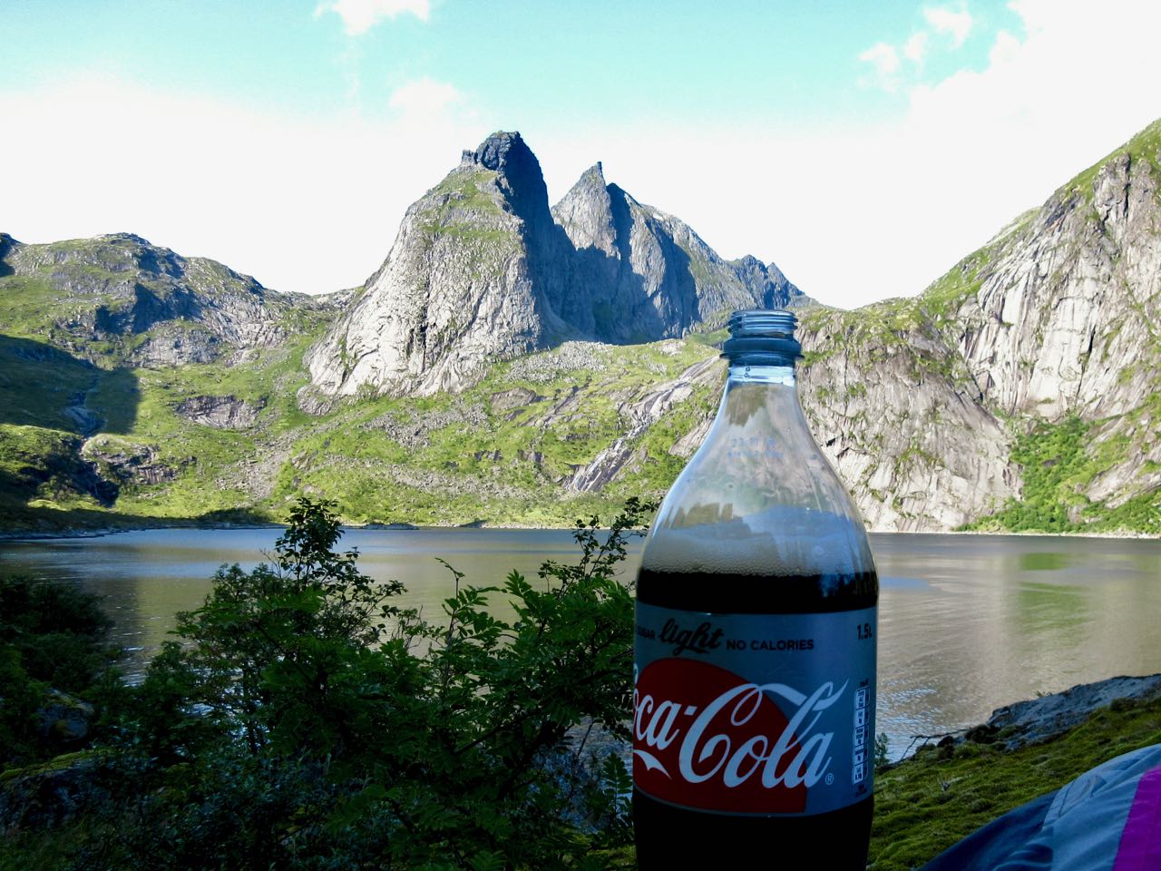
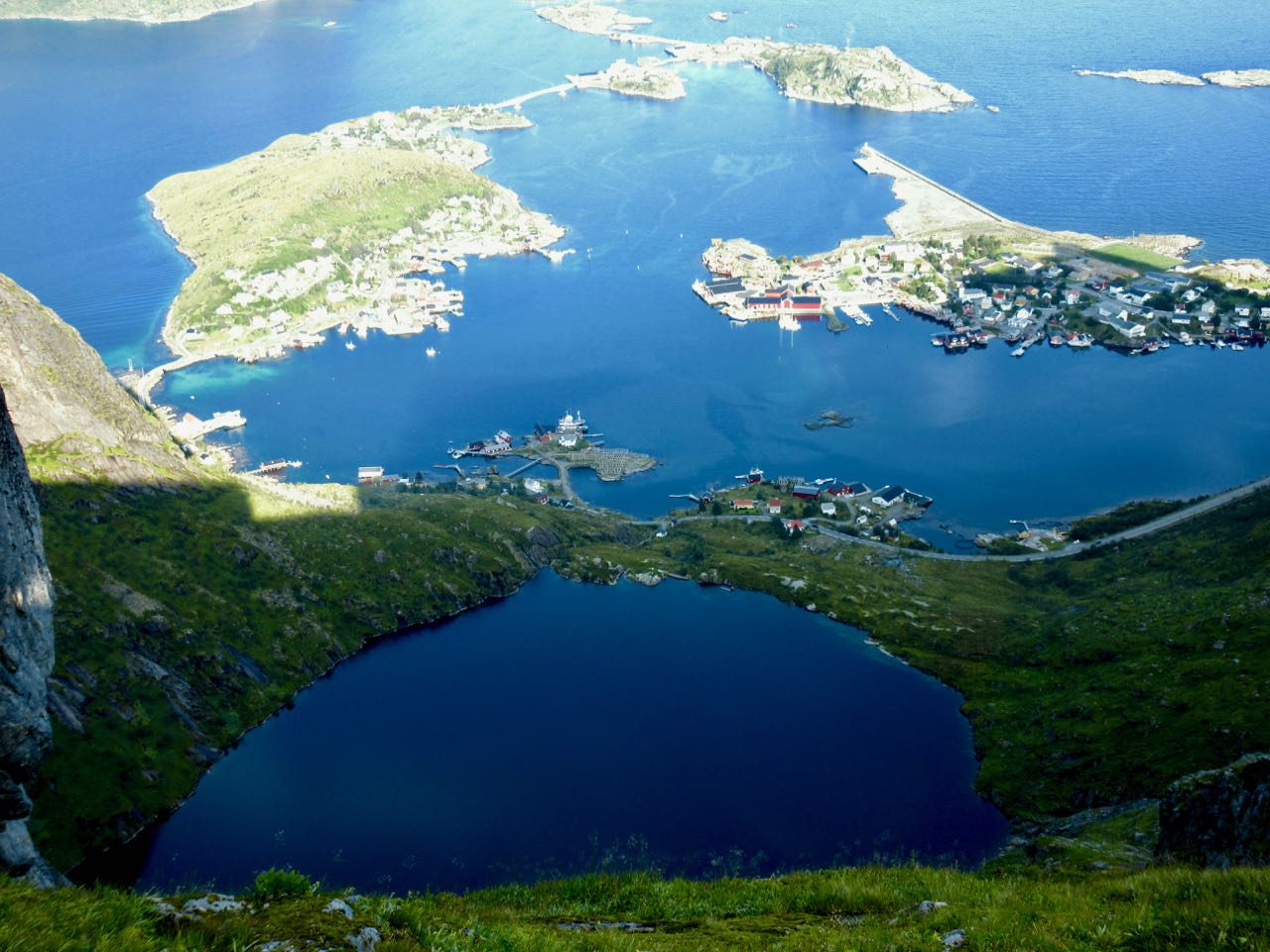
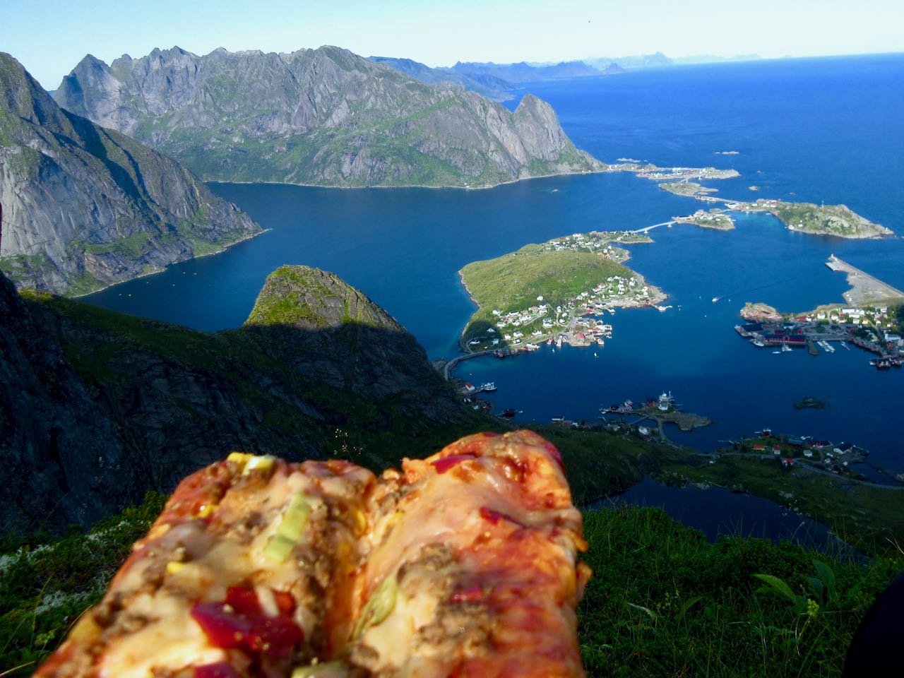
This is Helvetestind (Hell’s peak) 602MASL (metres above sea level). That’s the beach below.
You can see Reine looking back down the fjord.
I took my time coming down.
Lofoten is gorgeous in so many ways.
Bunes beach is huge. I dropped my pack and went exploring while I still had sunlight.
Everyone sets-up under this huge wall.
Next morning I was first up and gone. I sat up on the pass enjoying my coffee in the sun while it was still shady down on the beach.
As a result I got back to Vinstad early.
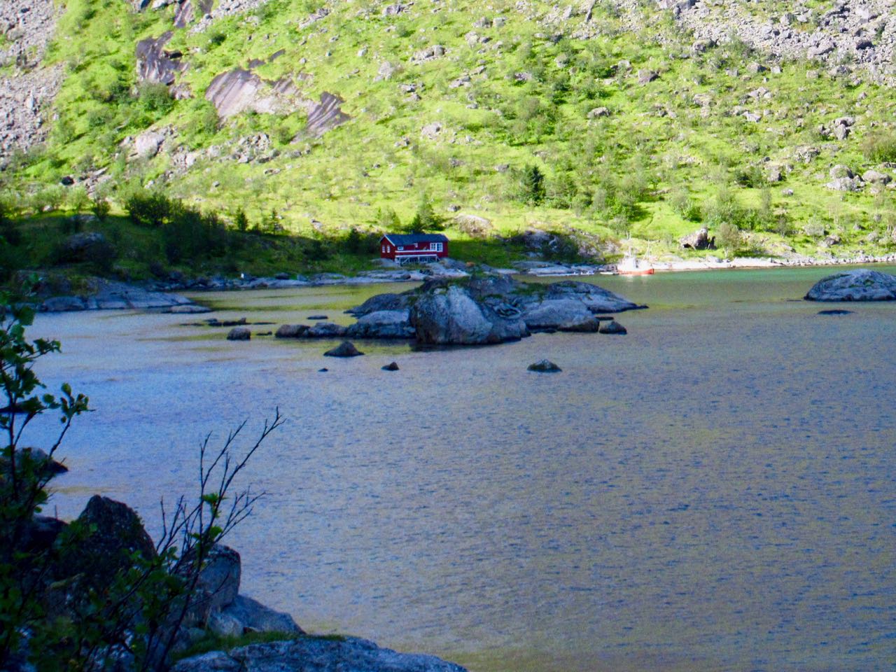
People live here. I went exploring.
Homes are literally cabled to the ground to keep them from flying away during strong winter storms.
While waiting on the ferry a packraft stopped by. The German adventurer was going to try an off-trail climb for the second day in a row.
Less crowded, everyone got to stay up top on the return.
Reine is beautiful. A good kayaking fjord.
Reine is the best base town on the Lofoten Islands for me. You can do 3-4 great hikes like this from here.
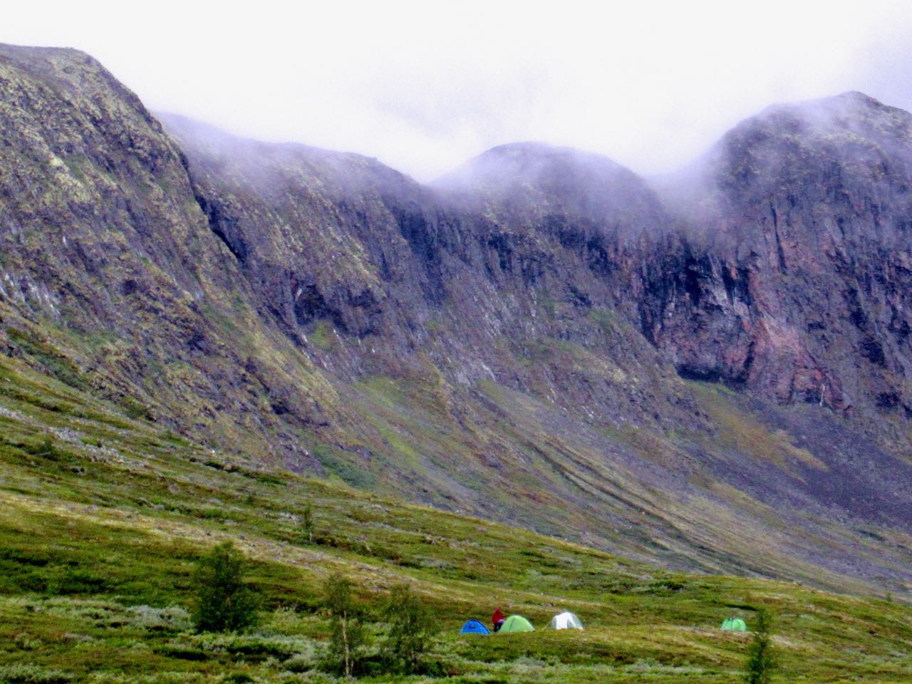
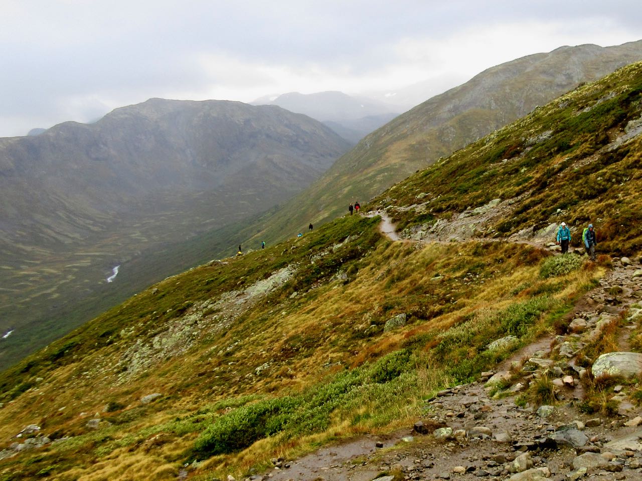
You walk between Memurubu and Gjendesheim. Both offer lodges and camping. Independent hikers tend to camp outside the official campground area at either. That’s free.
I camped for free.
The vast majority bus in or park at Gjendesheim. Then take the Besseggen Boat. There’s no real reason to book in advance online.
You can hike the other direction but the down climbs are slightly more dangerous that way.
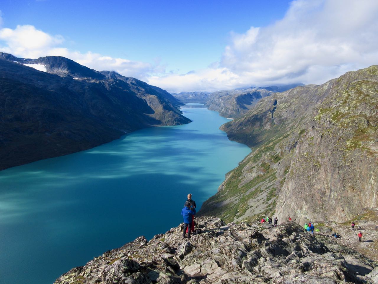
This is Norway’s most exciting National Park: Jotunheimen the “Home of the Giants“.
Camping free at Memurubu.
Besseggen is recommended from the end of June to mid-September. During those months more than 30,000 hikers make the adventure. You won’t be lonely in high season.
Many bring dogs on leash.
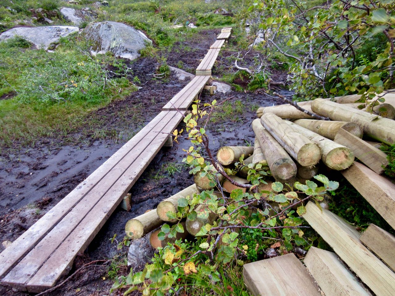
The route is well signed. You won’t get lost.
The morning I was there it was foggy on the long slog up.
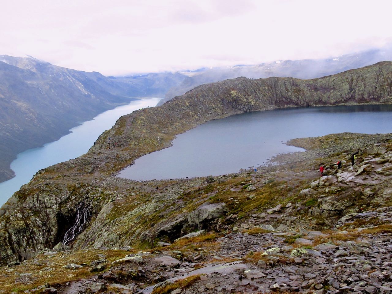
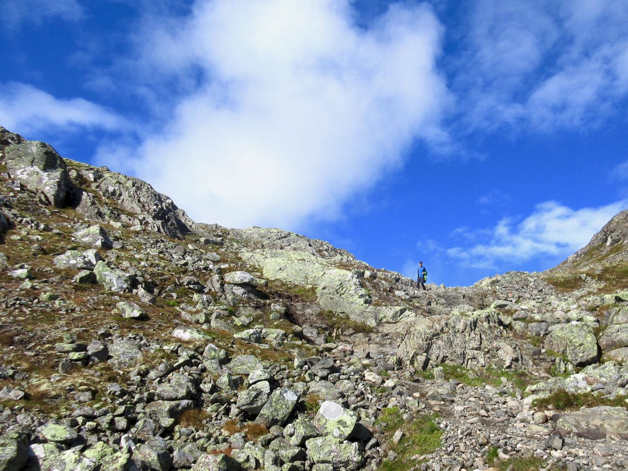
One you get up on the ridge views are awesome.
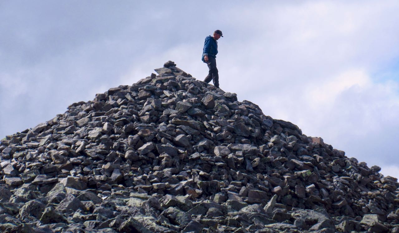
I left a Summit Stone at one of the cairns.
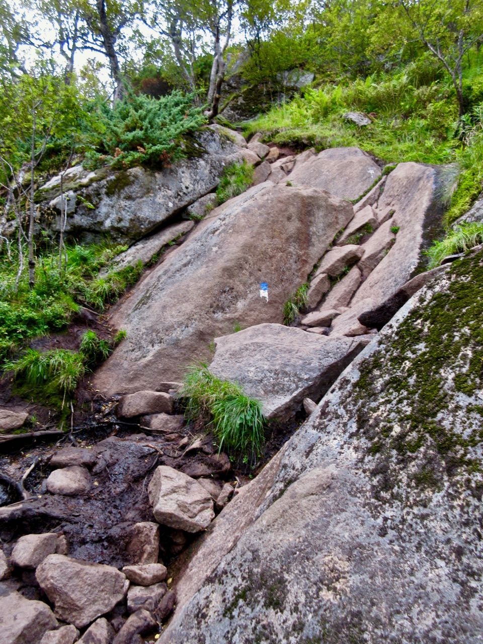
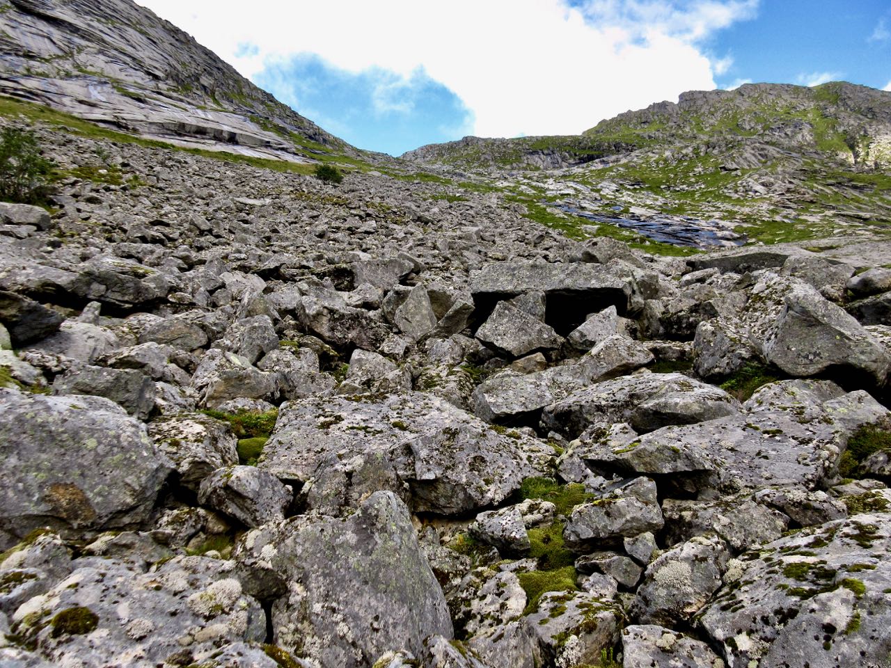
Footing is rocky but offers traction everywhere except steep, wet down climbs. Those are dangerous.
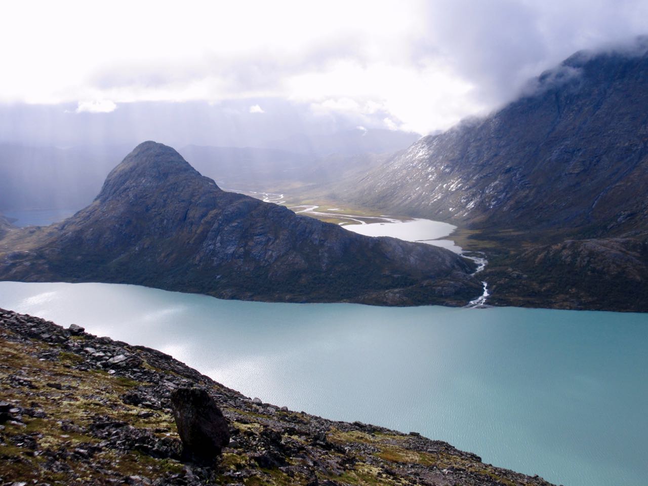
As promised, the weather cleared. I love this kind of bleak beauty.
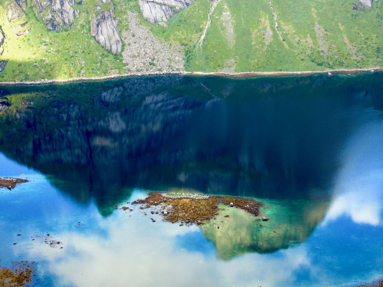
Looking back at the long lake. It’s turquoise due to rock flour.
The last 4km back to the start are sometimes flat and easy, sometimes challenging scramble. There is a chain assist at one point.
Besseggen is definitely one of the best day hikes in the world. I’ll never forget it.