AKA Thousand Palms Oasis Preserve.
Trip report by BestHike editor Rick McCharles
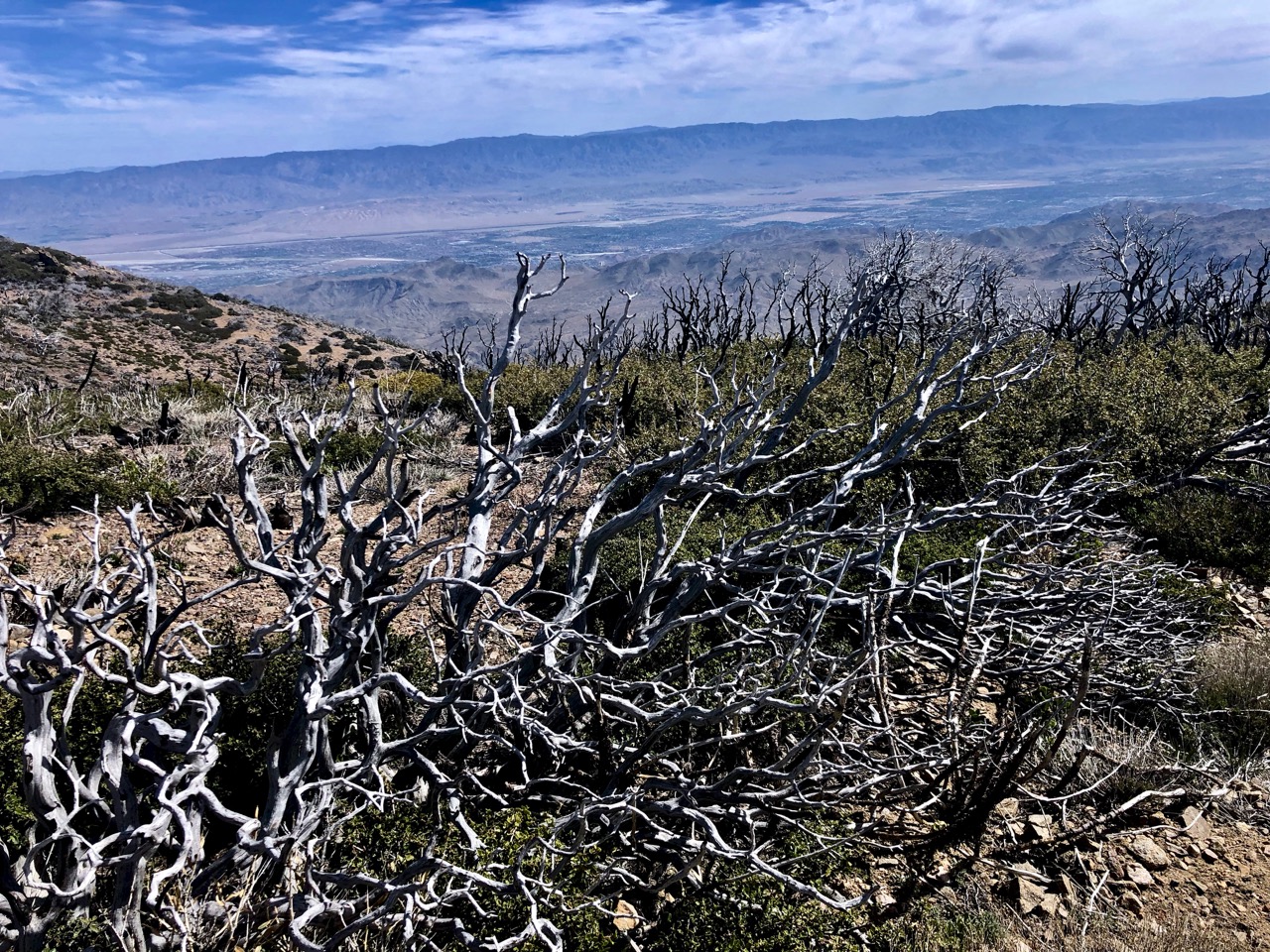
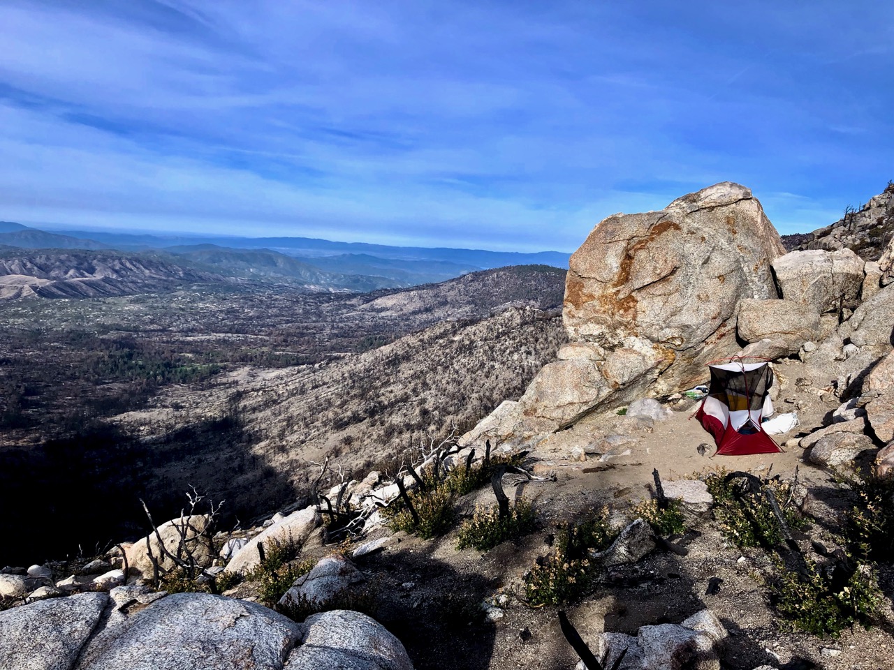
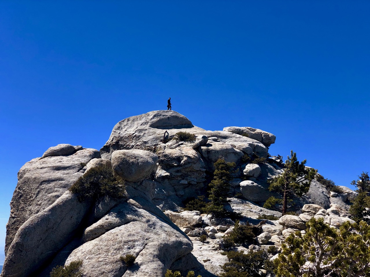
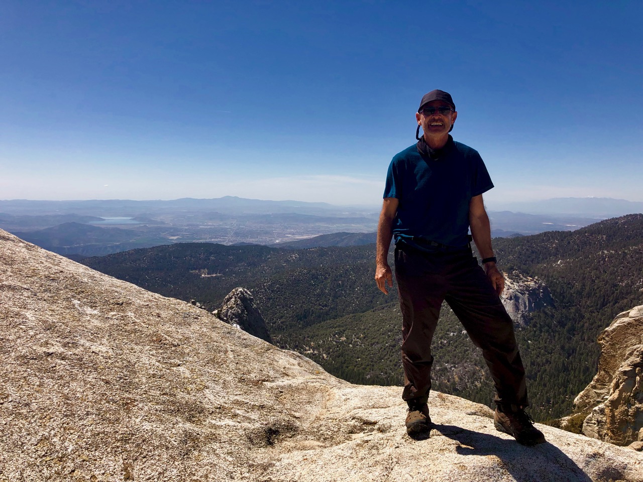
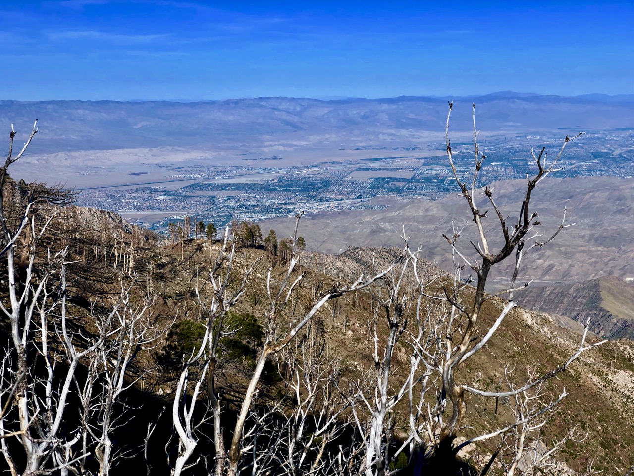
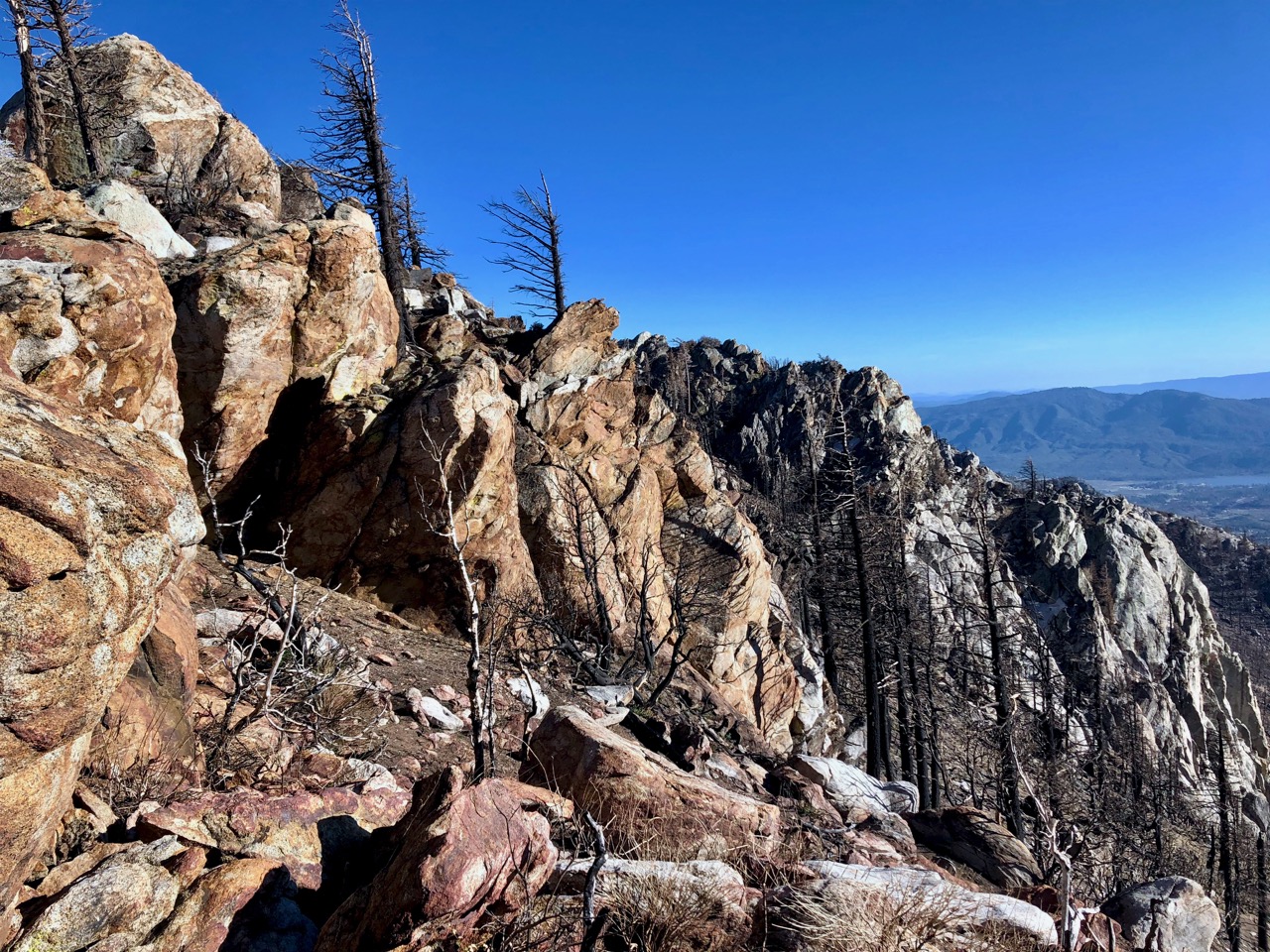
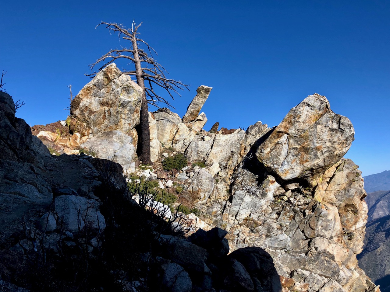
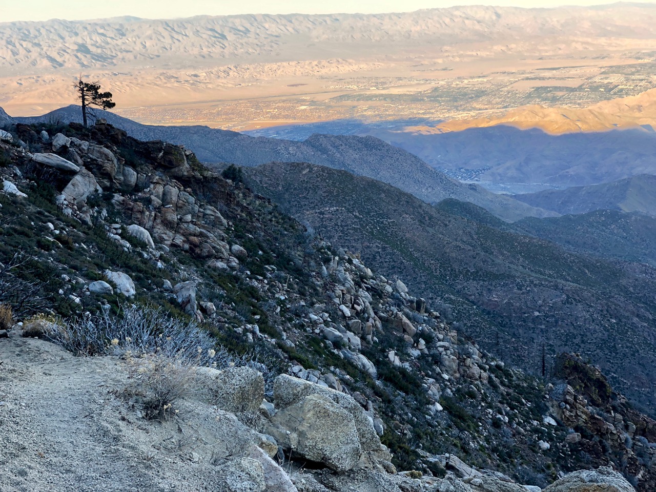
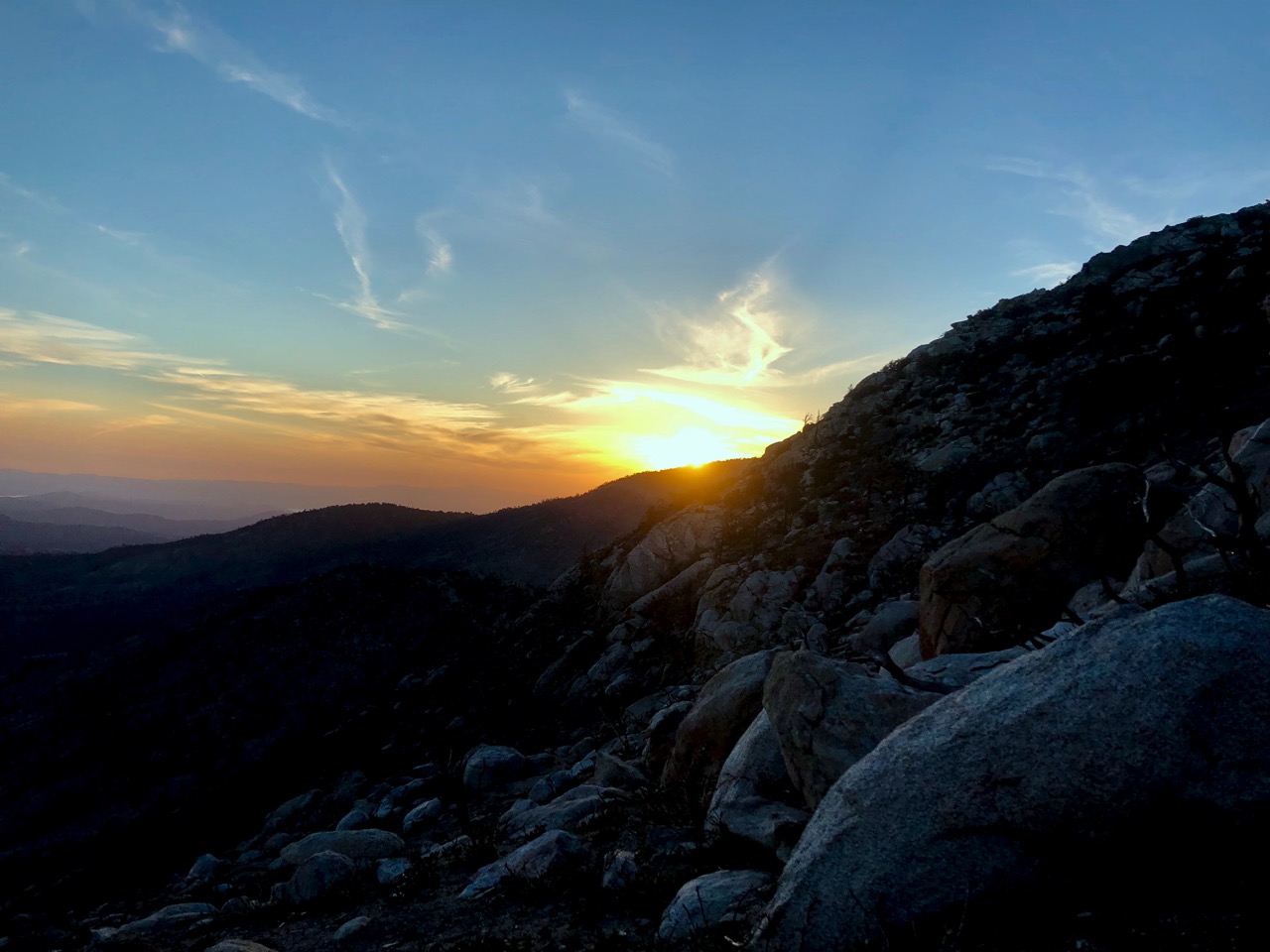
I’d wild camped up high overlooking Palm Springs.
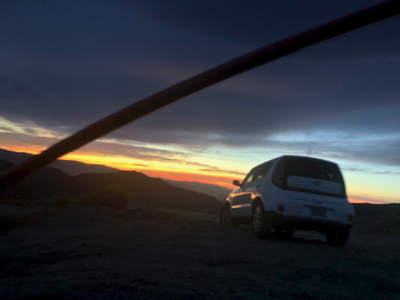
Next morning I headed for Coachella Valley Preserve before it got too hot.
Entrance by donation. Owned and well-managed by The Nature Conservancy, Bureau of Land Management, Wildlife Service, California Department of Fish & Game and California Department of Parks & Recreation

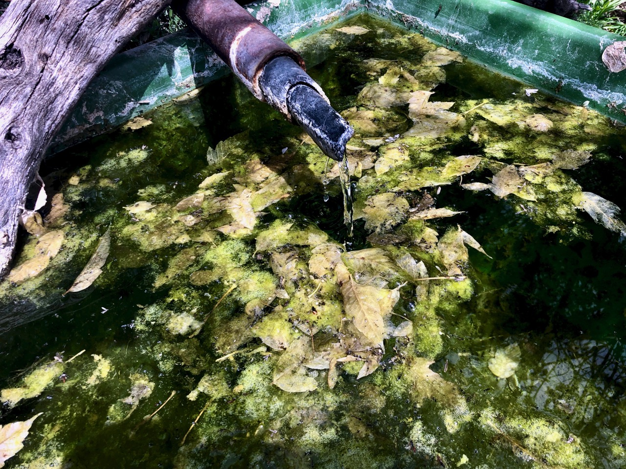
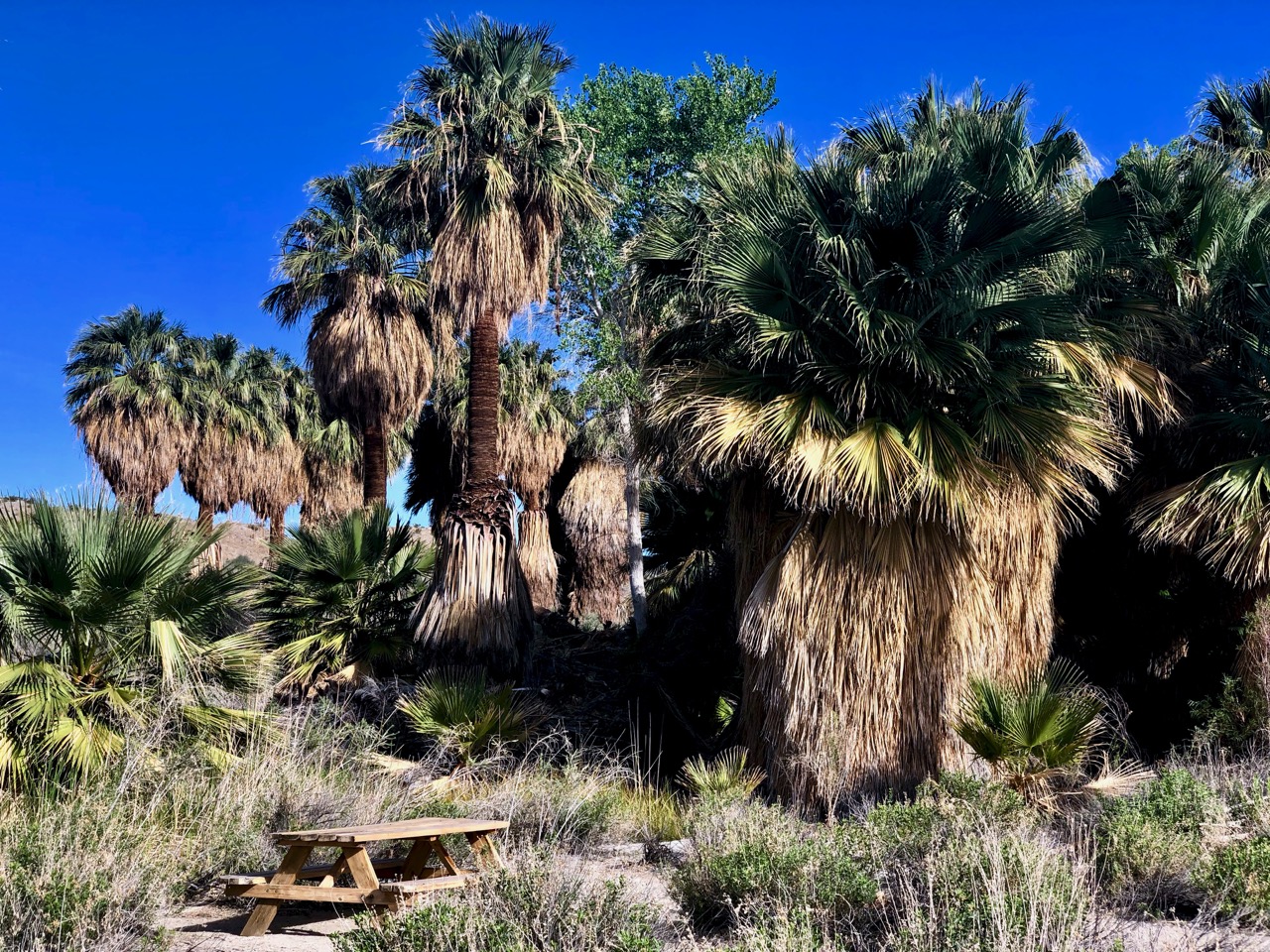
On the San Andreas fault-line, underground springs force water up to the surface.
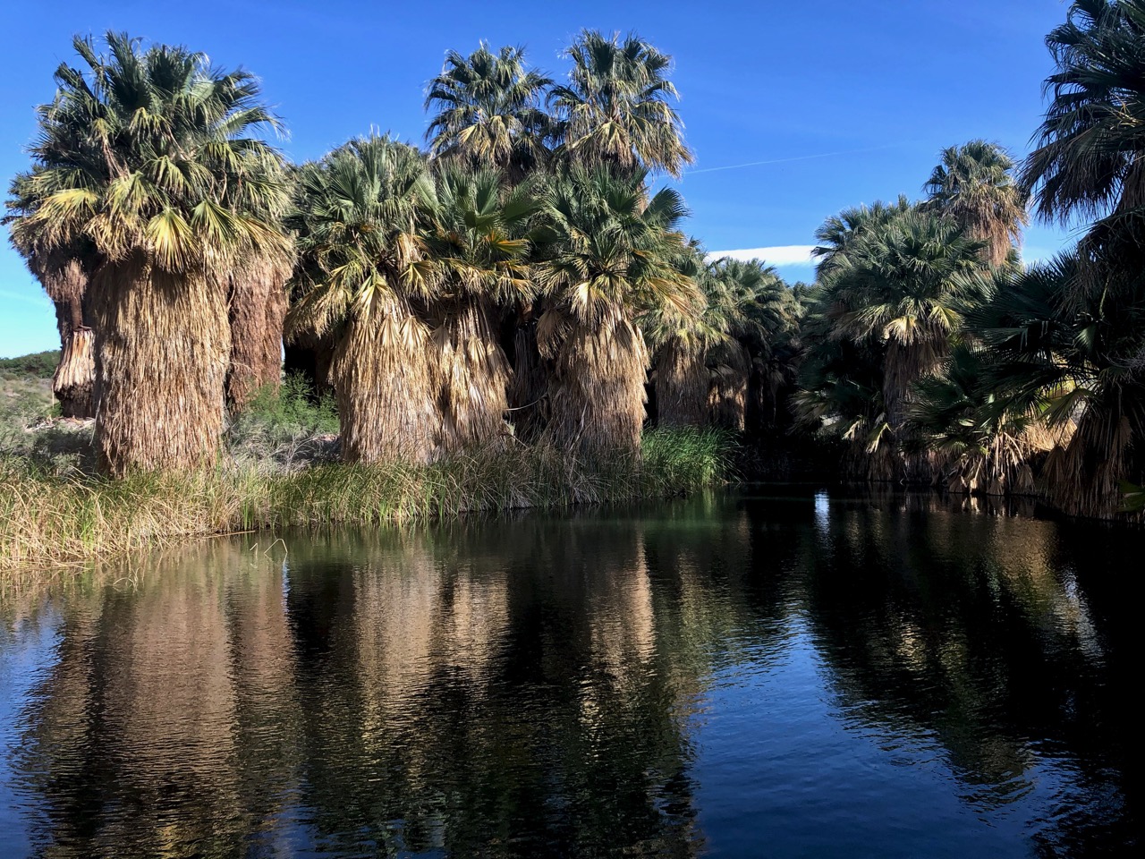
Most visitors walk about 2 miles round-trip on the McCallum Trail to McCallum Grove.


It’s an interpretive walk with plant species identified.

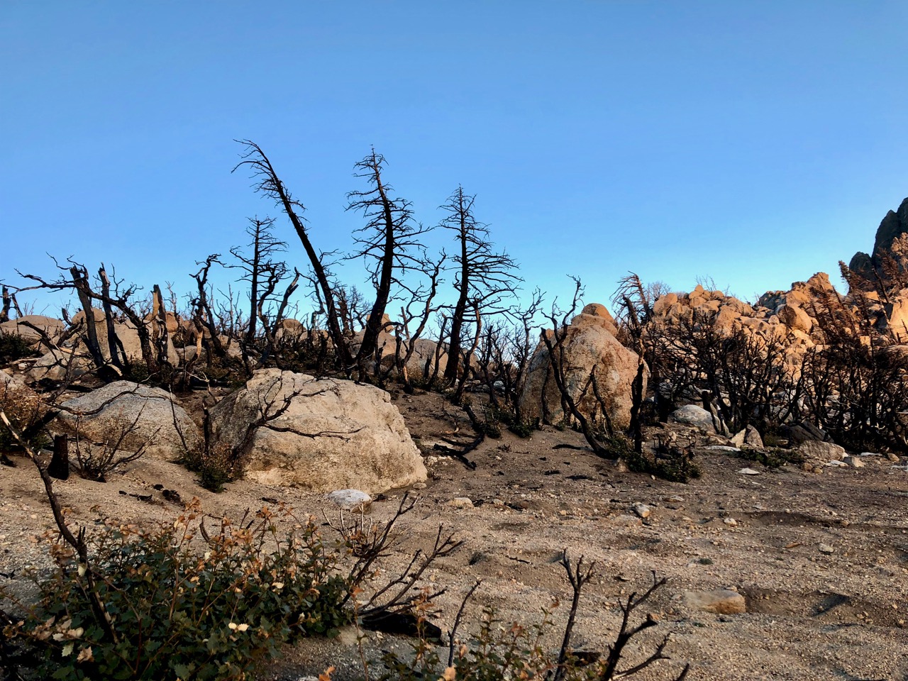
I was told the Preserve was recently closed due to flooding — and wildlife quickly returned.
McCallum is closed, as well, during the heat of the summer (May 1 – Oct 1).
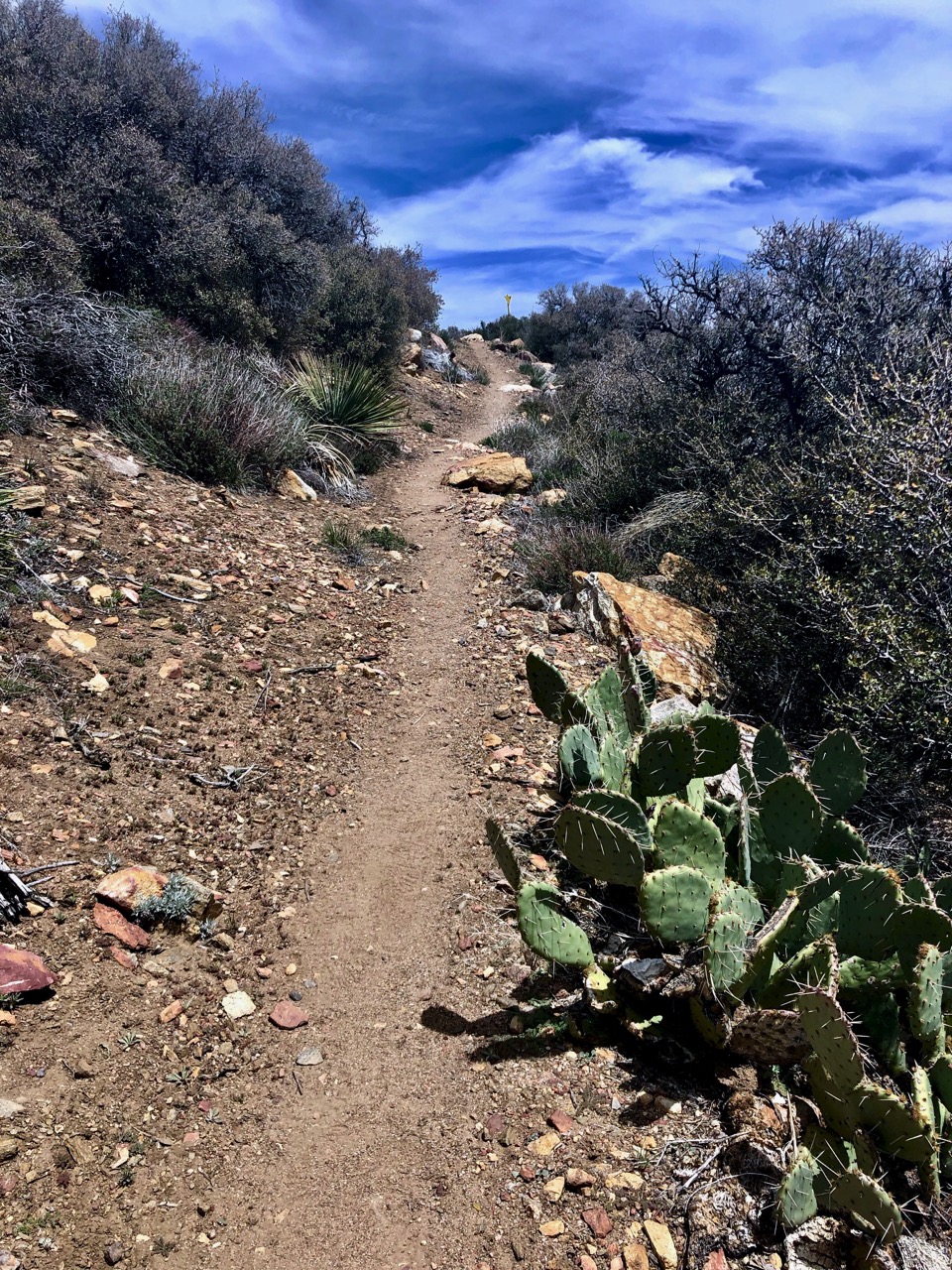
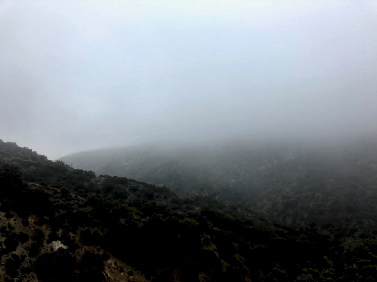
There are actually 28 miles of trails (easy to moderate) and I continued out into the desert out into Moon Country.
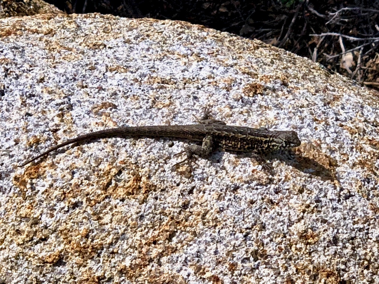
Almost immediately I ran into the first rattlesnake of my life.
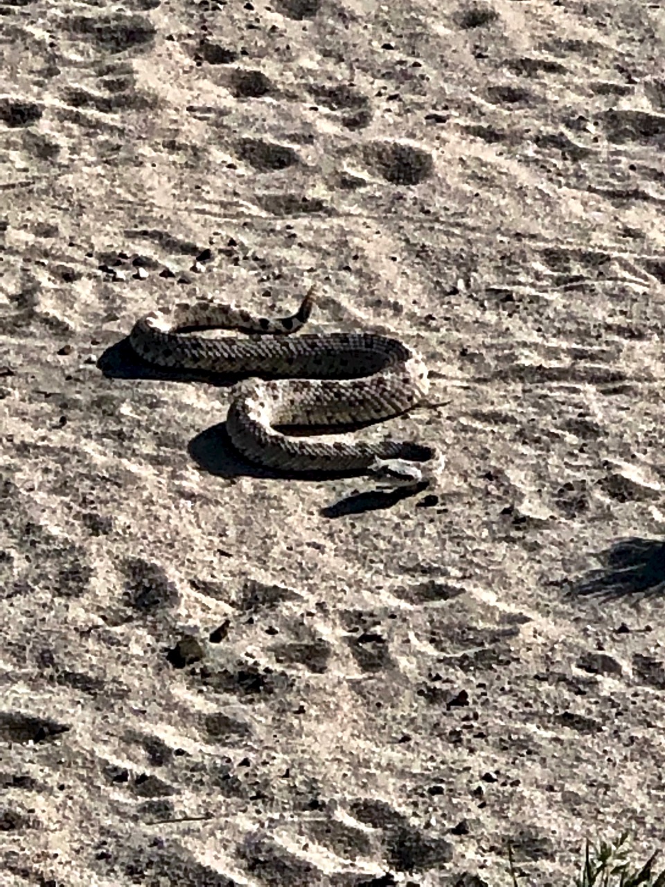
There are plenty of lizards to keep them fed.
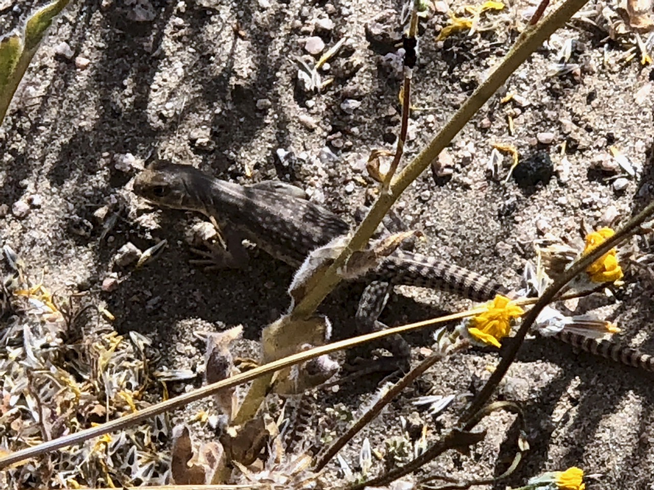
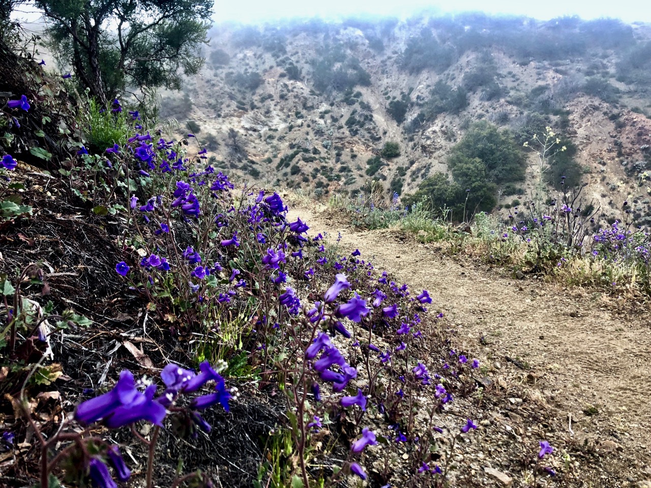
It was April — wildflower season — and I was lucky enough to see some.

I saw no other hikers climbing up into a dry wash. Most stick to the 2 mile loop.

If you get to Palm Springs, California, I highly recommend a visit.
Official site – CoachellaValleyPreserve.org