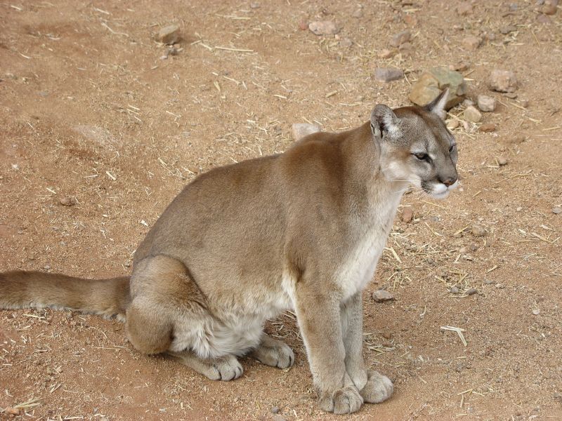
Mountain lions are much less dangerous to hikers in North America than snake bites, lightning strikes and even bee stings.
But plenty of people have been freaked out by a recent viral video.
“The encounter might have been avoided altogether, but once it happened, the runner did a lot of things right,” says Denise Peterson, a Utah resident and region coordinator with the Mountain Lion Foundation.
“But individuals and the media are getting a lot of things wrong …
26-year-old Kyle Burgess has told reporters that he was running on a trail in Provo’s Slate Canyon when he saw kittens on the gravel path ahead of him. Thinking they might be bobcat kittens, he started recording video on his phone. When the mother lion appeared, he immediately knew he had made a dangerous mistake.
In the six minutes that follow, the video shows Burgess doing many things correctly: he backed away slowly, continued facing the lion, spoke loudly and firmly, and didn’t try to run away.
The lion followed him for several minutes, occasionally hissing and lunging. “She clearly did not view him as prey,” says Debra Chase, CEO of the Mountain Lion Foundation.
“The behavior was meant to chase him away, which it did very well. The mother lion was reacting to a perceived threat to her young.” …
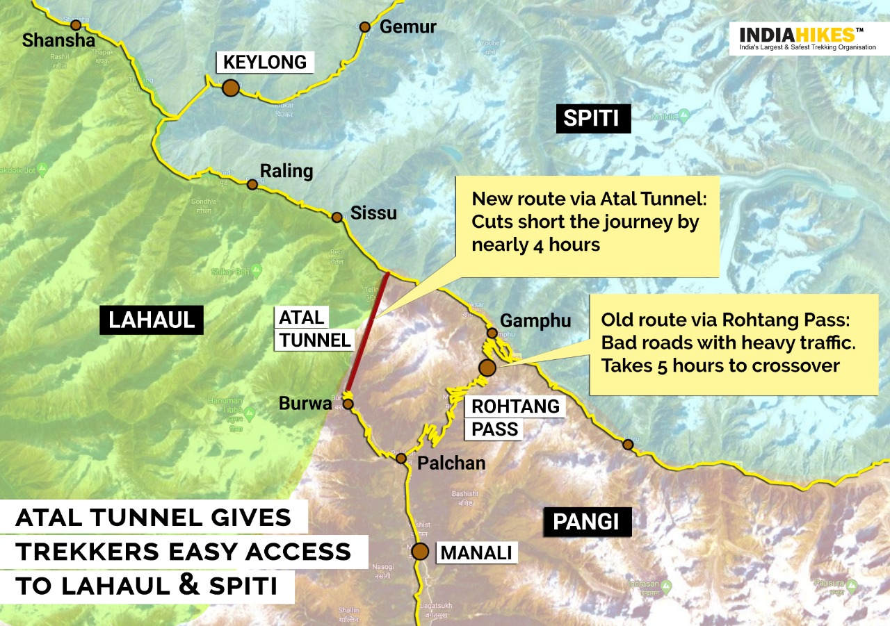
This historic tunnel, which was inaugurated on October 3, starts from Solang Valley near Manali and ends near the grand Sissu waterfall in Lahaul.
Till now, not many travellers knew about the Sissu waterfall. But now, Atal Tunnel puts it on the … map.
Similarly, it brings the spotlight on Lahaul and underlines how little information is available about this region.
“You have not seen a setting as beautiful as Lahaul. It is very different from the stark beauty of Spiti. …
A Big Impact: Opening up of new areas of trekking
The opening of Atal Tunnel will finally allow trekkers to venture into the uncharted terrain of Lahaul. Earlier, bad roads and long travel time prevented trekkers from exploring this scenic region. …
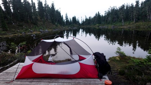
I camped 3 nights at Circlet Lake altogether. Lovely.
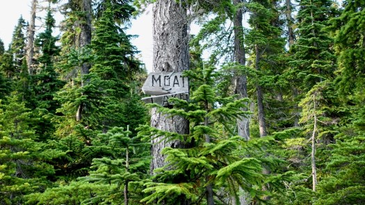
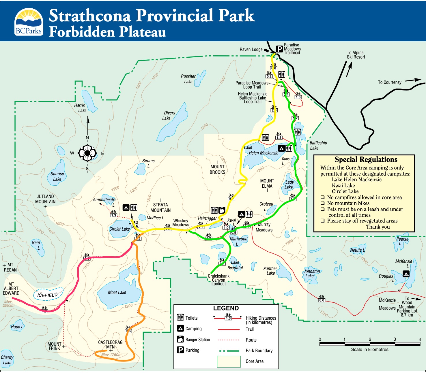
From Circlet it’s not far to the Castlecrag trail marked in orange on the map. Look for the sign to Moat Lake.
Click for LARGER version.
I hiked the route marked in orange. Here’s the original Park map online.
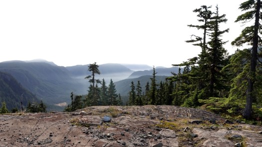
This was a foggy and somewhat hazy day.
But plenty clear enough to see where I was headed.
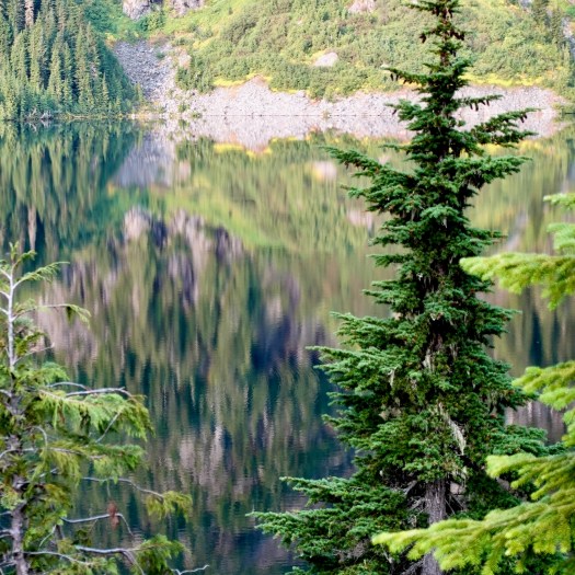
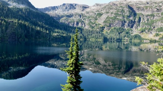
I’d seen lovely Moat Lake the day before from the Albert Edward hike.
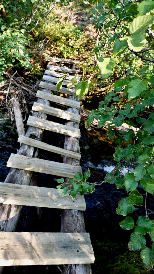
For Castlecrag you circumambulate the far side, crossing the worst bridge I’d seen in Strathcona 2020.
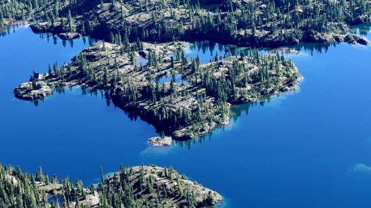
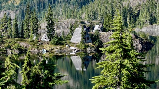
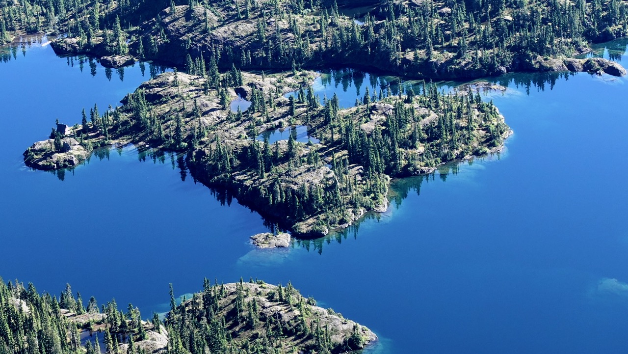
En route a helicopter flew into Moat Lake Retreat, an island you can rent with 2 cabins sleeping a total of 10 people. It’s a legacy from when Clinton Wood first built a lodge here in 1934.
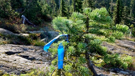
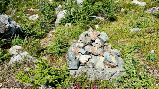
In good weather, finding the route is not all that difficult. Follow the cairns and (possibly) ribbons.
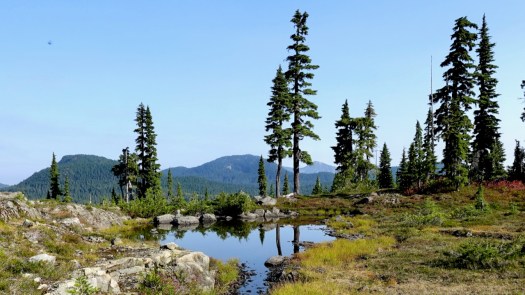
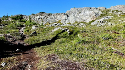
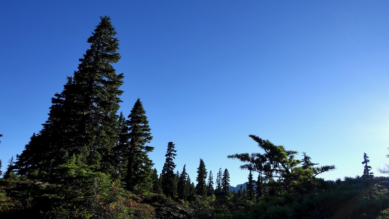
Much of this adventure is above the treeline.
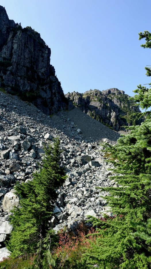
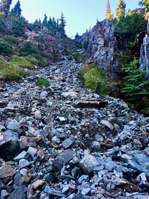
Overall the hiking is more difficult than on nearby Edward Albert as there is a fair bit of boulder hopping over avalanche slopes.
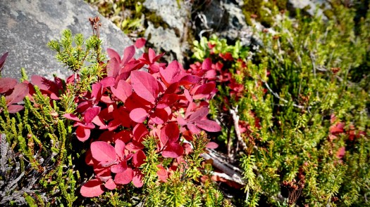
Two highlights end of September: no mosquitoes and autumn colours.
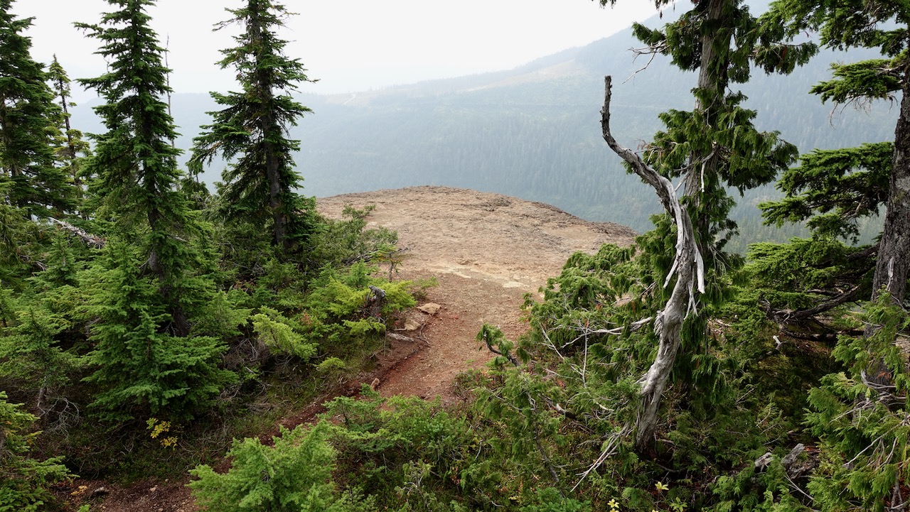
The turnoff UP to Castlecrag is not signed. Watch for the big cairn on the right.
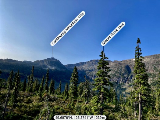
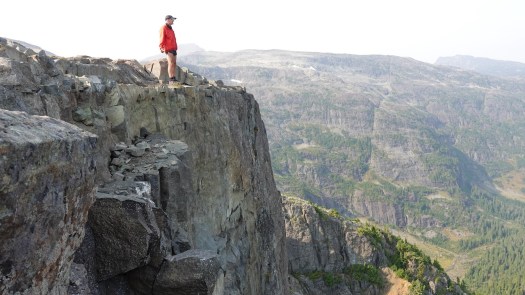
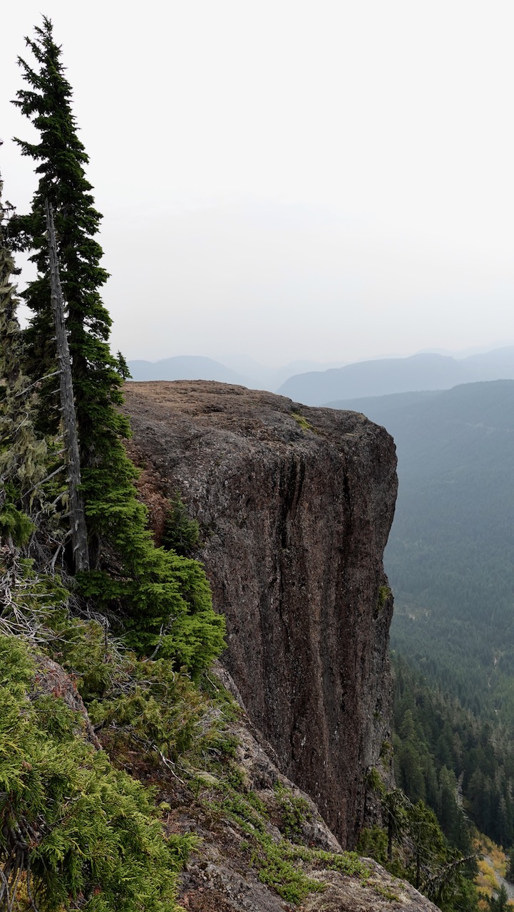
Castlecrag 1740m (5709ft) is a satellite peak to Mt Albert Edward 2093m and many serious hikers / trail runners connect the two via Mt Frink. I’d originally planned to do that myself — but found it too difficult and risky on my own. Also, days are short end of September. I might have spent some hours in the dark on the way down.
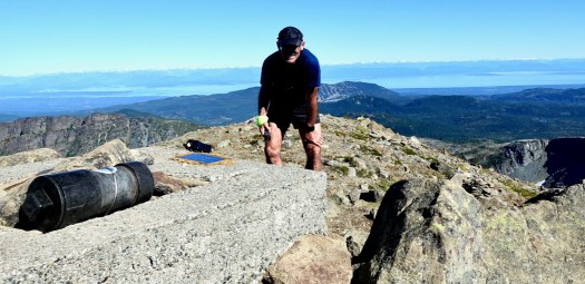
It’s a short climb from the cairn to the summit of Castlecrag.
It’s named for Albert Edward, Prince of Wales, later King Edward VII.
Most who climb it start at Circlet Lake campground.
From the campground it’s only5.5km to the summit, but it took much longer for me than I anticipated. Update: that sign on the trail is wrong. It’s significantly further than 5.5km. 😀
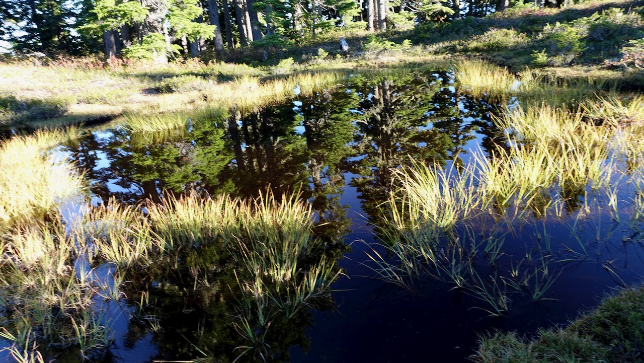
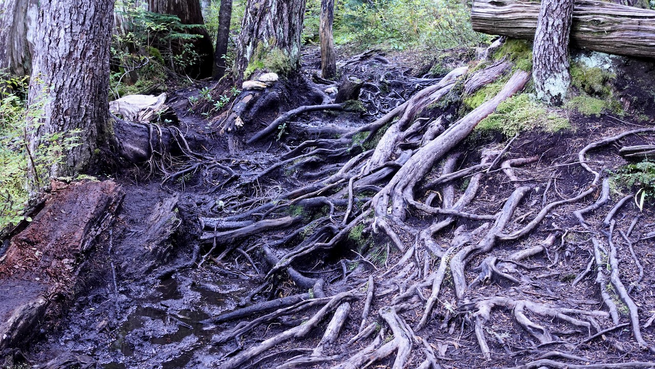
The muddiest trail I found was that just departing Duck Pond.
I hiked Circlet to the summit on the trail marked in red.
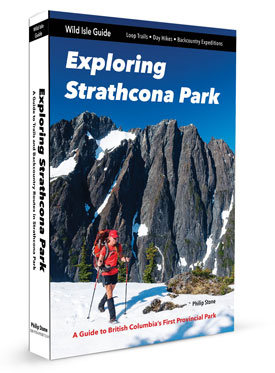
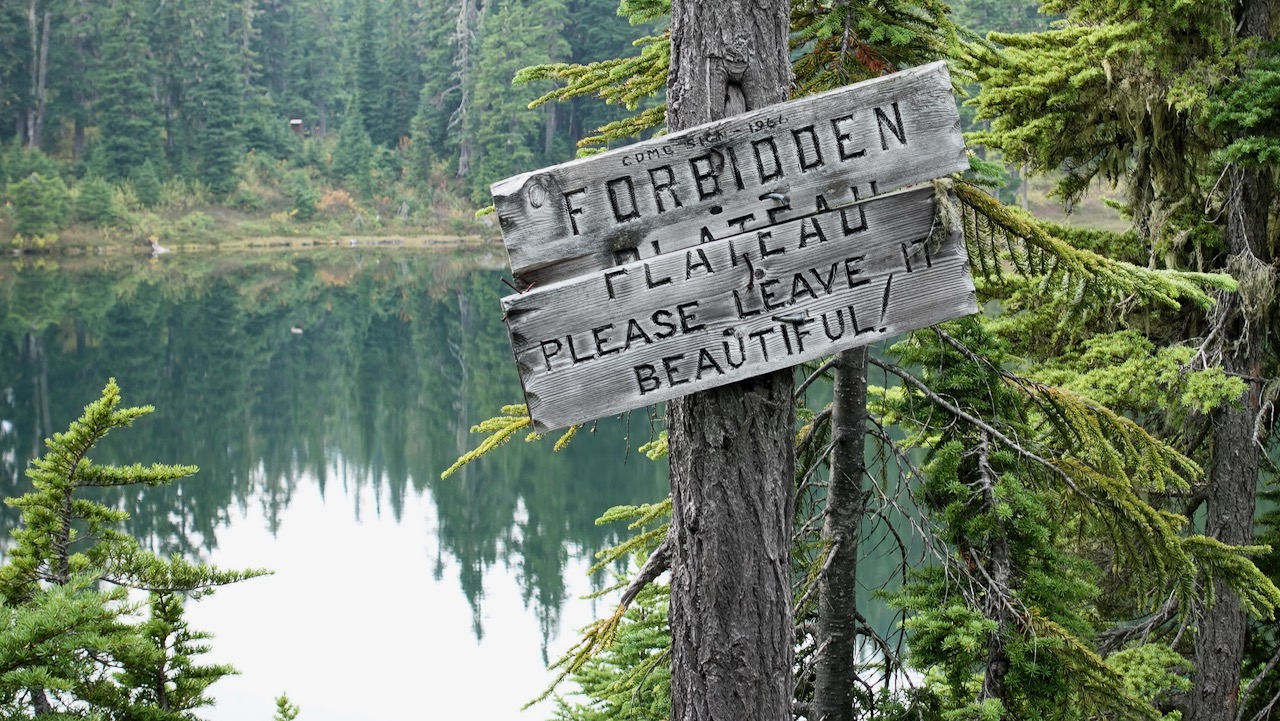
Paradise Meadows is the best and most convenient trailhead in Strathcona, largest and oldest (1911) Provincial Park in B.C..
It’s easy access to the Forbidden Plateau on paved Strathcona Parkway up to Mt Washington Alpine Resort 1100m, 20km up from the inland highway.
Close to Courtney, Cumberland, and Campbell River. The nearest airport and ferry port are at Comox.
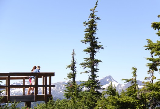
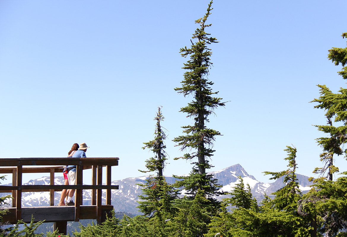
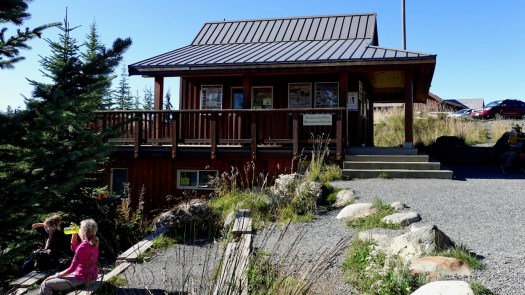
Looking from Raven Lodge at the trailhead, the most distinct peak is sharp Albert Edward, 6th highest mountain on the island.
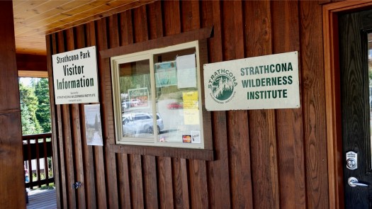
It seemed to me in 2020 that Strathcona Park did not have as much staff as they would like. Happily the volunteers of the Strathcona Wilderness Institute are often in person at Paradise trailhead. Make a donation if they help you out.
→ Centennial Loop (2.5km) → Paradise Meadows Loop (4.2km) → Lake Helen Mackenzie – Battleship Lake Loop (8km) → Helen MacKenzie-Kwai Lake-Croteau Loop (14km)
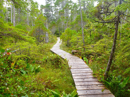
Those trails closest to the trailhead are best maintained: bridges, pit toilets, good signage and much boardwalk. In fact, the Centennial Loop is wheelchair and scooter accessible.
Check the map. I hiked in to Circlet Lake on yellow, mostly looped back on green. But there are MANY possible different interconnecting loops.
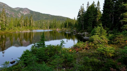
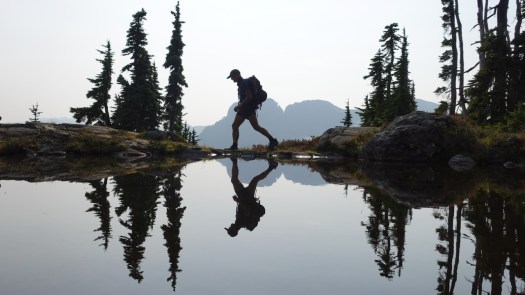
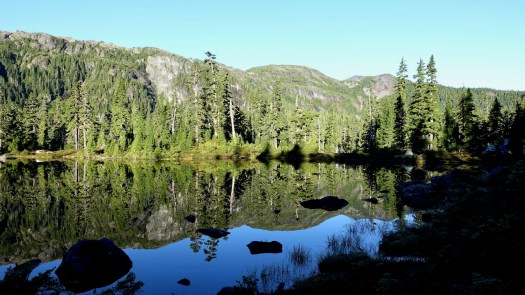
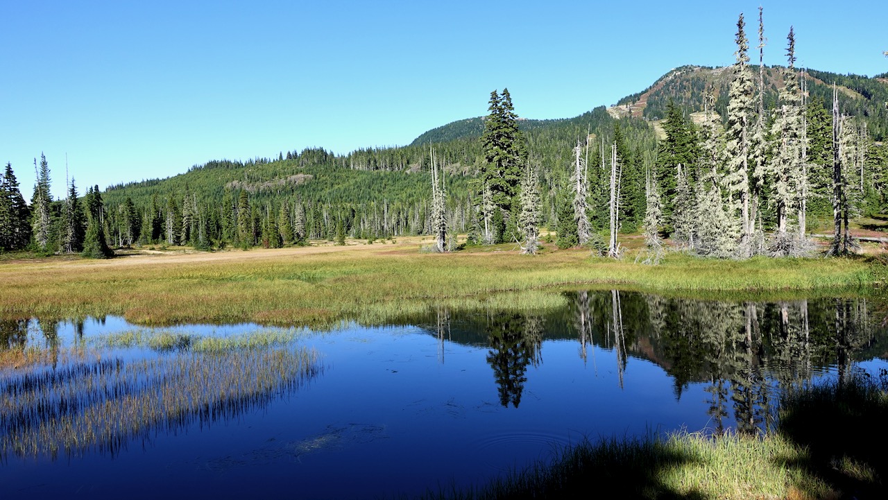
Most hikers on the Forbidden Plateau stay down in the subalpine: forested hills, postcard pretty lakes, babbling brooks, and lovely meadows.
It’s wet. Expect rain.
Expect mud. 🙃
If we couldn’t enjoy all this beautiful boardwalk, we’d often be wading wetlands.
Water water everywhere, yet I found I had to treat almost every source. There are not all that many fast running creeks.
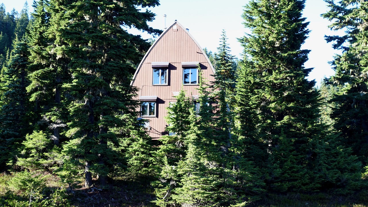
I passed one picturesque Ranger cabin.
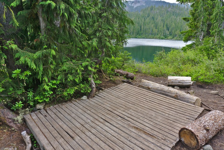
Three first-come, first-served campgrounds are quite good, the closest at Lake Helen Mackenzie near the trailhead. Each has pit toilets and bear proof food lockers. (CAD$10 / person / night in 2020)
I was there late September 2020. Very few mosquitoes! That’s not always the case here.
I hiked in to Circlet about 9.5km one way. About 4 hours walking. Stayed 3 nights.
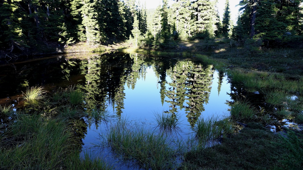
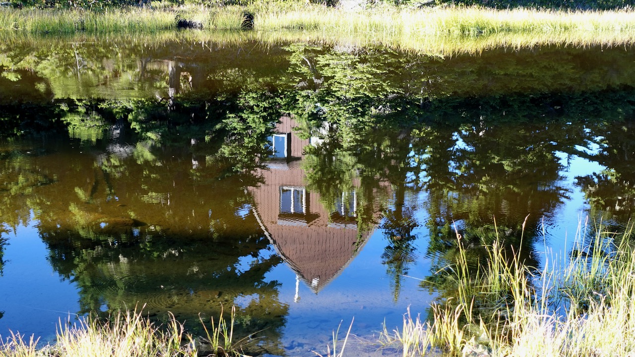
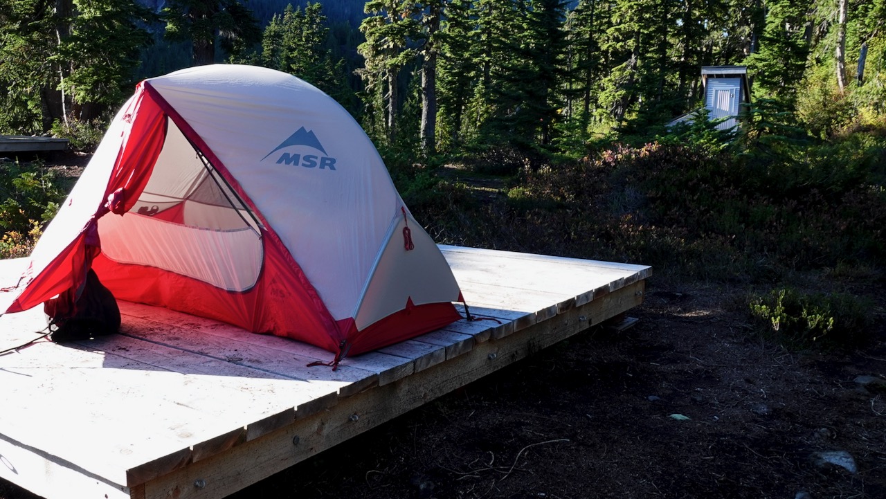
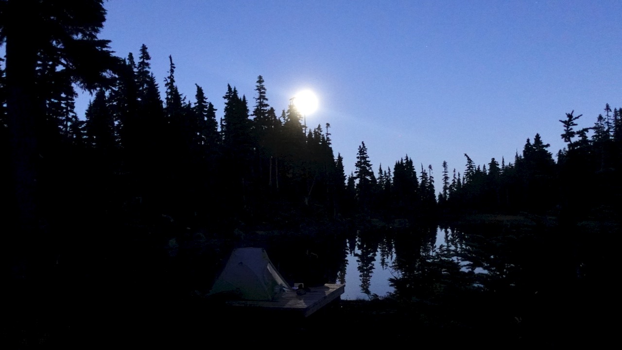
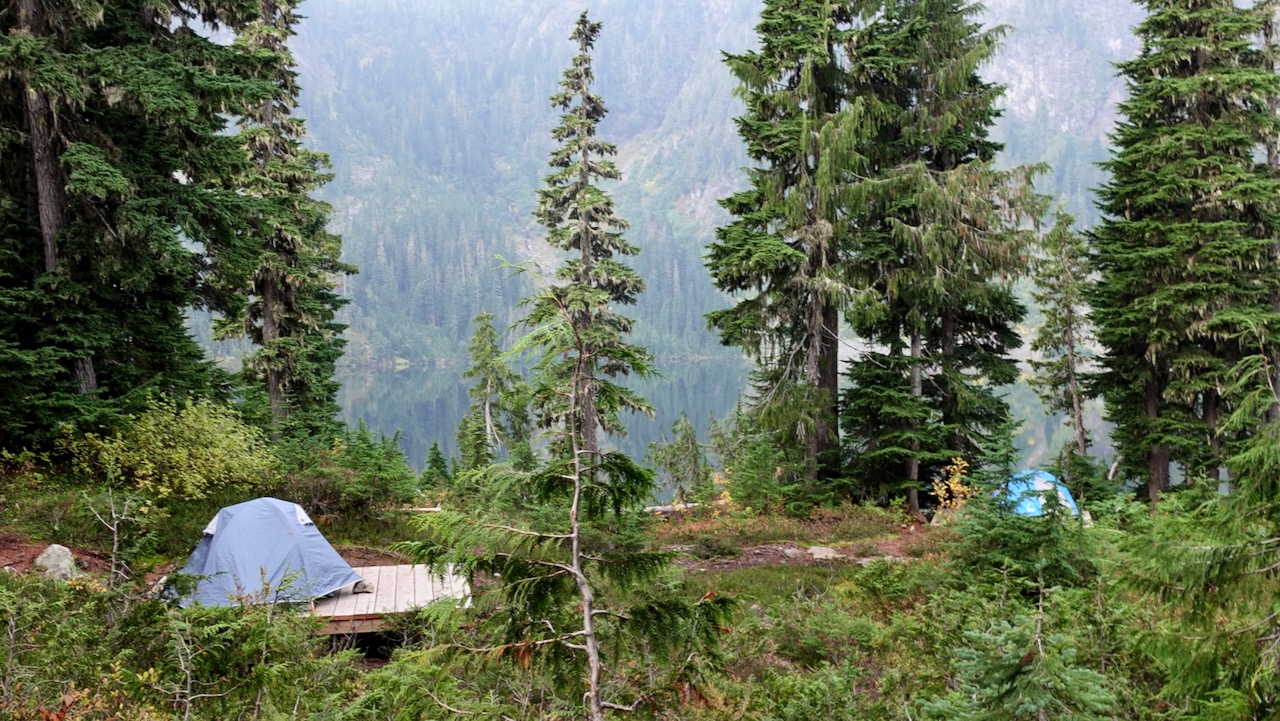
Arrived just before dark. Camped on pretty Duck Pond rather than the lake itself.
Circlet is not likely to fill up — but you MIGHT find no space left at Helen Mackenzie and Kwai Lake campgrounds on a busy day during the short summer season.
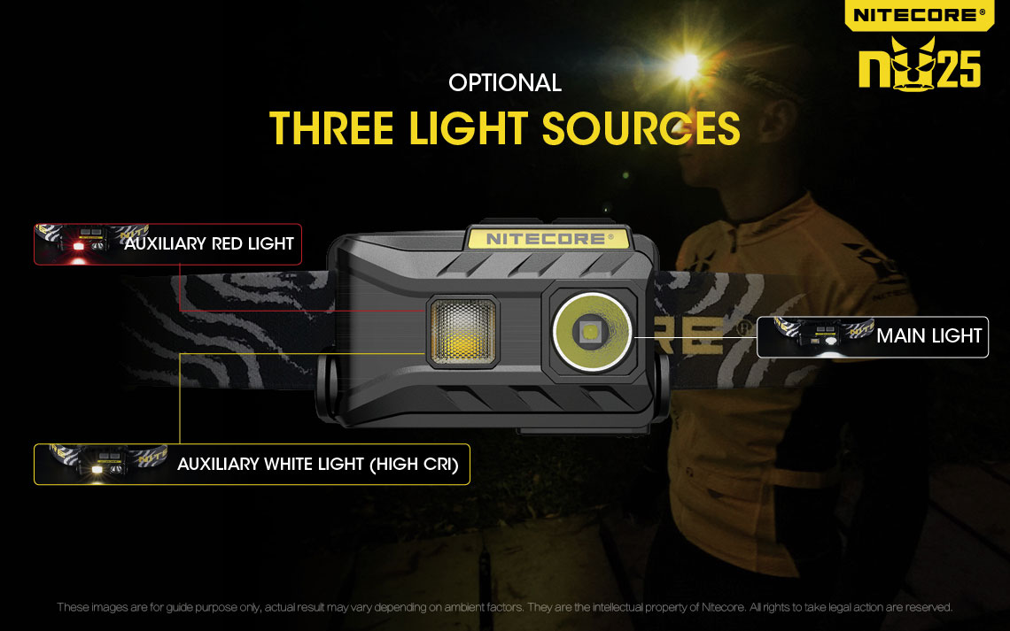
The NU 25’s main limitations are its short battery life (in our testing, the NU’s burn time was much shorter than listed) and the fact that it’s hard to keep the light from shining in your camping partner’s eyes due to its wide beam pattern.
1. Why choose trail running shoes over boots for three-season conditions?
2. When are boots preferable to trail runners?
3. “Wearing Your Fears” – Examining the commonly-held belief that boots provide a greater degree of protection for your ankles than low-cut footwear while backpacking.
4. “A Piece in the Puzzle“ – Why your choice in footwear should be considered an integral piece of an overall lightweight backpacking strategy.
5. A list of 15 of the top trail running shoes in today’s market.
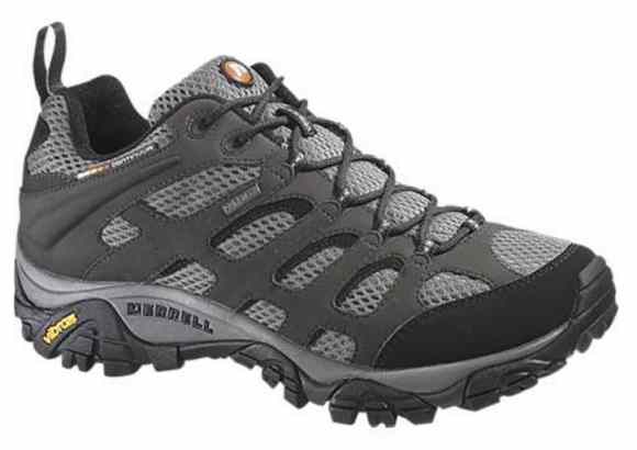
I’ve tried most everything over the years, ending up with something in-between runners and boots – approach shoes — most often Merrell Moab2 Ventilators. Normally without a Gortex layer.
I go with Merrell as they are available online in very wide sizes. I have bunions.
I go with trail shoes as I like the durability.
Cam finds he can get about 800 mi (1,287 km) out of a good approach shoe; as opposed to trail runners which normally need to be retired after 500 mi (805 km).
I’m loath to suffer stubbed toes so prefer footwear with good protection up front.
Like Cam, I wear low-cutfootwear as my ankles are healthy and I’m agile enough not to bash into rocks.
For something VERY rugged — K2 Base Camp, for example — I would take high tops or boots.
The downside of approach shoes is weight. And the smell.
After a hike where my shoes get wet I need bake them in the sun. For days.
Trump and the Republican Party have been ruthless for 4-years selling out public land to rich supporters and corporations. The Environmental Protection Agency has weakened regulations.
For example, a Judge removed Trump public lands chief —a former oil industry attorney — who’d been working in that position illegally.
Patagonia has just released The Fight for America’s Public Lands.
A feature-length documentary about America’s system of public lands and the fight to protect them.
Despite support from voters across the political spectrum, our public lands face unprecedented threats from extractive industries and the politicians in their pockets.
Part love letter, part political exposé, Public Trust investigates how we arrived at this precarious moment through three heated conflicts—a national monument in the Utah desert, a mine in the Boundary Waters and oil drilling in the Arctic National Wildlife Refuge—and makes a case for their continued protection.