Parksville on Vancouver Island, British Columbia.
Click PLAY or watch it on YouTube.

Best hikes, treks, tramps in the world.
Lantzville Lookout is a popular day hike off the Copley Ridge network of trails near Lantzville on Vancouver Island.

Regional District of Nanaimo is still trying to make the Lookout official, as of August 2020.
In the meantime, signage is home made. I can’t say it’s easy to find.

I went in November. A relaxing day hike.
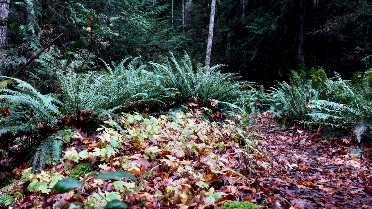
It’s a steady climb. But getting to the Lookout makes it worthwhile.

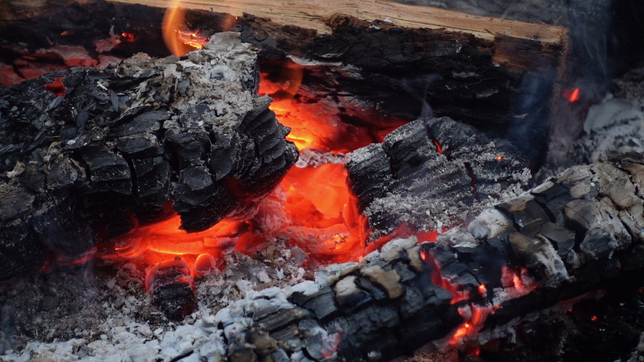
Some young people had set up at the campfire on the Copley Ridge trail. They had just departed as I returned.
It was a mellow hike. So I put together a mellow video. As always, audio is just as important as video.
Click PLAY or watch it on YouTube.
Trip report by BestHike editor Rick McCharles.
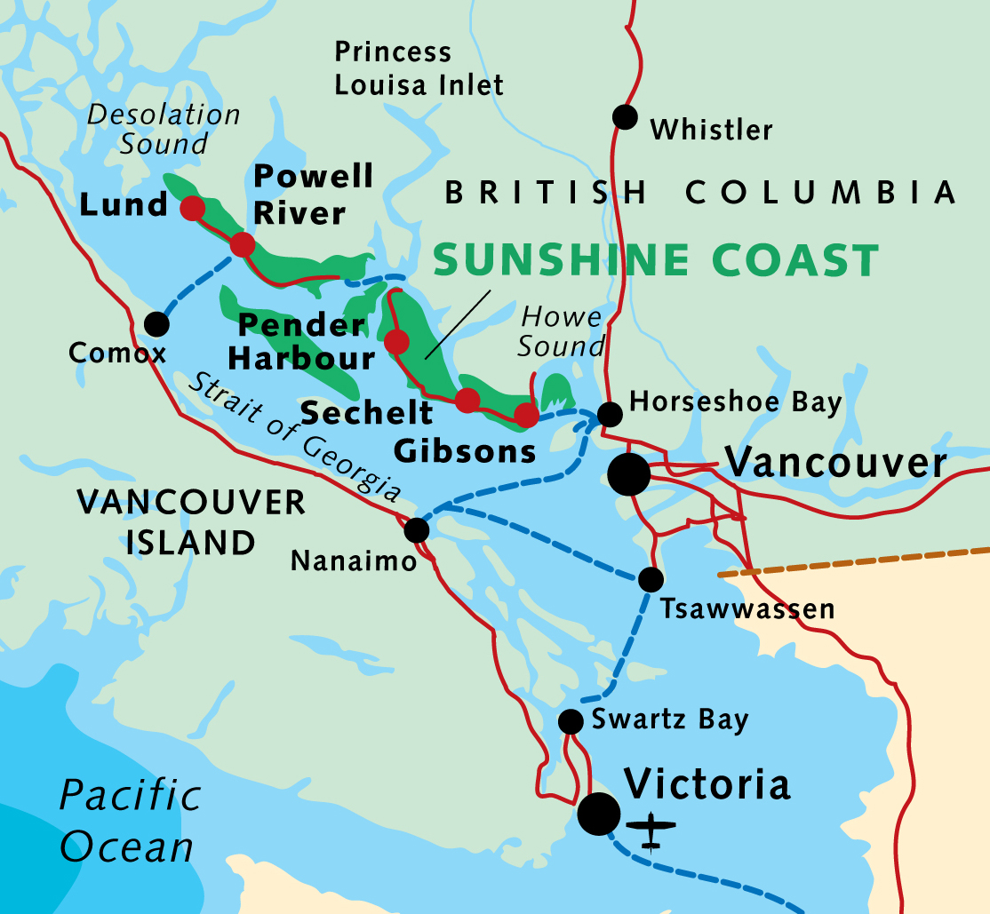
I’d previously hiked two other sections of the (roughly) 180km Sunshine Coast Trail:
Sarah Point to Manzanita hut (2015)
Mowat Bay to Lois Main (2016)
Pestered by wasps and other biting insects on those two earlier trips, I deliberately returned late season. No bugs.

This time I headed for the Troubridge Trudge section:
Oct 24 – Lang Bay to Golden Stanley hut (km 145)
Oct 25 – Golden Stanley to Mt Troubridge hut (km 158)
Oct 26 – Troubridge to Fairview Bay hut (km 173)
Oct 27 – Fairview to Lang Bay (km 180)
You can hike 42km in either direction. It’s called the trudge as this is the highest section of the Sunshine Coast Trail.

More maps.
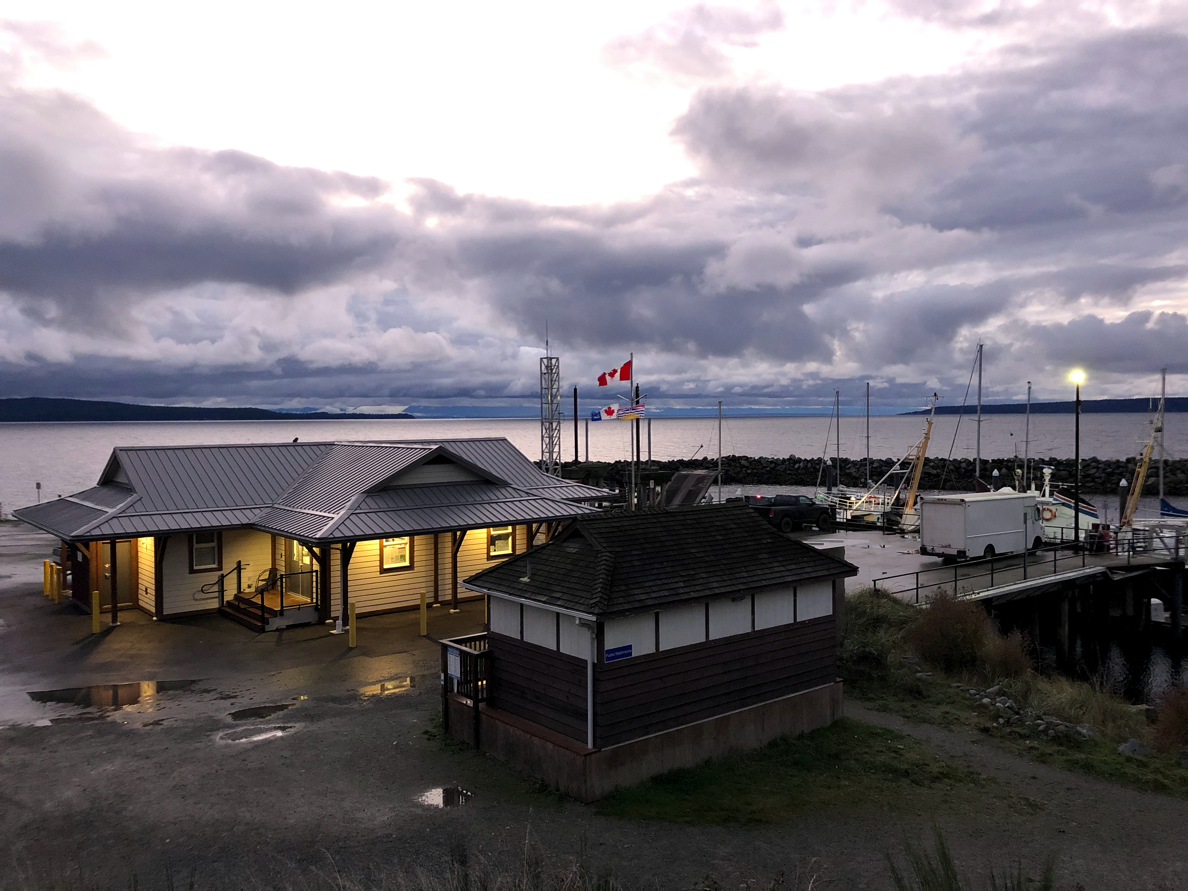
Having reached the Sunshine Coast via ferry from Comox, I stayed in a Powell River hotel.

Weather forecast looking good next morning, I cycled down to Lang Bay.

A lovely autumn day.


Hid my bike in the trees close to the highway near Lang Bay.
Walked the gravel road called Canoe Main to join the Sunshine Coast Trail on Lois lake. (I could have walked Lois Main, the older road.)

Lois lake was created by a dam.

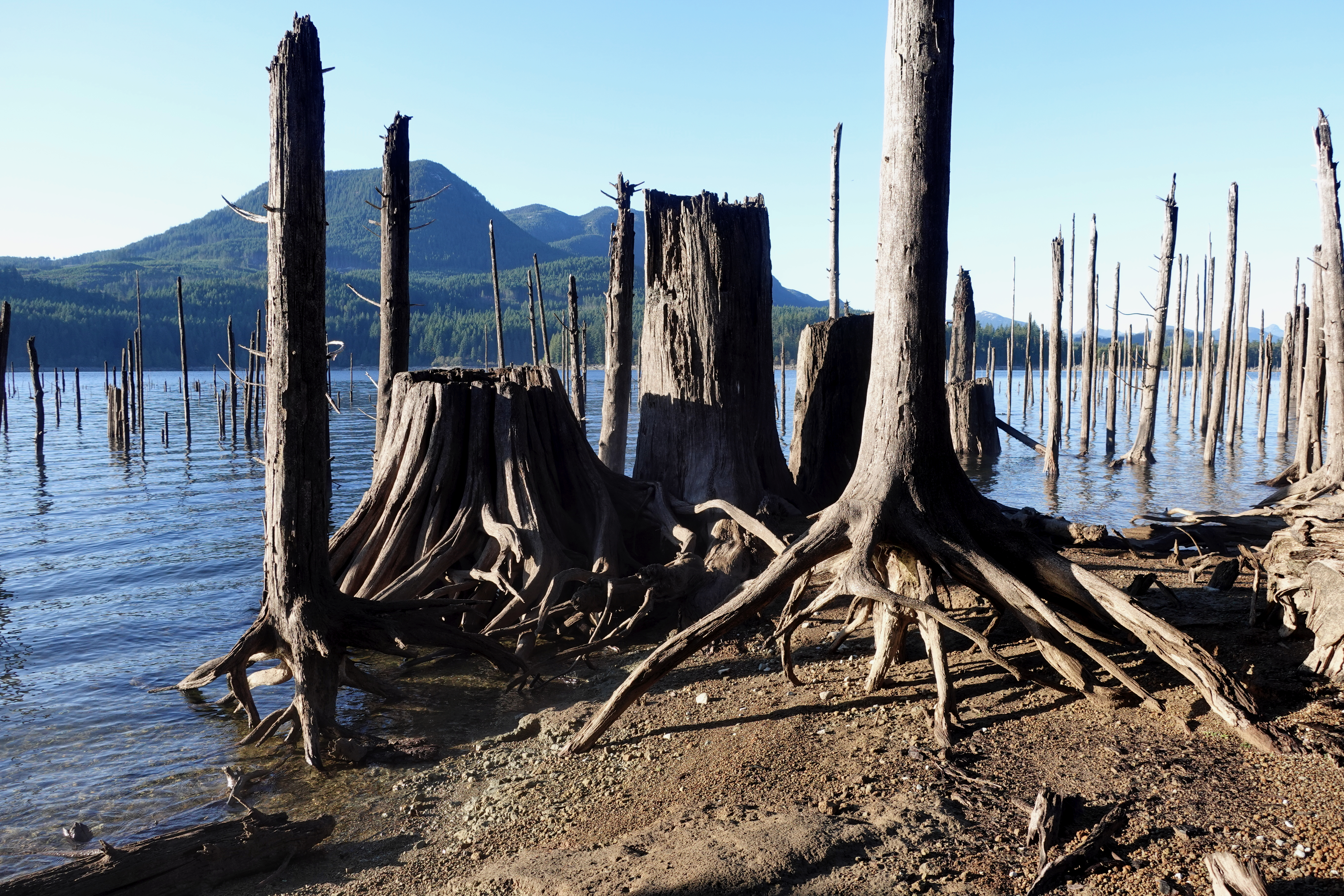
The mountains beyond the lake look tempting.

You eventually turn uphill inland on a trail towards Elephant lake.

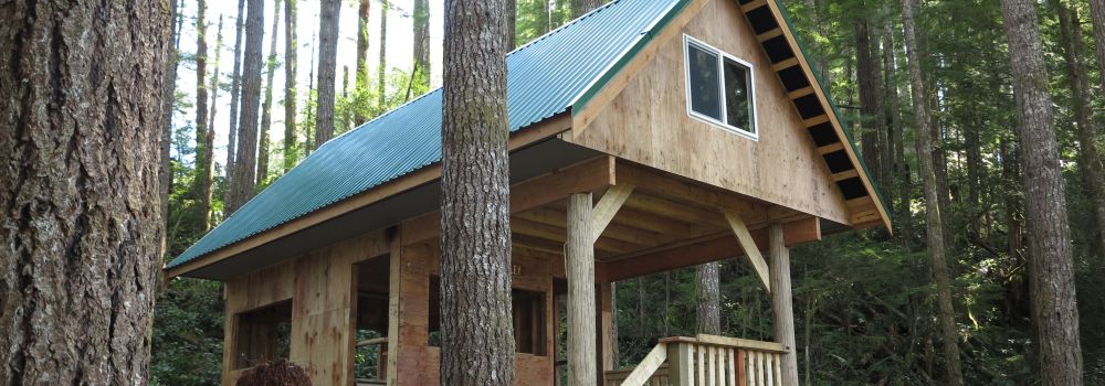
It’s steep but not all that far to Golden Stanley hut, completed 2016. It’s not mentioned in my guidebook published 2013, of course.
I was carrying my tent as I’d seen online that the huts were closed due to COVID-19.
But the hut was open after all. Since I was the only person there, I moved in.
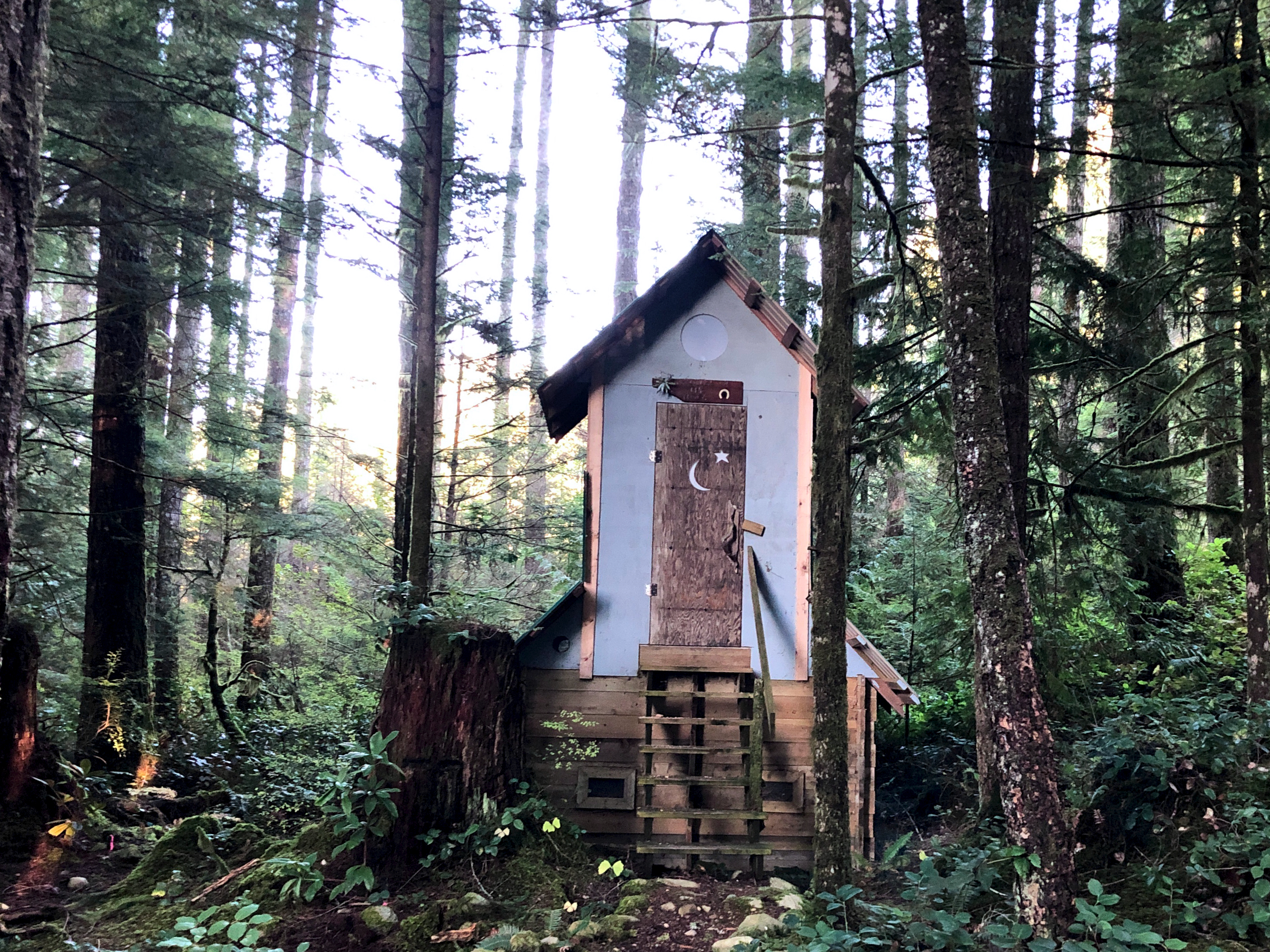
Impressive pit toilet.
Oct 25 – Golden Stanley to Mt Troubridge hut (km 158)
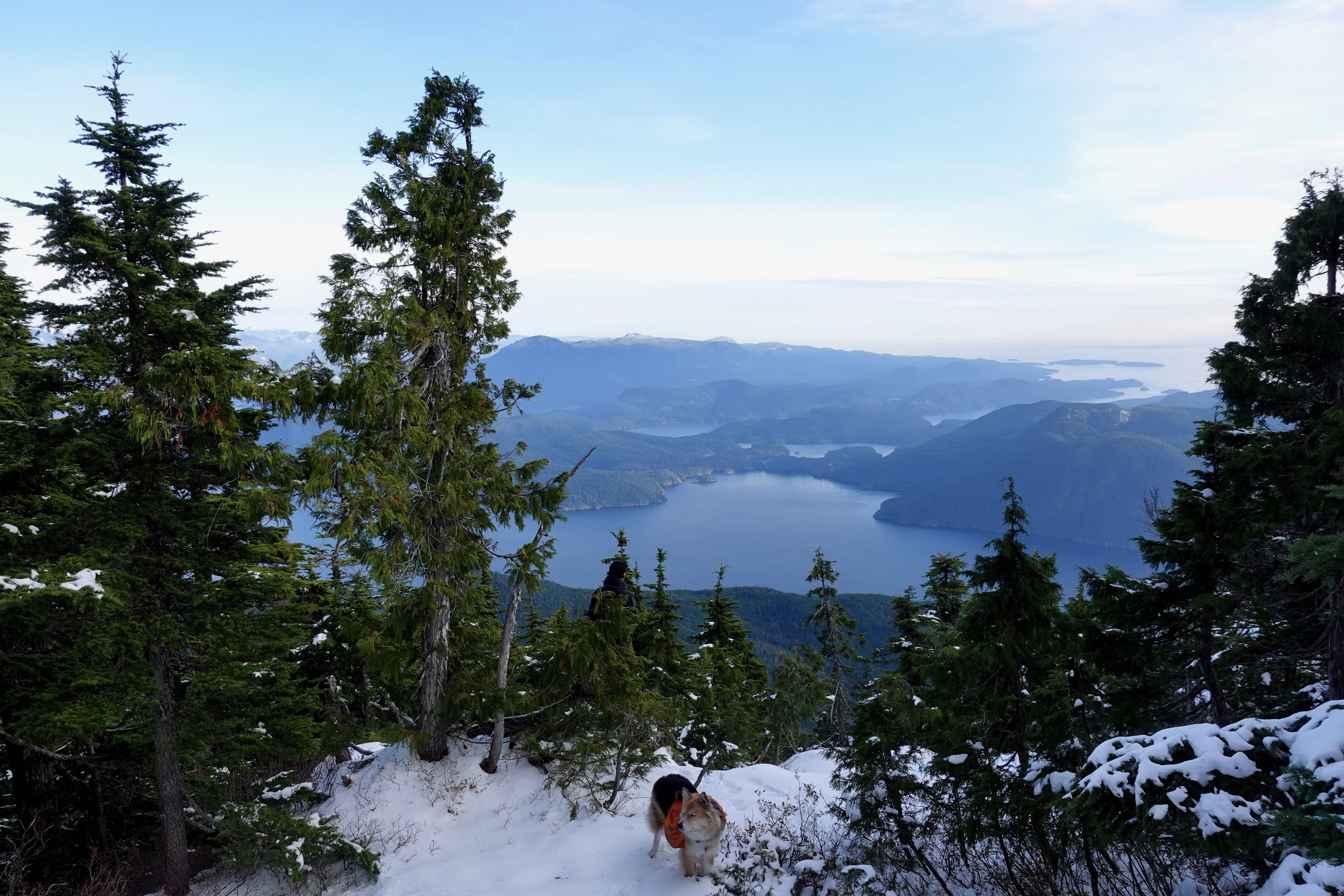
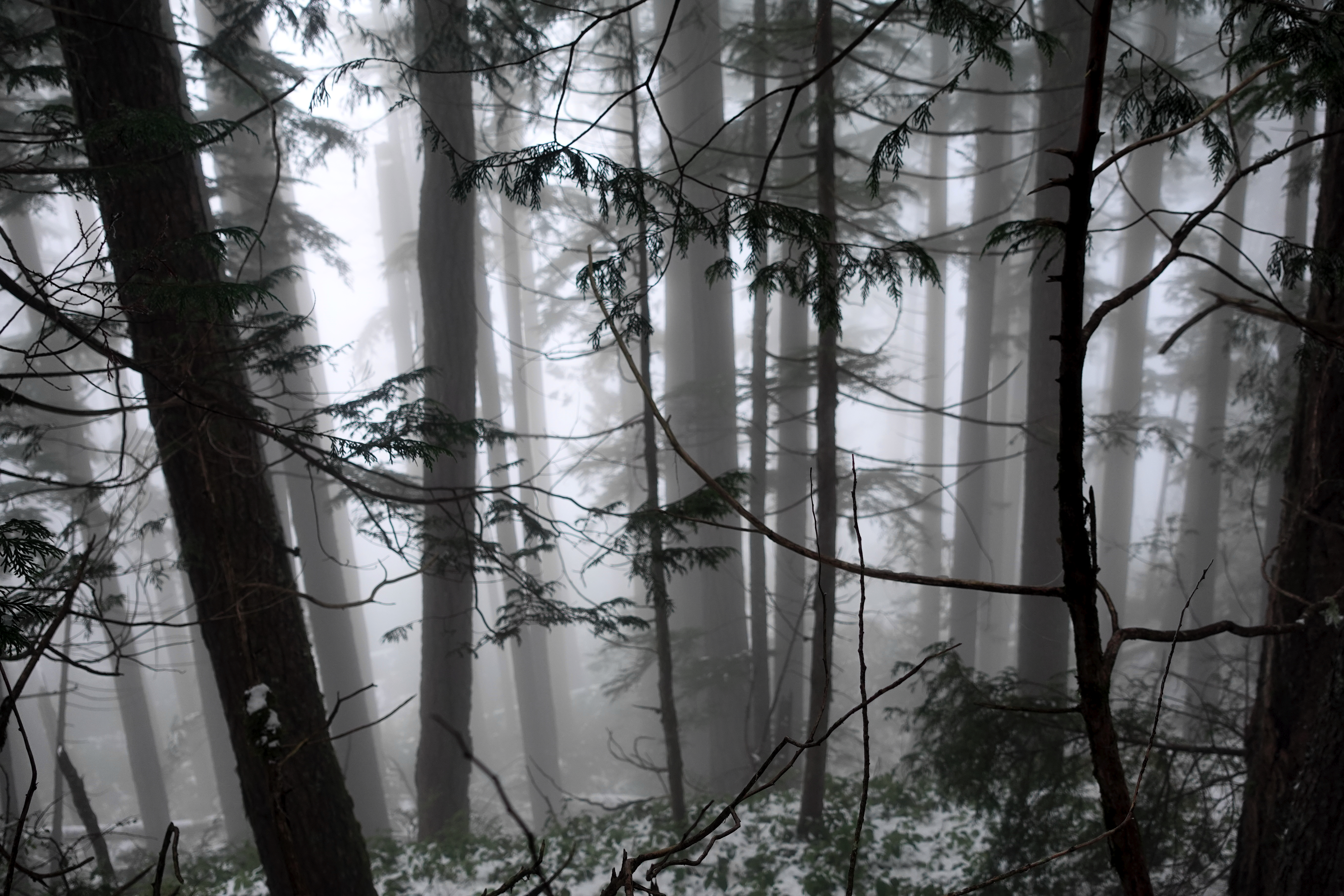
Mt Troubridge is the highest point on the Sunshine Coast Trail. I was happy to have good weather.
On the other hand, surprised to see snow at such low elevation in October.

It was Ho Ho Ho. 😀

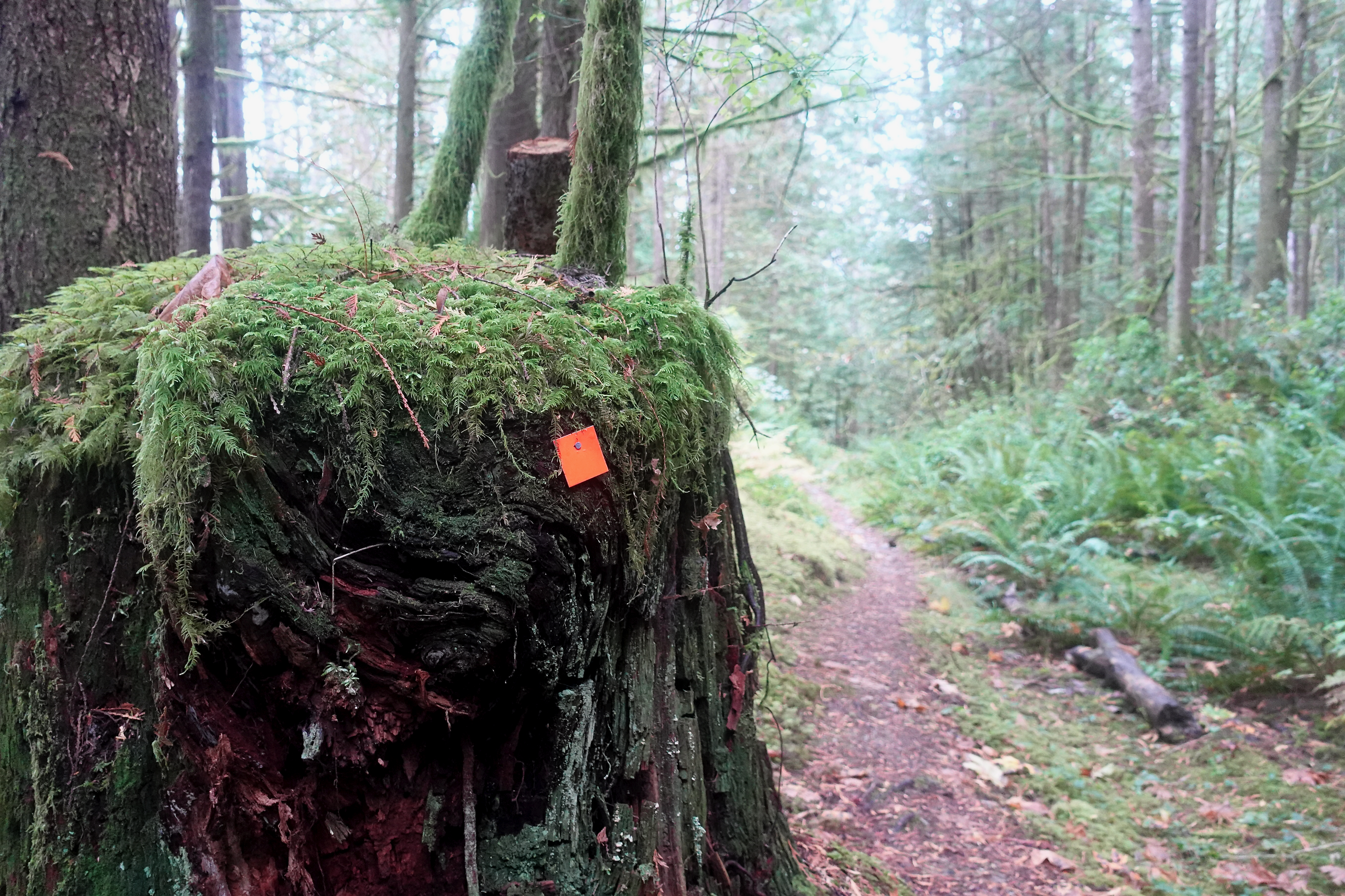
In 2020 everyone takes the newer of two possible trails to the summit. The best route is always well signed.
I still easily reached Troubridge hut by early afternoon.
Here’s how it looks in summer.

And here’s how it looked when I arrived.

Mt Troubridge hut was flown up in pieces by helicopter.
It replaced the Troubridge Hilton, a small communications hut that’s now more used as an emergency shelter on the top of the mountain.
I assumed I’d have Troubridge hut to myself again when Chris and his dog arrived. Rather than sharing a small space, Chris took the A-frame. I stayed in the hut on my own.
He had the views of Jervis inlet and could see all the way to Powell River.

Turns out winter camping is quite comfortable — when you can sleep in a hut rather than a tent.
I took plenty of winter wonderland video. And later managed to accidentally delete most of it. Somehow. 😕

Oct 26 – Troubridge to Fairview Bay hut (km 173)
More good weather. I was worried the descent might be slippery, but new snow was mostly grippy. No problems in approach shoes.
Navigation no problem in winter either.

I stopped 800m lower for lunch at Rainy Day lake (km 169) which has a hut.

Winter hiking is much different than doing the same thing in summer.

Eventually snow disappeared. Went away. Like magic. 😀
It got easier on the way down to Fairview Bay.
Again I had the hut to myself.

And again I had plenty of time for photos.

There’s the ferry I’ll be catching to North Vancouver.

Next morning a leisurely 2 hour walk out. Autumn is my favourite time of year for hiking.

This is the end of the South Coast Trail. But I have one section left to finish, close to Powell River. Looking forward to it already.

I had to telephone the bus for pick-up. But it only cost $2.25 to get me back to Lang Bay where I retrieved my bike.
If you want to learn more about Canada’s longest hut-to-hut hike, check first the official website and our own information page:
BestHike – Sunshine Coast Trail
Trip report by BestHike editor Rick McCharles.
If you ever get to the Sunshine Coast of British Columbia, there are two unique attractions in Powell River you might easily miss:
First, Willingdon.
Though it’s an easy, flat 1.2km stroll one way, I still rank Willingdon one of the best hikes in North America because it’s so unique. Historical.
Started 1910 as a logging railway along the coast, today it’s an outdoor museum of forestry technology, gradually being consumed by temperate rainforest.
Start at the main coastal park in downtown Powell River and walk towards Willingdon Beach Campsite (excellent, by the way).
Click PLAY or watch it on YouTube.
After you finish the trail, if you continue walking towards the Pulp Mill — staying as close to the water as you can — you’ll get some distant views of the largest floating Hulk breakwater in the world. Very cool.
It’s used to protect the Pulp Mill’s log storage pond.
While nine of these ten ships were built during the Second World War, the tenth ship, the S. S. Peralta, is the last remaining WWI concrete ship afloat.
Click PLAY or see them on YouTube.
related – trip report – Adventure Awaits – Willingdon Beach Trail

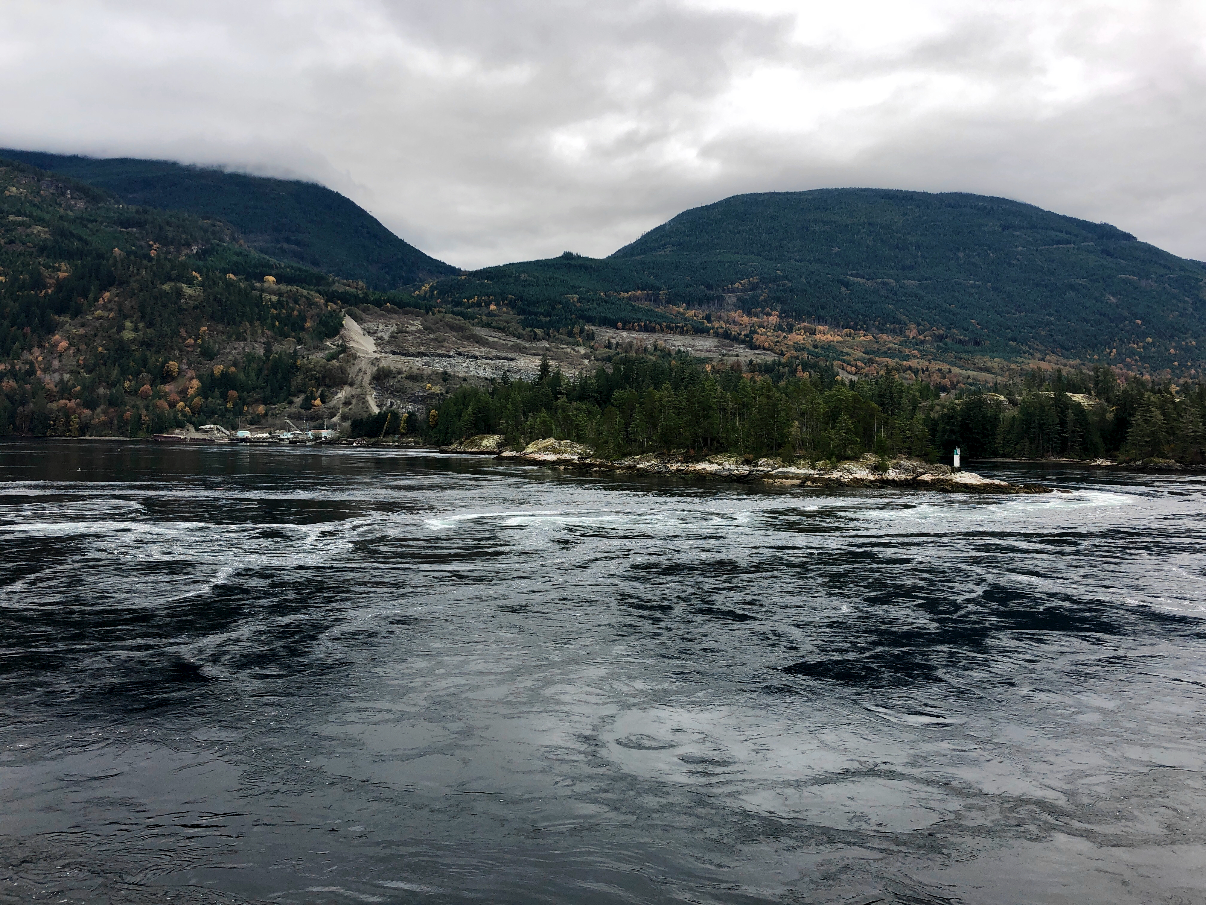
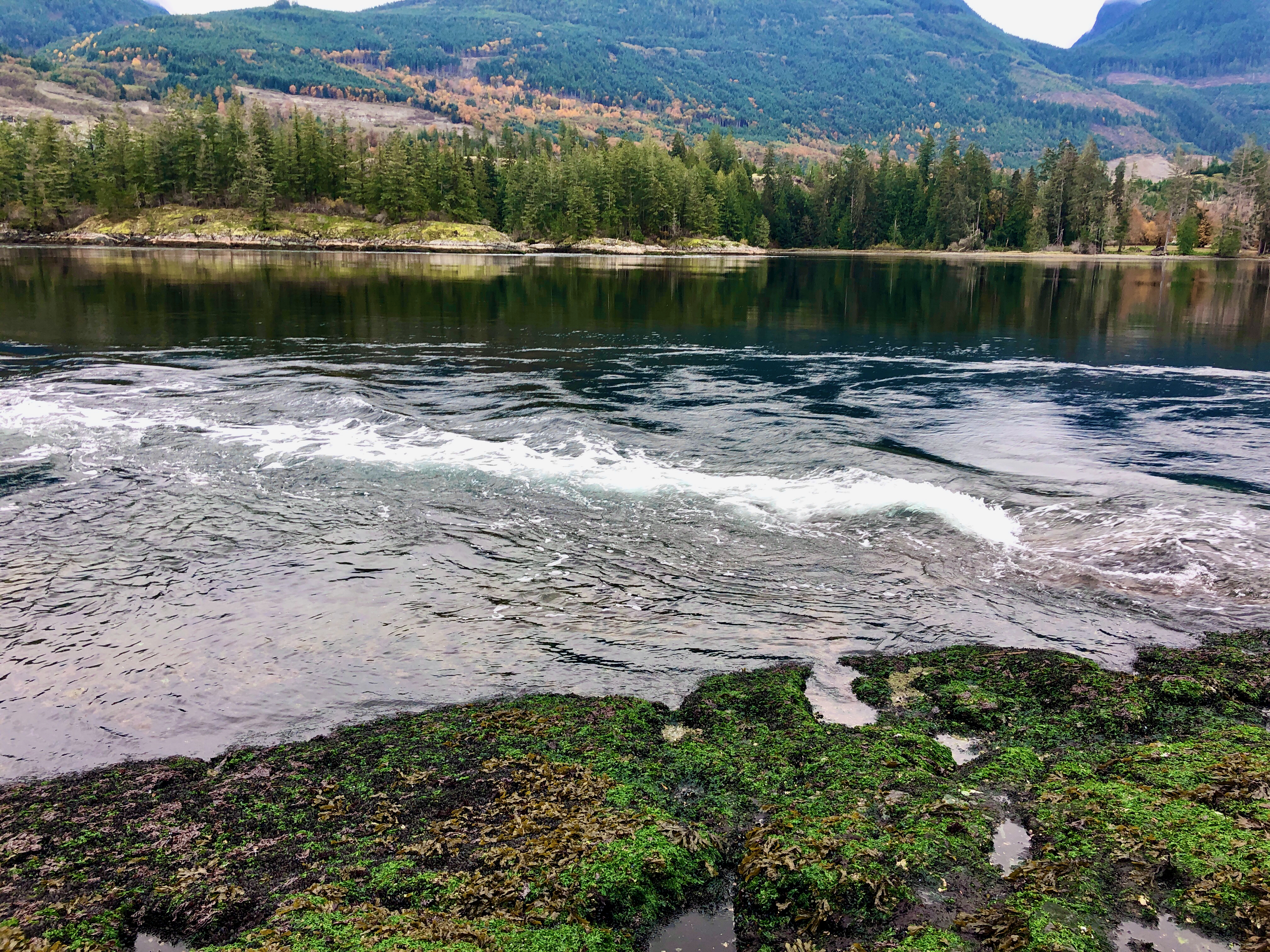
Skookumchuck Narrows Provincial Park is a little known highlight of the Sunshine Coast of British Columbia, Canada.
It was established on August 25, 1957 to protect the Sechelt Rapids located in the Skookumchuck Narrows between Sechelt Inlet and Jervis Inlet.
Famous with the surf kayak crowd.
However, these waters are dangerous. People have drowned.
Click PLAY or watch it on YouTube.
Hikers enjoy an old-growth rainforest hiking trail leading to this powerful tidal phenomenon.

Each day, tides force large amounts of seawater through the narrows …
The difference in water levels can exceed 2 m (6 ft 7 in) in height. … It is sometimes claimed to be the fastest tidal rapids in the world.

Click PLAY or watch it on YouTube.
I got to the jumping off point, Egmont, early morning.
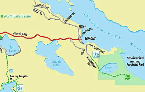
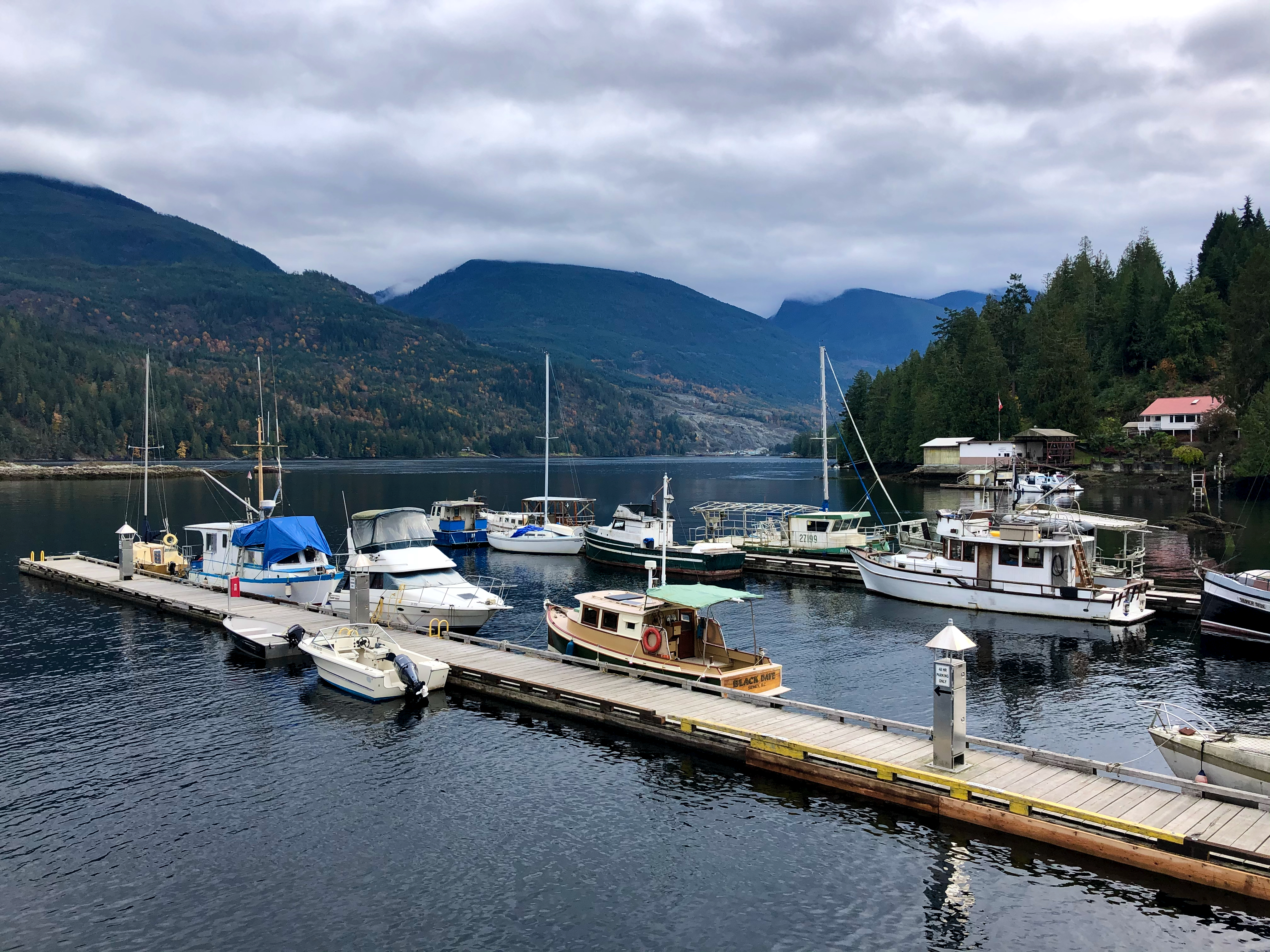
Because Egmont is off the main highway, most people speed past. It’s got an interesting end of the world vibe.
Click PLAY or watch it on YouTube.
Hid my bike in the trees close to the nearby trailhead.

Enjoyed the wide, easy trail to North Point lookout.
Many turn back at North Point. But I continued on the rough trail to Roland Point.
Click PLAY or get a glimpse of my October hike on YouTube.
Related – Likely the world’s most powerful tidal current is not Skookumchuck, but the Saltstraumen maelstrom in Norway.
Click PLAY or watch it on YouTube.
related – Happiest Outdoors – SKOOKUMCHUCK NARROWS
Leigh McAdam:
If you’re looking for a long but glorious out and back day hike in Kananaskis Country then the Centennial Ridge hike up to Mount Allan should fit the bill.
If you want to turn it into an epic day, do the Centenial Ridge hike one-way and then from the summit of Mount Allan descend to Dead Man’s Flats. You’ll need a car shuttle to do that. …
It’s a tough 7.8 kilometre hike to the summit of Mount Allan via the Centennial Ridge – with an elevation gain of 1,356 metres.
The summit sits at 2819 metres, ensuring it’s the highest trail in the Rockies, at least according to Gillean Daffern. Your knees, feet and hips will probably feel it by the end of the day. …

Click PLAY or watch it on YouTube.
Chill in the air. Sun low in the sky. Autumn colours.
September & October are my favourite months for hiking Vancouver Island.
This video is composed entirely of still images. Transitions turn it from a normal (boring) slideshow to something more entertaining.
Click PLAY or watch it on YouTube.
Guest post:
The Mountain Company is based in the UK although we spend the peak trekking seasons staying in Kathmandu (Nepal). We organise trekking holidays and expeditions to the Himalaya and Karakoram.
We specialise in exploring very remote areas of Nepal, Bhutan, Pakistan and India.
Roland Hunter is owner and founder.
Roland has a lifelong passion for mountaineering and trekking in the high mountains. He enjoyed four expeditions to 8,000m peaks and made it to the summit of Mount Everest and Mount Makalu (no supplemental oxygen).
After starting The Mountain Company in 2004 his interest shifted more towards trekking.
Over the years Roland has led or recce’d most of our portfolio of treks and expeditions. Since 2009 his main focus of our interest has been The Great Himalaya Trail (GHT).
The media often portrays trekking in Nepal as overcrowded on all trails throughout the country. It is still possible to find wilderness with very few, if any, other trekking groups especially by following the GHT.
Section 1 starts in the East and it takes 36 days to trek from Kanchenjunga Base Camp to Makalu Base Camp.
Section 2 from Makalu to Everest is the technical crux as it crosses three technical high passes. Our favourite section for its unique culture and vast landscape on the border with Tibet is Upper Dolpo to Jomsom.
In Pakistan we organise K2 Base Camp & Gondogoro La. This is an incredible trek past Karakoram giants and over a high pass to Hushe village.
We have been regular visitors to Pakistan since 2004 when Roland led an expedition to climb Broad Peak (8,051m).
In Summer 2019 we organised the remote Snow Lake & Hispar La trek. This connects Baltistan with Hunza following the Hispar and Biafo glaciers.
Since 2008 we have enjoyed organising ten groups on the Lunana Snowman trek in Bhutan. This is a 28 day trek across the north of Bhutan on the border with Tibet and crosses many high passes. You are unlikely to see many other trekkers after Laya village.
During Covid lockdown we have spent a lot of time looking at maps and dreaming up new places to explore. We have lots of exciting future plans for new treks.
In Nepal we are in the process of setting up Nepal Far West and Limi Valley GHT.
In Bhutan we recently launched remote treks to Dagana & Lawagu Pass and Haa Valley.
We have uploaded videos for some of our treks on our YouTube channel and plan to upload more soon.
Recently we started a new Blog on The Mountain Company’s website with articles and news about trekking in the Himalaya and Karakoram. Hopefully we will see you in the mountains soon! .
Click PLAY or watch a sample adventure on YouTube.
Planning for future hikes often means considering the possibility of forest fires.
As global warming increases, we’re likely to have bigger and more dangerous fires. 😕
‘We already see the initial signs of climate change, and fires are part of it,” said Dr. Amber Soja, a biomass burning expert at the National Institute of Aerospace (NIA) in Hampton, Va.
And research suggests that a hotter Earth resulting from global warming will lead to more frequent and larger fires.
The fires release “particulates” — tiny particles that become airborne — and greenhouse gases that warm the planet. …
Click PLAY or watch 2020 American fires on YouTube.
As publishers of nearly 400 outdoor travel guidebooks, Cicerone Press are a specialist team who love the outdoors and want to inspire and guide you on your next outdoor adventure.
In this episode, hosts Amy Hodkin and Hannah Stevenson introduce themselves and speak to Joe Williams about the history of Cicerone, our team of expert authors and the areas and activities covered in Cicerone guidebooks.
Whether walking, cycling, trekking, scrambling, mountain biking, running or skiing, Cicerone offers guidebooks written, edited and tested by outdoor experts.
Find out more and view our full range of guidebooks on the Cicerone website, www.cicerone.co.uk.
You can also search for @CiceronePress on Facebook, Twitter and Instagram, and join our Facebook community group, Cicerone Connect.
I used their Aconcagua guidebook, for example, when hiking independently to French Base Camp.

