Kraig Becker linked to this inspiring edit. I’ve hiked Iceland once. But need to go again. SOON.
A new low cost airline might help flight costs go down. 🙂
Click PLAY or watch it on Vimeo.


Best hikes, treks, tramps in the world.
Kraig Becker linked to this inspiring edit. I’ve hiked Iceland once. But need to go again. SOON.
A new low cost airline might help flight costs go down. 🙂
Click PLAY or watch it on Vimeo.
Tom Mangan tipped us off to this well loved day hike.
The trail leads through the spectacular Parque Nacional Alejandro de Humboldt (Alexander von Humboldt National Park), which UNESCO recognizes as “one of the most biologically diverse tropical islands sites on earth.” Careful where you step: you will pass some of the world’s smallest vertebrates on your way to the El Majá Waterfall, which cascades over 82 feet.

The trail begins at the first narrow section of the Santa María River …
Your hike will take you to the source of the Santa María River—El Majá Waterfall, more tban 82 feet (25 meters) high—where you can rest in the shade before treating yourself to a refreshing dip.
Duration: 5 hours
Distance: 4.3 miles (7 kilometers)
trip report by site editor Rick McCharles
day 1 | day 2 | day 3 | day 4 | info
I couldn’t sleep.
Tossing. Turning.
My stomach, not perfect on arrival for this adventure, was getting worse.
At midnight I rushed to the filthy toilet with diarrhea.
At about 2am I awoke suddenly, urgent to vomit outside the door of my tent.
Disgusting. But I was too sick and tired to worry about it until daylight.
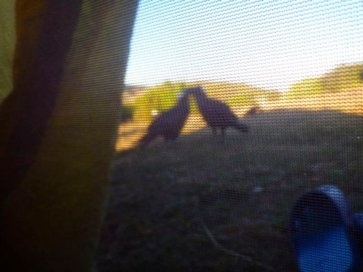
Early morning the thick-billed ravens squawked around my tent … eating the vomit. It was entirely cleaned up by the time I finally got up.

These birds are the biggest and noisiest ravens I’ve ever seen, unique to this region. They mostly travel in male/female pairs.
Breakfast is normally a highlight of these guided camping trips. But I couldn’t eat today. As a test I forced down coffee and a couple of bites of scrambled egg.

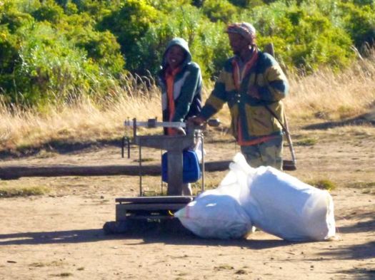
Our gear would ride horseback today. A mob of mule drivers crowded around, hoping they would get work.

There’s a maximum weight / horse. 45kg or thereabouts.
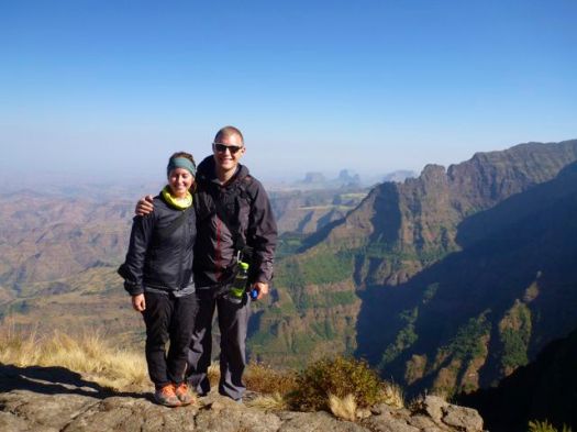
Back to the impressive escarpment walk. Amazing views.

Joshua is smiling here, but his stomach was getting worse by the minute. He and I had eaten fish the evening before. We speculated that it was the fish that made us both sick. Why were we eating fish at 3000m in a land that has little refrigeration?
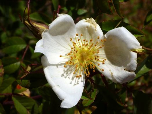
The vegetation seemed to get more interesting the higher we climbed.

We tried resting at the waterfall lookout, but Josh was getting sicker. He spoke, for the first time, of possible quitting the hike. Not only was his stomach bad, but he was feeling symptoms of altitude sickness.
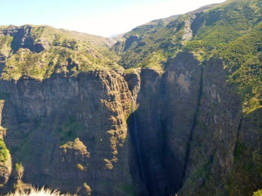

Climbing back up to the road, we discussed our options. With an interested local audience.
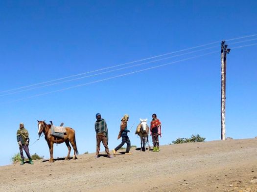
Camp tonight was much higher (3600m) and much more remote. If we continued and Josh was to get sicker, there was no road escape route.
We could try descending and see if he improved, but if we waited too long, there may be no vehicles heading back down this afternoon.
There are a few tourists jeeps each day. And these local people movers.
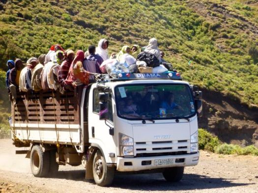
Finally one of those heading down arrived. Josh made the decision. Hopped up into the truck, paying an absurd $30 for the ride back down to Dabark. Happily one of the hiking guides was in the truck. He promised to get Josh to the mini-bus station and all the way back to Gondar.
It was the correct decision. But it wasn’t easy for Nadine to continue without her husband.
I felt Josh was decided, determined and rational when he scrambled up into the truck.
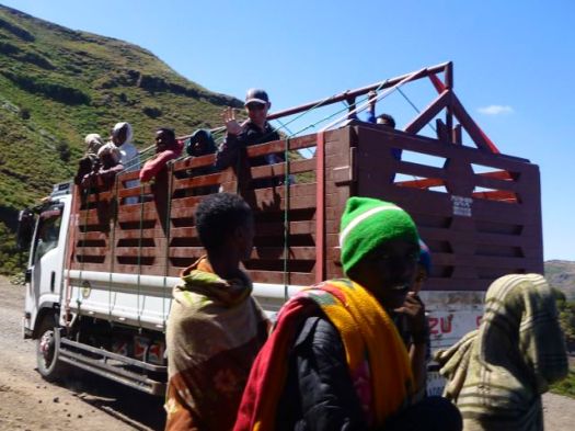
Later we learned he couldn’t even remember departing. His mind was confused all the way back to Debarq where he was detained for riding illegally in the truck! 😦
Luckily he was finally allowed to take a cab the 2 hours back to Gondar, all the minibuses having departed.

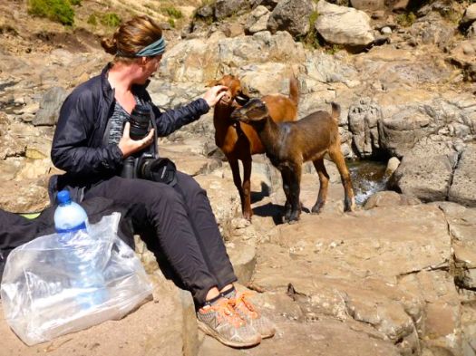
At lunch we were visited by hungry goats.
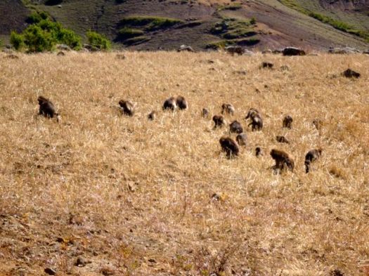
Baboons live here in conflict with local farmers.
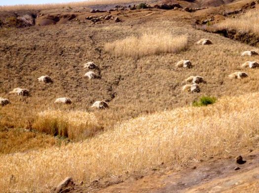
Farmers grow barley. And it was being harvested. Geladas like to eat barley. Each field has a child who’s job it is to chase away baboons.
This lovely Muslim village has 1200 people.
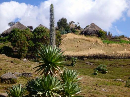
Our scout, Adim, lives here. So he greeted most everyone we met.
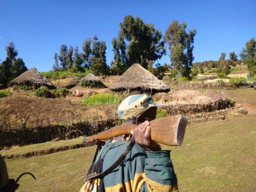
My stomach at this point was 90% OK. I’d eaten almost nothing all day. But I was very tired. It was a huge relief when we finally made camp.
I only wanted to lie down for a nap.
But as I dropped my pack, Paul ran over and said: “What are you doing? The Ethiopian wolf is here.”
We rushed to look.

The Ethiopian wolf is native to the Ethiopian Highlands. It is similar to the coyote in size and build …
Unlike most large canids, which are widespread, generalist feeders, the Ethiopian wolf is a highly specialised feeder of Afroalpine rodents with very specific habitat requirements. It is one of the world’s rarest canids, and Africa’s most endangered carnivore. …
Only about 400 survive in 7 different mountain ranges, perhaps 90 in Simien.
Instead of climbing up to the famed sunset viewpoint with Nadine, I crashed in my tent for an hour.
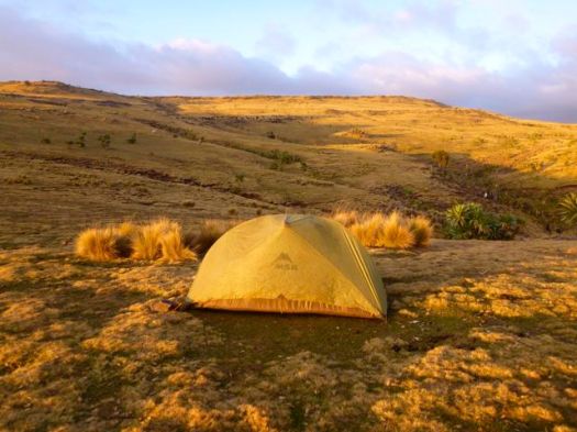

Africa sunsets are the best anywhere, however. I forced myself to get up with my camera.
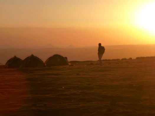
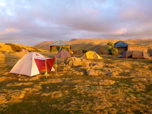
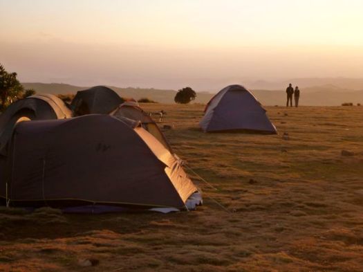
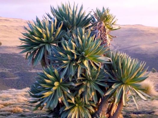
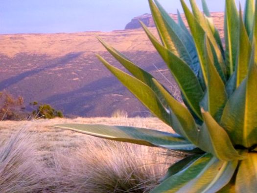
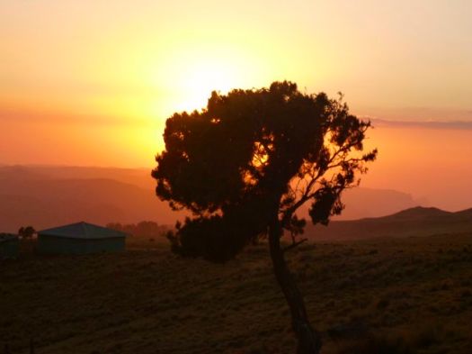
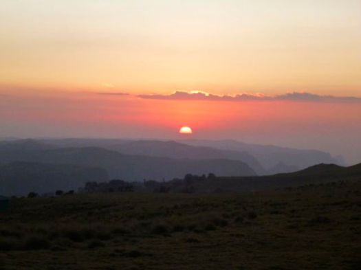
Nadine got the BIG views up high.
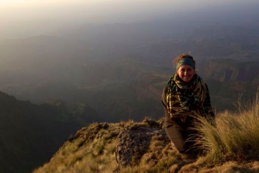

I ate almost nothing for dinner. Went to bed immediately. The indoor campfire was too smokey.
Snoqualmie Falls is a 268 ft (82 m) waterfall on the Snoqualmie River between Snoqualmie and Fall City, Washington, USA. It is one of Washington’s most popular scenic attractions, but is perhaps best known internationally for its appearance in the cult television series Twin Peaks. More than 1.5 million visitors come to the Falls every year …
… the river trail descends 300 feet in half a mile passing though temperate rain forest with moss covered Bigleaf Maple, Douglas-fir, Sword Fern and Salal and places to step off the trail and rest or enjoy the scenery …

Jim Nix
 trip report by site editor Rick McCharles
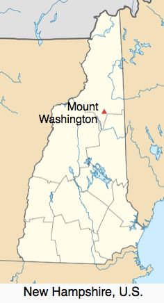
In the White Mountains of New Hampshire to climb Mt Washington, I had an extra half day end of trip.
Having camped on the west side of Washington, I decided to hike nearby Crawford Notch State Park.
Super popular is Ripley Falls, 1mi there-and-back.
I was surprised to find people rappelling Ripley guided by N.E. mountaineering.

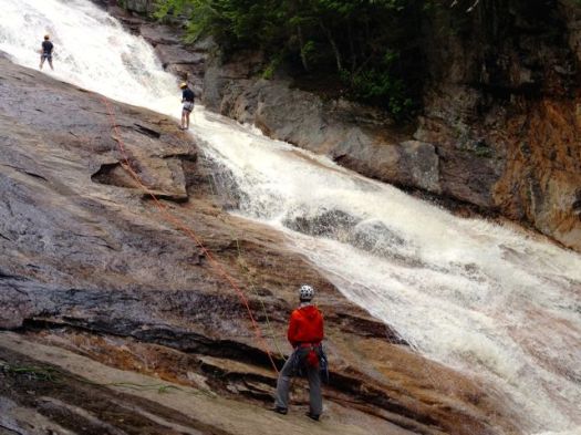
I was told the rappel was fun. But the water VERY cold.
Many turn back at Ripley.
I continued on in the direction of Arethusa Falls, a rough, muddy and rooty track.
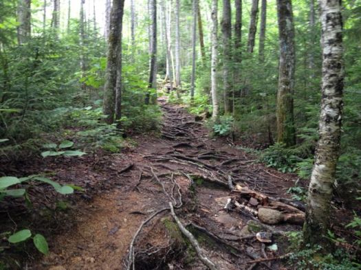
On the 5th of July, that trail was not busy.
Arethusa, at around 140ft high, the 2nd highest falls in the State, was crowded. Dogs, kids, people unprepared for a serious hike. Most had arrived via the Arethusa Falls trail.
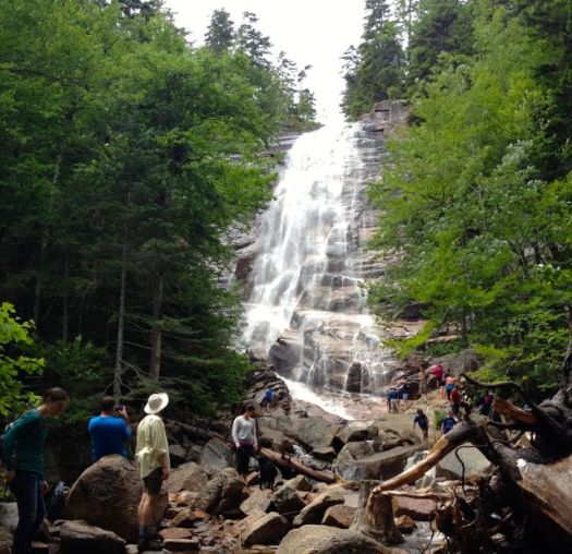
The highest waterfall in New Hampshire is Dryad Falls, which is seasonal. Arethusa is highest flowing year round.
Rather than backtrack, I decided to return via the Frankenstein Cliff trail.
How could you not want to hike something called “Frankenstein Cliff“?
It was the most interesting of the 3 trails.
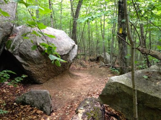
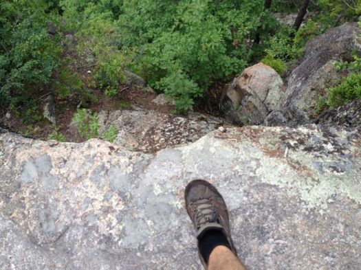
Some cliffside vistas.
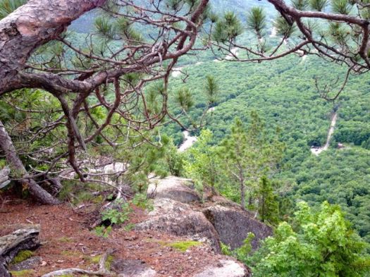
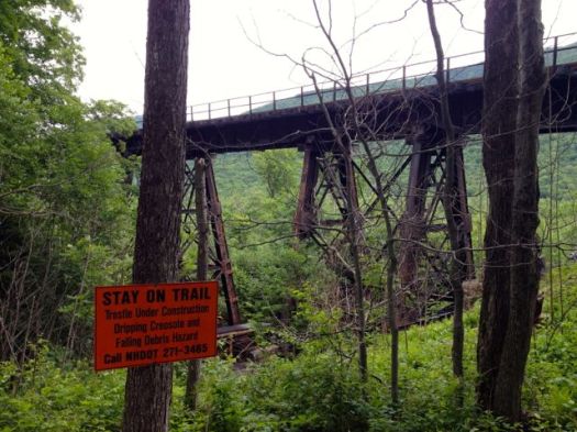
On the way up I’d walked across the train tracks. Coming back the trail ducked under the tracks.
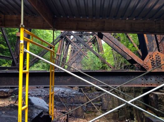
The only downside of my route was a long walk back along the highway to my rent-a-car.
There are better options than the 7mi+ route I ended up doing. 🙂
Two easy-to-visit highlights on the Blyde Canyon Panoramic Route in South Africa.
… Lisbon Falls are the highest waterfalls in Mpumalanga, South Africa.
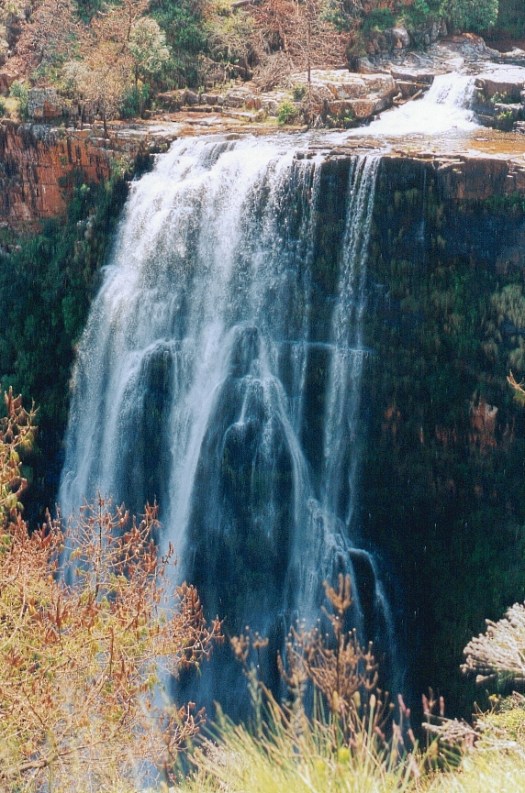
… Berlin Falls is a waterfall in Mpumalanga, South Africa. They are located close to God’s Window and the highest waterfall in South Africa’s Mpumalanga province, Lisbon Falls. …
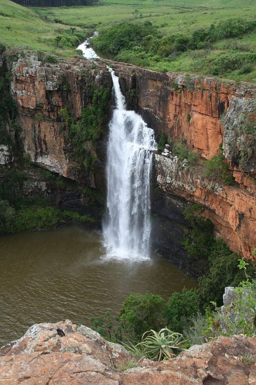
trip report by site editor Rick McCharles
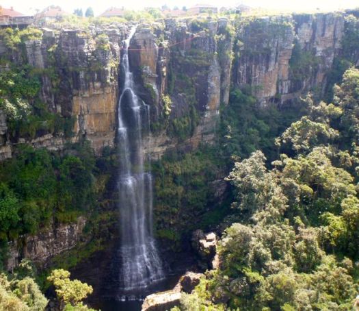
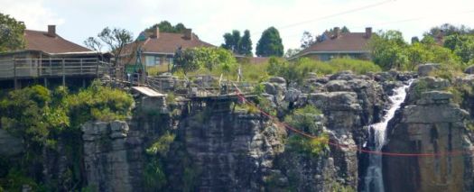
I stopped by the 68 metre freefall not one bit interested in trying it myself.
17 February 2012 | Nicolene Smalman:
Hefty fines have been imposed on the company that owns the Big Swing, and two employees who managed the tandem jump in which Ms Jo-Anne Samuels was killed on October 3, 2009. She undertook the jump with her husband, Capt Hendrik Samuels.
The couple plummeted to the bottom of the gorge of about 60 metres, where they struck a rock at great speed. …
trip report by site editor Rick McCharles
The first stop for most tourists touring Blyde River Canyon is closest to Graskop — Pinnacle Rock.
Cost to park is $1. Ask for a receipt or the gate keeper may pocket your money.
The Pinnacle … is not all that impressive.

I enjoyed, however, hiking around the falls up on to the escarpment. Lovely views.


trip report by site editor Rick McCharles
I would have loved to trek famed multi-day Fanie Botha Trail in South Africa.
But the best I could do was to day hike sections:
• Lone Creek Falls
• Bridal Veil Falls
• Mac Mac Falls
• Mac Mac Pools
Lone Creek Falls, a National monument, is yet another of the dozens of impressive waterfalls close to Graskop, South Africa.
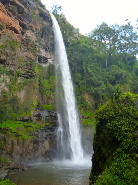
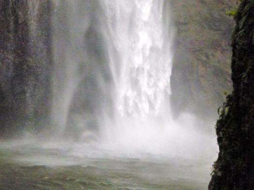
Nearby are the equally impressive, but much more popular, Bridal Veil Falls.
I parked at Ceylon Hut on the Fanie Botha, then ran to Bridal Veil. The trail here is signed for mountain bikes, as well.
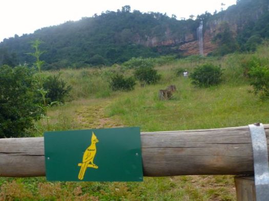
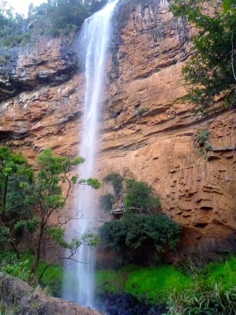
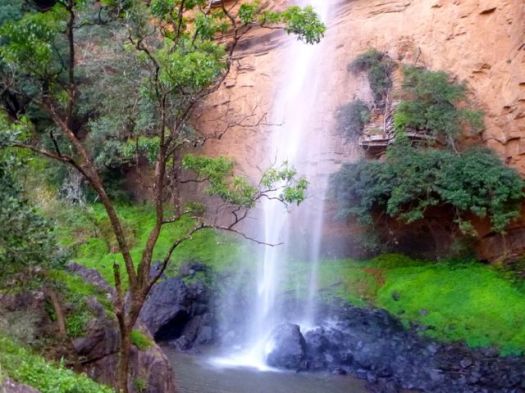
From the base of the falls, there’s a rough scramble up the escarpment. Scenic and challenging.
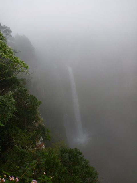
Mac Mac Falls is another National monument. I’d been warned the weather here is often misty and/or rainy. But this was the only day I got the typical slogging in the fog.
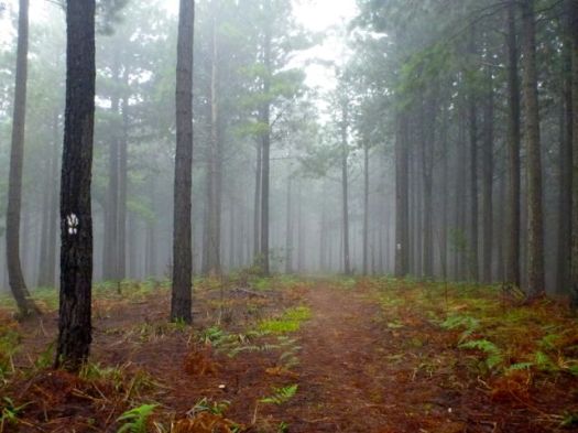
Parking at Mac Mac Falls, I hiked both directions on the Fanie Botha. Towards President Burger Hut (… yep, that’s the real name) is was mellow forest trail.
Towards Graskop Hut you walk the top of a cliff. It must be very scenic, when the clouds are not so low.
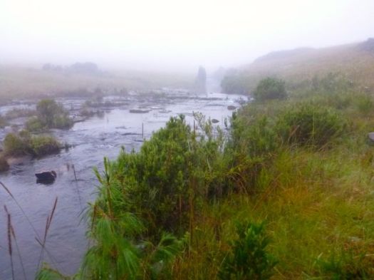
I’m assuming those are the Mac-Mac Pools. 🙂
I obviously did not hike far enough to reach the best of them.
A wonderful hike – well maintained, easy to follow, varied, great facilities and they even gave me the best possible weather without a drop of rain in the middle of the rainy season but the most remarkable thing was I didn’t see ONE other person on the entire trail…?

115km of hiking
3 days and 3 nights
Over 2500m of elevation gain …
Mix of mountains, rain forest, waterfalls, pools, ridges, creeks, pine plantations, long grasses and more!
Starting/end point: the town of Sabie (few hundred kms from Jo’burg and Pretoria in NE South Africa) …
Smorgasbord of South African Beauty – Fanie Botha Hiking Trail
Luny posted a good map.

Starting points are either at the Ceylon Hut (on Ceylon Plantation), or the President Burger Hut (at Mac Mac Forest Retreat), or the Graskop Hut (near the town of Graskop) and parking is available at these points only.
It’s easy to section hike the Fanie Botha, especially with those big loops.
Maritzbos two day trail, total distance 17.1 km
Maritzbos circular three night trail, total distance 30.1 km
Bonnet/Mac Mac Pools two day trail, total distance 39 km
Hartbeesvlakte two night trail, total distance 30.1 km
Mount Moodie/y four night trail, total distance 58.8 or 49.5 km
Fanie Botha five night trail, total distance 71.8 or 62.5 km
Go magazine has a terrific trip article by Anim van Wyk and photographer Lawrette McFarlane:
Opened in 1973, the Fanie Botha Hiking Trail between Sabie and Graskop is the first formally designated trail in the country. …
Be careful on the bridge over the Mac-Mac River in the rain – it’s very slippery.
You hike past the spectacular Mac-Mac Falls – a national monument – on Day 5.
Who was Fanie Botha?
In the 1960s, one Paul van Zyl did a master’s degree on the Appalachian Trail in the United States of America – a trail that stretches over 3500 km in the east of the country. On his return to South Africa he convinced Fanie Botha, then minister of forestry, that hiking trails were a way to make better use of plantations.
Botha’s plan was to develop one long trail from the Soutpansberg all along the escarpment to the Cederberg in the Western Cape. This dream was never realised.
On 11 and 12 May 1973, about 30 hikers hiked the 45 km from the Lone Creek Falls over Mount Anderson to the Mac-Mac Falls, where Botha then officially opened the trail.
Botha promulgated legislation for the national hiking trail system and enabled the establishment of the National Hiking Trail Council in 1975. He could be called “the father of hiking” in South Africa.
There are four huts on the trail:
Ceylon Hut. This was the name of one of the first plantations in the former Transvaal.
Maritzbos Hut. It’s named after the Maritz family to which this piece of land once belonged. They felled trees to make supports for mine shafts.
Stables Hut. It used to be a mule stable. Mules are still used to drag out felled trees.
President Burgers Hut. It’s named after the president of the ZAR between 1872 and 1877.
If you want to sleep in the huts, contact Komatiland ECOTourism, Komatiland Booking office, Nelspruit:
Telephone: (013) 754 2724
Fax: (012) 481 3622
Email: ecotour@klf.co.za
related – Philip Jacobson VIDEO highlights


