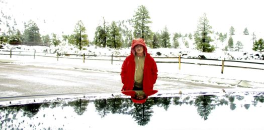
My January 2016 Patagonia trip was cut short. Only a month.
I’m planning to stay longer this time.
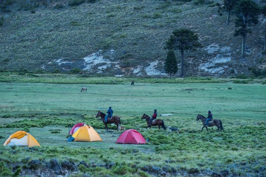
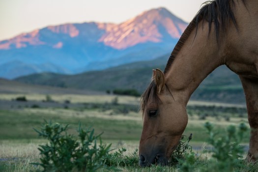
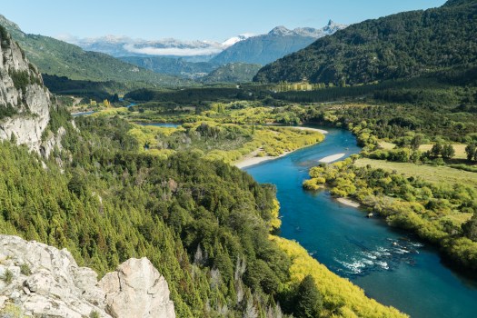
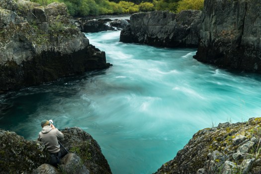
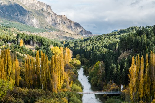
Departing today. Arriving Santiago January 20th. Planning to start hiking out of Mendoza. Head to Bariloche from there for hiking and cycling.
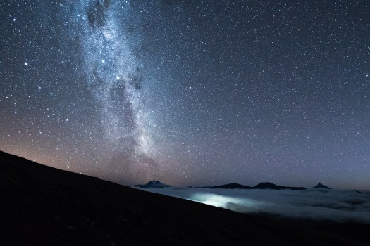
I’m looking at photos of the Patagonian Andes for inspiration. These are from the upcoming documentary Unbounded. It should be released sometime Spring 2018.
While occasionally spectacular during the depths of winter, it’s the spring months of April, May and June when the Gorge reaches its scenic peak.
Blooms of wildflowers, roaring waterfalls, panoramic viewpoints and mossy forest combine to offer singular hiking experiences up and down the national scenic area.
To get you prepared for the season, I’ve put together a list of the 13 best overall hikes the Gorge has to offer, in consultation with the Friends of the Columbia River Gorge.
As ever, it’s important to remember that hiking during the week or early in the morning is highly recommended. The Gorge becomes as crowded as shopping malls in many places on weekend afternoons.
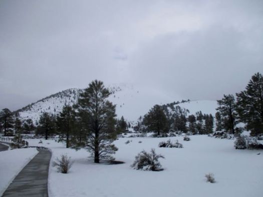
Climbing to the rim has been closed for decades. Hikers were doing too much damage.
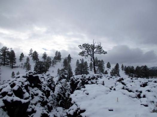
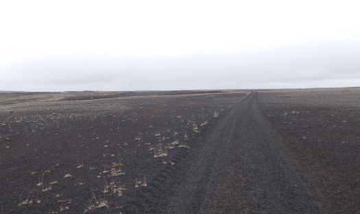
I did the partly wheelchair accessible 1-mile (1.6km) trail Lava Flow Trail and some of the 1-mile (1.6km) Lenox Crater Trail. Both were snowy.
But if you are passing anywhere close to Flagstaff, Arizona, any time of the year. I recommend you make this stop. The Visitor Center is excellent.
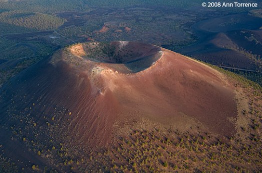
The date of the eruptions that formed the 340-meter-high cone (1,120 ft) was initially derived from tree-ring dates, suggesting the eruption began between the growing seasons of A.D. 1064–1065. However, more recent geologic and archaeological evidence places the eruption around A.D. 1085. …
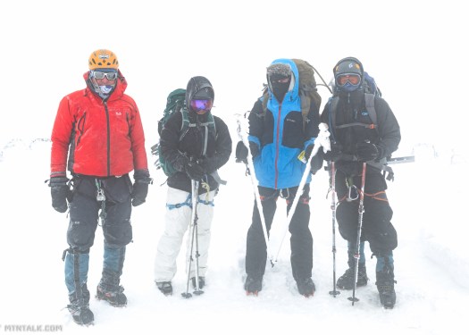
In my experience there are few places with less horizontal ground than Rwanda, which truly earns its nickname of “Le Pays de Milles Collines” (the land of a thousand hills). The third-highest of those approximately thousand hills, at 3,711 meters (12,175 feet), is known alternatively as Mt. Visoke or Mt. Bisoke, and is the subject of this trip report. …
My experience in Rwanda was that a guide was always required. For everything. Car safaris, gorilla trekking, even short 2 mile hikes to see some waterfalls in the rainforest. While this goes very much against the independent, take-care-of-yourself-in-the woods attitude of myself and, I would imagine, the majority of the users of this site, there’s really not a lot you can do about it. Embrace it – even if a guide is completely unnecessary, they will certainly have more knowledge about the local plants, animals, and people than you can possibly hope to retain. So ask lots of questions, tip well, and enjoy. …
“If you haven’t figured it out already we’re not going up. We need to get the hell off this mountain alive.” as our guide and friend, David Adlard, said to us at six in morning.