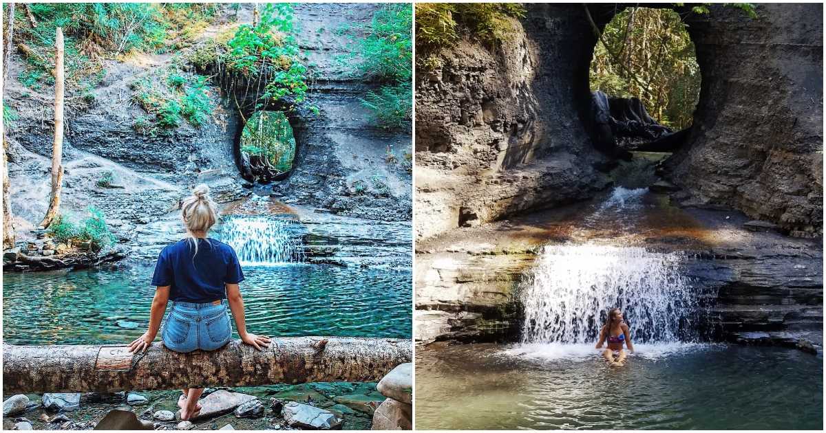
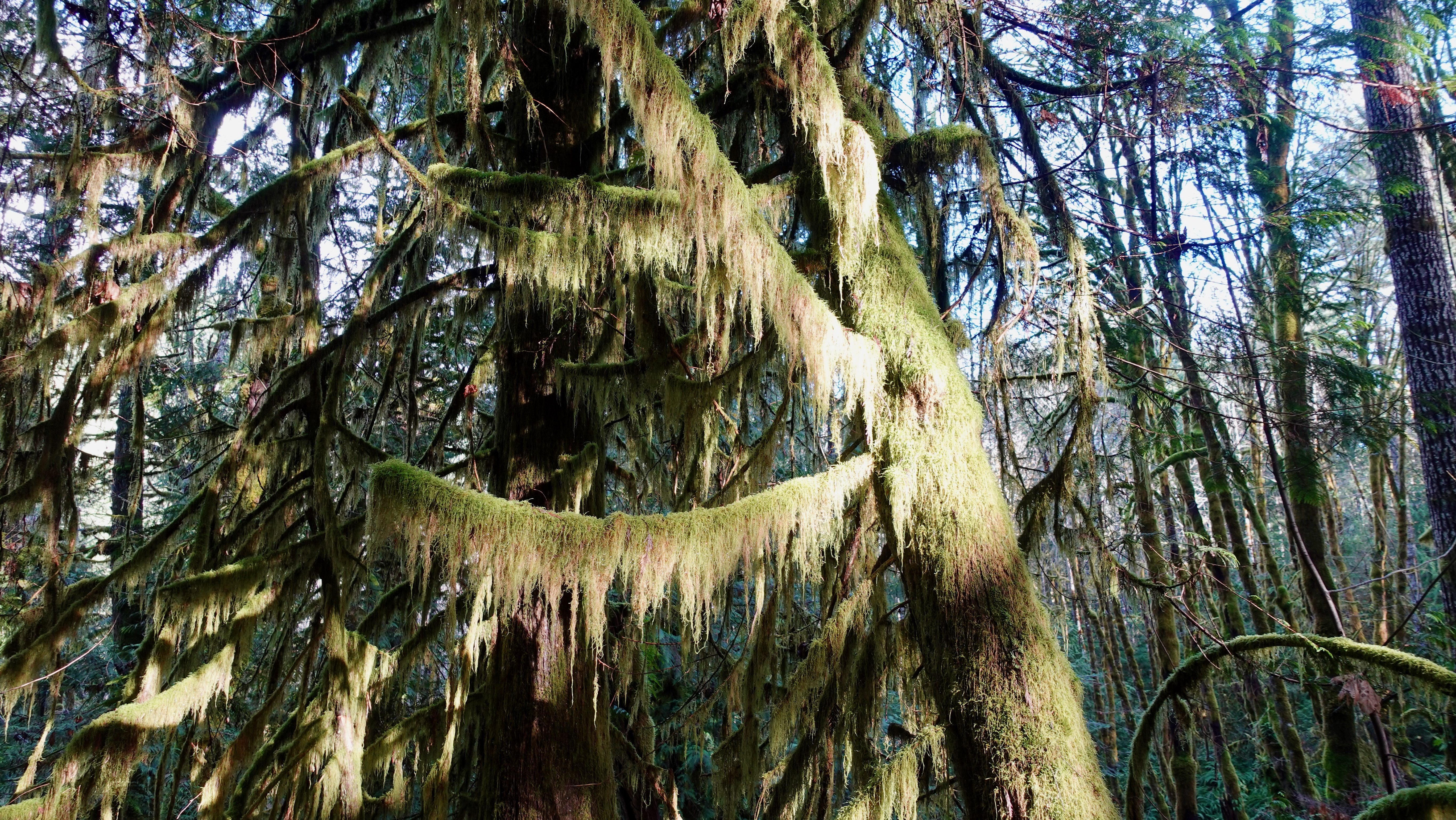
Hole in the Wall, a short day hike, is a is fast becoming a major attraction for the Vancouver Island community.
The hole is all that remains of a decades old water line.
Click PLAY or watch my 2023 video on YouTube. At dawn I had the waterfalls to myself.
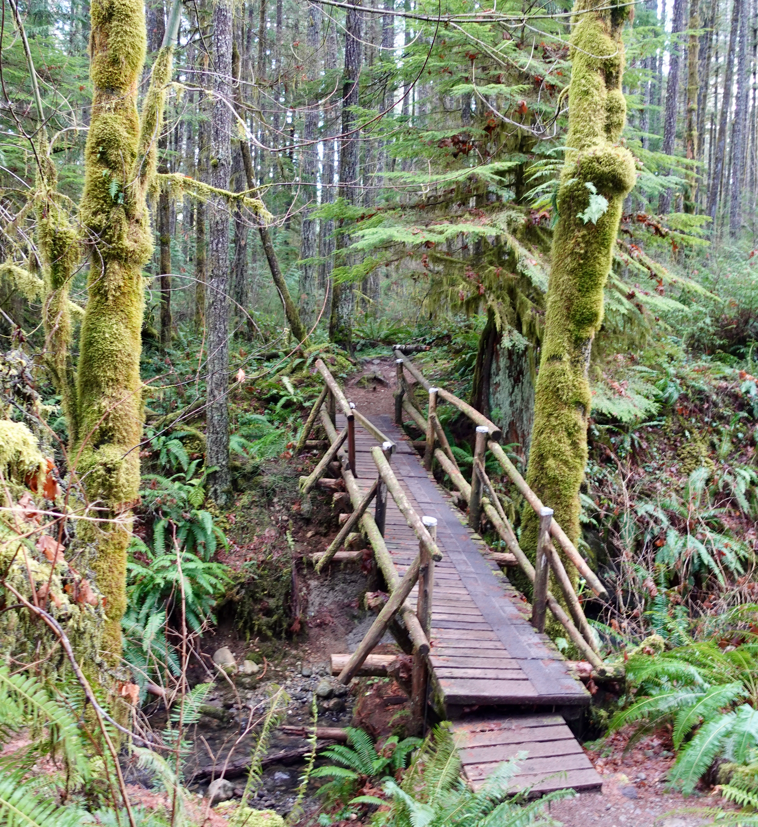
Check in at the Port Alberni Visitor Centre for directions.
Parking can be difficult though the trail itself is only an easy 1.3km return walk.
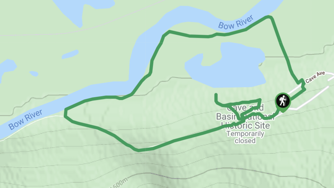
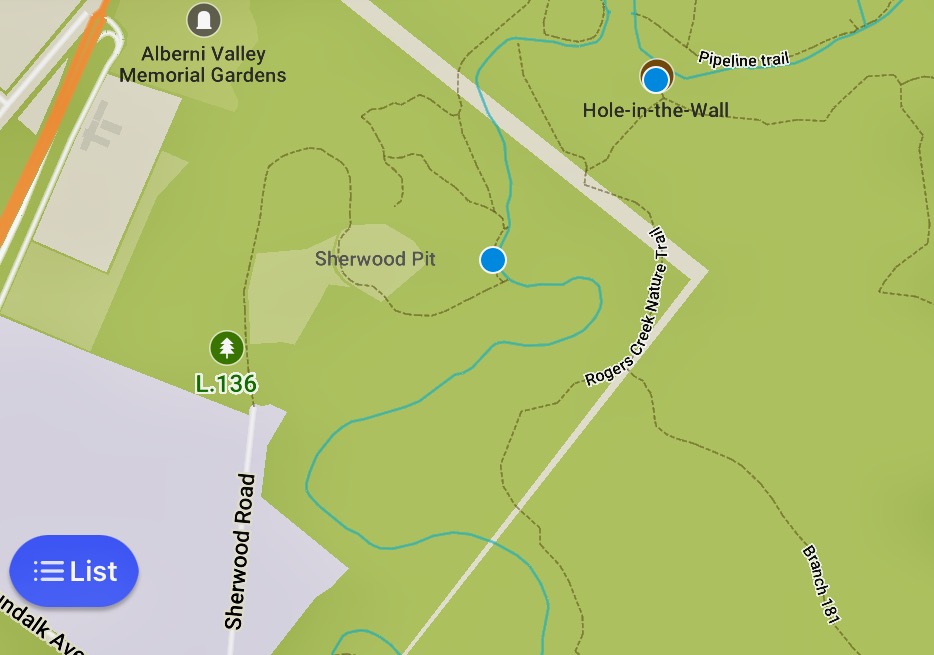
Rather than following the normal route as posted on AllTrails Port Alberni Hole in the Wall, I walked instead from an industrial park end of Sherwood Road.
Definitely muddier and less traveled, I did find it interesting. Nobody else parked there.
Here are the rough trails as shown on Maps.me.
Click PLAY or get a glimpse of my 2021 hike on YouTube.