As I’ve done most of the easily accessible major hikes in Nepal next time I’m planning on Makalu. Cost most likely between $3000 – $4000. I’m hoping to do it for less with one Guide and carrying my own pack.
El Chaltén is the trekking capital of Argentina and I spent more than 2 weeks there to do exactly that: hiking.
The Huemul circuit in El Chaltén is a lesser known route for experienced hikers and absolutely worth the efforts as you are able to experience real adventures and see massive ice fields and panoramic views that will blow your mind! …
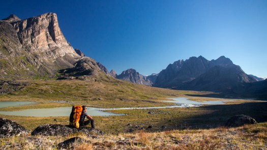
Willem Vandoorne has done a number of the world’s most difficult long hikes. He’s just back from Greenland.
… which was without any doubt the most beautiful I have ever made and which has impressed and touched me deeply. The feeling which I had during those weeks in the wilderness is hard to explain. As I struggled through boulderfields and moraine, watched the sun set from mountain with views unknown to human gaze, and slalommed along countless muskoxen, I no longer felt like a spectator of any kind in this vast wilderness, but was an integral part of it, obeying to the same rules and laws of nature as any animal out there.
My trip was blessed with sensational weather conditions – during the first 4 weeks of the trip I had only a few overcast days with some rain and a few mornings with sea fog – all the rest was just blue skies and warm temperatures. I hiked over 80% of the distance in t-shirt …
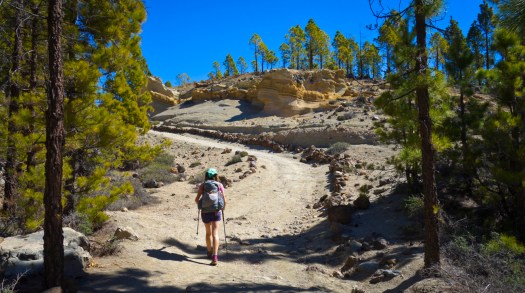
The first 5 and a half days of our trip we spent on La Gomera. Gomera is THE hiking island. It’s small, pretty quiet compared to Tenerife, hitching is soooo frikkin easy (the mostly german tourists all have a rental car and they will pick you up the moment you get your thumb out), and the hiking paths are really well marked. …
On Tenerife we continued along the GR 131 and some local trails. …
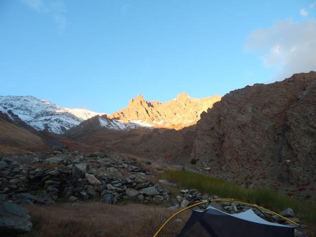
When you sleep under the net and stars, you wake at first light.
In no rush, I enjoyed 3 pots of coffee while waiting for the sun to reach my tent.
Time to GO.
Up. Up. Up.
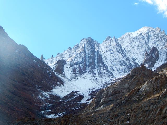
As I drew closer the crossing got increasingly more serious looking.
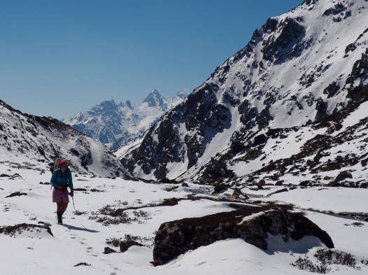
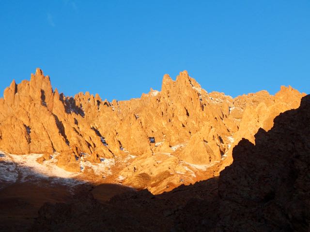
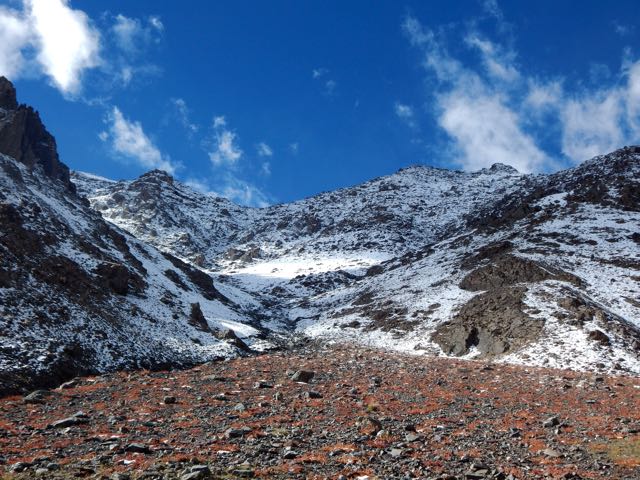
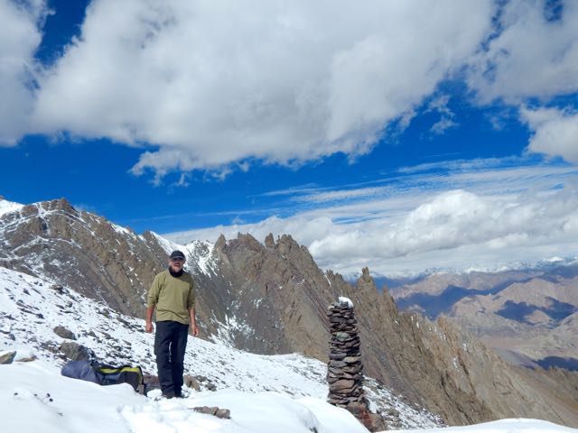
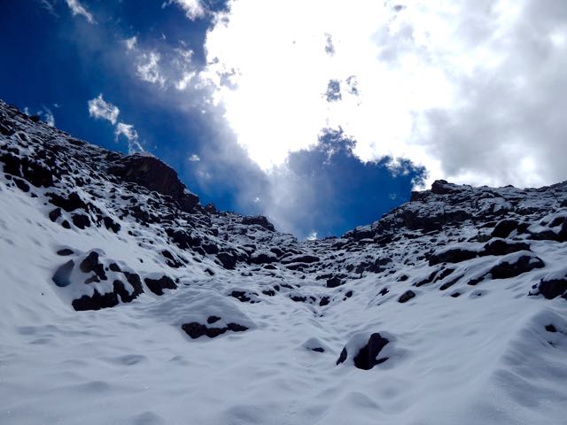
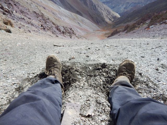
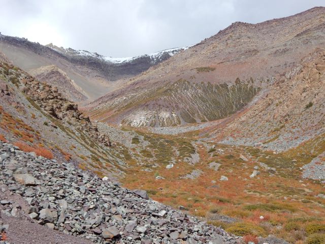
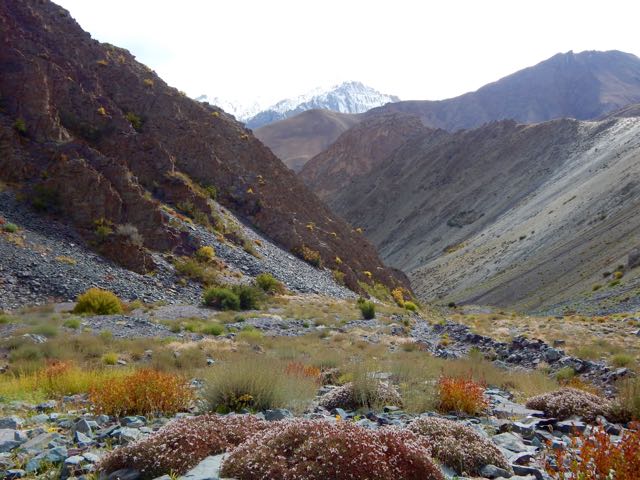
Entering this valley, the trail disappeared beneath the snow.
I was at the same altitude as the snow line on the other side of the Indus.
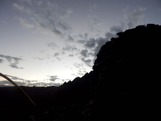
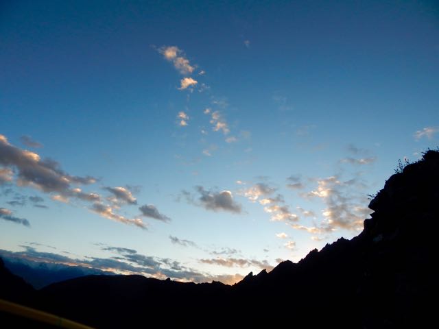
Luckily, the weather was perfect.
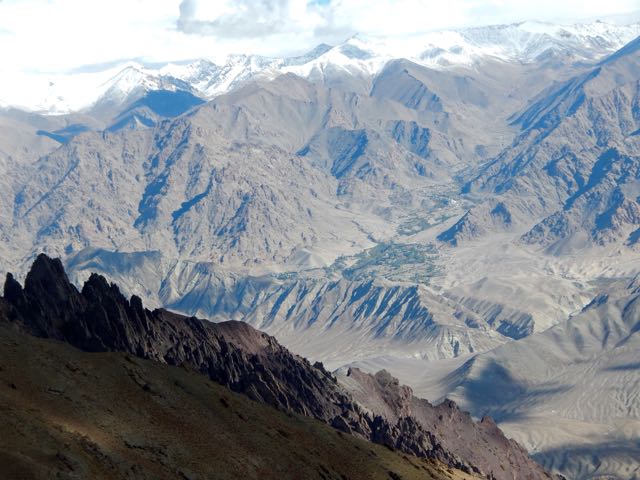
Which notch on the skyline is the pass?
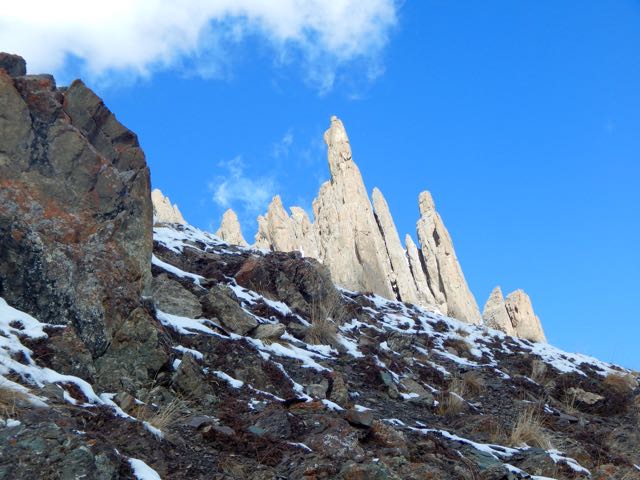
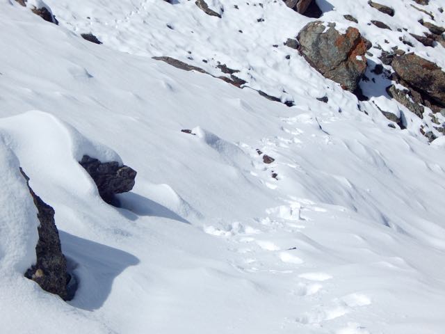
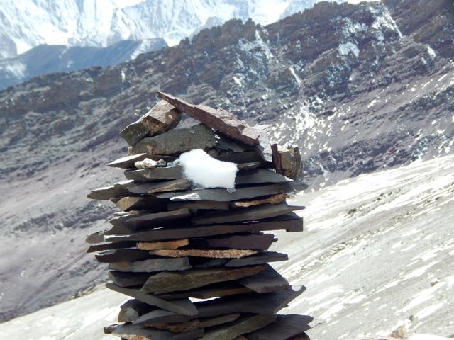
Normally I’d be able to find the route by following cairns.
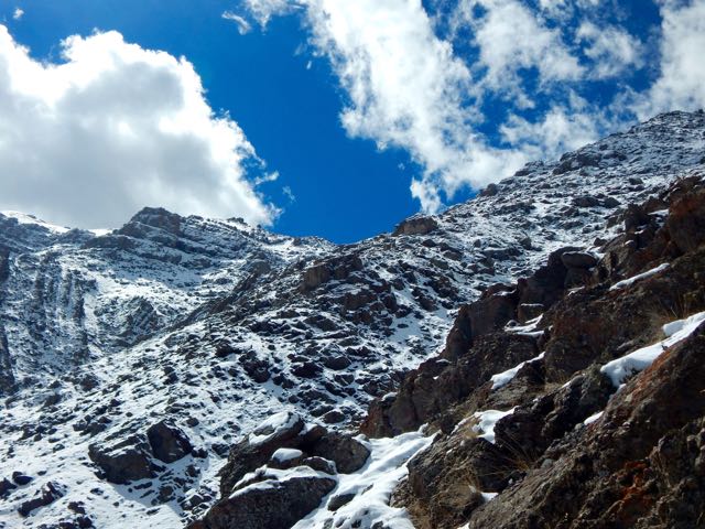
Sadly, there were very, very few cairns. Mostly I made up my own route. The new snow got thicker and thicker.
I was the second visitor here since the snow fell.
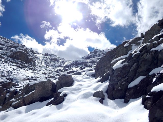
As the morning warmed-up, snow got softer. At the top there were sections of exposure.
The slope got steeper. Finally – pissed off – I dropped my pack and climbed up the slippery, frustrating slope without it.
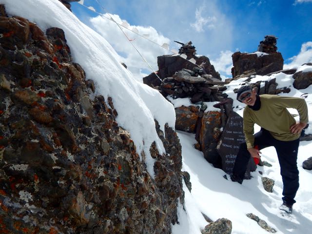
Happy. Happy. I finally saw the prayer flags of Stakspi La 5177m (16985ft).
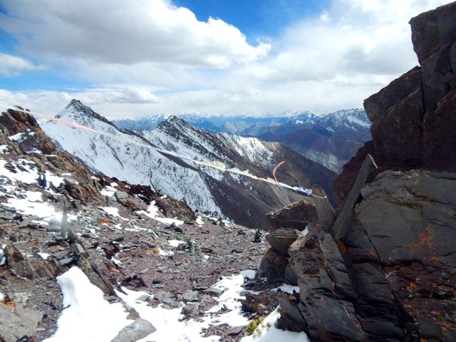
Thanks the Gods. The other side was an easy descent, in comparison. I’d feared it would be as snowy and slippery as the ascent side.
It was an 15 excited minutes down. 35 very motivated minutes back up with the pack. (The alternative – having to retreat on that soft snow could have been disastrous.)
Even better, the downhill was a soft scree slope. Fun. And very easy on the knees and feet.
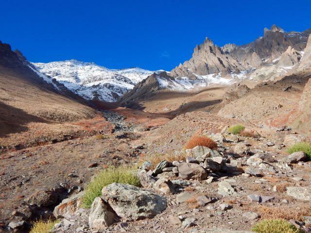
Very quickly I was at the valley bottom looking back at the Pass.
Already I’d concluded to NOT recommend this route on my hiking site. It’s far too dangerous. And it was obvious that very few people ever cross it.
I’d not taken the time to melt snow so had very little water left at this point.
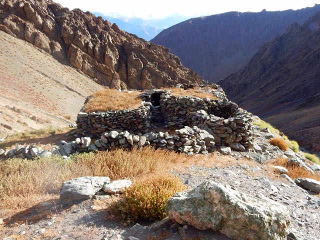
I could see small springs up high on the slopes, but was watching closely for the start of water in the main valley. And for good camp spots. I was exhausted.
I spotted one possibility.
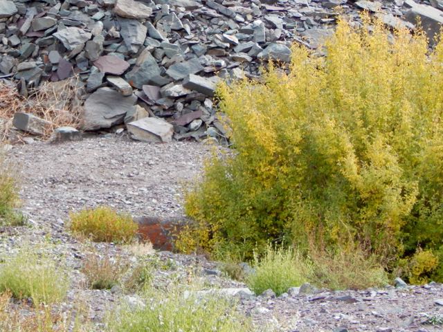
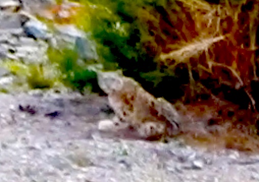
Then 2 snow leopards resting next door! There may be as few as 7000 left in the wild.
One took flight instantly. And was gone.
The other stayed. And stared me down. I franticly fired up my camera into video mode.
screen grab from video
Eventually the second took off after the first, both disappearing into some scrub trees on the mountain slope.
I hung around for another 30 minutes, hoping to see them again. But I believe both stayed in the trees motionless. Watching me.
Needless to say, I didn’t camp there. I moved on down the valley.
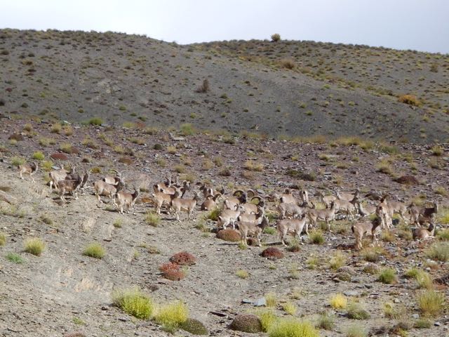
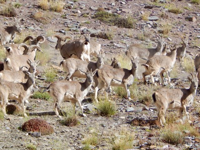
About 15 minutes later I found out why the snow leopards were so close to a human trail. They were on the hunt. This is their favourite prey – Blue Sheep.
Why were these sheep so far from the protection of a rocky wall? I could only guess they’d come down for an evening drink of water.
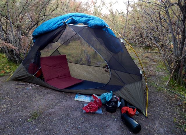
Not much further down I found a protected, hidden spot by the finally running water. And crashed early.
It had been a rough day.
But seeing snow leopards definitely made up for my suffering on the ascent. The Snow Leopard (1978) by Peter Matthiessen is one of my favourite books. In it George Schaller and Matthiessen search for Himalayan blue sheep and Snow Leopard. Schaller eventually spots a snow leopard, but Matthiessen does not.
While the Kungsleden trail is one of the most popular hiking routes in Sweden, as August passes to September and the end of the short arctic summer nears, the crowds begin to thin and the trail grows quiet as the land awaits the coming of winter.
The arrival of September sees the birch forests turn a golden yellow and the blueberries glow bright red, while the wide valleys rise to snow-capped mountains. The days become cold and the air crisp as snow flurries blow over you. The nights become dark again and northern lights once again dance in the sky.
Female hiker with snow covered mountains and autumn colors in southern end of Tjäktjavagge on Kungsleden trail, Lappland, Sweden
Autumn is a wild, colorful, lonely, exhilarating, adventurous, time to experience the wilds of Sweden’s north. …
The mountain huts are seasonal, typically closing in mid September. September 21 for 2014.
Candlelight illumintes room Singi mountain hut at night, Kungsleden trail, Lappland, Sweden
The longest distance between any two huts is 21 km, Alesjaure – Abiskojaure. The average distance for the rest is about 12-14 km.
The price for a bed while the huts are open is between 295 – 330 SEK (in September).
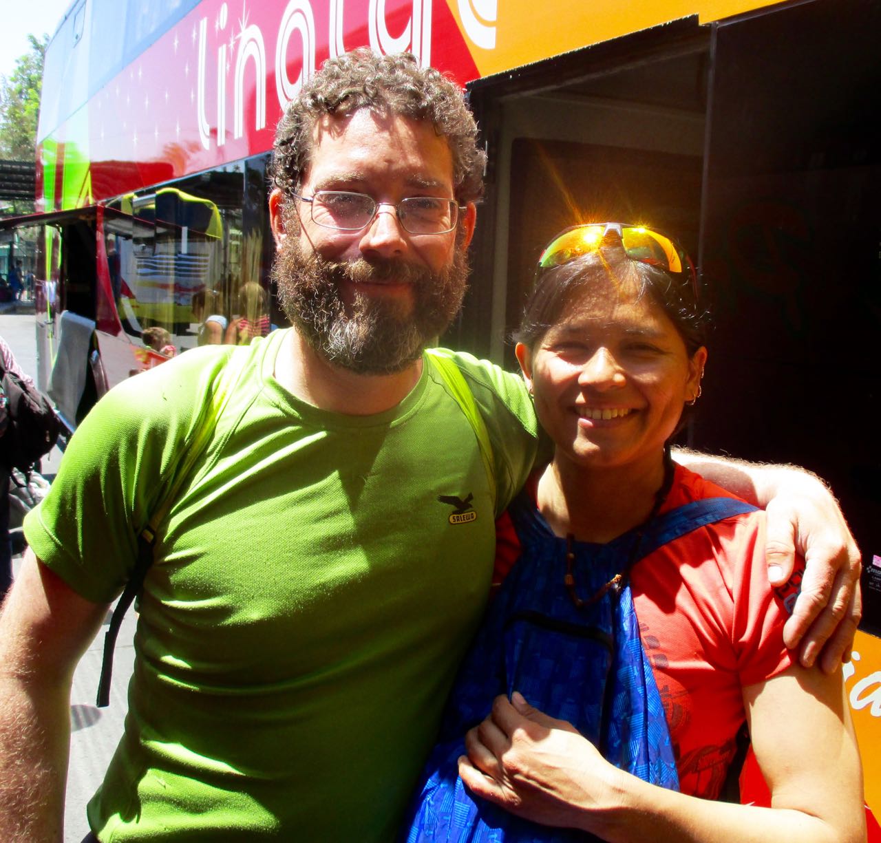
My last day in Chile I was lucky enough to meet up with Jan Dudeck and his partner at the Santiago bus station.
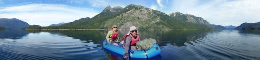
We carbo-loaded on ice cream while I got a personal update on what happened on this their 3rd season on the long distance hike. Carrying an Alpacka packraft on sections.
Once back in Europe, Jan will be updating the wikiexplora page with new data. New alternative routes.
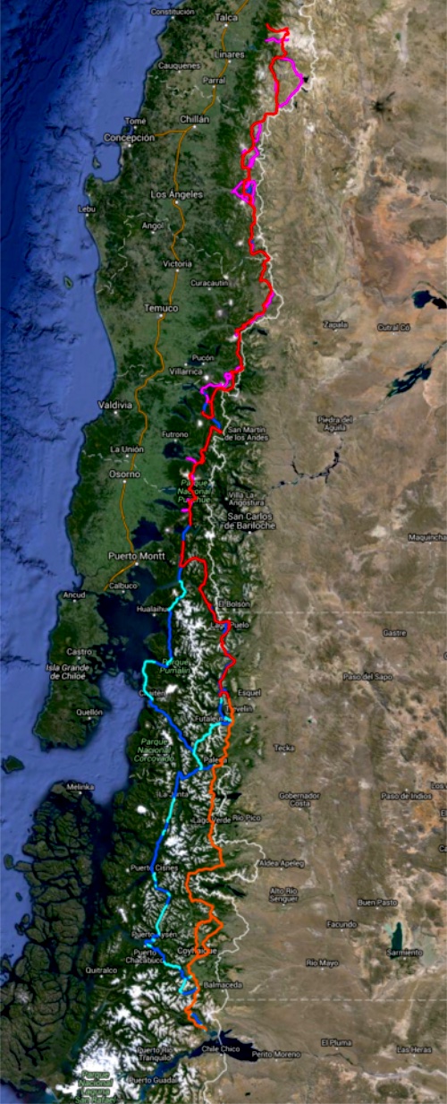
The Greater Patagonian is not an official trail but rather 1500km or more of connected best routes in Chile and Argentina. You’ll be lost for sure unless you have KMZ and GPX files downloaded from wikiexplora.
As they research possible new options Jan actually starts with cached Google Earth images. Then looks for the faint trails he sees there to mark waypoints on their GPS. They don’t bother carrying heavy topo maps.
I tried and failed on section 1 of the Greater Patagonian in January. But am very tempted to go back next Jan/Feb to try other sections.