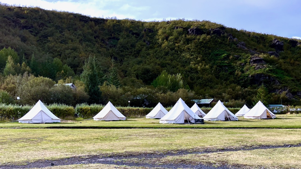
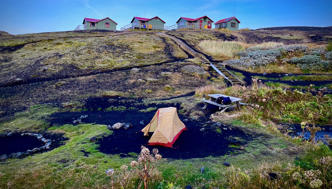
Volcano hut offers these luxurious rental tents. Glamping. 😀
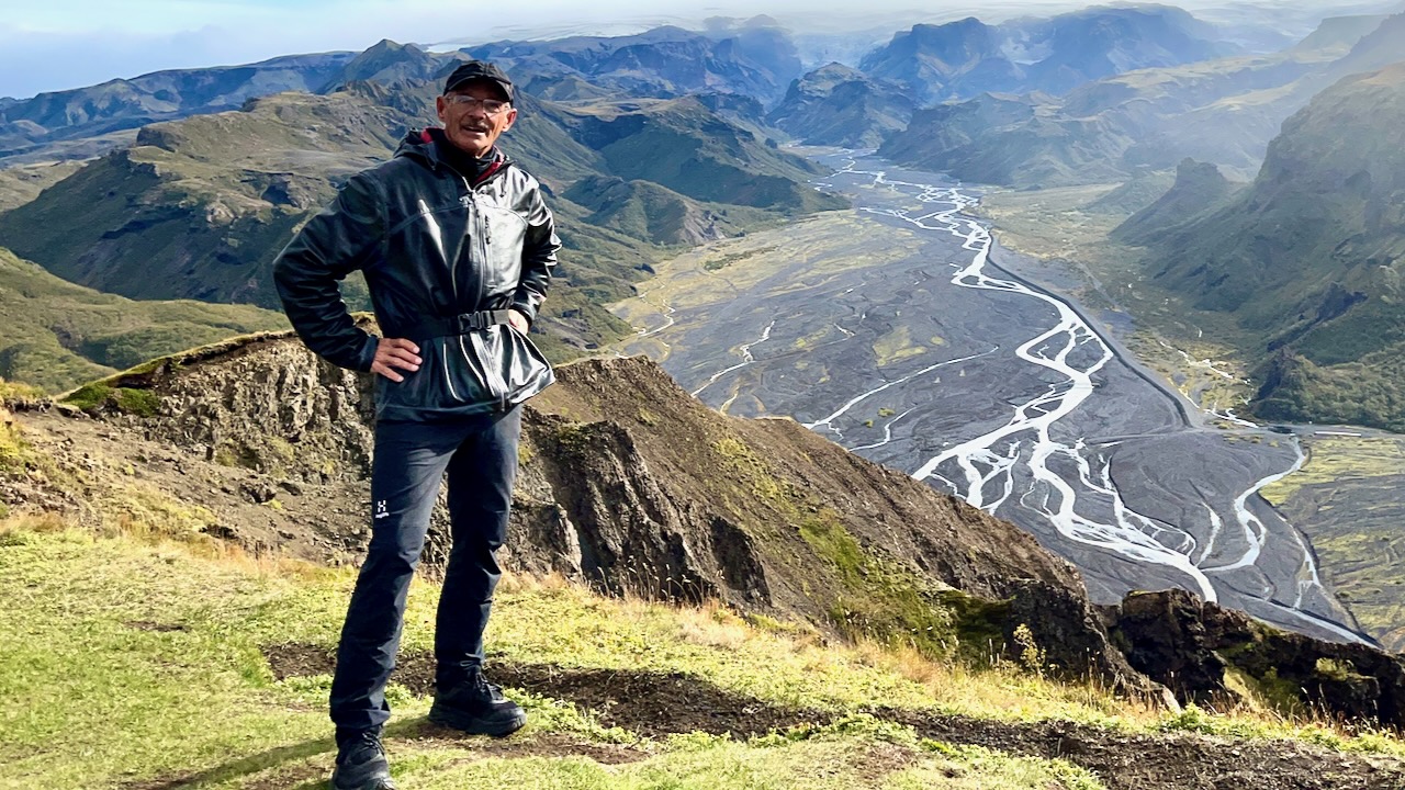
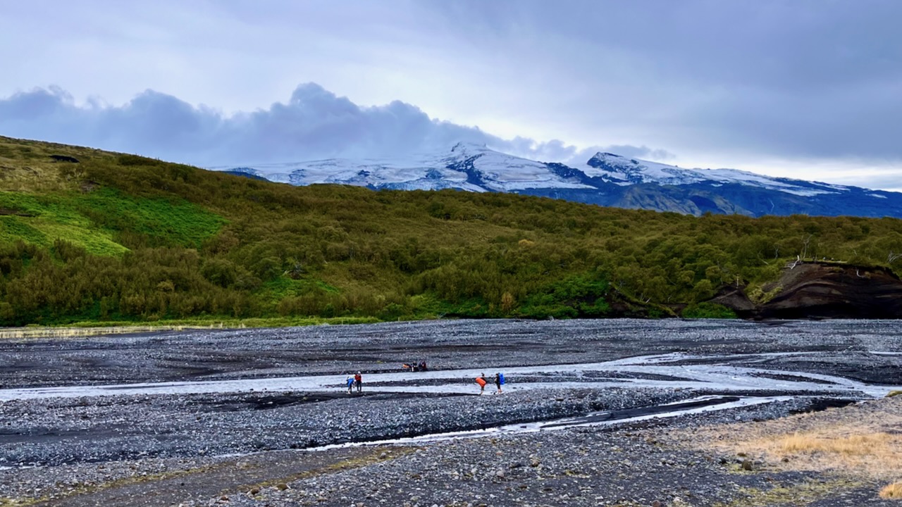
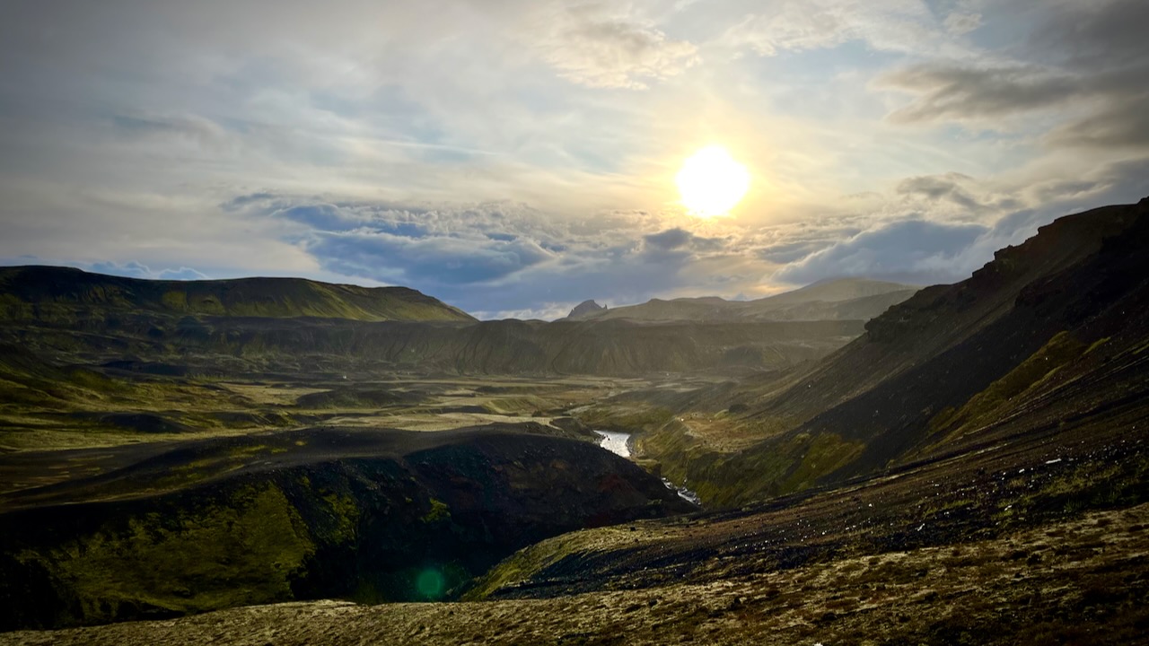
I dropped my pack and — as the weather was good — hiked up the closest viewpoint with most everyone who had arrived with me.
Wow. This is the Iceland I remember.
I planned to cross this river on foot when I returned.
We took a different trail down to Langidalur camp. Then hiked around the mountain back to Volcano.
It was only 13.5km to the first official campsite Emstrur / Botnar so I was in no rush.
I took a lot of photos. Shot plenty of video.
River Crossings
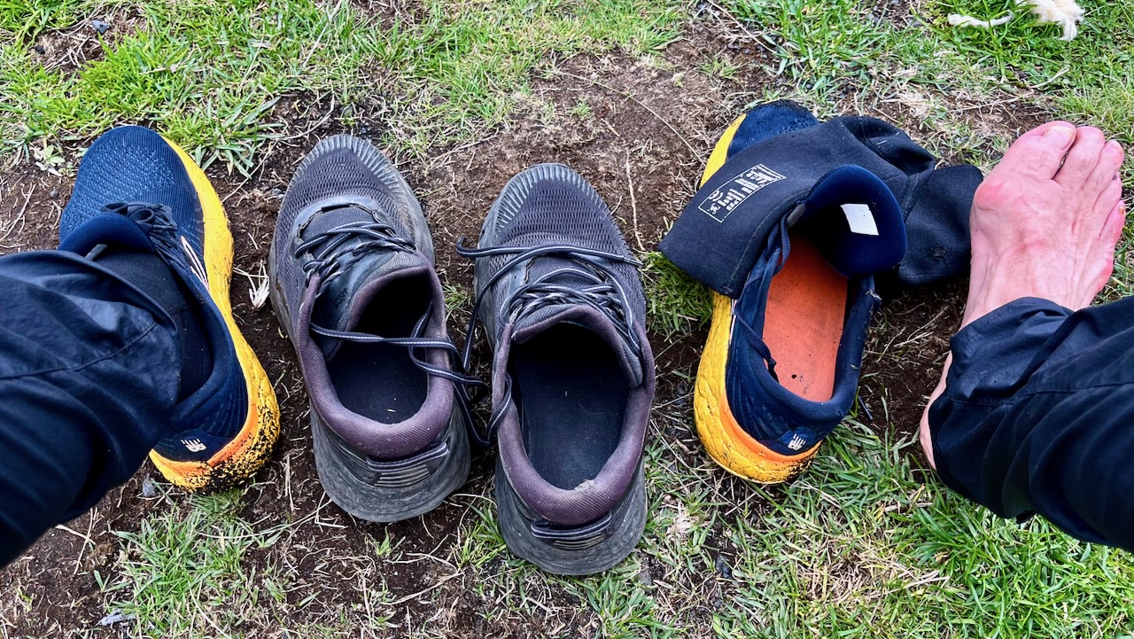
The most dangerous part of hiking Laugevagur are the river crossings. Plan carefully what footwear you want for wading slippery stones in (potentially) a thigh high. strong current.
I hiked in approach shoes. Used trail runners with neoprene booties for the river crossings and around camp.
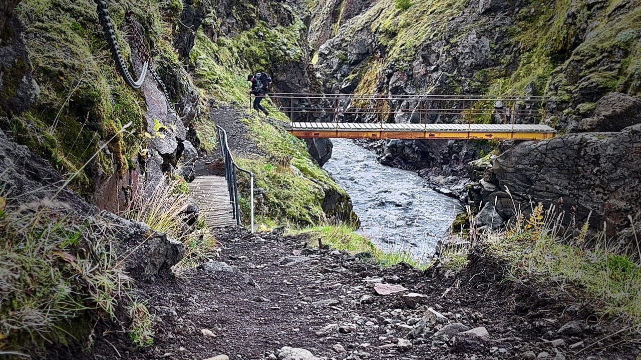
Once in a while you have the luxury of a bridge.
Most available bridges are across gorges too steep to wade.
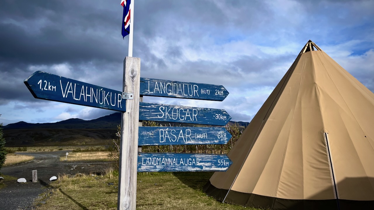
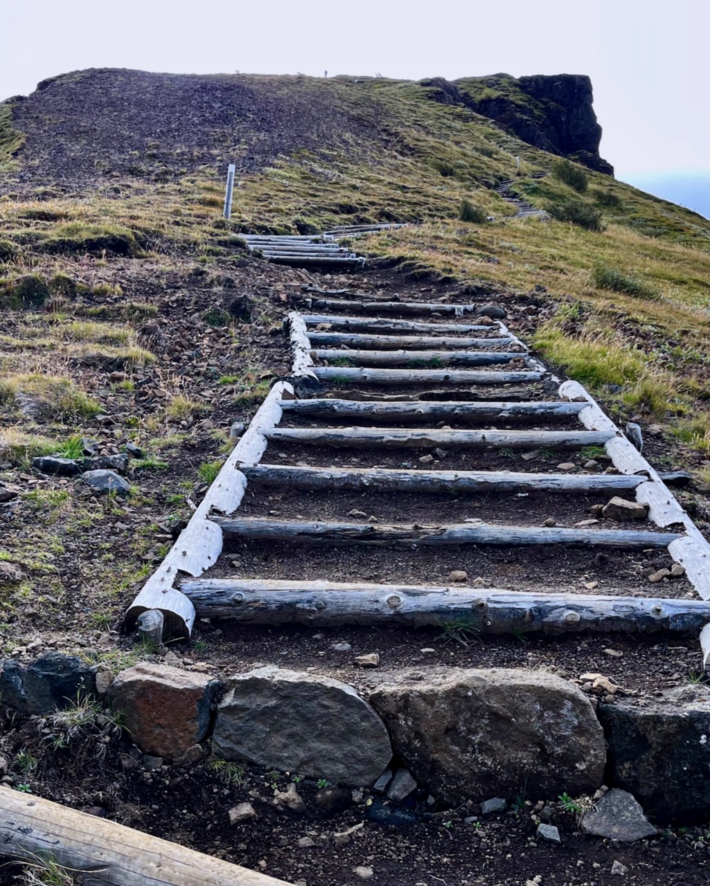
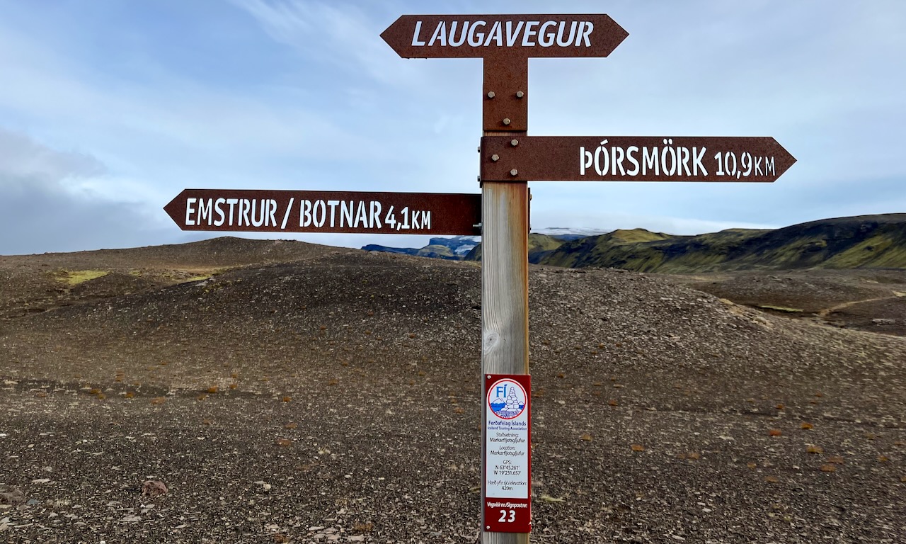
The trail is fairly well signed.
IF you have good visibility, it’s not easy to wander off trail.
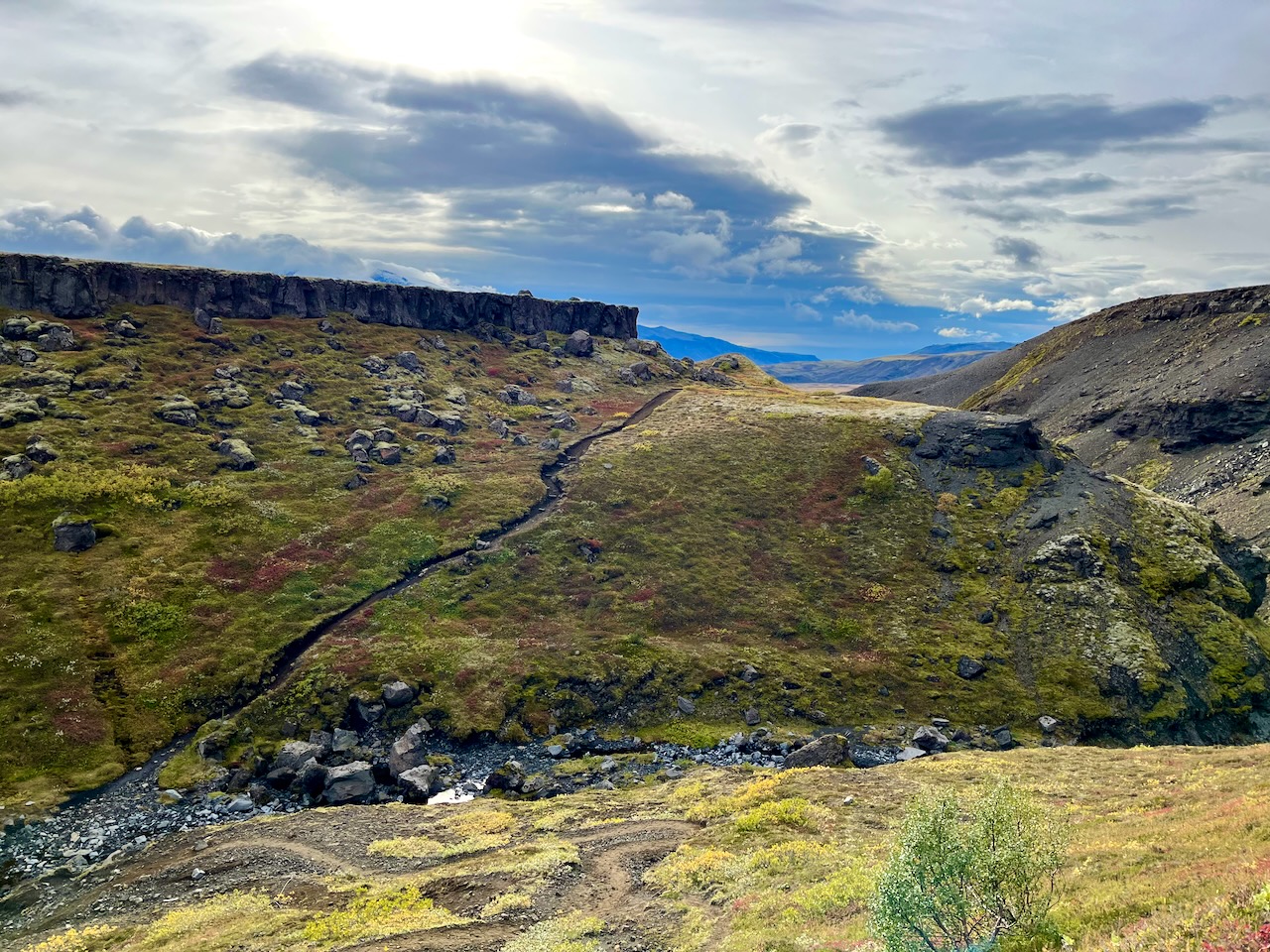
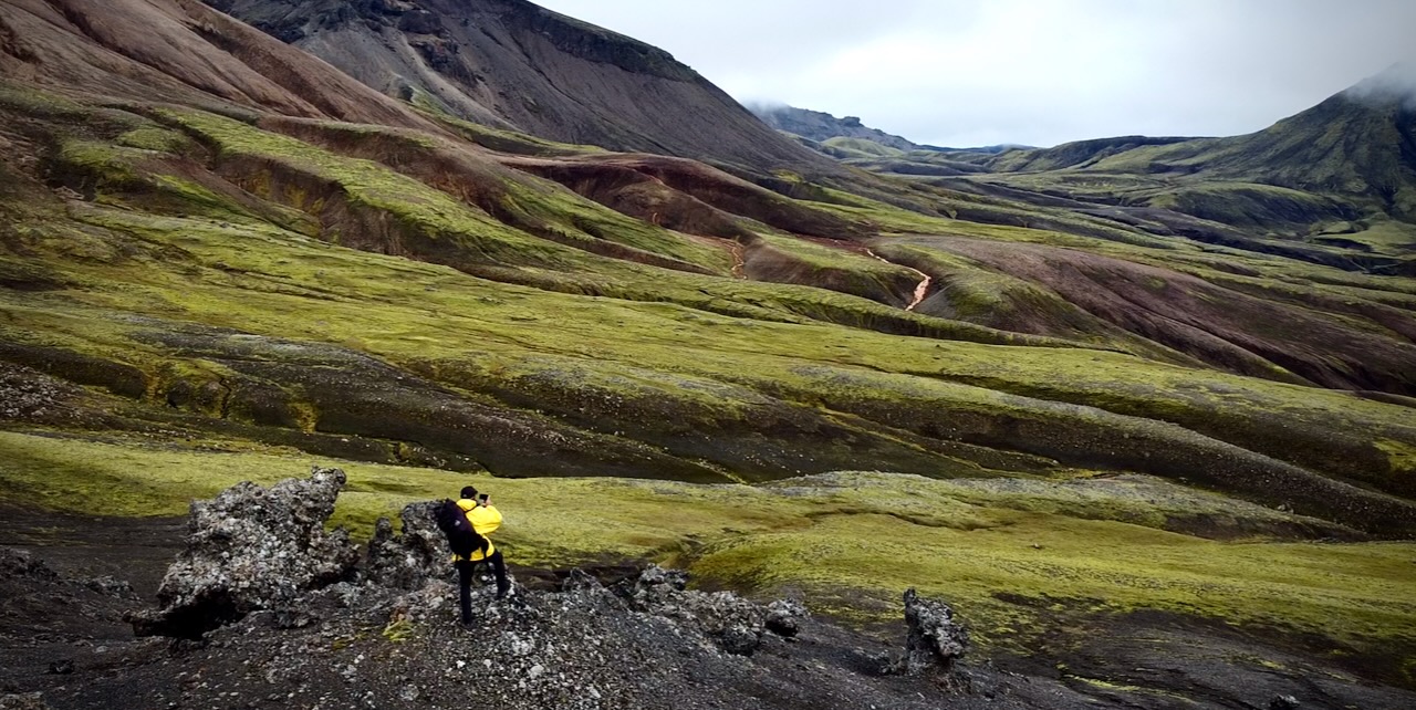
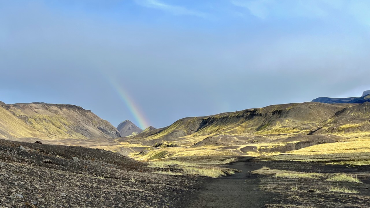
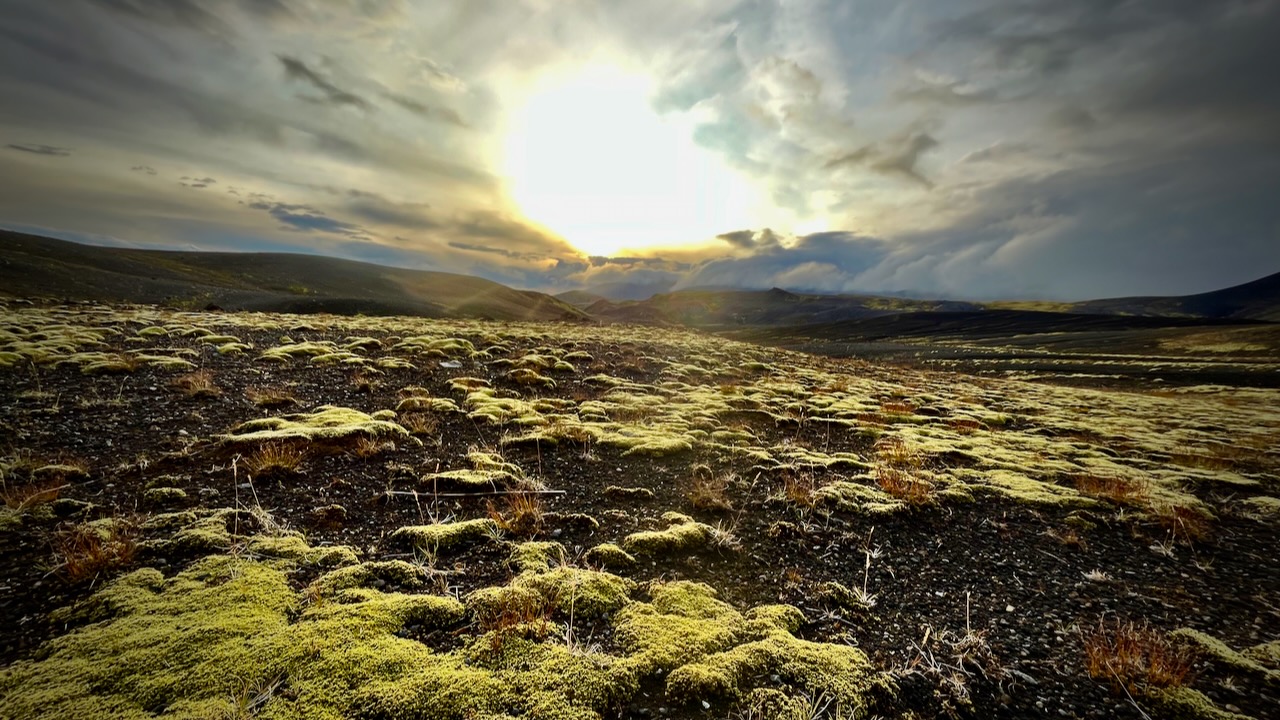
Weather changes frequently. Sometimes drastically.
I love the bleak, treeless landscapes when the sun is low.
I’d camped at Emstrur Botnar 5 years earlier and liked the tent sites, somewhat protected from the wind.
I was probably making a mistake going so late in the season. Laugevagur could shut down any time after Sept. 11th due to weather.
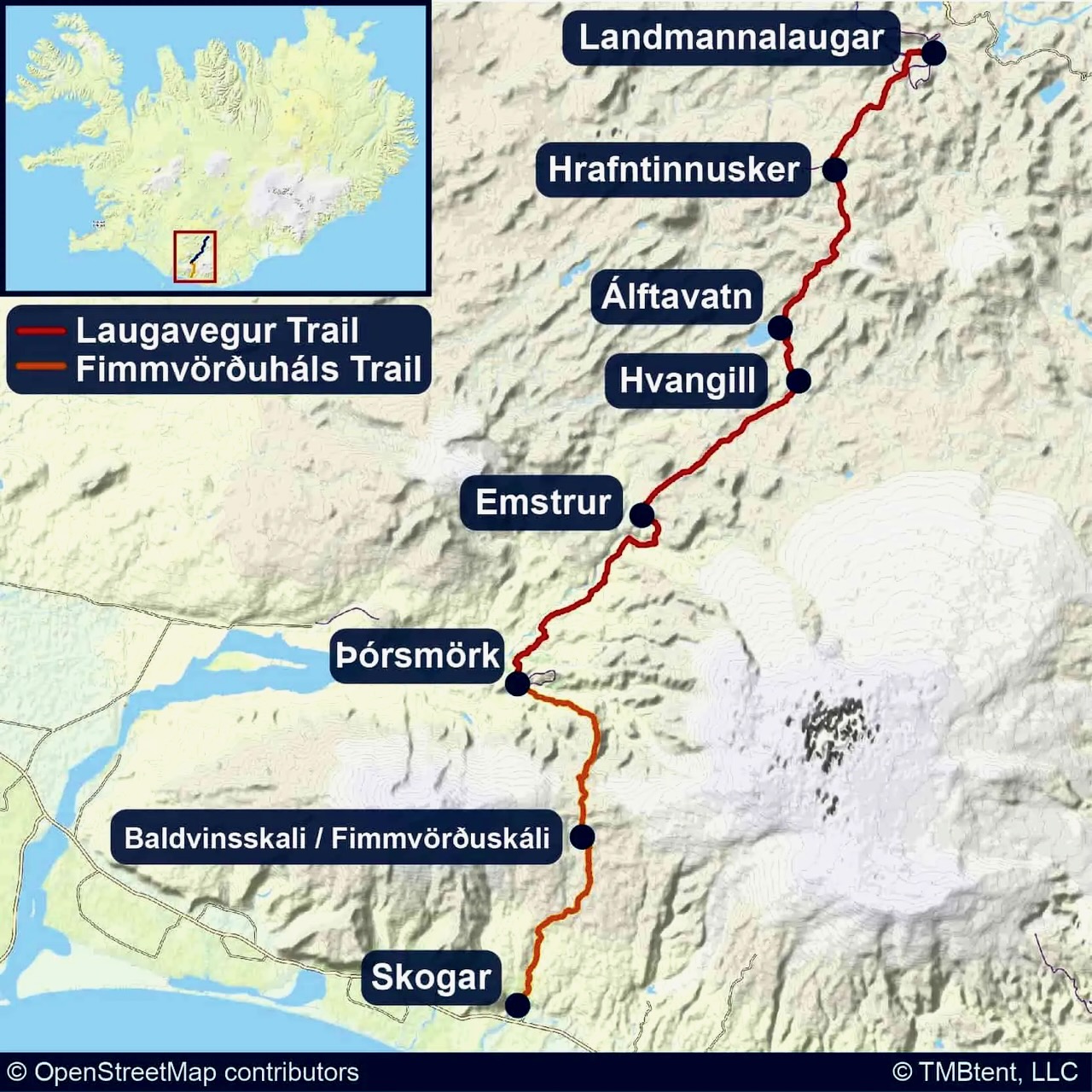
All agree that Laugavegur is the best hike in Iceland. It’s fairly close to Reykjavik. There are a number of transportation options to get to the trailheads.
Cost
For me as a tourist, Iceland has been by far the most expensive nation. And I’ve been to over 90 nations.
Bring. Money. $$$$$
You probably don’t need any Icelandic currency as they accept credit card almost everywhere. The notable exception is local buses that only take cash or payment by their own app.
Food & Fuel
Knowing that food is expensive and limited in variety, I brought quite a bit of camping grub with me on the plane.
I bought the rest in Reykjavik. And bought a small canister of very expenisve fuel.
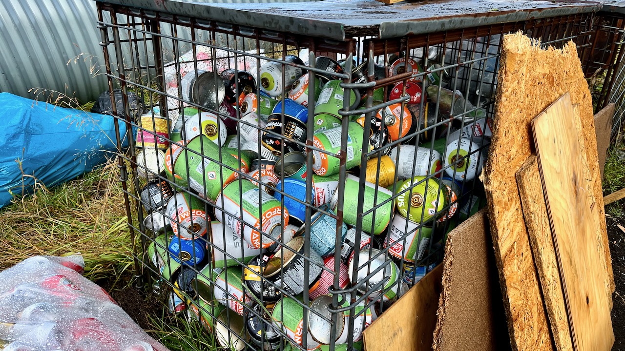
Of course there are hundreds of partial containers at the trailheads, but I didn’t want to risk not having fuel.
Fuel canisters left behind at Langidalur, Sept. 2023
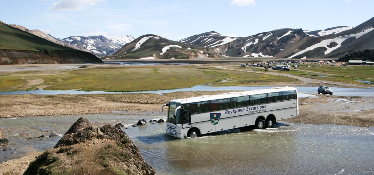
Transportation
Deciding on this adventure last minute, I was excited to do it late in the season when there would be fewer hikers. Of course, bad weather is a greater risk.
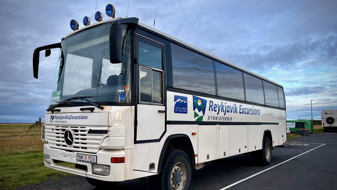
What I didn’t realize until arrival is that bus service to the trailheads started shutting down Sept. 11, 2023.
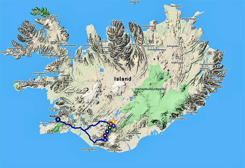
I decided to take the Reykjavik Excursions bus to Þórsmörk on Sept 13.
I’d YOYO the Laugavegur — hiking it both ways back to my starting point. Then continue over the Fimmvörðuháls pass to Skógar on the coastal highway. From there it would be easy to find transportation back to Reykjavík.
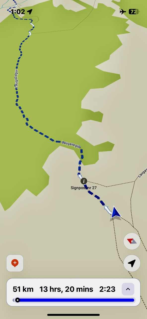
I did carry a paper map as back-up, but mostly used the free Maps.me app offline whenever I wanted to check that I was on track. It’s excellent for Laugevagur and most major hikes worldwide.
The one time I really needed Maps.me was coming in to camp in the dark with headlamp. It’s very easy to get confused when you can’t see the next post in the distance.
Electronics
There’s no access to power on the trail. In order to keep your devices working, bring enough power bank batteries. I brought two 20000mah batteries on my hike.
Be sure to carefully store your electronics in waterproof ways. It’s difficult to keep the rain out.
Weather is still good. Yet the tourists have mostly headed home.
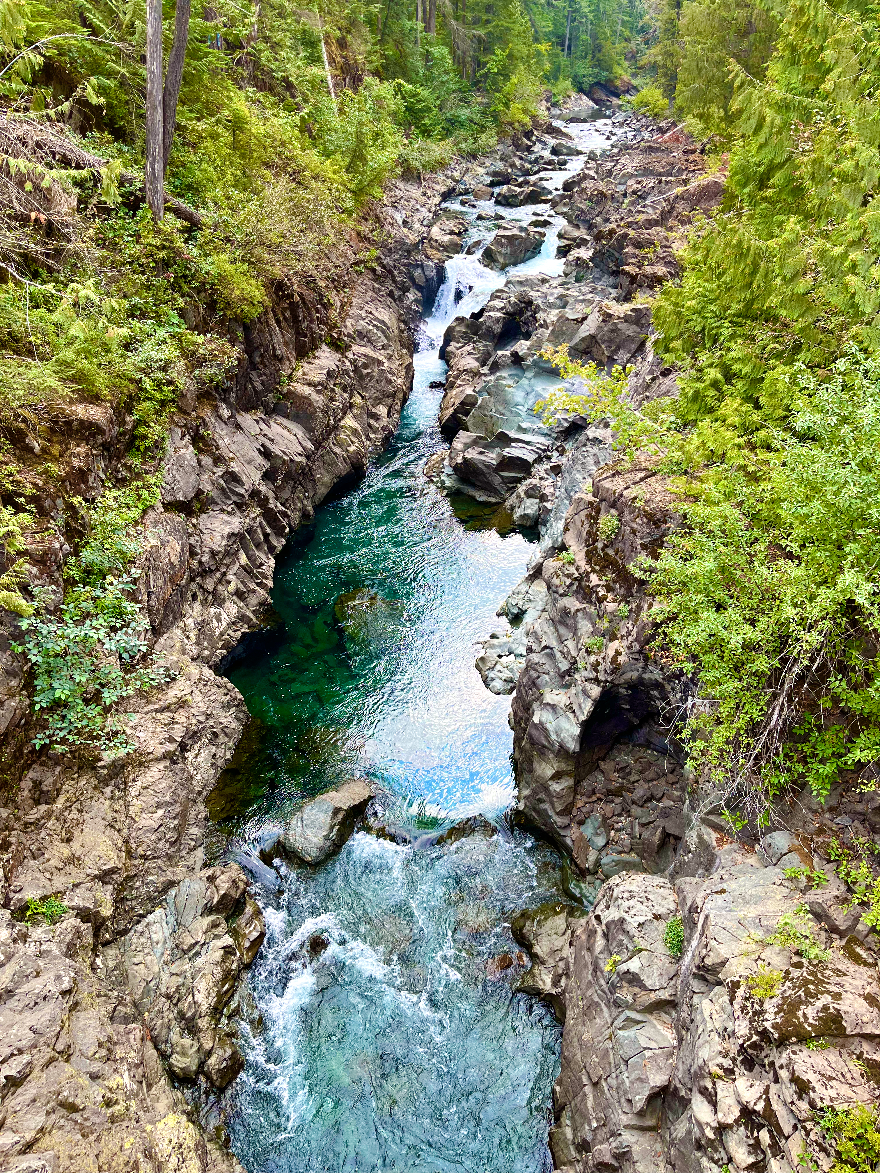
I’d always wondered if it was possible to cycle logging roads — then bushwhack to the trailhead of Della Falls on Great Central Lake.
As expected, it’s nearly impossible. I never made it. 😀
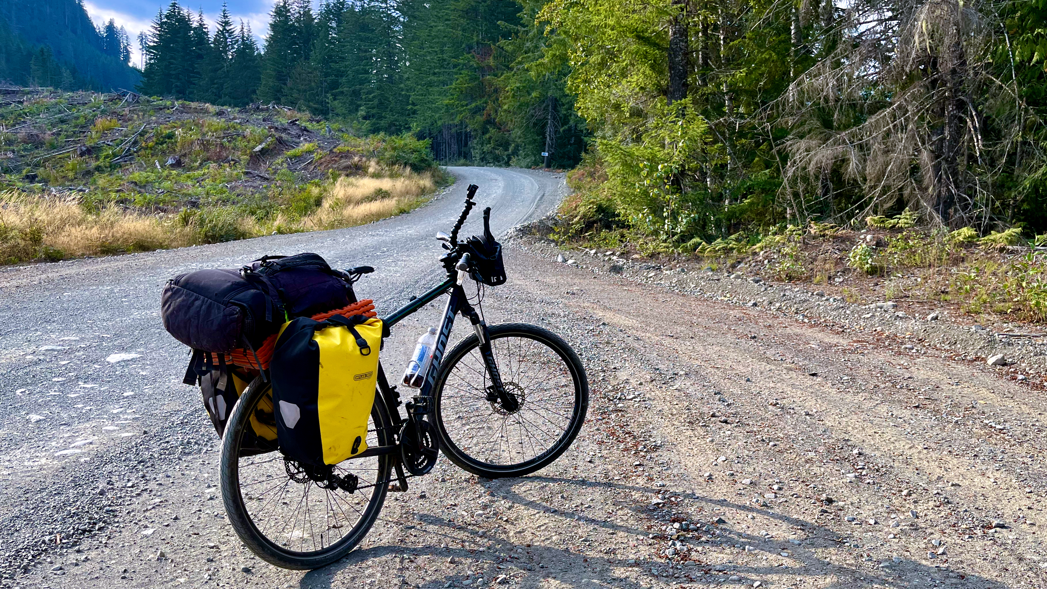
But I’d wanted to do a gear check on my old Ghost touring bike in any case. Della Falls was an excuse to get out into the wilderness.
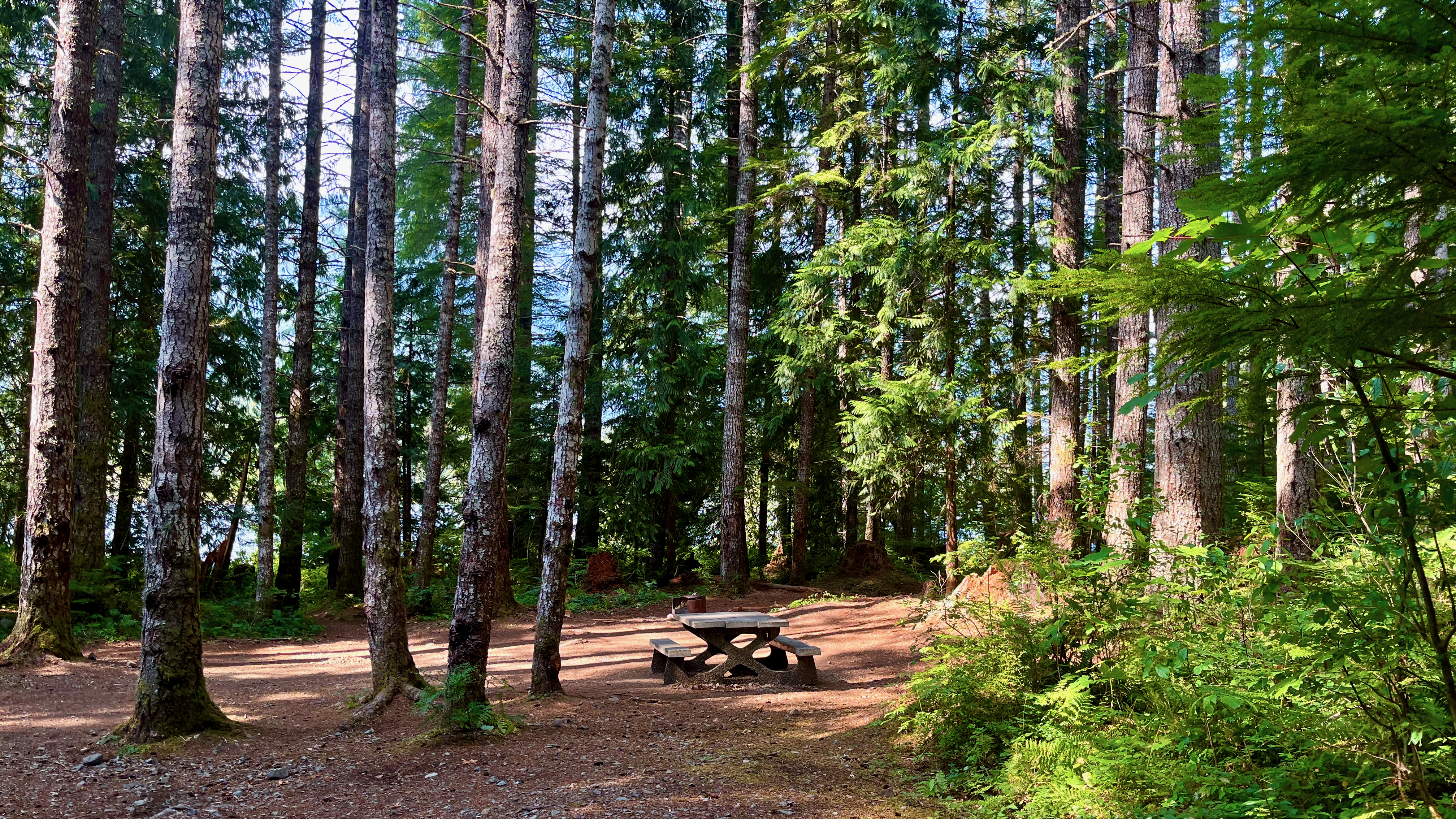
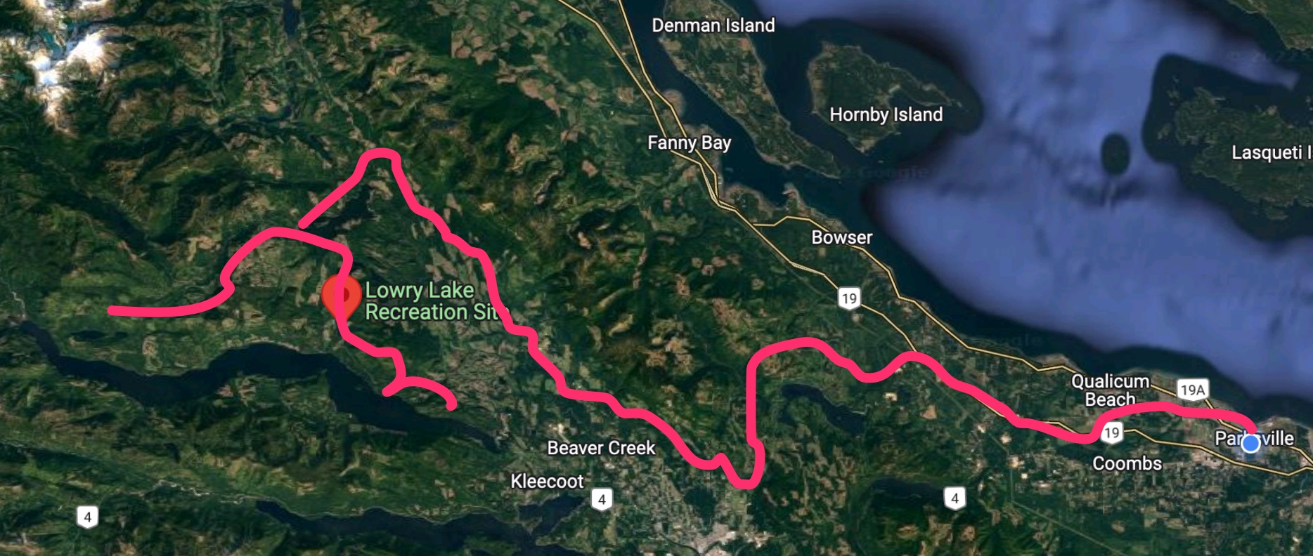
The only official campsite in the area is Lowry Lake. Very nice. But I passed by too early in the day. So ended up wild camping 2 nights.
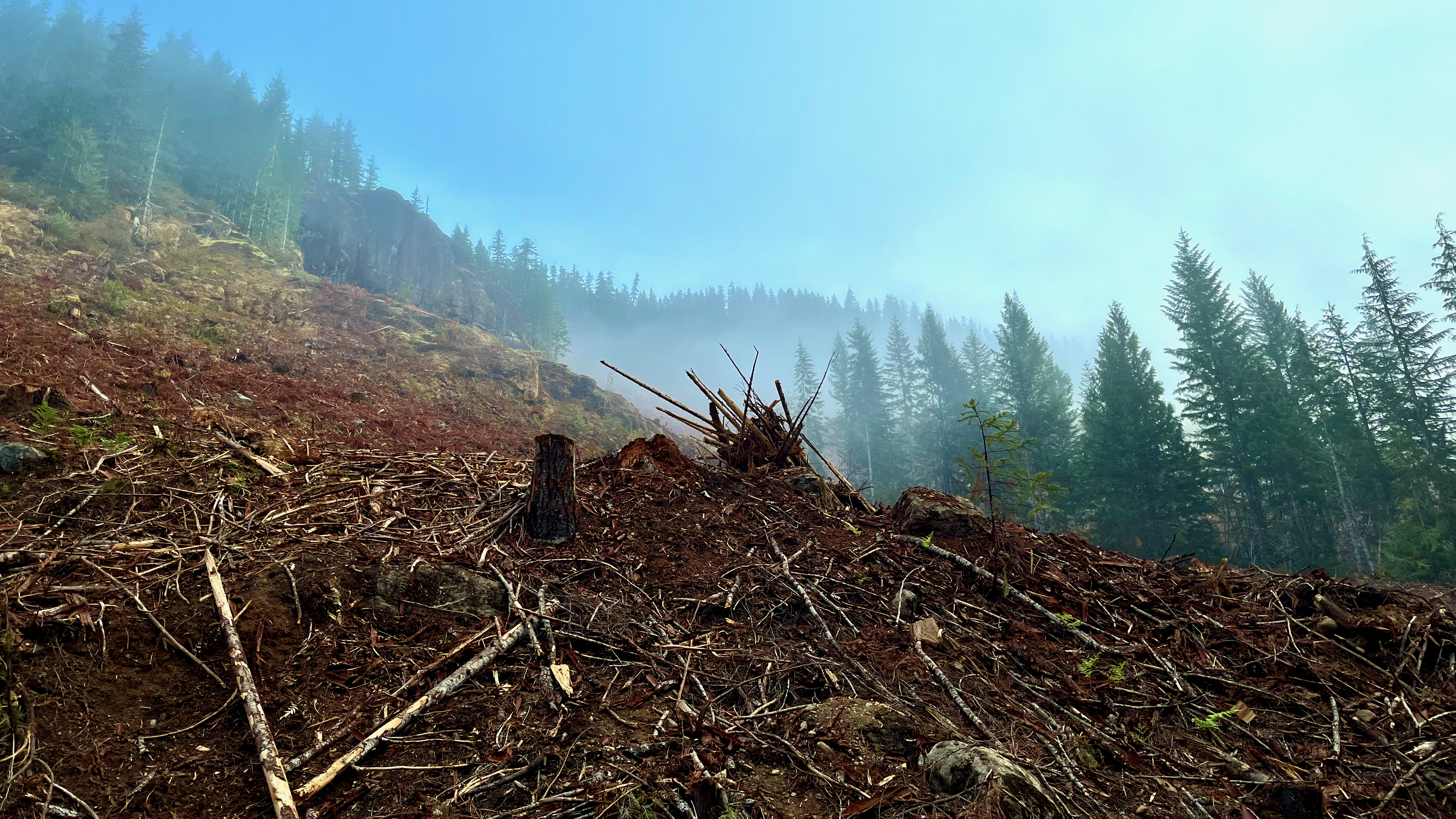
Logging is horrible on Vancouver Island. Very few people see the vast swaths of clearcut hidden away from pavement.
BUT they certainly make the island wilderness accessible for anyone on a good bike.
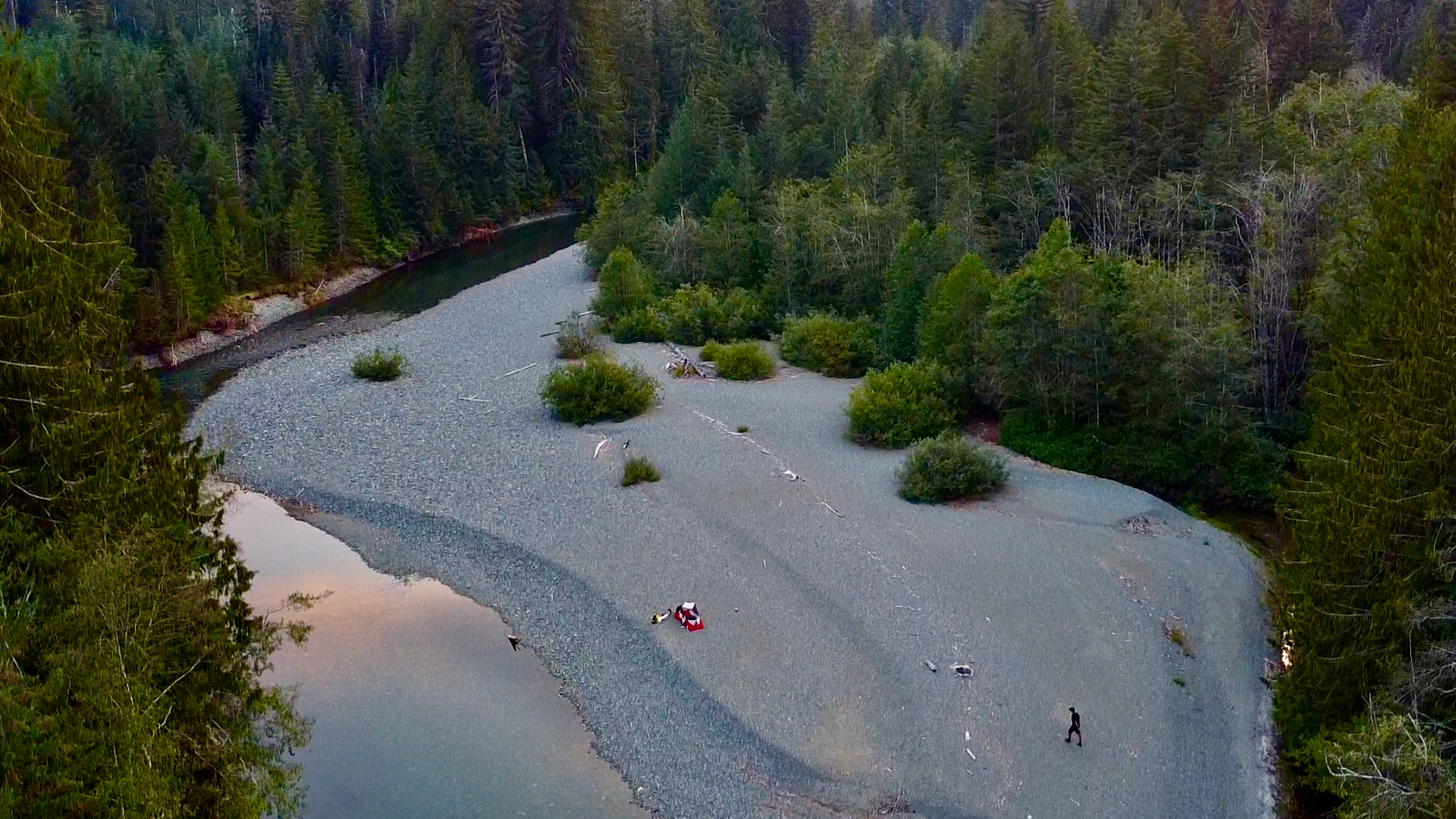
I ended up camping 2 nights. The first on a sand bar in the Ash river. There are more bears than people in this part of the island. I thought I’d keep myself well clear of any animal trails.
The second night I pitched on a quiet lake where I’d stayed twice in the past.
My meandering route ended up looking something like this.