… for the first time the Ministry of Culture is releasing all permits for 2018 on 1 October 2017.
With only 500 permits available per day, tour operators are urging travellers to book the trek, which ends at the 550-year old Incan citadel of Machu Picchu, as soon as they can. “Tickets usually sell out almost immediately for the peak trekking months of April, May and August,” …
Travellers who miss out on Inca Trail permits can still trek to Machu Picchu on an alternative route – the Salkantay trek for which no permit is needed. “On the Salkantay trek, you pass through small communities and farmsteads, and approach Machu Picchu from the other side. …
No panic. We like the Salkantay (Salcantay) better in any case. And you can do the Salkantay independently if you prefer. The over-popular Inca Trek must be guided.
Hike la Ruta de la Revolución trek which follows the historic route of Fidel Castro and Che Guevara that started the Cuban Revolution—from landing in Cuba in a foundering boat to their famous hideout deep in the Sierra Maestra Mountains.
Walk for days on wooded trails and mountain roads—see no cars, only the occasional mule cart. Eat dinner by oil lamp with campesino families in remote rural villages. And finally, be one of the very first to do the La Ruta de la Revolución while it’s “undiscovered” and unspoiled. We didn’t see a non-Cuban until we reached Fidel Castro’s Comandancia de La Plata hideout deep in the Sierra Maestra Mountains. …
On August 24th, Zinke will make an announcement about the 21 national monuments that are “under review.” If there was ever time to put pressure on Zinke, and the rest of the Department of Interior to make the right decision to preserve our lands, this is it. …
In 1994 I hiked to Petra. A broke Aussie backpacker and myself managed to follow sheep trails into the the valley and make our way to the ancient city on our own. We weren’t caught until the very end. 🙂
Twelve hundred miles off the southernmost tip of South America, there is a legendary place among travelers and historians. They speak of South Georgia Island in hushed, almost reverent terms.
This small and mountainous island, with peaks above 9,000 feet, is located hundreds of miles from the closest beaten path. But the rugged and remote wilderness is famous for another reason. South Georgia Island served as the final stage in one of the greatest survival stories of all time: Ernest Shackleton’s voyage to the southern seas aboard the Endurance. …
I hiked part of the very route that Shackleton, Crean, and Worsley trekked when they crossed the island a century ago. Hiking through the overgrown mountain trails and snowy paths, I finally arrived at the remains of the Stromness whaling station where the 19th century explorers’ desperate march came to an end. …
The interior of South Georgia is rugged and demanding to say the least, with towering peaks, steep valleys, and crystal-blue alpine lakes frequently presenting impassable barriers.
High winds, rain, and snow, coupled with rough terrain, made my walk a challenging one, even equipped with modern hiking gear and a clear path to follow. The men from the Endurance did it in clothing that was practically threadbare, wearing boots with screws tapped into the sole to provide extra traction. …
While wandering in silence through that wild landscape, I could almost feel the ghost of Shackleton trudging along beside me …
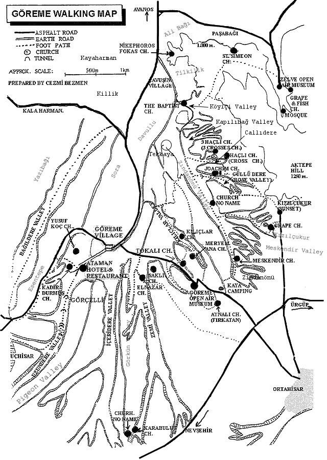
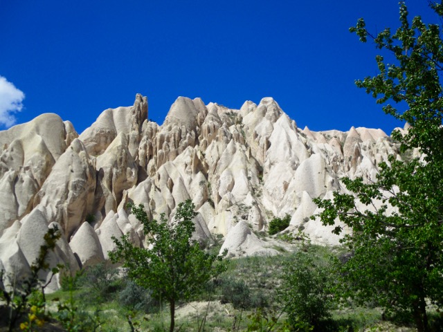
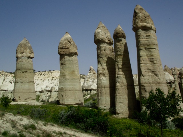
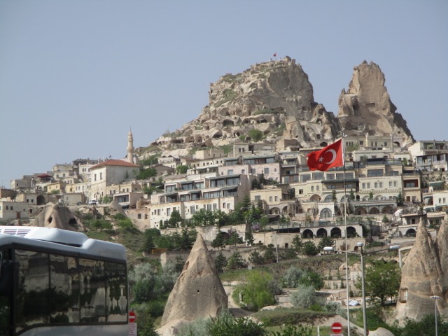
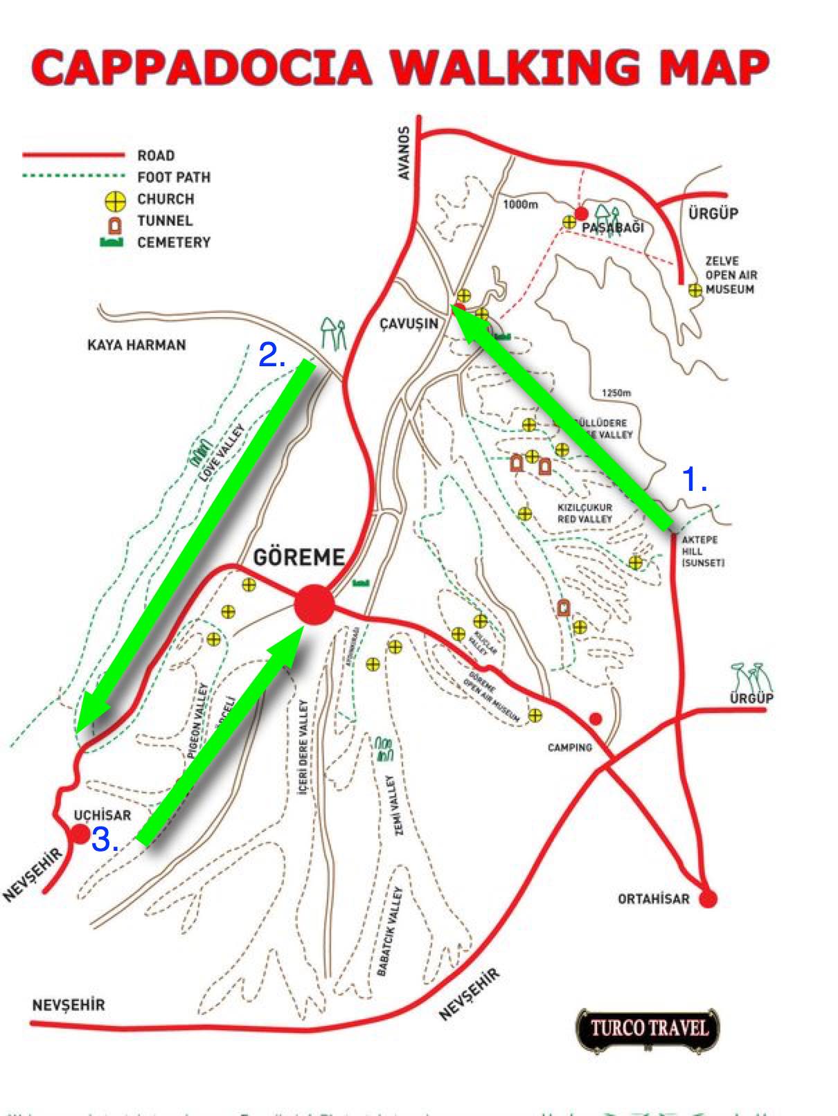
On arrival in Göreme someone will hand you a FREE hiking map.
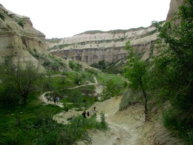
Most wander around with this thing … frequently getting lost. We could find no decent map nor guidebook in 2017.
For 6 days I hiked and cycled many of these trails, often lost, before finally deciding on what I felt was the best hike.
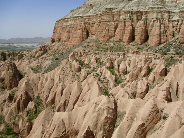
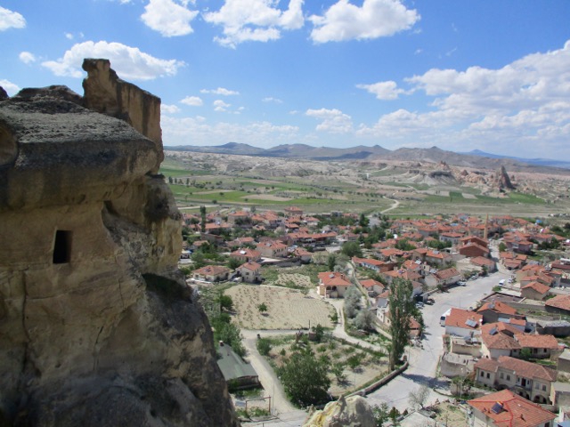
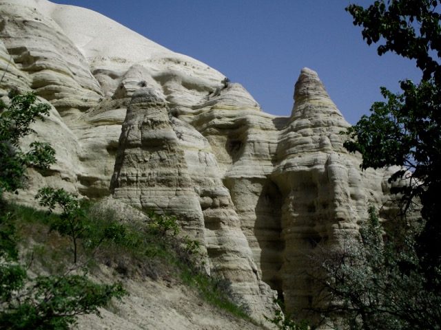
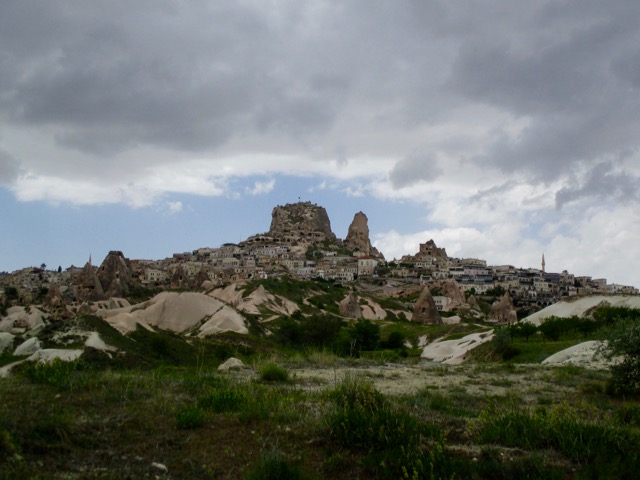
Ask the people at your accommodation in Göreme how to get to the Rose Valley Panoramic viewpoint. They’ll likely recommend a taxi and tell you the price. It’s about a 15 minute drive uphill from town.
There is a small entry fee for Panoramic viewpoint. The taxi may drop you outside the gates.
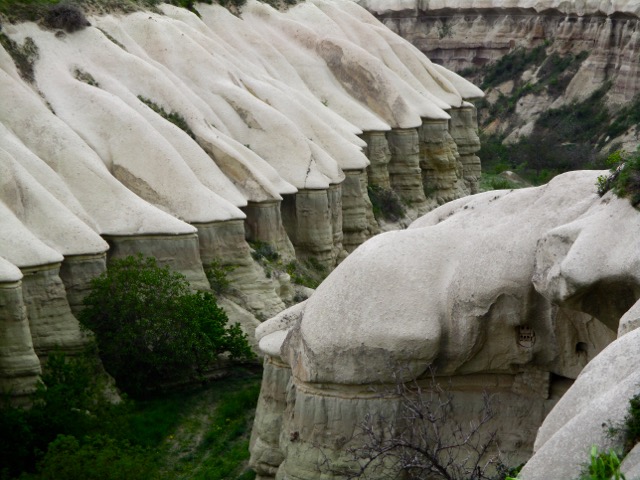
Most feel Rose Valley trail. 5km to Caveusin is the best hike of all. And I’d agree.
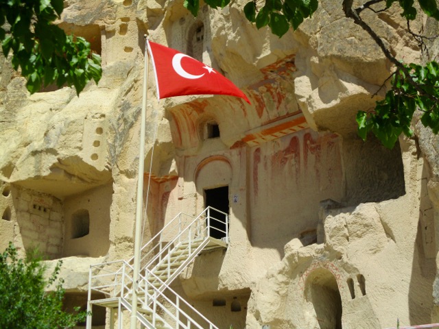
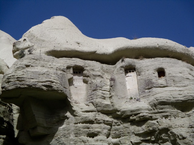
Note that most of the trail signage is in Turkish.
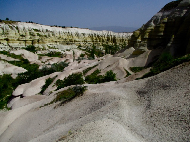
There are many twisting and turning trail options. All are good but the very bottom of the valley might be muddy.
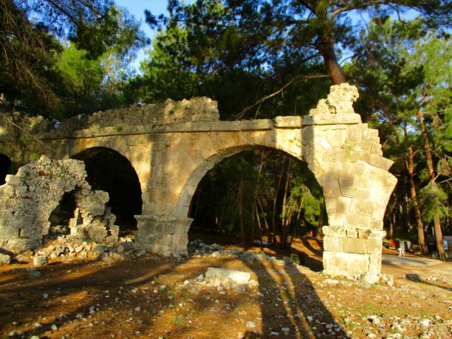
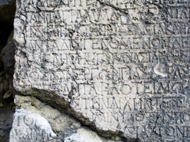
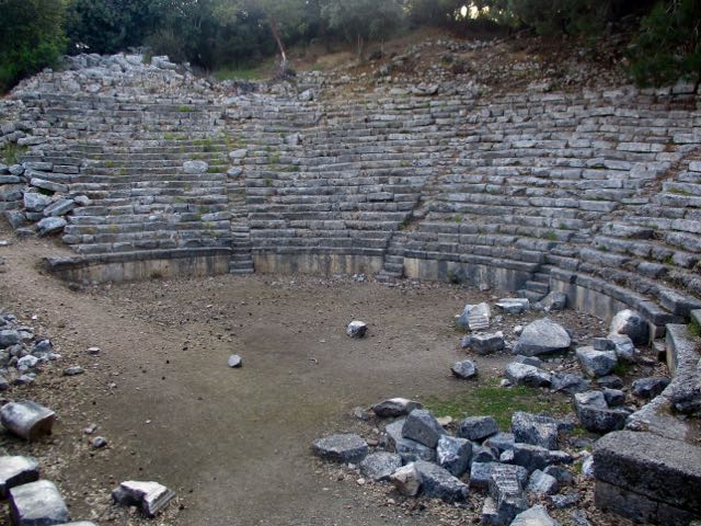
The city was captured by Persians after they conquered Asia Minor, and was later captured by Alexander the Great. …
In fact they handed Alexander a golden crown with the keys to the city.
Many others conquered Phaselis. Hadrian was one other prominent lord visitor.
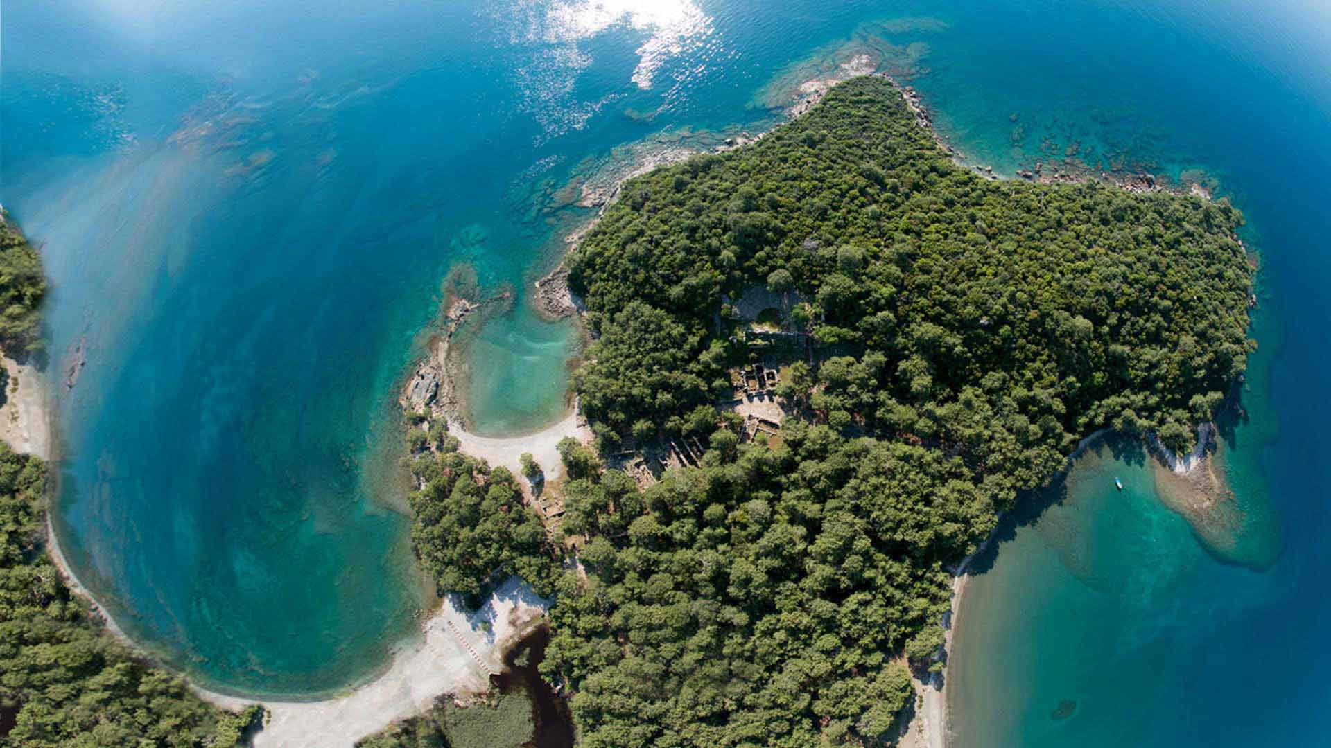
Citizens did not care much who was overlord. They kept making money from their ideal trading route location.
The tourist site was just opening when I reached the front gates. Ticket agents kindly pointed me on to the Lycian Way. They are used to hikers arriving from the wrong direction at odd times.
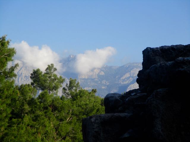
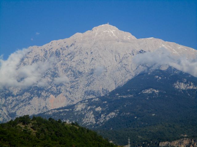
Today I would have to leave the coast and climb inland. Big elevation gains.
Not so keen on the idea, I toyed with the idea of taking the cable car on high. And hiking back down to the Lycian.
But it turned out to be a 9km side trip on pavement to get to the cable car. I decided against that plan.
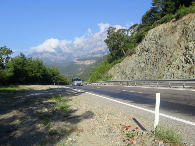
Many decide to quit the Lycian right about here. When the trail reaches the main highway.
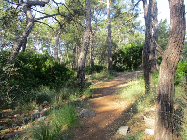
I continued on a parallel trail, passing one tent of hikers. And one nude sunbather.
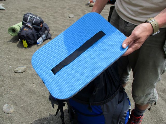
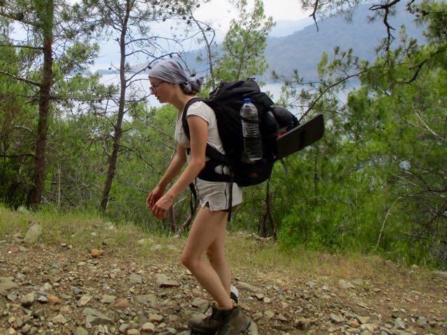
Super popular on this trail are sit pads that strap on to your body.
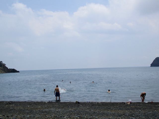
Super popular too is swimming every chance you get on the Lycian. What’s the matter with these people? Don’t they know there are GREAT WHITES and MAN-OF-WARS in the Ocean?
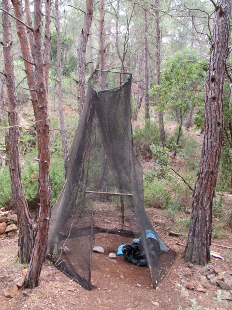
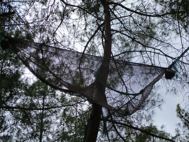
We’d been hanging out with a hermit from Istanbul who spends many weeks each year meditating on this beach. Departing we stumbled on his beach home.
He sleeps up high in a tree hammock. Possibly to get away from mosquitoes that sometimes plague this area.
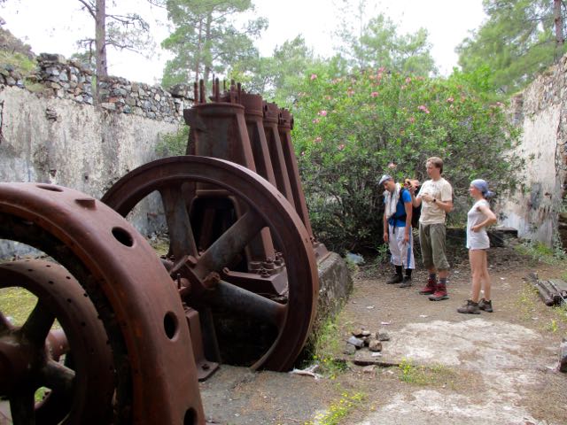
I was following a guided group from Ukraine. Here they are speculating on what this machinery was used for.
They wish they had brought less gear with them on the hike.
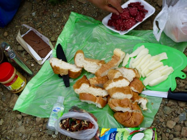
We enjoyed a Ukrainian / Turkish lunch. I contributed the peanut butter.
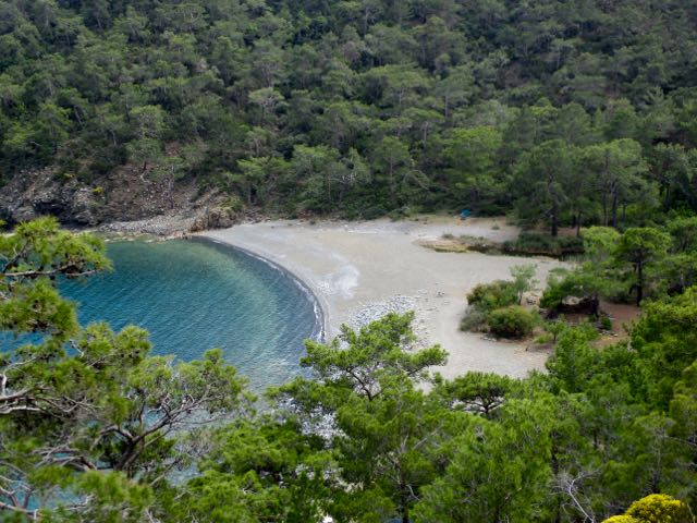
This would be their last night camping. They wanted a truly memorable beach.
Each one we passed they gave consideration. This was the winner.
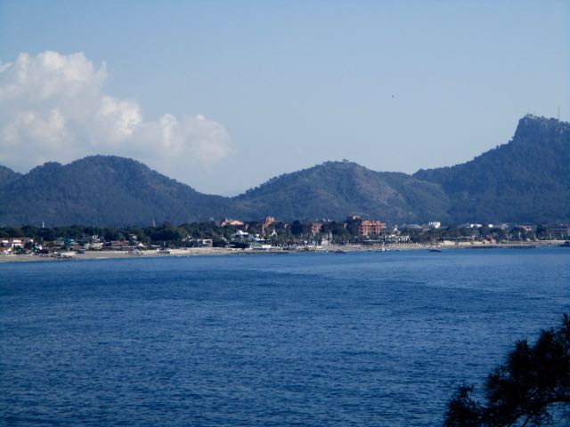
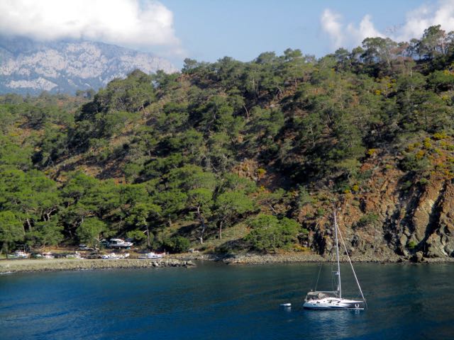
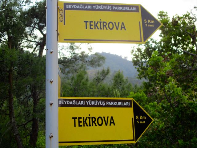
I carried on towards Tekirova.
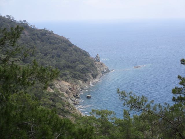
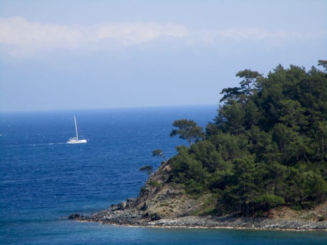
Passing even more lovely bays.
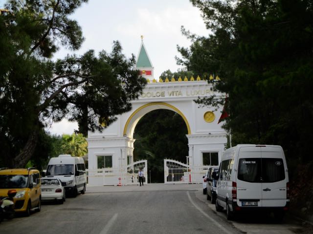
It turned out the beach in Tekirova is dominated by big all-inclusive hotels.
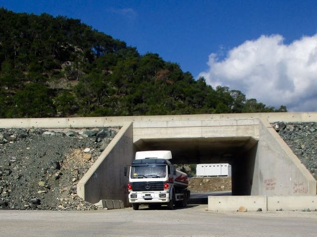
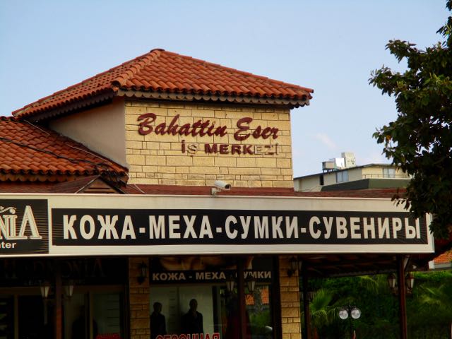
I had to find my way behind those hotels. Back street signage here often includes Russian.
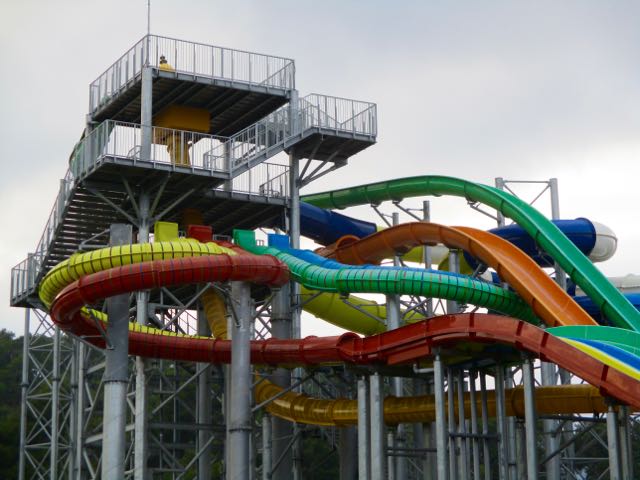
Eventually I wandered though town and reached the water park. I knew I could intersect with the trail here.
I was quickly back out into farmland.
Sundance is something of a Hippy colony.
I considered booking into one of their cottages.
But during my arrival everyone was dancing together. Seems 7-8pm is mandatory dance. My feet were too sore for that.
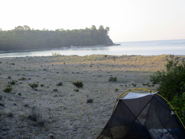
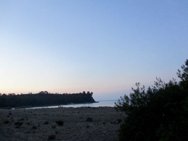
I continued on to a quiet beach I’d read about in a trip report. Setting up at dusk.
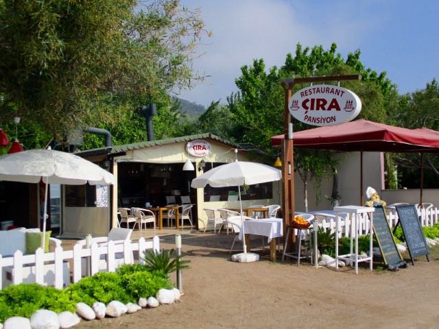
I was enjoying my pension in Çıralı. No rush getting back on the trail this morning.
This is the very end of the slighlty rainy season. It was again hazy, but I got no more than a few drops over the entire week.
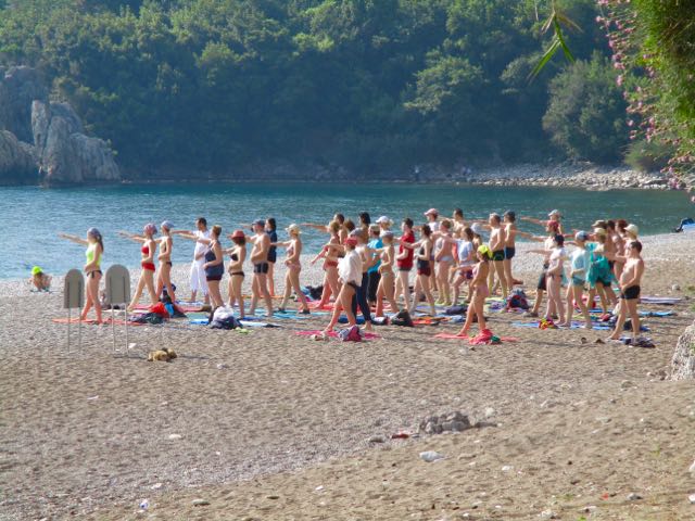
A morning stroll up the beach towards the Hippy colony found dozens doing some sort of chanting dance.
Good exercise, I guess.
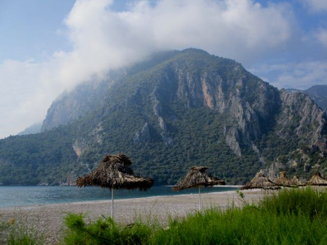
I finally left at check-out time walking the 4km across town for the 3rd time. There are people cycle touring here, but not as many as I’d expect. A mountain bike would be ideal. It was Noon when I started the next section of trail. As usual, up and up. As usual, a series of beautiful beaches. This one was astoundingly clean. Some camping group had decided to pick up the trash. This is my kind of hike. This was the first water source I came across. An old well. At the bottom was a giant bullfrog. I’d not seen any hikers for some time when the recently rerouted trail took a turn inland.
I was soon lost.
My only option seemed to be a scramble up this waterfall. It was a route, but the paint colour was wrong. I finally decided to backtrack from this point.
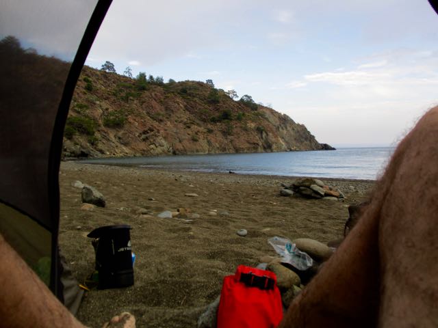
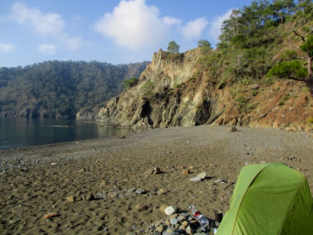
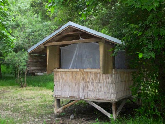
In no rush now, I did a little side trip site seeing. And set up my tent when I found a beach with a water supply. And a residenthermit from Istanbul who spends many weeks a year here.
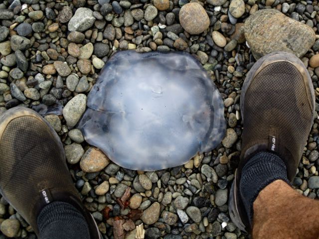
I wandered the beach. Scrambled rocky headlands. Read two different books. Poked washed up jellyfish.
My only option was to backtrack to town next morning and take an alternative Lycian Way trail.
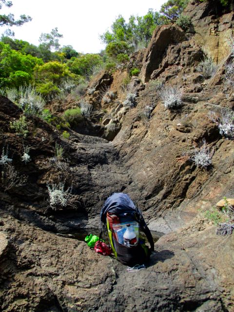
Navigation is the biggest problem on this trail.The guidebook is simply not sufficient. There is an iPhone app that is better but still not perfect. BEST would be GPS tracks from previous hikers.
Happily a Ukrainian group arrived to camp. The guide would be pleased for me to follow them onward next day. 🙂 He’d done this section many times.
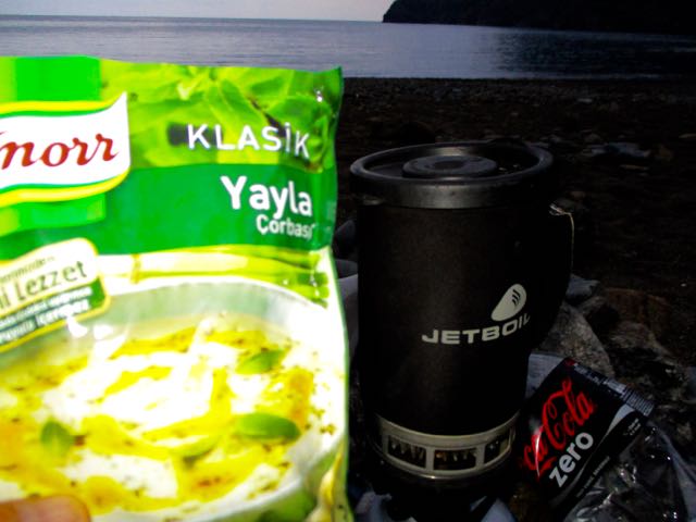
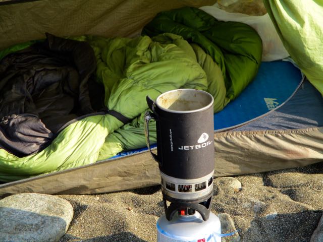
I cooked up dinner at dusk.
Sat around the beach fire with my new friends. And had a great night’s sleep.


 Good exercise, I guess.
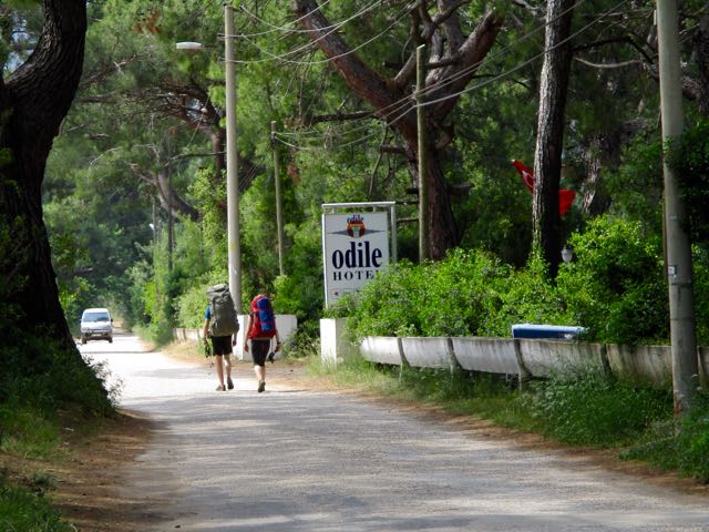 There are people cycle touring here, but not as many as I’d expect. A mountain bike would be ideal.
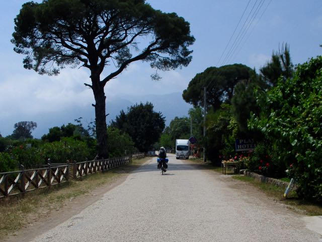 It was Noon when I started the next section of trail.
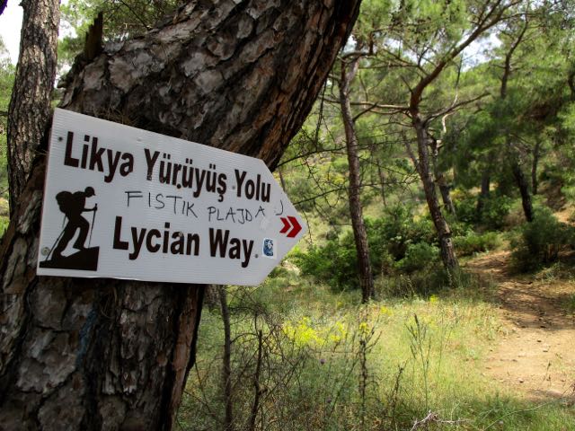 As usual, up and up.
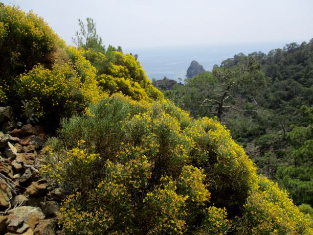 As usual, a series of beautiful beaches.
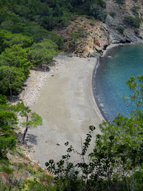 This one was astoundingly clean. Some camping group had decided to pick up the trash.
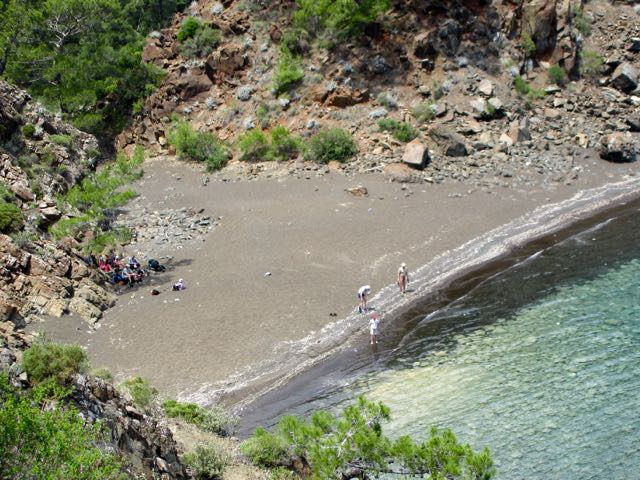 This is my kind of hike.
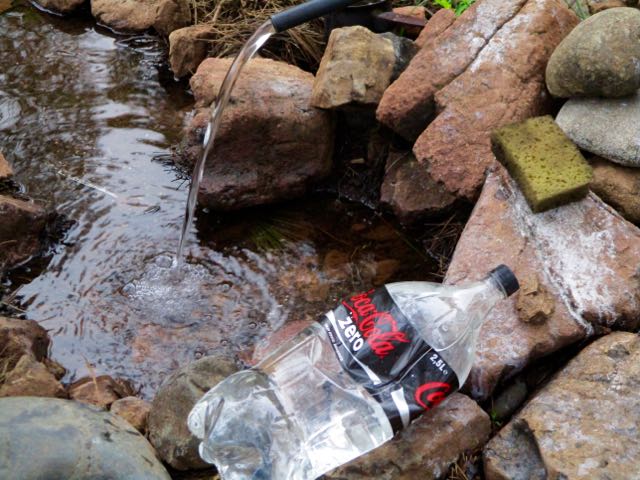
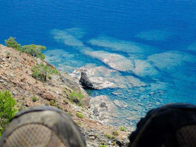 This was the first water source I came across. An old well.
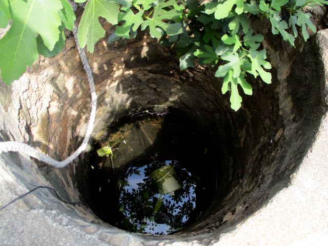 At the bottom was a giant bullfrog.
 I’d not seen any hikers for some time when the recently rerouted trail took a turn inland.
 It was a route, but the paint colour was wrong.
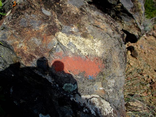 I finally decided to backtrack from this point.
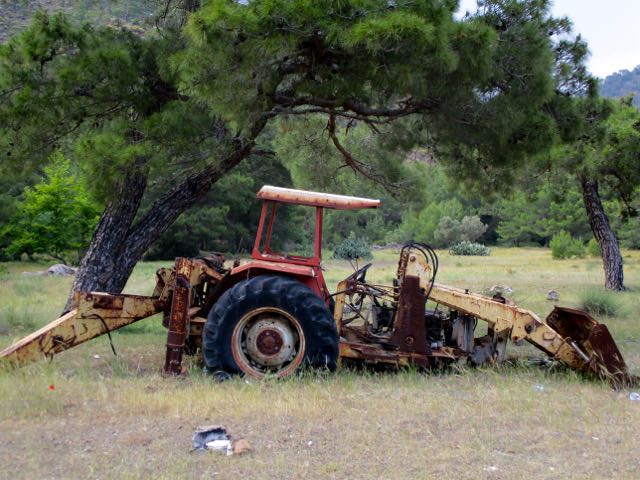 And set up my tent when I found a beach with a water supply. And a resident hermit from Istanbul who spends many weeks a year here.
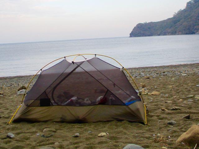
 I wandered the beach. Scrambled rocky headlands. Read two different books. Poked washed up jellyfish.