Click PLAY or watch it on YouTube.
(via Adventure Blog)


Best hikes, treks, tramps in the world.
In my experience there are few places with less horizontal ground than Rwanda, which truly earns its nickname of “Le Pays de Milles Collines” (the land of a thousand hills). The third-highest of those approximately thousand hills, at 3,711 meters (12,175 feet), is known alternatively as Mt. Visoke or Mt. Bisoke, and is the subject of this trip report. …
My experience in Rwanda was that a guide was always required. For everything. Car safaris, gorilla trekking, even short 2 mile hikes to see some waterfalls in the rainforest. While this goes very much against the independent, take-care-of-yourself-in-the woods attitude of myself and, I would imagine, the majority of the users of this site, there’s really not a lot you can do about it. Embrace it – even if a guide is completely unnecessary, they will certainly have more knowledge about the local plants, animals, and people than you can possibly hope to retain. So ask lots of questions, tip well, and enjoy. …


Summit Post – Hiking in the Virungas – Mt. Bisoke
related – A journalist’s gruelling hike to the summit of mighty Mount Bisoke (2015)
Veteran climbing guide Dave Adlard led some new mountaineers on a climb of Mt Adams, Washington.
Thousands climb it every year.


The weather went bad.
“If you haven’t figured it out already we’re not going up. We need to get the hell off this mountain alive.” as our guide and friend, David Adlard, said to us at six in morning.
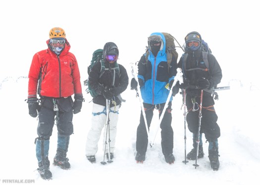
Read the entertaining trip report on Mtn Talk – Mt. Adams: Get Down Alive
This is a challenging trek around Dhaulagiri the world’s seventh highest mountain crossing two Himalayan passes. …
There is an option to climb Dhampus Peak at an altitude of 6,060m for those with previous mountaineering experience. If you like to climb Dhampus Peak there is an extra charge to cover the cost of the climbing permit.
The Mountain Company has organised eight successful treks around Dhaulagiri Circuit since Spring 2008 …
Cost about $150 / day for 20 days out of Kathmandu = US$2,895. Budget flights to and from Kathmandu plus extras.
Click PLAY or watch highlights of a 2013 Circuit on YouTube.
MountainIQ has independent information on this trip.
Compare Dhaulagiri to the rest of our best hikes in Nepal, many of which you can do independently for far less cost.
by site editor Rick McCharles
As I’ve done most of the easily accessible major hikes in Nepal next time I’m planning on Makalu. Cost most likely between $3000 – $4000. I’m hoping to do it for less with one Guide and carrying my own pack.
Sathya did it independently in 2012.
Mountain IQ has a good overview.
Though not visited by many hikers each year, there are some tea houses available now.
Click PLAY or get a glimpse on YouTube. Two feet of snow on day 8 en route to Base Camp.
Click PLAY or watch it on YouTube.
That excellent video was a promo piece for the (now inactive) Adventure.com, a peer-to-peer tours and activities marketplace.
It features community-sourced photos, videos, and first-person narratives as it sits in maintenance mode. Adventure.com CAMPING.
Here’s the story – Adventure.com Failed But What Did It Do Right and Wrong?
Stingy Nomads:
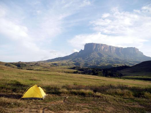
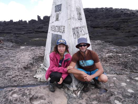
Mount Roraima is the highest of the many Table Mountains (tepuis) scattered over the grasslands of The Grand Sabana. The strange rock formations, quarts fields that look like a diamond encrusted fairy land, insect eating plants and many high waterfalls gives the whole area unreal feel and have been an inspiration to writers and movie makers. It is thought to have inspired Arthur Cone Doyle’s book ‘The Lost World’, published in 1912 …
Tours are normally 6 to 8 days, taking three days to reach the top, then one to three days exploring the top and it takes two more days to come down the same trail. You cannot hike this route independent since a guide is compulsory. There are many companies in Santa Elena that offers all-inclusive tours; you can also try to find an independent guide to lead your trek. …
Ryan Dedoobt – camping in Vietnam’s Hang Son Doong, the world’s largest cave.

The only way to do this, I understand, is with Oxalis guides.
(via Adventure.com)
trip report by site editor Rick McCharles
The best hike in the country. One of the best in central America. In fact, this is the highest point in central America at 4,220m (13,850 ft).
Click PLAY or watch a promo video on YouTube.
I was up at 3:30am to check out of my hostel in Xela and walk over to Quetzaltrekkers through dark streets.
4:45am rendezvous. Our group of 10 included two guides, hikers from Canada, the States, England, Switzerland and Germany.

At 5:15am we climbed into a pick-up to get to the hectic Minerva bus depot. We were first to get seats on the chicken bus.

Arriving about 7:30am, we ate a good breakfast at a San Marcos bus station comedor.

Next was an even more crowded bus to Tuichan. By around 10:00am we started up.
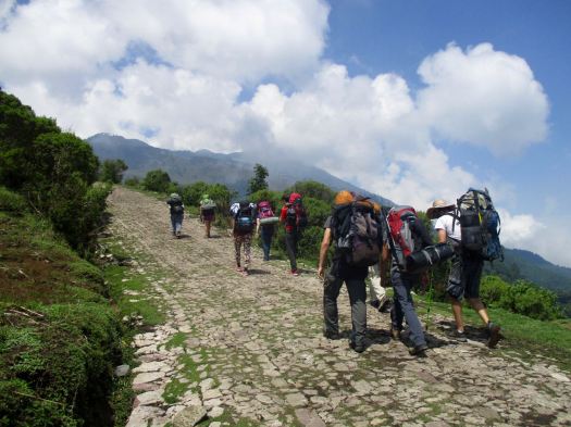
Quetzaltrekkers have no employees. Everyone is a volunteer.

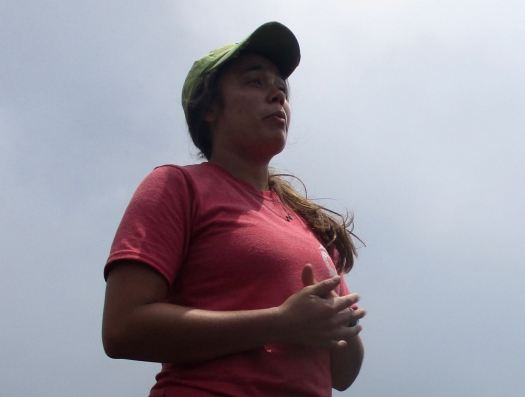
All proceeds go to a children’s charity.
Being a volcano, I feared it would be an unrelenting slog at the same angle. Happily there is a fair bit of variation in the trail – though it is unrelentingly UP.

A highlight are the Hartweg’s pine, a very high altitude species


Spooky in the clouds.

Finally arriving at “base camp” after 4-5 hours, we enjoyed a healthy lunch of local fare.
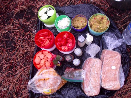
That was 1000m elevation gain over 4km. Sleeping at about 4000m (13100ft), there’s a real risk of altitude sickness.
Everyone slept in provided 4 person tents aside from Jordan (who slept in a hammock) and myself who brought my own gear.
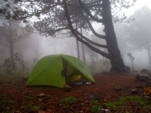
We all crashed for siesta, knowing we wouldn’t get much sleep tonight.
We’d planned to climb up to Tajumulco’s second summit, Cerro Concepcion, for sunset. But afternoon rains had come. We stayed in our tents.
By 6:30pm the rain had stopped. We had dinner and hot drinks, hoping the morning would be clear. This was the second trip for one girl – her first summit clouded over.
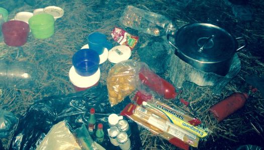
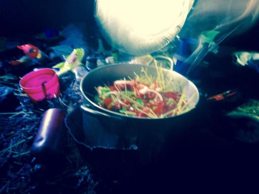
A brazen mouse ran around the cook area.
___ My alarm went off at 3:30am. I’d not slept particularly well.
Though we had clear skies and near a full moon, it was dark. My borrowed headlamp died quickly. I followed the lead guide closely to take advantage of her lamp.
The final 200m is a scramble. Gloves are useful for grabbing stone in the dark.
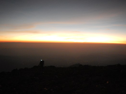
It went well. All 10 of us at the top before dawn. We huddled in our sleeping bags.
Dawn at 5:30am was gorgeous.


Everyone – at this point – was super happy they had joined the trip.

We stayed on top as long as we could handle the cold wind.
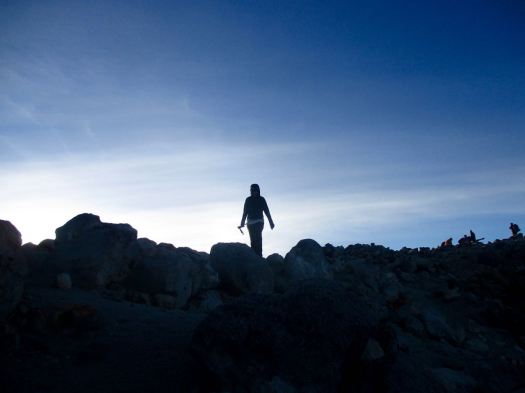
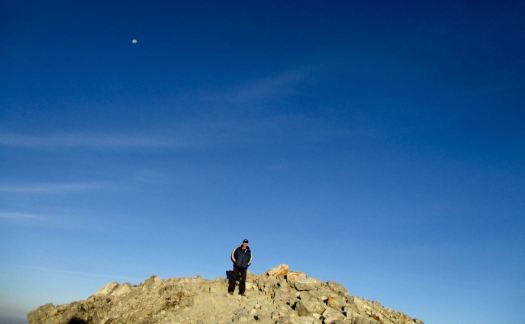
There are views to Mexico. And many other volcanos.

This is volcano shadow.

We descended by a different route, first circumambulating the crater.


Quickly into grassland, we started to get hungry.

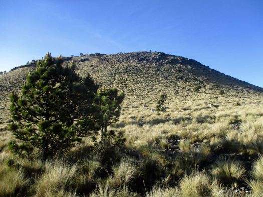
The water was boiling for breakfast by the time we got back to camp.

This very popular hike is – sadly – quite littered and vandalized. Instead of leaving my Summit Stone at the summit, I left it in one of the excellent climbing trees at camp. 🙂

No rush. We dried the tents, the sun already very hot at 8am.
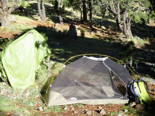
I was impressed with the toilets provided. Happily there are very few insects this high up.

The descent was relaxed. Our climb already a success.
It’s slippery, however. We had numerous falls on the way down. This could be treacherous in the rain.
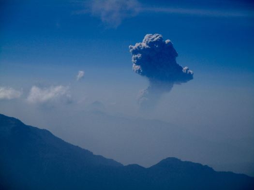
One highlight was seeing the eruption of another volcano – Santiaguito. It’s a near daily occurrence. In fact I’d climbed up another volcano, Santa María, to see that eruption on another hike, 10 years earlier.

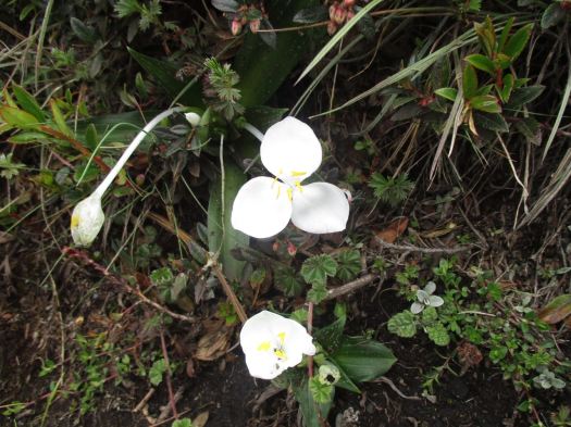
The National flower of Guatemala, Lycaste skinneri, are everywhere. Another highlight.
About Noon we got back to the road. The peak was already clouding up. No doubt it would rain again late afternoon.

We were hungry again for a big lunch at this village restaurant. Most had the fried chicken. And Gallo beer.


We reversed our route. First a bus back to San Marcos. Our driver parked close to our next so they could throw our packs roof-to-roof. (I’d never seen this before.)
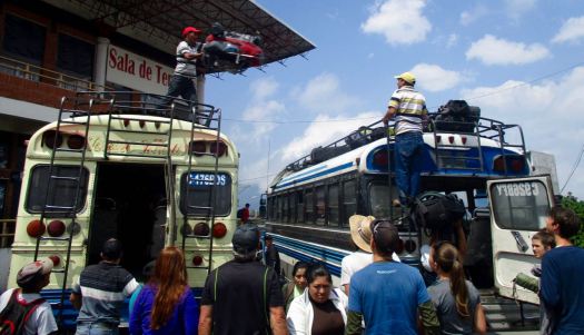
In Xela we again climbed into a pick-up truck to return to Quetzaltrekkers by about 4:30pm

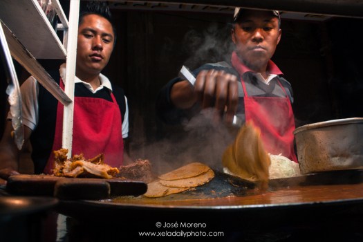
A shower. Some rest. To celebrate some of us got together for street tacos and cheap beer at the Plaza Central.
Tajumulco is highly recommended, so long as you have clear skies in the morning. You can do it on your own, but finding all right buses may be a hassle.
We’ve added this adventure to our list of best hikes in North America.
See all my full resolution photos on flickr.
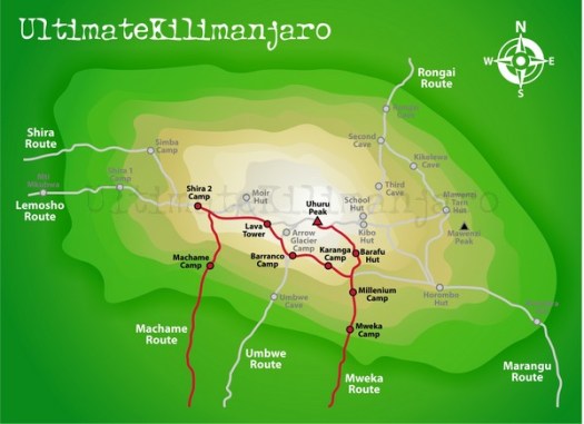
The Machame route is probably the most popular route these days and is also called “the whiskey route”. This route is steeper than the Marangu and Rongai routes and physically more demanding and for that reason better suited for the more determined and fitter climbers (view a map of Machame). …
CNN reporter Brooke Baldwin posted an excellent trip report – Conquering Mount Kilimanjaro: 10 essential lessons


