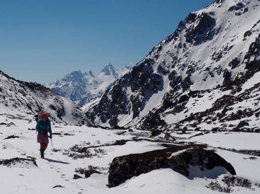
Snow Leopards. Red Pandas. Epic Adventure near Kanchenjunga.
Click PLAY or watch it on Vimeo.
Dulkara Martig’s trip report – Chasing Snow Leopards in Nepal


Best hikes, treks, tramps in the world.
Snow Leopards. Red Pandas. Epic Adventure near Kanchenjunga.
Click PLAY or watch it on Vimeo.
Dulkara Martig’s trip report – Chasing Snow Leopards in Nepal
Click PLAY or watch it on YouTube.
Amanda Zeisset of Adventure Junkies posted a good list for beginners:
4. Every Time I’ve Tried Hiking I End Up Getting Blisters, How Do I Prevent Them?
14. What’s The Best Way To Treat Water?
17. I’m Out Of Shape & Not Fit Enough To Hike For Long Hours, Where Should I Start?
19. None Of My Friends Are Outdoorsy, How Do I Find People To Go Hiking With?
HOW TO GET INTO HIKING – THE 19 MOST COMMON QUESTIONS ANSWERED
Click through to see them all. With answers. 🙂
Leave a comment on that site if you’ve an opinion.

trip report by site editor Rick McCharles
My camera had multiple problems on this trip. Photos are inconsistent, at best. 😦
day 1 | 2 | 3 | 4 | Sunshine Coast Trail information page
I caught the 10am ferry from Comox, Vancouver Island to Powell River.

My plan was to do the big central section. About 90km.

July 2015 we’d hired a boat to drop us at the northern trailhead Sarah Point. But quit the hike at Manzanita Hut after only 2 days. Driven out by mosquitos and wasps.
Could have taken a local bus to a trailhead, but instead walked from the ferry about 5km through town to Mowat Bay.
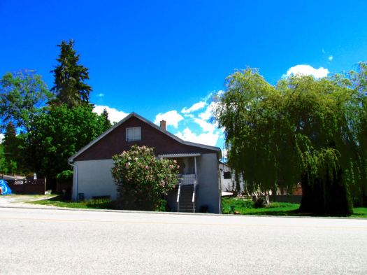
Here’s pretty Cranberry Lake in Powell River town.

Lovely day to start a hike. 🙂
Mowat Bay is close to sea level. It’s uphill from here.

Alder loves to overgrow the relatively little used trails. Blow downs are more frequent than are volunteers with chain saws. It’s rugged and challenging hiking. But pretty.

I ended up paying $5 to camp on Anthony Island. I slept in my tent.

A Danish couple took the hut.

They made dough from flour. Then wrapped it around a green branch to cook over the open fire. A Danish tradition, I understand. Burnt on the outside, raw on the inside. 🙂
day 1 | 2 | 3 | 4 | Sunshine Coast Trail information page
Cam Honan:
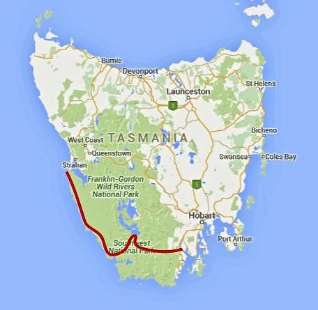
Between February 27 and March 22 of this year, I completed a traverse of the southwestern region of the state. One of the wildest, most pristine backcountry areas on the planet, it was a hike I had dreamed of doing for almost two decades. …
200 miles (322 km) approx. …
Time: 24 days
Daily Average: 8 miles (13 km) approx. This included one rest/resupply day. Hiking, scrambling, bushwhacking, climbing, paddling, crawling, swimming, rock hopping…………yep……..the terrain really was that challenging …
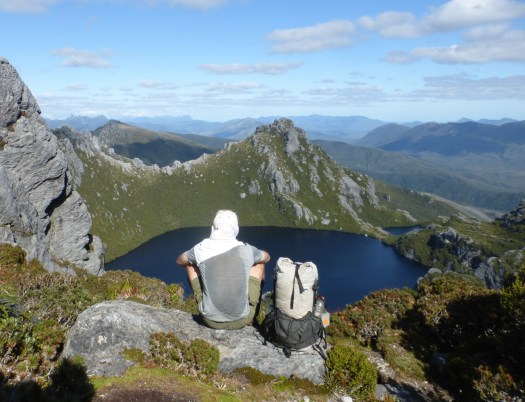
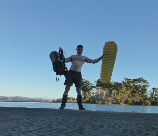
After freezing for 3 nights on the Sierra Nevada Traverse, the nearby Mediterranean coast of Spain appealed.
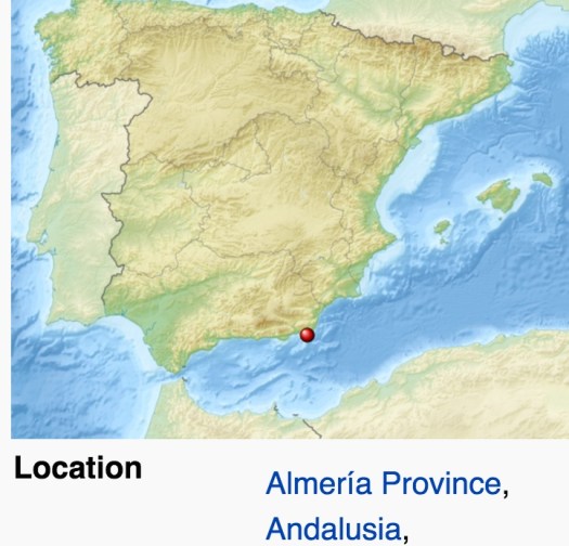
Cabo de Gata-Níjar Natural Park is Andalucia‘s largest coastal protected area, a wild and isolated landscape with some of Europe’s most original geological features. It is the only region in Europe with a true hot desert climate.
The eponymous mountain range of the Sierra del Cabo de Gata with its highest peak El Fraile is Spain’s largest volcanic rock formation with sharp peaks and crags in red/ochre-hues. It falls steeply to the Mediterranean Sea creating jagged 100-metre (330 ft) high cliffs, which are riven by gullies leading to hidden coves with white sandy beaches, some of the most beautiful in Andalucia. …
I departed Granada by bus at noon. And was sitting down in Cabo de Gata town for Calamari by 4pm.
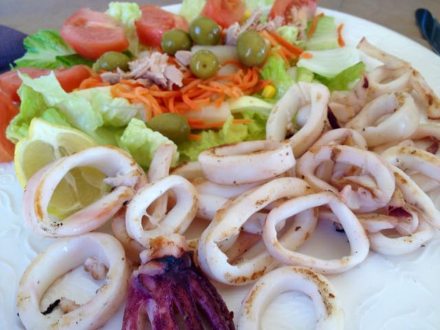
Cabo de Gata is a popular beach town in “summer”. But by mid-October it looks like this.

Mine was the only open restaurant. I need to wait for siesta to finish so I could buy 6 litres of liquid (mostly Coke Zero) to start the walk. Happily, the tiny supermarket opened at 5pm.

Lonely Planet Hiking in Spain describes a 52km coastal walk from Cabo de Gata to Aqua Amarga. I planned to start. And continue as long as I wanted. Bus transport back from Aqua Amarga is a problem. 😦

Passing retirees enjoying the sun, first stop is the Cabo de Gata tower.

Turns out there is a series of these ruins up and down the coast.
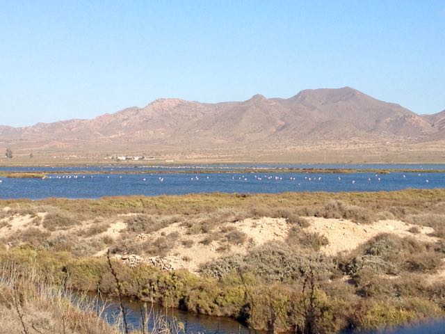
Between the village of San Miguel and the Cabo de Gata point are salt flats. This is an important stopping point for migrating flamingoes and other birds.

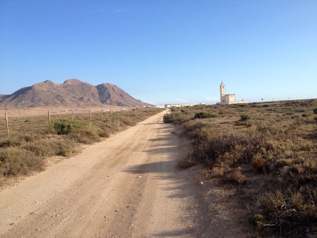
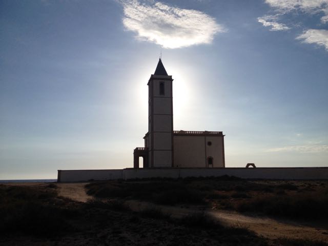
In the distance loomed this impressive church.
The beaches were near empty. Only one fisherman on this one.

It was a steep climb up and over to reach the Cabo de Gata light station.

The rugged geology is impressive.

Many tourists drive out to enjoy the views at dusk.

The only other person left standing in the dark with me was a young German who had rented an apartment in San José for a week. We walked together past the road block, back towards his place.
Together we found this tent spot. Quiet. Peaceful. And much warmer than 3000m in the Sierra Nevada.

___
Here’s a glimpse looking back to where I’d come from. Next morning.

I’d been looking forward to tramping a series of pocket beaches.

If the tides are right, you can scramble between most of them. This was a highlight of the trip.

This time of year you’ll see nude and topless sunbathers at pretty much every near deserted beach.
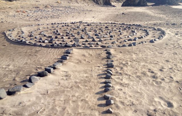
And artists. 🙂

There’s San José (Almeria) in the distance. The centre of Parque Natural de Cabo de Gata.
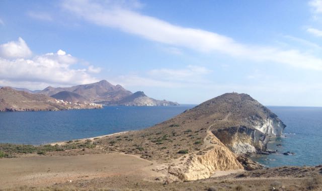
I’ve seen cows (Sri Lanka), kangaroos (Australia) and goats (Spain) on beaches. Never once understanding why they would want to be there.

This is a desert. There’s very little water.
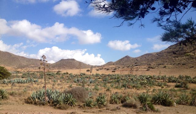
This windmill marks the start of town.

I could spend a week or two in San José. It’s lovely. Population about 1000. Plus tourists. And there are very few tourists in October despite daily highs around 28C.
An ideal idyl for cyclists, hikers, artists and photographers, I’d say. Lawrence of Arabia and the Clint Eastwood spaghetti Westerns used this location.
The campground was (surprisingly) closed. On a whim I checked the Aloha Hotel, recommended by Lonely Planet. When they offered me a pool view room for only 40EU, I couldn’t resist. After all … “recovery is an important component of every successful hike”. Plus wine. 🙂
In the afternoon I continued my hike – without backpack – up into the hills beyond San José. Here’s a glimpse back to town.
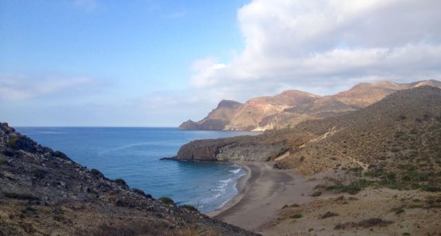
It’s rough and arid.
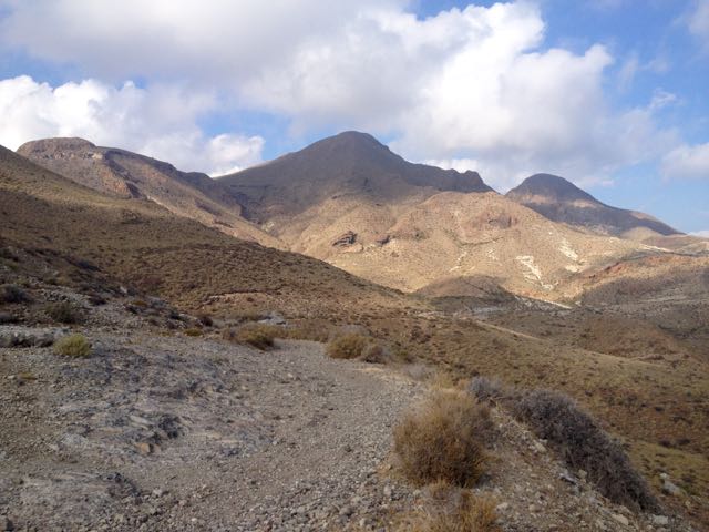
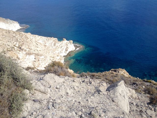
But with gorgeous coastal views.
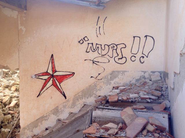
I enjoyed chatting with a very tan elderly couple from GBR before finally stopping at this ruin.


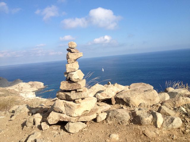
This vista was the end of my Cabo de Gata hike.
I turned back to civilization.
trip report by besthike editor Rick McCharles
day 0 | day 1 | day 2 | day 3 | not recommended
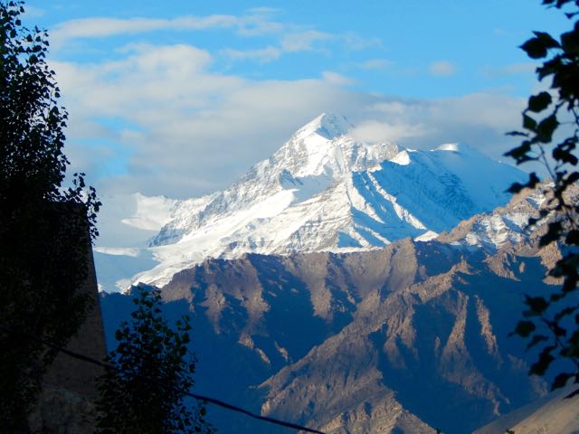
After 2 days rain delay, the morning dawned lovely in Leh.
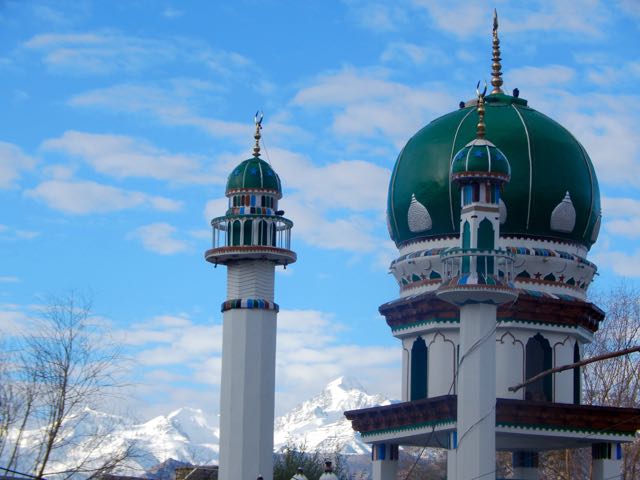
First stop was the outdoor bakery near the main Mosque.
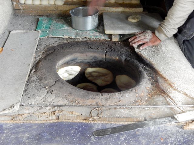
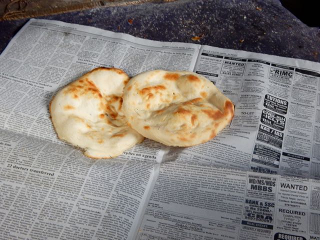
I picked up 10 flat bread for less than $1. My hiking lunches. With peanut butter. 🙂
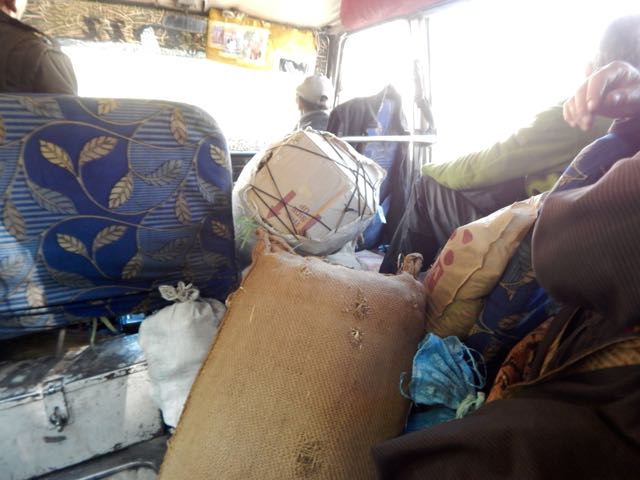
At the NEW Bus Station I found the (unmarked) 8am bus to Alchi, about 70km away. It was packed.
Alchi Monastery or Alchi Gompa … is said to be the oldest and most famous. …
The monastery complex was built, according to local tradition, by the great translator Guru Rinchen Zangpo between 958 and 1055. However, inscriptions in the preserved monuments ascribe it to a Tibetan noble called Kal-dan Shes-rab later in the 11th century …
The artistic and spiritual details of both Buddhism and the Hindu kings of that time in Kashmir are reflected in the wall paintings … These are some of the oldest surviving paintings in Ladakh. …

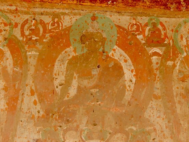
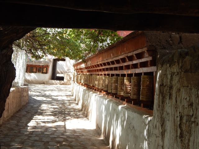
I made the Kora. Let’s hope my hike goes well.
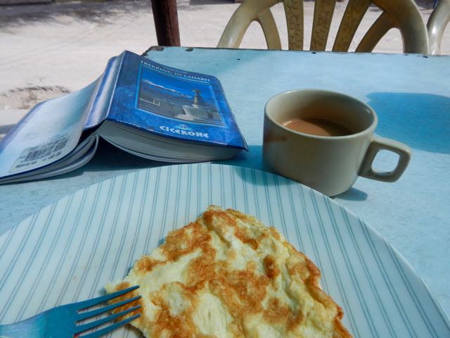
My last meal.
The Italian woman who joined me at the tiny restaurant in Alchi square was hospitalized in Leh the day before. Altitude sickness. She was given 2 shots and 3 different pills!
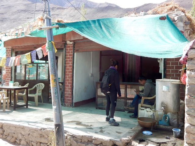
The restaurant owner pointed me in the right direction at 11am. Wandering though local fields.
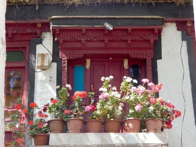
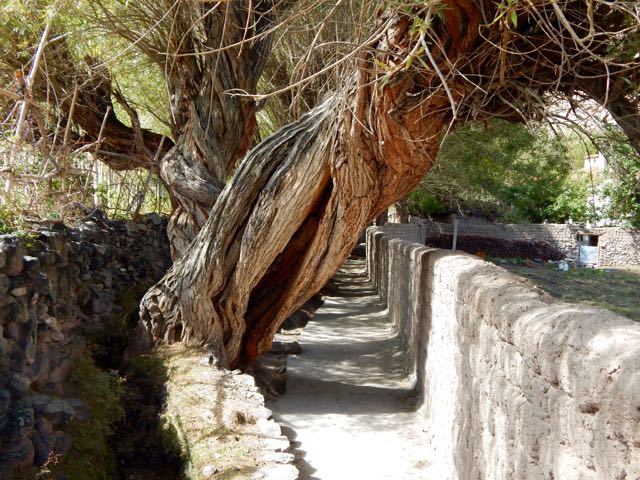
I was at an altitude of 3,100m (10,200ft). And needed to climb at least 2km vertical!
Here’s the one and only lizard I saw on the trip. He stayed behind in the sun.
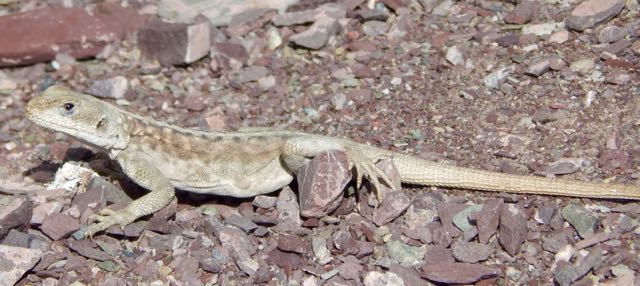
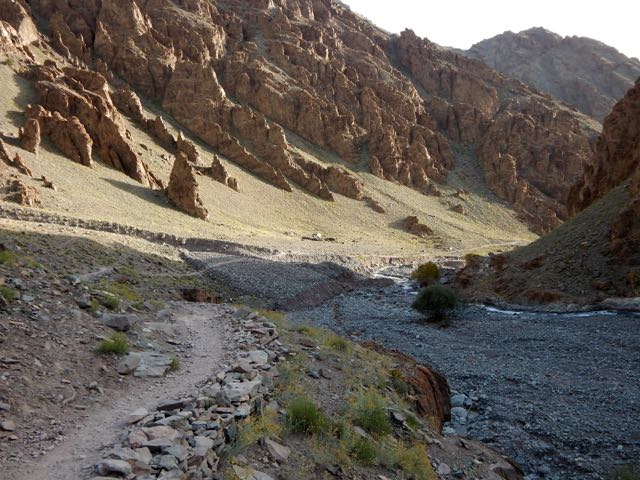
It’s an easy start. Winding up a Himalayan valley.
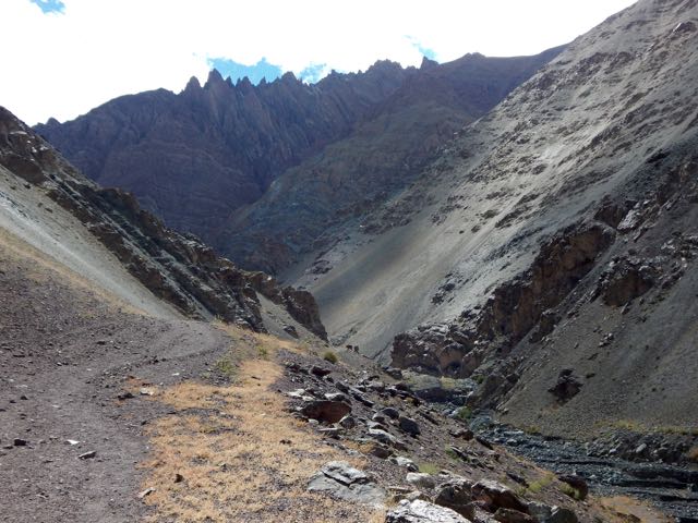
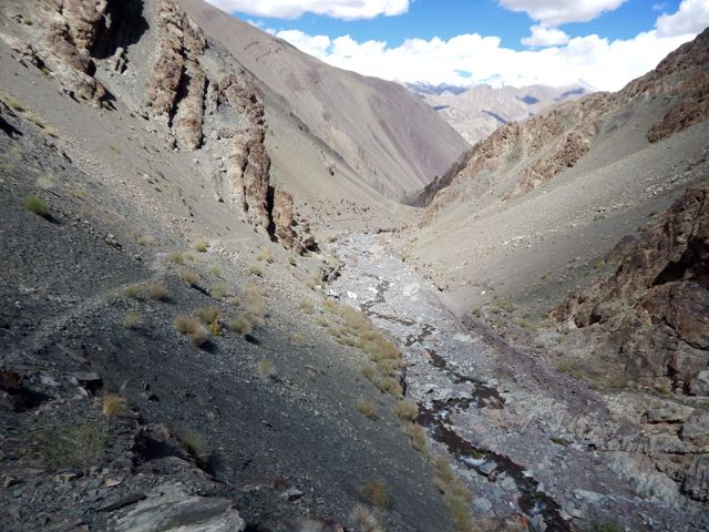
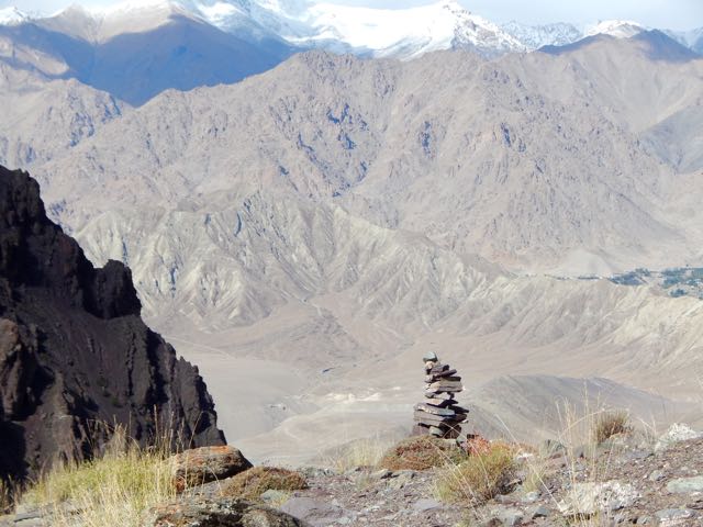
Still, I was worried. I’d need to cross a huge, difficult pass, about the same height as I could see on the other side of the Indus valley.
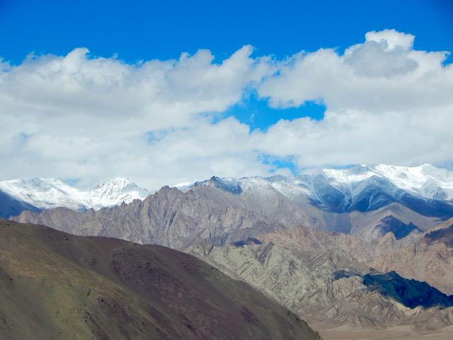
Higher and higher.
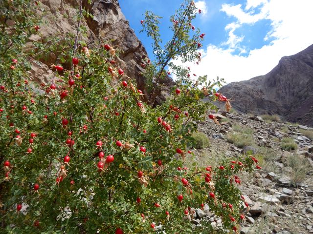
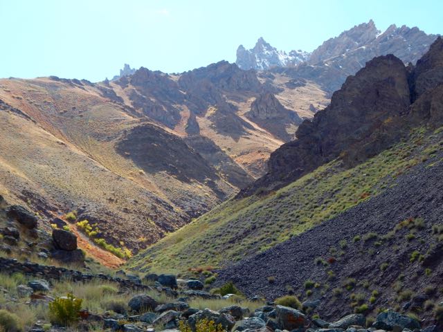
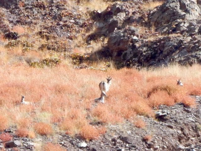
Up a side valley I spotted Blue Sheep. Here’s the herd at 32x zoom.
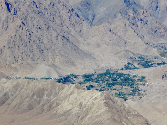
That oasis across the Indus is the famed Buddhist temple Likir.
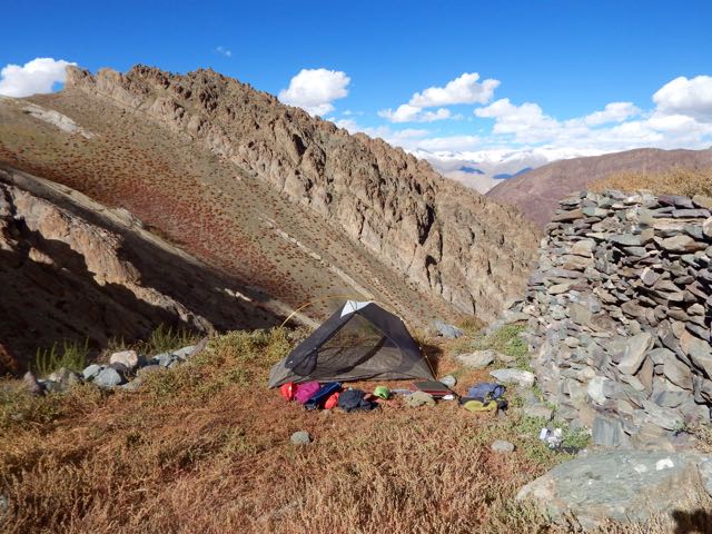
I set up my tent at the last possible site, the highest shepard shelter. My guidebook called it Stakspi La Base Camp. It was 3:30pm.
In the bright Tibetan sunlight, the autumn colours were lovely.
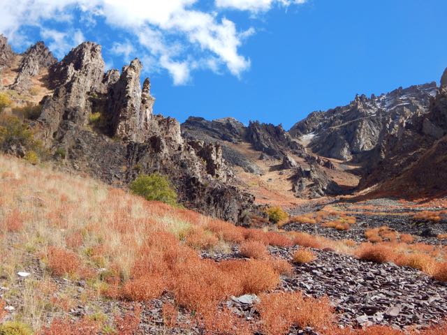
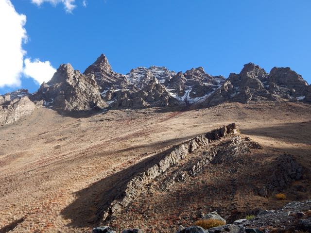
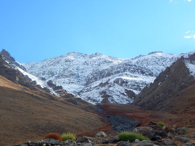
My goal for tomorrow is climbing up and over this 5000m+ wall.
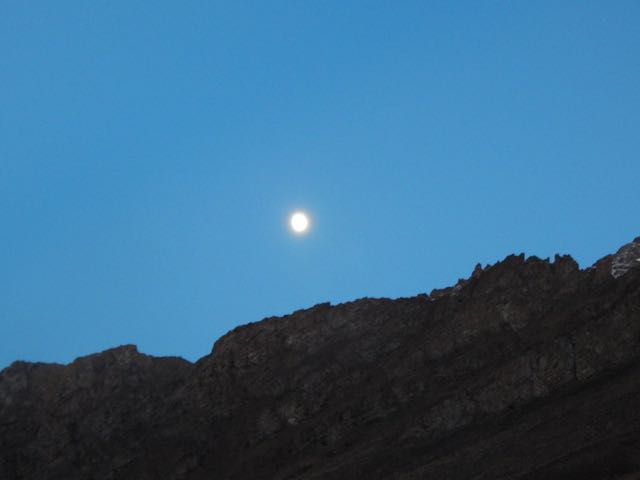
Goodnight.
See all the high resolution photos from this day.
day 0 | day 1 | day 2 | day 3 | not recommended
trip report by besthike editor Rick McCharles
day 0 | day 1 | day 2 | day 3 | day 4 | day 5 | day 6 | day 7 | info page
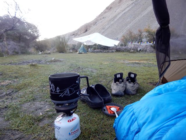
Morning coffee.
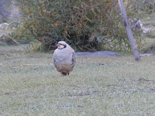
These curious (and common) ground birds dropped by. Are they Chukar partridge?
Sergei packs up his small cycling tent.
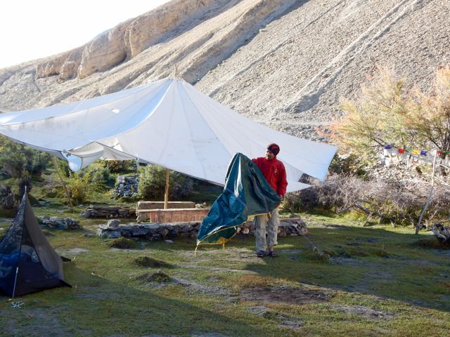
We were surprised when a Tibetan woman appeared asking for 150 rupees each. It had seemed the campsite (dirty and without a toilet) was closed for the season. Apparently not.
Official campsites seem to cost 600 Indian rupees in 2015. Unofficial ones 150 Indian rupee. Both overpriced compared with homestays, we felt. (900 rupees including 3 meals)
UP and off.

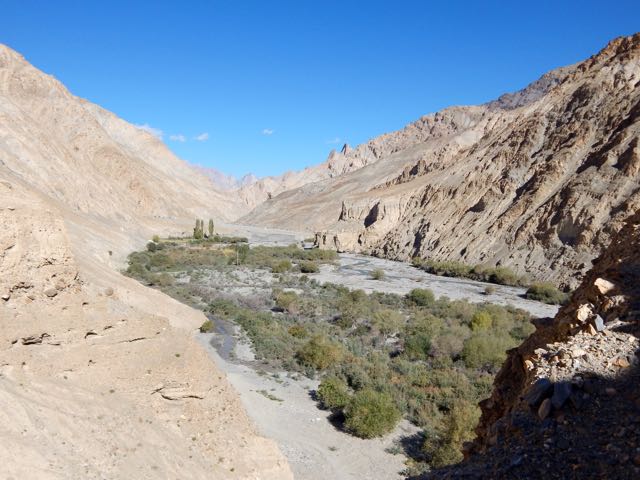
I tried to keep up with Sergei. It wasn’t easy. Especially since I had been exhausted the day before keeping pace.

On the other hand, we were fairly compatible. Both keen and very independent hikers.
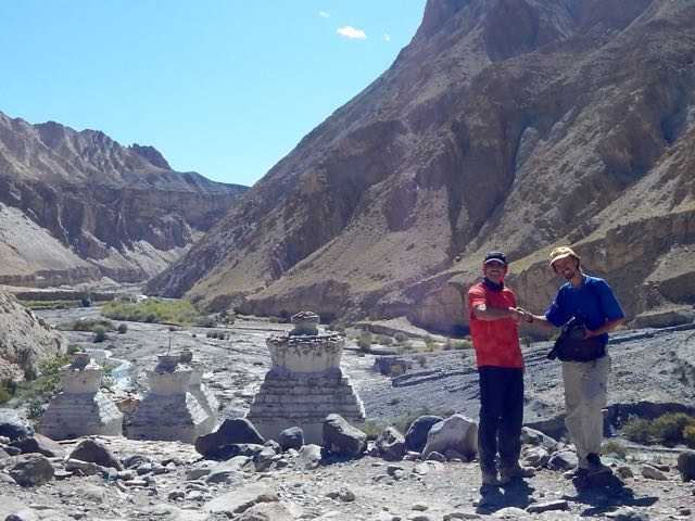
I found the dry Markha valley gorgeous. Sergei missed trees.

River crossings were actually a relief. Heat emergency is a real risk here.

I changed footwear. Sergei plunged through.
We’d anticipated Markha village 3806m to be somehow more impressive than the other villages. But it was very quiet. Harvest was in progress. Everyone in the fields.

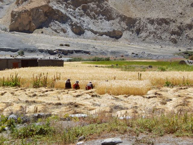

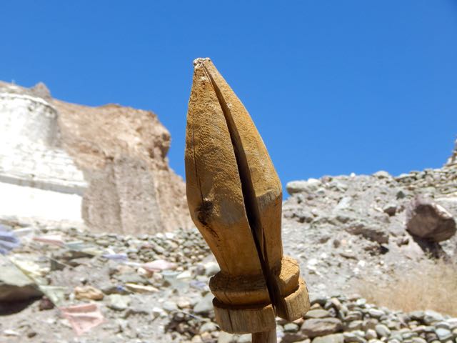
So we continued.

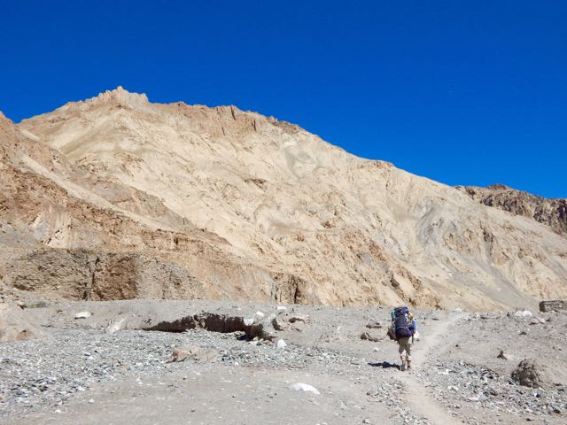

Horses are the most popular pack animal here. Followed by donkeys.

I didn’t once see a Yak or Yak hybrid used.
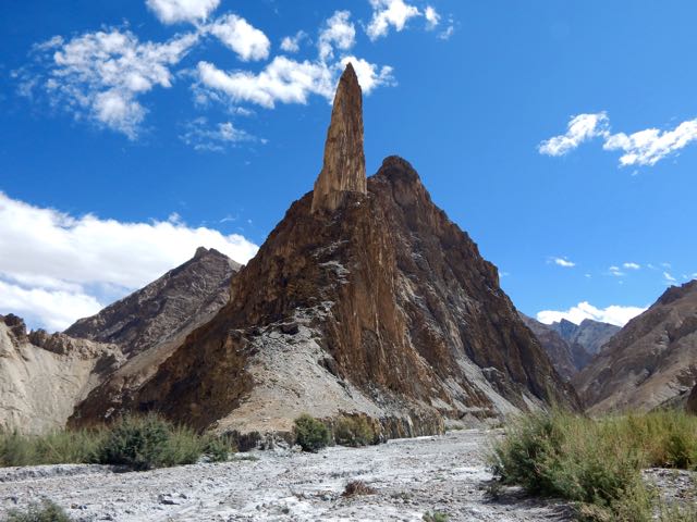
The geology here is stunning.

Sergei is an alpinist, having summited Lenin Peak. He was interested in these formations.


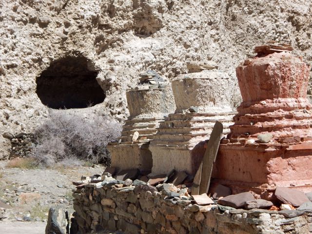
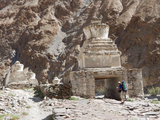
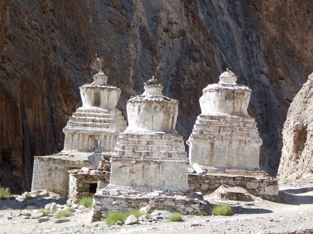
Though there are many impressive stupas and monasteries, it seems Ladakh does not have many monks.
This particular monastery does impress, however. Umlung Gompa 3890m, impossibly situated.

The parachute camp was closed. So we carried on.

Seabuckthorn berries are everywhere. Used for jam and other local products.

Higher and drier.

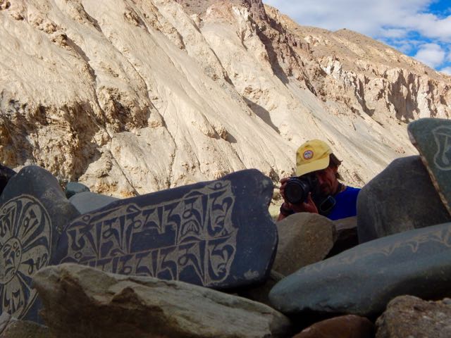

We considered stopping near Hankar 3990m. But Sergei likes to walk until dusk. So he can set up his tent in the dark (for free) and not be hassled by passing locals. Everyone who walks past asks for 150 ruppee, even a monk … though the monk actually seemed to have “receipts” in his robes for the camping fee.
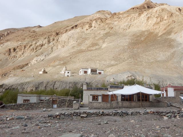
Exhausted and with sore feet, I finally put down my tent in the official camping at Thachungtse 4250m.
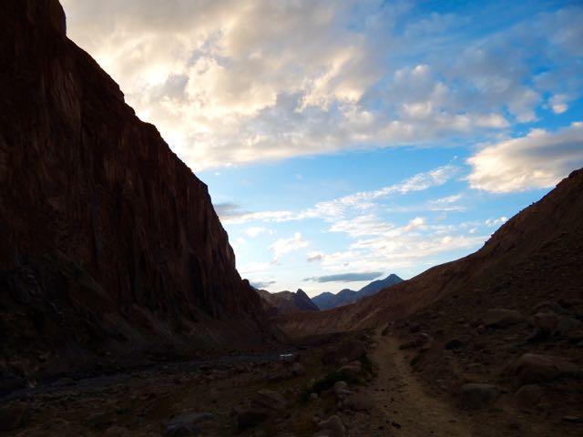
Sergei, lacking firewood to cook his dinner, decided to stay as well and use my gas stove.
See all my high resolution photos from this day on flickr.
day 0 | day 1 | day 2 | day 3 | day 4 | day 5 | day 6 | day 7 | info page
trip report by besthike editor Rick McCharles
day 0 | day 1 | day 2 | day 3 | day 4 | day 5 | day 6 | day 7 | info page
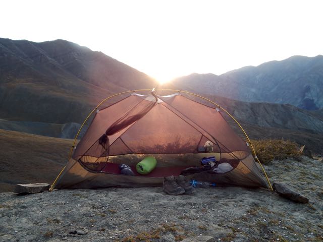
Like every other night on Markha, I slept under mesh. No fly needed.
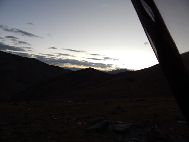
That typically means I awake at first light.

With the moon setting early, I enjoyed dark nights. Bright stars. Milky way.
Clean water for coffee. Just as soon as the ice melted.

Rabbits and partridge watched me pack up.


Kanda La 4973m was an easy crossing.

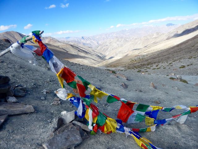
Holy shit.

It’s always a treat to see over the other side of the mountain.


Down. Down. Down.

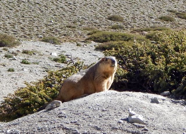
The marmots here are huge.
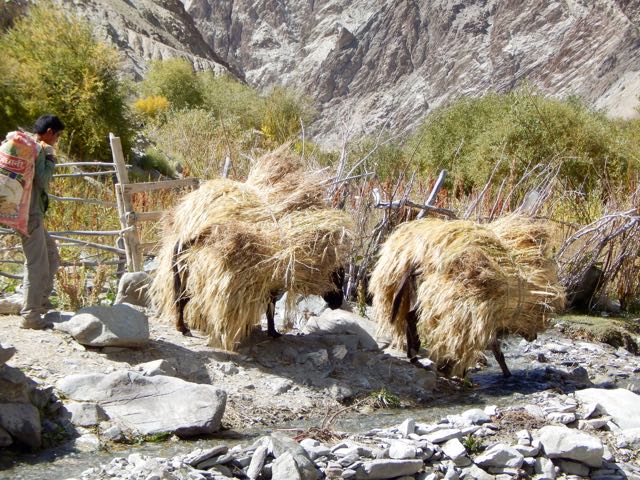
Before long I was back in the fields. Harvest in progress.
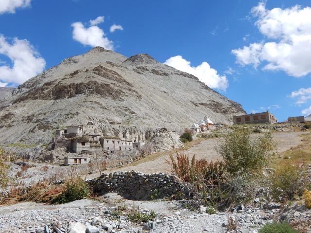
This is Shingo 4128m.
When you get low enough. Dry enough. Hot enough. Lizards appear.

I finally reached the Markha river at Skyu 3430m.


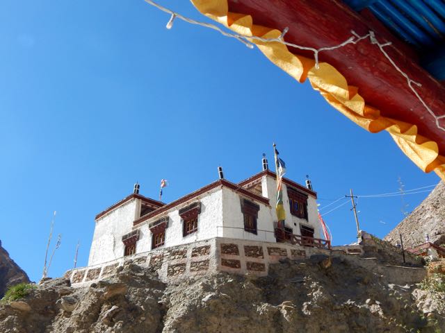
The monastery in Skyu is impressive. The parachute camp clean and organized.
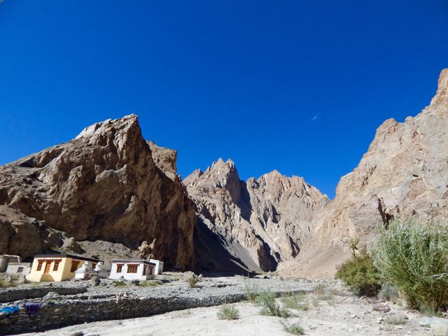

In fact, Skyu has electricity in the evening. And road building has been attempted.


Seems to me the Markha valley will one day be ruined for trekking. 😦
It was here I joined Sergei.
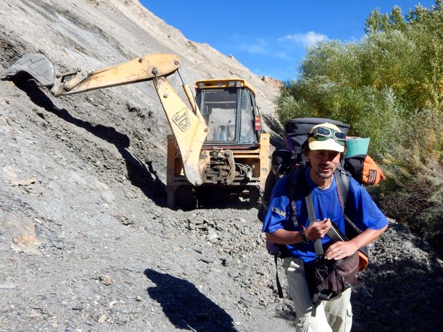
An alpinist and hiker from Russia, nobody on the trail carried a bigger pack. Nor walked as far each day. He was tenting, as was I.
Sergei cooked over an open fire each day. His own food brought from home. He needs wood, a rare commodity in Ladakh.
Happily there are many trees along the river in the lower Markha valley.
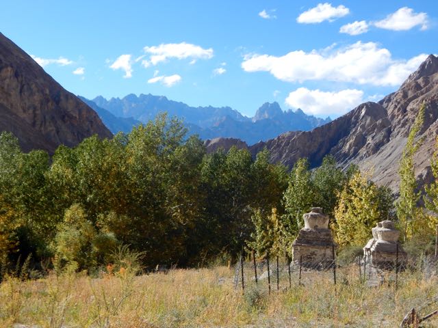
We continued up river.
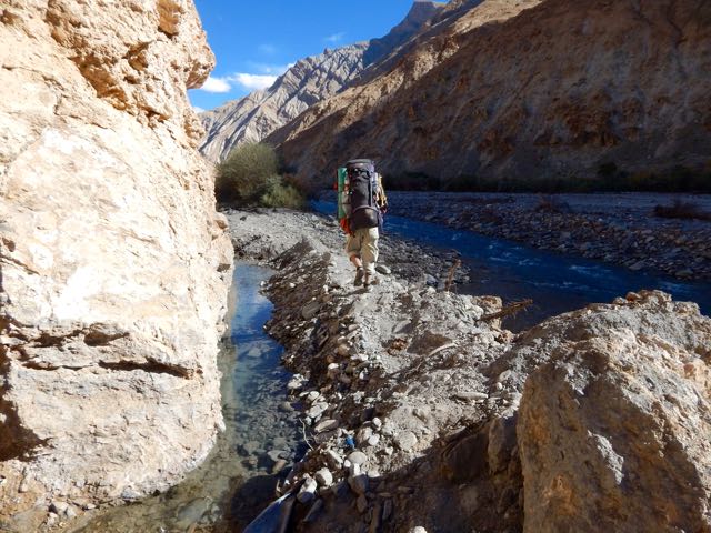
The Markha is beautiful. Rugged in places.

It was getting dark before we finally settled on a (dirty) closed campsite.
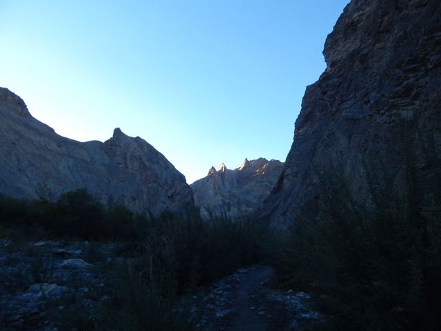
But it had a fire pit. Wood. And clean water. We were happy with the spot.

See all my high resolution photos from this day on flickr.
day 0 | day 1 | day 2 | day 3 | day 4 | day 5 | day 6 | day 7 | info page
trip report by besthike editor Rick McCharles
day 0 | day 1 | day 2 | day 3 | day 4 | day 5 | day 6 | day 7 | info page
Though I managed to get myself lost for 8 hours, this was to be the best day of the trek. 🙂
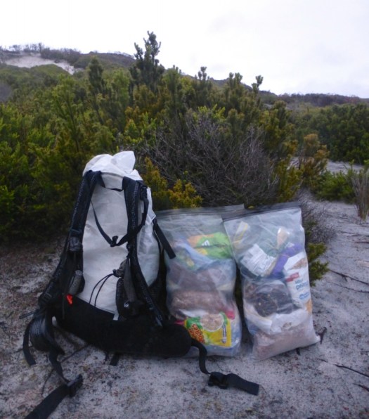
Was I carrying too much? Missing anything?

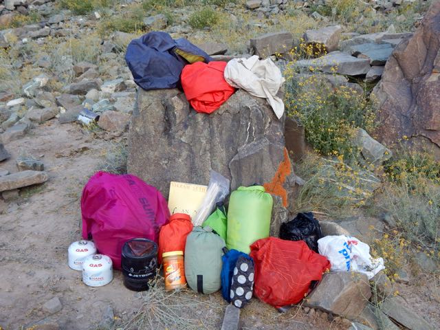
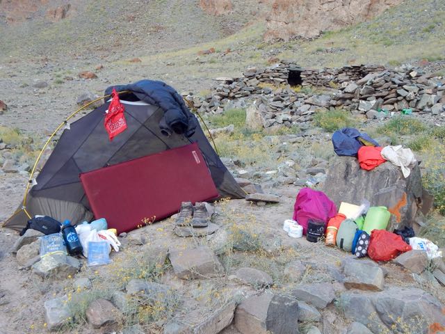
As it turned out, carrying 3 books was crazy. Instead I should have brought some sort of power supply for my iPhone. Audio books are best on the trail.
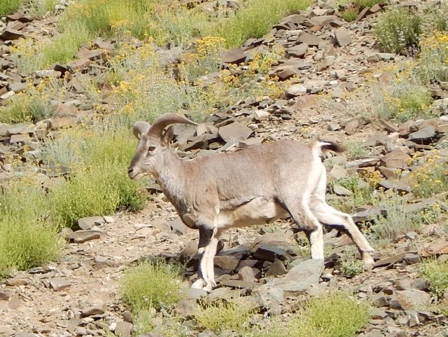
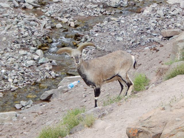
Around one corner I stumbled into a big herd of Blue Sheep.
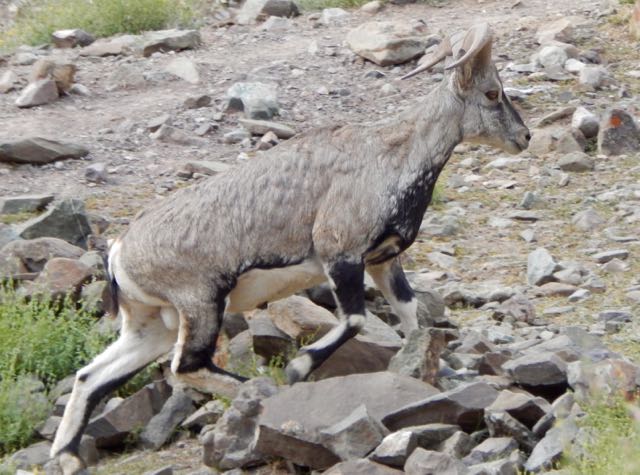
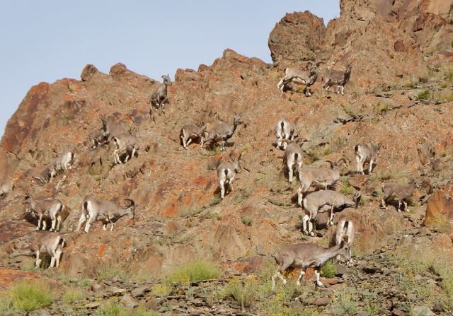
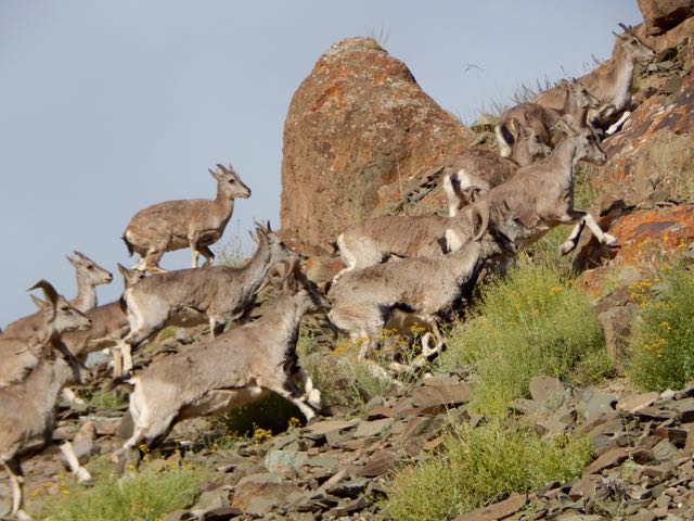
Lucky me.
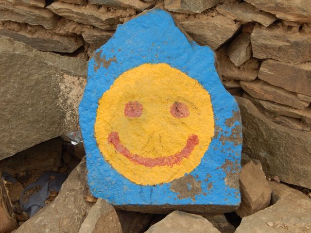
Actually, the boys at this parachute camp were providing a salt lick.
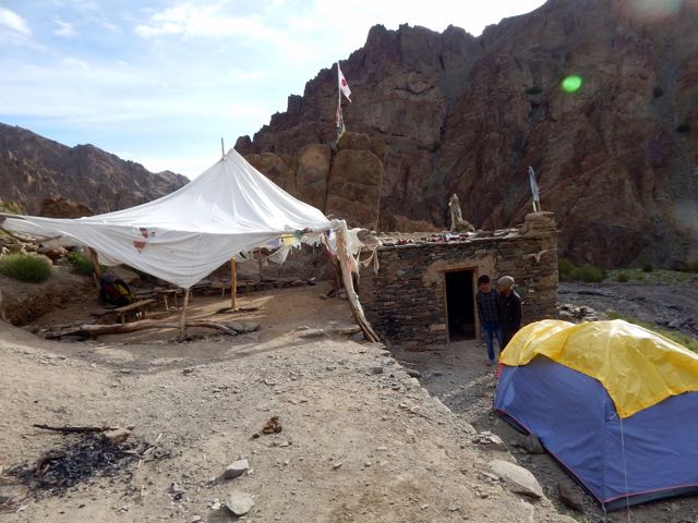
These parachutes are seasonal restaurants. They all serve hot and cold drinks. Few provide hot food.
I stayed some time snapping pics.

It’s here that you either ascend to climb Stok Kangri 6153m (20,182 feet) … or head for the Markha circuit via one of two passes.
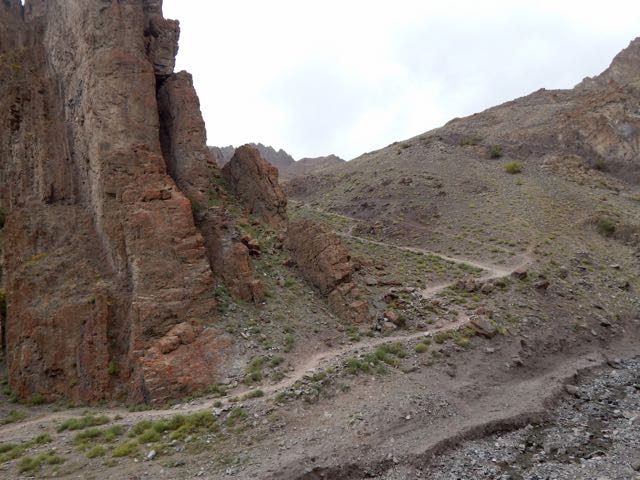
Up and up.
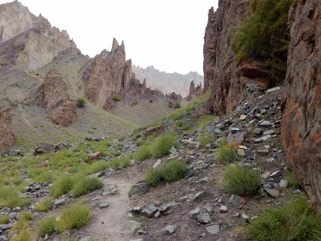
Beautiful and somewhat mystical.

My lunch for the first few days was peanut butter on Naan. I’d purchased these flatbreads from outdoor Muslim bakers near the mosques in Leh. Less than $1 for 10. They keep well on the the trail.

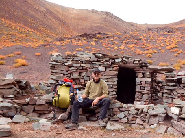
One very good reason to come to Ladakh end of season is to enjoy the autumn colours. It reminded me of Yukon in the Fall.
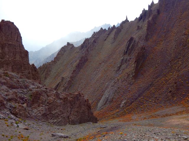

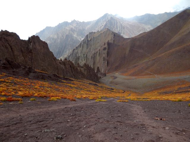
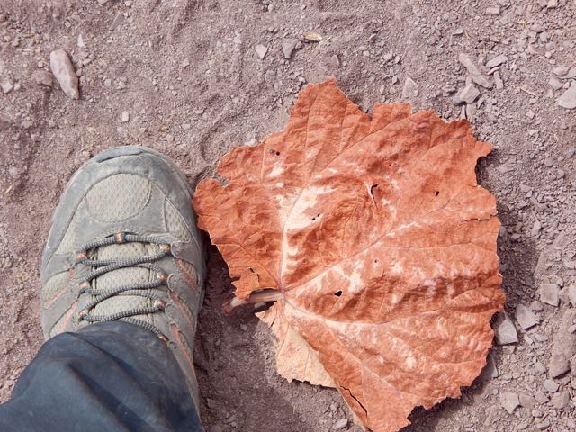
These odd high altitude plants are mostly leaf.
I finally reached Stok Pass. Alon from Israel arrived same time from the other side.
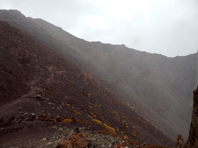
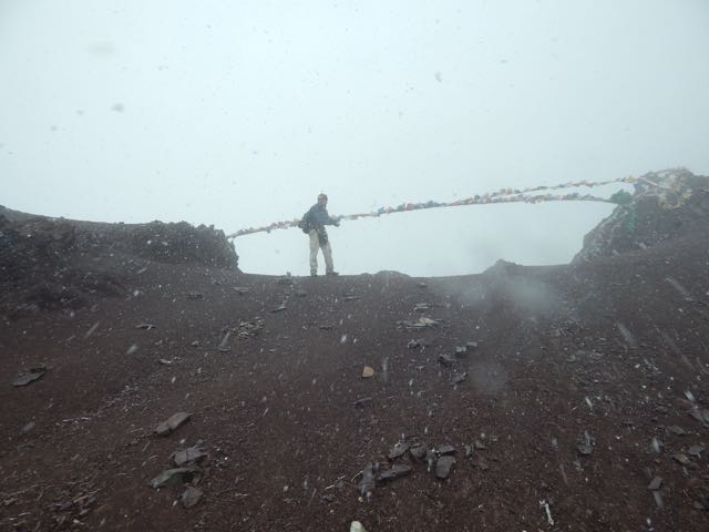
We were both happy to get some weather. It made the crossing more memorable.

Just behind Alon were 3 more hikers, not quite so enthusiastic about the snow.
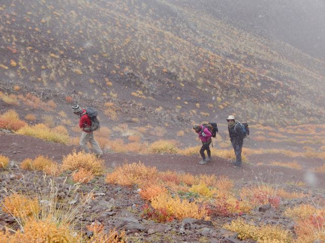
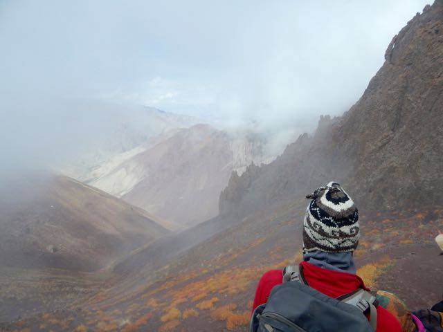
Gorgeous.
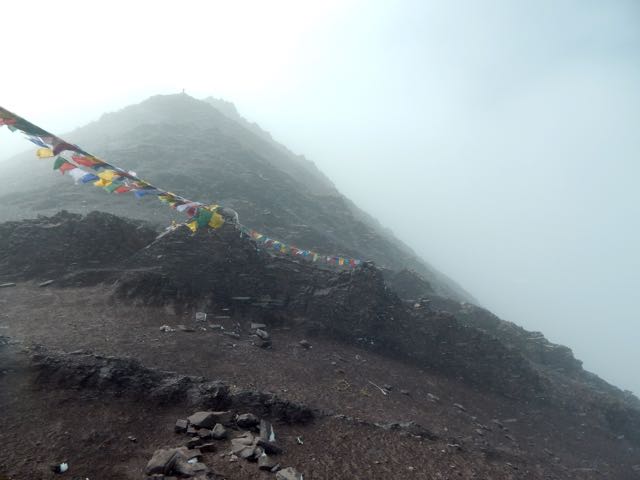
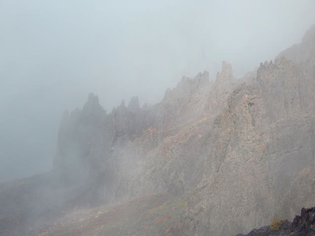
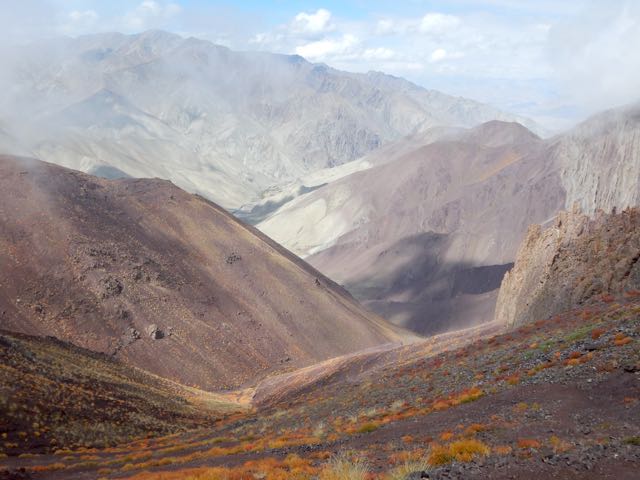
Dropping down the weather cleared.
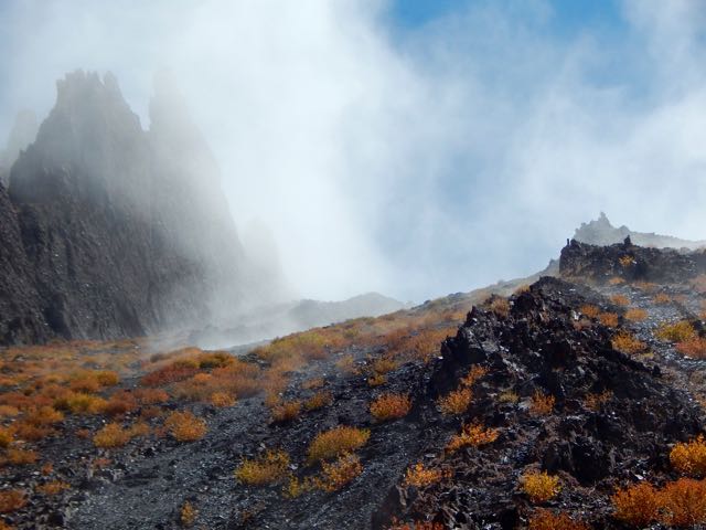
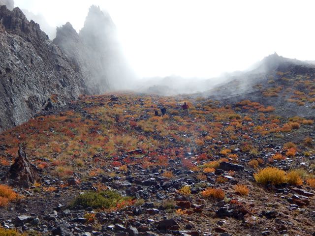
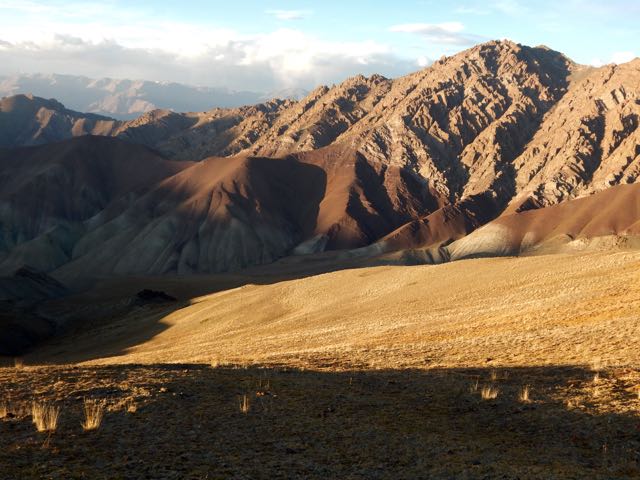
This is an extreme desert. Precipitation is rare.
I love desert landscapes.
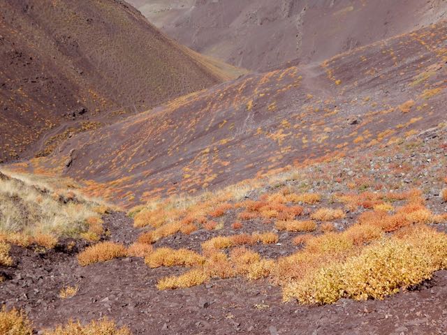
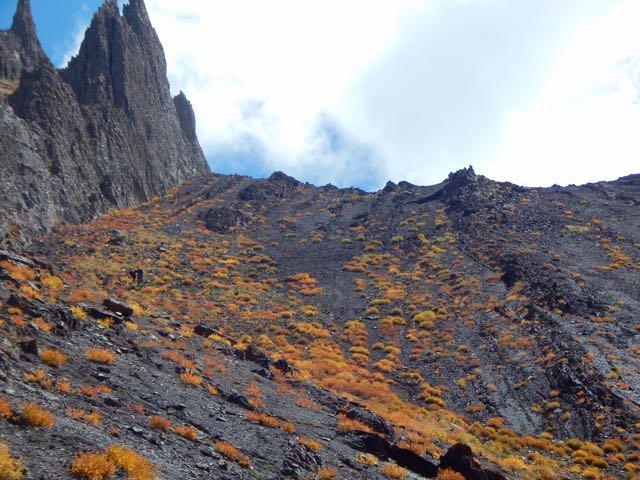
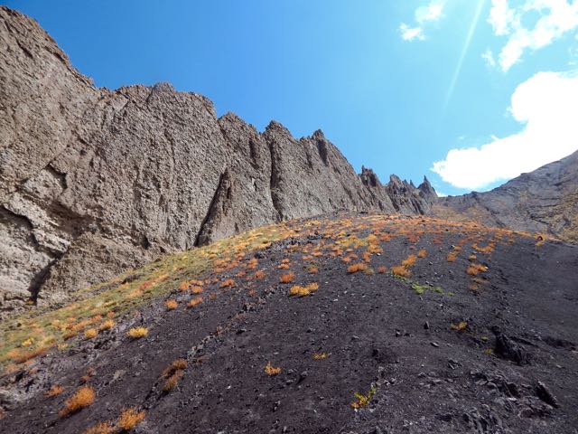
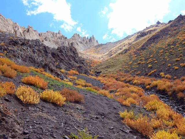
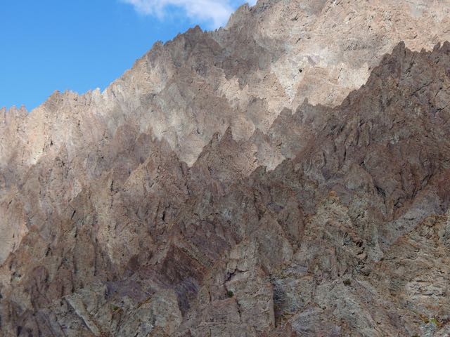
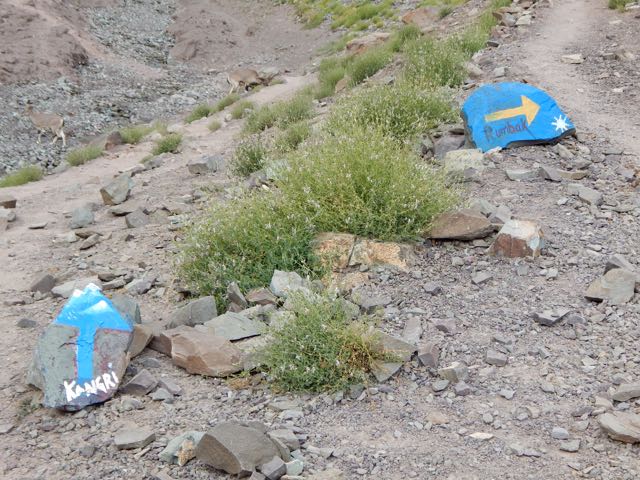
Arriving to the other side my plan was to shortcut – skipping Rumbak village. Why descend when I could traverse the mountain?
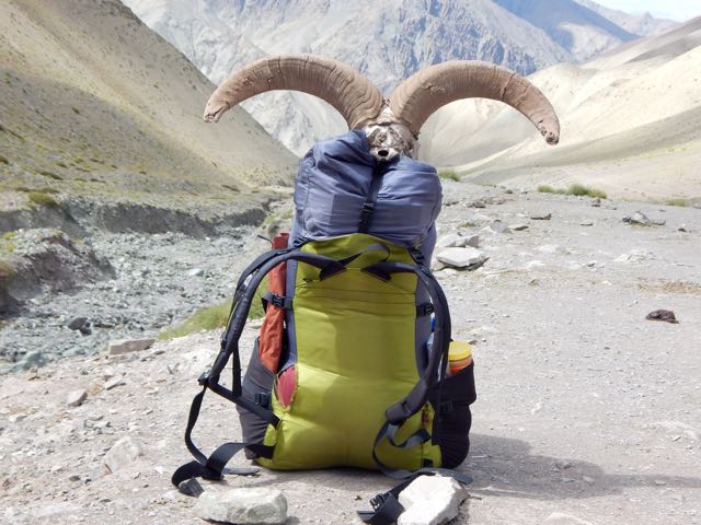
A series of cairns seemed to confirm my off-trail route.
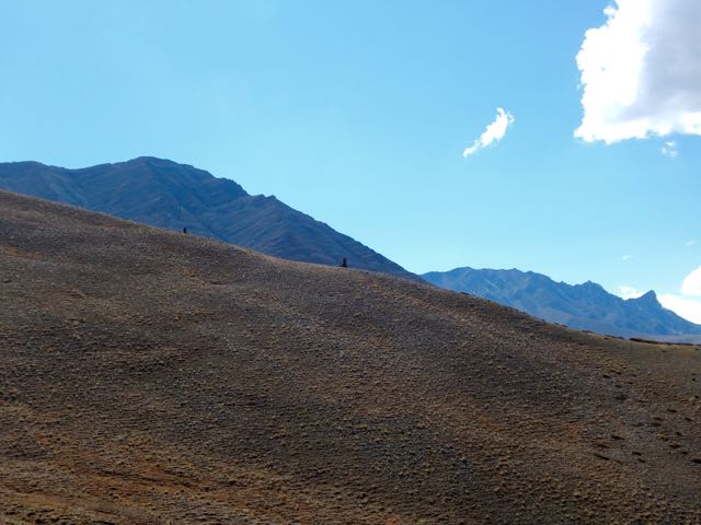
I left a Summit Stone in this sentry.
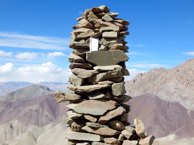
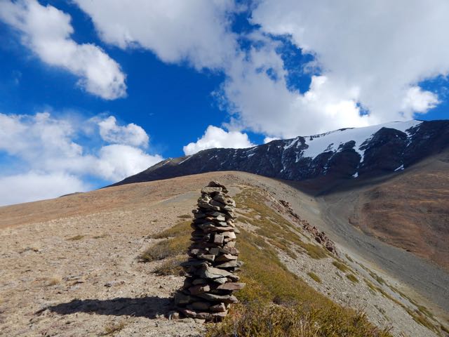
Climbing high I ASSumed I’d be able to traverse towards Kanda Pass in the next valley.

I ASSumed wrong. I was nowhere near Kanda. 😦
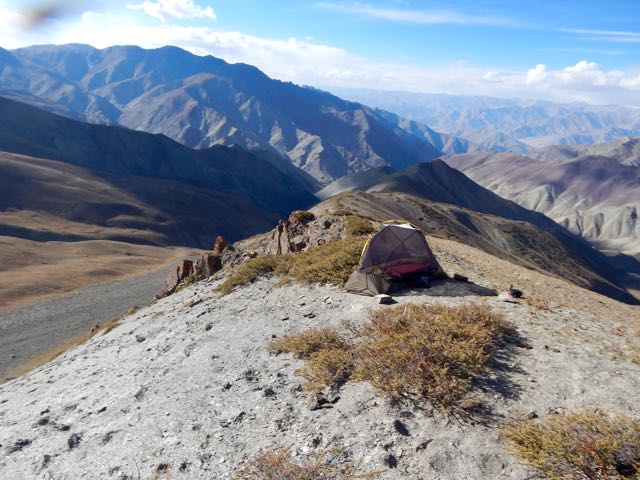
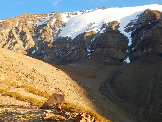
Daylight failing, all I could do was set up my tent well above 5000m.
Nothing lives up there. But a couple of vultures did fly-bys. Hoping I was dead.
It was an impressive campsite.
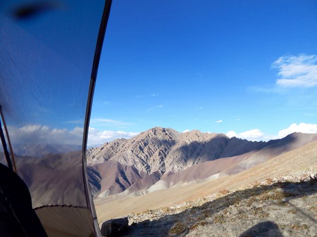
If needed, I could melt snow.
I listened to Jack Reacher on audio through the night.
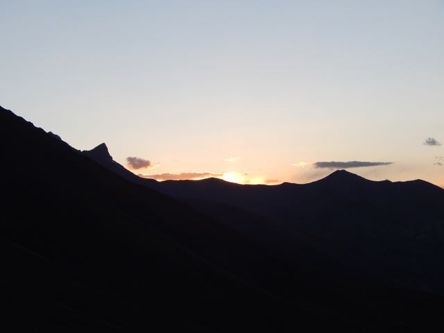
See all my high resolution photos from this day on flickr.
day 0 | day 1 | day 2 | day 3 | day 4 | day 5 | day 6 | day 7 | info page

